11th June 2022 - Easington Fell
Walk Details
Distance walked: 9.0 miles
Total ascent: 1446 ft
OS map used: OL41 - Forest of Bowland & Ribblesdale
Time taken: 5 hrs
Route description: Slaidburn-Holmehead Bridge-Bell Sykes Farm-Lower High Field Farm-Slaidburn-B6478-Broadhead Farm-Skelshaw Farm-Fell Side Farm-Easington Fell-Standridge Hill-Smelfthwaites-Meanley-Newton Bridge-River Hodder-Slaidburn
It's been a few years since I'd last been to Slaidburn for a walk, and I'd hoped to combine it with visiting the Coronation Meadows at Bell Sykes Farm on National Meadows Day, which would be the 2nd July this year. However, the setting for this year for Lancashire has been changed to a farm in Wyresdale in the west of the county near Lancaster. That doesn't mean that I can't walk through the meadows around the farm though, I just have to stay on the public footpaths. So that's what I did today, and after returning to Slaidburn from the meadows I did a route up onto Easington Fell that I've done a few times before. After a late breakfast at the Riverbank Tearooms I left Slaidburn under quite cloudy skies, and for most part I had more cloud than sunshine on what was a pleasant enough summer's day, that felt warm when the sun was out and had a strong breeze up on the moors.
I set off by making my way into Slaidburn from the car park and turning right at the T-junction at the war memorial. After crossing the bridge over Croasdale Beck I took the footpath on the right over fields to Holmehead Bridge, followed the track up to Bell Sykes Farm, then the footpath up to Lower High Field Farm, from where I took a footpath west across fields back to Slaidburn at the bridge over the River Hodder. I then walked up the road and round the sharp left hand bend until I reached a public footpath on the right, which I took south across fields and down to a lane. I went straight across the road and down the drive to Broadhead Farm, through the farmyard and then south across fields to Skelshaw Farm. A track then took me up to Fell Side Farm, up onto Easington Fell, and then across the fell until it reached the Waddington to Newton road. I then made my way north across to Standridge Hill, down its northern slope into the Hodder valley and off access land to Smelfthwaites Farm. I went through Smelfthwaites, then took a track on the right down past Meanley to a lane, turned left, walked up the lane to a footpath on the right, which took me down to the River Hodder at Newton Bridge. After crossing Newton Bridge a riverside walk took me back to Slaidburn.
Route map
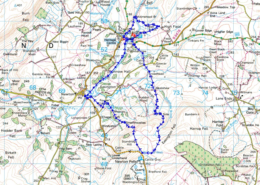
© Crown copyright. All rights reserved. License number PU 100034184.
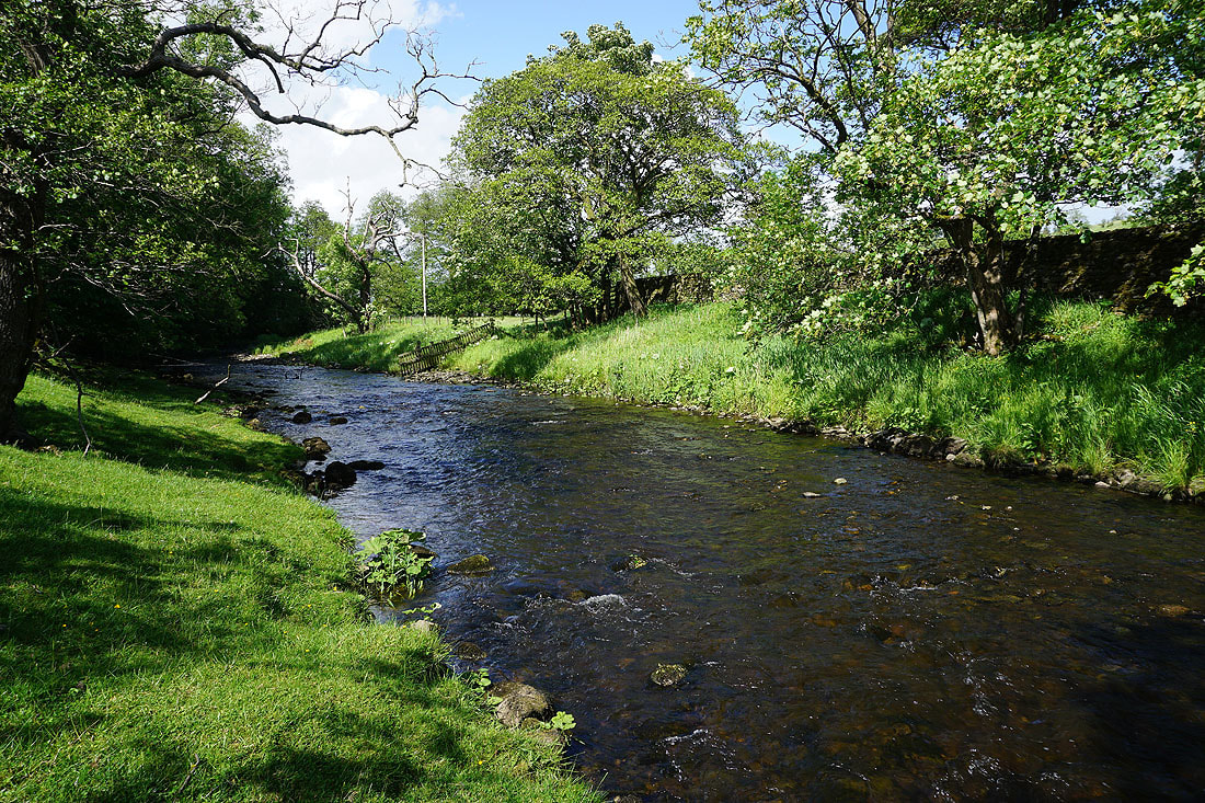
Crossing the bridge over Croasdale Brook in Slaidburn
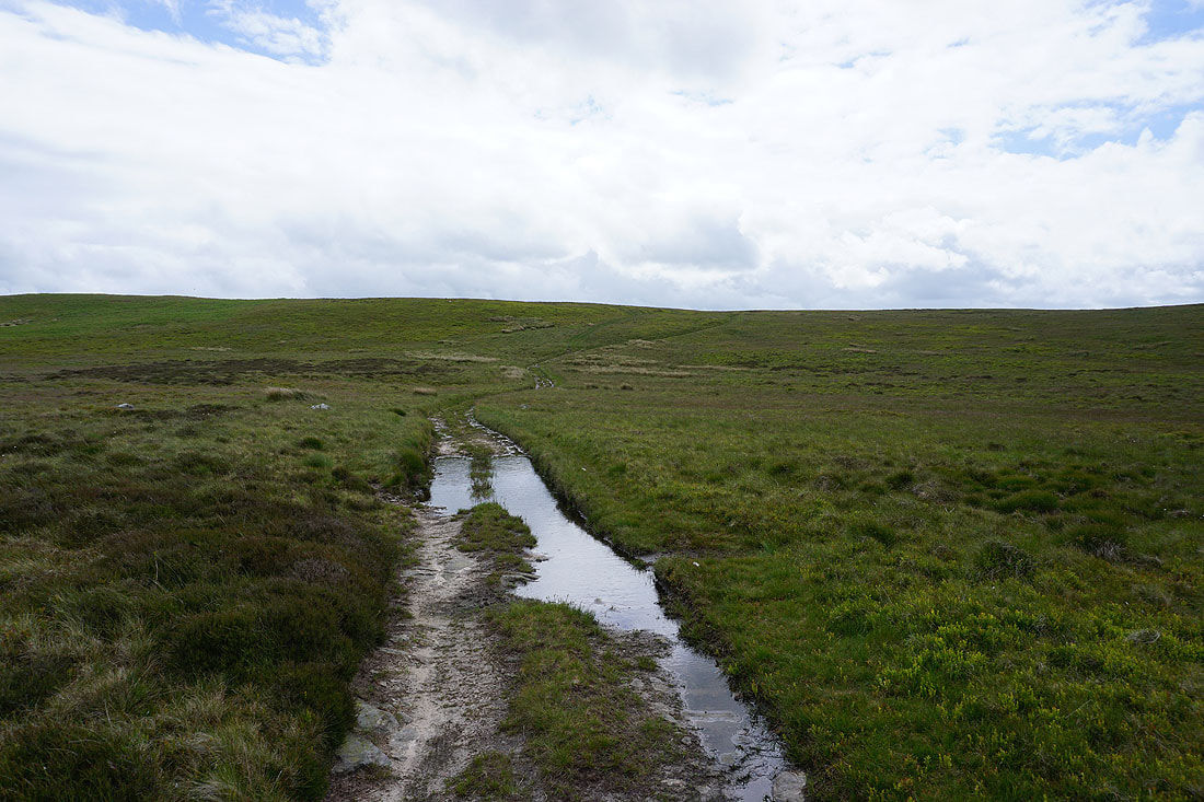
On the field path to Holmehead Bridge
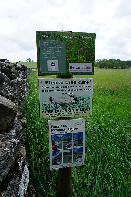
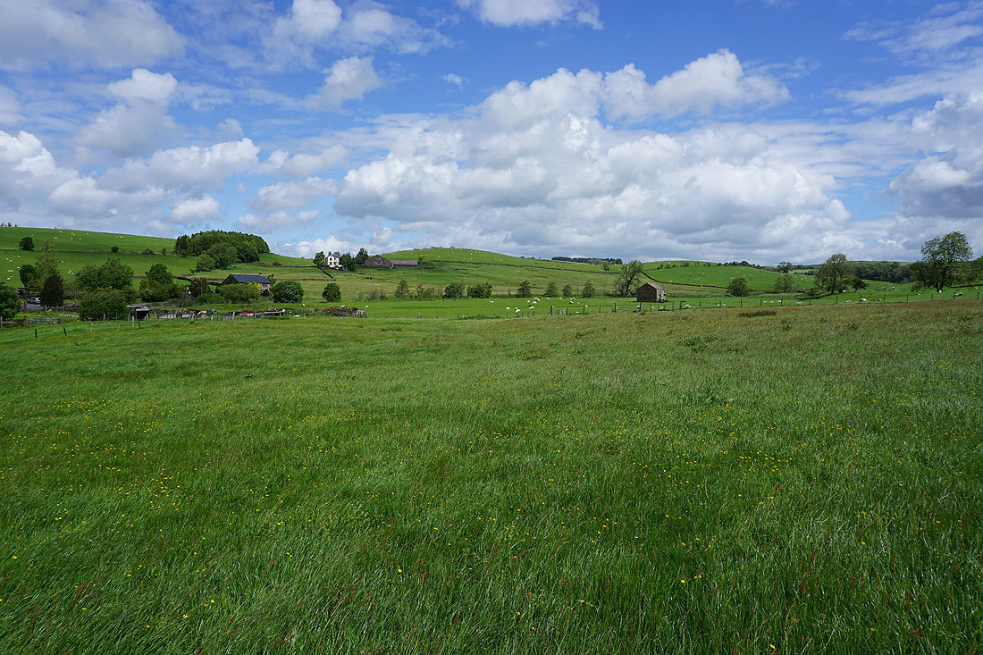
Entering the Coronation Meadows at Bell Sykes Farm
Following the path through the hay meadows to Bell Sykes Farm. National Meadows day has been held here on the first Saturday of July for the past several years, but this year it's been moved to Wyresdale. Perhaps it's because the meadows here aren't looking that good at the moment (it could be the weather or that I'm just too early), or they're giving somewhere else a try.....
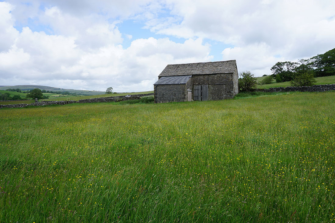
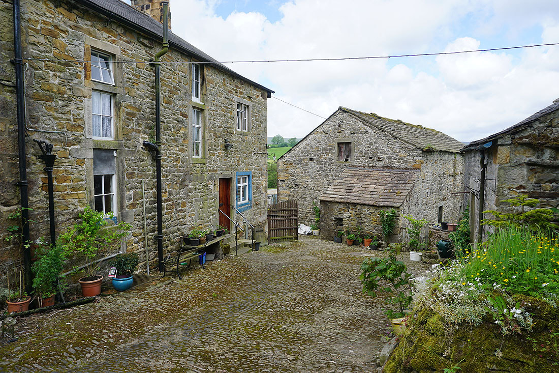
Bell Sykes Farm
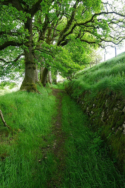
An old sunken way as I head uphill from Bell Sykes Farm..
..and when I turn round a great view of Burn Fell, Dunsop Fell and White Hill
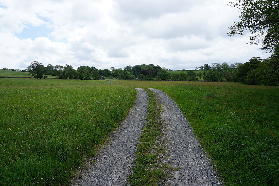
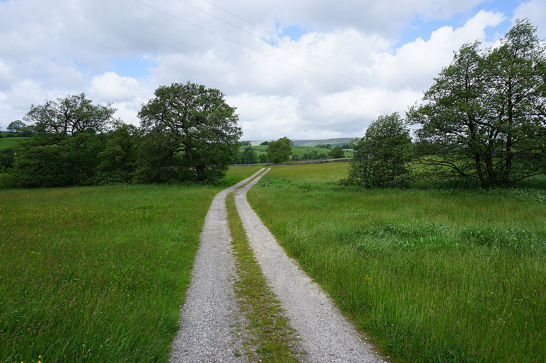
From Lower High Field Farm I follow a footpath through fields back to Slaidburn...
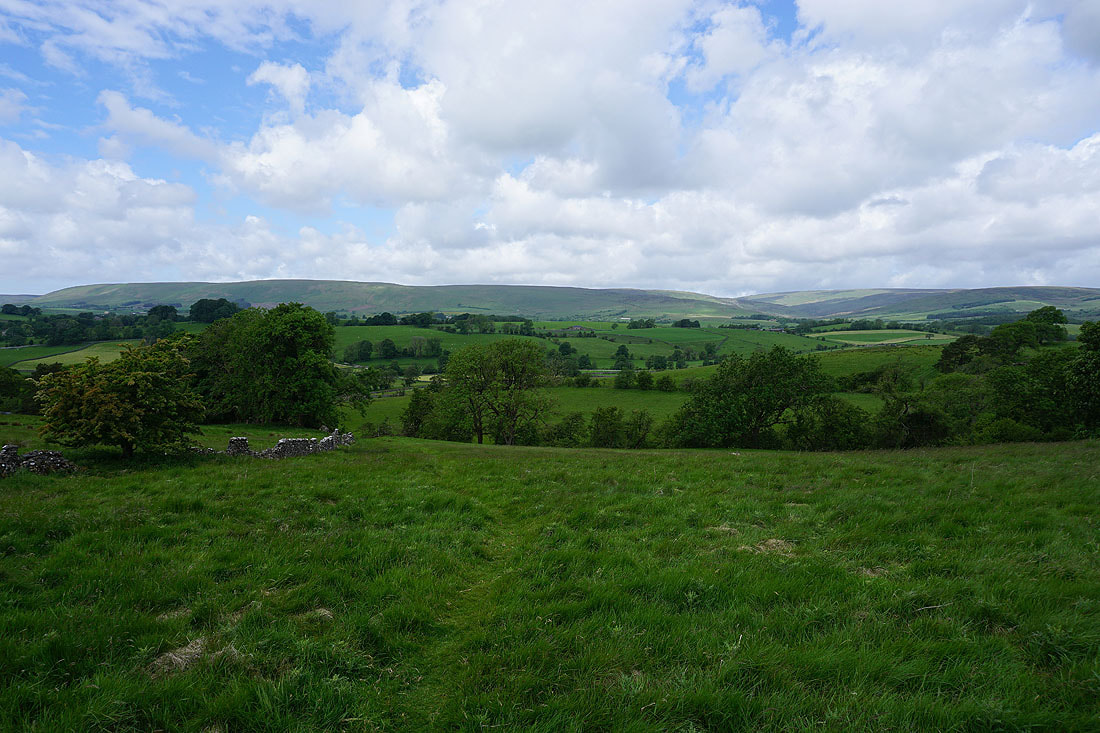
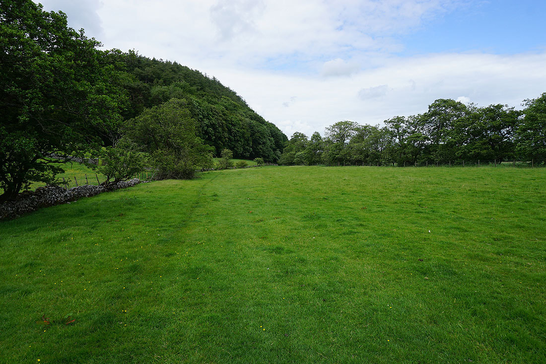
Looking back on Slaidburn as I take the footpath across Gaughey Hill
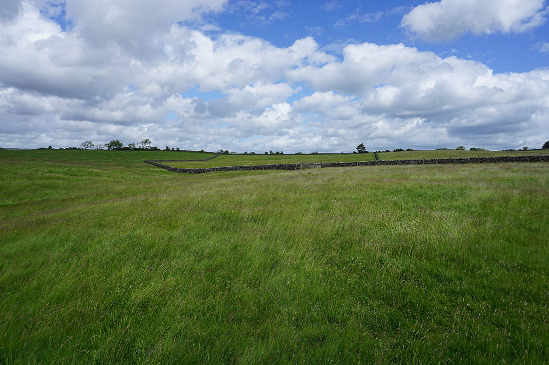
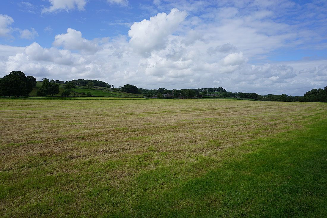
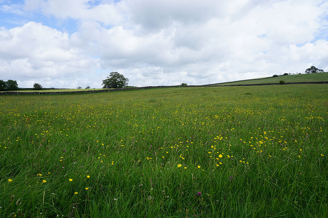
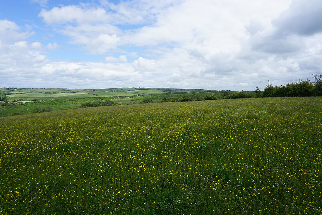
Blue skies and fluffy clouds above summer meadows
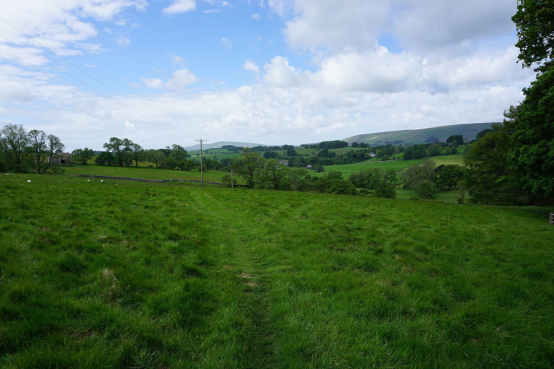
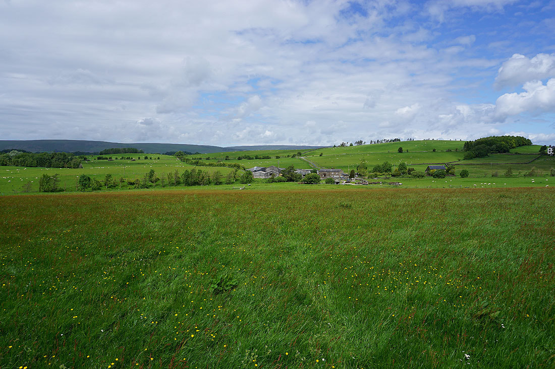
Easington Fell is in sight. I'll cross the road just below and head through Broadhead Farm on the left..
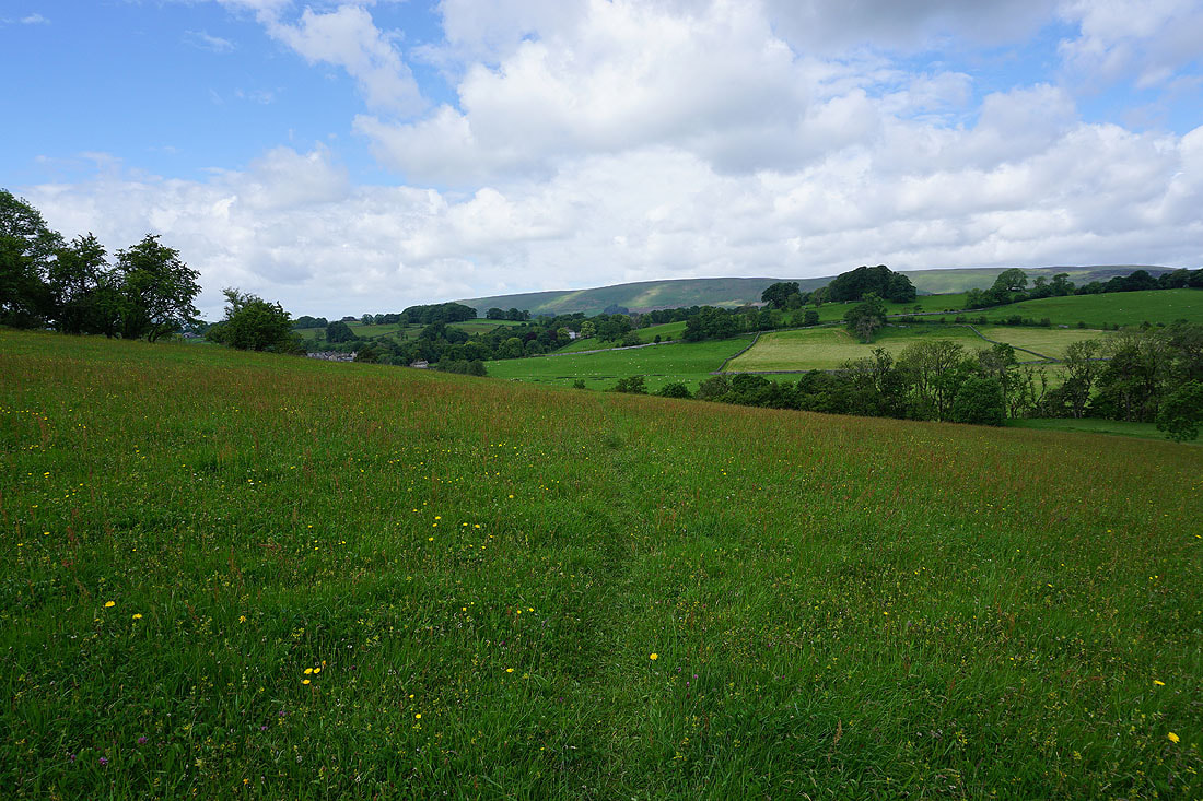
Summer sunshine on the meadows at Broadhead Farm..
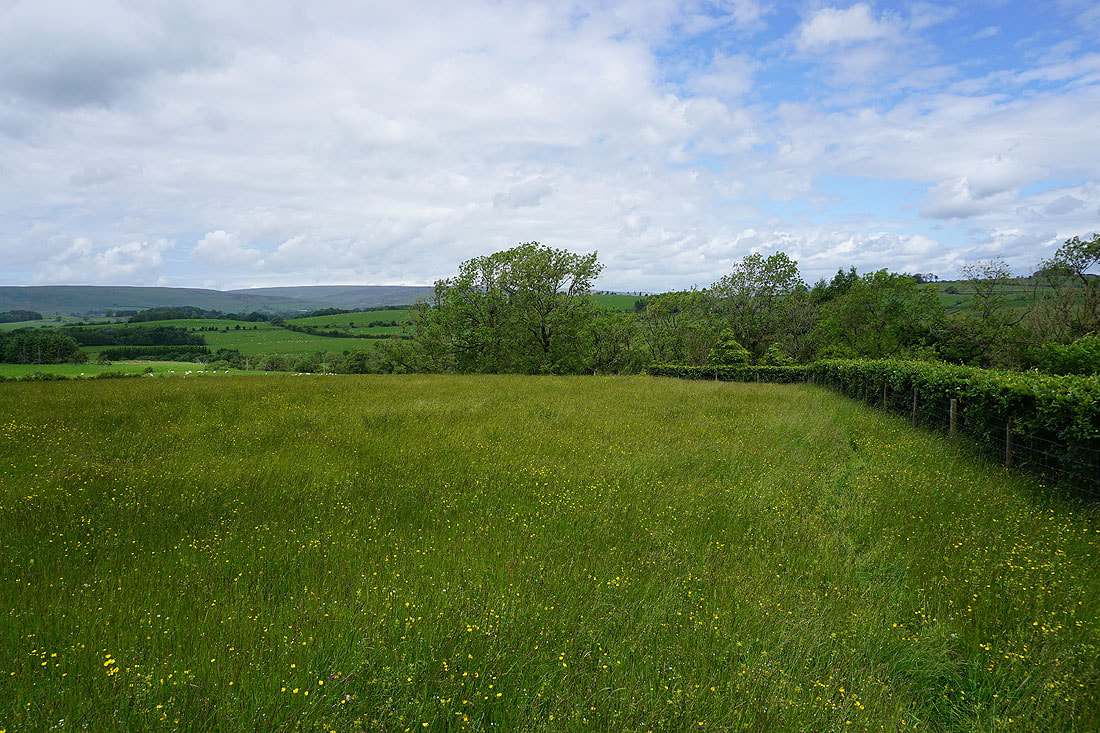
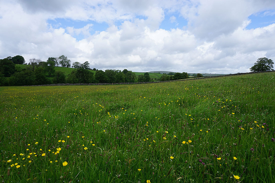
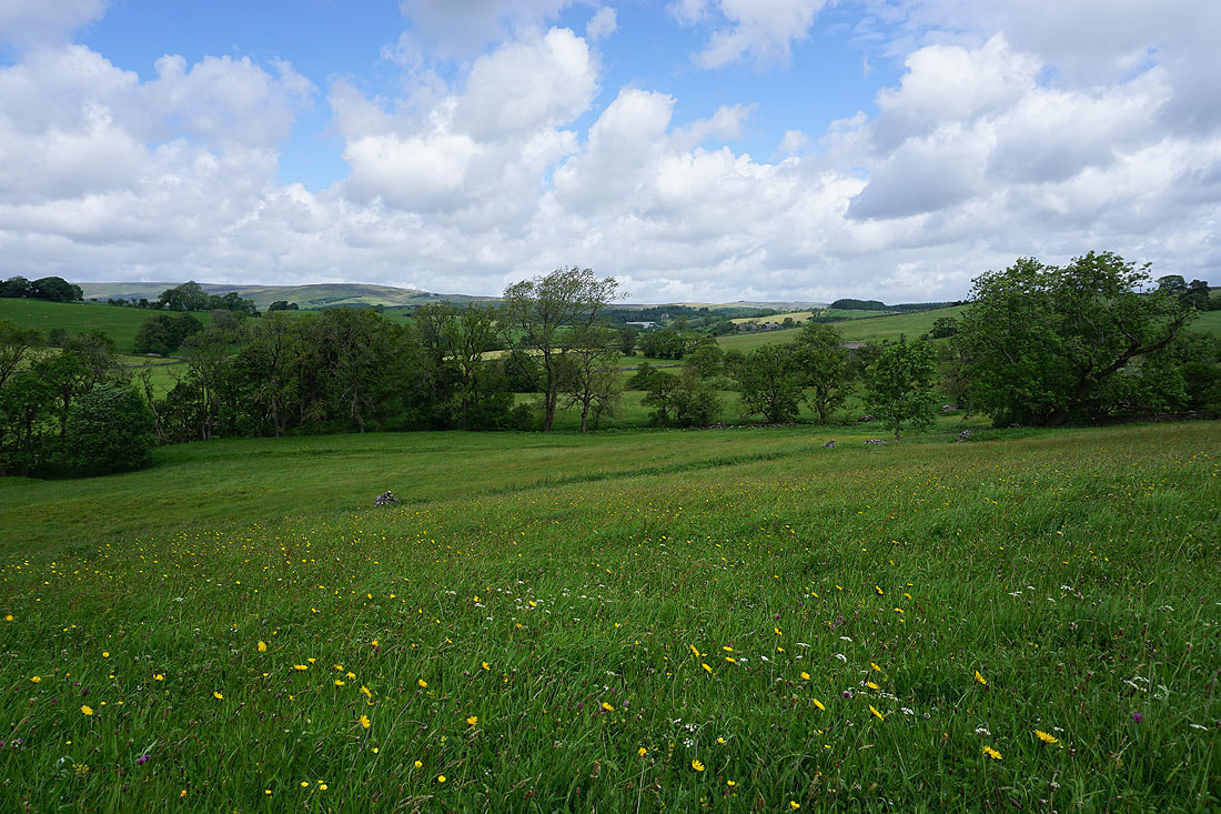
A buttercup filled field at Skelshaw Farm
Looking back at Skelshaw Farm. The track I'm on will take me on to the farm of Fell Side.
I spent a good ten minutes waiting for the sun to come out and brighten up this buttercup filled field
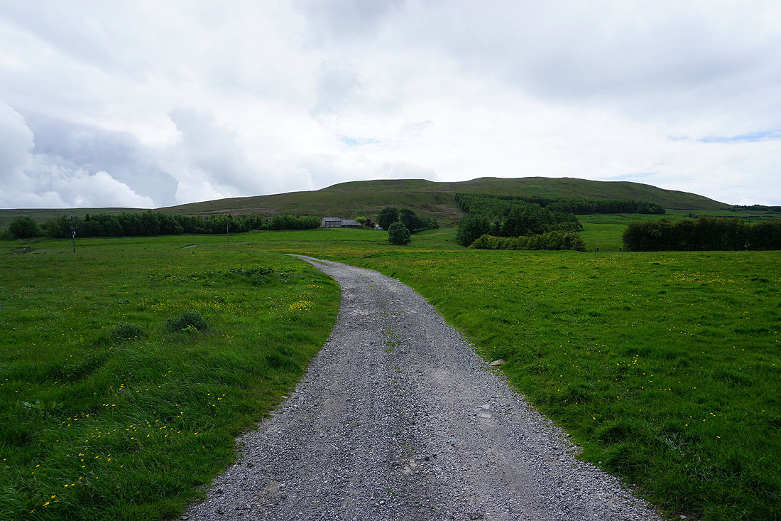
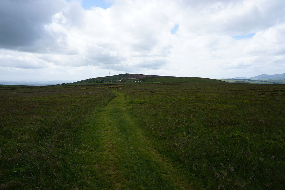
Fell Side Farm below Easington Fell
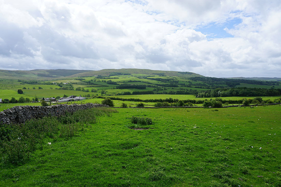
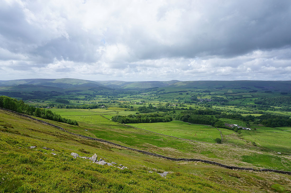
Looking across the valley of the River Hodder to Dunsop Fell, White Hill, Catlow Fell, and Bowland Knotts
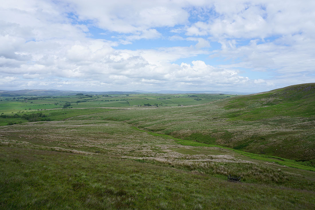
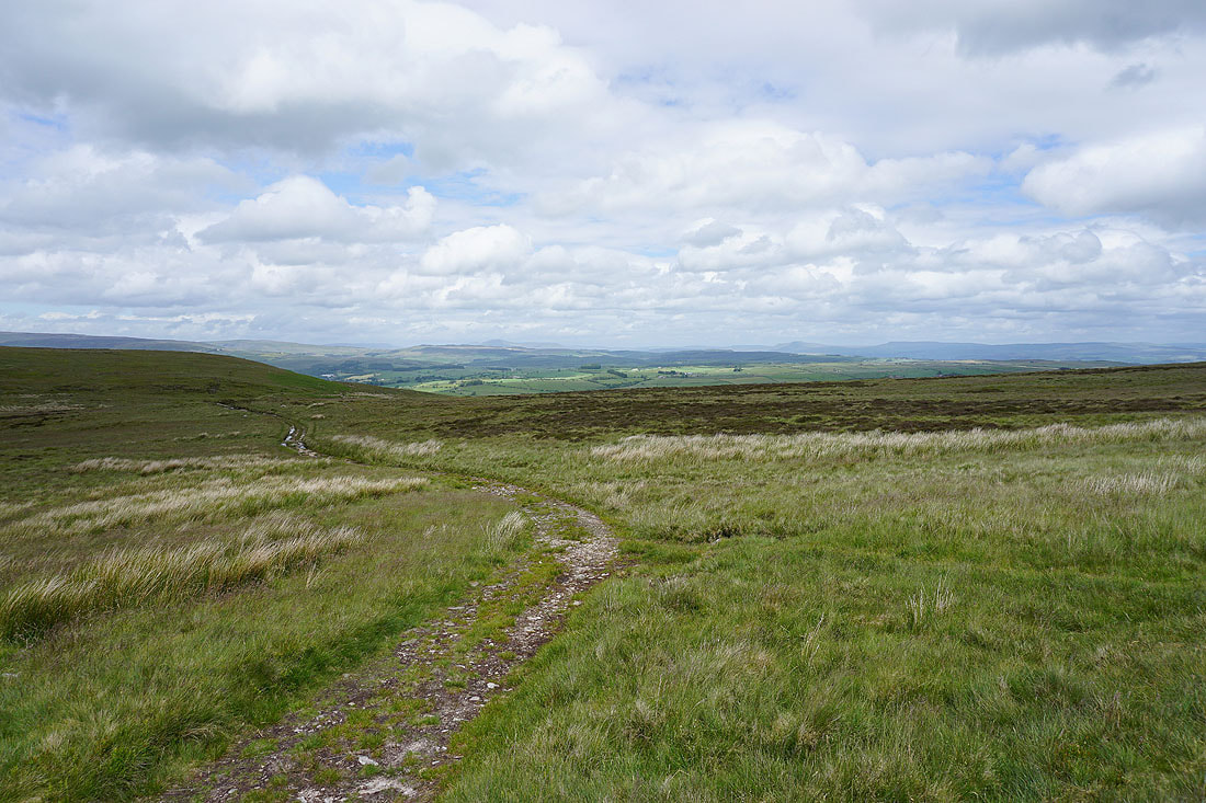
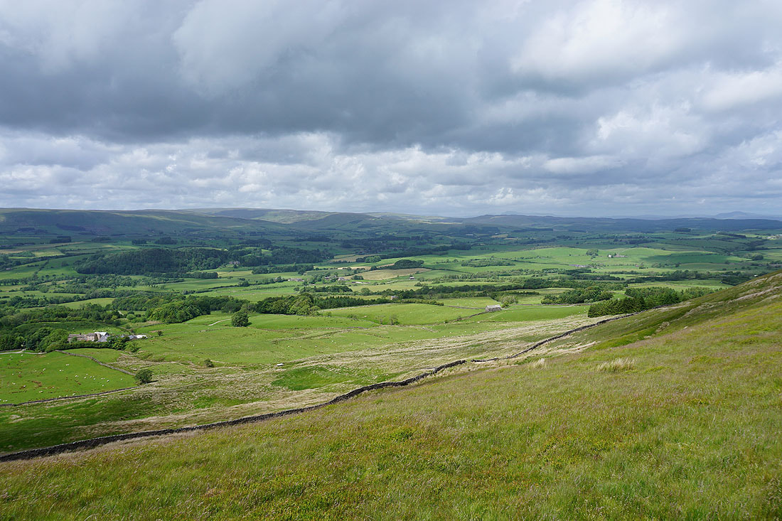
Looking back from the track up onto Easington Fell and there are views beyond Bowland to Ingleborough, Penyghent and Fountains Fell...
On the top of Easington Fell and any illusions of wilderness are shattered by the working quarry and the Waddington to Newton road that runs across the top
Parlick, Fair Snape Fell and Totridge in the distance as the track heads towards the road
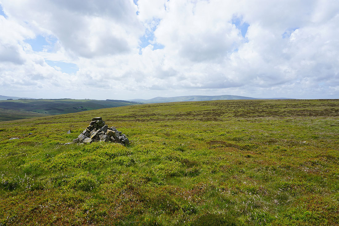
The cairn on Standridge Hill. An appropriate place to take a break.
The top of Easington Fell rises behind me
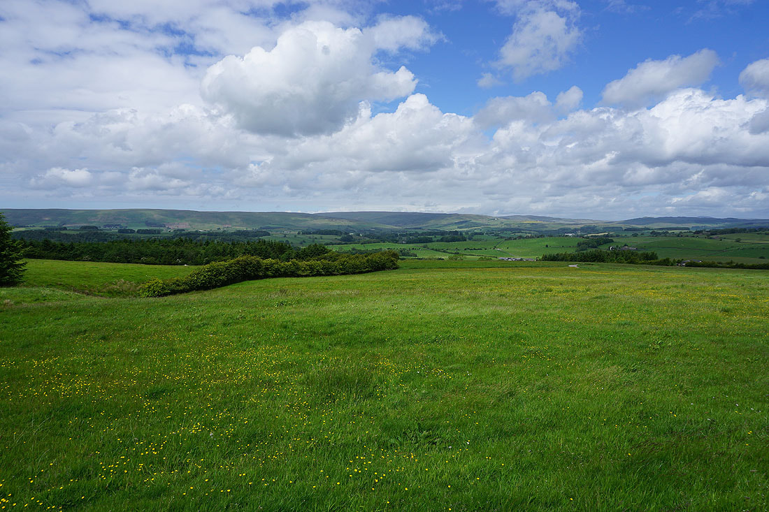
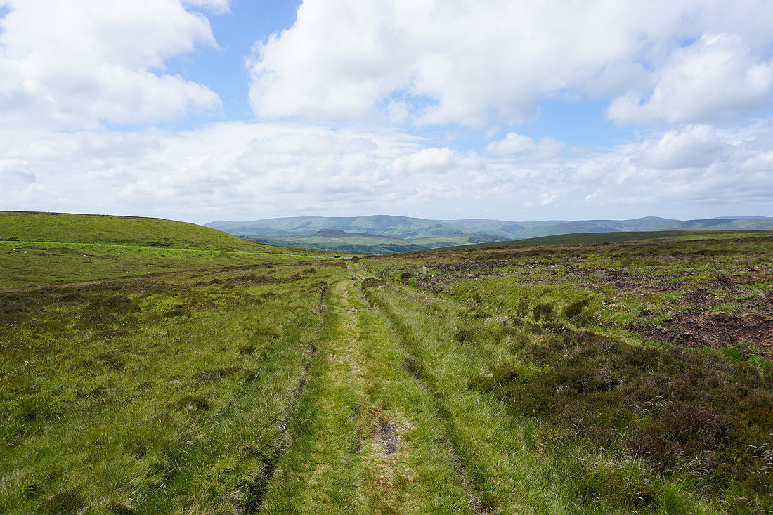
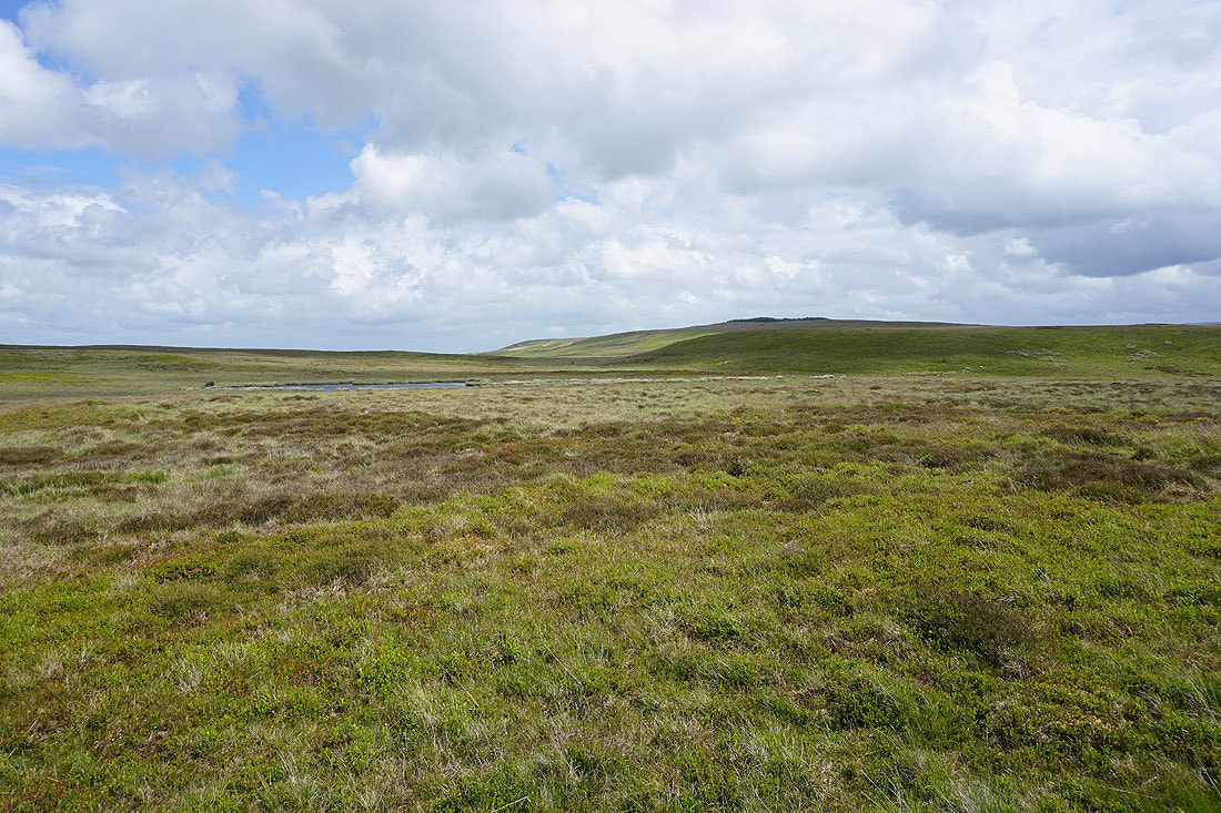
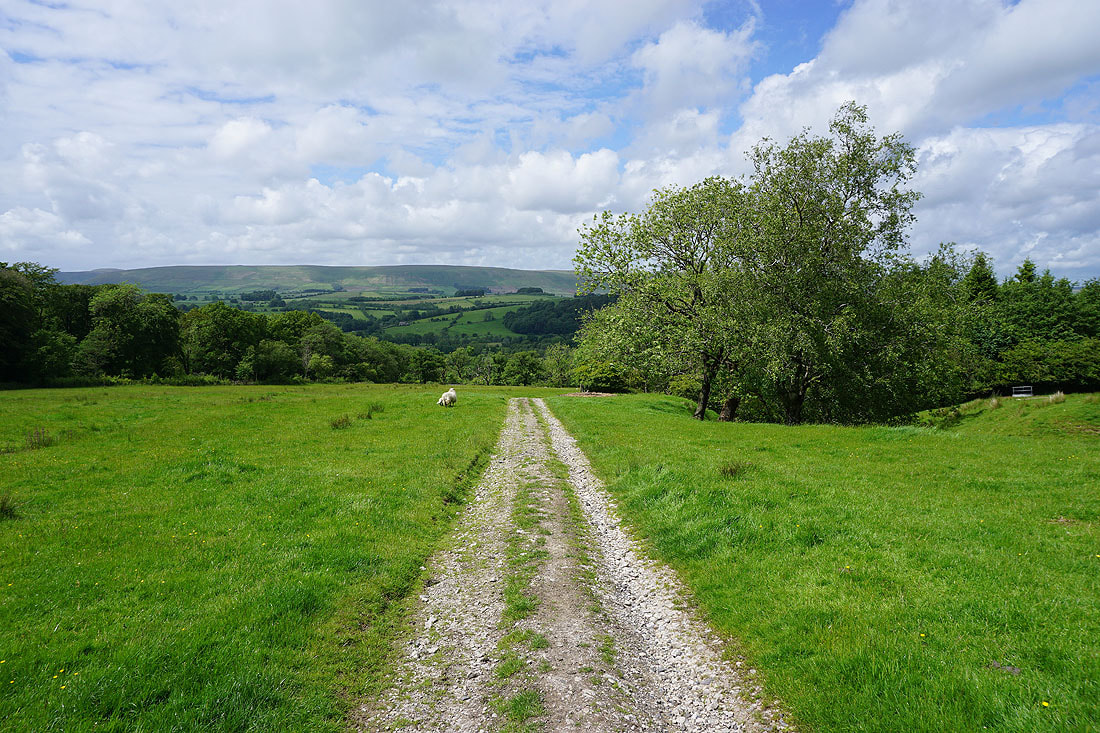
As I reach the northern edge of the fell a fantastic view of Hodder country reveals itself. Totridge, Whins Brow, and the countryside around Dunsop Bridge.
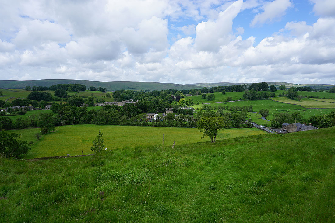
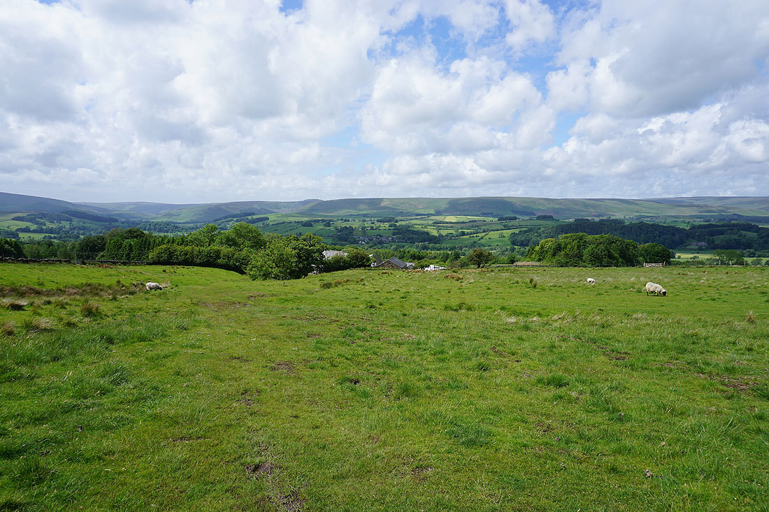
Slaidburn, White Hill, Catlow Fell, Bowland Knotts and Gisburn Forest, with Ingleborough and Penyghent in the distance
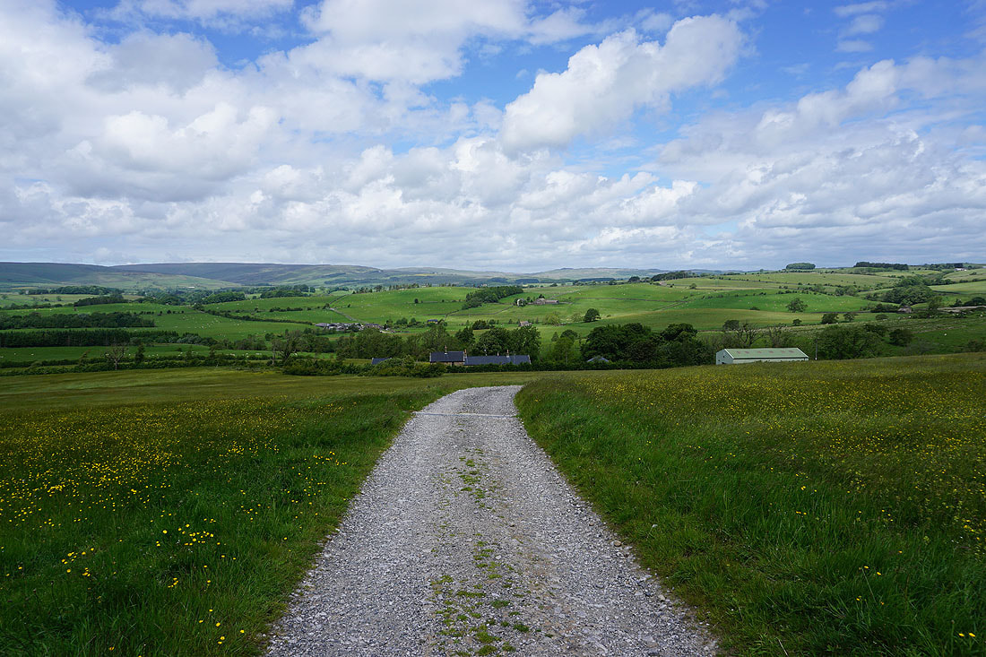
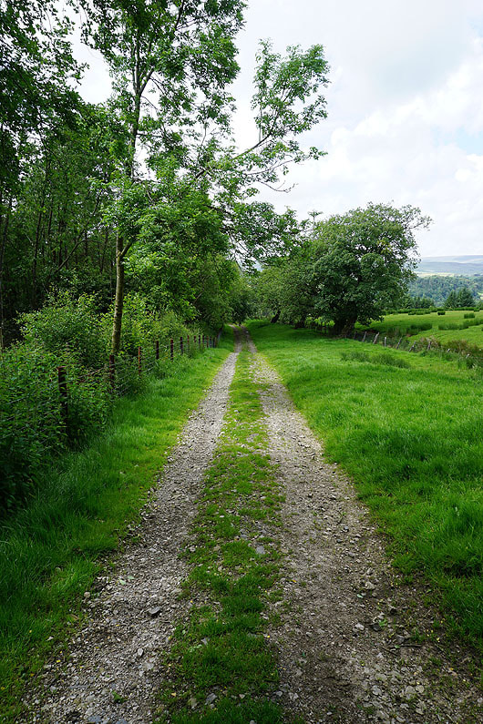
Following the footpath down to Smelfthwaites
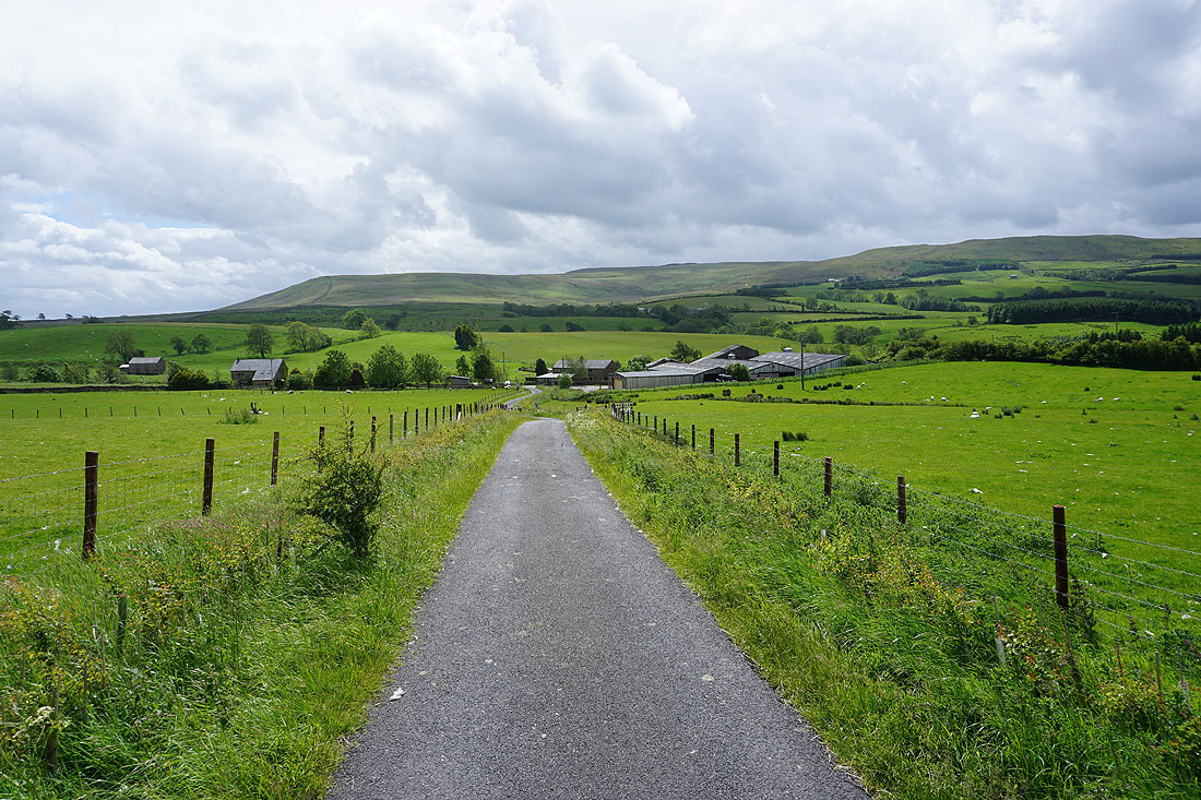
From Smelfthwaites I then take the bridleway down to the road to Easington..
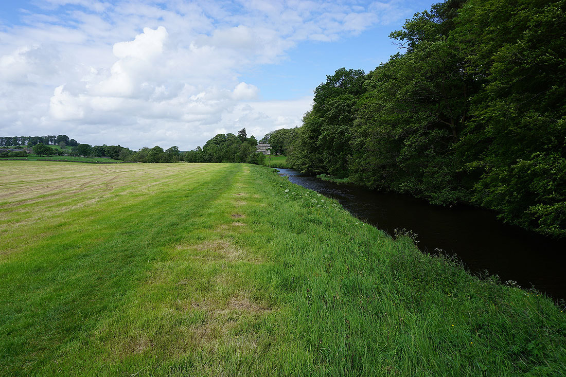
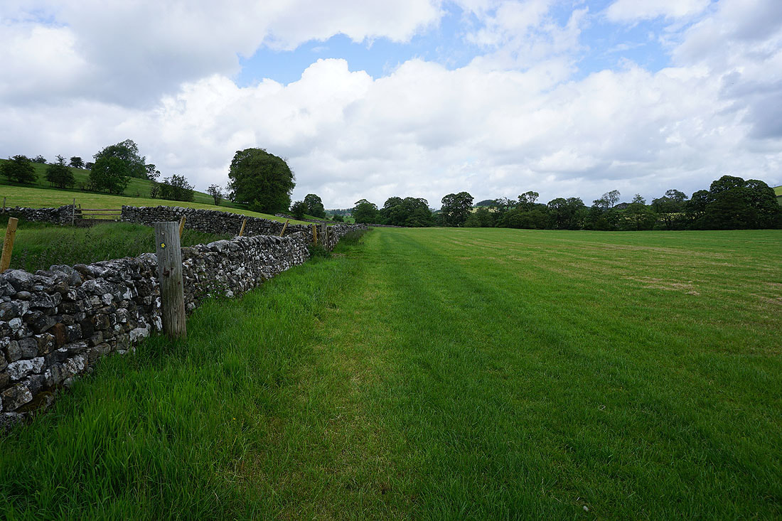
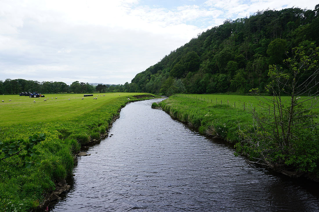
A fine afternoon in the Hodder valley as I follow the footpath down to the river
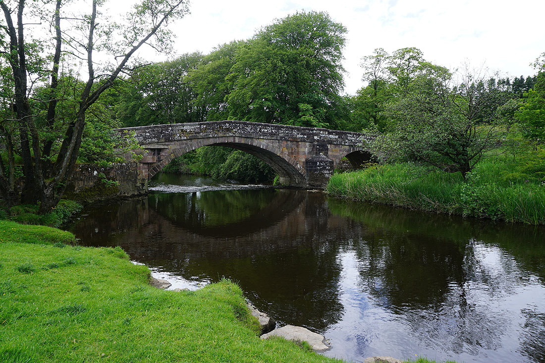
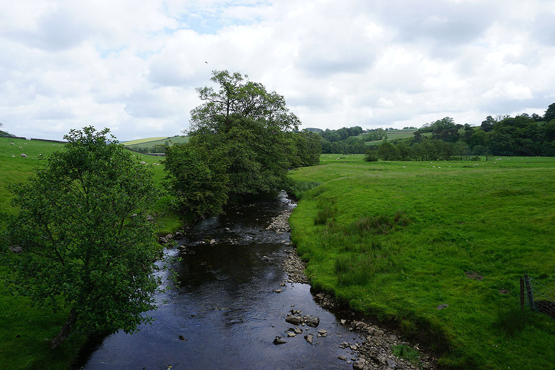
By the River Hodder at Newton Bridge. I'll cross over and follow the path back to Slaidburn.
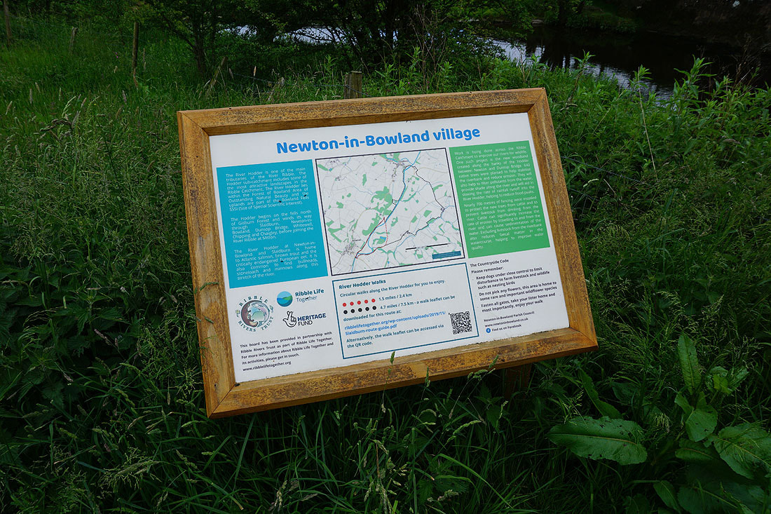
This noticeboard provides some information about the work being done to improve the River Hodder for the wildlife that lives in and around it
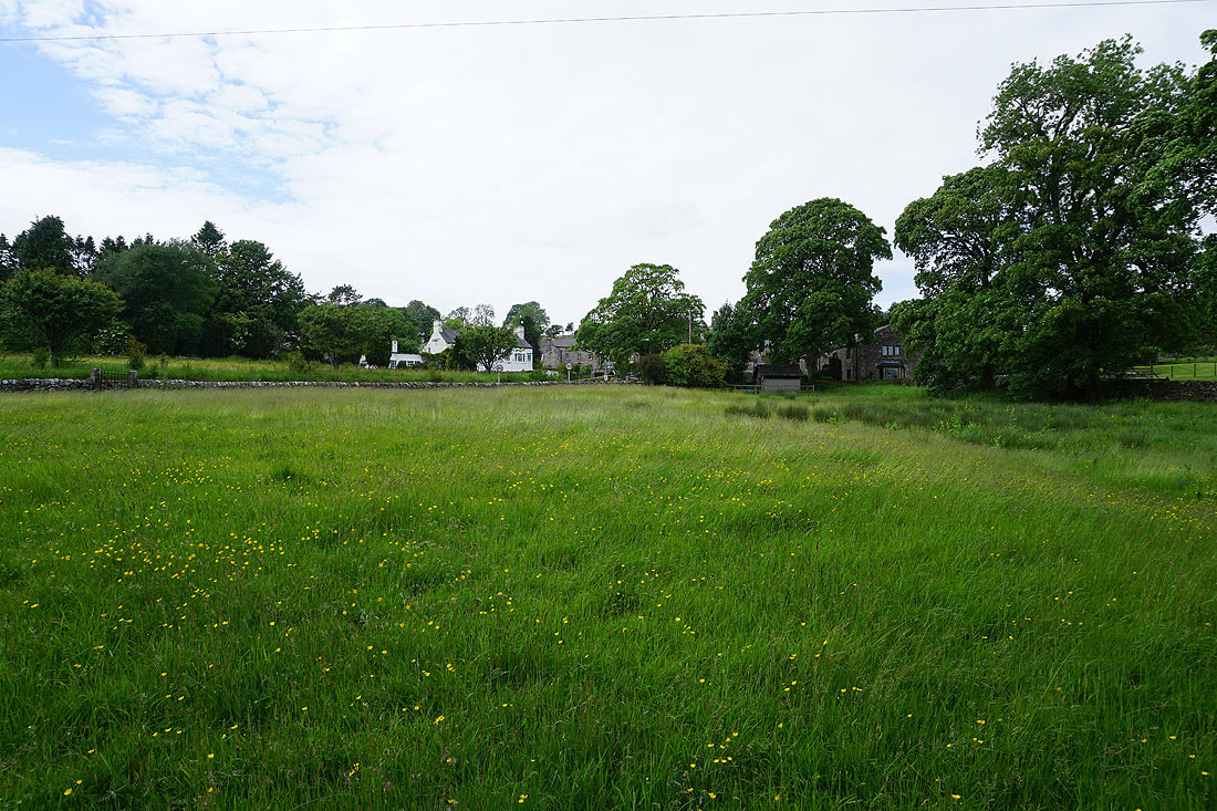
The white building is the Parkers Arms in Newton-in-Bowland
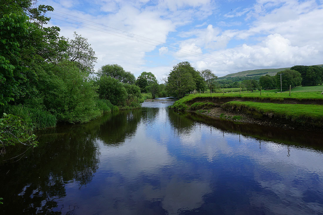
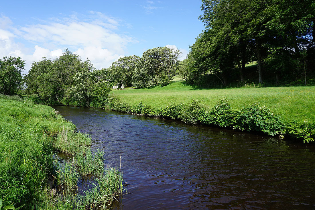
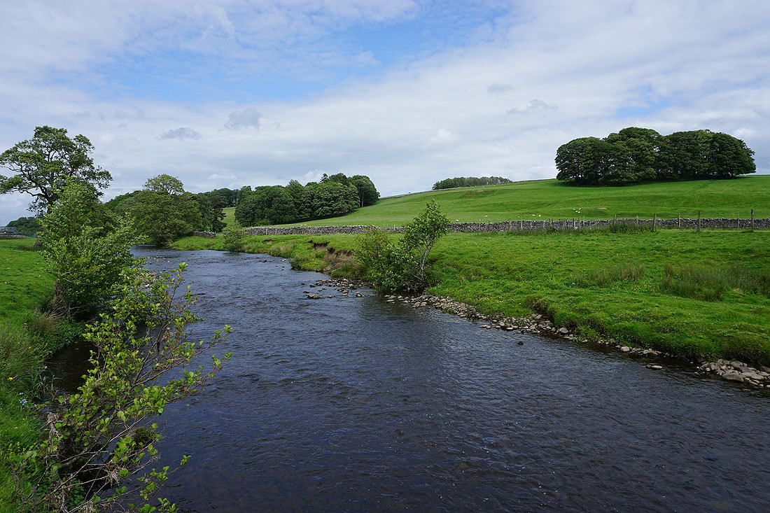
A short distance upstream and there's a fantastic view of the river
Heading under the wooded hill of Great Dunnow
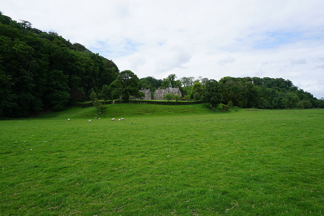
Dunnow Hall
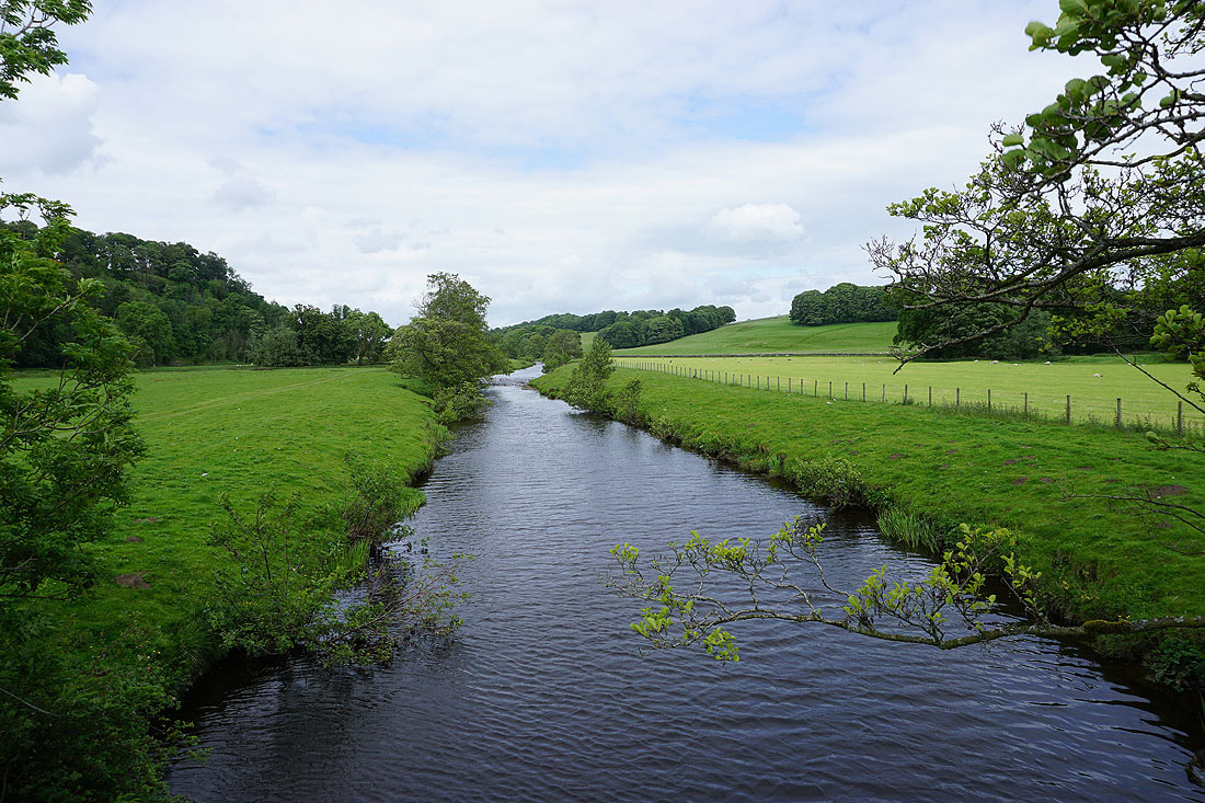
A footbridge over the river gives me a chance to take a photo looking upstream..
..and downstream
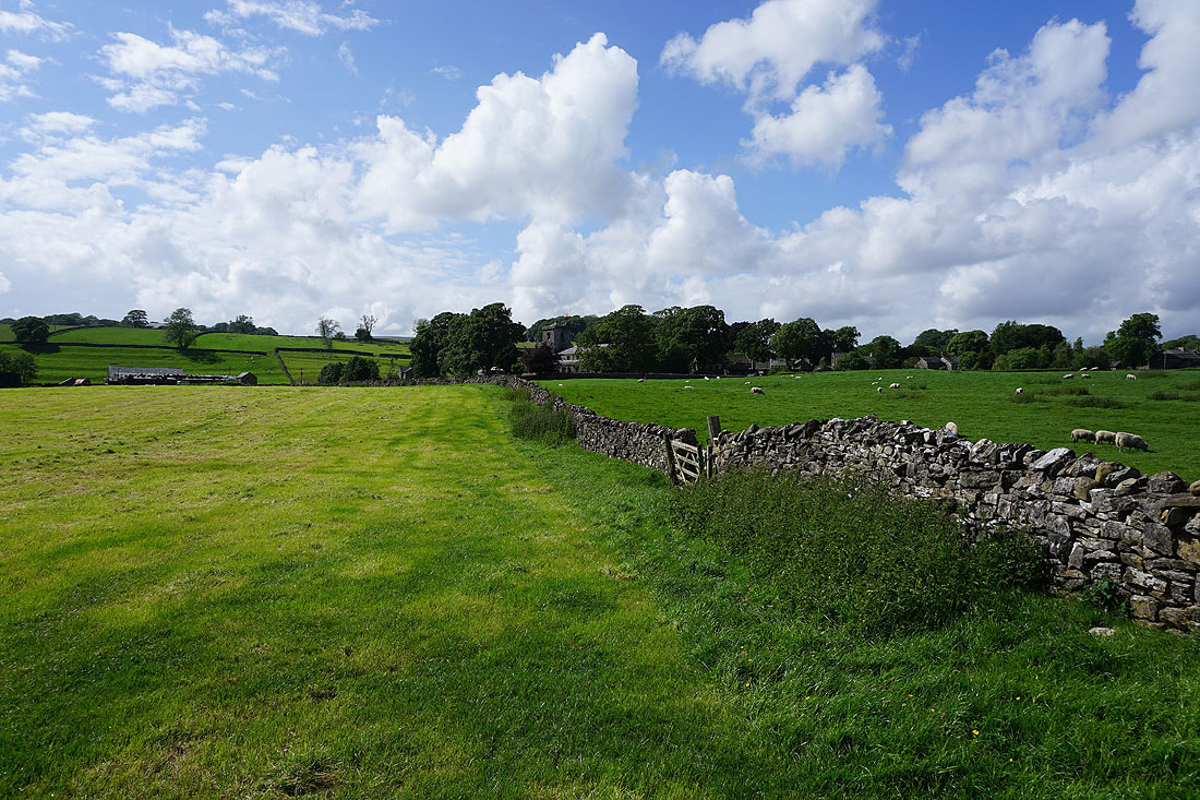
Following the path by the River Hodder back to Slaidburn......