11th March 2012 - Helvellyn
Walk Details
Distance walked: 8.0 miles
Total ascent: 3738 ft
OS map used: OL5 - The English Lakes, North-eastern area
Time taken: 7 hrs (includes an hour spent on Helvellyn, waiting to see if the cloud would clear before I had to move on)
Route description: Stanah-Sticks Pass-Stybarrow Dodd-Sticks Pass-Raise-Whiteside-Helvellyn Lower Man-Helvellyn-Helvellyn Lower Man-Browncove Crags-White Stones route-Stanah
A great walk in the eastern fells. There was a temperature inversion forecast (this is where the tops of the hills are above a layer of cloud) that wasn't quite as I expected but the low cloud coming and going and swirling around made for some dramatic views.
From the hamlet of Stanah I climbed up to the top of the Sticks Pass. I did a quick there and back to Stybarrow Dodd before walking along the ridge over Raise, Whiteside and Helvellyn Lower Man to arrive on Helvellyn. I paid another visit to Lower Man on the way back (this was where the best views were), before heading down over Browncove Crags and following the "White Stones" route back to Stanah.
Route map
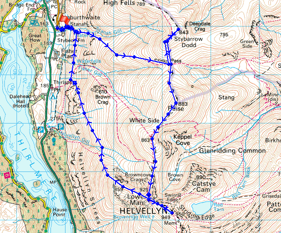
© Crown copyright. All rights reserved. License number PU 100034184.
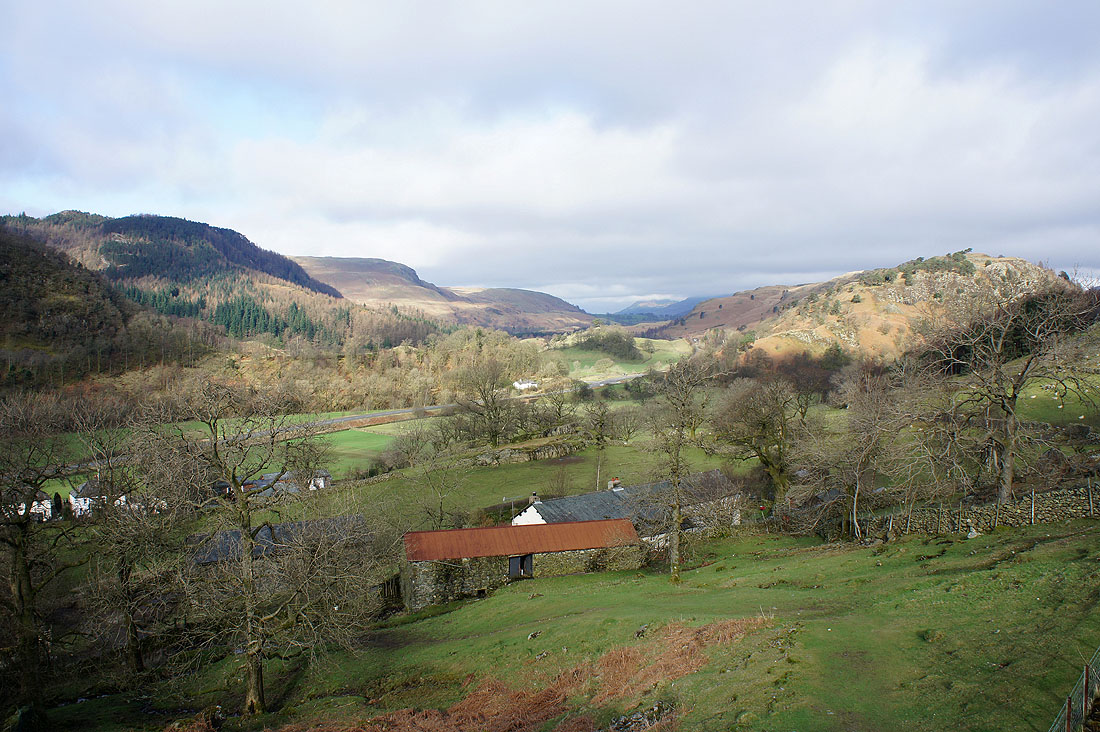
The view from above the hamlet of Stanah
Stanah Gill
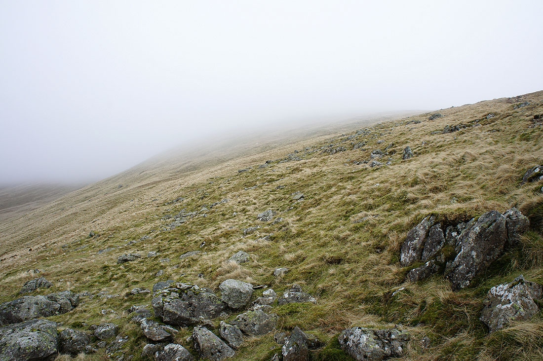
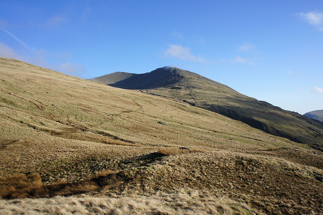
On the path to Sticks Pass and the view opens out to show High Rigg with cloud sitting low on Skiddaw behind
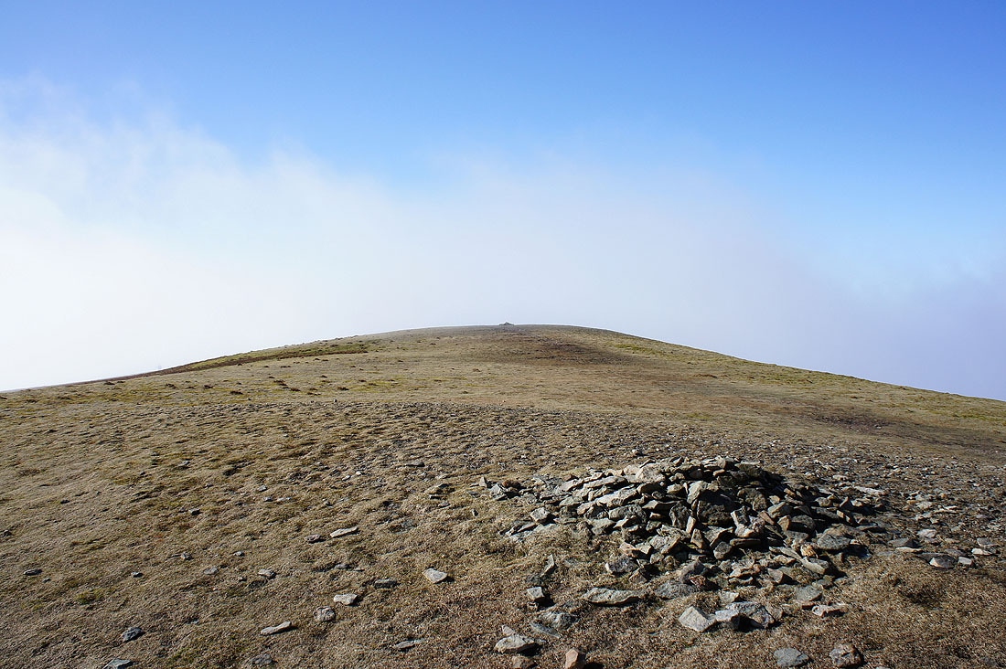
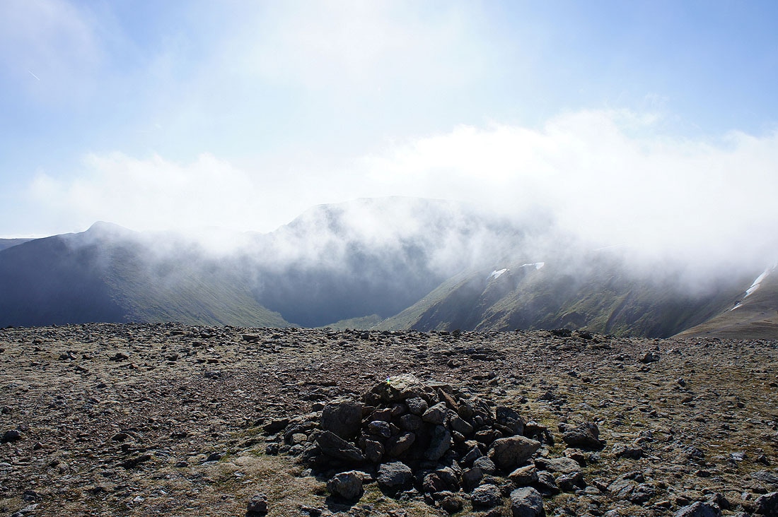
The moment of truth as I head up into the cloud
At the top of the cloud on Stybarrow Dodd
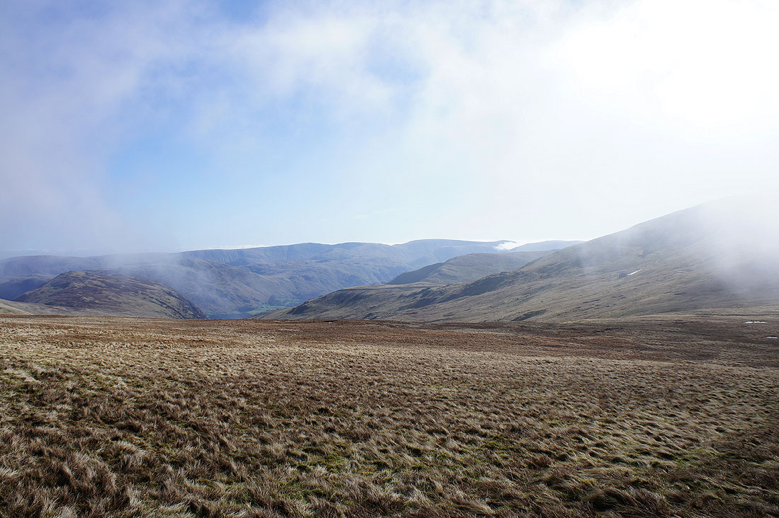
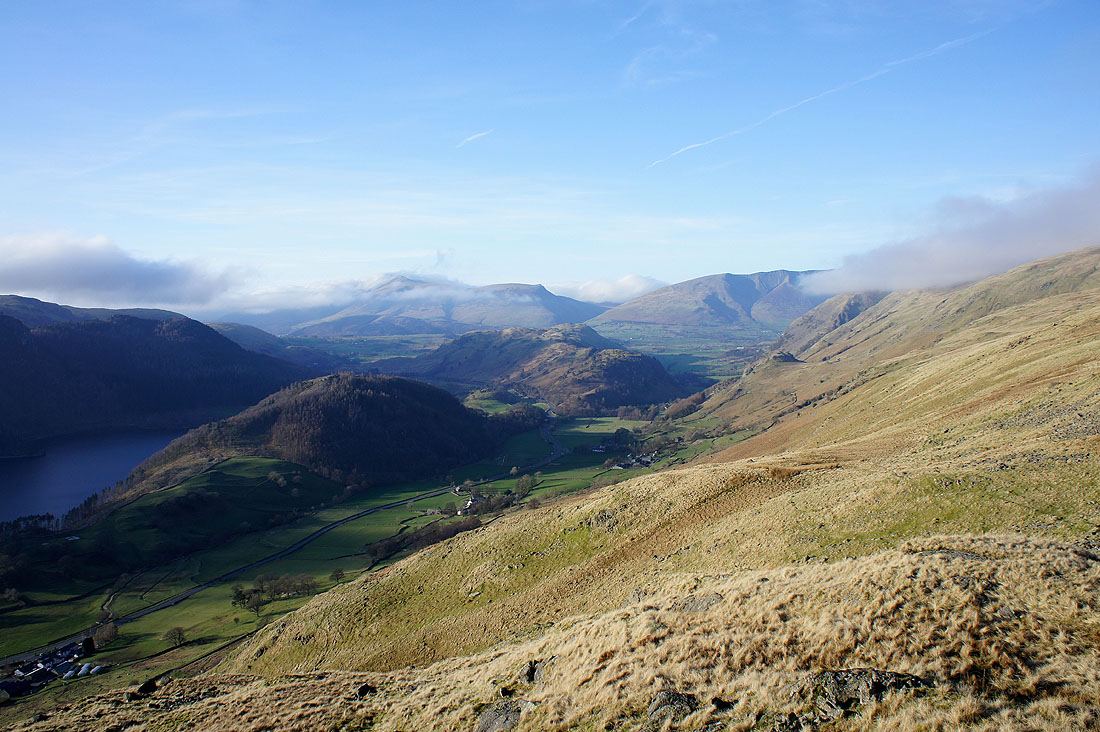
As I head back to the Sticks Pass the clouds part to show me High Street and the fells around Patterdale
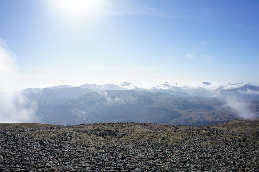
On the summit of Raise and things are changing. In the space of about 5 minutes the clouds disappeared from the top and I had distant views to enjoy.
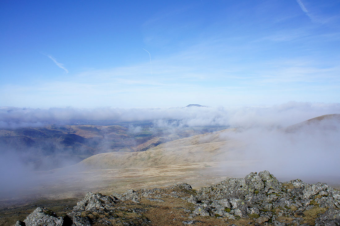
The top of Skiddaw above the cloud
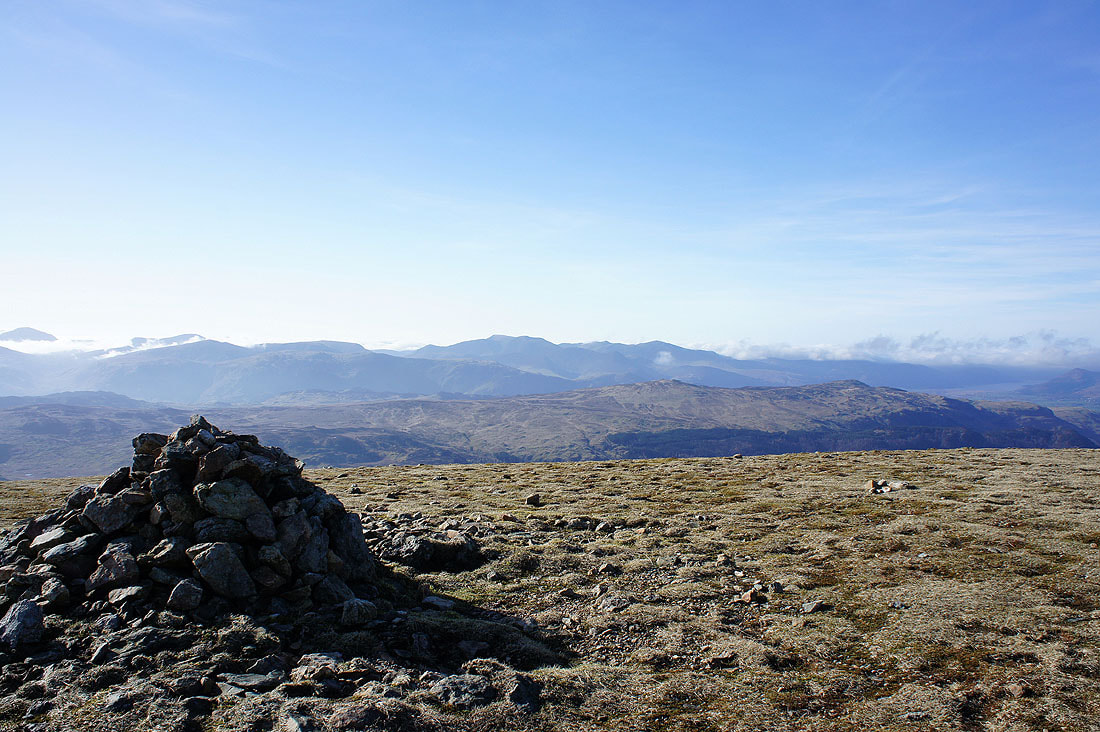
Skiddaw and Stybarrow Dodd
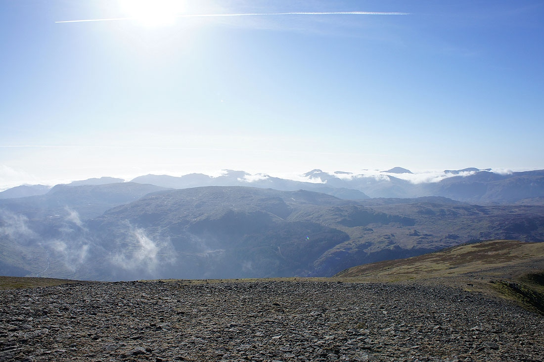
Bowfell, Scafell Pike, Great Gable and Pillar in the distance
Helvellyn ahead
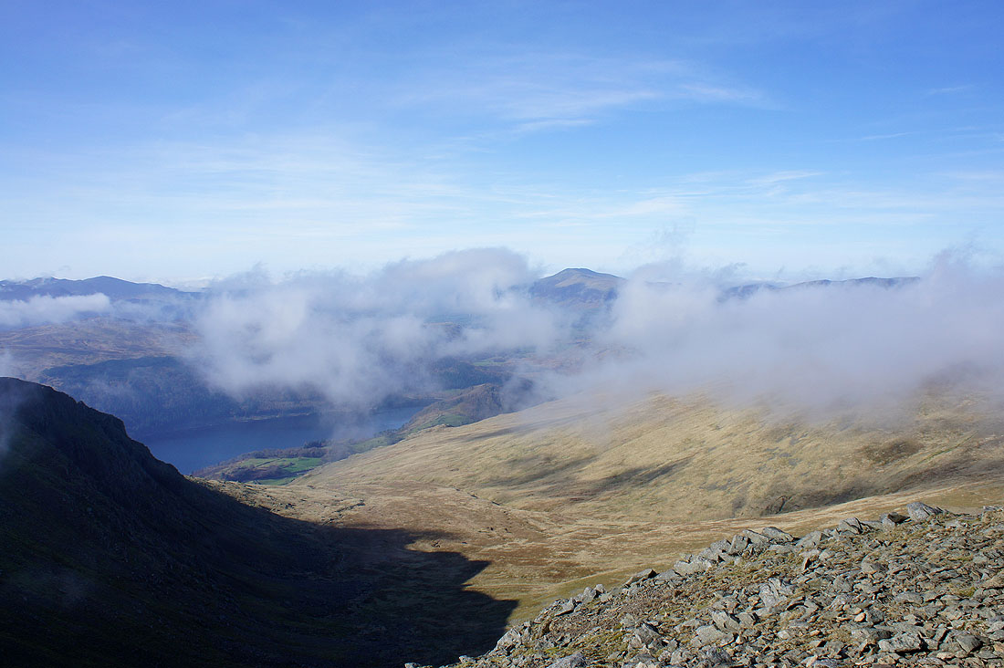
Looking to Ullswater and beyond
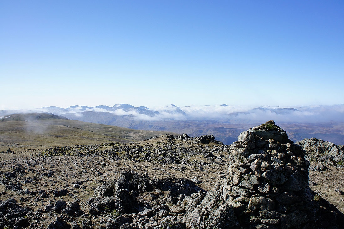
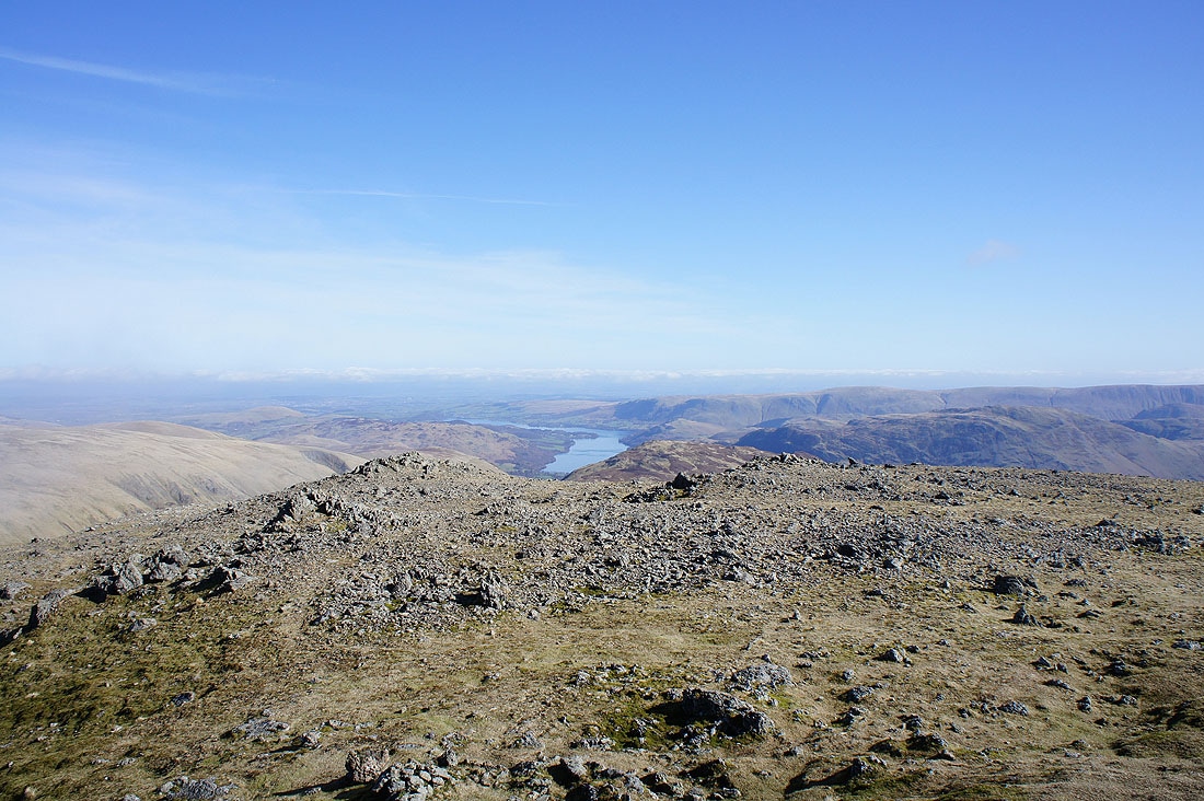
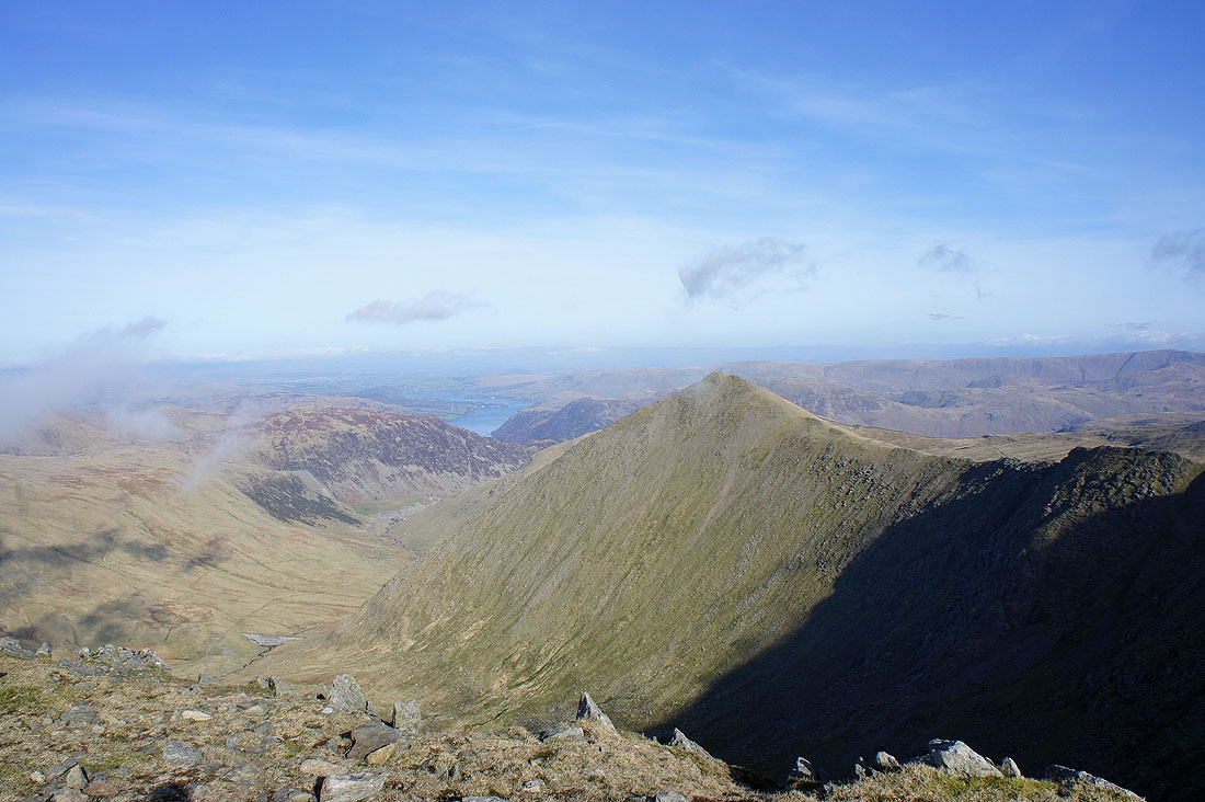
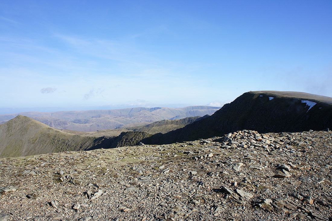
High Street and the far eastern fells
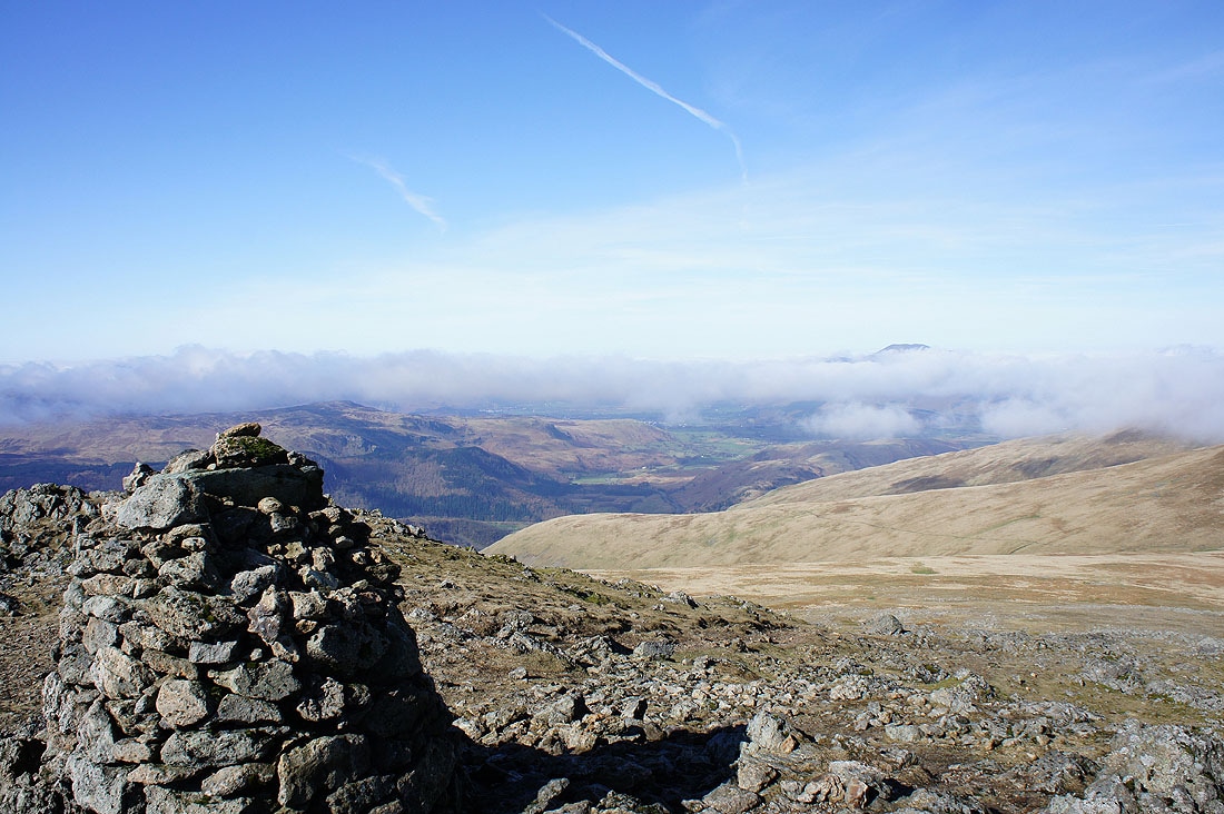
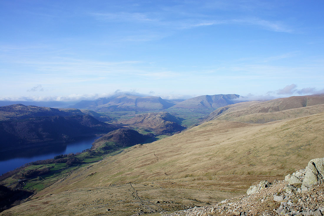
The Vale of Keswick can be seen below the cloud
A short distance from the summit and you can look down into Glenridding
I've set off for Whiteside and the cloud has started to reform
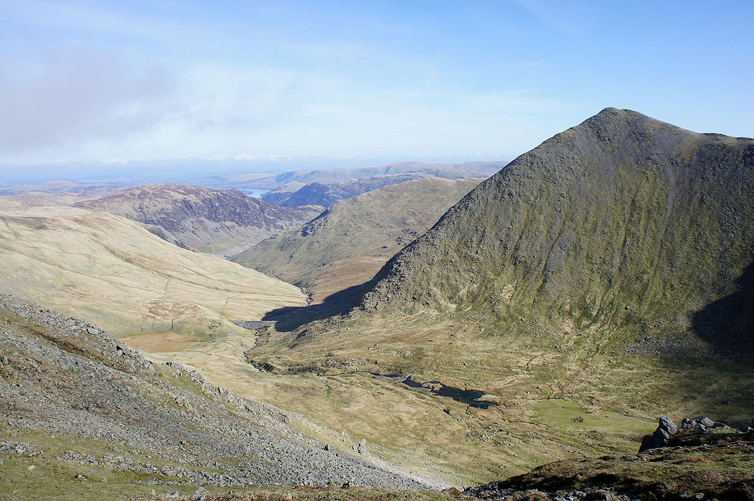
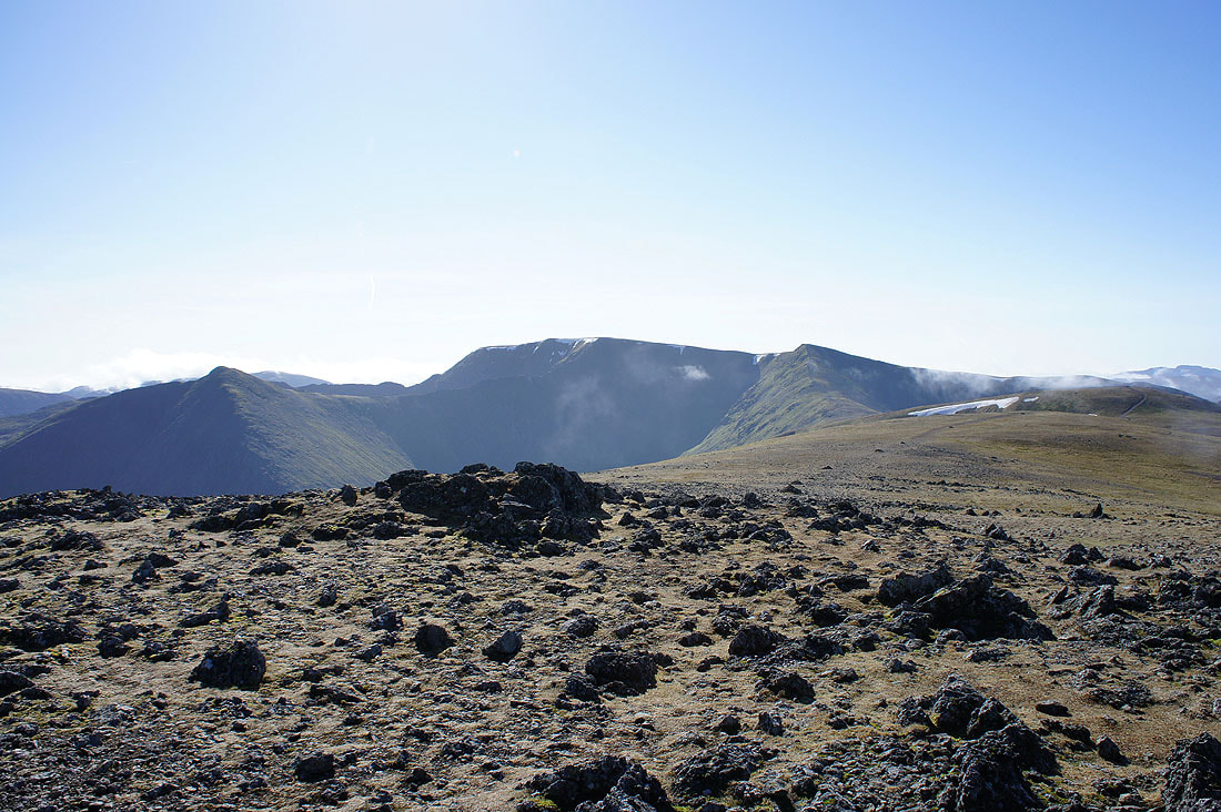
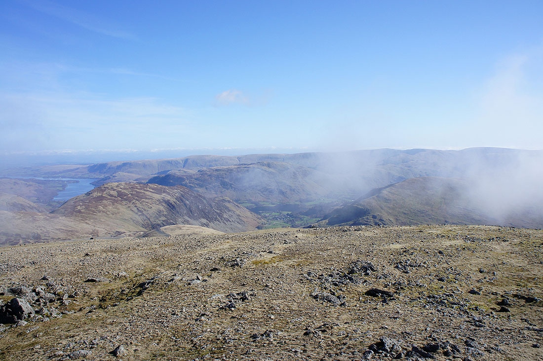
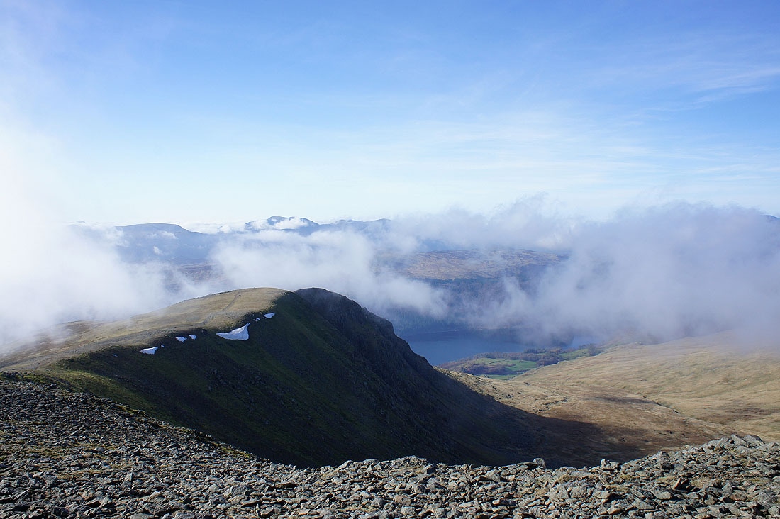
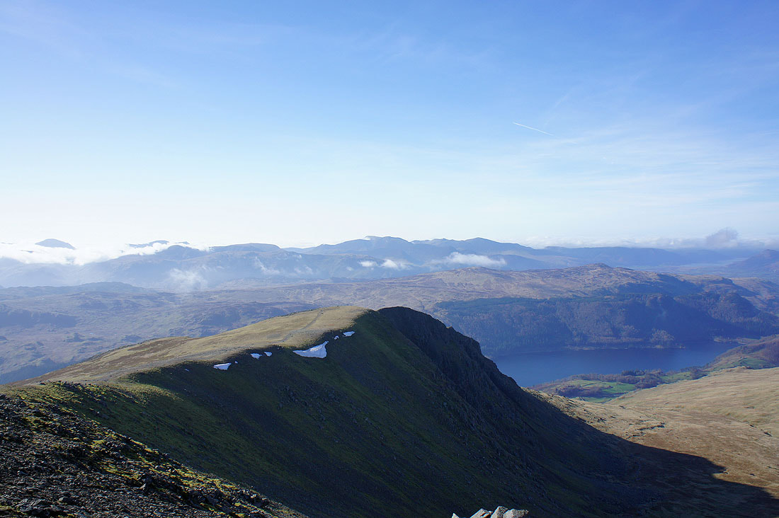
Brown Cove and Catstye Cam from between Whiteside and Lower Man
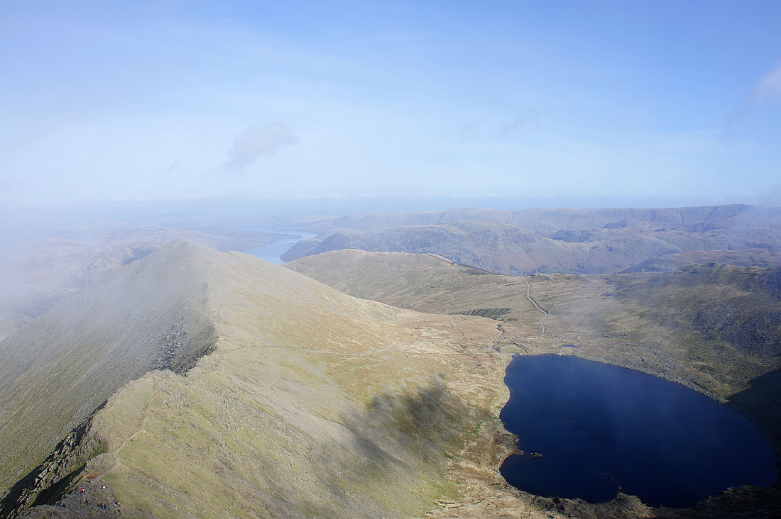
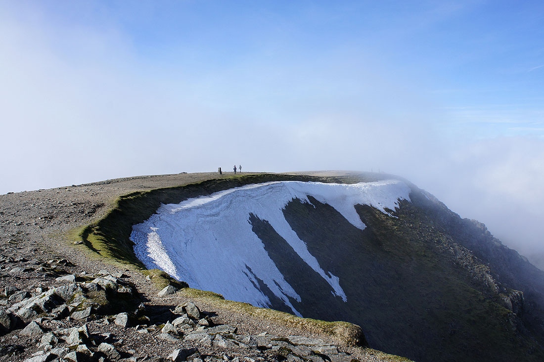
Catstye Cam and Red Tarn from the summit of Helvellyn. The cloud was flowing across the top and down towards Red Tarn and every now and then there would be a break that would let me take a picture.
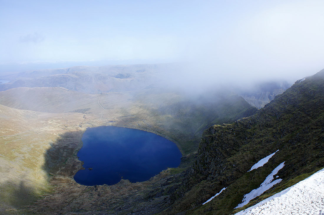
Red Tarn and a glimpse of Striding Edge
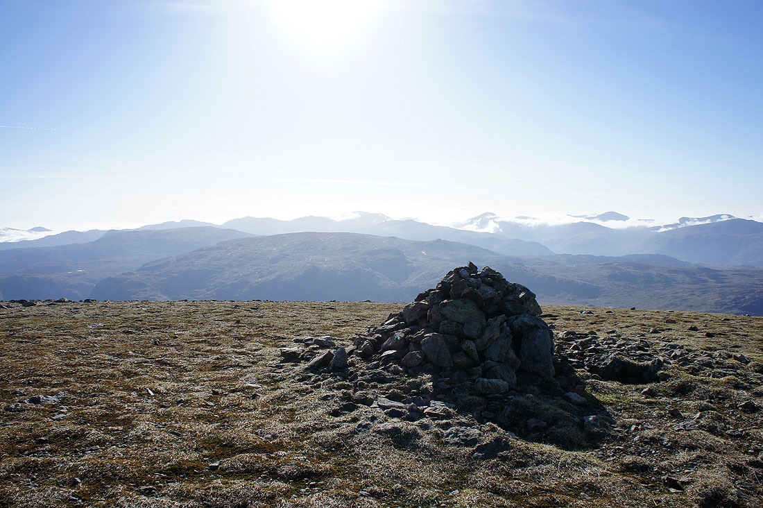
Helvellyn
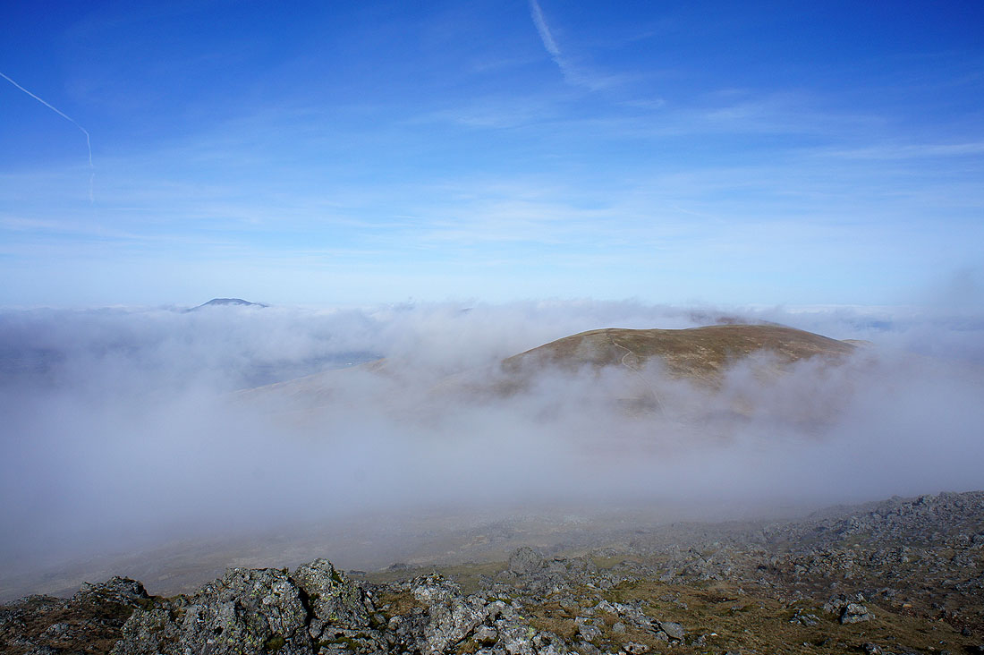
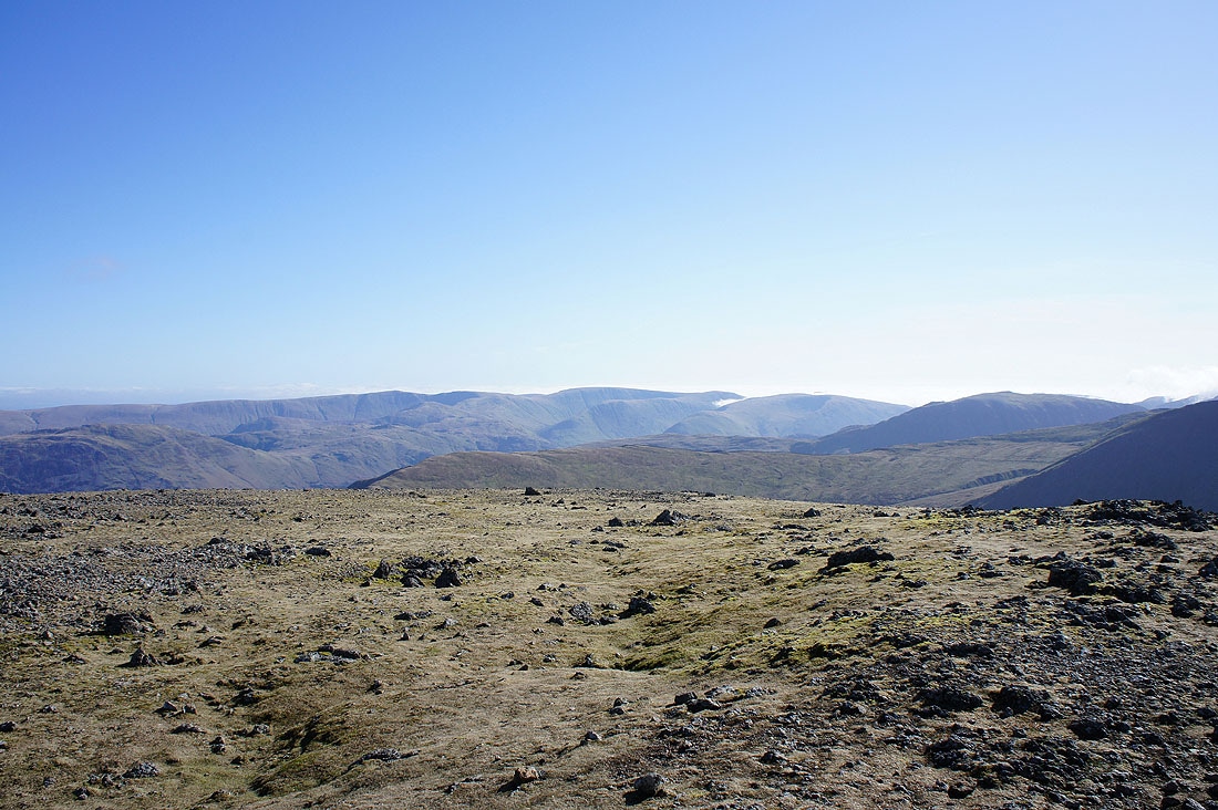
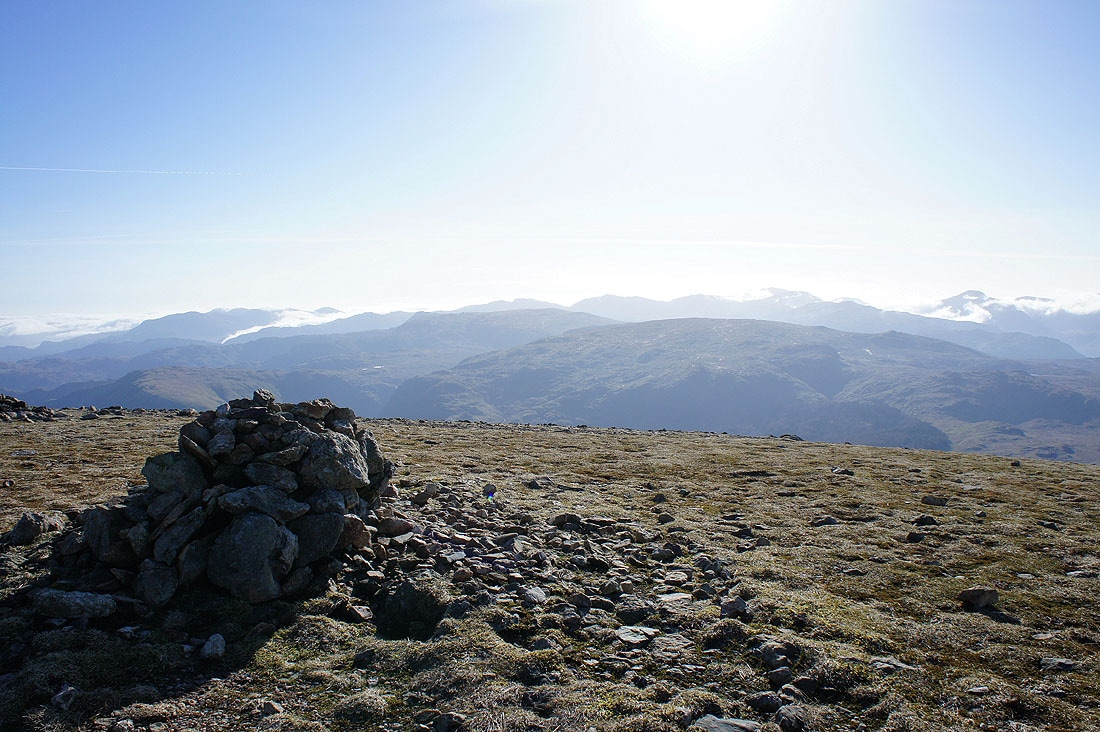
Whiteside and Raise
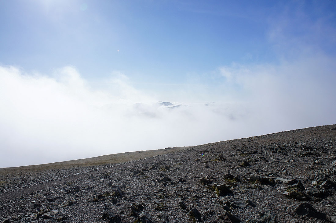
Tantalising glimpses
Helvellyn summit and a view across to the far eastern fells
Back on Lower Man and the cloud is starting to clear again. A lot of the following pictures are of the same views but over the space of just 15 minutes, which shows just how quickly the weather can change up here.
Skiddaw through a gap in the clouds
Catstye Cam
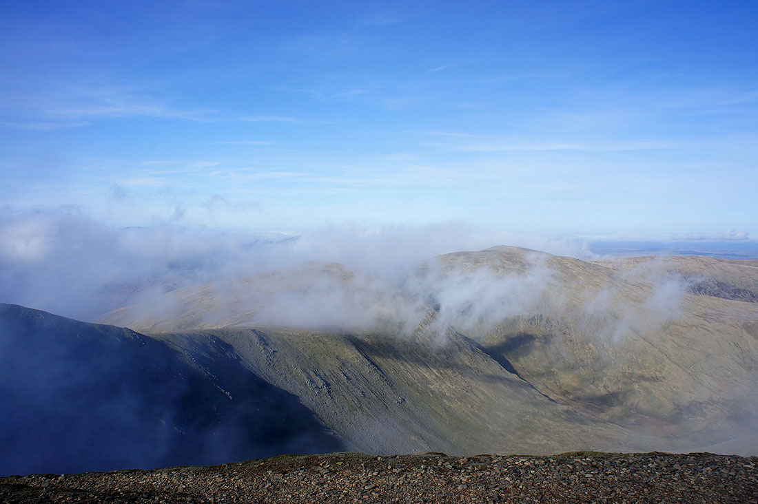
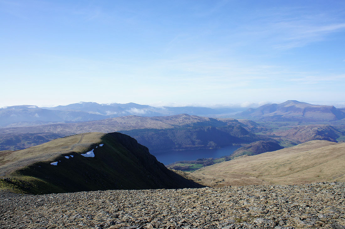
Grasmoor and Grisedale Pike in the clear behind Browncove Crags
Cloud is pouring across the fells to the west
Just five minutes later and the cloud has largely cleared to the northwest
Catstye Cam, Swirral Edge and now the top of Helvellyn is clear
Skiddaw, Blencathra and just a bit of cloud left on the Dodds
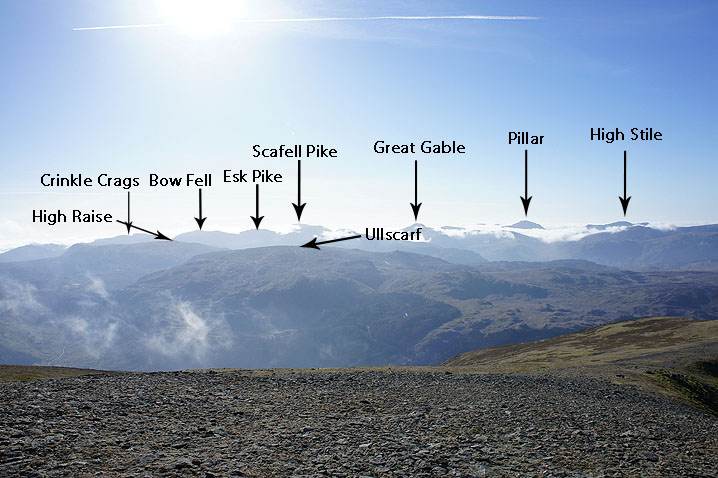
An annotated view
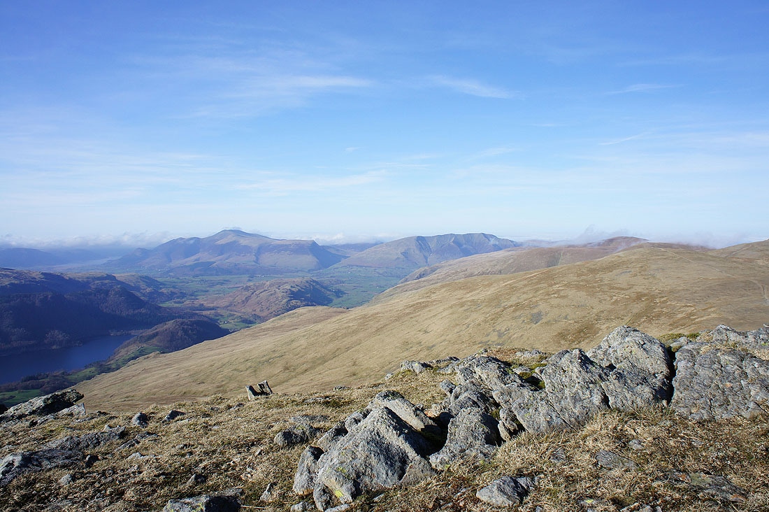
The northwestern fells, High Seat, Bleaberry Fell, Thirlmere and Skiddaw
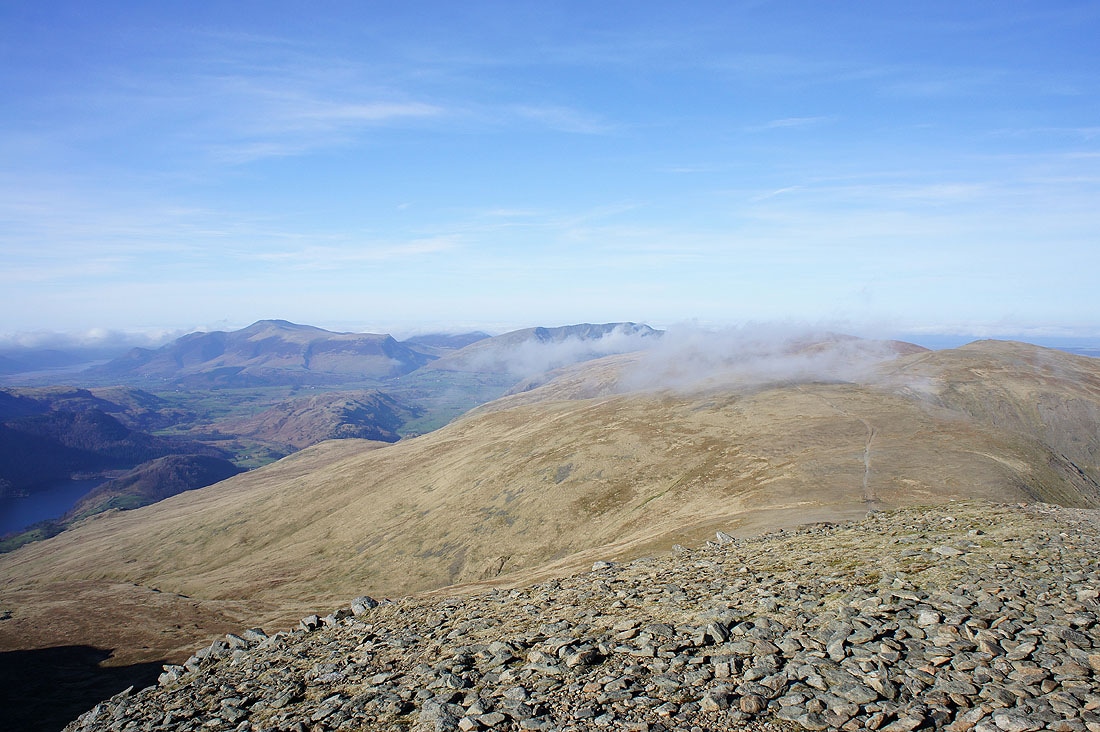
Skiddaw and Blencathra as I finally head for Browncove Crags
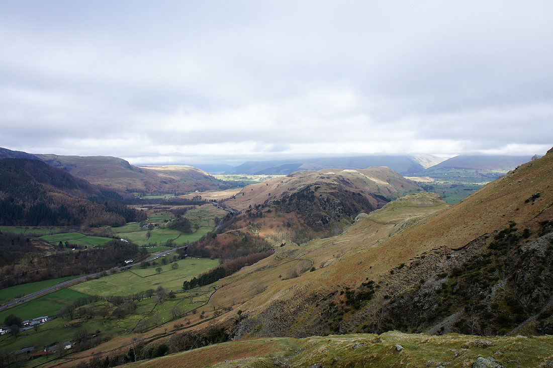
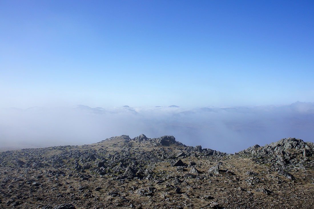
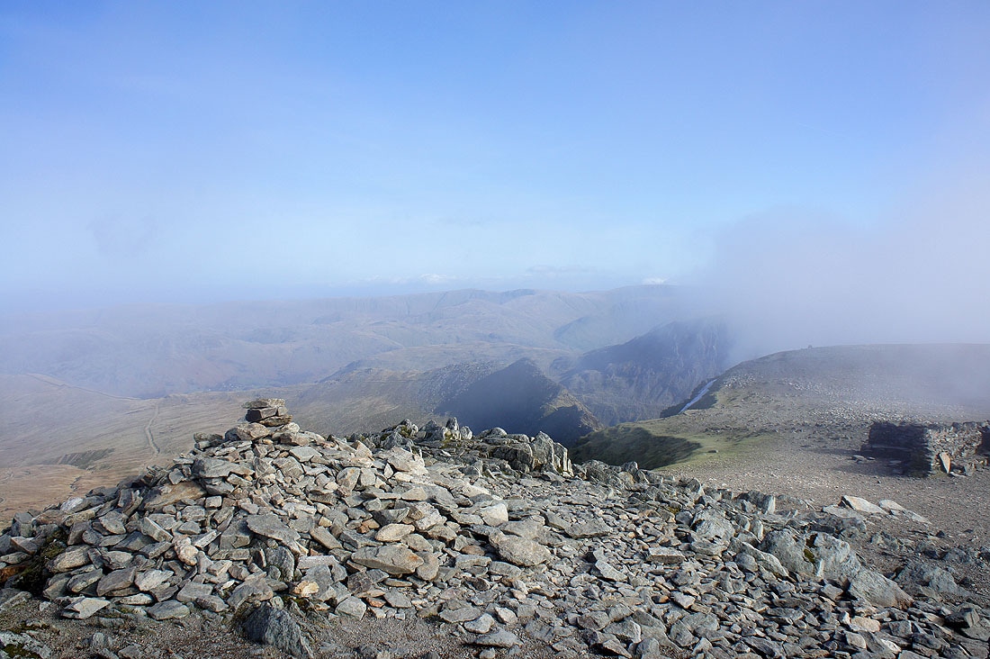
The view from Browncove Crags...
On the descent from Browncove Crags and the path running across the side of the fell is the route back to Stanah. The top of Skiddaw is now covered in cloud.
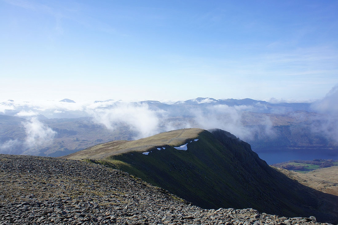
Lower Man and Browncove Crags
Great How and High Rigg below in the valley. The cloud is starting to cover the tops again.
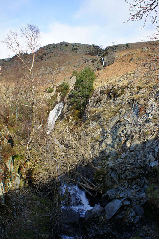
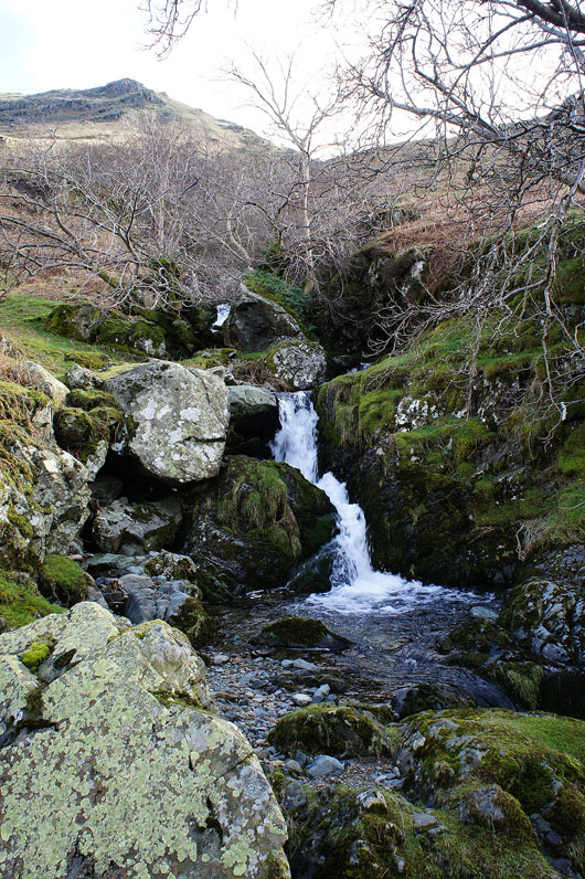
The waterfalls in Fisherplace Gill before the final descent into Stanah