11th November 2012 - Crummack Dale, Thwaite & Norber
Walk Details
Distance walked: 9.6 miles
Total ascent: 1300 ft
OS map used: Yorkshire Dales, Southern & Western areas
Time taken: 6 hrs
Route description: Clapham-Thwaite Lane-Crummack Lane-Moughton Scars-Thieves Moss-Sulber Gate-Long Scar-Thwaite-Norber-Thwaite Lane-Clapham
I almost changed my mind on the way to Clapham for this walk. I've not been up Ingleborough so far this year and I briefly contemplated doing the ascent today but in the end I was glad that I stuck to my original plan. The top of Ingleborough was shrouded in cloud at the time of day that I would have been up there.
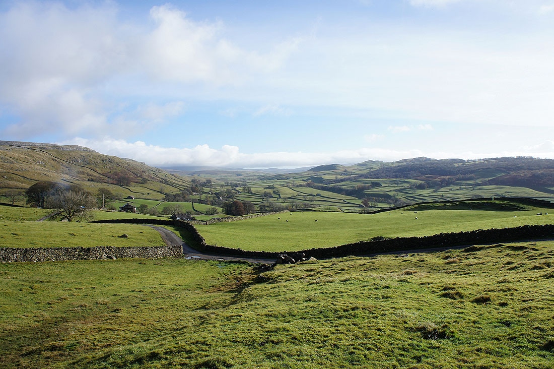
From Clapham I set off for Crummack Dale along the green way of Thwaite Lane. I made my way through Crummack Dale and exited the head of the valley at Moughton Scars. Moughton Scars was crossed to reach Sulber Gate where I then made for the limestone plateau of Thwaite. After visiting Thwaite I paid a visit to the boulder field of Norber before heading back to Clapham along Thwaite Lane.
Total ascent: 1300 ft
OS map used: Yorkshire Dales, Southern & Western areas
Time taken: 6 hrs
Route description: Clapham-Thwaite Lane-Crummack Lane-Moughton Scars-Thieves Moss-Sulber Gate-Long Scar-Thwaite-Norber-Thwaite Lane-Clapham
I almost changed my mind on the way to Clapham for this walk. I've not been up Ingleborough so far this year and I briefly contemplated doing the ascent today but in the end I was glad that I stuck to my original plan. The top of Ingleborough was shrouded in cloud at the time of day that I would have been up there.
From Clapham I set off for Crummack Dale along the green way of Thwaite Lane. I made my way through Crummack Dale and exited the head of the valley at Moughton Scars. Moughton Scars was crossed to reach Sulber Gate where I then made for the limestone plateau of Thwaite. After visiting Thwaite I paid a visit to the boulder field of Norber before heading back to Clapham along Thwaite Lane.
Route map
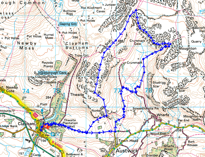
© Crown copyright. All rights reserved. License number PU 100034184.
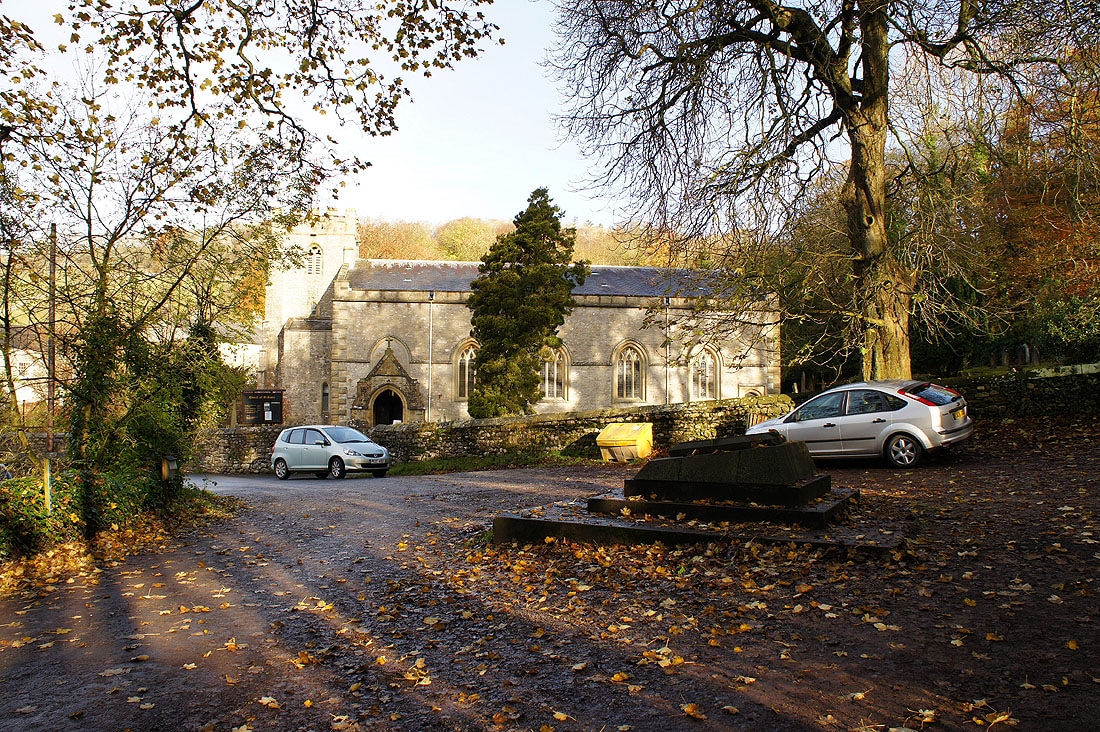
The church of St. James, Clapham
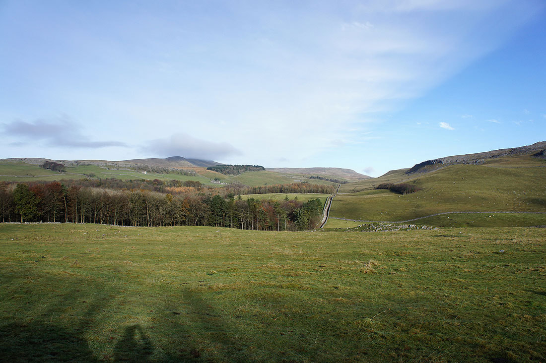
I've left Clapham by the track of Thwaite Lane to head for Crummack Dale. Ingleborough has its head in cloud on the left.
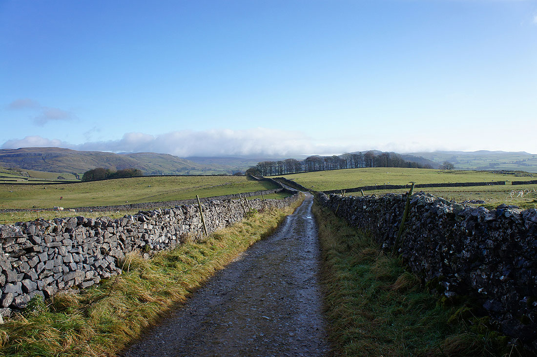
On Thwaite Lane
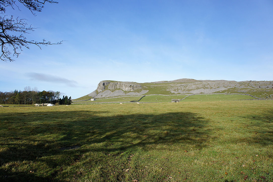
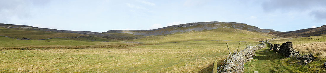
Robin Proctor's Scar and Nappa Scars. My route back will be by the wall that runs along the base of the scars.
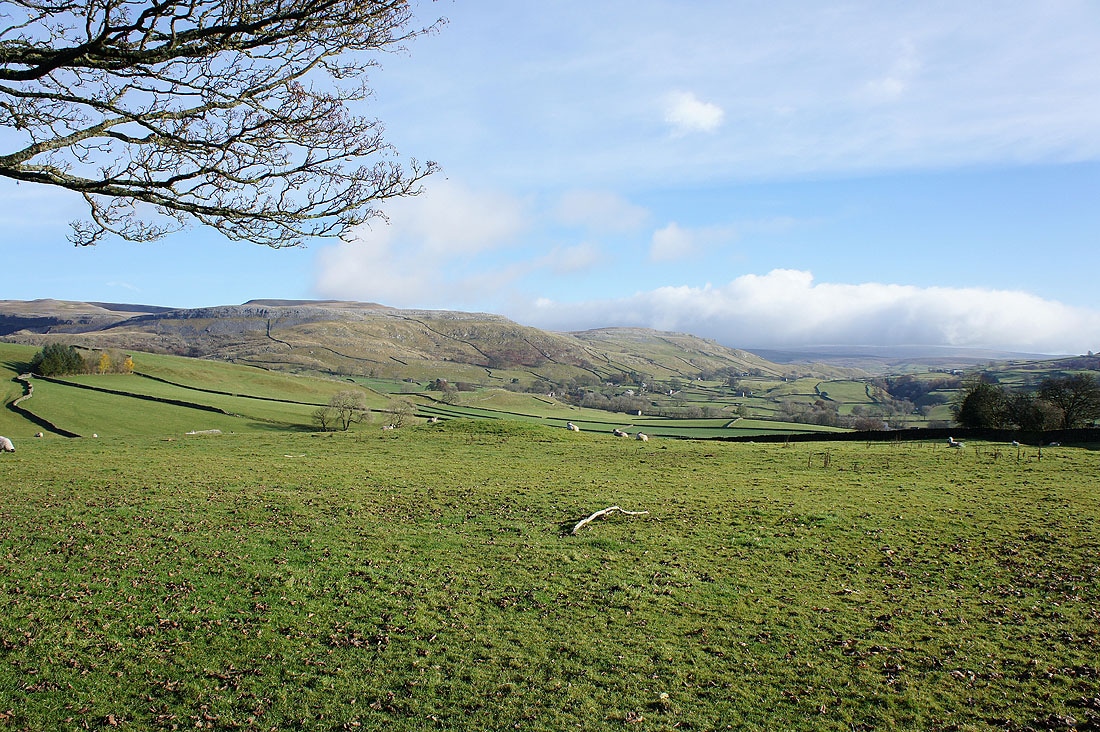
At the junction of Thwaite Lane and Crummack Lane looking across to the hamlet of Wharfe and Moughton Scar
Norber Sike from Crummack Lane
Studrigg Scar
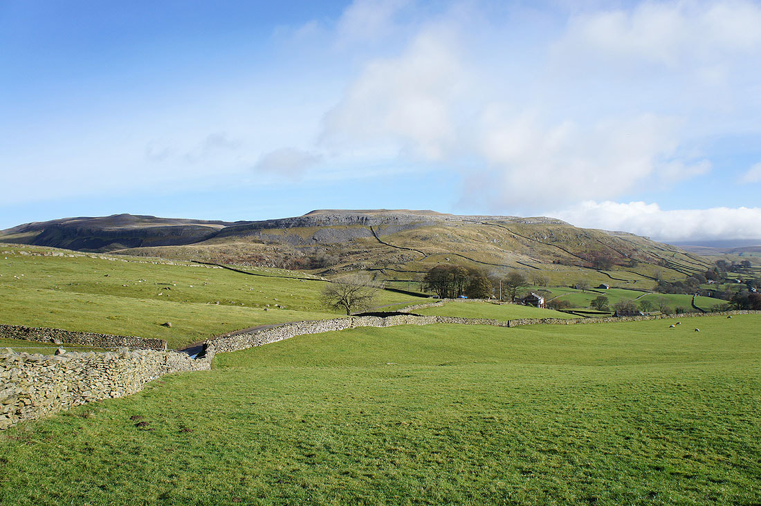
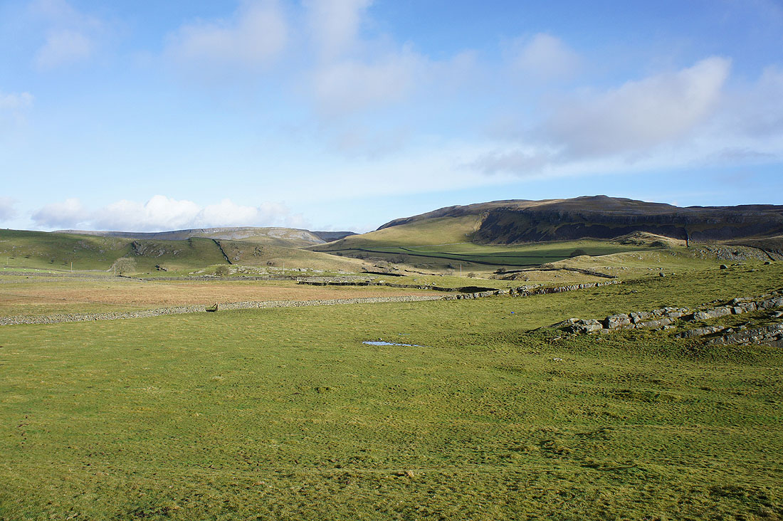
The valley between Moughton Scar and Smearsett Scar to Pot Scar
In Crummack Dale
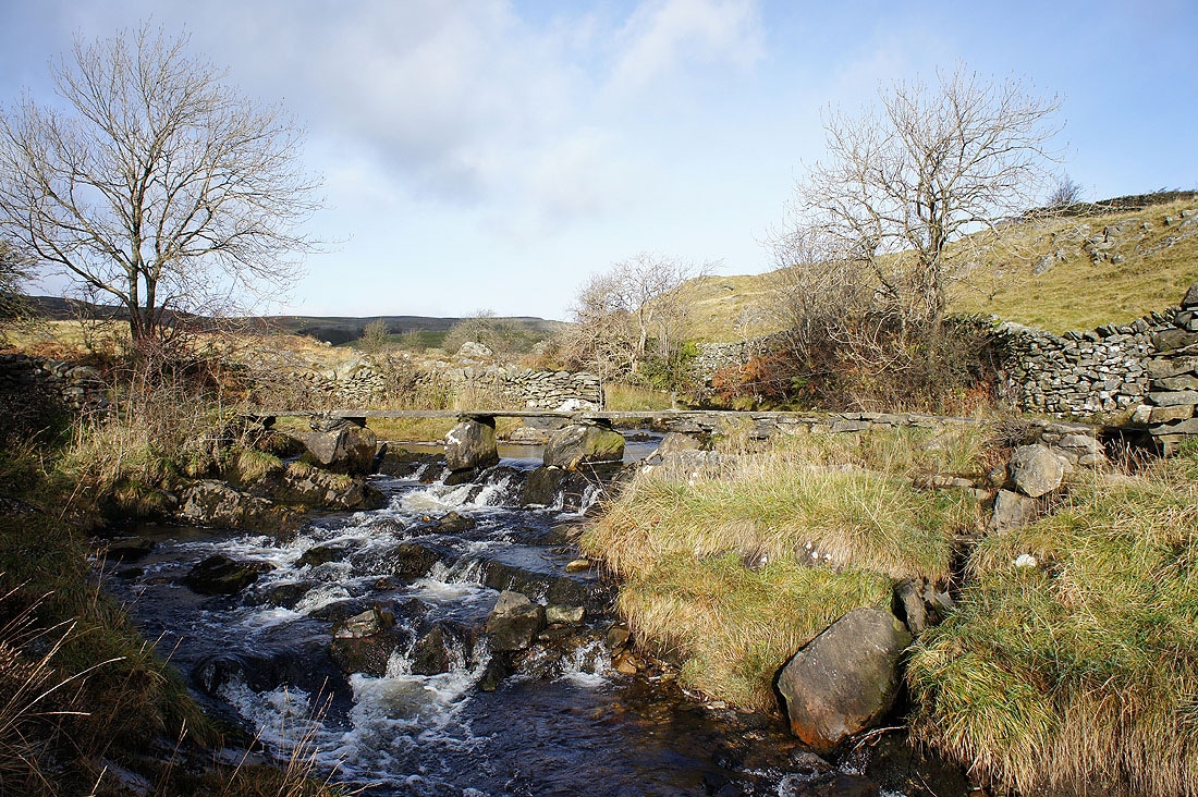
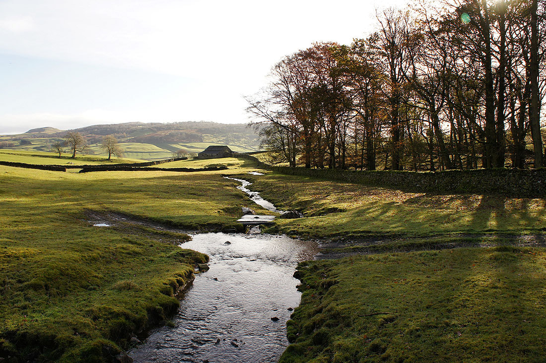
Across the footbridge over Austwick Beck
The path heads for the low point on the skyline where I'll then turn left and head along Moughton Scars
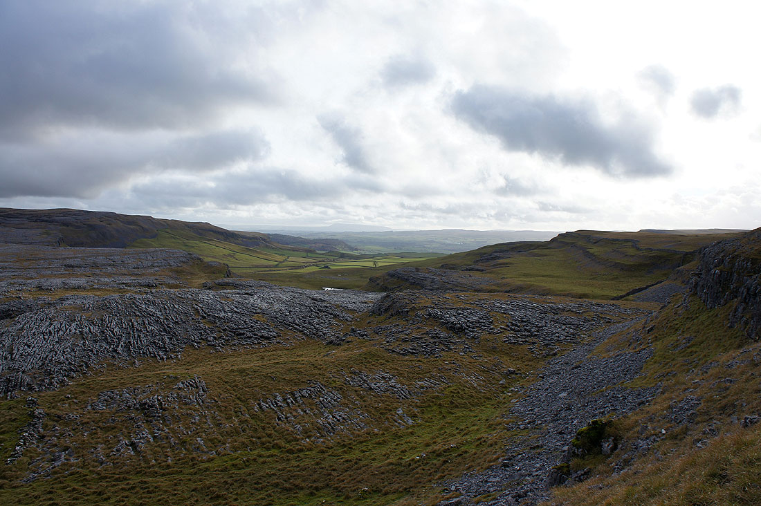
Moughton Scars
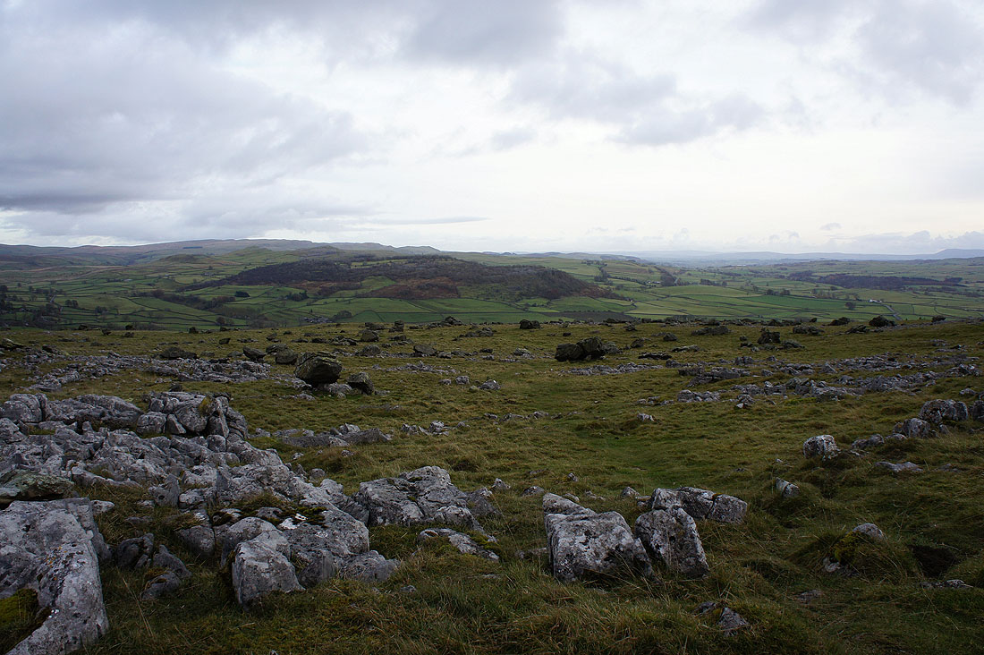
Crummack Dale below. This was a great spot to stop for a bite to eat and enjoy the views across the limestone pavement just behind me.
Ingleborough shrouded in cloud
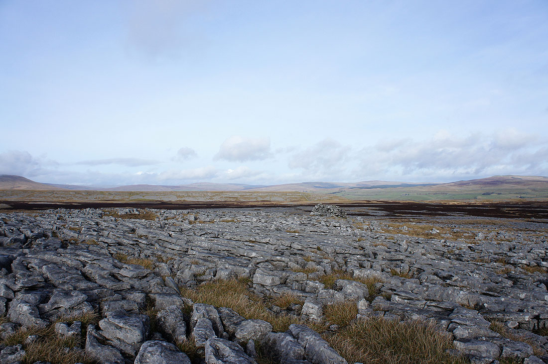
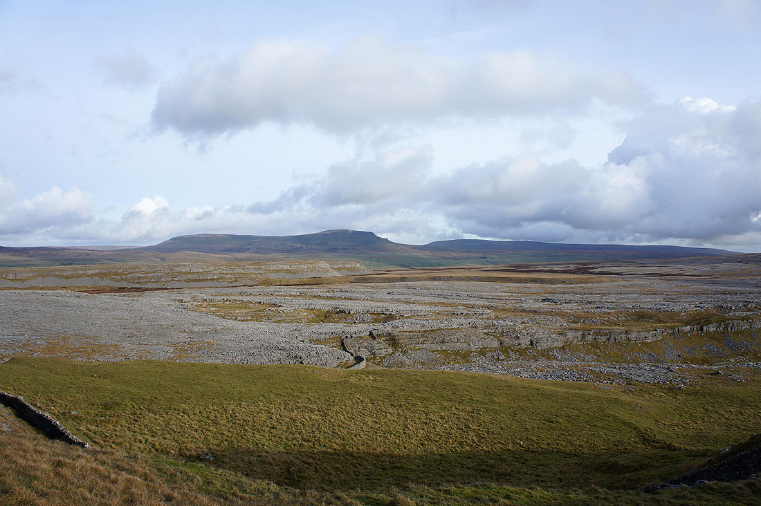
The limestone pavement of Sulber
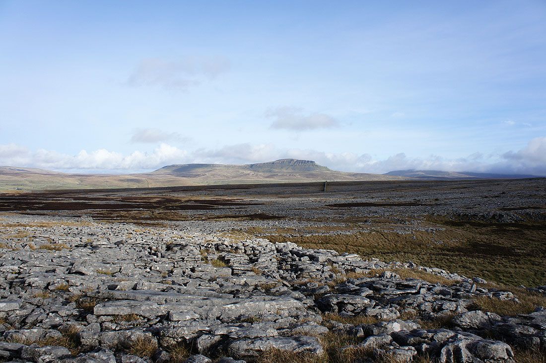
Penyghent..
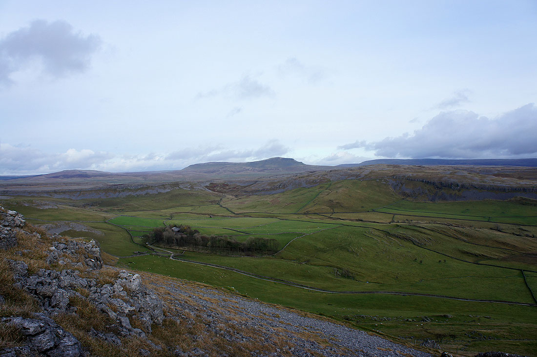
From Moughton Scars I crossed Thieves Moss to reach Sulber Gate and I'm now going to head for Thwaite with views of Crummack Dale to enjoy. Pendle Hill can be seen in the distance.
Penyghent seen across Thieves Moss
and across Moughton Scars
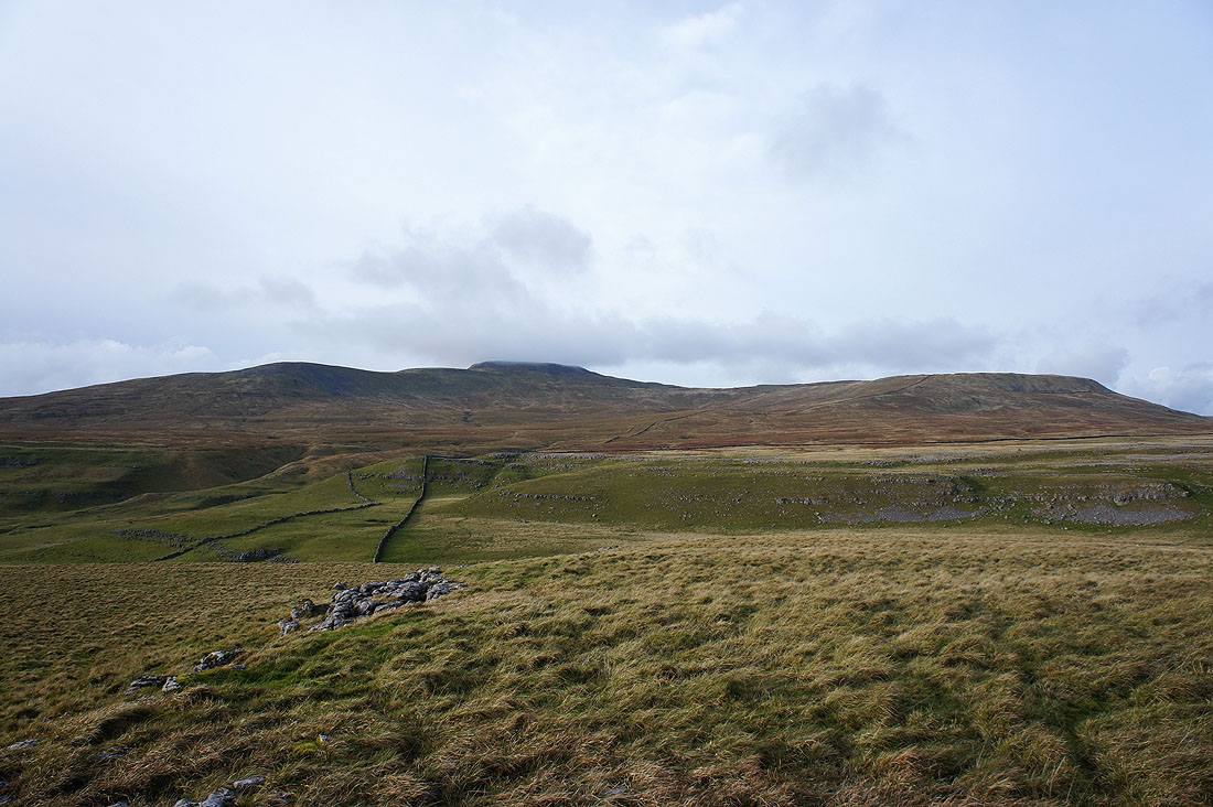
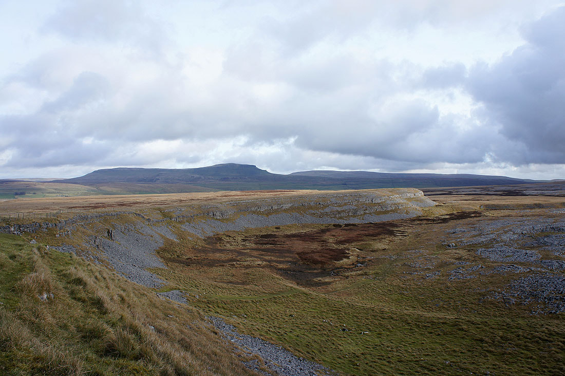
Ingleborough from Long Scar
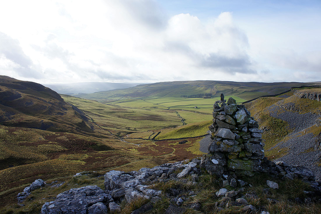
From Long Scar I made my way onto Thwaite and there are several cairns marking various high points. I paid a visit to a few of them especially those overlooking Crummack Dale. Penyghent beyond Moughton Scars and Crummack Dale.
Looking down Crummack Dale to a distant Pendle Hill
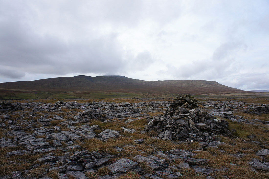
Ingleborough again. It's turning rather gloomy unfortunately as thickening cloud spreads across the sky.
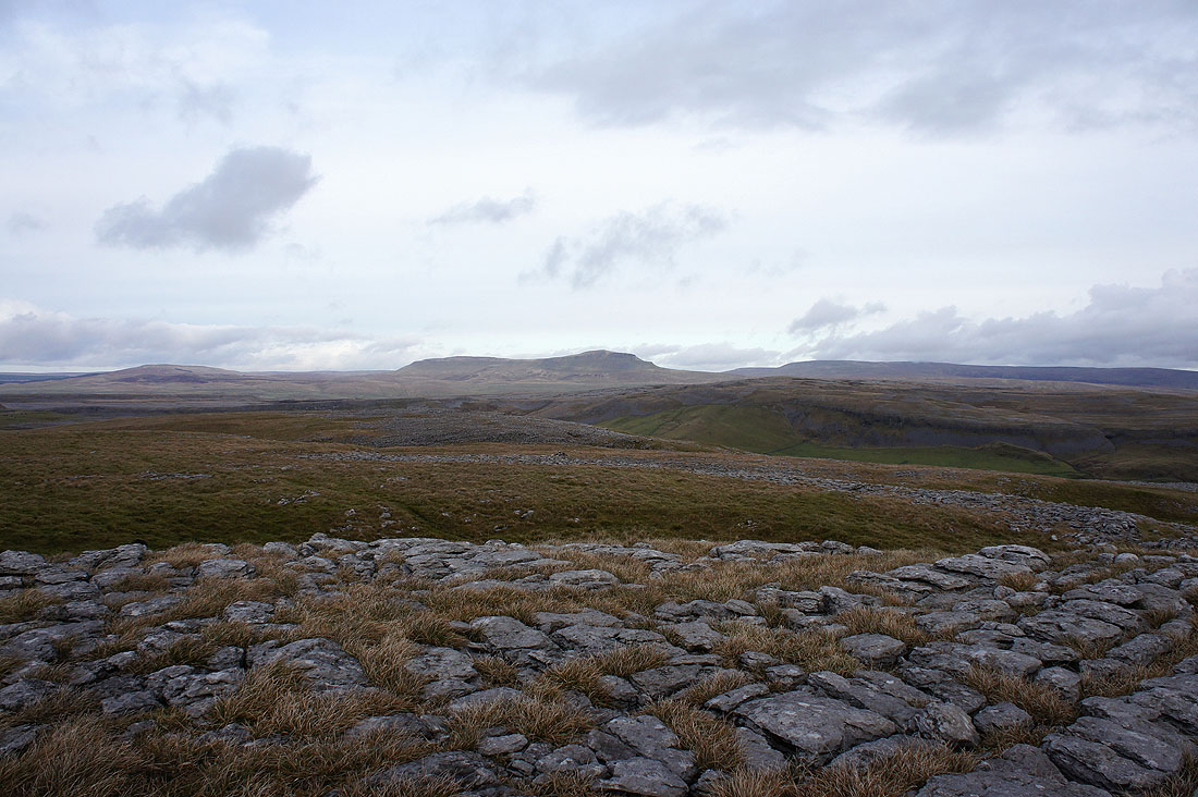
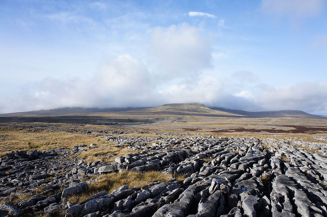
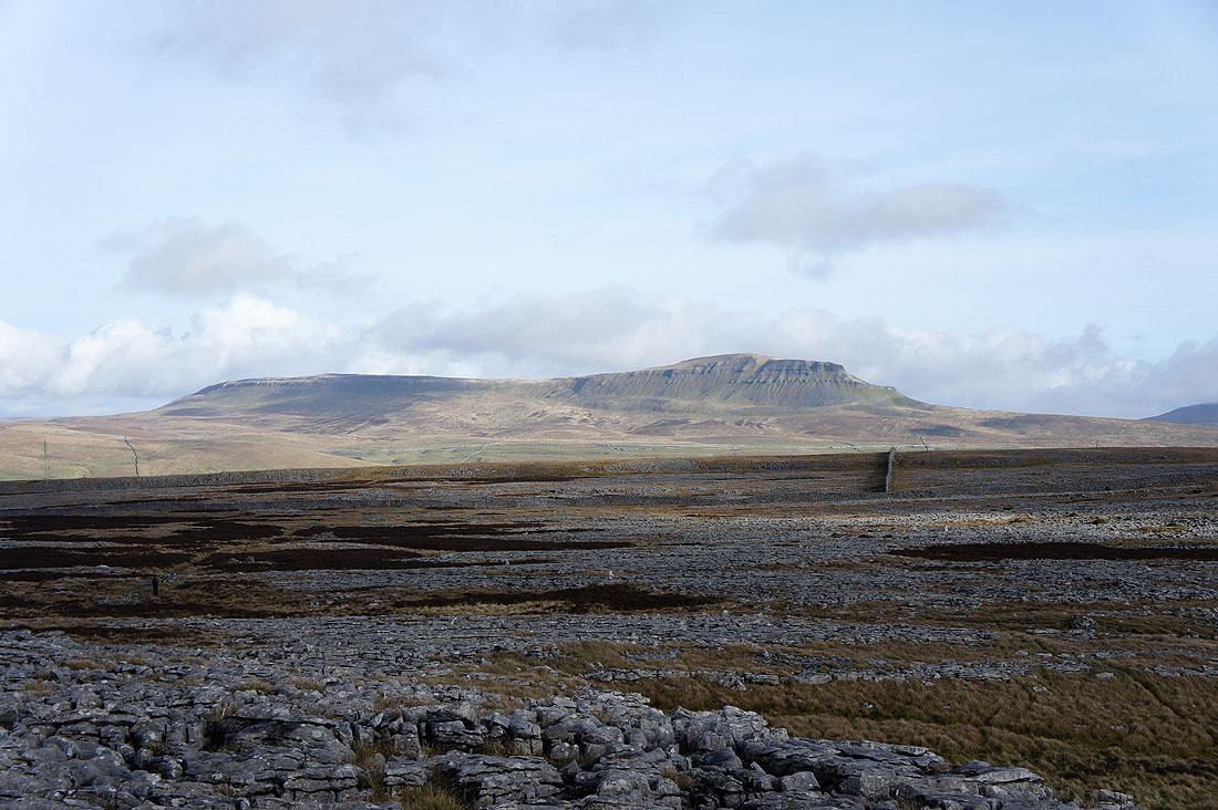
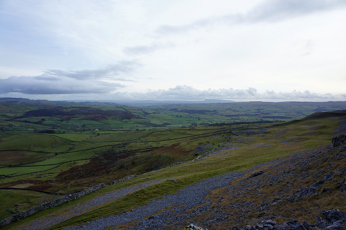
Penyghent with Fountains Fell to its right
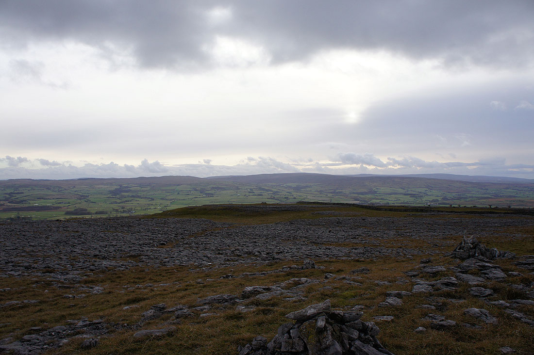
The Forest of Bowland
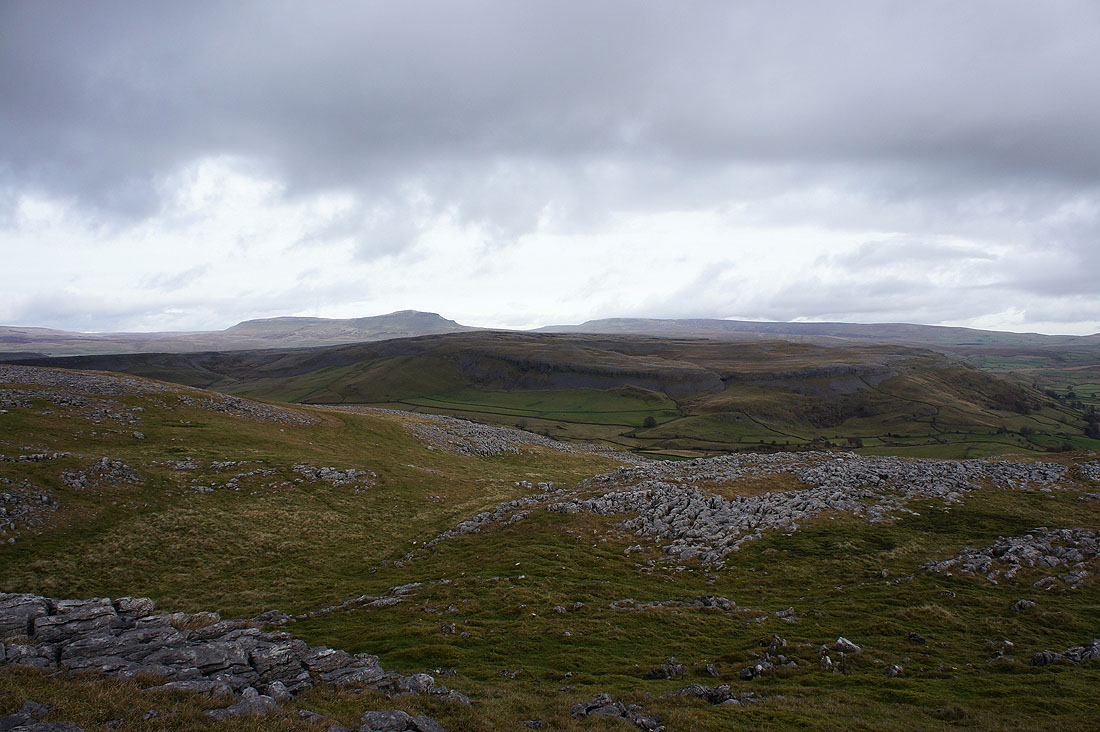
Penyghent and Fountains Fell behind the limestone plateau of Moughton
Entering the boulder field of Norber
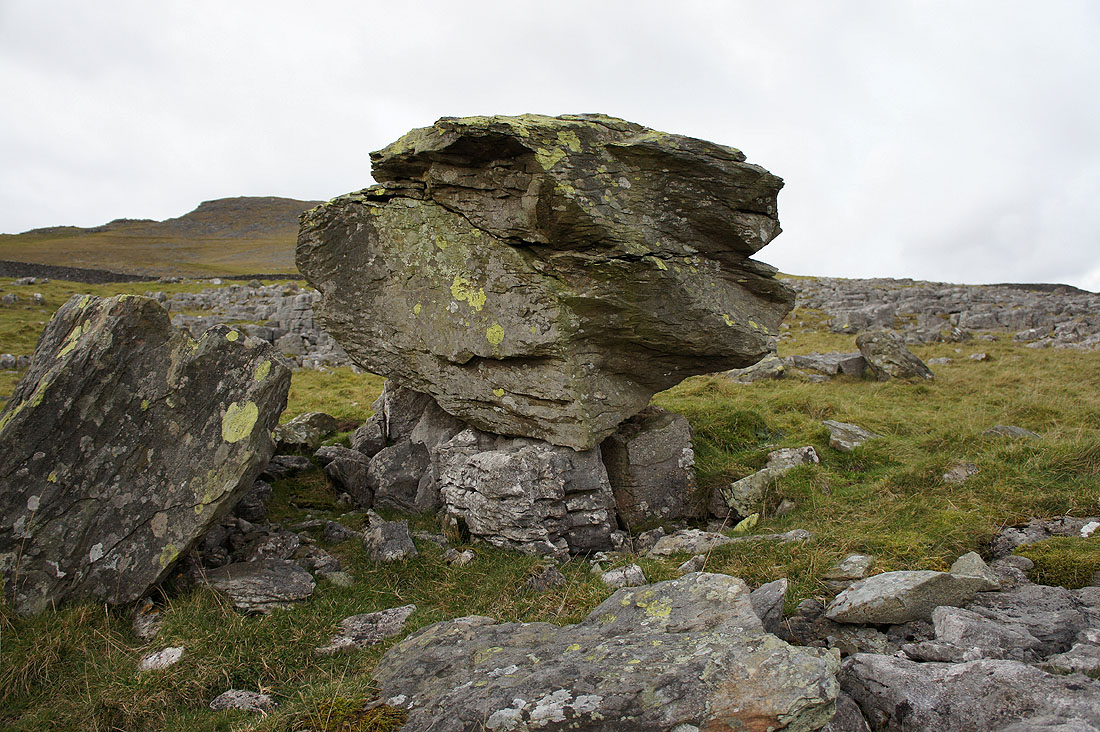
This was the best example I could find in the time I had. One of the Norber erratics perched on its limestone pedestal.
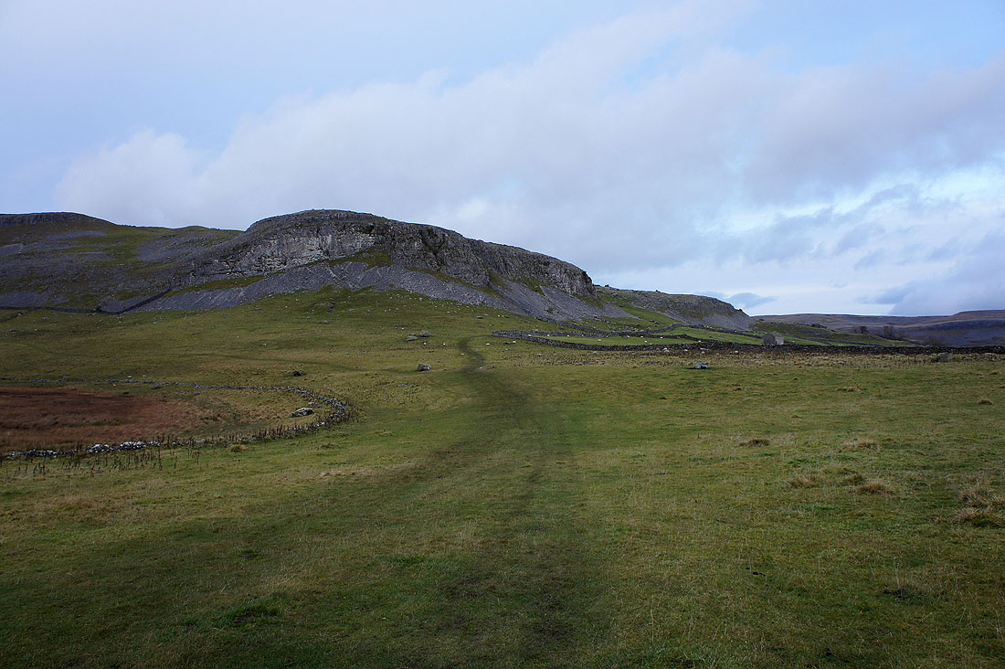
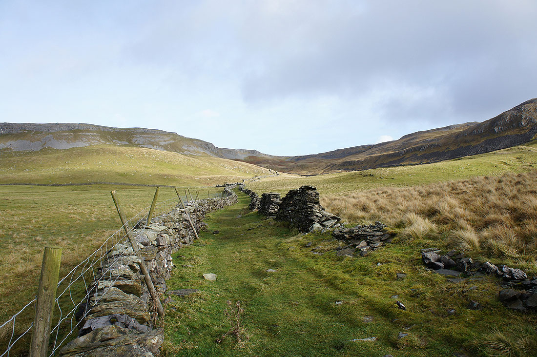
Looking back at Robin Proctor's Scar
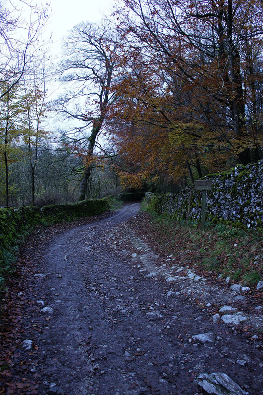
Back to Clapham on Thwaite Lane