11th November 2023 - Middleton Fell
Walk Details
Distance walked: 8.2 miles
Total ascent: 1988 ft
OS map used: OL2 - Yorkshire Dales, Southern & Western areas
Time taken: 6 hrs
Route description: Barbon-High Road-Sowermire Farm-Low Fellside-Mill House Cottages-Calf Top-Castle Knott-Eskholme Pike-Eskholme-Barbon
For my walk this weekend I decided to head to the western edge of the Yorkshire Dales and the village of Barbon, from where I'd do a route that would take me to Calf Top, the summit of Middleton Fell. It's a fell that I've been to the top of many times, and I couldn't go through the year without paying it a visit. This time I thought that I'd try a different route for getting onto the fell by walking north along High Road, and then using public footpaths to reach Mill House Cottages on the edge of access land. I'd convinced myself that I could get onto access land with no issues by going that way, but I ended up having to climb over a wall. There's definitely no way through via Mill House Cottages. Apart from that, I enjoyed a great day out on the hills on a cold and crisp autumn day, with lots of blue skies and sunshine, and great visibility for taking in the fantastic views from this part of the Yorkshire Dales.
After parking my car in Barbon I walked north along High Road until I reached a narrow lane on the right, which I walked up to reach Sowermire Farm. I then took a footpath along a track on the right under the bridge carrying the track bed of a dismantled railway and up to High Barn, then from there a footpath east up to Sowermire Wood, and then north through fields to Low Fellside, and across Millhouse Beck to Mill House Cottages. This was where I got onto access land, not through Mill House Cottages, but by crossing a wall. I won't be going this way again. Once on access land I followed a track up the western ridge of Calf Top to eventually reach the trig point, which marks the high point of Middleton Fell, where I stopped for lunch. After this break I made my way south to Castle Knott, and then down to Eskholme Pike, the edge of access land, and the footpath down to Eskholme. From Eskholme a footpath took me south through Barbon Park to the bridge over Barbon Beck, and back to Barbon.
Total ascent: 1988 ft
OS map used: OL2 - Yorkshire Dales, Southern & Western areas
Time taken: 6 hrs
Route description: Barbon-High Road-Sowermire Farm-Low Fellside-Mill House Cottages-Calf Top-Castle Knott-Eskholme Pike-Eskholme-Barbon
For my walk this weekend I decided to head to the western edge of the Yorkshire Dales and the village of Barbon, from where I'd do a route that would take me to Calf Top, the summit of Middleton Fell. It's a fell that I've been to the top of many times, and I couldn't go through the year without paying it a visit. This time I thought that I'd try a different route for getting onto the fell by walking north along High Road, and then using public footpaths to reach Mill House Cottages on the edge of access land. I'd convinced myself that I could get onto access land with no issues by going that way, but I ended up having to climb over a wall. There's definitely no way through via Mill House Cottages. Apart from that, I enjoyed a great day out on the hills on a cold and crisp autumn day, with lots of blue skies and sunshine, and great visibility for taking in the fantastic views from this part of the Yorkshire Dales.
After parking my car in Barbon I walked north along High Road until I reached a narrow lane on the right, which I walked up to reach Sowermire Farm. I then took a footpath along a track on the right under the bridge carrying the track bed of a dismantled railway and up to High Barn, then from there a footpath east up to Sowermire Wood, and then north through fields to Low Fellside, and across Millhouse Beck to Mill House Cottages. This was where I got onto access land, not through Mill House Cottages, but by crossing a wall. I won't be going this way again. Once on access land I followed a track up the western ridge of Calf Top to eventually reach the trig point, which marks the high point of Middleton Fell, where I stopped for lunch. After this break I made my way south to Castle Knott, and then down to Eskholme Pike, the edge of access land, and the footpath down to Eskholme. From Eskholme a footpath took me south through Barbon Park to the bridge over Barbon Beck, and back to Barbon.
Route map
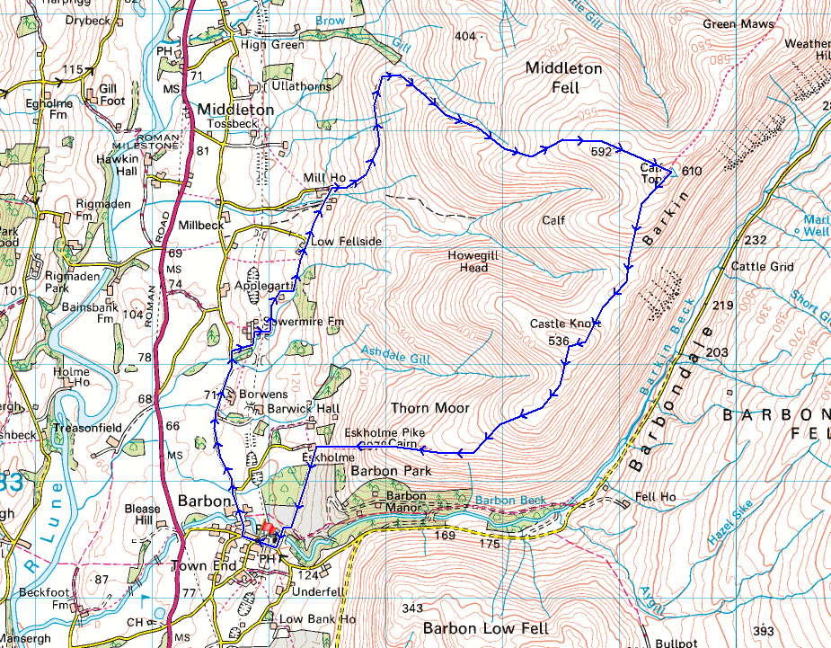
© Crown copyright. All rights reserved. License number PU 100034184.
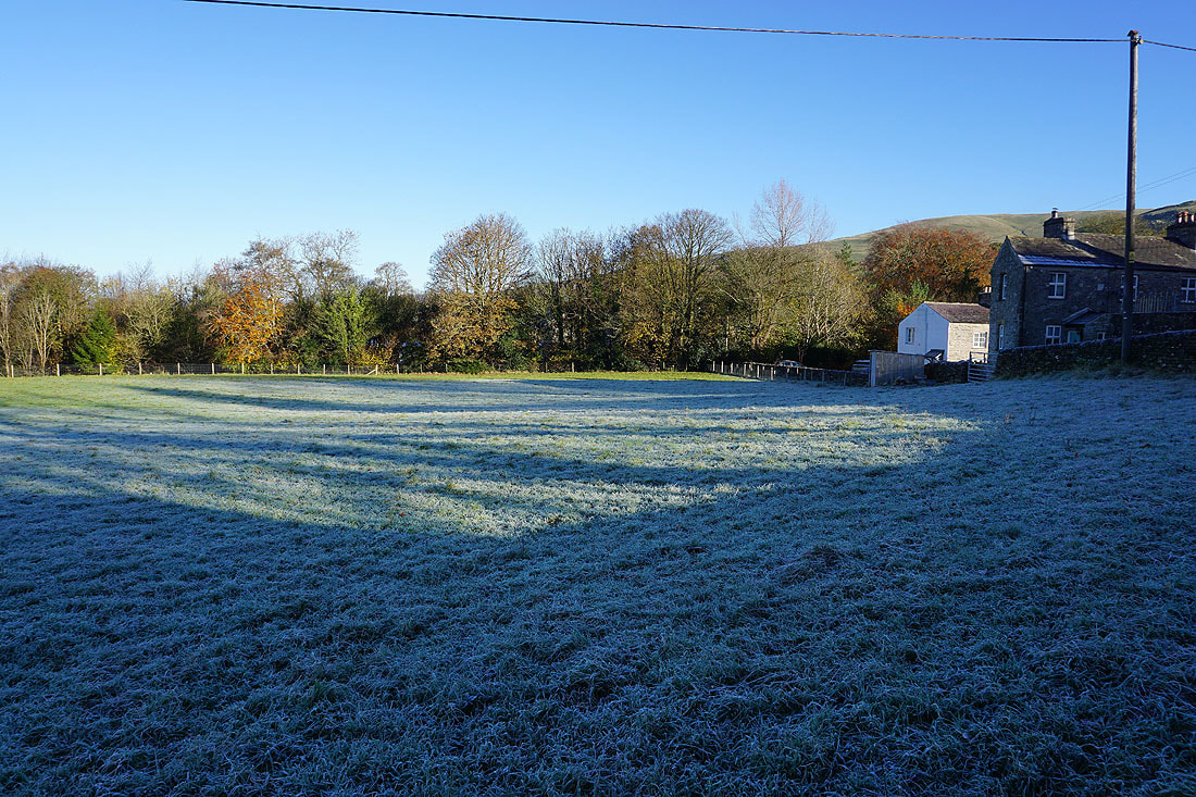
It's a frosty morning in Barbon
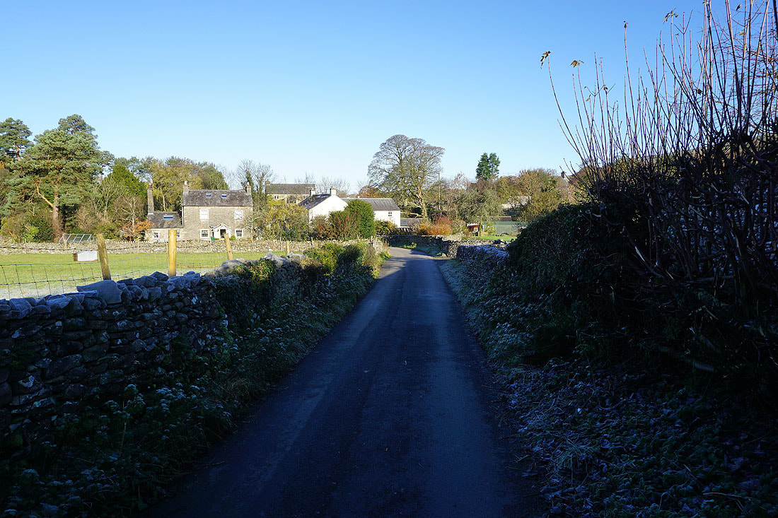
Leaving Barbon, I walk north along High Road
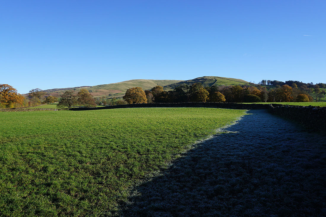
To my right, Castle Knott and Eskholme Pike
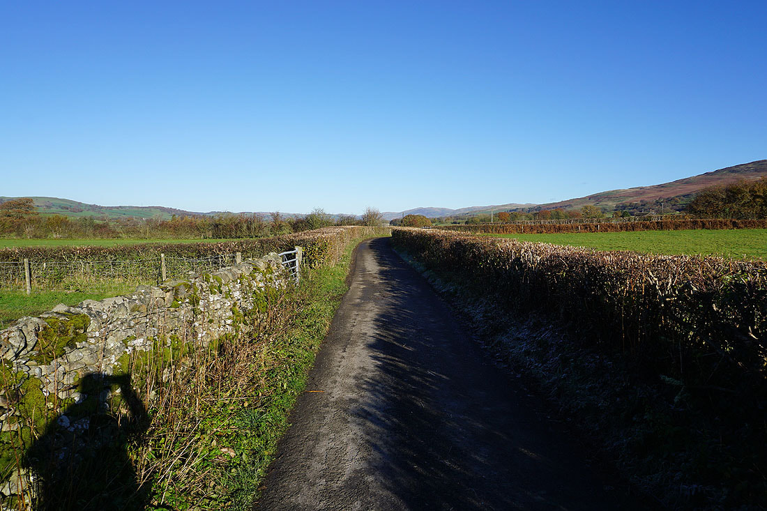
It's a beautiful autumn morning as I walk north along High Road
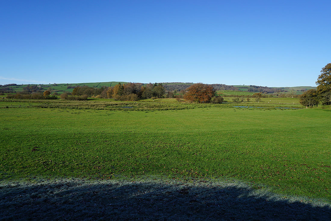
Looking across the valley of the River Lune to my left
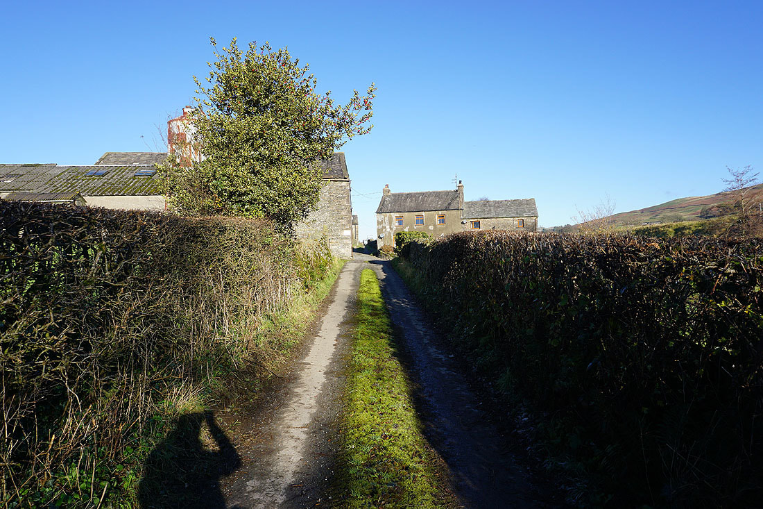
I leave High Road, and take the byway to Sowermire Farm
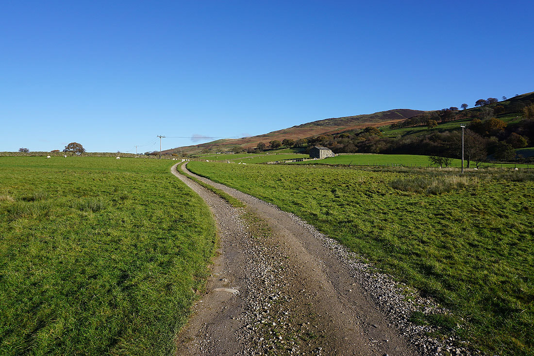
and then the footpath towards High Barn and Sowermire Wood
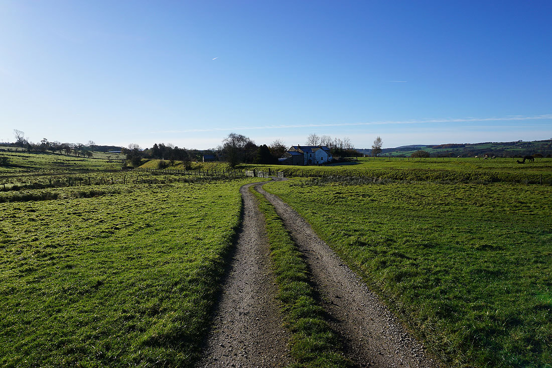
Looking back to Sowermire Farm
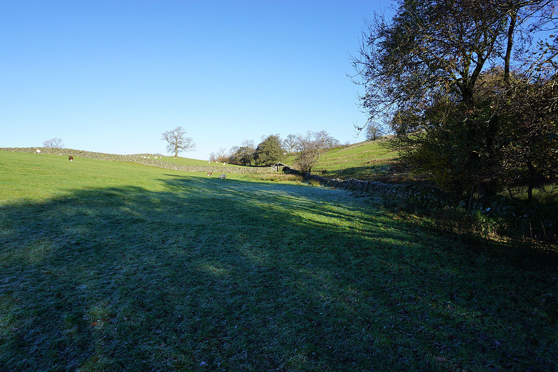
The footpath heads north from by Sowermire Wood to Low Fellside
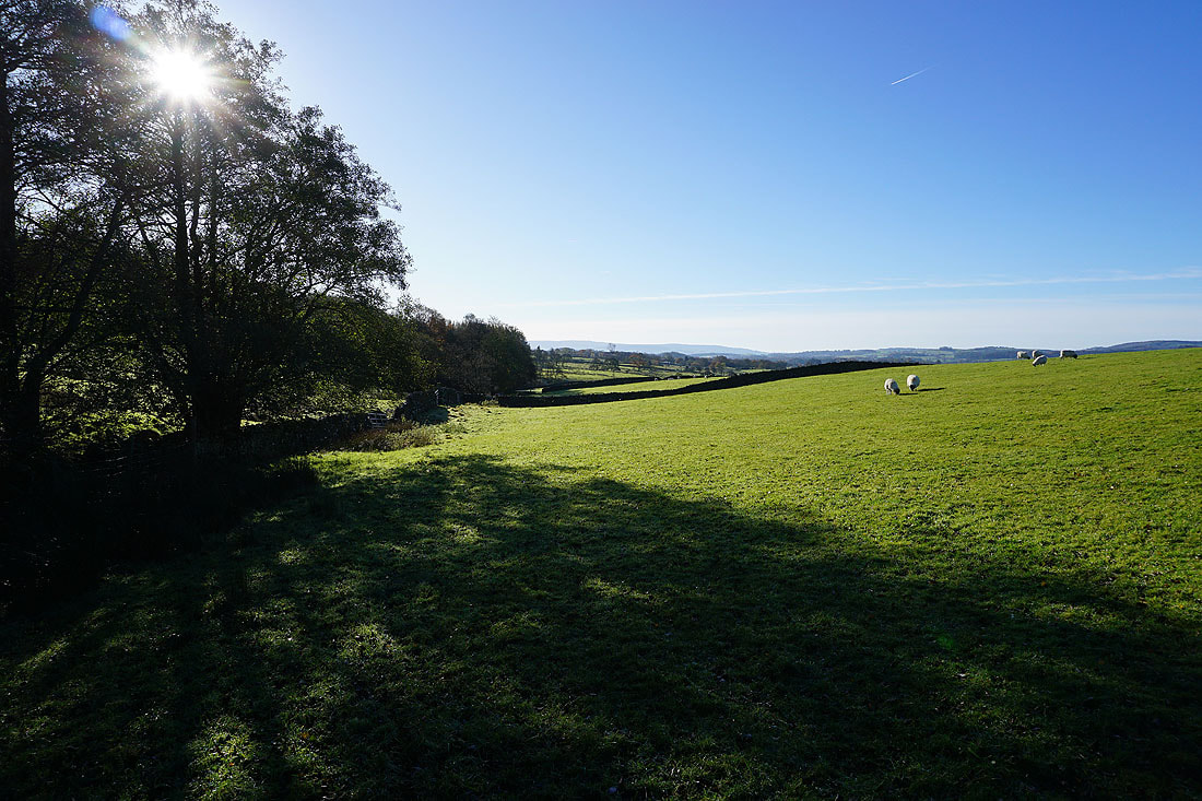
Looking south from by Sowermire Wood
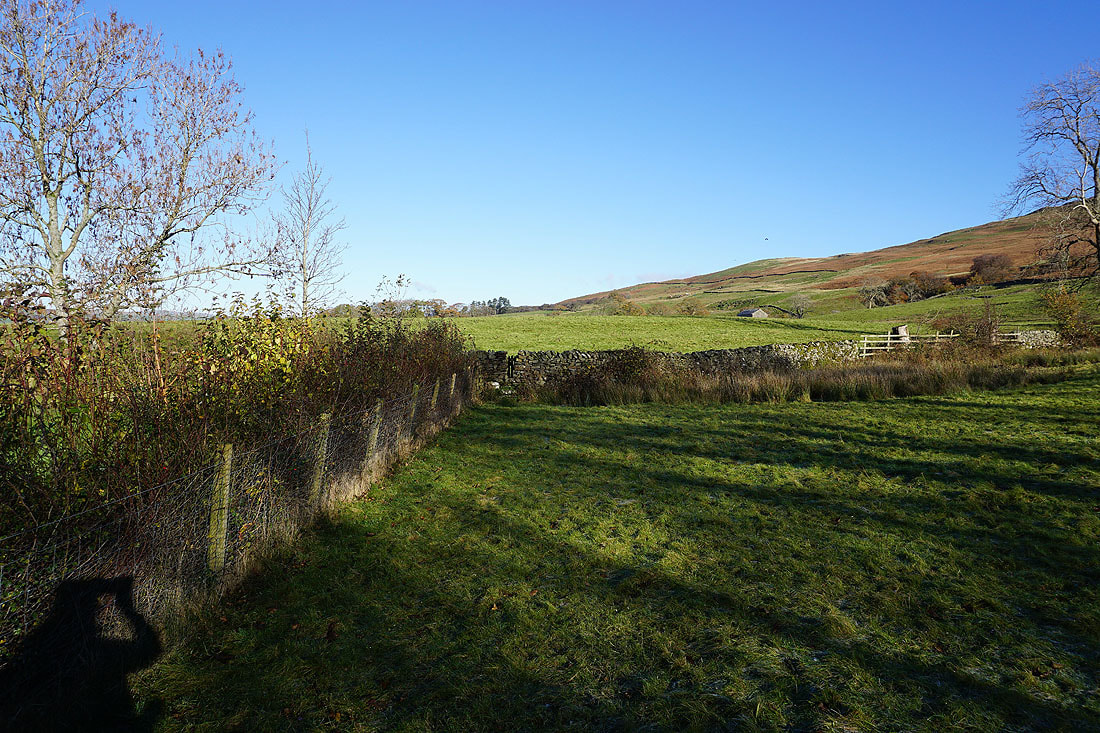
Past Low Fellside, and I continue north towards Millhouse Beck and Mill House Cottages
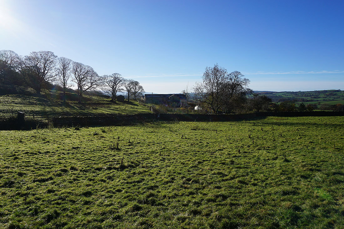
Looking back to Low Fellside
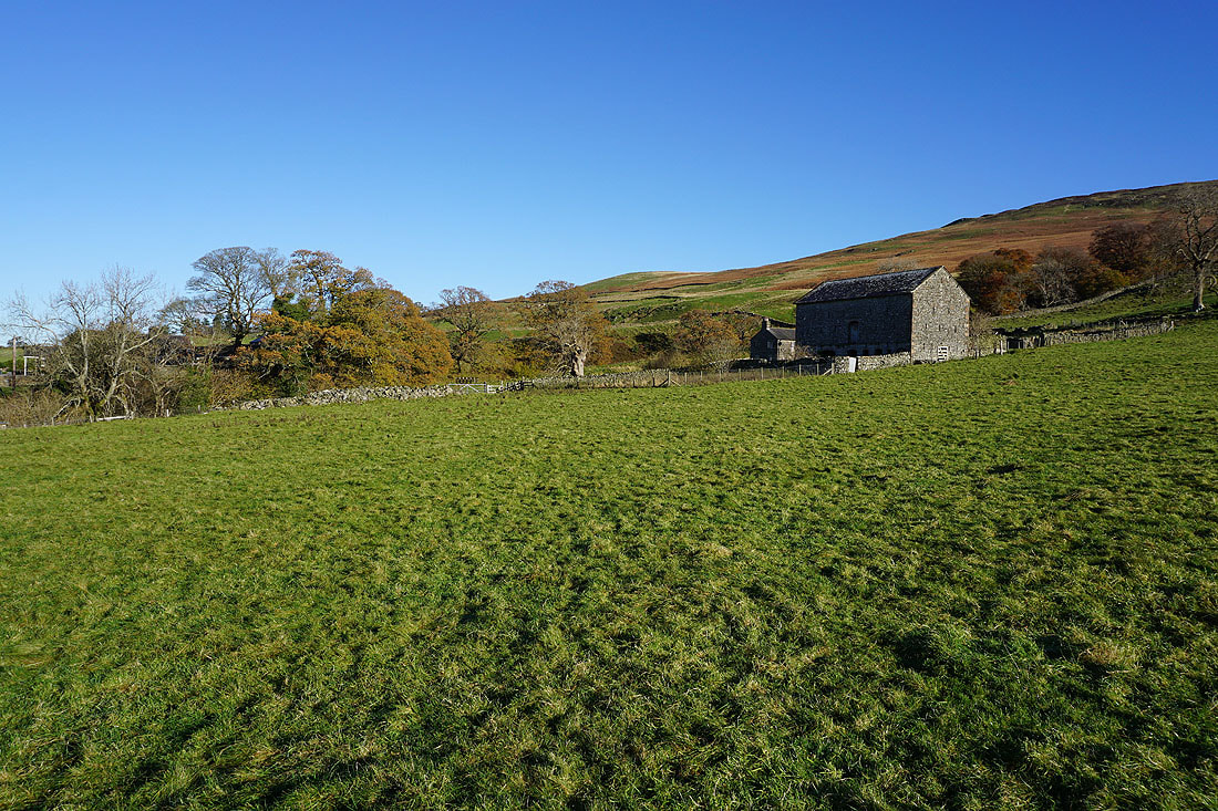
Approaching the woodland around Millhouse Beck, and fortunately there's a footbridge to help me get across it
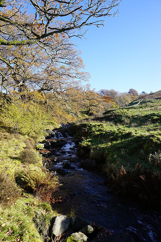
Crossing Millhouse Beck
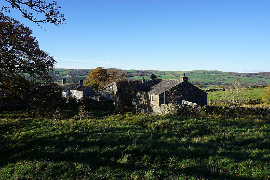
At Mill House Cottages. The public footpath goes through the buildings to the end of the road to them. Access land can't be reached by going that way. A wall had to be crossed to get onto it.
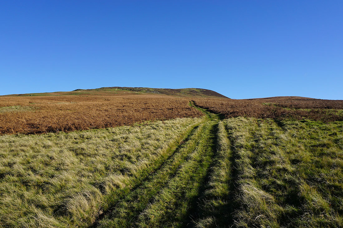
Following a track up onto the ridge to Calf Top
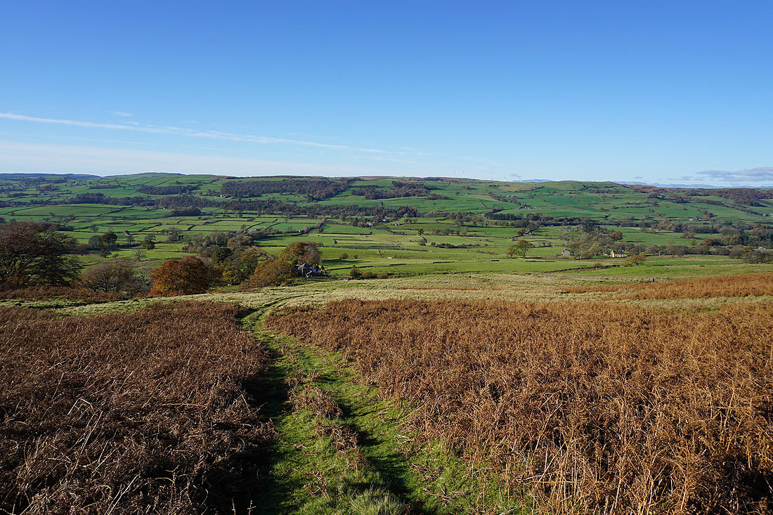
Looking back down to Mill House Cottages and the Lune Valley
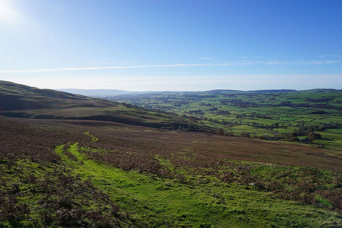
and down the Lune Valley towards Barbon
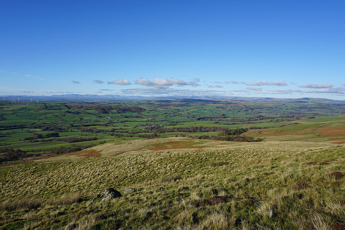
With increasing height I can now see the Lake District fells in the distance
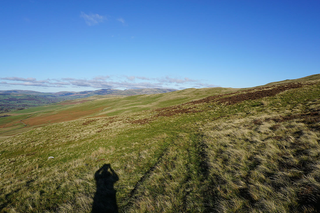
As well as the Howgills beyond the northern slopes of Middleton Fell
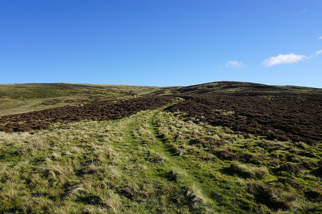
It isn't far to go to reach the top of the ridge as the path makes a left turn across the top of Thirnbeck Gill
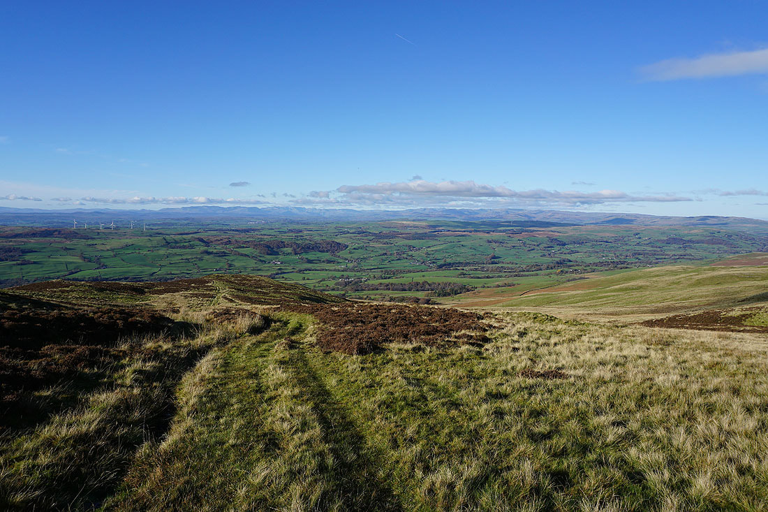
It isn't easy stopping myself from turning around all the time to take in the view that's behind me..
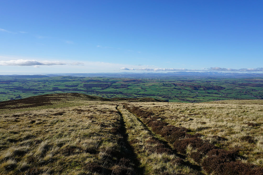
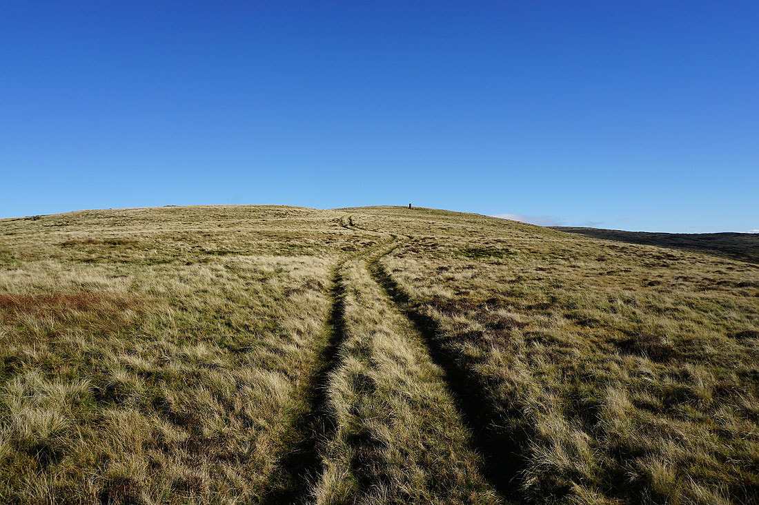
The well built cairn that sits at the western end of the summit ridge appears at last
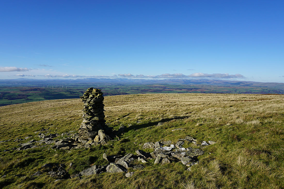
A few minutes later and I reach it. The view of the Lake District from this cairn is pretty good.
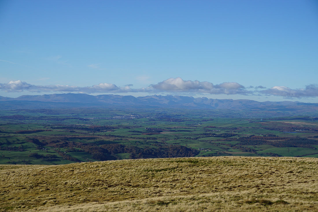
Zooming in and I can make out a dusting of snow on the Scafell range, as well as the town of Kendal in the middle distance
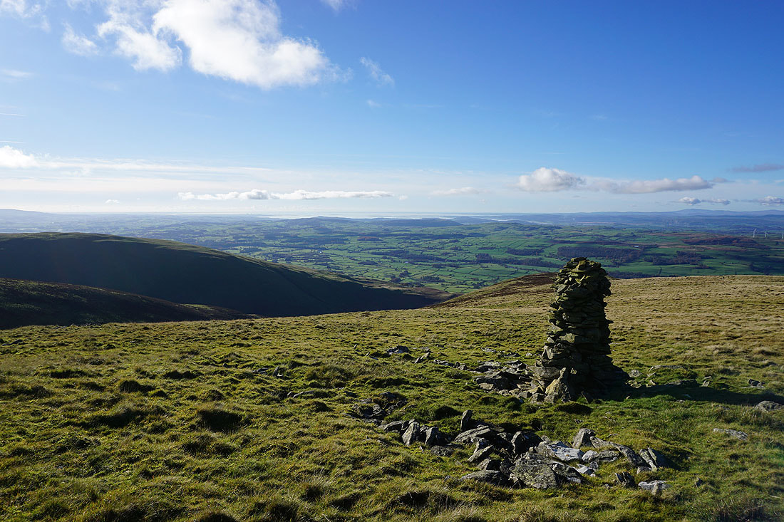
The Lune Valley and Morecambe Bay
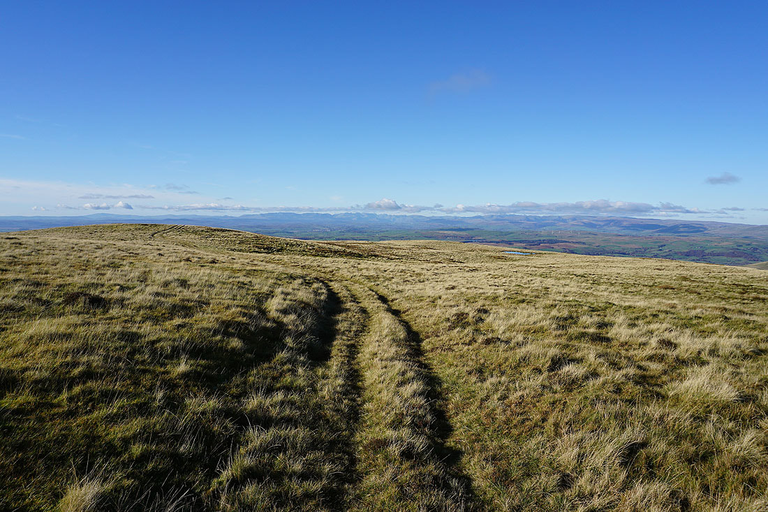
Looking back along the summit ridge to the Lake District as I head for the trig point on Calf Top
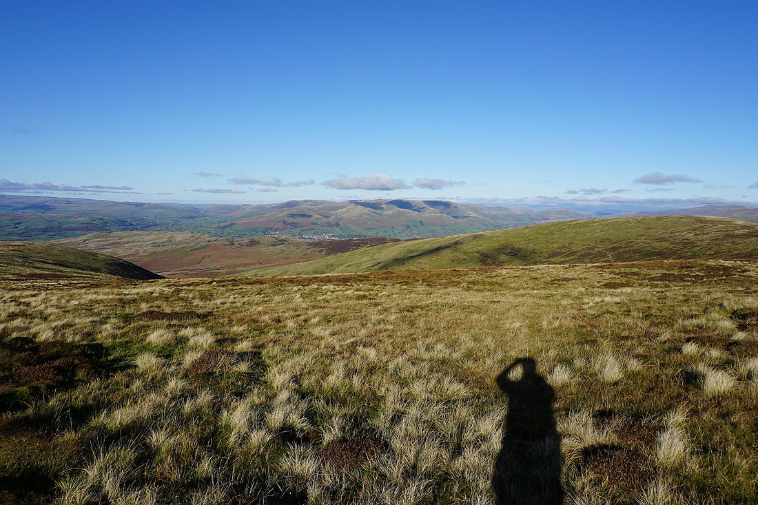
and across to Sedbergh and the Howgills
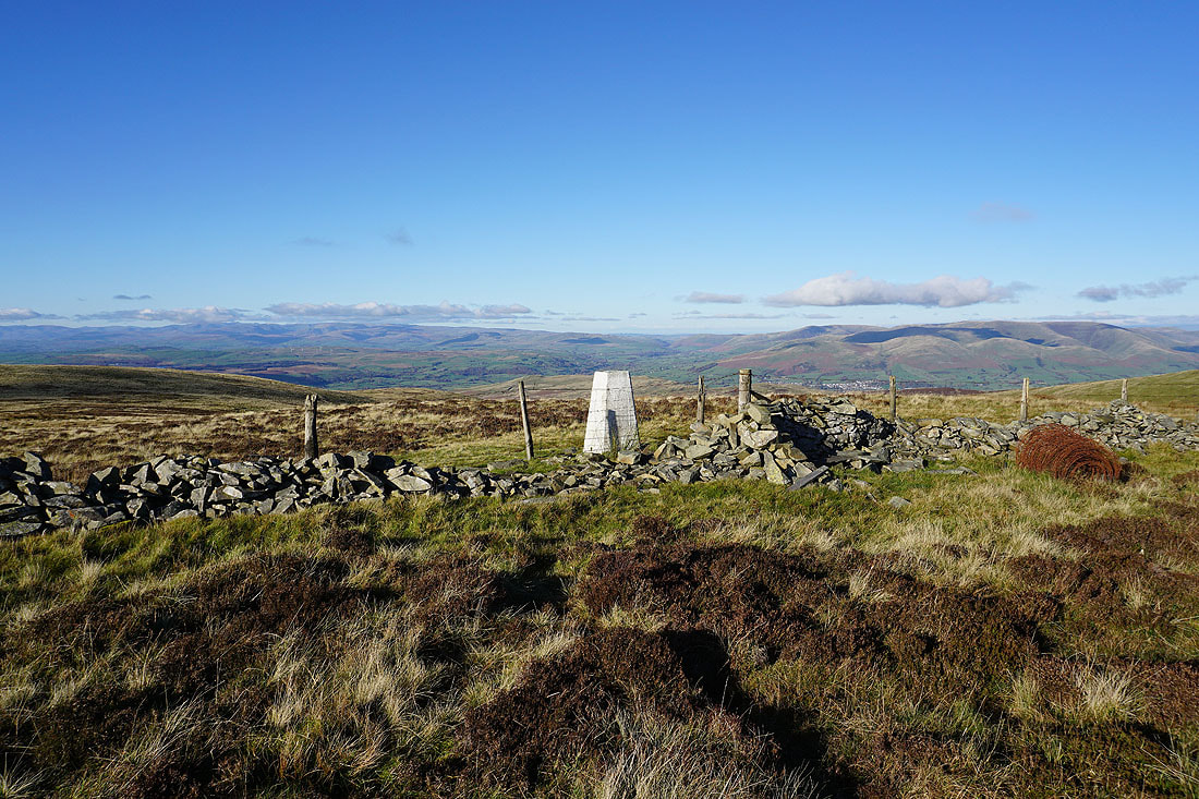
At the trig point on Calf Top, with the eastern and far eastern fells of the Lake District on the left, and the Howgills on the right
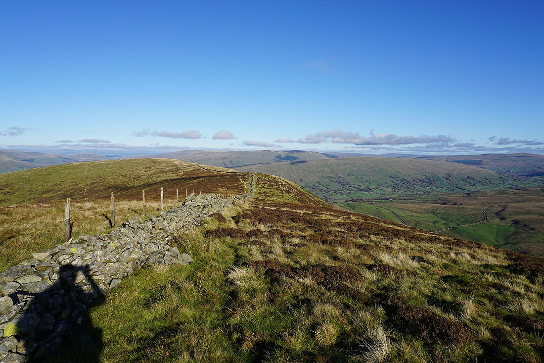
Looking northeast along the ridge to Barkin Top, and to Baugh Fell and Aye Gill Pike
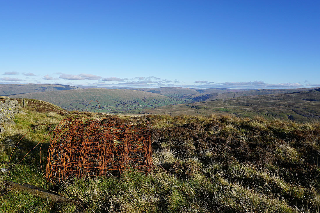
I've sat on the summit wall for my lunch, and this roll of rusty fencing wire makes an interesting foreground as I look up Dentdale to Great Knoutberry Hill
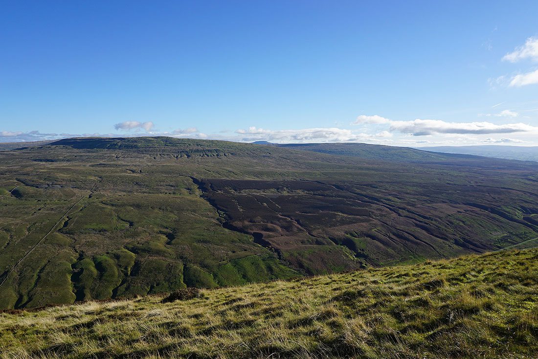
Crag Hill on the other side of Barbondale, with the top of Ingleborough and Gargareth on the right
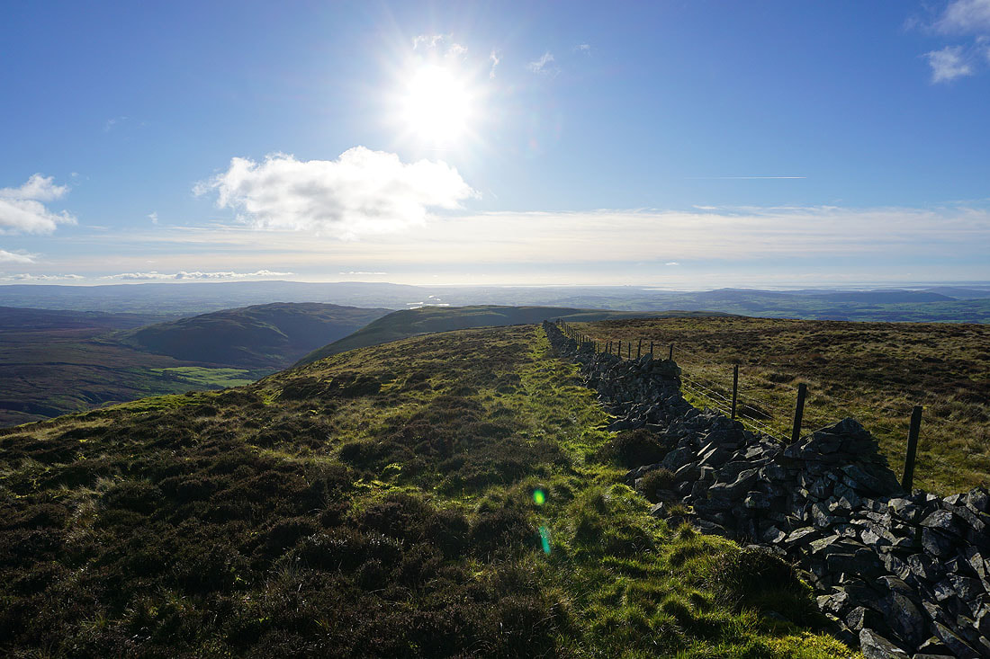
Looking south to Morecambe Bay
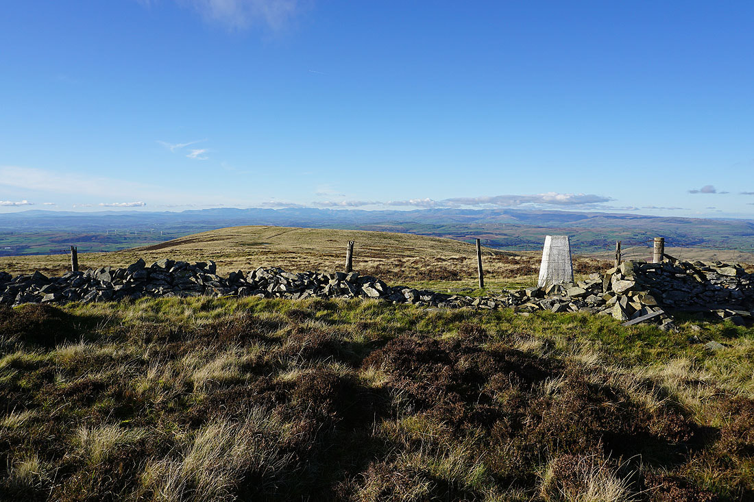
The Lake District fells from the trig point on Calf Top
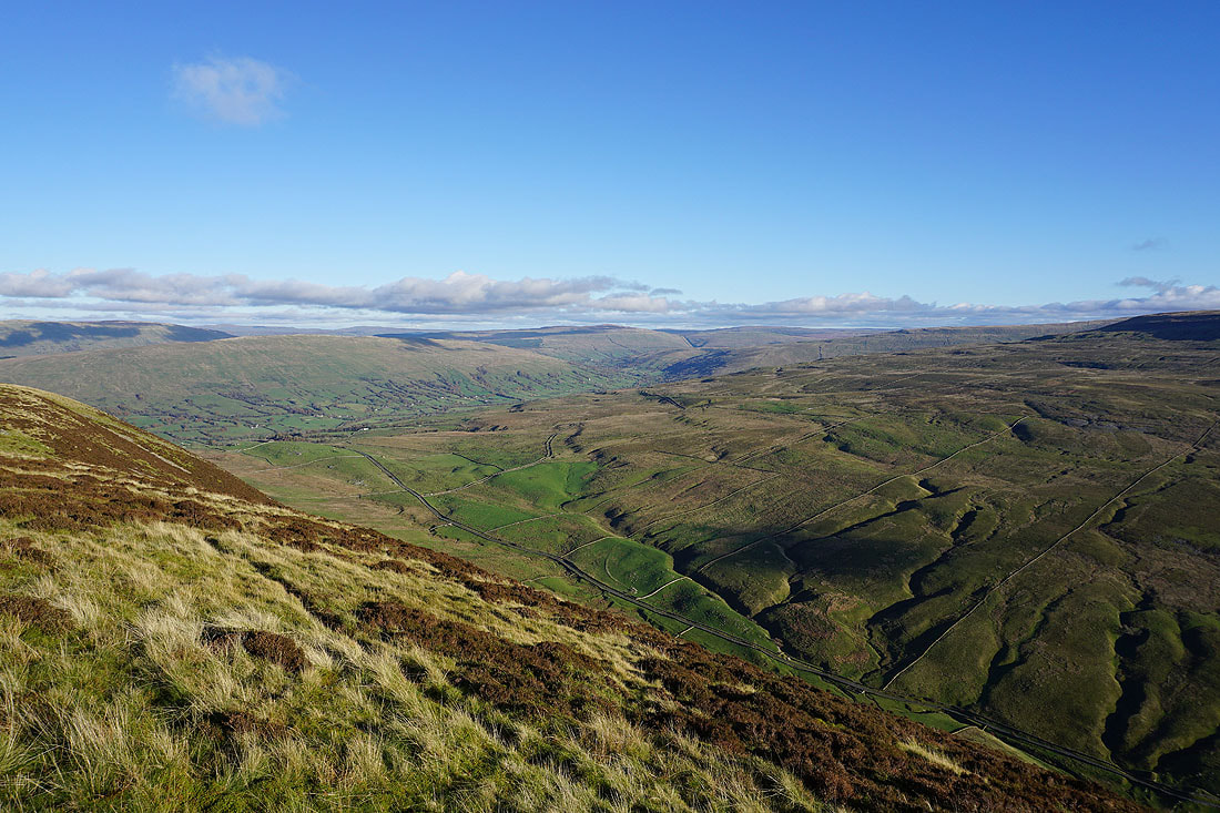
Looking along Barbondale below to Aye Gill Pike, Dentdale, and Great Knoutberry Hill
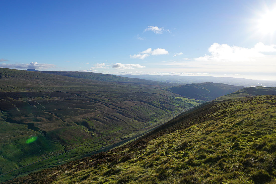
and down Barbondale to Barbon High Fell and Barbon Low Fell
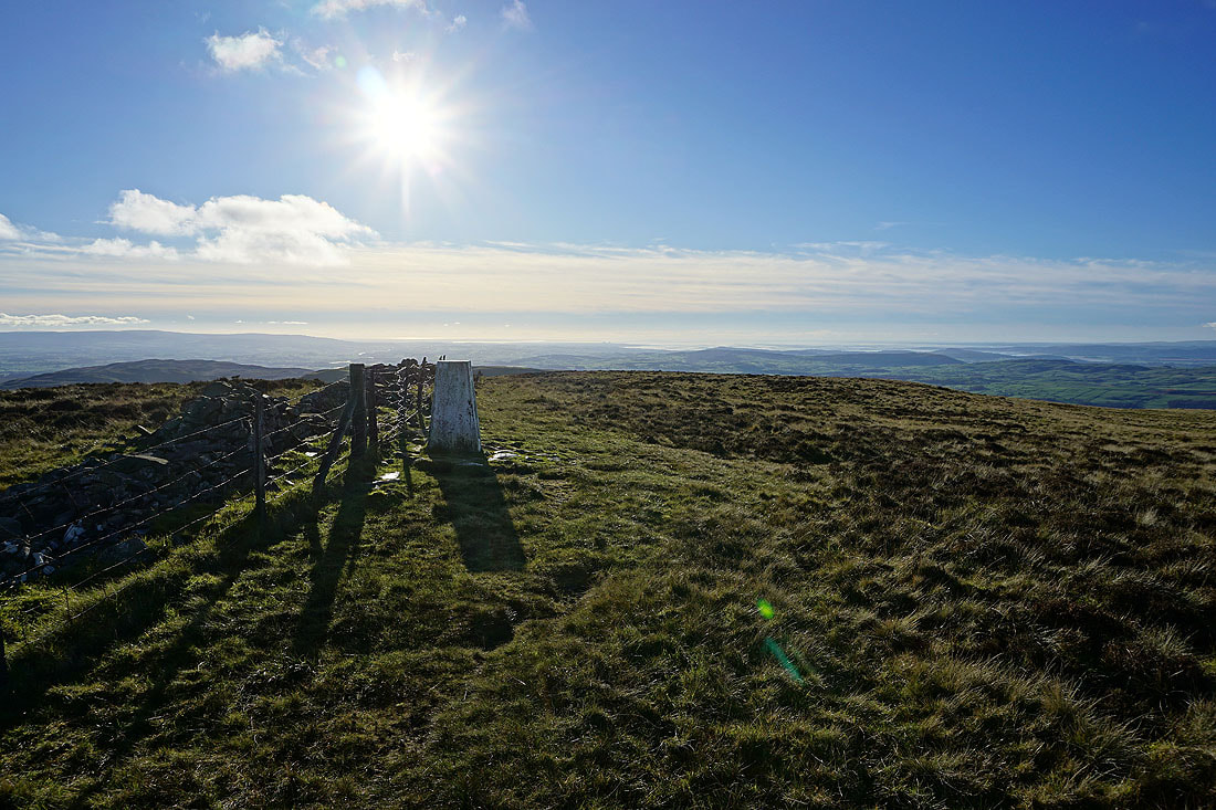
Bright sunshine looking out to Morecambe Bay
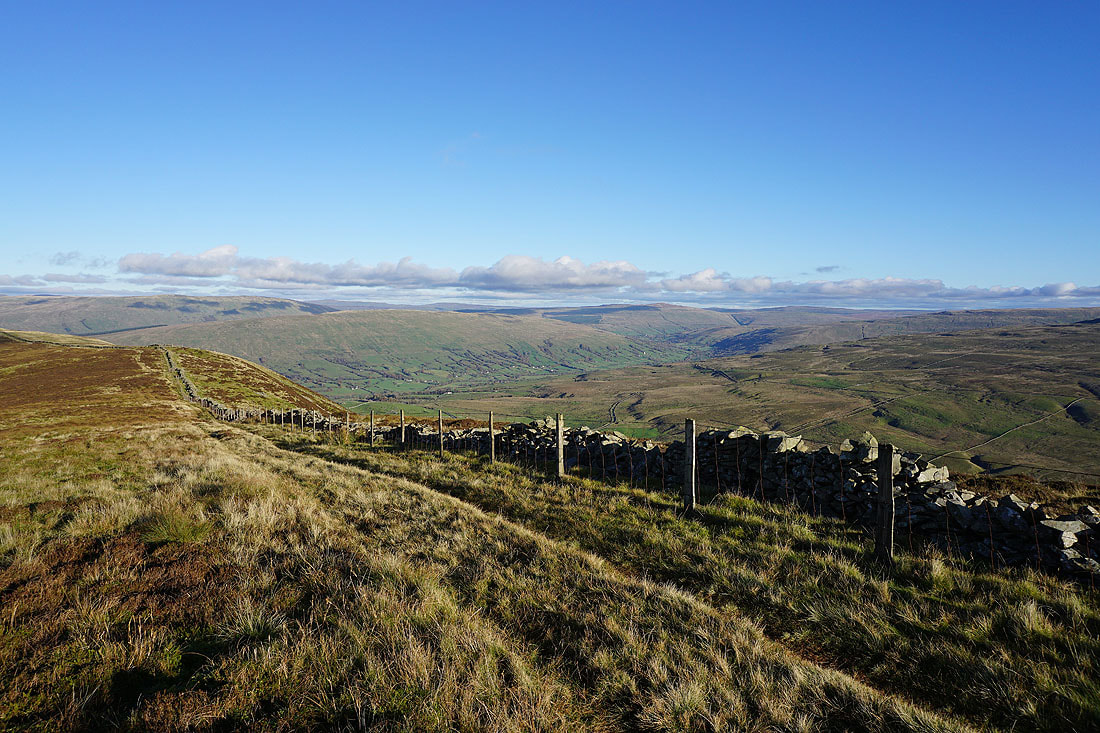
Baugh Fell, Aye Gill Pike, Dentdale, and Great Knoutberry Hill to the northeast
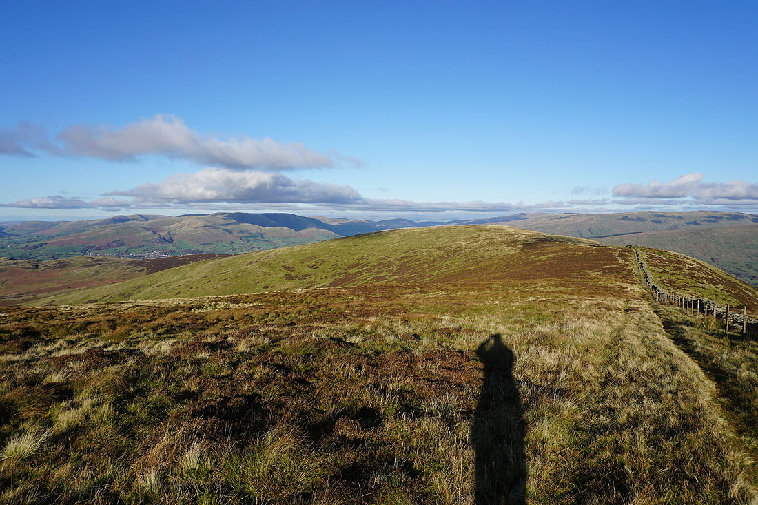
The Howgills and the ridge to Barkin Top
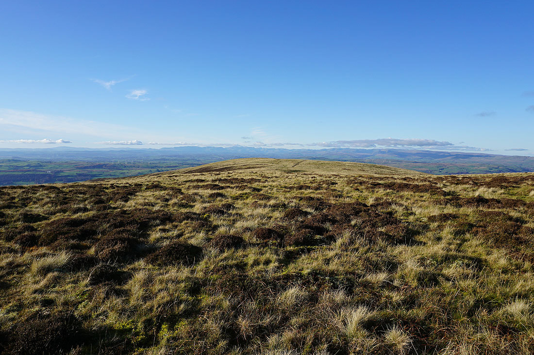
One more shot of the view towards the Lake District
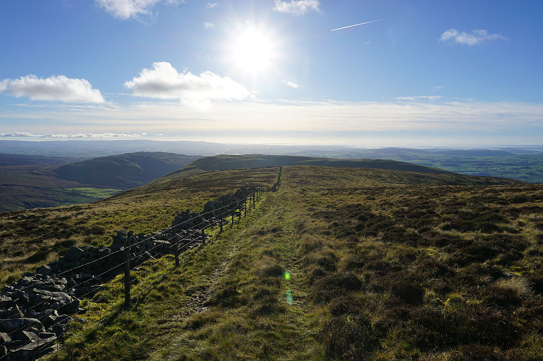
Heading south from Calf Top
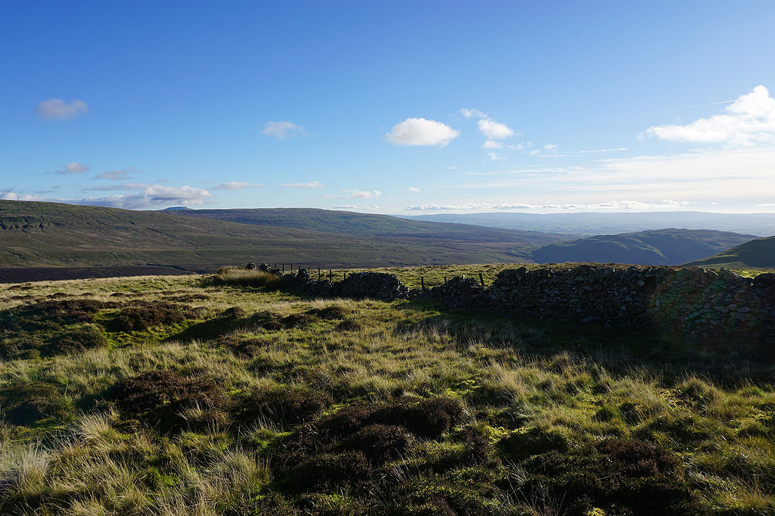
To my left, Baron High Fell, Gragareth, and Barbon Low Fell
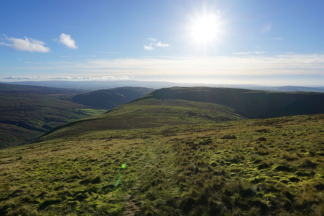
Making my way to Castle Knott
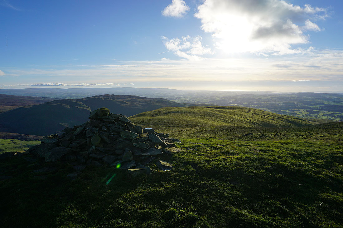
Barbon Low Fell, the Forest of Bowland, and the valley of the River Lune from Castle Knott
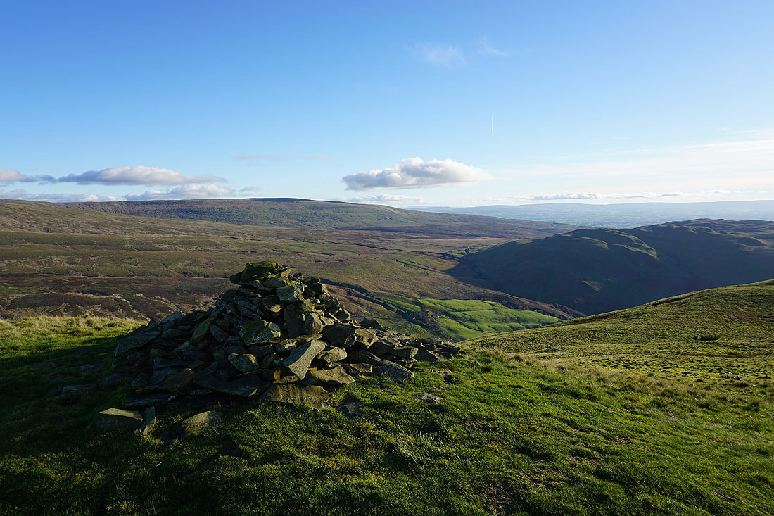
Barbon High Fell, Gragareth, and Barbon Low Fell. I can make out Leck Fell House on the side of Gragareth.
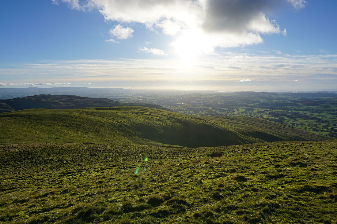
Looking across Thorn Moor and down the valley of the River Lune to Morecambe Bay
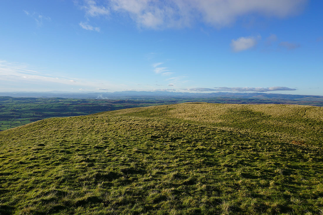
and west along the summit ridge of Castle Knott to the Lake District
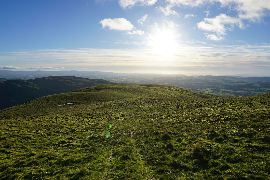
Heading down from Castle Knott
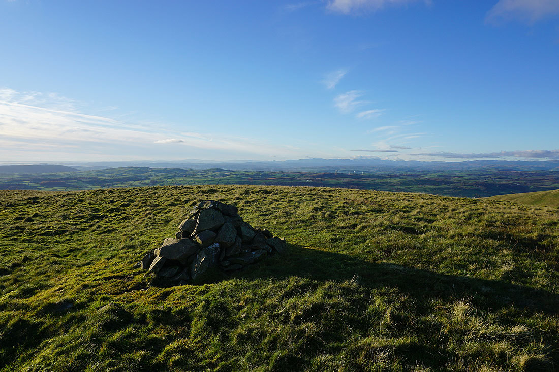
A cairn at the lower top of Castle Knott gives me a view across to the Lake District
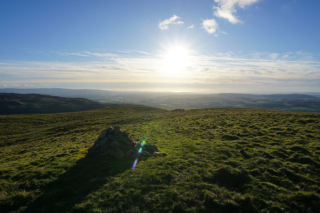
As well as to the sun shining on Morecambe Bay
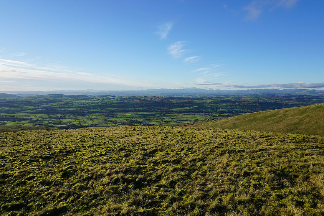
A short walk down the western slope lets me see the valley of the River Lune below
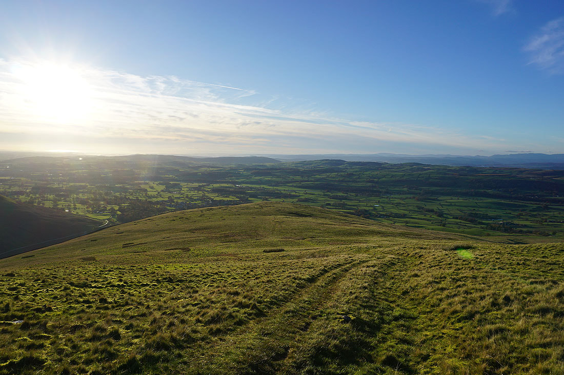
Making my descent to Eskholme Pike
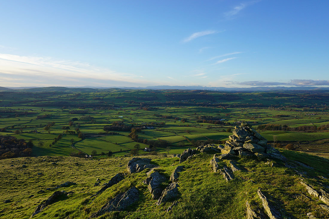
On Eskholme Pike, and the fantastic view across the valley of the River Lune to the distant Lake District fells..
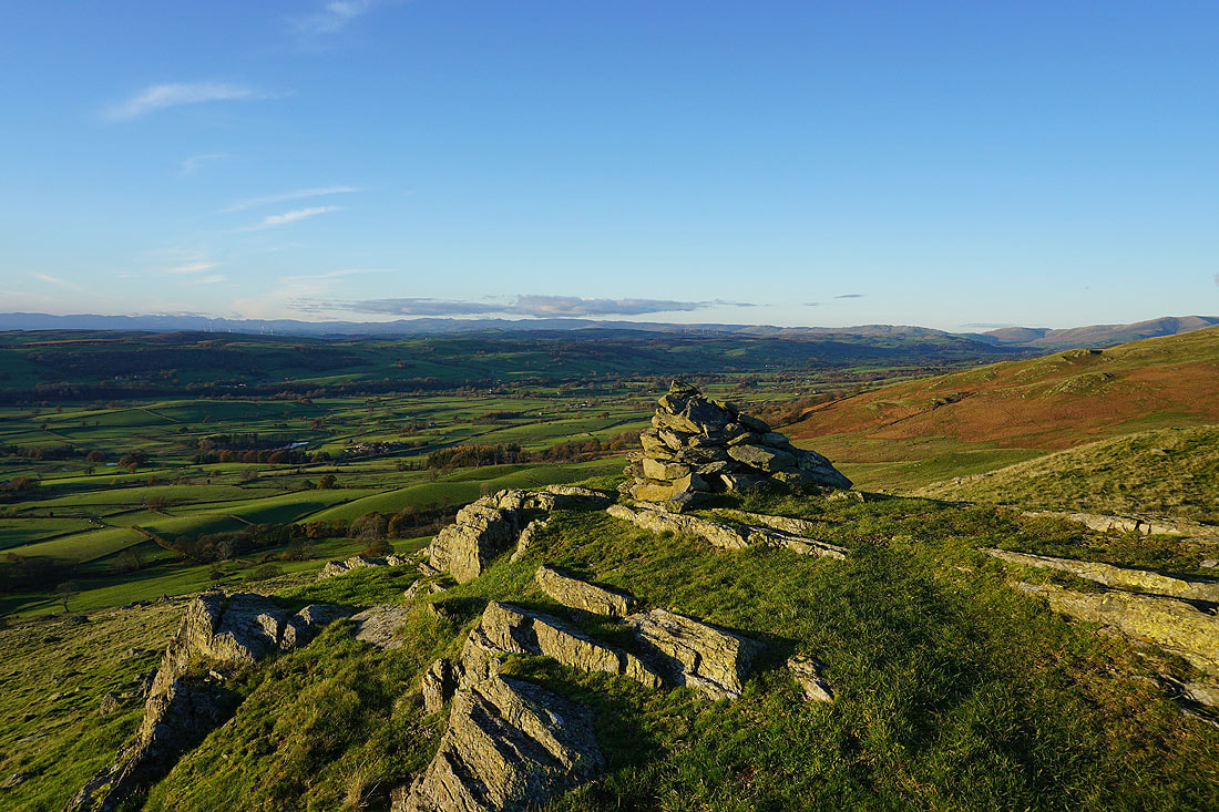
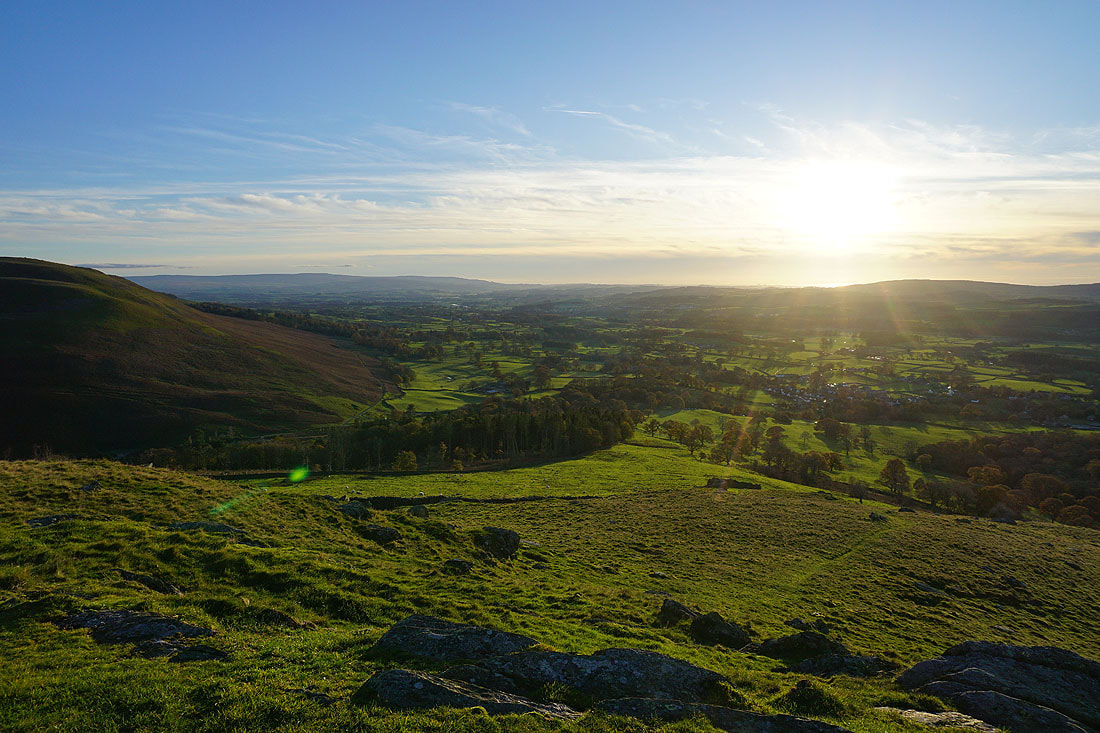
The village of Barbon below
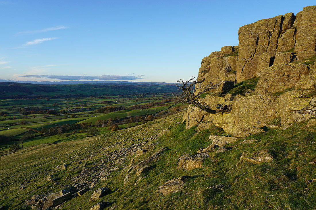
The hawthorn on Devil's Crag is still hanging on
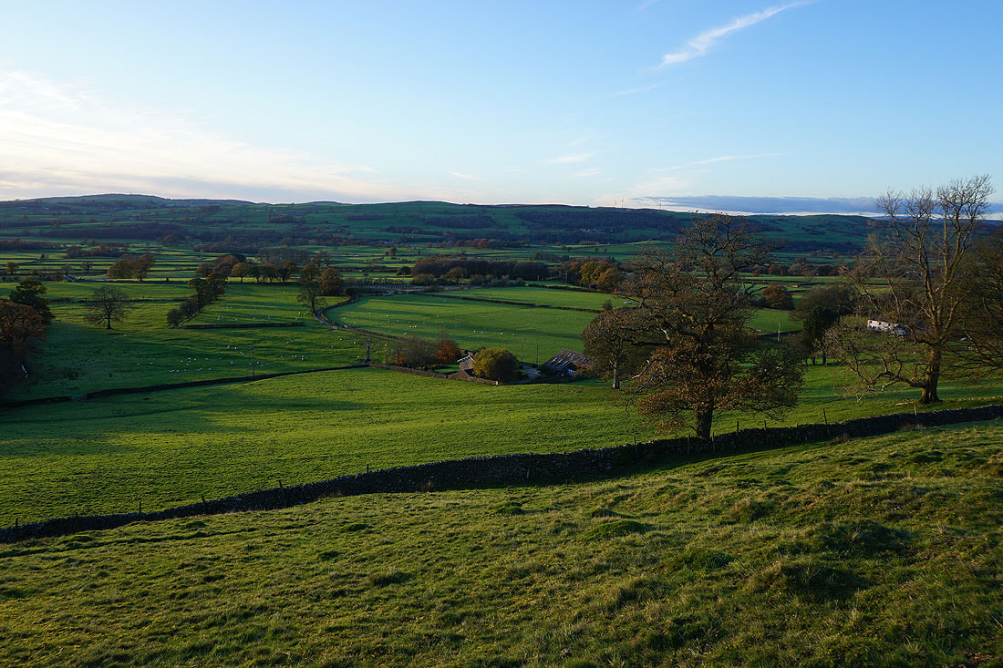
Making my way down to the edge of access land, with Eskholme below
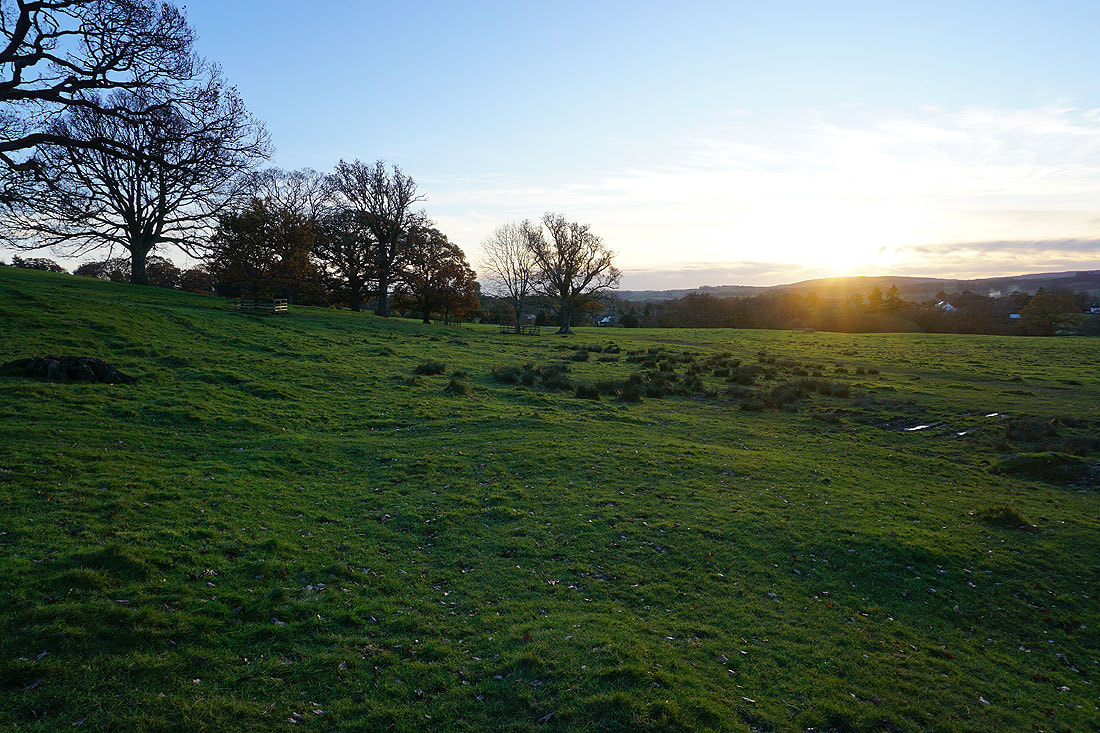
and through Barbon Park towards Barbon
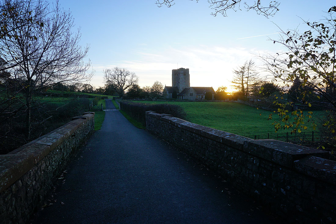
Crossing the bridge over Barbon Beck back to Barbon and St. Bartholomew's church