11th October 2010 - A Glenridding Round
Walk Details
Distance walked: 10.2 miles
Total ascent: 4297 ft
OS map used: OL5 - The English Lakes, North-eastern area
Time taken: 6.5 hrs
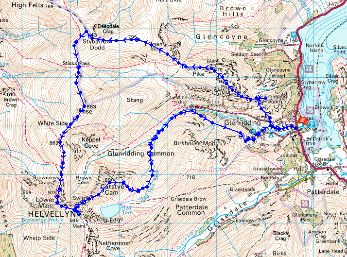
Route description: Glenridding-Greenside Road-The Rake-Glenridding Dodd-Heron Pike-Sheffield Pike-Nick Head-Green Side-Stybarrow Dodd-Sticks Pass-Raise-Whiteside-Helvellyn Lower Man-Helvellyn-Swirral Edge-Catstye Cam-Red Tarn Beck-Glenridding
After setting out from Glenridding I made my way up Greenside Road and up The Rake to my first top of Glenridding Dodd. My walk then took me over the summits of Sheffield Pike, Green Side, Stybarrow Dodd, Raise, Whiteside and Helvellyn Lower Man before finally arriving on Helvellyn. I descended down Swirral Edge and then up to the top of Catstye Cam. I then used the path down Red Tarn Beck and Glennridding Beck to make my way back to Glenridding.
Route map
On Glenridding Dodd
Ullswater
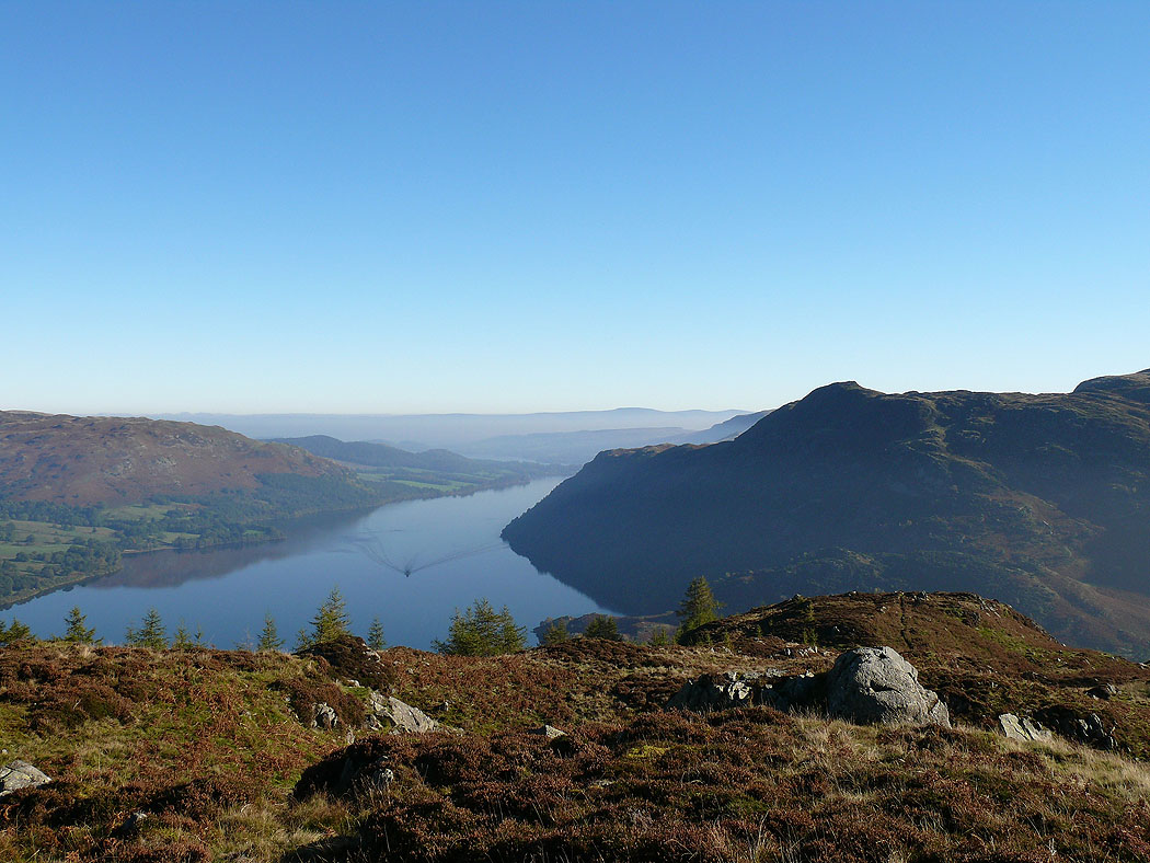
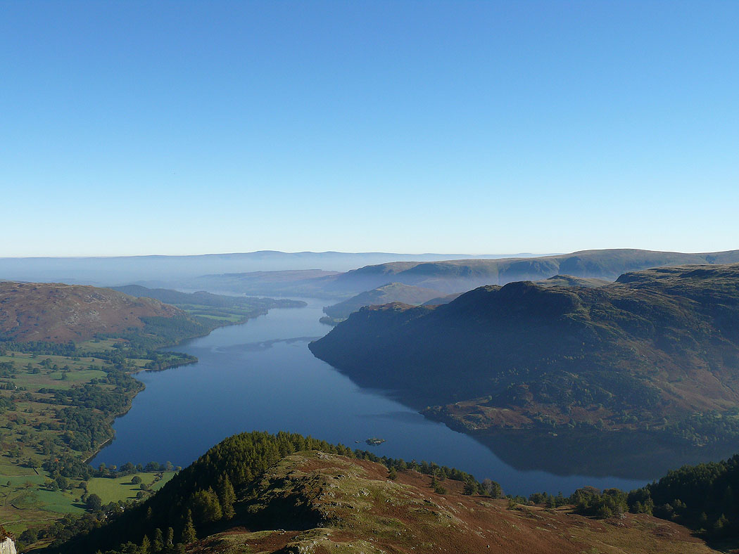
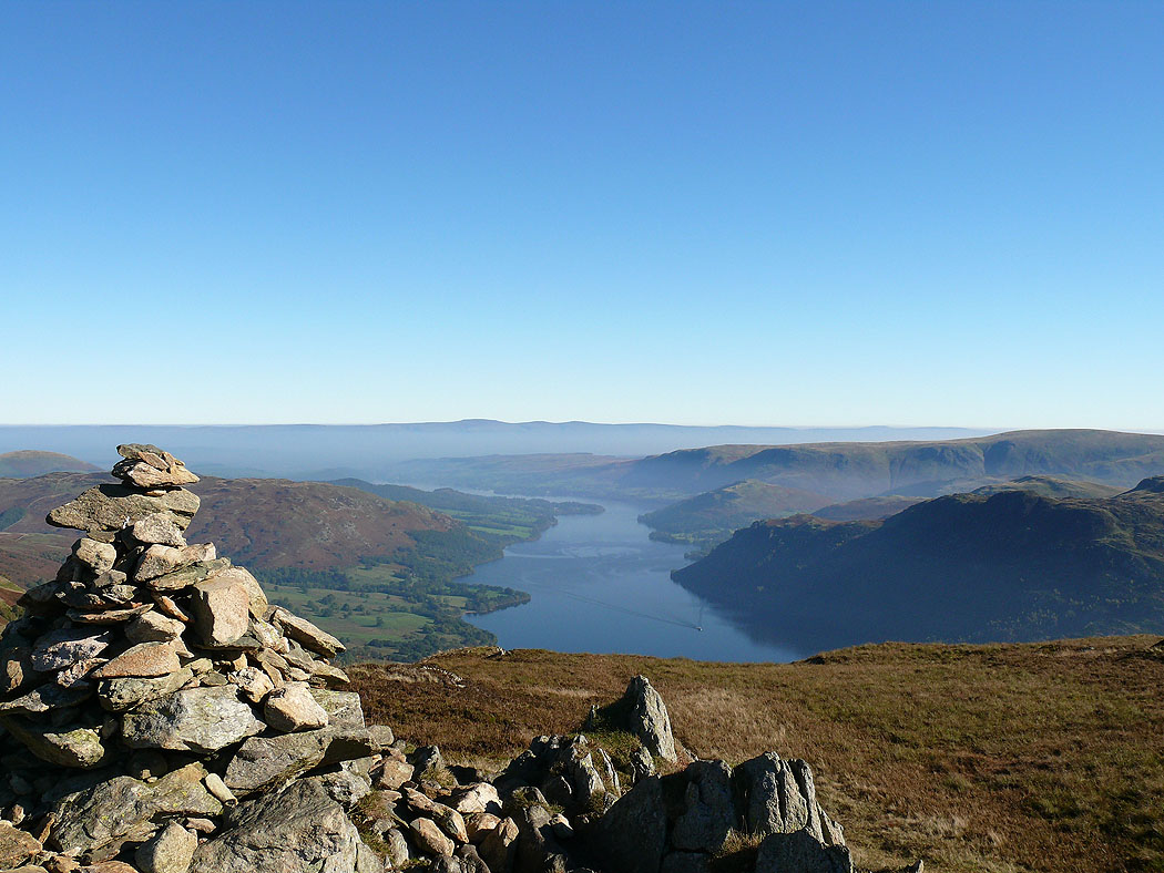
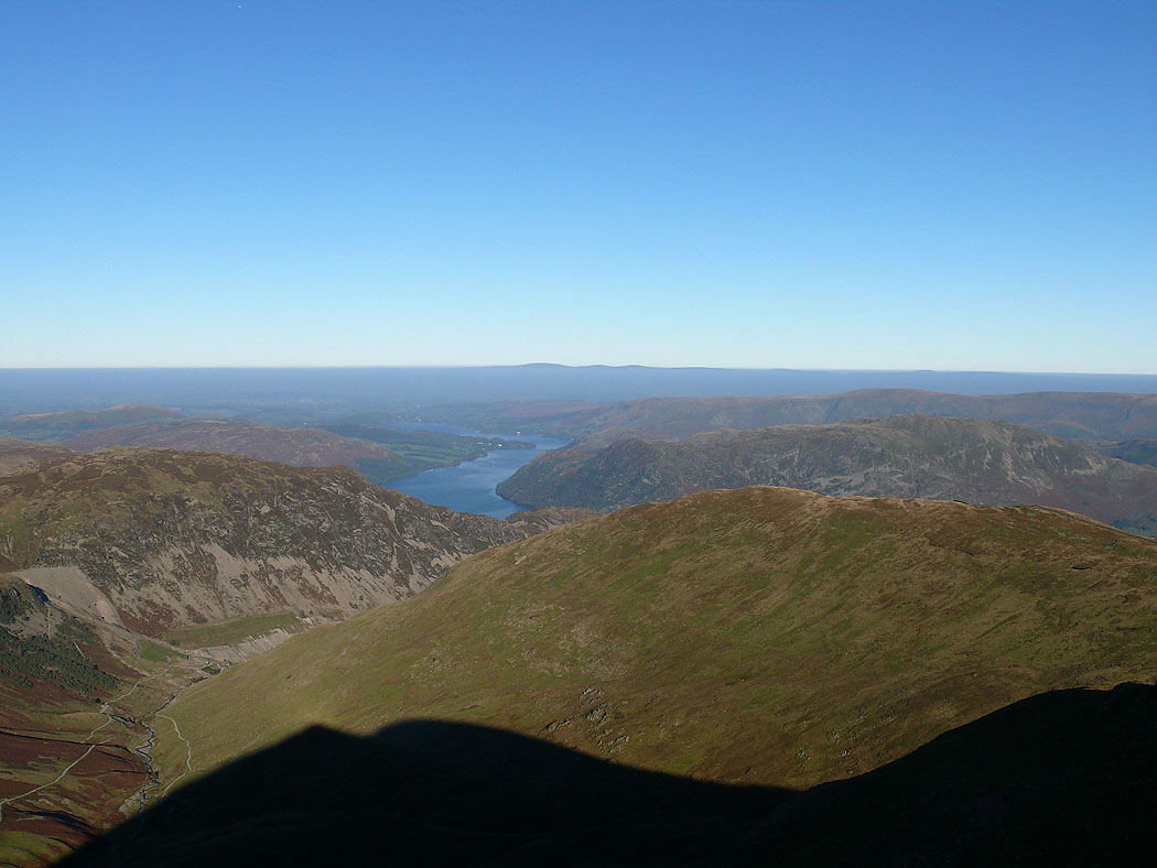
Looking down on the head of Ullswater
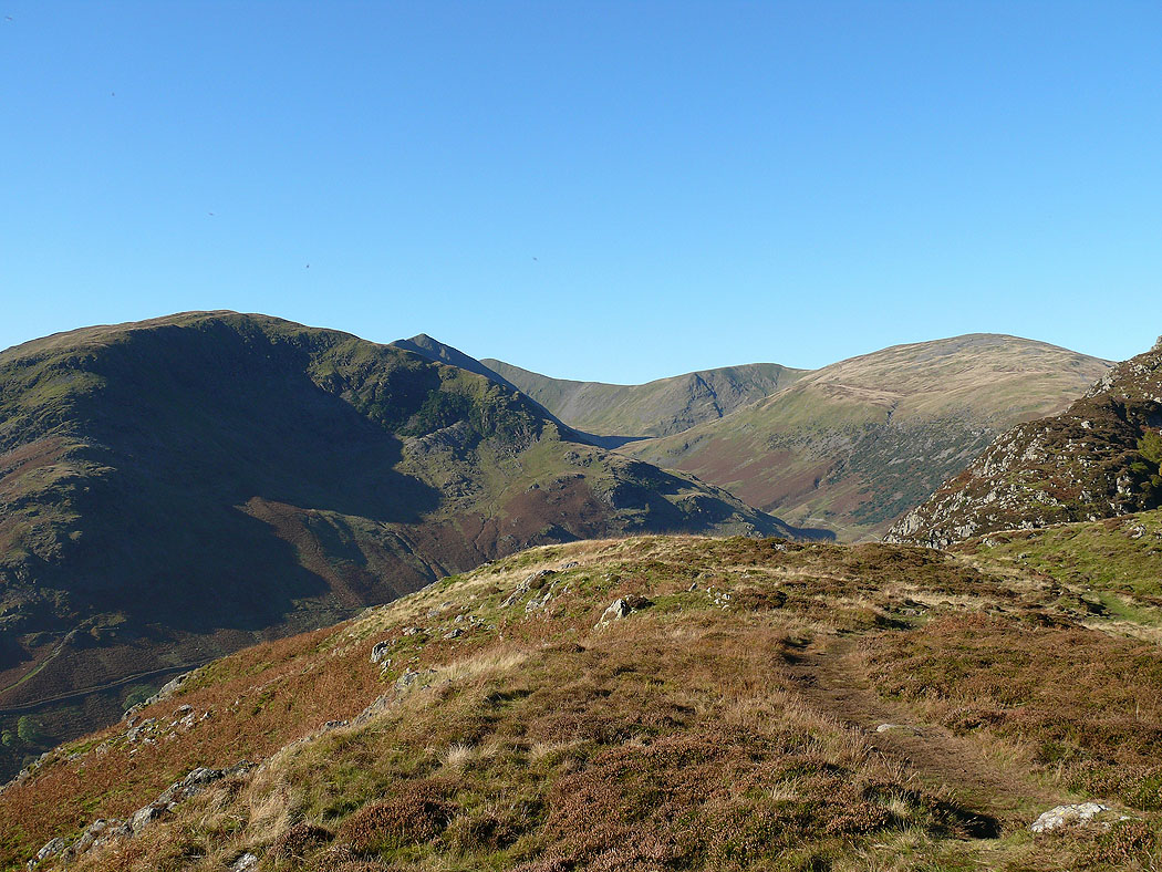
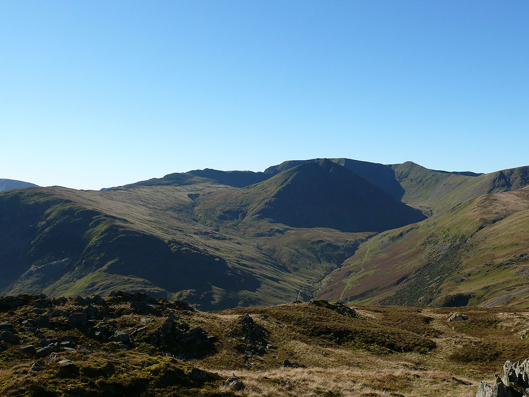
Birkhouse Moor, Catstye Cam, Helvellyn Lower Man, Whiteside and Raise
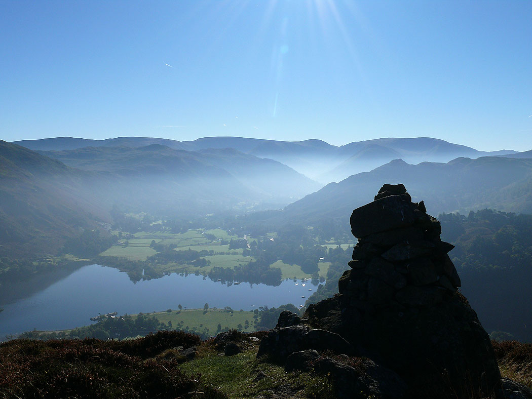
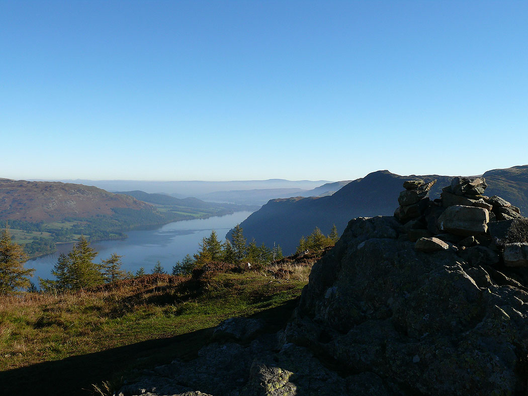
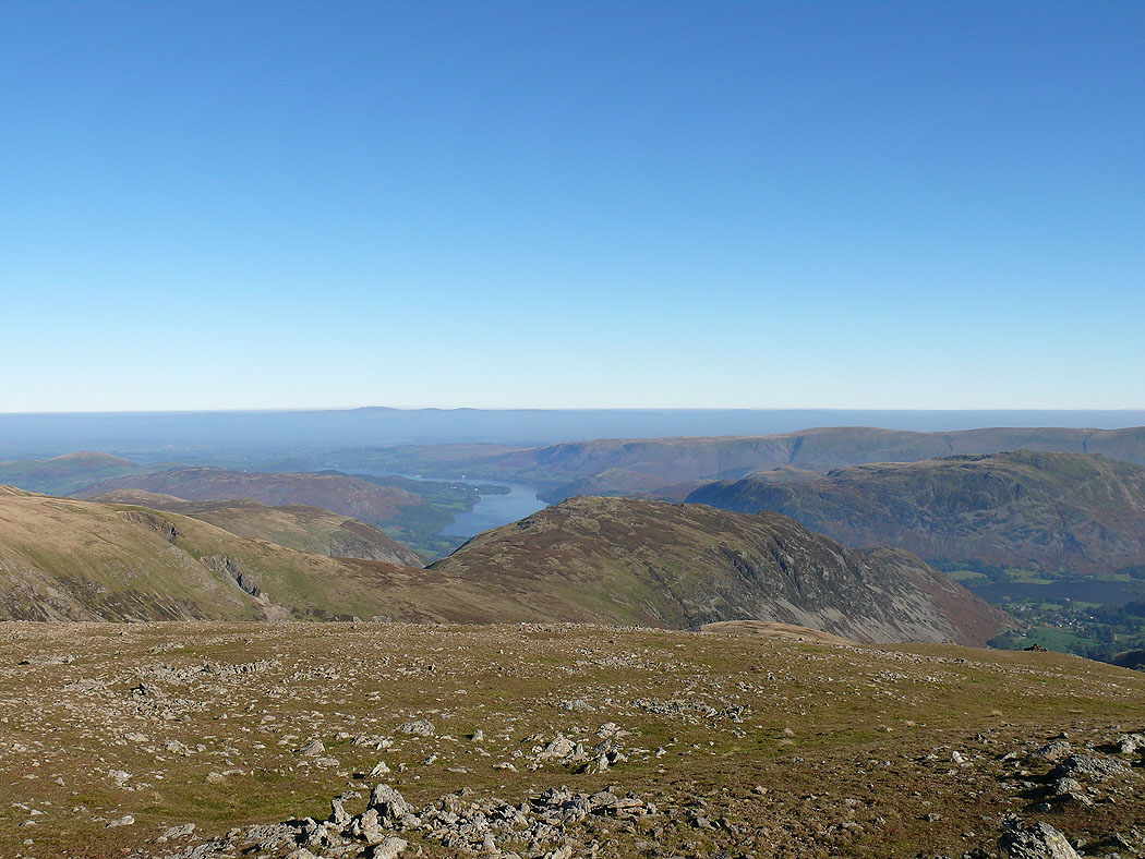
Ullswater from the top of Glenridding Dodd
Ullswater from Heron Pike
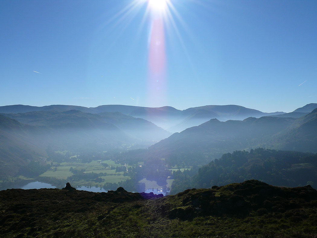
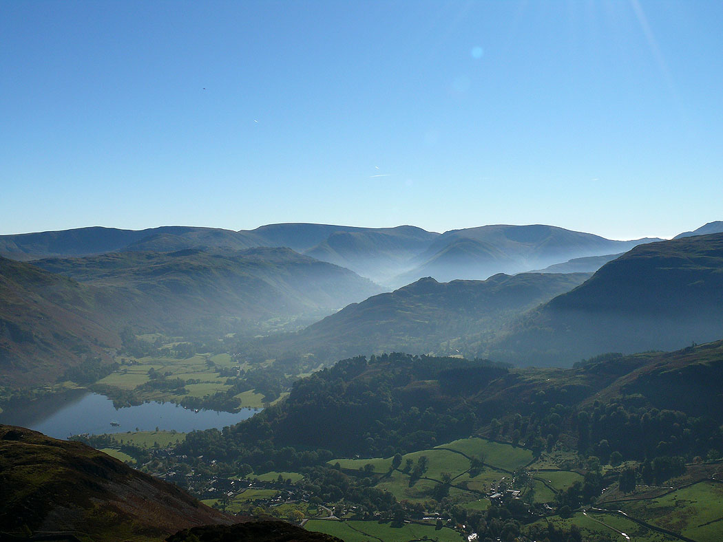
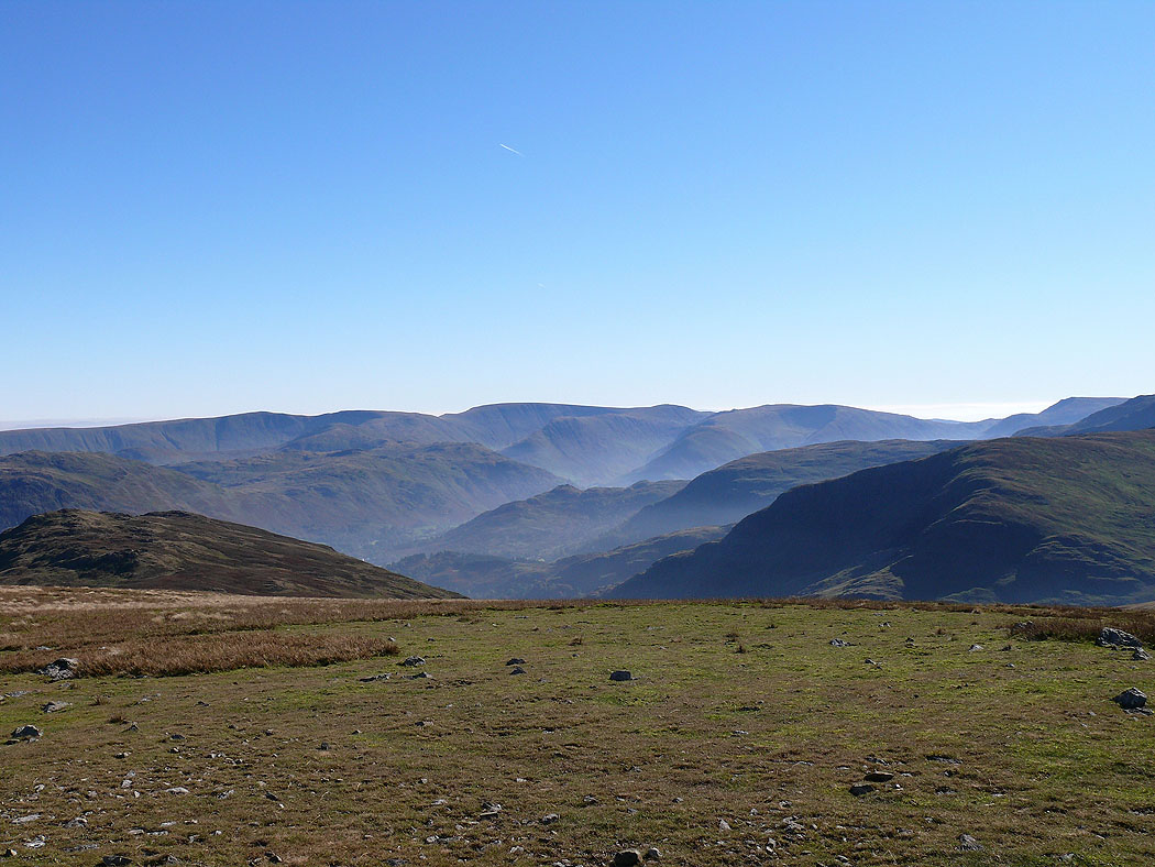
A view of Patterdale and the far eastern fells
Ullswater to the North Pennines from Sheffield Pike
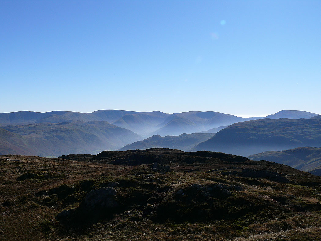
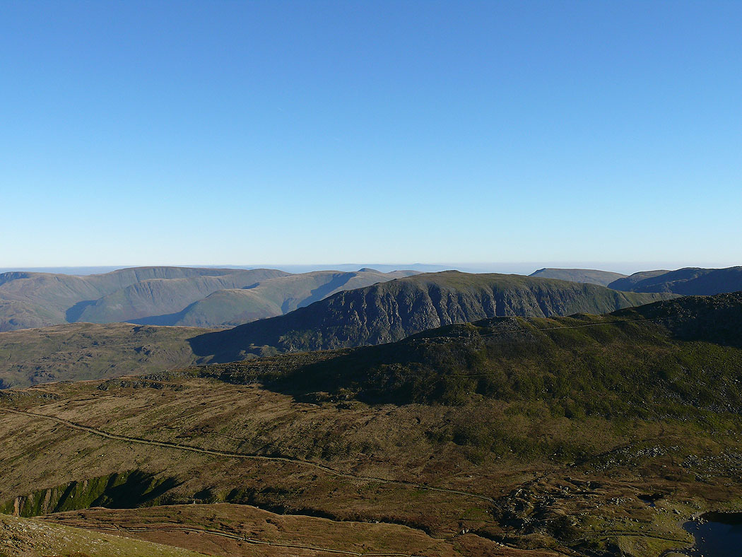
The view across to High Street and the far eastern fells
Helvellyn
High Street from Green Side
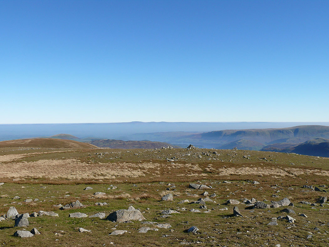
Cross Fell just visible above the haze layer
On Stybarrow Dodd
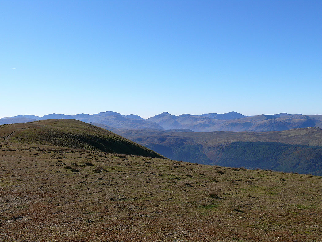
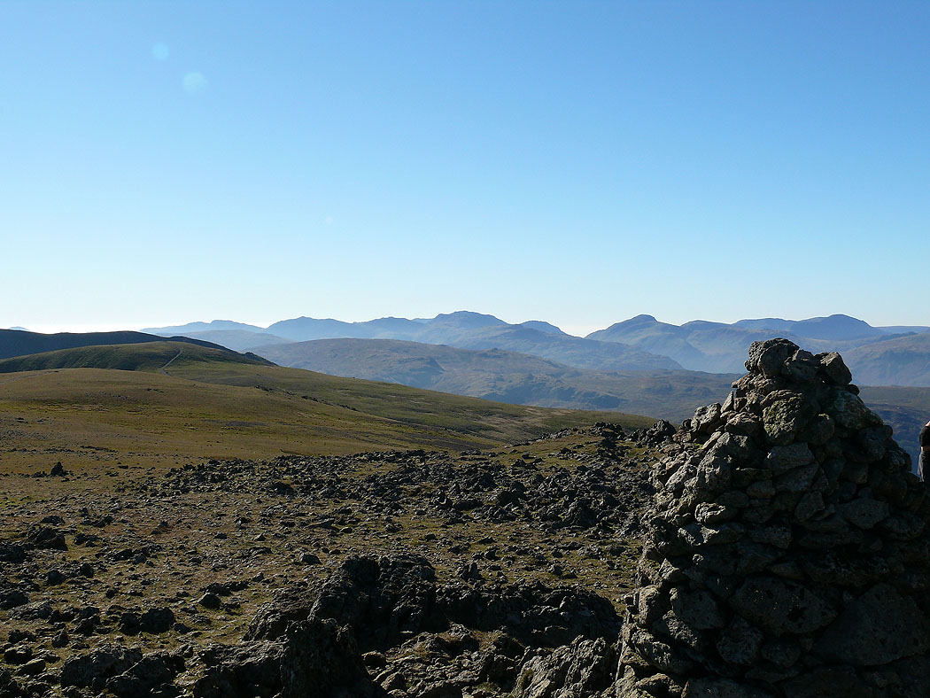
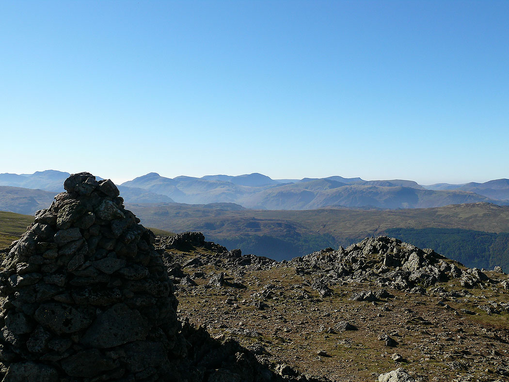
Crinkle Crags, Bowfell, Esk Pike, Scafell Pike, Great End, Great Gable and Pillar in view
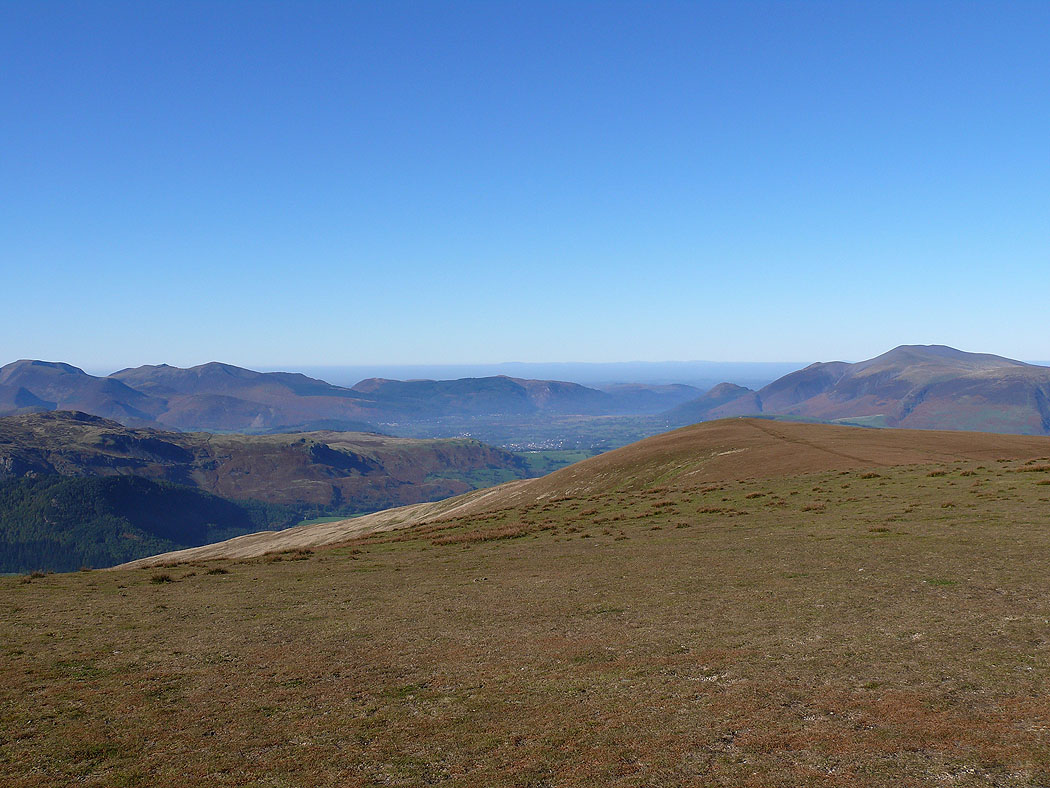
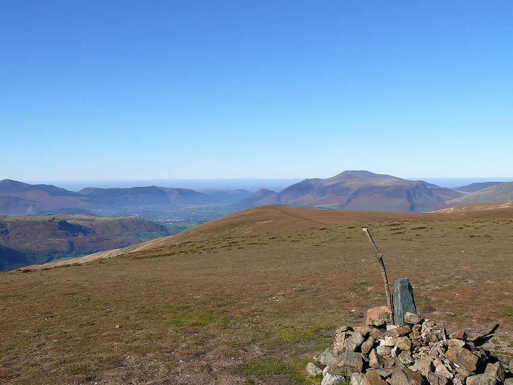
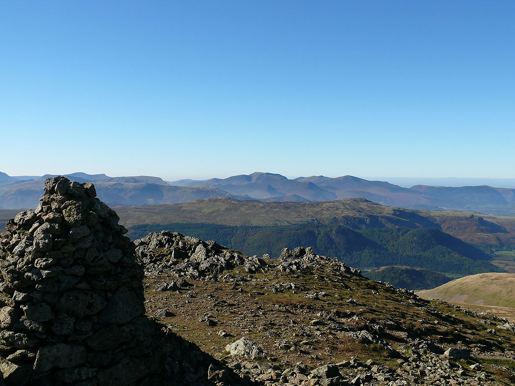
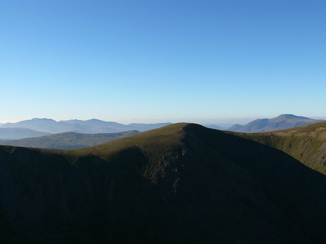
Skiddaw and Blencathra
Skiddaw from Stybarrow Dodd
Views from the summit of Raise. The Crinkle Crags, Bowfell, Esk Pike, Scafell Pike, Great Gable and Pillar.
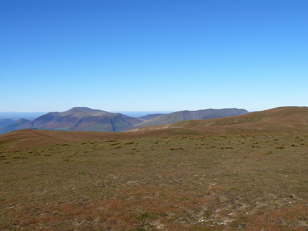
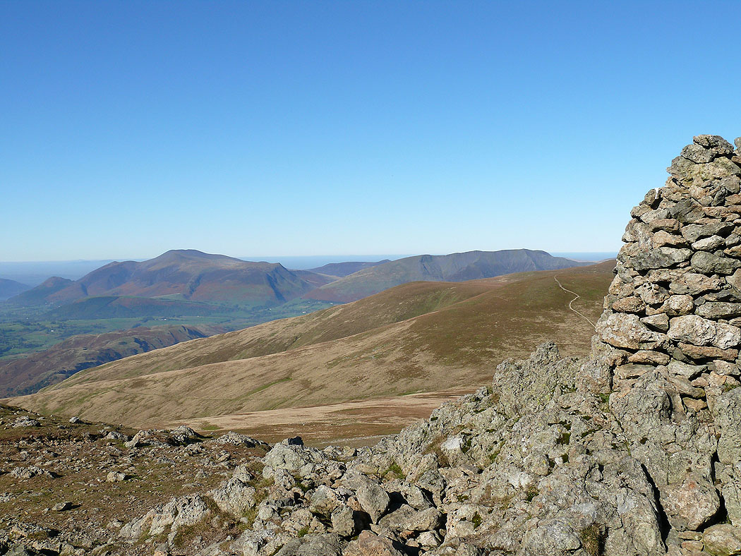
Skiddaw and Blencathra
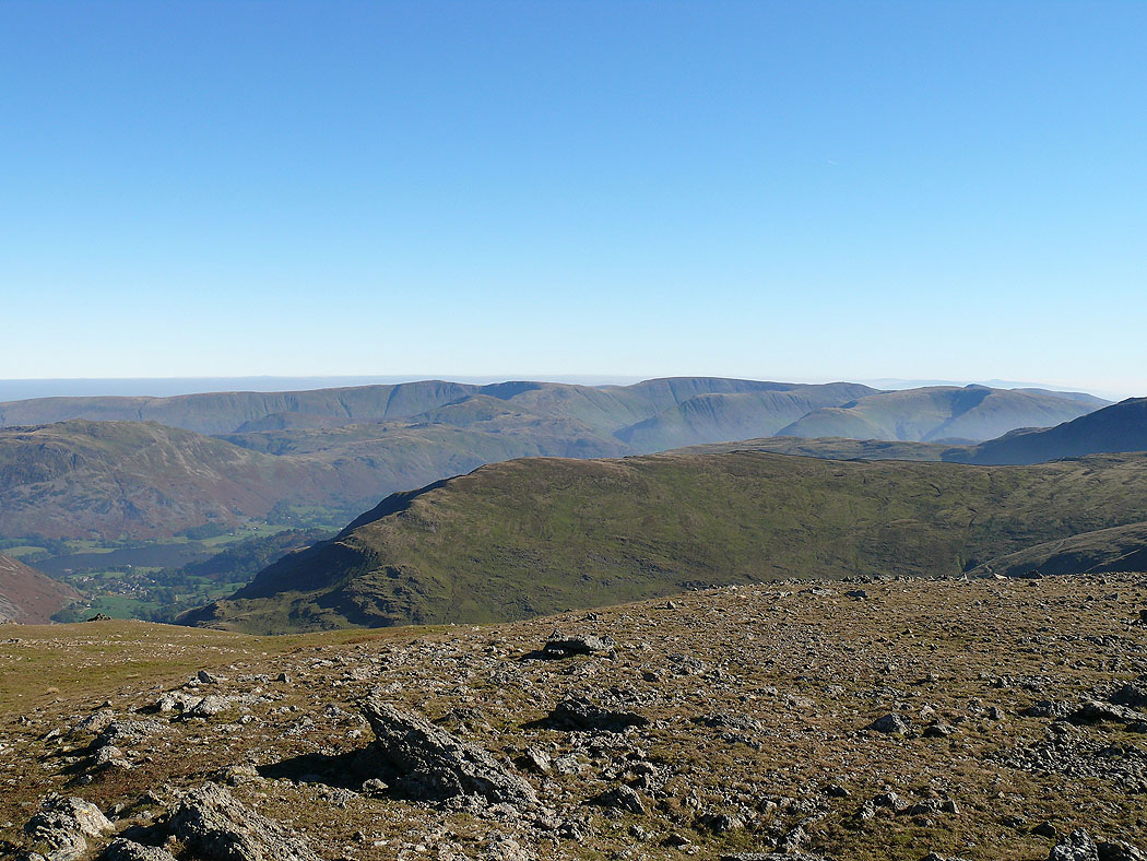
High Street and the far eastern fells
Sheffield Pike and Ullswater
Crag Hill, Grisedale Pike and the northwestern fells
Great Gable, Pillar and the High Stile range
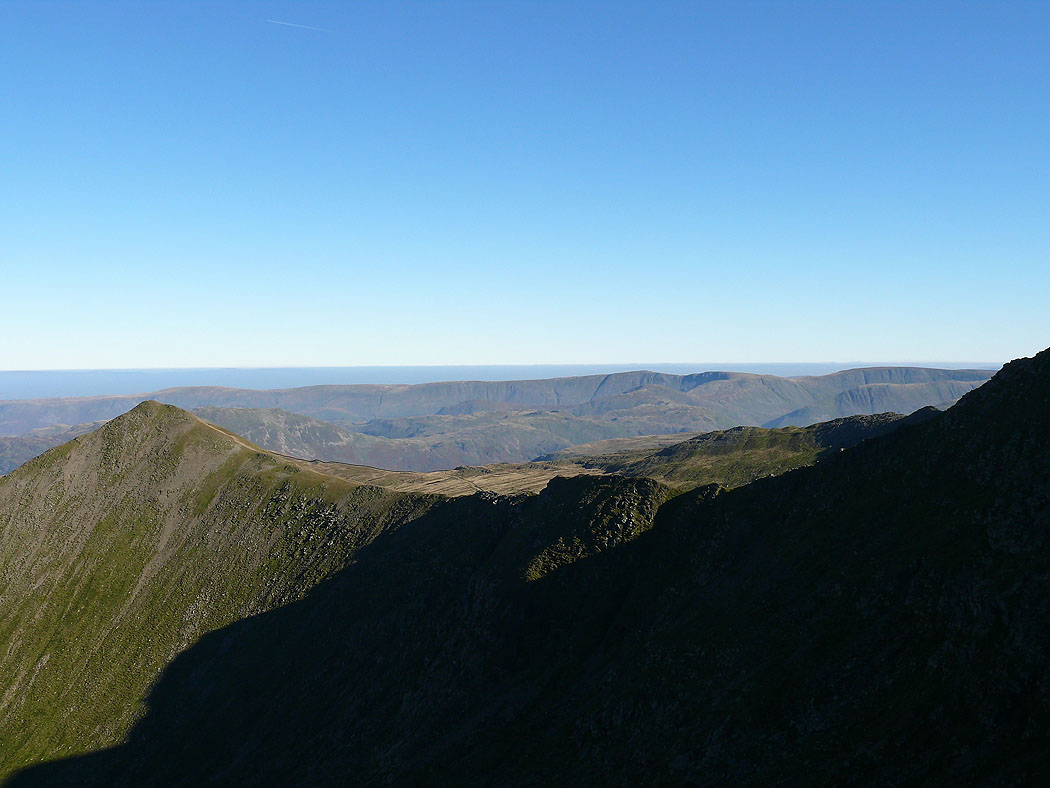
On Helvellyn Lower Man. Catstye Cam and Swirral Edge
Ullswater and Catstye Cam
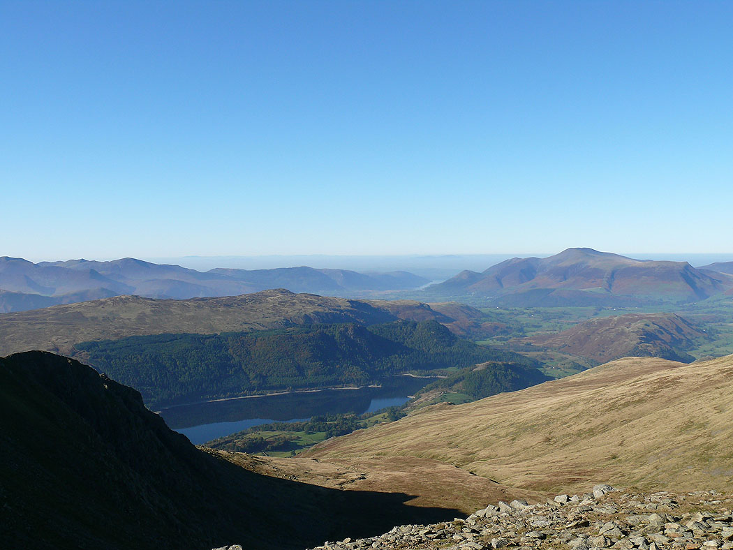
Grisedale Pike and Skiddaw with Thirlmere below
Skiddaw and Blencathra
The High Stile range, Crag Hill and Grisedale Pike over Browncove Crags
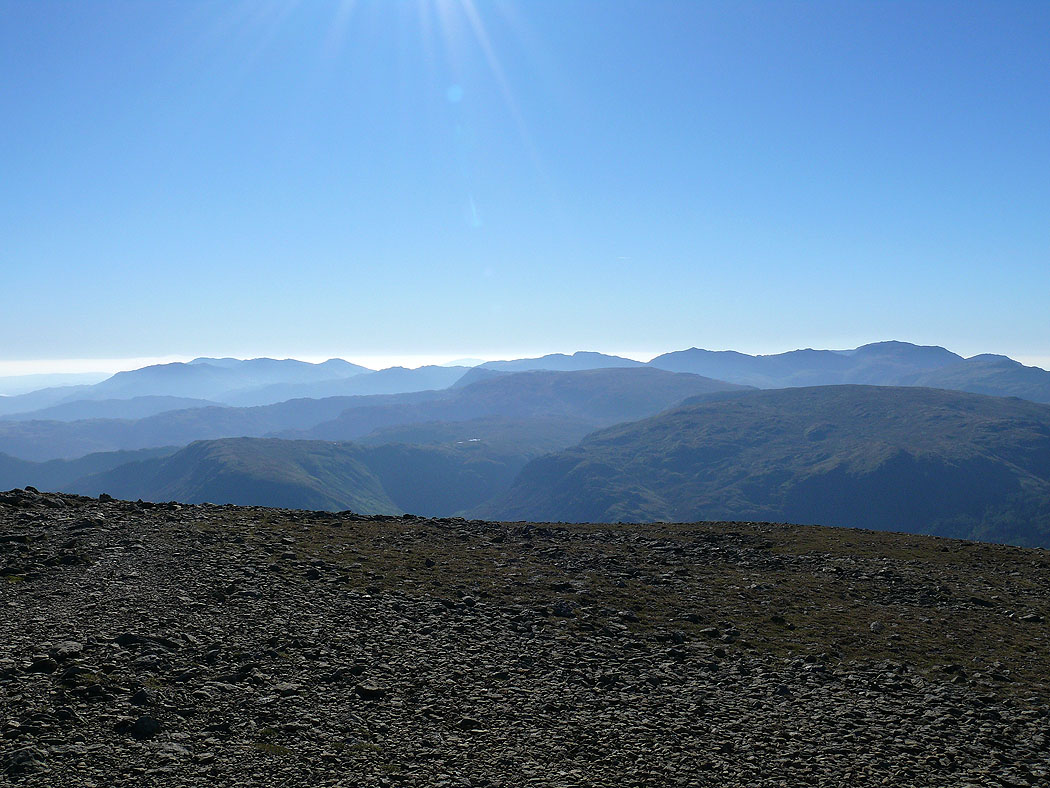
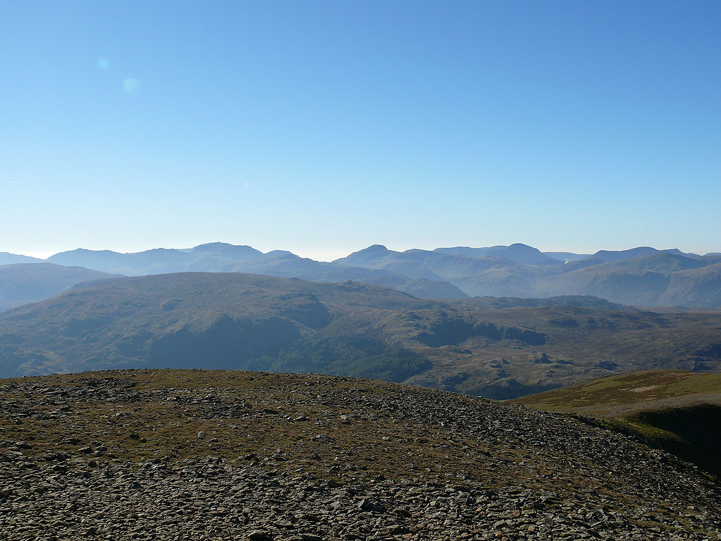
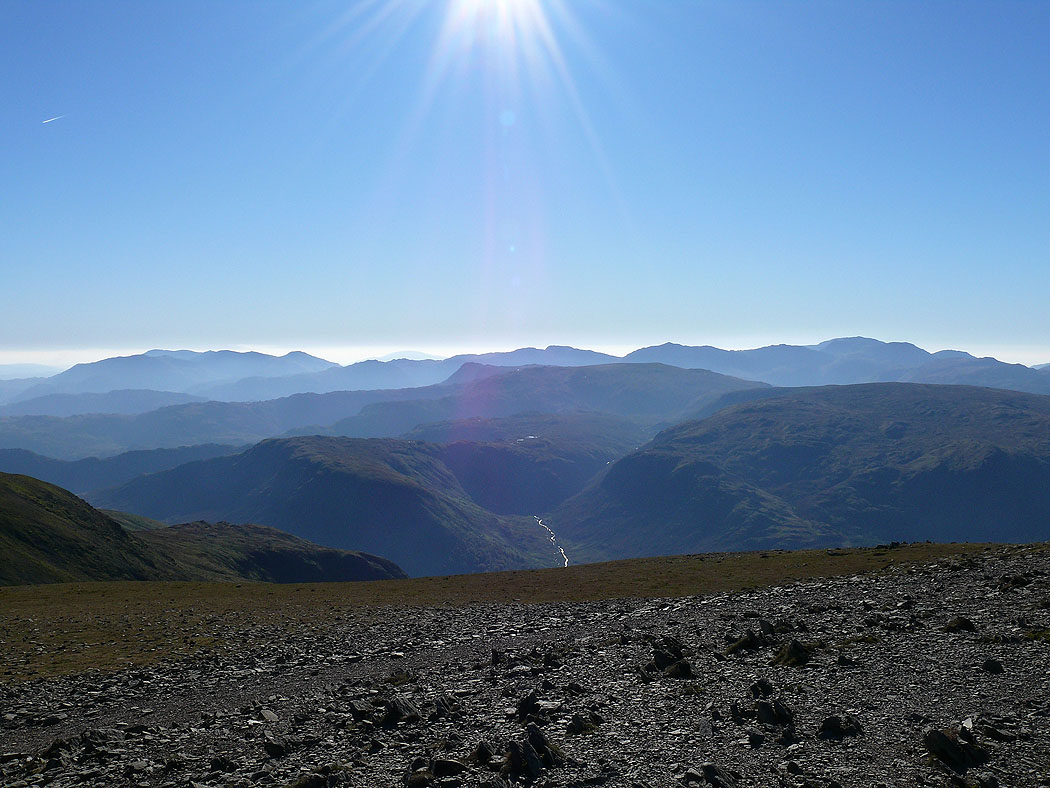
The Coniston fells, Crinkle Crags, Bowfell, Esk Pike and Scafell Pike
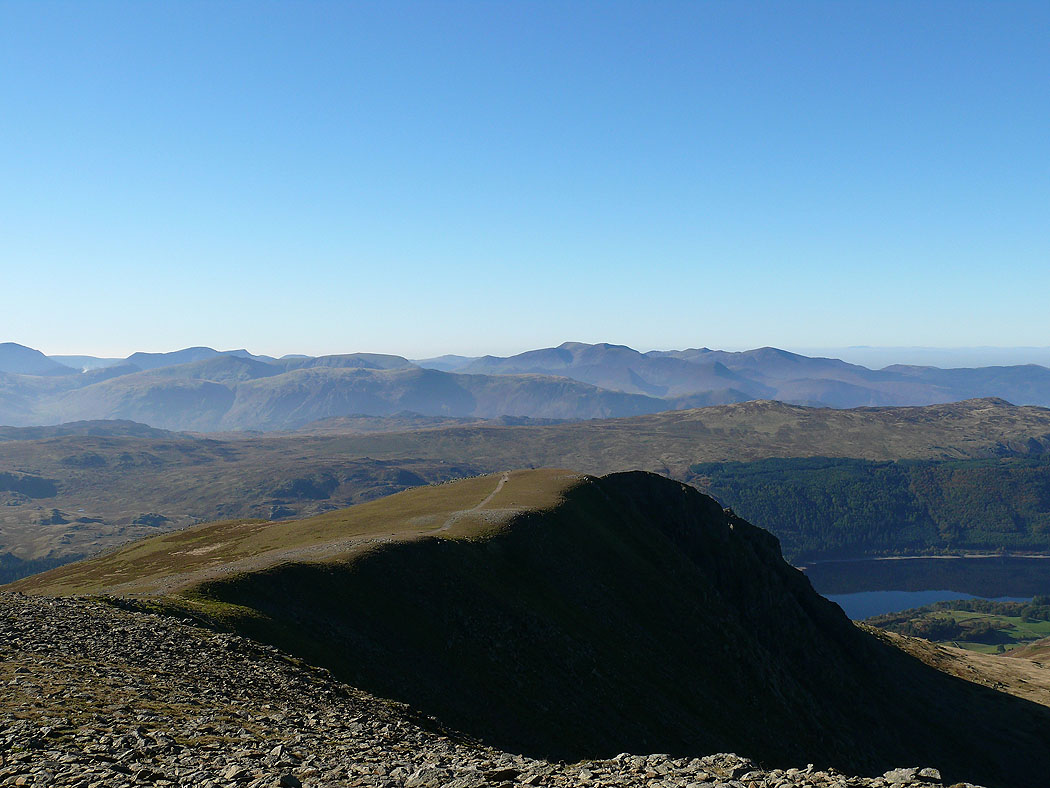
Bowfell, Esk Pike, Scafell Pike, Great Gable, Pillar and the High Stile range
On the summit of Helvellyn
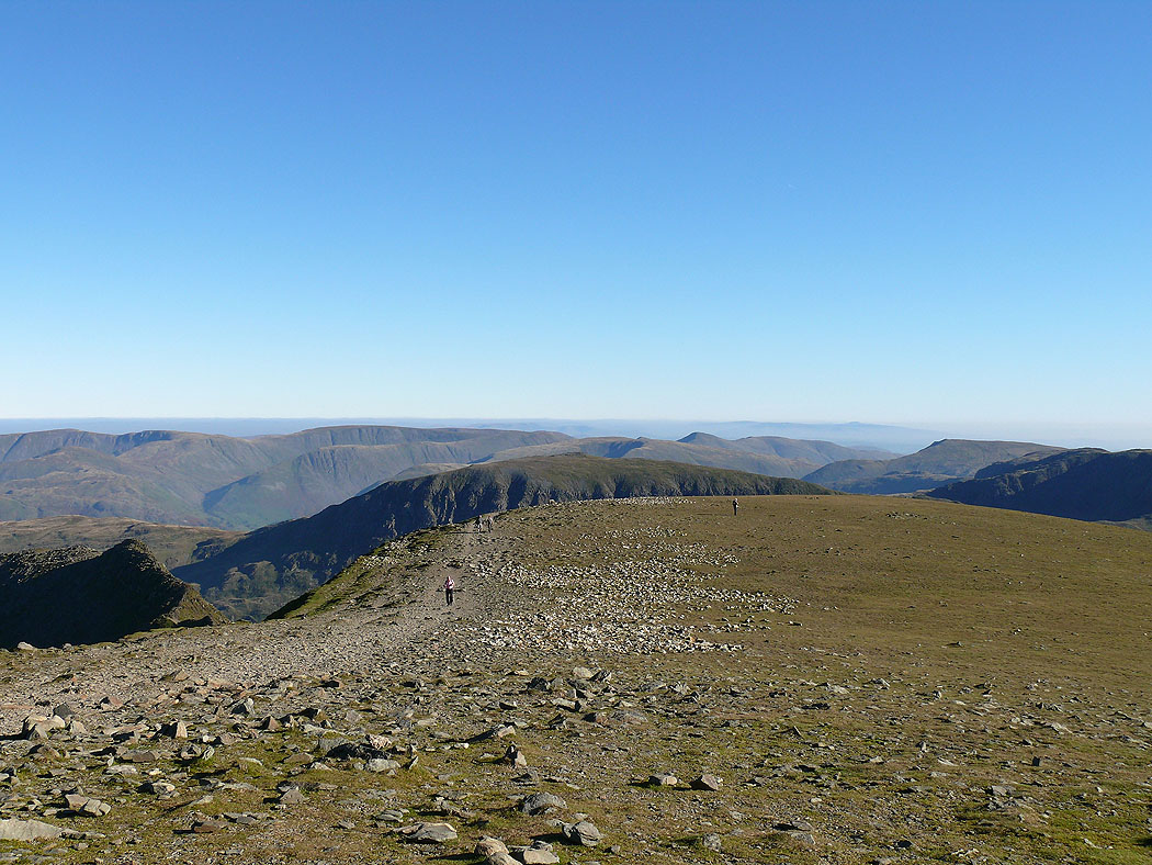
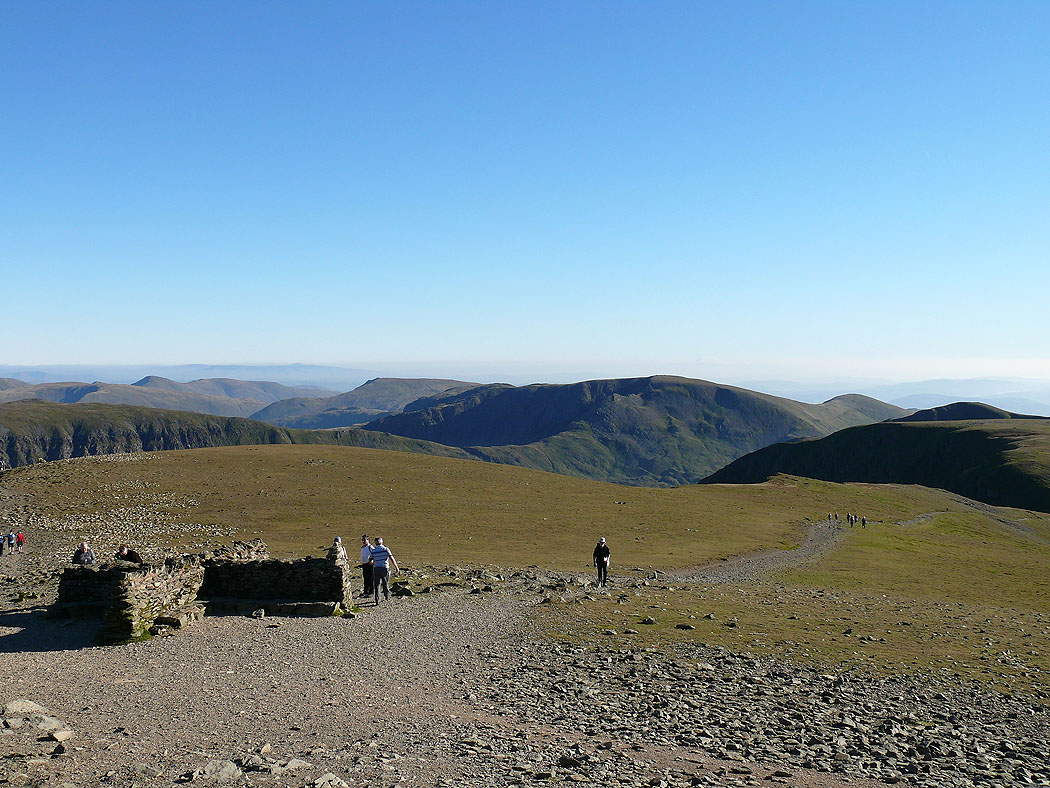
St. Sunday Crag and the far eastern fells
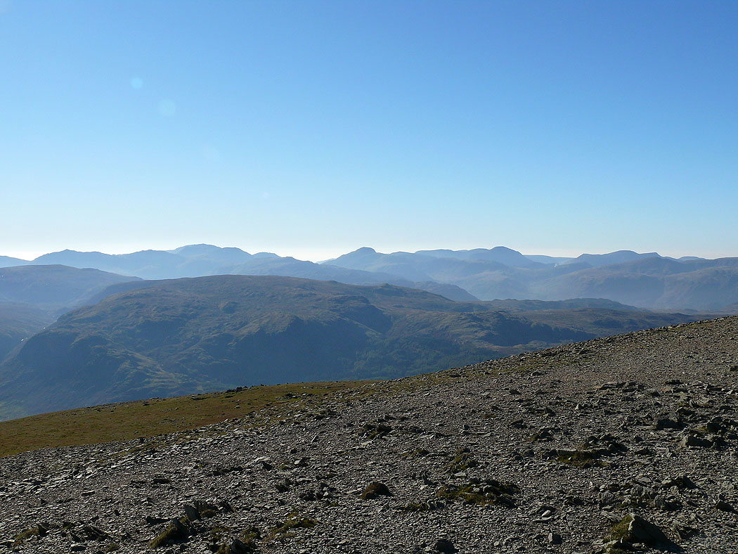
The Coniston fells, Crinkle Crags, Bowfell, Esk Pike and Scafell Pike
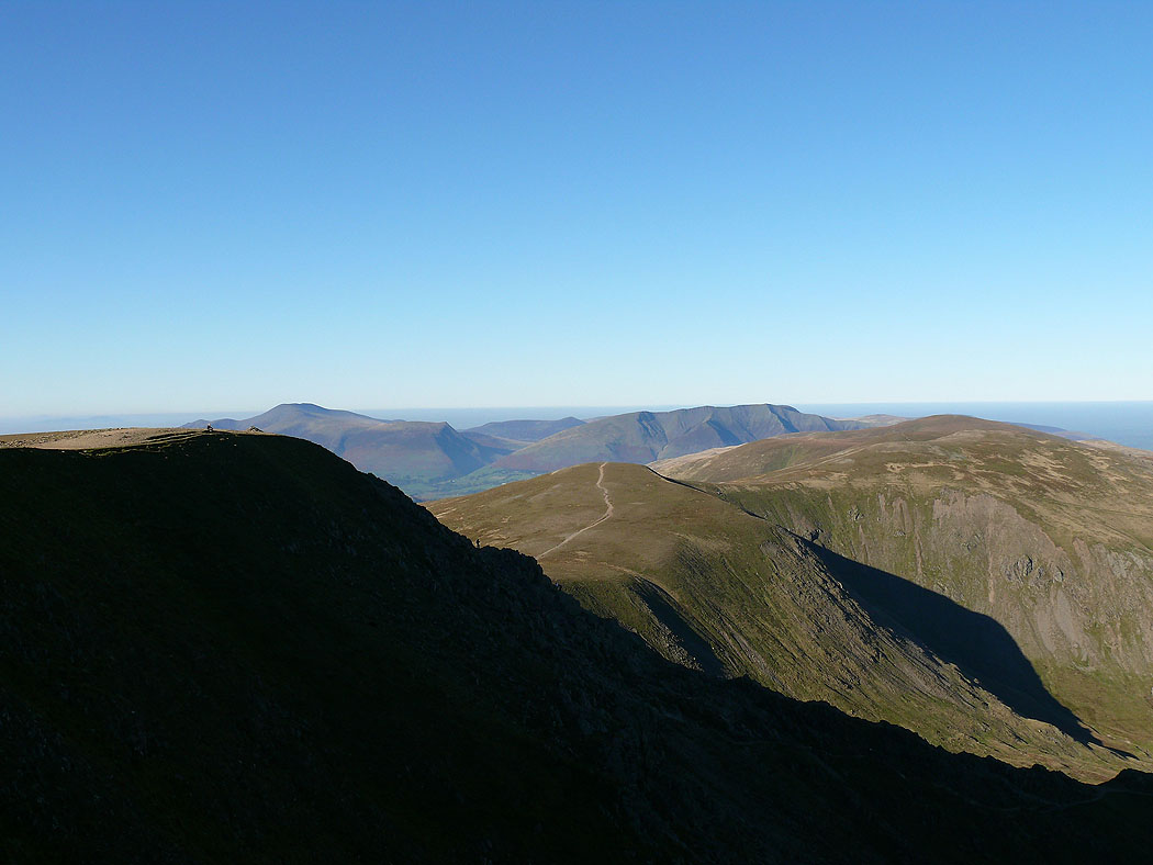
Skiddaw, Blencathra and the Dodds
Bowfell, Esk Pike, Scafell Pike, Great Gable, Pillar and the High Stile range
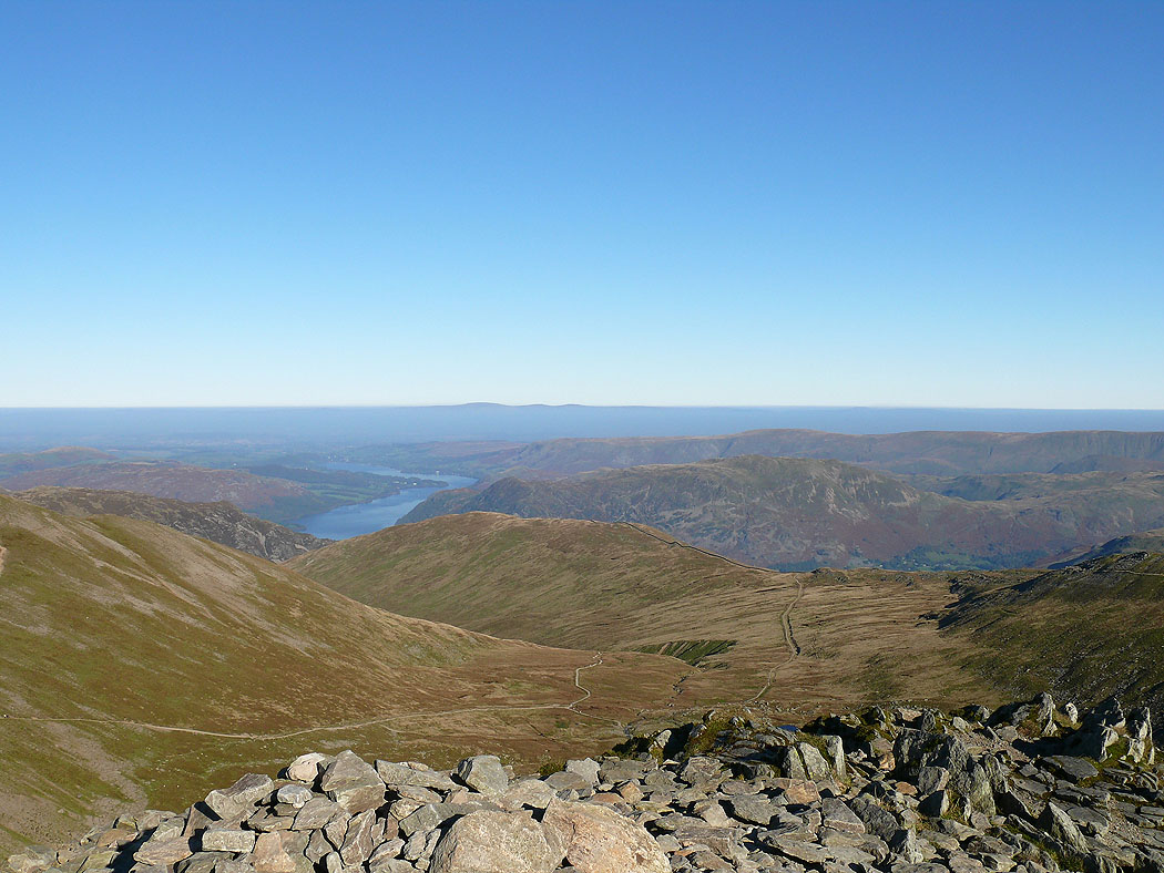
The view down to Birkhouse Moor and Ullswater
Fairfield and the summit cross shelter
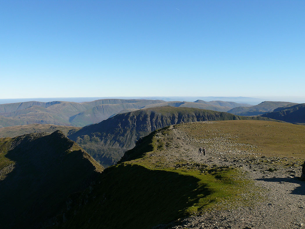
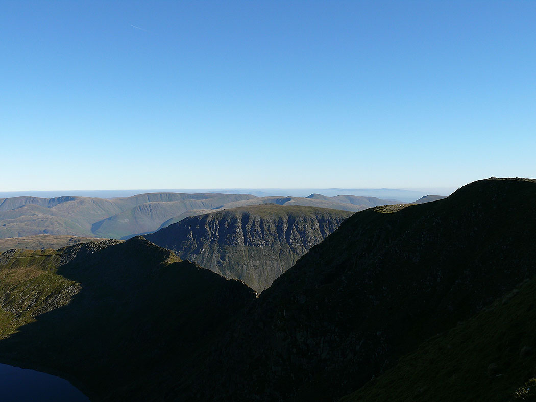
St. Sunday Crag over Striding Edge
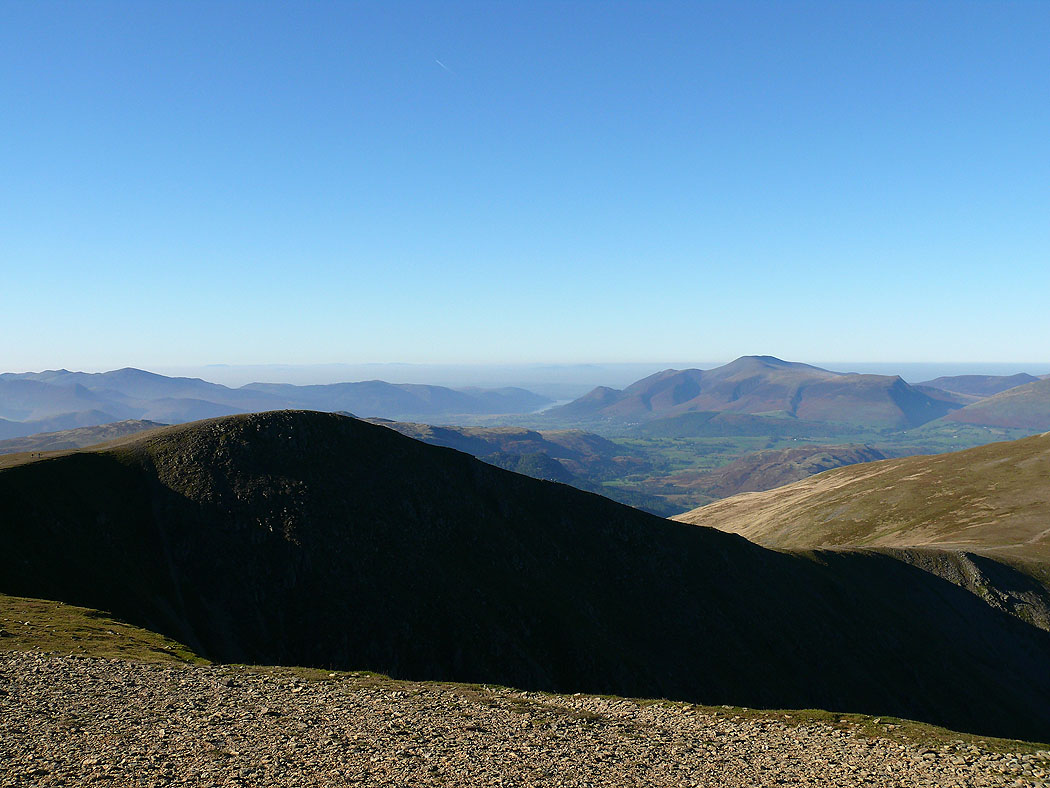
Helvellyn Lower Man and Skiddaw
Skiddaw, Blencathra and the Dodds
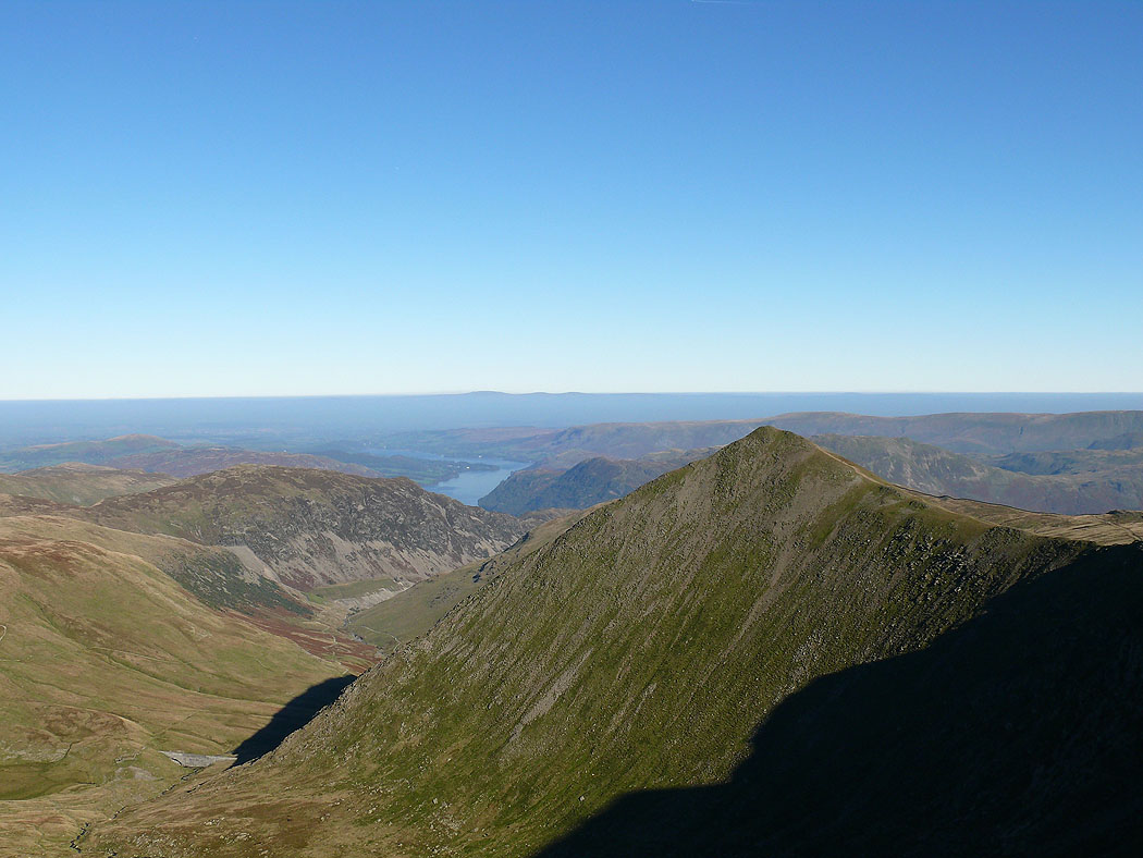
Ullswater from Catstye Cam
High Street and St. Sunday Crag
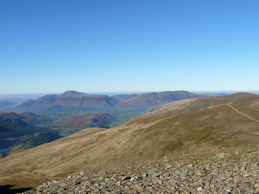
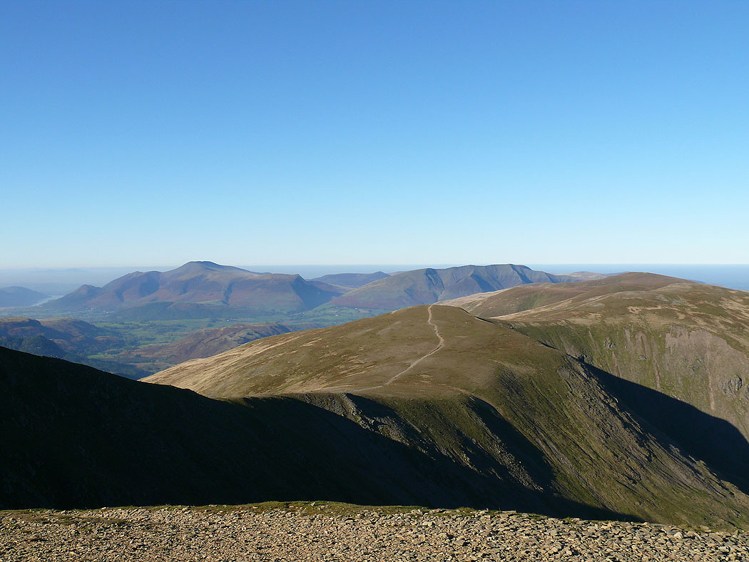
The last photo before I head back to Glenridding. The northwestern fells and Skiddaw with Whiteside in the foreground.
