11th October 2020 - Wild Boar Fell
Walk Details
Distance walked: 9.7 miles
Total ascent: 2226 ft
OS map used: OL19 - Howgill Fells & Upper Eden Valley
Time taken: 6 hrs
Route description: Cotegill Bridge on the B6259-Aisgill Farm-Mallerstang Common-Angerholme Pots-High Dolphinsty-Little Fell-High Dolphinsty-The Nab-Yoadcomb Scar-Wild Boar Fell-Sand Tarn-Wild Boar Fell-Swarth Fell-Swarth Fell Pike-Stubbing Rigg-Aisgill Moor Cottages-Cotegill Bridge on the B6259
At the time I had no idea that this would end up being the last walk that I would do a significant distance away from home for some time. The following week COVID-19 restrictions were imposed where I live that meant I had to stay in my local area, and then a new lockdown came into force on 5th November. I was in two minds about my destination for my walk this weekend, and I ended up going for Wild Boar Fell rather than Great Knoutberry Hill as it been more than four years since my last visit. I arrived in Mallerstang with cloud on the top of Wild Boar Fell, which I wasn't expecting, but this soon cleared to leave a fine autumn day with sunny spells and a chilly northeasterly breeze. With great visibility I enjoyed fantastic all round views from these fells across the Yorkshire Dales and to the Lake District.
Starting from a layby on the south side of Cotegill Bridge I set off by walking north along the road to Aisgill Farm. Here a gate on the left gave me access to a track that heads up to and under a viaduct to a gate in the intake wall. Once through I followed a reasonably clear path north in the grass above the intake wall to reach the limestone pavement of Angerholme Pots and then the bridleway up to High Dolphinsty. Here I turned right and made my way north to the summit of Little Fell before retracing my steps to High Dolphinsty to take the path up to The Nab on Wild Boar Fell and along the escarpment to Yoadcomb Scar. A shelter here proved useful for having lunch out of the wind. Lunch had, I made my way back to The Nab before heading up to the trig point on the summit. While I was here I had to see Sand Tarn, though it did mean climbing back up to the summit again afterwards. I then crossed the summit plateau to reach a fence and the path south down to Swarth Fell. After having a final break on Swarth Fell's summit I continued south to Swarth Fell Pike before starting my descent into Mallerstang. I aimed for Aisgill Moor Cottages on the Mallerstang road and the bit of hillside that's marked on the map as Stubbing Rigg. The going was pretty boggy in places but nothing that can't be gotten around. On making it down to Aisgill Moor Cottages I had a short walk north along the road back to Cotegill Bridge.
Route map
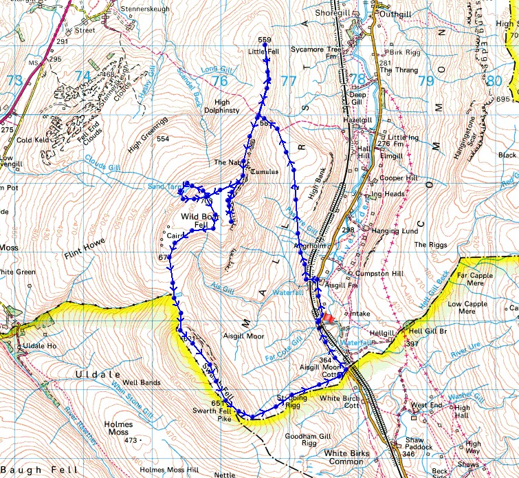
© Crown copyright. All rights reserved. License number PU 100034184.
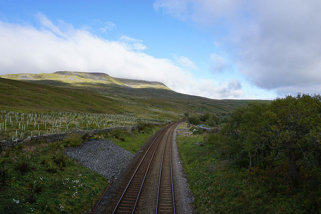
Cloud touches the top of Wild Boar Fell as I cross the Settle to Carlisle line by Cotegill Bridge
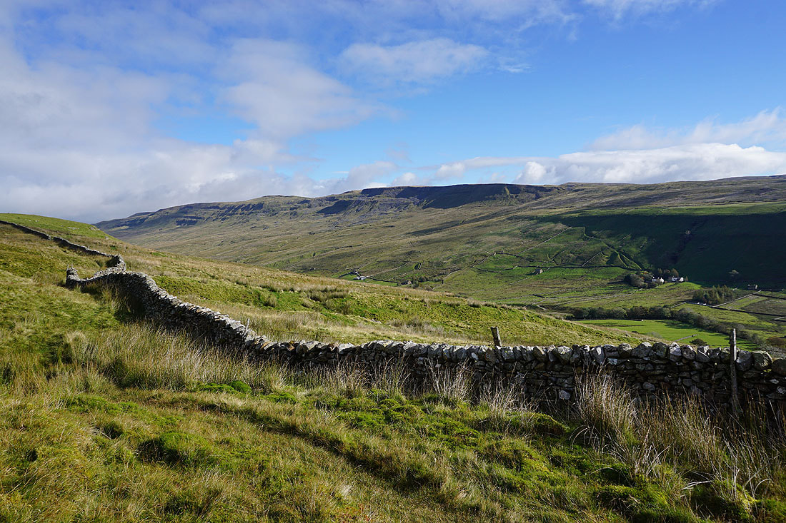
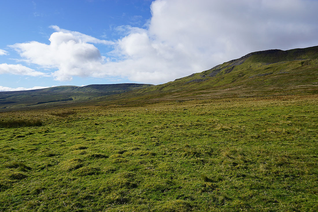
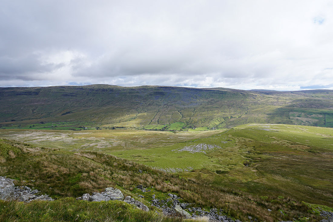
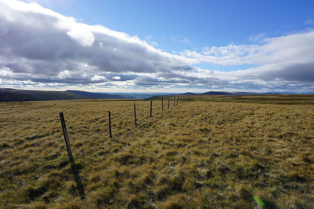
Hangingstone Scar on the other side of Mallerstang as I head north across Mallerstang Common
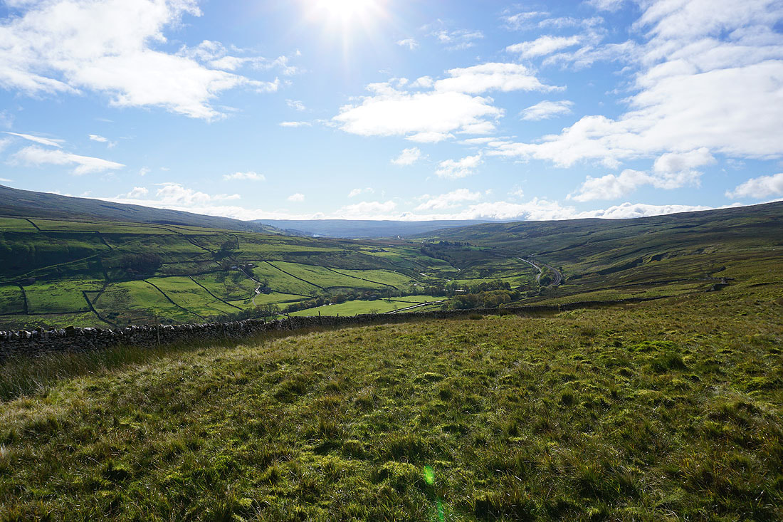
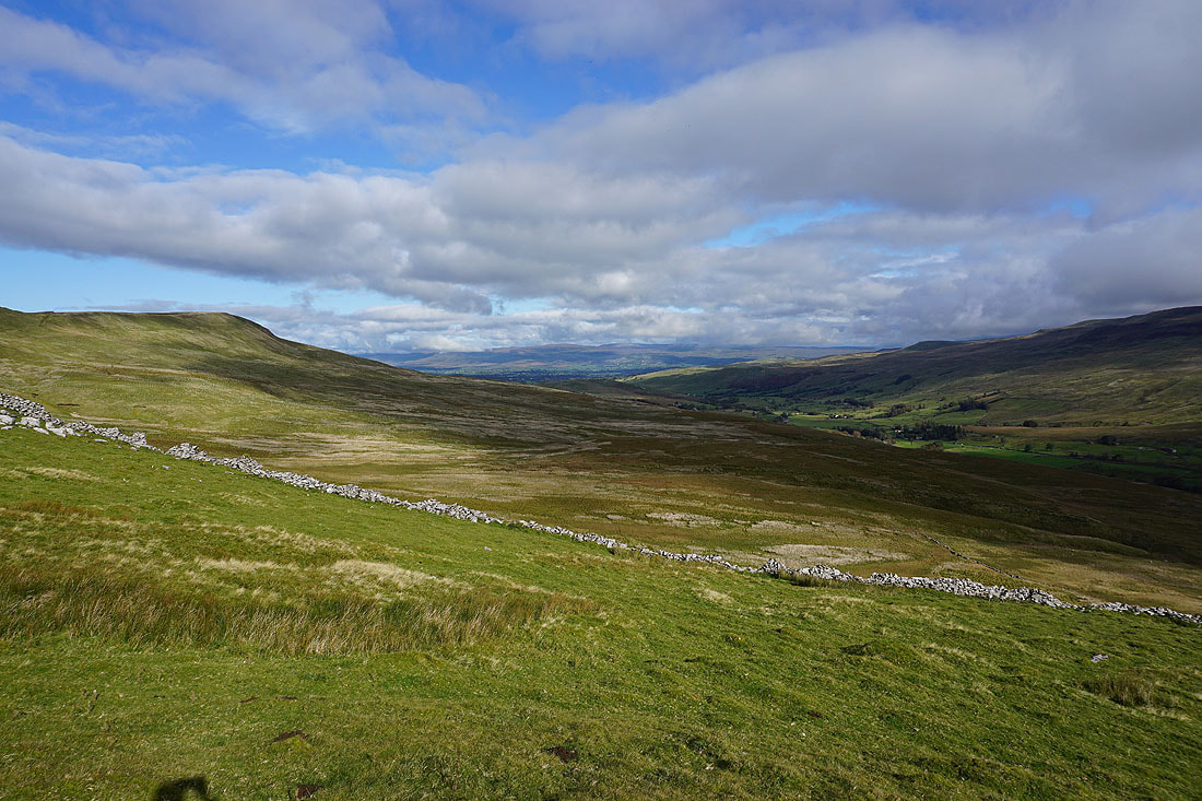
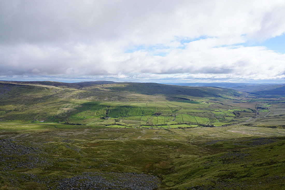
Looking south up Mallerstang towards Garsdale Head
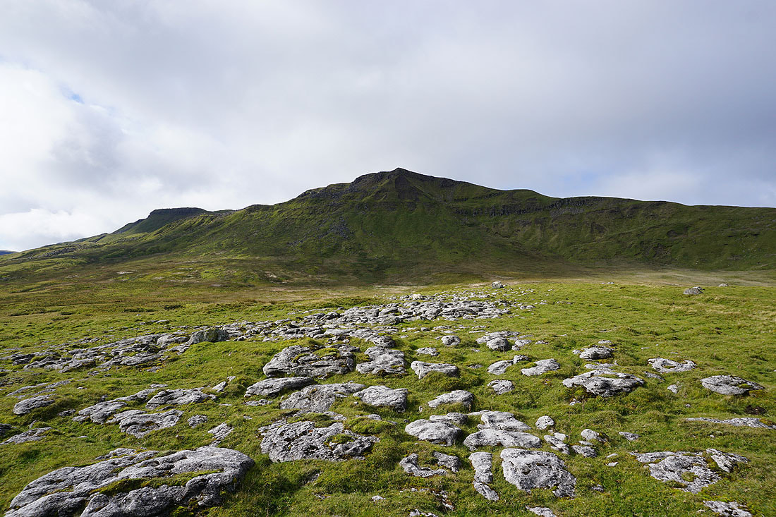
Beneath The Nab on Wild Boar Fell
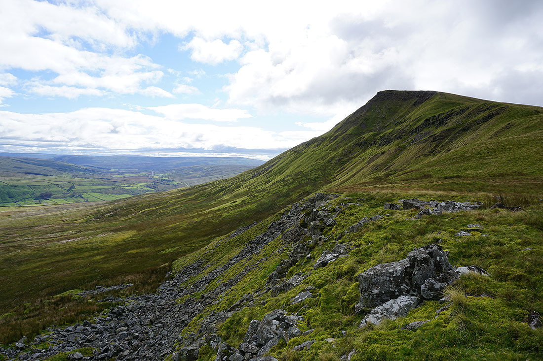
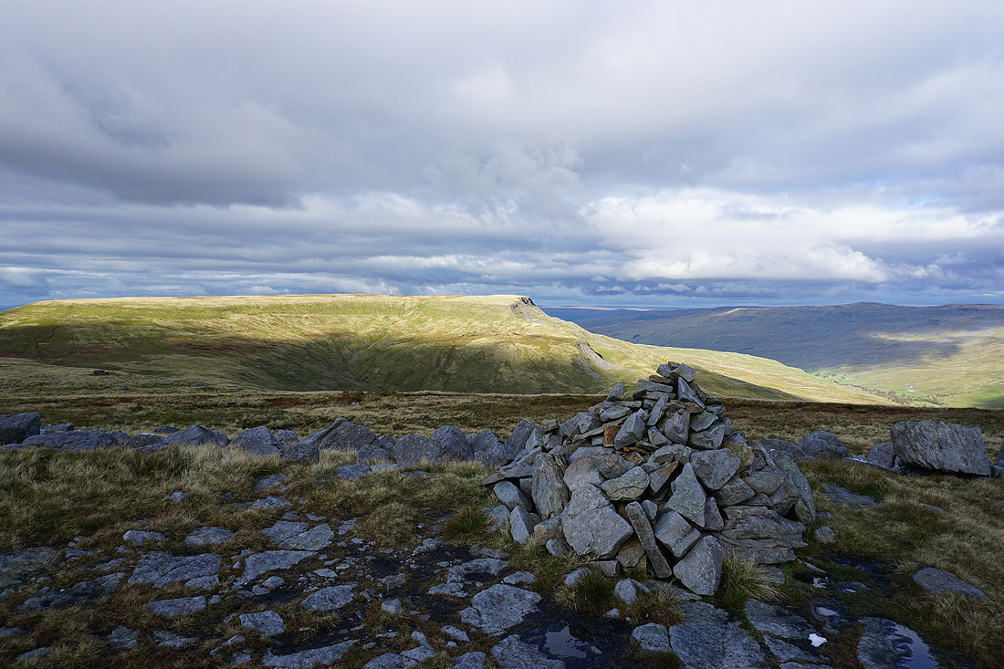
Swarth Fell and Yoadcomb Scar on Wild Boar Fell
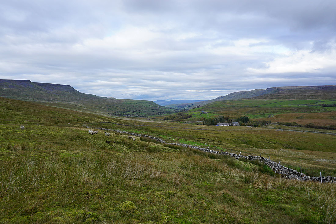
Looking down Mallerstang with the North Pennines in the distance
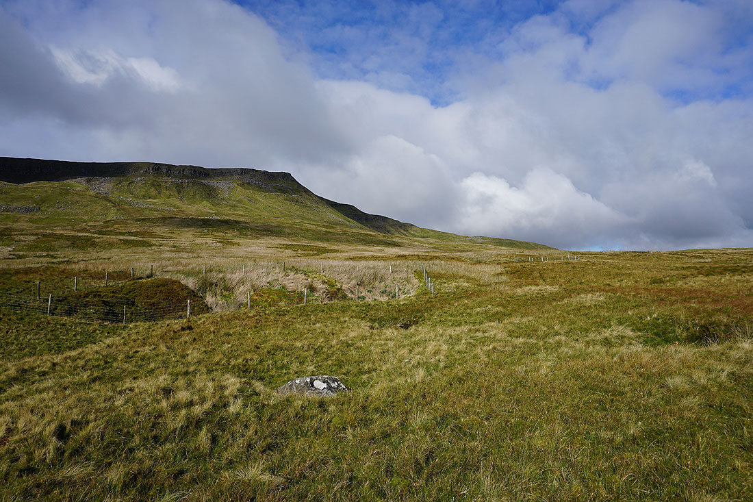
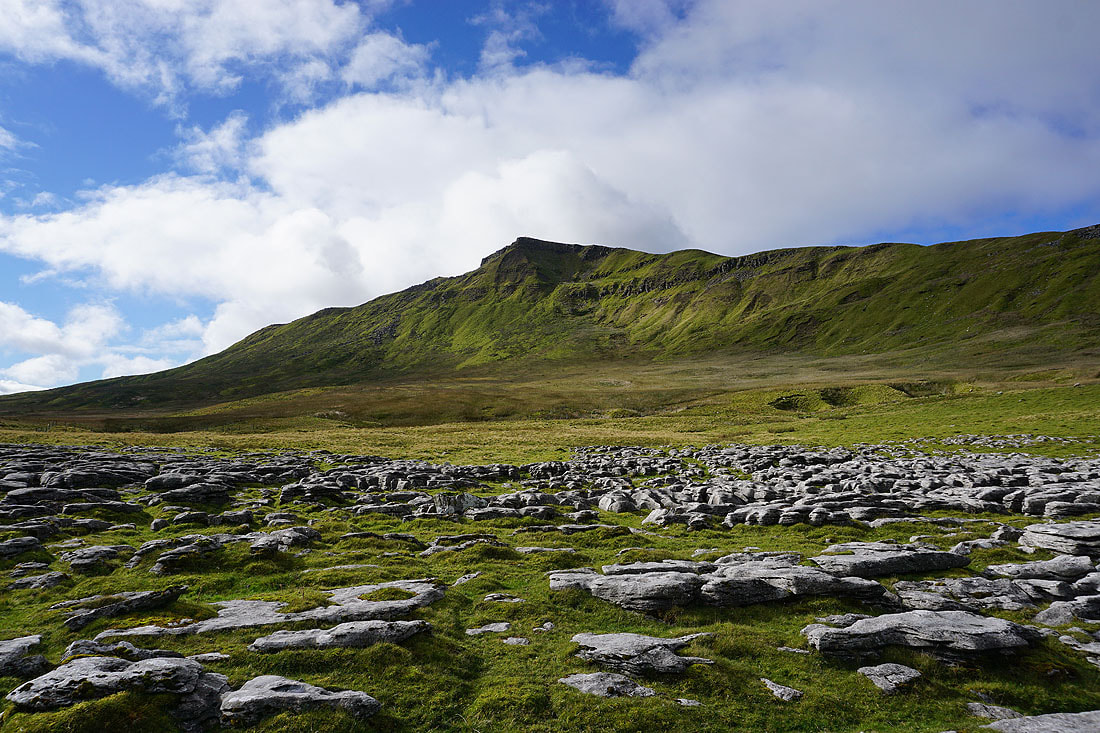
The Nab from Angerholme Pots..
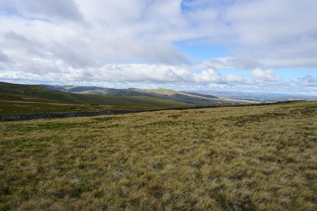
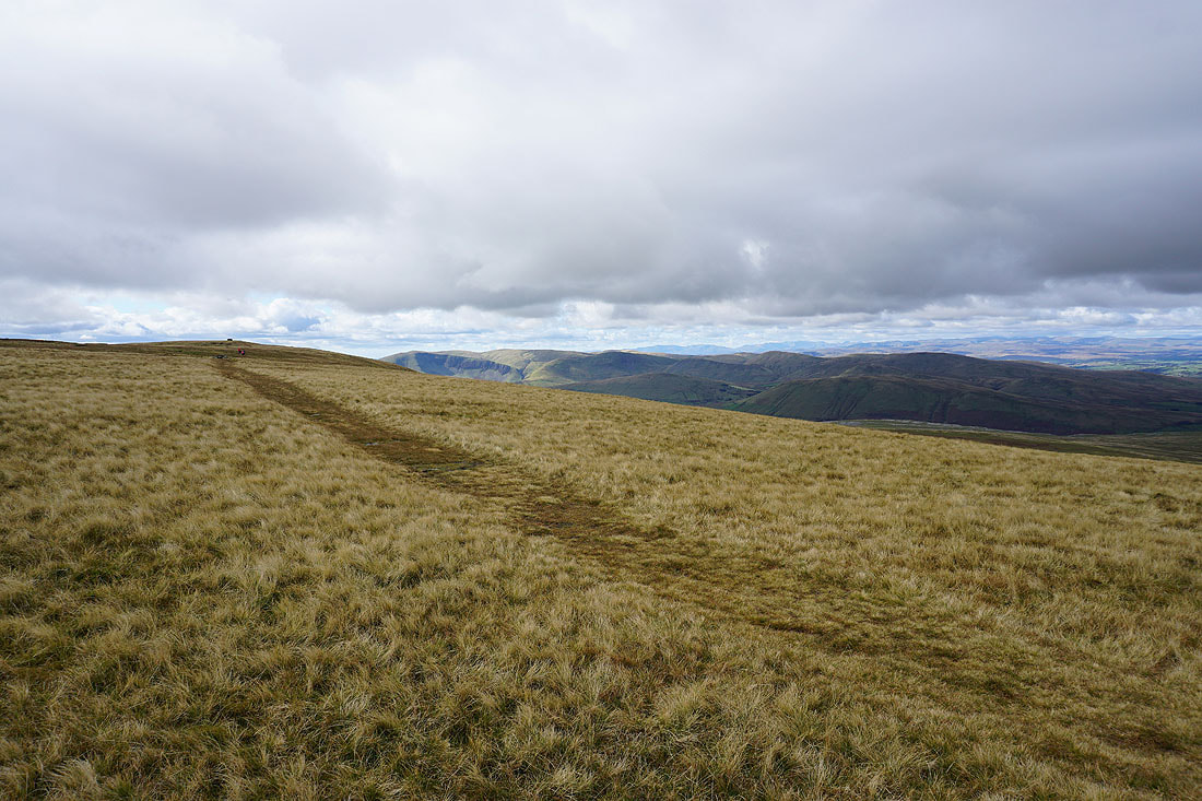
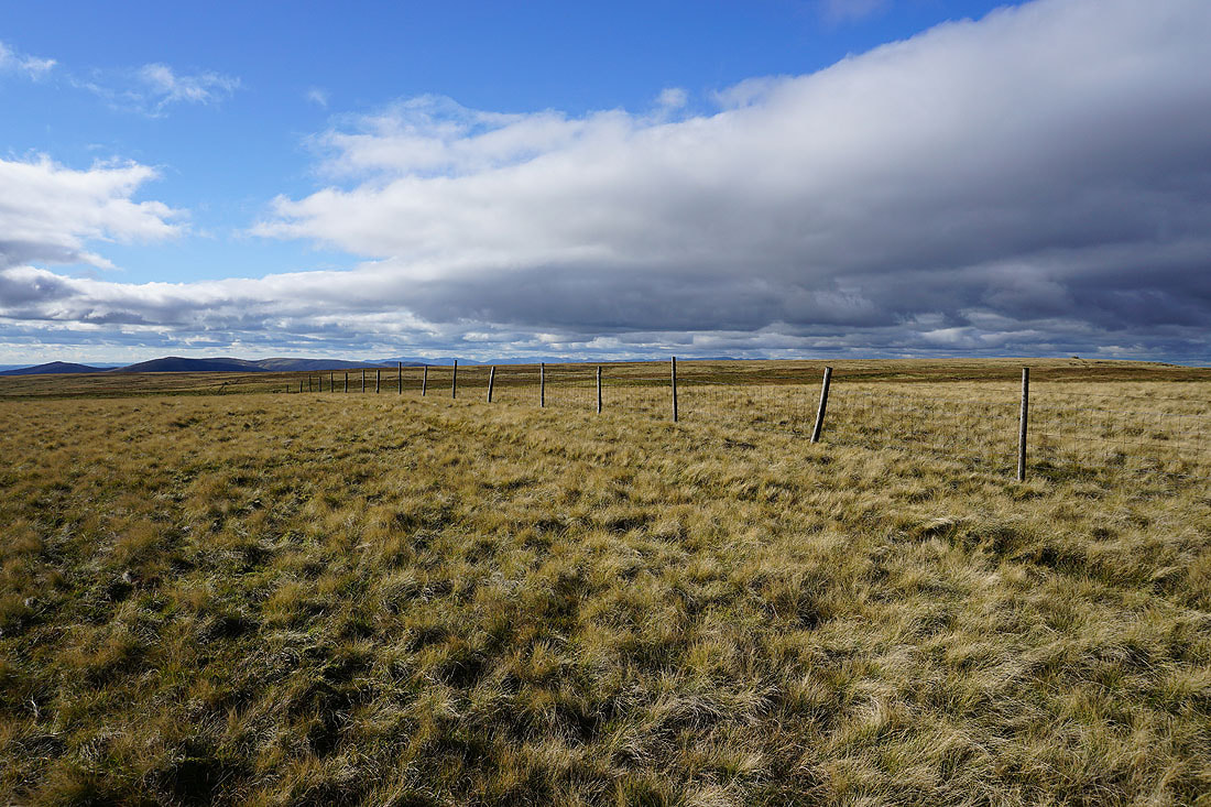
As I reach High Dolphinsty the view to the northwest opens up, with the northeastern corner of the Lake District in the far distance beyond the countryside around Ravenstonedale and the valley of the infant River Lune
Heading north to Little Fell
Looking back to Wild Boar Fell
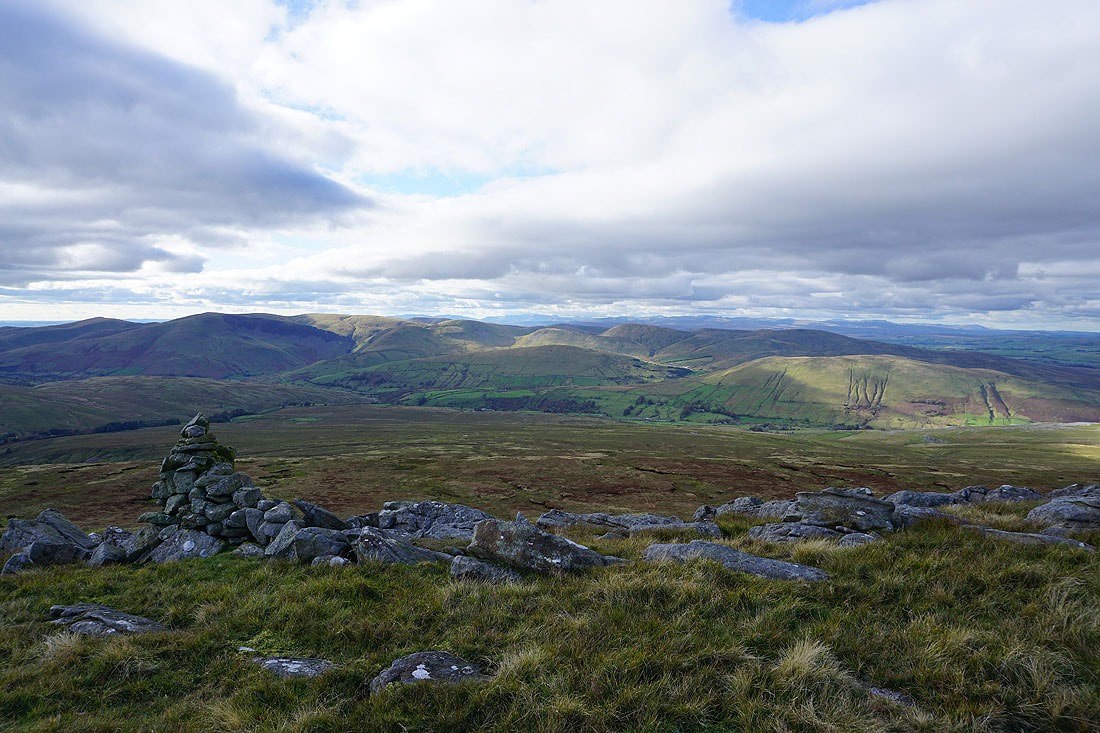
The Eden Valley and the North Pennines from the summit of Little Fell
The eastern half of the Howgills beyond the nearby slopes of Wild Boar Fell
Heading up to The Nab on Wild Boar Fell
High Seat and Hangingstone Scar on the other side of Mallerstang
On The Nab with Little Fell to the north
The Howgills along with the path up to the trig point
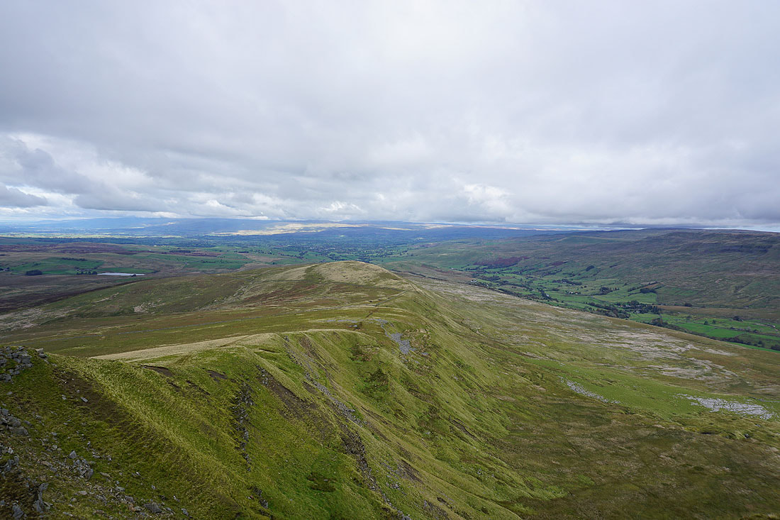
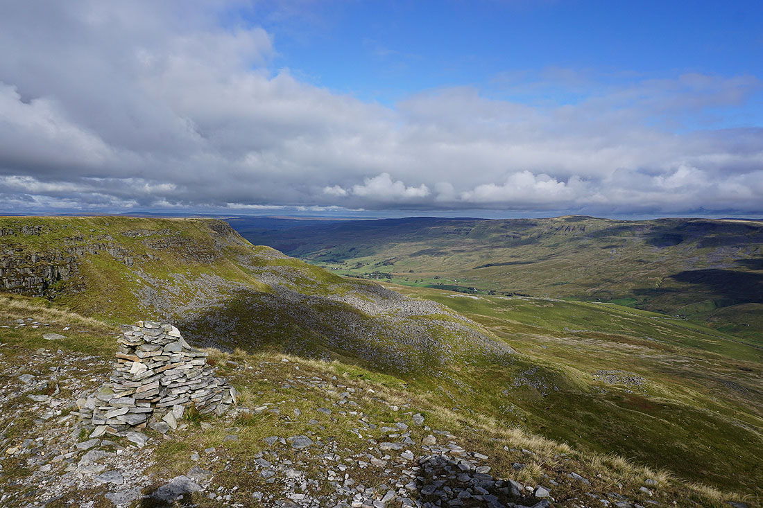
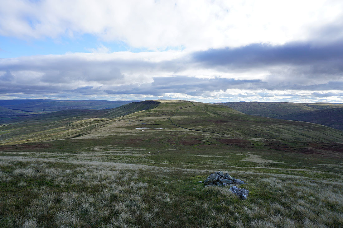
The best view from The Nab is looking south along Yoadcomb Scar with Ingleborough and Whernside in the distance
Looking south up Mallerstang to Garsdale Head, with the fells in the distance including Great Whernside and Penyghent
and across Mallerstang to Abbotside Common, Great Shunner Fell and Lunds Fell
On Yoadcomb Scar with Blackbed Scar on the left and High Seat on the other side of Mallerstang
Definitely my favourite photo of the day. Looking south from Yoadcomb Scar and I can easily make out Penyghent, Ingleborough and Whernside, and even Pendle Hill through the gap in the hills of Ribblesdale.
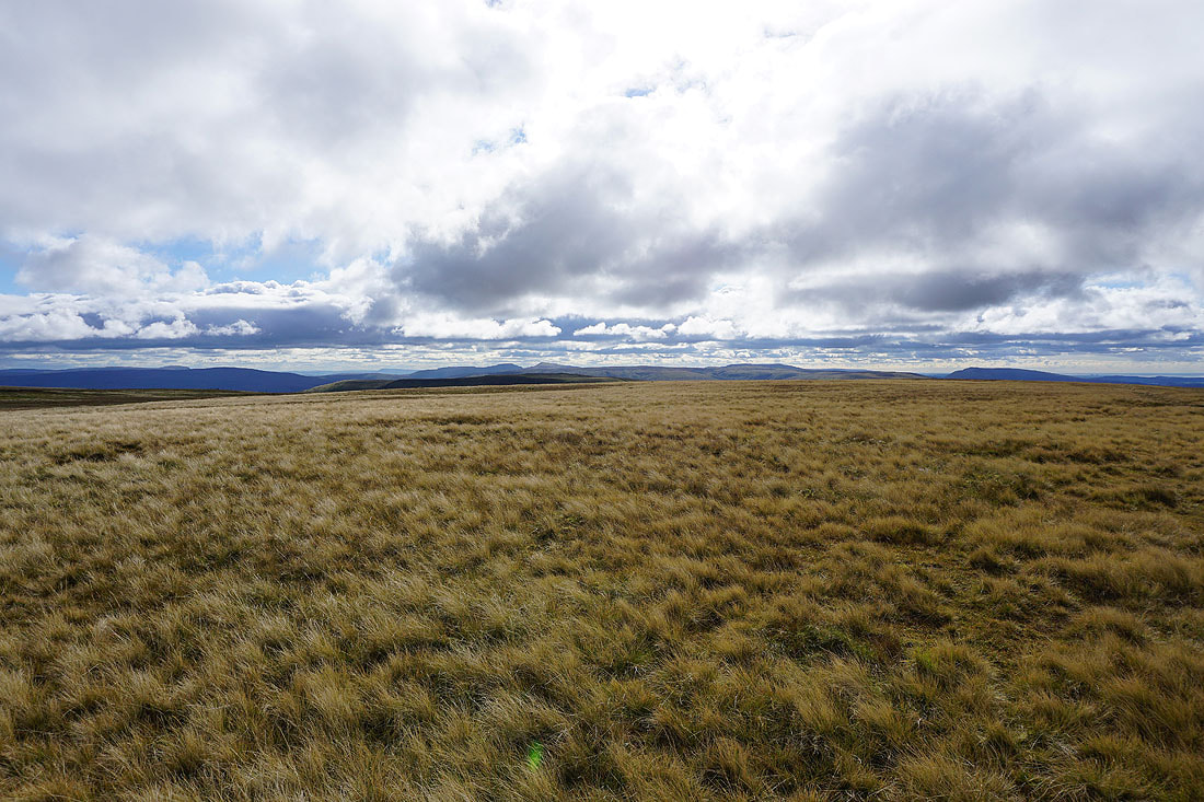
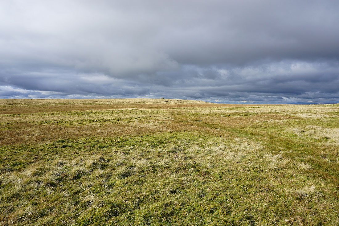
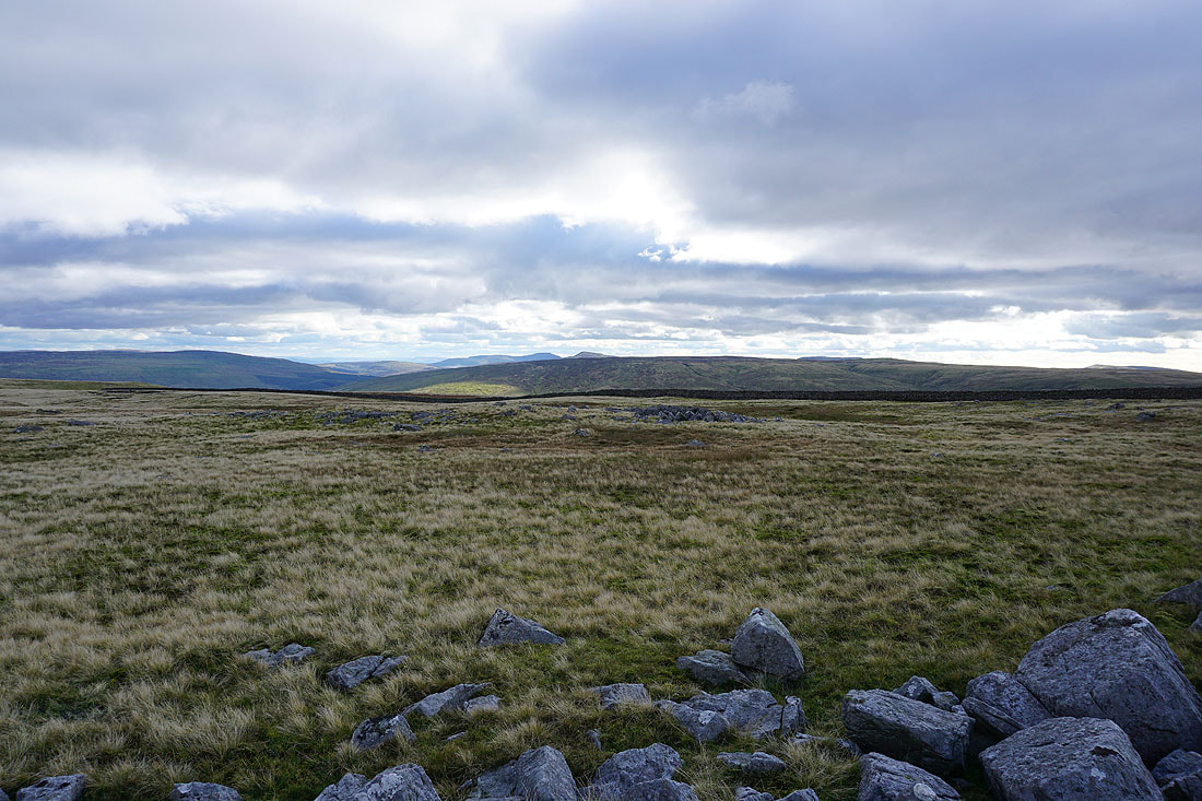
Sunlit moorland slopes and a great light
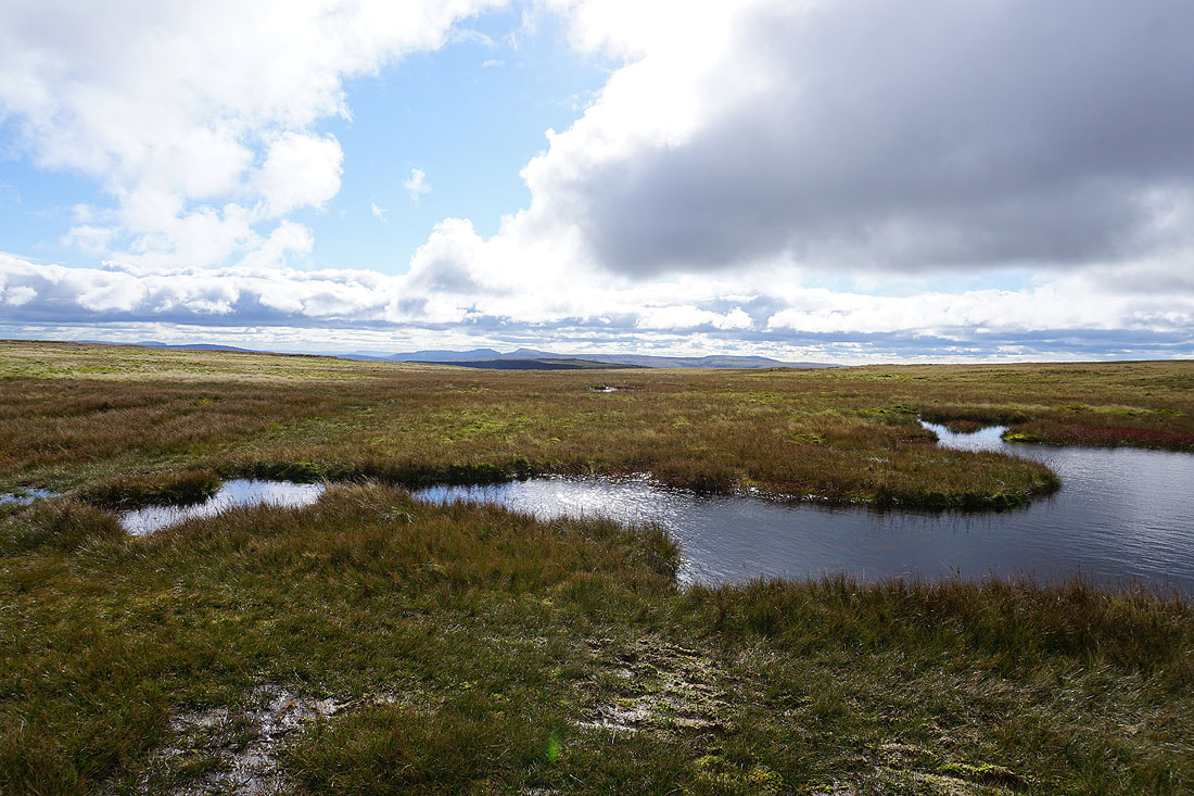
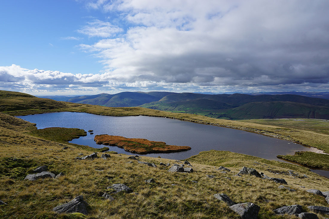
Along with moorland pools
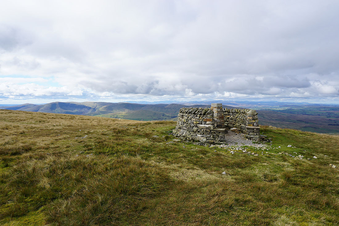
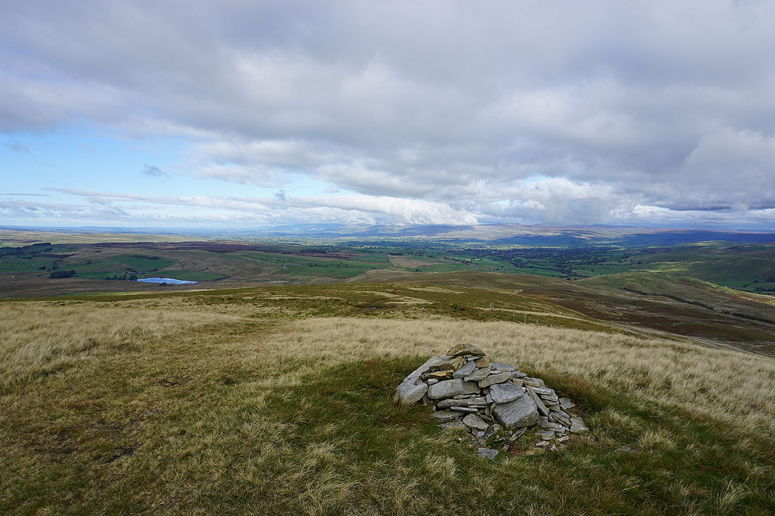
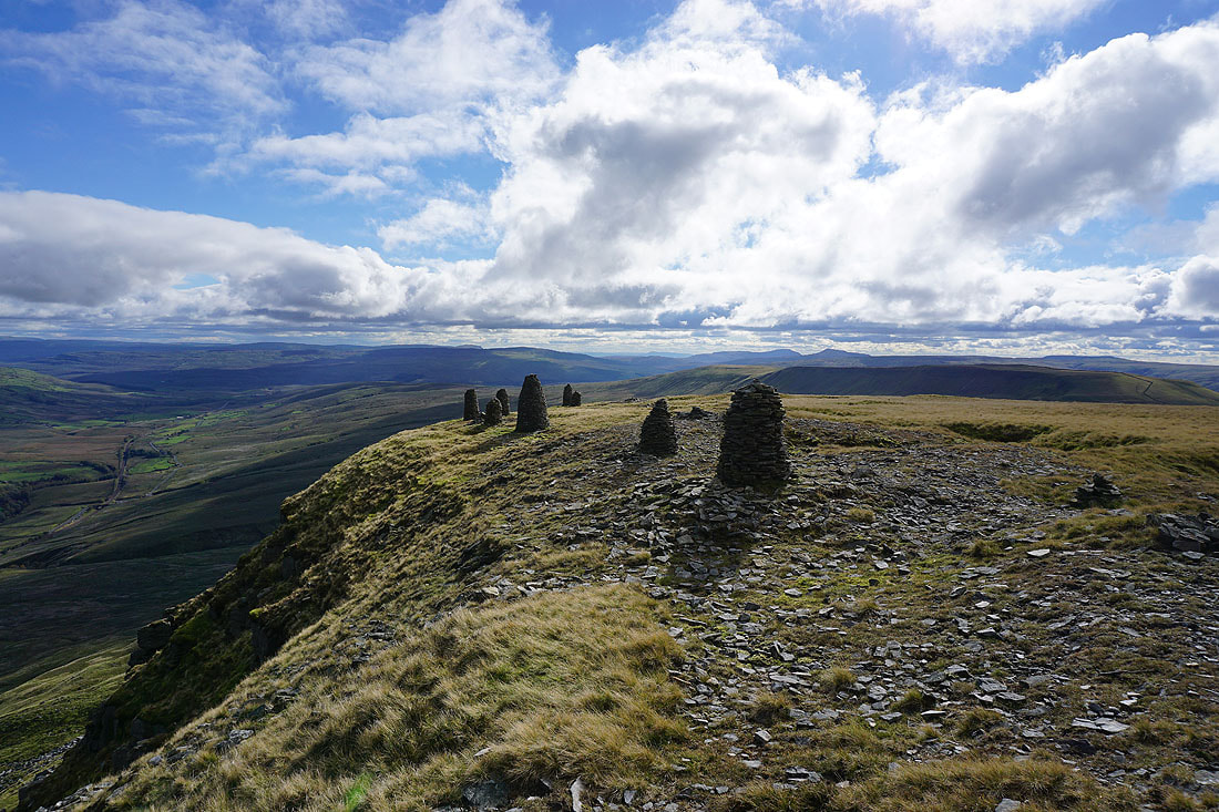
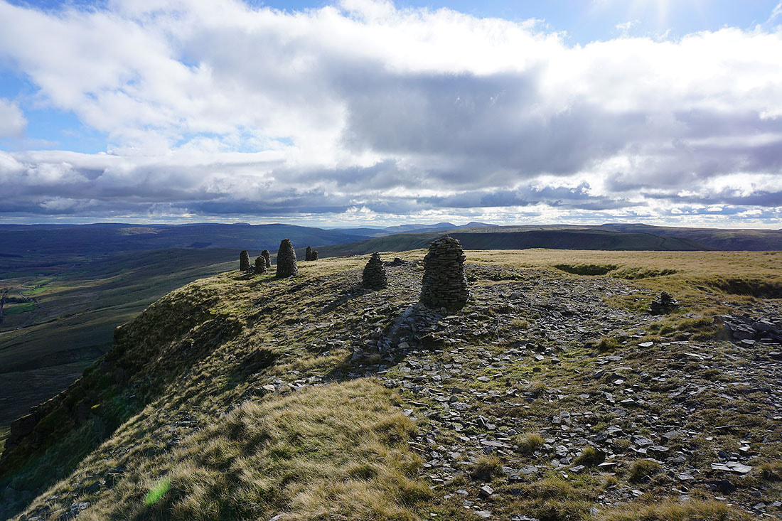
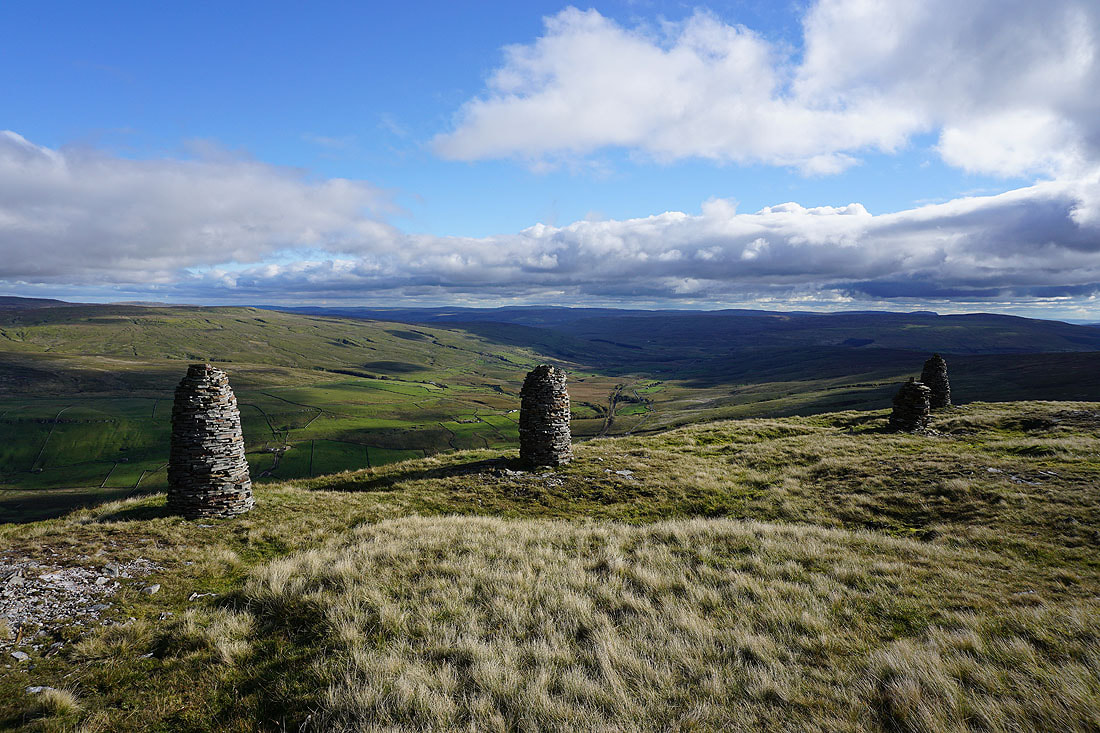
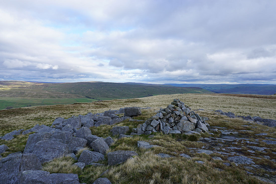
At the recently rebuilt trig point and shelter on Wild Boar Fell
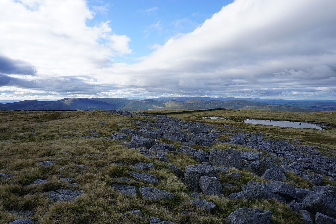
The Howgills and distant Lake District fells
Penyghent, Great Knoutberry Hill, Ingleborough, Whernside, Baugh Fell, Great Coum and Middleton Fell
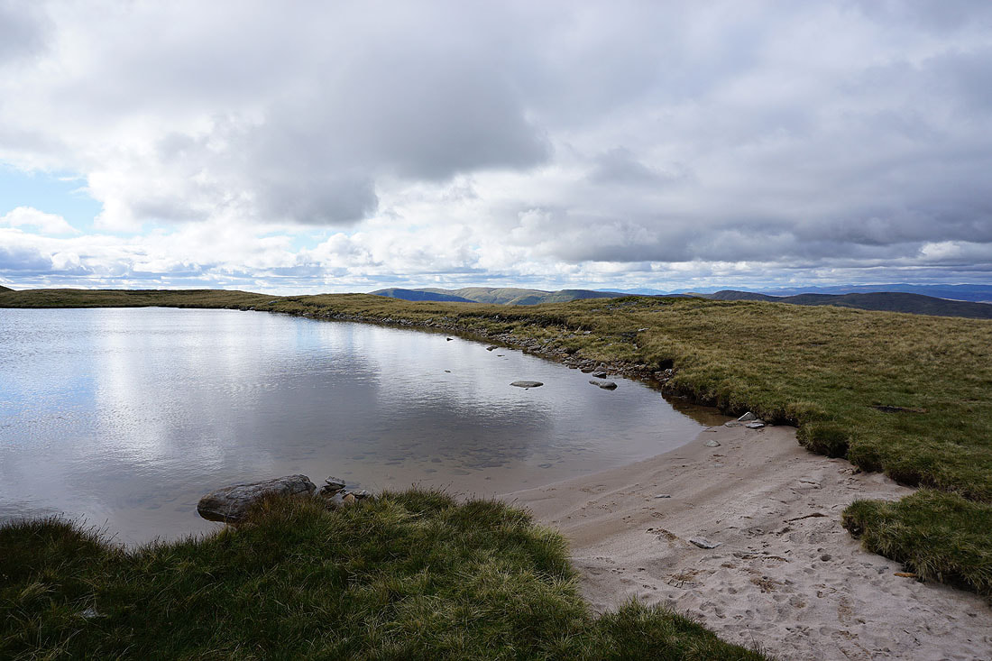
A descent from the trig point has brought me to the sandy shore of Sand Tarn
The Eden Valley and the North Pennines in the distance
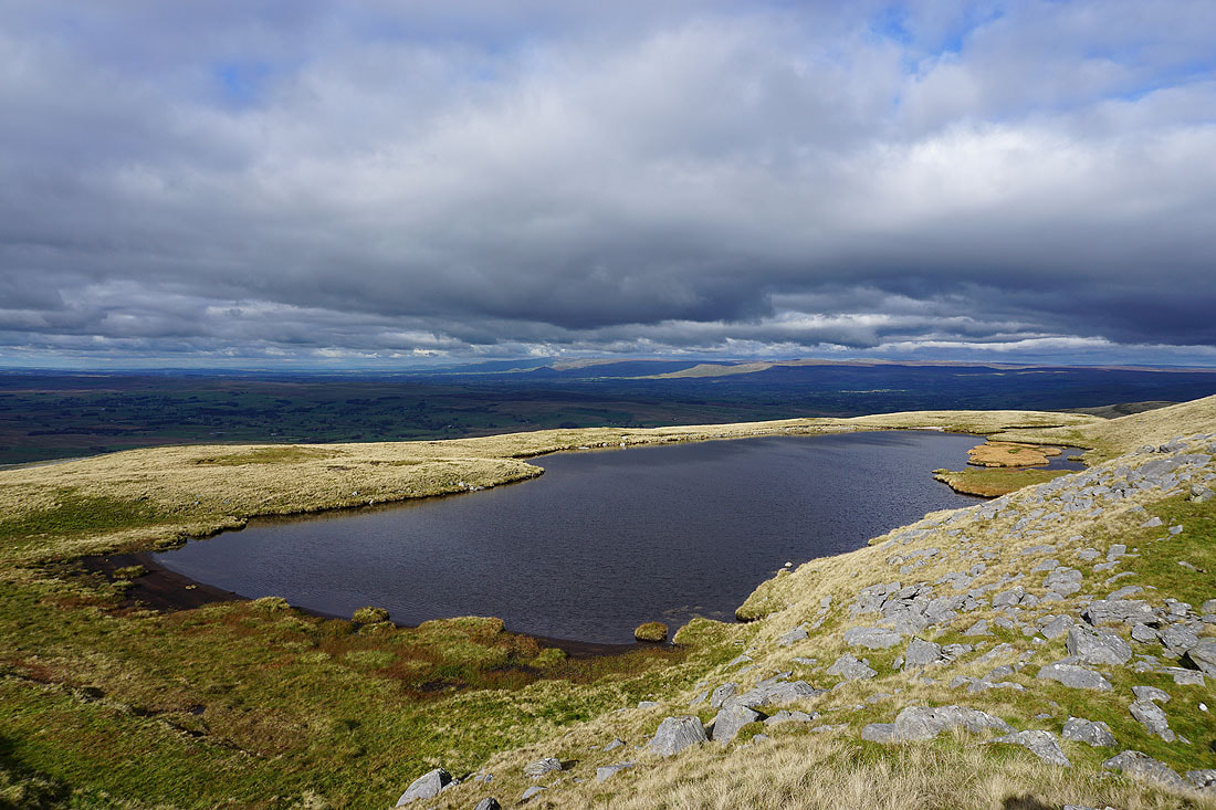
The Howgills from Sand Tarn
Broad moorland slopes rise to the shelter on the skyline
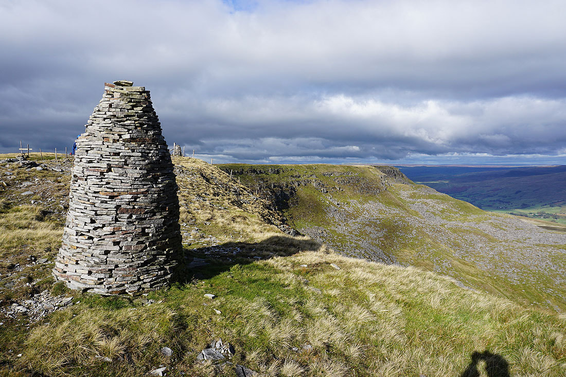
Back on Yoadcomb Scar, looking north to Blackbed Scar
Can't resist taking another photo of the view to the south
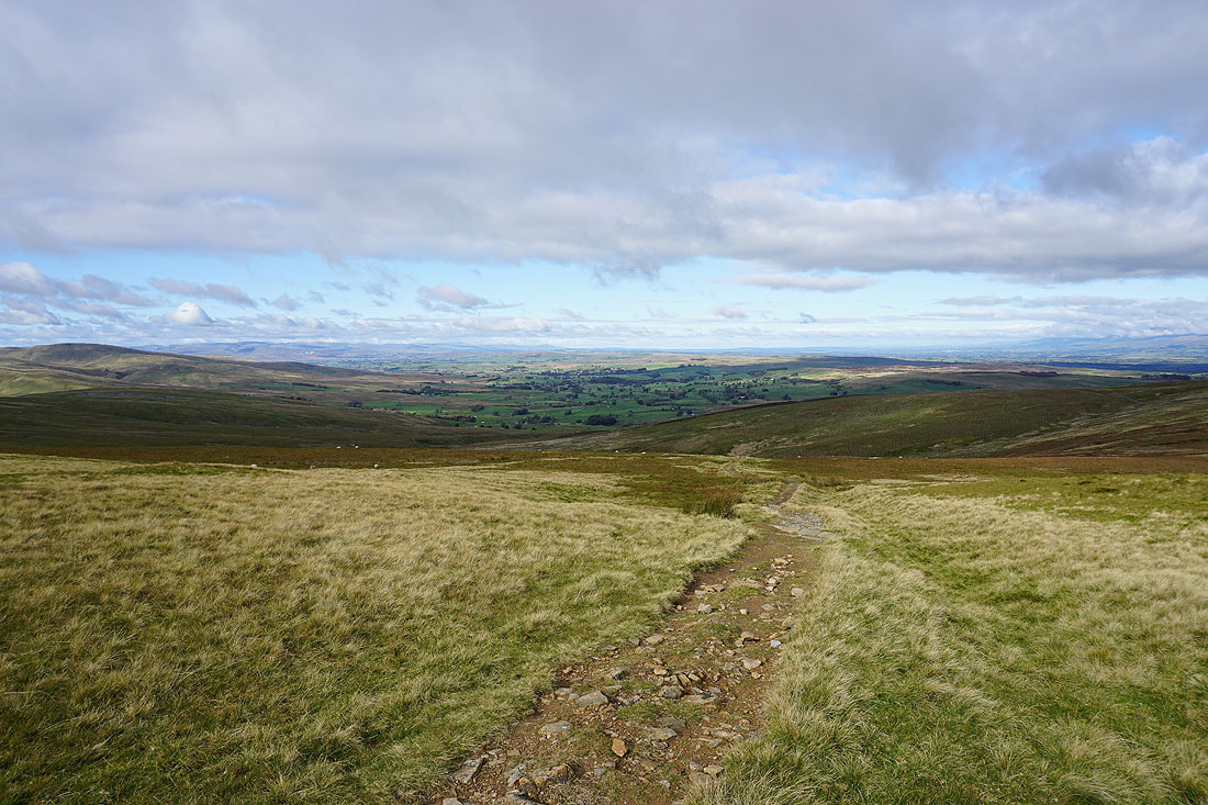
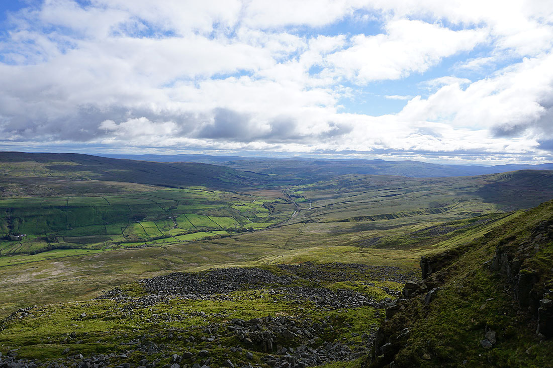
Looking up Mallerstang towards Garsdale Head
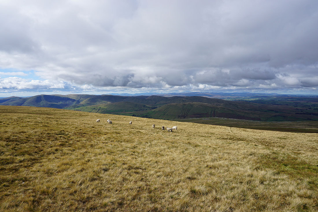
Broad moorland slopes in the afternoon sun..
The Howgills from the western edge of Wild Boar Fell
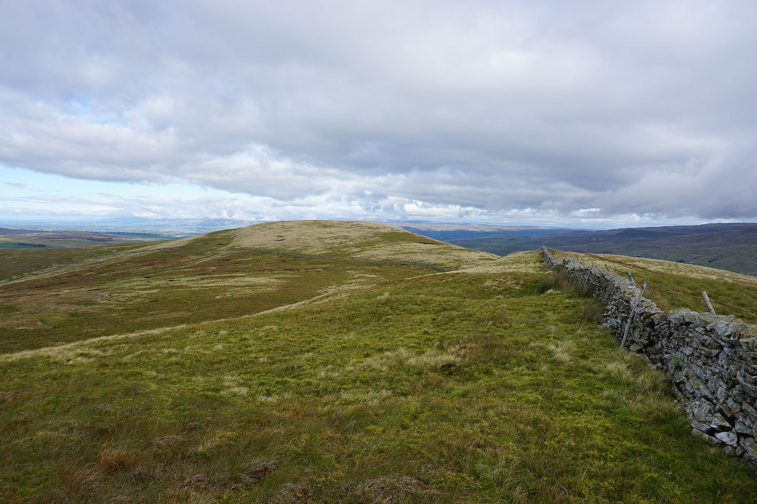
Heading south to Swarth Fell
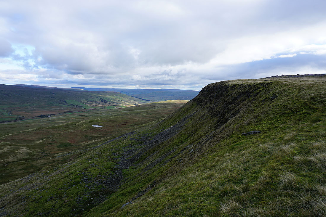
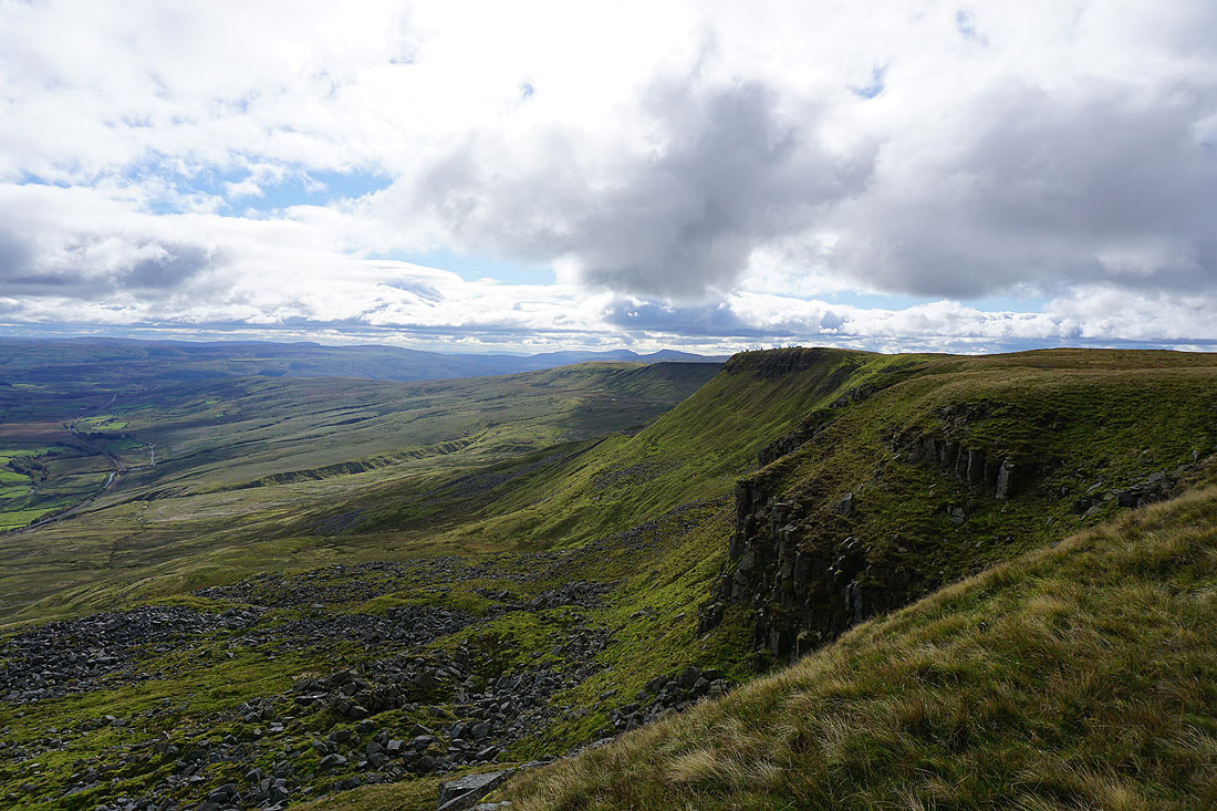
The eastern escarpment of Swarth Fell
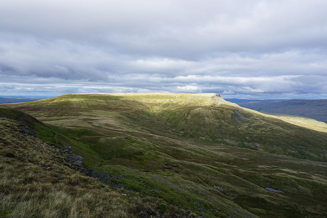
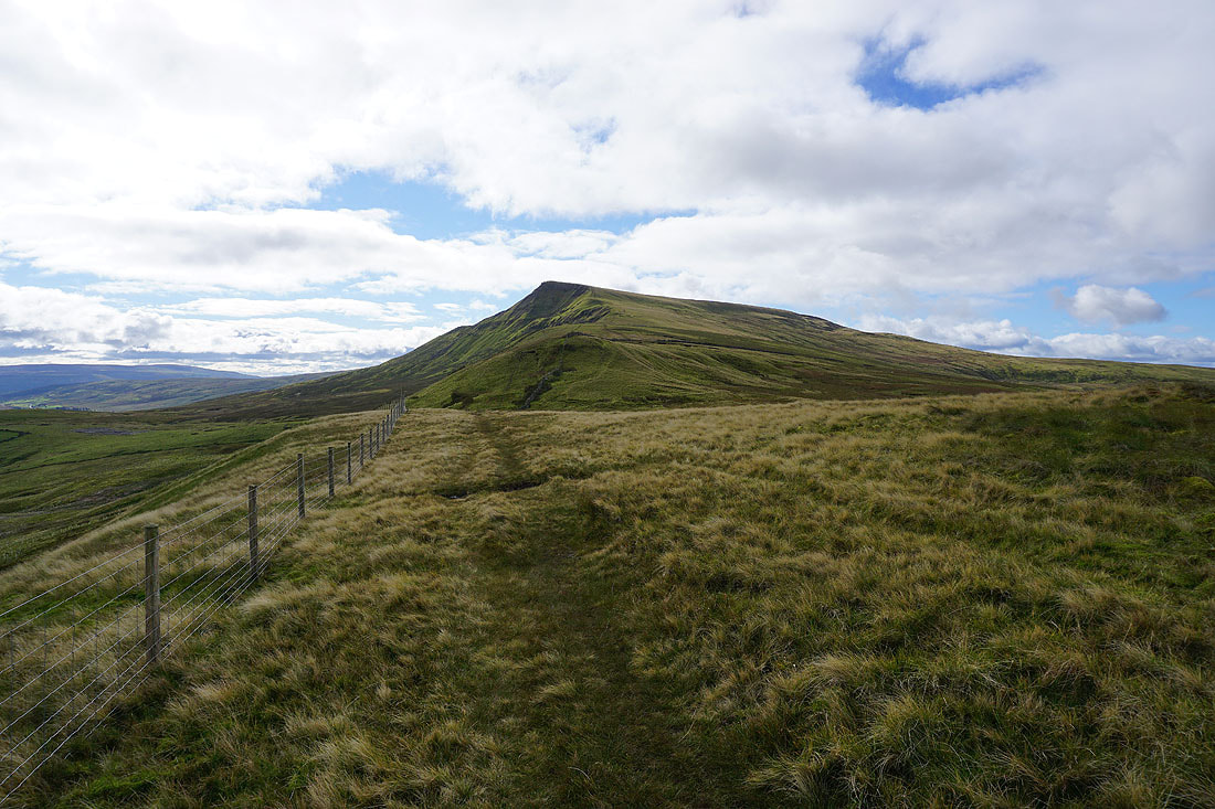
Wild Boar Fell
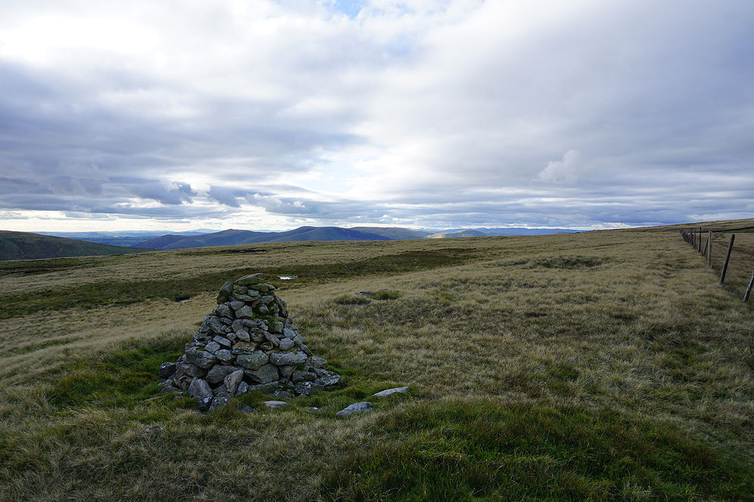
On the summit of Swarth Fell. Looking west to the Howgills and the distant Lake District fells.
Lunds Fell on the other side of Mallerstang, with the fells around Wensleydale in the distance
Great Knoutberry Hill, Ingleborough, Whernside and Baugh Fell
A sunlit Wild Boar Fell
The Howgills from Swarth Fell Pike
Great Knoutberry Hill, Ingleborough and Whernside, with the broad slopes of Baugh Fell on the right
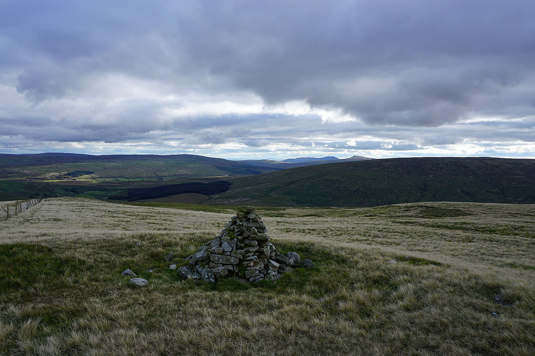
Looking southeast to the fells around the head of Wensleydale
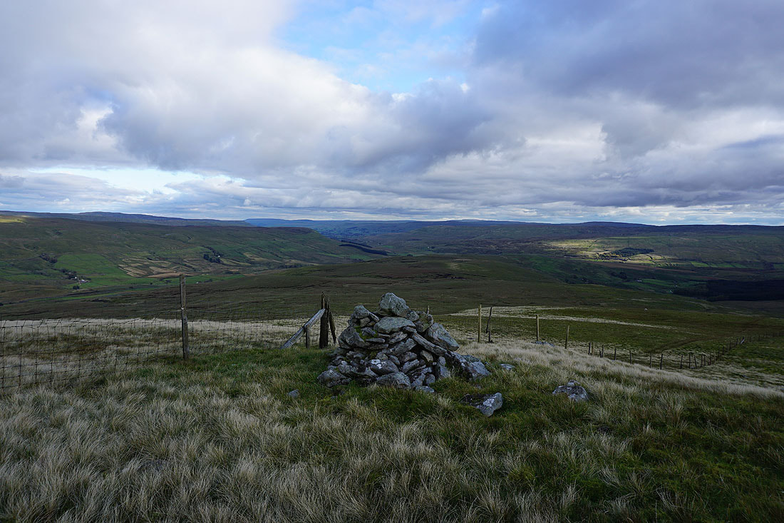
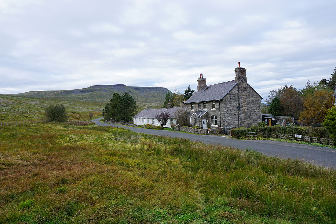
A pathless descent from Swarth Fell Pike brings me to Aisgill Moor Cottages..
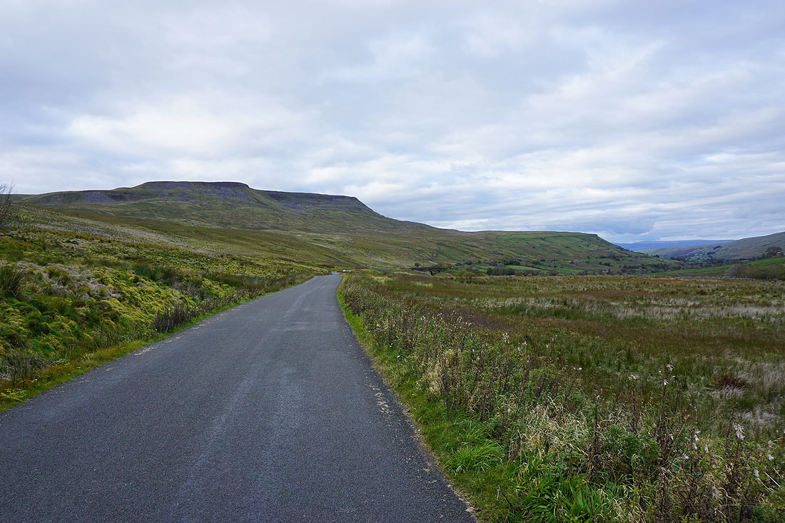
Wild Boar Fell provides a great view as I walk back along the road to where I'm parked