11th September 2015 - Fellbarrow & Low Fell
Walk Details
Distance walked: 7.7 miles
Total ascent: 1873 ft
OS map used: OL4 - The English Lakes, Northwestern area
Time taken: 6 hrs
Route description: Maggie's Bridge-Watergate Farm-Holme Wood-Hudson Place-Waterend-Grange Lane-Mosser Road-Darling Fell-Fellbarrow-Watching Crag-Low Fell-Foulsyke-Loweswater-Maggie's Bridge
It's Friday and my final day in the Lakes. I'll be checking out tomorrow morning and although I have the option of doing another walk before heading home the forecast isn't good so this will be the last walk. The weather is set fair again but it's going to be even windier high up than it was yesterday, so I decided to take in Fellbarrow and Low Fell. Both these Wainwrights will count towards my second round, I'll get another chance to take in the great view from Low Fell and they're handily placed for visiting friends in Loweswater afterwards for tea.
From the car park at Maggie's Bridge in Loweswater I set off on the track to Watergate Farm, through Holme Wood to Hudson Place and to the road at Waterend. I then turned right and walked along the road to the Grange Country House Hotel, where I turned left and walked up Grange Lane to reach the old Mosser Road. At the top I went right and followed the track of Mosser Road downhill until I reached the signpost for the path up Darling Fell. After a steep climb I arrived at the summit. The next part of the walk I sort of made up as I went along, picking the best way across Beckhead Moss to reach Sourfoot Fell, from where I made my way north to reach the trig point on Fellbarrow. After taking a break for lunch I followed the ridgeline south back to Sourfoot Fell, then on to Watching Crag and the second Wainwright of the day, Low Fell. The best views are from its south top however, so I wasted no time and went straight there. My route of descent wasn't quite as I'd planned it but eventually I found the path that comes out to the road at Foulsyke. I crossed the road to take the path over the fields to the red phone box in Loweswater and then I had a brief walk along the road back to Maggie's Bridge.
Route map
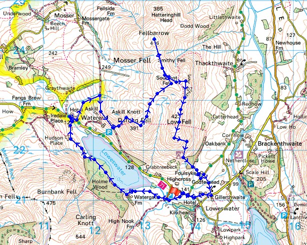
© Crown copyright. All rights reserved. License number PU 100034184.
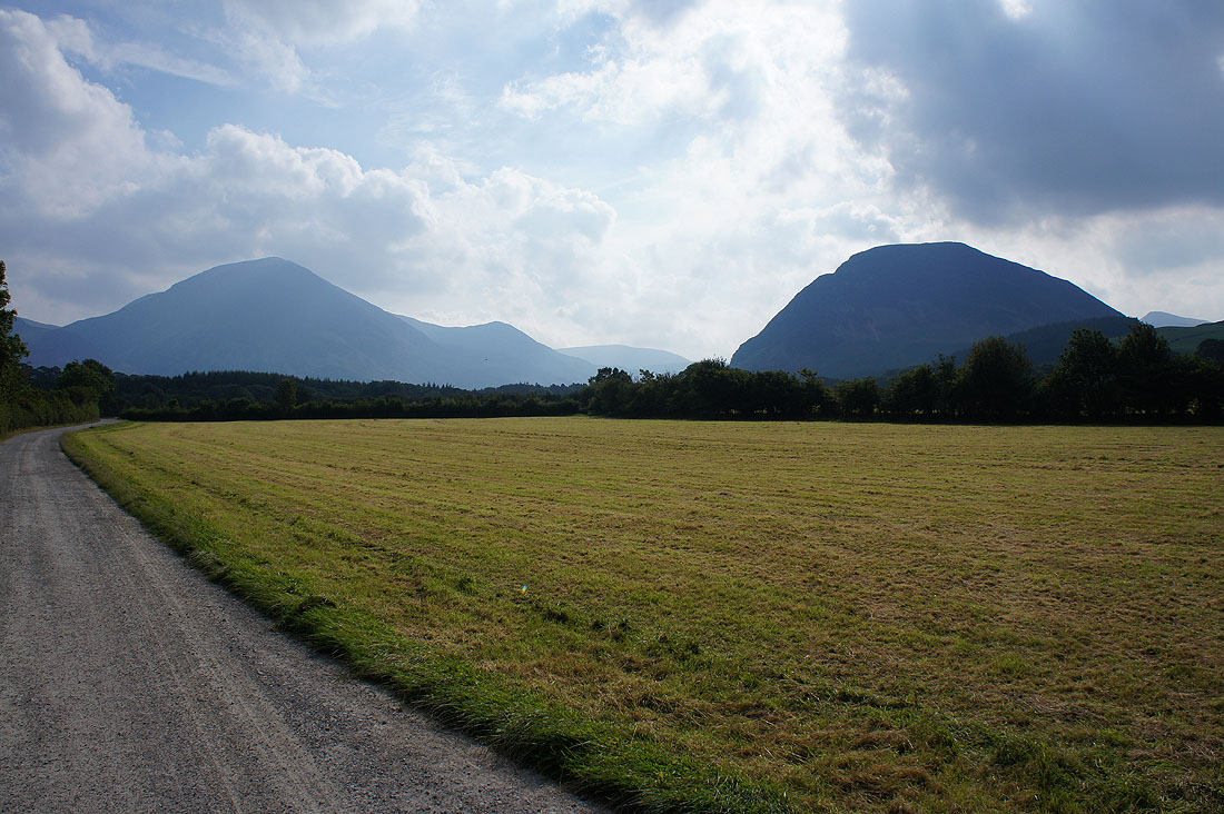
Looking back to Grasmoor and Mellbreak as I follow the track to Watergate Farm
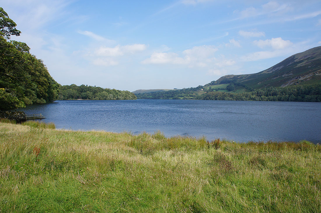
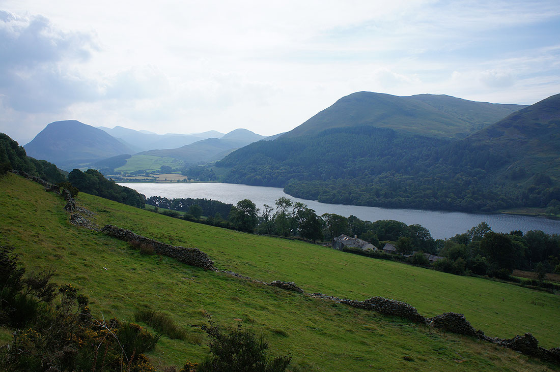
By the shores of Loweswater
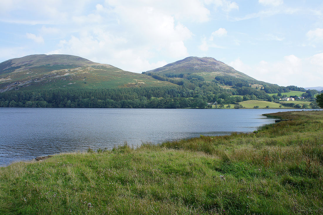
Darling Fell and Low Fell
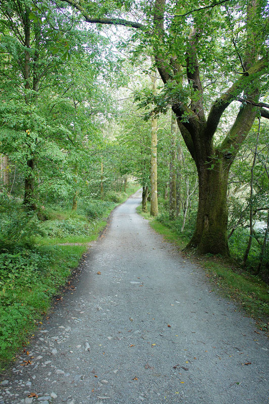
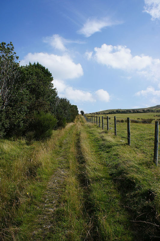
Making my way through Holme Wood
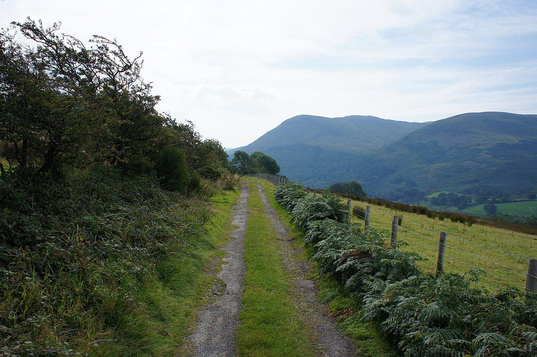
Having crossed the road at Waterend, on the track of Grange Lane which will take me up to the Mosser Road
Heading south along the Mosser Road
Mellbreak, Hen Comb, Carling Knott and Loweswater
After a steep climb, on the top of Darling Fell. A somewhat hazy view of Crummock Water and the fells around the Buttermere valley.
Carling Knott, Blake Fell, Holme Wood and Loweswater
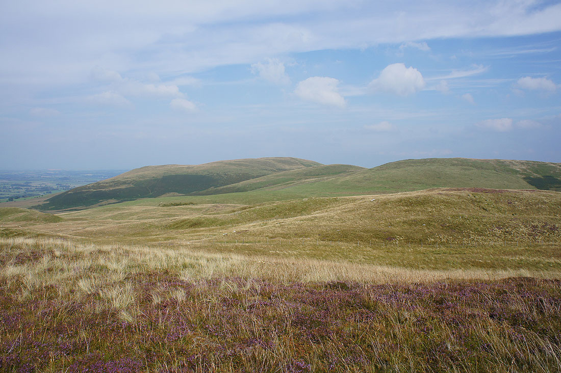
Looking north to Fellbarrow
Which is where I'm heading now, making it up as I go along
It's a lovely afternoon with the blue skies and heather
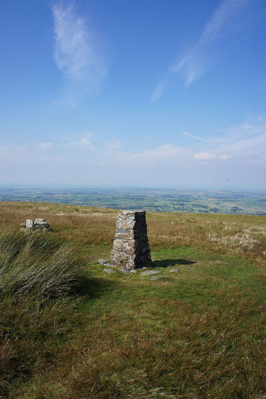
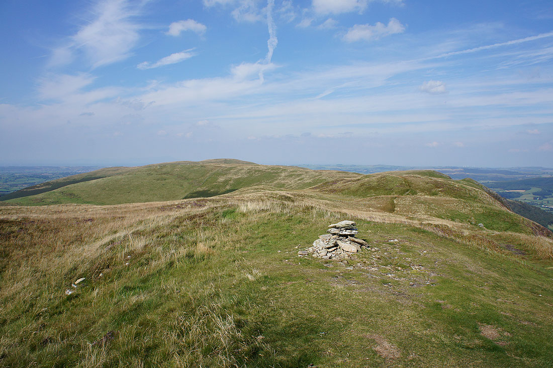
Finally at the trig point on Fellbarrow
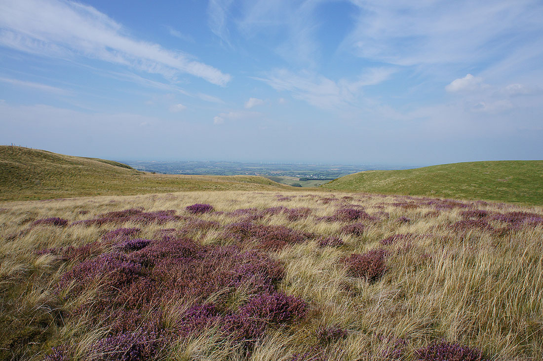
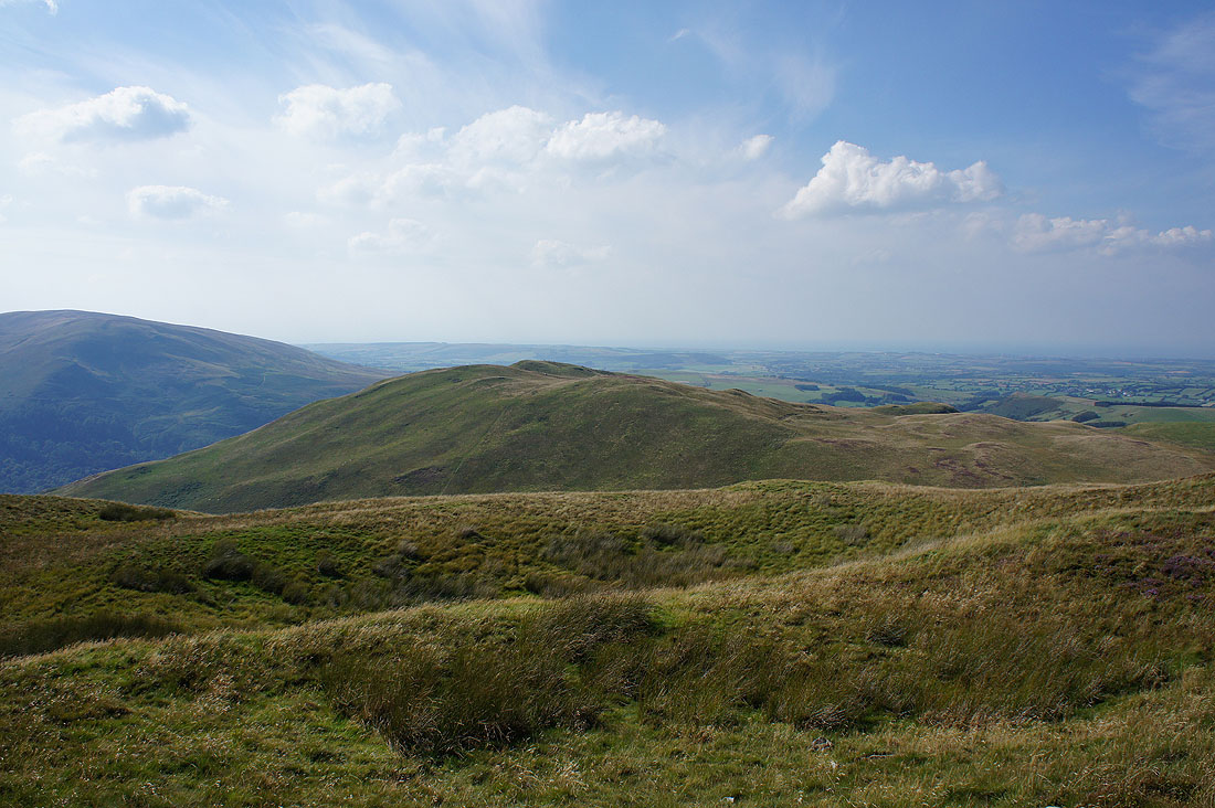
Views towards Cockermouth..
..and the coast around Workington
The Whinlatter fells on the other side of the Vale of Lorton with Skiddaw in the distance
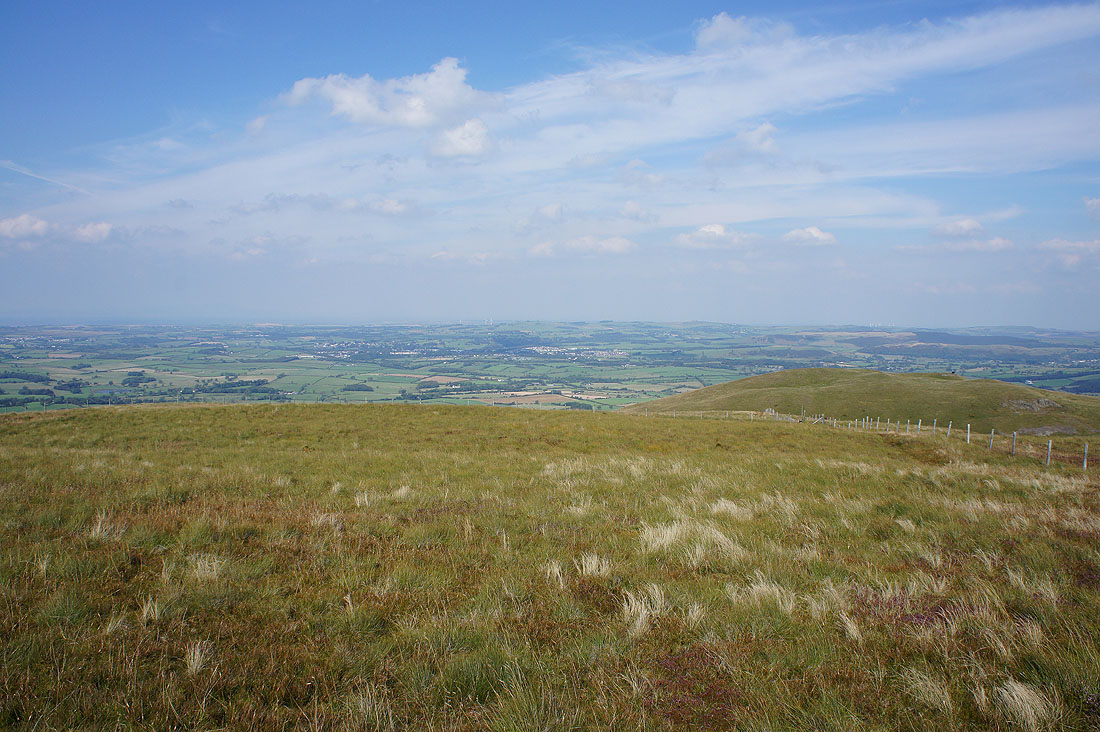
Time to head south along the ridge to Low Fell
Hopegill Head, Whiteside and Grasmoor
On Sourfoot Fell and I join the path up from Thackthwaite to Low Fell
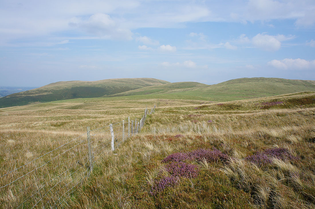
Looking back to Fellbarrow
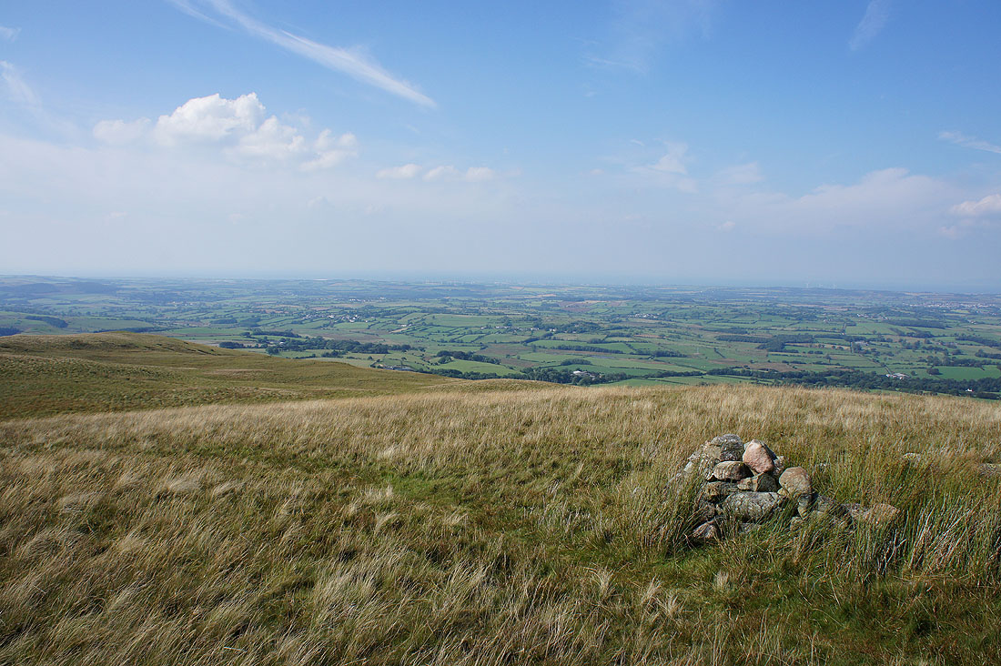
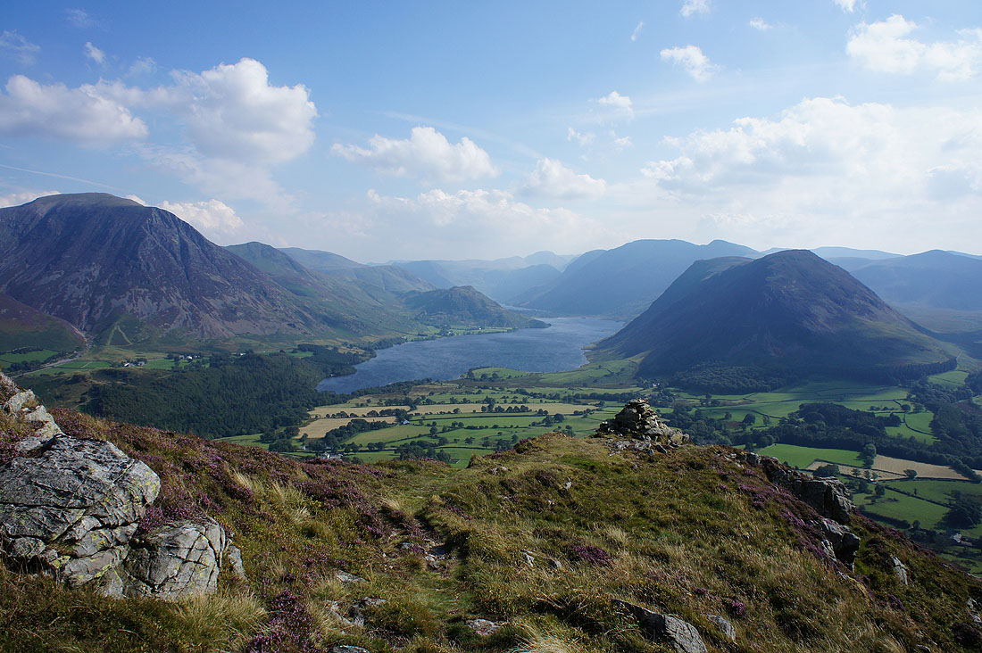
The view from the top of Watching Crag is worth the short detour
On the summit of Low Fell looking north to Fellbarrow
Darling Fell
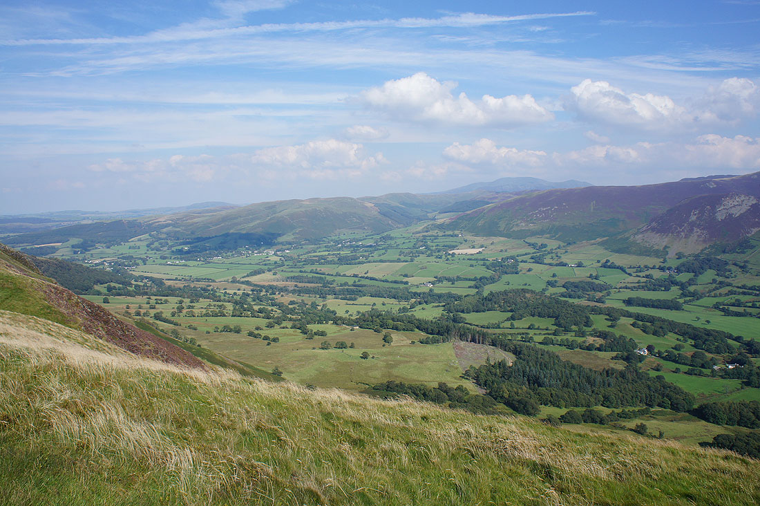
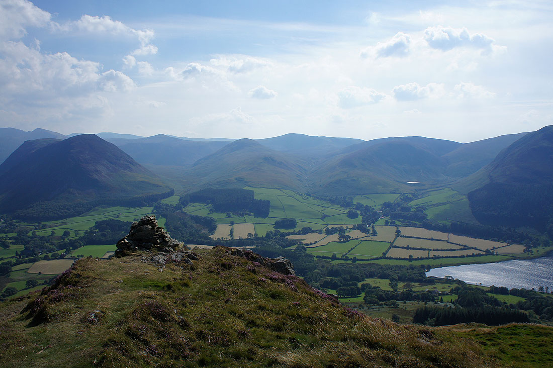
The Vale of Lorton
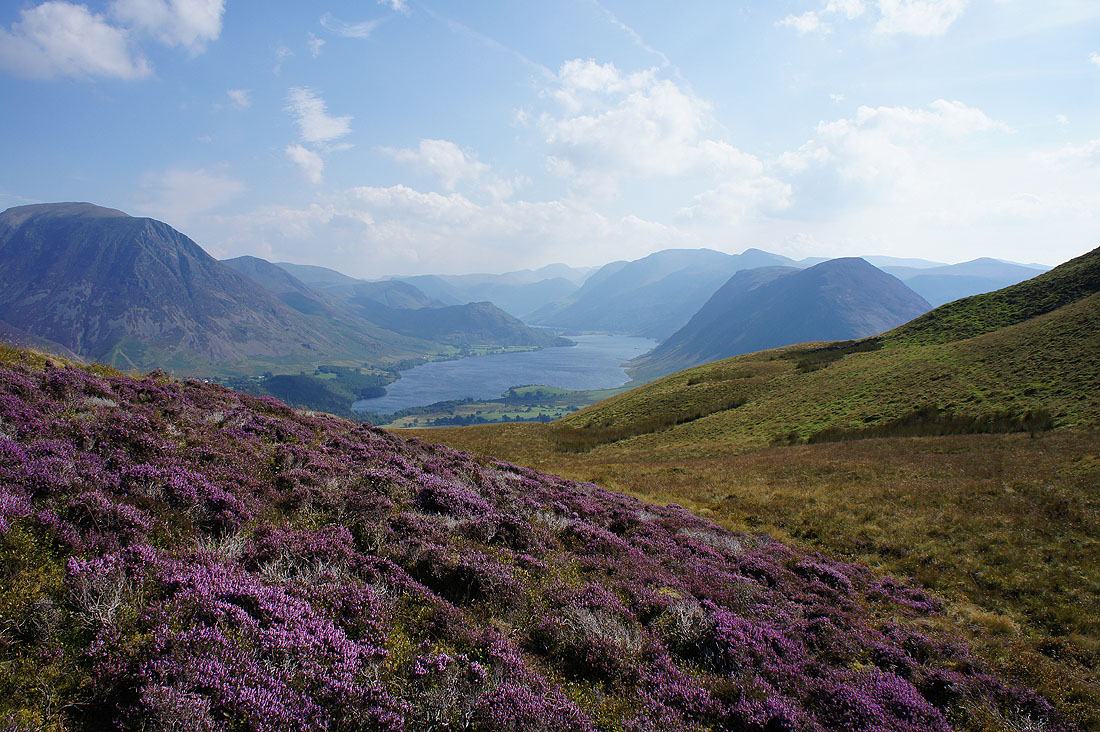
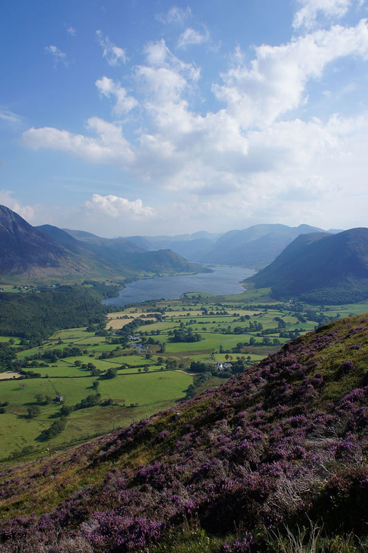
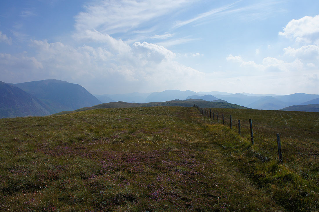
Heading for the south top of Low Fell and I couldn't resist taking this photo with the heather in the foreground
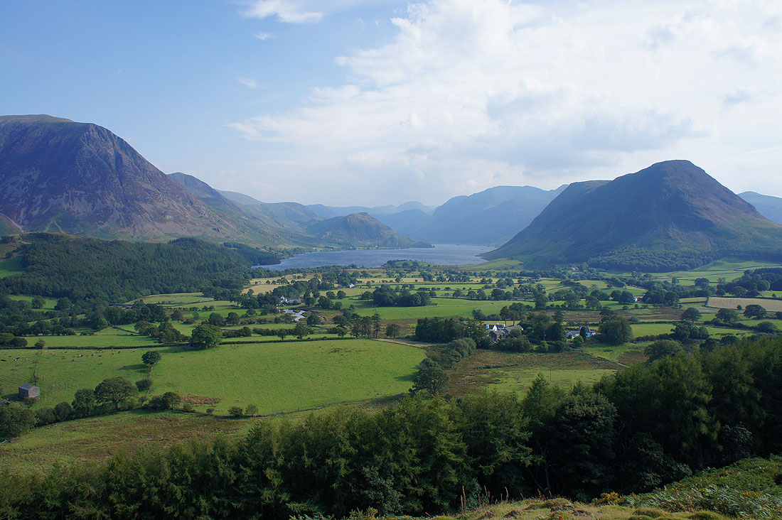
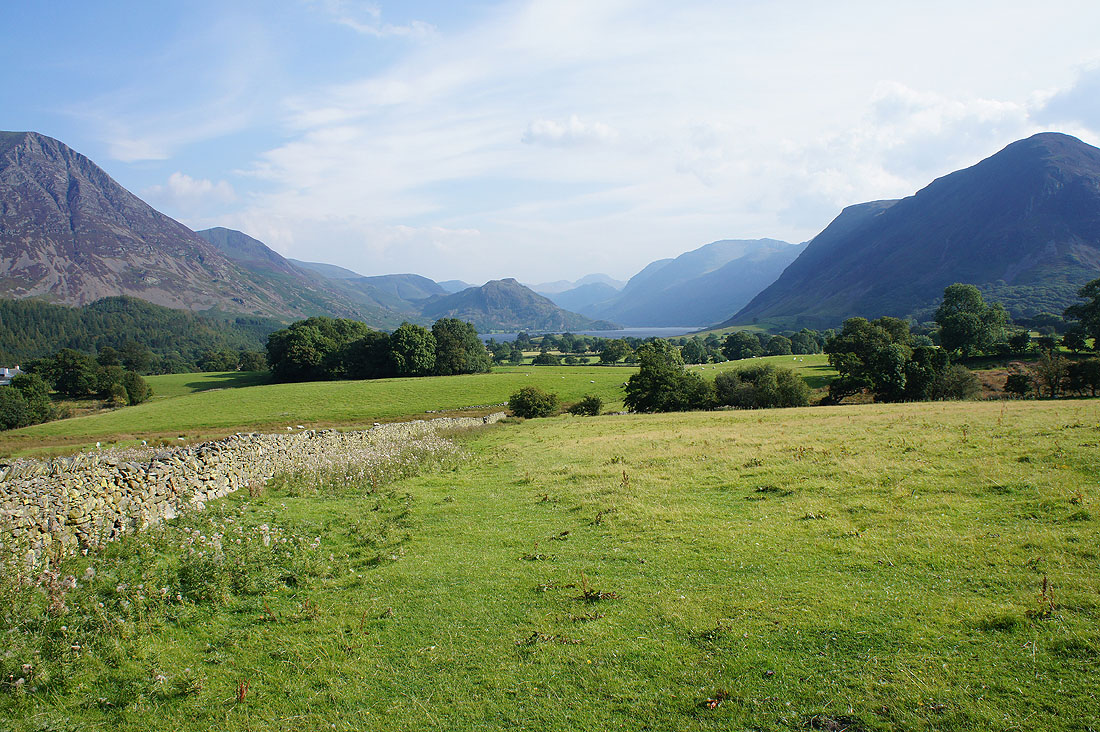
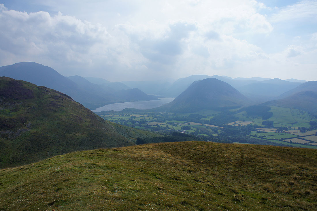
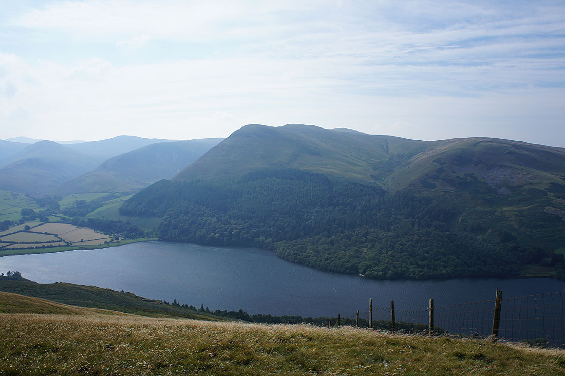
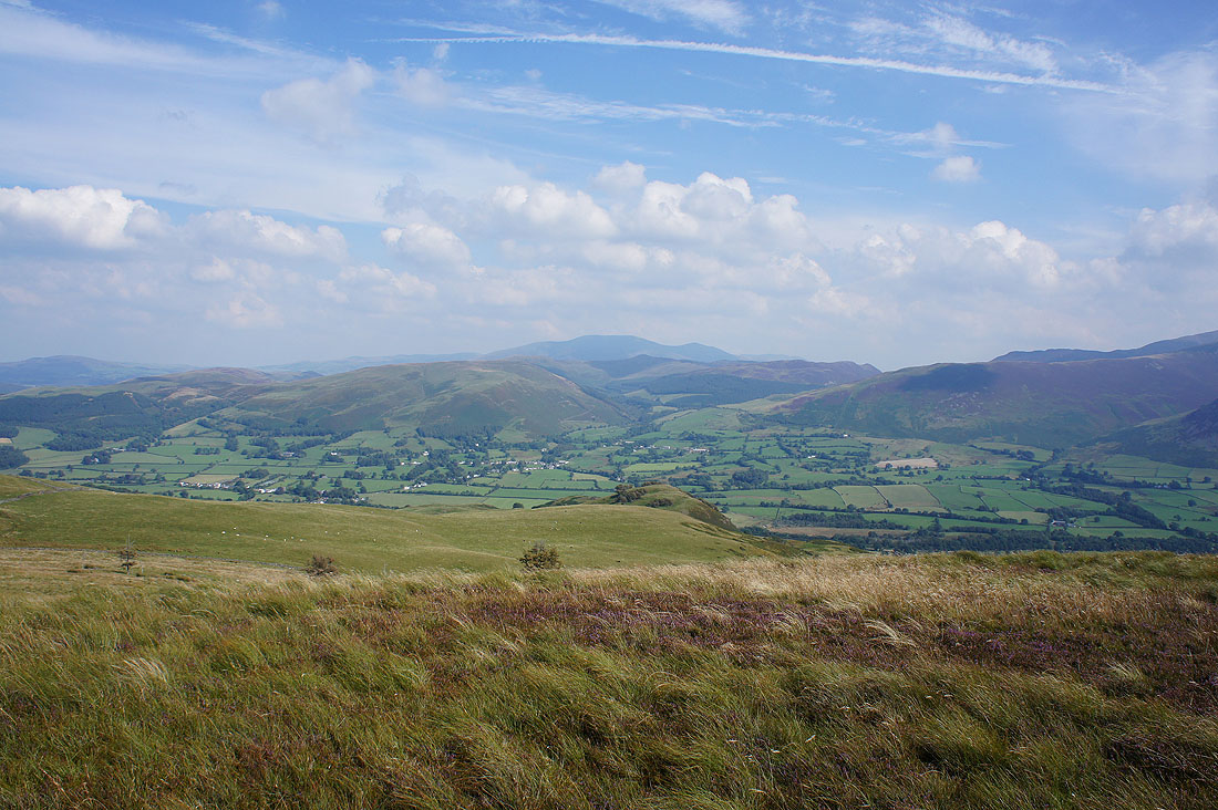
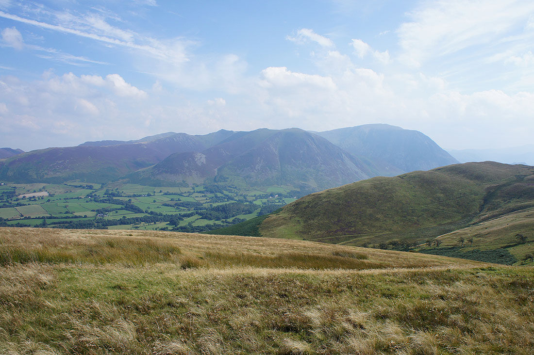
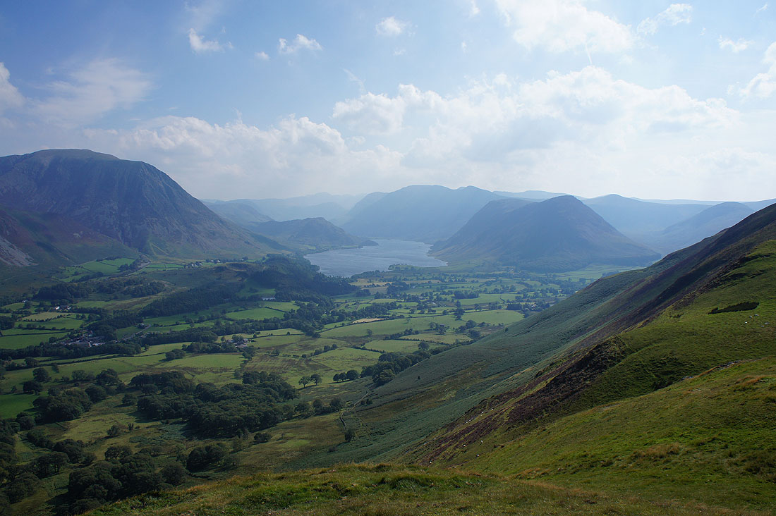
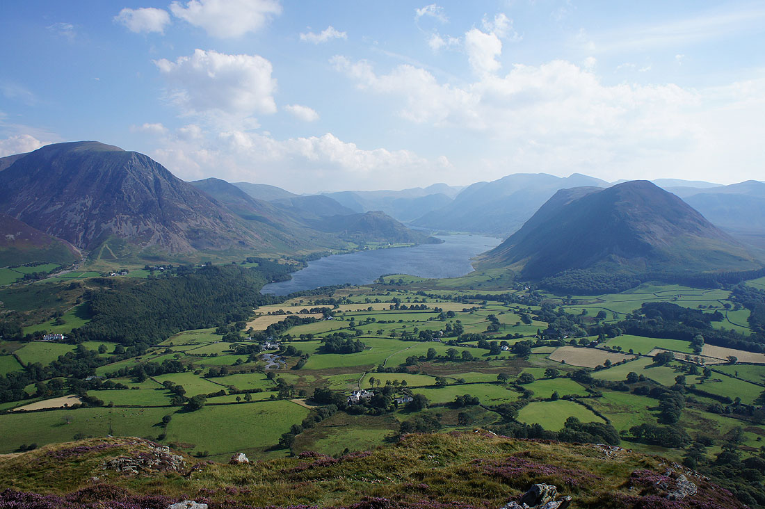
At the south top of Low Fell and the best views of the day, particularly this one of Crummock Water and the Buttermere valley. I'm glad that the visibilty has improved since I set off though the wind has strengthened as well. I had to brace myself to keep the camera steady.
Mellbreak, Hen Comb and Gavel Fell. The little patch of water on the right is High Nook Tarn.
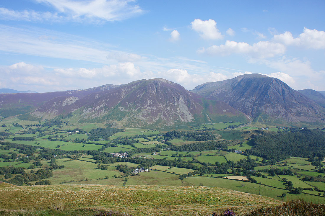
Whiteside and Grasmoor
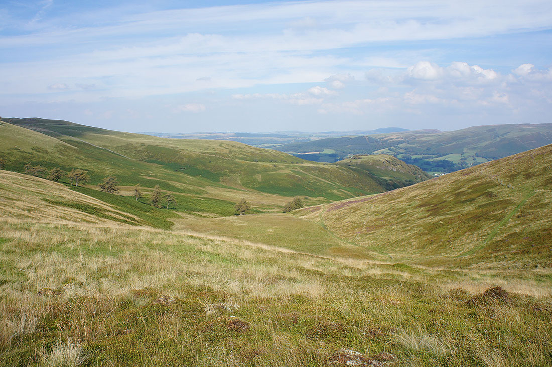
Changing perspectives as I head down off the fell....