12th December 2010 - Pendle Hill
Walk Details
Distance walked: 8.7 miles
Total ascent: 1965 ft
OS map used: 287 - West Pennine Moors & OL21 - South Pennines
Time taken: 5 hrs
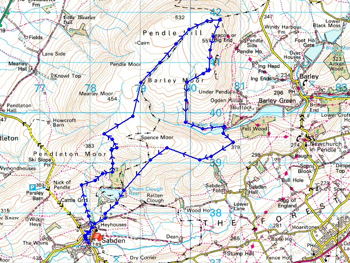
Route description: Sabden-Deerstones-Ogden Clough-Pendle Hill-Boar Clough-Upper Ogden Reservoir-Driver Height-Spence Moor-Churn Clough Reservoir-Heyhouses-Sabden
A walk up Pendle Hill from Sabden. The snowy weather has relented and I take the opportunity to get out. I parked in Sabden and headed north for the outcrop of Deerstones on the southwest flank of Pendle. I then made my way to Pendle's summit. From the summit I descended down to and across Ogden Clough, across Spence Moor and back to Sabden.
Route map
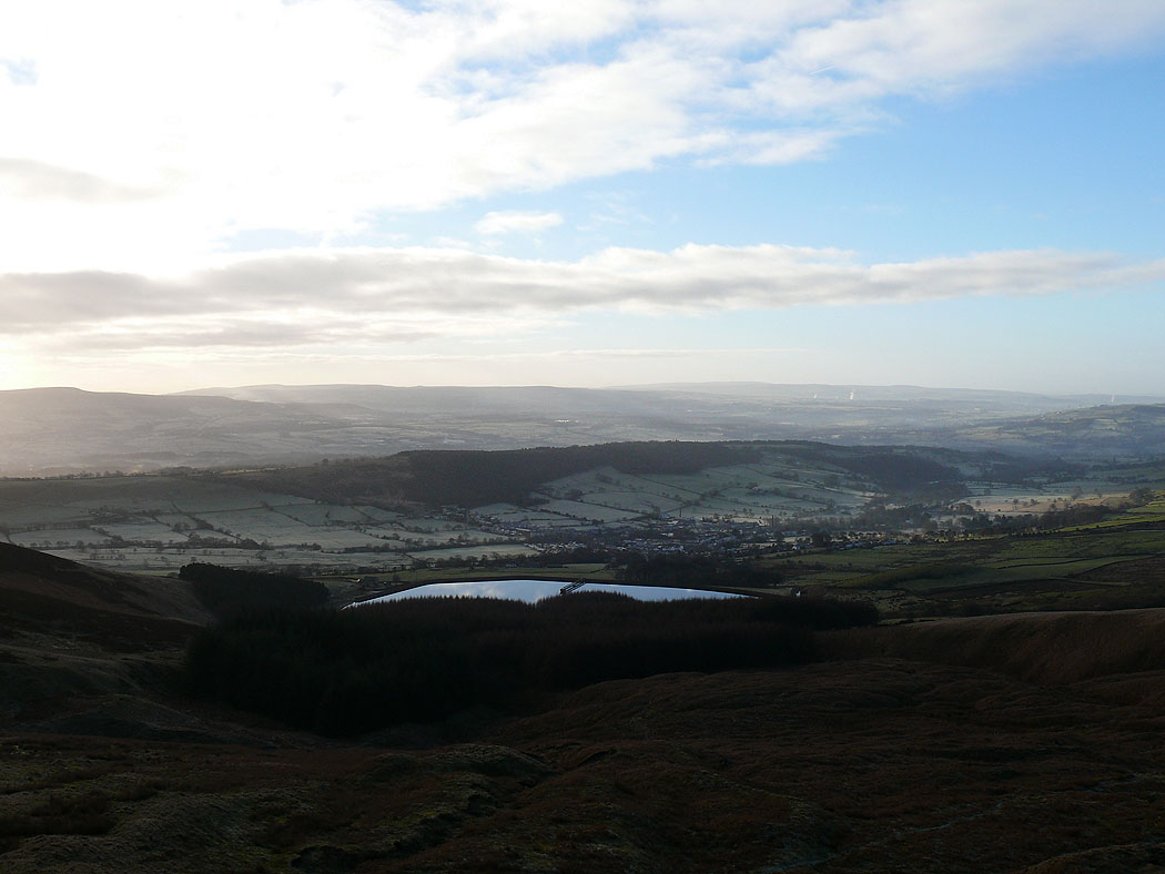
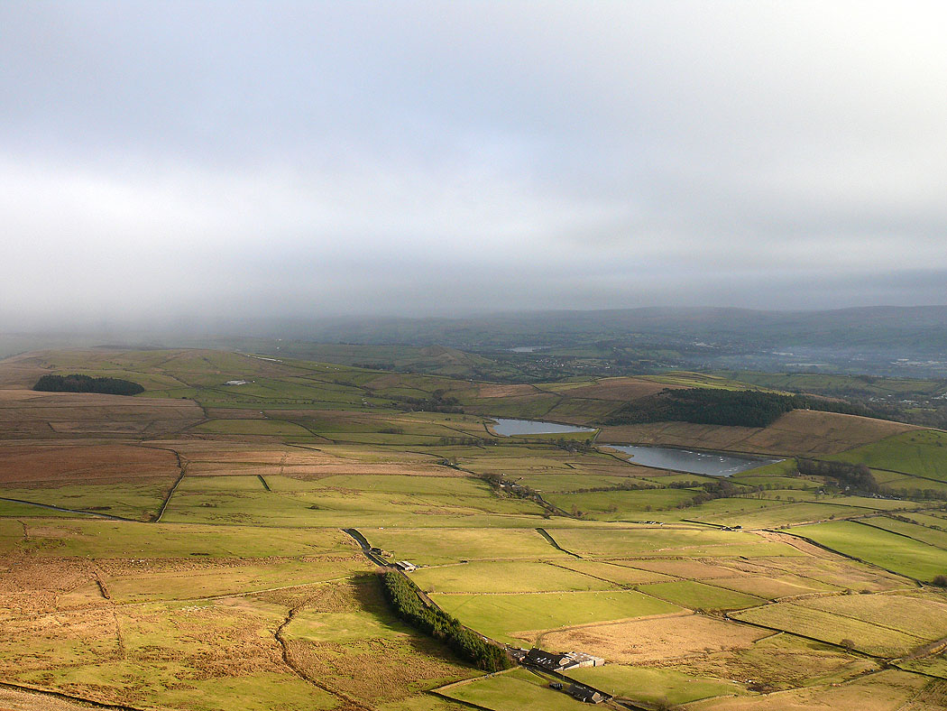
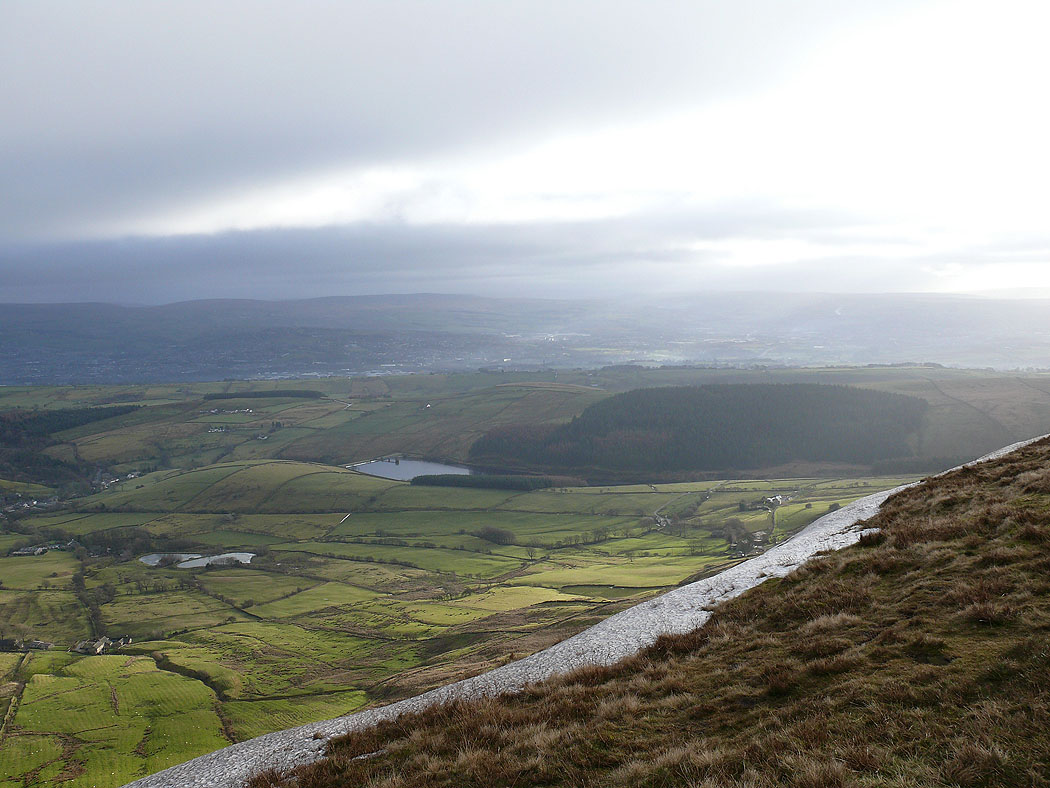
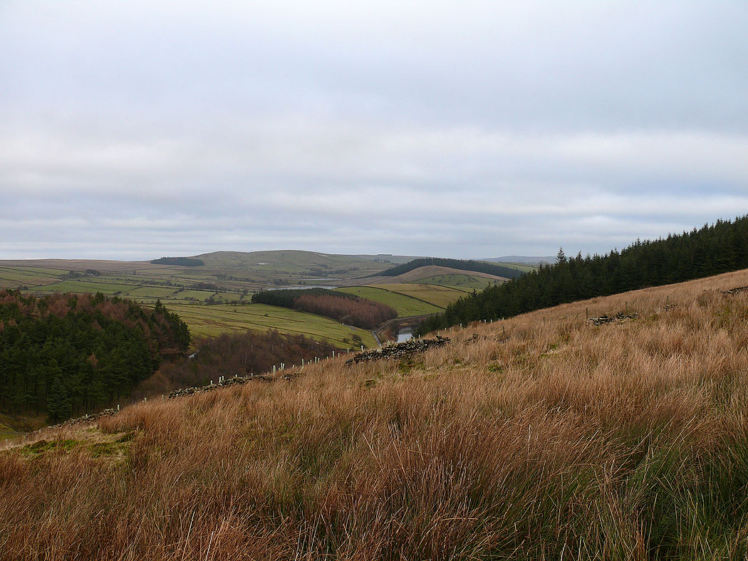
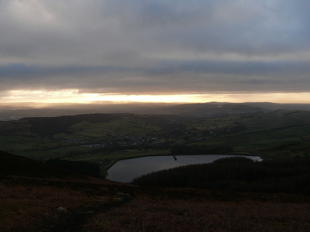
After parking in Sabden I set off and headed north and northeast to the outcrop of rocks on Pendle's southwestern slopes known as Deerstones. A view back down to Sabden and Churn Clough Reservoir.
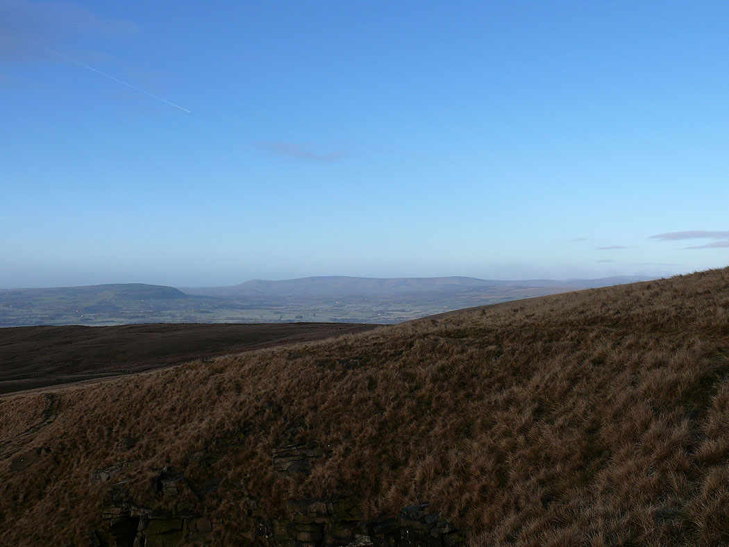
Longridge Fell and the Forest of Bowland in the distance
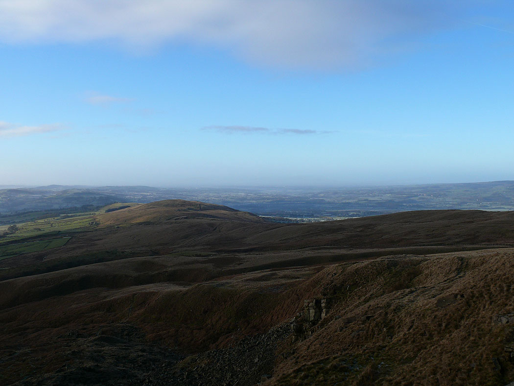
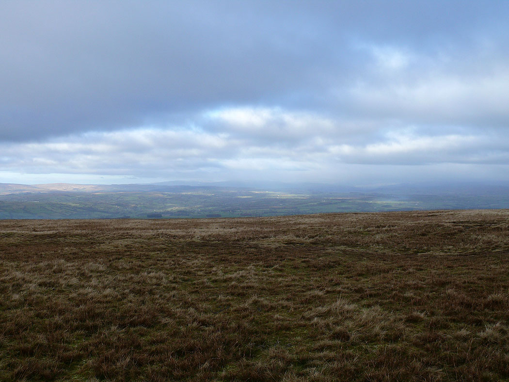
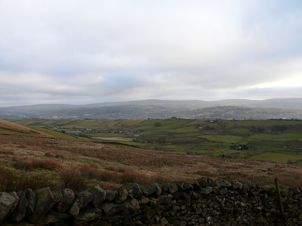
A view across to the Ribble valley
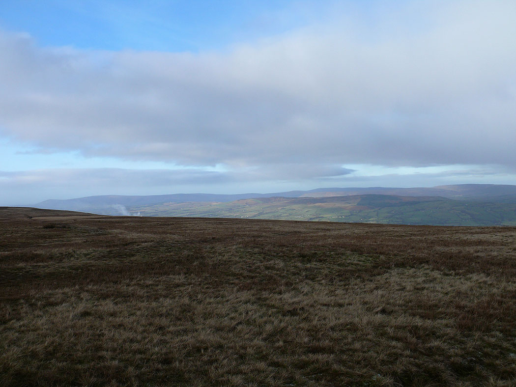
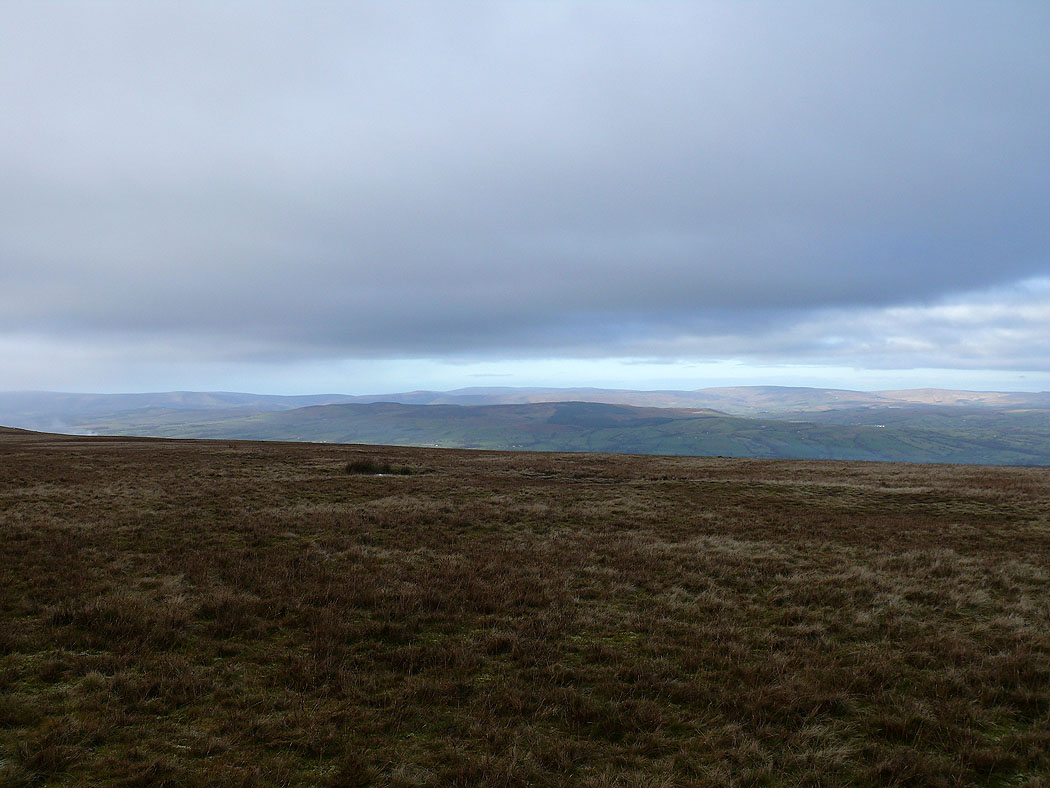
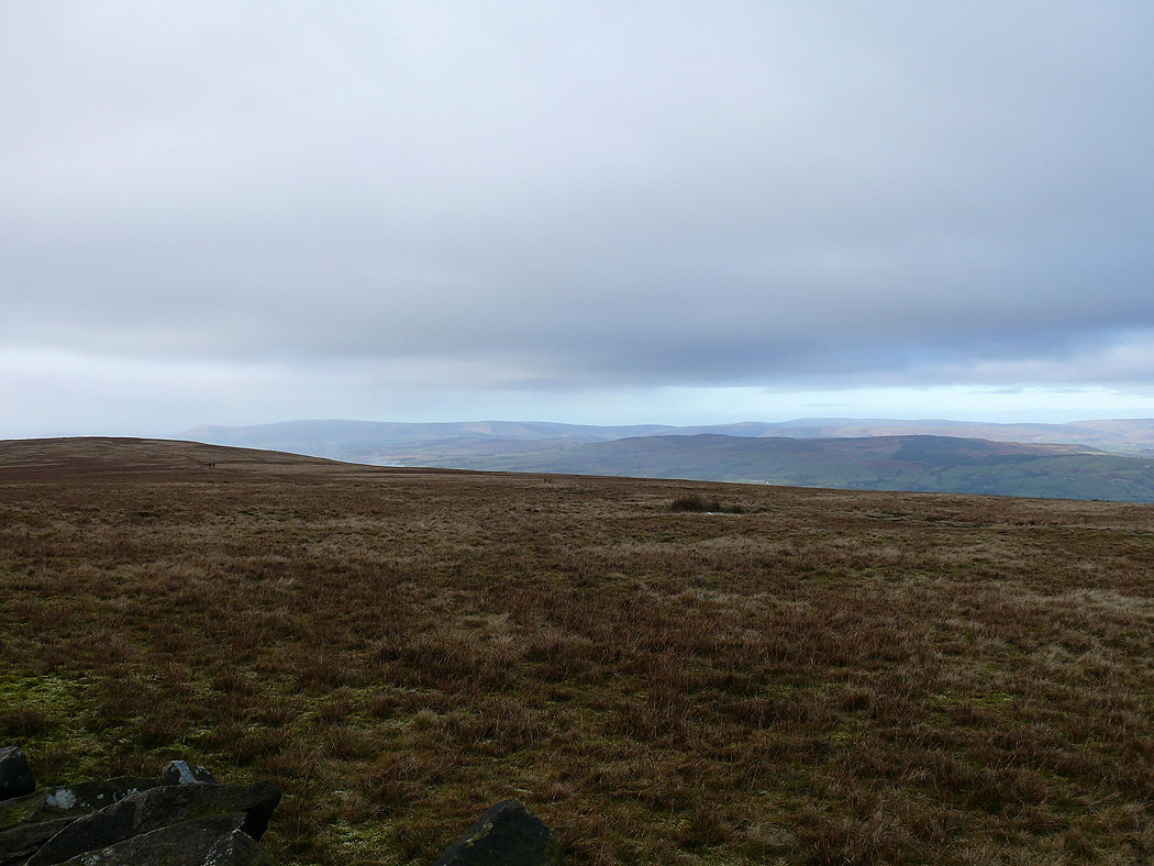
Views to the northwest of the Forest of Bowland as I head for Pendle's summit....
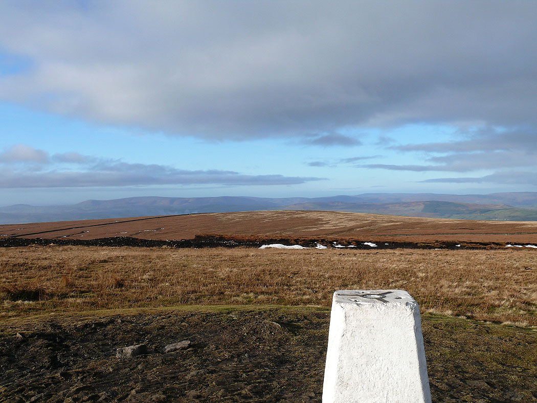
The Forest of Bowland from Pendle's summit
Upper and Lower Black Moss Reservoirs and the view east
Lower Ogden Reservoir below
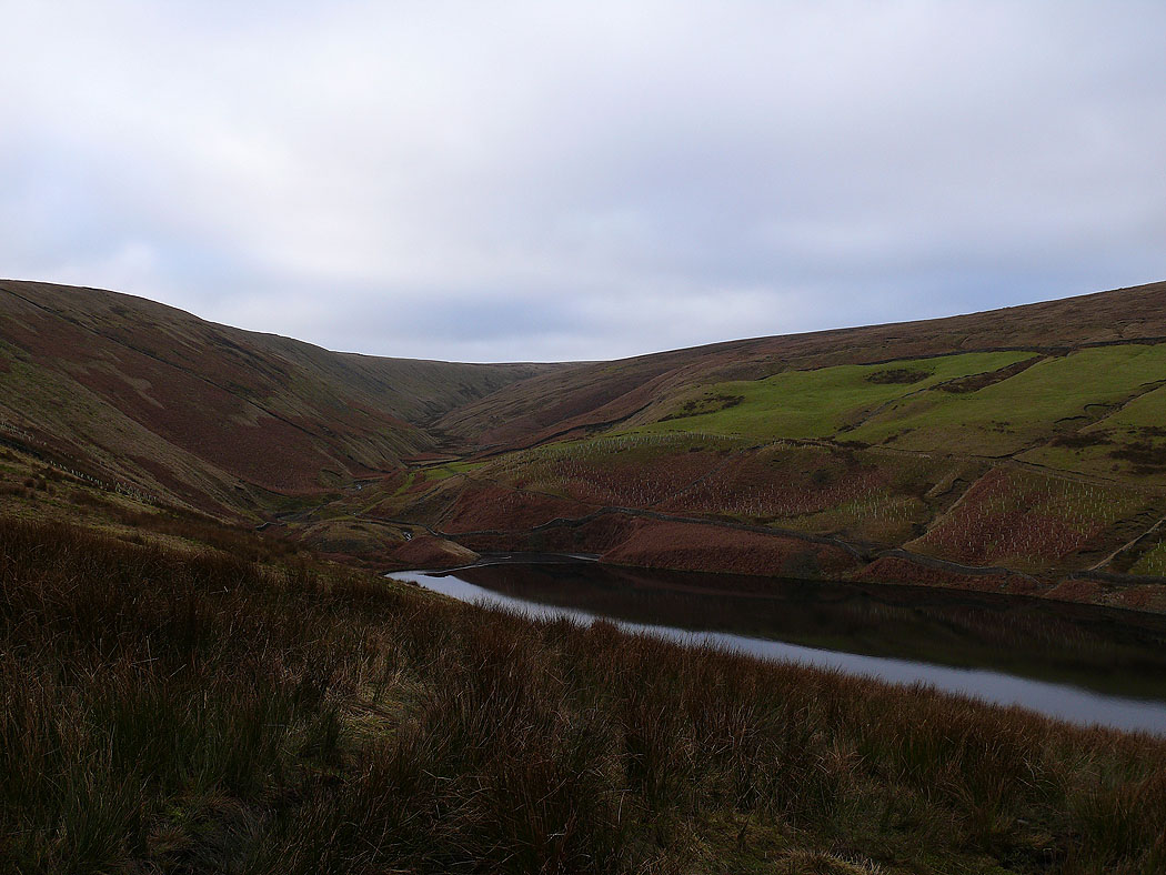
Ogden Clough
The view down Ogden Clough on the way up Spence Moor
The South Pennines in the distance
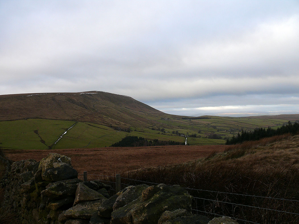
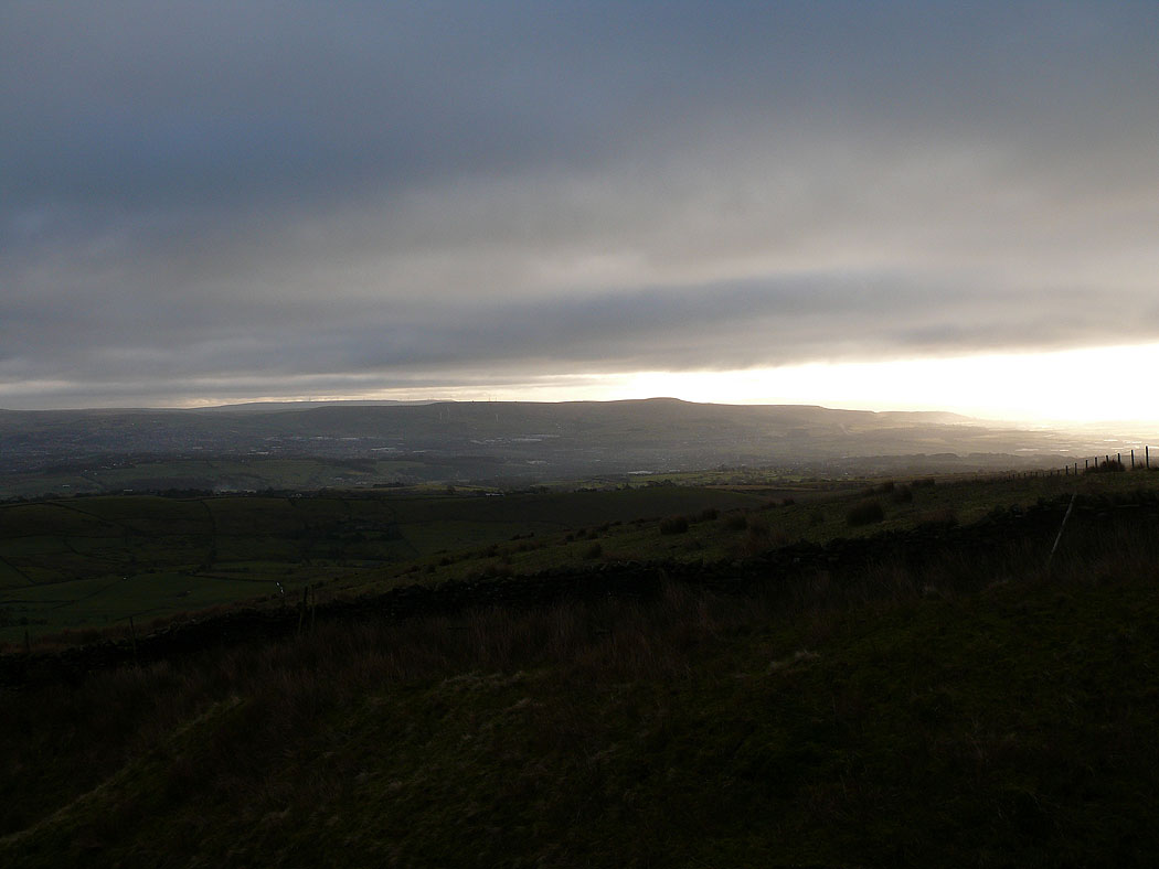
Pendle Hill
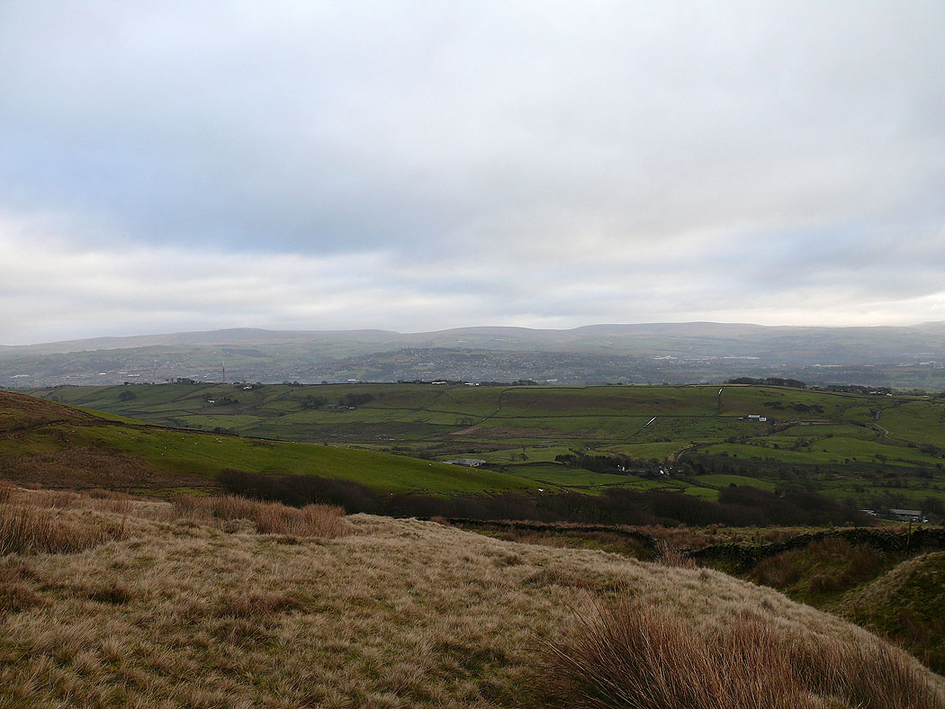
The South Pennines from Spence Moor
Great Hameldon in the distance
Back above Churn Clough Reservoir and heading back to Sabden
