12th December 2014 - Pendle Hill
Walk Details
Distance walked: 4.0 miles
Total ascent: 1229 ft
OS map used: OL21 - South Pennines
Time taken: 2.5 hrs
Route description: Barley-Pendle Way-Pendle House-Pendle Hill-Pendle House-Pendle Way-Barley
With an overnight snowfall covering the tops of the hills and a forecast for this afternoon of sunny spells and showers I decided to head back to Barley for another go at Pendle Hill. My brother Andy joined me today, he'd asked to be invited the next time I did Pendle Hill. We only encountered the one shower on the way up but it was the difference in the conditions on the summit to those going up and down that was noteworthy. There was a bitterly cold wind up there that was blowing the snow around and only a gentle breeze elsewhere.
A very simple route today. Follow the Pendle Way from Barley to the summit of Pendle Hill and back.
Route map
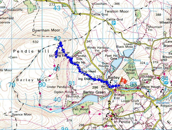
© Crown copyright. All rights reserved. License number PU 100034184.
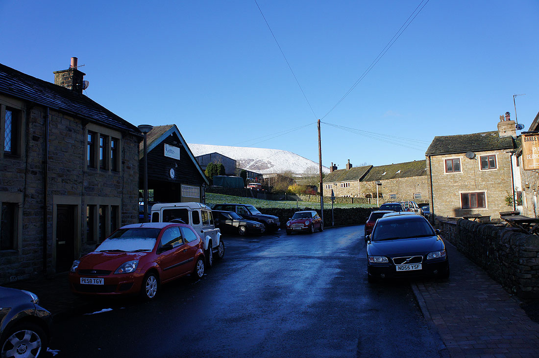
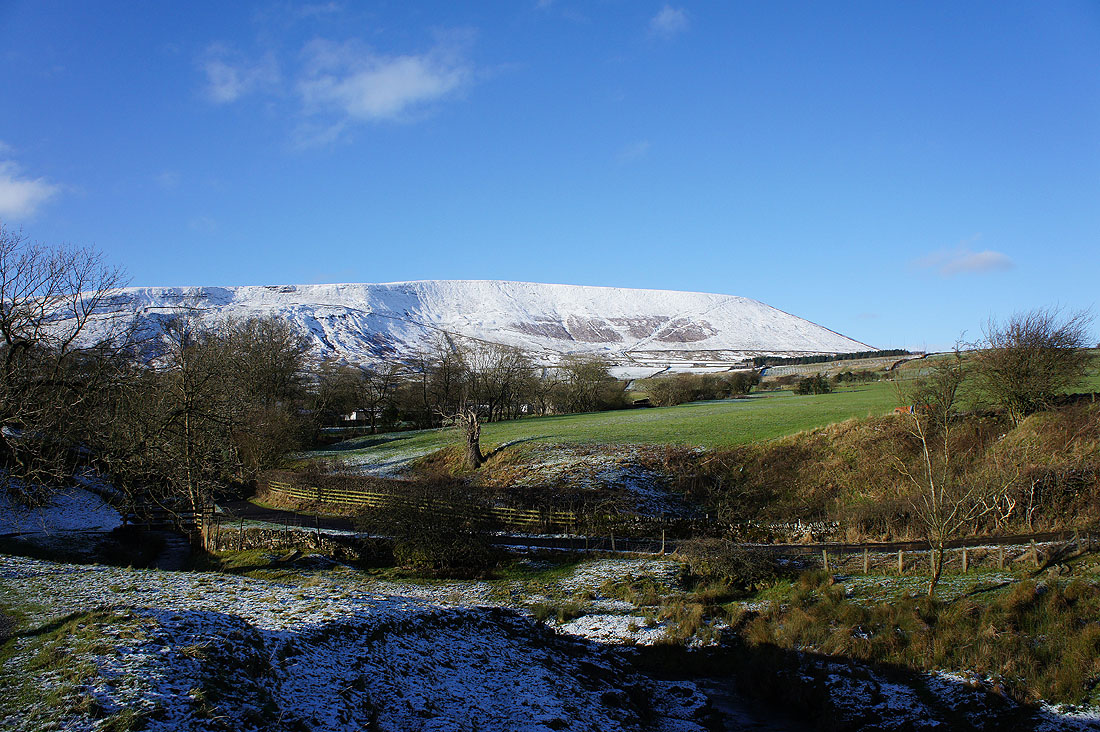
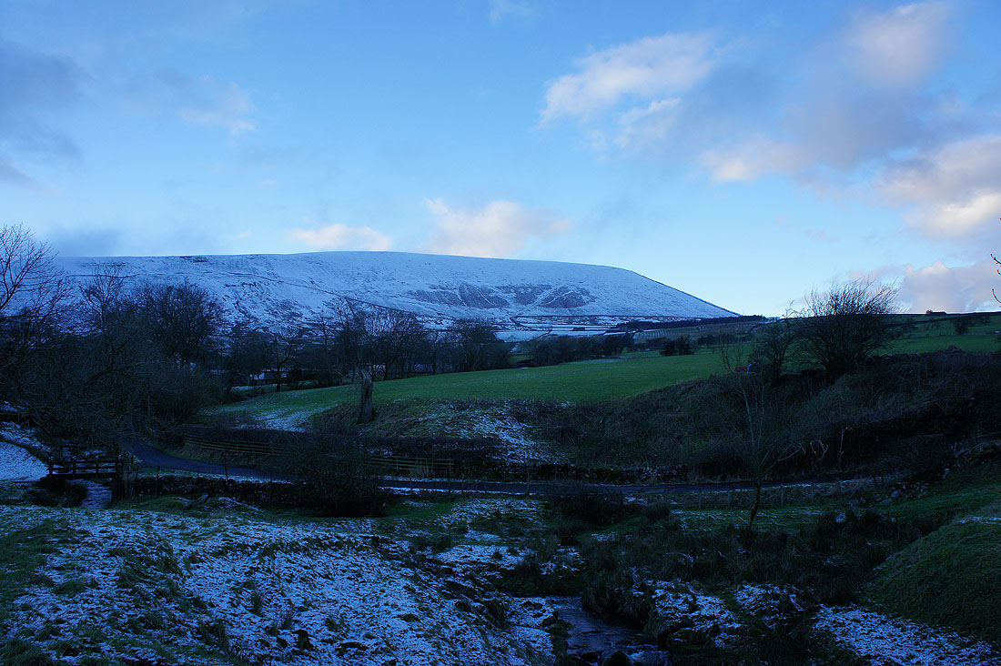
A snowy Pendle Hill in sight from Barley
Following the Pendle Way..
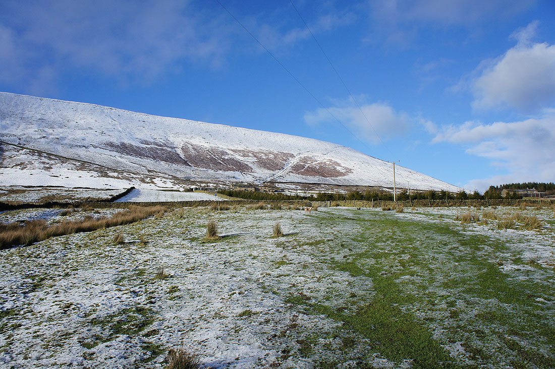
..and the path up the steep east face of the hill is easy to spot
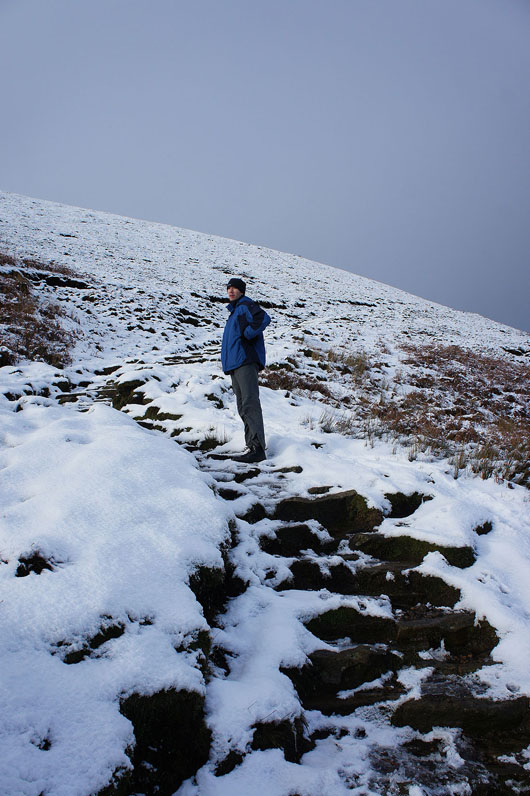
A pause for breath on the way up..
..and a snow shower passes over and leaves us behind
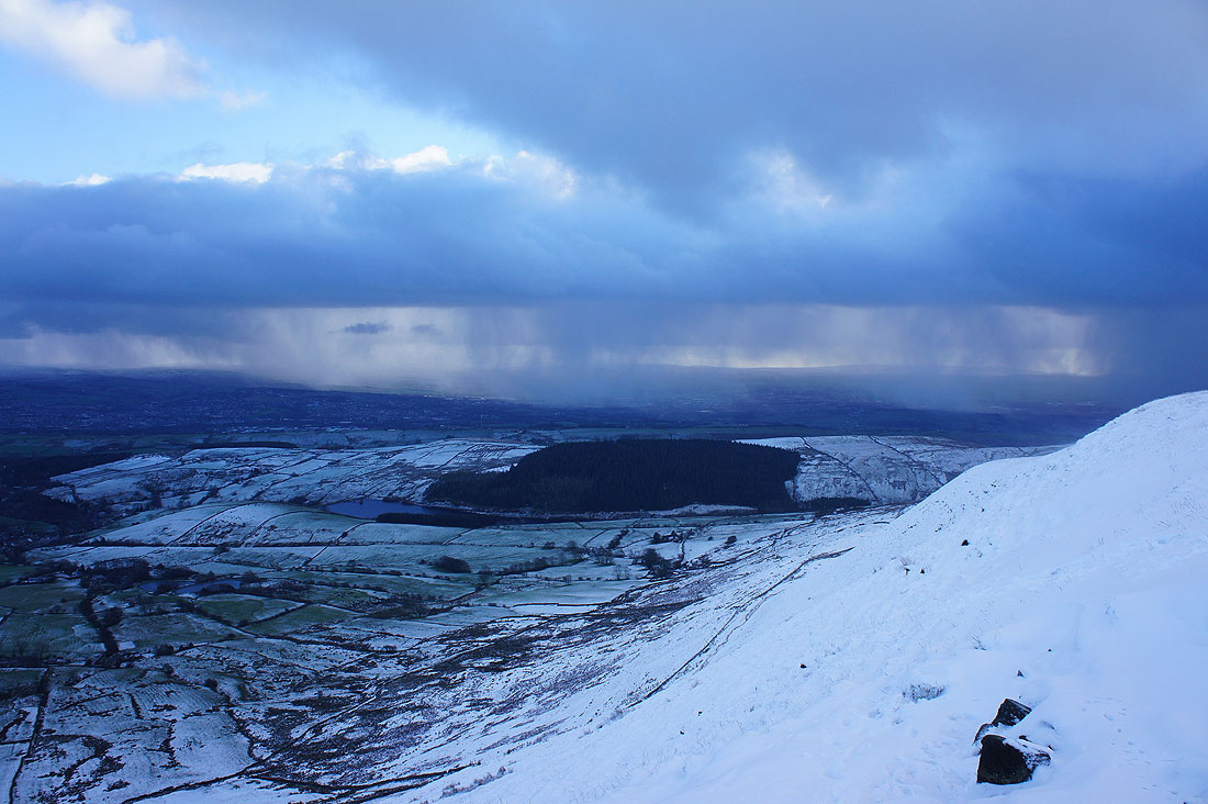
We've reached the wall at the top of the path and the strong, cold wind suddenly hits us. Until now we'd been in shelter and it had felt pretty warm so it came as a bit of a shock. Looking over the wall to a distant snow covered Forest of Bowland...
...and Yorkshire Dales
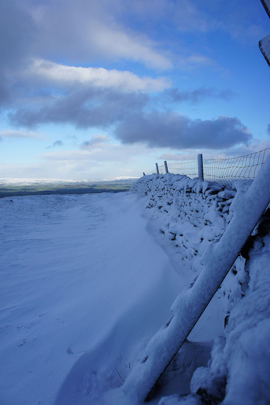
The snow is drifting up against the wall
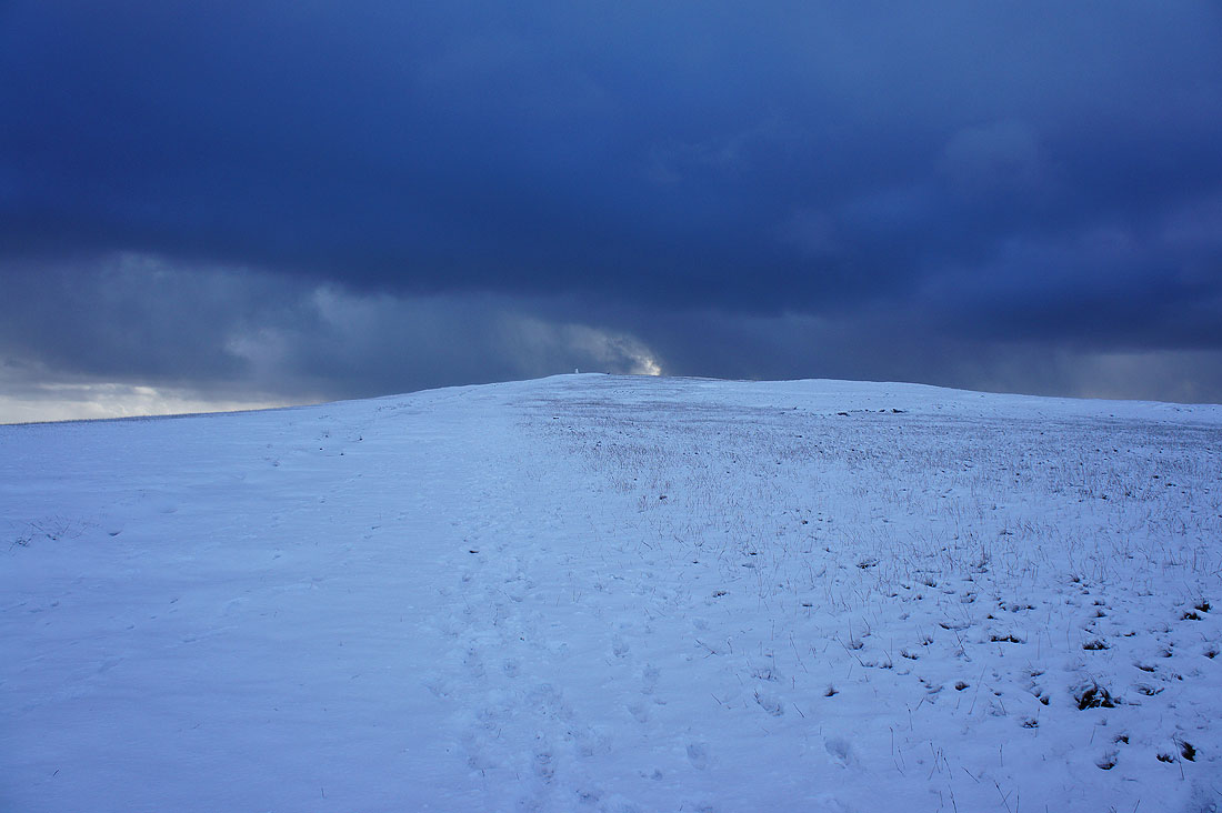
The trig point and summit is up there, along with some very dark looking clouds
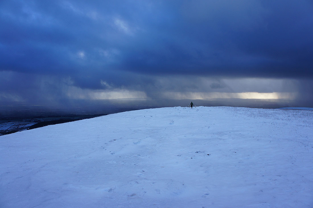
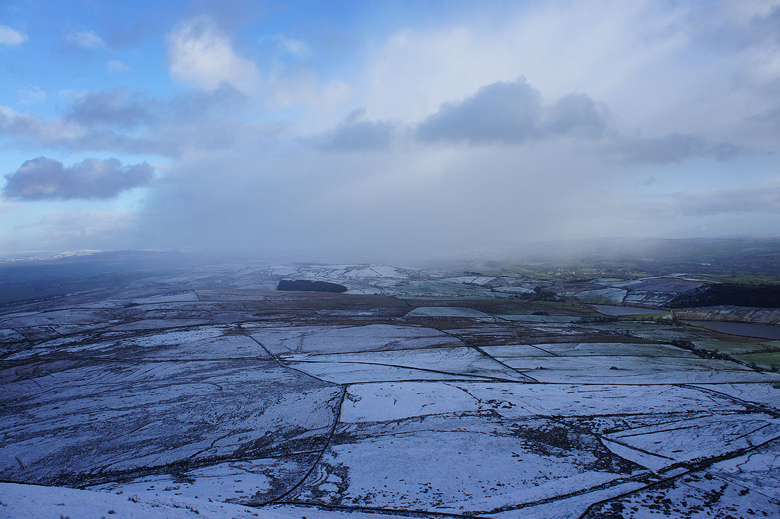
Another shower sweeps by just to the south..
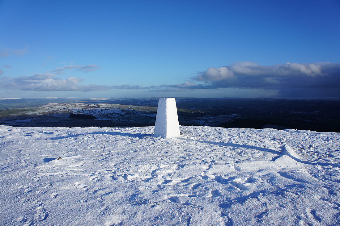
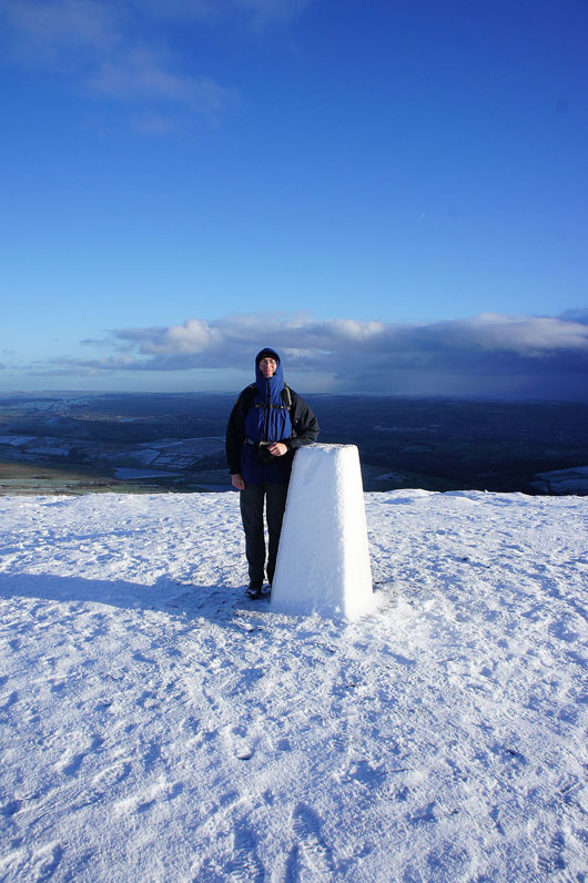
That's better. It was worth waiting ten minutes for the sun to return.
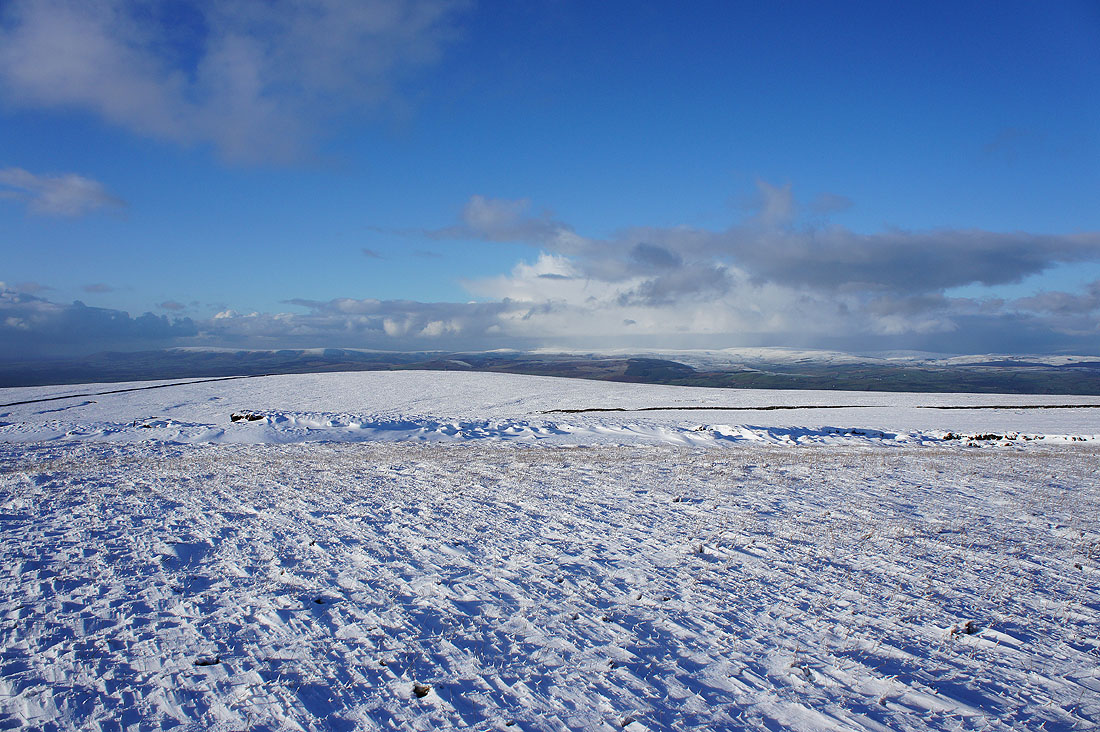
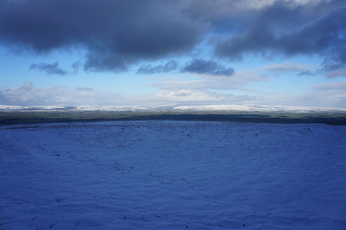
The Forest of Bowland to the northwest. It's noticeable how the snow line drops as it moves away from the coast and the warming influence of the sea.
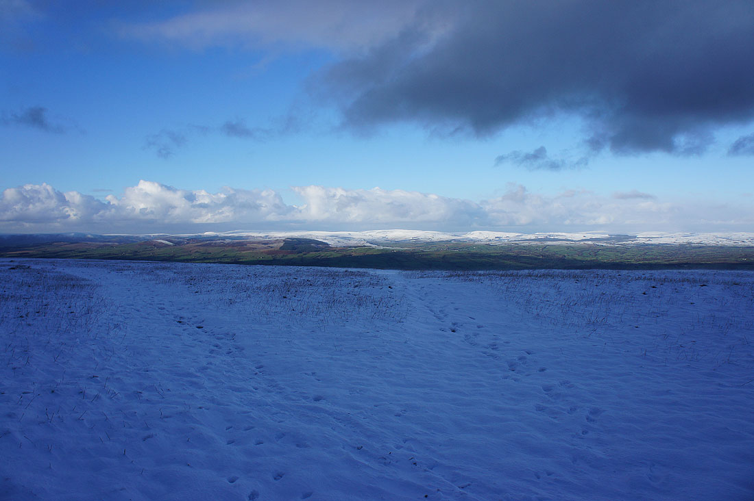
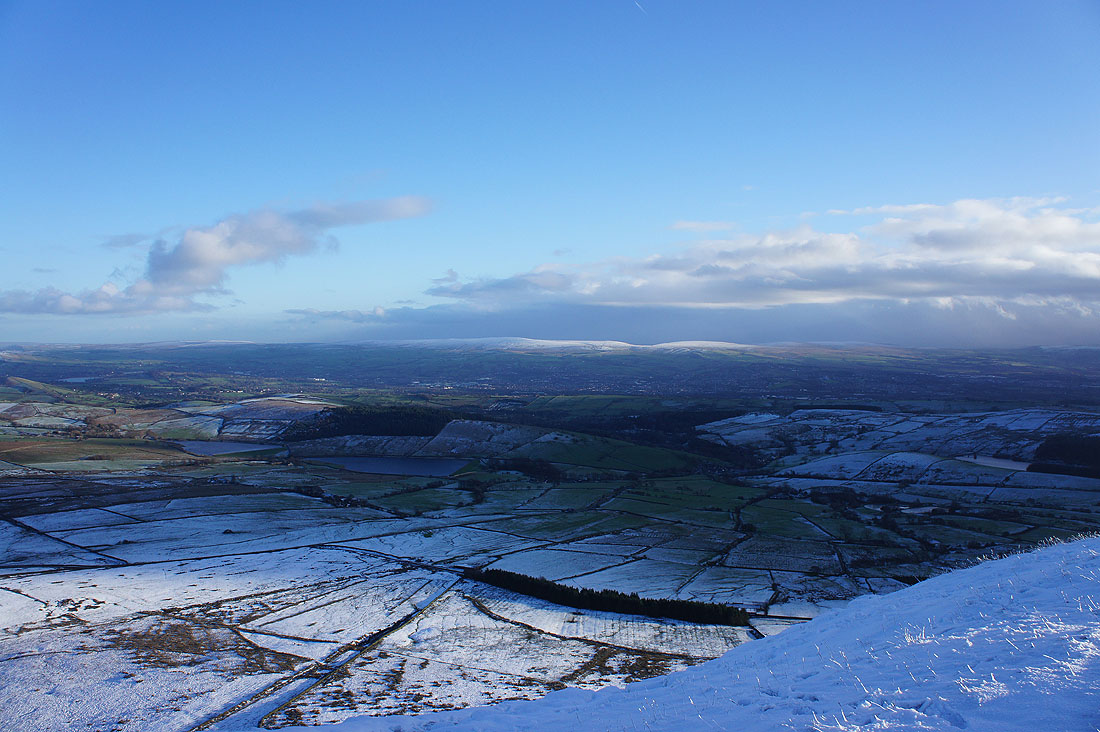
The fells of the Yorkshire Dales to the north. The tops of Ingleborough and Penyghent are in cloud.
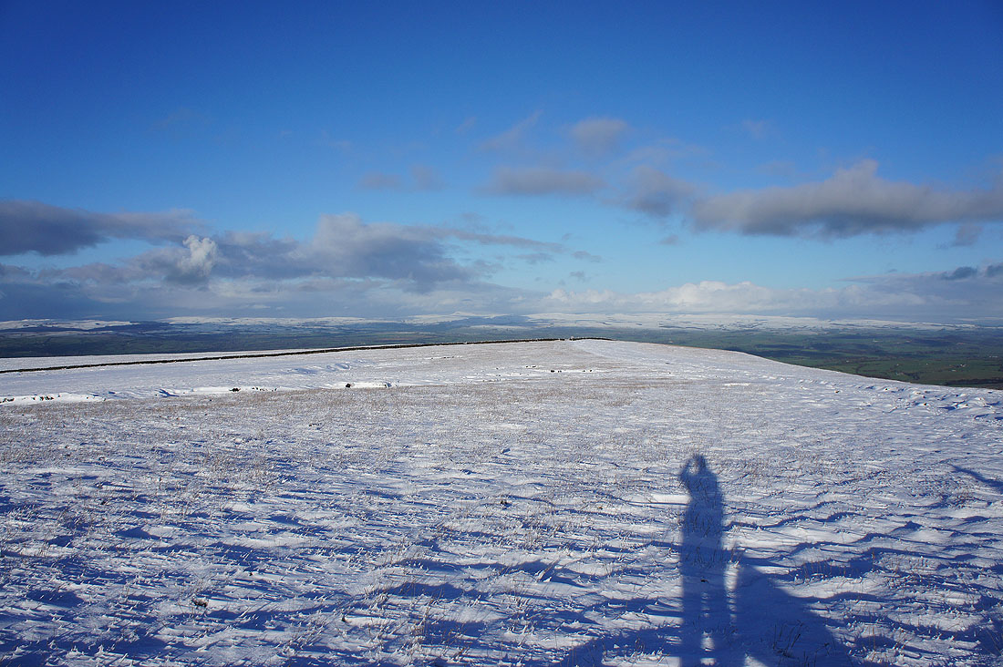
Barden Moor, Weets Hill and Skipton Moor to the northeast
|
|
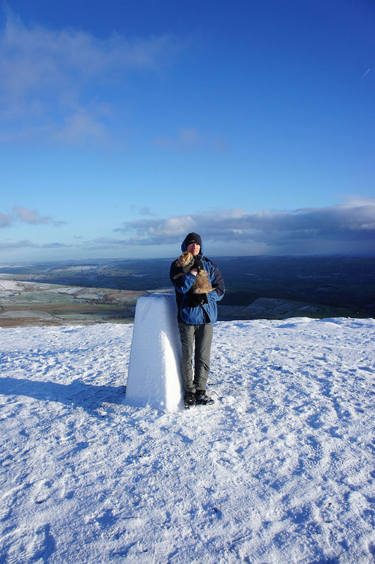
Me....and my brother Andy. Plus Ben, our companion on the ascent who lives in one of the farms at the foot of the hill. According to his owner he regularly makes his way up here on his own.
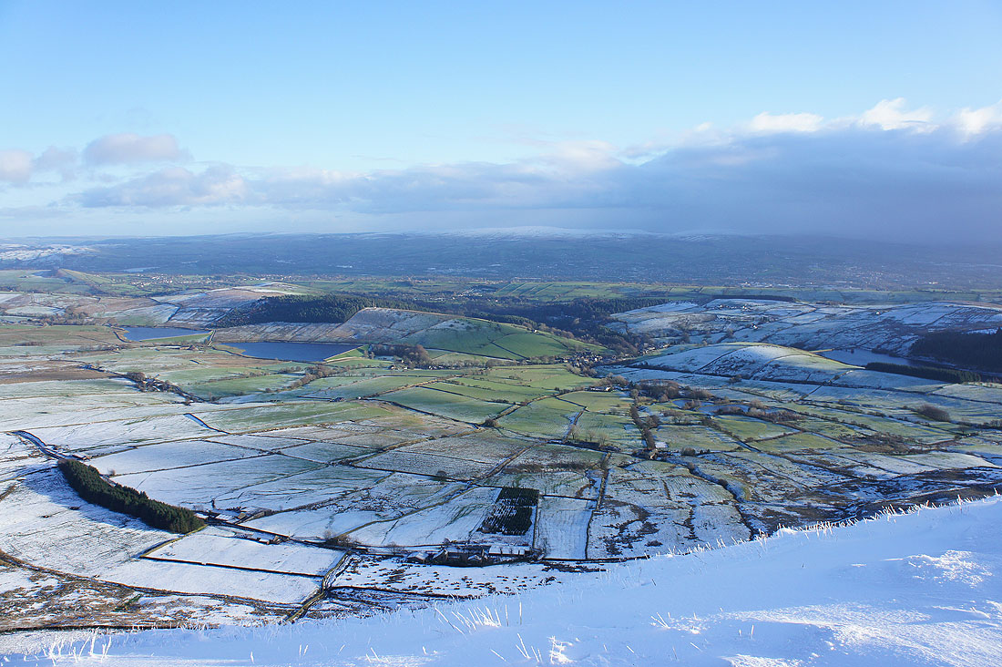
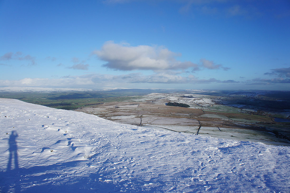
The Black Moss Reservoirs and Barley
The sun lights up the snow over on Boulsworth Hill
A last look back on the return to Barley