12th December 2020 - Kelbrook Moor and Noyna Hill
Walk Details
Distance walked: 5.6 miles
Total ascent: 1011 ft
OS map used: OL21 - South Pennines
Time taken: 2.5 hrs
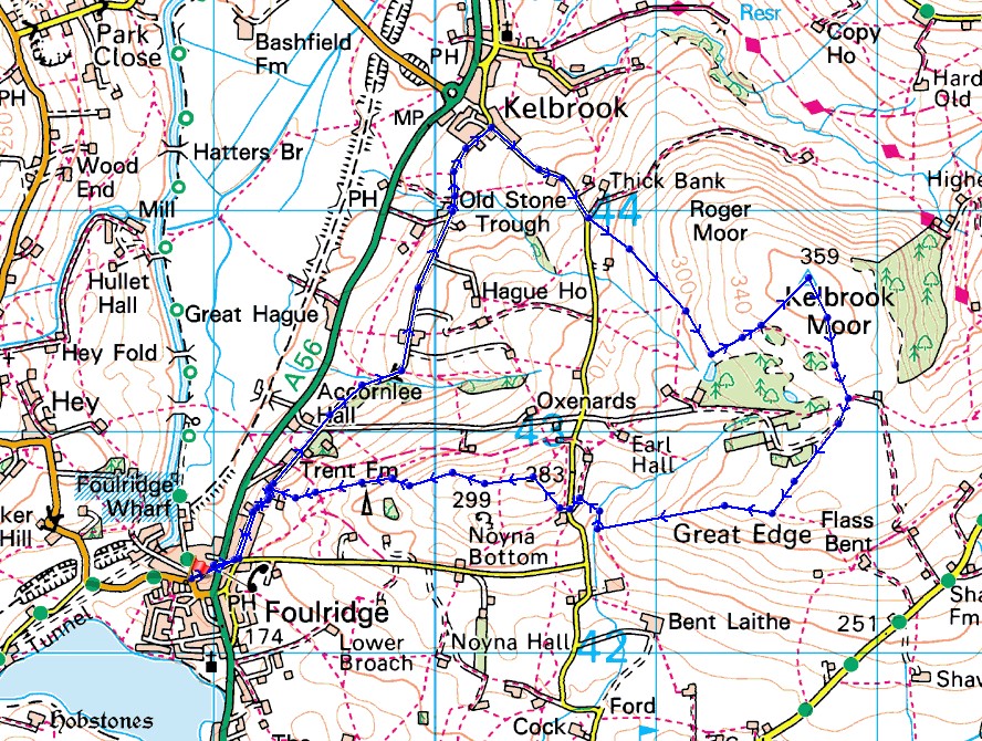
Route description: Foulridge-Skipton Old Road-Kelbrook-Cob Lane-Kelbrook Moor-Harwes Farm-Great Edge-Cob Lane-Noyna End Farm-Noyna Hill-Skipton Old Road-Foulridge
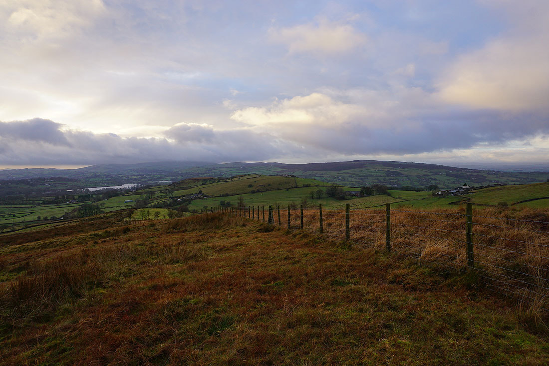
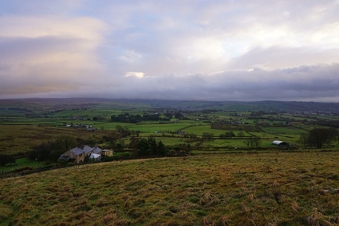
A weekend of poor weather was salvaged at the last minute with a short walk from home on Sunday afternoon. The rain was forecast to clear and for it to brighten up, but it took until after midday for the rain to finally stop. I picked a route onto the moors just to the east of where I live, taking in the trig point on Kelbrook Moor, Great Edge and Noyna Hill, which I took in the sunset from. The cloud was starting to break up, so there was a nice bit of colour in the sky.
From where I live in Foulridge I walked up to and across the A56, then up to and north along Skipton Old Road to Kelbrook. I then walked up Cob Lane from Kelbrook until I reached a track on the left to Harden New Hall, where I took a footpath that heads up across fields along the side of Kelbrook Moor. When the footpath reached a stile in a wall I crossed it, and left the path to follow the wall uphill to reach the trig point on Kelbrook Moor. From the trig point I then followed a path south across the moor to the edge of access land at Harwes Farm, then took the path southwest from Harwes Farm to Great Edge. I then made my way west down Great Edge and across Moss Houses Beck to reach Cob Lane and Noyna End Farm. From Noyna End Farm I took the path up onto Noyna Hill, across its top and down to Skipton Old Road for a return to Foulridge and home.
Route map
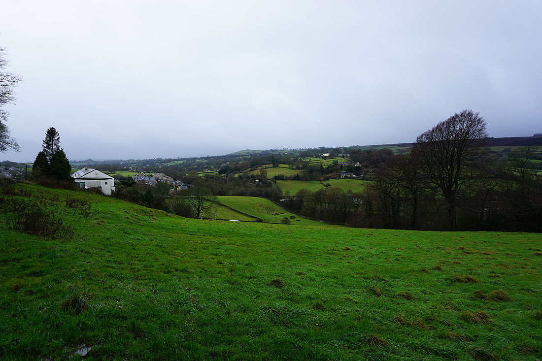
Foulridge from Skipton Old Road
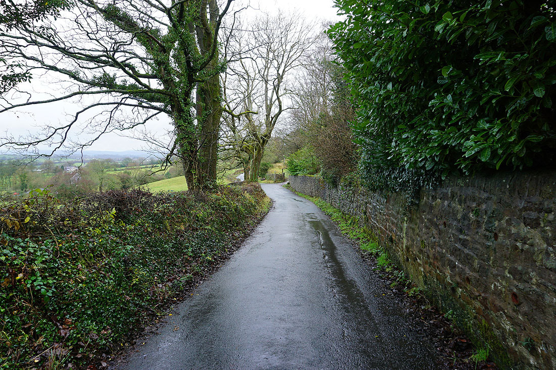
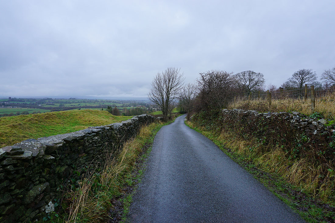
Following Skipton Old Road north to Kelbrook..
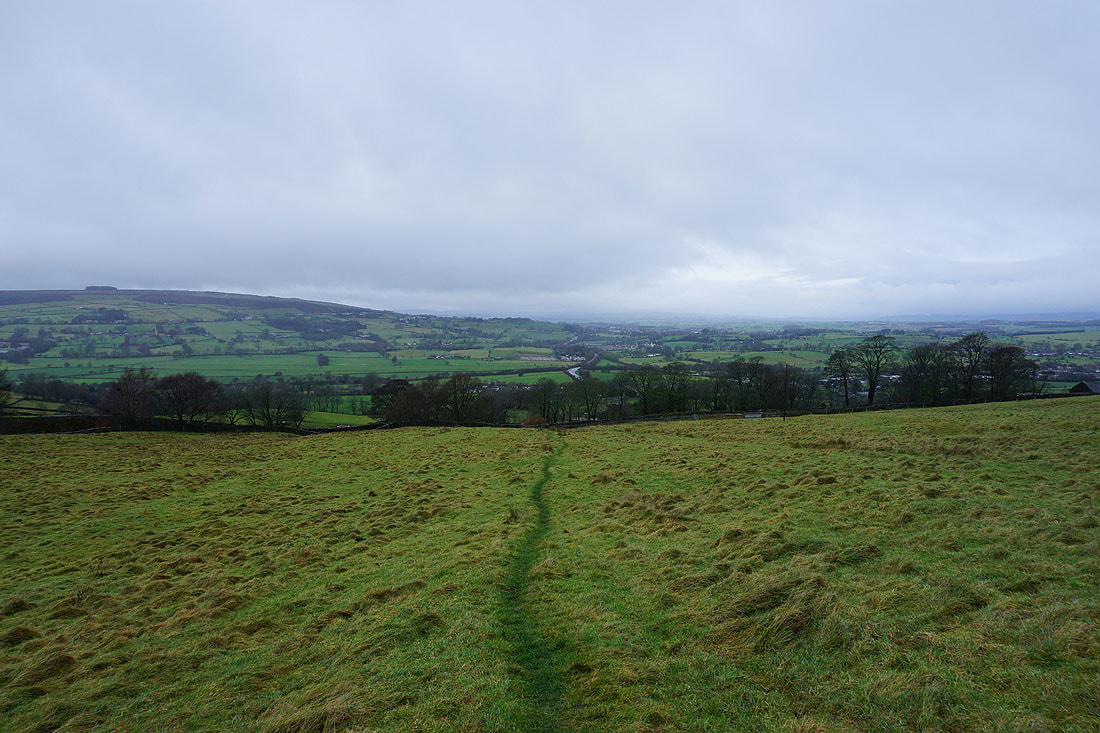
On the path up onto Kelbrook Moor from Cob Lane. Looking back with Weets Hill in the distance on the left.
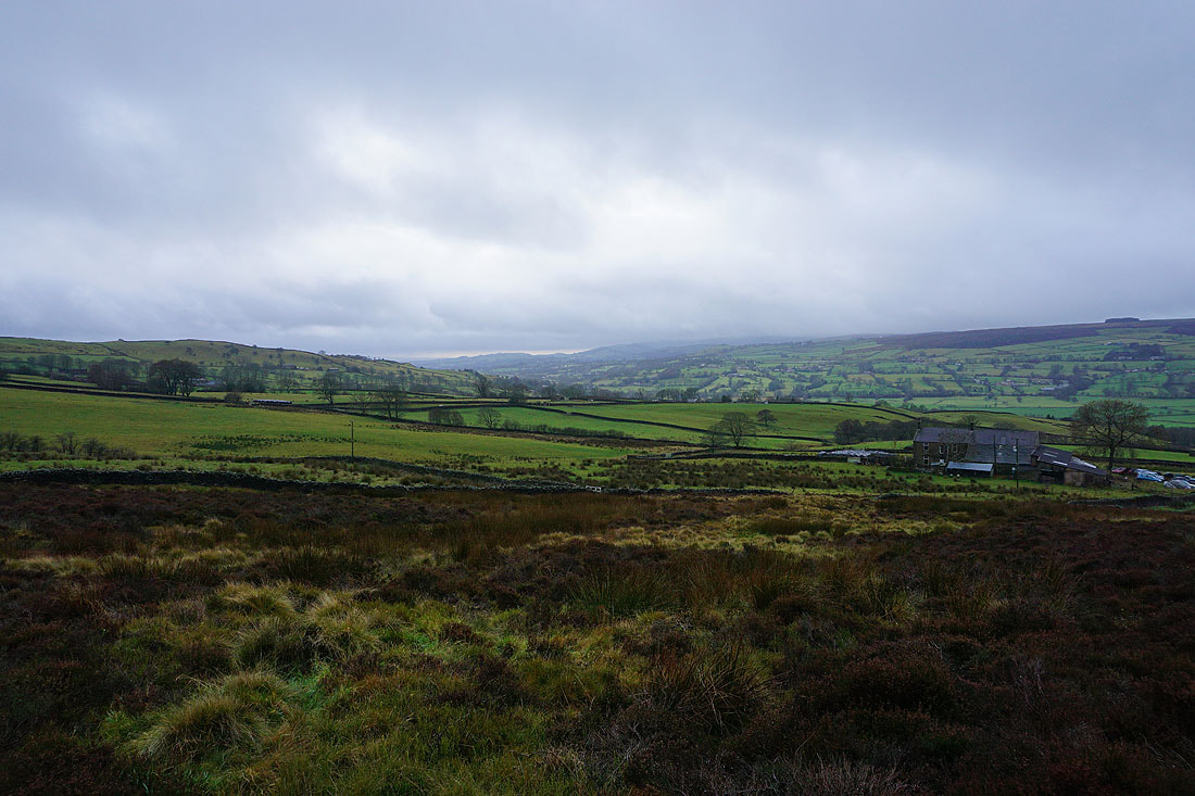
Above Hard Clough Farm with Noyna Hill on the left and White Moor in the distance on the right
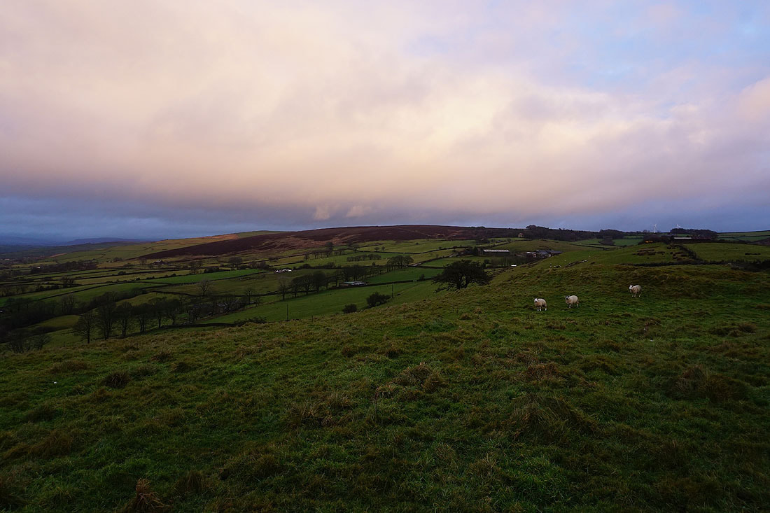
Another look back as I head up onto Kelbrook Moor. Despite the grey skies there's a good range of colours on the moor.
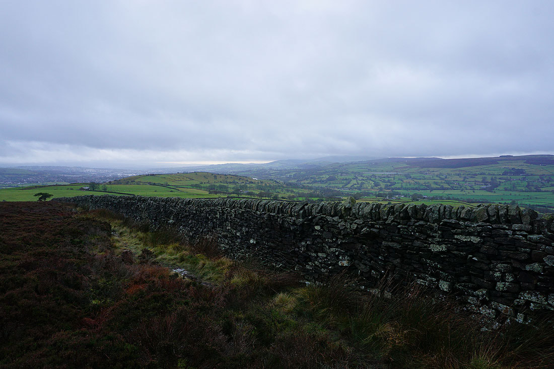
Noyna Hill below as I follow a wall up to the trig point on the top of Kelbrook Moor
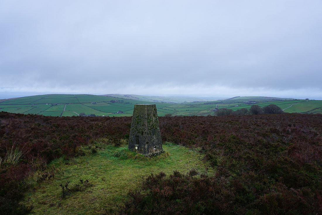
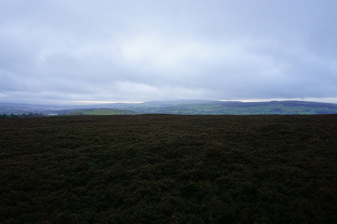
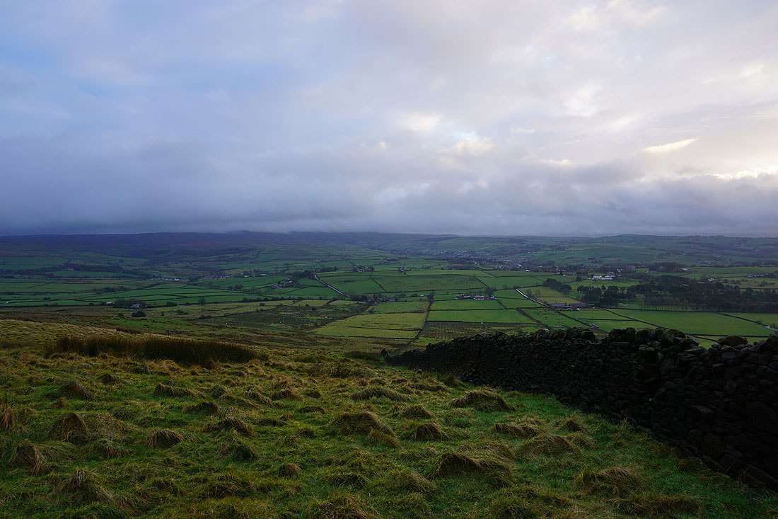
At the trig point on Kelbrook Moor looking towards the hills around Lothersdale, with Bleara Moor on the left and Hawshaw Hill on the right
A cloud covered Pendle Hill in the distance
and a cloud covered Boulsworth Hill to the south
Heading from Kelbrook Moor to Great Edge..
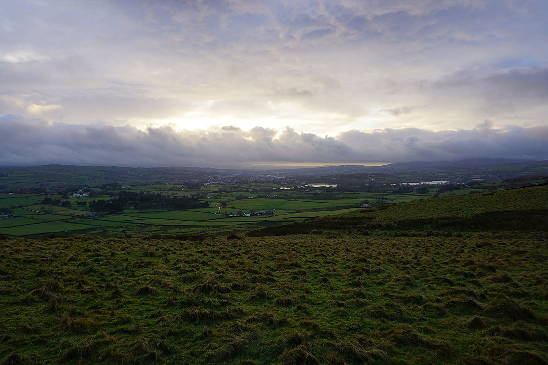
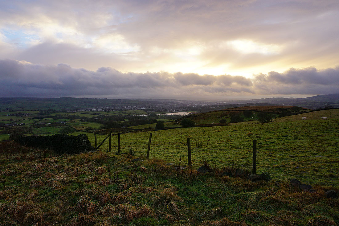
It took a while but it's finally starting to brighten up. On Great Edge, looking towards Colne and Foulridge Upper and Lower Reservoirs.
A cloud topped Boulsworth Hill and the Forest of Trawden
Foulridge Upper and Lower Reservoirs, a cloud topped Pendle Hill, and Noyna Hill
Kelbrook Moor
Pendle Hill, Noyna Hill and White Moor
Boulsworth Hill and the Forest of Trawden as I head up Noyna Hill from Noyna End Farm
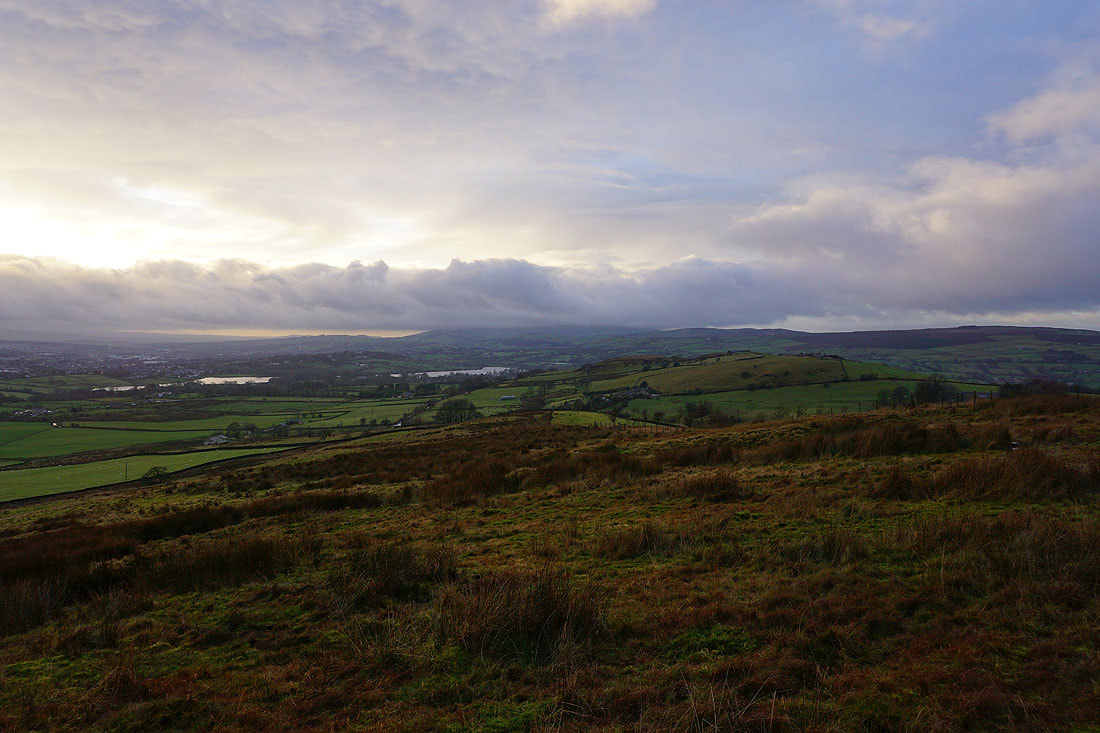
Colne and Foulridge Upper Reservoir
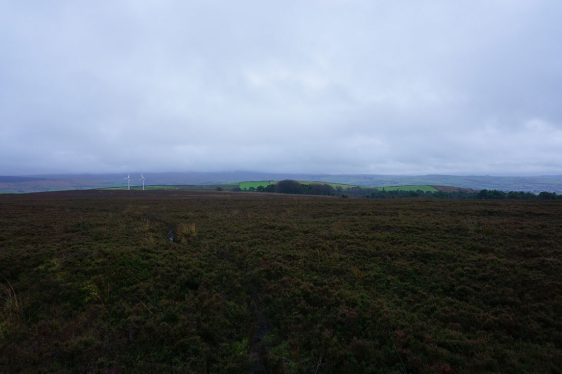
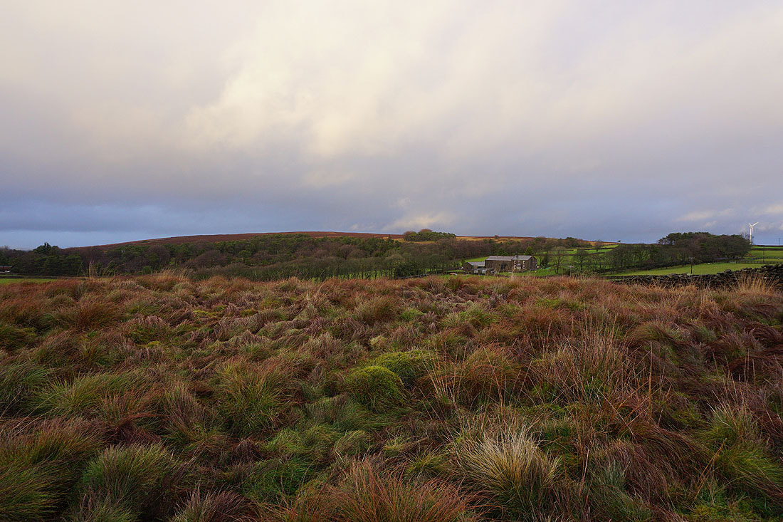
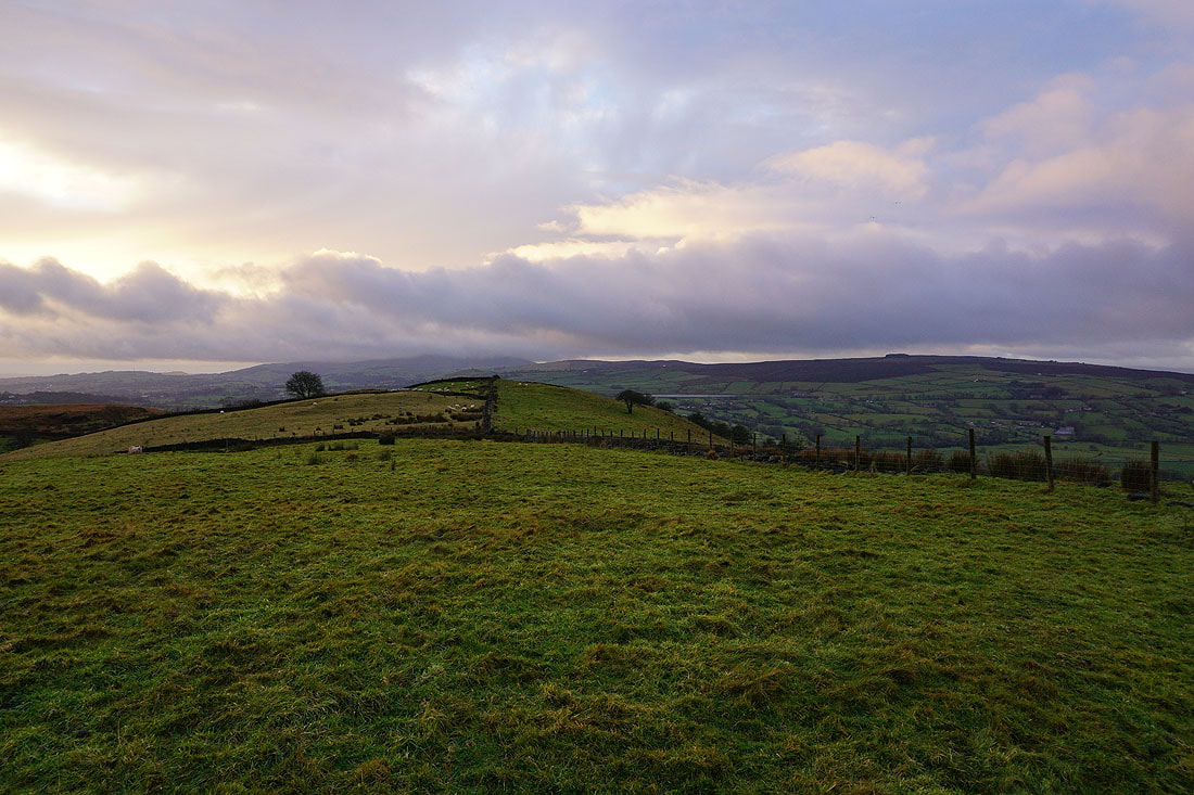
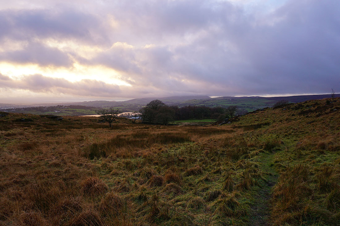
Looking across the top of Noyna Hill to Pendle Hill and White Moor
Kelbrook Moor
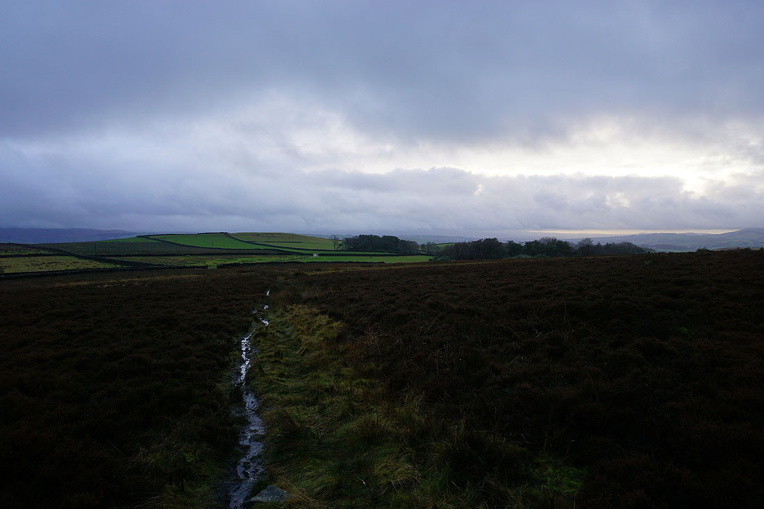
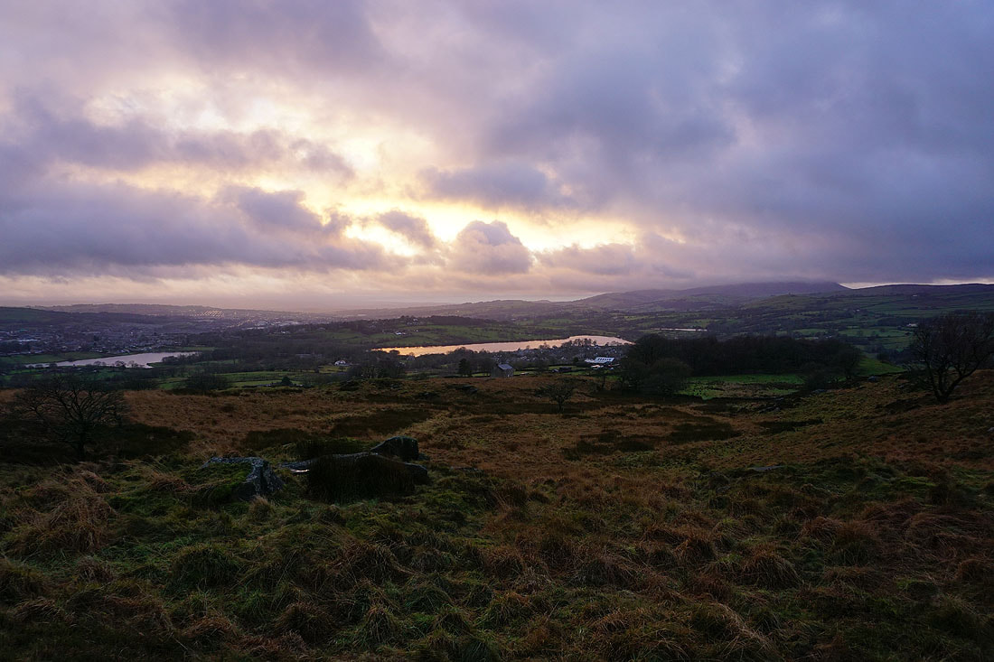
A bit colour in the sky as the sun sets while I'm on Noyna Hill..
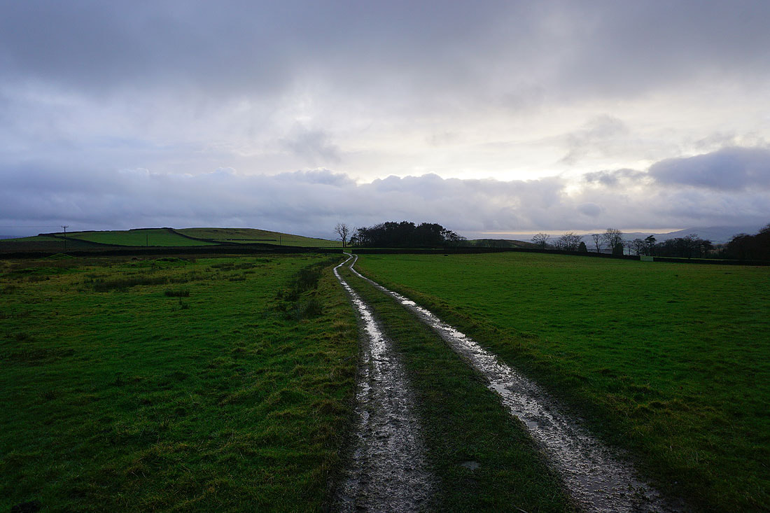
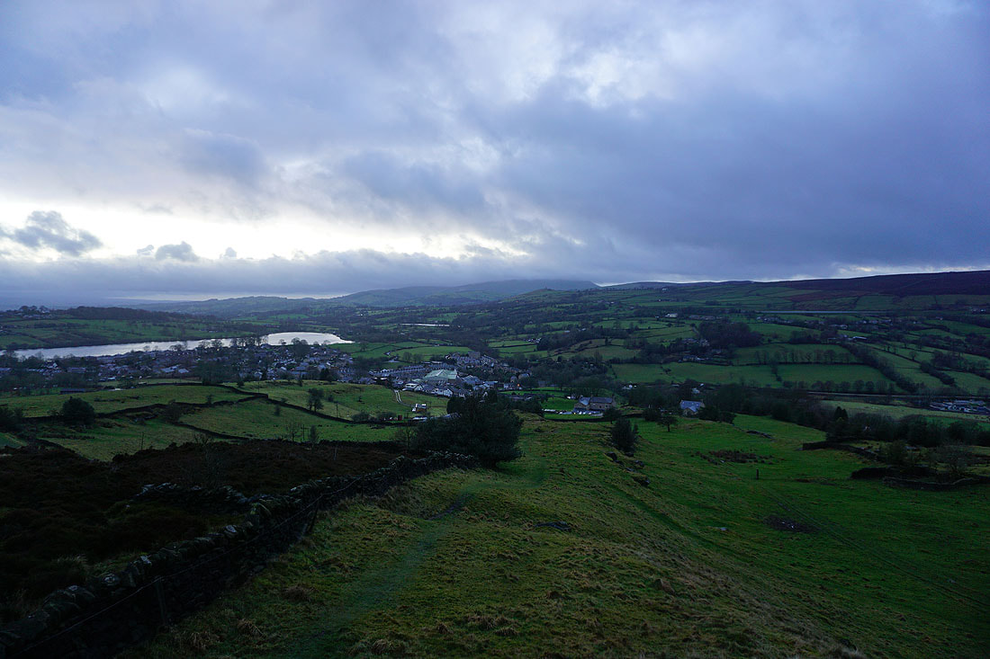
Heading down to Foulridge and home
