12th December 2021 - Kelbrook Moor and Noyna Hill
Walk Details
Distance walked: 8.0 miles
Total ascent: 1267 ft
OS map used: OL21 - South Pennines
Time taken: 4 hrs
Route description: Foulridge-Skipton Old Road-Waterloo Road-Main Street-Kelbrook-Harden Road-Heads Lane-Pennine Bridleway-Kitchen Farm-Pennine Bridleway-Burnt Hill-Black Lane Ends-Piked Edge-Harwes Farm-Kelbrook Moor-Harwes Farm-Great Edge-Cob Lane-Noyna Hill-Skipton Old Road-Foulridge
Poor weather this weekend has seen me resort to doing an afternoon walk from home onto my local moors. The restrictions and lockdown of last autumn and winter made me really appreciate what I have on my doorstep, and the walks that I could do for the time I had. Today I went up onto the moors to the east of Foulridge, and with it forecast to stay overcast and pretty dull I wasn't expecting too much. However, the cloud started to break up as I headed up onto the moors above Kelbrook and I ended up enjoying a couple of hours of winter sunshine, and with the mild temperatures it felt great to be out.
From where I live in Foulridge I walked up to and across the A56, then up to and north along Skipton Old Road to Kelbrook, and down Waterloo Road and Main Street. I then turned right onto Harden Road and walked to its end and onto Heads Lane. I then walked up Heads Lane to its end and onto the Pennine Bridleway and up Harden Clough to Kitchen Farm, where I took the track above Kitchen Farm and followed it up onto Burnt Hill, then the footpath across to Piked Edge above Black Lane Ends, and then from Piked Edge across to Harwes Farm. I then made my way up Kelbrook Moor to visit the trig point before returning to Harwes Farm, from where I took the footpath southwest onto Great Edge. I then followed the path west down Great Edge and across Moss Houses Beck and up to Cob Lane. A path from Cob Lane at Noyna End Farm took me up onto Noyna Hill, and the path west across its top and down to Skipton Old Road was followed. A short walk back to my home in Foulridge was left.
Route map
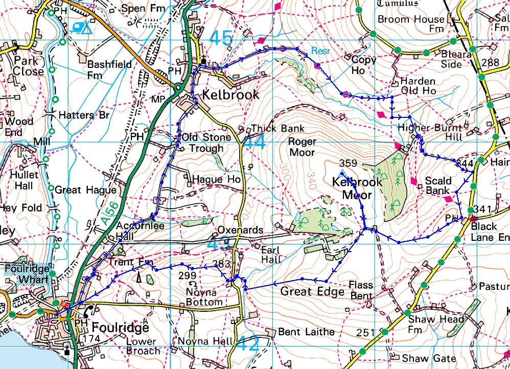
© Crown copyright. All rights reserved. License number PU 100034184.
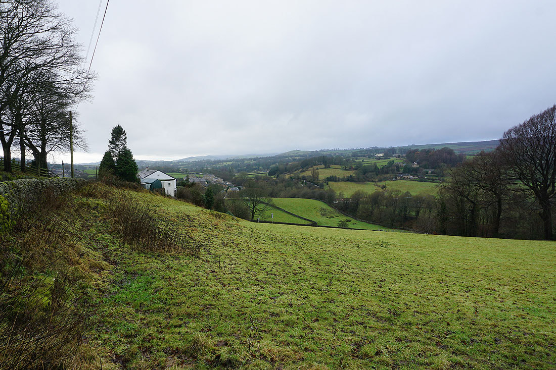
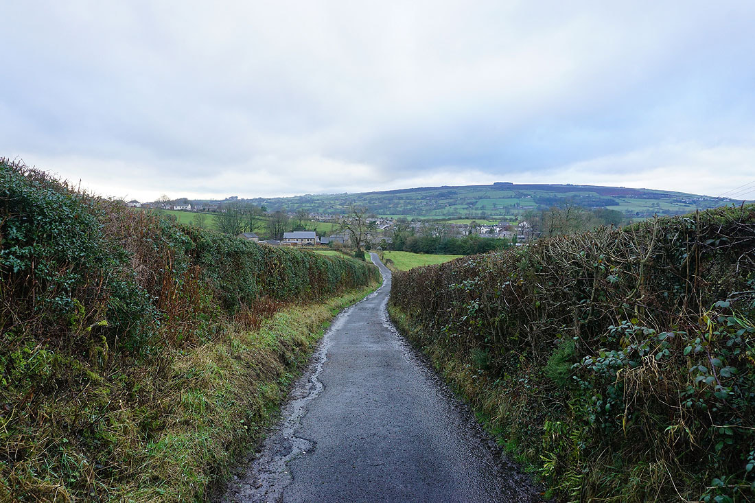
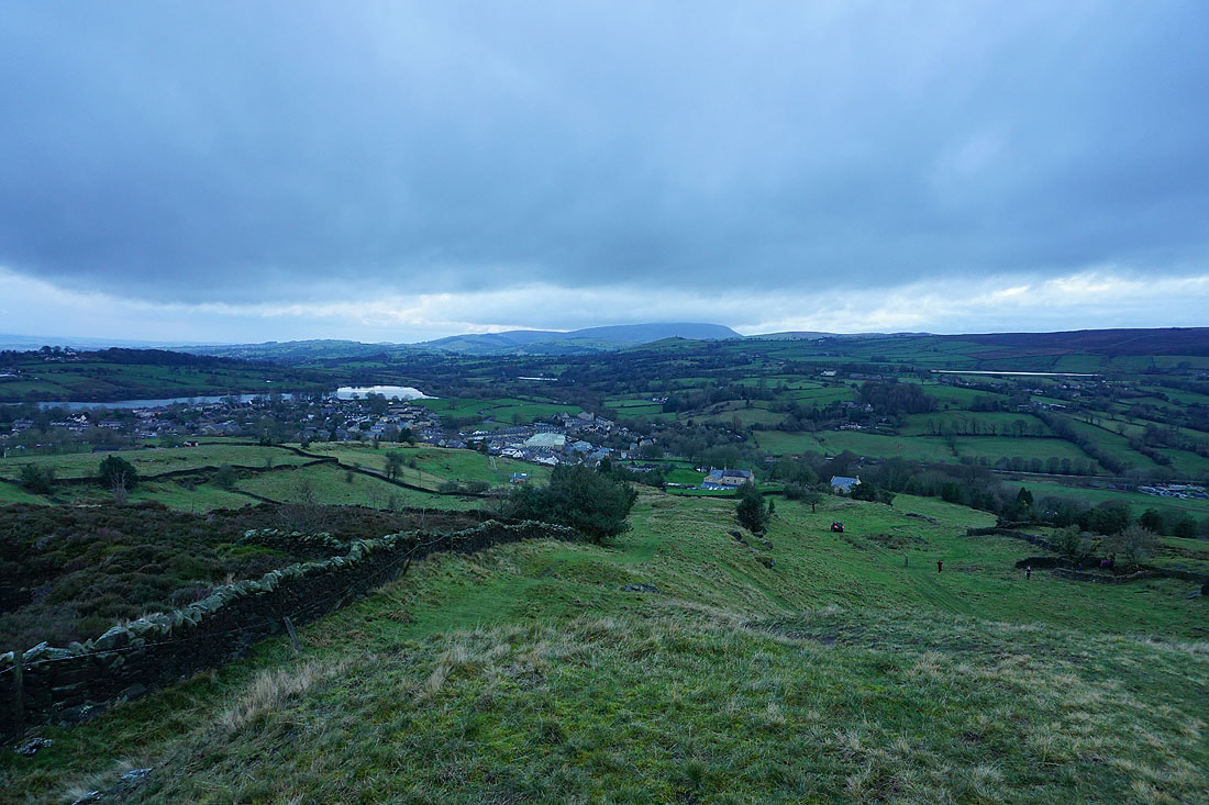
Leaving Foulridge under grey skies
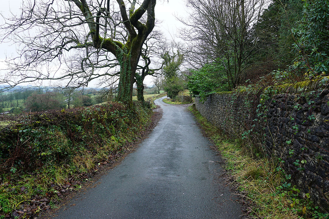
Walking north along Skipton Old Road to Old Stone Trough and then Kelbrook..
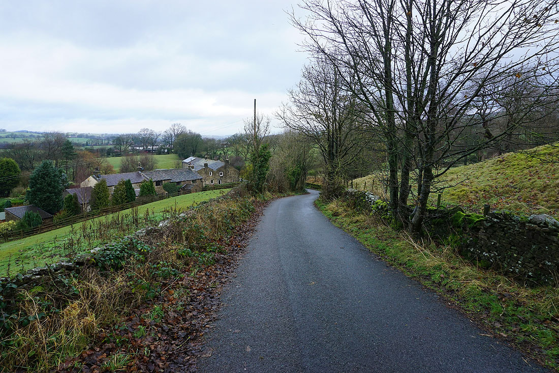
Looking back to Kelbrook as I follow the Pennine Bridleway up Heads Lane..
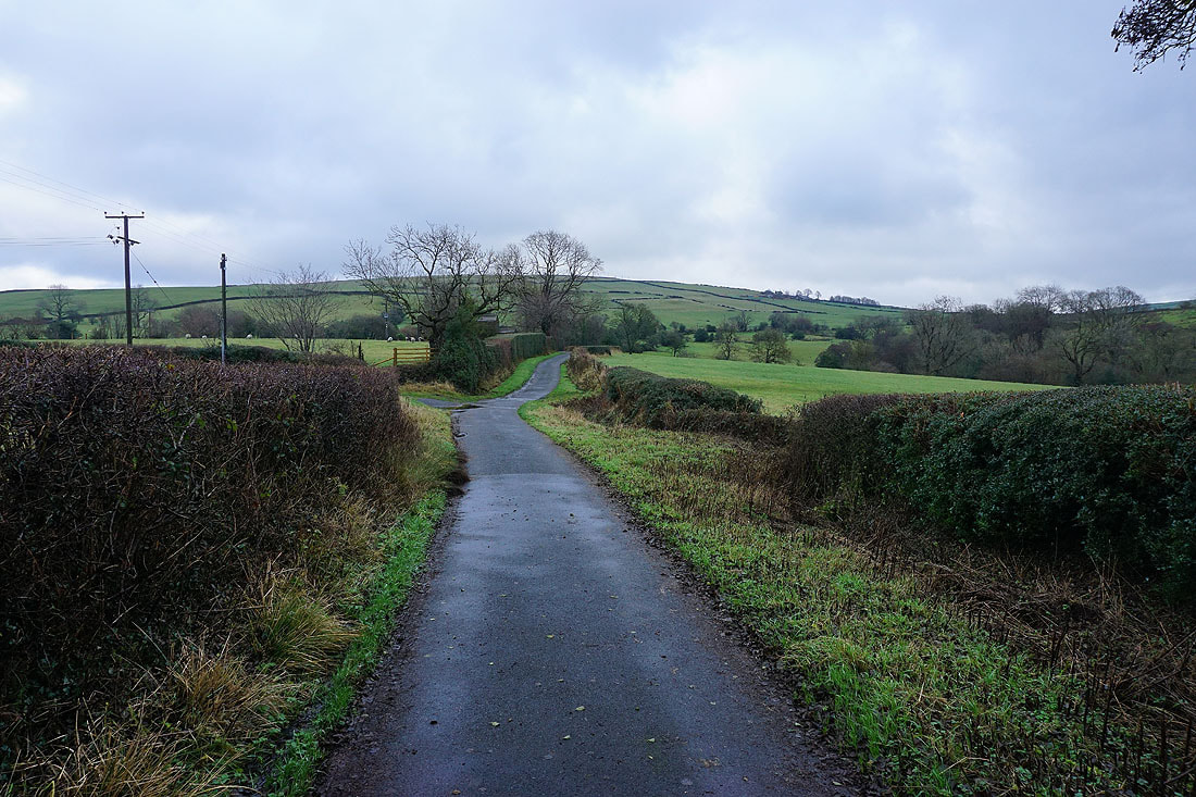
At the top of Heads Lane I keep on the Pennine Bridleway as it makes its way up Harden Clough..
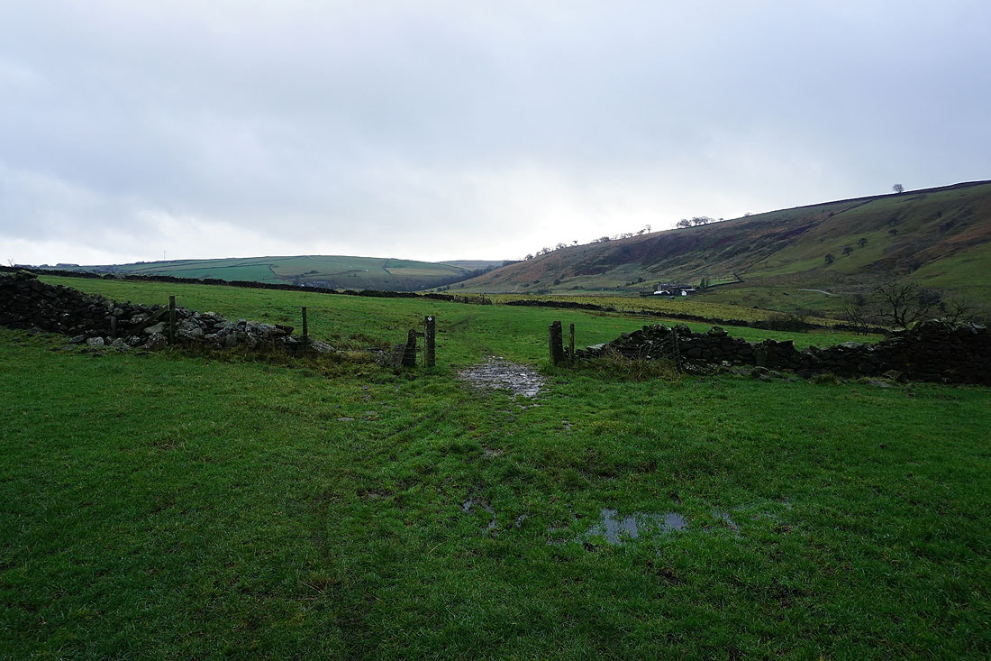
..down to Harden Beck..
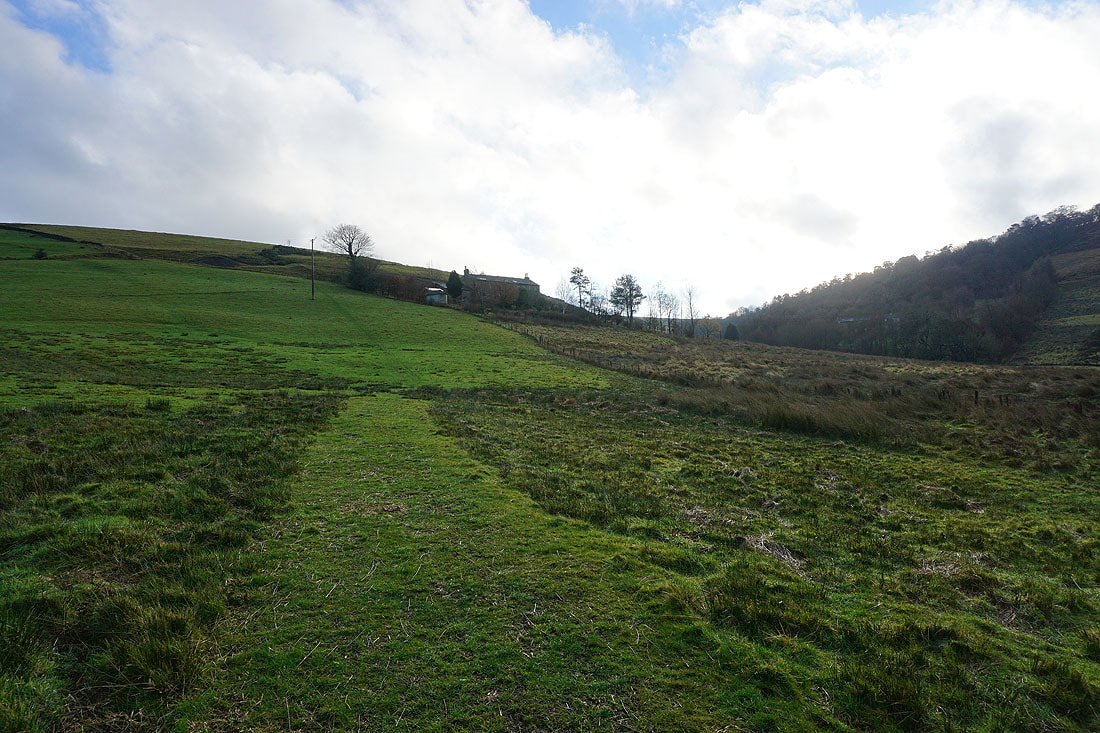
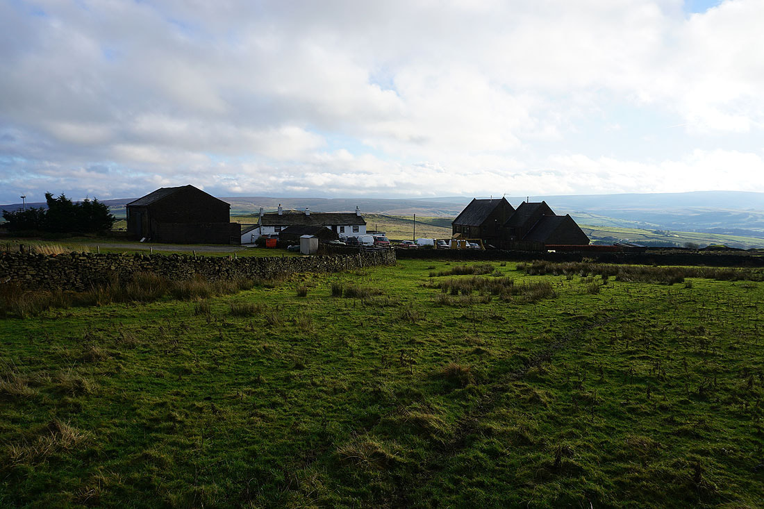
..and then up to Kitchen Farm
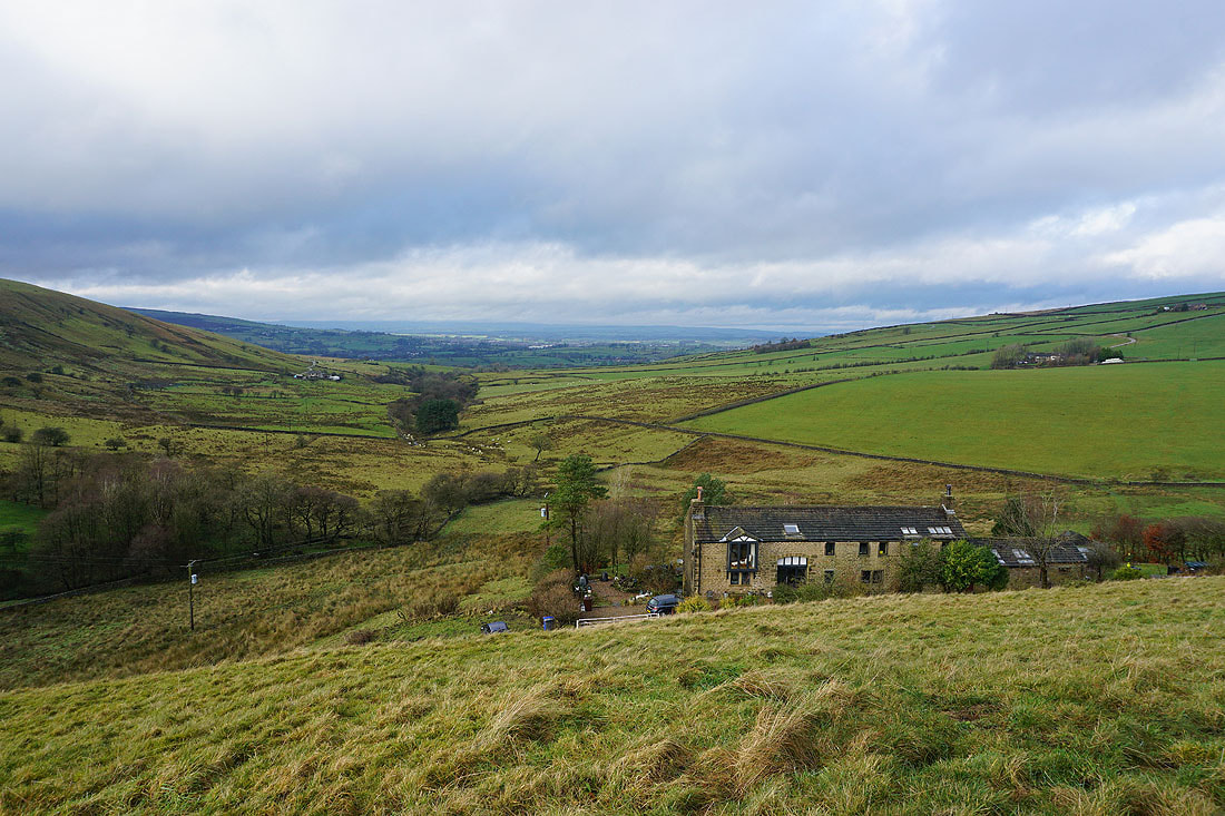
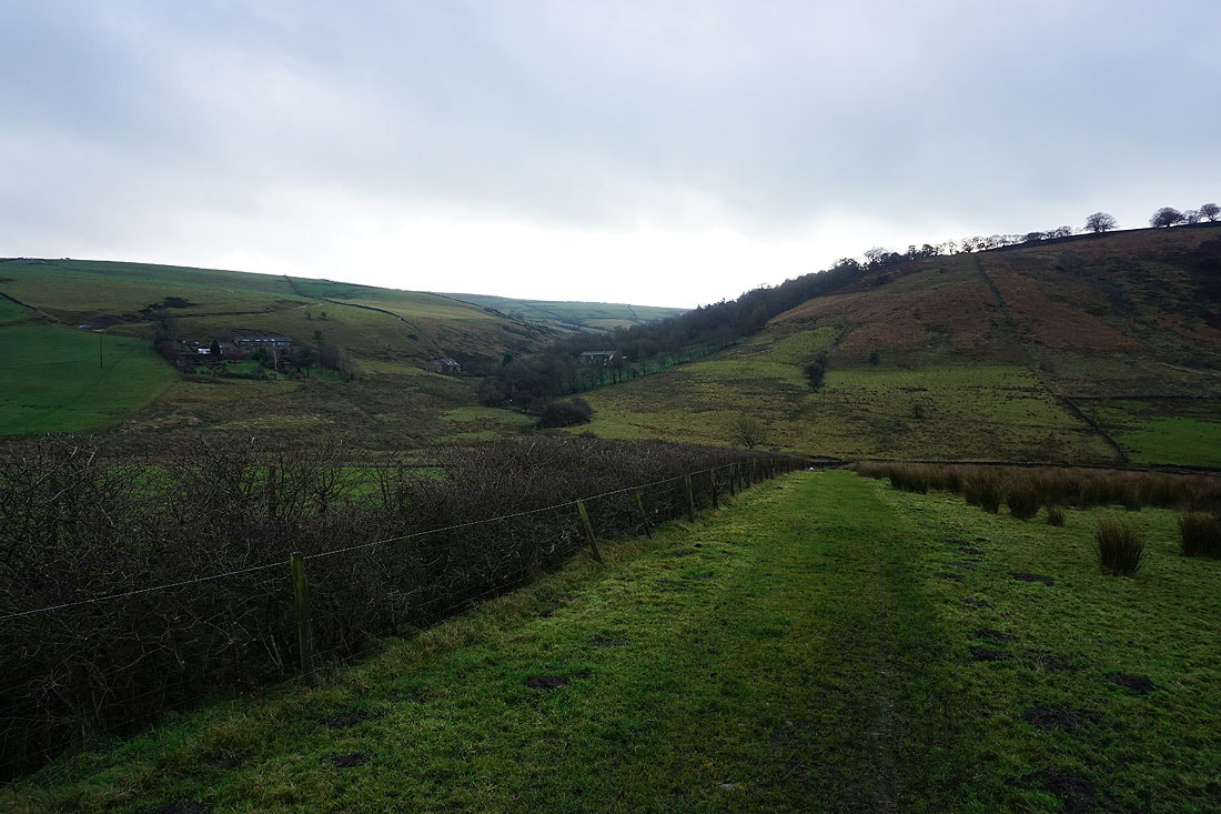
Looking down Harden Clough from above Kitchen Farm
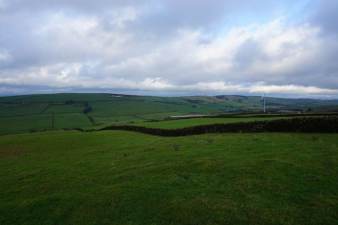
Bleara Moor, Thornton Moor and Pinhaw Beacon from Burnt Hill
On the Pennine Bridleway across Burnt Hill
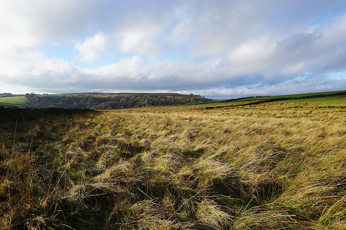
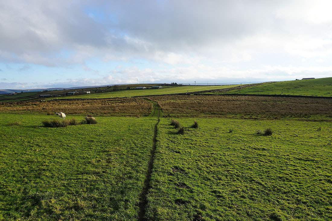
Looking west to Kelbrook Moor
At Black Lane Ends
Boulsworth Hill in the distance as I head up onto Piked Edge
On Piked Edge. Looking east to Earl Crag and the moors around Airedale. I didn't expect the cloud to break up like this, it's great to be out in this winter sunshine.
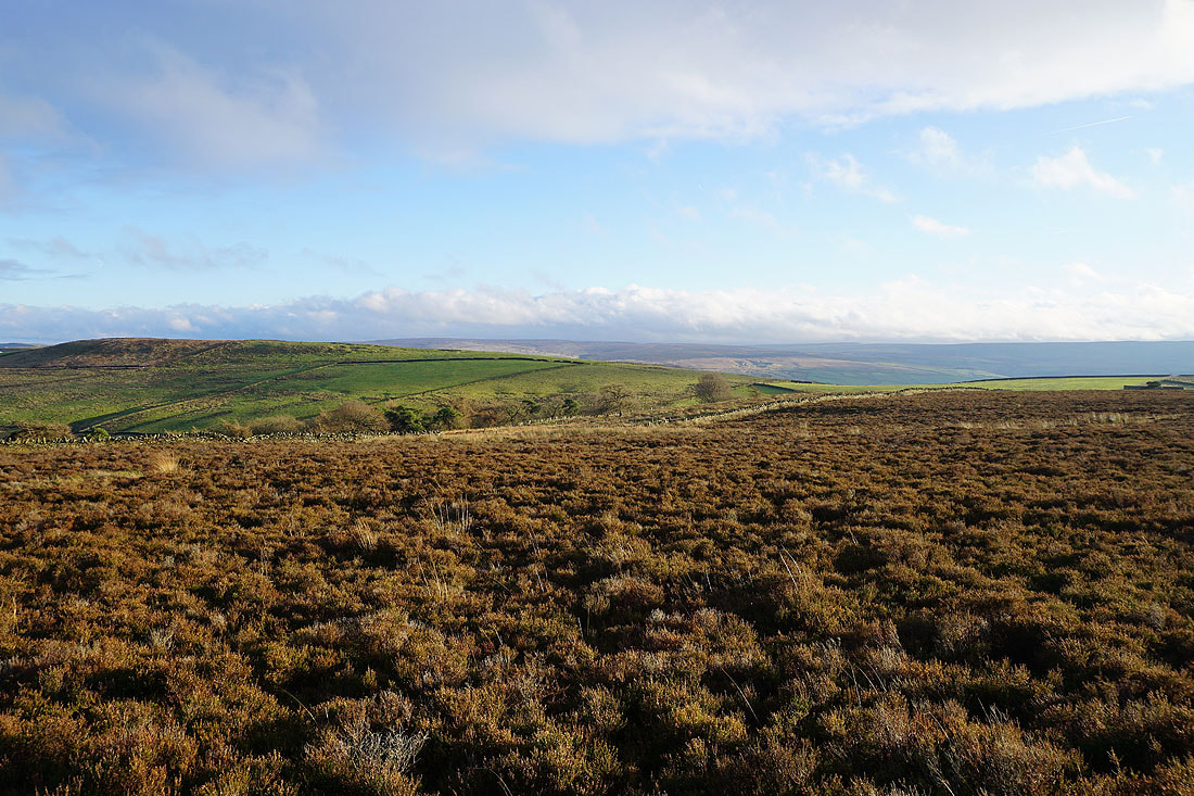
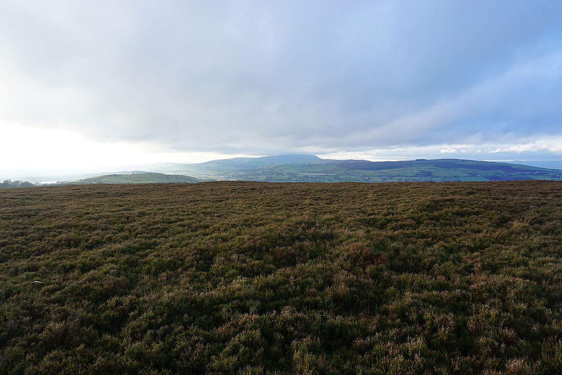
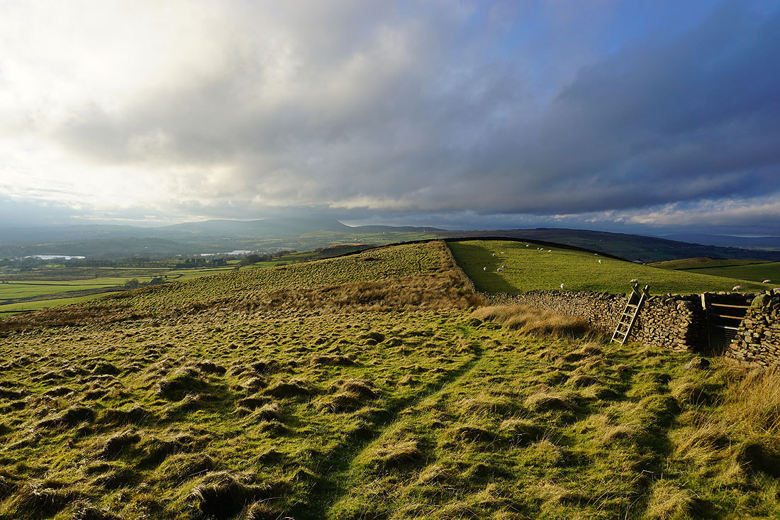
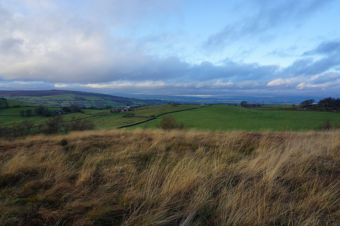
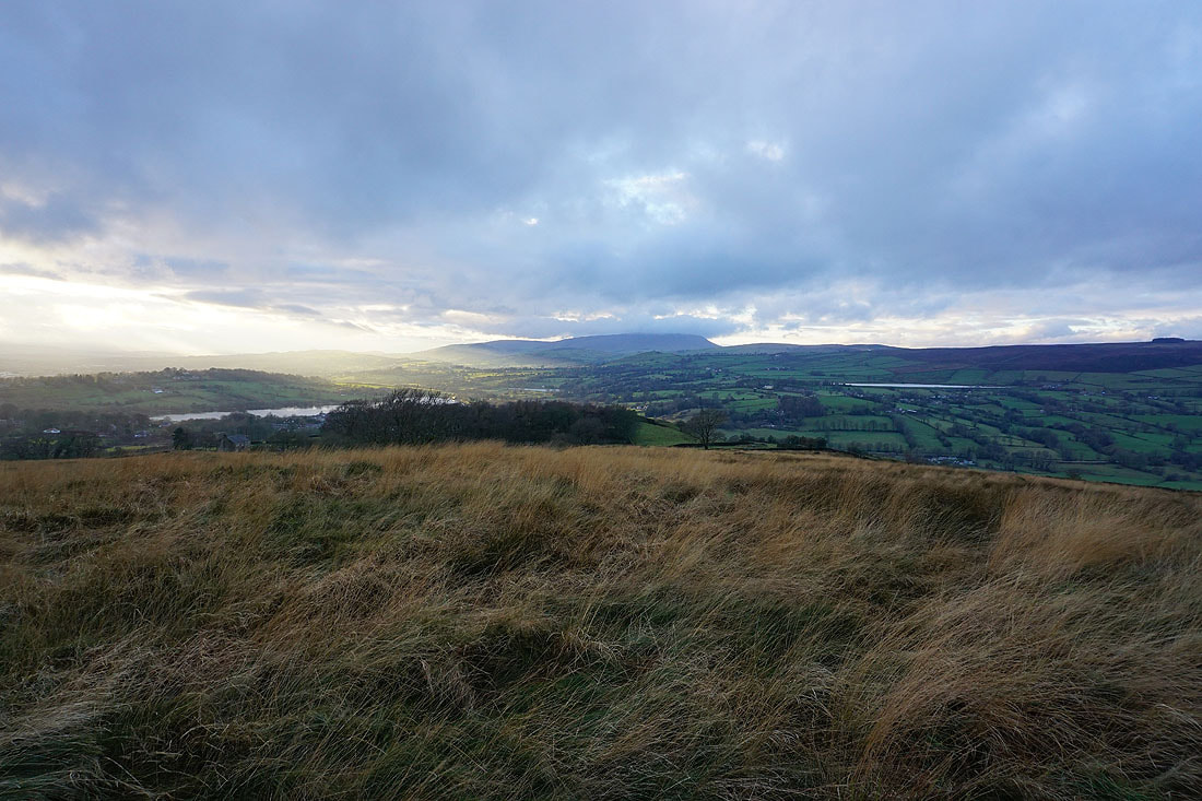
Kelbrook Moor on the left with the cloud covered Forest of Bowland and Yorkshire Dales in the distance
Black Lane Ends with Earl Crag in the distance
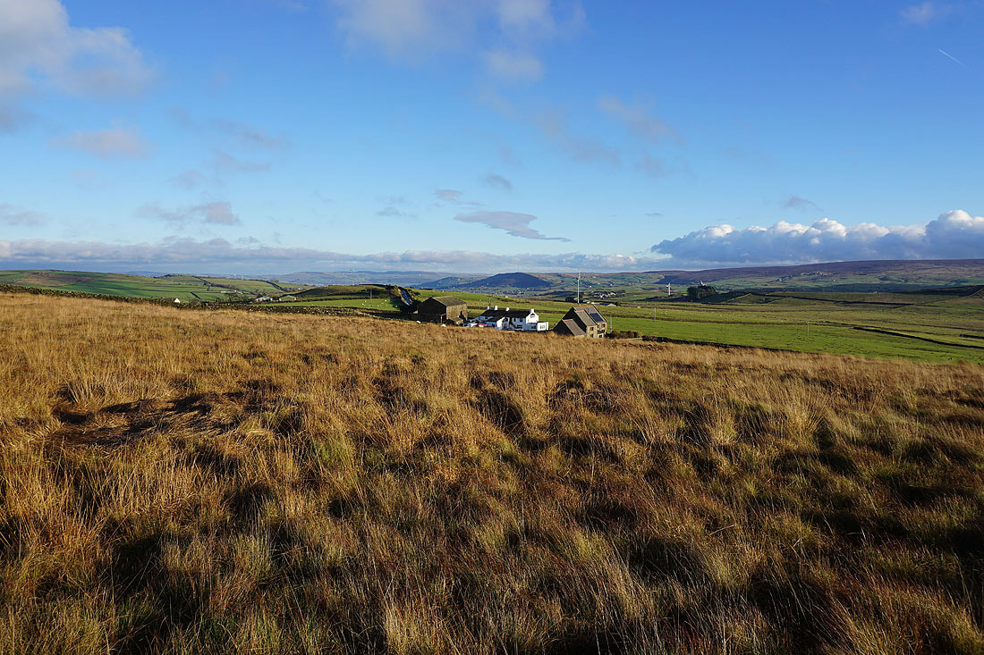
Pendle Hill and Kelbrook Moor as I follow the path from Piked Edge to Harwes Farm
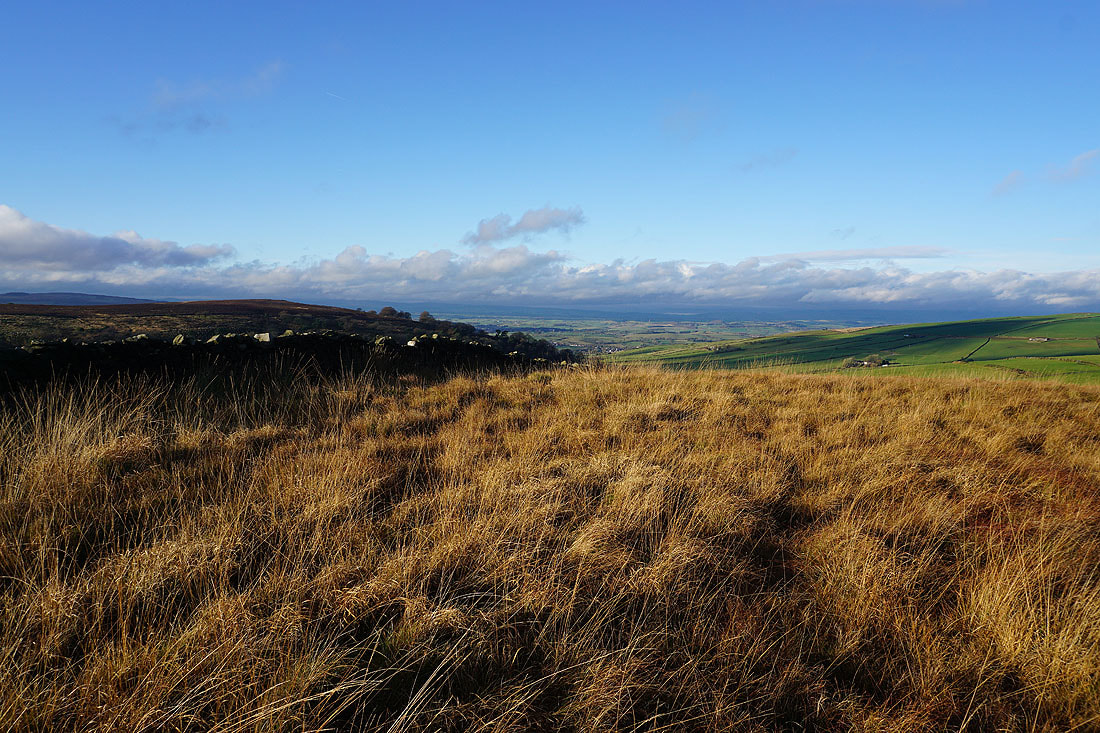
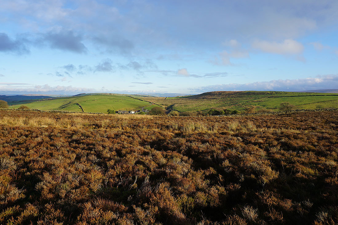
Kelbrook Moor, Kelbrook Wood and Bleara Moor
Burnt Hill and Piked Edge as I head up onto Kelbrook Moor
Piked Edge with Ickornshaw Moor in the distance
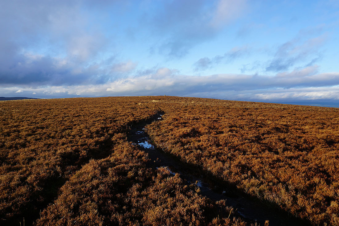
The trig point on Kelbrook Moor is in sight
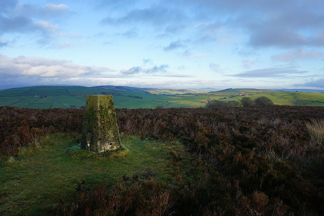
At the trig point on Kelbrook Moor. The moors around Lothersdale to the east.
Pendle Hill and White Moor to the west
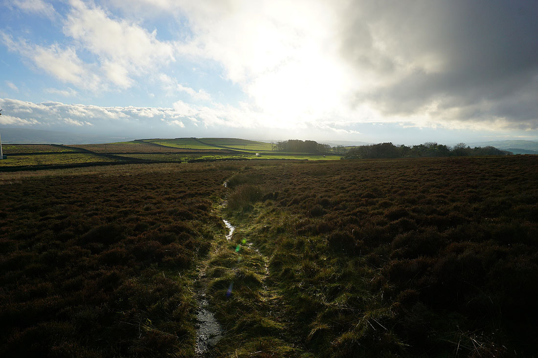
The sun is back out as I leave Kelbrook Moor and head for Great Edge
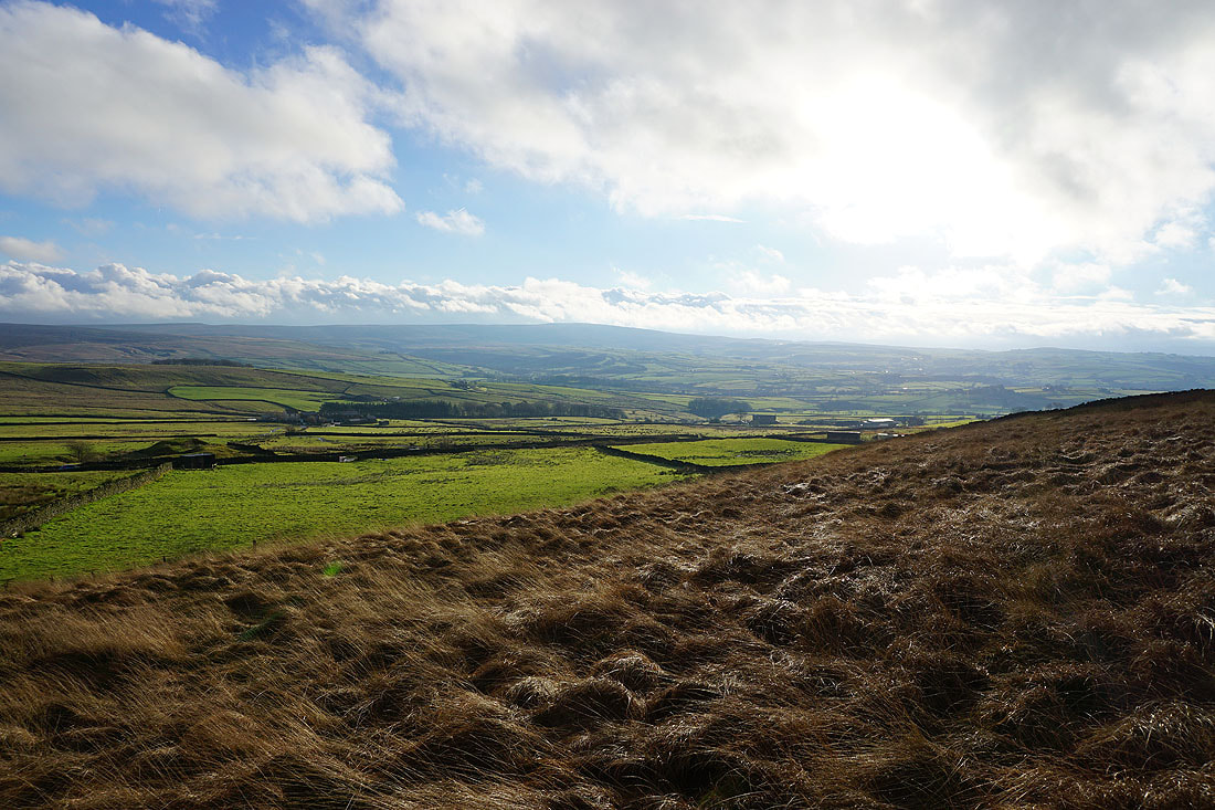
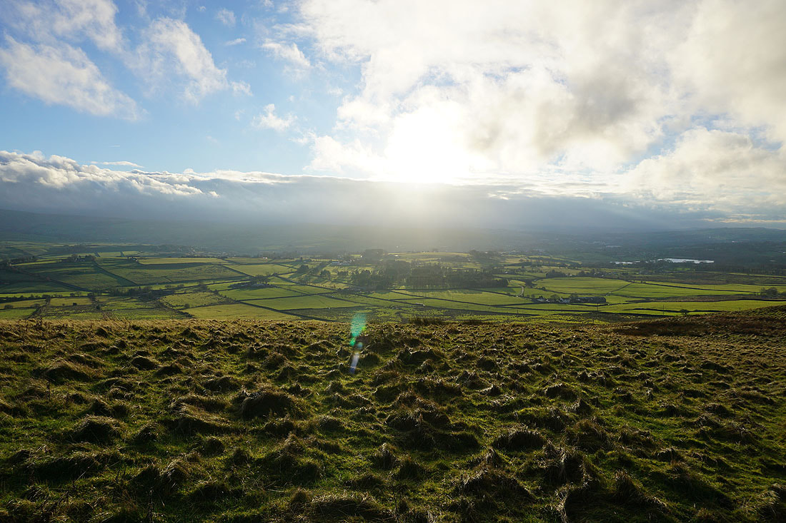
Pendle Hill in the distance from Great Edge. This sunshine creates a great light for photography..
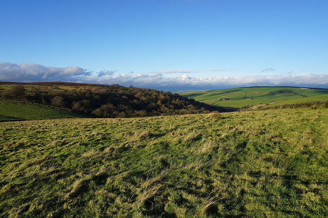
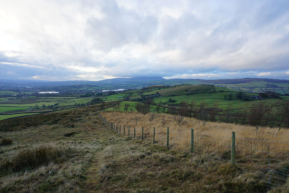
Part of the Forest of Bowland and the Yorkshire Dales in the distance
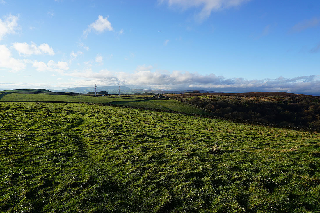
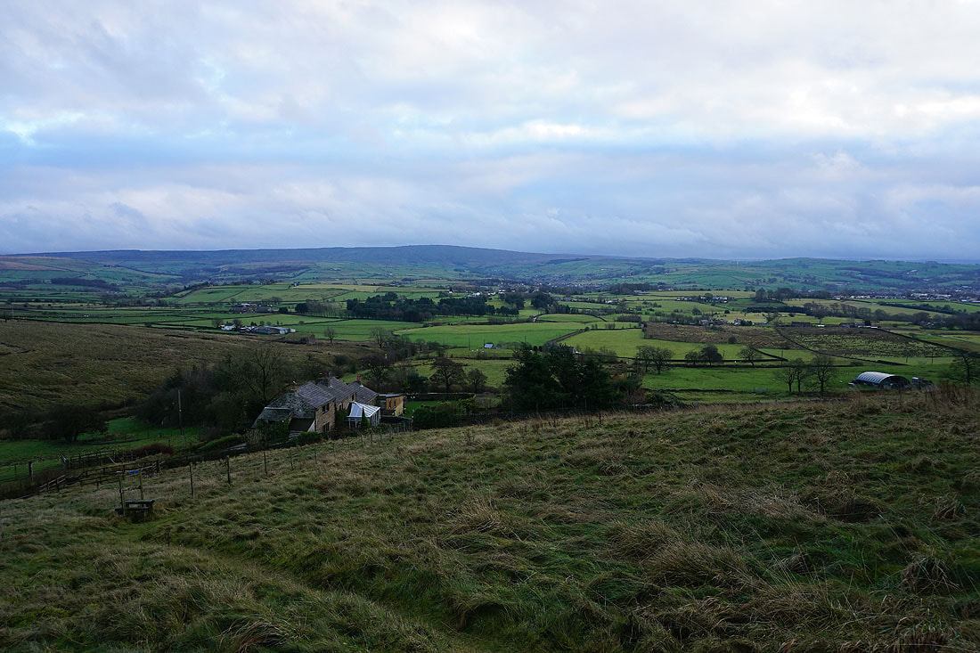
Heading down Great Edge to Cob Lane
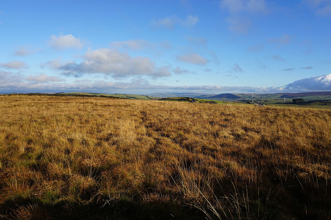
Boulsworth Hill and the Forest of Bowland as I head up onto Noyna Hill from Noyna End Farm
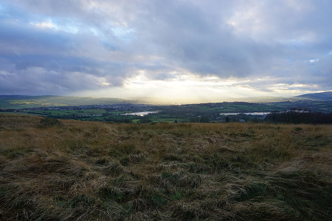
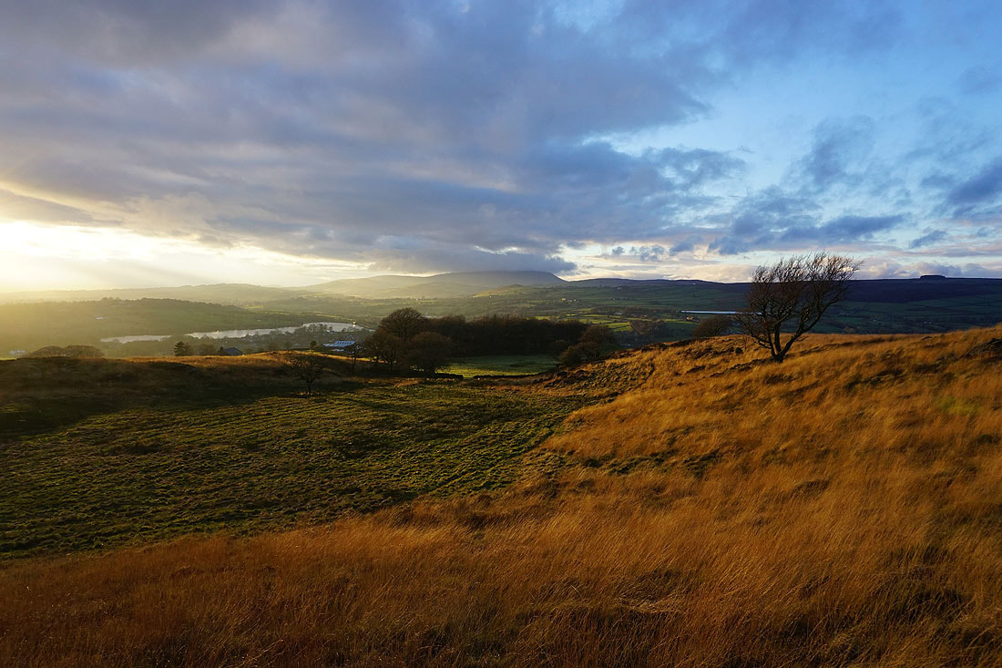
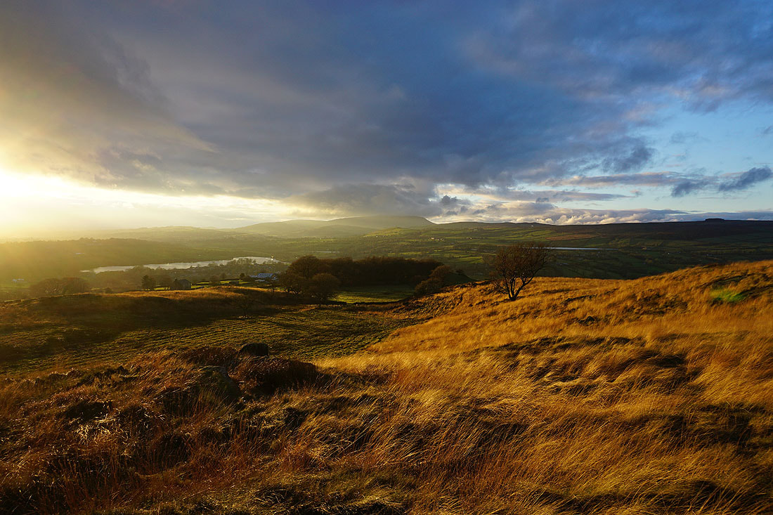
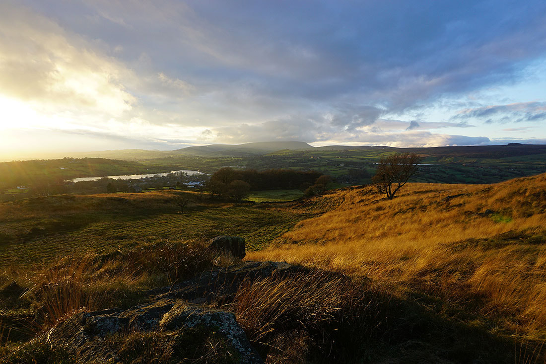
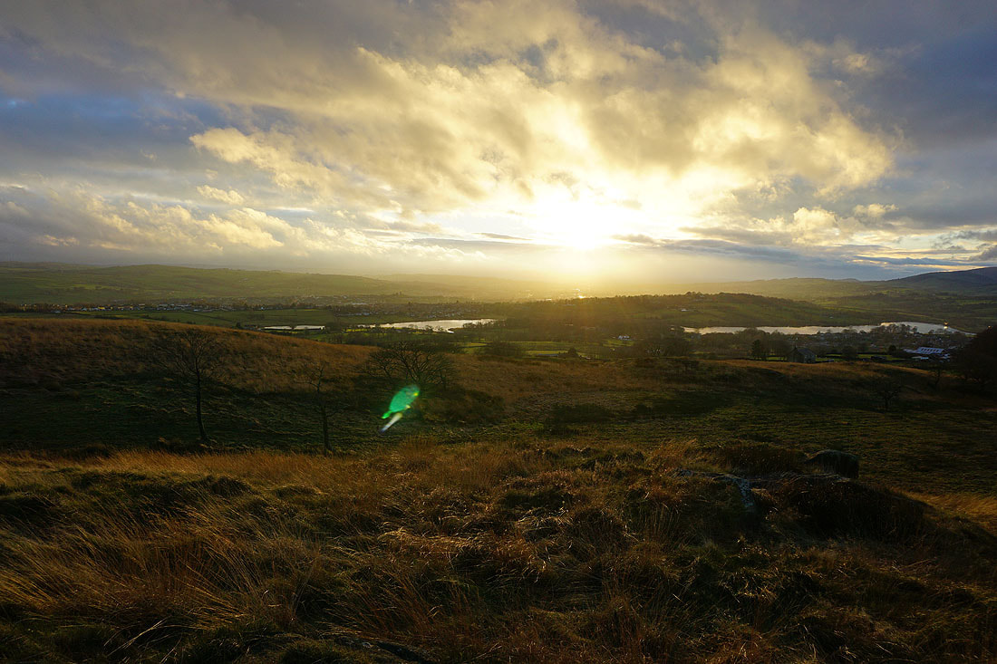
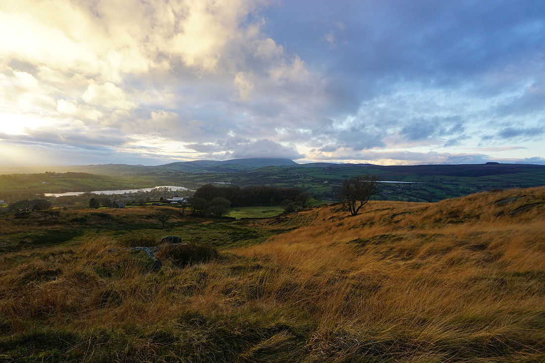
On the top of Noyna Hill. The sun is breaking through gaps in the cloud as it starts to set. I'll make my way onto access land and to my favourite spot for taking in the sunset..
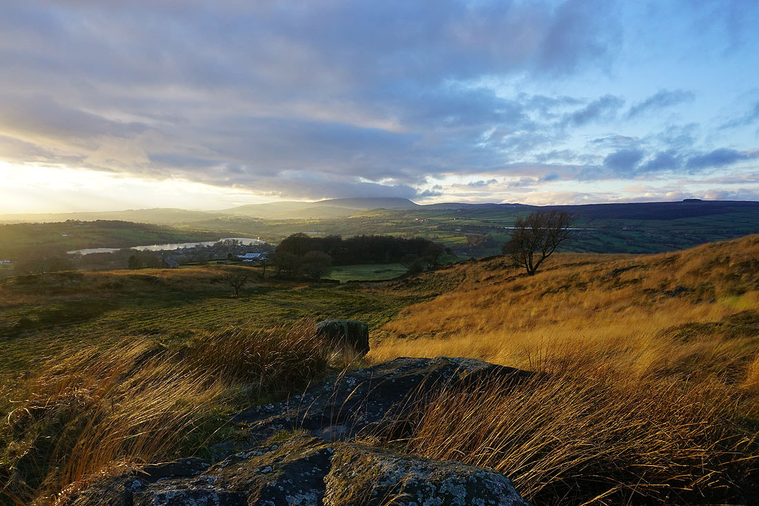
Five minutes later I'm there, and I spend the next ten minutes taking in the great colours and long shadows as the sun sets.......
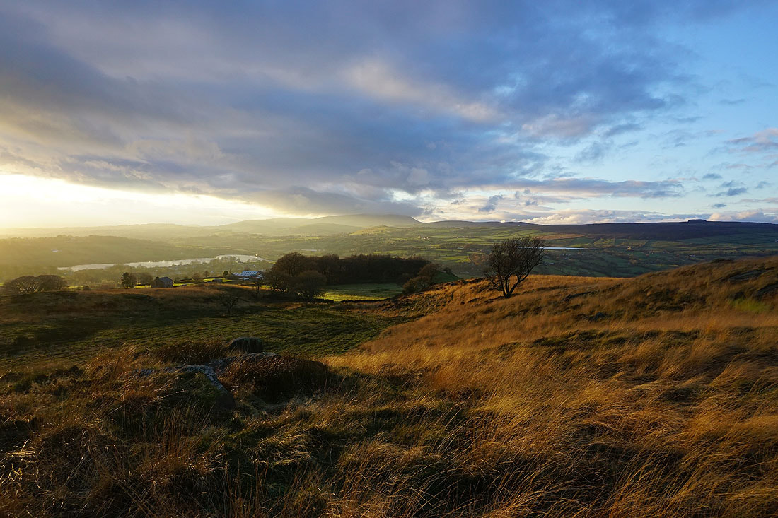
Heading back down to Foulridge and home