12th February 2011 - Cautley Spout and The Calf
Walk Details
Distance walked: 10.5 miles
Total ascent: 2643ft
OS map used: OL19 - Howgill Fells & Upper Eden Valley
Time taken: 6 hrs
Route description: Sedbergh-Underbank-Stone Hall-Ellerthwaite-Thursgill-Fawcett Bank-Cautley Beck-Cautley Spout-Bowderdale Head-The Calf-Calders-Winder-Lockbank Farm-Howgill Lane-Sedbergh
A walk to Cautley Spout from Sedbergh then climbing to The Calf with the descent back to Sedbergh.
Route map
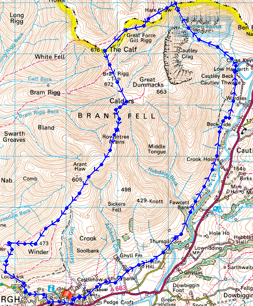
© Crown copyright. All rights reserved. License number PU 100034184.
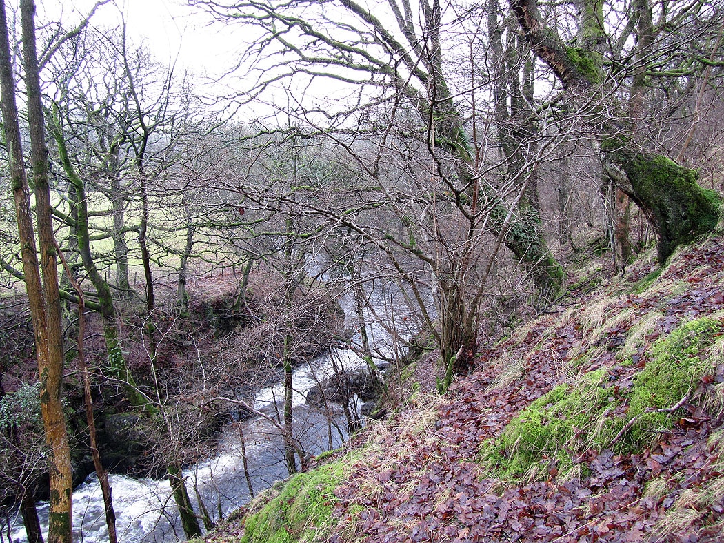
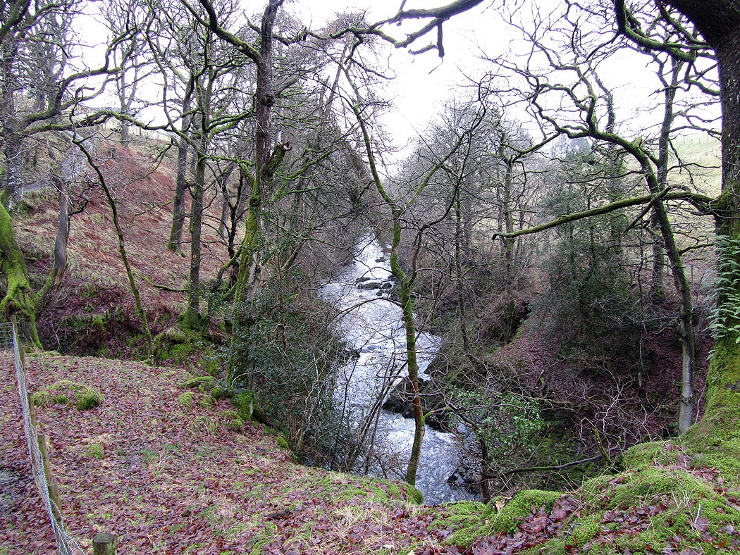
The River Rawthey. Setting out from Sedbergh I took the footpath that follows the River Rawthey to Cautley Spout.
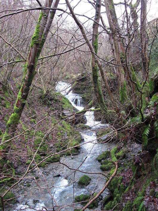
Hobdale Beck goes under the bridge I'm stood on and into the Rawthey

Grey skies looking back down the Rawthey valley towards Sedbergh
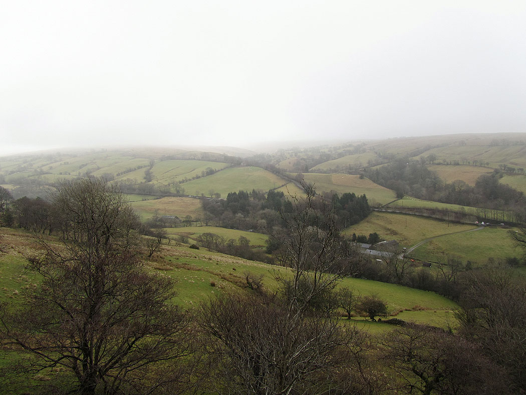
In the opposite direction. The forecast has been for things to improve but I wasn't holding out much hope of that happening.
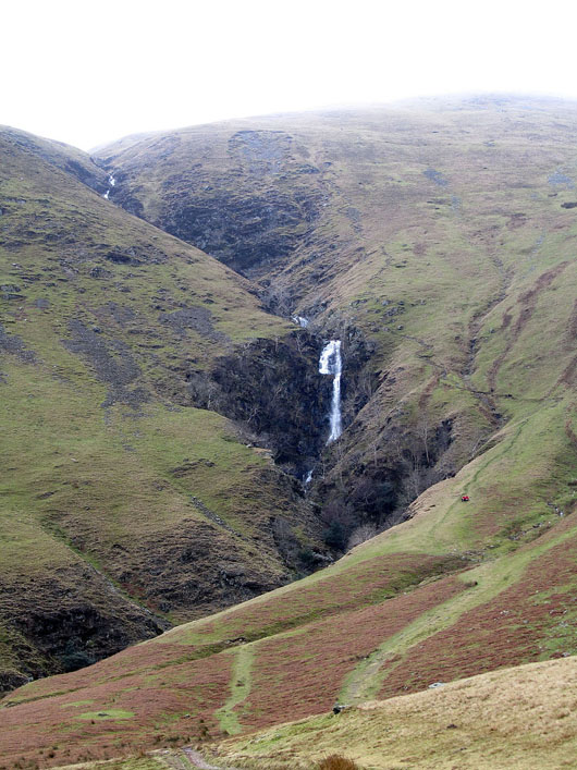
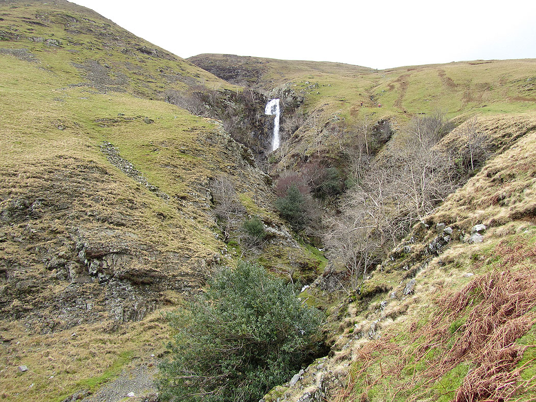
Cautley Spout..
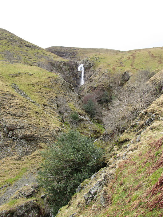
Cautley Spout from the path that ascends next to it...
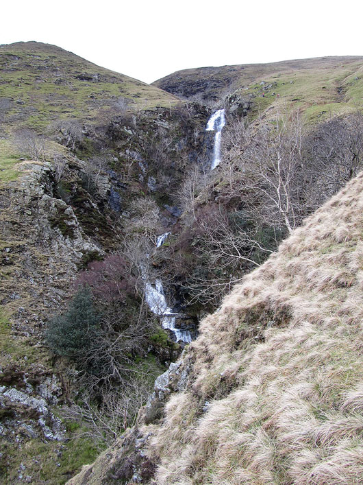
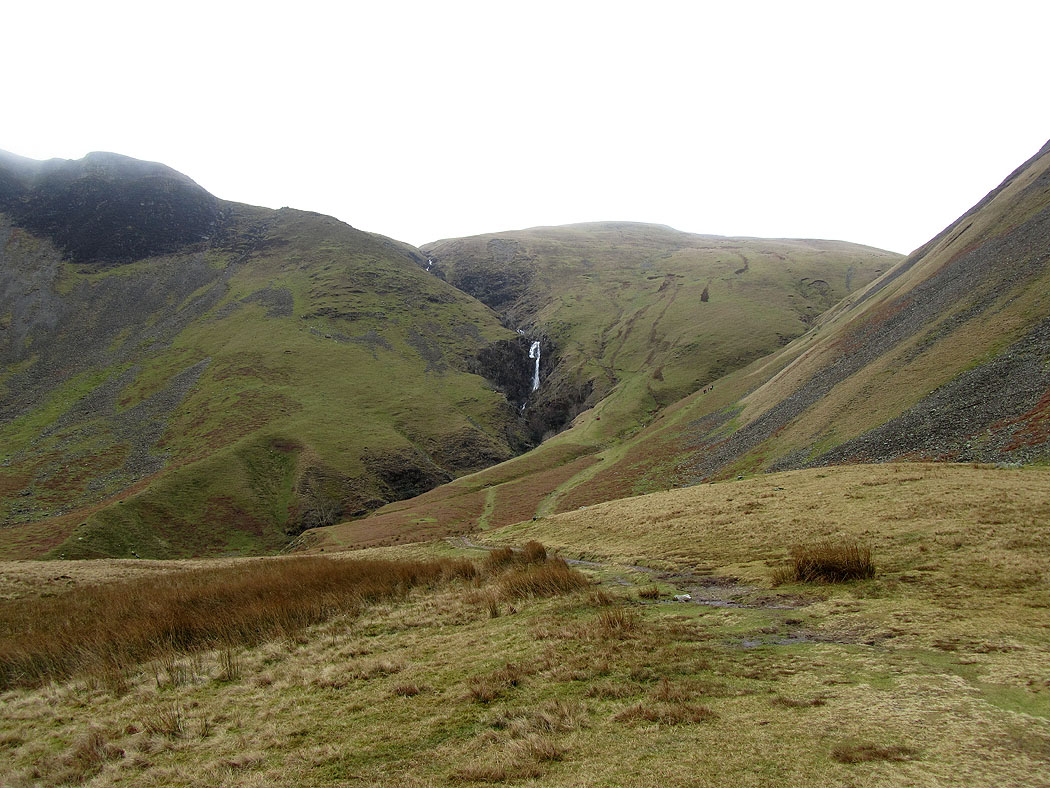
Cautley Crag and Cautley Spout from the path to Bowderdale Head
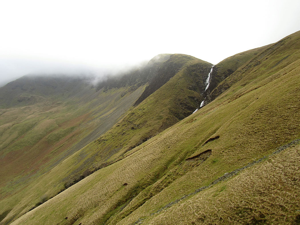
Bowderdale from the path that goes up to The Calf
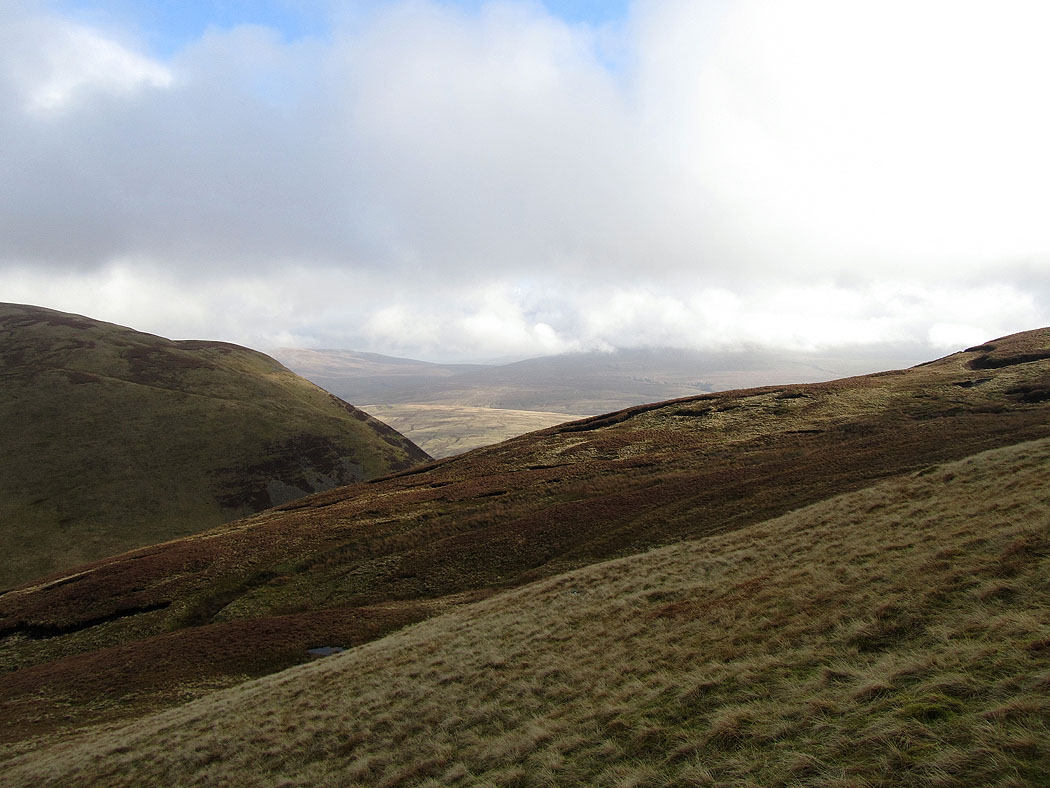
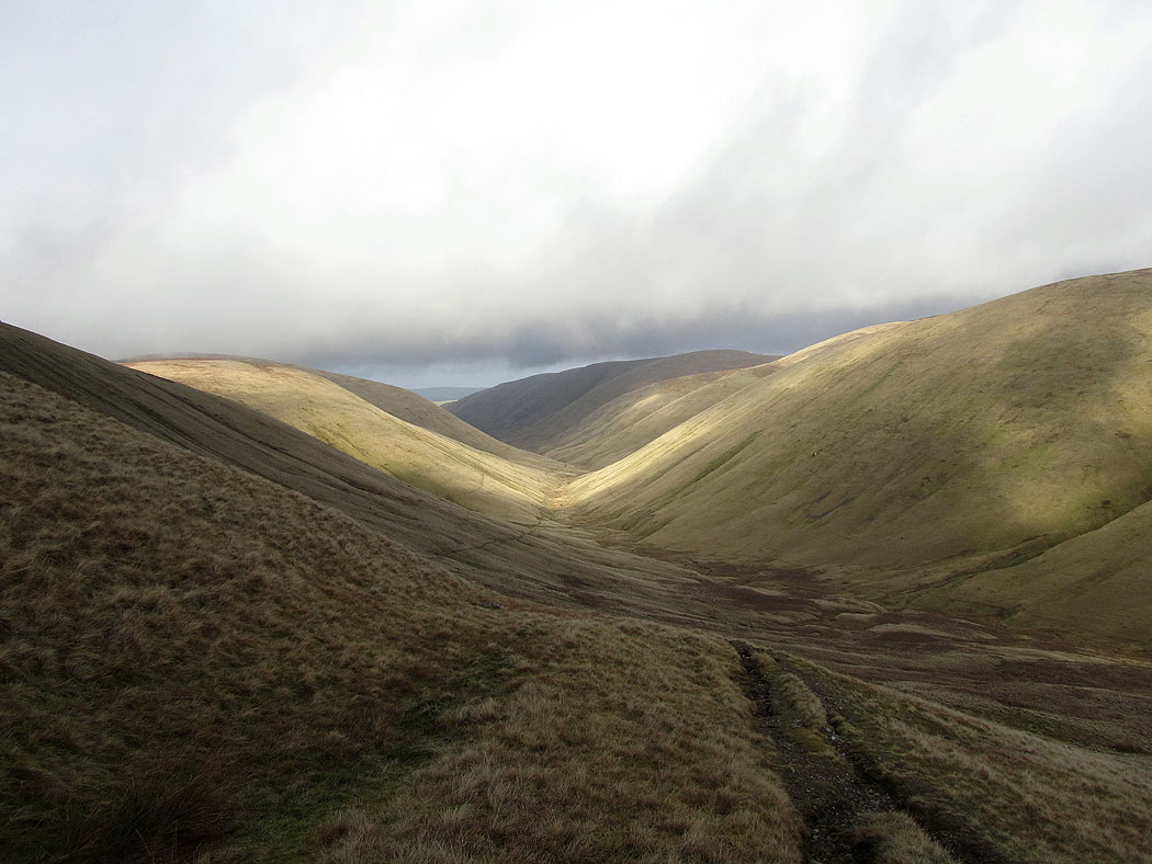
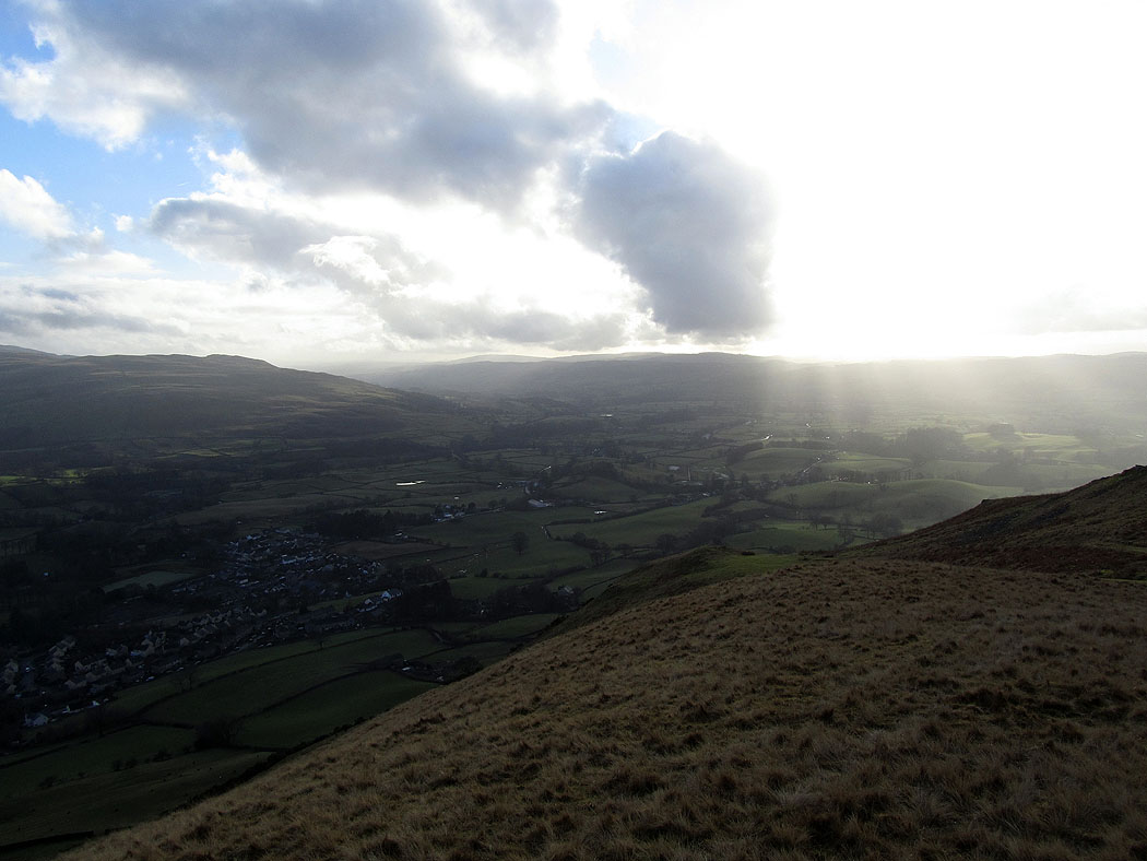
A brief glimpse of hills in the distance. I was in the cloud all the way across the tops until I made the descent of Winder back to Sedbergh.
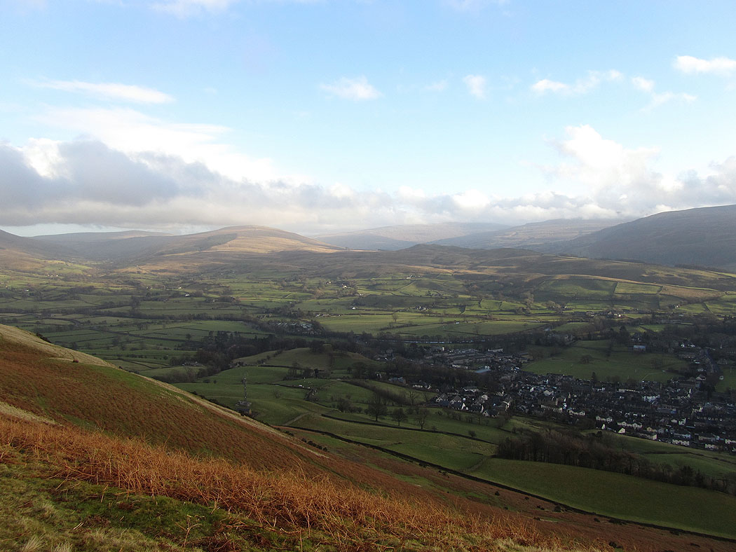
The cloud starts to clear as I make my way down from Winder
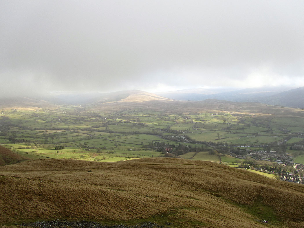
The Rawthey valley
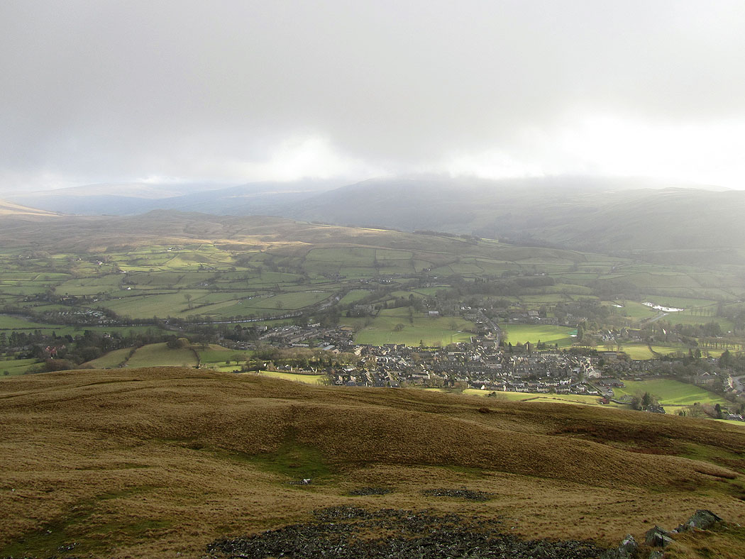
Sedbergh and the Rawthey valley
Looking towards the Lune valley
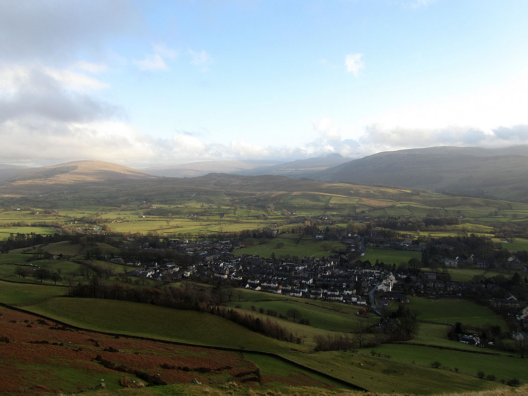
Sedbergh below as I make my way down from Winder