12th February 2023 - Simon's Seat
Walk Details
Distance walked: 15.0 miles
Total ascent: 2737 ft
OS map used: OL2 - Yorkshire Dales, Southern & Western areas
Time taken: 7 hrs
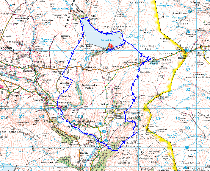
Route description: Grimwith Reservoir-Hartlington Moor Lane-B6265-Hartlington Raikes-Langerton Hill-Raikes Farm-Hartlington Raikes-Hartlington-Hartlington Bridge-Woodhouse Manor-Dales Way-Stangs Lane-Howgill-Simon's Seat-Dalehead Farm-High Skyreholme-Skyreholme Bank-Black Hill Road-B6265-Nursery Knot-Grimwith Reservoir
I decided to head to Wharfedale in the Yorkshire Dales for my walk this weekend to do a route up Simon's Seat, the highest point on Barden Fell, and a familiar destination. Starting from Grimwith Reservoir, which I've done before for visiting Simon's Seat, I took in some footpaths and bridleways that were new to me as I made my way down into Wharfedale from the reservoir, and since I was there I did a circuit of most of it, which was new as well. Today may have had the best weather of the weekend but it was nothing to write home about. A dull and overcast winter's day with very little in the way of brightness, but at least the wind was light and it stayed dry.
From the car park at Grimwith Reservoir I took the footpath down to its southern shore, and then followed the track or footpath round the reservoir in an anticlockwise direction and onto Hartlington Moor Lane, which I followed south to the B6265. After crossing the B6265 I walked south along the road of Hartlington Raikes to a footpath on the left signposted for Raikes Farm, which I took and walked east along across fields to Low Lathe, where I crossed a footbridge over Holes Beck to take a footpath up and over Langerton Hill and down to Raikes Farm. From Raikes Farm I walked down the road of Hartlington Raikes to Hartlington, where I turned left and walked along the road towards Appletreewick until I reached a bridleway on the right down to Woodhouse Manor, which I took to reach the Dales Way. I then made my way south along the Dales Way to Stangs Lane (with a stop for lunch at a conveniently placed bench on the way). The trail was left here as I crossed Stangs Lane and took a footpath up a track to Howgill Lane, which I crossed to take a track up to access land and the footpath up to the trig point on the summit of Simon's Seat. After a break to take in the view I made my way down the footpath to Dalehead Farm, then after a brief walk west along the track from here I took a footpath down to and across Blands Beck and up to High Skyreholme. From High Skyreholme I walked up the byway of Skyreholme Bank, and then north along the byway of Black Hill Road to the B6265. A walk east up the road brought me to a footpath on the left signposted for Grimwith Reservoir, which I took and followed northwest across the moor (with a short detour to the top of Nursery Knot) to the track at the eastern end of Grimwith Reservoir. I then made my way west up the track back to the car park.
Route map
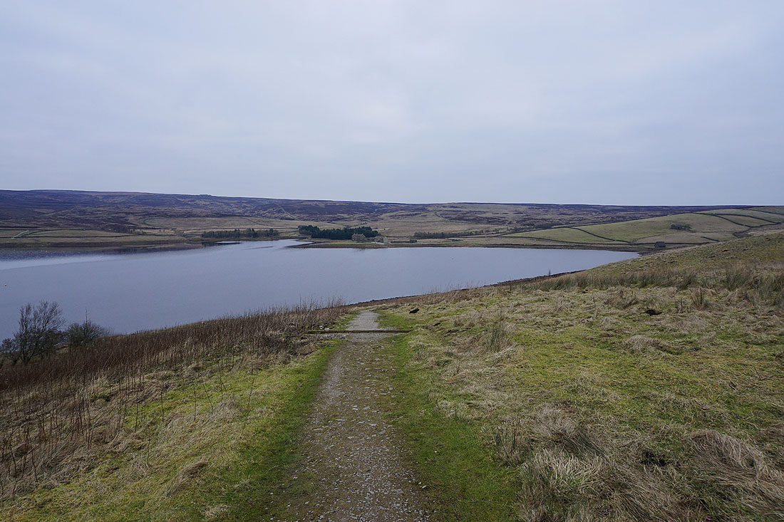
Leaving the car park I take the footpath down to the southern shore of Grimwith Reservoir
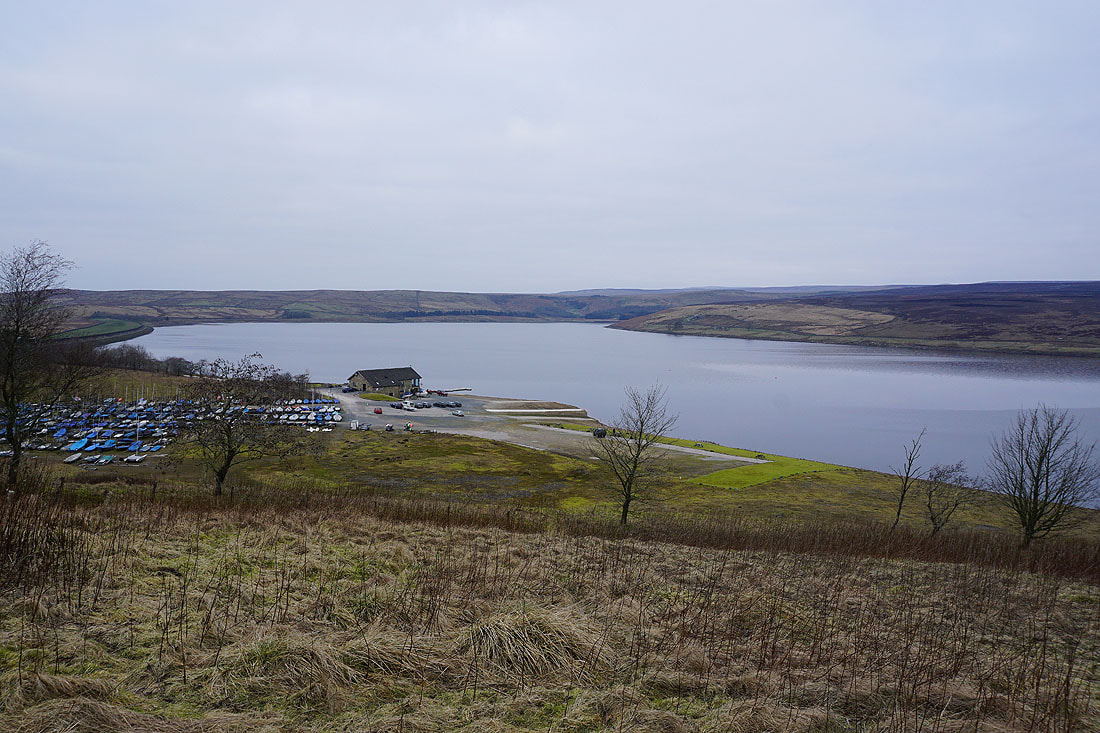
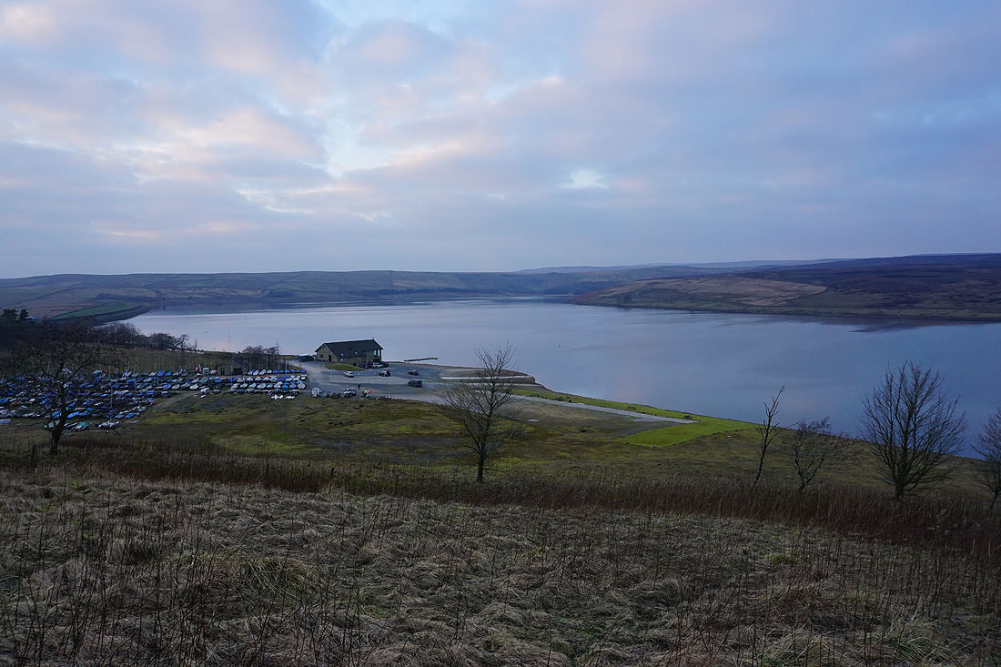
Grimwith Reservoir is home of the Yorkshire Dales Sailing Club
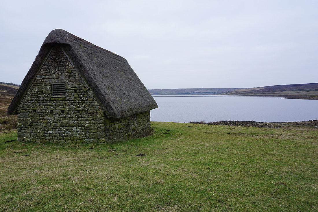
Passing High Shaws Lathe..
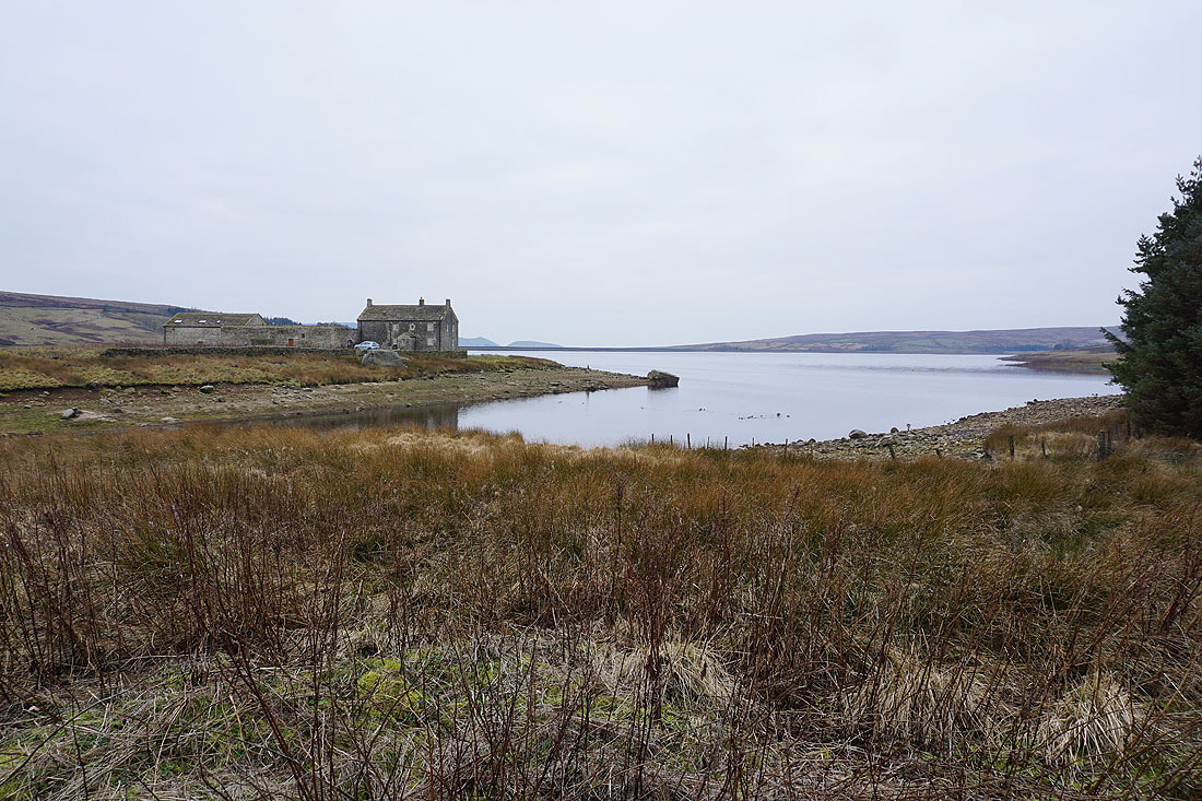
..and Grimwith House at the eastern end of the reservoir
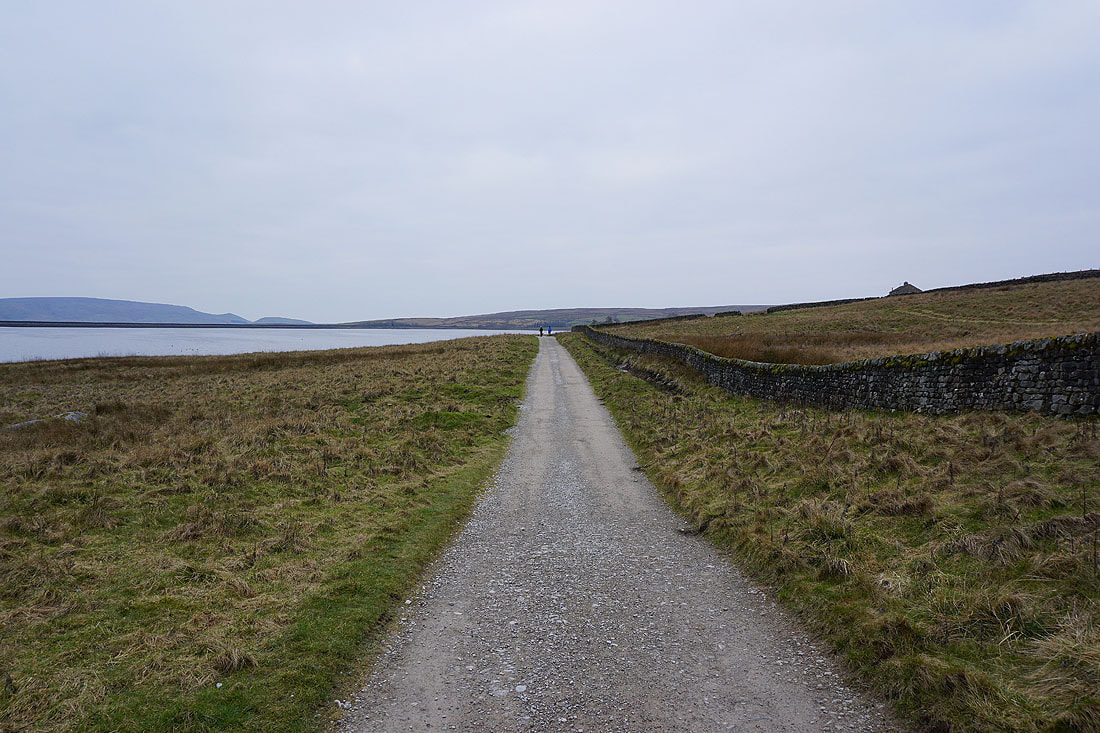
Making my way along the track by the northern shore of the reservoir
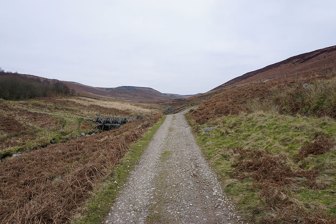
Crossing Gate Up Gill
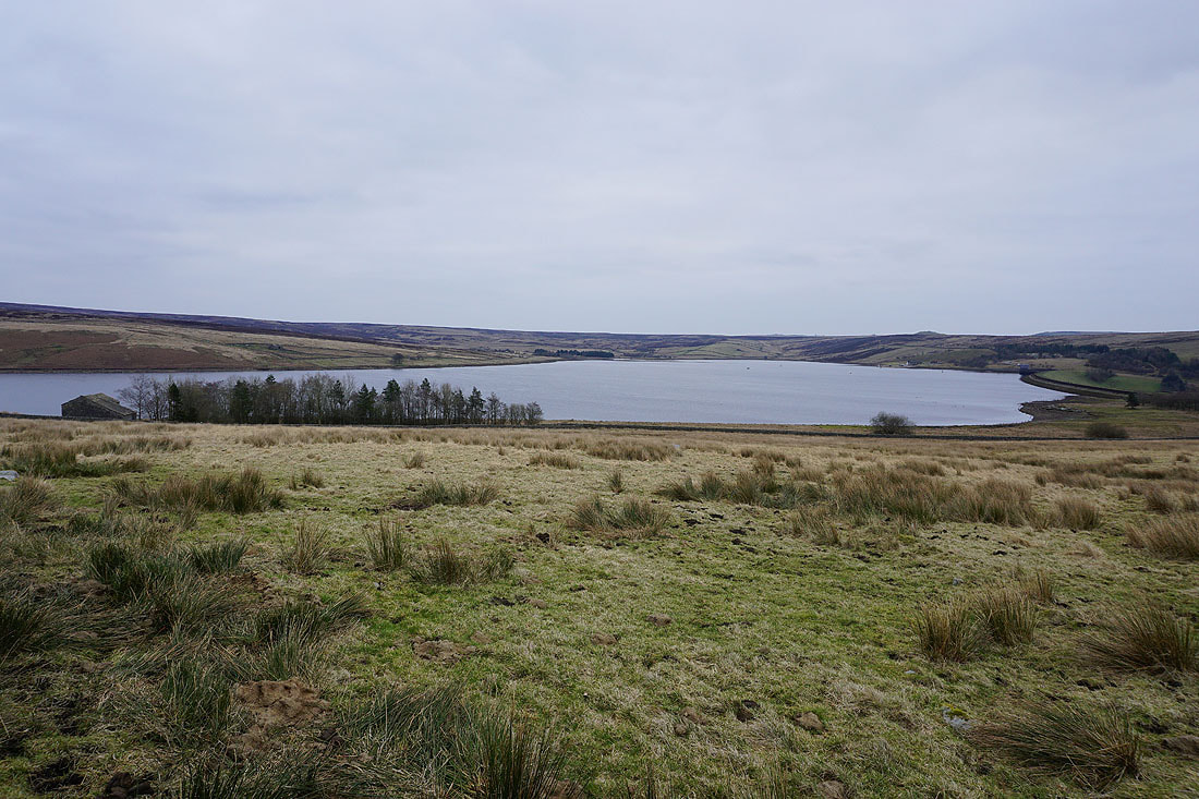
Looking across Grimwith Reservoir from Hartlington Moor Lane
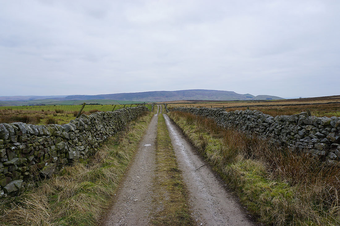
and Burnsall Fell ahead as I walk south along Hartlington Moor Road to the B6265
After crossing the B6265 I walk south down Hartlington Raikes to a footpath on the left signposted for Raikes Farm
Heading east along the footpath to Low Lathe
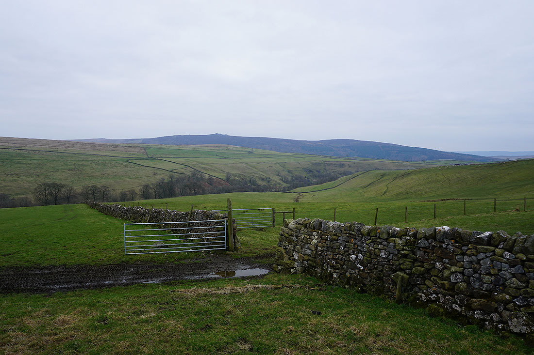
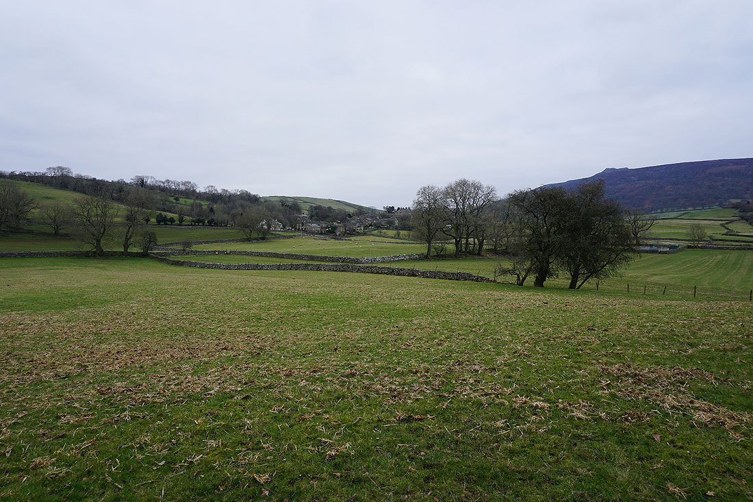
Looking back as I take the footpath over Langerton Hill to Hartlington Moor Side, with the moorland to the north of Grimwith Reservoir in the distance
and across the valley of Barben Beck to Appletreewick Pasture and Simon's Seat from the top of the footpath
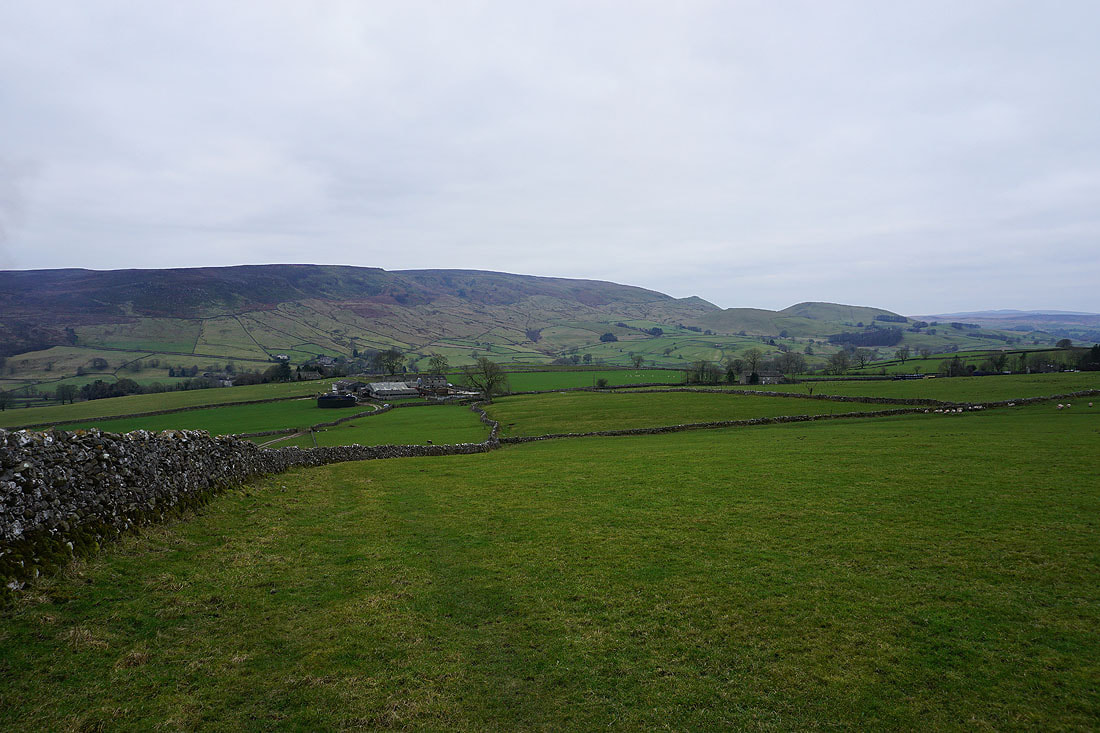
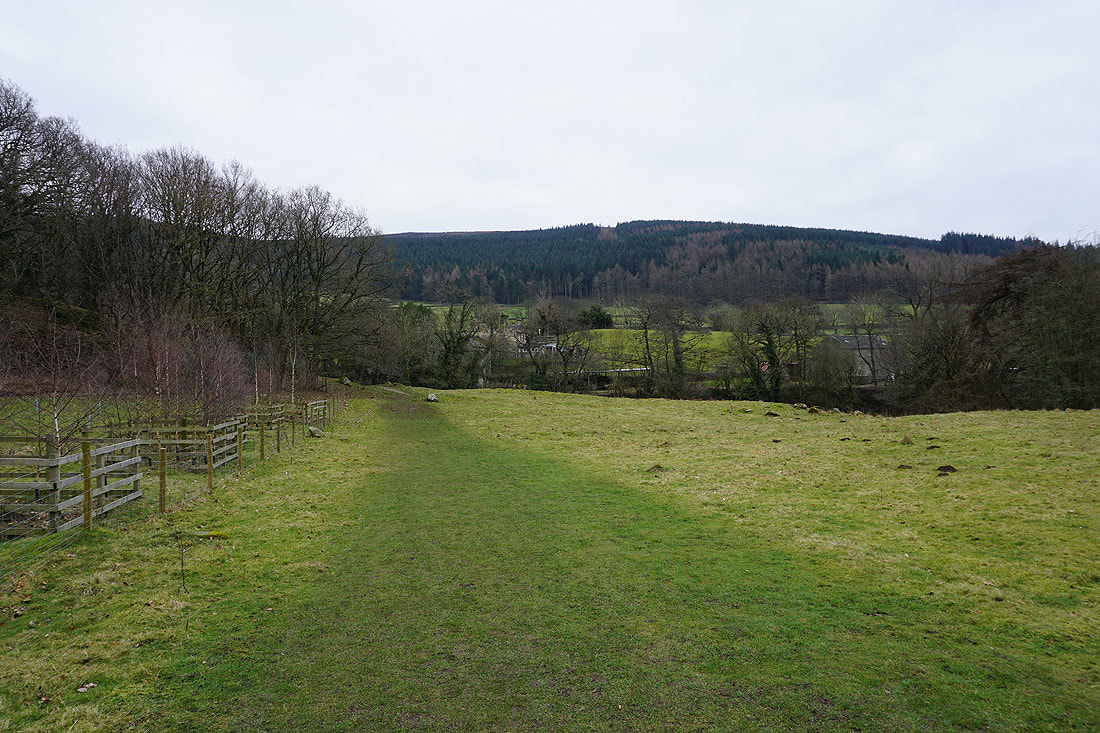
Heading down to Raikes Farm
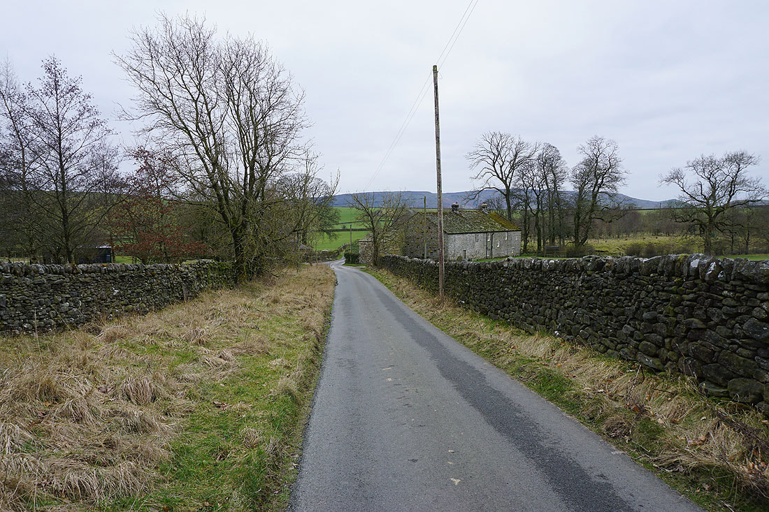
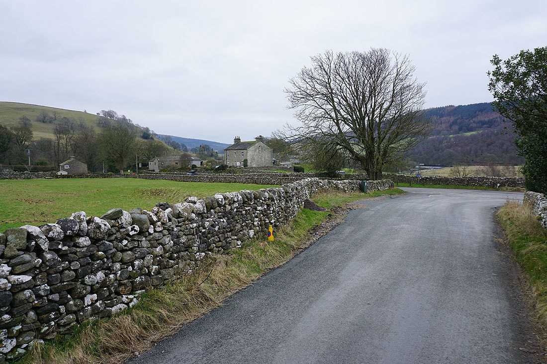
At the bottom of Hartlington Raikes I turn left and take the road to Appletreewick
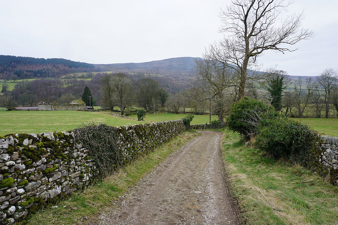
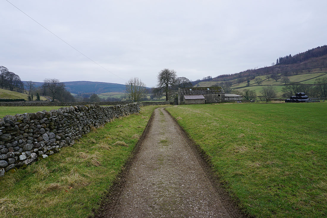
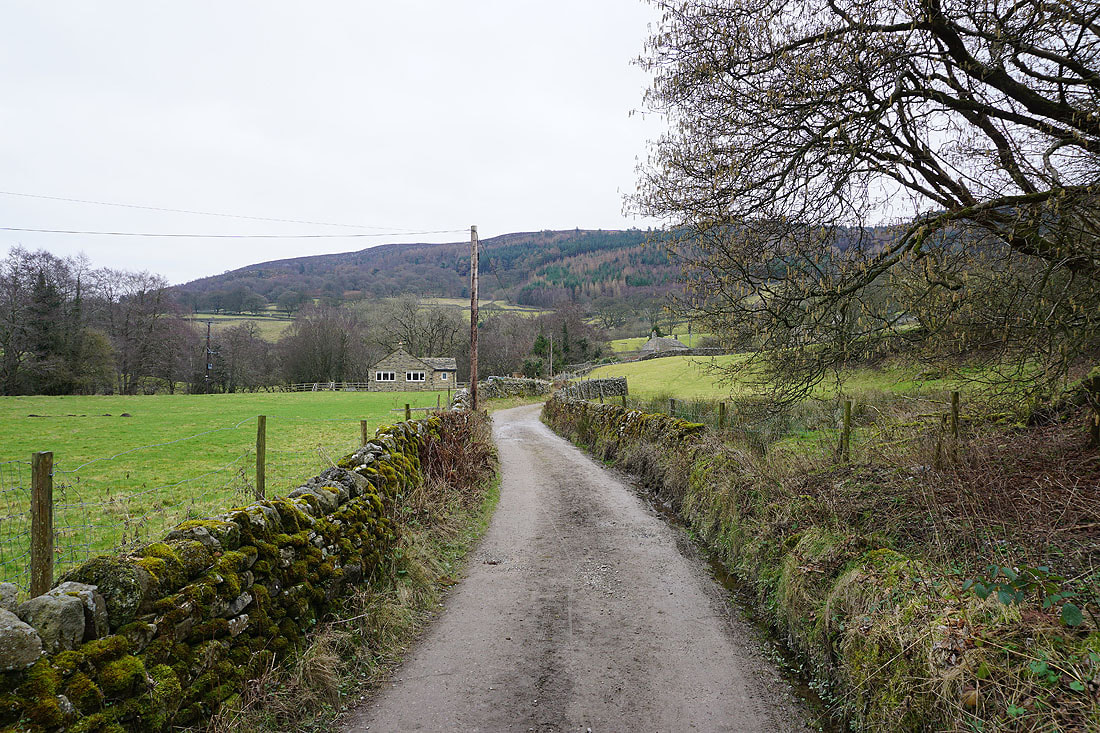
Not long after crossing Hartlington Bridge I take a bridleway on the right down to Woodhouse Manor to join the Dales Way
Onto the Dales Way, and heading east past Water's Laithe
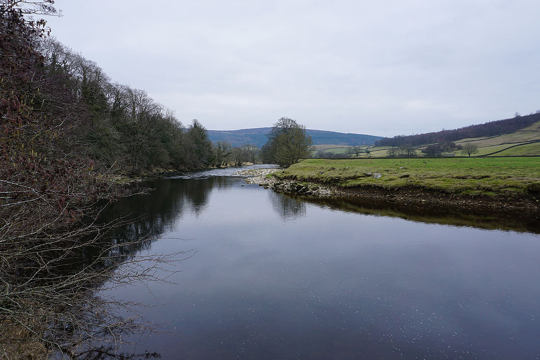
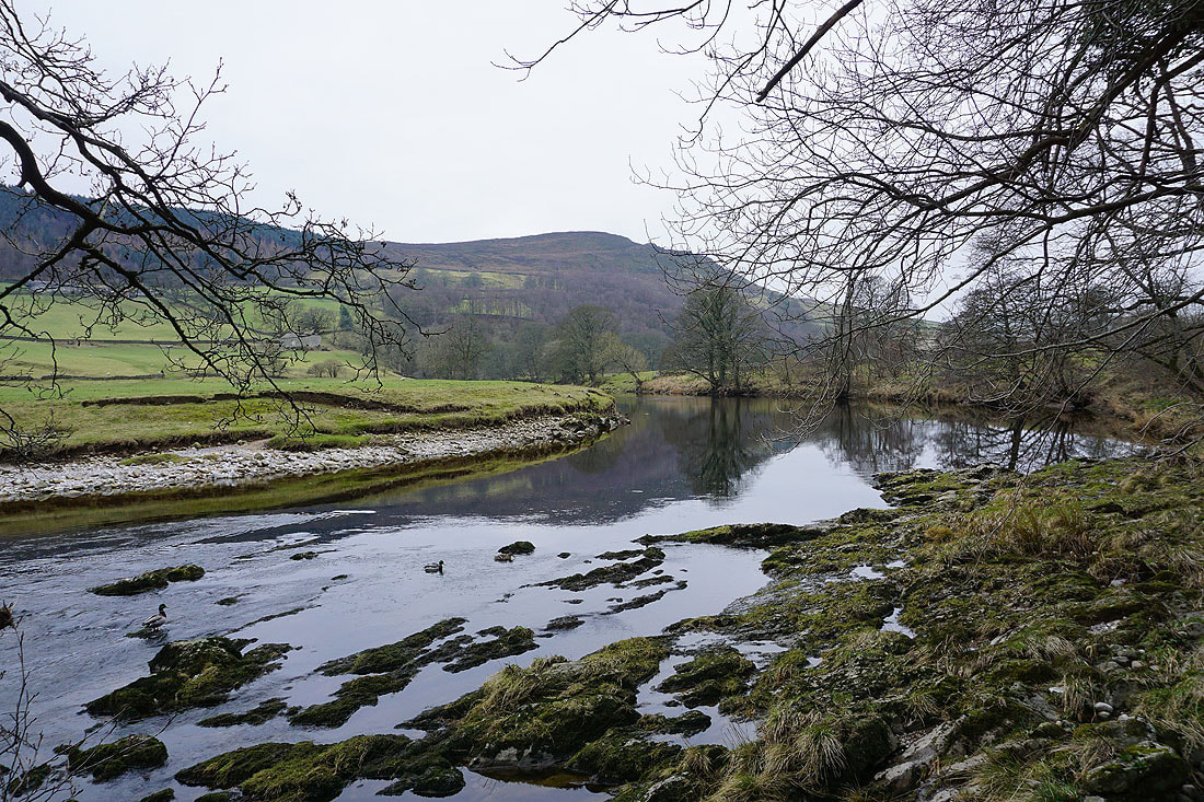
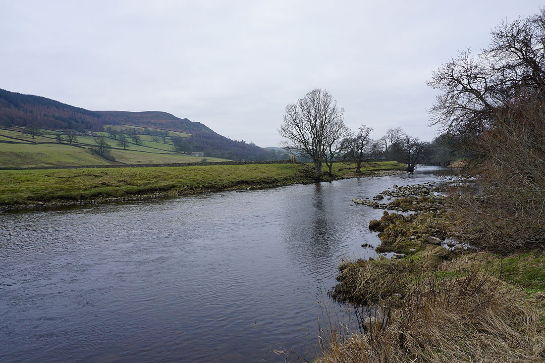
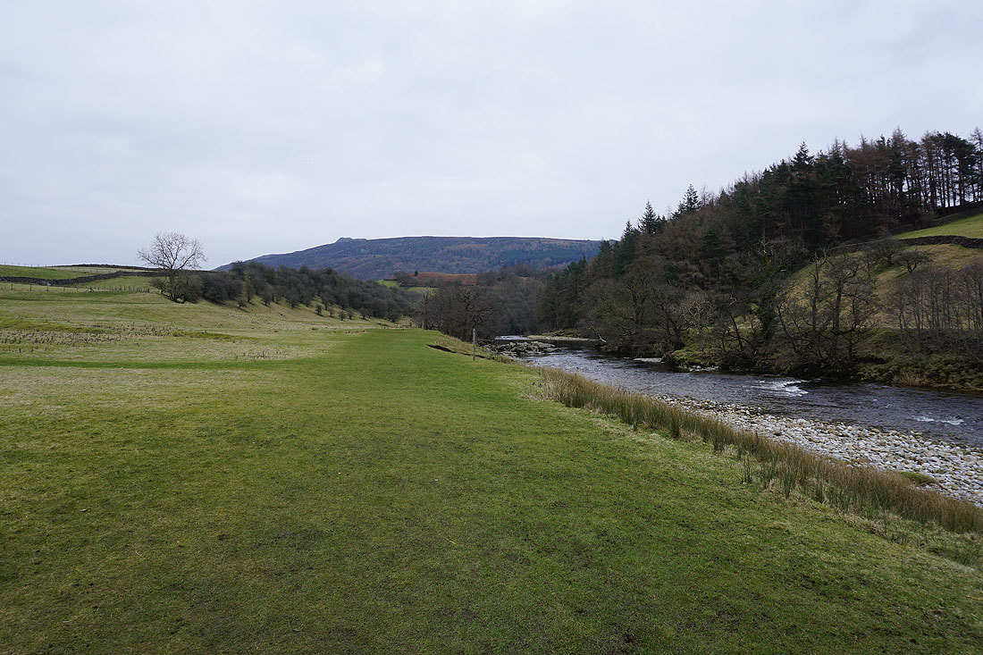
Views of the River Wharfe from the Dales Way...
The village of Appletreewick across the fields to the north
Simon's Seat ahead as I follow the Dales Way towards Howgill
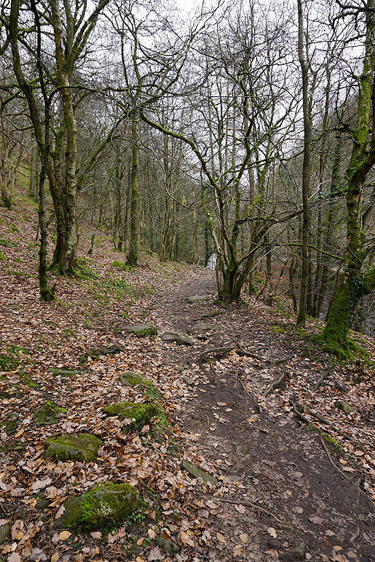
Through the woodland by the River Wharfe..
..and down to Stangs Lane, where I'll leave the Dales Way
On the footpath up to Howgill Lane
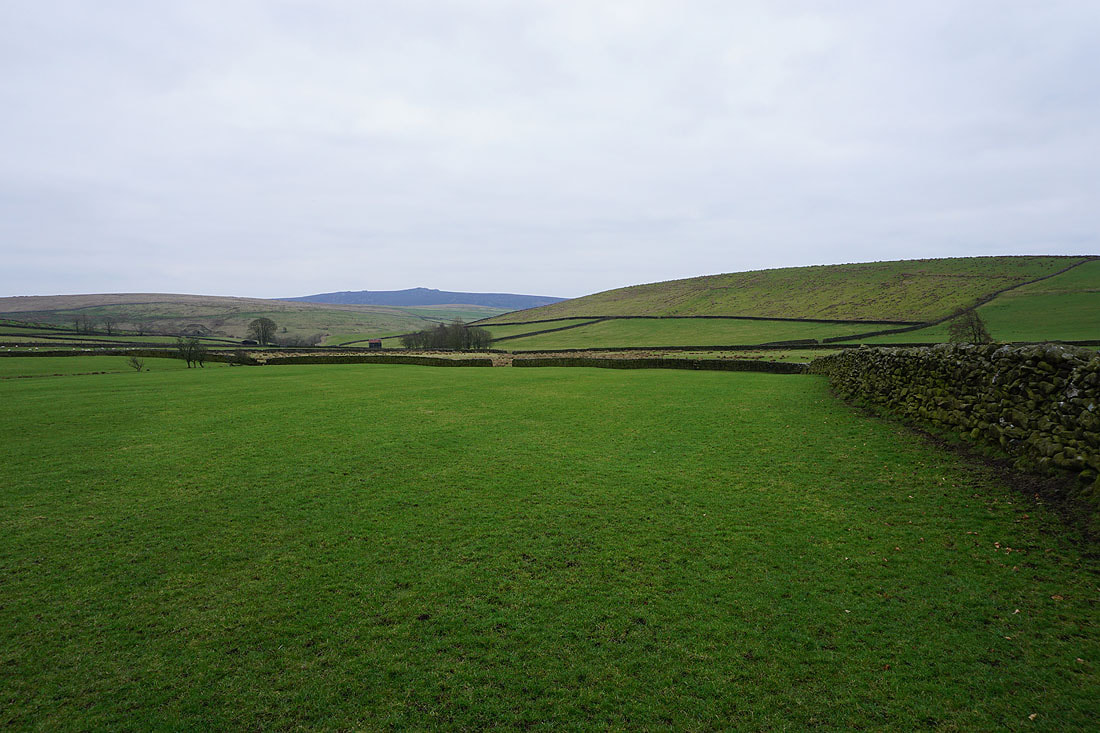
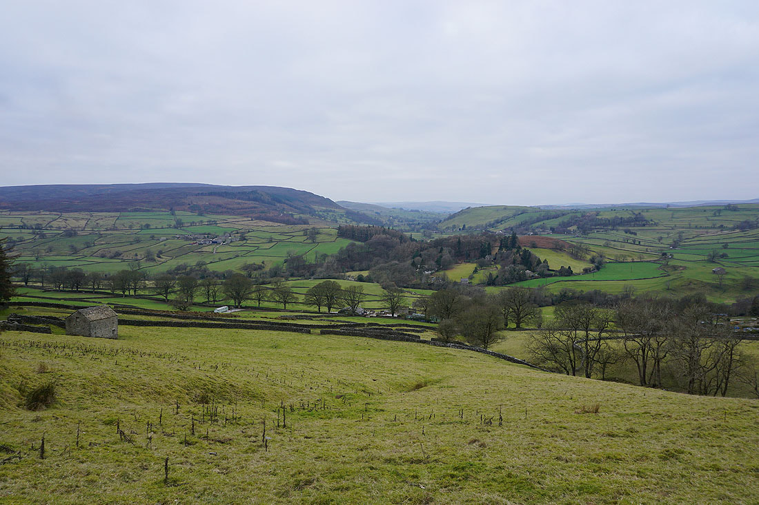
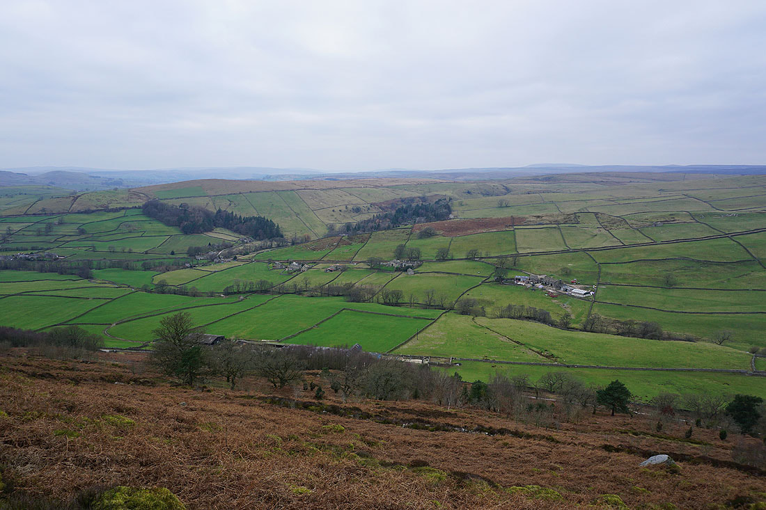
Wharfedale below from the footpath up to Simon's Seat
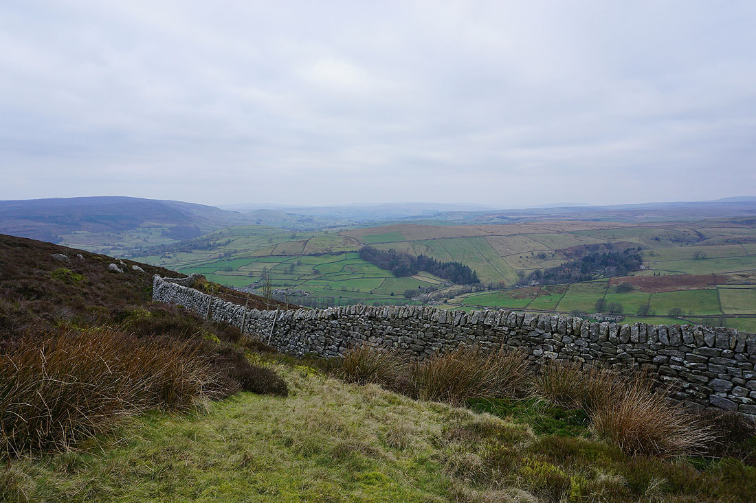
and looking across Wharfedale to Barden Moor from higher up
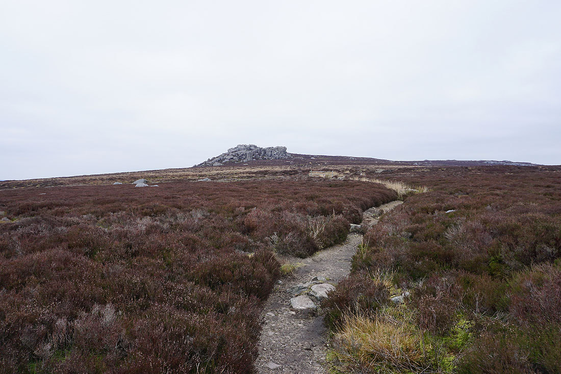
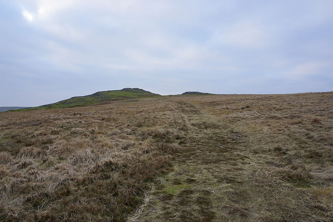
Approaching Simon's Seat, the highest point on Barden Fell
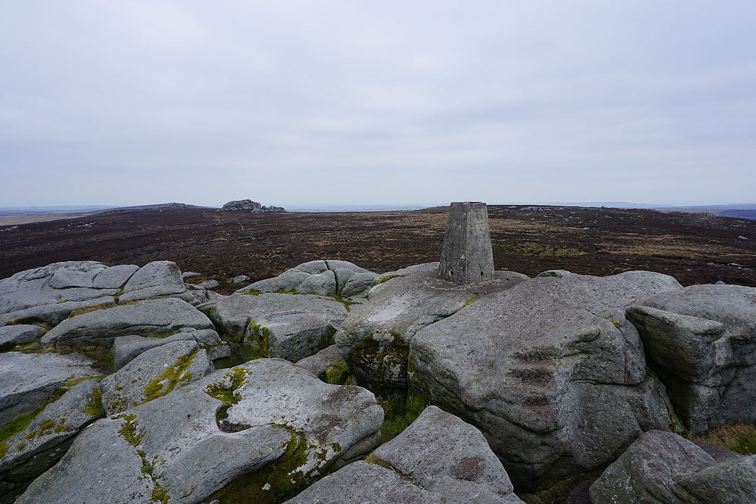
At the trig point on Simon's Seat, with the neighbouring Lord's Seat behind to the left
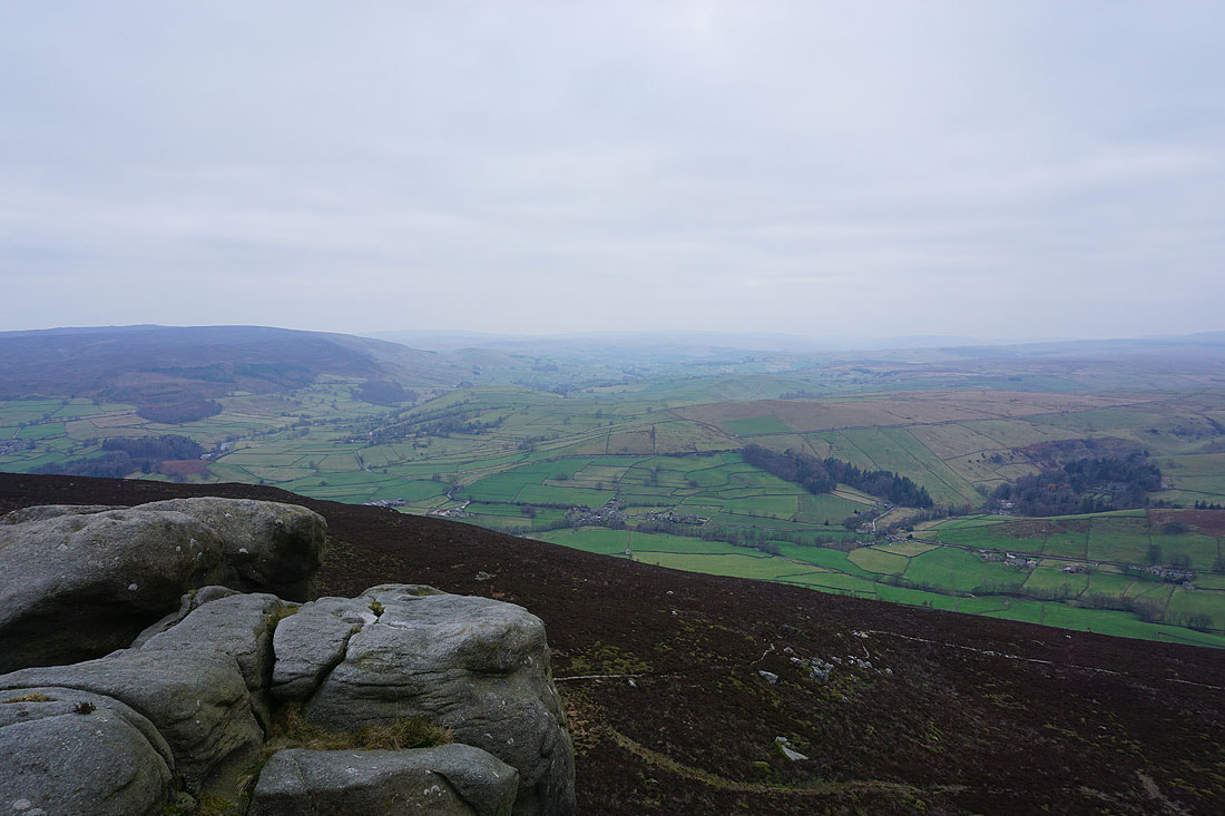
Looking northwest up Wharfedale..
..and across to Barden Moor. I've had better weather for taking in the view from here.
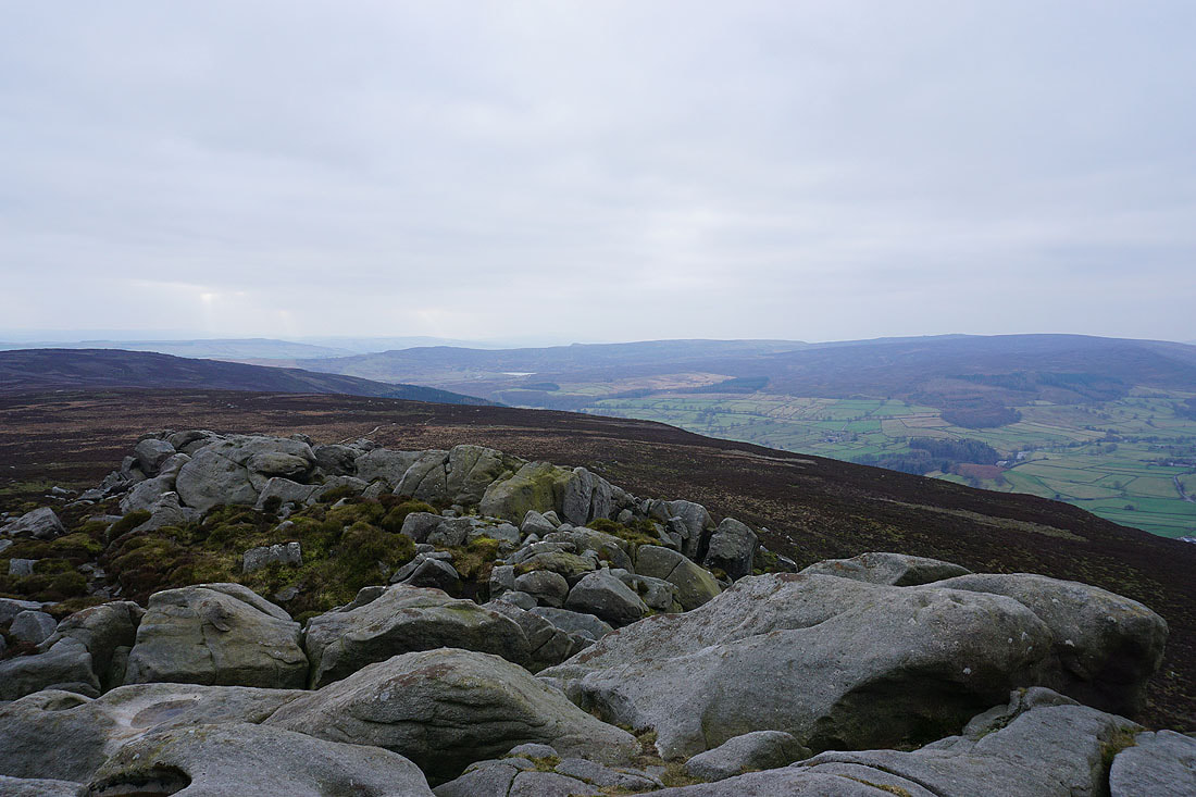
Looking south down Wharfedale to Beamsley Beacon and Ilkley Moor, with the nearby Carncliff Top on the right
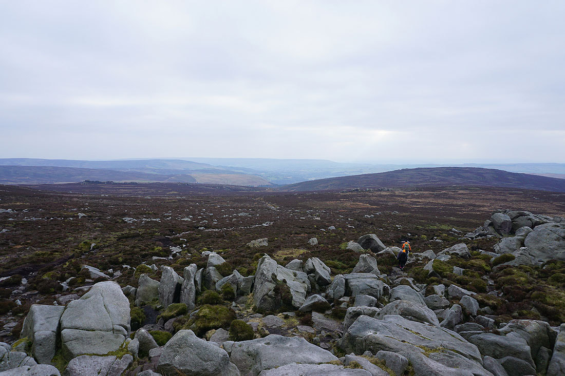
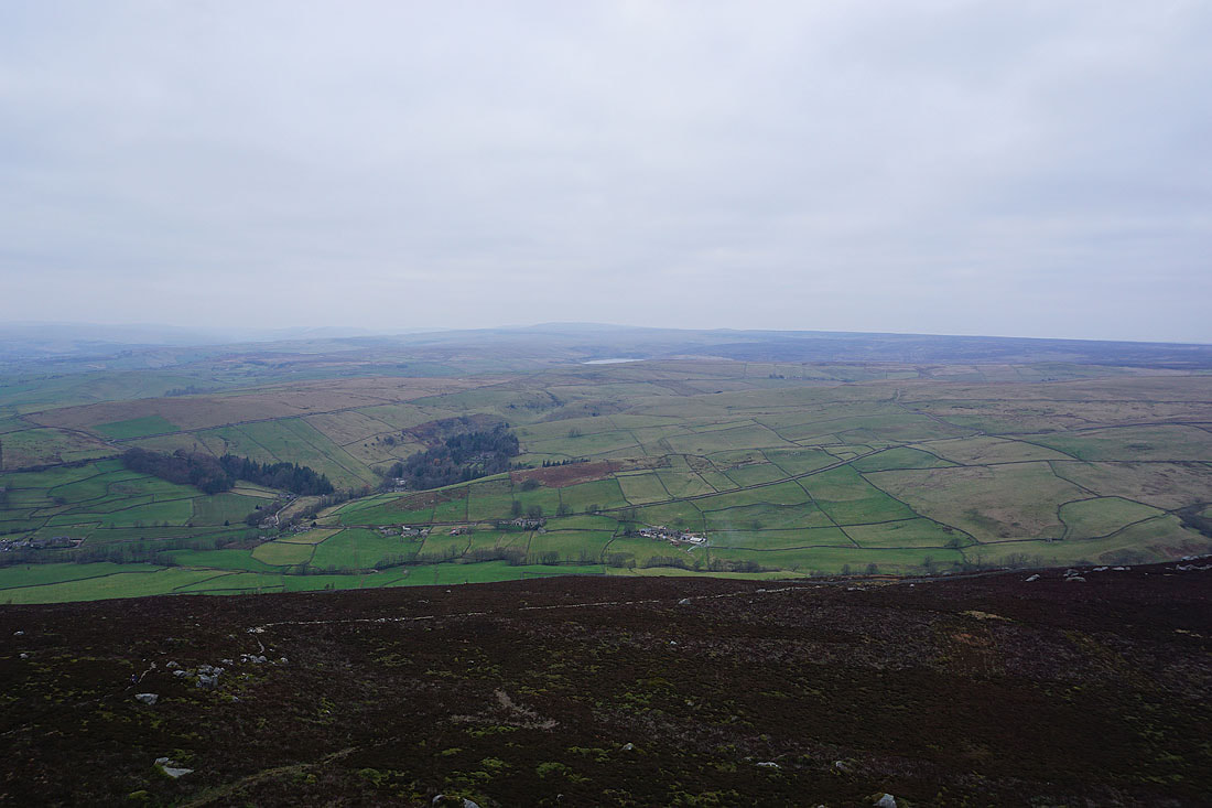
and north across the valley of Blands Beck to Appletreewick Moor and the distant high point of Great Whernside. A bit of Grimwith Reservoir can be made out.
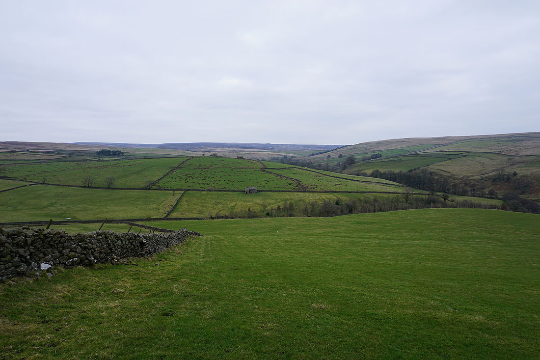
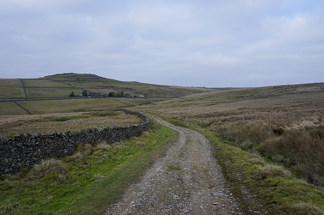
Heading down to Dalehead Farm, and I have a view across to Appletreewick, Appletreewick Pasture, Skyreholme, Parcevall Hall, and the area around Trollers Gill..
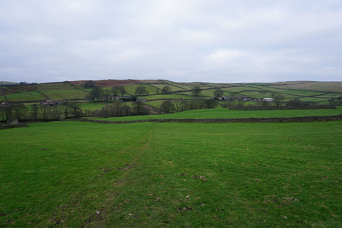
Crossing fields to High Skyreholme
Heading up the byway of Skyreholme Bank from High Skyreholme
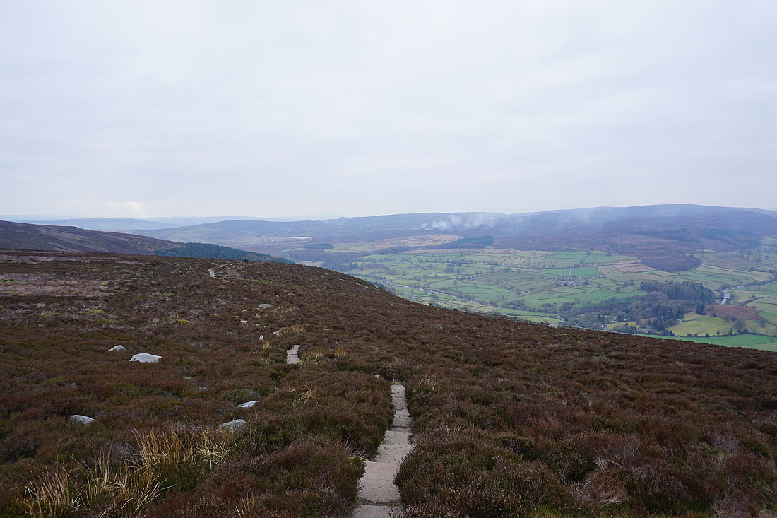
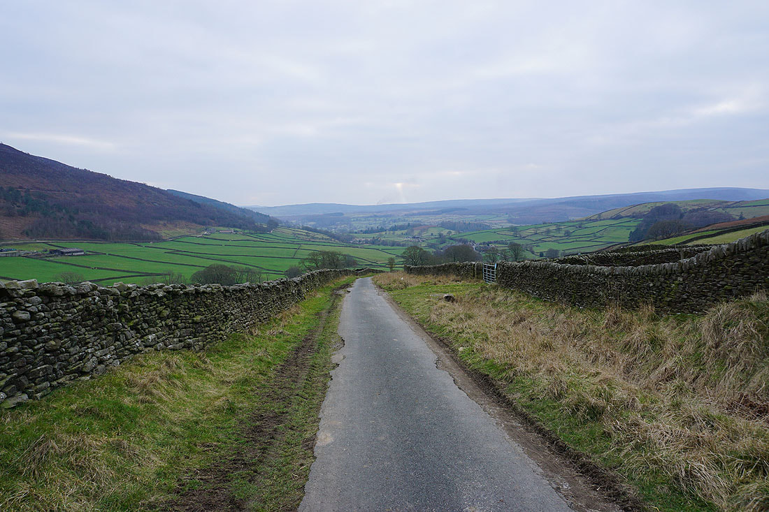
Looking back down towards Wharfedale
Just ahead I'll take the track of Black Hill Road on the left
Looking back to Simon's Seat on the other side of the valley of Blands Beck
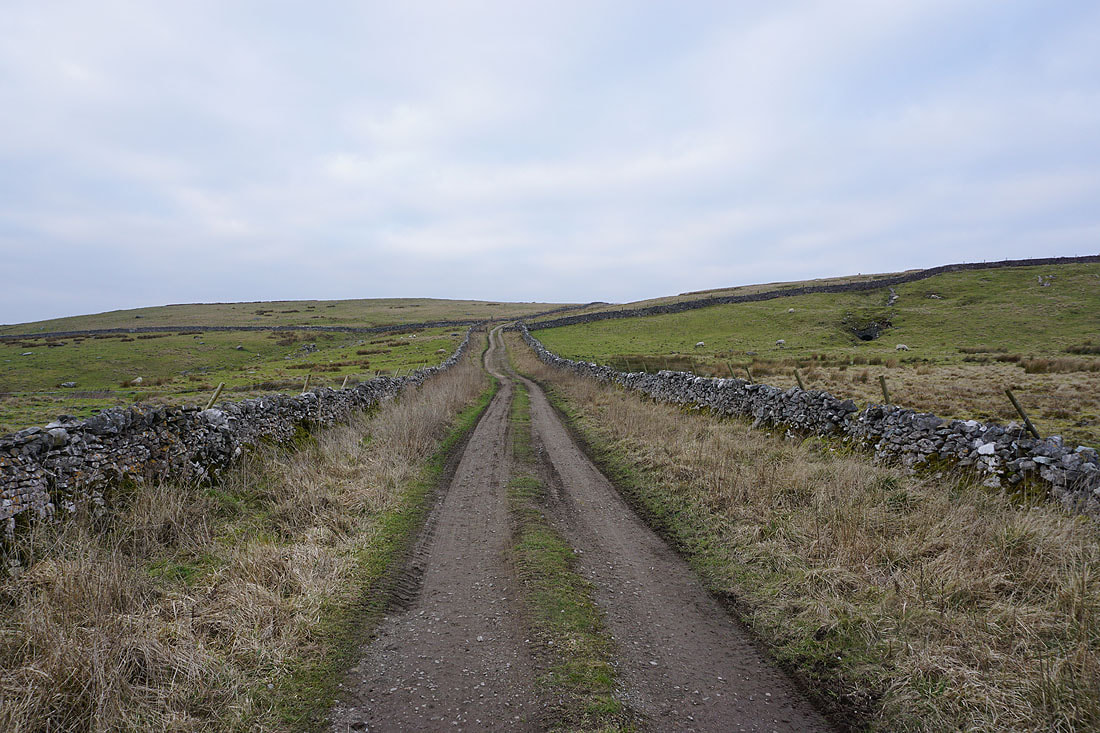
Heading north on Black Hill Road and the hill of Nursery Knot comes into view...
After crossing the B6265 I climb to the top of Nursery Knot
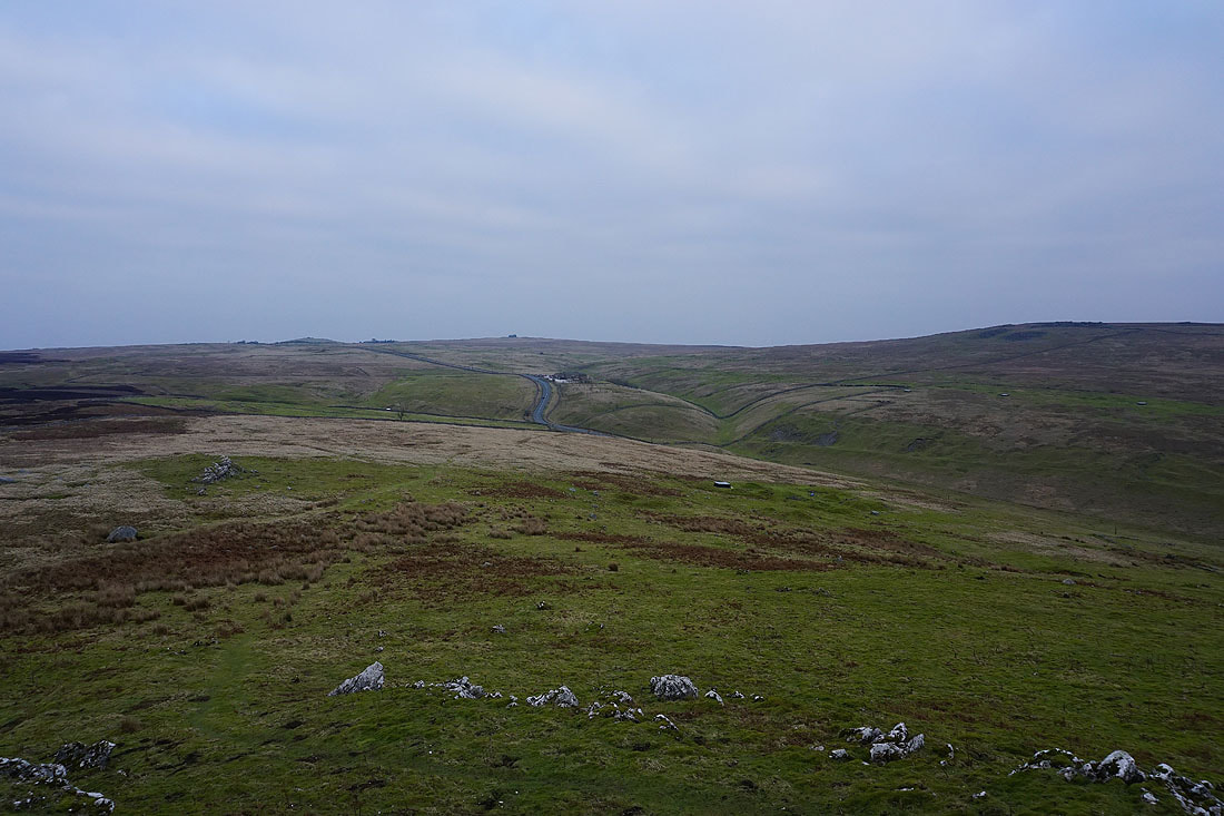
Taking in the view from Nursery Knot. The road across Greenhow Hill to Pateley Bridge in Nidderdale.
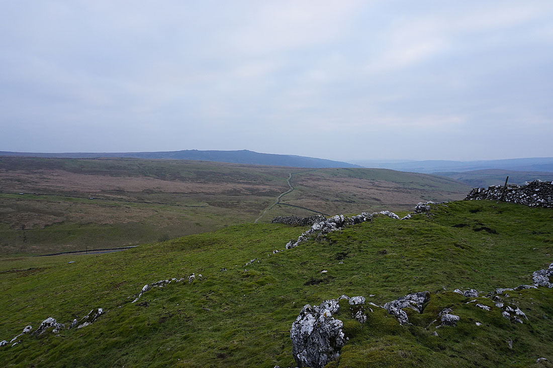
Simon's Seat in the distance, with the track of Black Hill Road crossing the moorland below
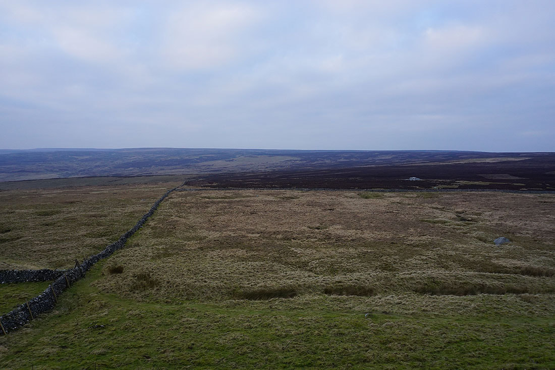
The moorland between Wharfedale and Nidderdale to the north
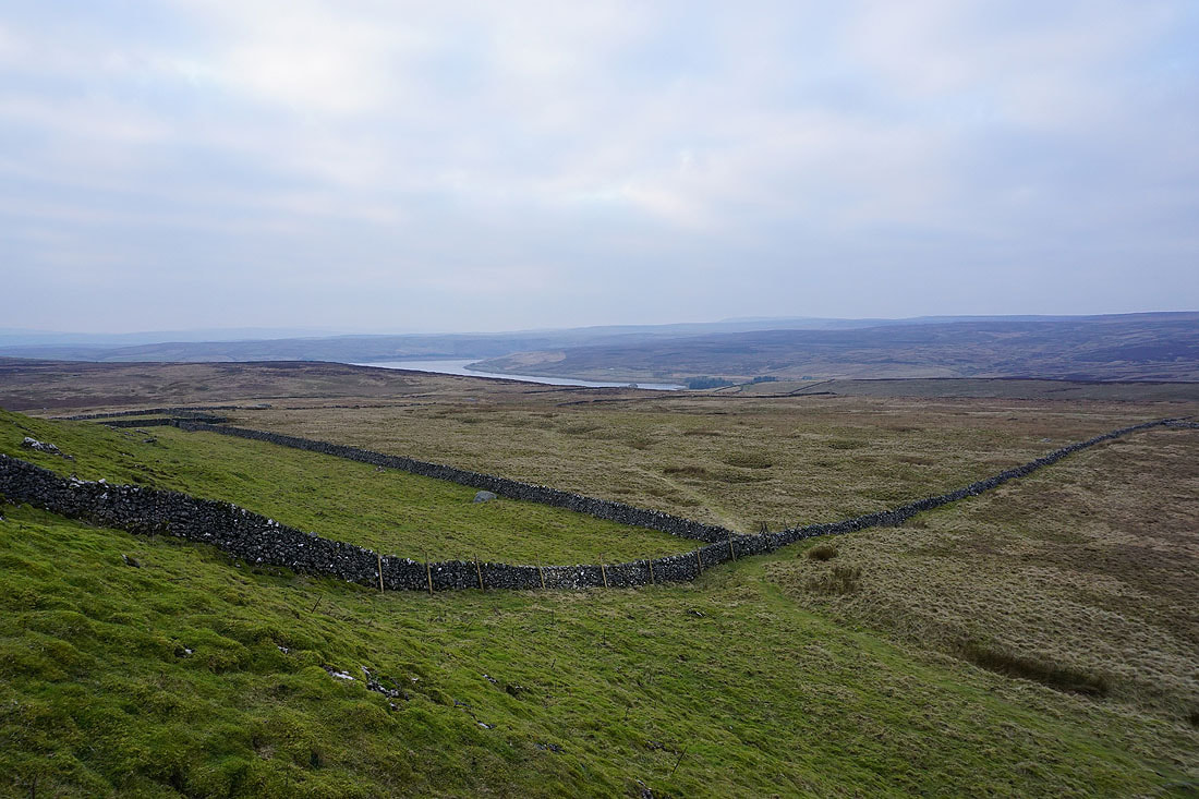
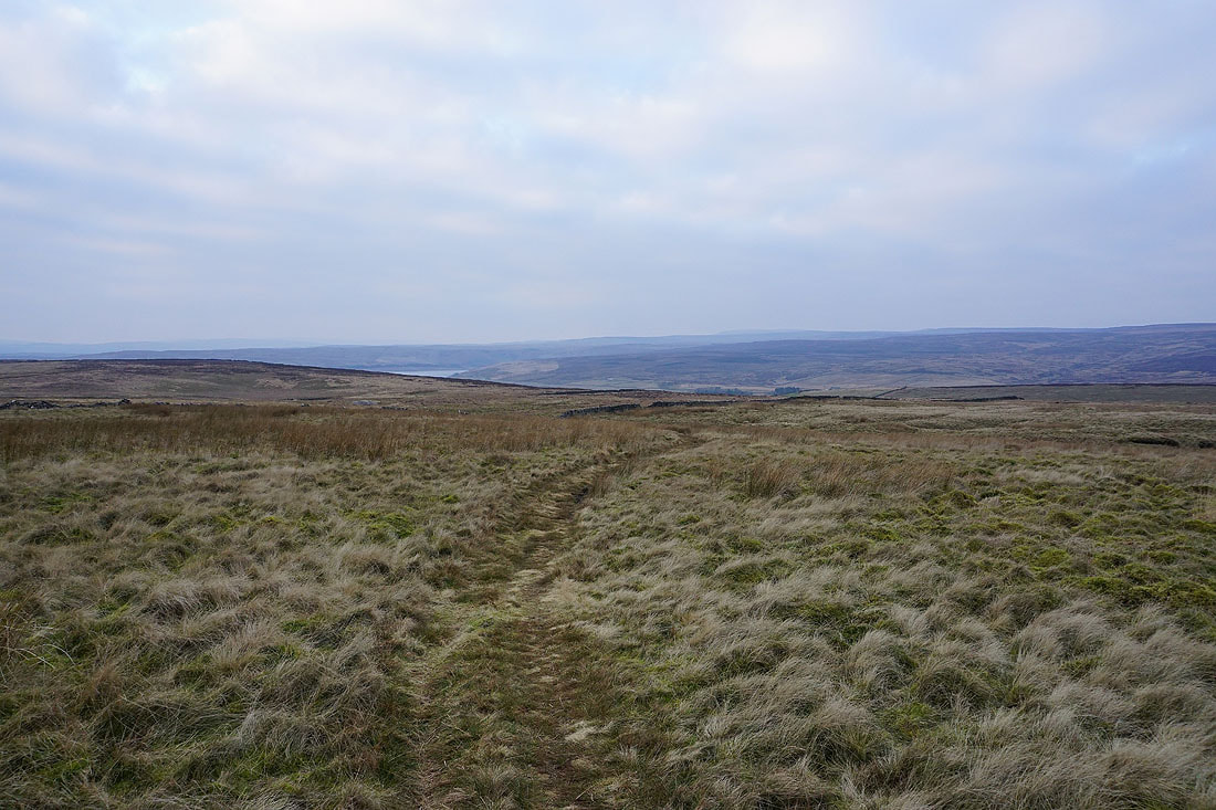
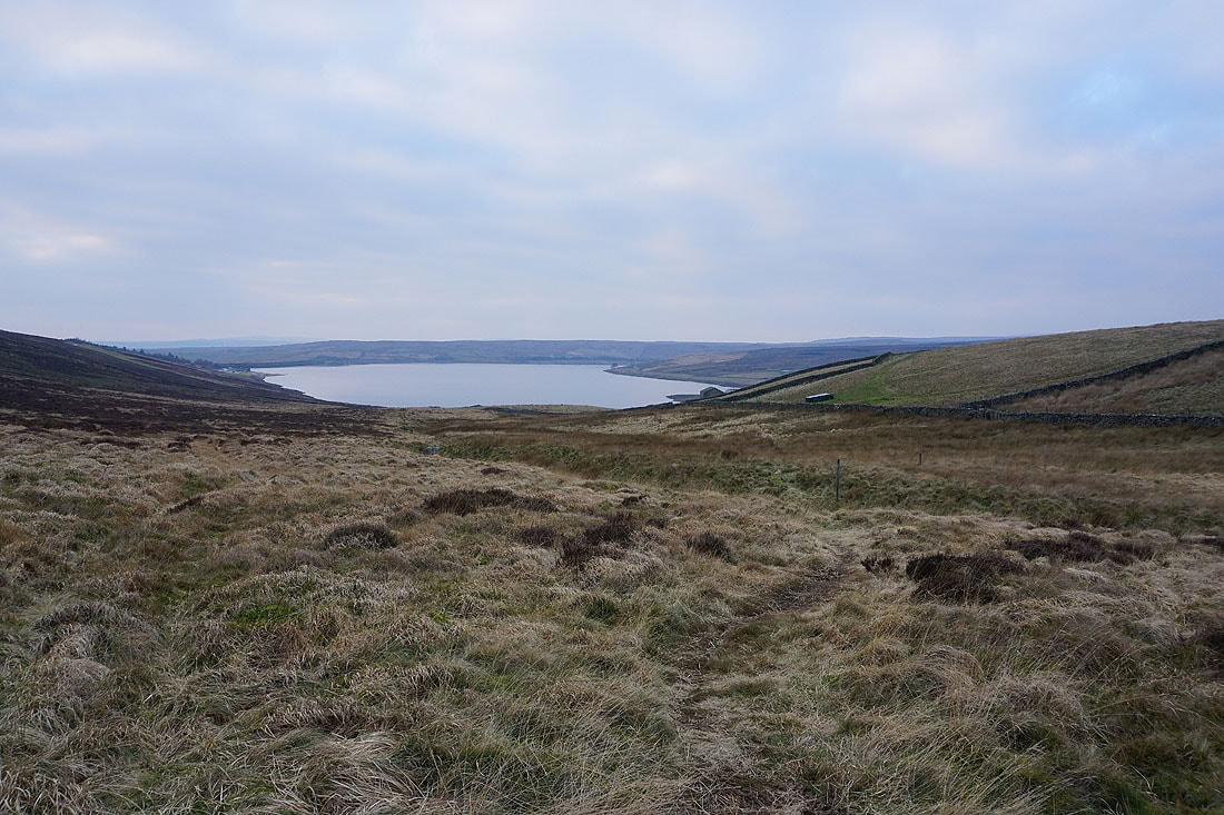
Grimwith Reservoir from Nursery Knot
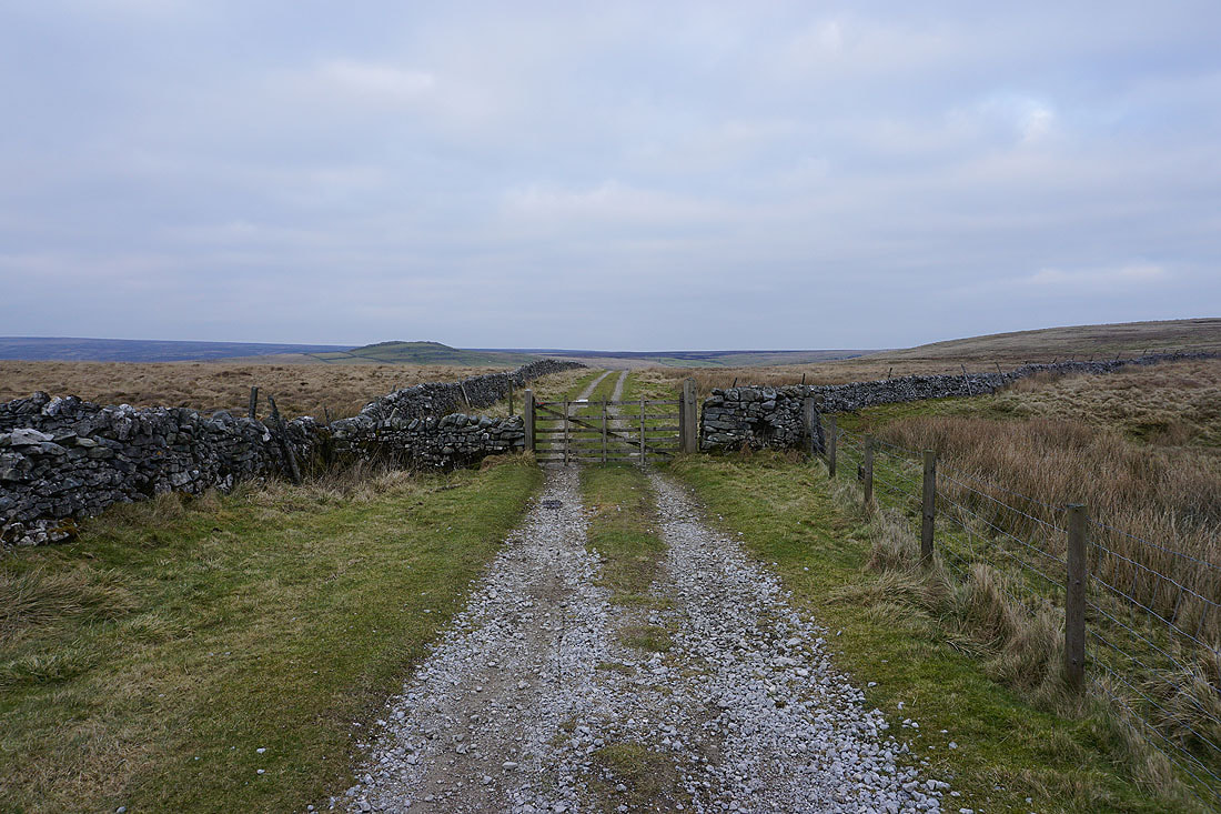
Leaving Nursery Knot I take the footpath to the eastern shore of Grimwith Reservoir..
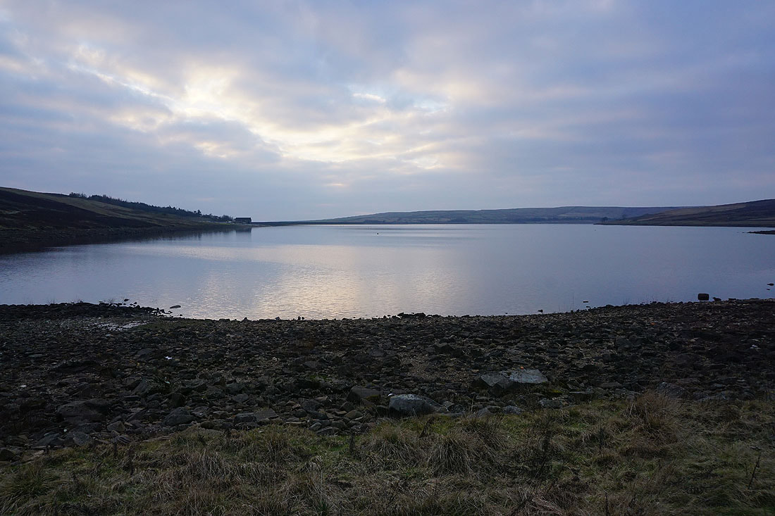
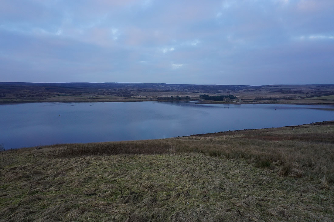
Views across Grimwith Reservoir as I make my way back to the car park. I think it's the brightest that it's been all day...
