12th January 2020 - Cracoe Fell
Walk Details
Distance walked: 10.0 miles
Total ascent: 1554 ft
OS map used: OL2 - Yorkshire Dales, Southern & Western areas
Time taken: 5.5 hrs
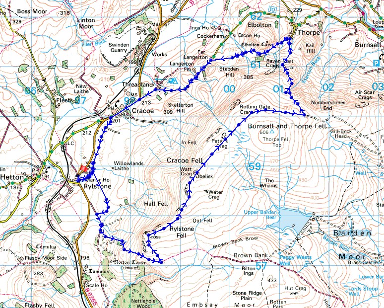
Route description: Rylstone-St. Peter's Church-High Bark-Rylstone Cross-Cracoe Fell-Peter's Crag-Rolling Gate Nook-Thorpe-Far Langerton-Thorpe Lane-Cracoe-Chapel Lane-Rylstone
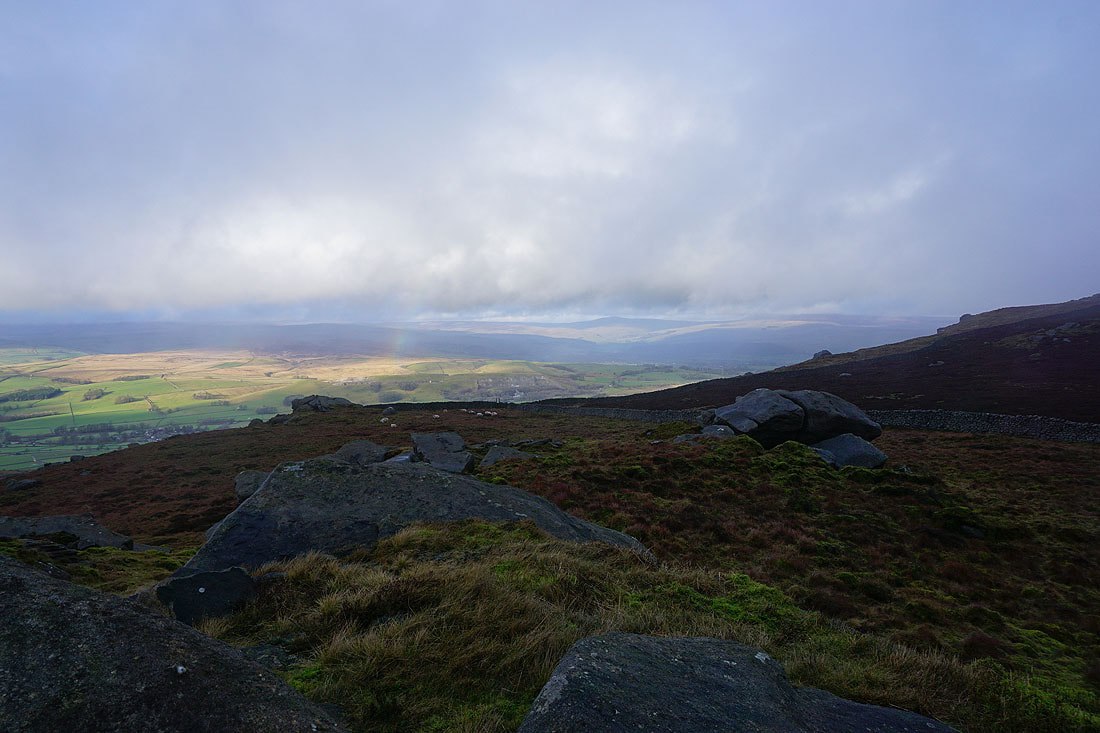
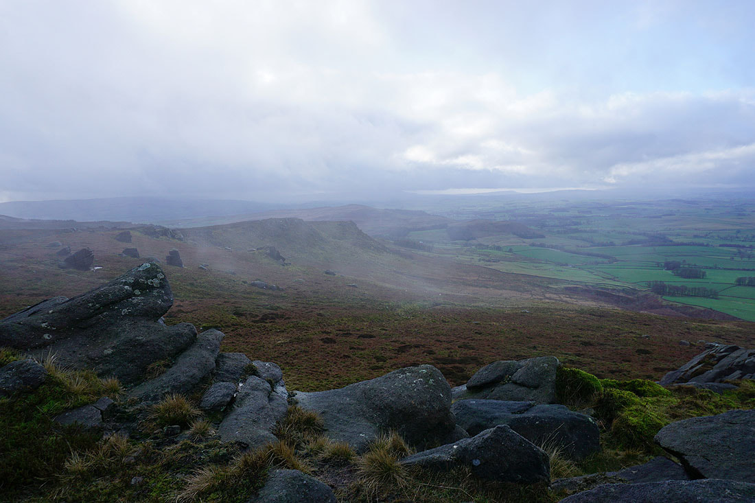
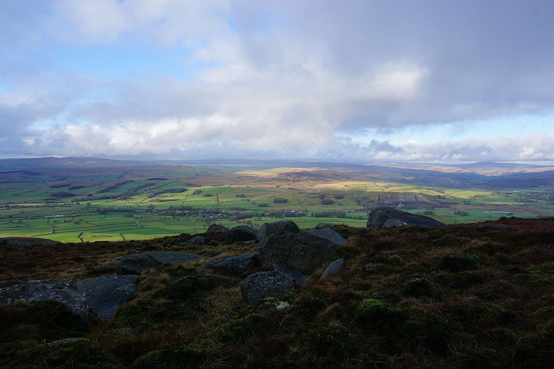
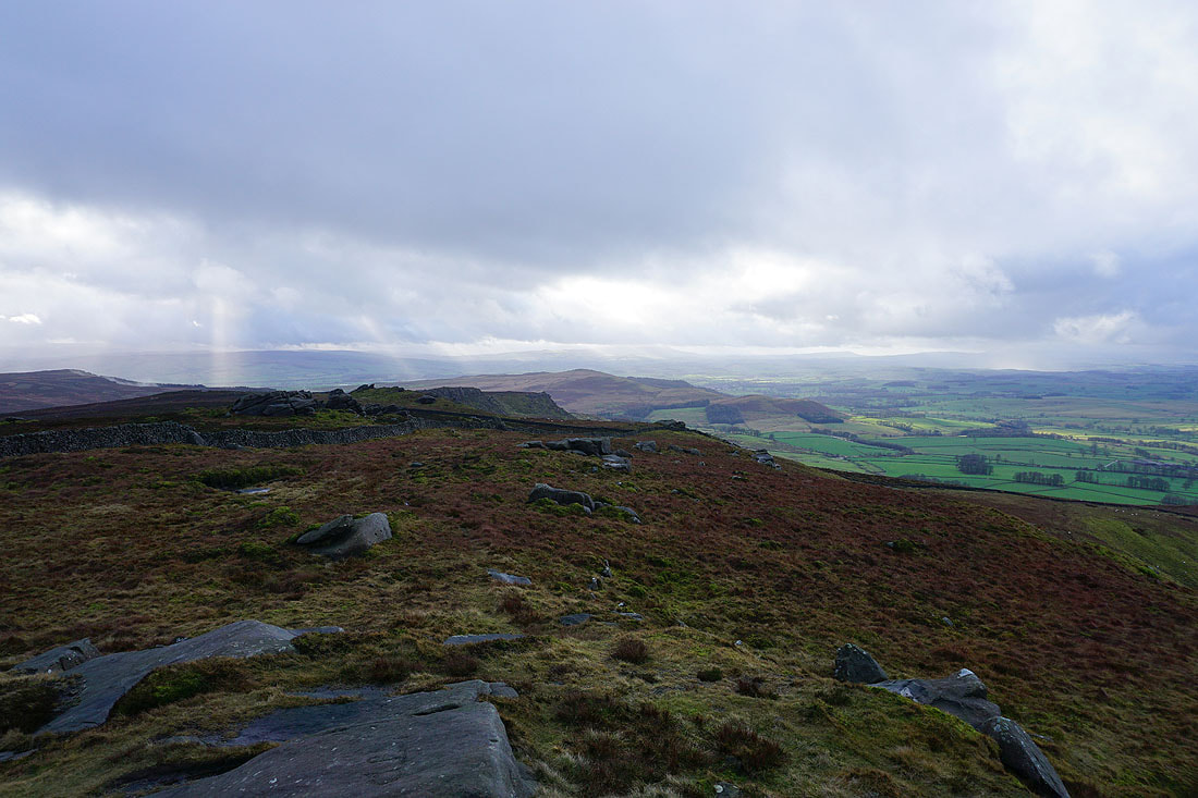
Not the best of weather again this weekend but it's an improvement on the last one, at least there's a bit of sunshine in the forecast for today. I decided to stay close to home and do a walk across Cracoe Fell (the northwestern part of Barden Moor), starting from Rylstone. I know Barden Moor well and I did this exact same route back in September 2018. There's more daylight available at that time of year though and with a late start of 1100 from Rylstone I couldn't waste any time as I made my way round. Despite that I still arrived back in Rystone with the sun having already set. Weather-wise there was a bit of nearly everything thrown in today. Low cloud, showers, the odd rainbow, and a strong cold wind, but there was room for a bit of sunshine as things improved a little during the afternoon.
From the layby on the Grassington Road in Rylstone I crossed the road and took the lane past Manor House and then the bridleway to St. Peter's Church. I then took the bridleway south to then pick up another bridleway that heads up onto and across Barden Moor. When the bridleway reached the wall at High Bark that heads north up across the moor I left it behind to follow a path by the wall to reach a ladder stile that gives access to Rylstone Cross. After taking in the views I crossed back over the wall and followed it north to the war memorial on Watt Crag. A sheltered spot out of the wind was found here for having lunch. I then crossed back over the wall and continued to follow a path then track to the northeast then east along the edge of the moor to reach a shooting lodge. This was my cue for the path down to Thorpe. It's clear enough as it heads north down the moor to an enclosed track that reaches the southern edge of Thorpe. As soon as the track reached the tarmacked road I turned left and took the footpath that heads west beneath Elbolton Hill and across fields to Far Langerton on Thorpe Lane. A walk west along the lane brought me to Cracoe and after walking through Cracoe I used the track of Chapel Lane to take me back to Rylstone and where I was parked.
Route map
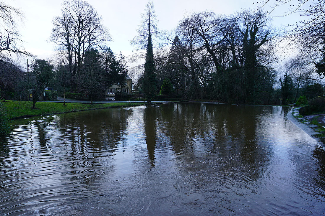
The duck pond in Rylstone
There's some brightness around as I set off
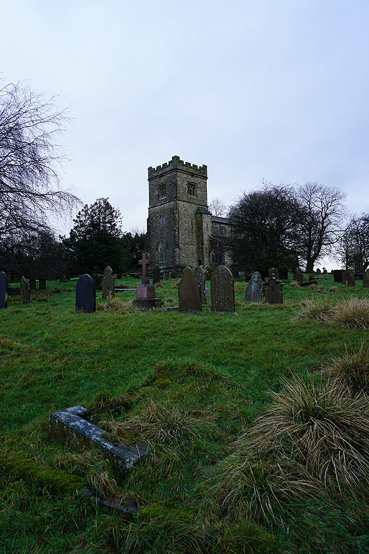
The church of St. Peter's in Rylstone
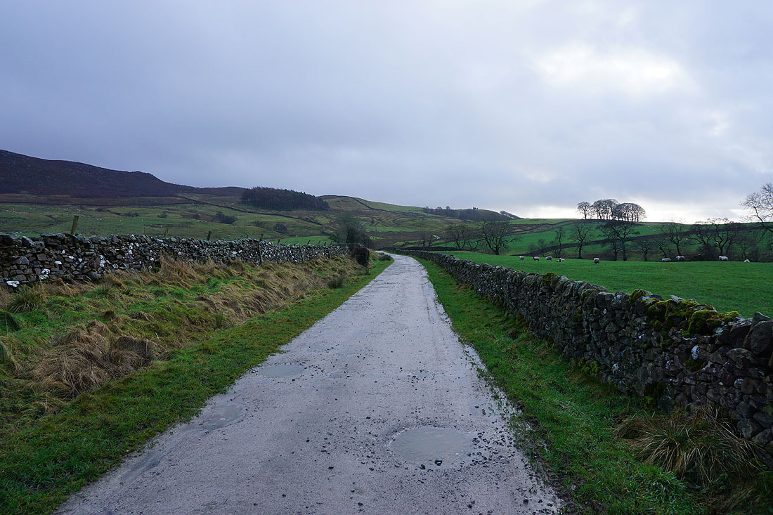
On the bridleway to Rylstone Fell
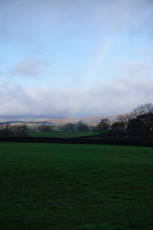
A hint of a rainbow
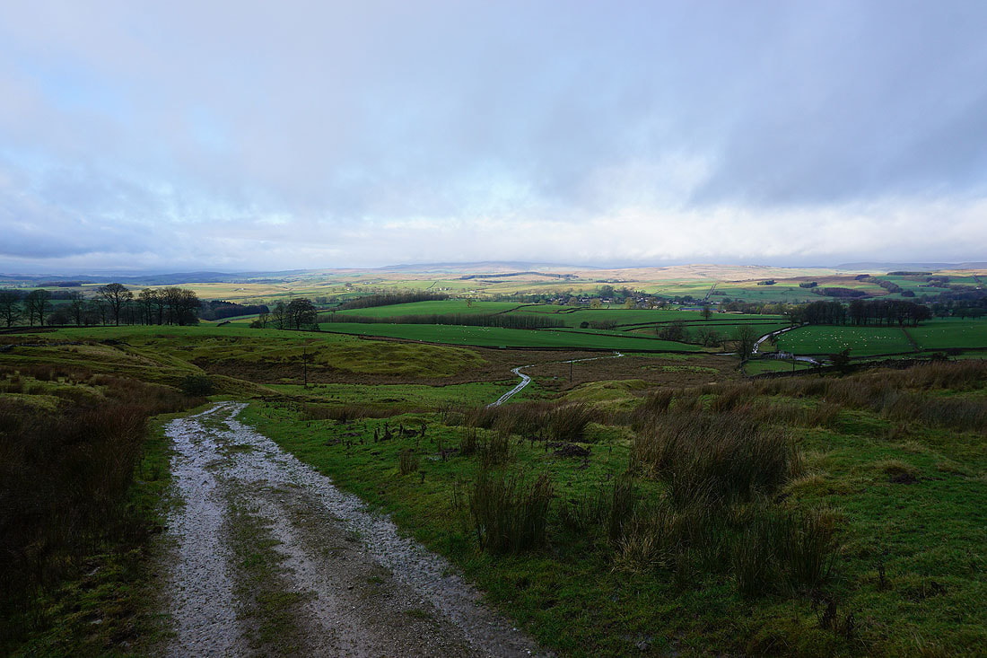
Looking back with sunshine on Hetton Common in the distance
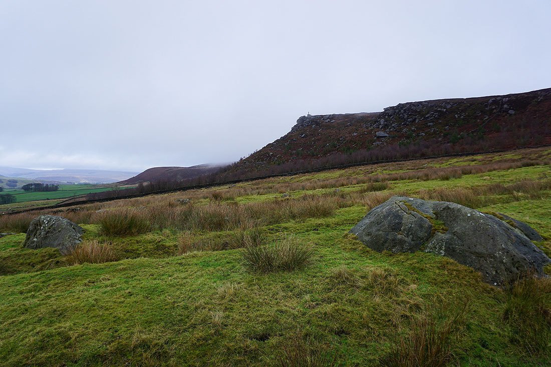
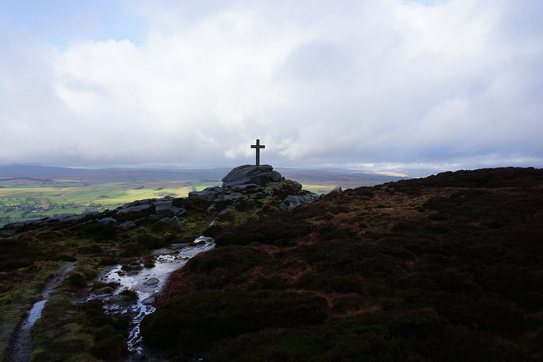
To my left I can make out Rylstone Cross on top of its crag
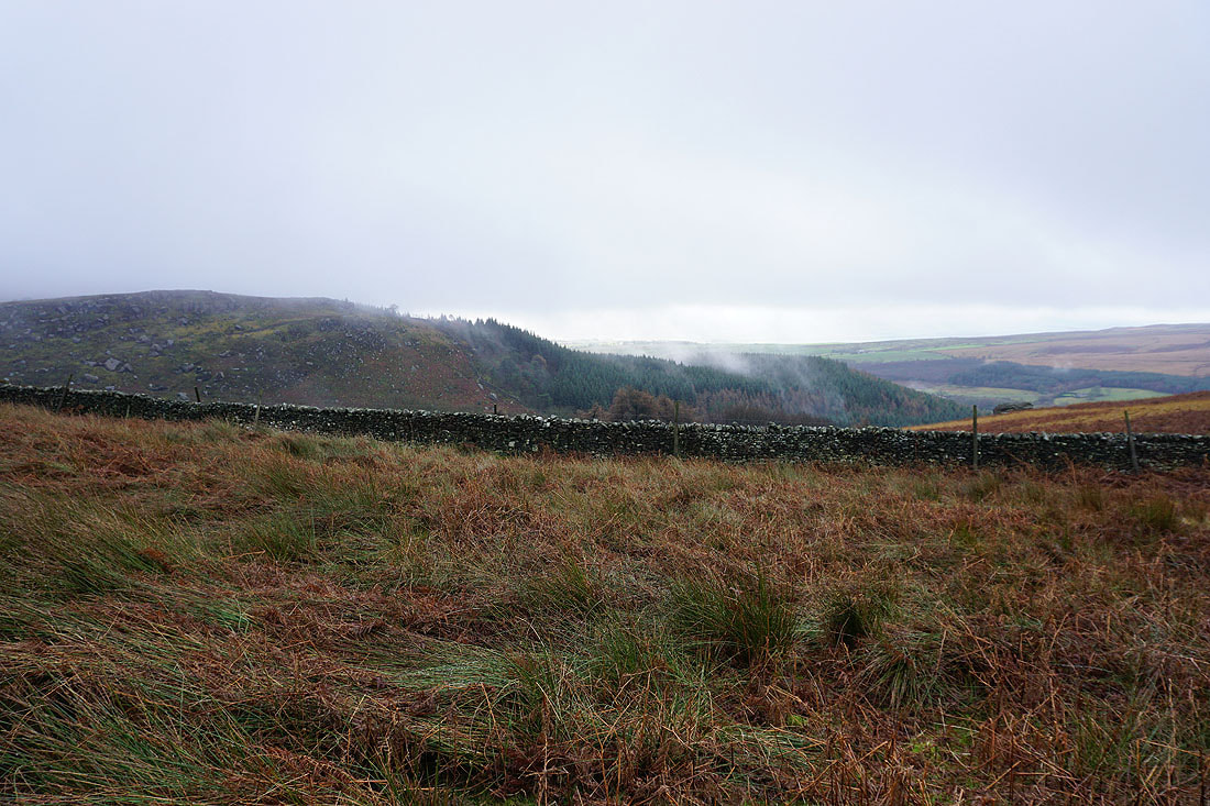
Mist rising from Nettlehole Wood
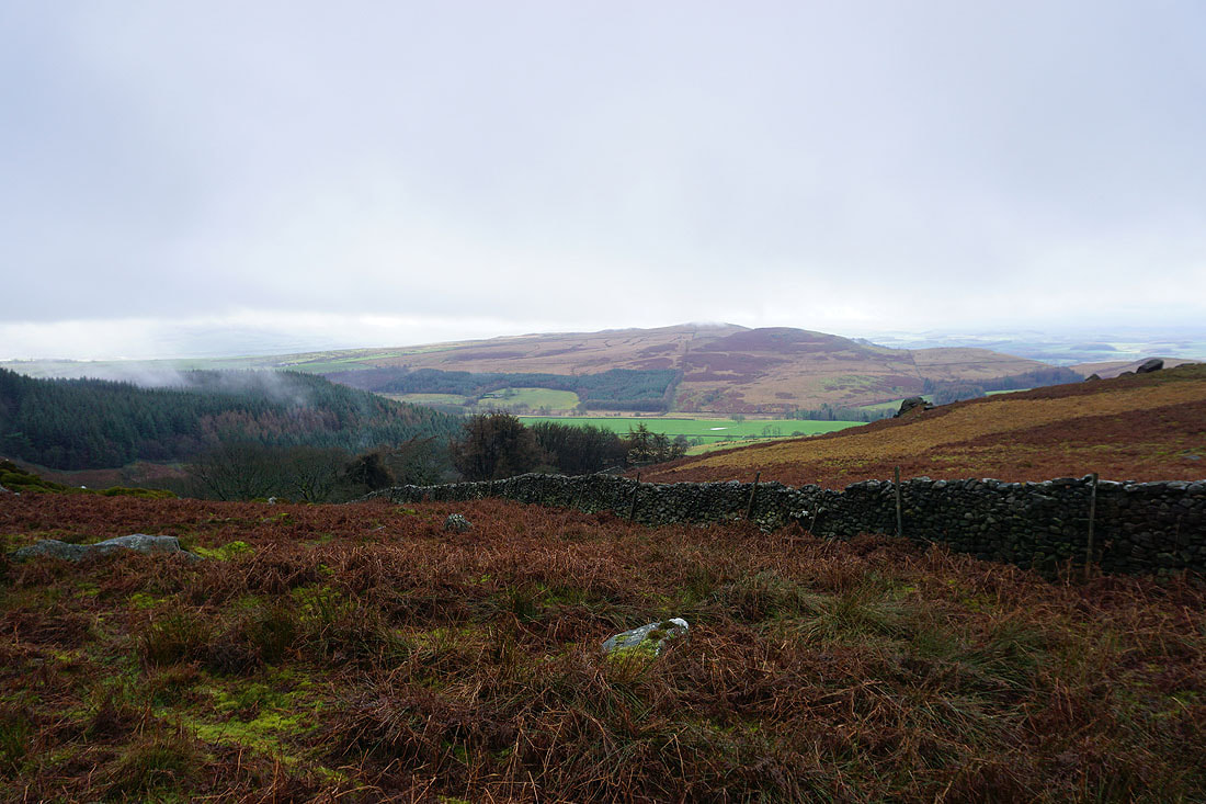
The cloud is so low at the moment it's touching the top of Sharp Haw
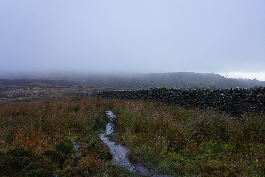
So it's no surprise that the higher parts of the moor are hidden in it
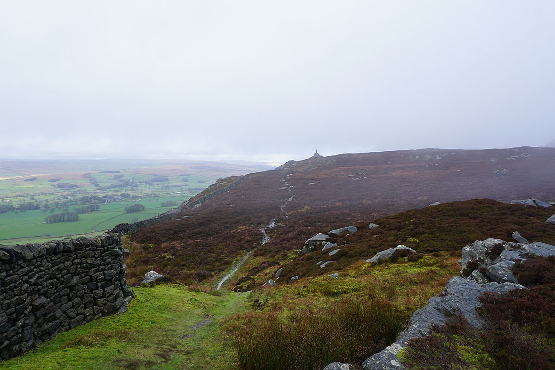
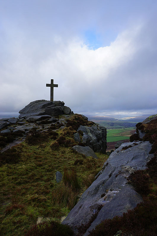
Following the path along the edge to Rylstone Cross...
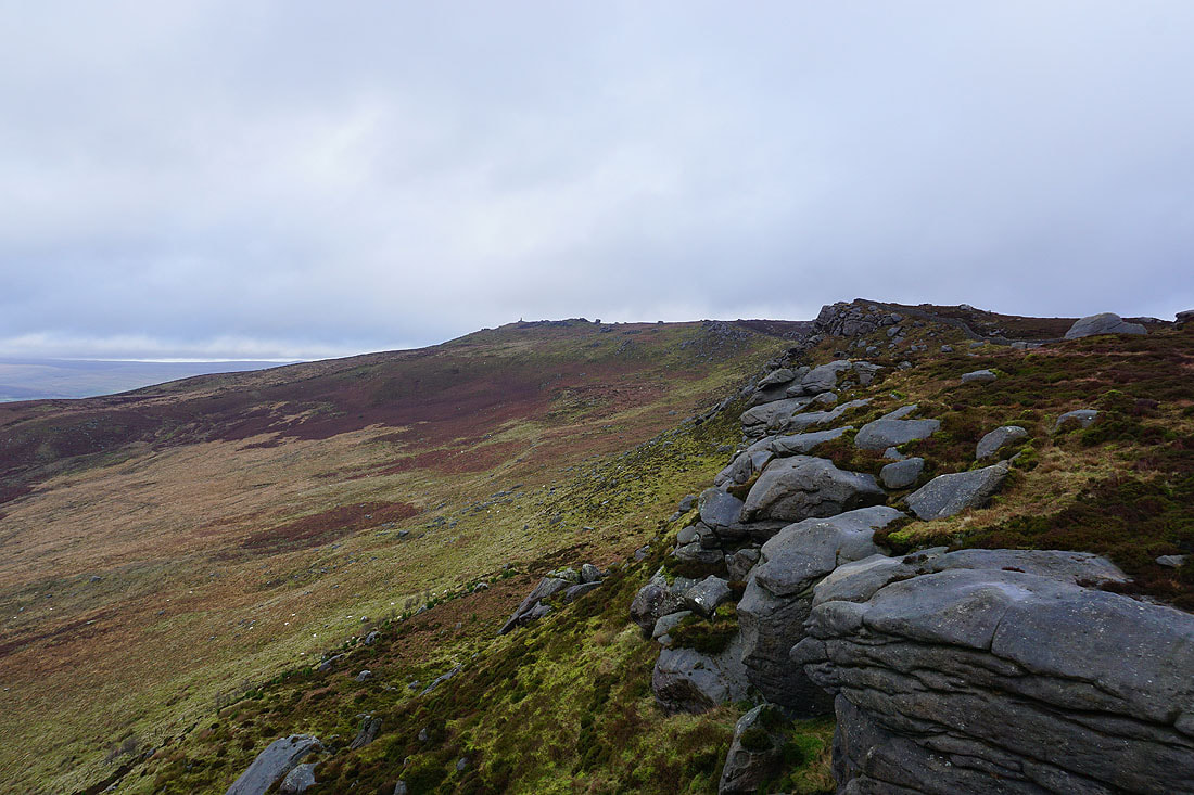
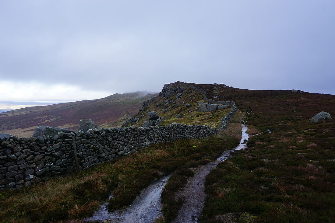
Looking northeast along the edge of the crags to the war memorial on Cracoe Fell
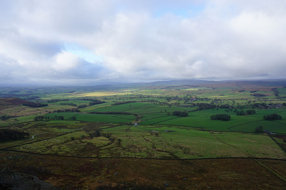
The view northwest from Rylstone Cross to Scosthrop Moor, Kirkby Fell and Weets Top
Sharp Haw and Rough Haw
The cloud has lifted from Crookrise Crag Top and the western part of Barden Moor
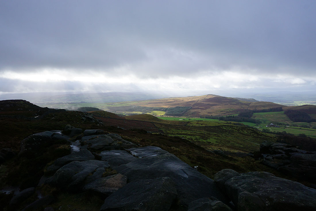
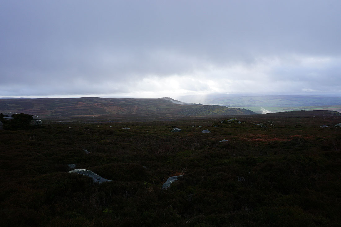
The sun breaking through the cloud adds some drama to the scene
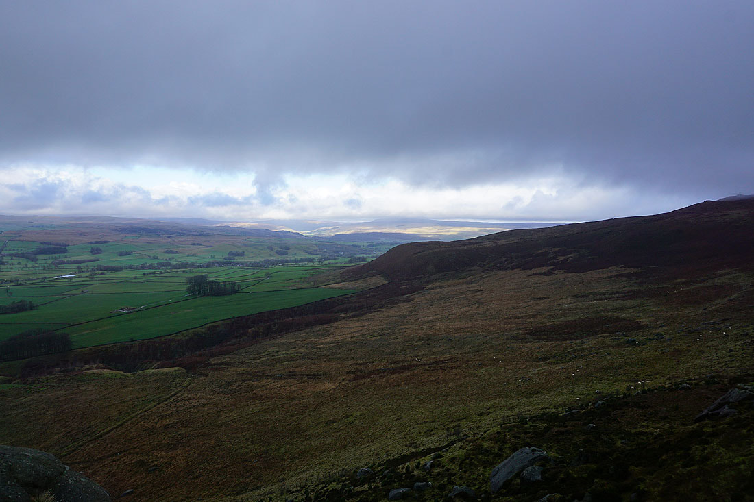
Looking towards Wharfedale where Buckden Pike and Great Whernside have their heads in the clouds
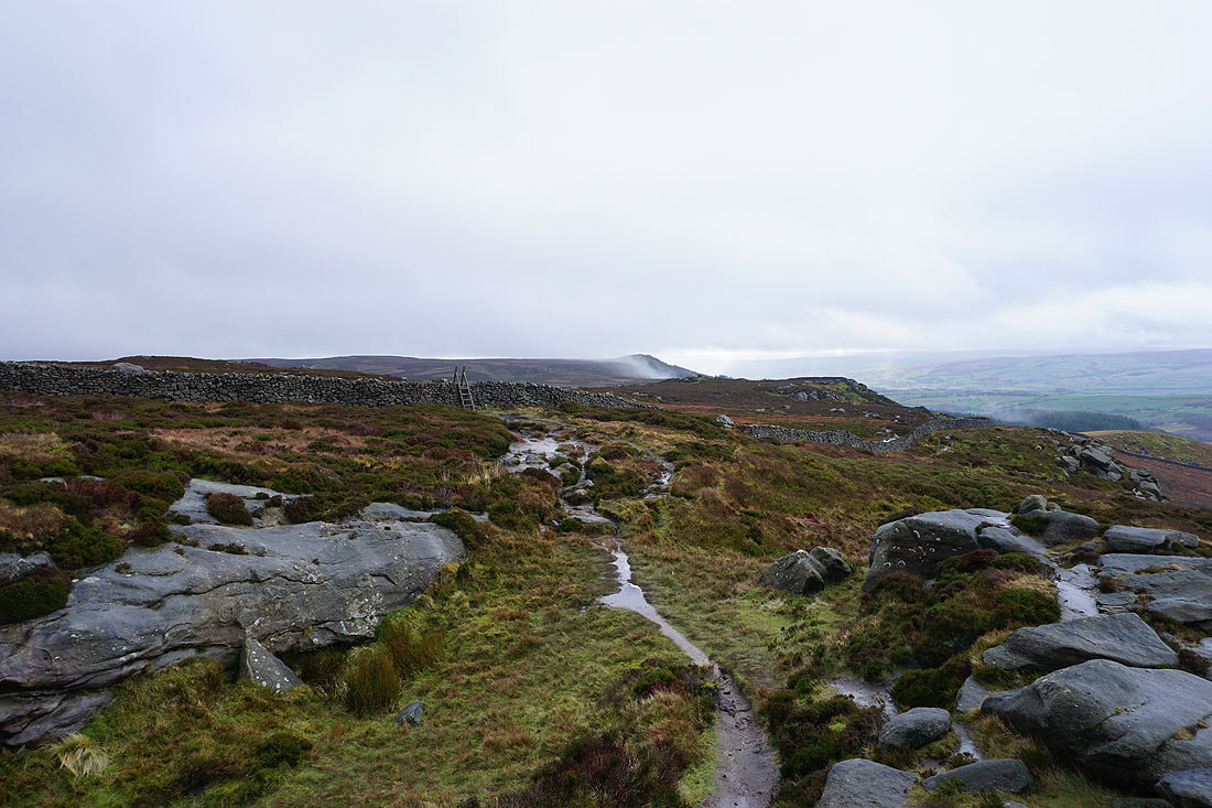
Back onto the path along the edge to Cracoe Fell
Embsay Moor and Crookrise Crag Top
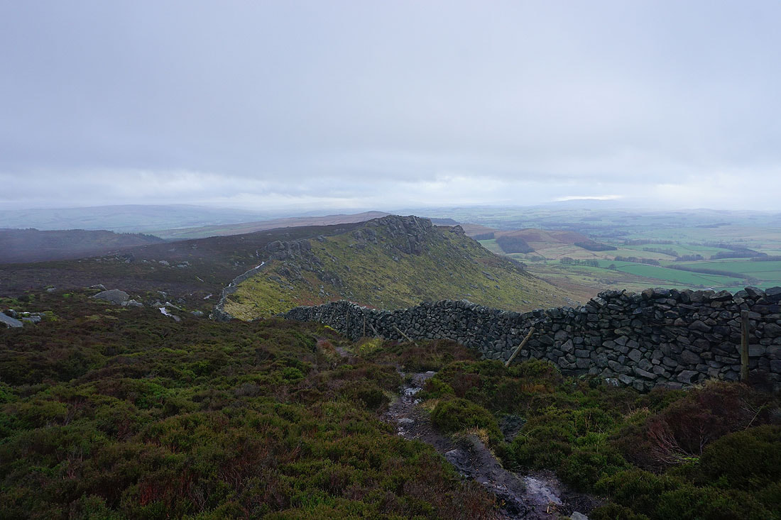
Looking back along the crags towards Rylstone Cross
The weather briefly takes a turn for the worse as a shower passes through..
It soon clears though and leaves mist rising from the fellside
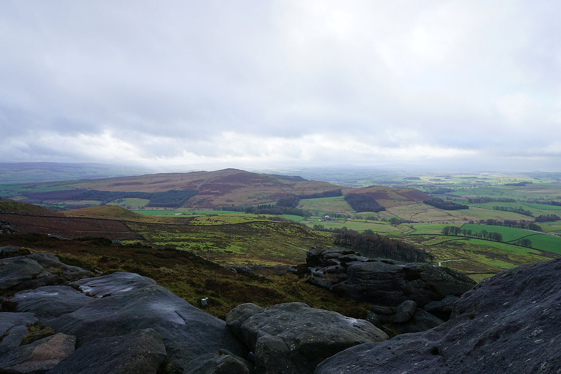
The war memorial is a good spot to take a break and get some shelter from the wind. It also has a good view now that the weather has improved, starting with looking northwest to Kirkby Fell, Weets Top, Threshfield Moor and Malham Moor.
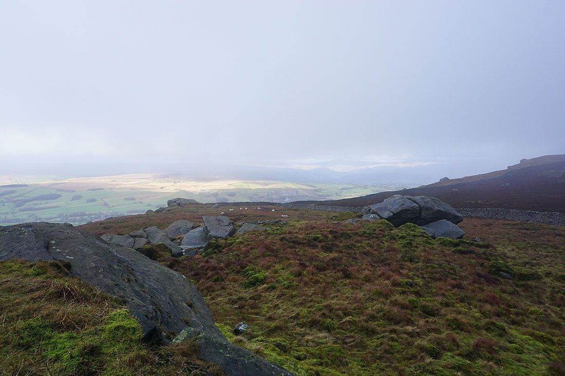
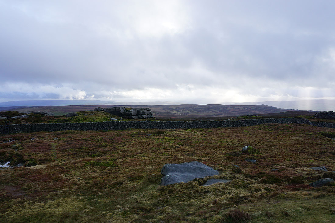
Looking southwest along the edge of the crags to Rylstone Fell and Sharp Haw
Embsay Moor and Crookrise Crag Top, with South Pennines moors in the distance
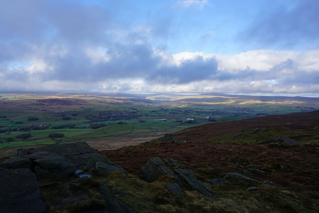
Threshfield Moor, Malham Moor, Wharfedale, Buckden Pike and Great Whernside
The gentle rise of Burnsall Fell, which is the high point on Barden Moor
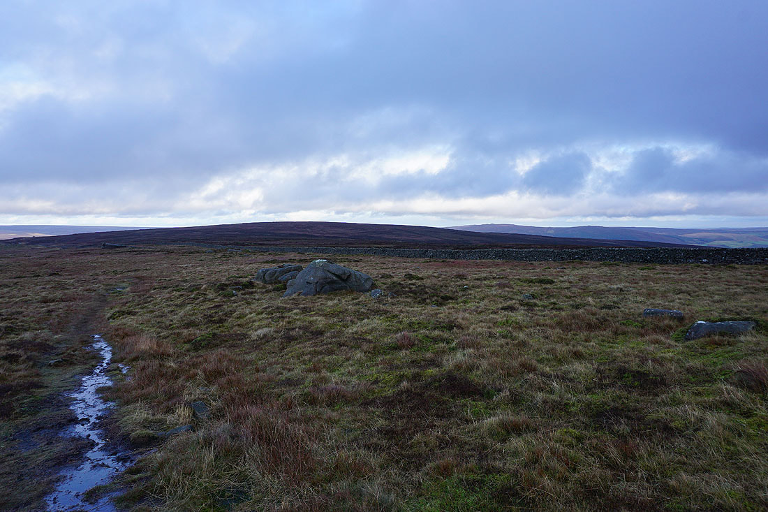
I leave the memorial behind and continue northeast along the edge of the moor
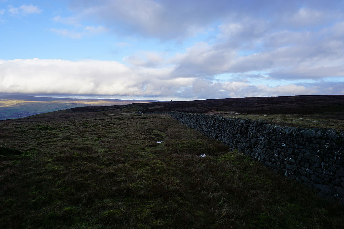
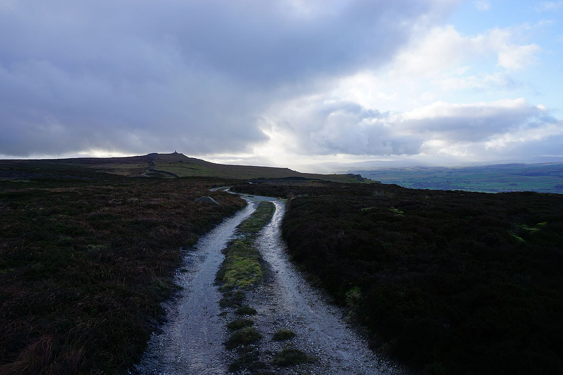
Looking back to the memorial on Cracoe Fell from the shooter's track around Burnsall Fell
Beamsley Beacon and Ilkley Moor in the distance down Wharfedale
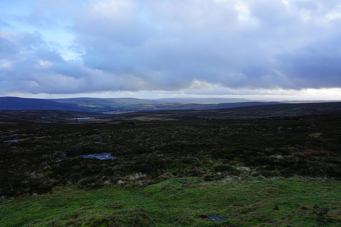
The moors around Grimwith Reservoir with Simon's Seat in the distance on the right
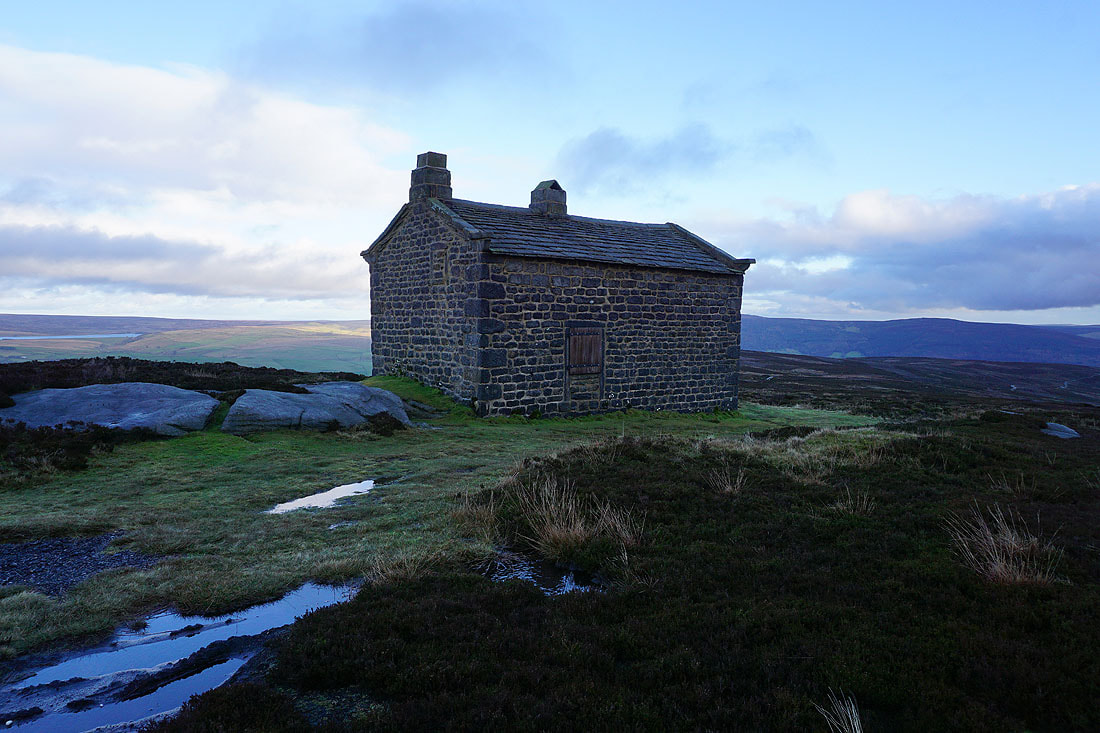
This shooter's hut is my cue for the path down to Thorpe. A small cairn next to the track marks its location.
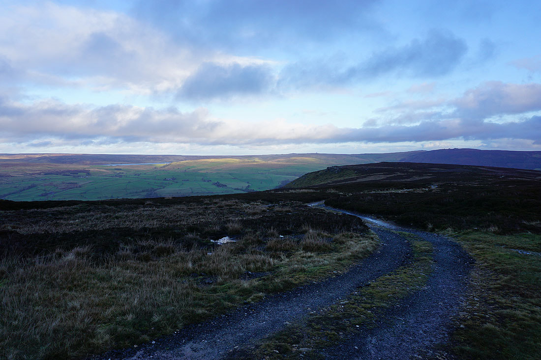
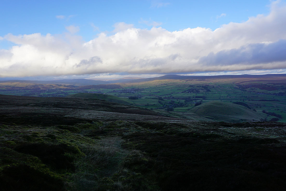
I have a dramatic view of sunlit clouds on the other side of Wharfedale as I start my descent
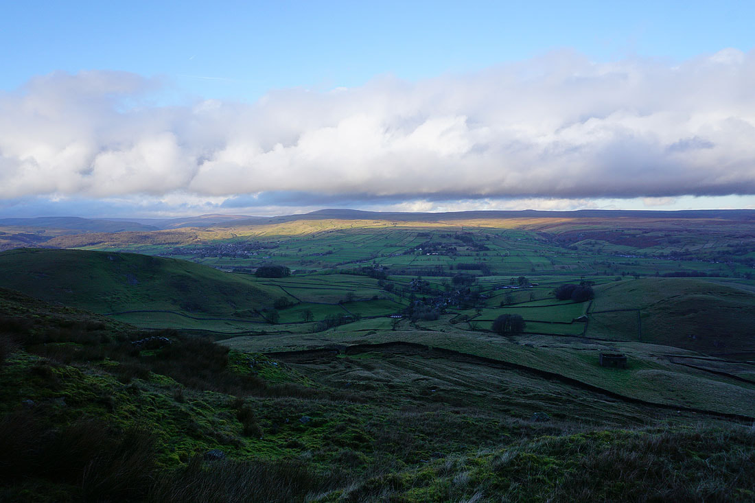
The hamlet of Thorpe below
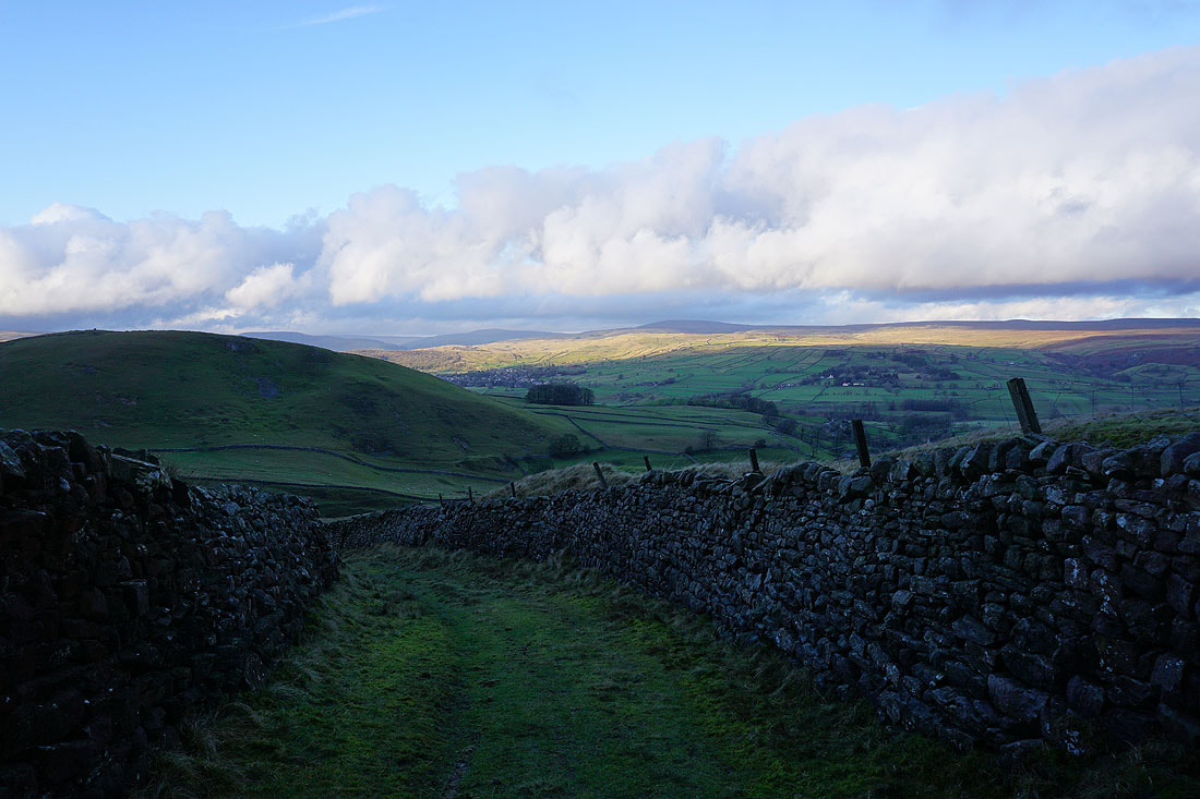
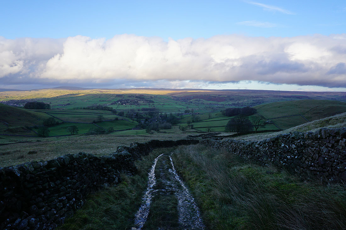
I have a great view across Wharfedale as the path becomes a track and heads down into Thorpe...
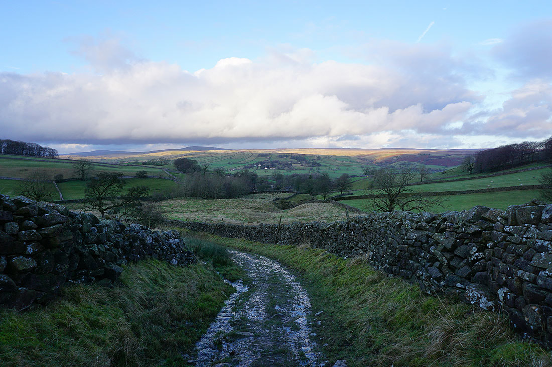
I leave Thorpe on the path that heads west through the gap between Burnsall Fell and Elbolton Hill
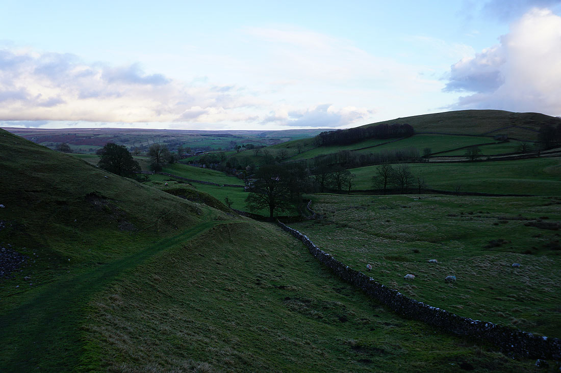
Looking back to Thorpe with Kail Hill on the right
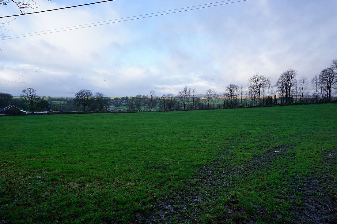
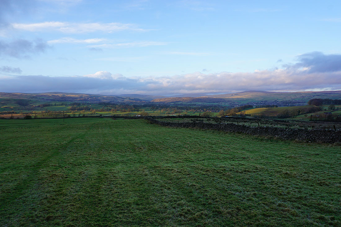
Long shadows across Wharfedale as I follow the path across fields to Thorpe Lane
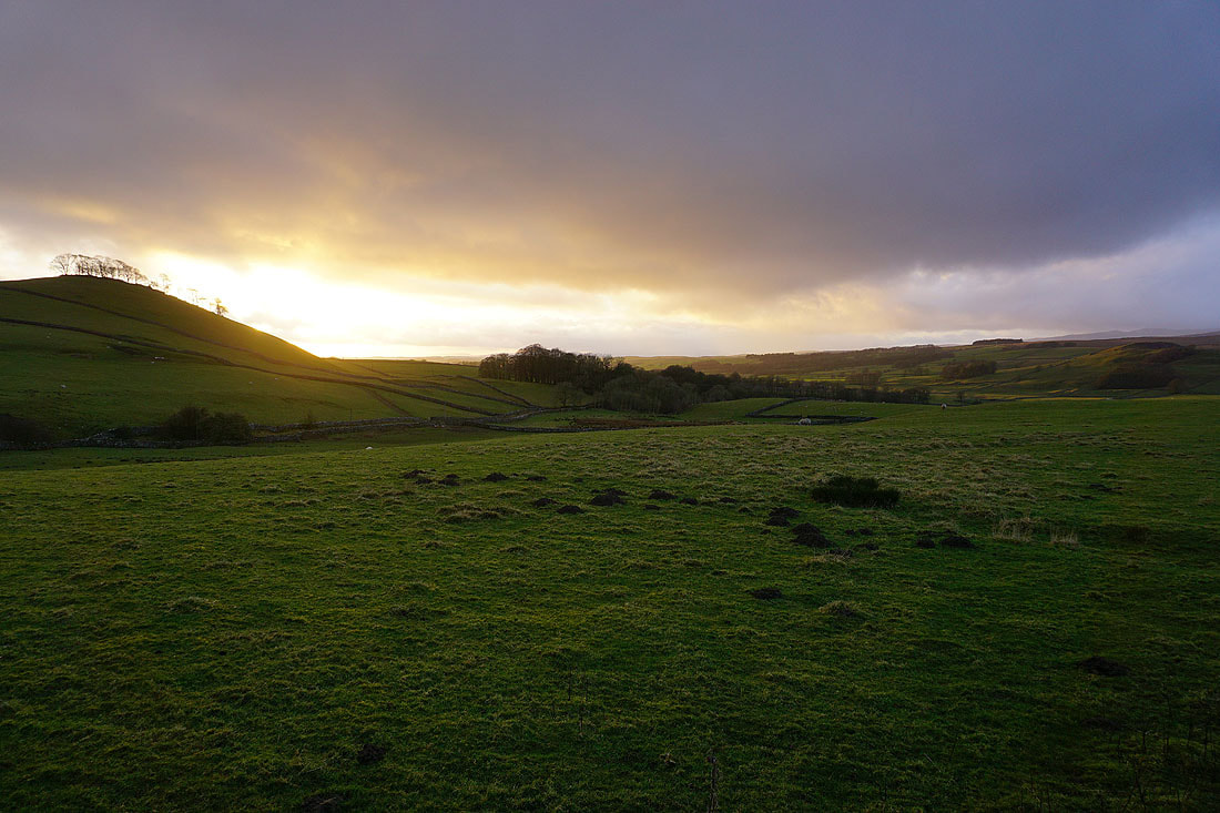
The setting sun casts a lovely light
Walking along Thorpe Lane to Cracoe
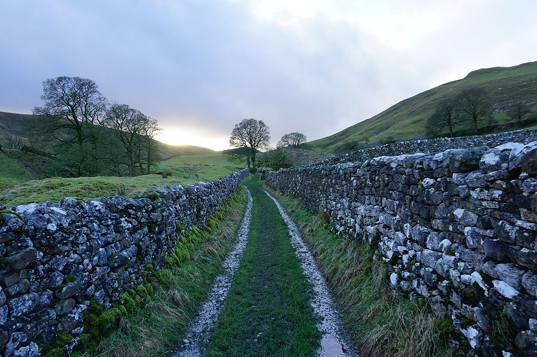
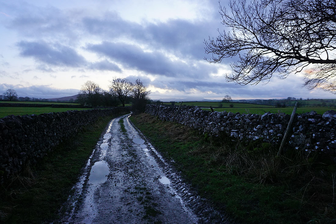
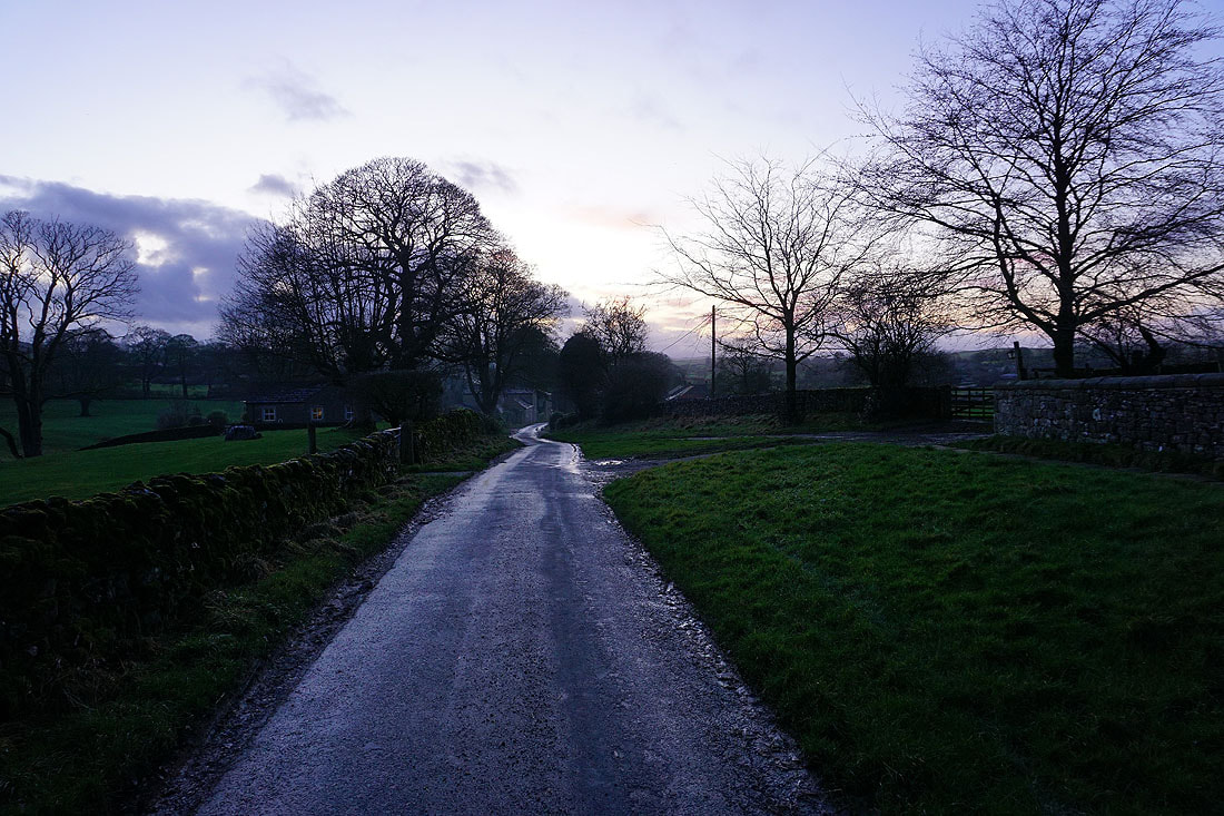
Following the track of Chapel Lane from Cracoe to Rylstone
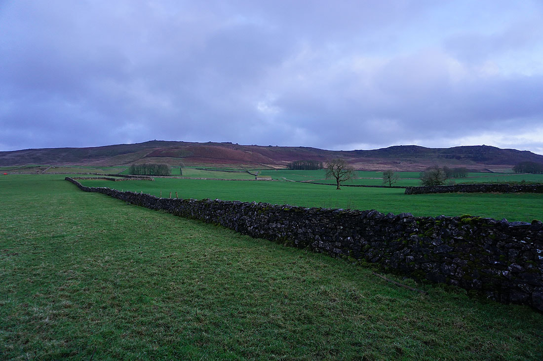
Cracoe Fell above me to my left
The sun has well and truly set as I finally arrive back in Rylstone
