12th July 2009 - Back o'Skidda and Binsey
Walk Details
Distance walked: 11.4 miles
Total ascent: 3101 ft
OS map used: OL4 - The English Lakes, North-western area
Time taken: 6.5 hrs
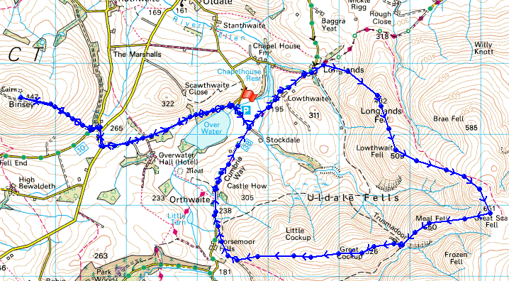
Route description: Car park by Over Water-Lowthwaite-Longlands-Longlands Fell-Lowthwaite Fell-Little Sca Fell-Great Sca Fell-Meal Fell-Trusmadoor-Great Cockup-Orthwaite-Over Water-Binsey Lodge-Binsey-Binsey Lodge-Car park by Over Water
This was my first day in the Lakes and I'd planned to pay a visit to all the summits of the Uldale fells back of Skiddaw but the weather put paid to that idea. So I decided to cut the walk short and bag Binsey, one Wainwright in the area I had yet to visit.
I parked in the car park by Over Water and set off along the road to Longlands. From Longlands I then made my way up and across Longlands Fell, Lowthwaite Fell and Little Sca Fell to Great Sca Fell. There was no hanging around though because of the wind and rain and it was straight down to Meal Fell. From Meal Fell I crossed Trusmadoor to Great Cockup and then it was down to the hamlet of Orthwaite. I now had to make my way across to Binsey. I had hoped to use the footpath from Orthwaite to Overwater Hall but walking through the fields I was buzzed by a buzzard. It was very persistant so I took the hint and walked the long way round. After Binsey it was back to the car park at Over Water.
Total ascent: 3101 ft
OS map used: OL4 - The English Lakes, North-western area
Time taken: 6.5 hrs
Route description: Car park by Over Water-Lowthwaite-Longlands-Longlands Fell-Lowthwaite Fell-Little Sca Fell-Great Sca Fell-Meal Fell-Trusmadoor-Great Cockup-Orthwaite-Over Water-Binsey Lodge-Binsey-Binsey Lodge-Car park by Over Water
This was my first day in the Lakes and I'd planned to pay a visit to all the summits of the Uldale fells back of Skiddaw but the weather put paid to that idea. So I decided to cut the walk short and bag Binsey, one Wainwright in the area I had yet to visit.
I parked in the car park by Over Water and set off along the road to Longlands. From Longlands I then made my way up and across Longlands Fell, Lowthwaite Fell and Little Sca Fell to Great Sca Fell. There was no hanging around though because of the wind and rain and it was straight down to Meal Fell. From Meal Fell I crossed Trusmadoor to Great Cockup and then it was down to the hamlet of Orthwaite. I now had to make my way across to Binsey. I had hoped to use the footpath from Orthwaite to Overwater Hall but walking through the fields I was buzzed by a buzzard. It was very persistant so I took the hint and walked the long way round. After Binsey it was back to the car park at Over Water.
Route map
© Crown copyright. All rights reserved. License number PU 100034184.
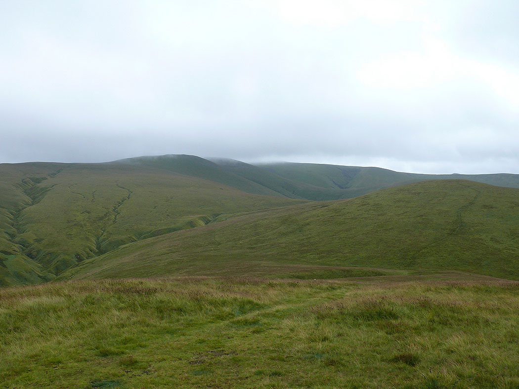
On Longlands Fell and the view ahead to Lowthwaite Fell and up to Little and Great Sca Fell
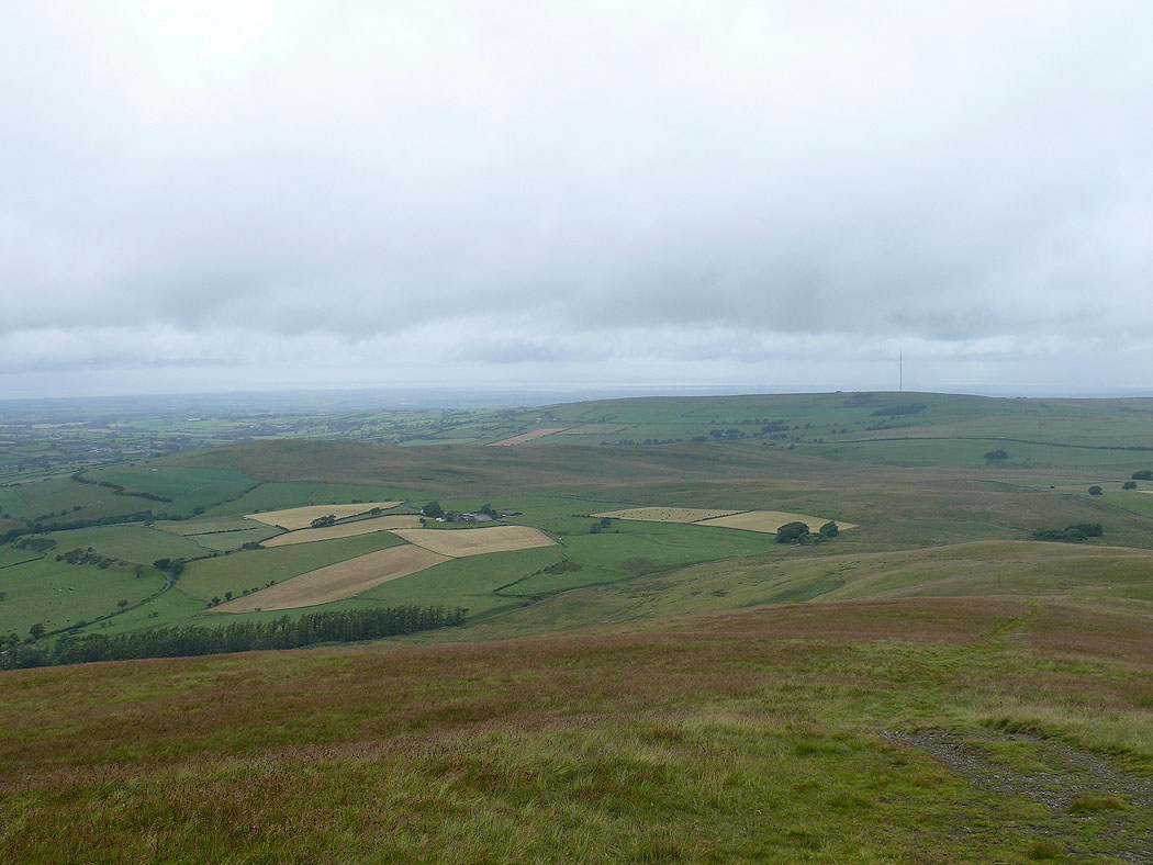
Over Water and Binsey
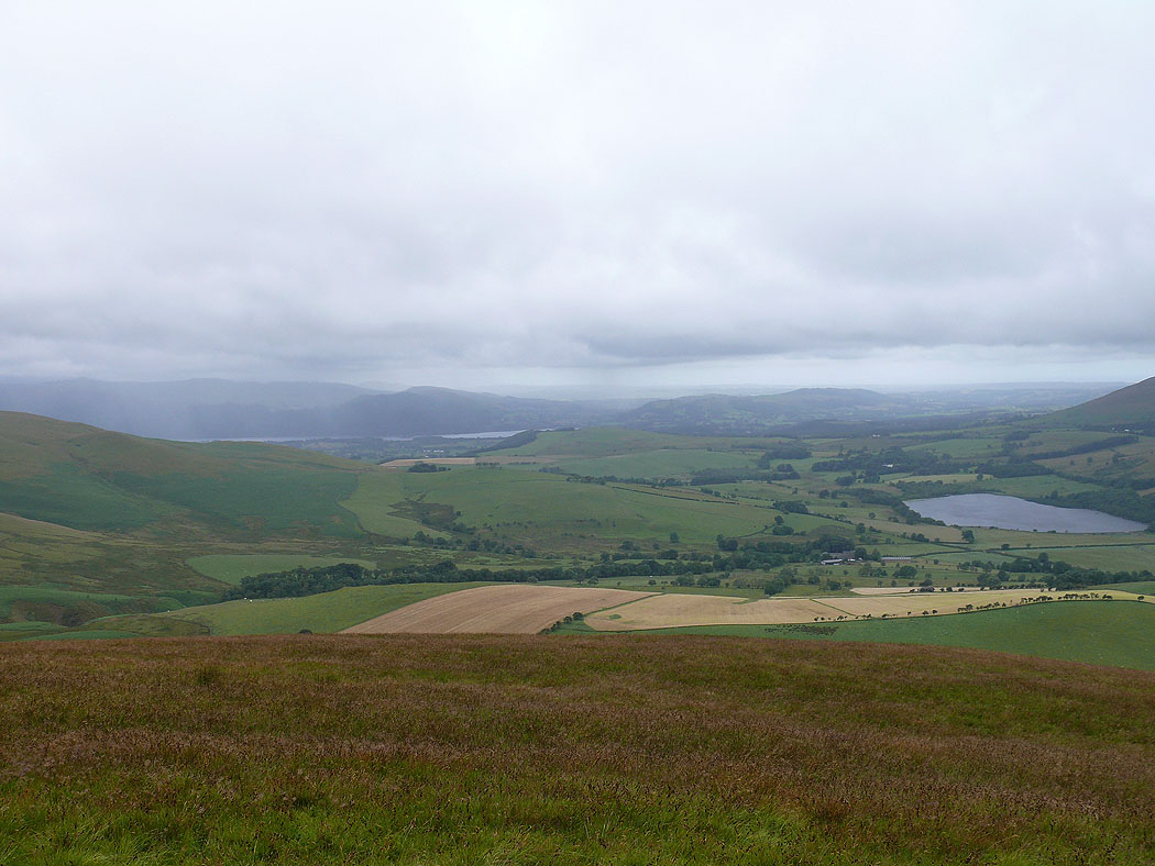
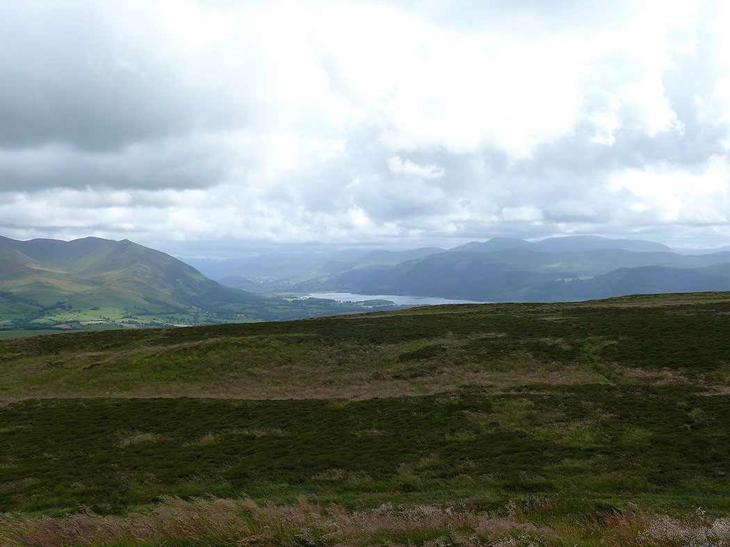
A glimpse of Bassenthwaite Lake to the left
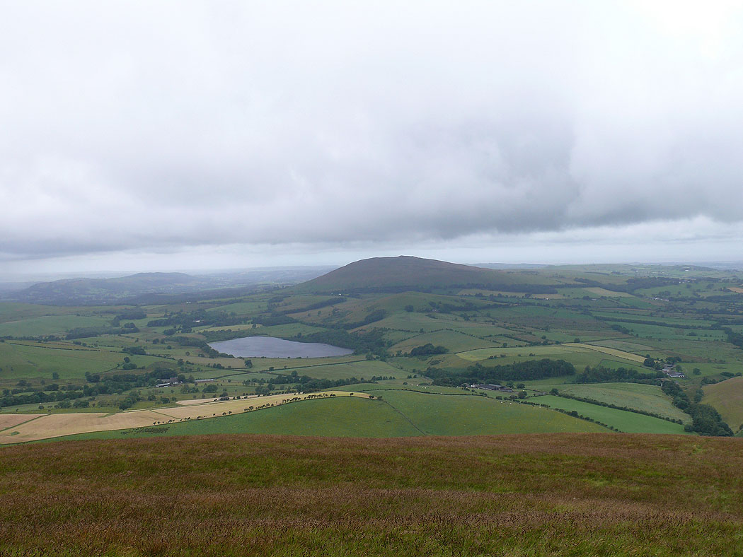
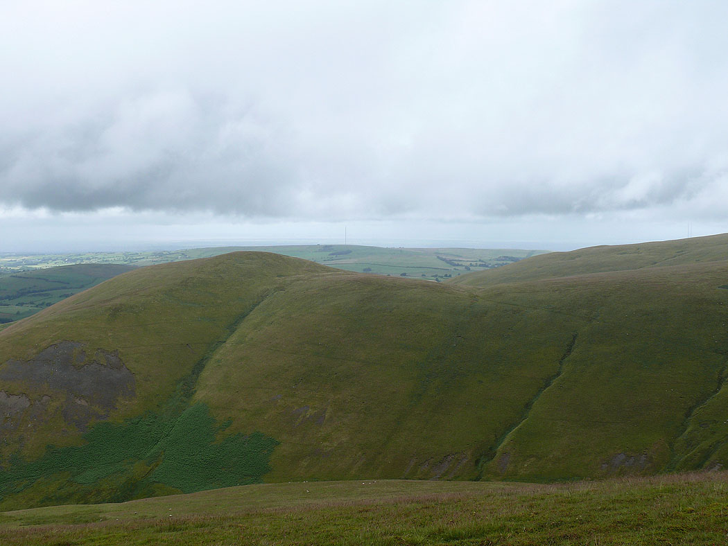
Aughertree Fell, Faulds Brow and out to the Solway Firth
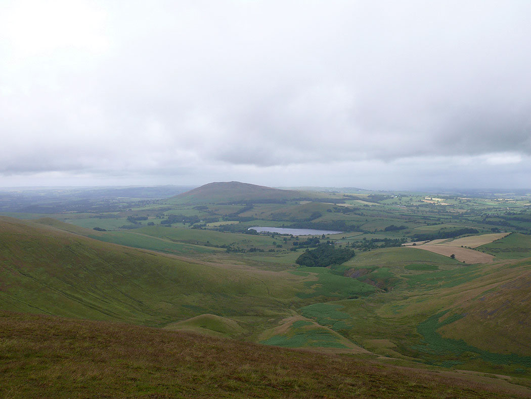
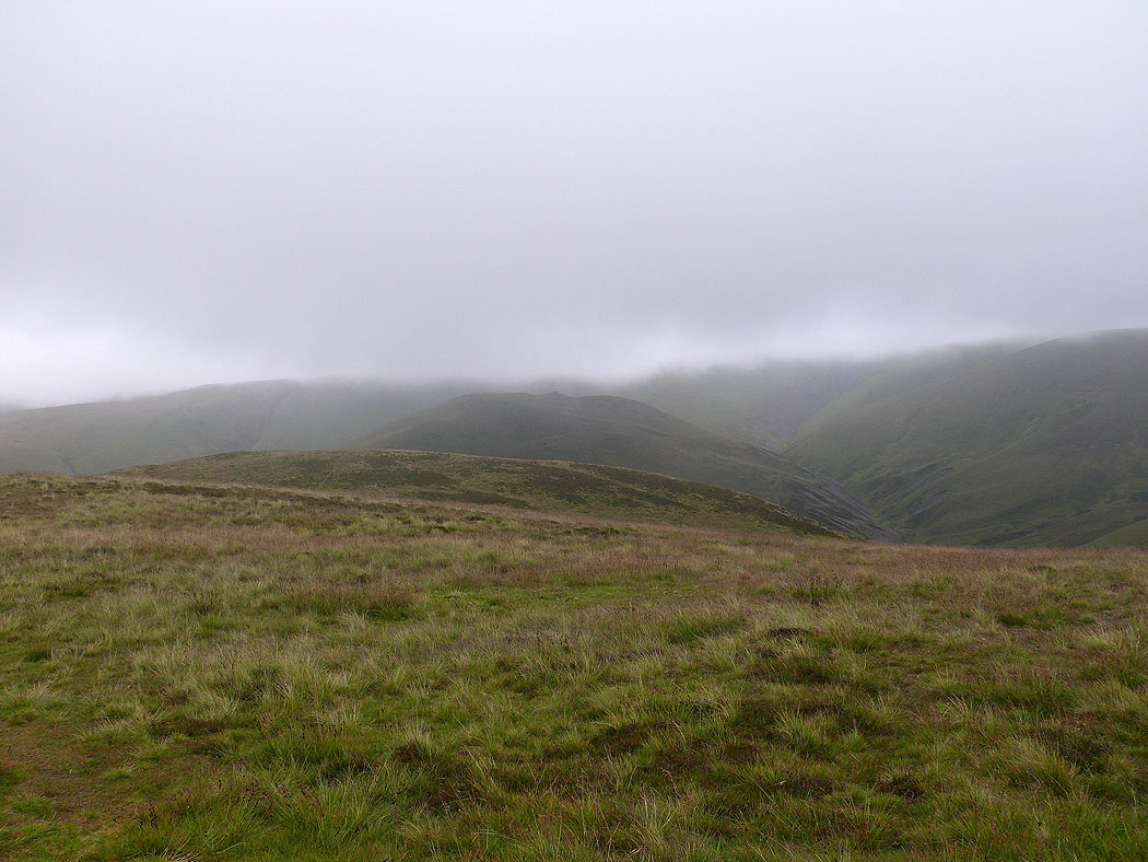
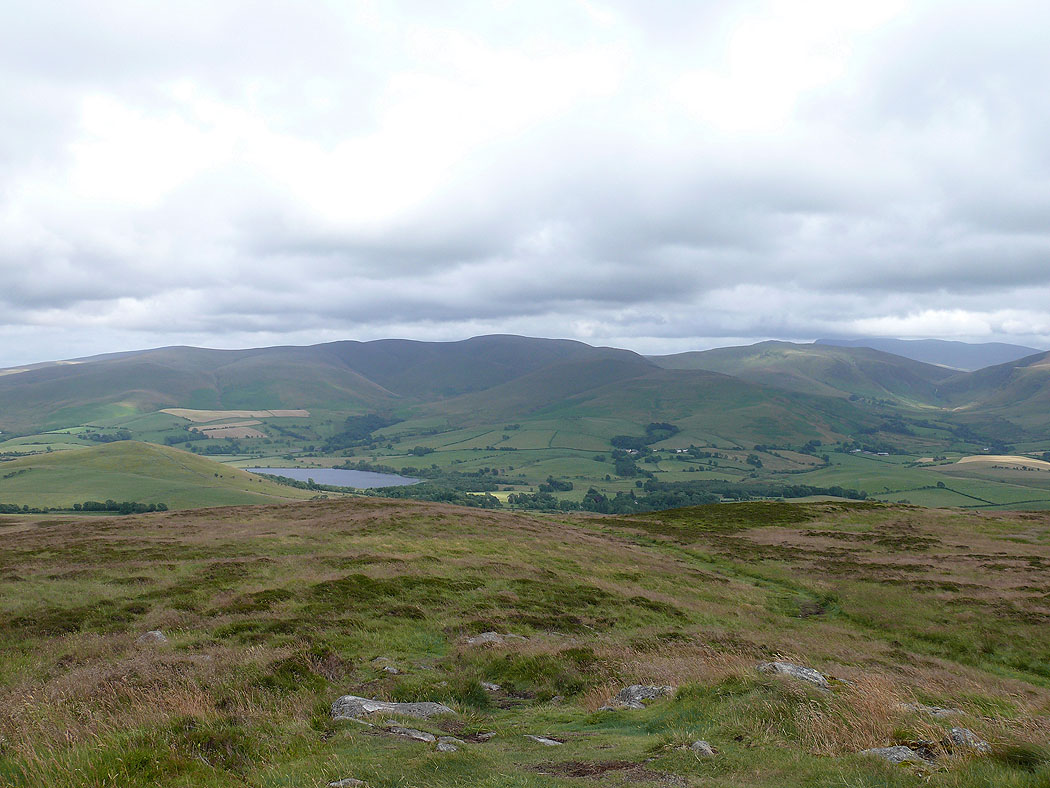
Binsey and Over Water from Meal Fell. After leaving Longlands Fell the cloud came down and the rain set in. I'd made to Meal Fell before things improved.
Lowthwaite Fell from Meal Fell
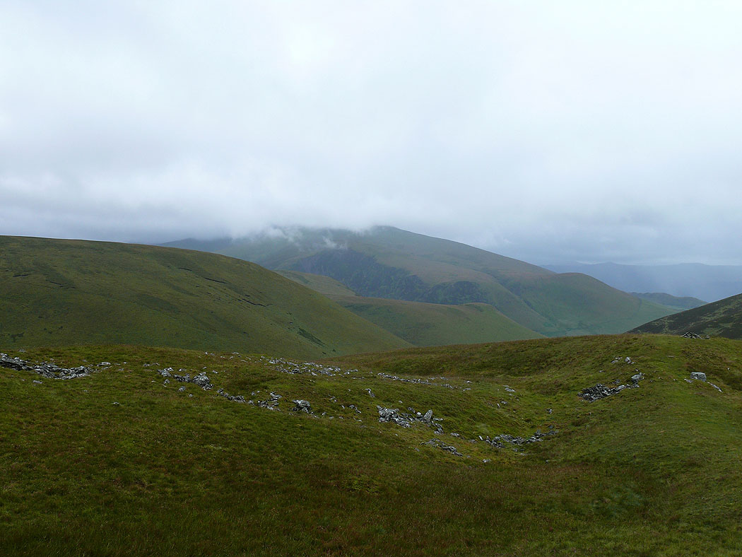
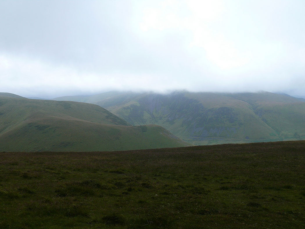
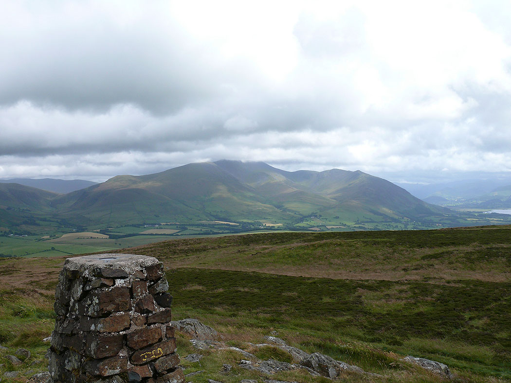
Skiddaw in cloud
On Great Cockup looking across to Dead Crags
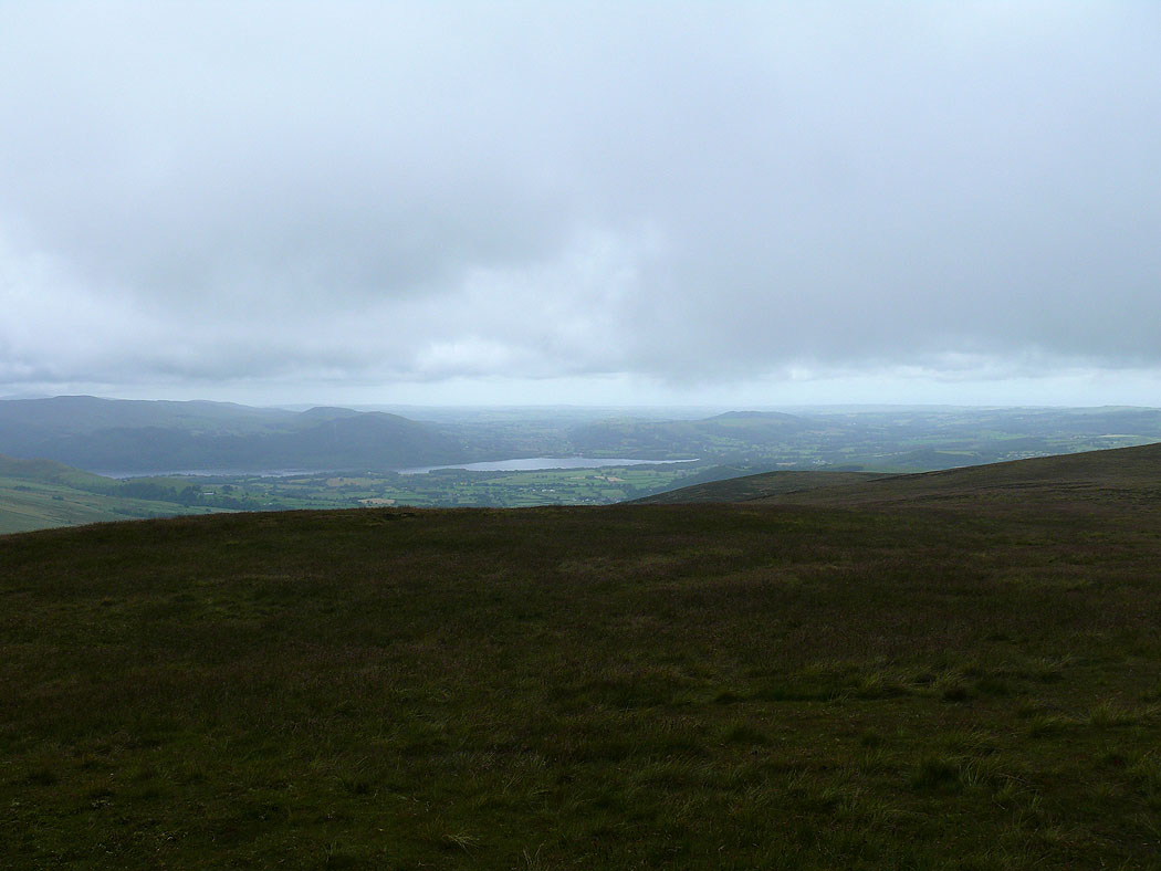
A glimpse of Bassenthwaite Lake
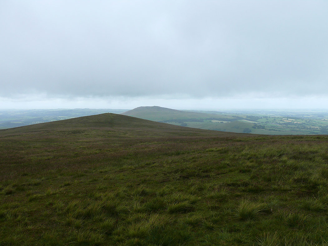
Looking across the summit to Binsey
and back to Meal Fell
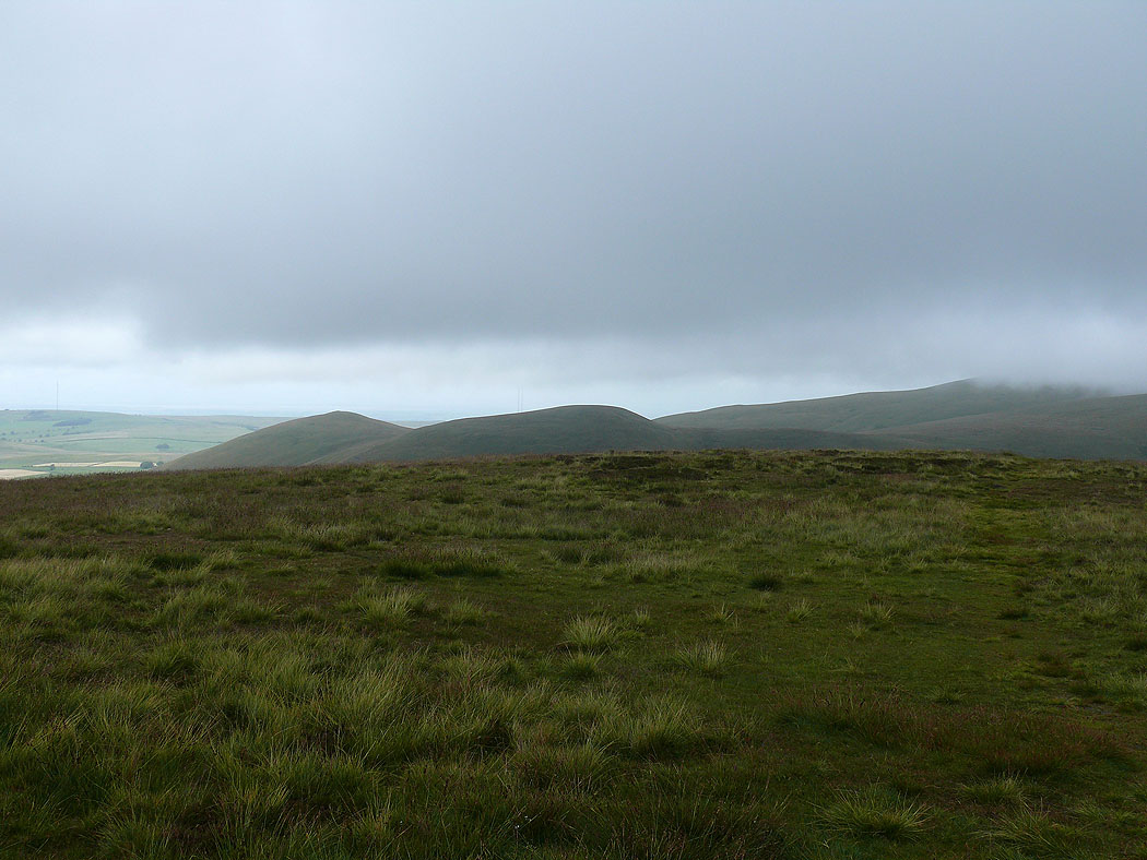
Longlands Fell and Lowthwaite Fell
Finally on the summit of Binsey and it's brightened up and the cloud has cleared from the Uldale fells
The Ullock Pike ridge, Bassenthwaite Lake and the northwestern fells
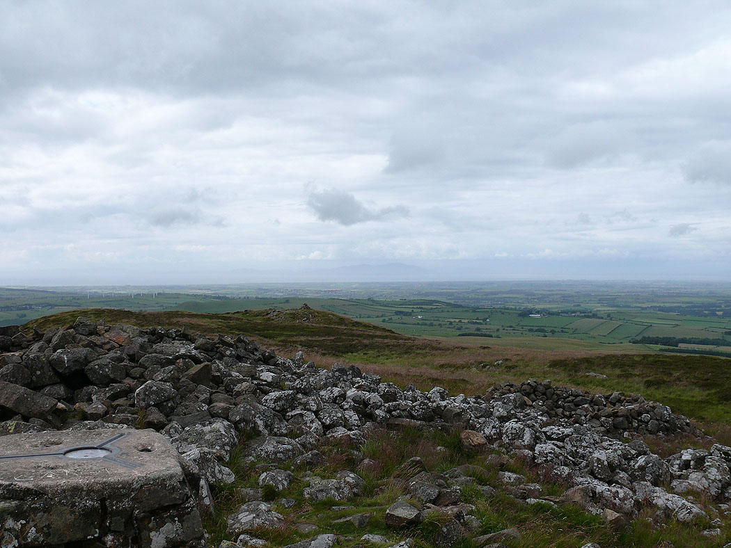
Across the summit to the Solway Firth
Skiddaw from Binsey