12th July 2014 - The Hodder & the Ribble
Walk Details
Distance walked: 8.6 miles
Total ascent: 920 ft
OS map used: 287 - West Pennine Moors & OL41 - Forest of Bowland & Ribblesdale
Time taken: 5 hrs
Route description: Higher Hodder Bridge-Hodder Place-Lower Hodder Bridge-Ribble Way-Hurst Green-Stonyhurst College-Throstle Nest Farm-Birdy Brow-Higher Hodder Bridge
After enjoying a walk by the Ribble just a couple of weeks ago I thought I'd pay it another visit today with the stretch of the river upstream from last time and the Hodder above its confluence with the Ribble walked. A perfect walk for these warm summer days we're having.
I started the walk from Higher Hodder Bridge, a few cars can be parked by the road on its eastern side. I crossed the bridge and then took the footpath that follows the river downstream to Lower Hodder Bridge. Here the riverside path ends and I continued on by following the Ribble Way up Whalley Road and then to Winckley Hall. Past Winckley Hall and the path takes to the bank of the Ribble all the way down to where I left it behind for the walk up into Hurst Green. After stopping for an ice-cream at the cafe in Hurst Green I continued on by crossing a few fields to Stonyhurst College. I walked through the college grounds and out to the road. After a short road walk I followed the path past Throstle Nest Farm to the road at Birdy Brow, which I then walked down to Higher Hodder Bridge.
Route map
© Crown copyright. All rights reserved. License number PU 100034184.
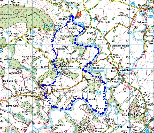
A couple of shots taken en route to Higher Hodder Bridge. Pendle Hill in the distance..
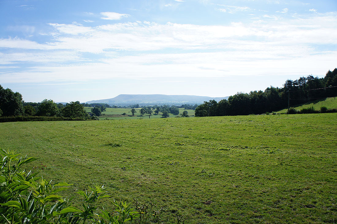
..and Bradhurst Barn near Lower Hodder Bridge
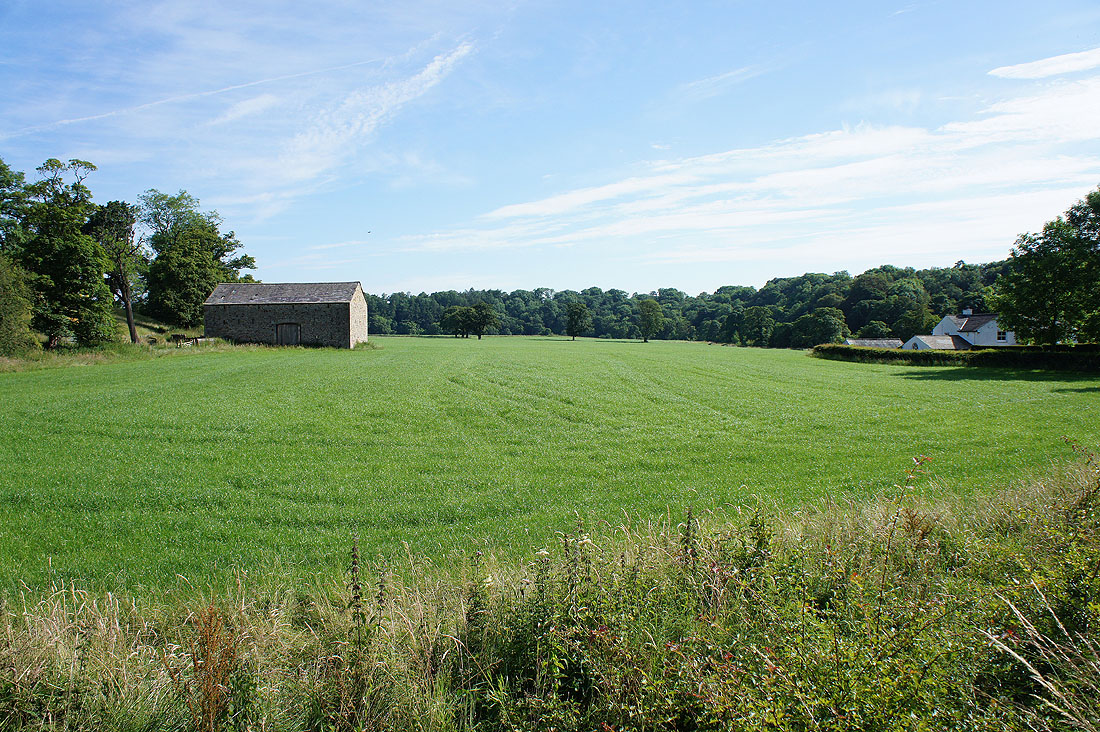
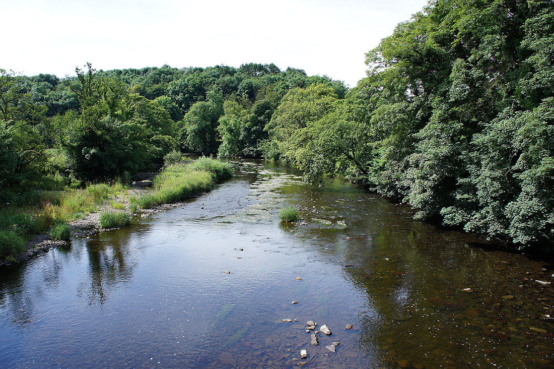
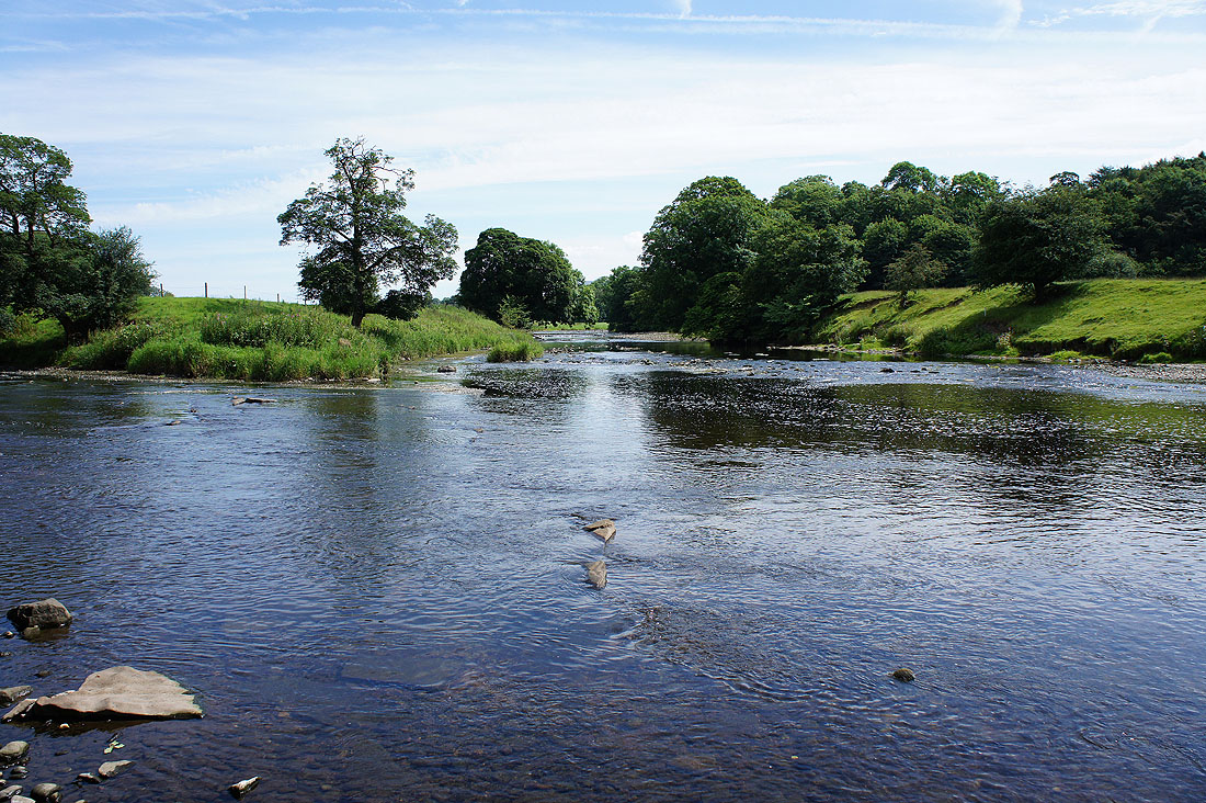
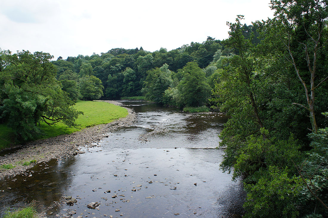
The River Hodder from Higher Hodder Bridge. This is where I'm starting from and I'll follow the riverside path downstream to Lower Hodder Bridge.
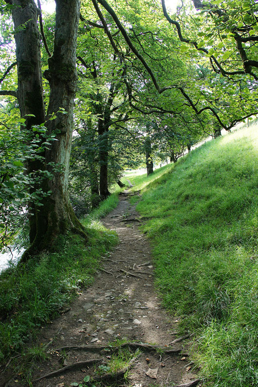
On the riverside path
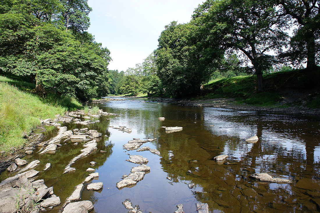
The River Hodder. I wouldn't be able to take these shots if the water level was more typical.
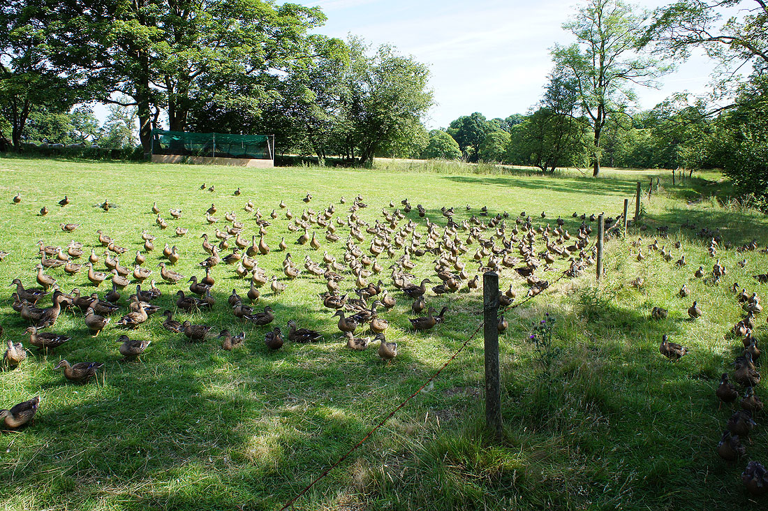
It would seem that I have some company. These ducks were being kept in a field next to the river and they must have thought that I'd come to feed them. Keen on following me, I set a brisk pace to leave them behind to much angry quacking.
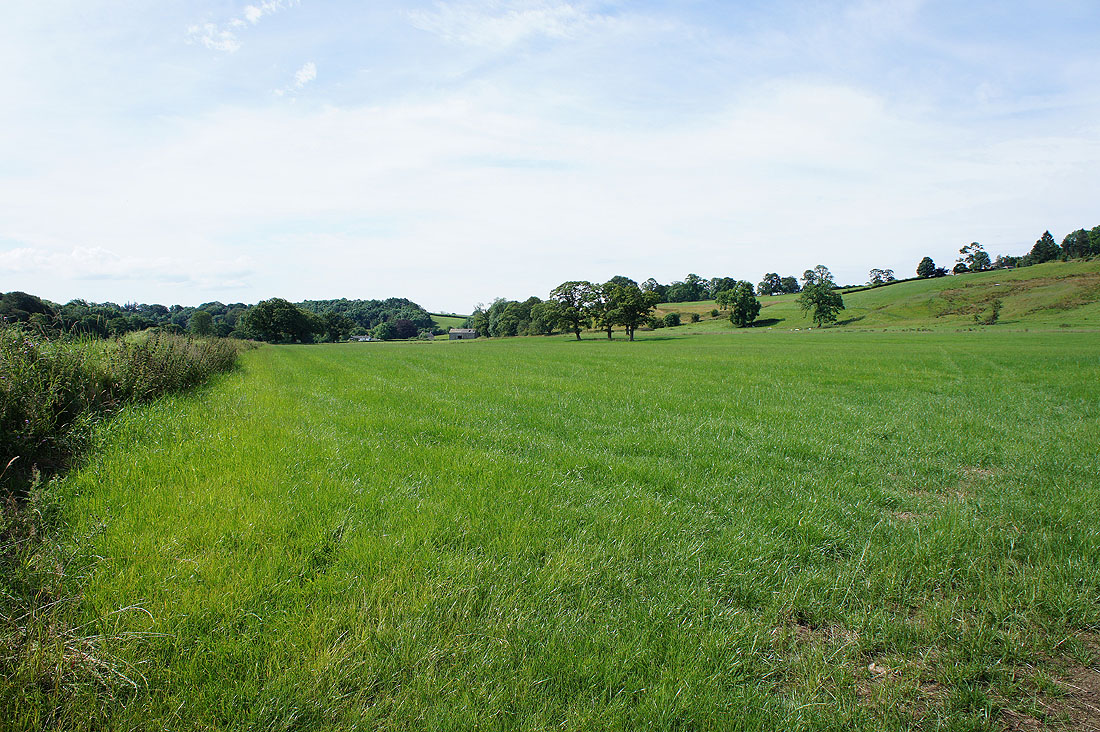
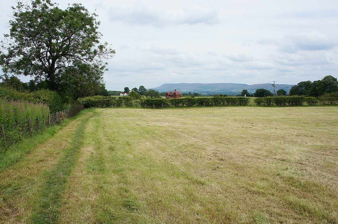
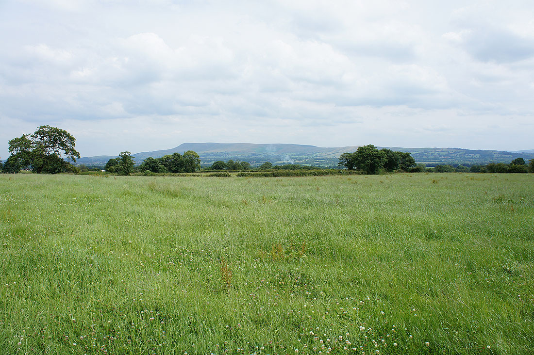
A fine summers morning in the Lancashire countryside..
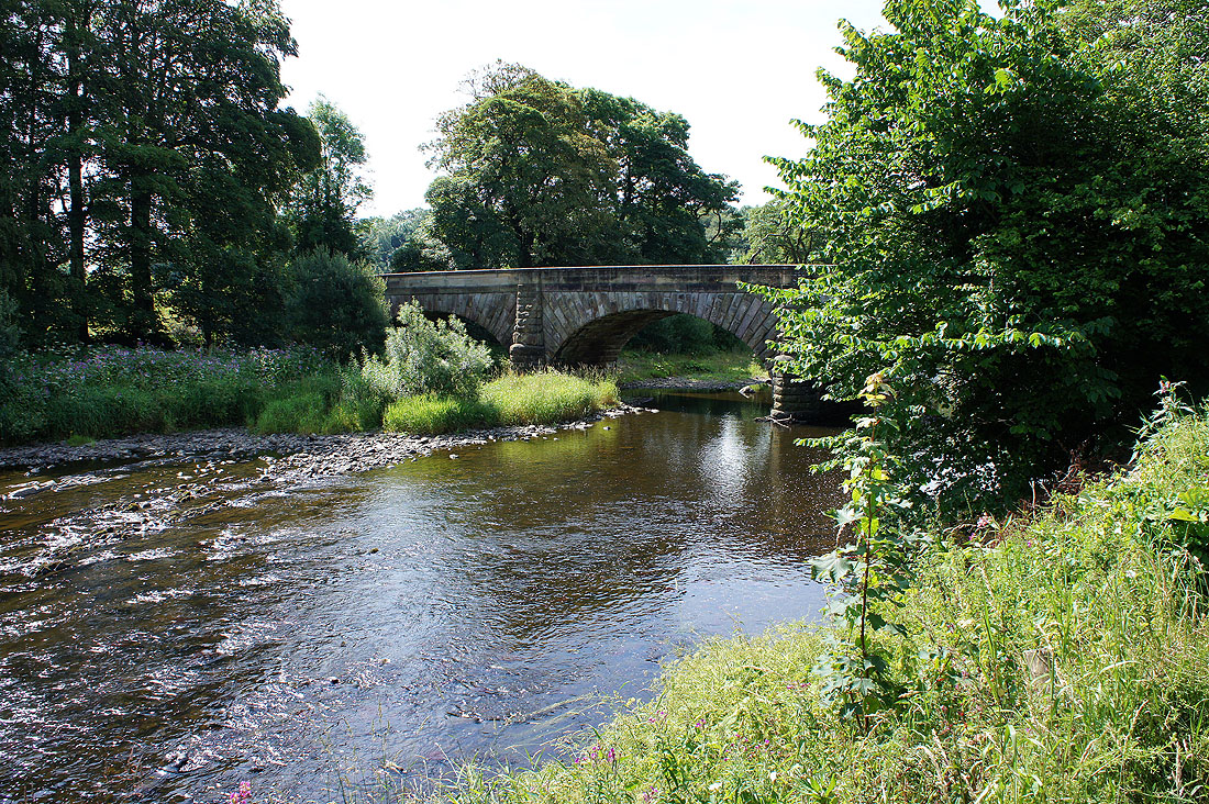
Arrival at Lower Hodder Bridge
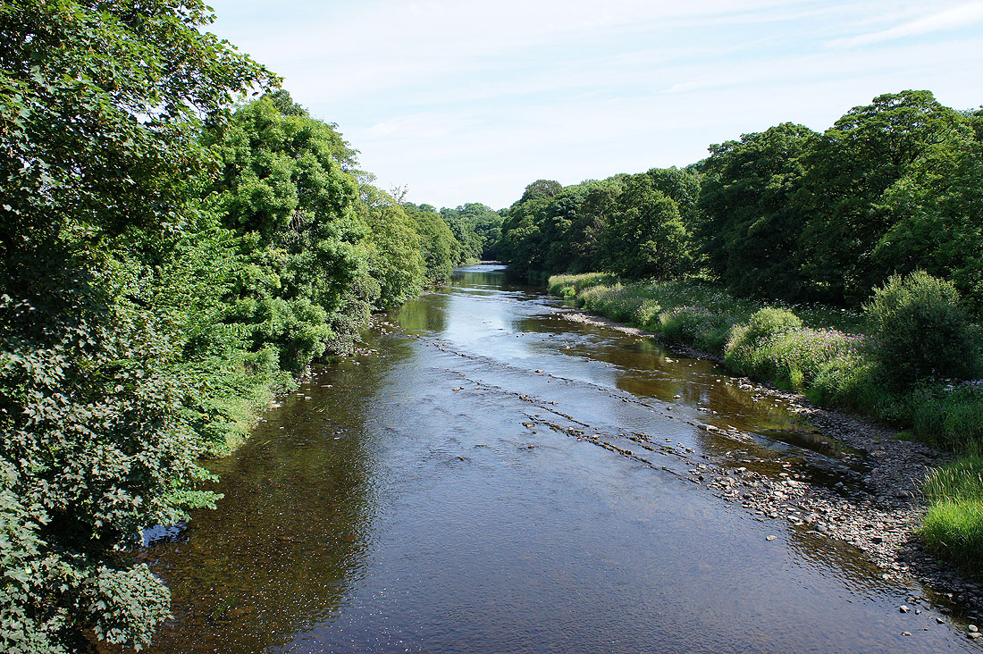
Looking upstream from Lower Hodder Bridge
and downstream
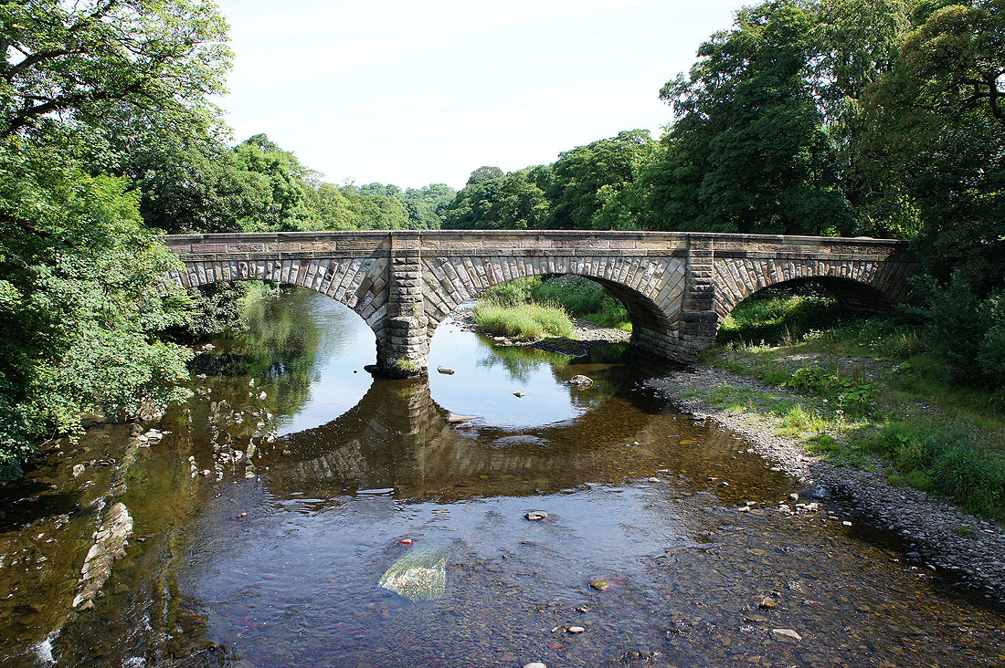
Lower Hodder Bridge. If I'm looking at the bridge from this side what am I stood on?
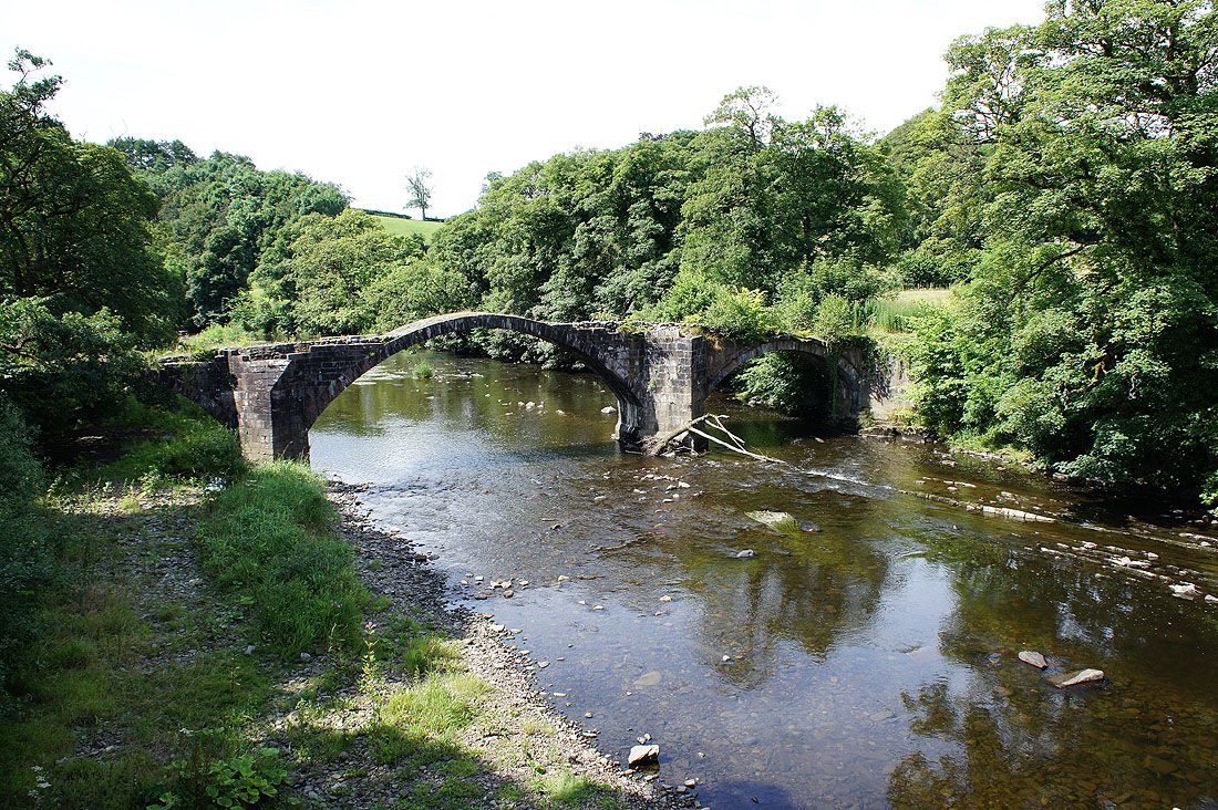
It's marked on the OS map as "Old Bridge" but it's known as Cromwell's Bridge, as he came this way prior to the Battle of Preston in 1648. It was built in the 16th century by the local Shireburn family.
On the Ribble Way to Winckley Hall
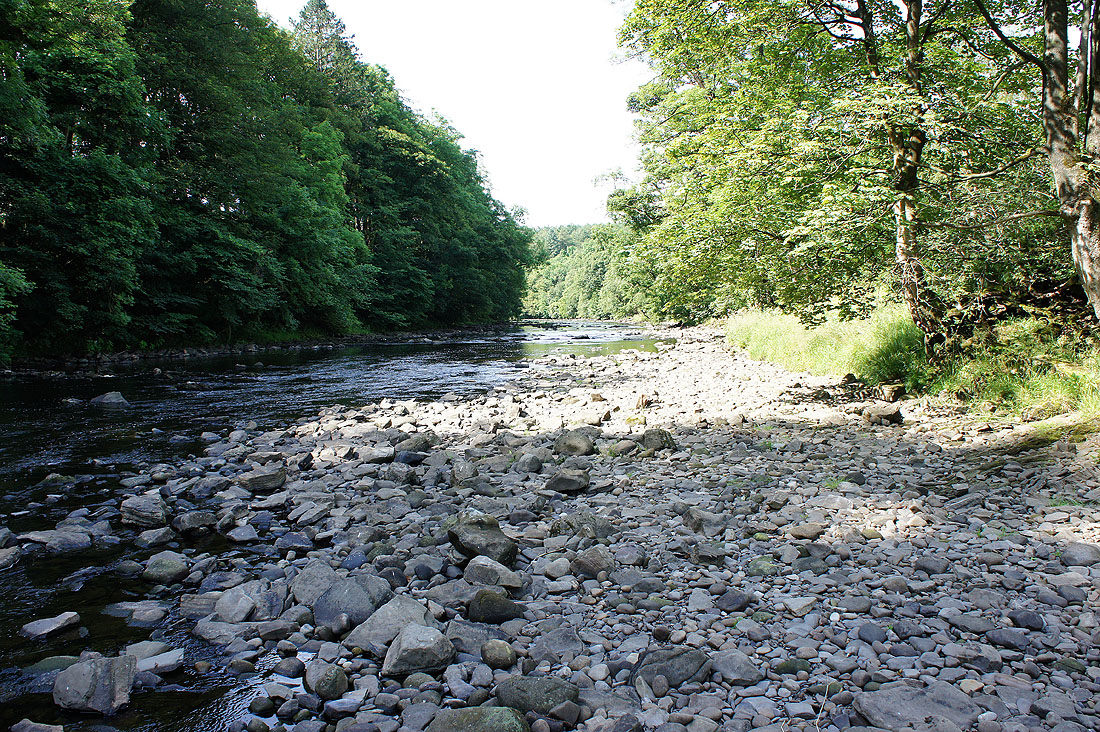
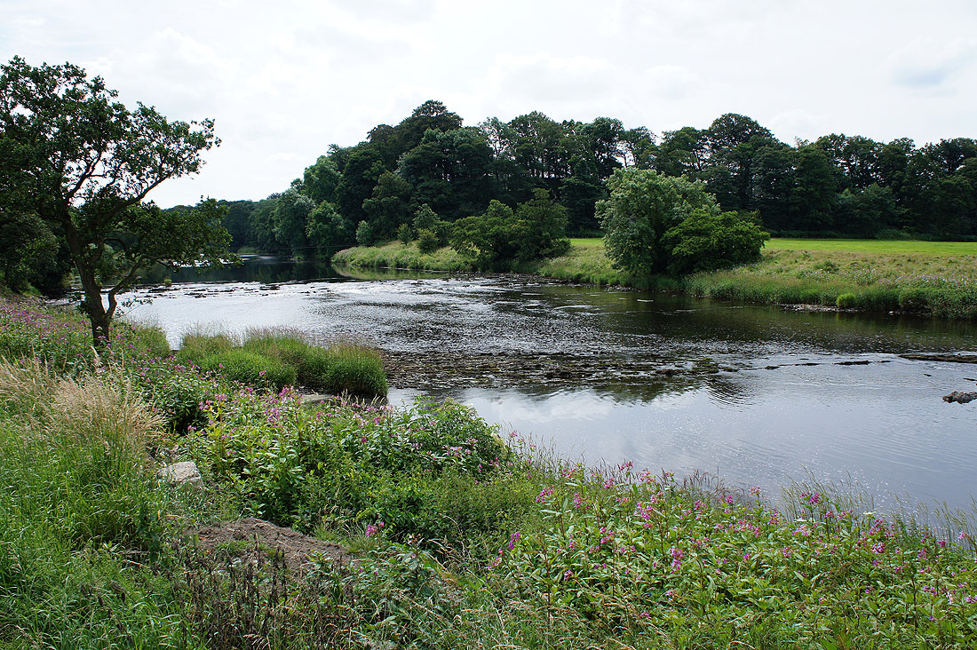
At the riverside again where the rivers Hodder and Ribble meet
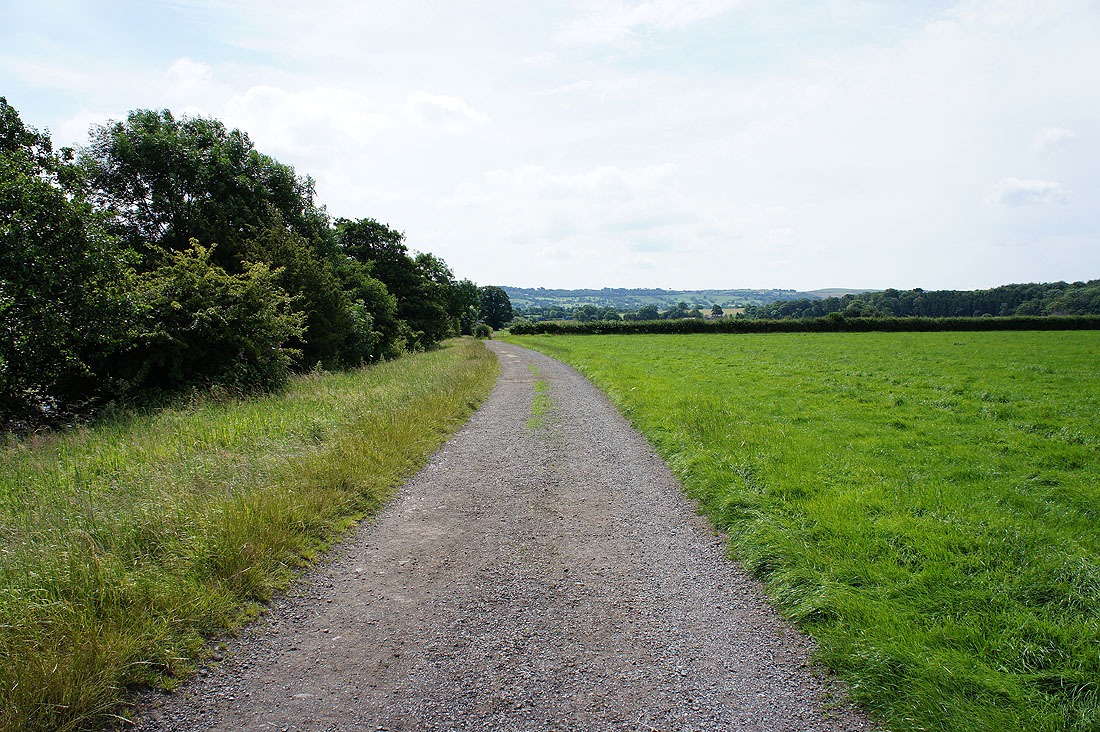
On the Ribble Way..
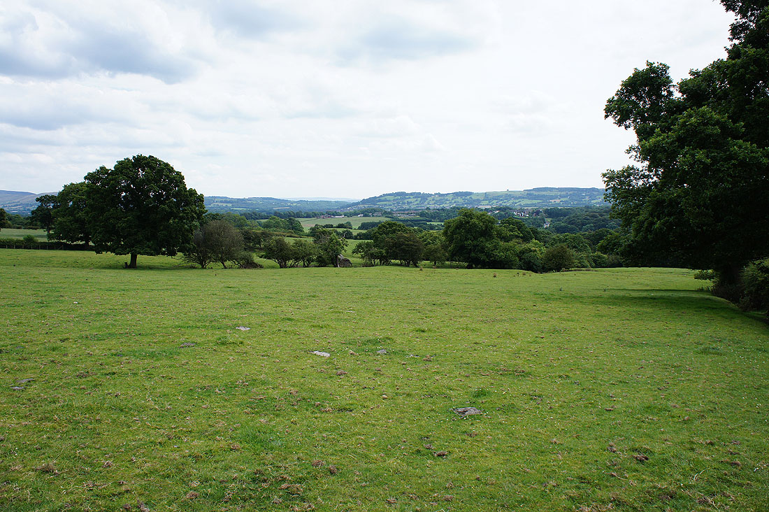
Longridge Fell visible in the distance
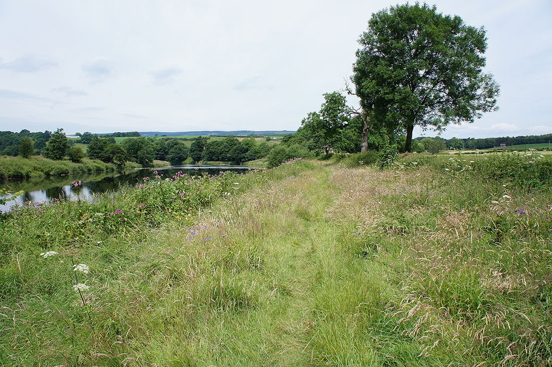
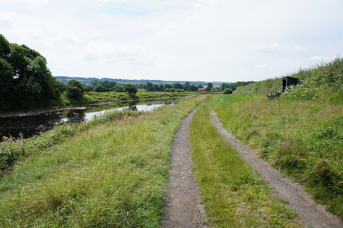
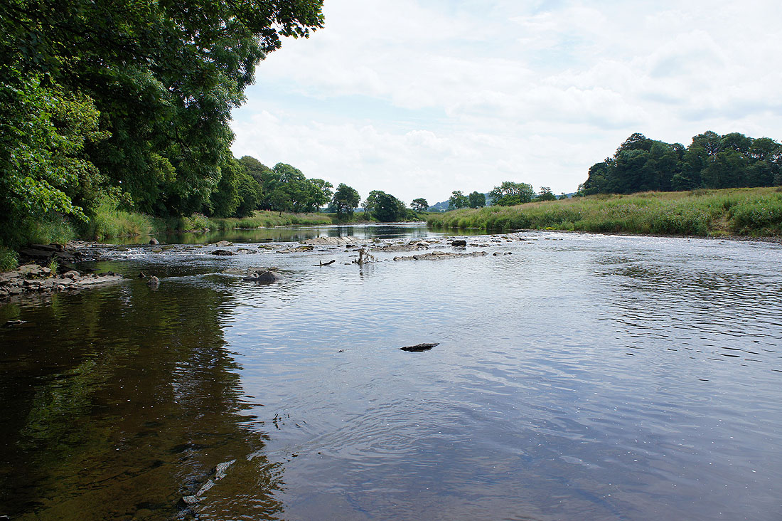
More delightful riverside scenery by the banks of the Ribble...
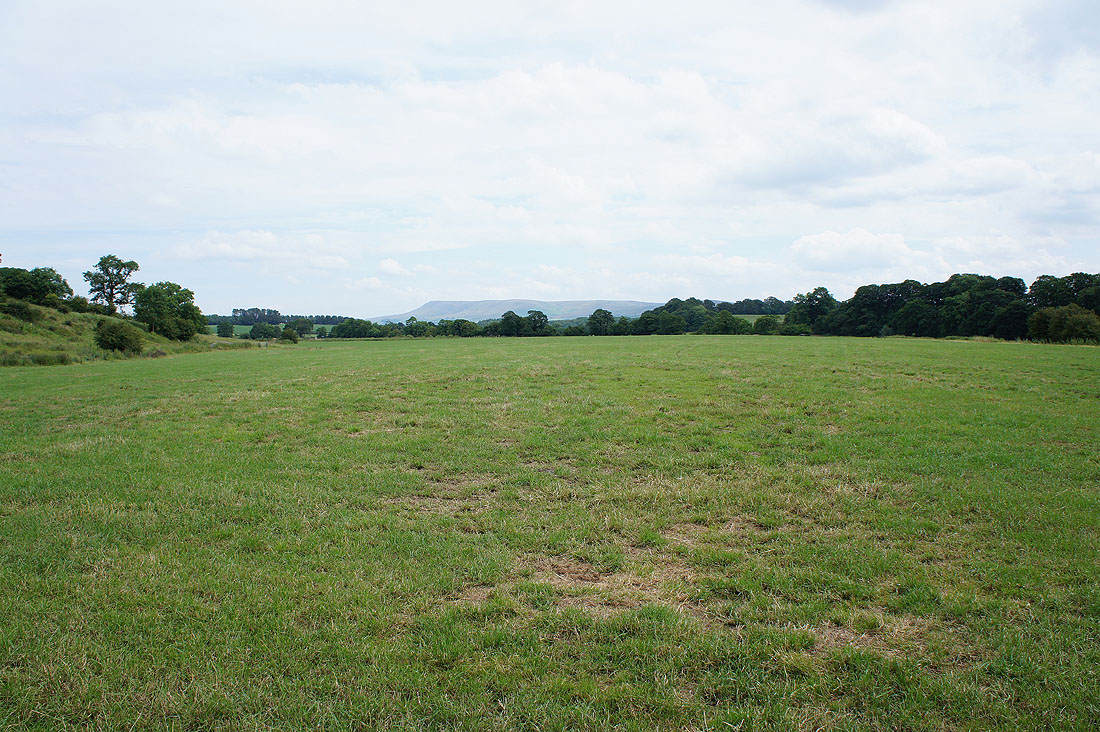
Pendle Hill puts in an appearance
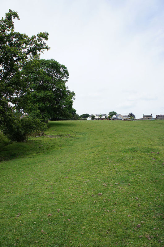
Heading up into Hurst Green
Looking back on the Ribble valley
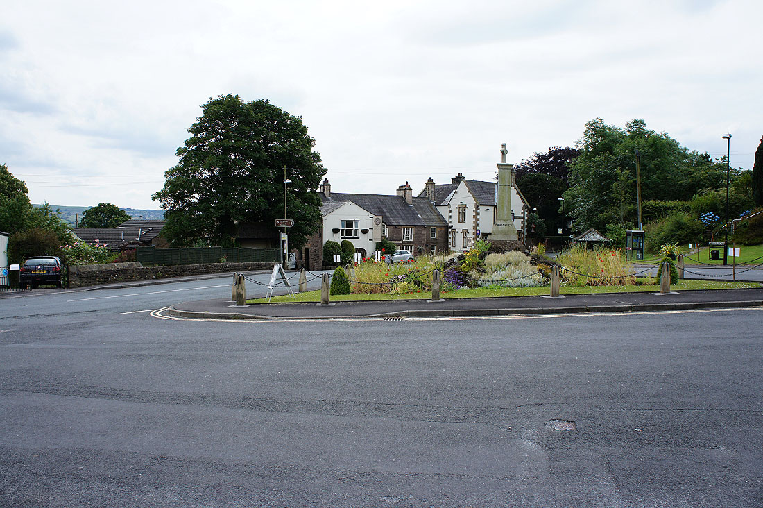
The war memorial and village green in Hurst Green. After enjoying an ice-cream from the cafe here I'm continuing on my walk back to Higher Hodder Bridge.
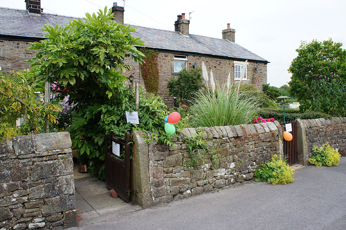
Many of the residents in Hurst Green have opened their gardens to the public
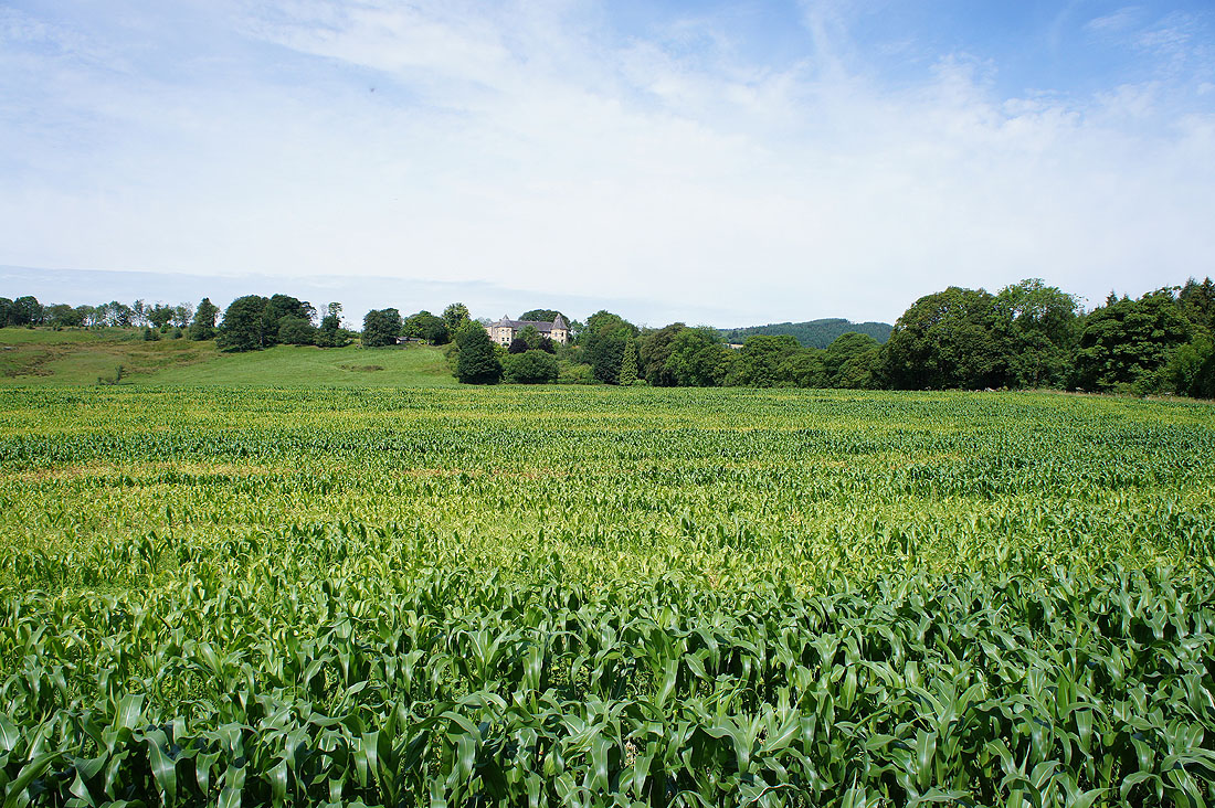
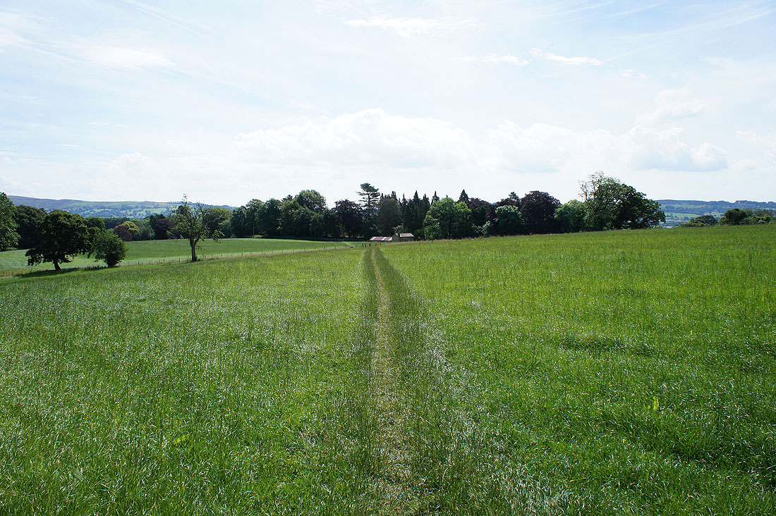
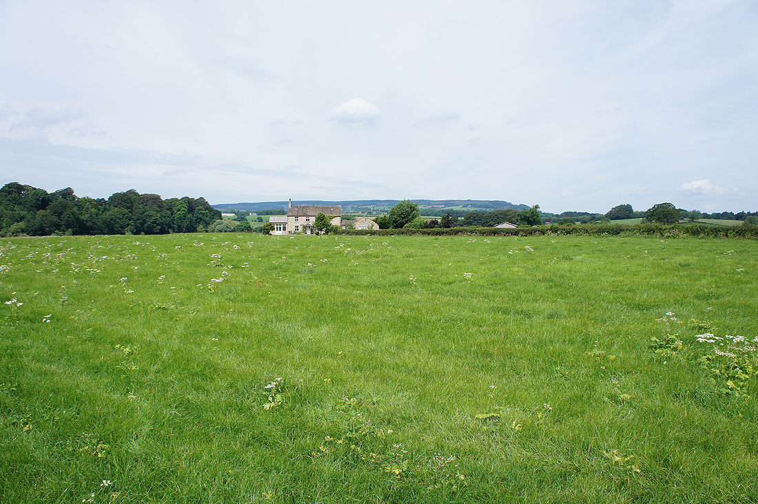
Crossing fields to reach Stonyhurst College
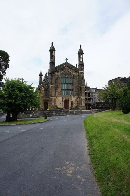
The public footpath goes through the grounds of the college passing the chapel and..
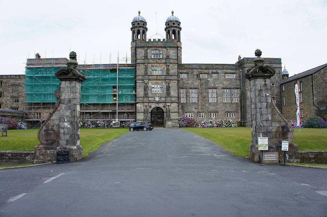
..the main entrance
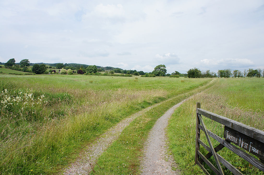
After a short road walk onto the driveway for Throstle Nest Farm
Couldn't resist taking another shot of Pendle Hill
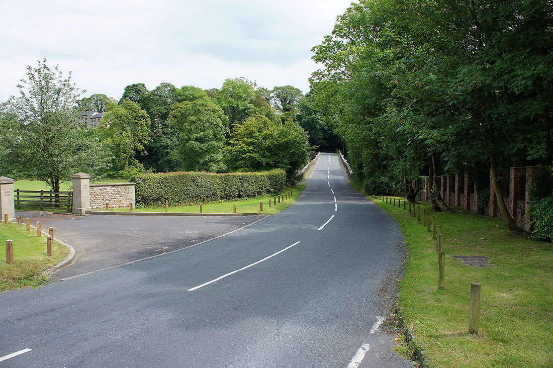
After walking down the road of Birdy Brow, Higher Hodder Bridge is just ahead. I'm parked on the other side.
A final shot looking down the Hodder