12th July 2015 - Cracken Edge, South Head & Eccles Pike
Walk Details
Distance walked: 8.8 miles
Total ascent: 2309 ft
OS map used: OL1 - The Peak District, Dark Peak area
Time taken: 6.5 hrs
Route description: Chinley-The Naze-Cracken Edge-Peep O Day Farm-A624-Pennine Bridleway-Mount Famine-South Head-Breckend-A624-Bridgeholm Green-Charley Lane-Laneside-Hallhill Farm-Eccles Pike-Eccles Fold-A6-Leaden Knowl-Chinley
For many of my recent walks in the Peak District I've driven through this area en route to somewhere else and I often thought that these hills were worth having a walk over, particularly South Head and Eccles Pike. So after having a look at the OS map and working out a route, I decided to do this walk from Chinley. There was a mixed bag of weather today, a couple of showers, a strong breeeze but during the second half of the afternoon more in the way of sunny spells.
After parking discreetly on Stubbins Lane in Chinley I walked past the war memorial and up Maynestone Road before taking the footpath up towards Cracken Edge. At the top I turned right and followed the track to the headland of The Naze and then the footpath up and along Cracken Edge, through the disused quarries and down to the bridleway at Peep-O-Day Farm. I then had a brief walk along the verge of the A624 to reach a bridleway which brought me to a crossroads of bridleways, where I turned right onto the Pennine Bridleway. As I passed under Mount Famine I left the bridleway at a convenient place to head up to its summit. Next stop was South Head, it didn't take long, back down to the Pennine Bridleway and up the other side to the summit of South Head. It was only when reached it that I knew that the next part of my route was possible. My map shows a concessionary path that only makes it part of the way up the south ridge of South Head. I was pleased to see waymarker discs showing that it left from the summit. So, after walking down the south ridge I turned left onto a public footpath that took me down to a farm and a lane. I then had a bit of unavoidable road walking to do, at least they were quiet. At the T-junction at Breckend I turned right, this lane went under a railway bridge and brought me to the A624. I took the footpath directly across the road which then went down through a couple of fields to Charley Lane in Bridgeholm Green. I followed Charley Lane under the A6 before taking a footpath on the left up to the road at Hallhill Farm, then across the road and up through fields to reach Eccles Road. It didn't take long walking up access land to reach the summit of Eccles Pike. After enjoying the view from the summit I made my way down access land to Eccles Fold, down the road and then down through a field to reach the A6. I crossed the dual-carriageway with care and then had a battle trying to make my way along the overgrown footpath on its other side to try and reach the track past the chemical works. Once onto the road I walked up to Leaden Knowl and towards Chinley to cross a footbridge over the railway line. A path through a wood and across a field and I was back on Stubbins Lane.
Route map
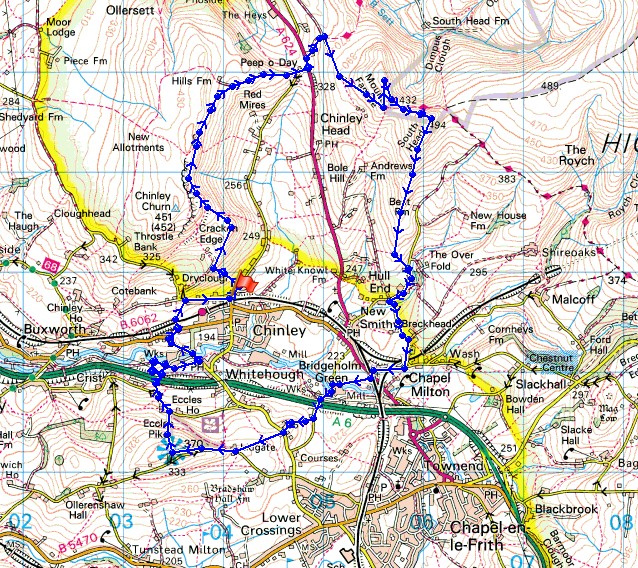
© Crown copyright. All rights reserved. License number PU 100034184.
The sun comes out over Eccles Pike and Chinley as I head up The Naze. Shame it didn't last for long.
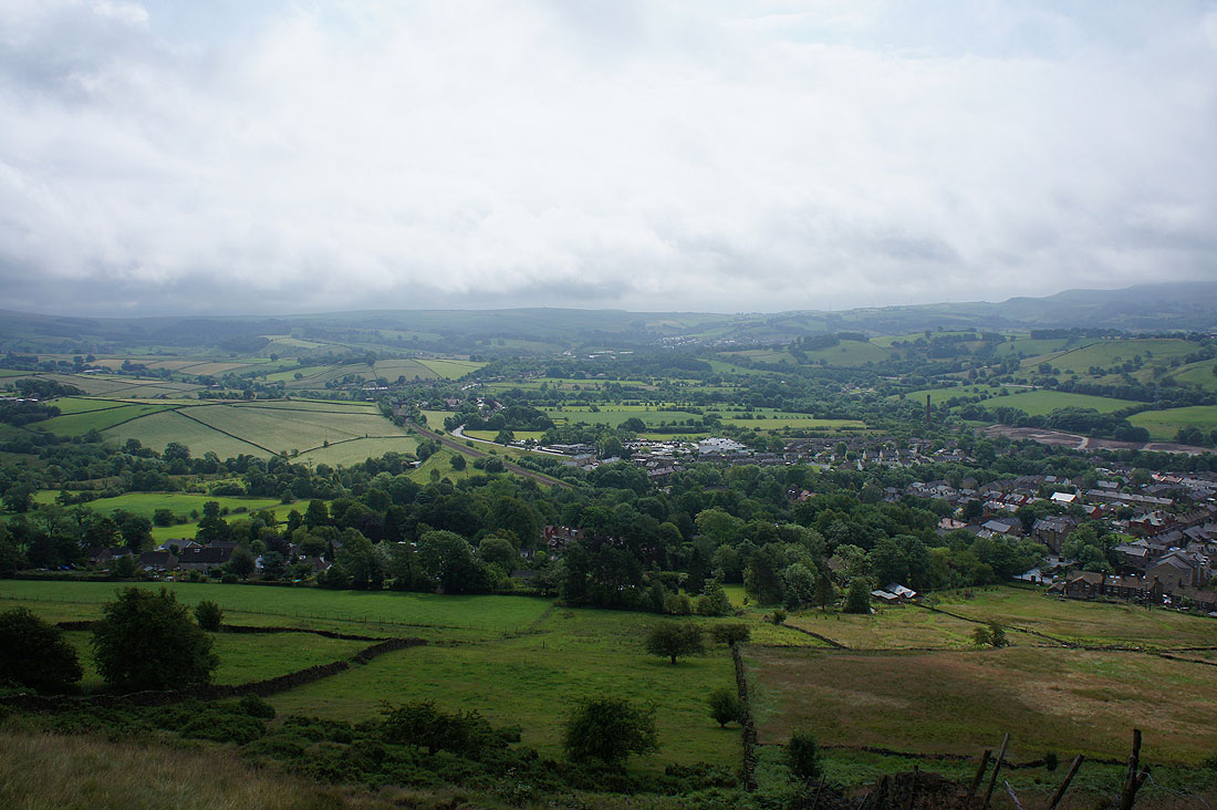
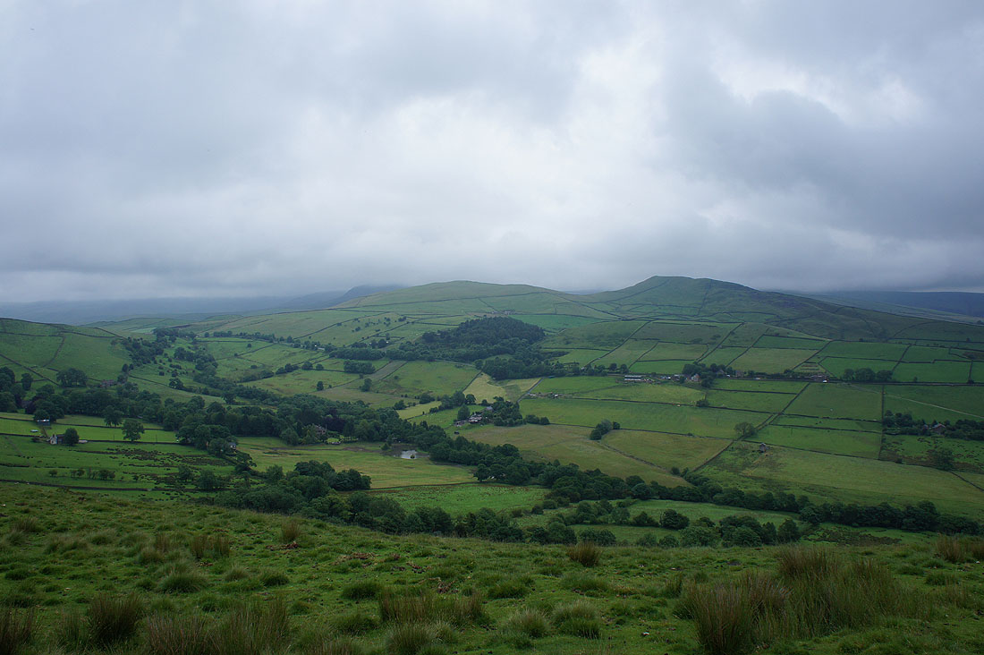
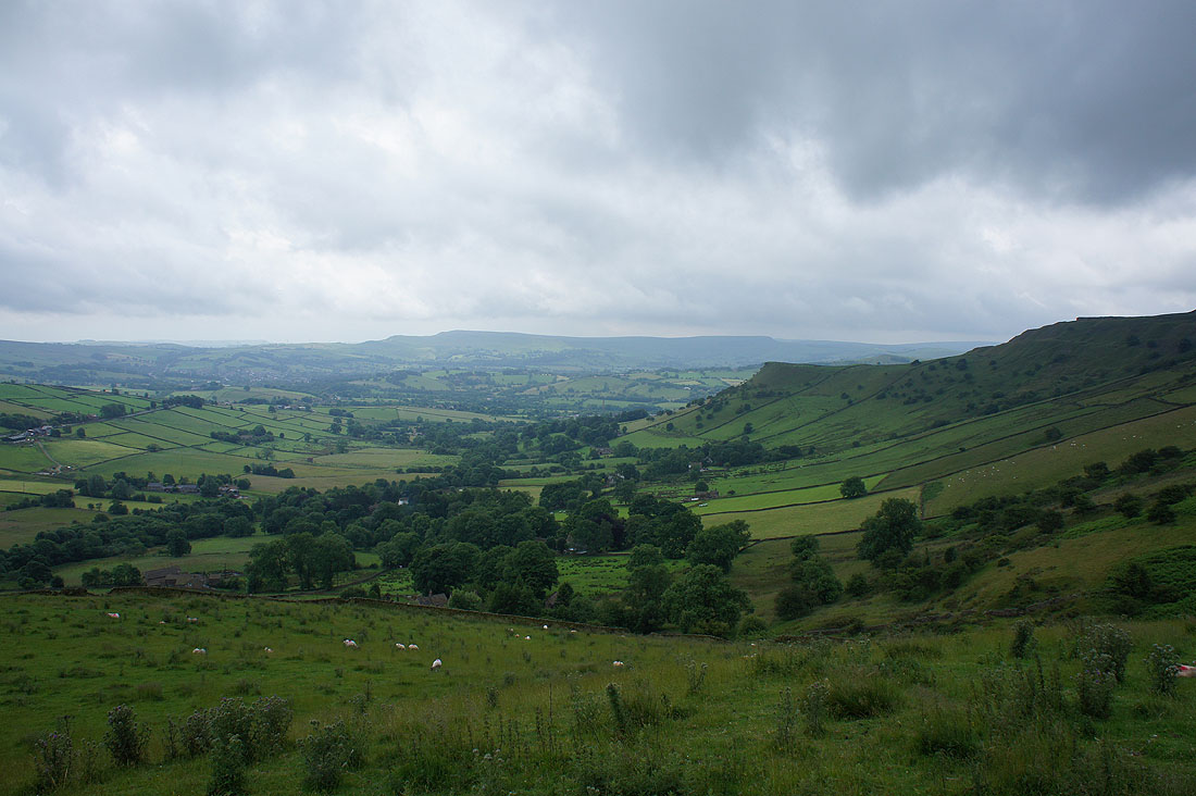
Looking towards Chapel-en-le-Frith
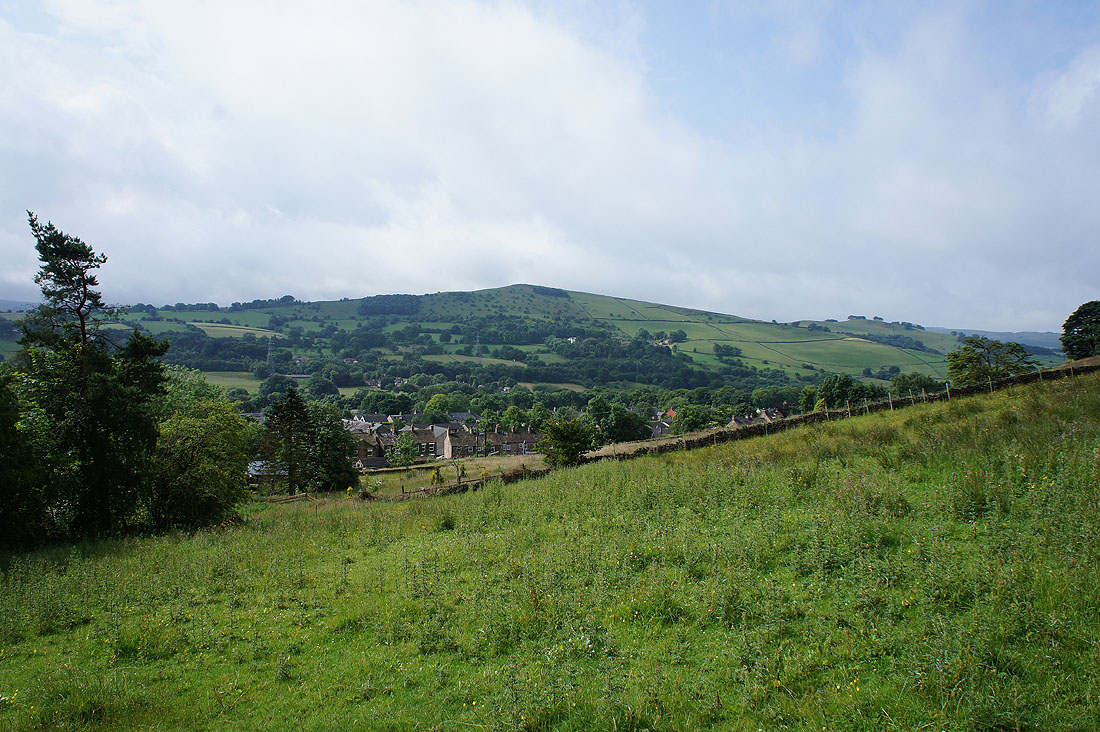
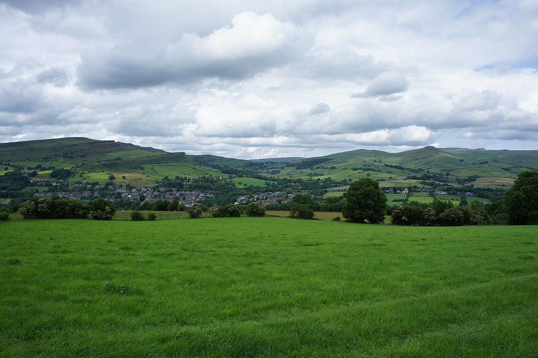
Chinley and Eccles Pike from The Naze
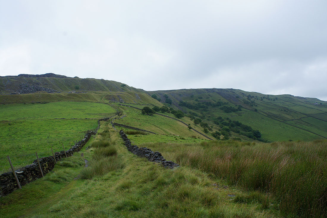
Heading for Cracken Edge and the rain has stopped
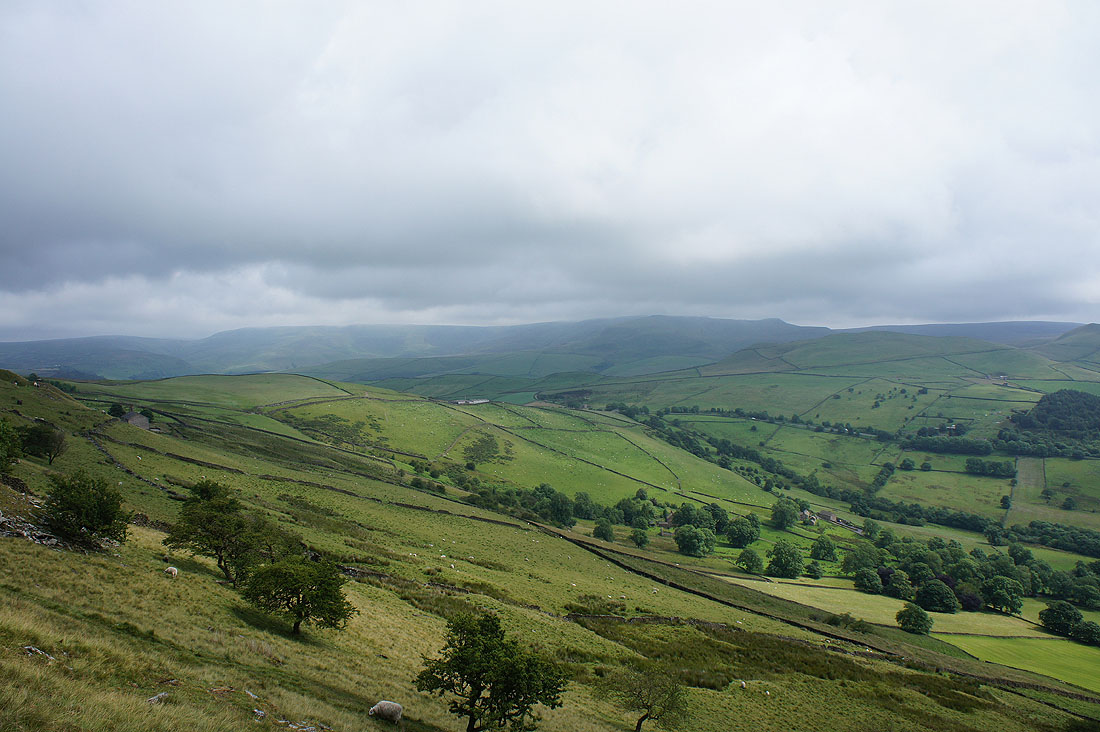
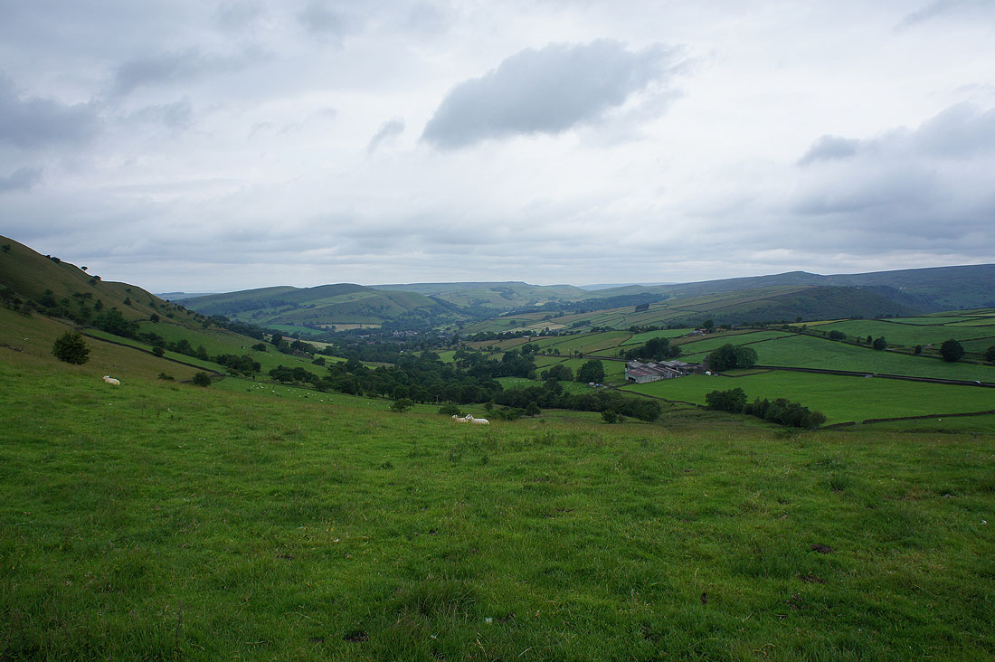
Mount Famine and South Head with Kinder Scout in cloud beyond
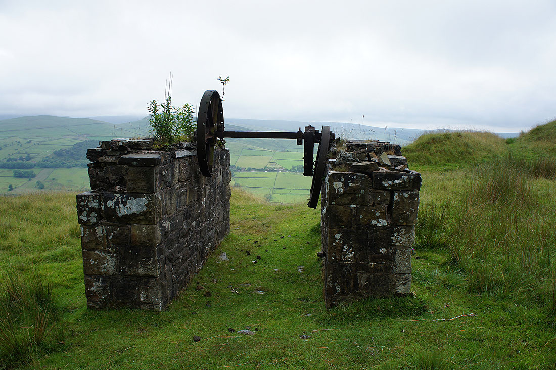
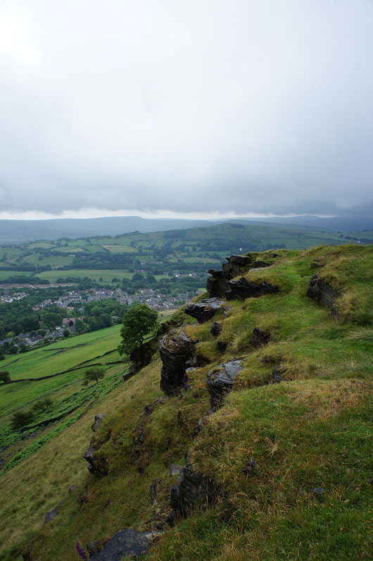
Plenty of evidence of the disused quarries on Cracken Edge, including the remains of a winch for lowering the rock into the valley below..
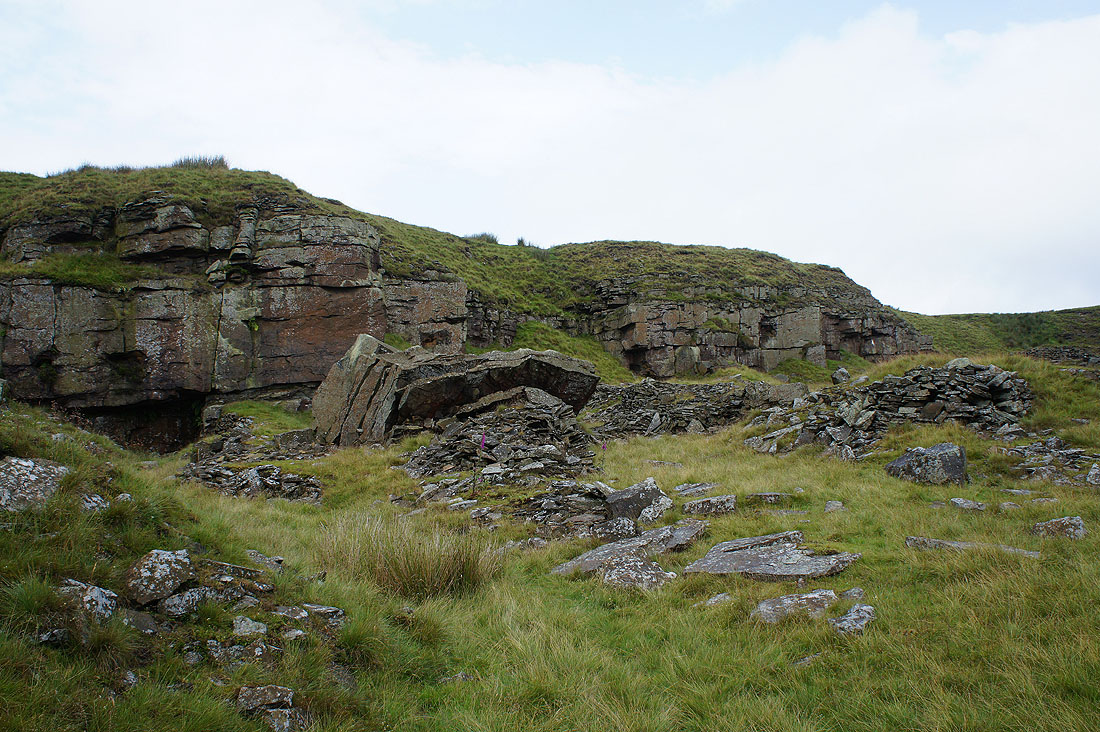
..and the face that was being worked
The cloud lifts off Kinder Scout as it brightens up
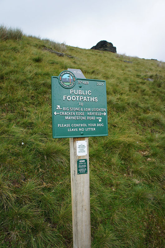
Peak & Northern Footpaths Society signs are a common sight around here
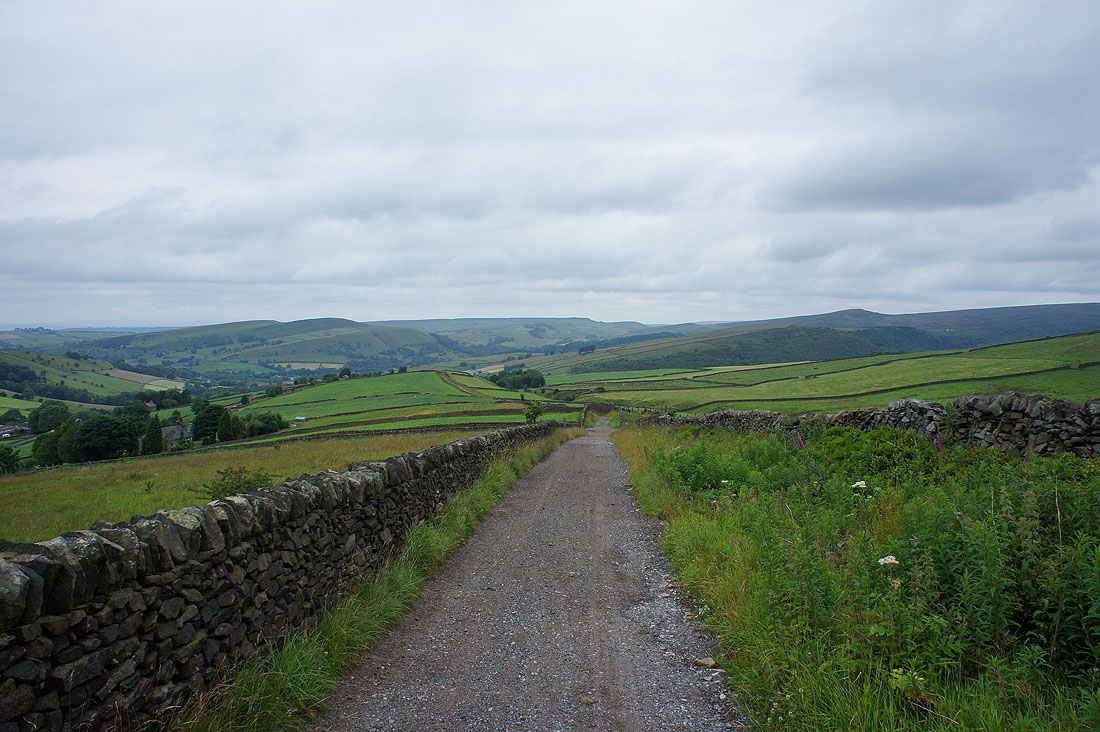
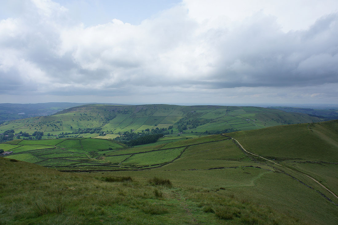
Looking past The Naze to Combs Edge
Mount Famine and South Head as I approach Peep-O-Day Farm and the A624
Lantern Pike and Hayfield comes into view on my left
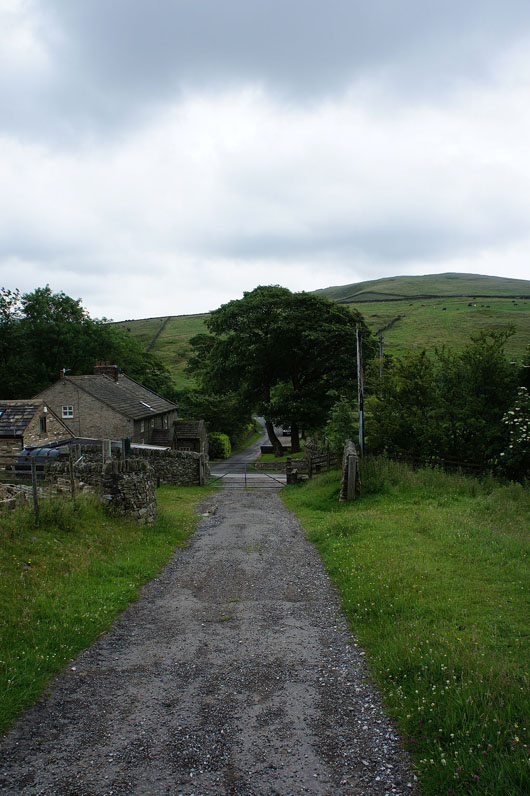
Peep-O-Day Farm
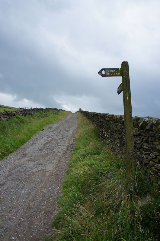
Across the A624 and onto the Pennine Bridleway
I liked this view looking back to Lantern Pike and the moors around Hayfield
Another shower blew through on my way up to the summit of Mount Famine. The sun is out again as I look across to South Head.
Hayfield and the Sett valley below
Kinderlow End and Swine's Back
Combs Edge and Shining Tor in the distance
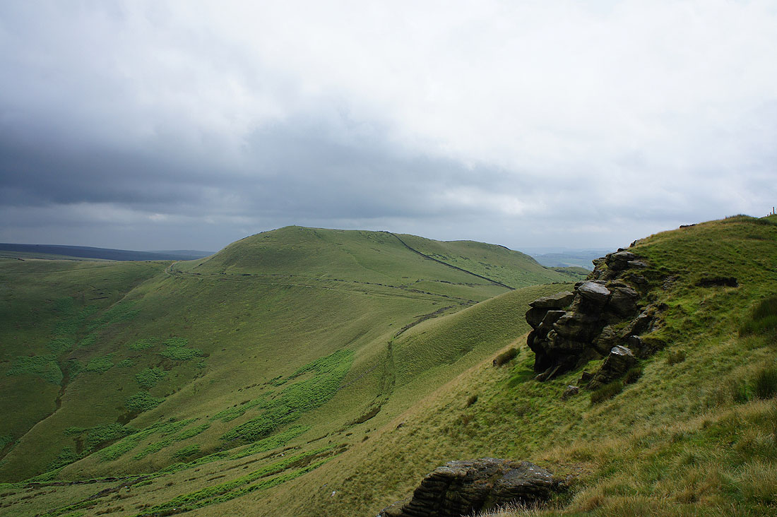
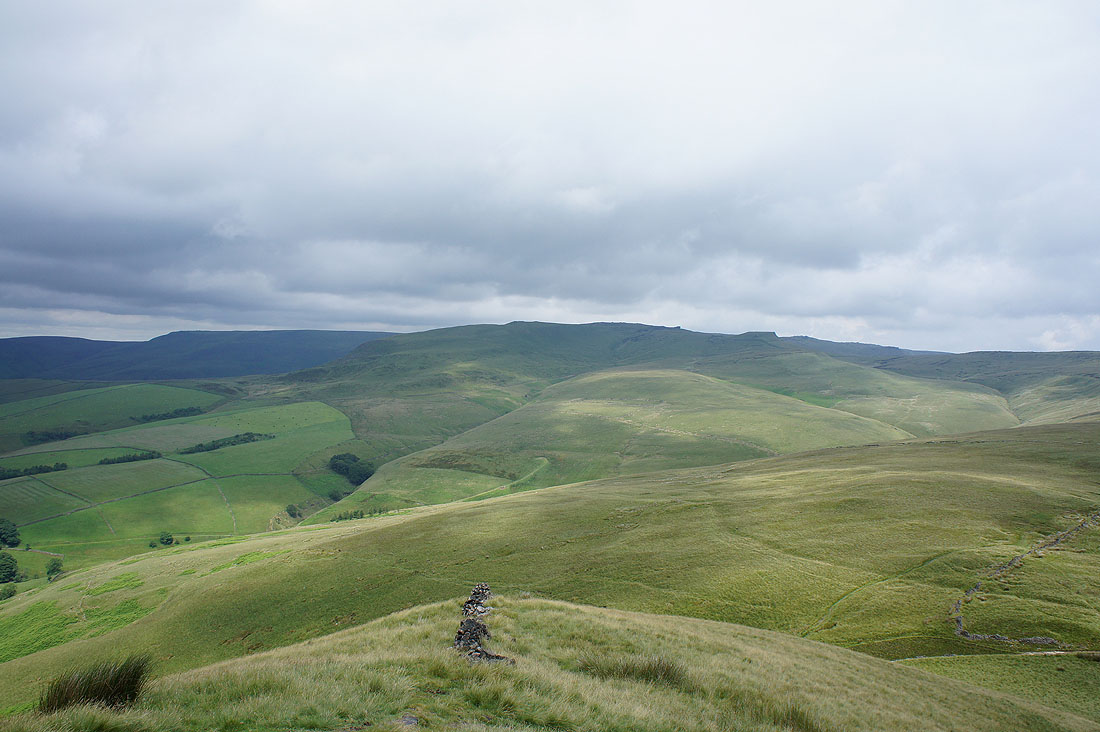
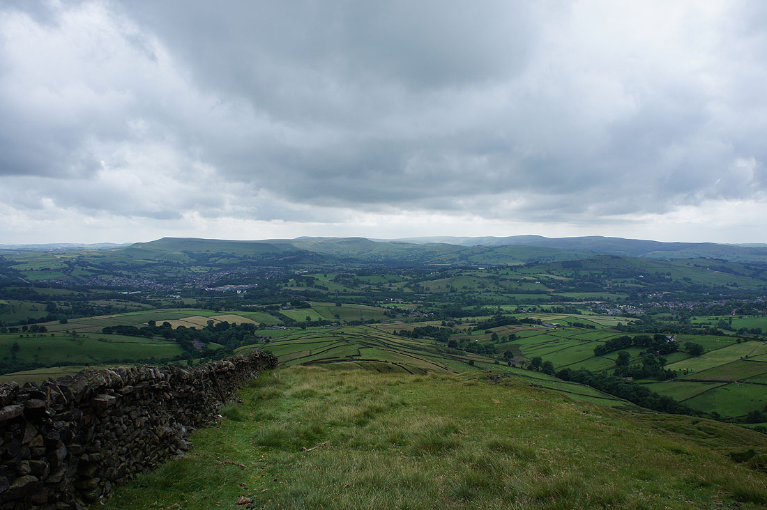
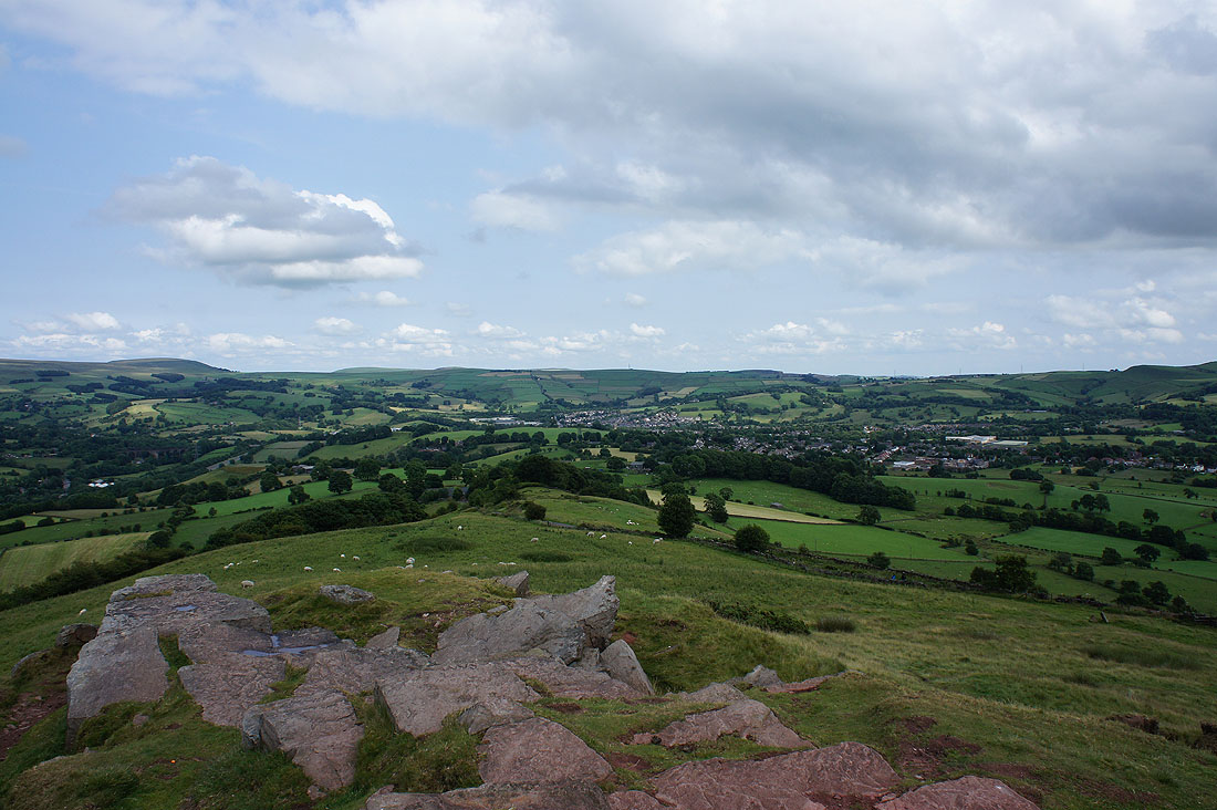
Chinley Churn and Cracken Edge as I reach the summit of South Head
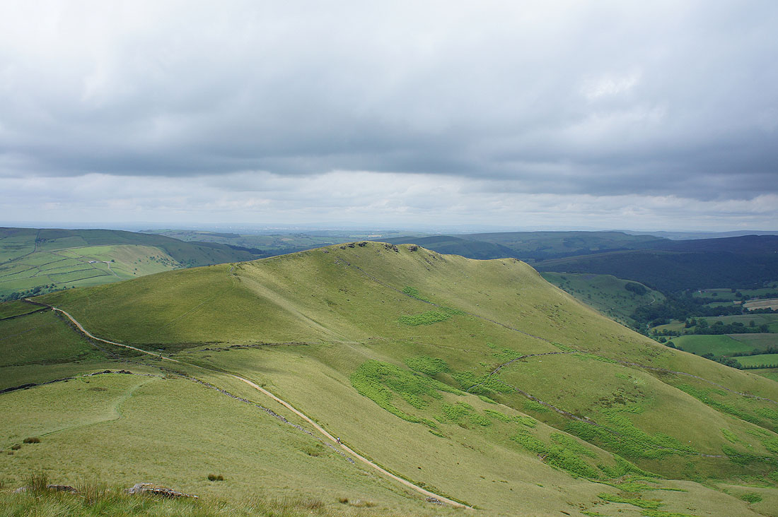
Mount Famine. That's the Pennine Bridleway below as it passes through the gap between the two hills.
The western end of Kinder Scout, Kinderlow End and Swine's Back
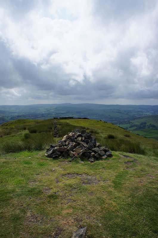
The cairn on the summit of South Head and my route lies straight ahead, down the south ridge. Now that I'm up here I could confirm that there is a concessionary path connecting access land with a public footpath lower down.
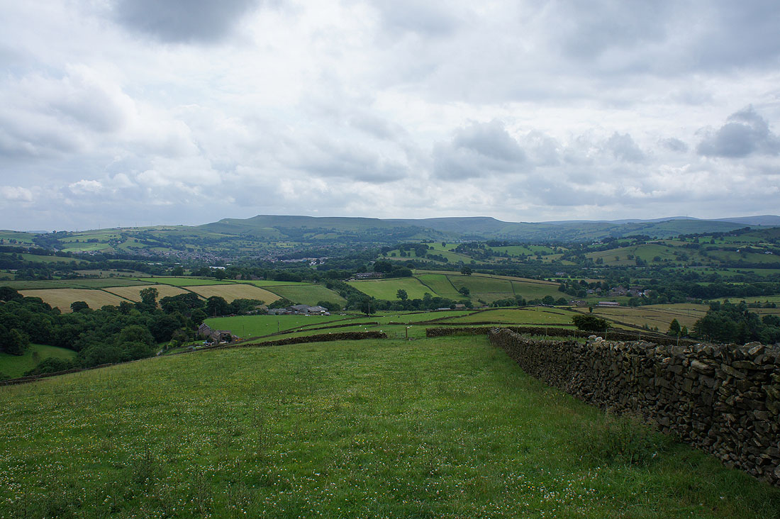
Good views of Combs Edge and Chapel-en-le-Frith as I head down..
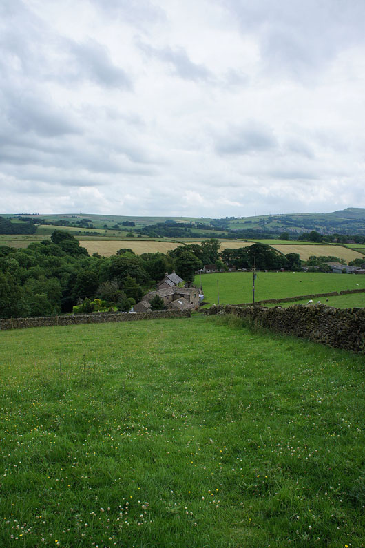
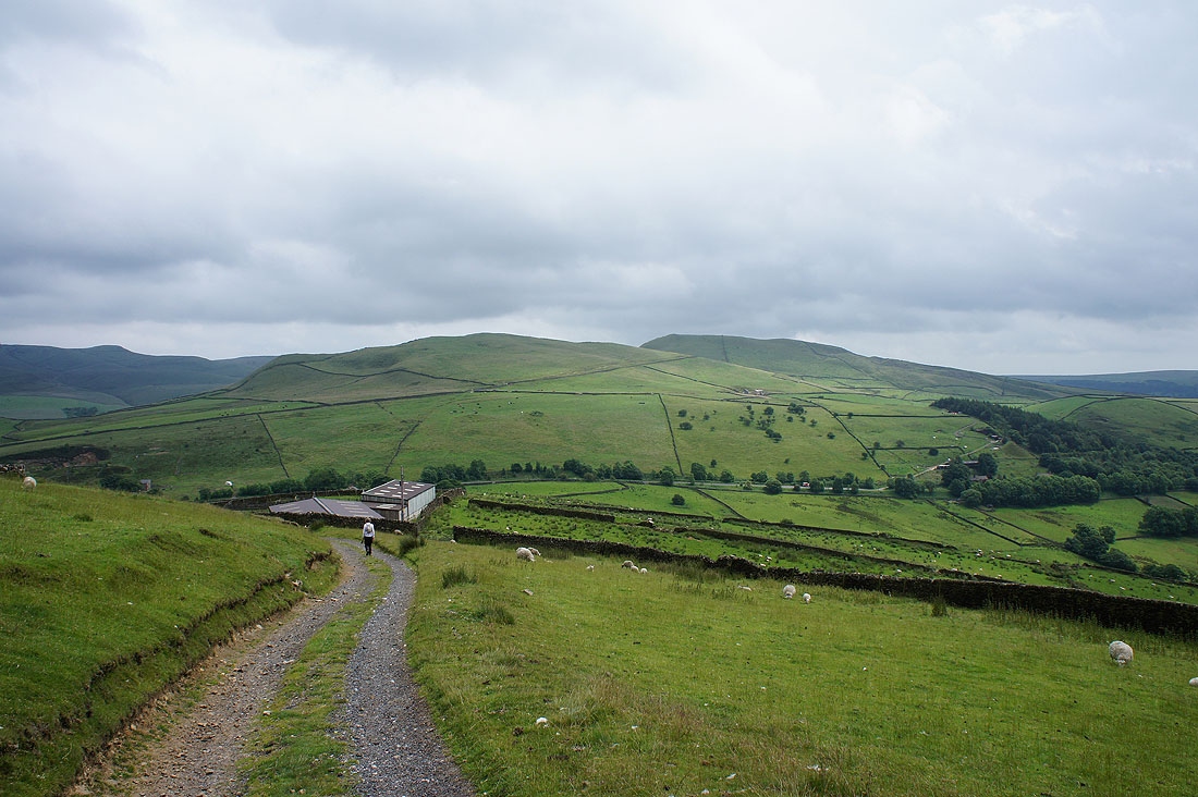
At the bottom of the concessionary path I turned left to reach a farm and lane

A view of South Head as I follow the lane to Breckend
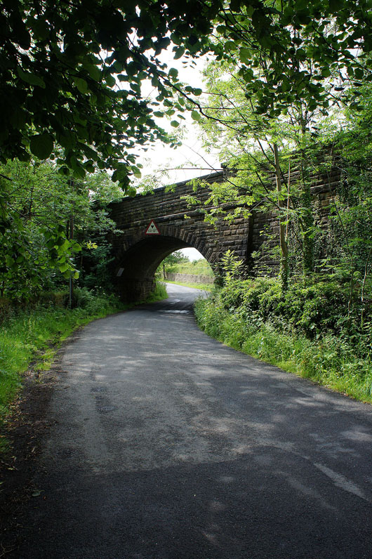
The lane then passed under the railway line that goes through the Gowburn Tunnel to Edale before reaching the A624
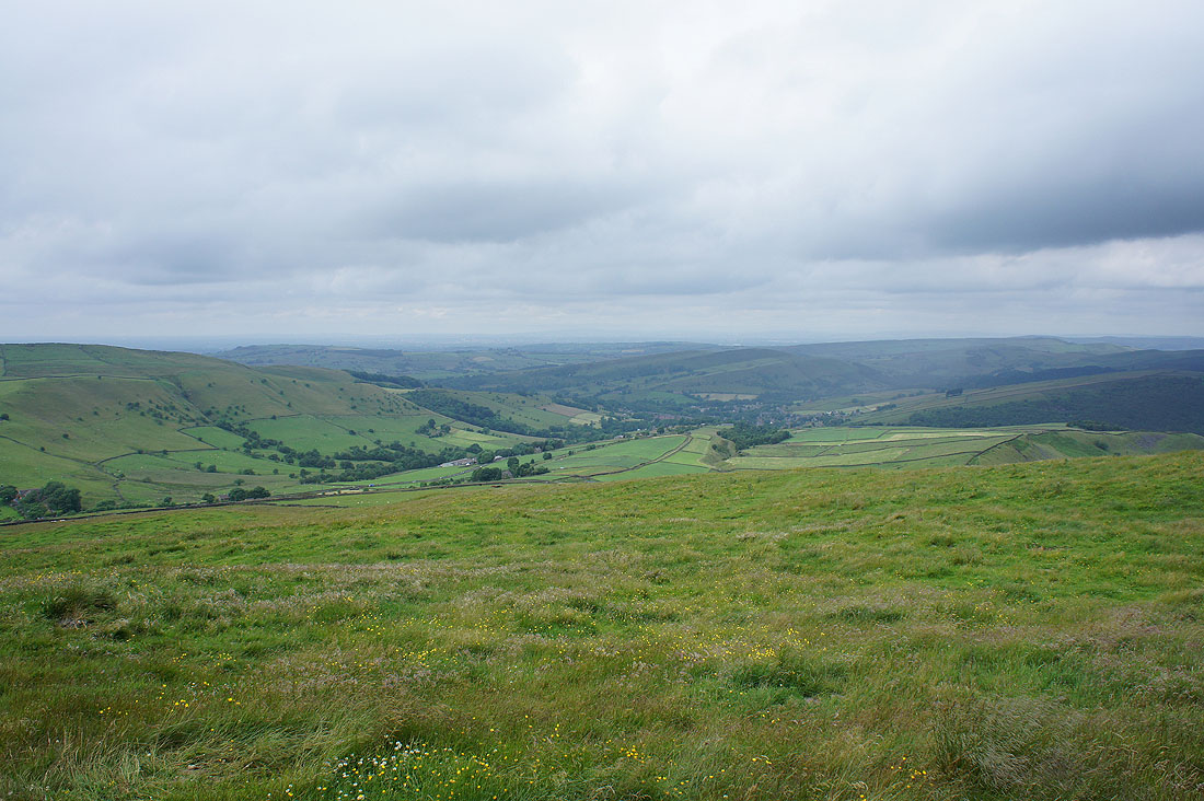
I've crossed the A624 and I can now see my final target for the day, Eccles Pike
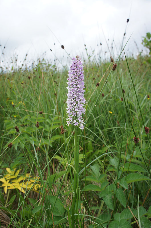
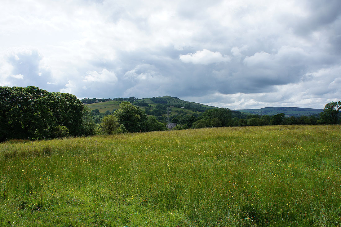
A fine example of a common spotted orchid in a field I passed through en route..
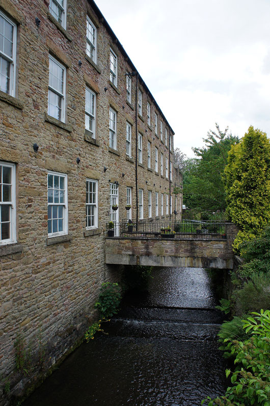
..to the former mill at Bridgeholm Green
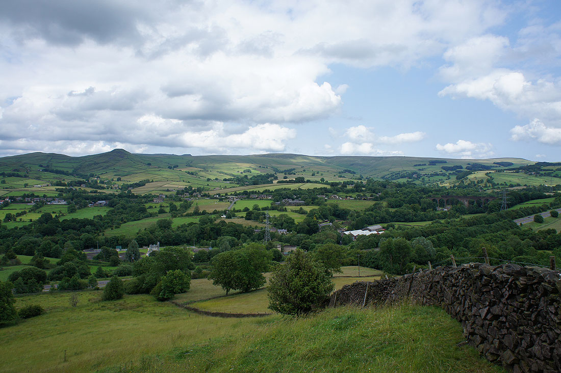
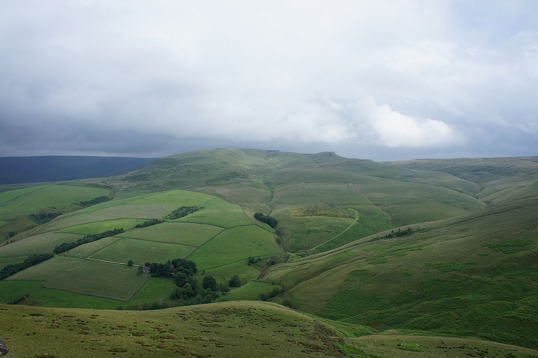
South Head and Brown Knoll as I look back on the way up to Hallhill Farm
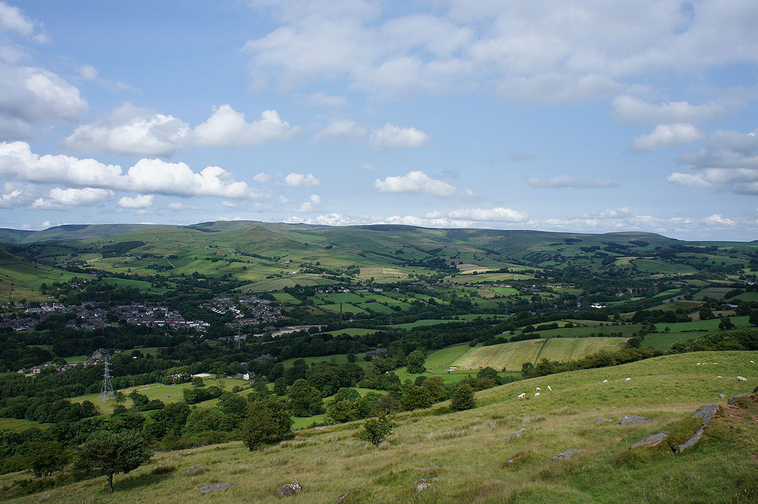
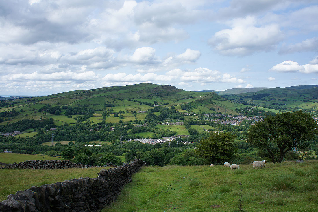
On the final approach to Eccles Pike. Chinley Churn, Chinley and South Head.
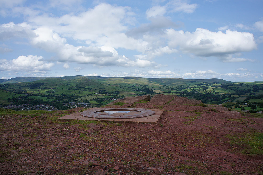
On the summit of Eccles Pike and the toposcope lets you know what can be seen
The western end of Kinder Scout, South Head, Brown Knoll and Rushup Edge
Rushup Edge on the left, Eldon Hill and Chapel-en-le-Frith
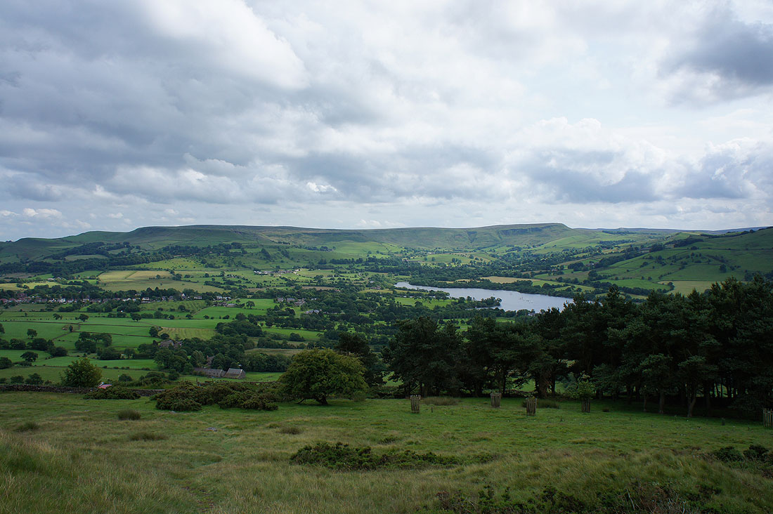
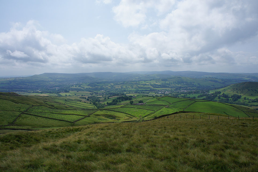
Combs Edge and Combs Reservoir
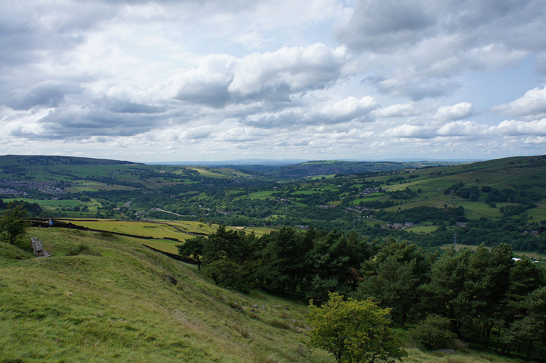
Through the gap in the hills taken by the River Goyt I can see Winter Hill on the other side of Manchester
Chinley Churn as I make my way down off Eccles Pike
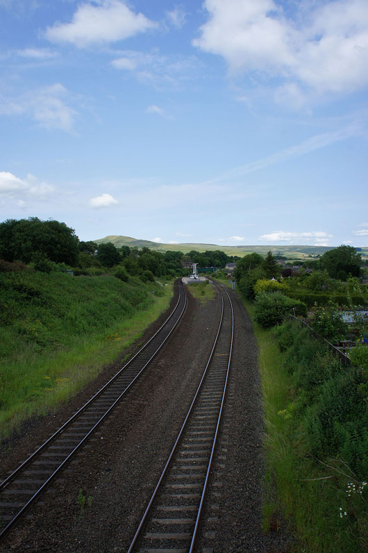
Across the railway line as it approaches Chinley station and I have just a short walk back to where I'm parked