12th July 2020 - Giggleswick Scar to Crummack Dale and back
Walk Details
Distance walked: 16.2 miles
Total ascent: 2484 ft
OS map used: OL2 - Yorkshire Dales, Southern & Western areas & OL41 - Forest of Bowland & Ribblesdale
Time taken: 8 hrs
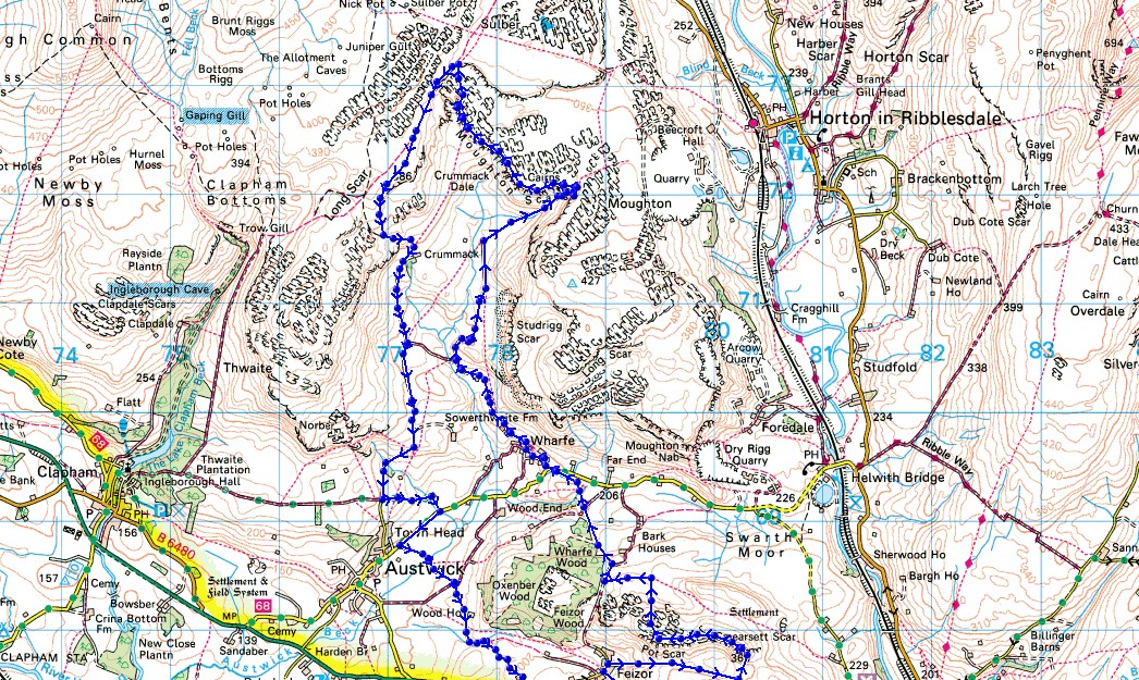
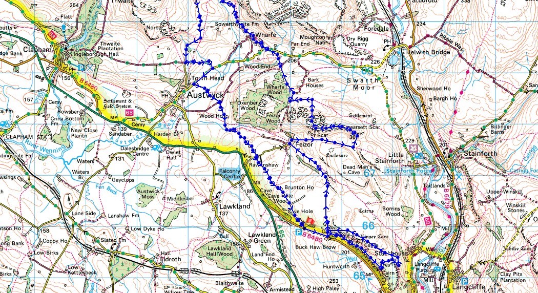
Route description: B6480, Buck Haw Brow-Giggleswick Scar-Feizor-Smearsett Scar-Pot Scar-Pennine Bridleway-Dales High Way-Wharfe-Moughton Scars-Sulber Gate-Pennine Bridleway-Crummack-Crummack Lane-Thwaite Lane-Flascoe Bridge-Meldings Barn-Kiln Hill Lane-Brunton Road-B6480, Buck Haw Brow
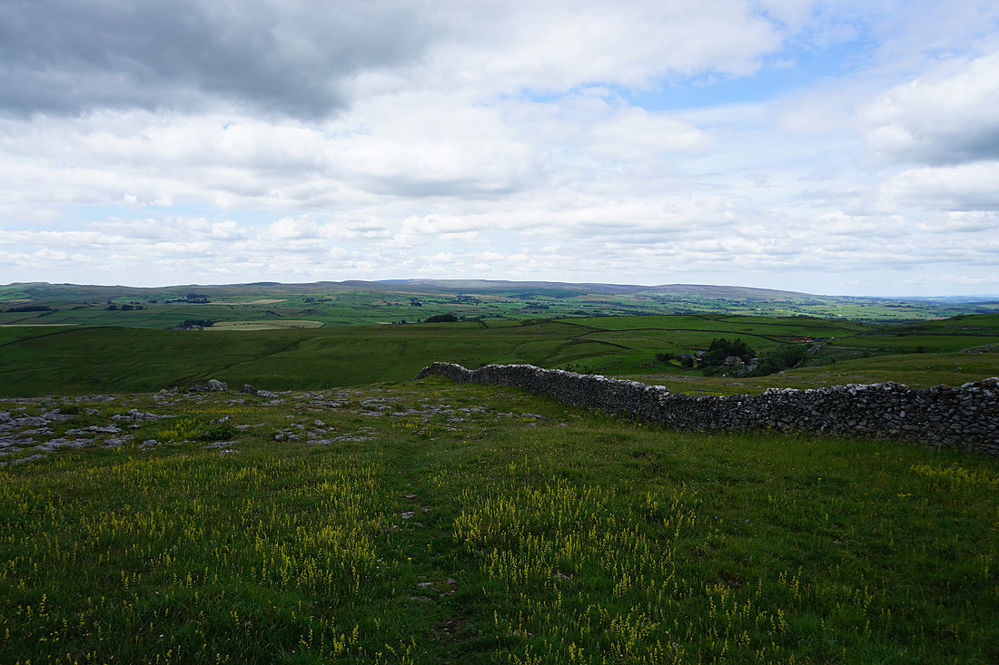
I certainly clocked up the miles this weekend, as after yesterday's long walk today's was even longer, but with such fantastic limestone scenery to enjoy and a long summer's day to the make the most of it, every step was worth the effort. This area around Crummack Dale and Ribblesdale is somewhere that I know well, and I had no trouble working out a route that would take in my favourite parts of it and would keep me from covering the same ground twice, although I didn't make the best of starts. I hadn't planned on looping back on myself on Giggleswick Scar, but by the time I realised where I was and the time and trouble it would take to get onto the path that I'd originally planned to follow I decided it would best to just get back to where I started at the top of Giggleswick Scar. It probably added to the distance of my original route. There was some lovely summer weather to make the most of the great scenery, especially as the afternoon wore on. With increasing amounts of warm sunshine and a cooling breeze, it was perfect weather for walking in the countryside.
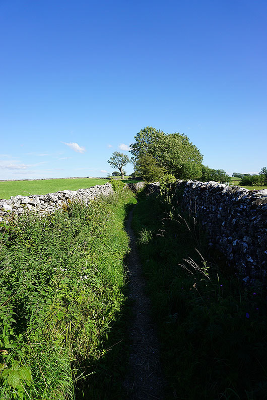
From where I parked in the layby on the B6480 on Buck Haw Brow I walked east along the verge to reach the footpath up onto Giggleswick Scar. I then made my way east above Giggleswick Scar to its eastern end at the Schoolboys Tower cairn. My plan was to then head north and pick up the path from Stackhouse to Feizor, but I ended up on a path back to where I climbed up onto Giggleswick Scar, and from there I followed the bridleway to Feizor. From Feizor I took the Dales Way path east beneath Pot Scar and Smearsett Scar, leaving the path to climb up to the trig point on Smearsett Scar, where I stopped for lunch. Break had, I then made my way west to Pot Scar and then north to pick up the footpath west to the Pennine Bridleway next to Wharfe Wood. I briefly followed the Pennine Bridleway north but soon left it to cross a ladder stile on the left to take the Dales High Way path northwest to reach the road just outside the hamlet of Wharfe. From Wharfe I followed the bridleway northwest into Crummack Dale, and then took the footpath north along a track beneath Studrigg Scar to reach the southern end of Moughton Scars. I then made my way north along Moughton Scars and across Thieves Moss to Sulber Gate, where I picked up the Pennine Bridleway, which I followed south towards Long Scar for the bridleway down to Crummack Farm. From Crummack Farm I walked south along the bridleway and down Crummack Lane before turning left and taking the track of Thwaite Lane. At the end of Thwaite Lane I turned right and walked along the road towards Austwick before taking a bridleway on the left, which I followed across Flascoe Bridge to a junction of bridleways. I took the first one on the right, which took me past Wood House and Meldings Barn to another junctions of bridleways, where I took the one on the right to reach Kiln Hill Lane. I turned right and soon reached the junction of Kiln Hill Lane and Brunton Road, and a walk south along Brunton Road took me back to the B6480 and the layby where I was parked.
Route map
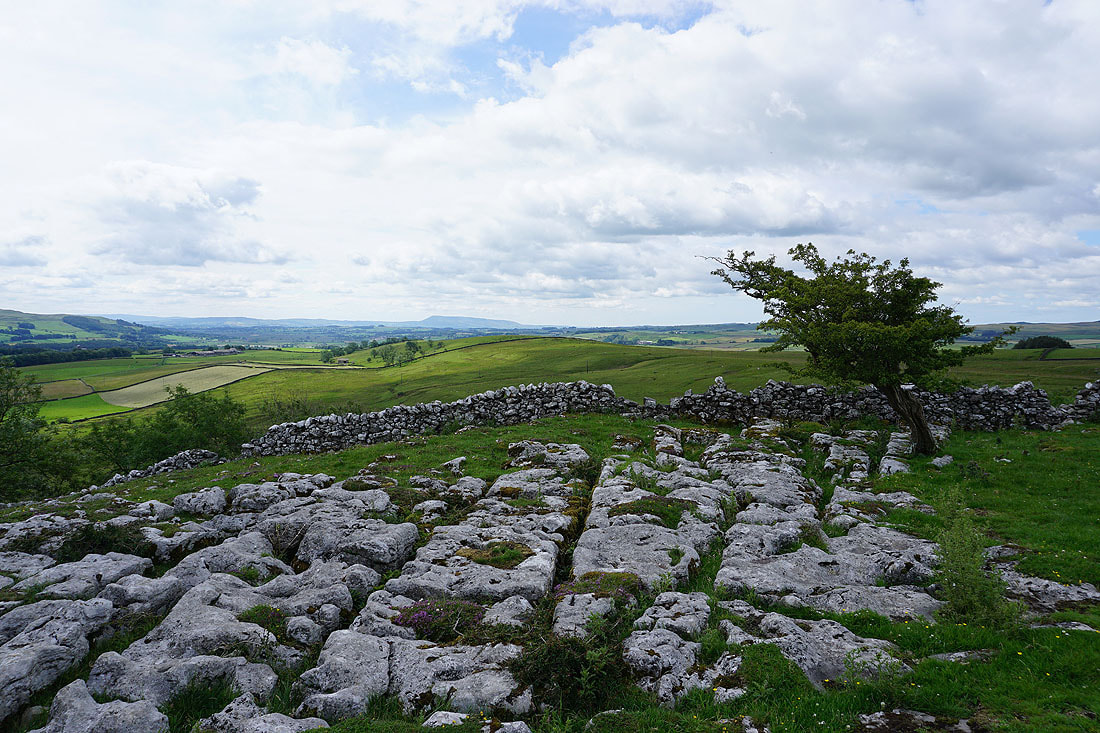
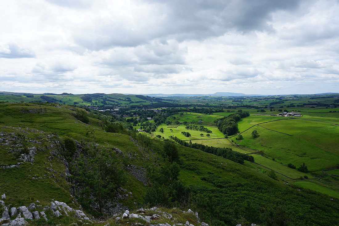
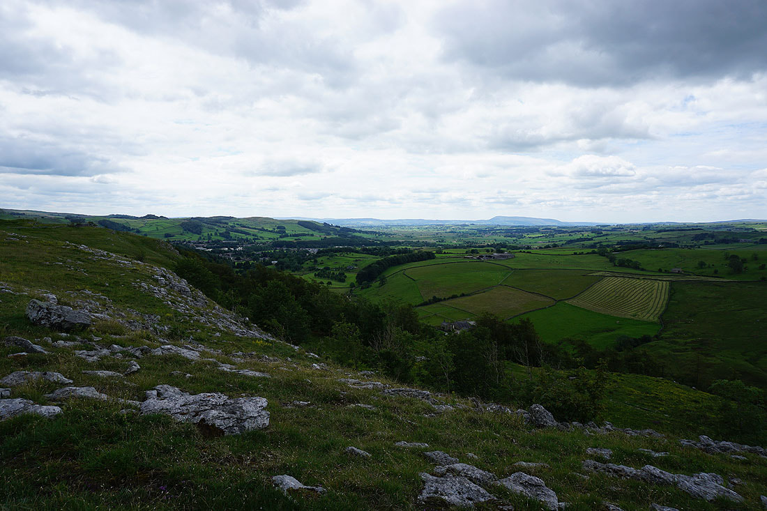
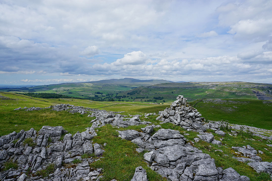
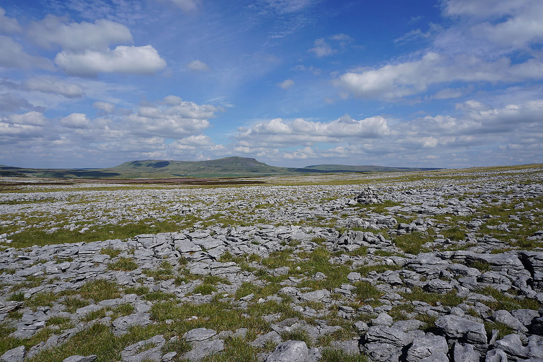
After a short climb up from the road, on Giggleswick Scar with a view to Pendle Hill
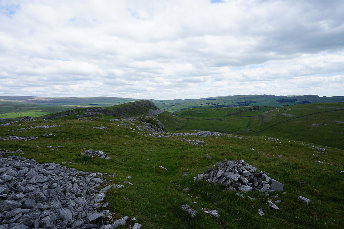
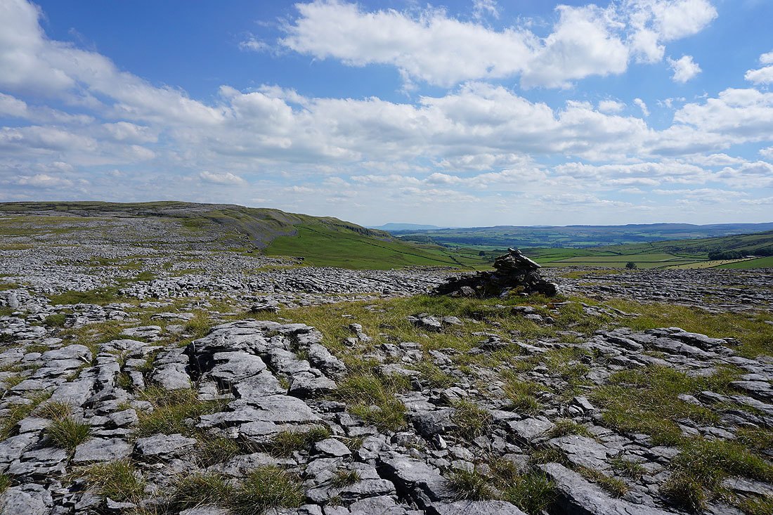
Looking back west along Giggleswick Scar
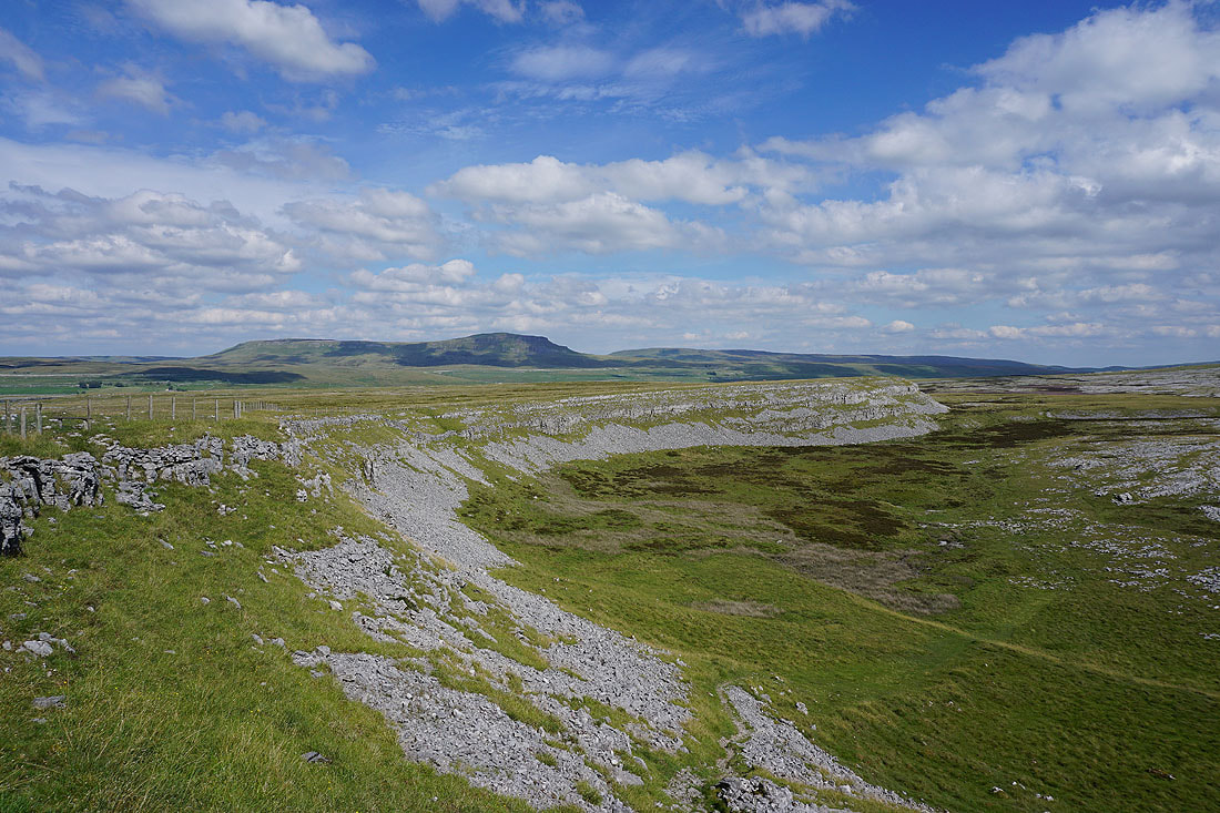
Giggleswick and Pendle Hill as I head for the eastern end of Giggleswick Scar..
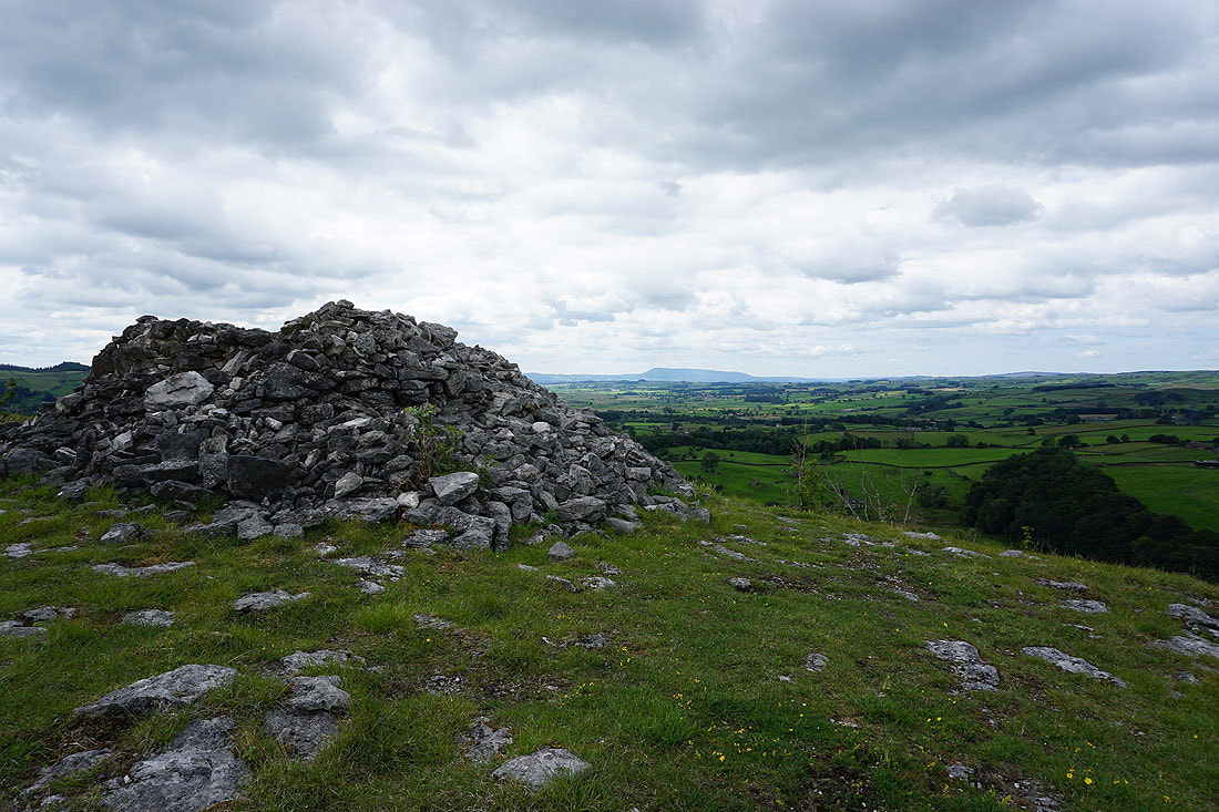
..and the cairn of Schoolboys Tower
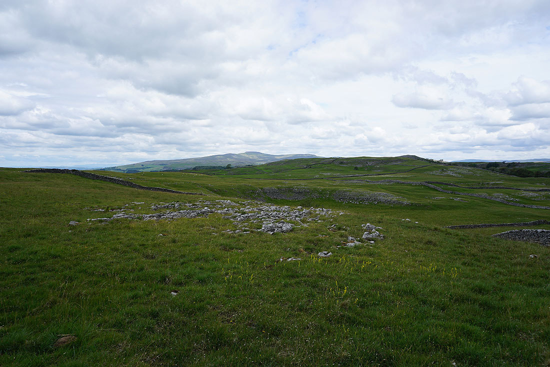
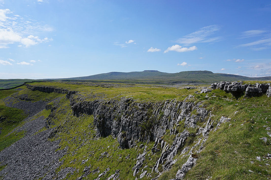
Ingleborough in the distance..
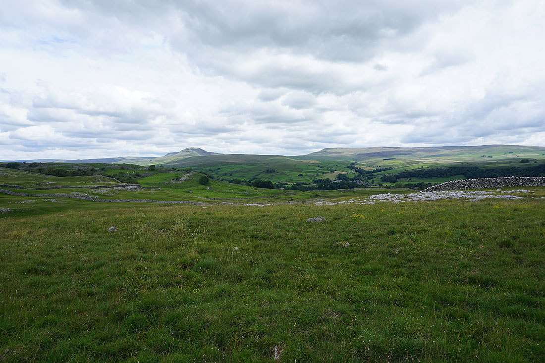
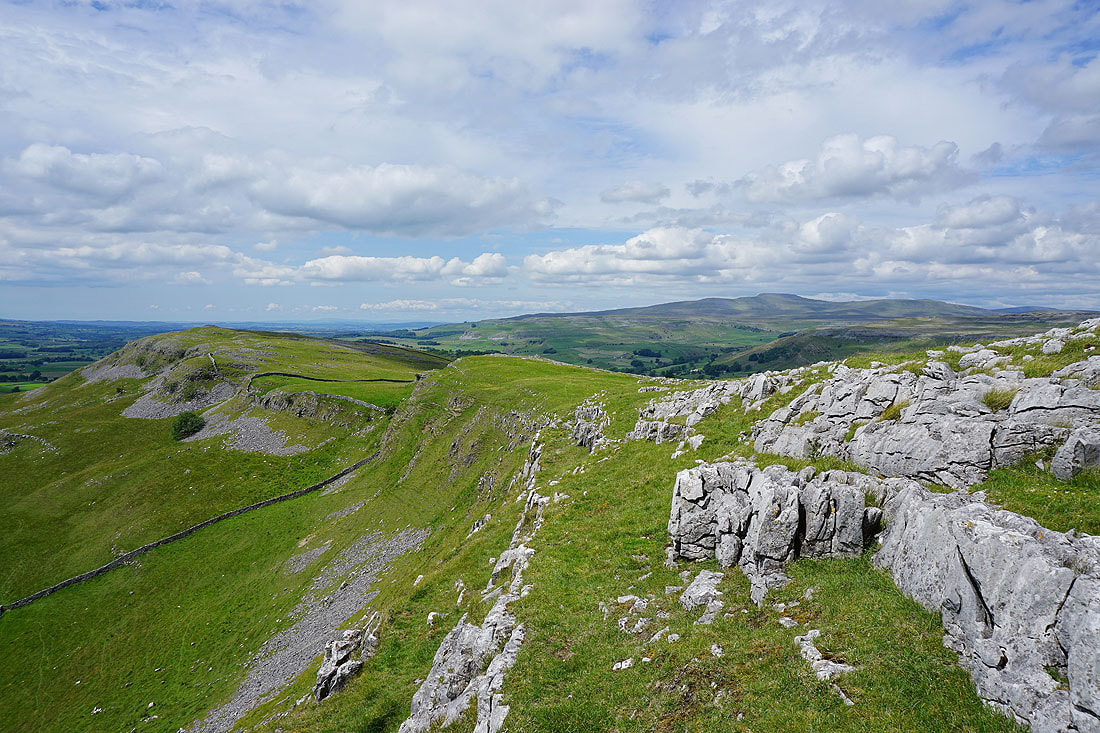
..along with Penyghent and Fountains Fell on the other side of Ribblesdale as I head back west above Giggleswick Scar
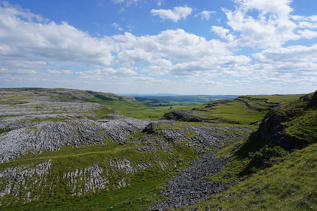
The Forest of Bowland in the distance as I reach the top of Giggleswick Scar
I wasn't planning on returning to this spot, but at least I'm sure of where I am now, and I can enjoy the view to Pendle Hill again
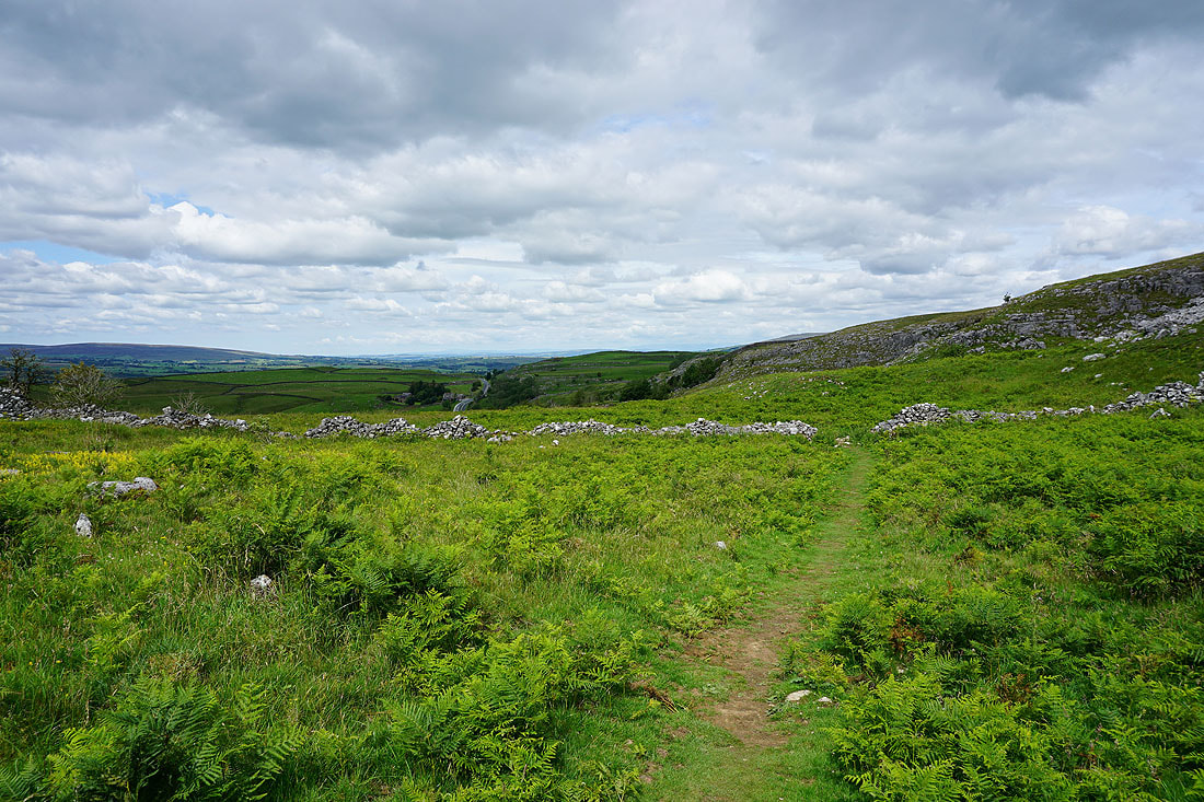
Following the bridleway to Feizor...
Leaving Feizor behind..
..for the footpath beneath Pot Scar to Smearsett Scar
Looking across to Pot Scar as I start the short but steep climb up Smearsett Scar
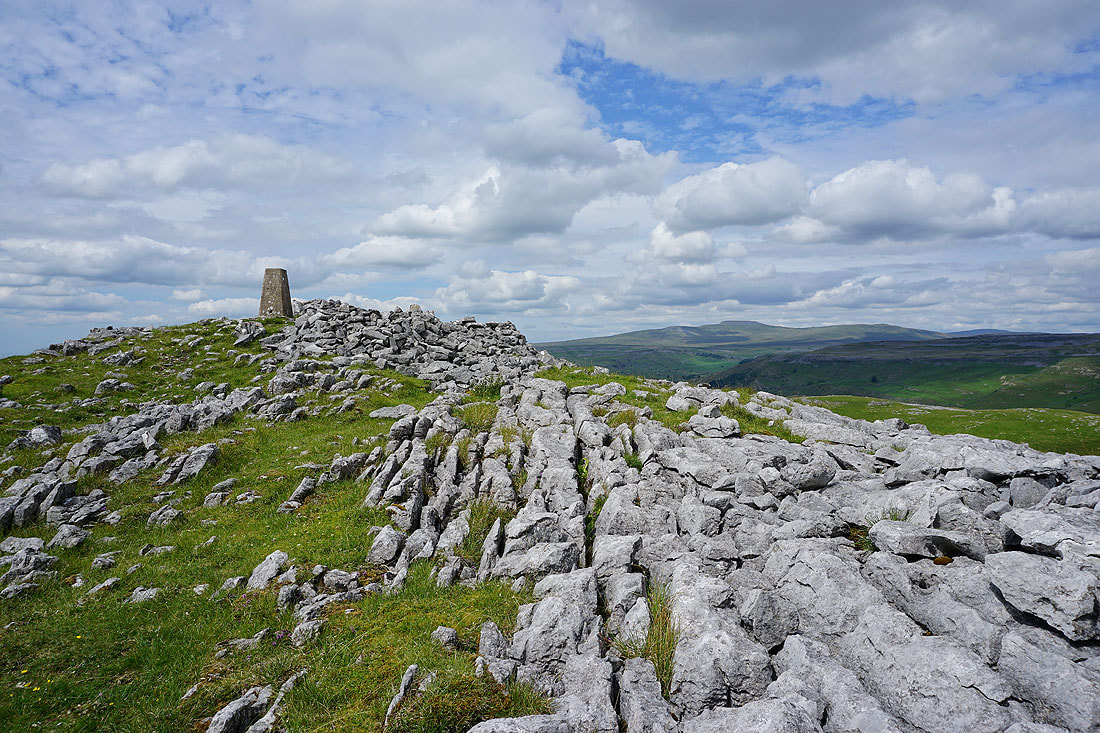
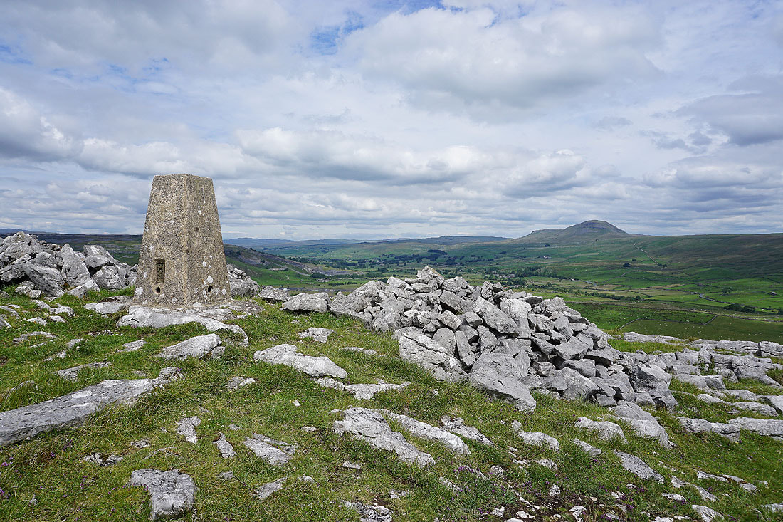
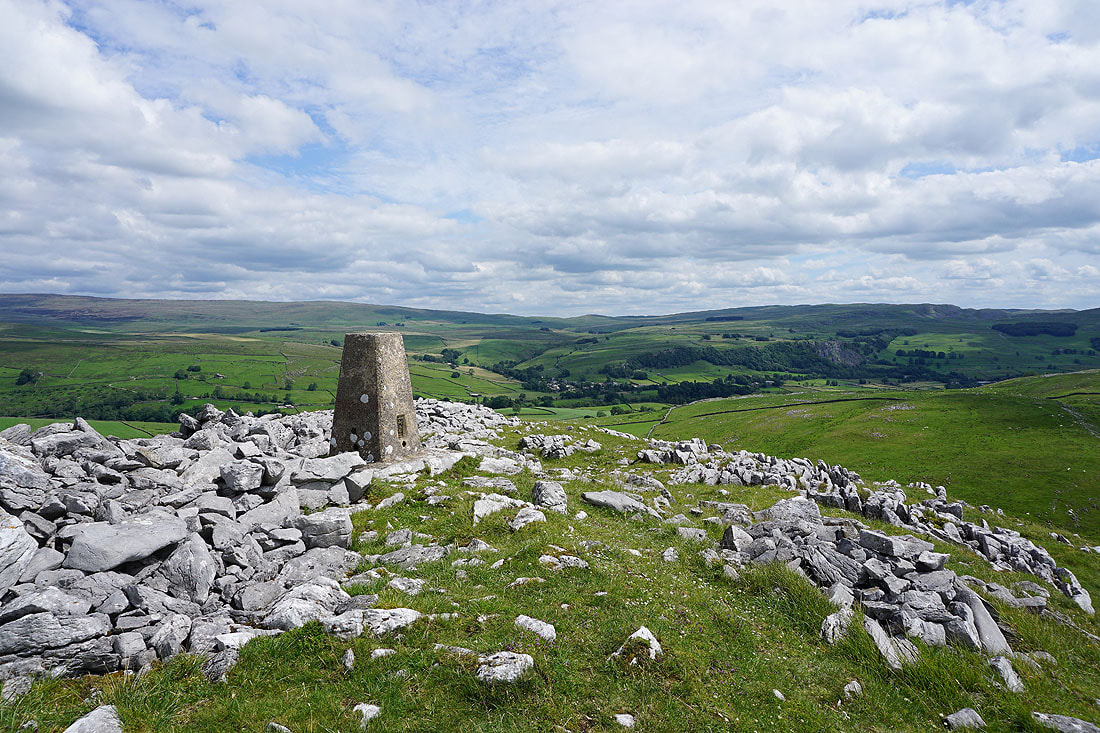
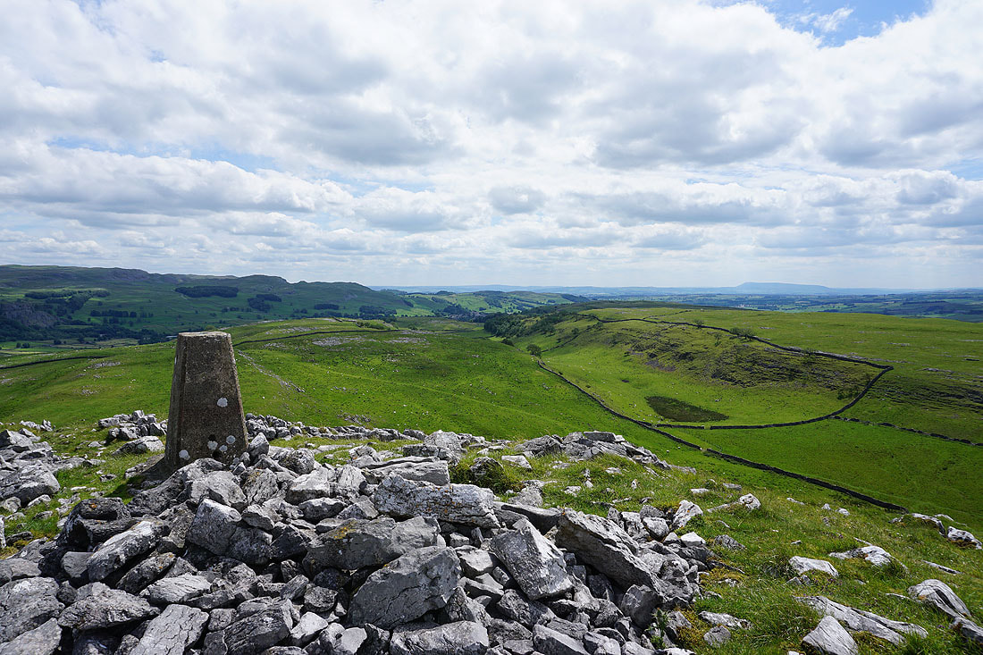
My arrival on the summit is greeted with a fantastic view
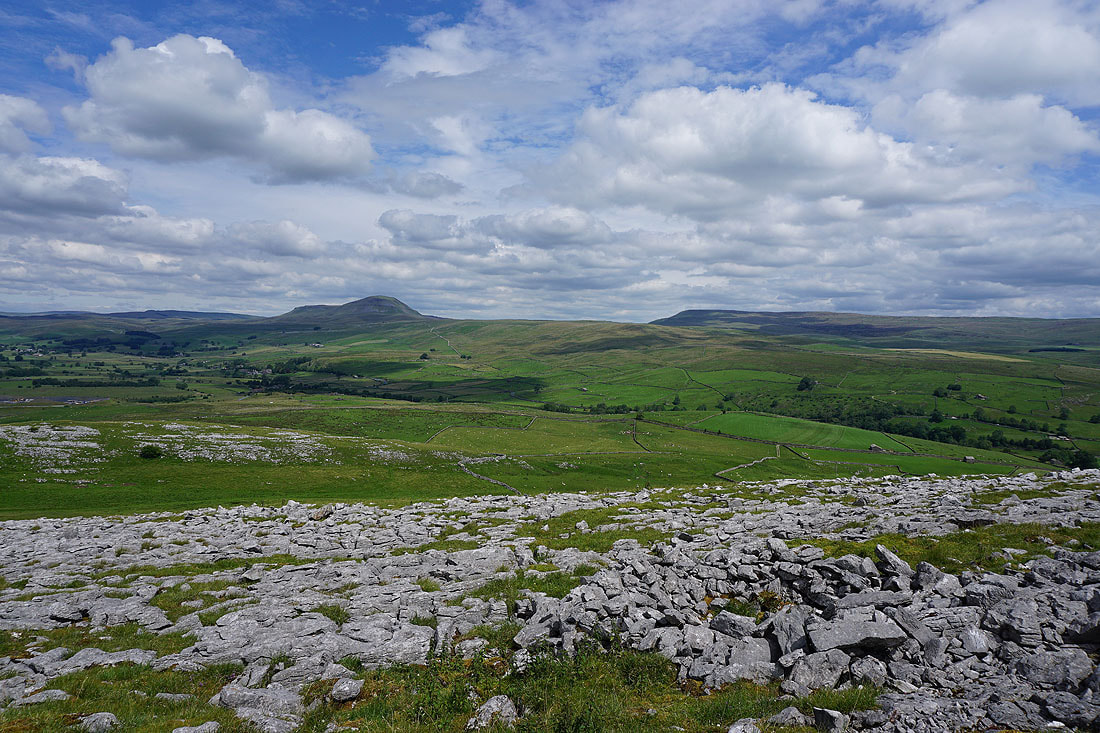
Ribblesdale and Penyghent
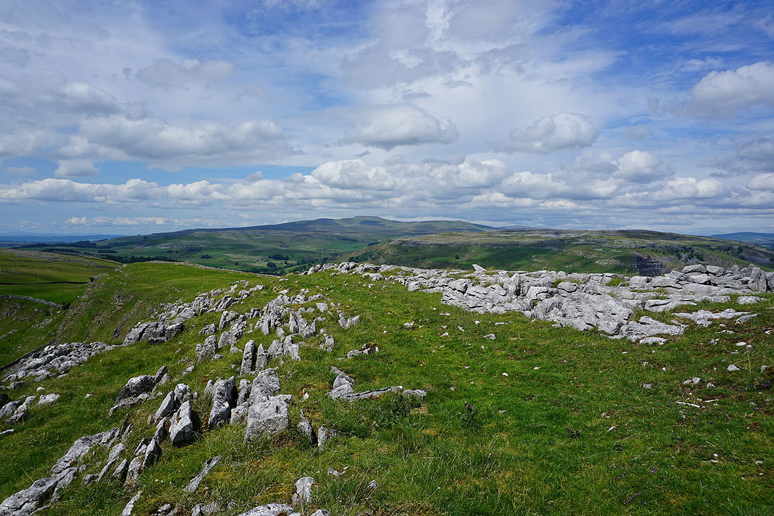
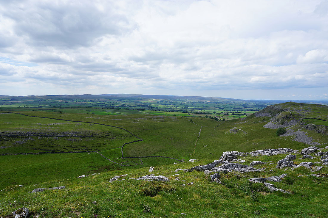
Pot Scar, Ingleborough, Crummack Dale and Moughton..
Looking across Ribblesdale to Stainforth and Stainforth Scar
Warrendale Knotts above Settle, and Pendle Hill in the distance
Looking towards the Forest of Bowland
Summer skies over Penyghent, Fountains Fell and Ribblesdale
On my way from Smearsett Scar to Pot Scar, and a cairn provides an excuse to stop and take a photo of the great view across to Crummack Dale and Ingleborough
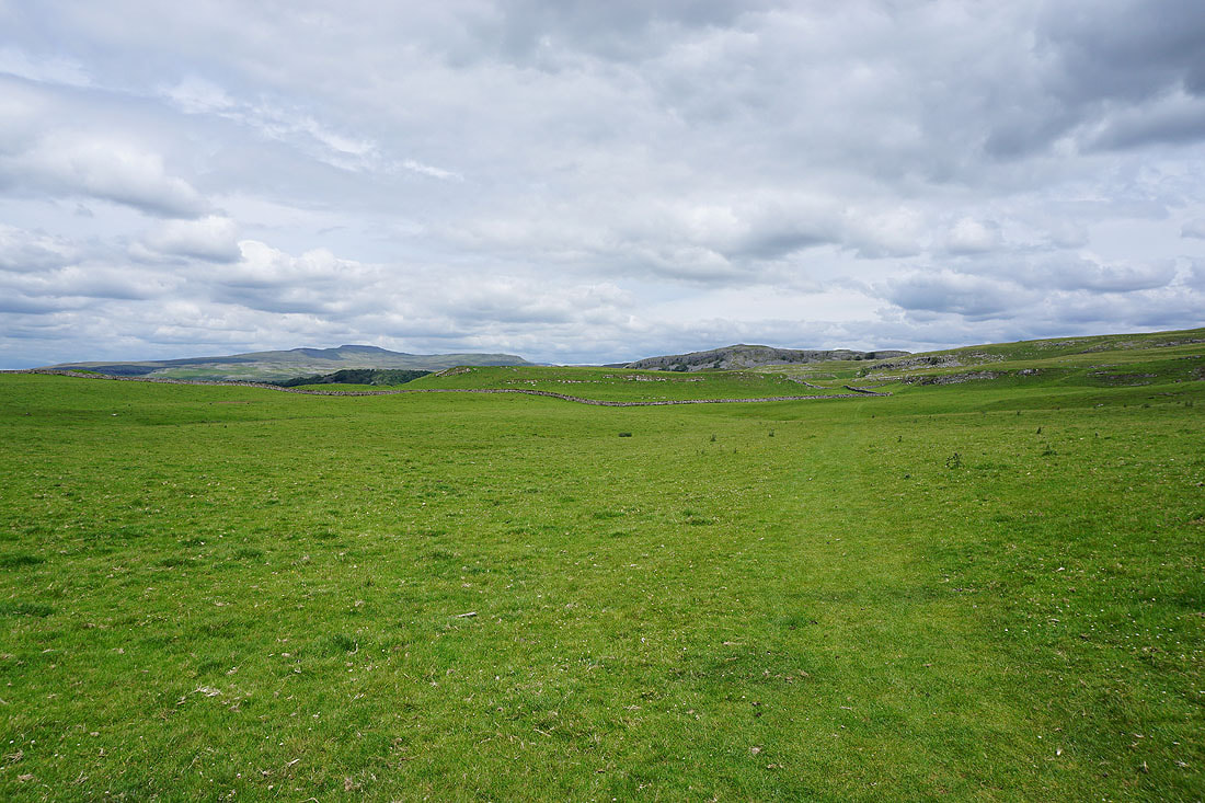
Looking across to Smearsett Scar from Pot Scar
Moughton Nab and Penyghent as I take the Pennine Bridleway
Limestone scars on the southern end of Moughton from the Dales High Way path to Wharfe..
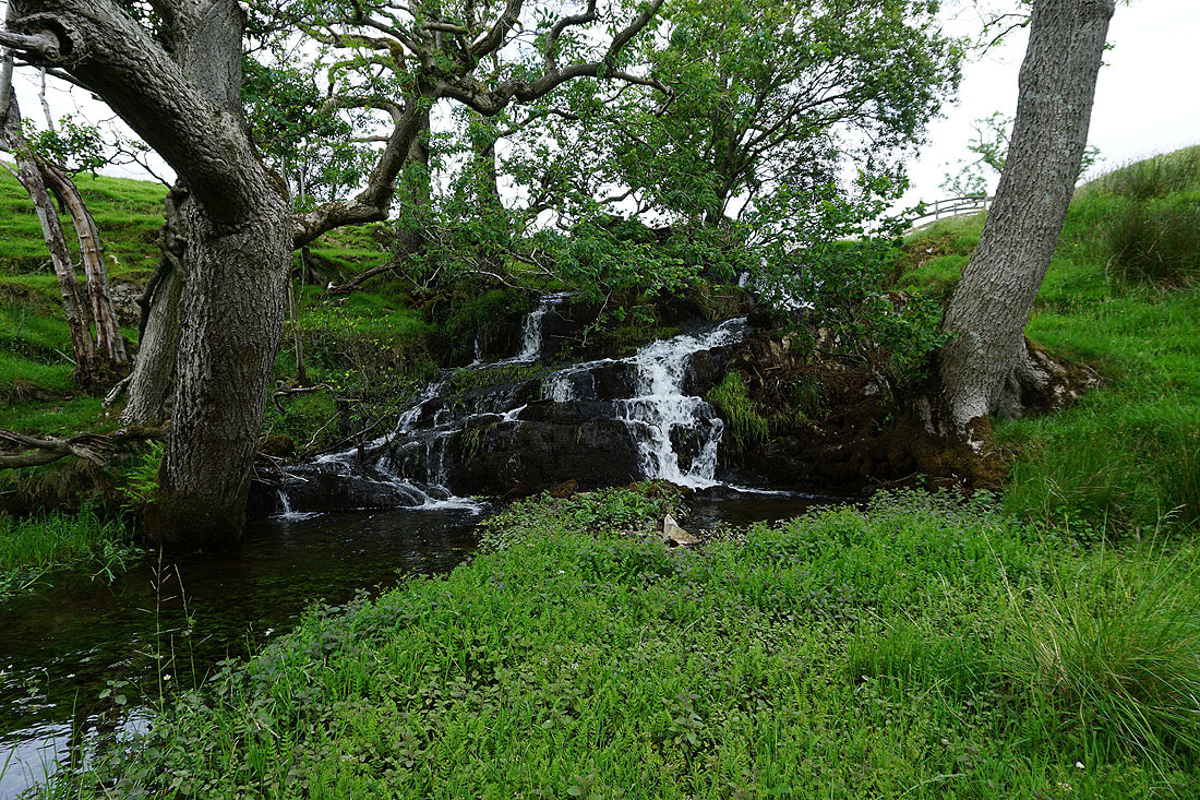
A waterfall on Wharfe Gill Sike
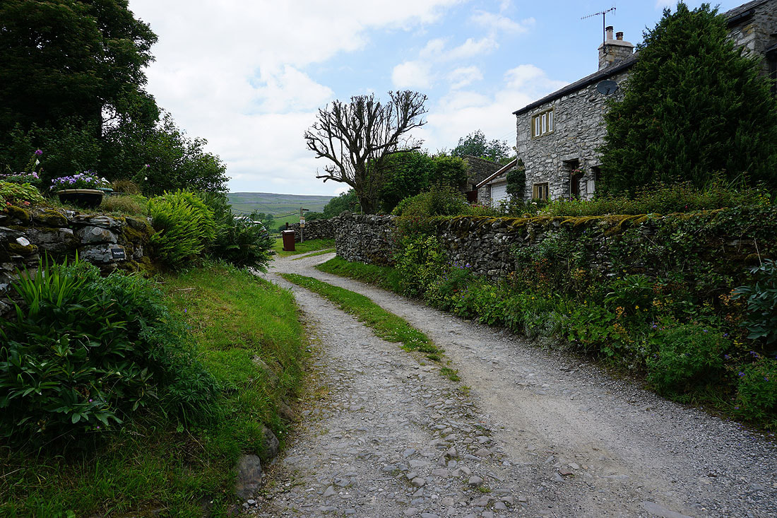
On the bridleway through the hamlet of Wharfe..
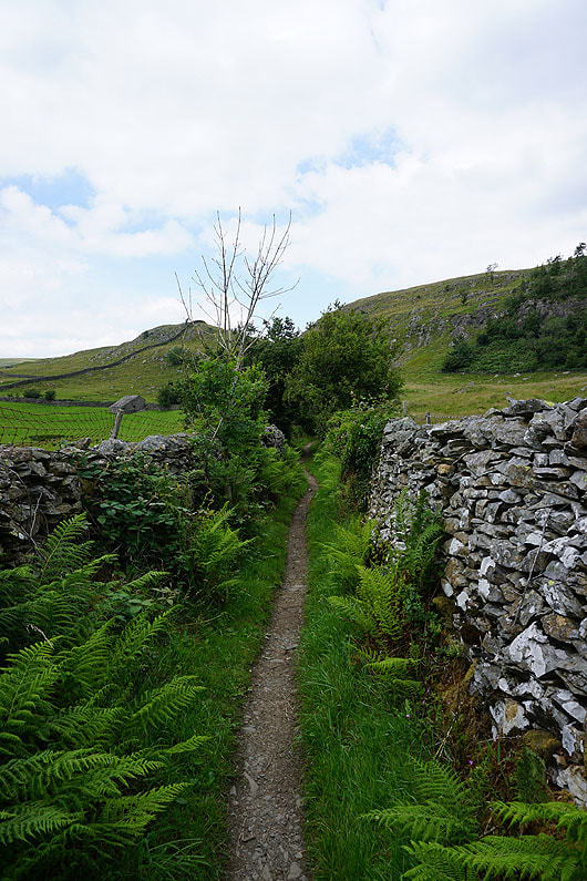
..and then on towards Crummack Dale
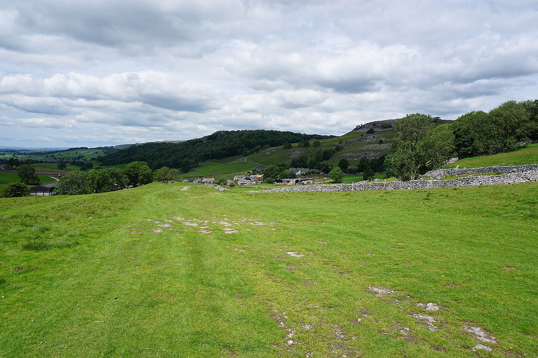
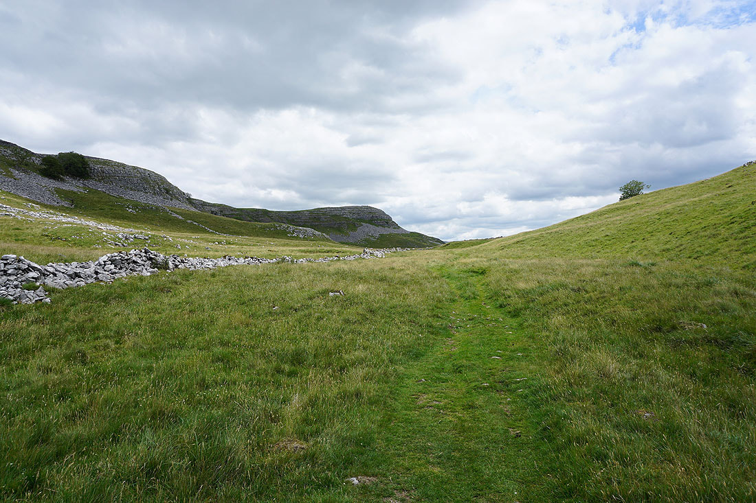
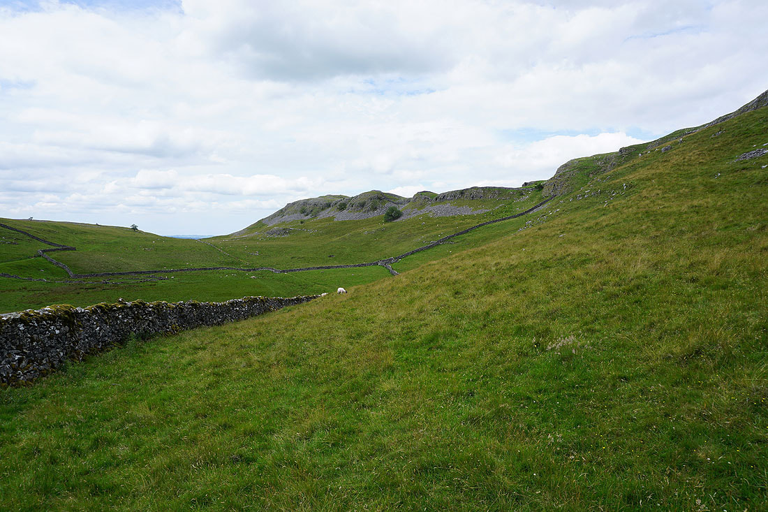
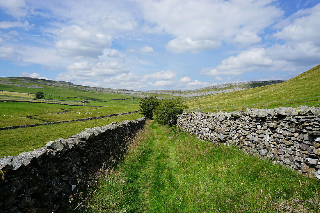
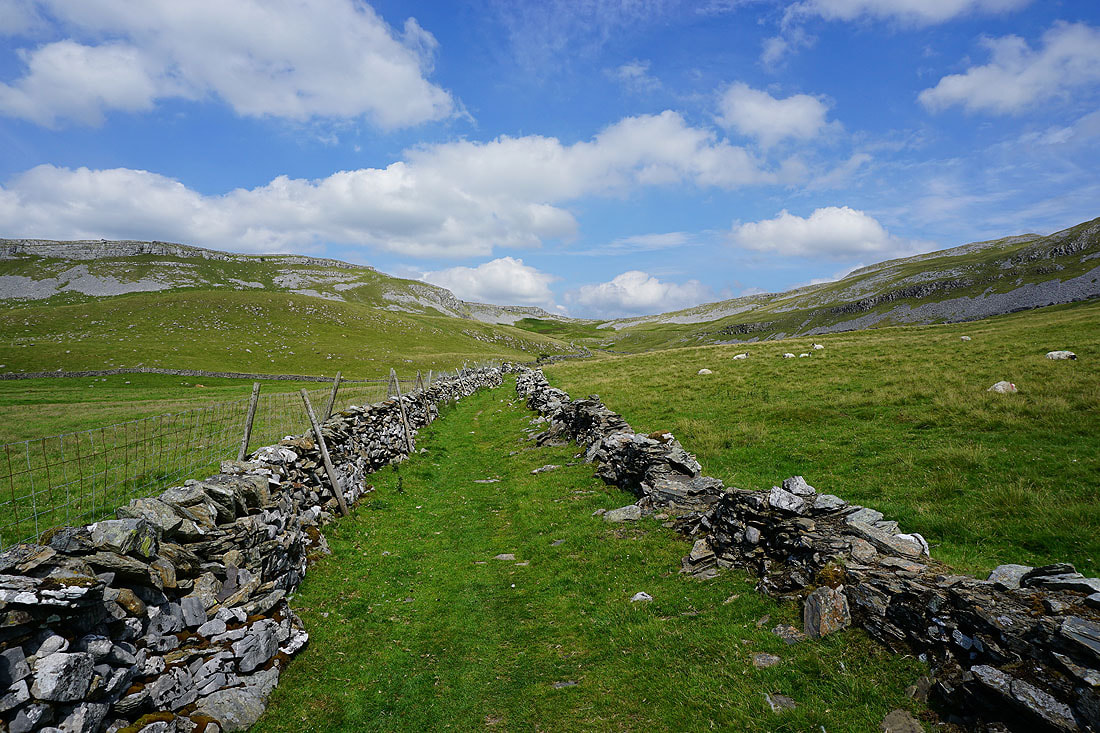
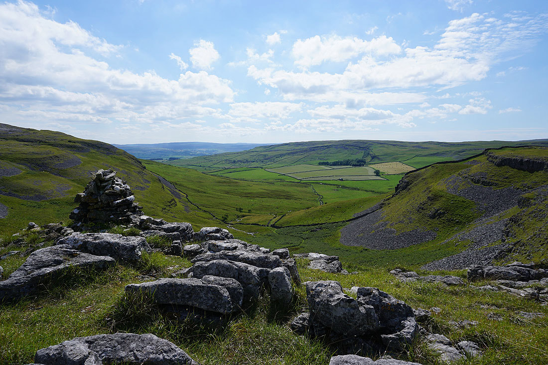
Making my way up Crummack Dale surrounded by limestone scars, which look great on a summer's afternoon...
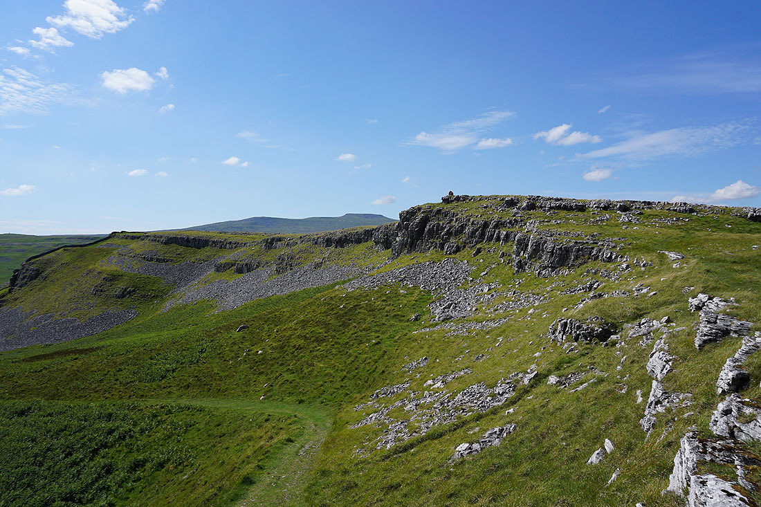
Ingleborough appears as I make my way up onto Moughton Scars
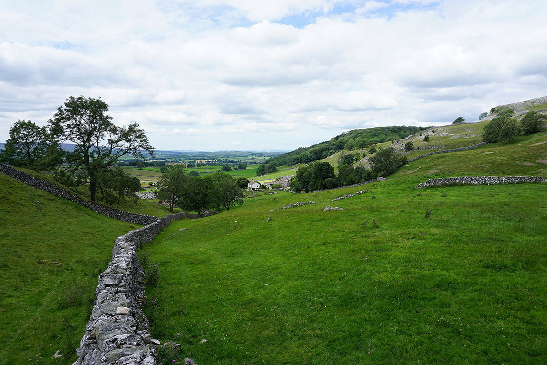
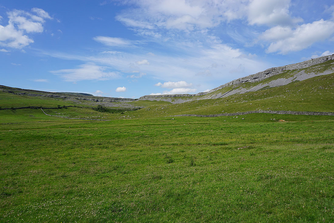
Looking back down Crummack Dale
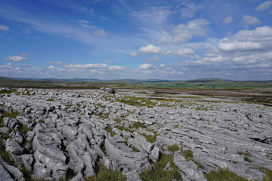
The extensive limestone pavements of Sulber to the north of Moughton Scars, with Cam Fell and Birkwith Moor in the distance
Ingleborough and Simon Fell from Moughton Scars
and looking in the other direction, Penyghent and Fountains Fell
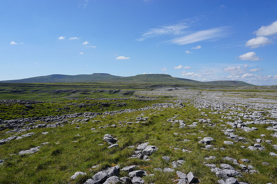
Ingleborough, Simon Fell and Park Fell..
..and Penyghent and Fountains Fell, as I make my way north along Moughton Scars
Pendle Hill appears in the distance round the side of Moughton
Looking across Thieves Moss to Penyghent and Fountains Fell from Sulber Gate
and down Crummack Dale to Pendle Hill
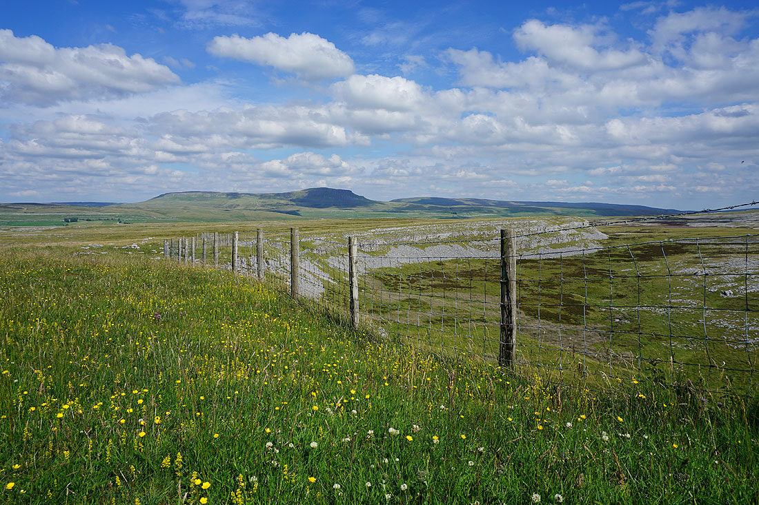
Before I move on from Sulber Gate, I can't resist the opportunity of taking this photo of Penyghent and Fountains Fell with the wildflowers and fence in the foreground
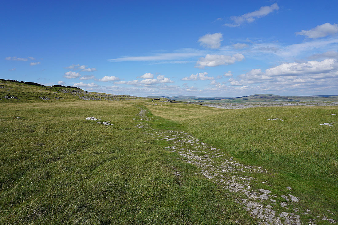
Heading south along the Pennine Bridleway from Sulber Gate
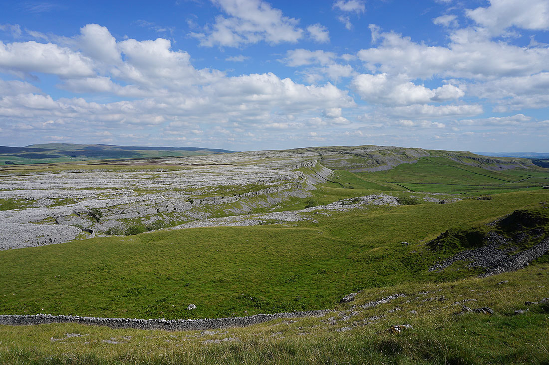
The extensive limestone pavements of Moughton across Crummack Dale to my left
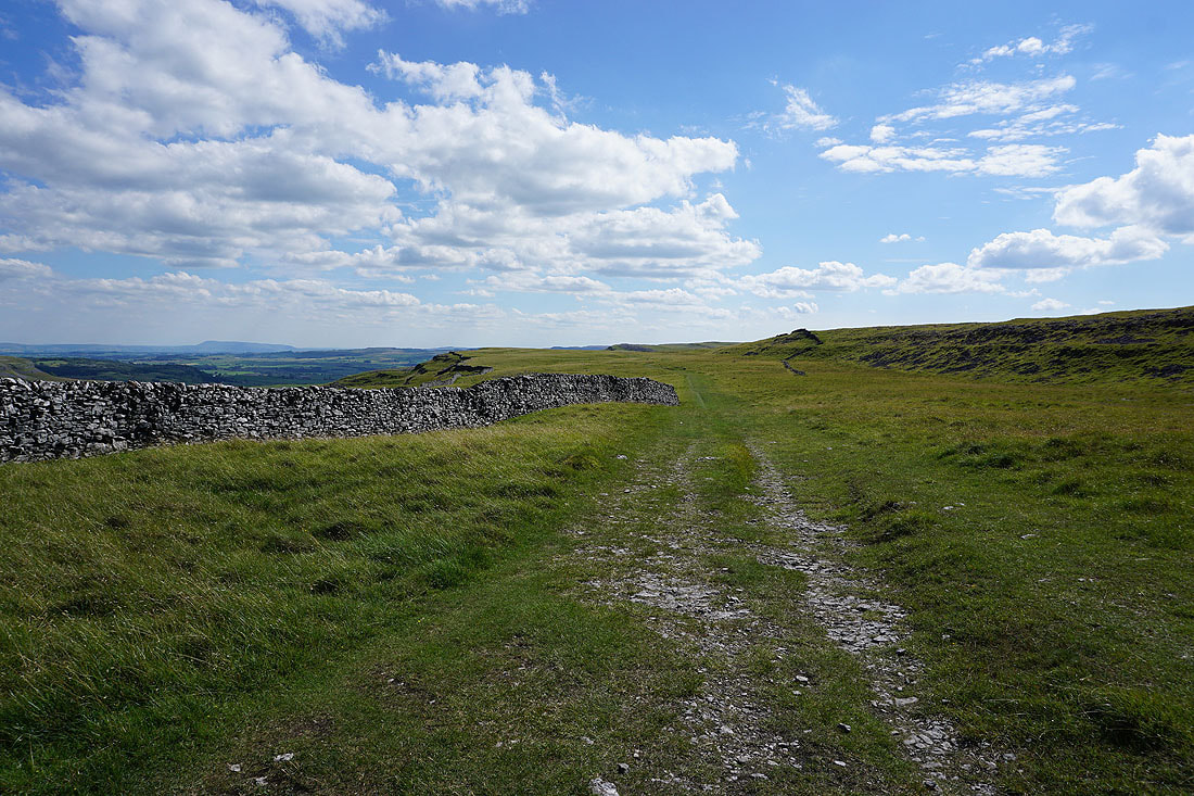
Looking back north along the Pennine Bridleway
I leave the Pennine Bridleway behind and take the bridleway down into Crummack Dale and past Crummack Farm...
The bridleway to Wharfe, which I'm not taking. Does look tempting though.
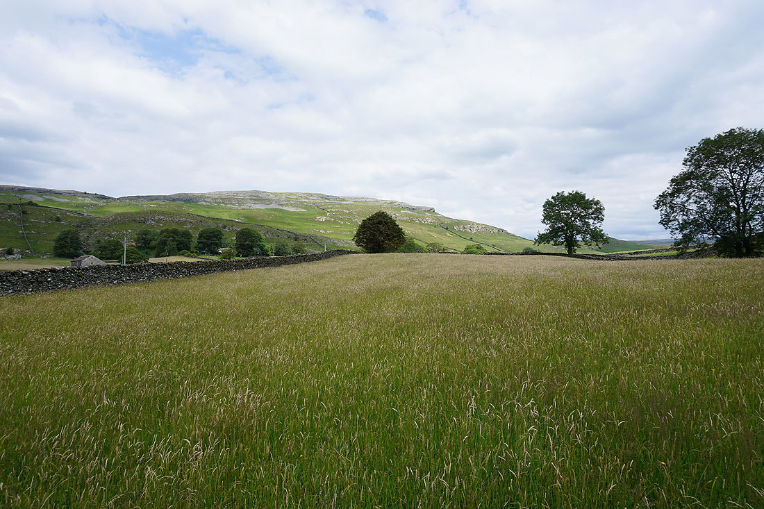
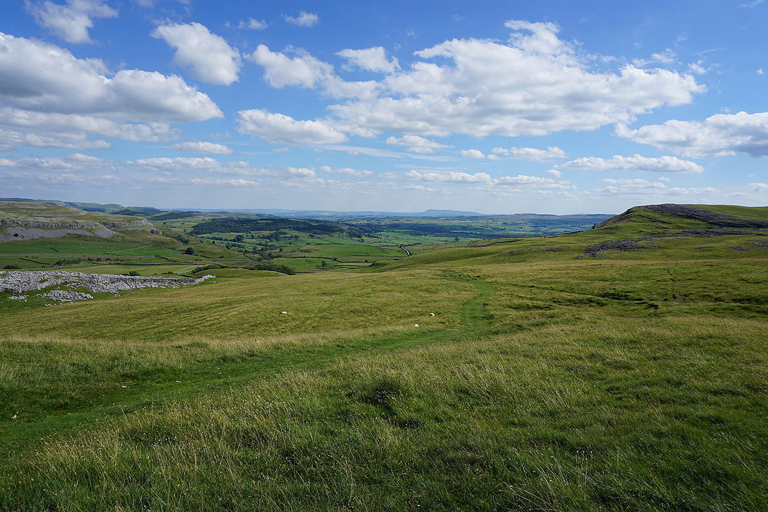
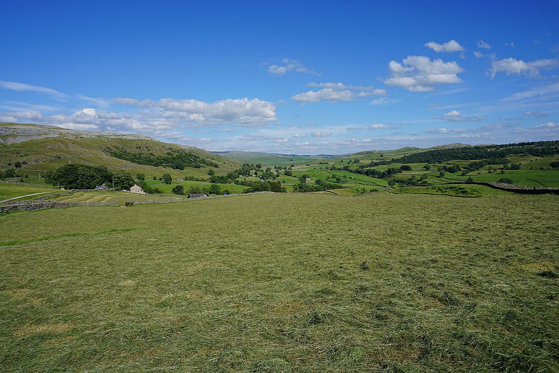
Freshly cut hay and a view across Crummack Dale
Having walked down Crummack Lane, I take a left onto the track of Thwaite Lane
and then I'm walking along the lane towards Austwick
I leave the lane for a bridleway on the left to Flascoe Bridge
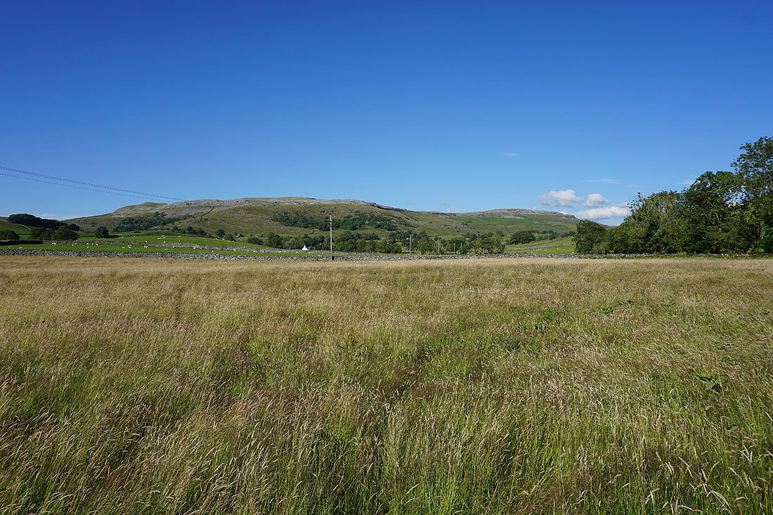
Looking north to the hill of Moughton
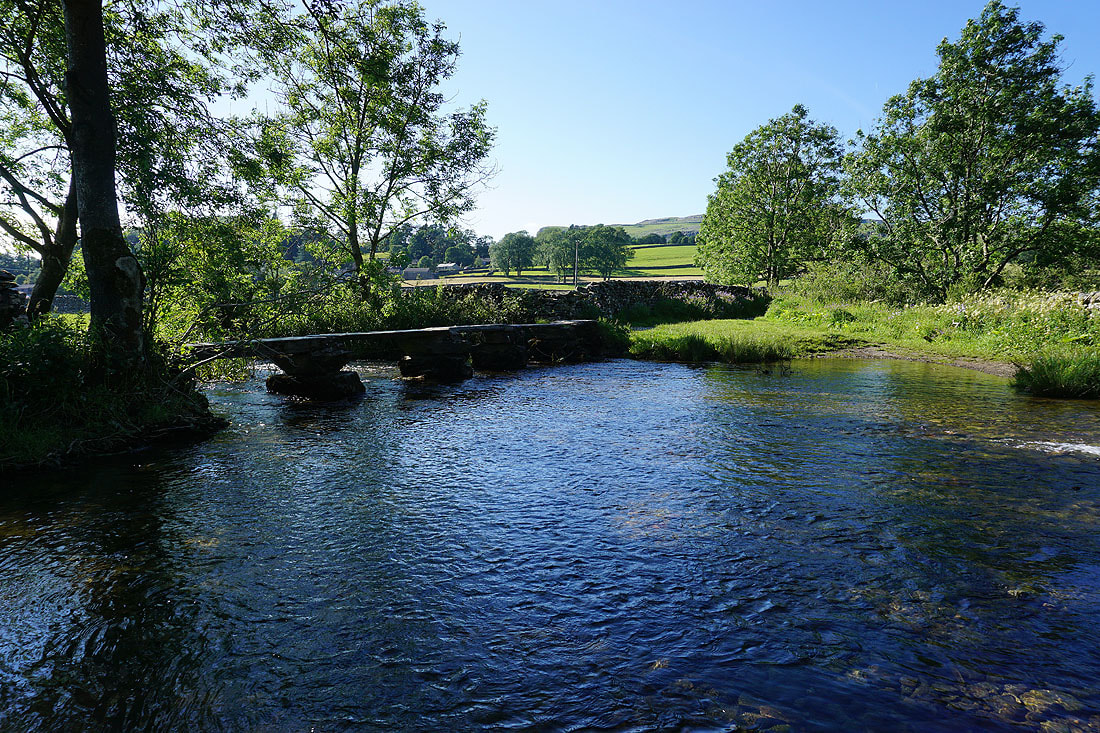
Flascoe Bridge over Austwick Beck
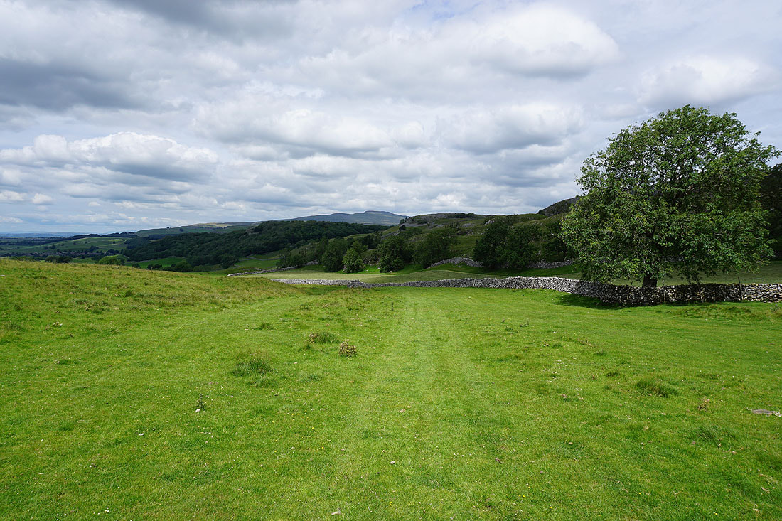
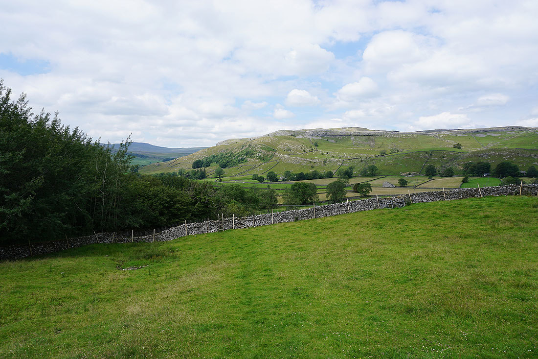
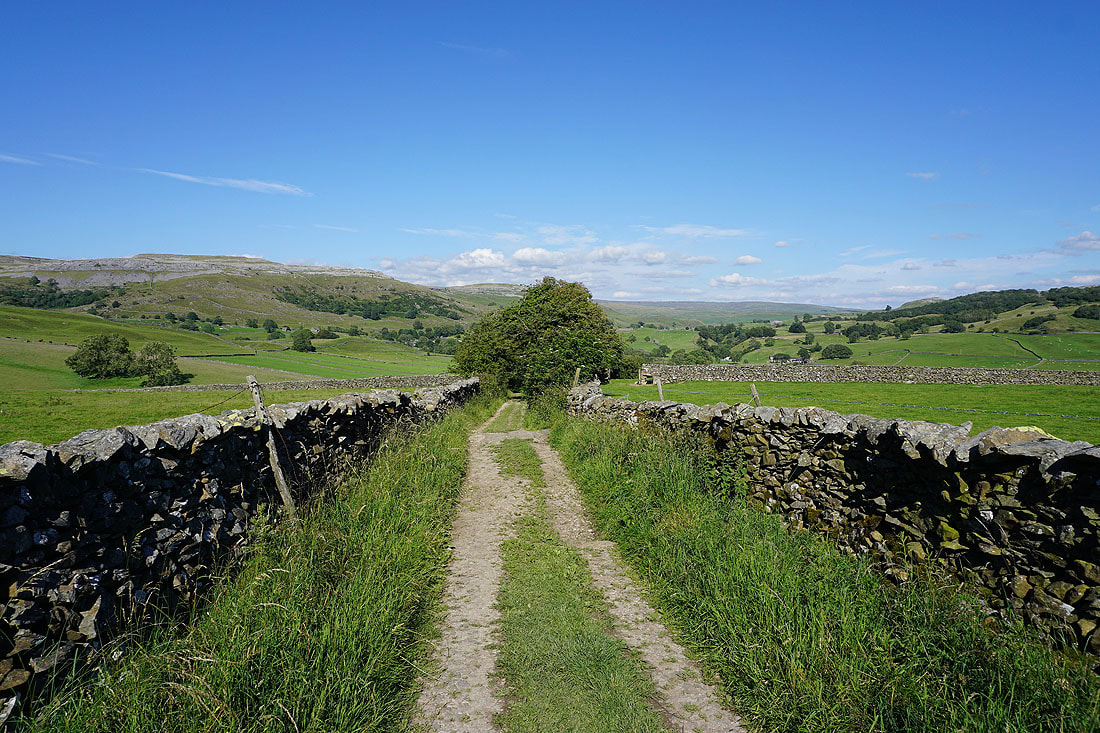
Looking back to Thwaite and Crummack Dale from the bridleway past Wood House to Kiln Hill Lane
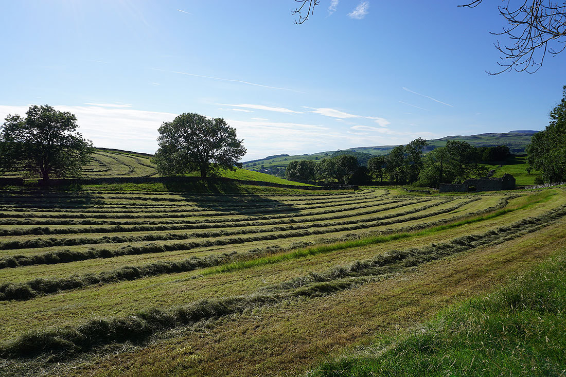
Freshly mown fields at Meldings Barn
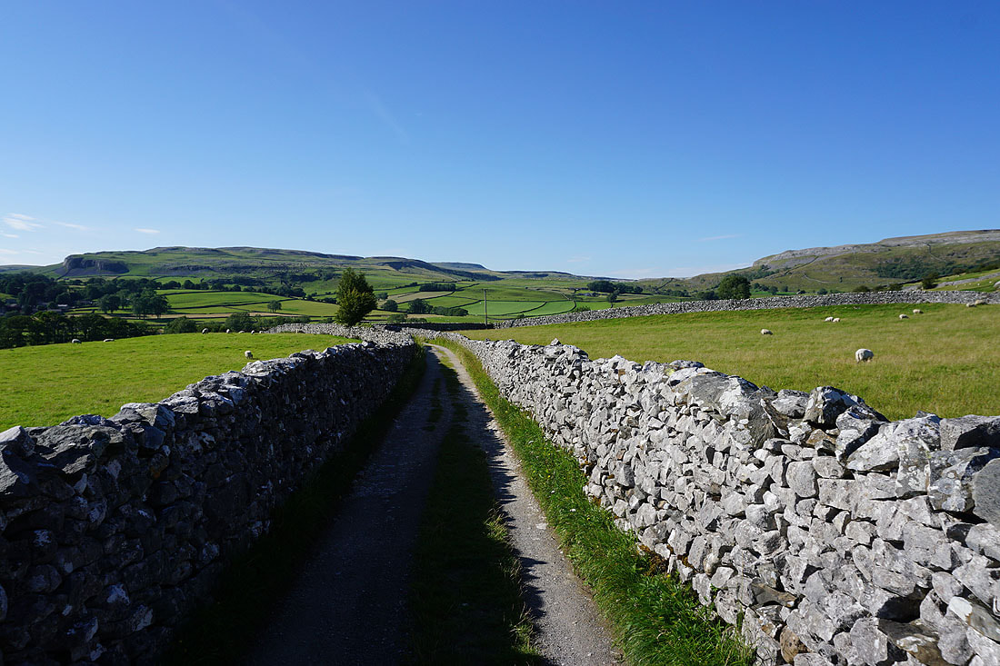
On the bridleway to Kiln Hill Lane
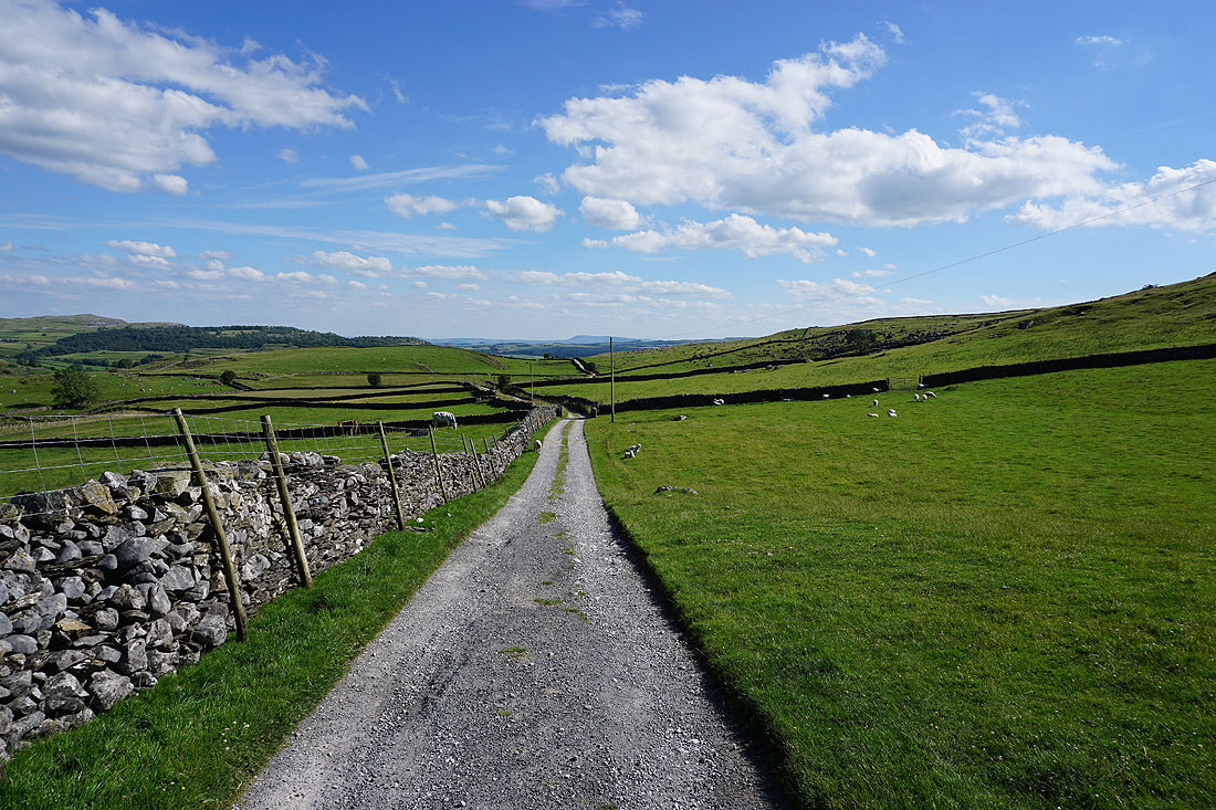
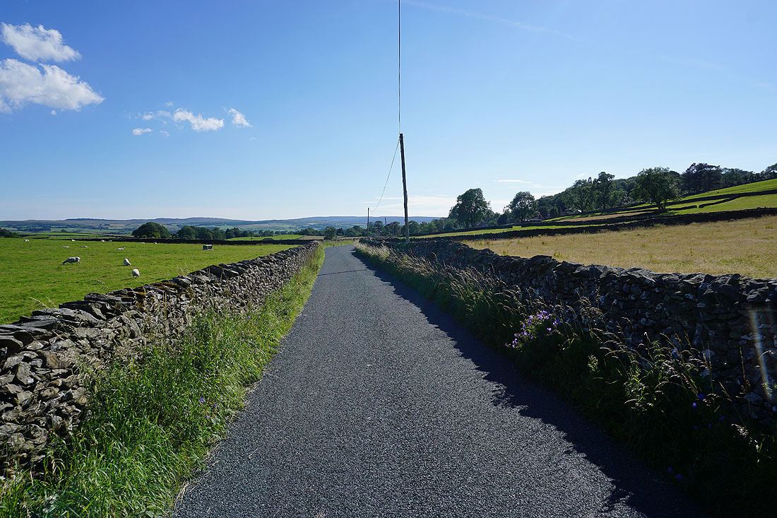
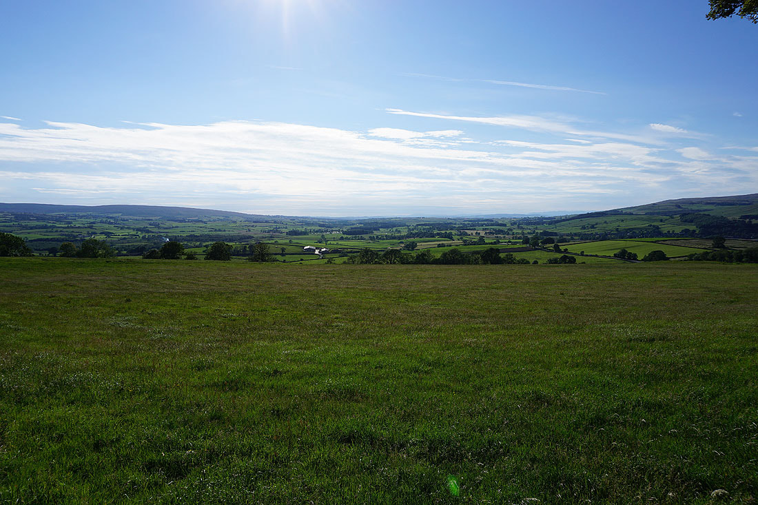
As soon as I reached Kiln Hill Lane, I was at its junction with Brunton Road, which I'll walk along back to the layby on Buck Haw Brow. To my right I have an extensive view, which includes the outline of some of the Lake District fells in the far distance.
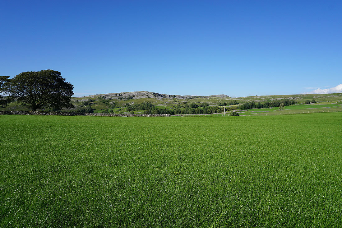
To my left, Pot Scar and Smearsett Scar
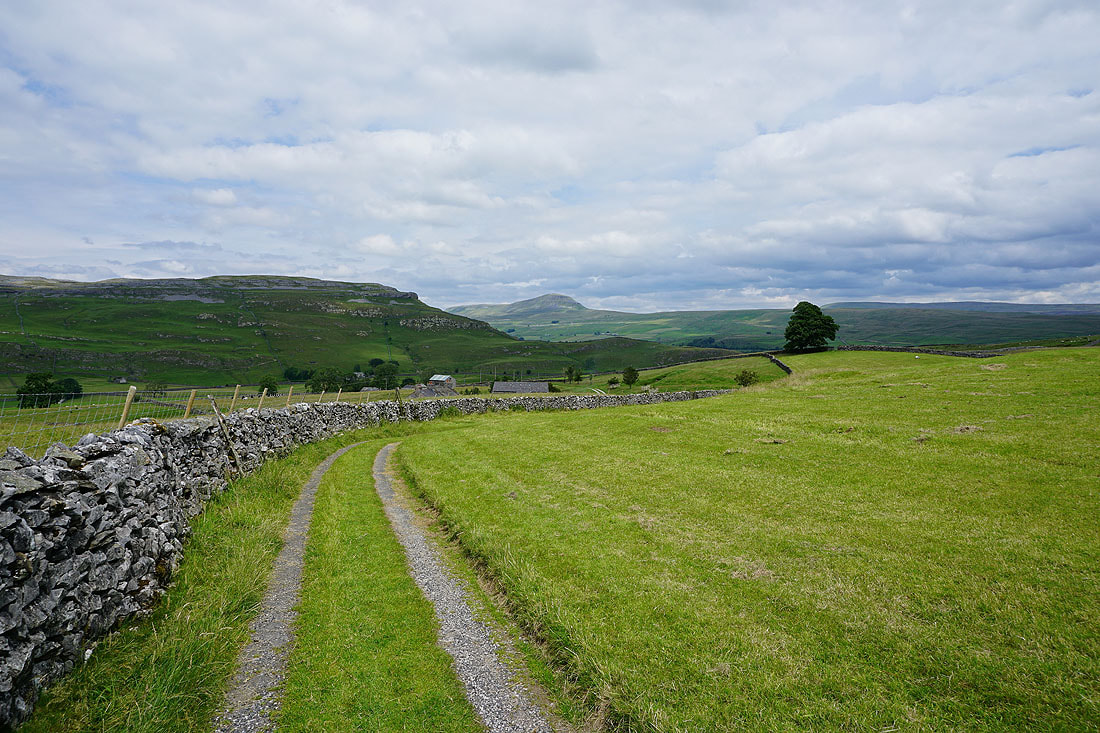
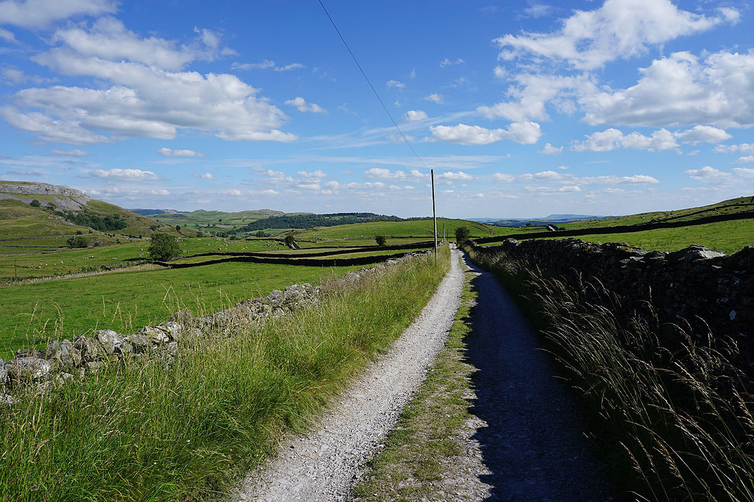
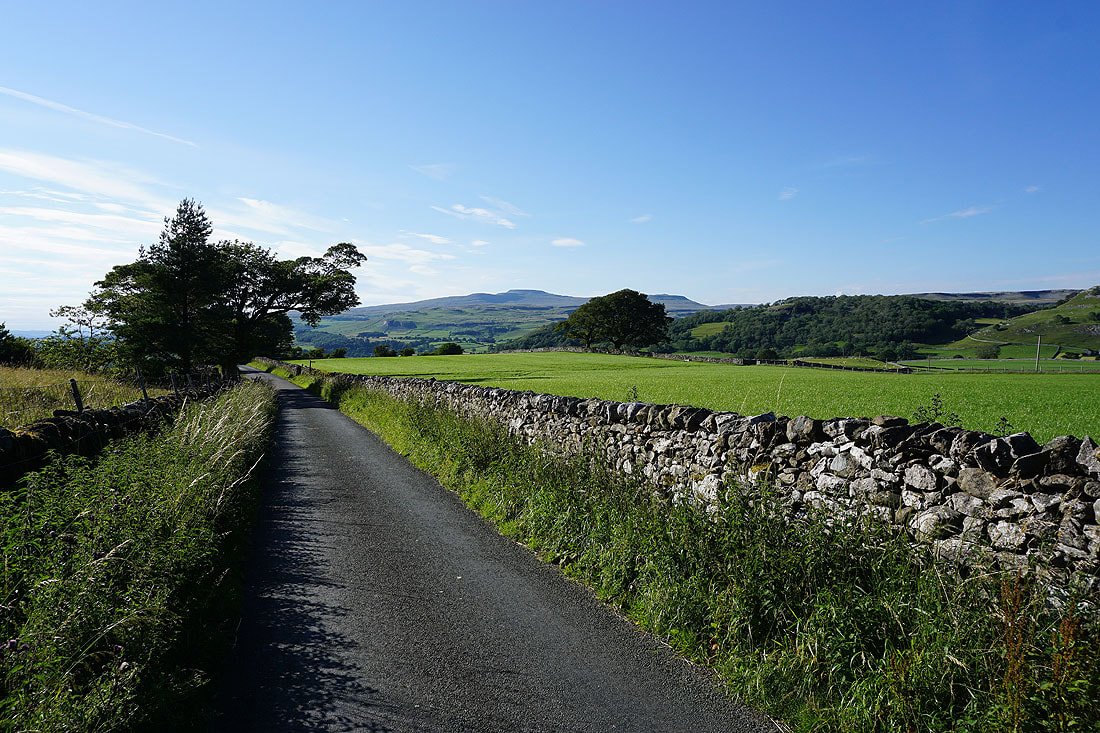
Looking back along Brunton Road with Ingleborough in the distance
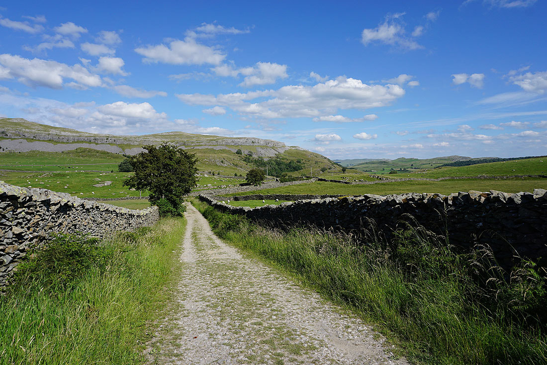
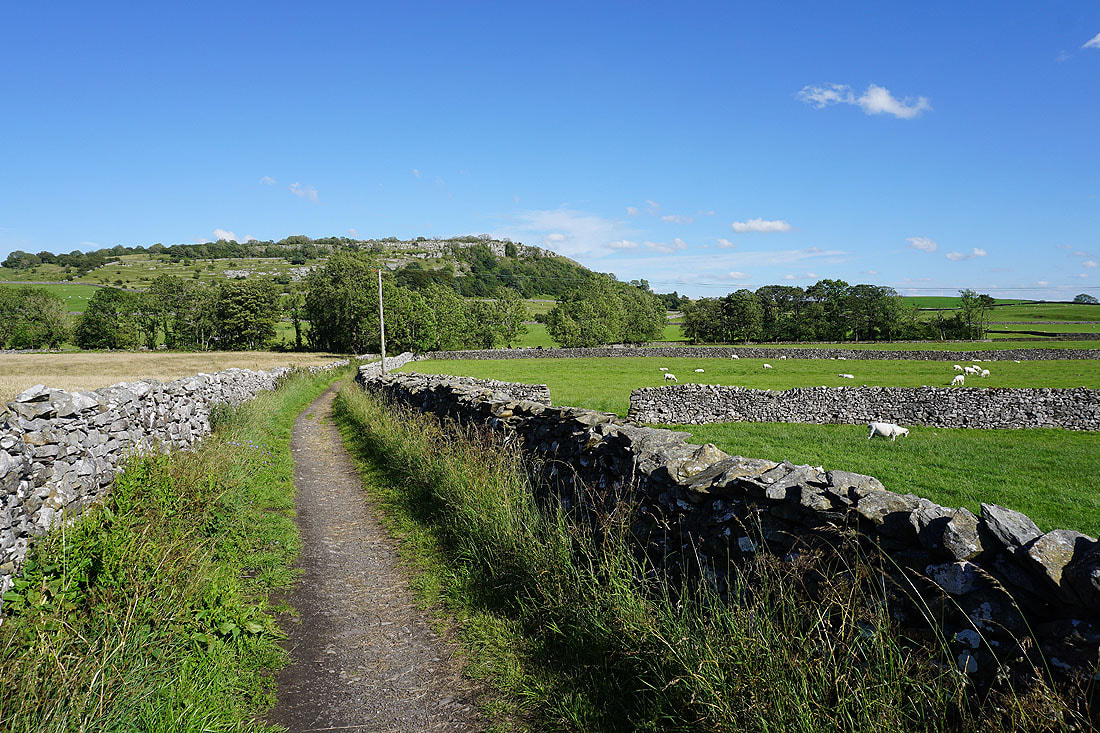
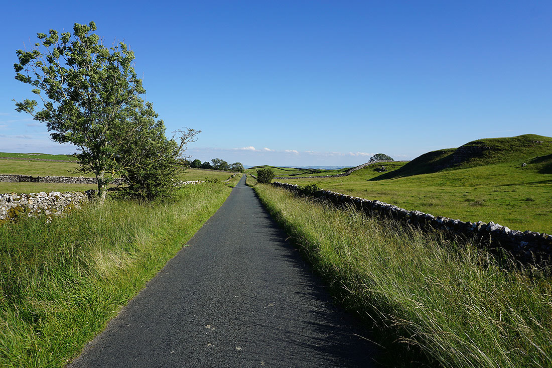
The final bit of the walk along Brunton Road to Buck Haw Brow, with the limestone knolls of Common Scars on the right
