12th June 2010 - Cross Fell
Walk Details
Distance walked: 12.4 miles
Total ascent: 2838 ft
OS map used: OL31 - North Pennines
Time taken: 7 hrs
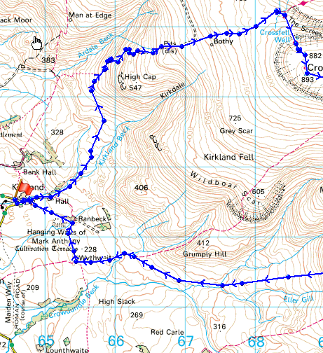
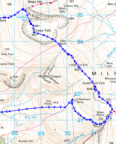
Route description: Kirkland-Kirkland Hall-Ardale-Ironwell Band-Cross Fell-Little Dun Fell-Great Dun Fell-Knock Ore Gill-Silverband Mine-Hanging Shaw-Crowdundle Beck-Wythwaite-Baron's Hill-Kirkland
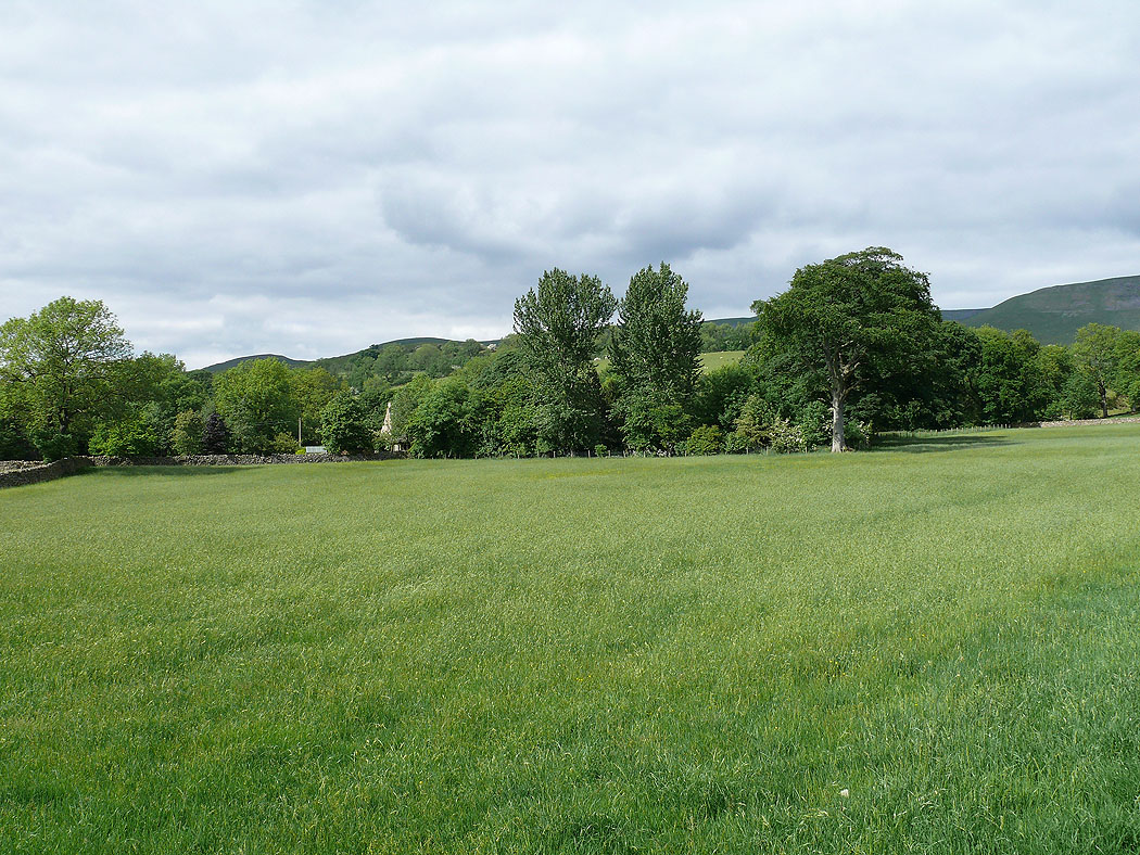
Cross Fell, Little and Great Dun Fells from Kirkland.
Total ascent: 2838 ft
OS map used: OL31 - North Pennines
Time taken: 7 hrs
Route description: Kirkland-Kirkland Hall-Ardale-Ironwell Band-Cross Fell-Little Dun Fell-Great Dun Fell-Knock Ore Gill-Silverband Mine-Hanging Shaw-Crowdundle Beck-Wythwaite-Baron's Hill-Kirkland
Cross Fell, Little and Great Dun Fells from Kirkland.
Route map
|
|
© Crown copyright. All rights reserved. License number PU 100034184.
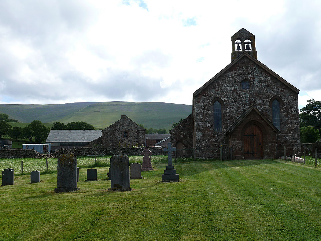
St. Lawrence's church, Kirkland
On the track beside Kirkdale Beck
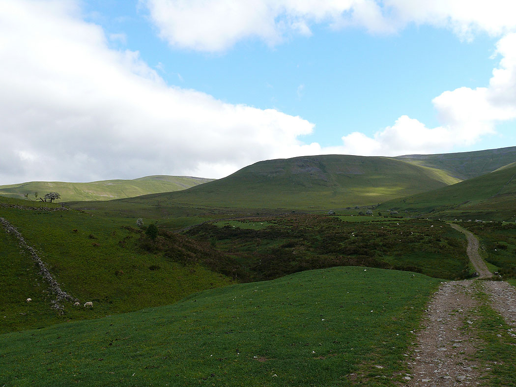
High Cap. The path runs under High Cap and into the valley of Ardale on the left.
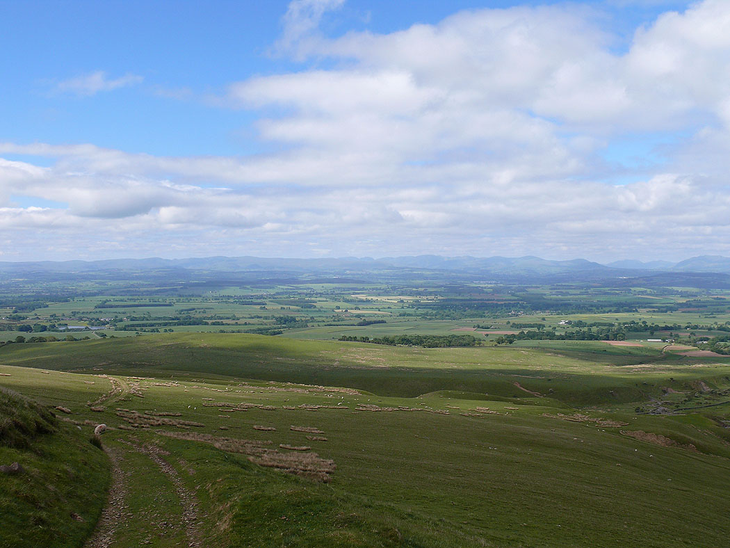
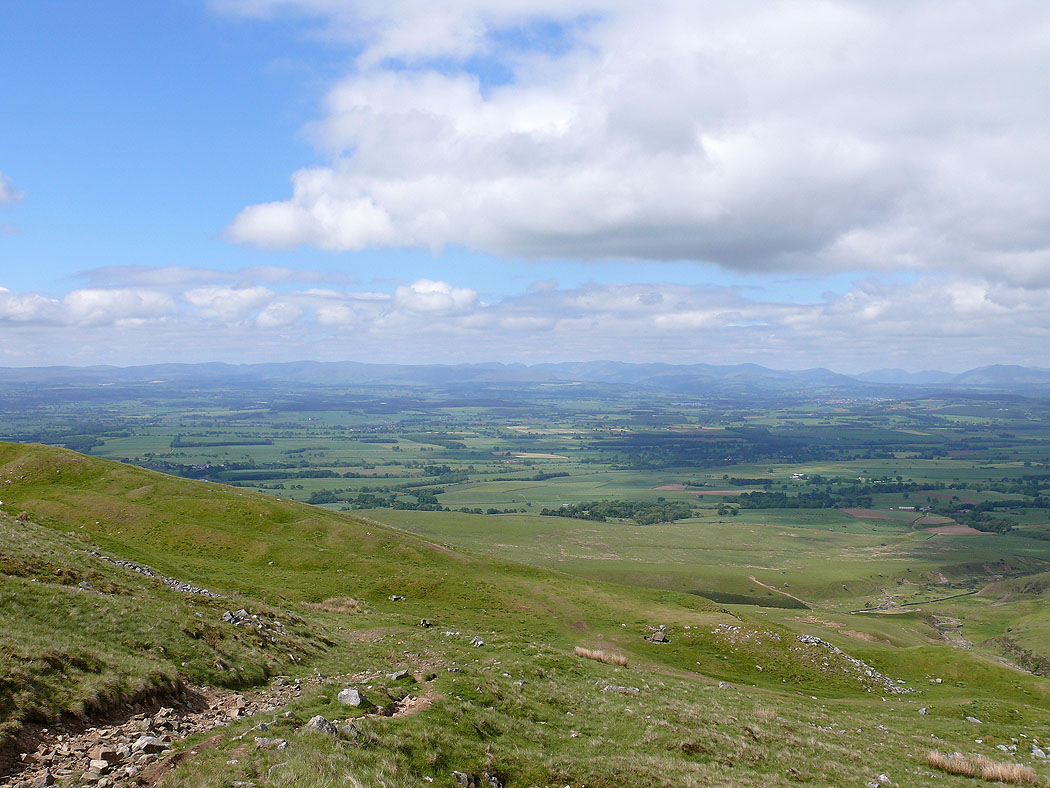
Views across the Vale of Eden to the Lake District fells....
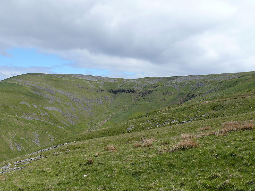
Black Doors at the head of Ardale
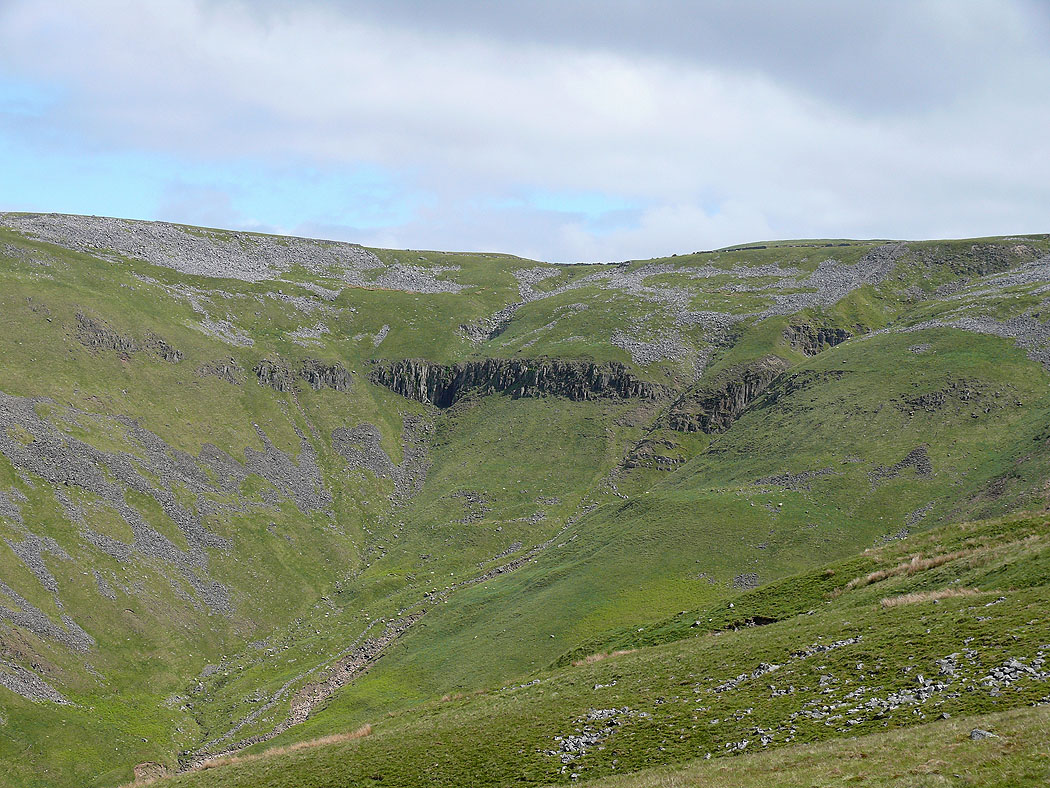
Zooming in
A couple of shots back to the Lake District fells..
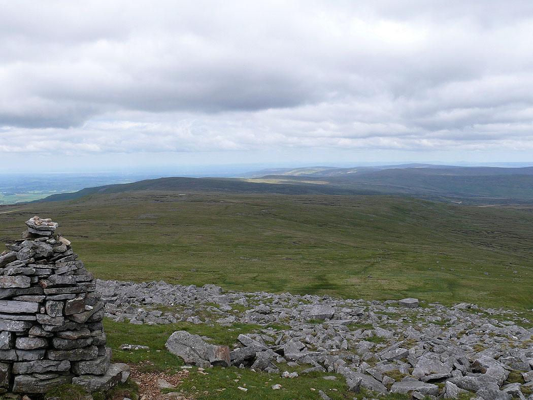
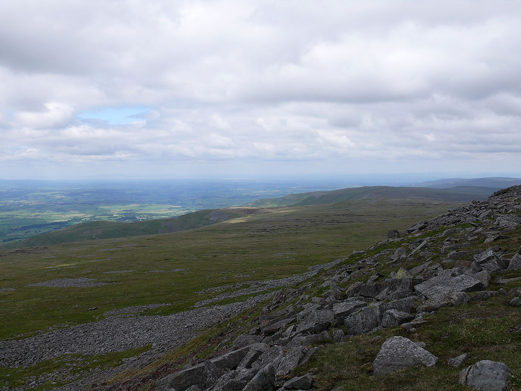
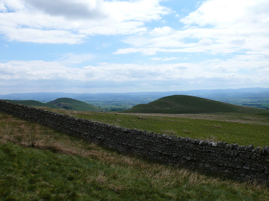
A few shots looking north from a cairn on the northern edge of Cross Fells summit plateau...
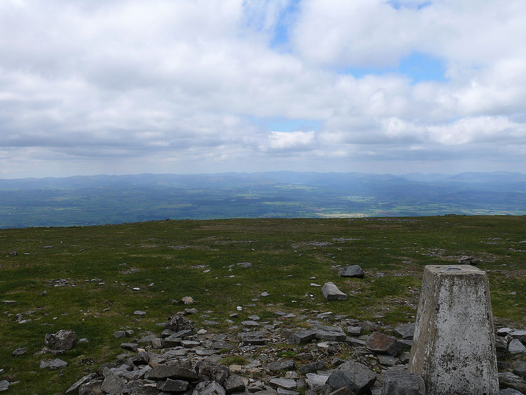
On Cross Fell
On the western edge of the summit plateau. Looking south along the Pennines.
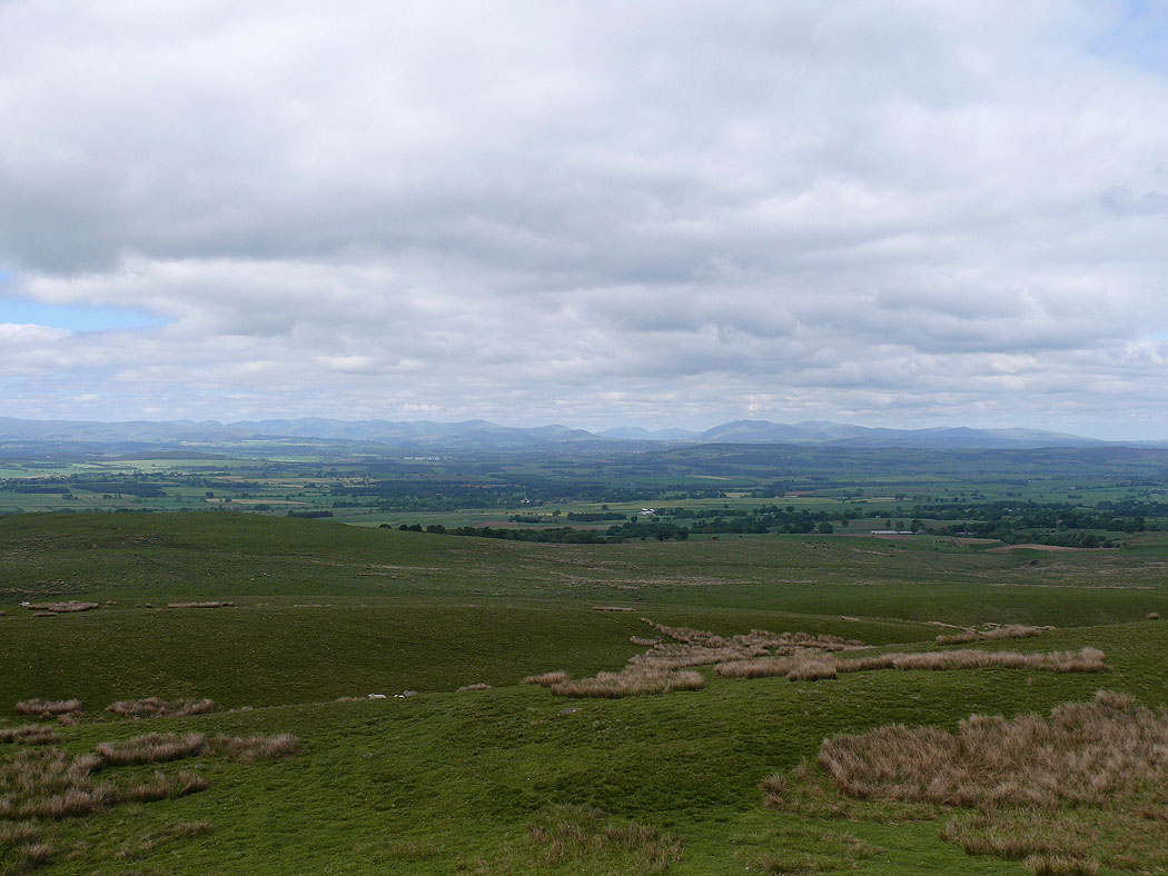
Views to the Lake District..
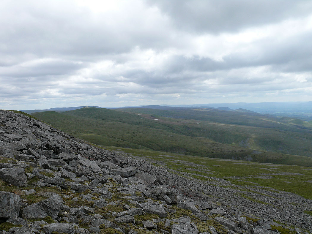
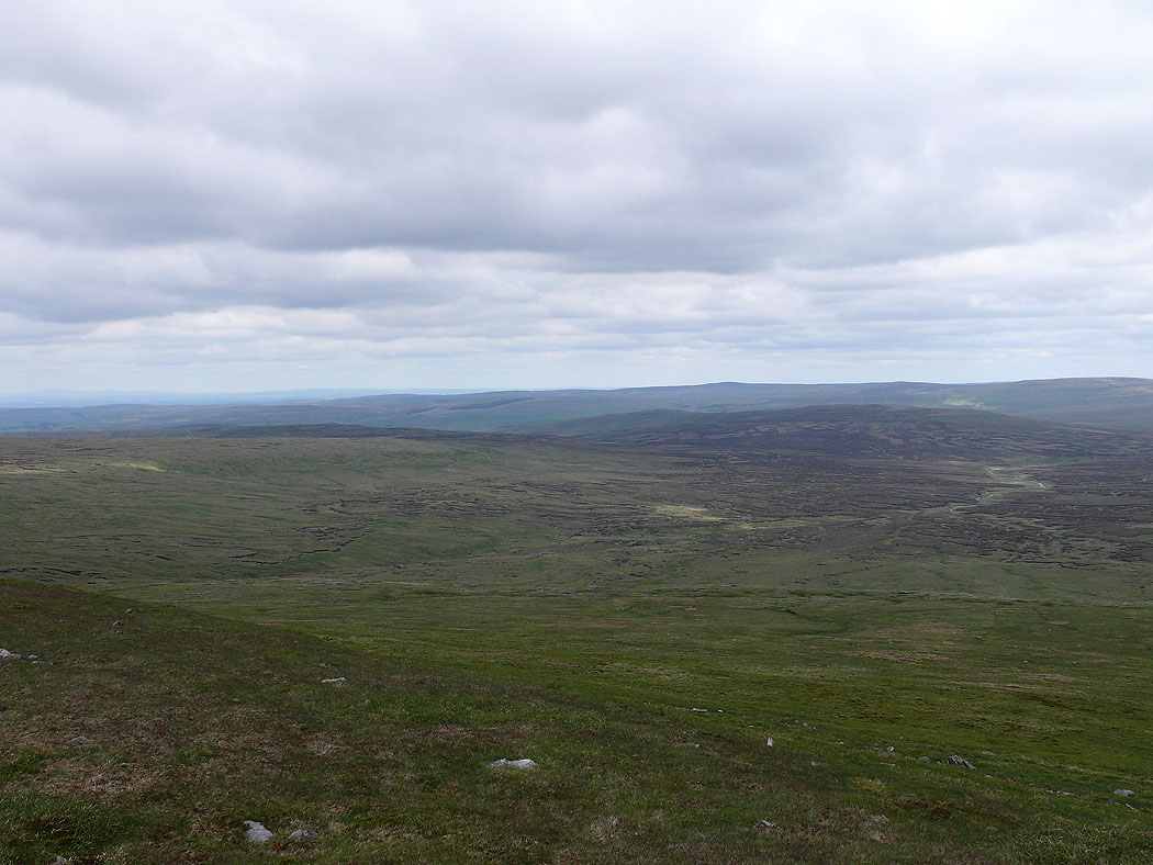
Looking along the Pennines to the north
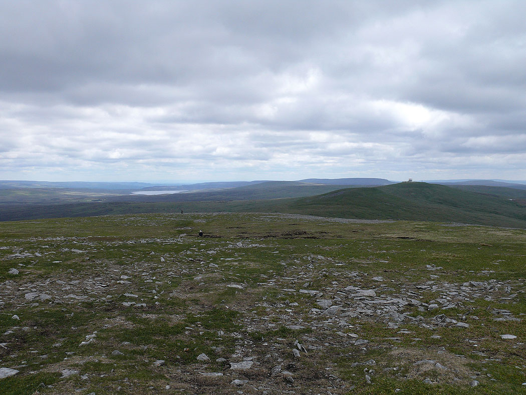
Heading for Little and Great Dun Fells. The stretch of water on the left is Cow Green Reservoir.
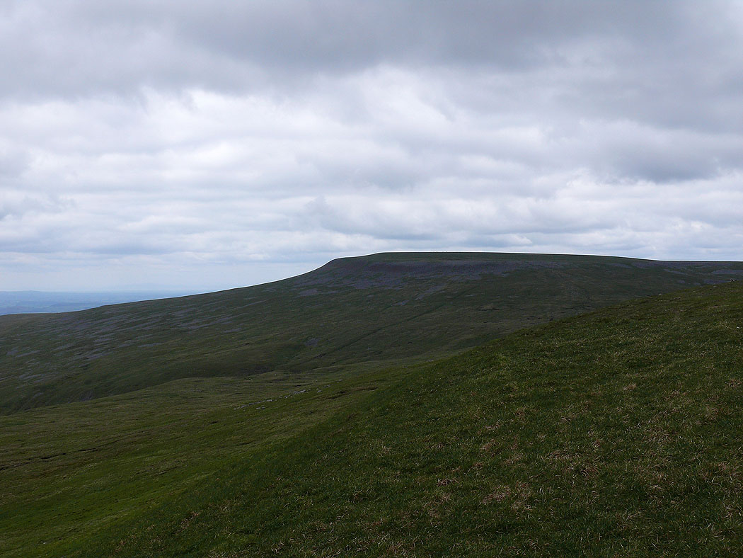
Cross Fell from Little Dun Fell
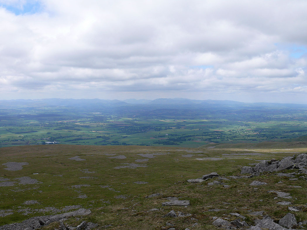
View across to the Lake District
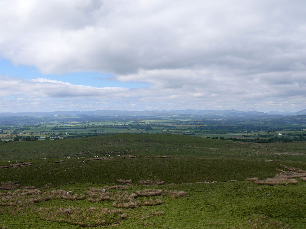
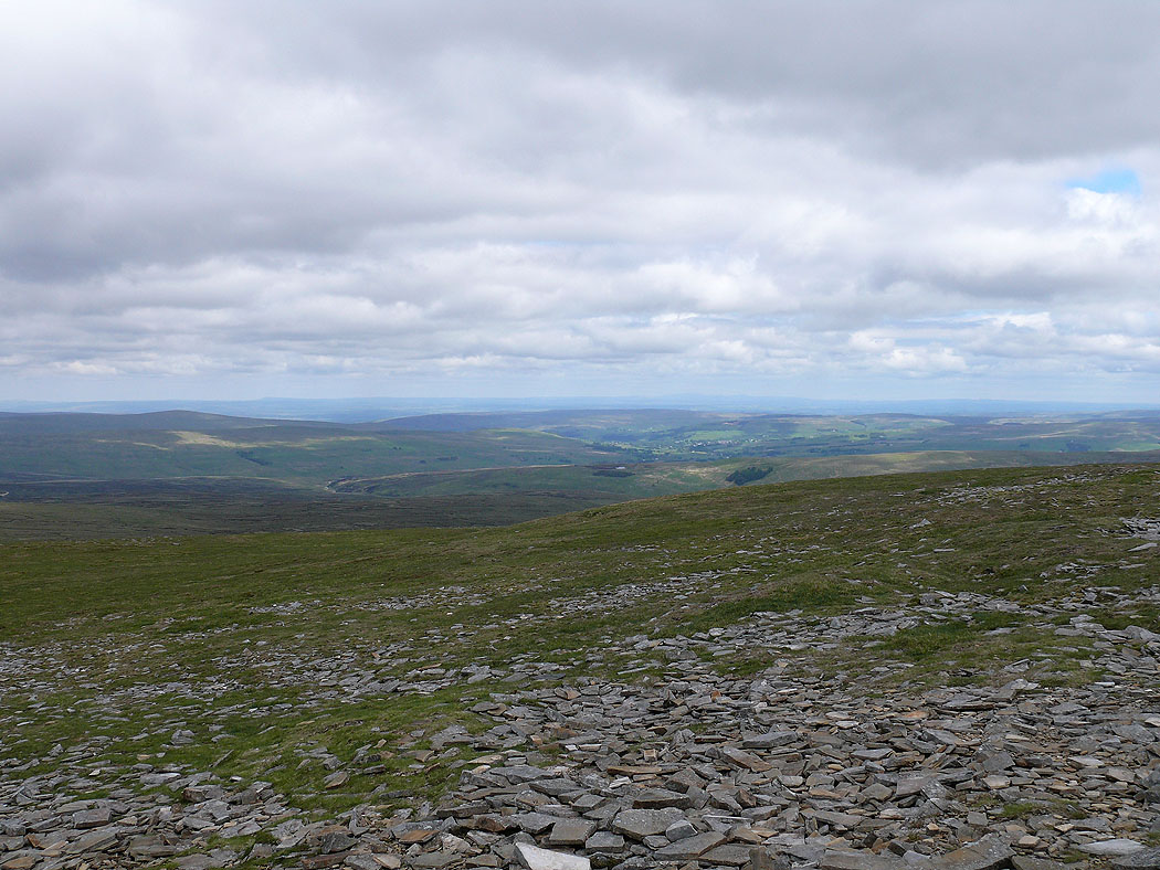
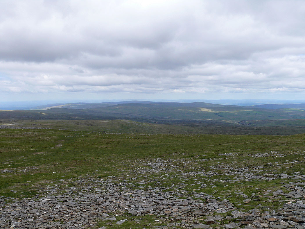
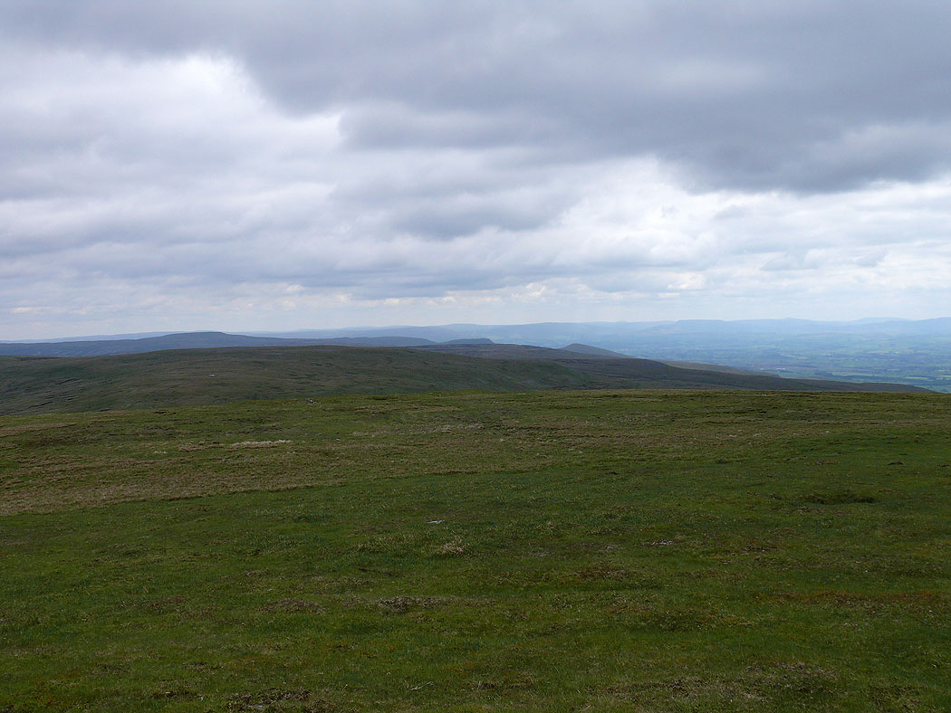
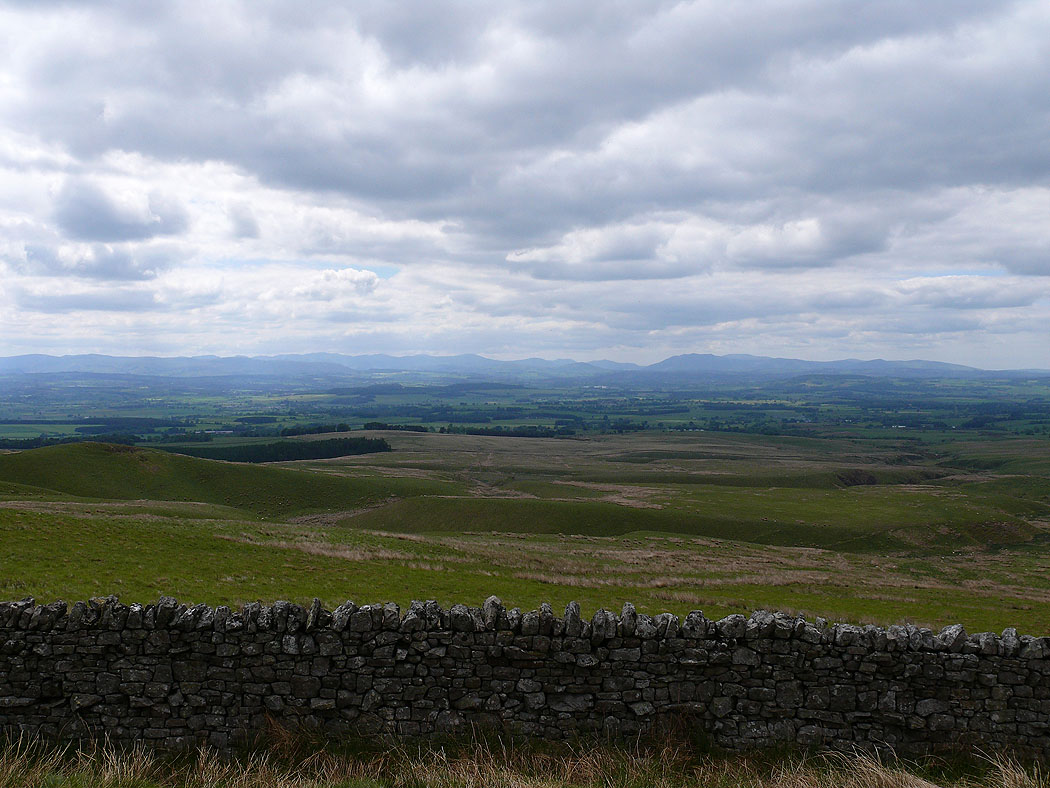
A North Pennine view
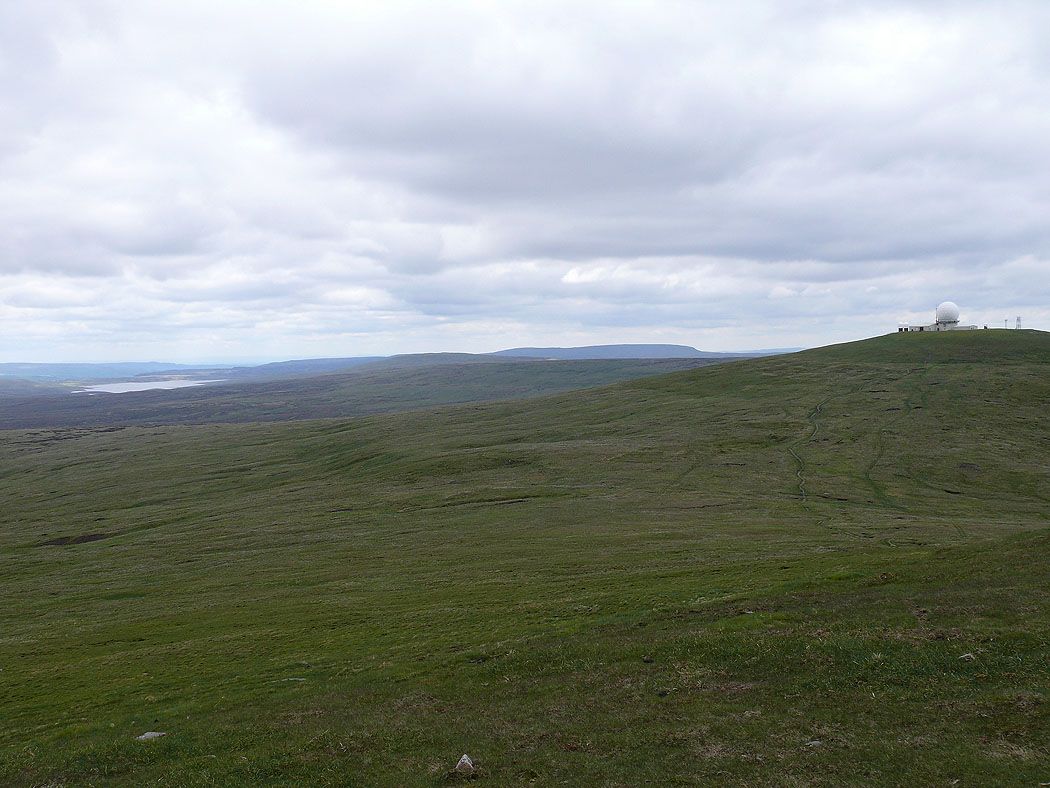
Cow Green reservoir and Great Dun Fell. The fell in the distance in the middle of the picture is Mickle Fell.
On Great Dun Fell. I avoided taking a picture of the radar station.
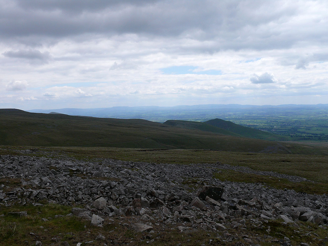
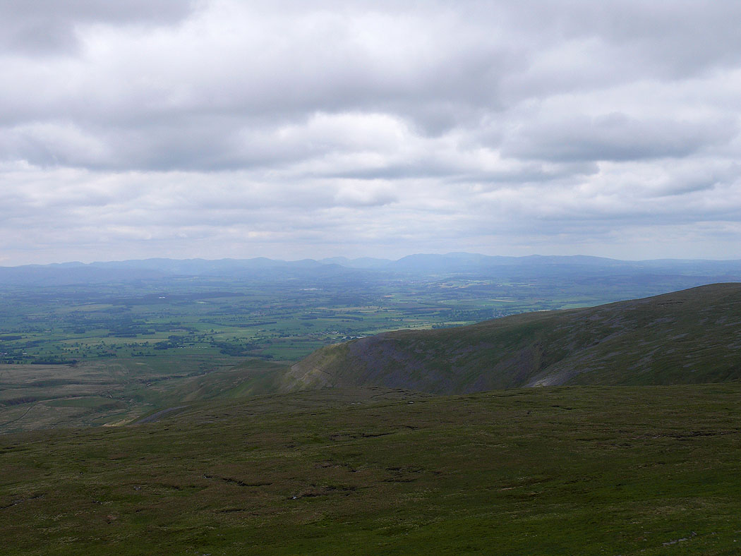
From Great Dun Fell I made my way down the access road and then along a track that leads to Silverband Mine. A view southwest to Wild Boar Fell and the Howgills. The pointed hill is Knock Pike.
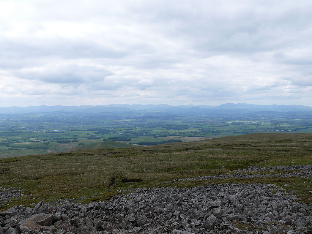
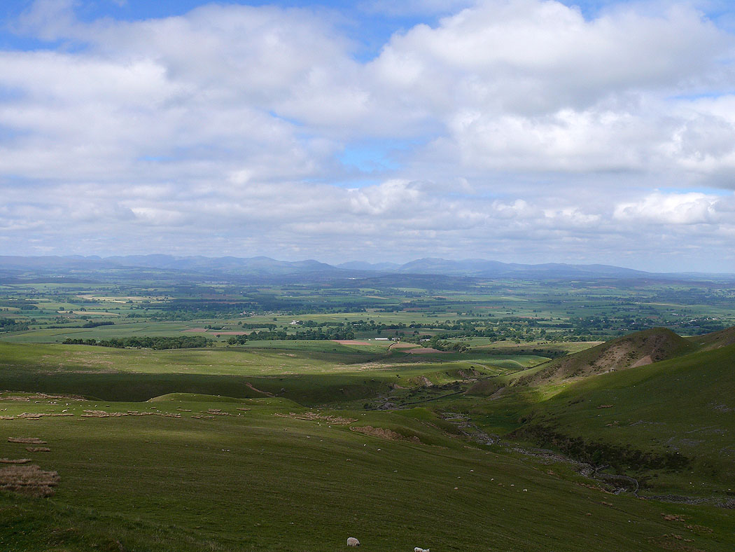
A distant Lake District
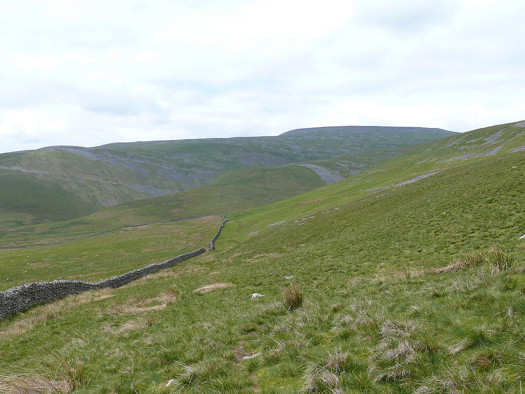
Wildboar Scar and Cross Fell. I followed the wall across the side of the hill and then down to the left.
The northern half of the Lake District..
..and looking further south
Knock Pike and Burney Hill
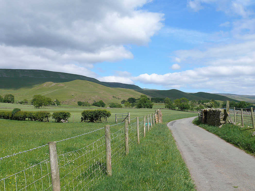
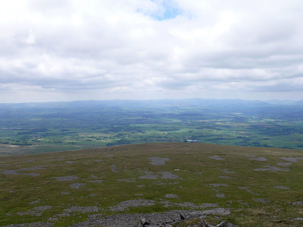
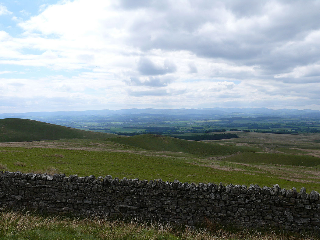
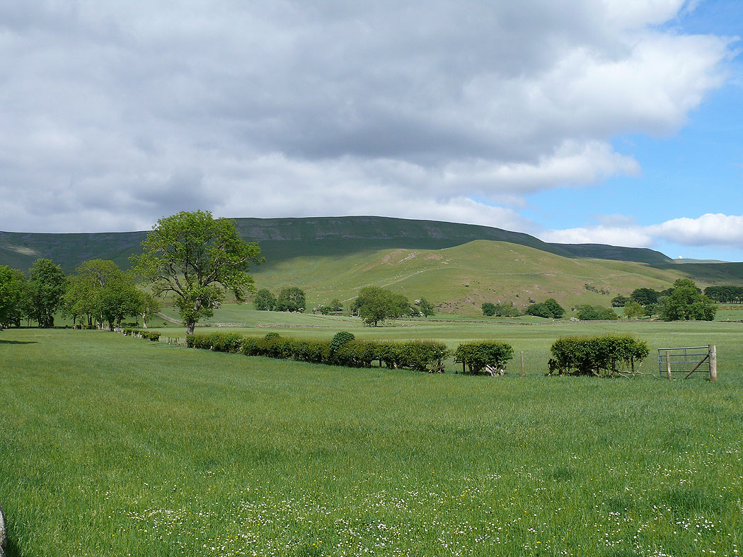
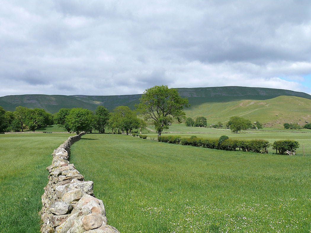
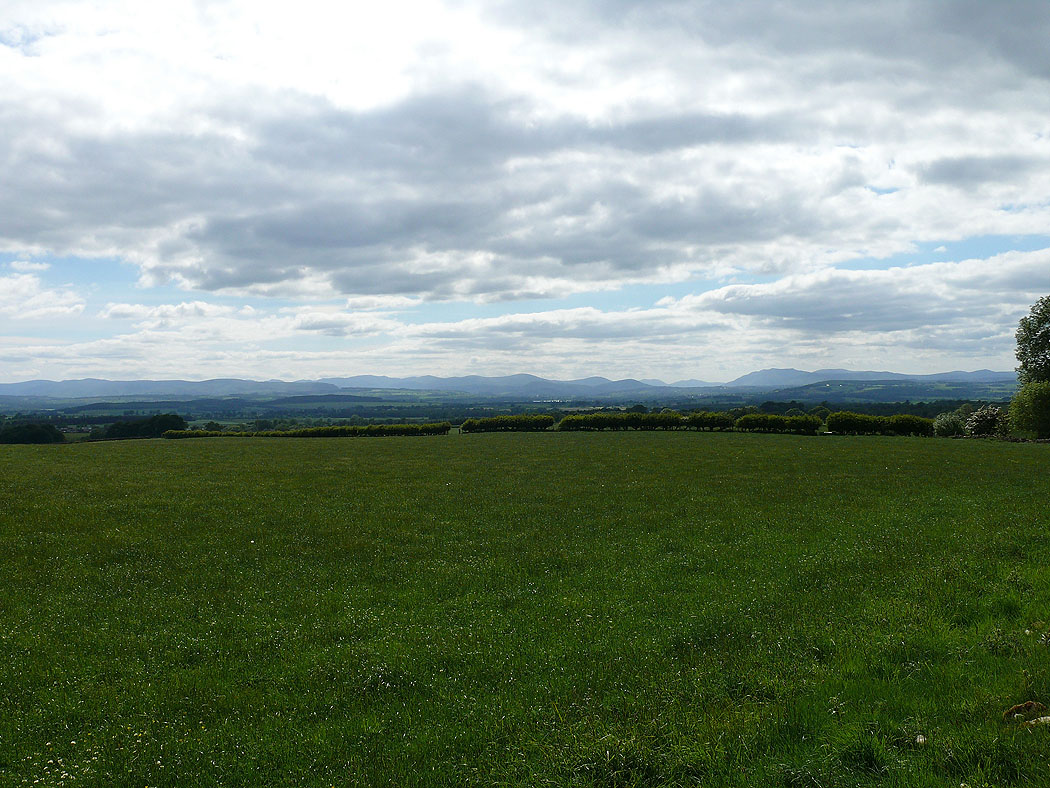
On the bridleway from Wythwaite back to Kirkland and some pictures across the fields to the Pennines....
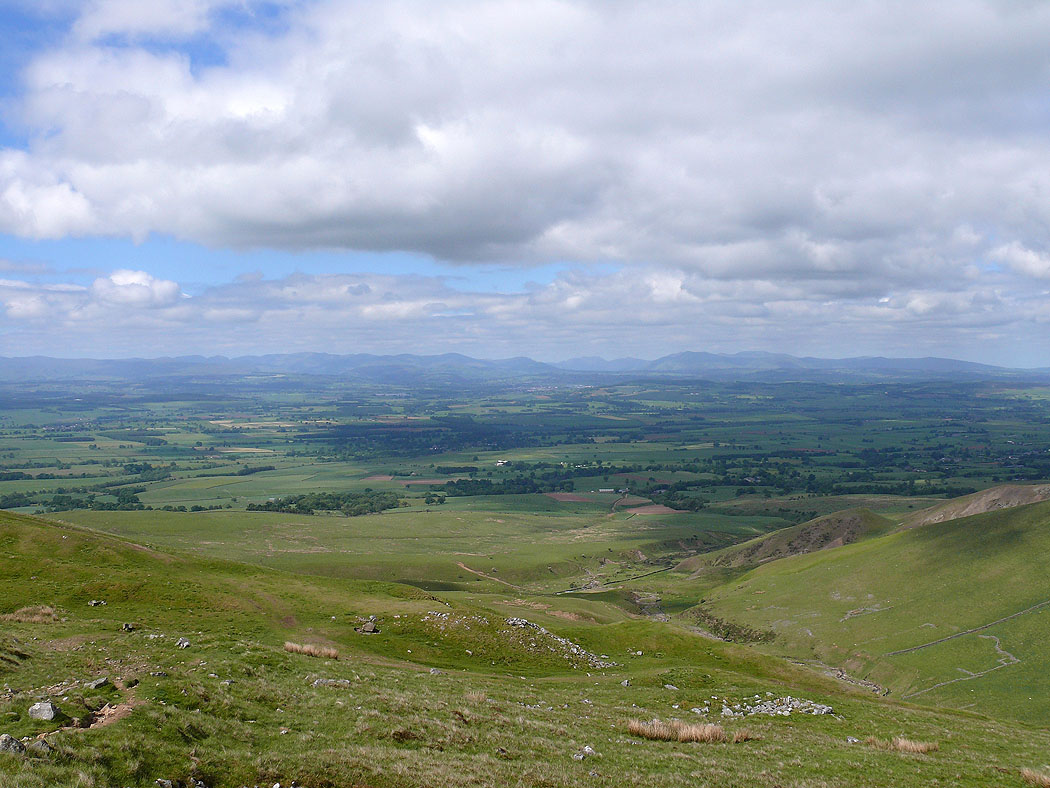
One last picture across the Vale of Eden to the Lake District