12th June 2021 - Pendle Hill
Walk Details
Distance walked: 12.6 miles
Total ascent: 1881 ft
OS map used: OL41 - Forest of Bowland & Ribblesdale and 287 - West Pennine Moors
Time taken: 6.5 hrs
Route description: Pendleton-Pendleton Road-Wiswell-Wiswell Moor-Wiswell Moor Houses-The Rough-Nick of Pendle-Pendleton Moor-Deerstones-Ogden Clough-Pendle Hill-Downham Moor-Worston Moor-Mearley Moor-Pendleton Moor-Nick of Pendle-Wymondhouses-Pendleton
It's been a long eight months since my last walk on Pendle Hill, so a visit was just a little overdue. During the lockdown it was too far to walk to from home and when tiered restrictions were in place I thought that it would be too busy for me to feel comfortable being there. There's a fine summer's day forecast for my return, and since it's going to be so nice I decided to try a new route, starting from Pendleton. As well as taking in Pendle Hill, I took in the moorland above Wiswell and to the south of the Nick of Pendle, which made the route that I worked out long enough to be a proper full day's walk, and with lots of warm sunshine and great visibility for taking in the views it was a thoroughly enjoyable one. Definitely a route that I'll do again.
After parking in Pendleton I walked along Pendleton Road to Wiswell, before taking Moor Side Lane on the left which I walked up to reach the footpath up onto Wiswell Moor. I then made my way across Wiswell Moor and down to the bridleway past Wiswell Moor Houses, which I took and followed northeast until I could leave it on the left and enter access land to make my way up to the trig point on The Rough. After taking in the view I followed the path northeast to the Nick of Pendle, crossed the road, and then made my way up onto Pendleton Moor and to the crags of Deerstones. I then returned to the path on Pendleton Moor and followed it north into and up Ogden Clough, and then up the flagged path to the trig point on the summit. From the trig point I walked north to cross the wall onto Downham Moor, then followed the path west across Downham Moor, then southwest to the Scout Cairn on Worston Moor, and then southwest across Mearley Moor to the Clayton-le-Moors Harriers cairn. I left Mearley Moor by taking a path southeast across Howcroft Brook and onto Pendleton Moor, and I then made my way down Pendleton Moor to the Nick of Pendle, where I took the path down to Wymondhouses once I'd crossed the road. Approaching Wymondhouses I took a footpath on the right that bypasses the farm and then followed it down through fields and back to Pendleton.
Route map
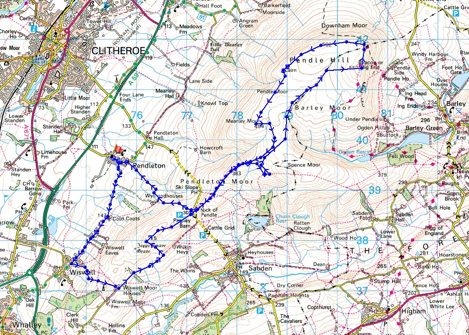
© Crown copyright. All rights reserved. License number PU 100034184.
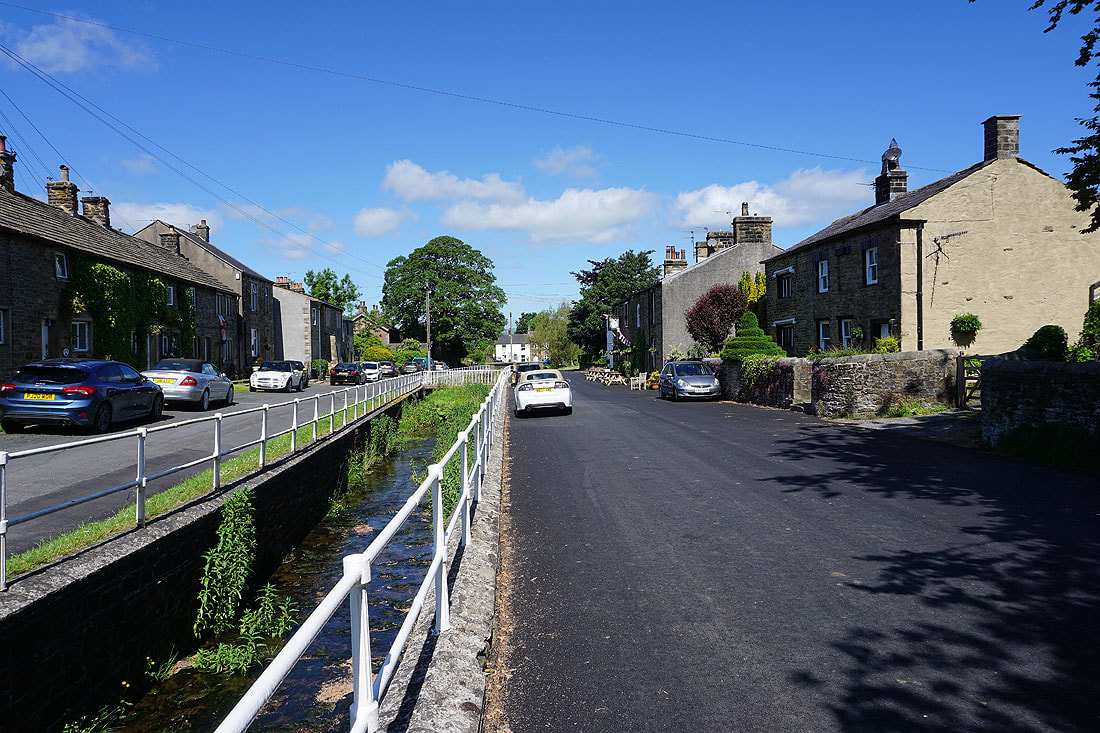
It's a fine summer's morning in Pendleton
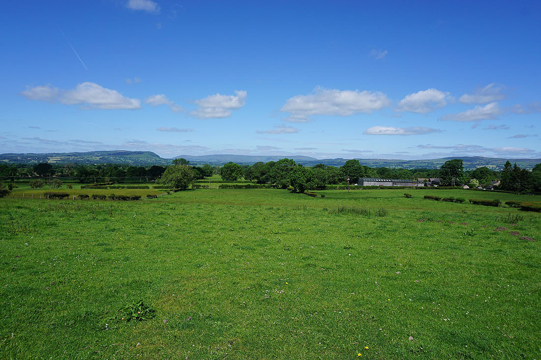
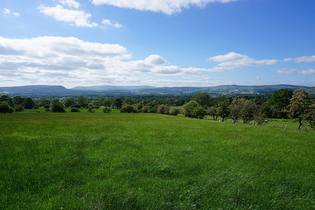
Looking across the Ribble Valley to Longridge Fell, Parlick, Fair Snape Fell, Totridge and Waddington Fell as I walk south along Pendleton Road to Wiswell
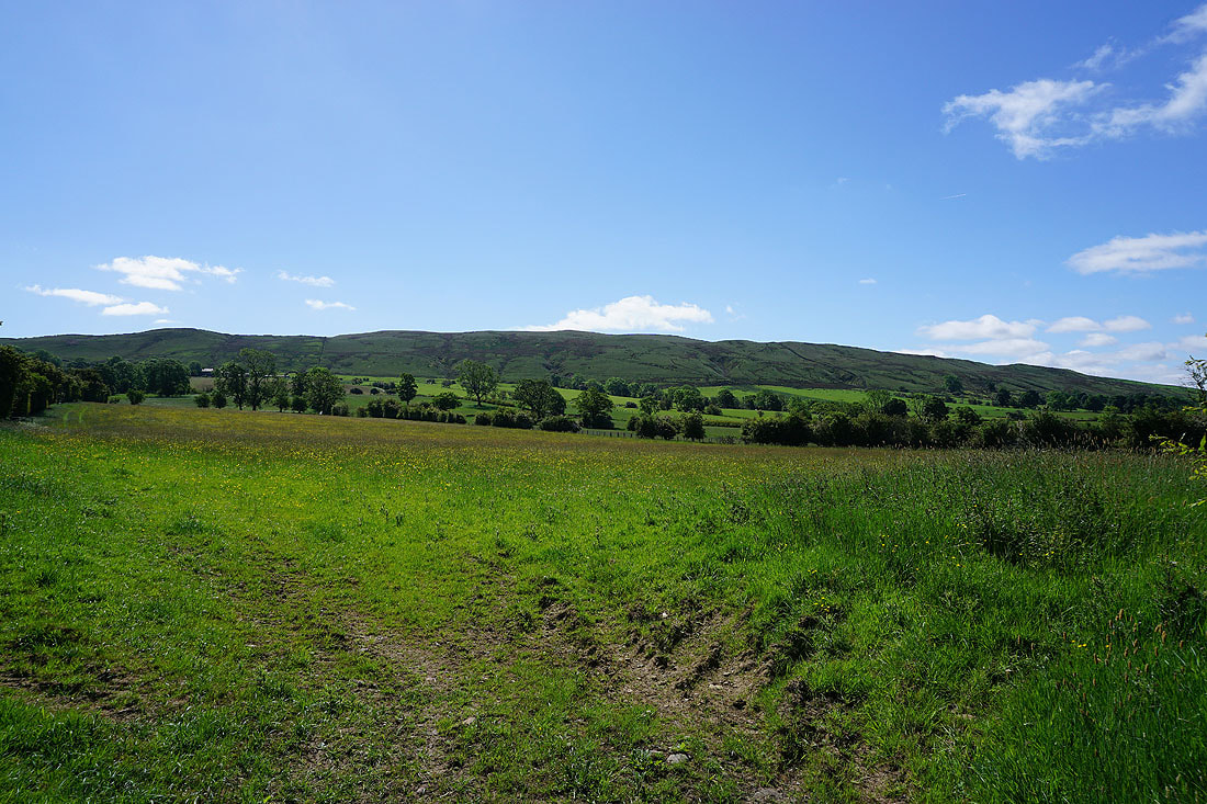
The northern slopes of The Rough
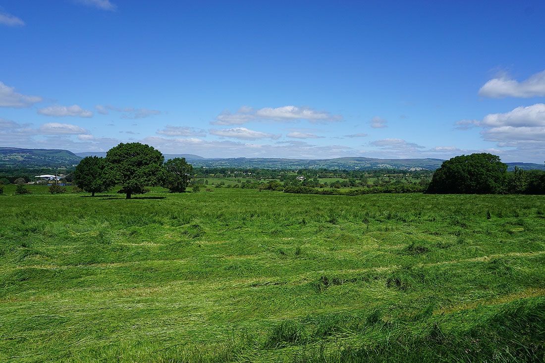
Making hay while the sun shines. The grass is being cut in a field that I'm walking past.
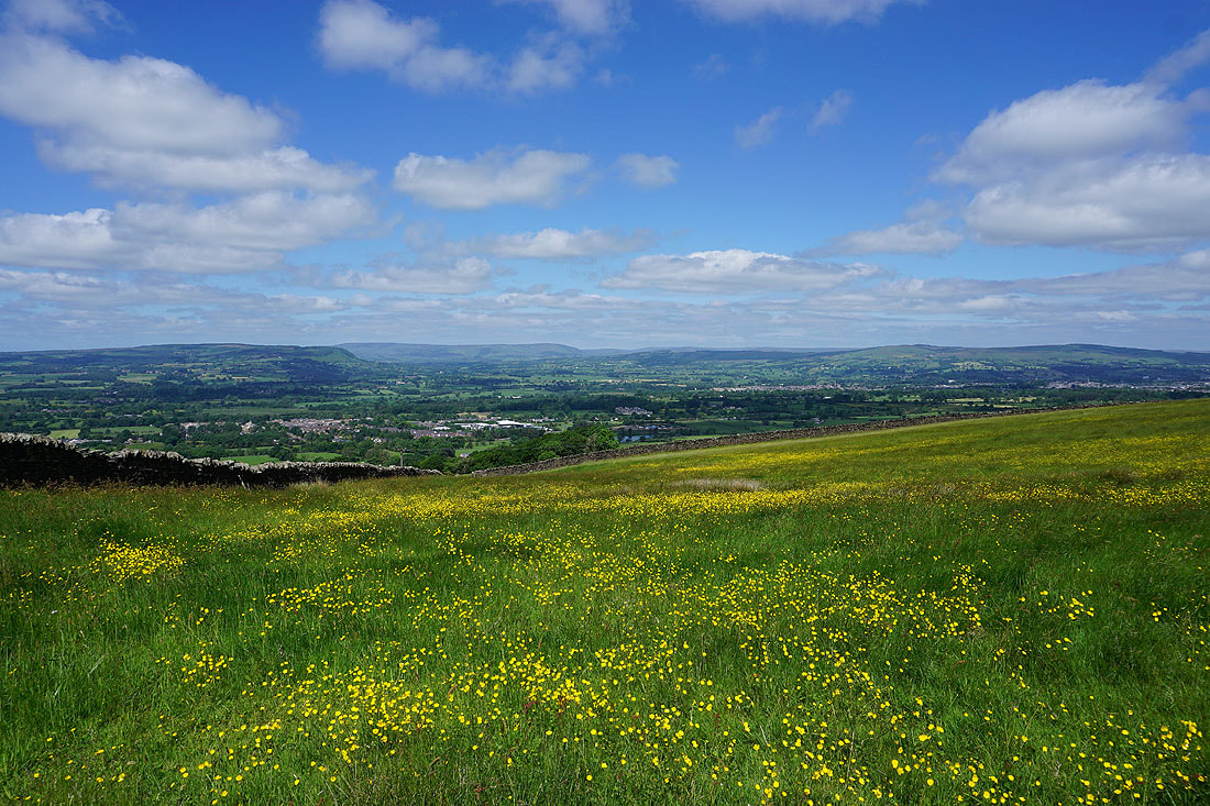
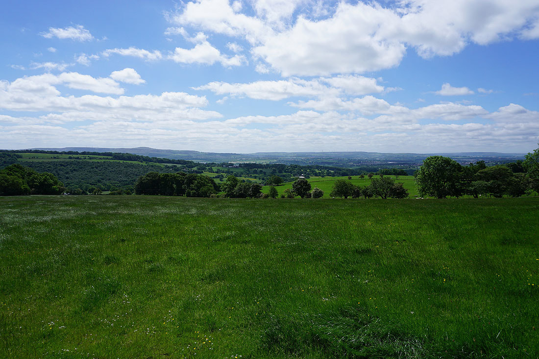
The view across the Ribble Valley to the Forest of Bowland as I head up onto Wiswell Moor..
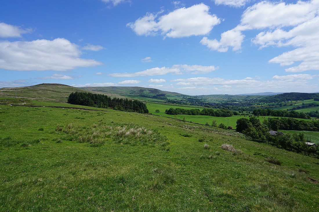
The Rough, Spence Moor, and the valley of Sabden Brook from Wiswell Moor
Great Hameldon and the West Pennine Moors in the distance as I reach the bridleway past Wiswell Moor Houses
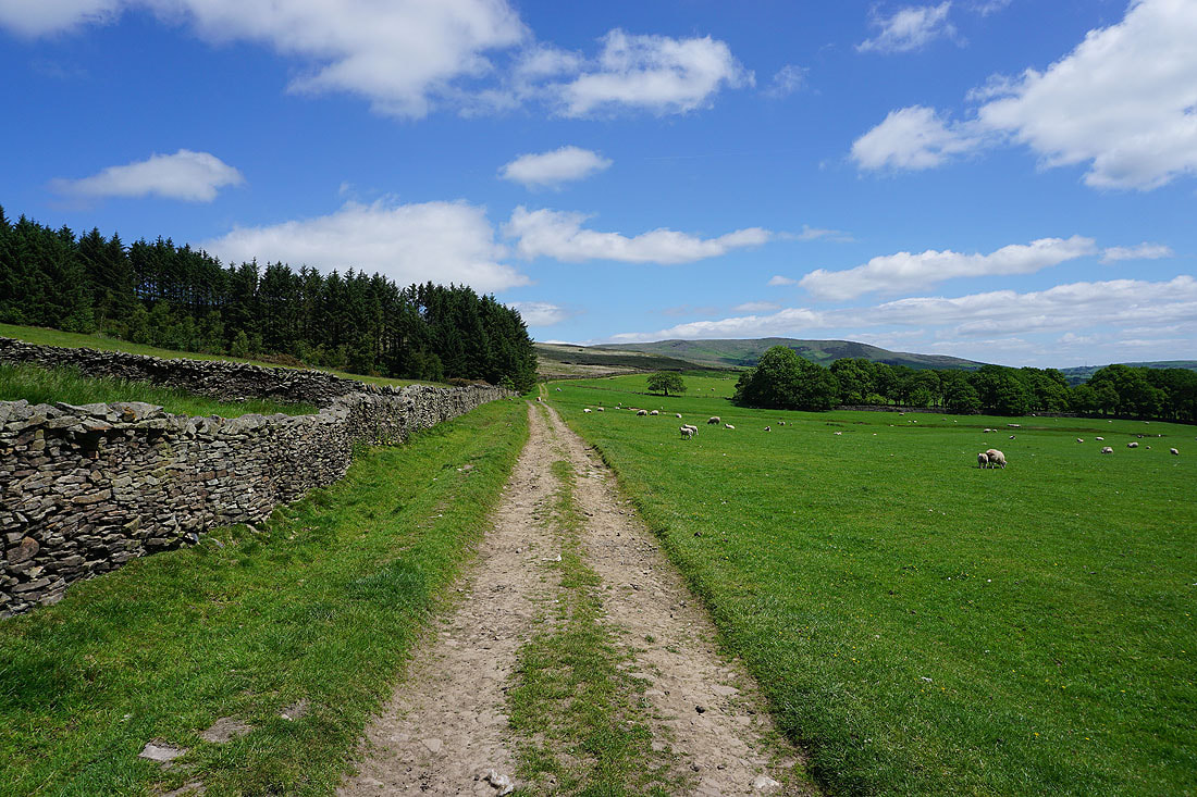
Following the bridleway northeast from Wiswell Moor Cottages to the Nick of Pendle
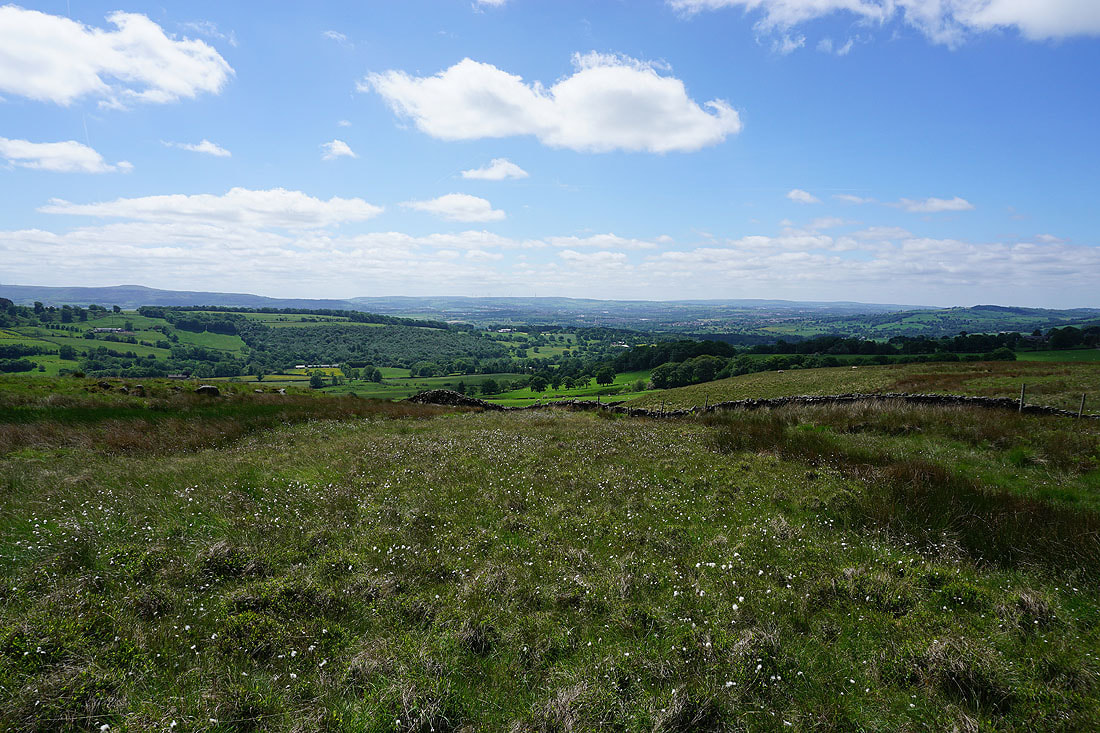
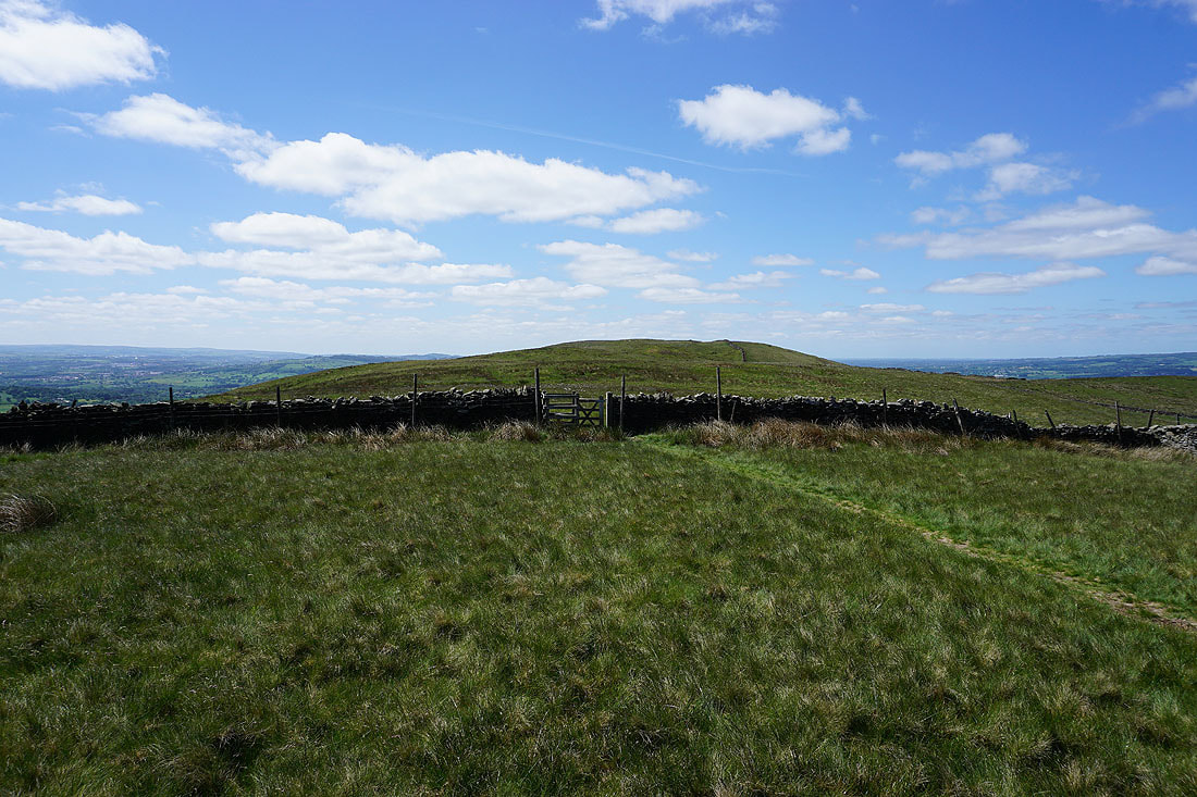
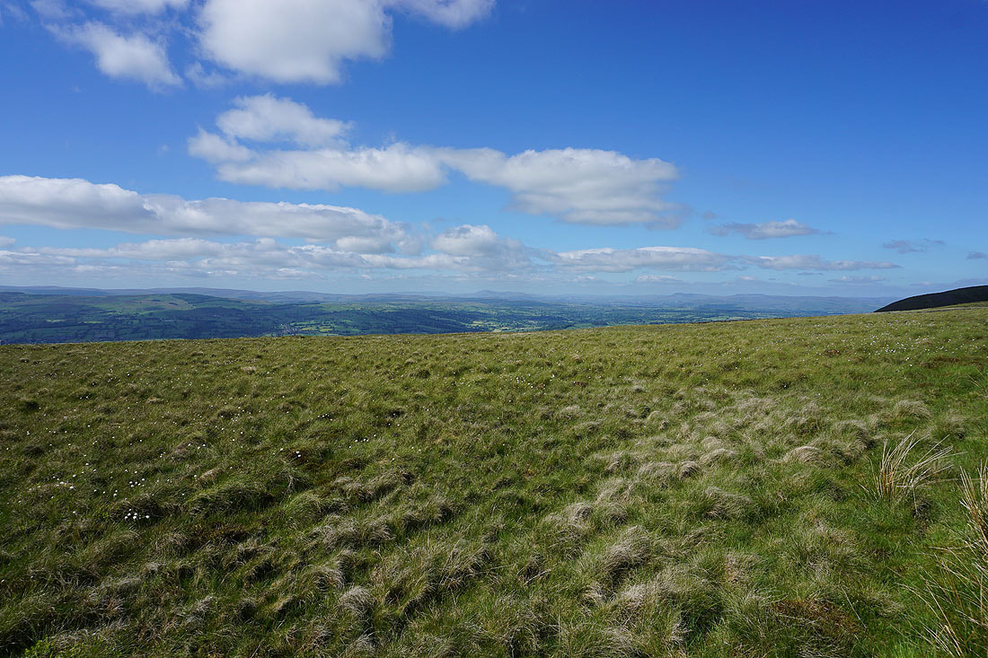
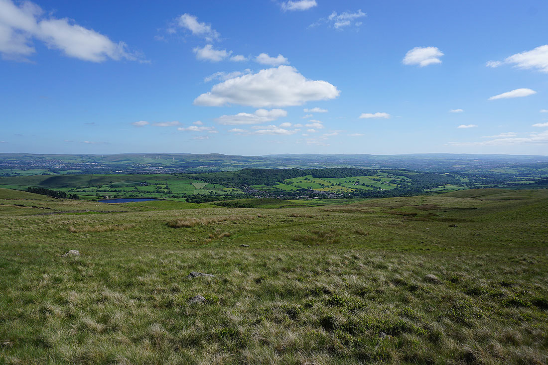
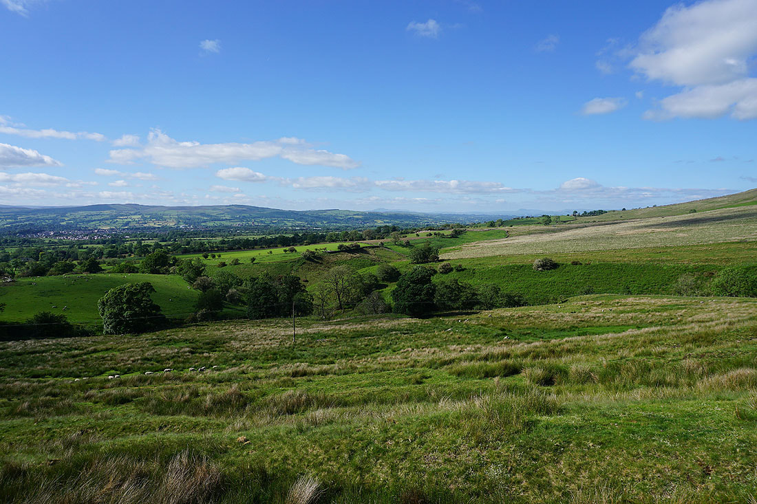
Looking across the valley of Sabden Brook to Read Heights with Great Hameldon and the West Pennine Moors in the distance as I head up onto the moorland of The Rough
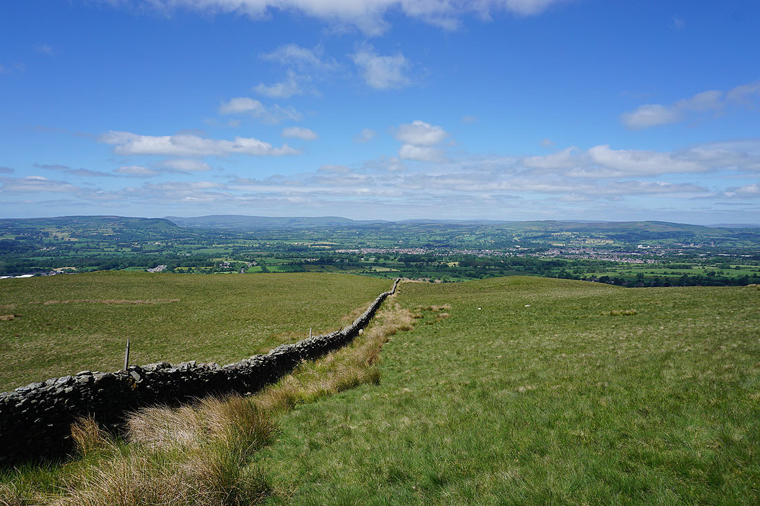
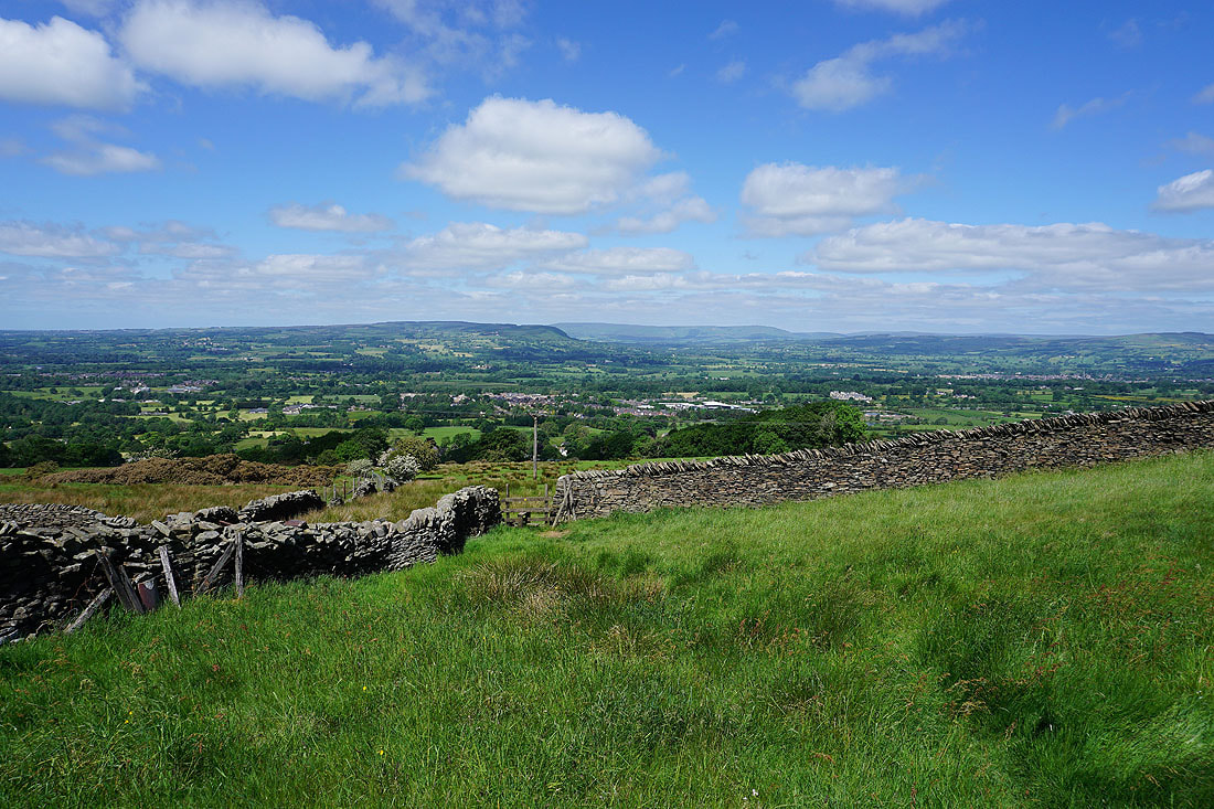
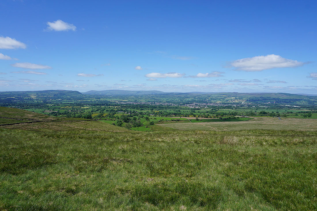
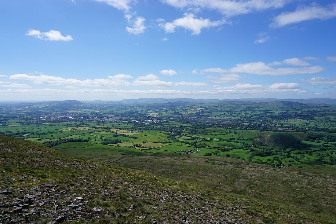
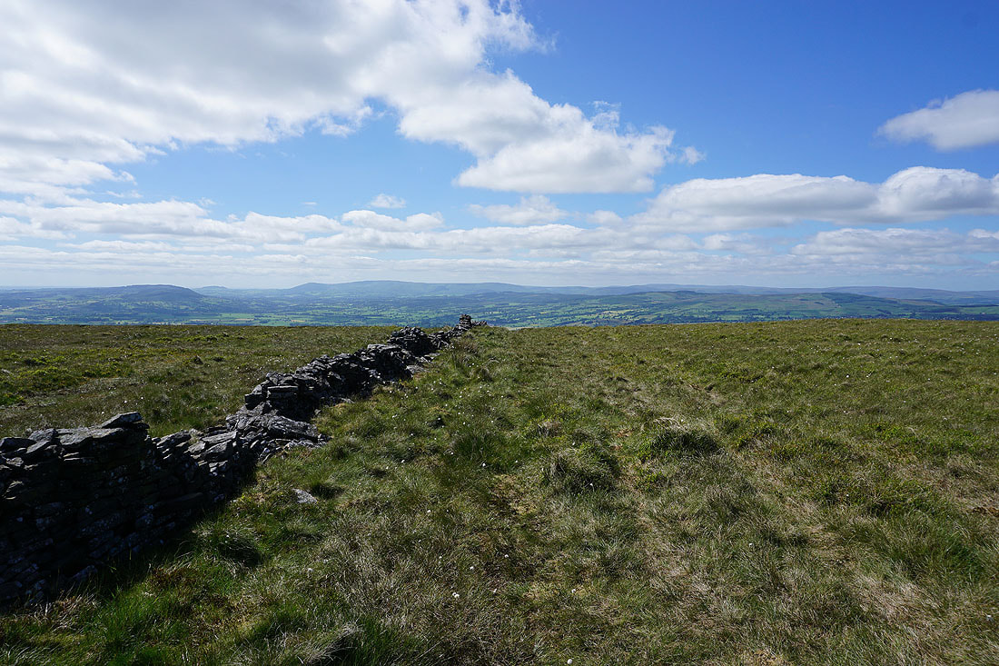
As I reach the top of the moor I get a view across the Ribble Valley and Clitheroe to the Forest of Bowland..
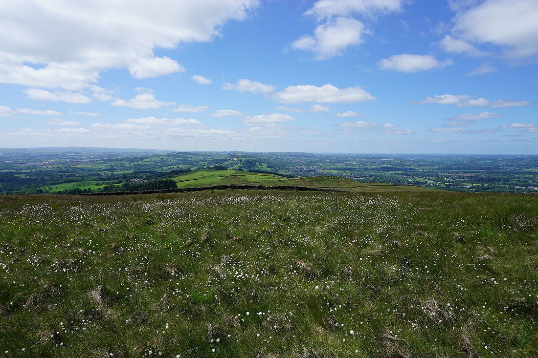
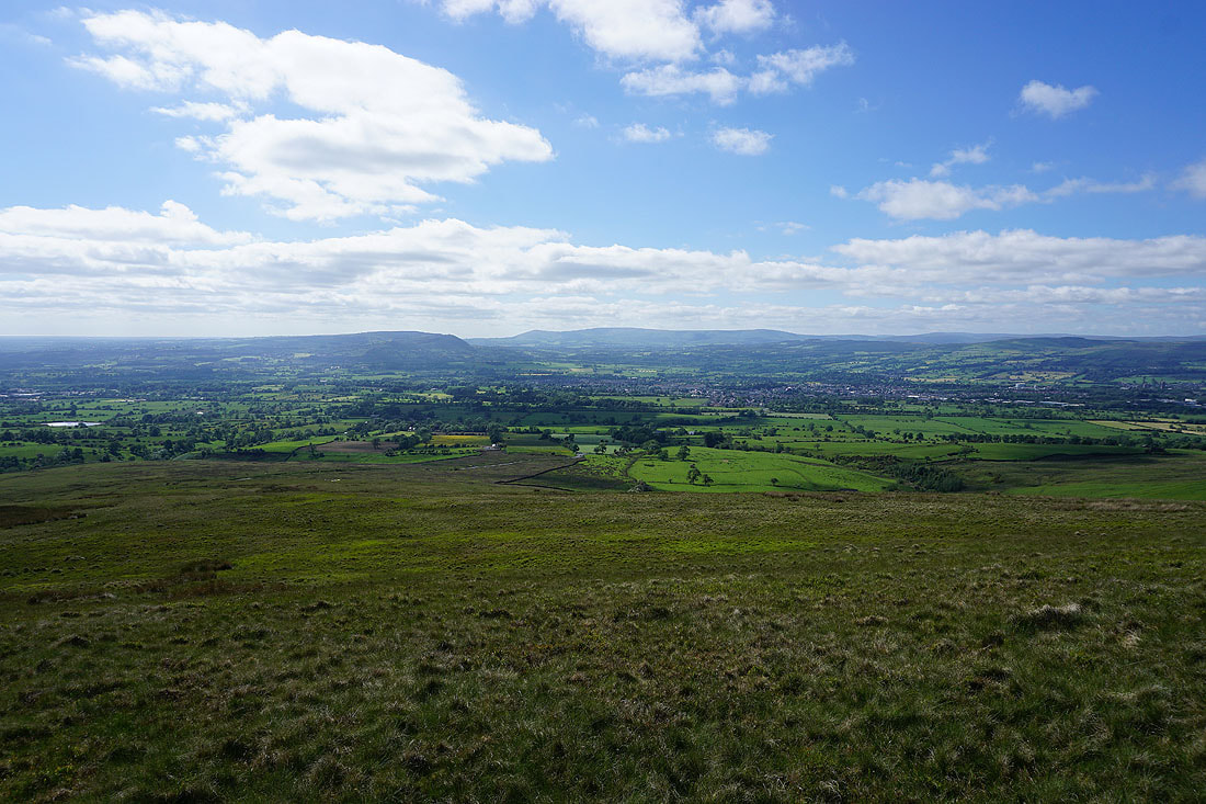
..and southwest to Whalley Nab and Wilpshire Moor
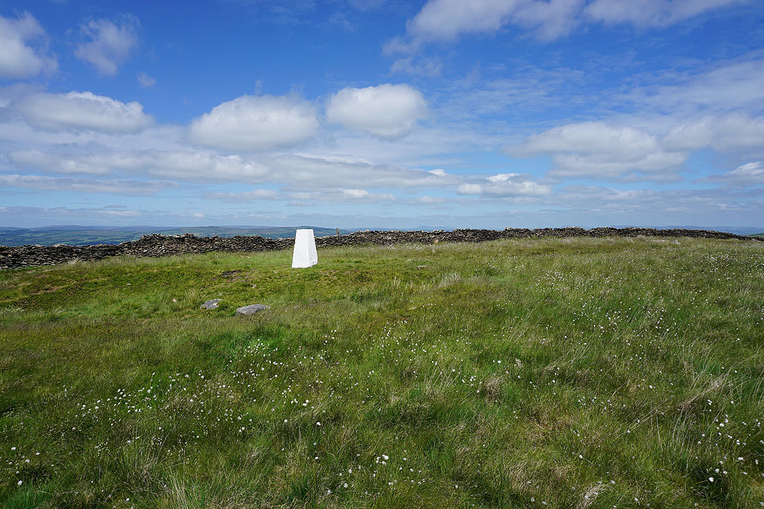
At the freshly painted trig point on The Rough
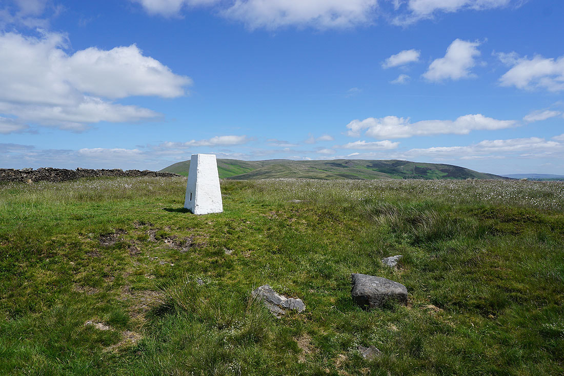
There's a great view to the northeast of Pendle Hill and Spence Moor..
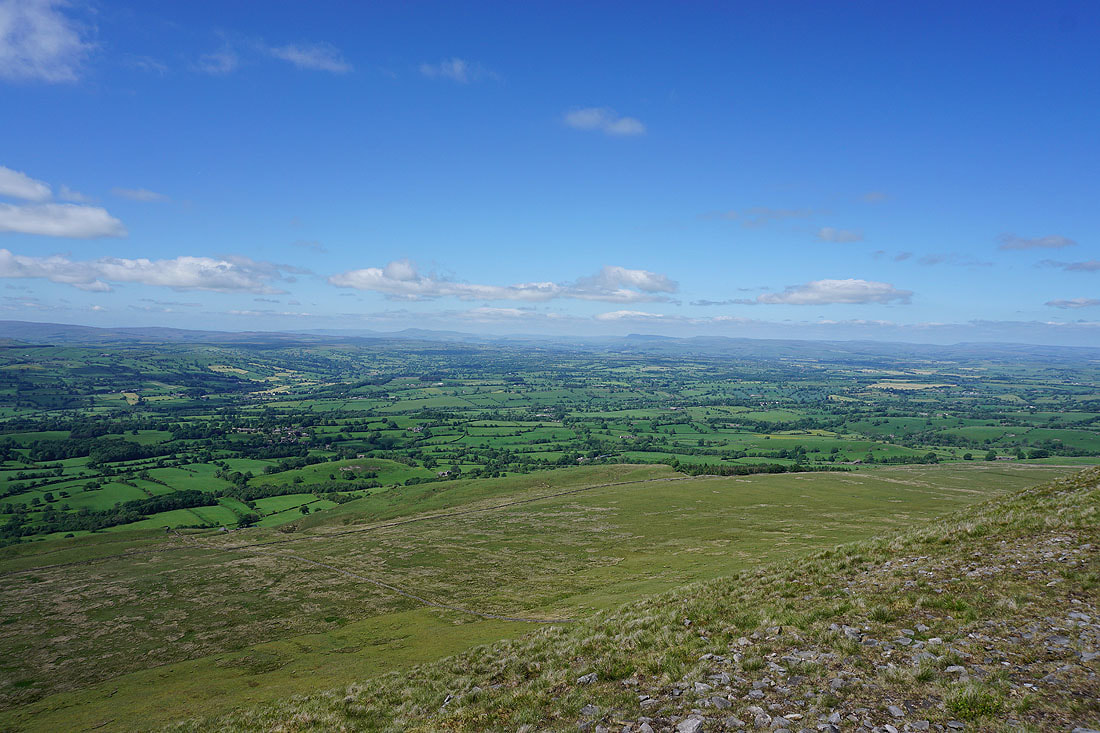
Looking up the Ribble Valley to a distant Ingleborough, Penyghent and Fountains Fell
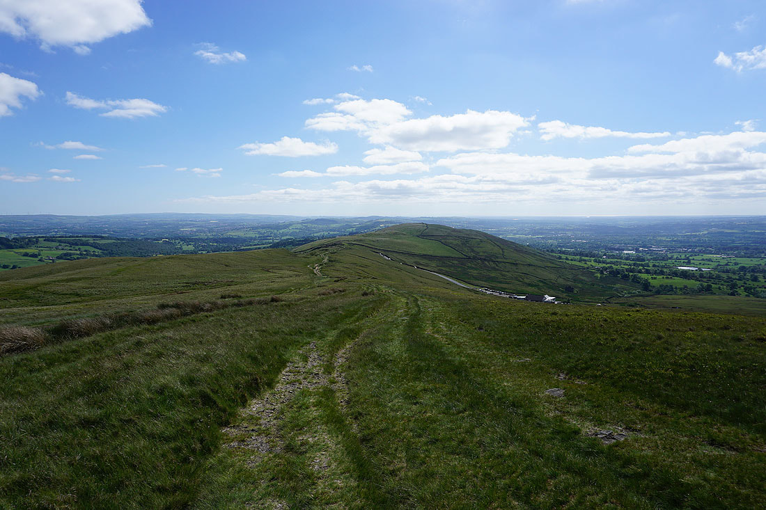
Looking back to The Rough as I head for the Nick of Pendle
and across the Ribble Valley to Longridge Fell, Parlick, Fair Snape Fell, Totridge and Waddington Fell from Pendleton Moor
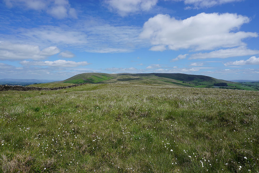
The bulk of Pendle Hill lies ahead
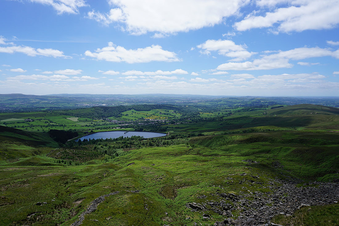
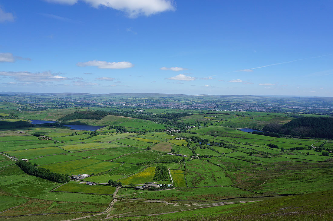
A brief detour to Deerstones to take in the view of Churn Clough Reservoir, Sabden and Black Hill, with the West Pennine Moors in the distance
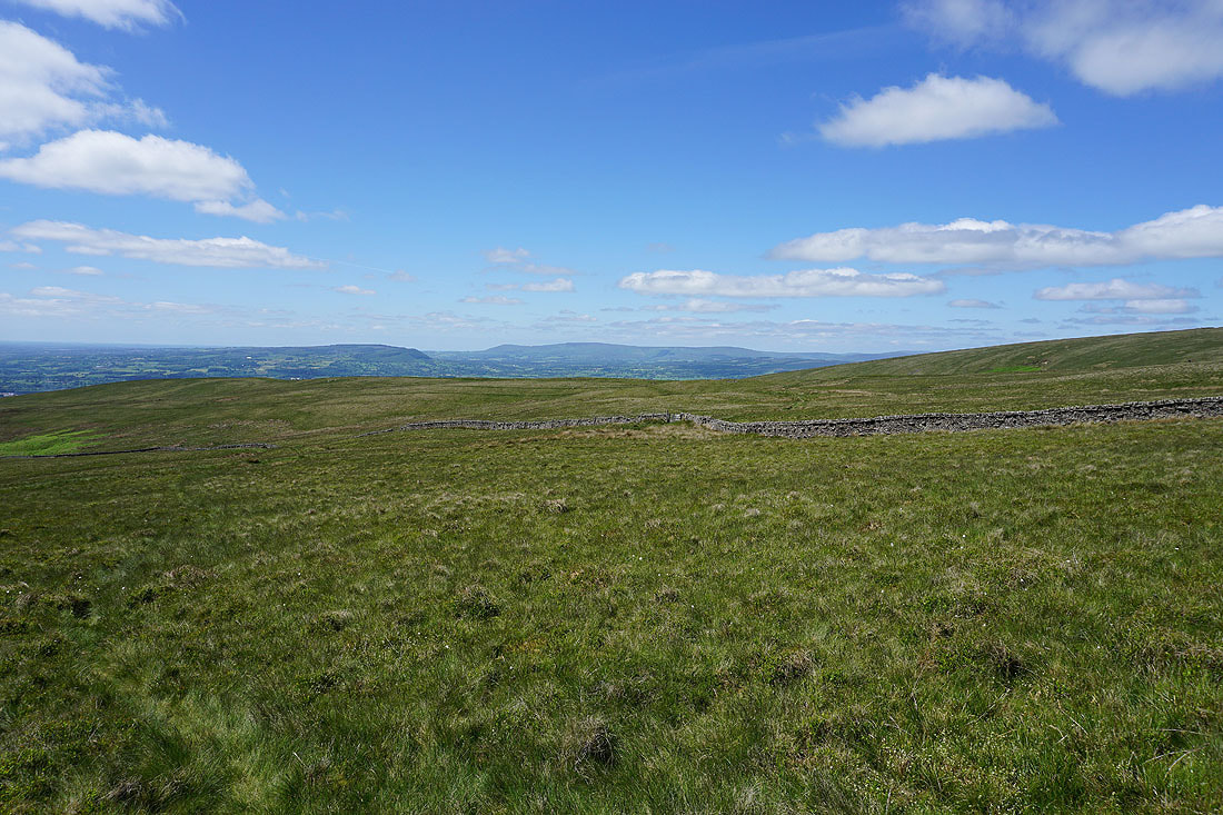
and looking across Pendleton Moor to Longridge Fell, Parlick, Fair Snape Fell and Totridge
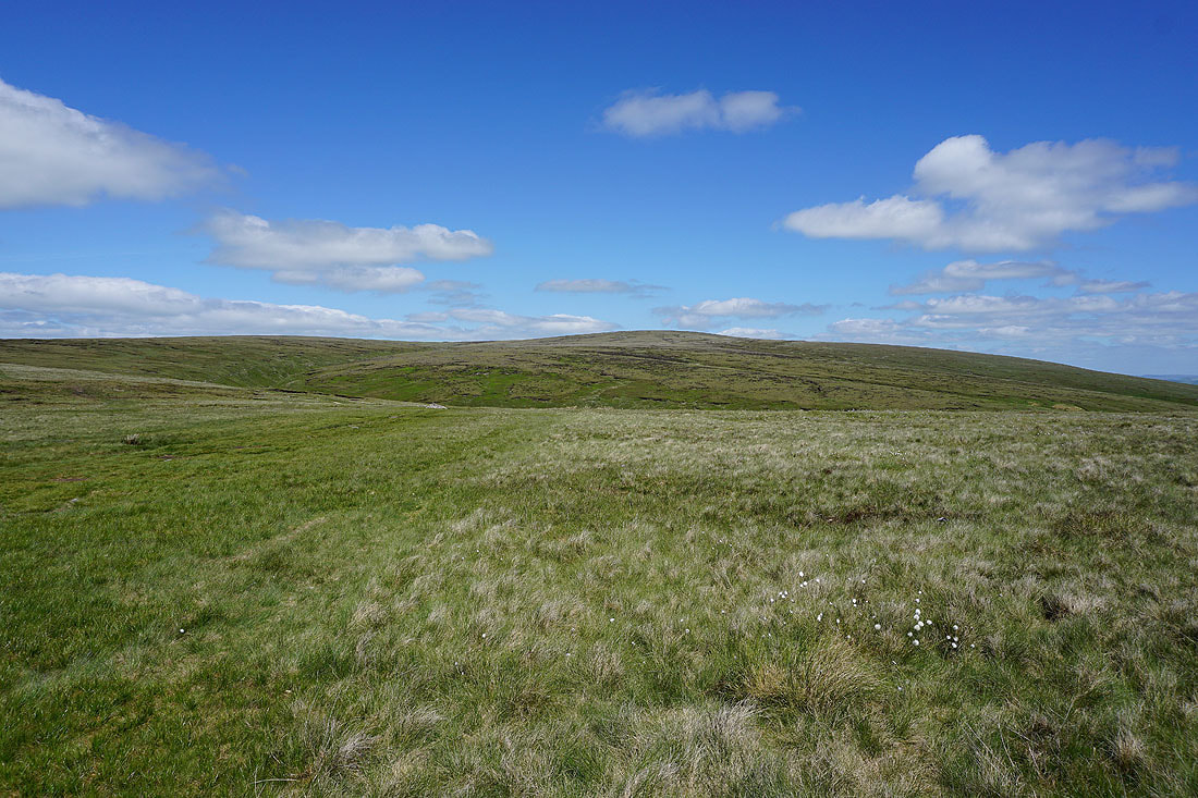
Pendle Hill ahead as I take the path into Ogden Clough
Boulsworth Hill in the distance through the gap of Ogden Clough
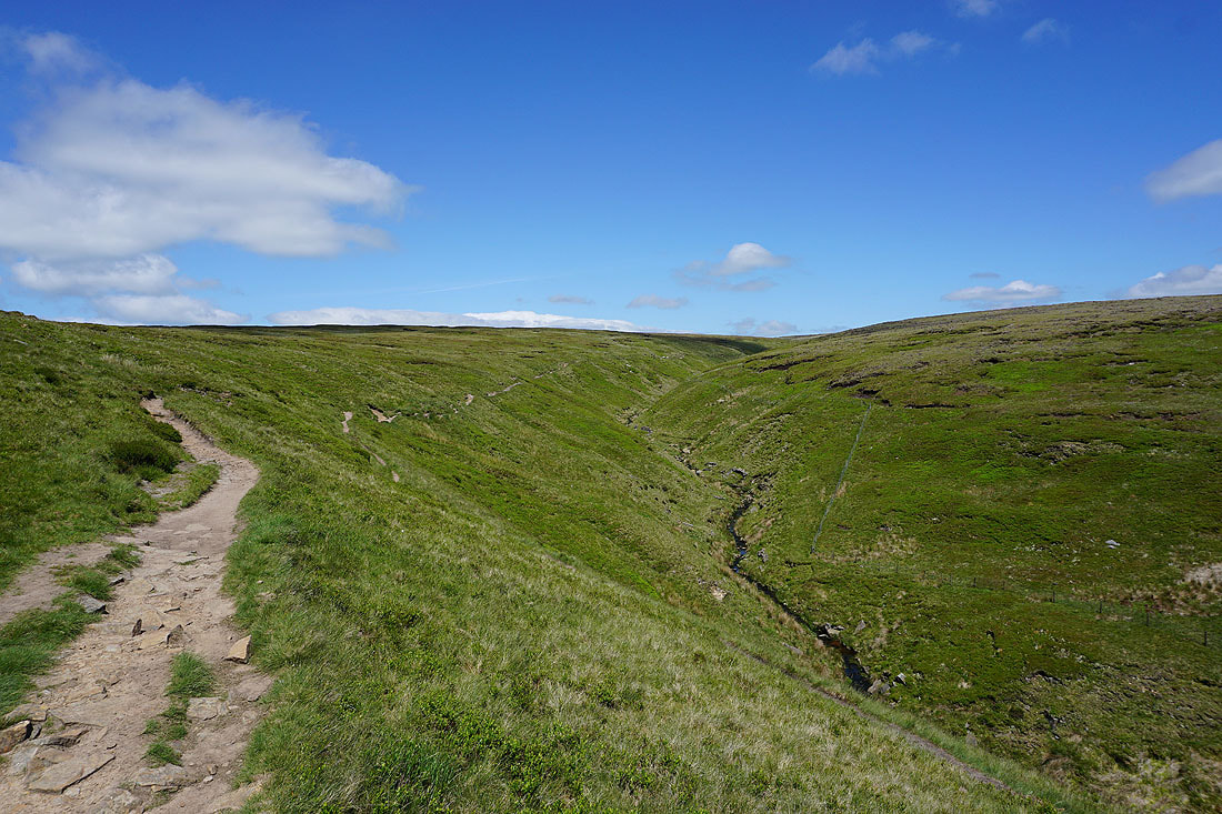
On the path up Ogden Clough..
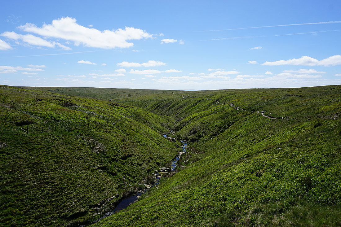
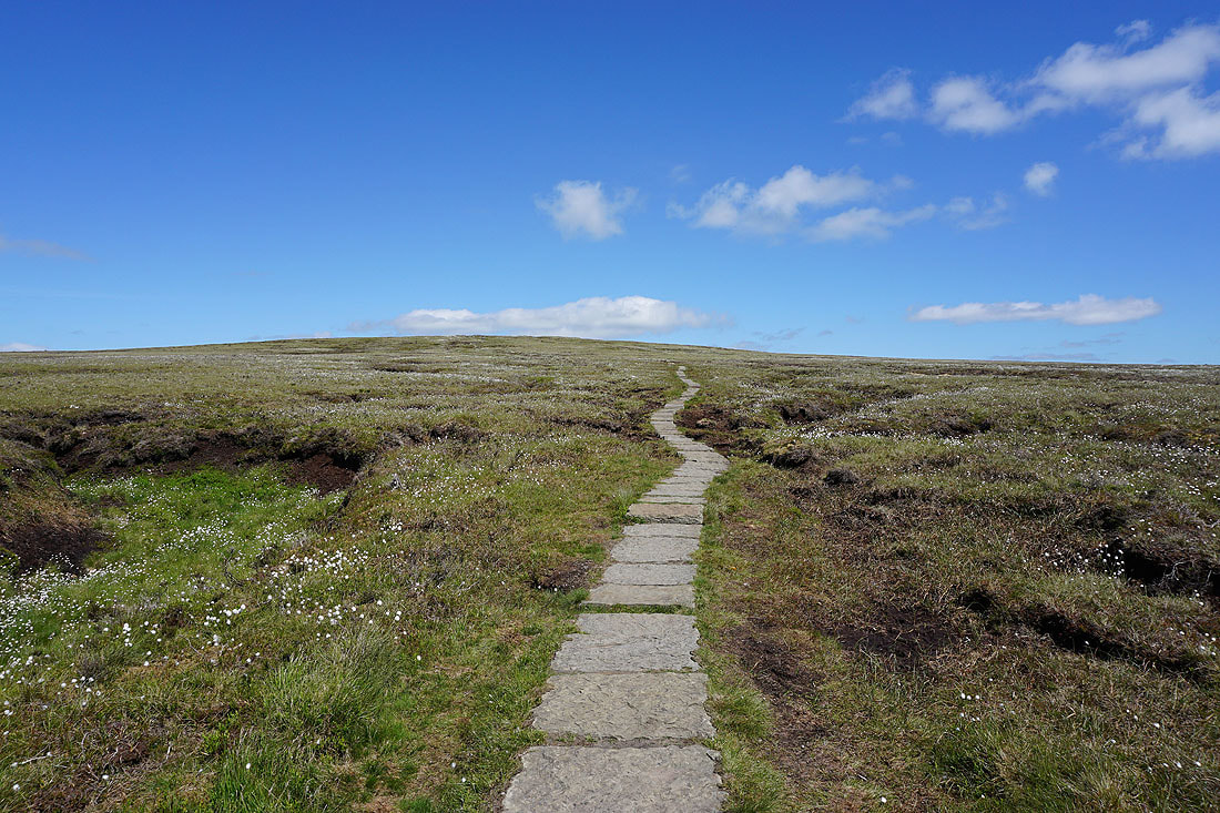
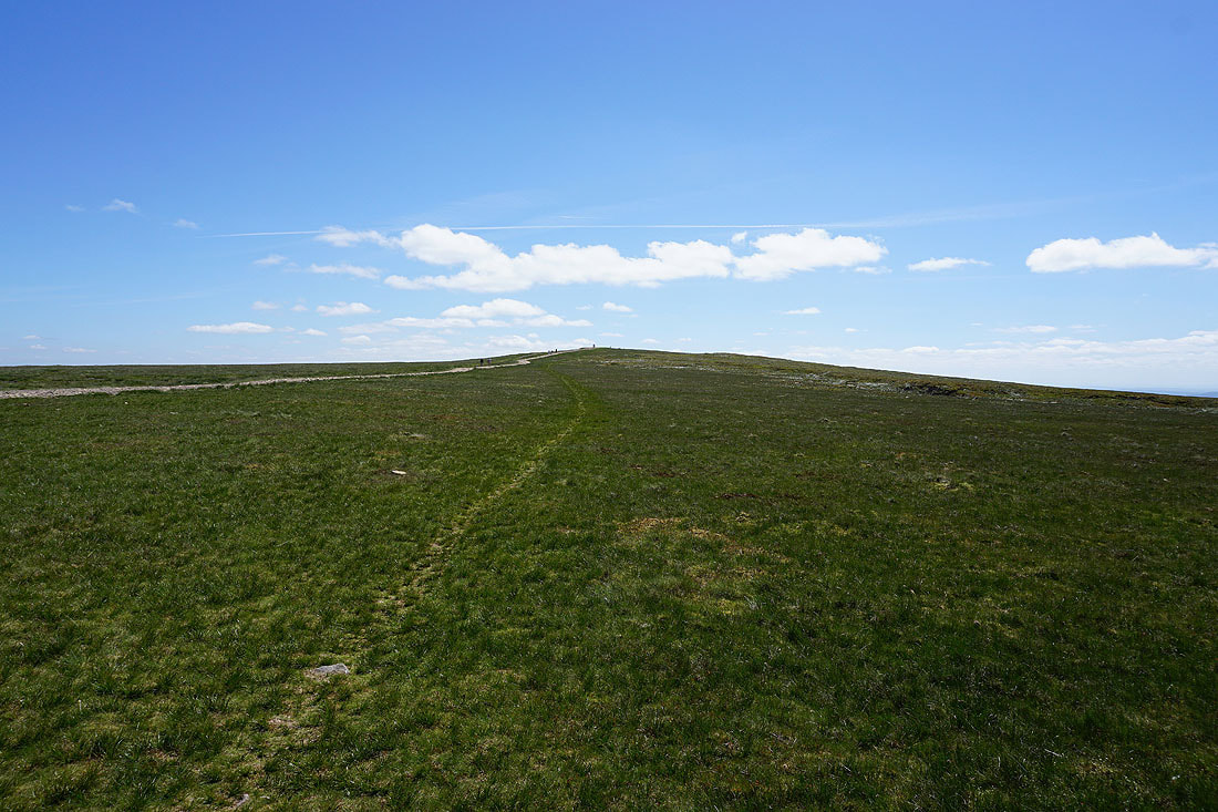
Ogden Clough is left behind for the flagged path to the summit
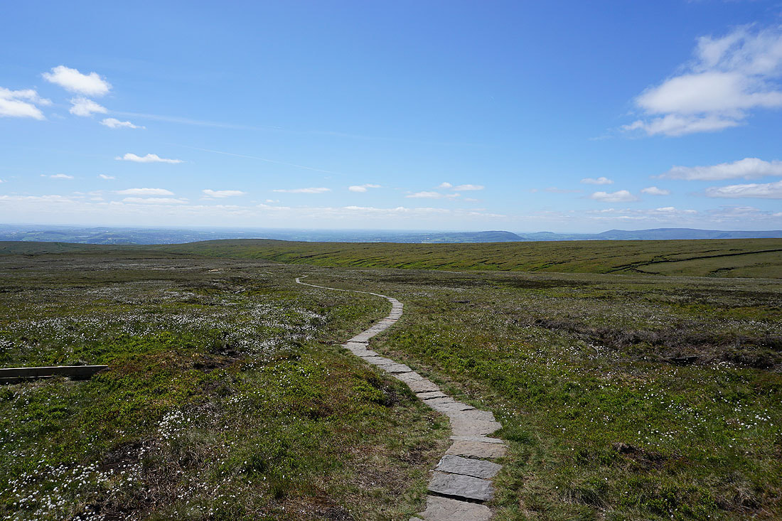
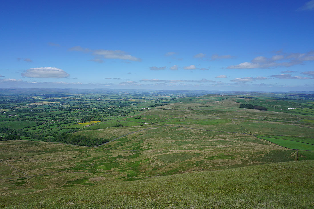
Looking back to the Ribble Valley
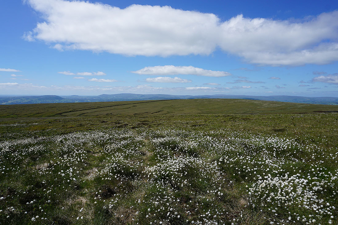
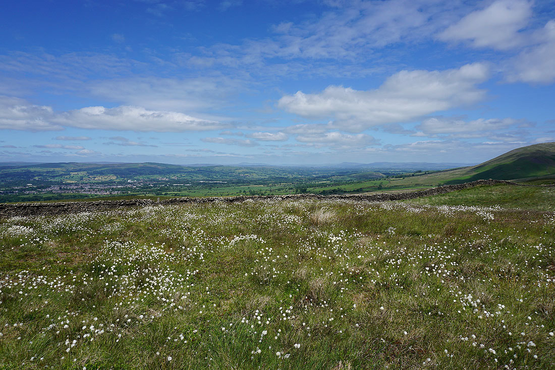
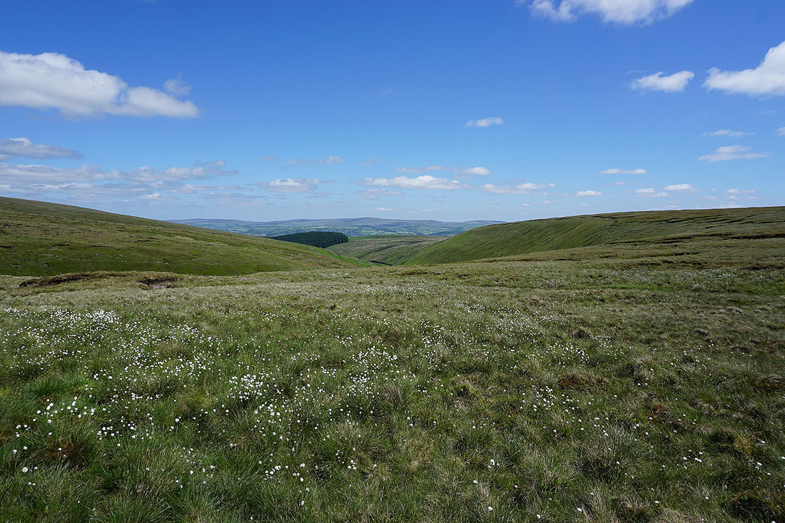
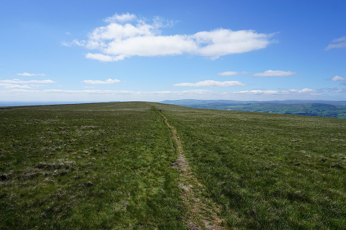
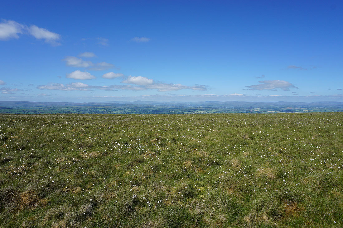
Views across seas of cotton grass to the Forest of Bowland..
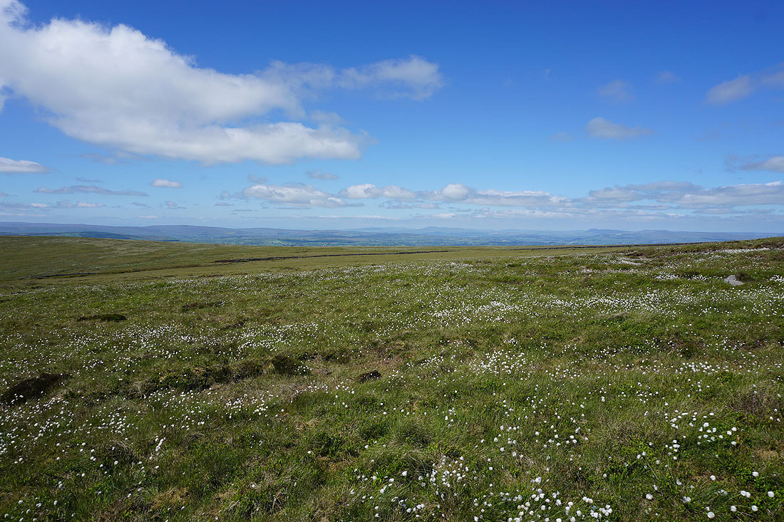
..and Ingleborough and Penyghent in the Yorkshire Dales
On the summit of Pendle Hill. I've got a great view to the east to Boulsworth Hill in the distance, with the Black Moss Reservoirs, Barley, and Lower Ogden Reservoir below.
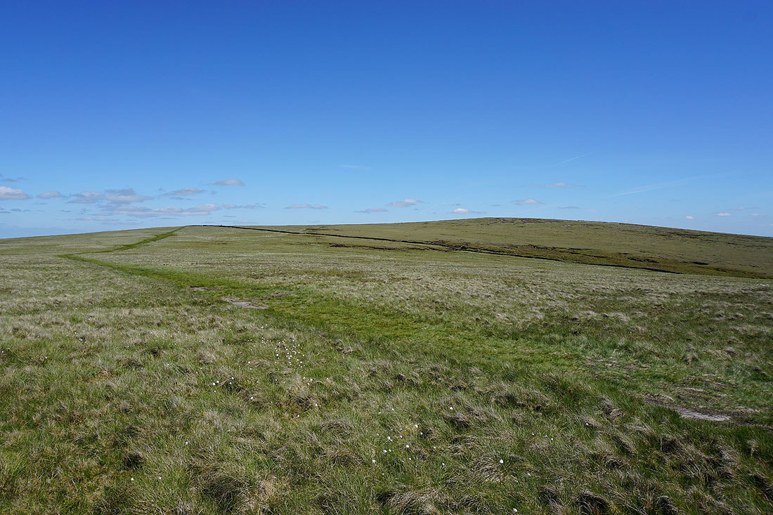
The Forest of Bowland in the distance beyond Downham Moor
Looking back to the trig point
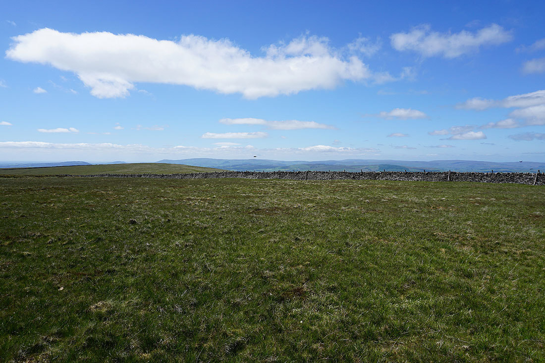
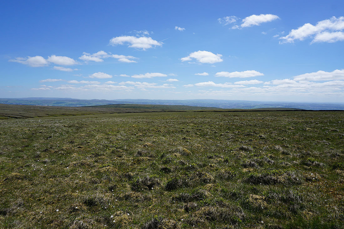
On the eastern edge of Downham Moor. Looking east to Twiston Moor, Rimington Moor and Weets Hill, with the moors around Wharfedale in the distance.
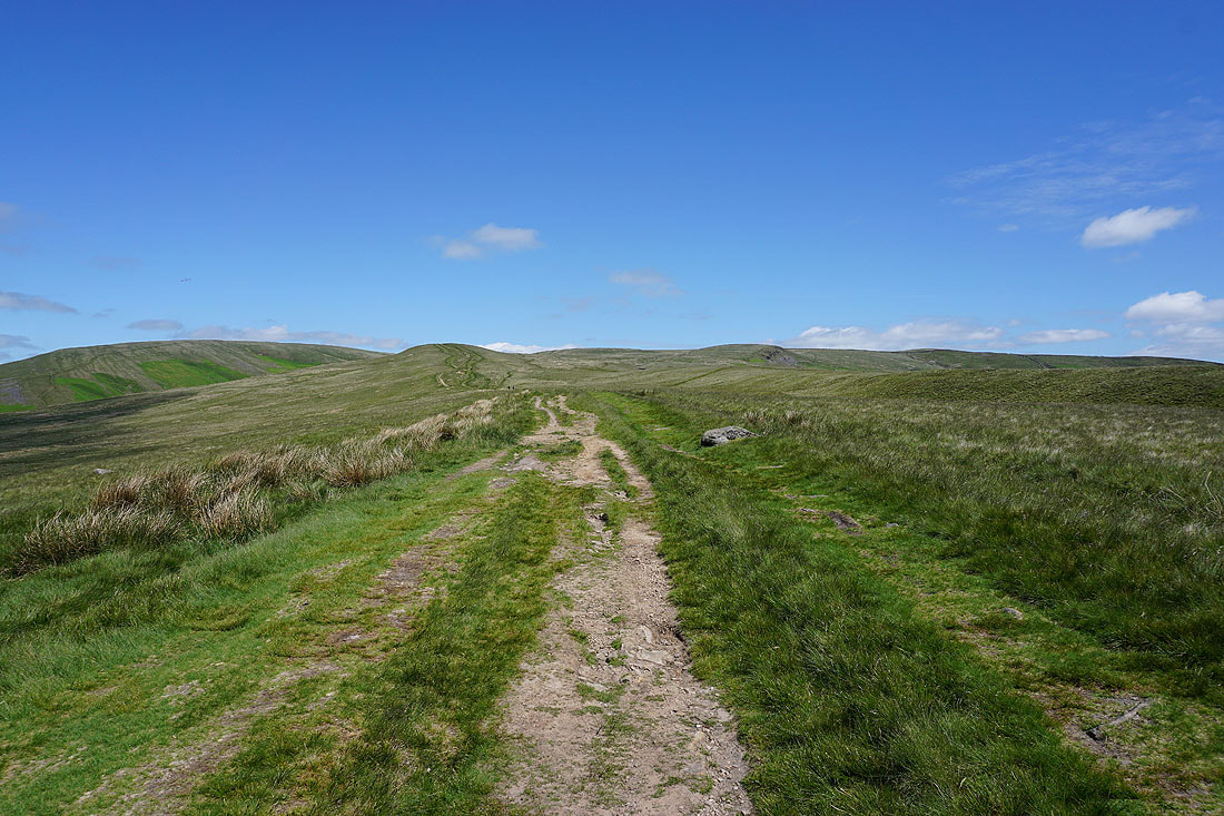
Heading west across Downham Moor
Ingleborough, Penyghent and Fountains Fell in the distance
Looking back to the summit of Pendle Hill from Downham Moor
The West Pennine Moors in the distance beyond Spence Moor
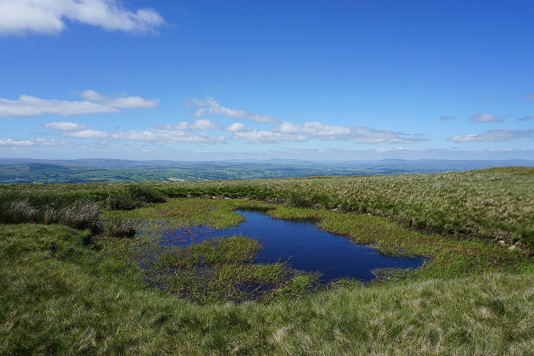
This pool on Downham Moor has become a favourite spot for me to stop and take photos. Looking up the Ribble Valley to Ingleborough and Penyghent.
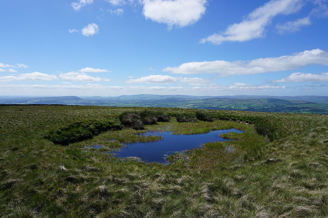
and across the Ribble Valley to the Forest of Bowland
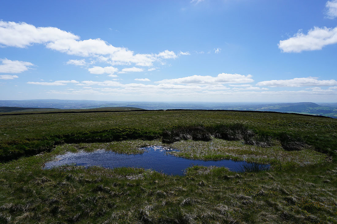
and finally, down the Ribble Valley towards the coast
Clitheroe and the Forest of Bowland from the northern edge of Worston Moor
and looking up the Ribble Valley to the Yorkshire Dales
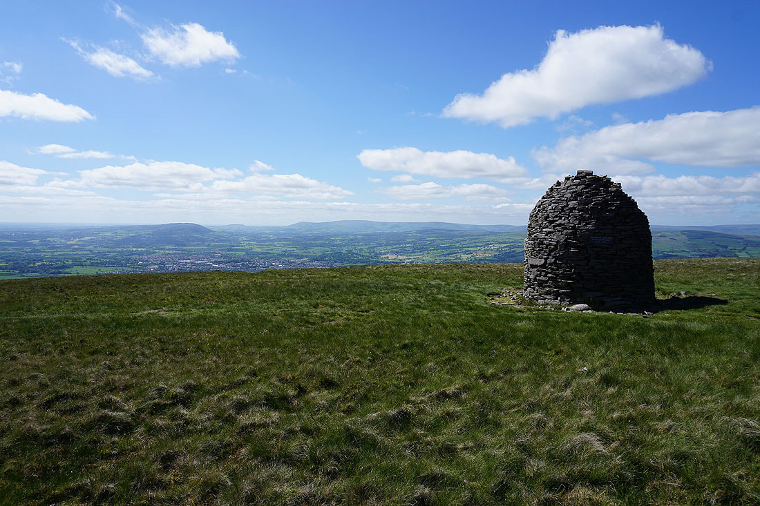
Clitheroe and the Forest of Bowland from the Scout Cairn
The Forest of Bowland from Mearley Moor
and Ingleborough, Penyghent and Fountains Fell in the distance
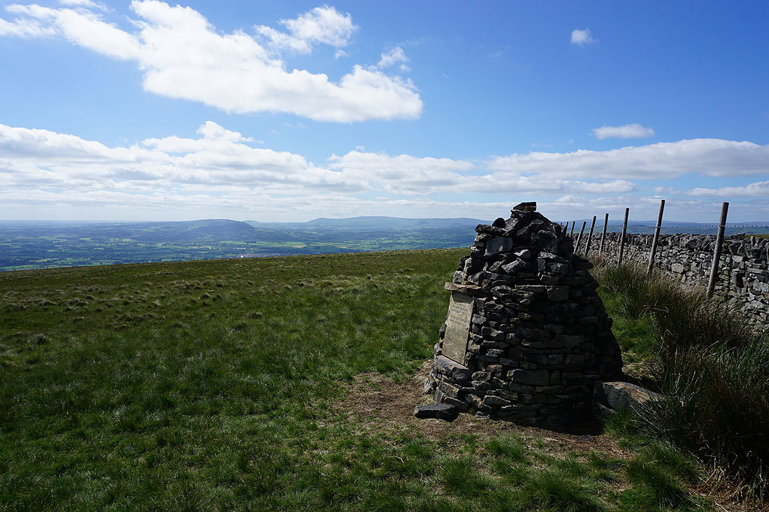
At the Clayton-le-Moors Harriers cairn at the southern end of Mearley Moor
Pendleton Moor and The Rough, with the West Pennine Moors in the distance
Churn Clough Reservoir, Black Hill and Sabden, with Great Hameldon and the West Pennine Moors in the distance from Pendleton Moor
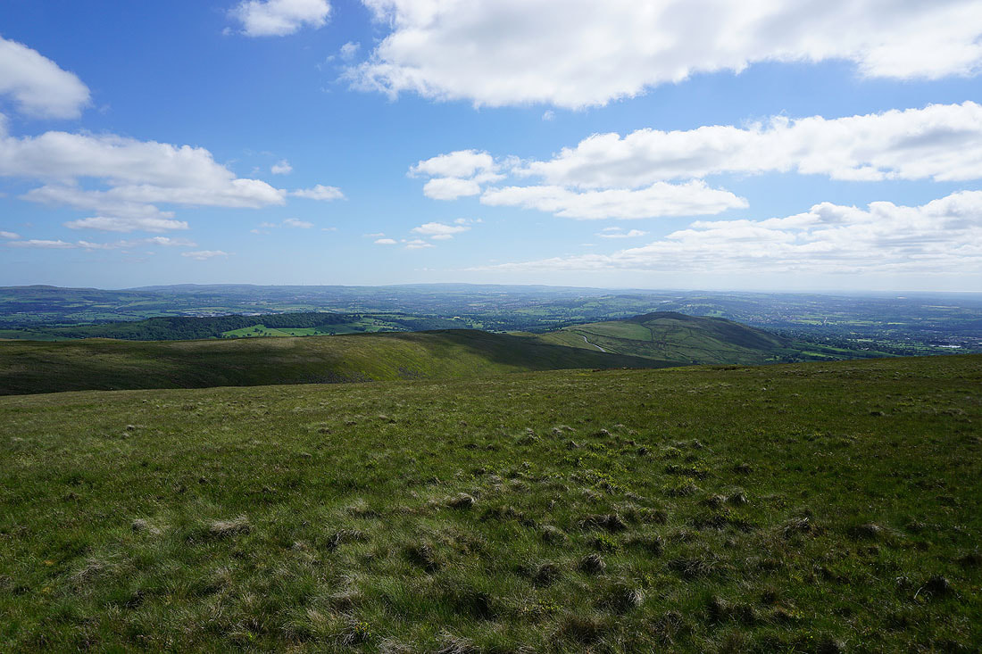
The Forest of Bowland, Clitheroe and the Ribble Valley
Heading for the Nick of Pendle
and following the path down to Wymondhouses from the Nick of Pendle
Looking across Swardean Clough and up the Ribble Valley to Ingleborough and Penyghent
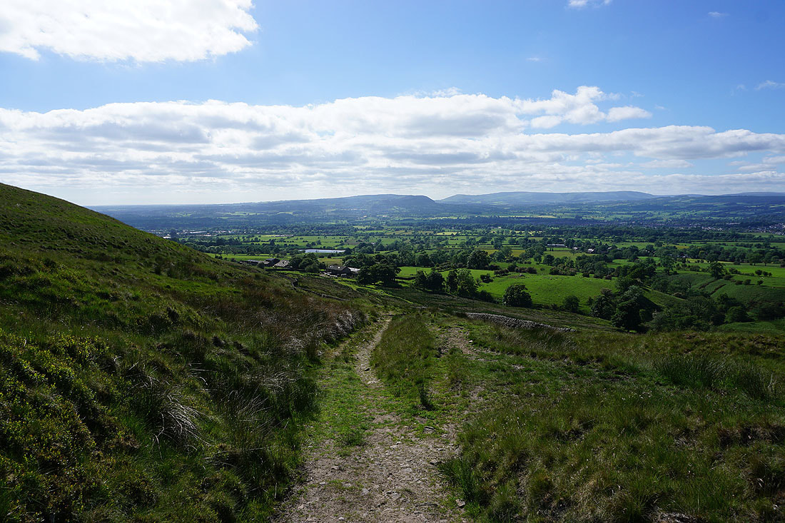
Longridge Fell, Parlick, Fair Snape Fell, Totridge and Waddington Fell as I head back down to Pendleton

A last look back to the slopes of Pendle Hill