12th March 2017 - Anglezarke Moor
Walk Details
Distance walked: 9.3 miles
Total ascent: 1444 ft
OS map used: 287 - West Pennine Moors
Time taken: 5 hrs
Route description: White Coppice-Drinkwaters-Great Hill-Spitlers Edge-Hordern Pasture-Lower Hempshaw's-Lead Mines Clough-Alance Bridge-Yarrow Reservoir-Anglezarke Reservoir-White Coppice
Given the forecast for today that was made yesterday evening the last thing that I expected when I looked outside this morning was to see some blue skies and sunshine. Despite doing the walk on Darwen Moor yesterday, (which was done in anticipation of not going anywhere today) I had to go somewhere and take advantage of it. It had to be close to home though, the weather was still supposed to go downhill during the afternoon. I arrived at White Coppice at 0900 and had done the moorland stretch by lunchtime in some lovely spells of warm spring sunshine and a mild breeze. After having my lunch at Lead Mines Clough the return to White Coppice was done under grey skies and drizzle.
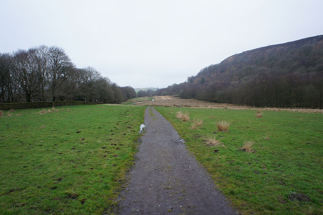
From the hamlet of White Coppice I made my way past the cricket club, over the catchwater drain of The Goit and up the path to Great Hill. Once on Great Hill I took the flagged path south across Spitlers Edge and over Hordern Pasture. On the way down I turned right onto the path to the ruins at Lower Hempshaw's. I didn't stay on the public footpath when I reached Lower Hempshaw's however, the track that winds its way across the hillside from here and down to Lead Mines Clough is much easier to follow. After exploring Lead Mines Clough I made my way down the bridleway to Yarrow Reservoir at Alance Bridge. I then had a walk by Anglezarke Reservoir and High Bullough Reservoir to reach Moor Road, after crossing the road a short walk along the path beneath Stronstrey Bank brought me back to White Coppice.
Total ascent: 1444 ft
OS map used: 287 - West Pennine Moors
Time taken: 5 hrs
Route description: White Coppice-Drinkwaters-Great Hill-Spitlers Edge-Hordern Pasture-Lower Hempshaw's-Lead Mines Clough-Alance Bridge-Yarrow Reservoir-Anglezarke Reservoir-White Coppice
Given the forecast for today that was made yesterday evening the last thing that I expected when I looked outside this morning was to see some blue skies and sunshine. Despite doing the walk on Darwen Moor yesterday, (which was done in anticipation of not going anywhere today) I had to go somewhere and take advantage of it. It had to be close to home though, the weather was still supposed to go downhill during the afternoon. I arrived at White Coppice at 0900 and had done the moorland stretch by lunchtime in some lovely spells of warm spring sunshine and a mild breeze. After having my lunch at Lead Mines Clough the return to White Coppice was done under grey skies and drizzle.
From the hamlet of White Coppice I made my way past the cricket club, over the catchwater drain of The Goit and up the path to Great Hill. Once on Great Hill I took the flagged path south across Spitlers Edge and over Hordern Pasture. On the way down I turned right onto the path to the ruins at Lower Hempshaw's. I didn't stay on the public footpath when I reached Lower Hempshaw's however, the track that winds its way across the hillside from here and down to Lead Mines Clough is much easier to follow. After exploring Lead Mines Clough I made my way down the bridleway to Yarrow Reservoir at Alance Bridge. I then had a walk by Anglezarke Reservoir and High Bullough Reservoir to reach Moor Road, after crossing the road a short walk along the path beneath Stronstrey Bank brought me back to White Coppice.
Route map
© Crown copyright. All rights reserved. License number PU 100034184.
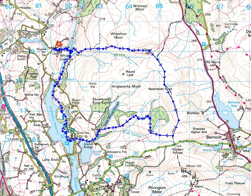
There are great reflections in one of the small reservoirs at White Coppice this morning
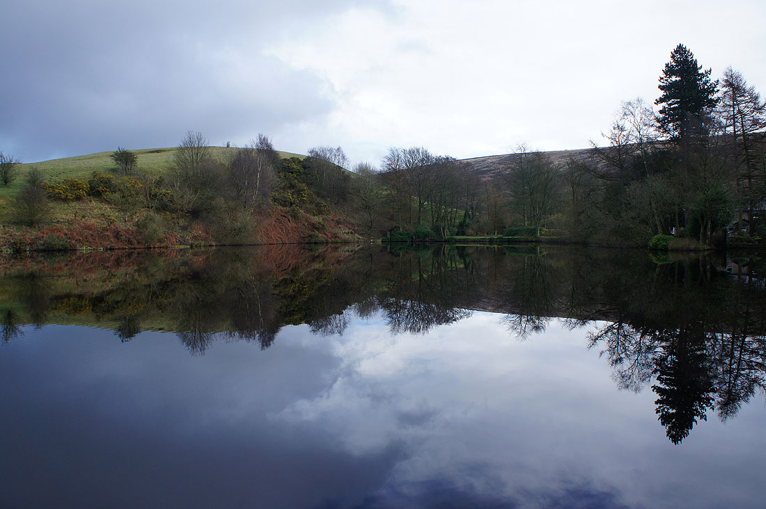
Walking past the ground of White Coppice Cricket Club
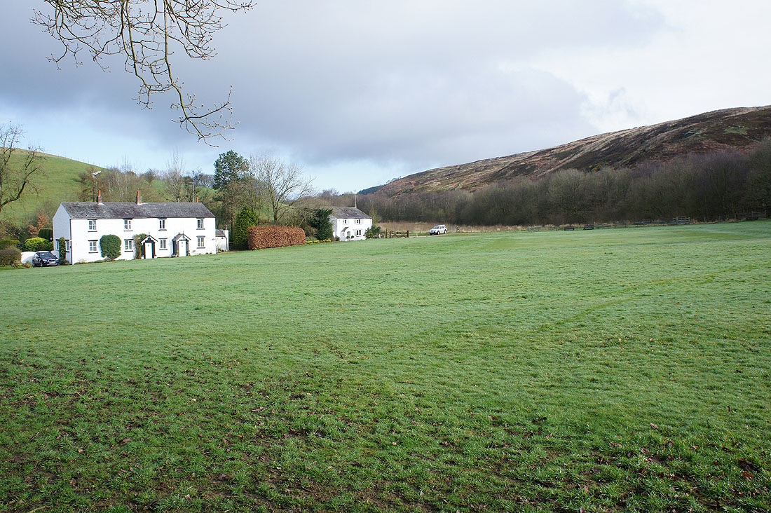
and looking back down as I start taking the path up Great Hill
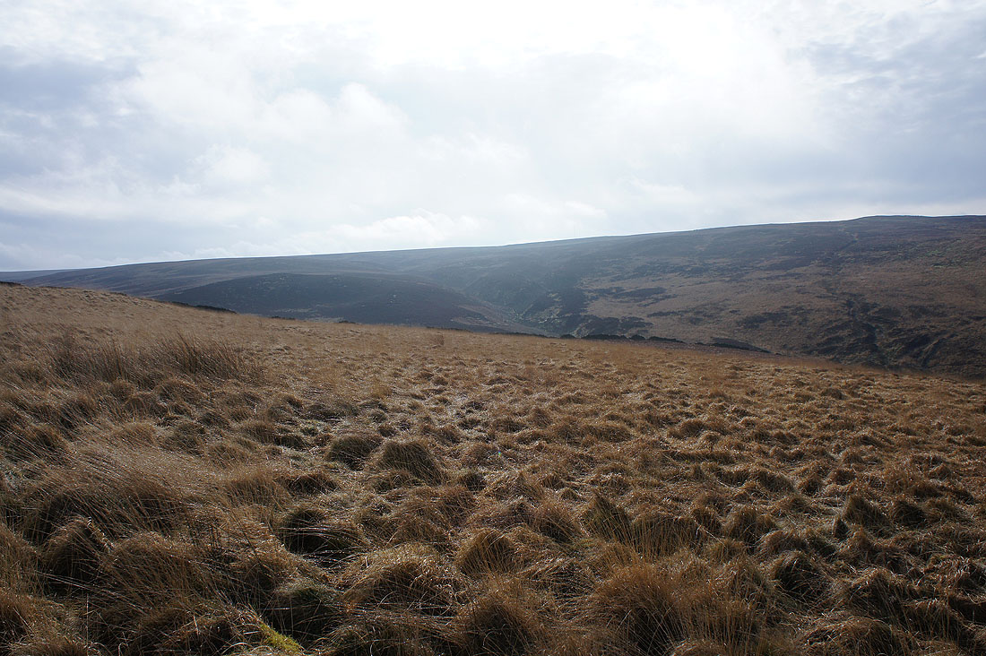
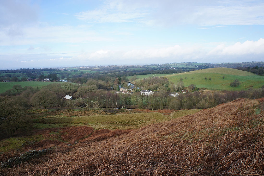
Looking across the valley of Dean Black Brook and Anglezarke Moor
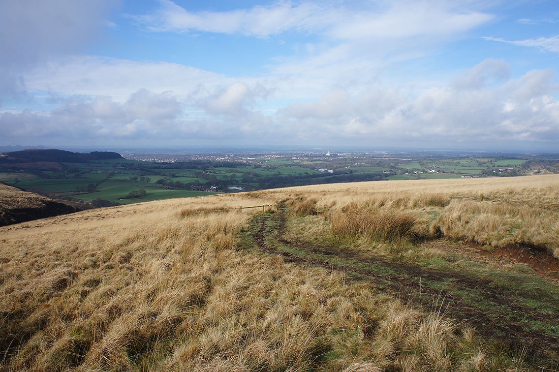
With some height gained I can now see the town of Chorley in the distance
Great Hill ahead
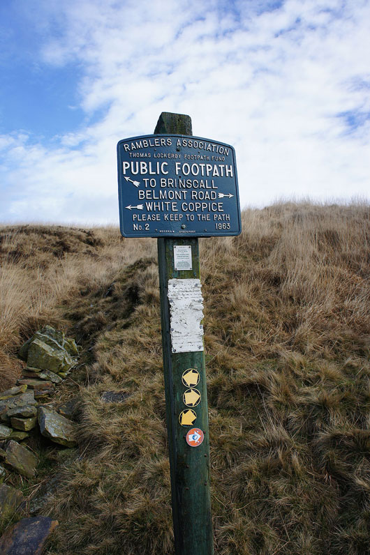
It's the footpath to Belmont Road for me
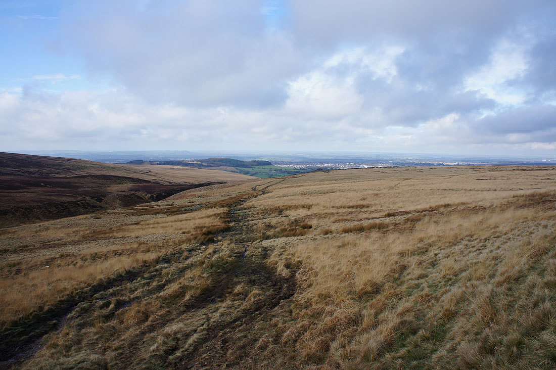
Higher up and when I look back I can now see past Chorley and out across the West Lancashire Plain
Zooming in on the bronze age tumulus of Round Loaf on Anglezarke Moor
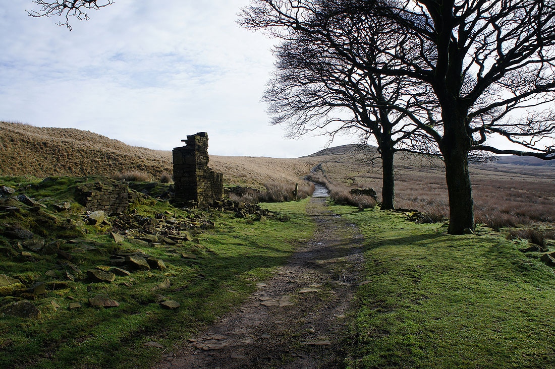
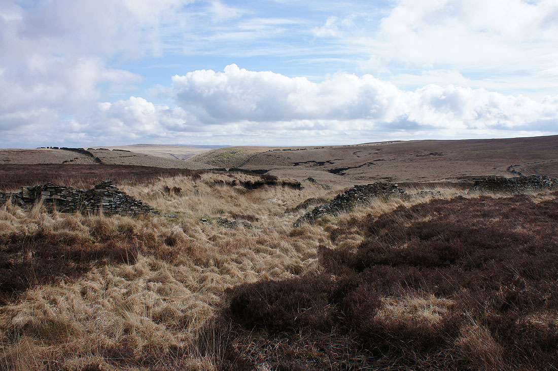
Through the ruins of Drinkwaters Farm
A last look back as I approach the summit of Great Hill. It's a lovely morning, mild with warm spring sunshine.
Great colours on Withnell Moor
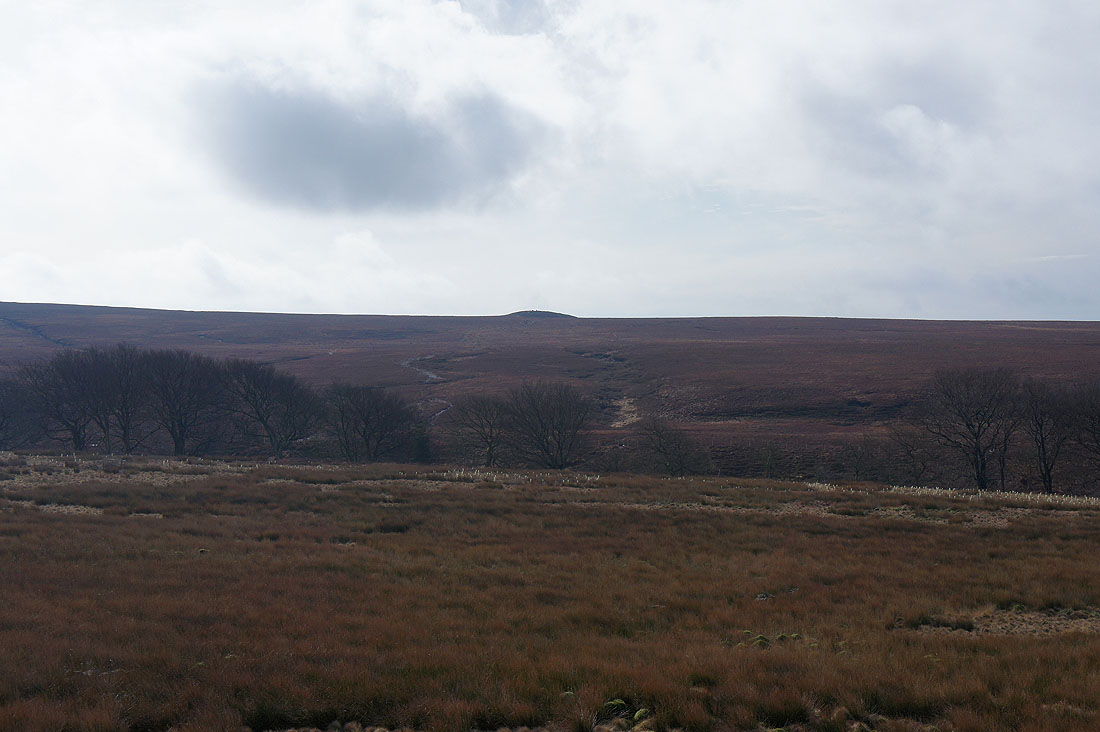
Winter Hill in the distance beyond the bulk of Anglezarke Moor
Wheelton Moor
At the cross shelter on the summit of Great Hill

Withnell Moor with Darwen Moor and Jubilee Tower in the distance on the right. Low cloud to the north is stopping me from seeing Pendle Hill.
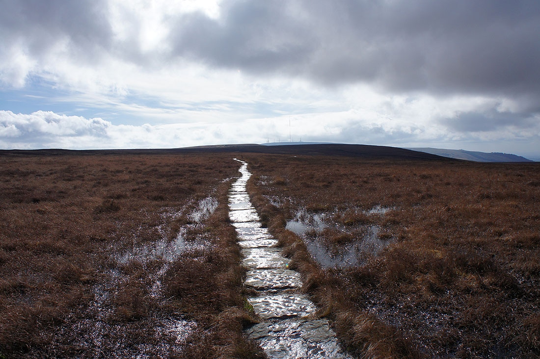
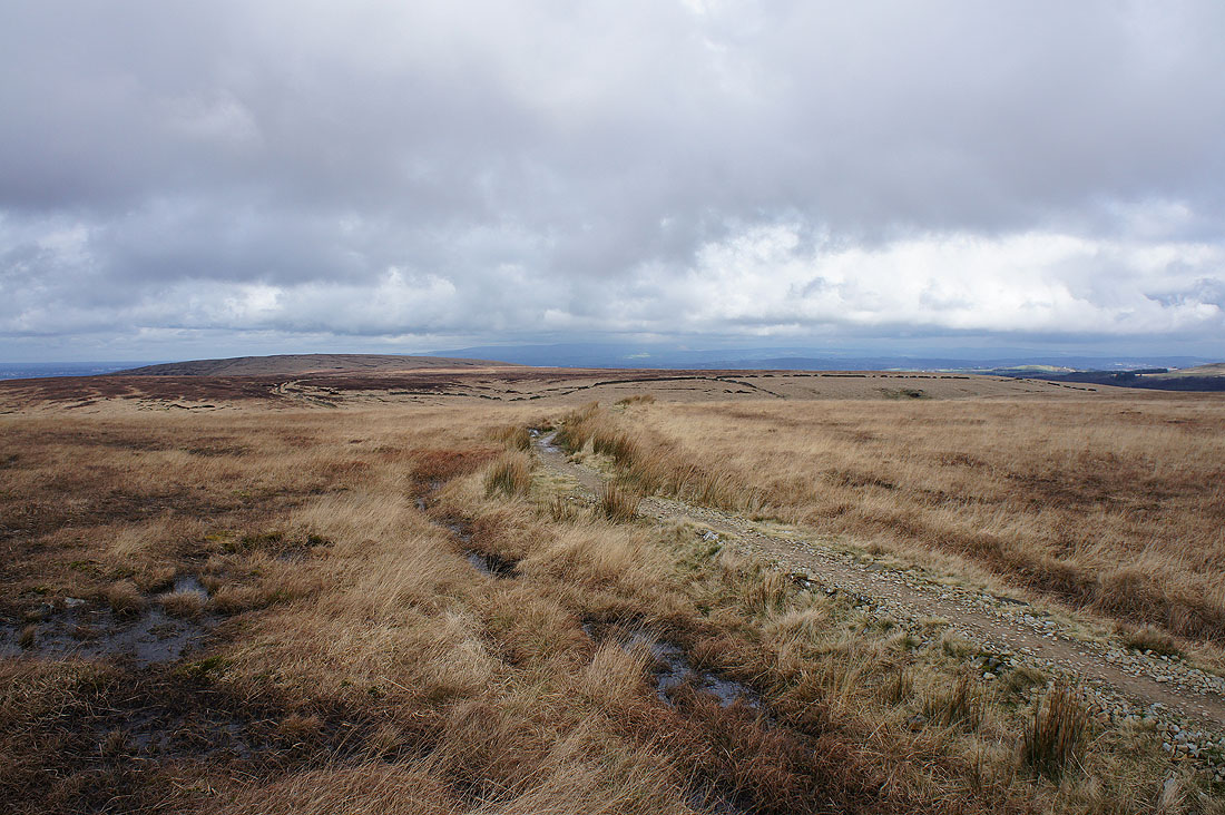
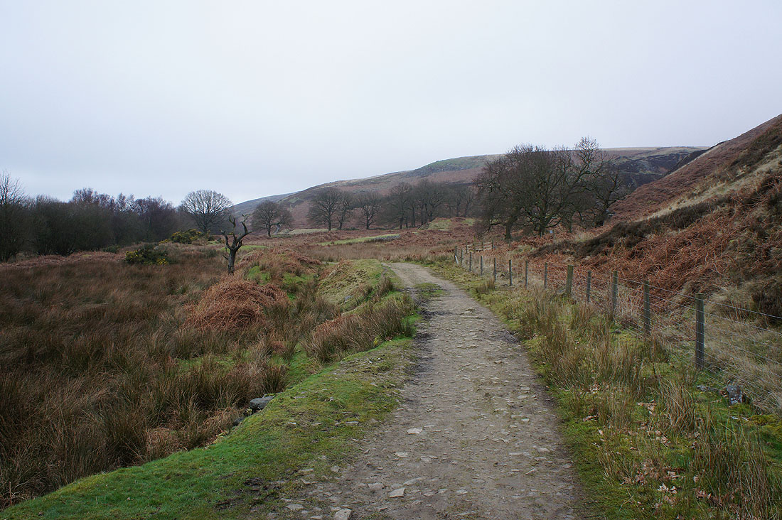
Heading for Spitlers Edge and I dread to think what it would be like without the flags
Looking back to Great Hill
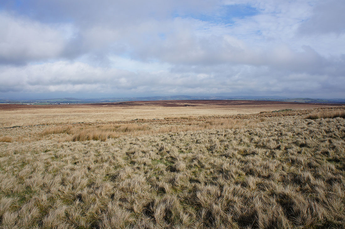
Passing a colourful bit of rough moorland at the top of Bromiley Pastures
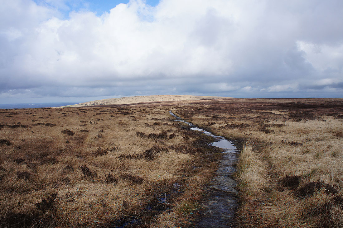
Great Hill from Spitlers Edge
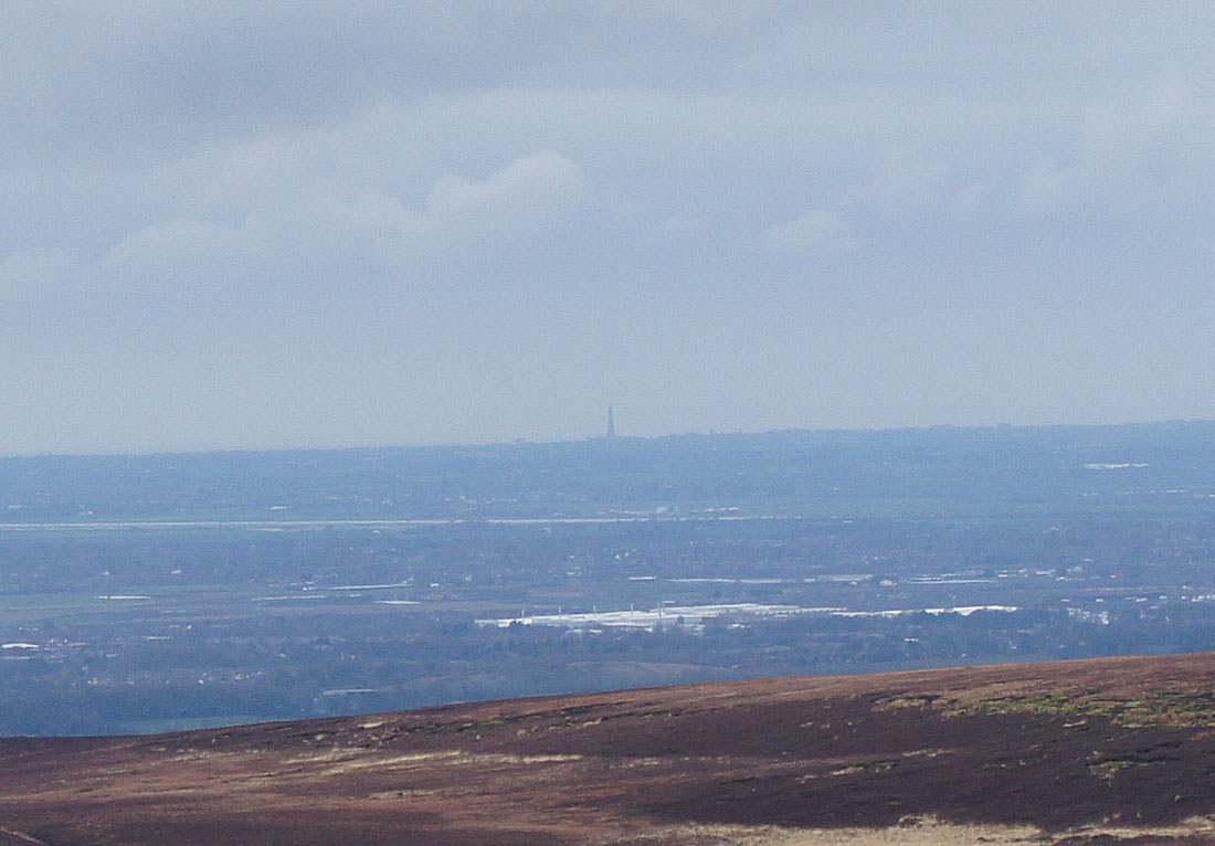
A big zoom in on Blackpool Tower
Great Hill and the cloud has now lifted enough for me to make out a bit of the Forest of Bowland in the distance
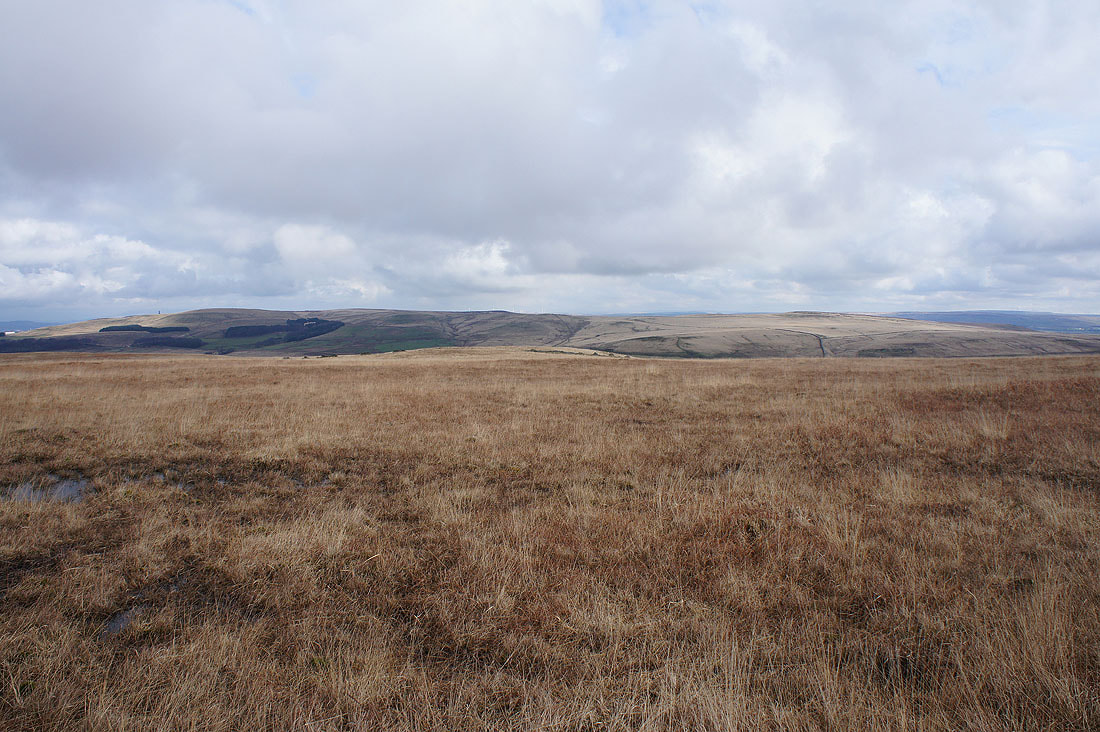
Darwen Moor and Longworth Moor
Longworth Moor, Holcombe Moor and Turton Heights
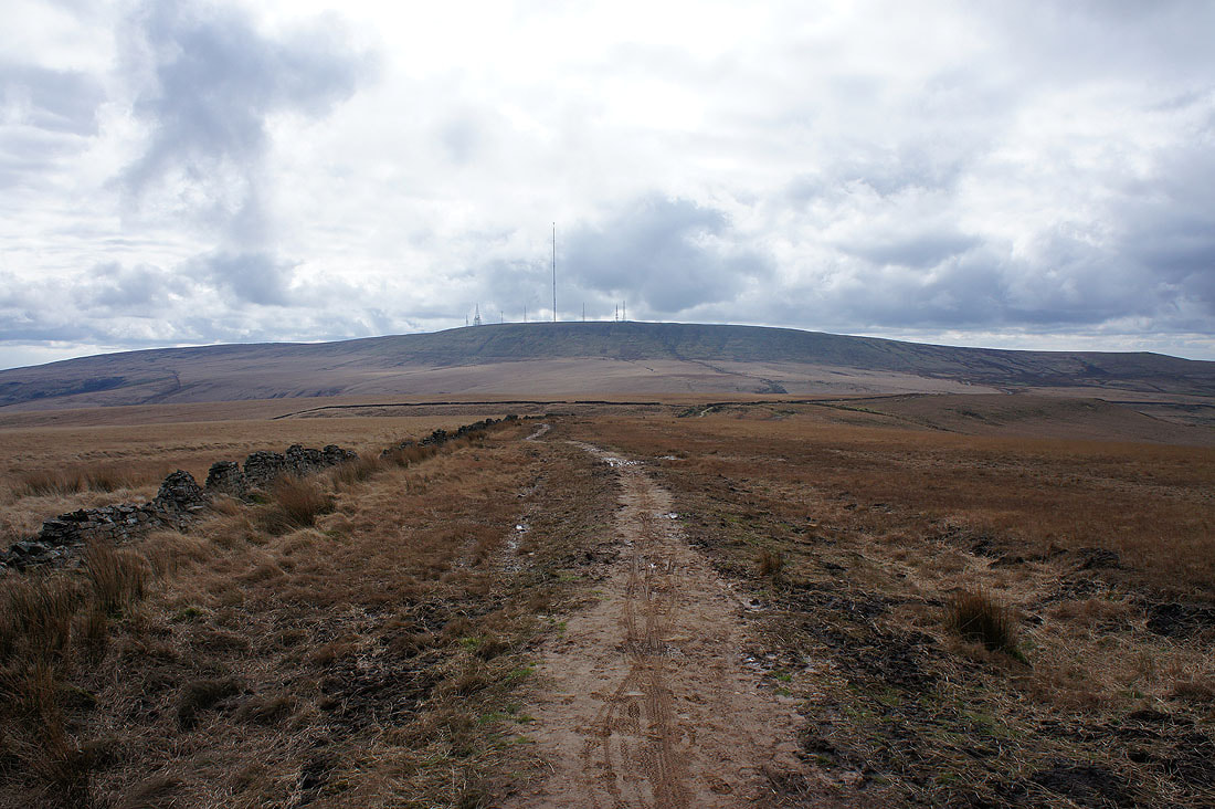
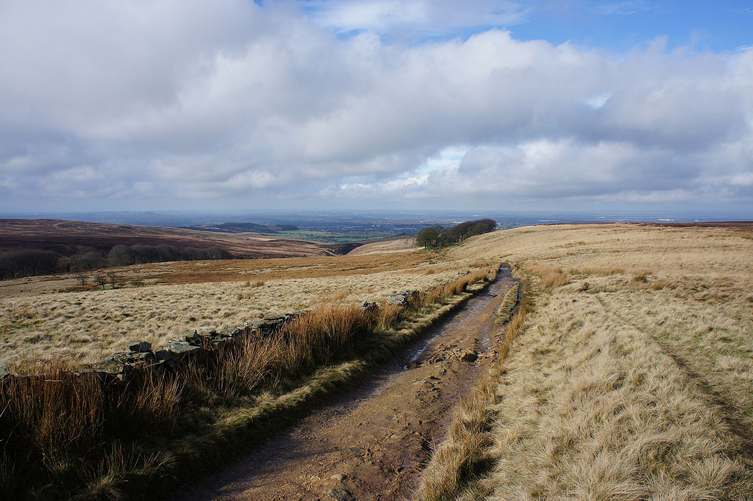
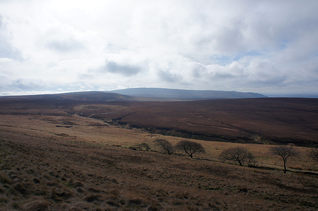
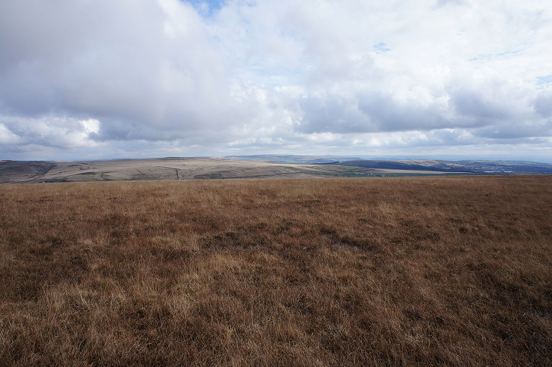
Winter Hill ahead as I head for Hordern Pasture

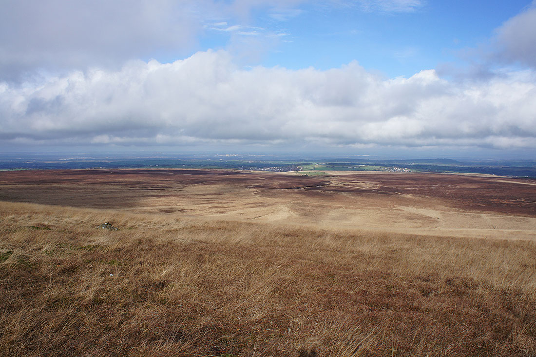
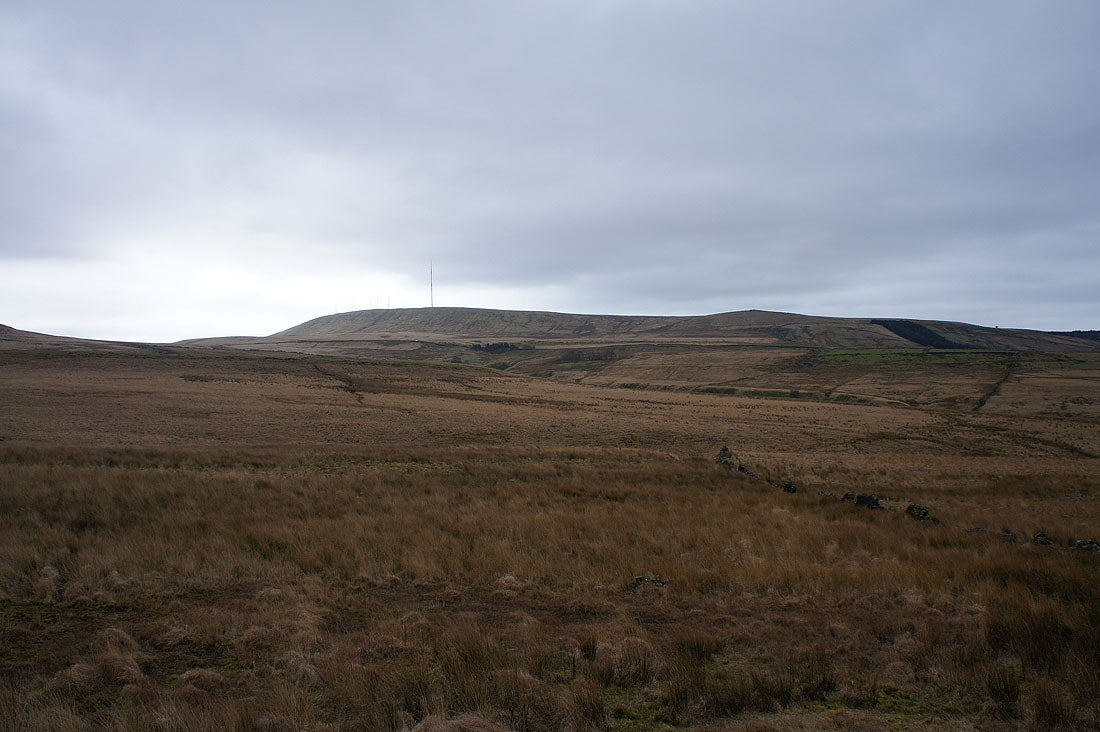
The last of the sunshine on Anglezarke Moor
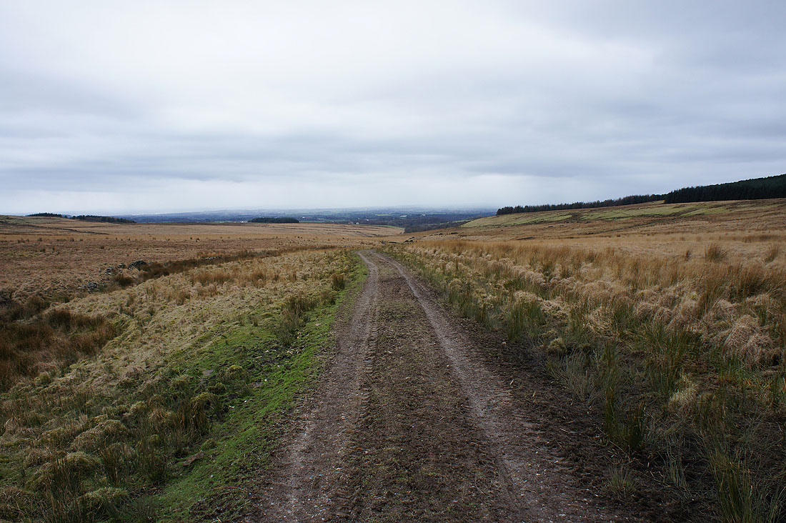
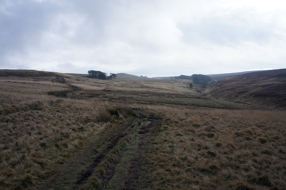
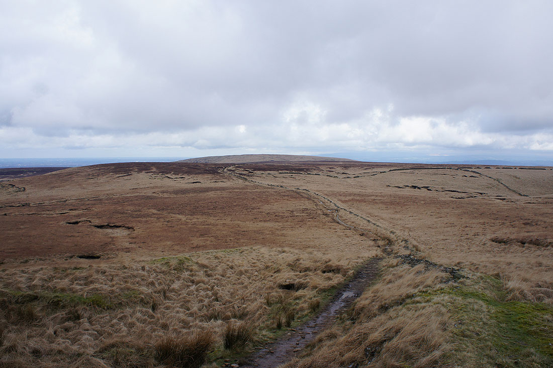
On the track to Lead Mines Clough. I can see rain falling from the clouds in the distance.
Winter Hill and Noon Hill
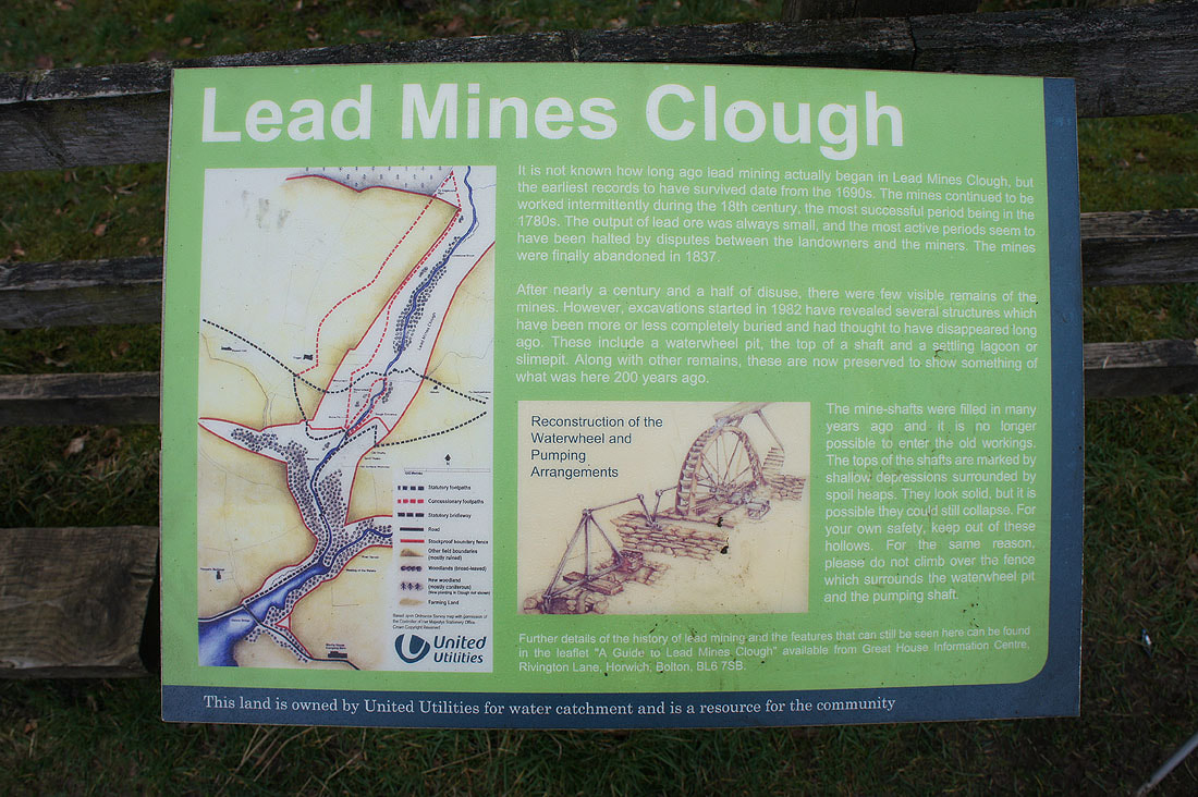
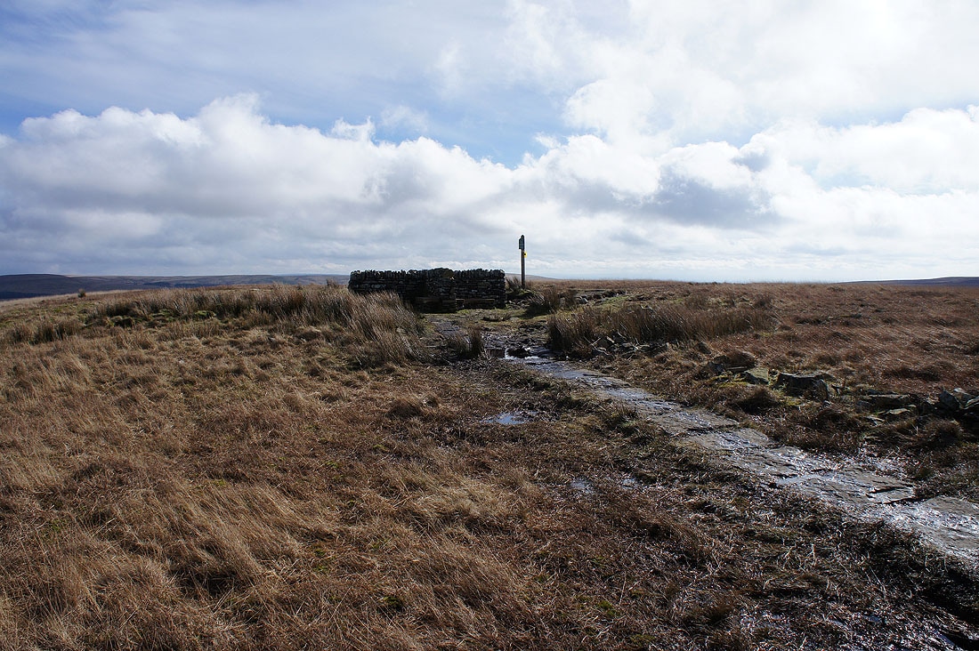
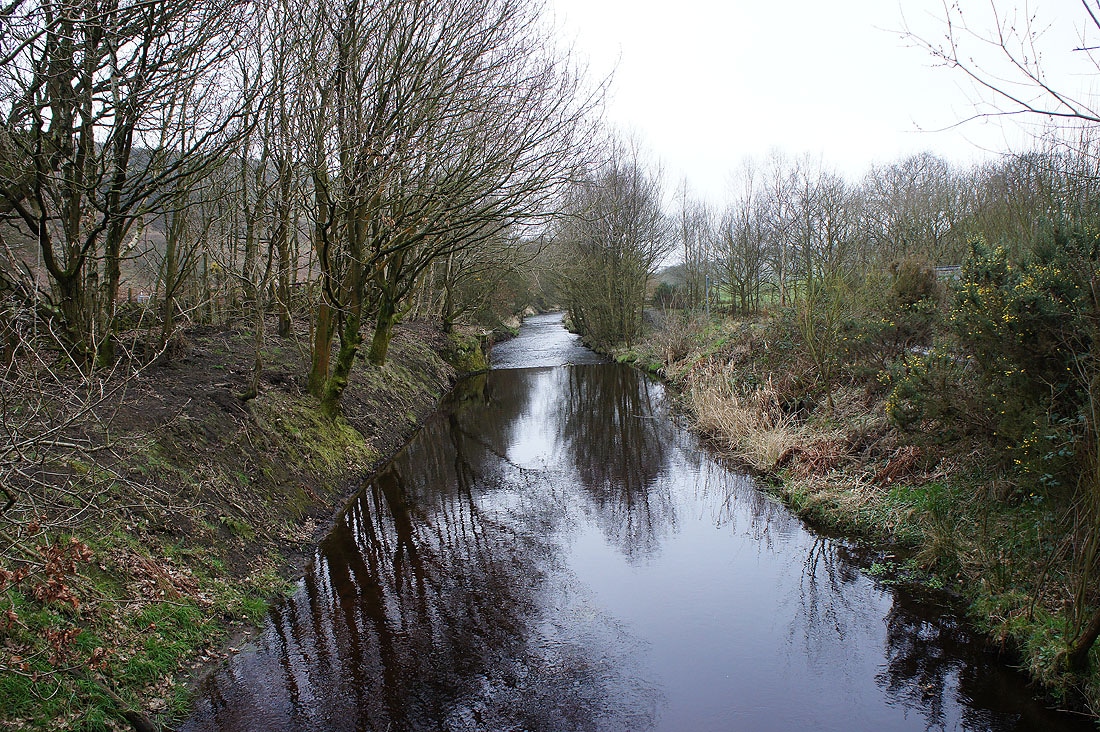
The information plaque in Lead Mines Clough
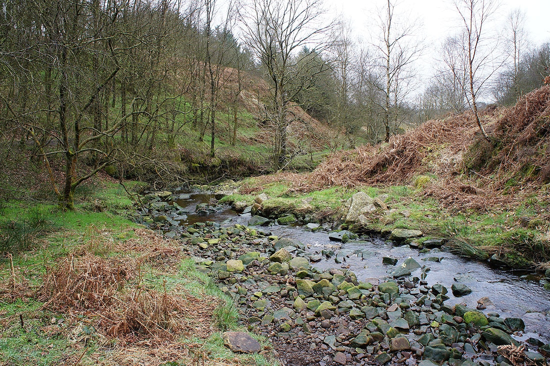
and a few photos of Limestone Brook that flows down through it...
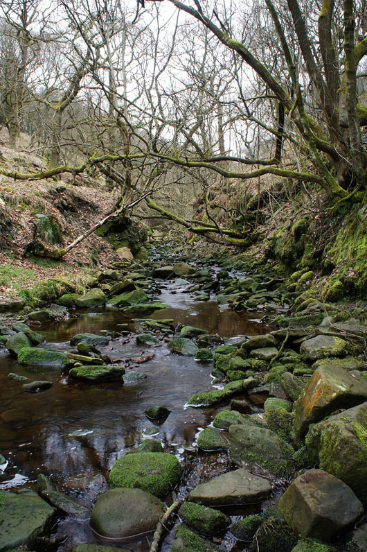
|
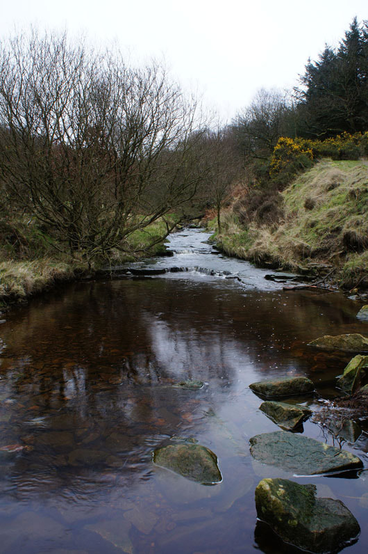
|
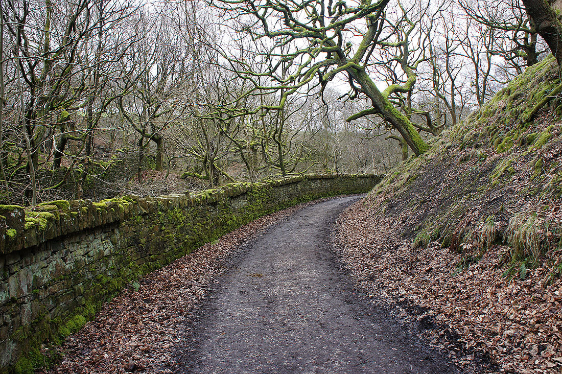
Moss covered walls and trees line the track to Alance Bridge and Yarrow Reservoir
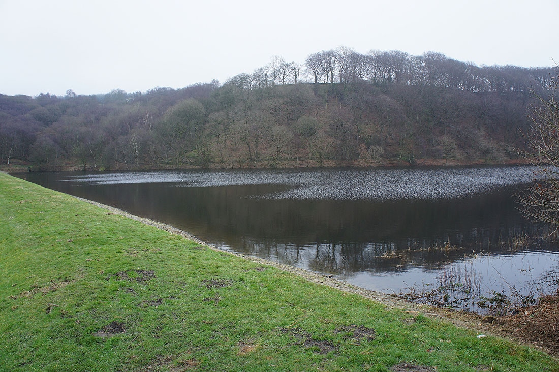
Yarrow Reservoir
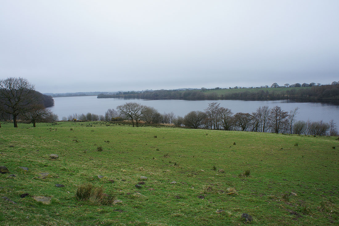
High Bullough Reservoir
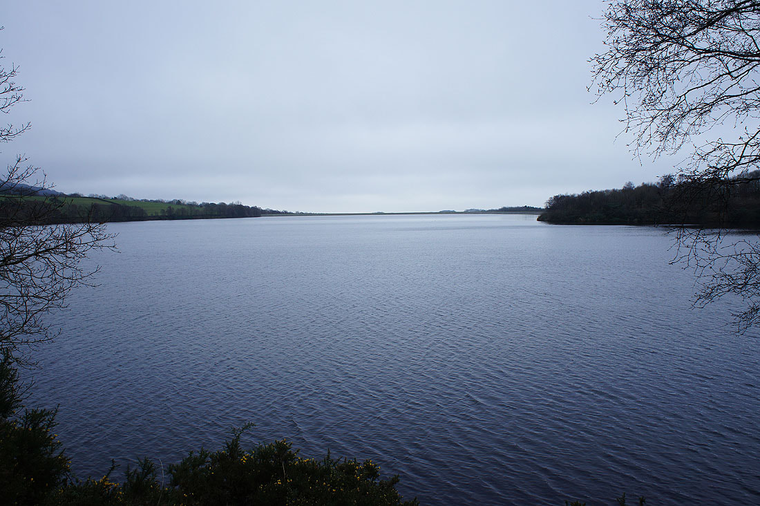
Looking across Anglezarke Reservoir
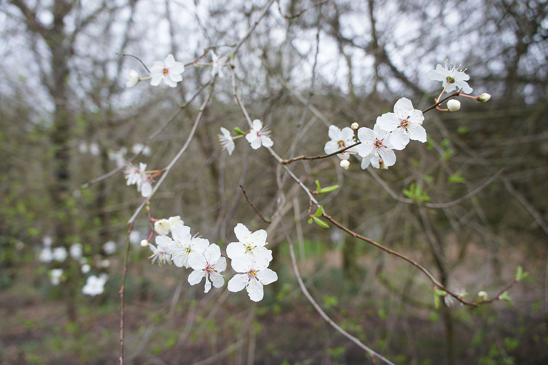
A bit early?
The final stretch back to White Coppice takes me along a path below Stronstrey Bank..
..and across The Goit