12th March 2022 - Pendle Hill
Walk Details
Distance walked: 13.4 miles
Total ascent: 1781 ft
OS map used: OL41 - Forest of Bowland & Ribblesdale and 287 - West Pennine Moors
Time taken: 7 hrs
Route description: Pendleton-Pendleton Road-Wiswell-Moor Lane-Deer Park Wood-Clerk Hill-Clerk Hill Road-Wiswell Moor Houses-The Rough-Nick of Pendle-Pendleton Moor-Deerstones-Ogden Clough-Pendle Hill-Downham Moor-Worston Moor-Mearley Moor-Pendleton Moor-Nick of Pendle-Wymondhouses-Pendleton
It's been six months since my last walk on Pendle Hill, so a visit was a little overdue, and since I'd decided to stay local for my walk this weekend it was an obvious choice. As with my two previous walks on Pendle Hill I'm setting off from Pendleton. With it being just off the A59 it's easy for me to get to, and gives me the option of just taking in Pendle Hill or adding to it by taking in the moorland above Wiswell and to the south of the Nick of Pendle, which makes the route long enough to be a proper full day's walk, as it did today. It really felt like spring up on the moors with plenty of sunny spells, and even though it was windy the sunshine now has some warmth to it.
After parking in Pendleton I walked along Pendleton Road to Wiswell, before taking Moor Lane on the left which I walked up to reach the footpath south through Deer Park Wood onto Clerk Hill. When I reached a footpath junction I turned left and took the one east to Clerk Hill Road, which I then walked north along to its end and onto the bridleway past Wiswell Moor Houses. I followed this to the northeast until I could leave it on the left and enter access land to make my way up to the trig point on The Rough. After taking in the view I followed the path northeast to the Nick of Pendle, crossed the road, and then made my way up onto Pendleton Moor and to the crags of Deerstones. I then returned to the path on Pendleton Moor and followed it north into and up Ogden Clough, and then up the flagged path to the trig point on the summit. From the trig point I walked north to cross the wall onto Downham Moor, then followed the path west across Downham Moor, then southwest to the Scout Cairn on Worston Moor, and then southwest across Mearley Moor to the Clayton-le-Moors Harriers cairn. I left Mearley Moor by taking a path southeast across Howcroft Brook and onto Pendleton Moor, and I then made my way down Pendleton Moor to the Nick of Pendle, where I took the path down to Wymondhouses once I'd crossed the road. Approaching Wymondhouses I took a footpath on the right that bypasses the farm and then followed it down through fields and back to Pendleton.
Route map
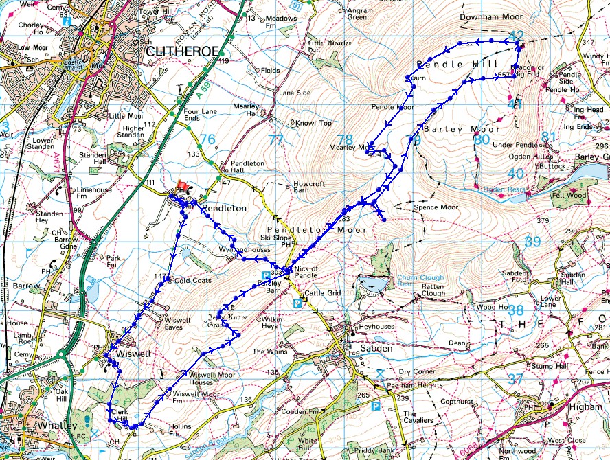
© Crown copyright. All rights reserved. License number PU 100034184.
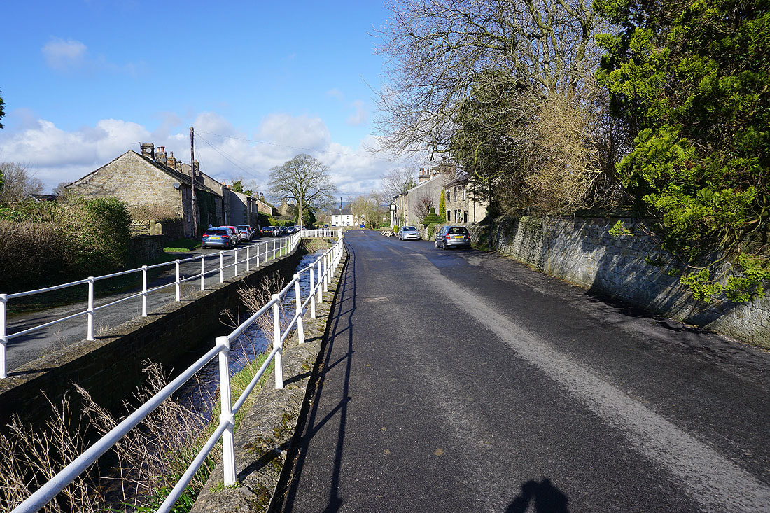
It's a fine spring morning in Pendleton
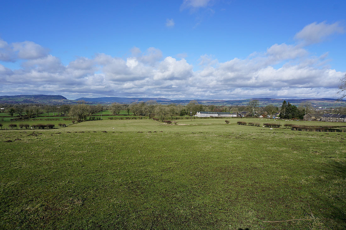
Looking across the Ribble Valley to Longridge Fell, Parlick, Fair Snape Fell, Totridge and Waddington Fell as I walk south along Pendleton Road to Wiswell
Walking along Pendleton Road through Wiswell
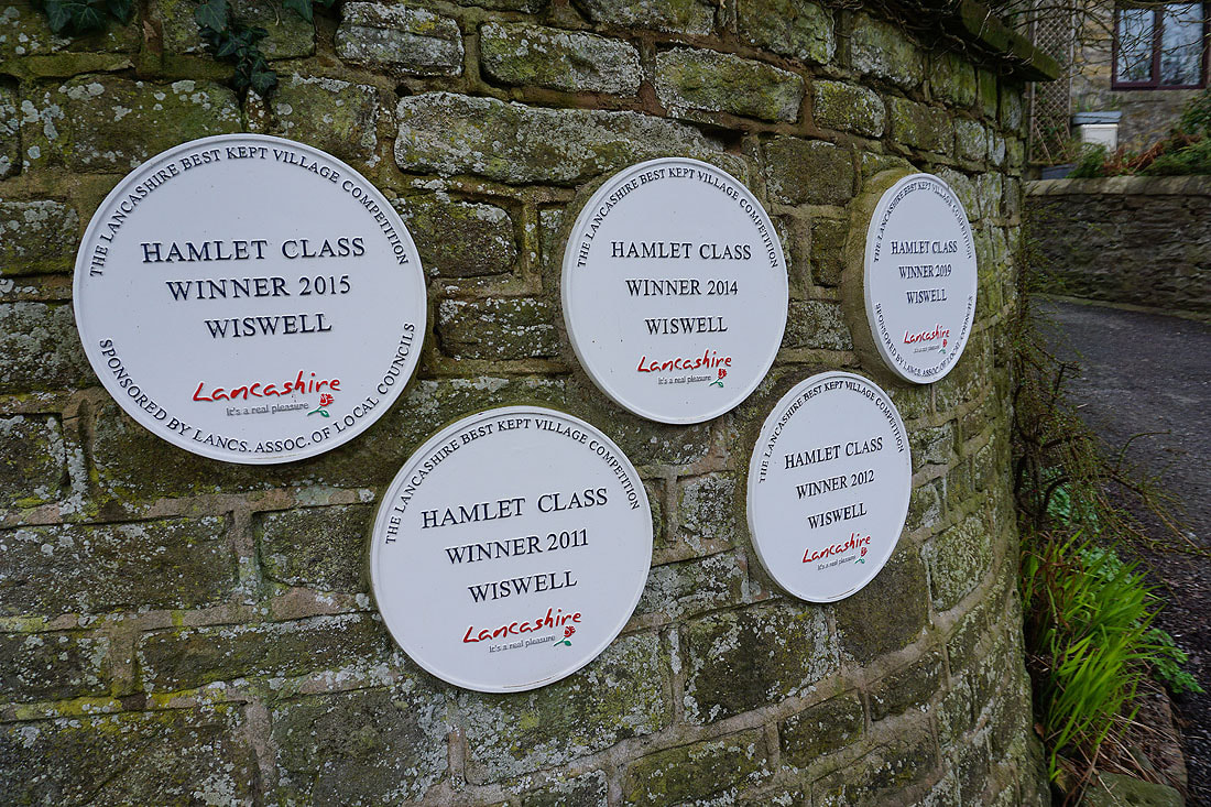
An award winning hamlet
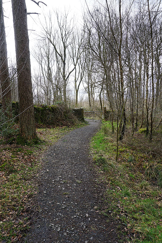
Taking the footpath through Deer Park Wood
Whalley Nab and Whalley from Clerk Hill
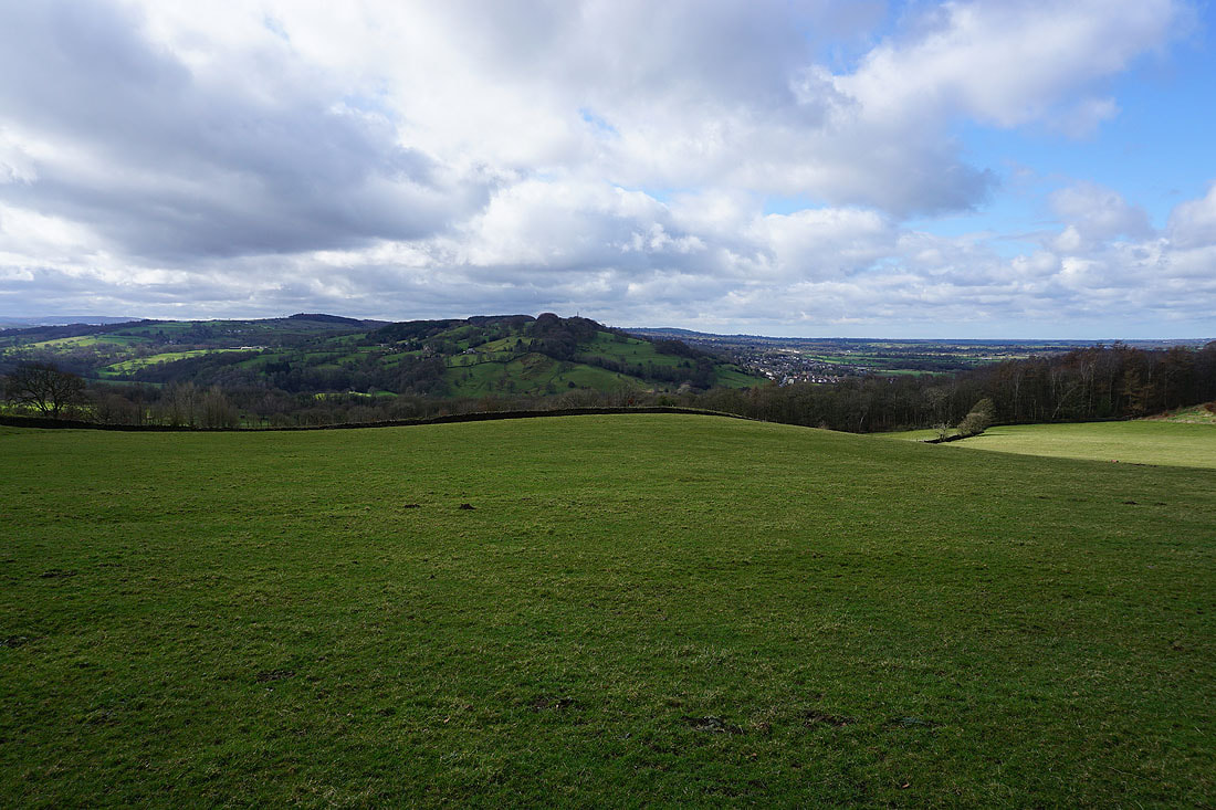
Great Hameldon in the distance
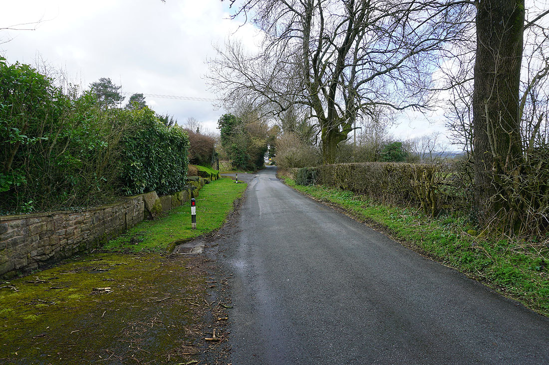
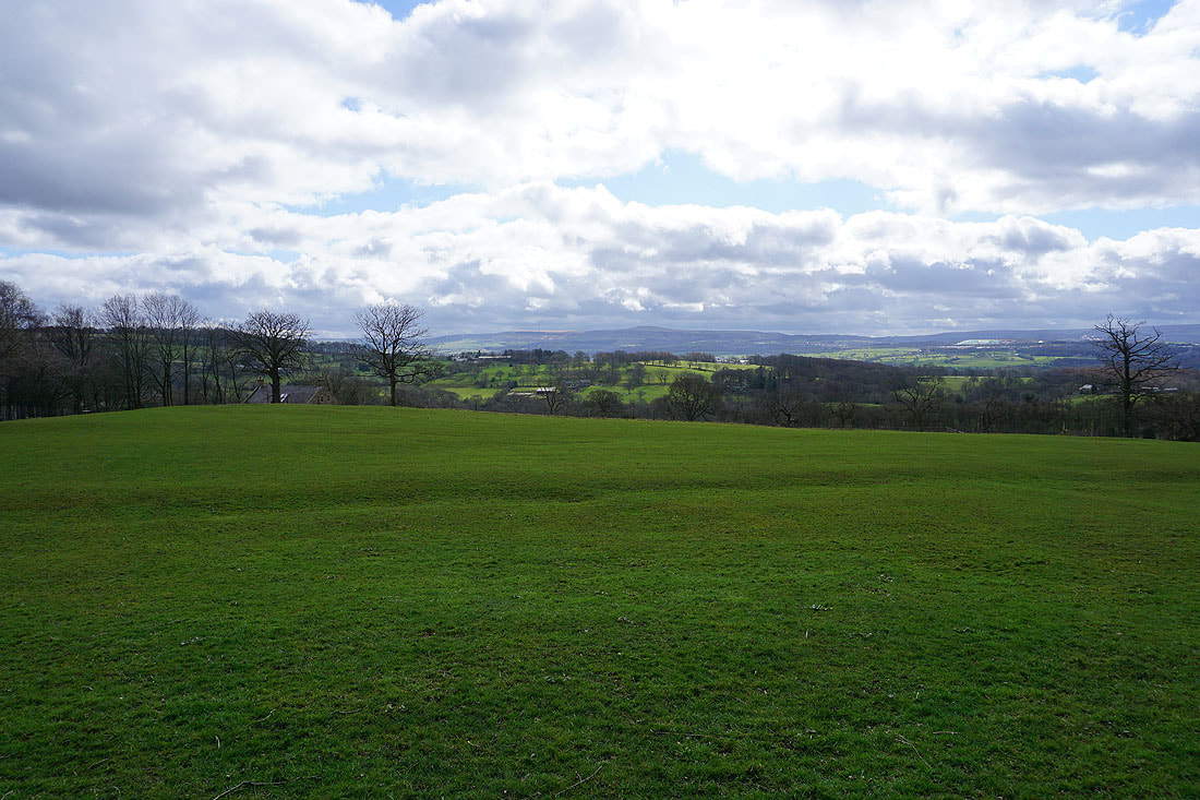
Having crossed Clerk Hill I walk north along Clerk Hill Road, and then along the bridleway towards the Nick of Pendle...
Looking south to Read Heights with Great Hameldon in the distance as I make my way up to the trig point on The Rough
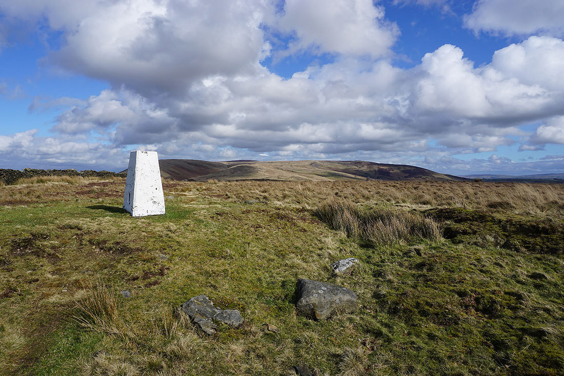
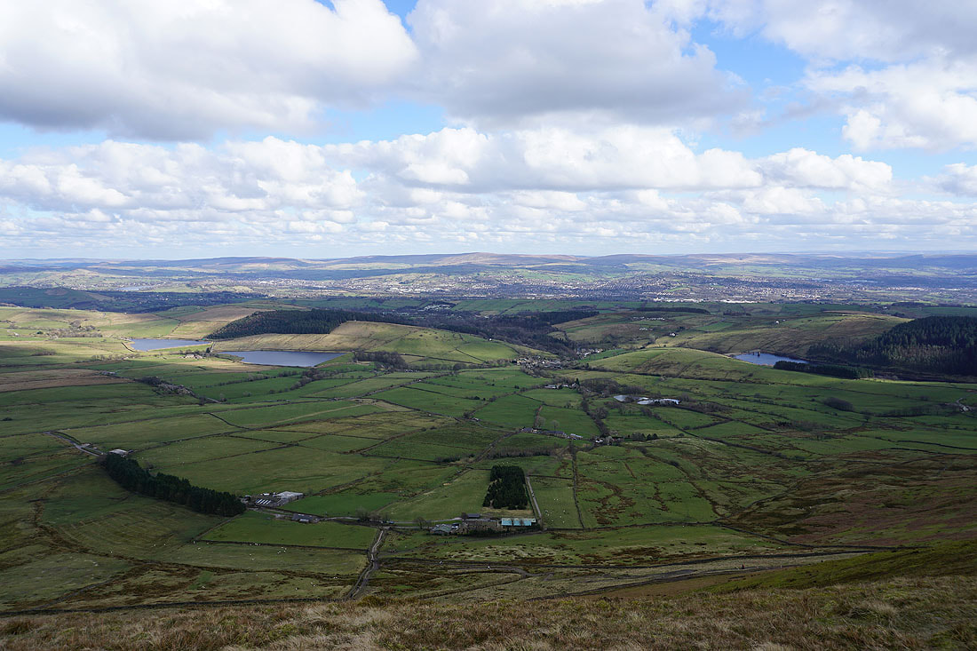
At the trig point on The Rough, with Pendle Hill and Spence Moor to the northeast
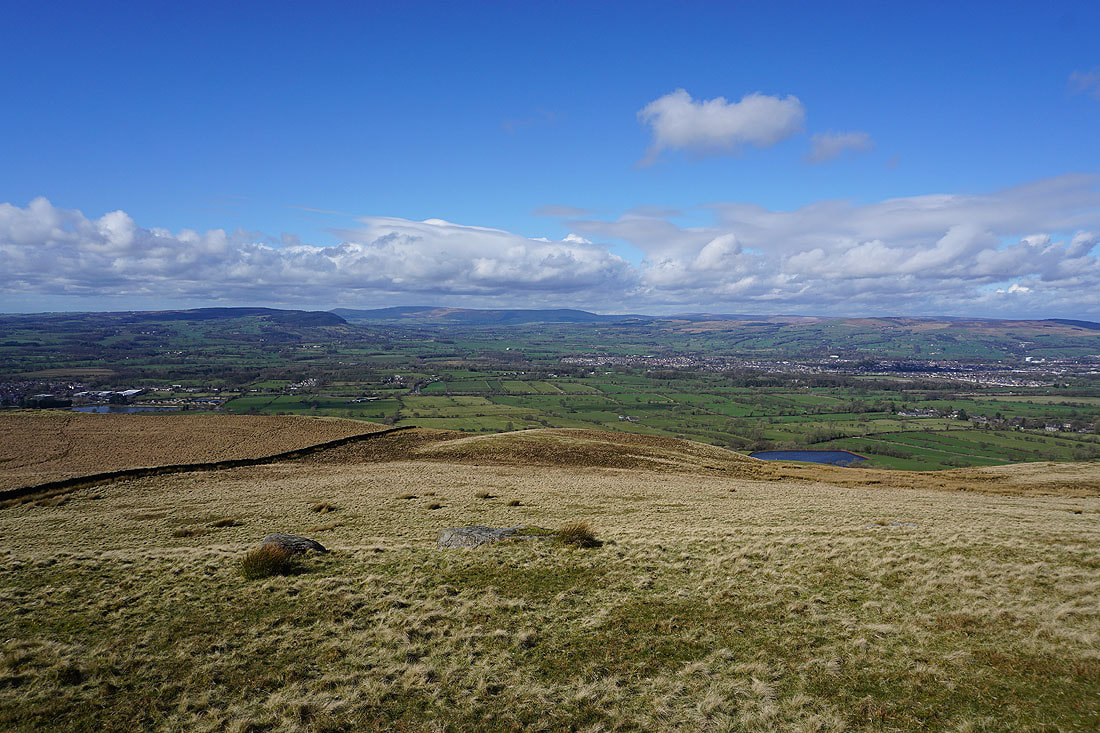
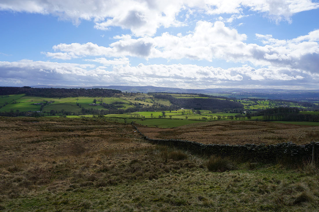
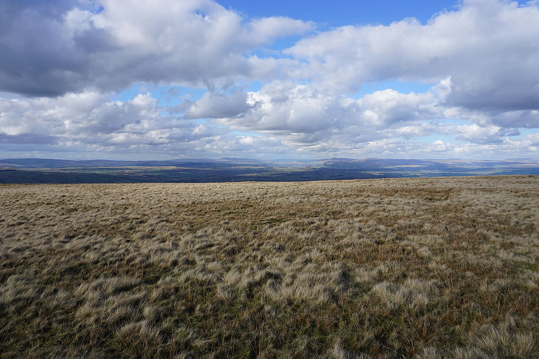
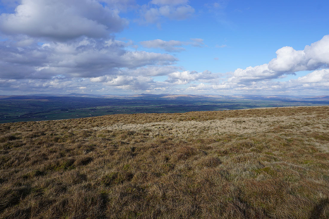
Looking across the Ribble Valley and Clitheroe to the Forest of Bowland..
Whalley and the Ribble Valley to the southwest
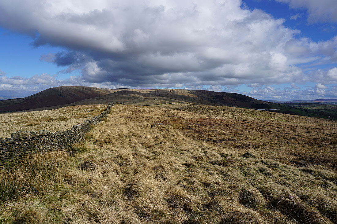
The bulk of Pendle Hill looms large as I head for the Nick of Pendle
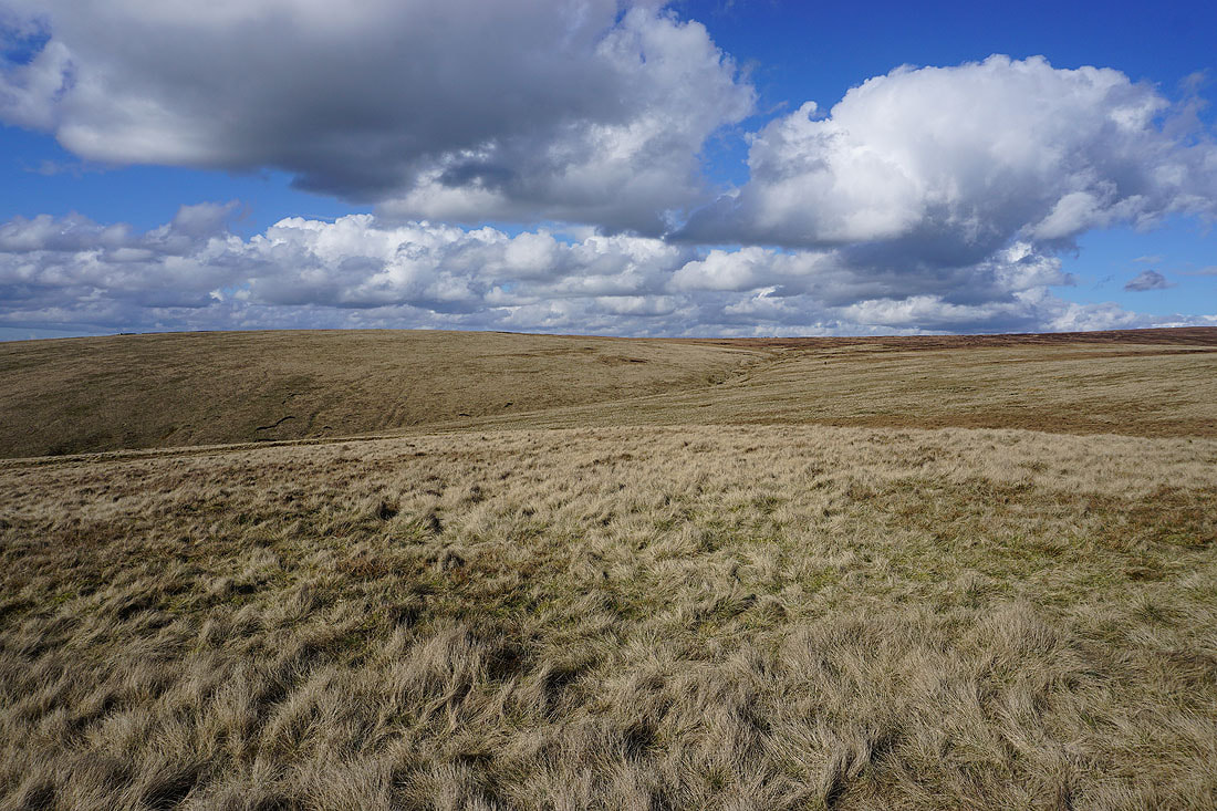
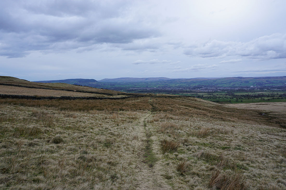
On Pendleton Moor
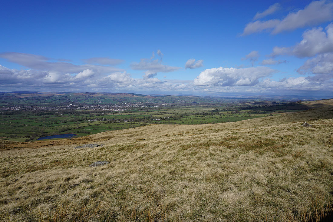
Looking across the Ribble Valley to Longridge Fell, Parlick, Fair Snape Fell, Totridge and Waddington Fell from Pendleton Moor
and back to the Nick of Pendle and The Rough
It's a lovely spring afternoon for being on the moors
The Rough, Pendleton Moor and the Ribble Valley as I head for the top of Deerstones
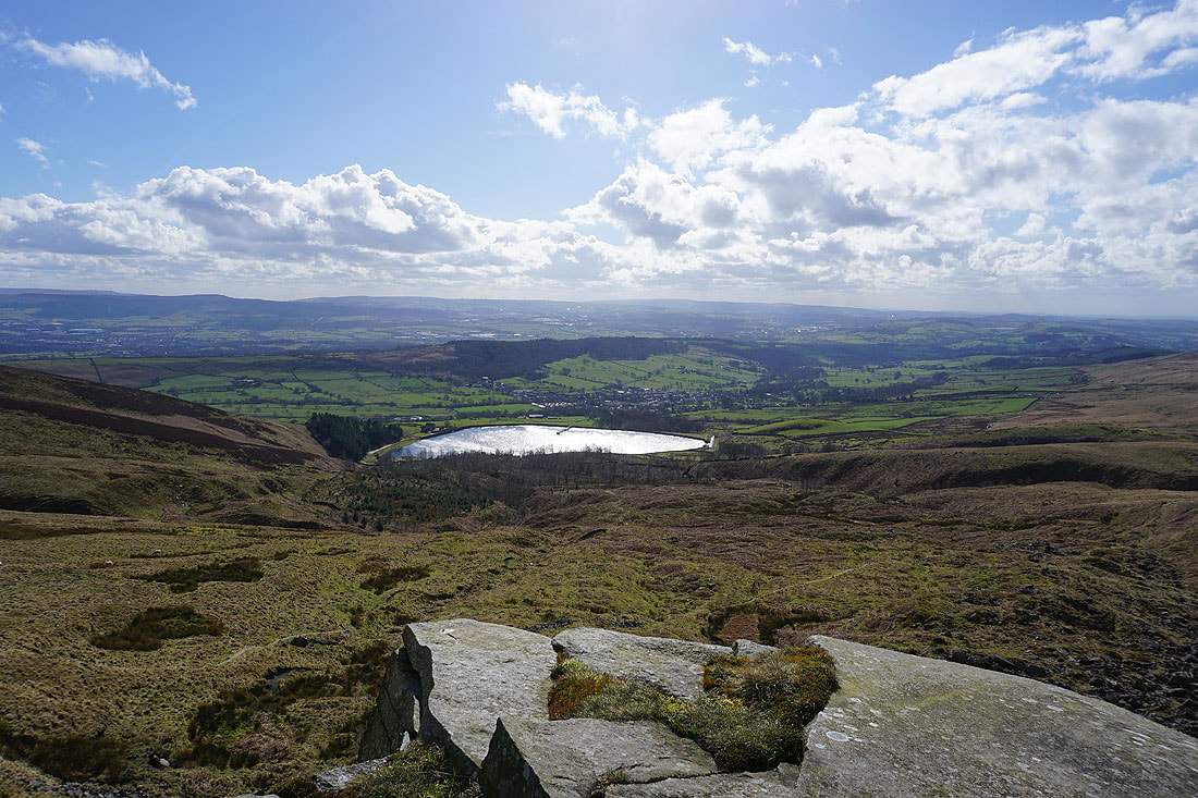
A brief detour to Deerstones to take in the view of Churn Clough Reservoir, Sabden and Black Hill, with the West Pennine Moors in the distance
and looking across Pendleton Moor to Longridge Fell, Parlick, Fair Snape Fell and Totridge
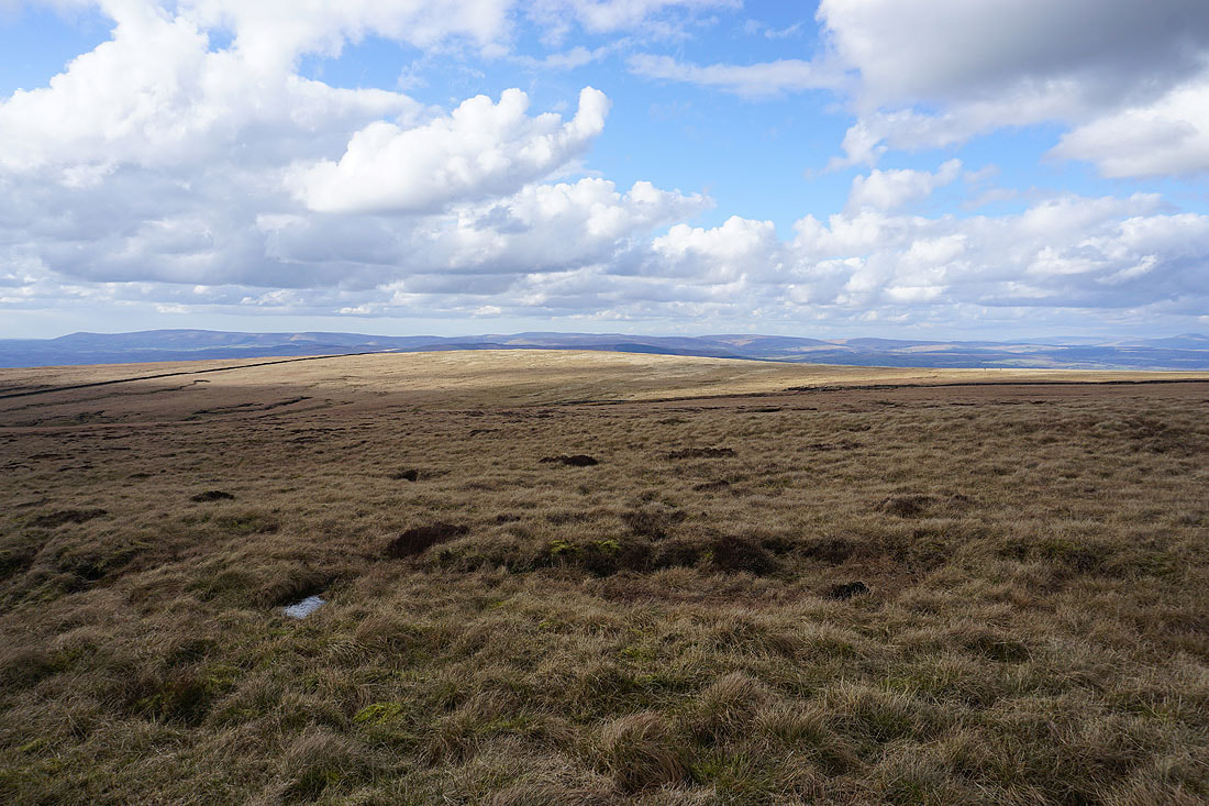
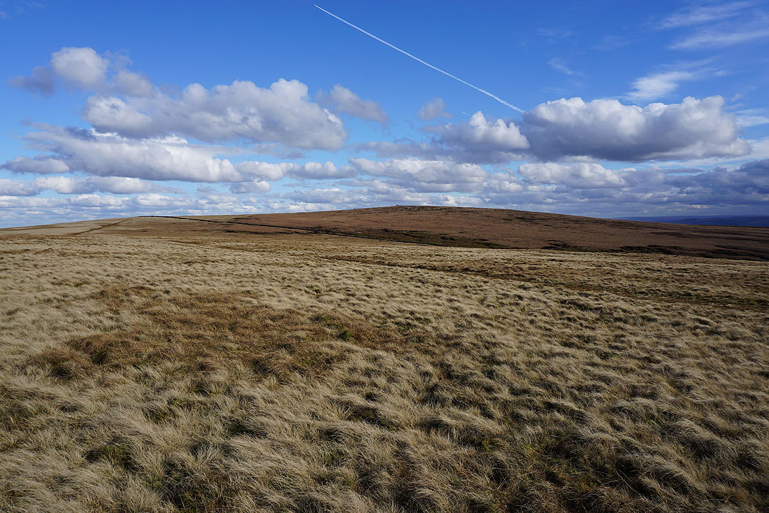
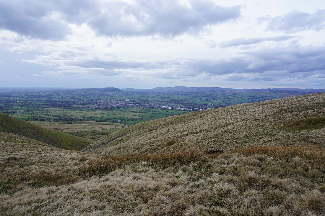
The broad slopes of Mearley Moor. I'll be over there in a couple of hours time.
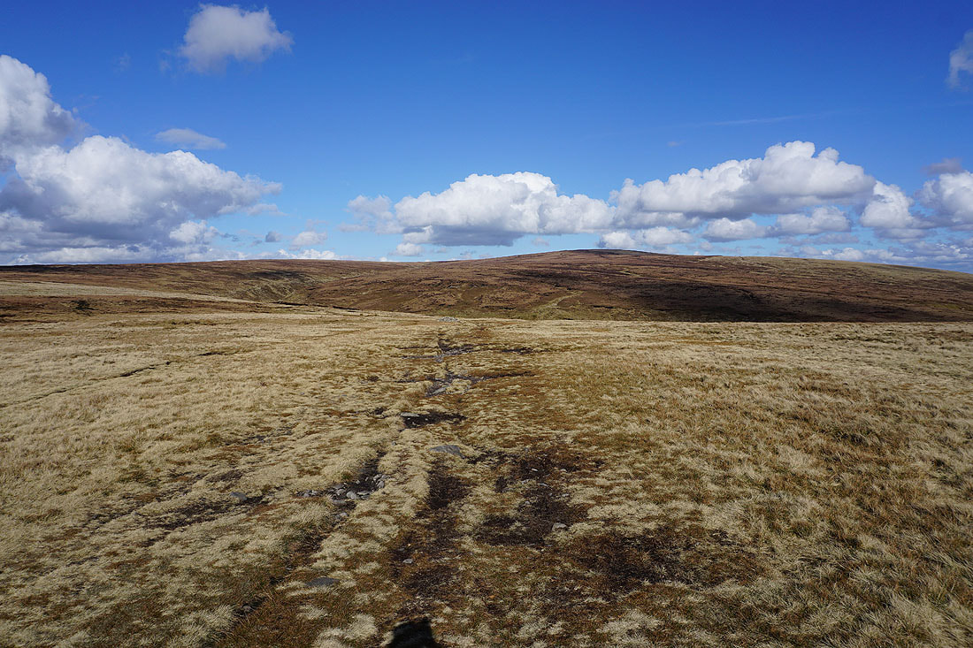
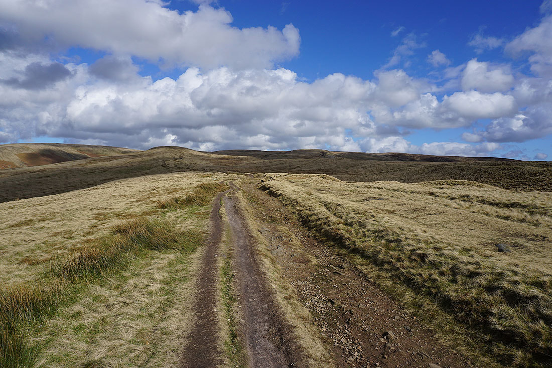
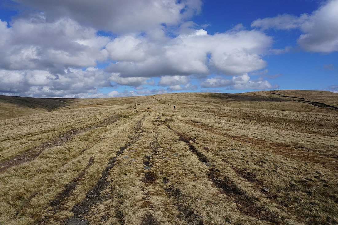
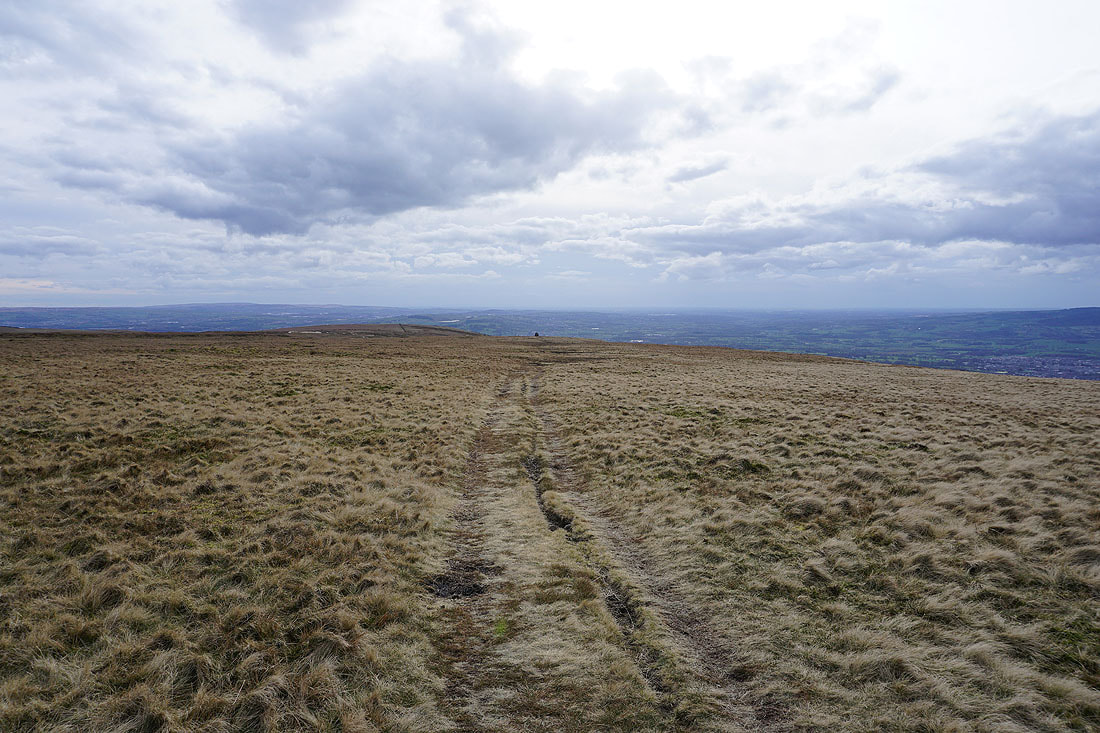
Pendle Hill ahead as I take the path into Ogden Clough
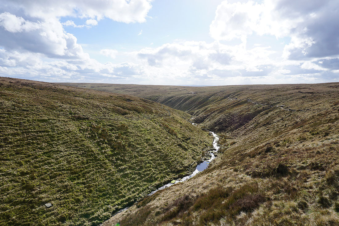
On the path up Ogden Clough..
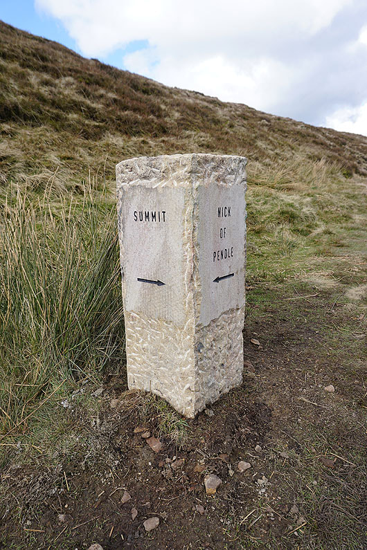
A new addition to the landscape. Handy for those in need of direction.
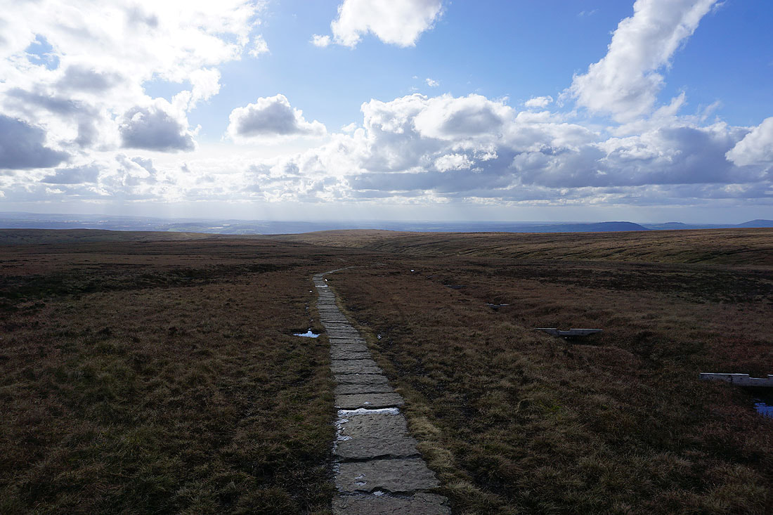
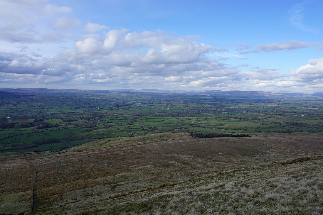
Looking back to the Ribble Valley from the flagged path to the summit
and across Downham Moor to the Forest of Bowland
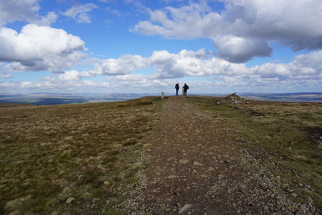
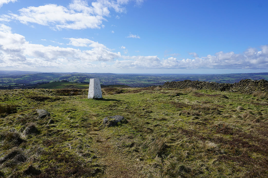
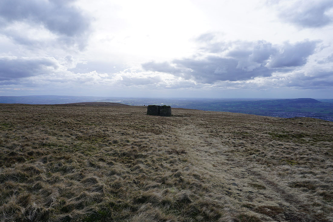
On the summit of Pendle Hill
The view to the east to Boulsworth Hill in the distance, with the Black Moss Reservoirs, Barley, and Lower Ogden Reservoir below
Ingleborough, Penyghent, the moors above Settle and Malham, and Great Whernside to the north and northeast
Twiston Moor and the Black Moss Reservoirs
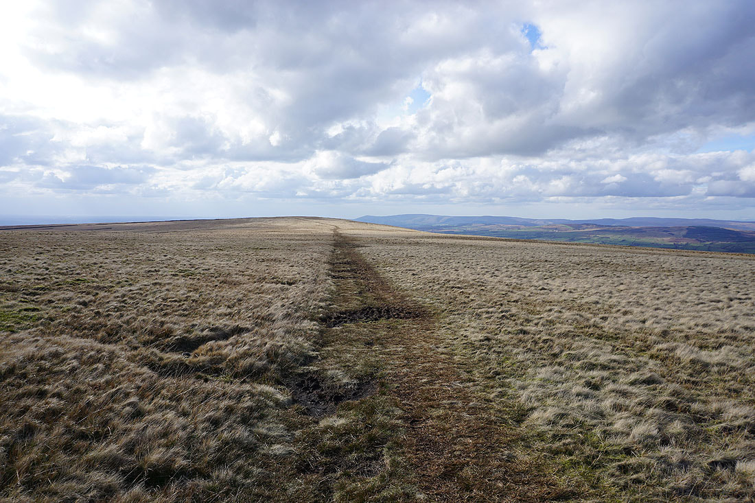
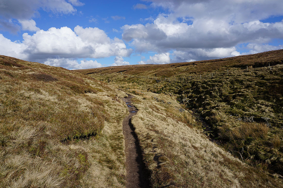
Heading west across Downham Moor
Ingleborough, Penyghent and Fountains Fell in the distance
Looking back to the summit of Pendle Hill from Downham Moor
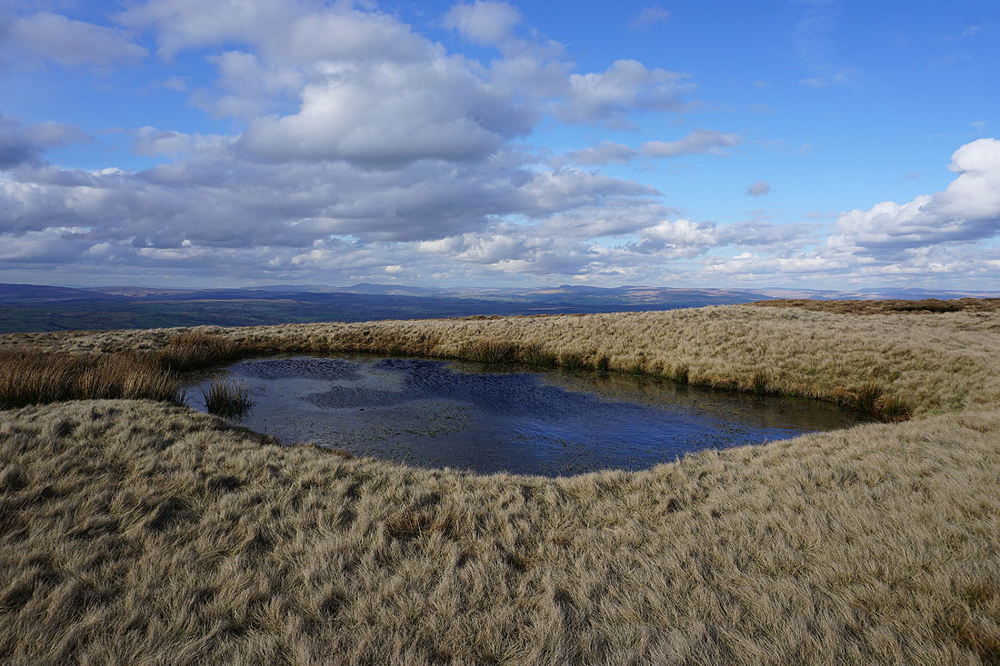
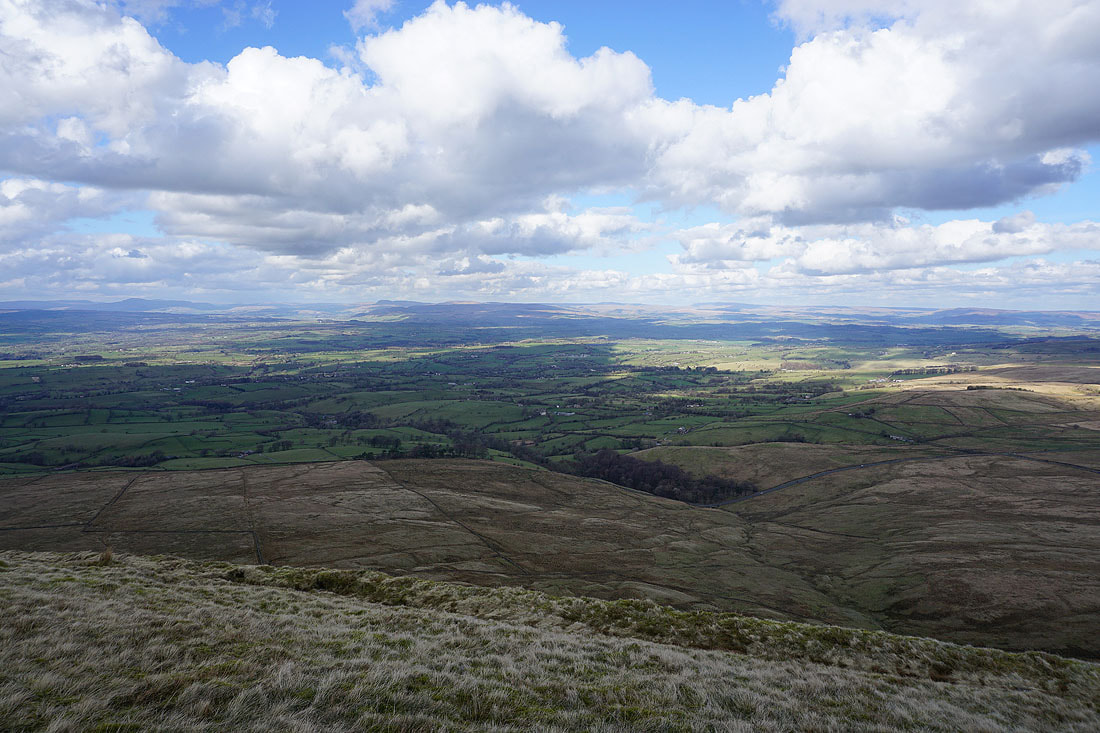
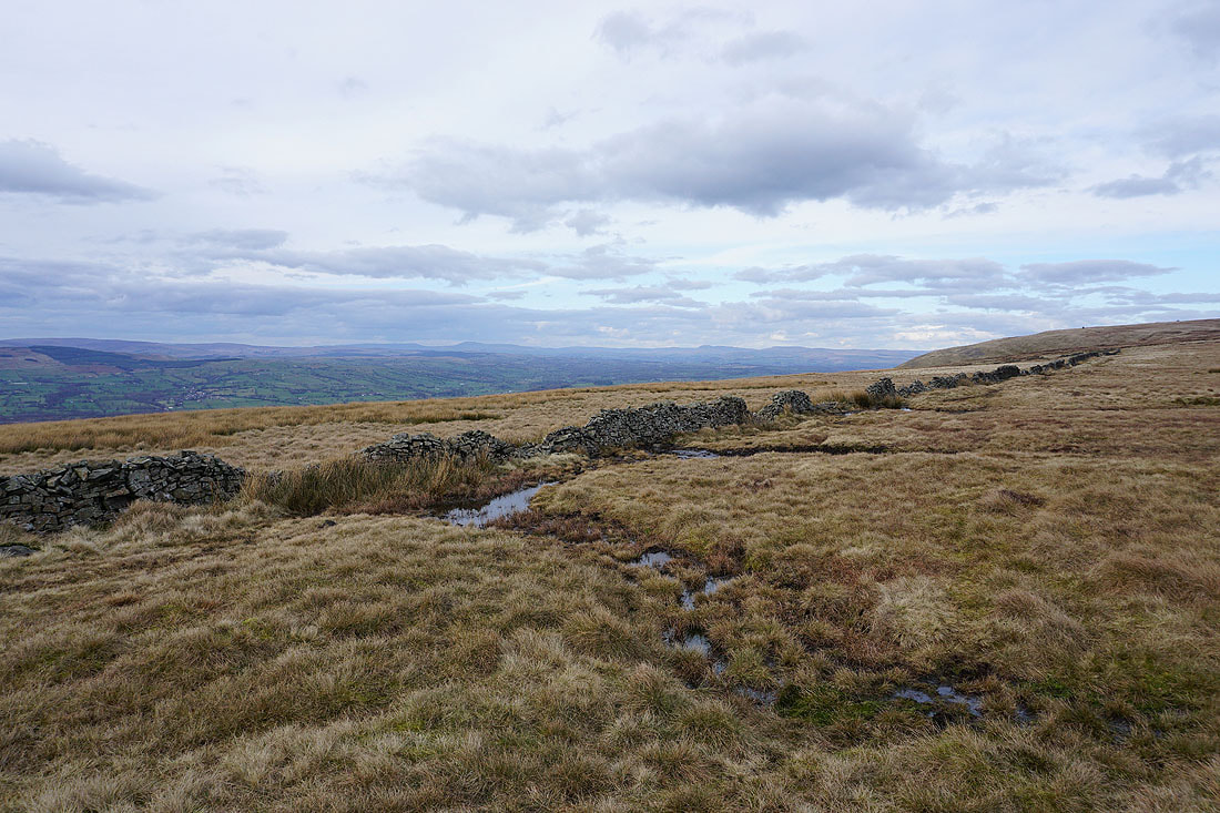
This pool on Downham Moor has become a favourite spot for me to stop and take photos. Looking up the Ribble Valley to Ingleborough and Penyghent.
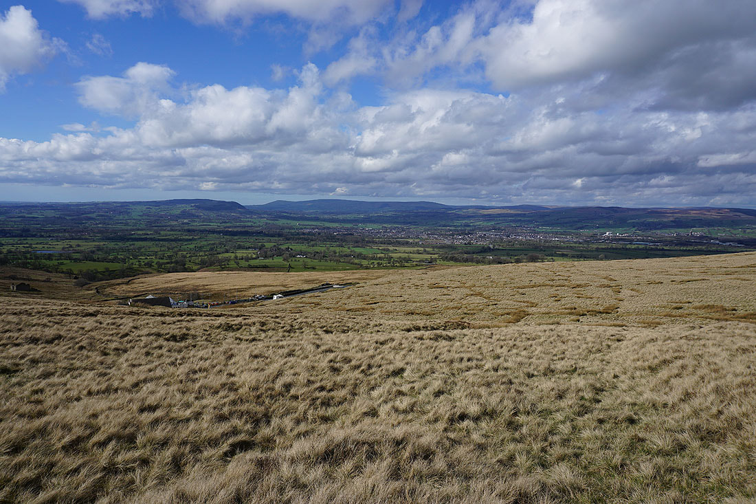
and across the Ribble Valley to the Forest of Bowland
Ingleborough, Penyghent, Fountains Fell, Buckden Pike and Great Whernside in the distance
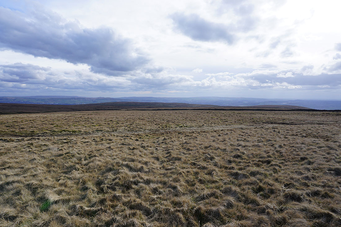
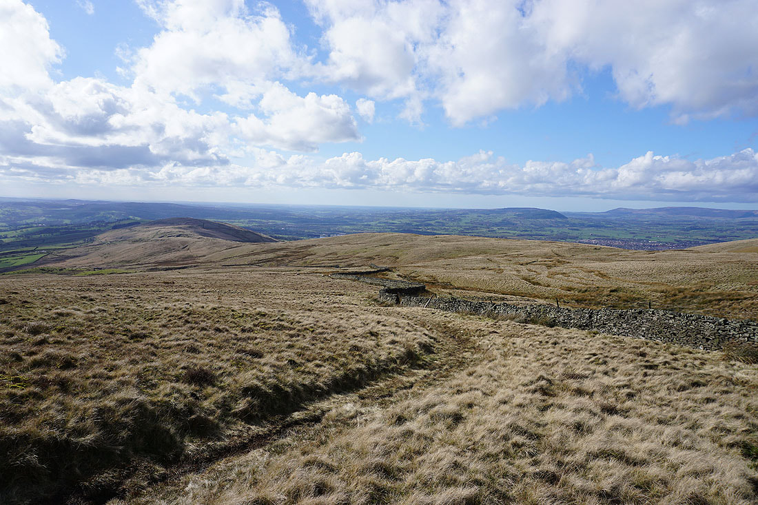
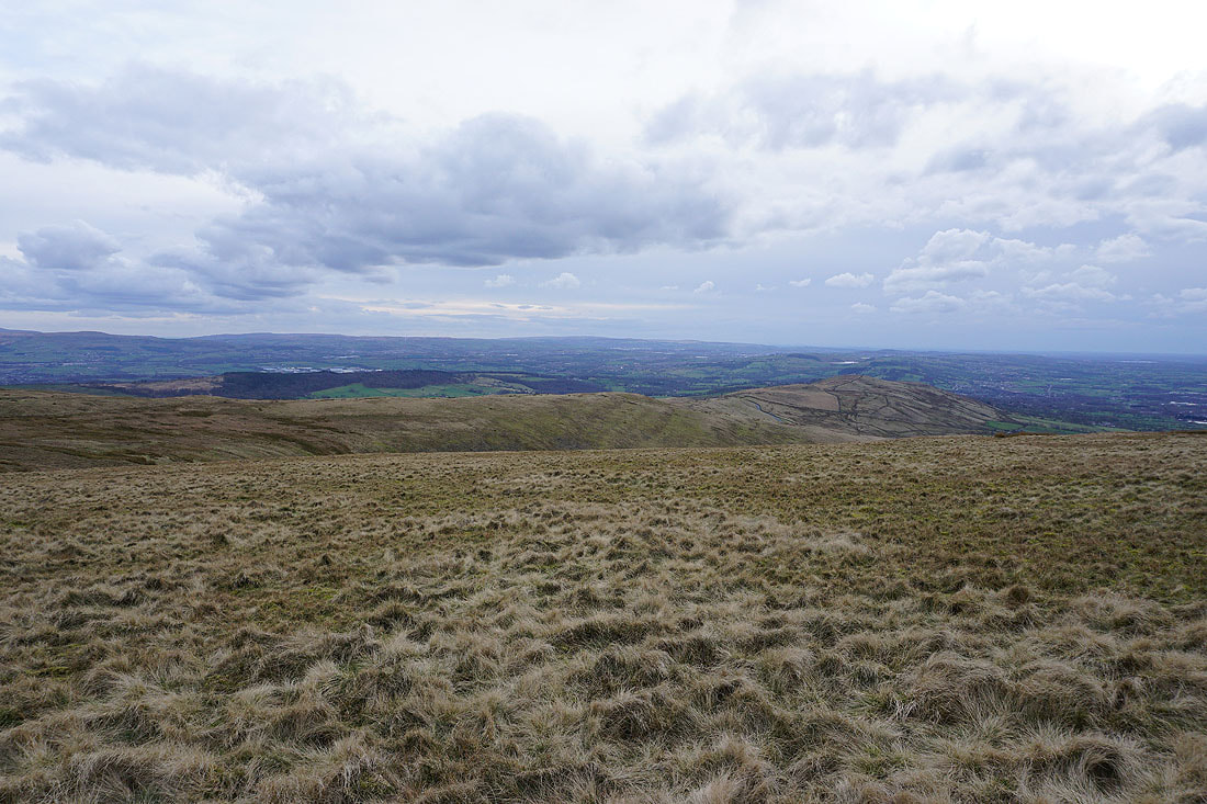
The West Pennine Moors in the distance beyond Spence Moor
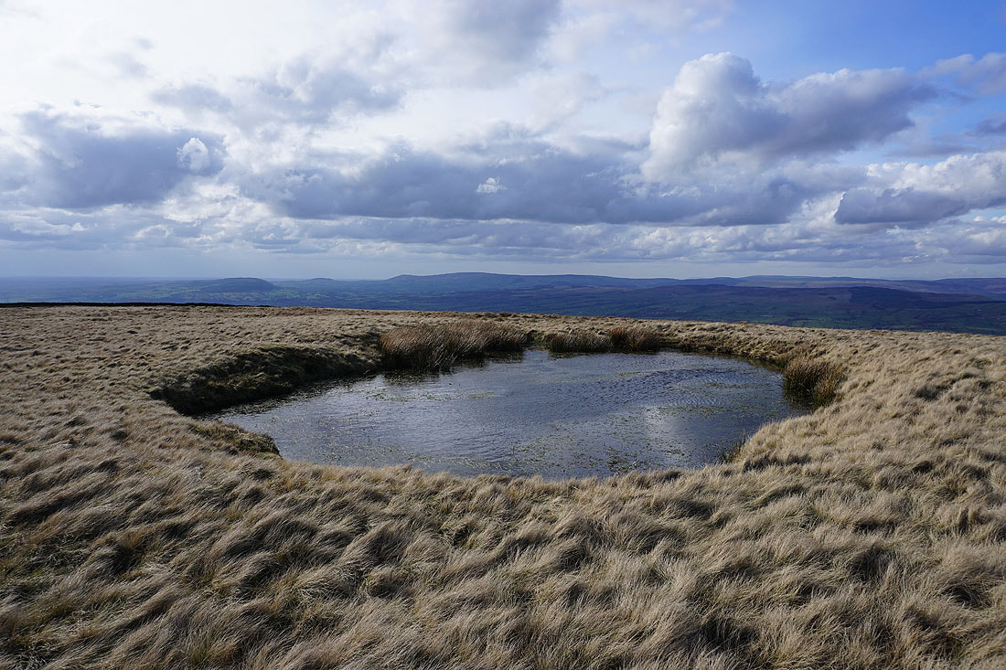
Looking up the Ribble Valley to Ingleborough and Penyghent from the edge of Worston Moor
Heading across Worston Moor past the circular shelter to the Scout Cairn..
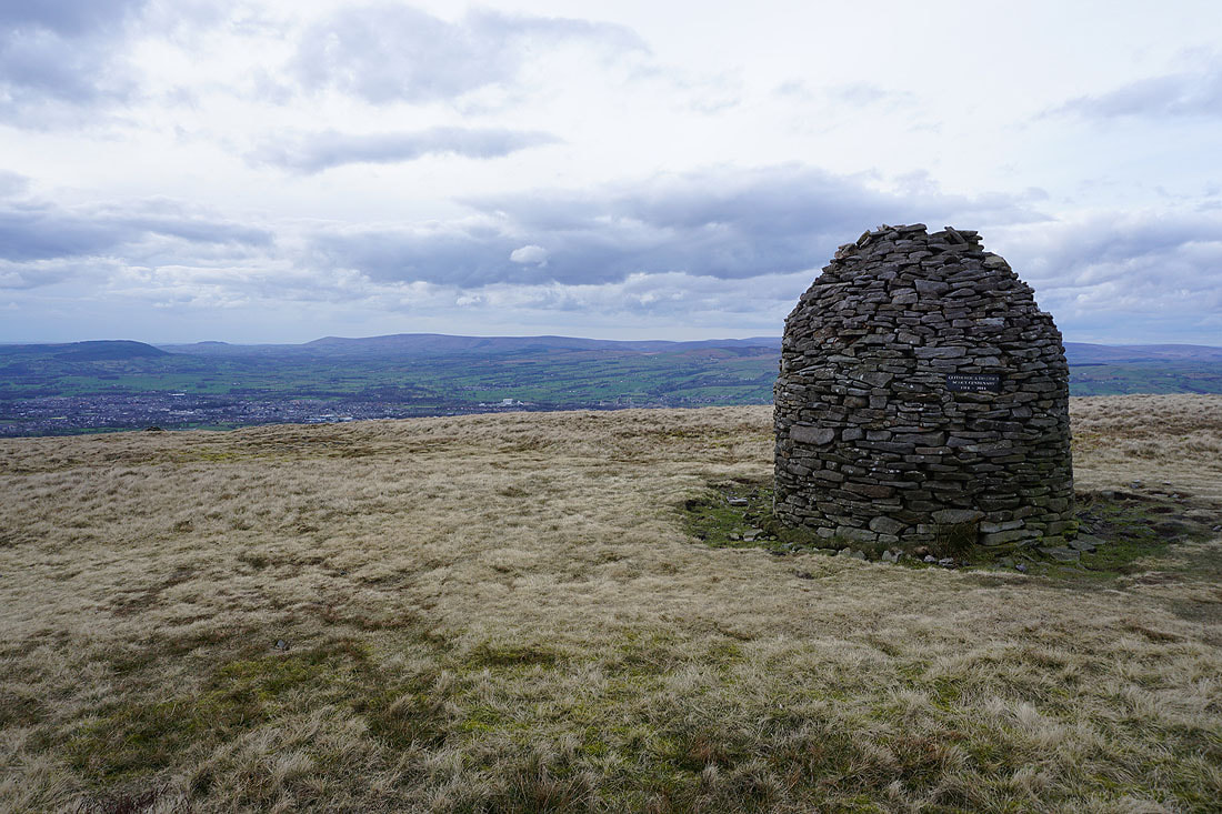
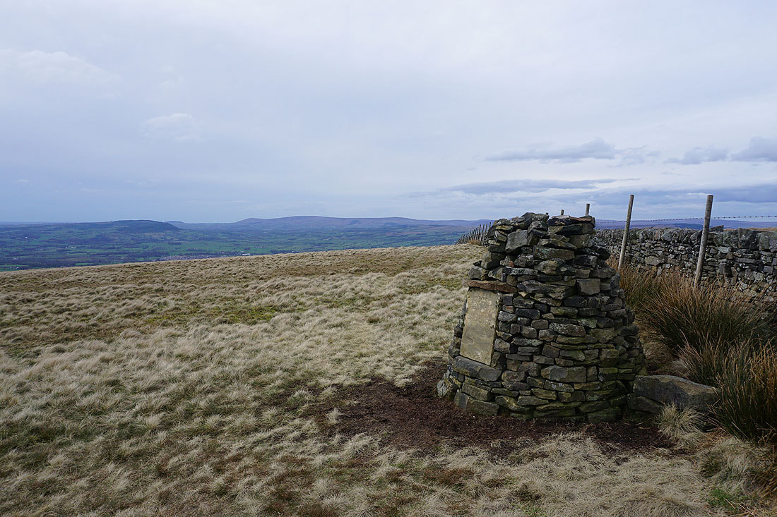
At the Scout Cairn, with the Forest of Bowland in the background
The Ribble Valley below as I cross the top of Mearley Brook
Heading southwest across Mearley Moor
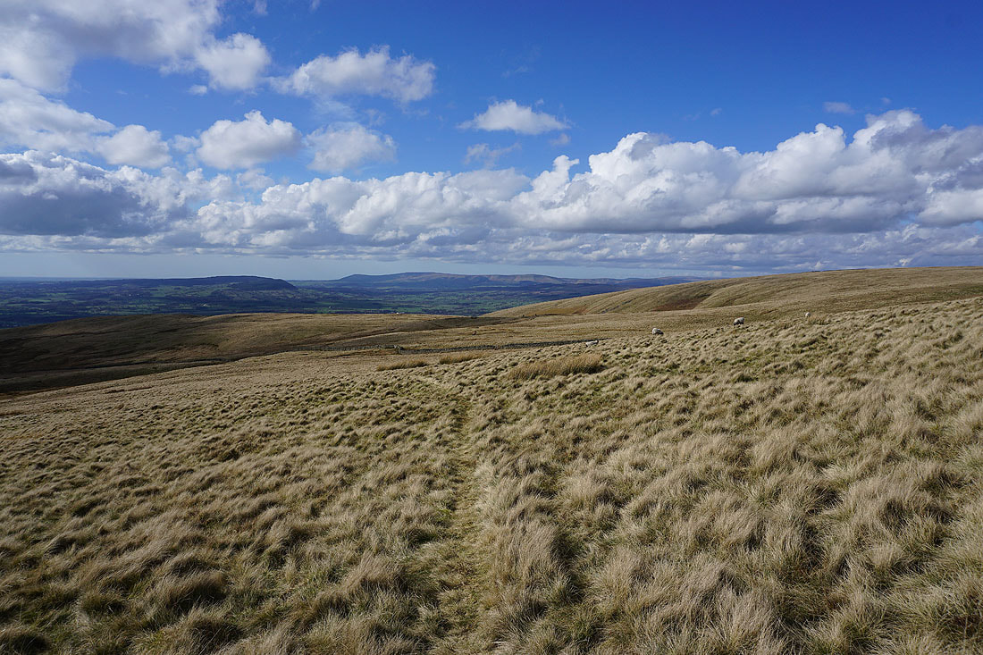
The Yorkshire Dales in the distance from Mearley Moor
The Clayton-le-Moors Harriers cairn at the western end of Mearley Moor
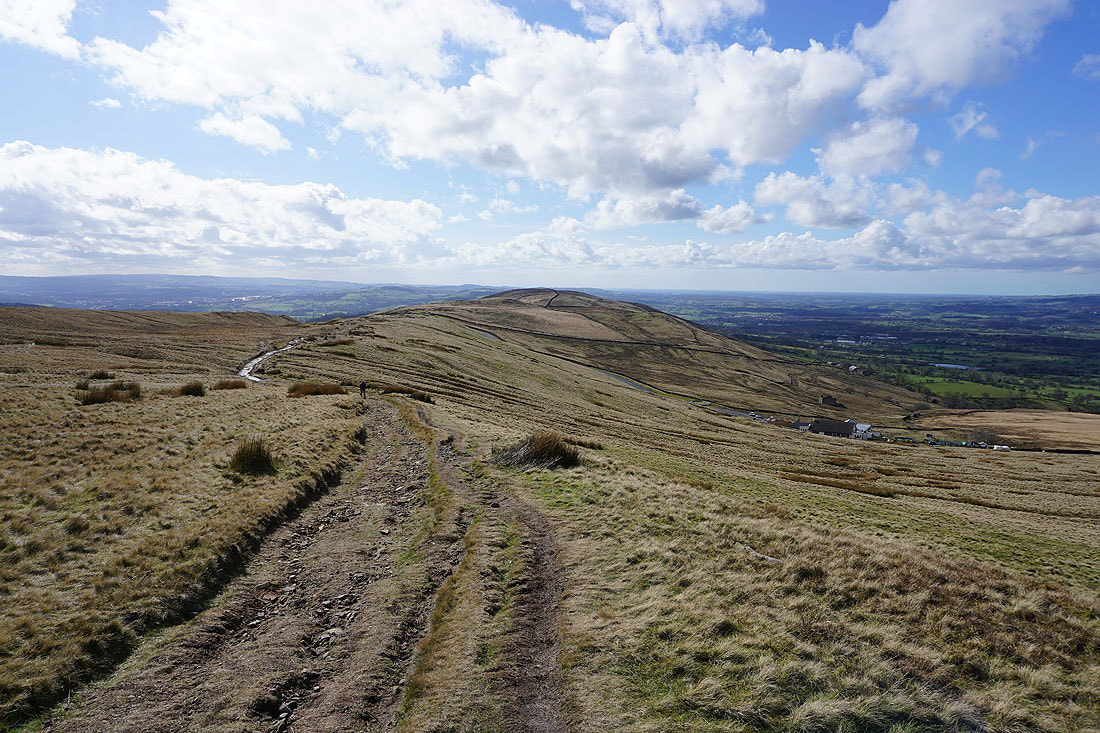
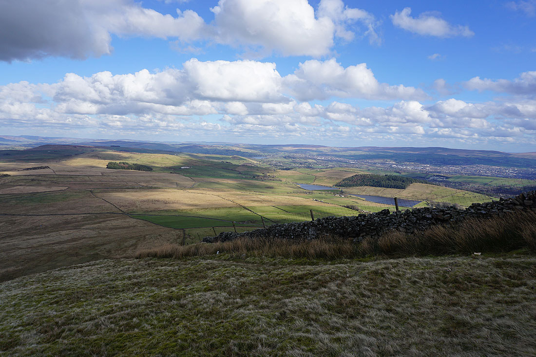
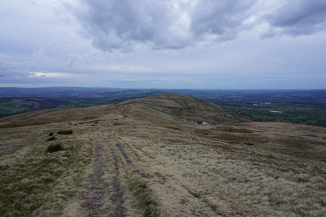
Pendleton Moor and The Rough, with the West Pennine Moors in the distance
Heading back to the Nick of Pendle
Having crossed the road at the Nick of Pendle, following the path down to Wymondhouses
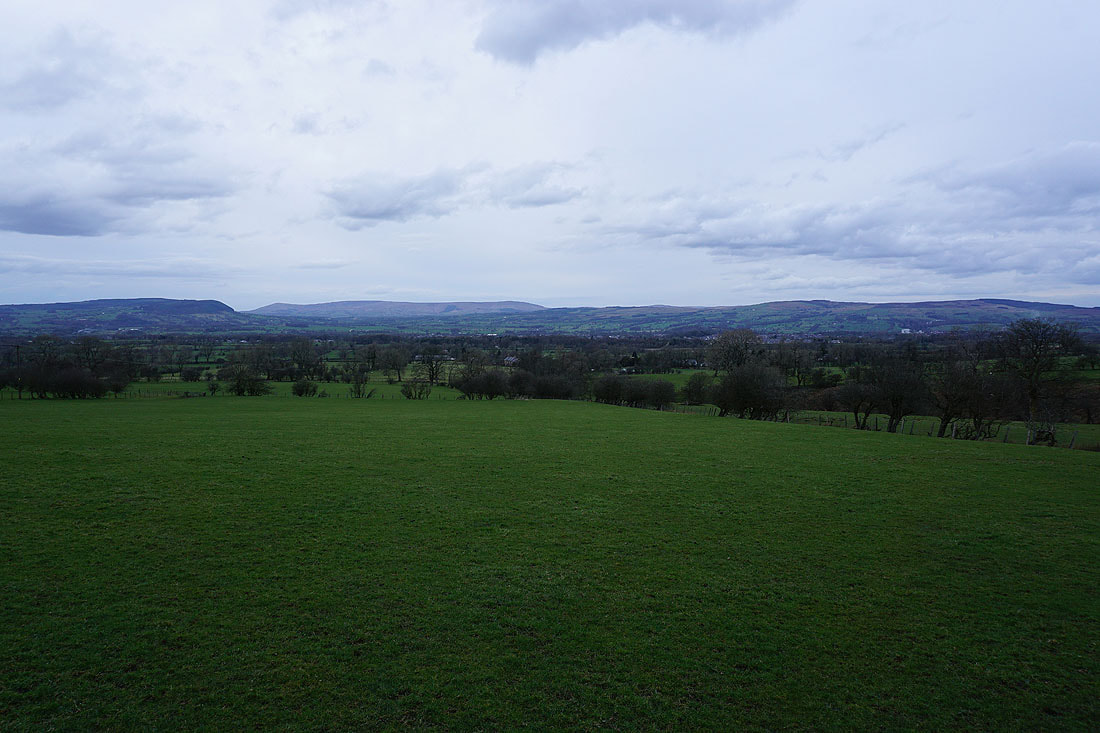
Longridge Fell, Parlick, Fair Snape Fell, Totridge and Waddington Fell as I head back down to Pendleton
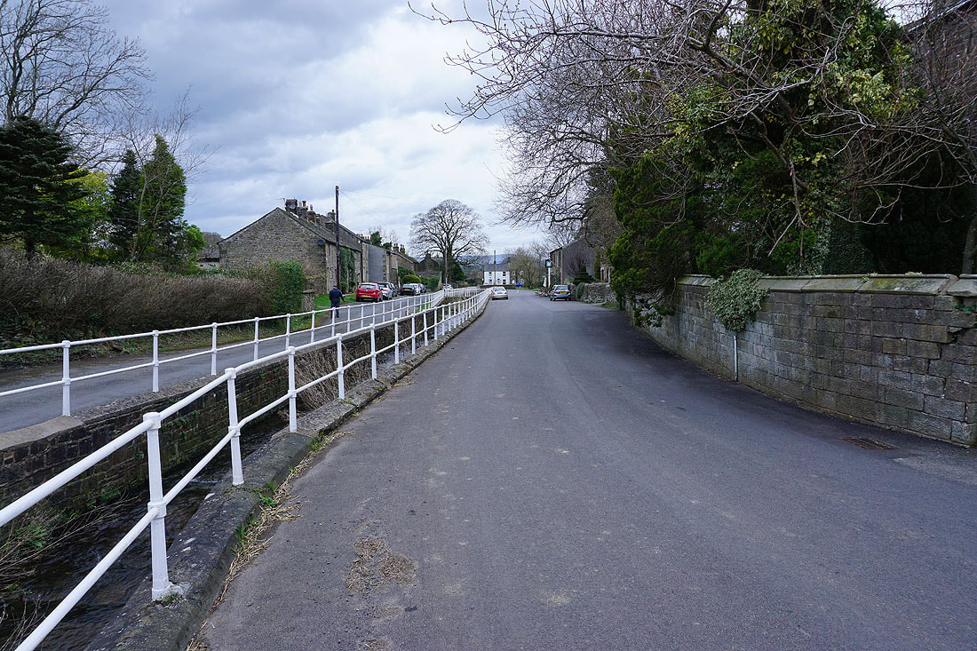
Back in Pendleton