12th May 2012 - Wild Boar Fell with Clouds
Walk Details
Distance walked: 10.0 miles
Total ascent: 2101 ft
OS map used: OL19 - Howgill Fells & Upper Eden Valley
Time taken: 7 hrs
Route description: Old quarry on minor road next to A683-Elm Pot-road to Uldale House-Uldale Gill-Swarth Fell-Wild Boar Fell-Sand Tarn-Fell End Clouds-Stennerskeugh Clouds-Old quarry on minor road next to A683
I've done Wild Boar Fell and Swarth Fell a couple of times but both times I did the same route from Mallerstang. I've also wanted to visit the limestone scars of Fell End and Stennerskeugh Clouds so I worked out this route to combine both. There was quite a lot of pathless walking and boggy in places too so rough going underfoot.
From where I parked by the minor road there was a bit of road-walking to do at first. From the road into Uldale I walked onto access land and made my way uphill by Uldale Gill to arrive on the summit of Swarth Fell. I then made my way across to Wild Boar Fell before heading back down via Sand Tarn to visit the Clouds.
Route map
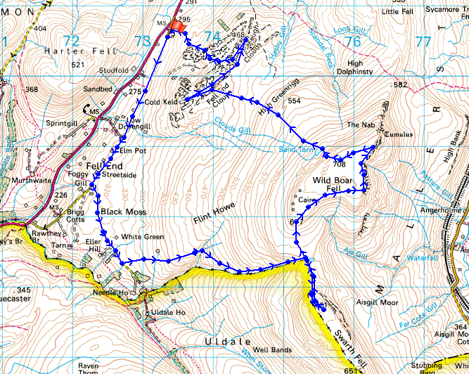
© Crown copyright. All rights reserved. License number PU 100034184.
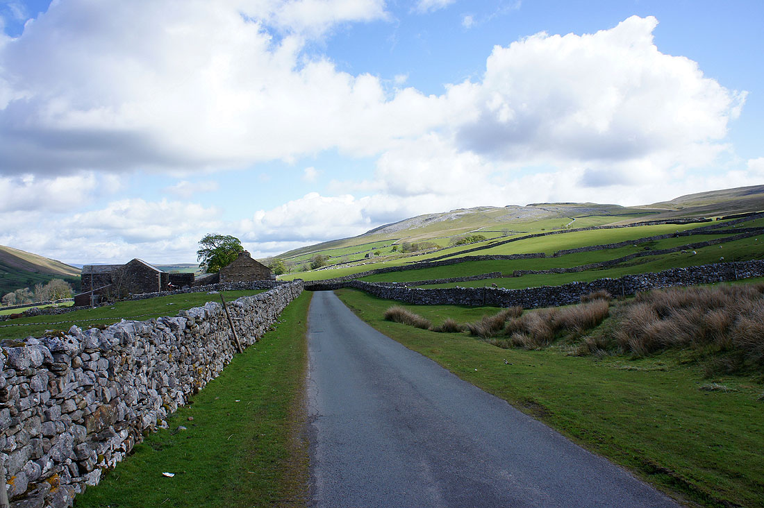
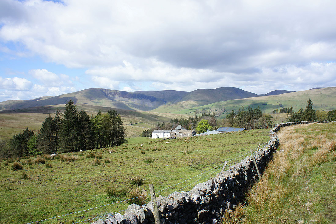
A look back on the road as I head for Uldale. Fell End Clouds are up on the right. Elm Pot farm is on the left.
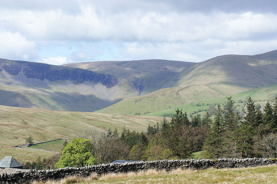
Cautley Crag and the Howgills behind New House Farm
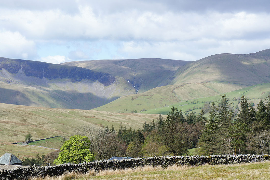
Zooming in and a bit of Cautley Spout is visible
The Howgills as I make my way uphill across access land to Uldale Gill
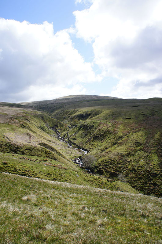
Uldale Gill. I'll be following it to its source between Swarth Fell and Wild Boar Fell, though not in its bed but on the hillside above it. The hill at the top is Swarth Fell.
Grain Gill
|
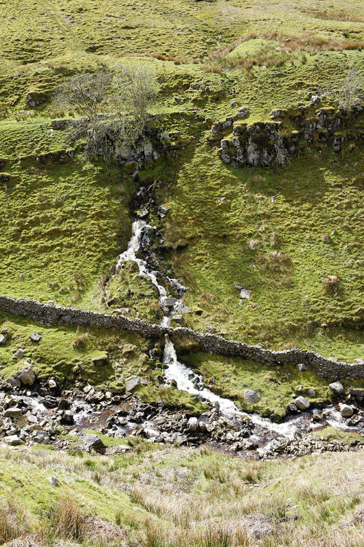
Waterfall bursting out from underground into Uldale Gill
|
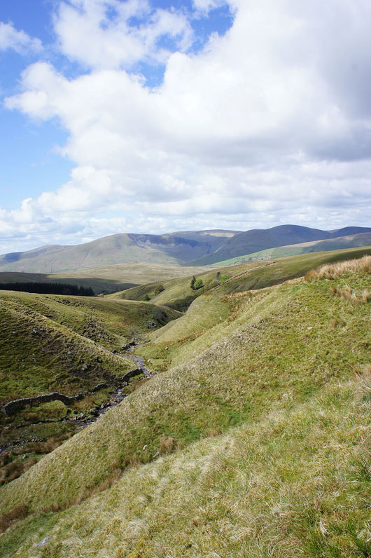
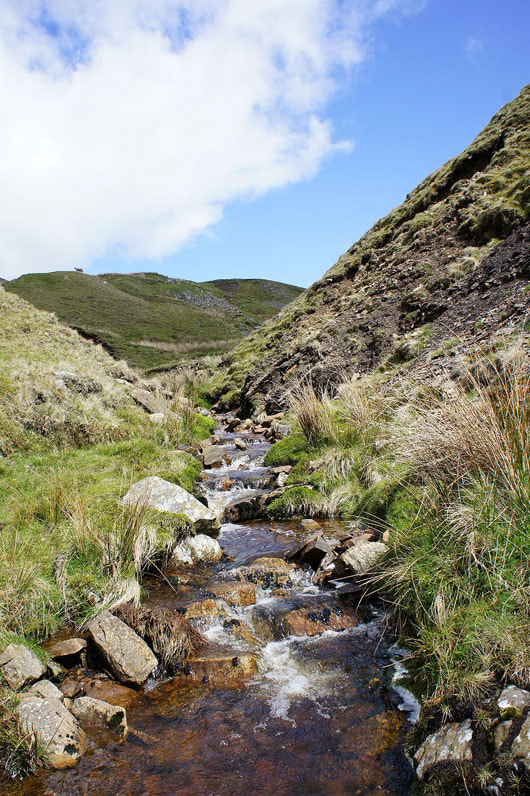
The view back down Uldale Gill
and again as I finally reach its source
Views from the summit of Swarth Fell. Looking across the tops of the Howgills to the Lake District fells.
Ingleborough and Whernside beyond neighbouring Baugh Fell
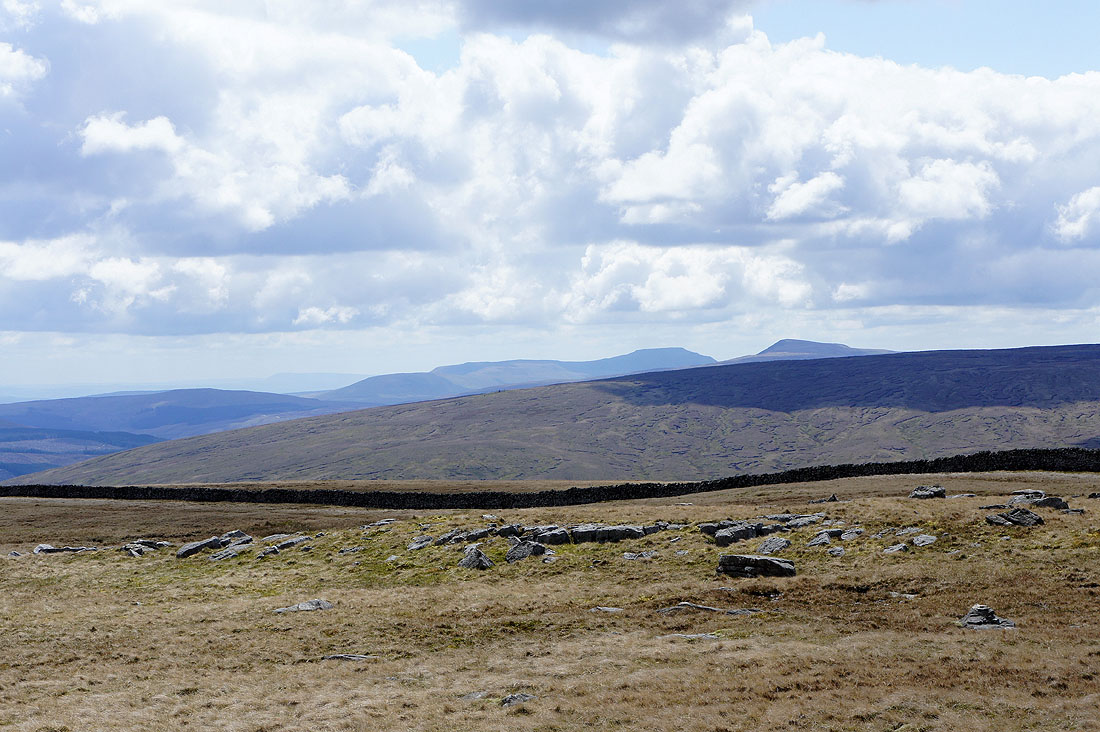
Zooming in and a surprise in the view is Pendle Hill in the far distance to the left of Ingleborough
The view towards the fells around Wensleydale
Wild Boar Fell and High Seat with Mallerstang between them
A great view of the Howgills as I head off Swarth Fell bound for Wild Boar Fell
Swarth Fell from the ascent of Wild Boar Fell
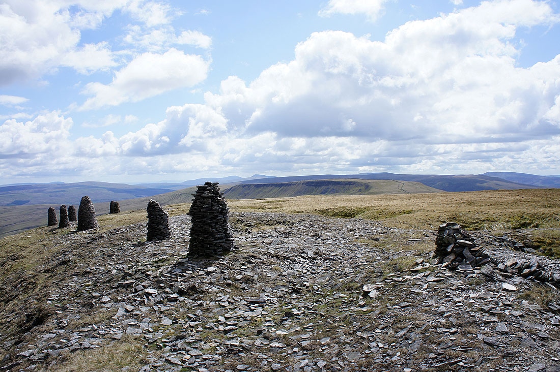
Swarth Fell and beyond from the stone men above High White Scar
Yoadcomb Scar and Blackbed Scar
Mallerstang below. The Settle to Carlisle railway runs through the valley and reaches its highest point at Ais Gill.
Yoadcomb Scar and High White Scar from Blackbed Scar
High Seat on the other side of Mallerstang
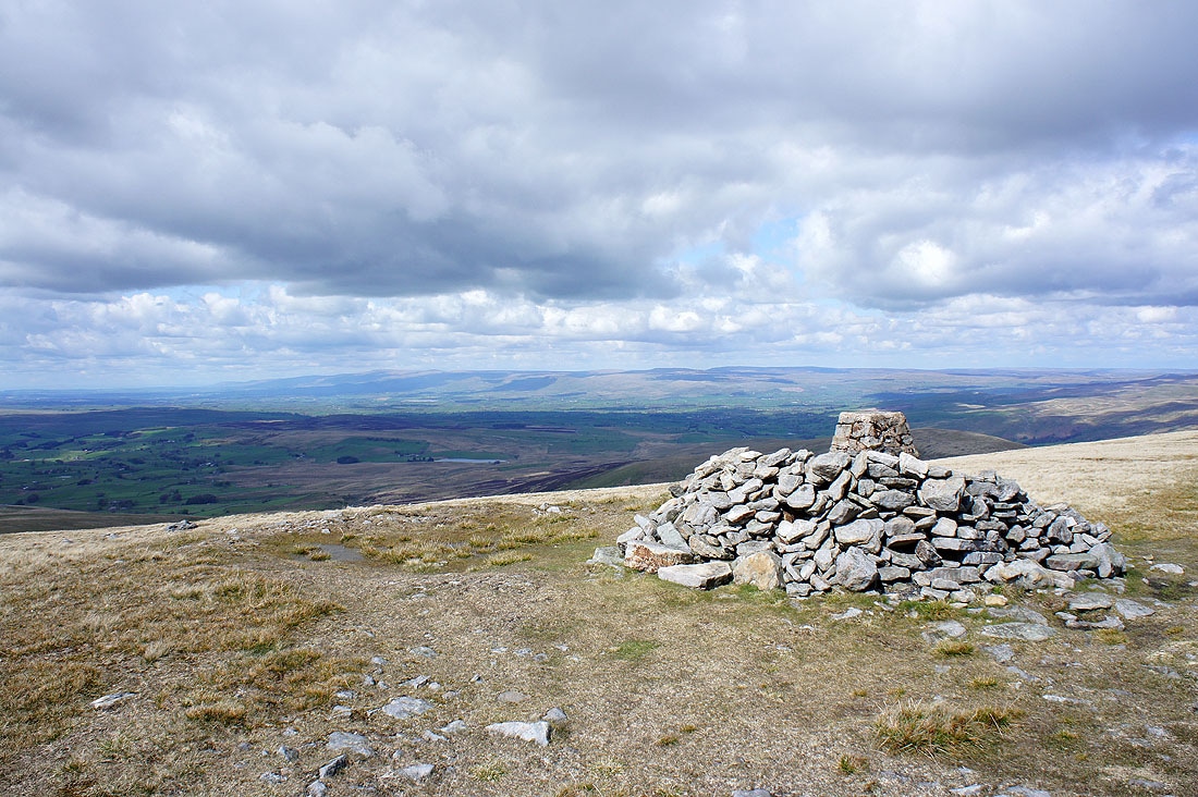
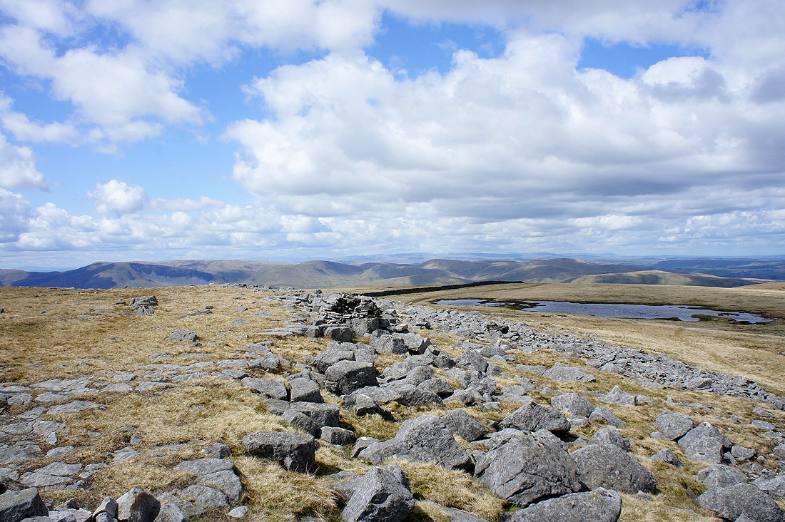
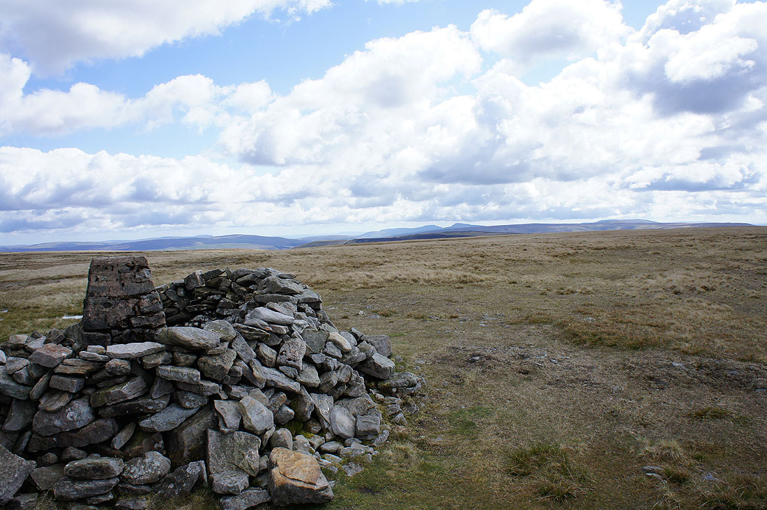
Cross Fell and the North Pennines from the summit of Wild Boar Fell
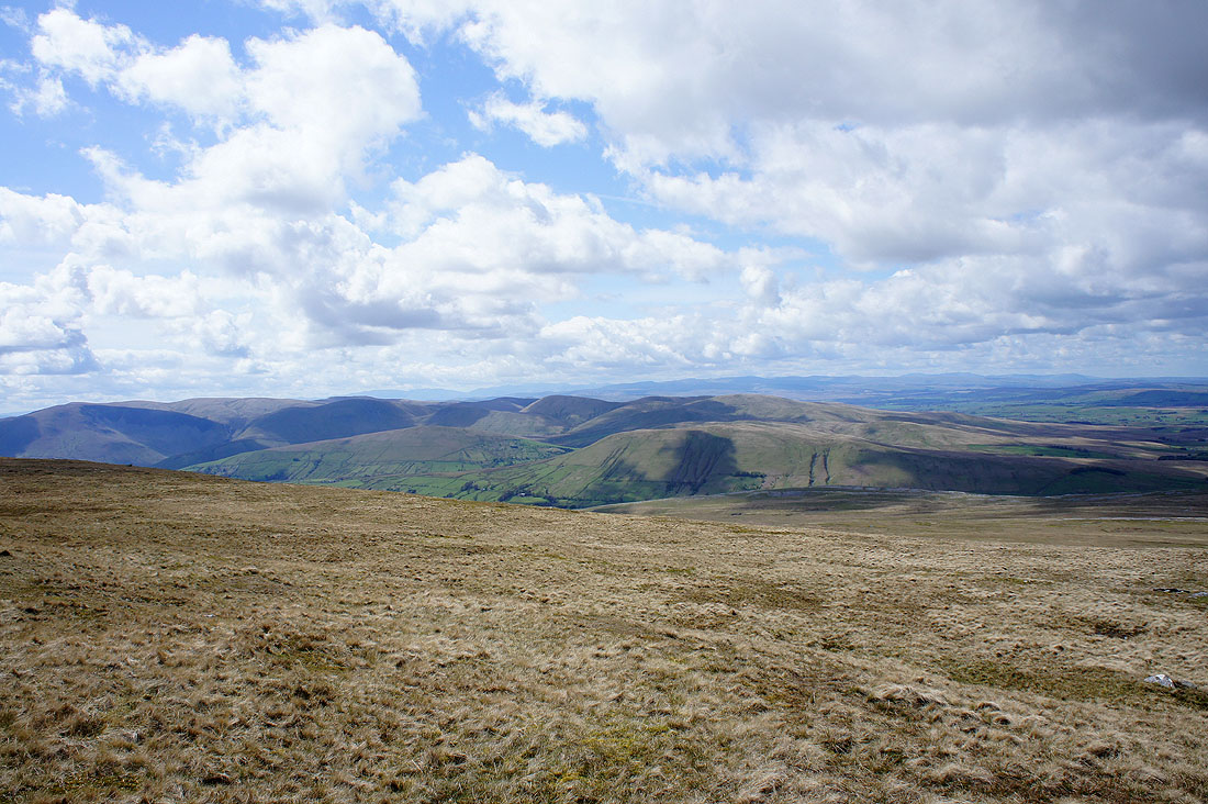
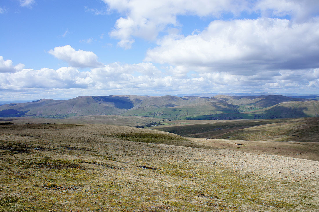
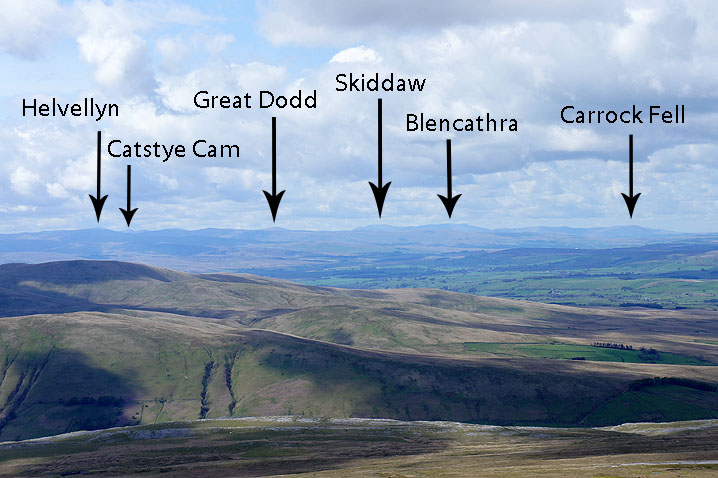
The Howgills with the Lake District fells beyond
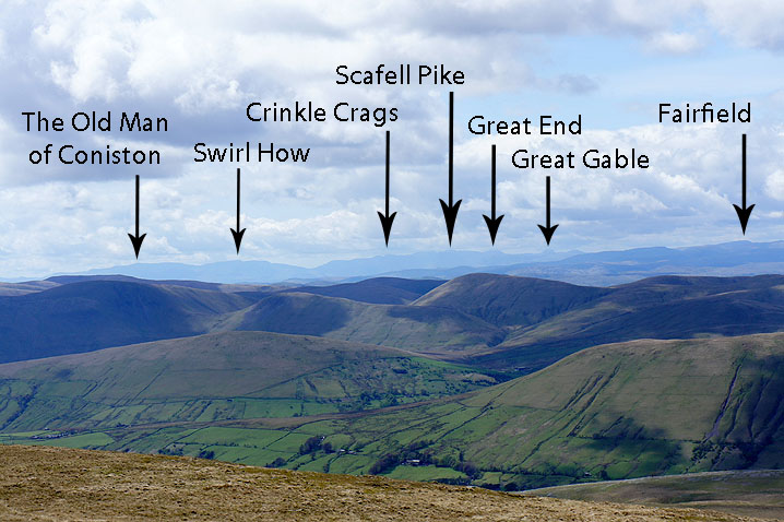
Very clear air again today so I've picked out the better known fells
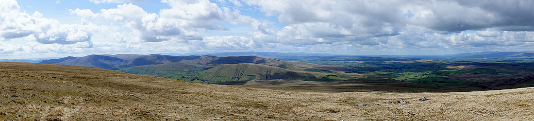
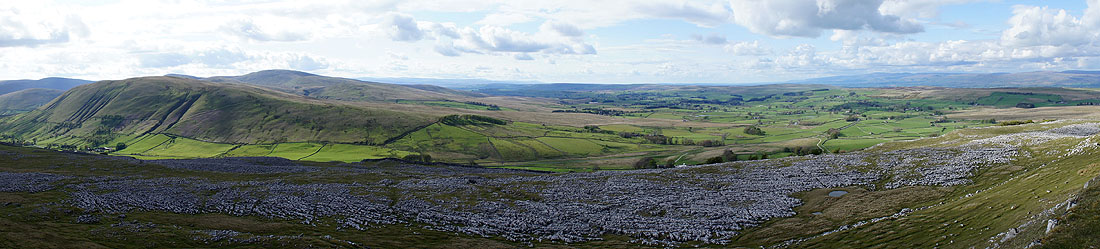
Panorama from the Howgills and across the Eden valley to Cross Fell
The view across to Ingleborough and Whernside
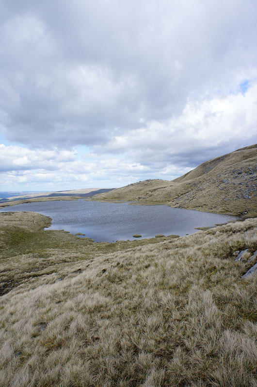
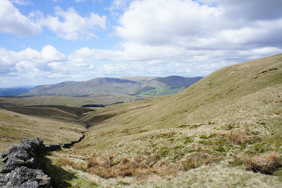
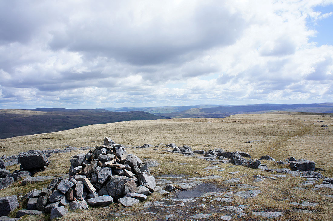
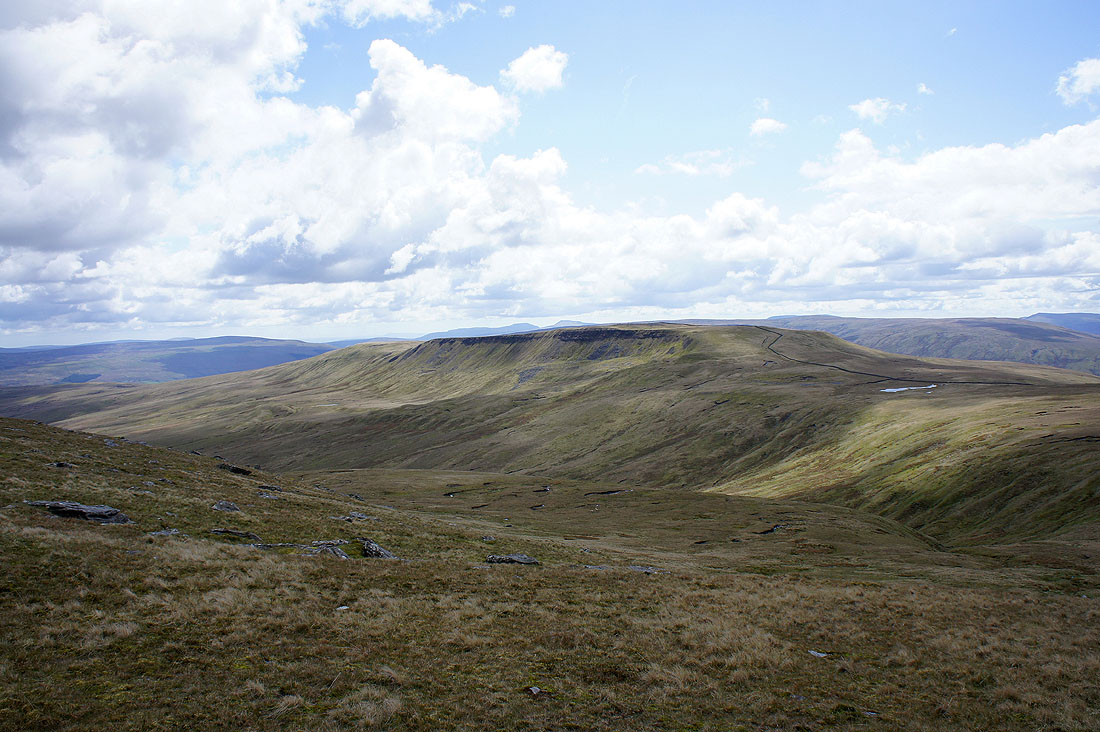
From the summit I made my way downhill to Sand Tarn on its grassy shelf
The Howgills from Sand Tarn
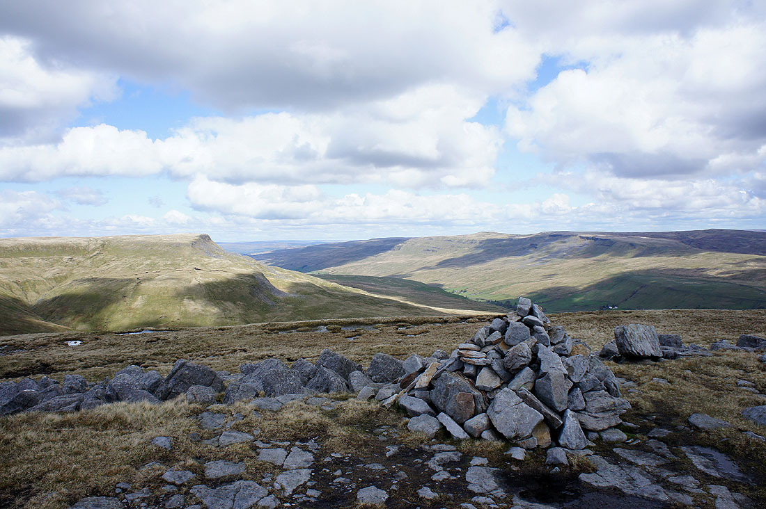
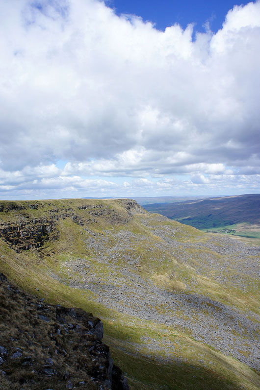
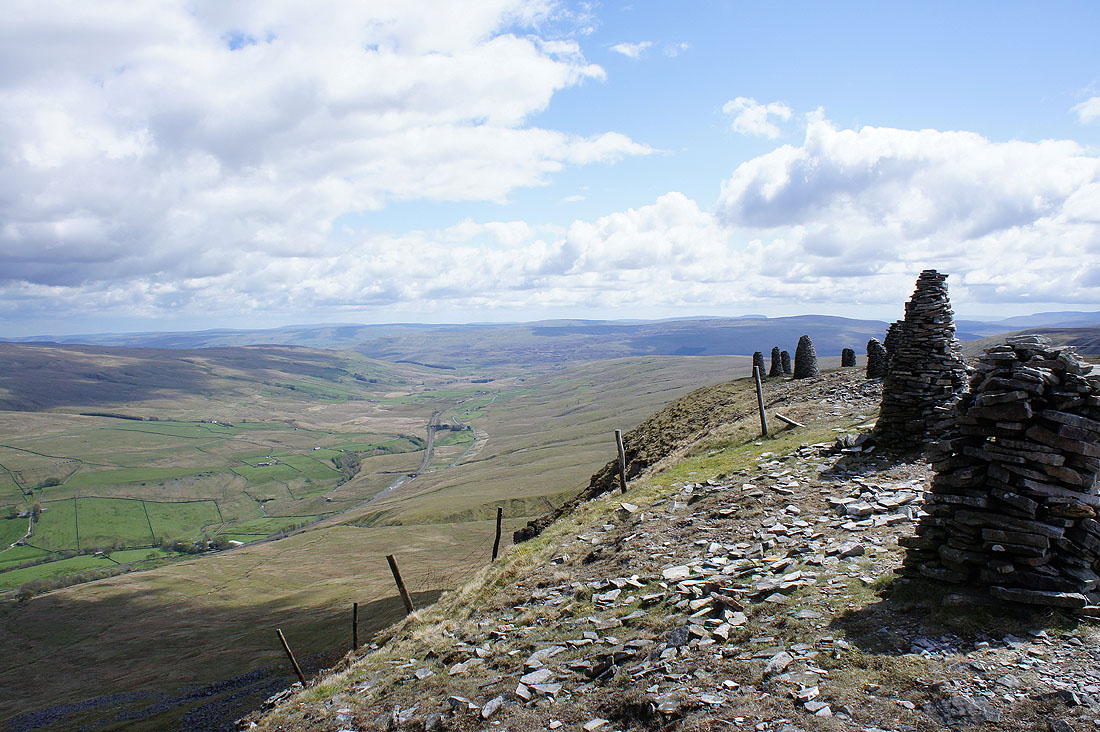
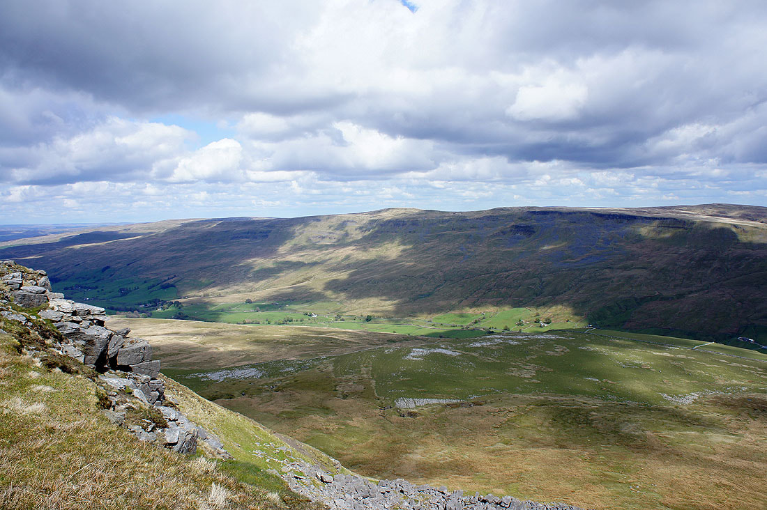
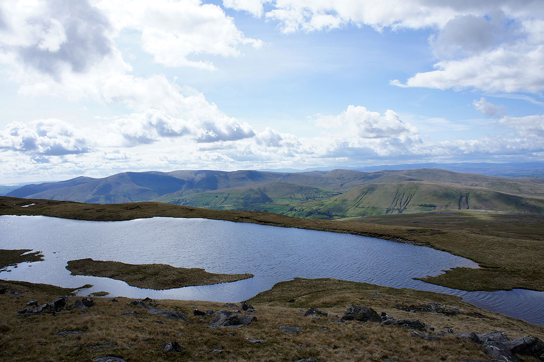
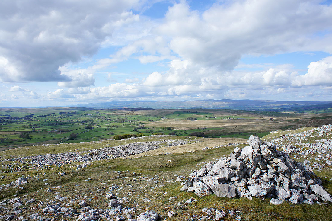
From Sand Tarn it was downhill all the way to my last ports of call, Fell End and Stennerskeugh Clouds. The view of the Rawthey valley and the Howgills from Fell End Clouds.
Cross Fell and the North Pennines in the distance
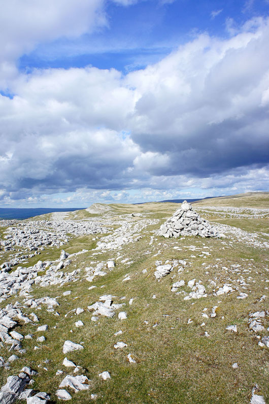
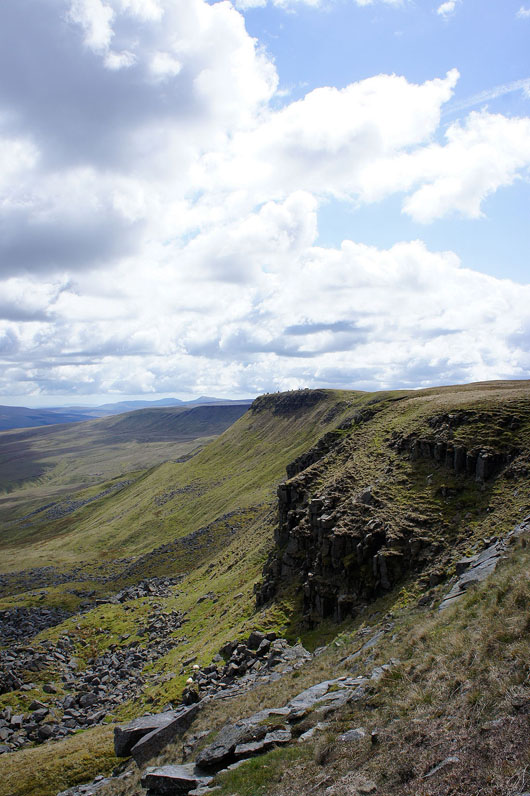
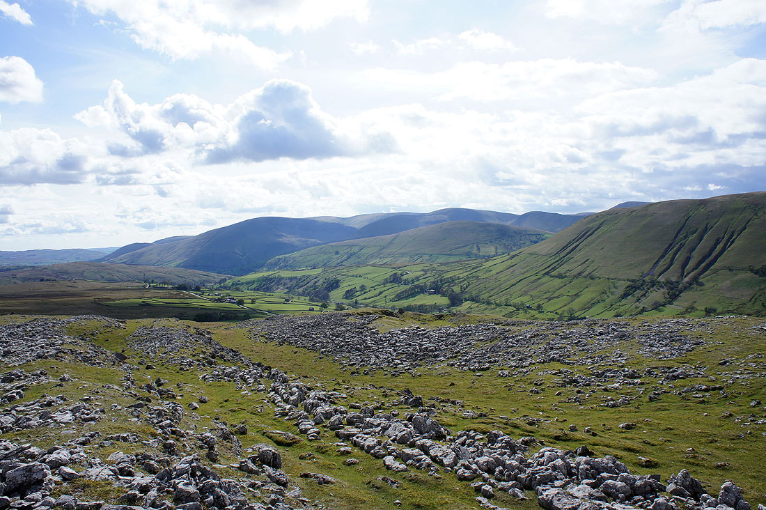
Looking across to Stennerskeugh Clouds from Fell End Clouds
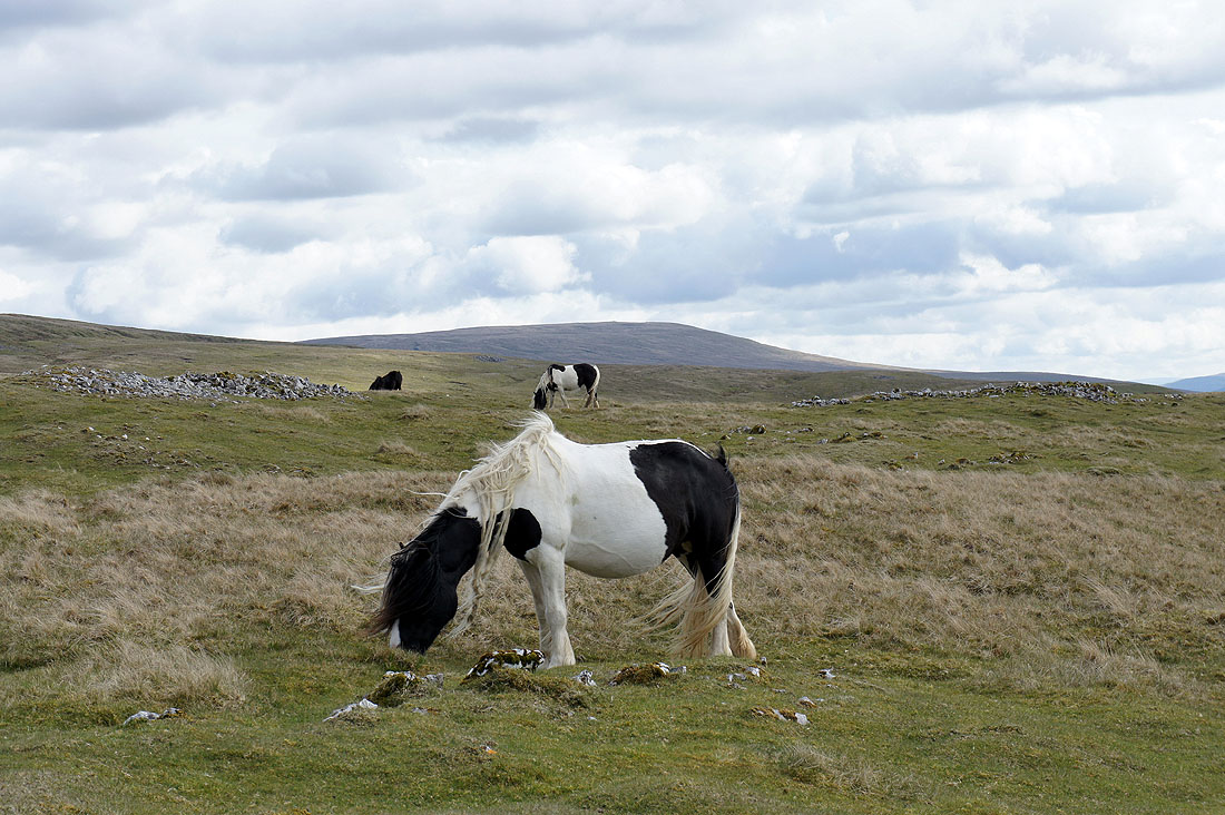
Fell ponies. There were quite a few grazing on the Clouds.
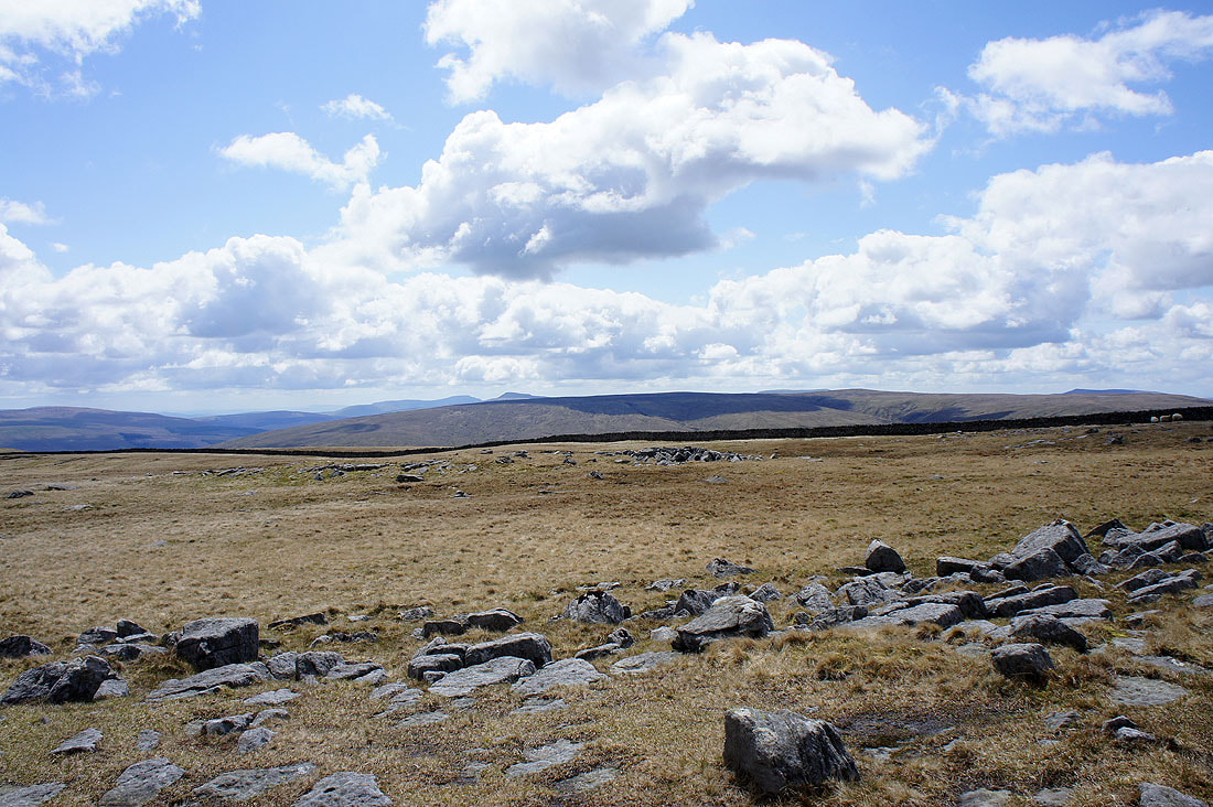
Cross Fell and the North Pennines from Stennerskeugh Clouds
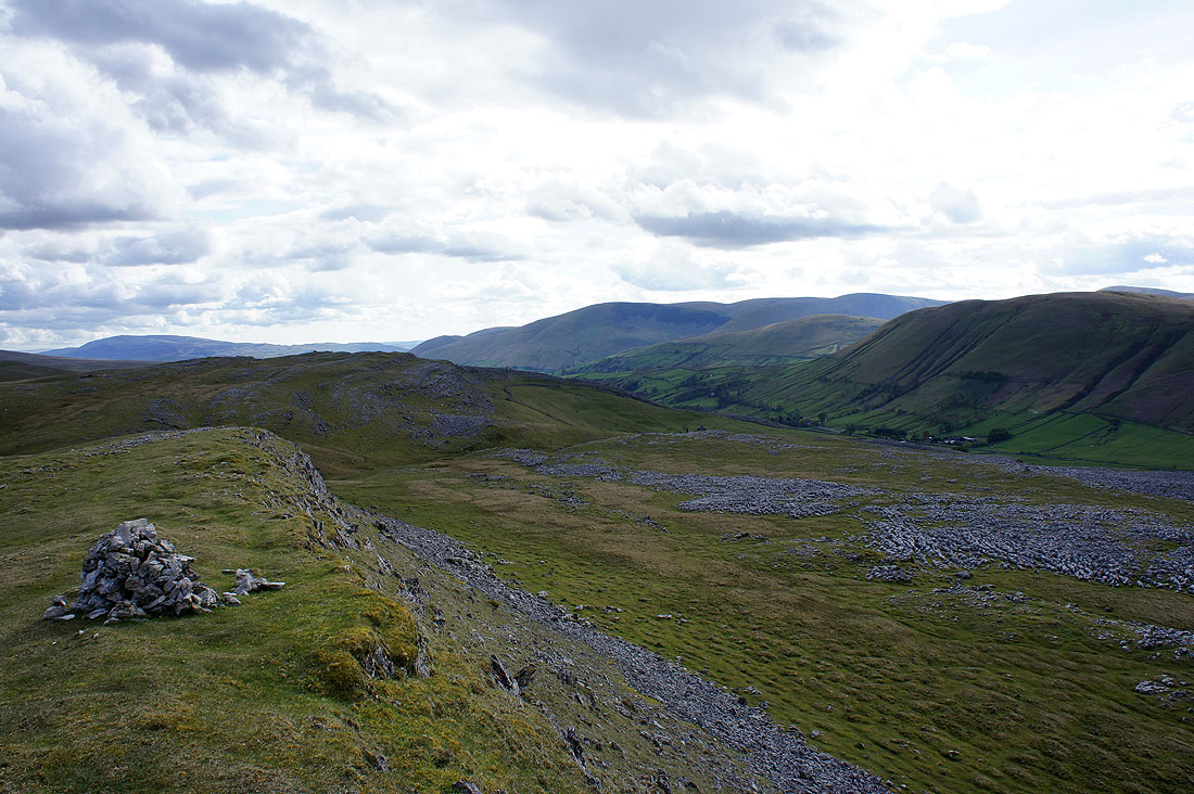
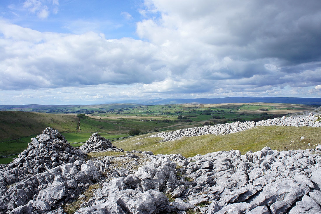
Fell End Clouds, the Rawthey valley and the Howgills
The final shot of the day is a panorama from Harter Fell in the Howgills on the left to Cross Fell on the right