12th May 2019 - Raydale and Semer Water
Walk Details
Distance walked: 10.0 miles
Total ascent: 1631 ft
OS map used: OL30 - Yorkshire Dales, Northern & Central areas
Time taken: 6 hrs
Route description: Bainbridge-Greensley Bank-Cam High Road-Green Scar-Common Allotments-Cam High Road-Common Allotments-Marsett-Busk Lane-Stalling Busk-Semer Water-Stake Road-Semer Water Bridge-River Bain-Bracken Hill-A684-Bainbridge
I visited Wensleydale for the first time last year and did a couple of walks from Hawes. There's still so much of the dale to explore though, and not just the main valley, there are plenty of side valleys as well, some of them pretty substantial and worthy of exploration on their own. After moving house last month to be closer to work, and by happy coincidence I'm closer to the Yorkshire Dales as well, the drive to this dale will be that bit shorter and easier to do. Expect more walks in this area throughout the rest of the year. Today I decided to do a walk from Bainbridge, taking in the Cam High Road, Raydale (one of those side valleys), and Semer Water, the other natural body of water in the Yorkshire Dales besides Malham Tarn. I had a beautiful spring day for my walk with blue skies, sunny spells, fluffy fair-weather clouds and great visibility for taking in the scenery.
After parking by the village green in Bainbridge, and having refreshments at the Cornmill Tea Room, I left Bainbridge by taking the footpath west from by the primary school across fields towards the A684. As the main road is approached I then took the footpath uphill to Greensley Bank, through the farmyard, then left and uphill to Cam High Road. I then followed this byway southwest, across Crag Side Road, and then under Green Scar to where I reached a footpath on the left that I took to reach the moorland above Green Scar. I then made my way west on the bridleway across Common Allotments back to the Cam High Road for a view north across Wensleydale, before returning to the bridleway on Common Allotments to then follow the footpath down to the hamlet of Marsett in Raydale. I crossed Marsett Bridge into the hamlet and then followed the track of Busk Lane by Marsett Beck, across the fords over Raydale Beck and Cragdale Water and then up to the hamlet of Stalling Busk. From Stalling Busk I took the footpath signposted for the chapel ruins, which I followed down to and past, and then from there down to and along the east shore of Semer Water to Stake Road. I then walked down Stake Road to Semer Water Bridge, where I took the bridleway then footpath north alongside the River Bain, up and over Bracken Hill and down to the A684 just to the east of Bainbridge. After crossing the bridge over the River Bain I had a short walk back to where I was parked.
Route map
© Crown copyright. All rights reserved. License number PU 100034184.
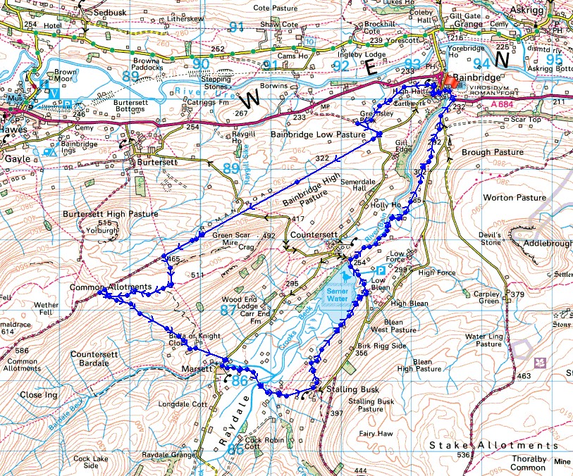
A glorious spring morning in Bainbridge as I sit outside the Cornmill Tea Room
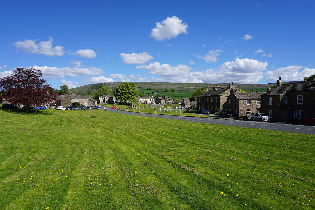
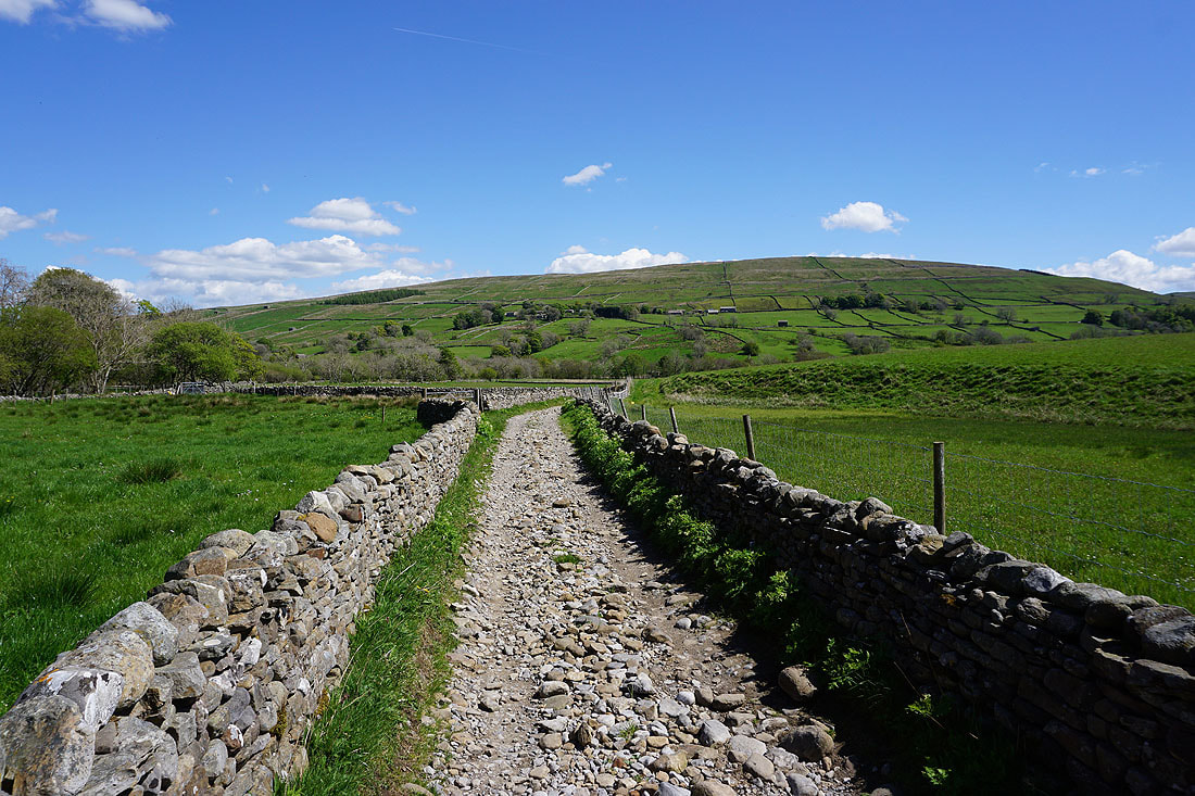
I leave Bainbridge by taking a path by the primary school west across fields
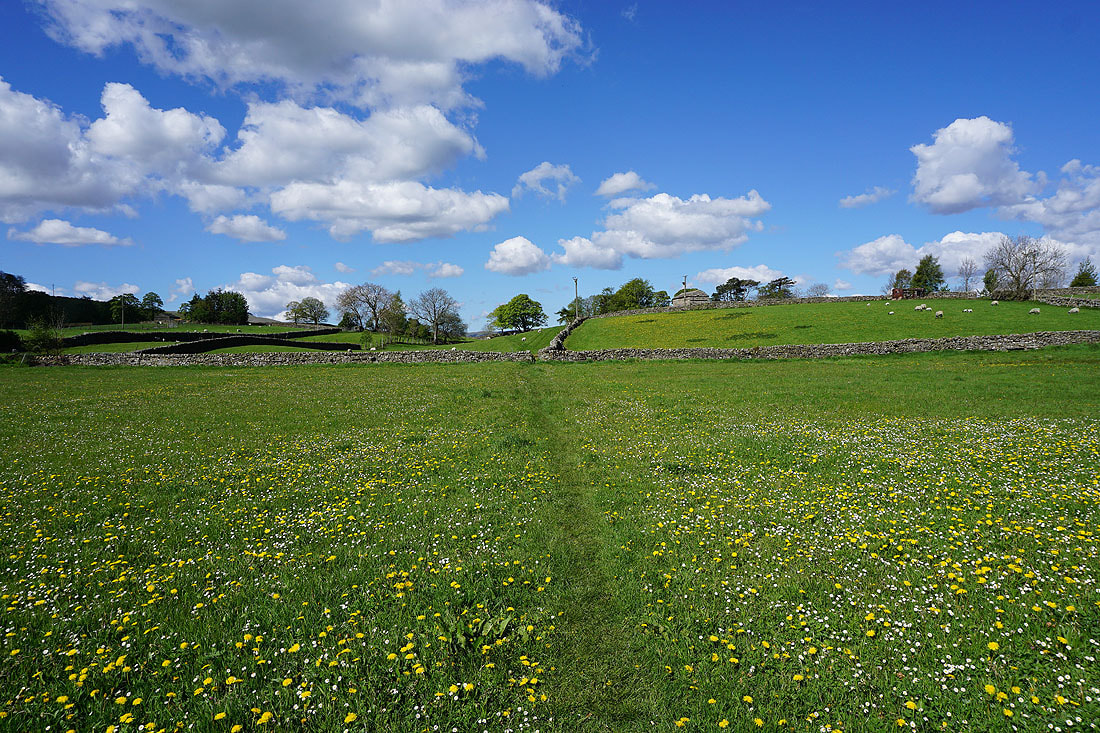
Views across Wensleydale as I follow the path across pastures up to Greensley Bank...
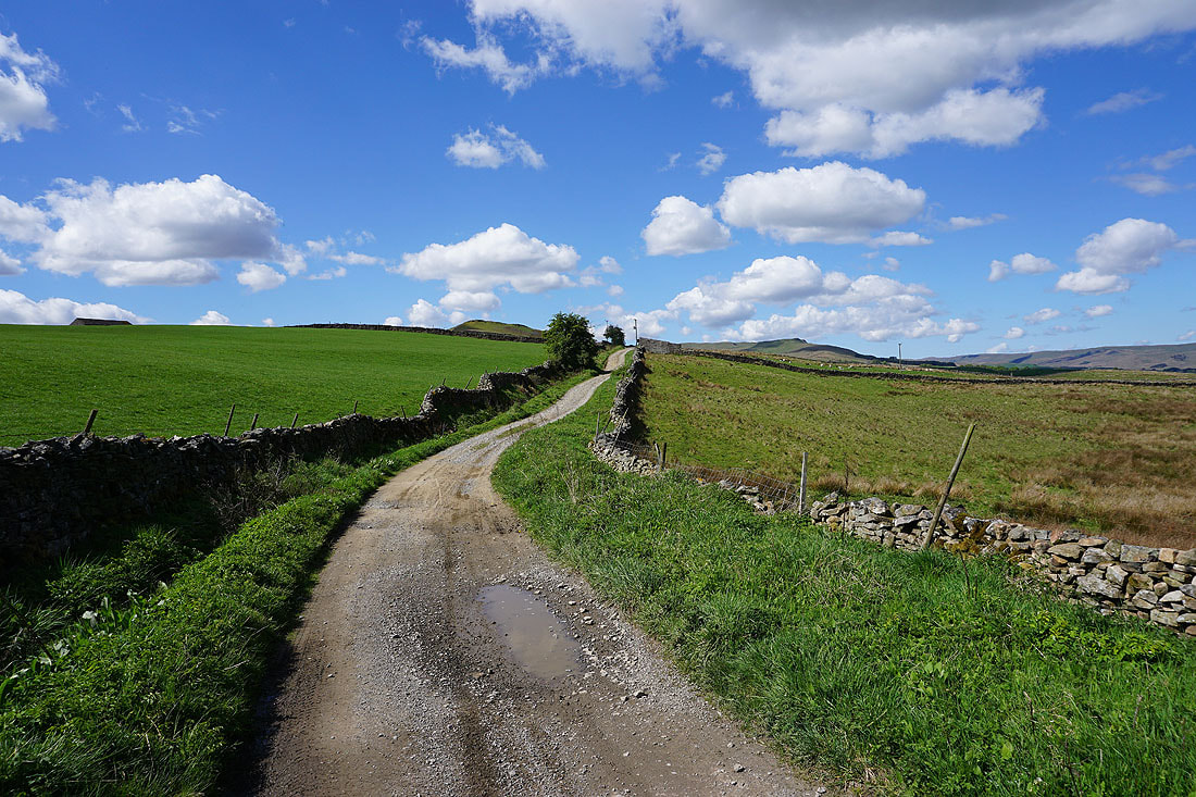
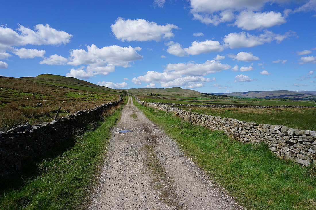
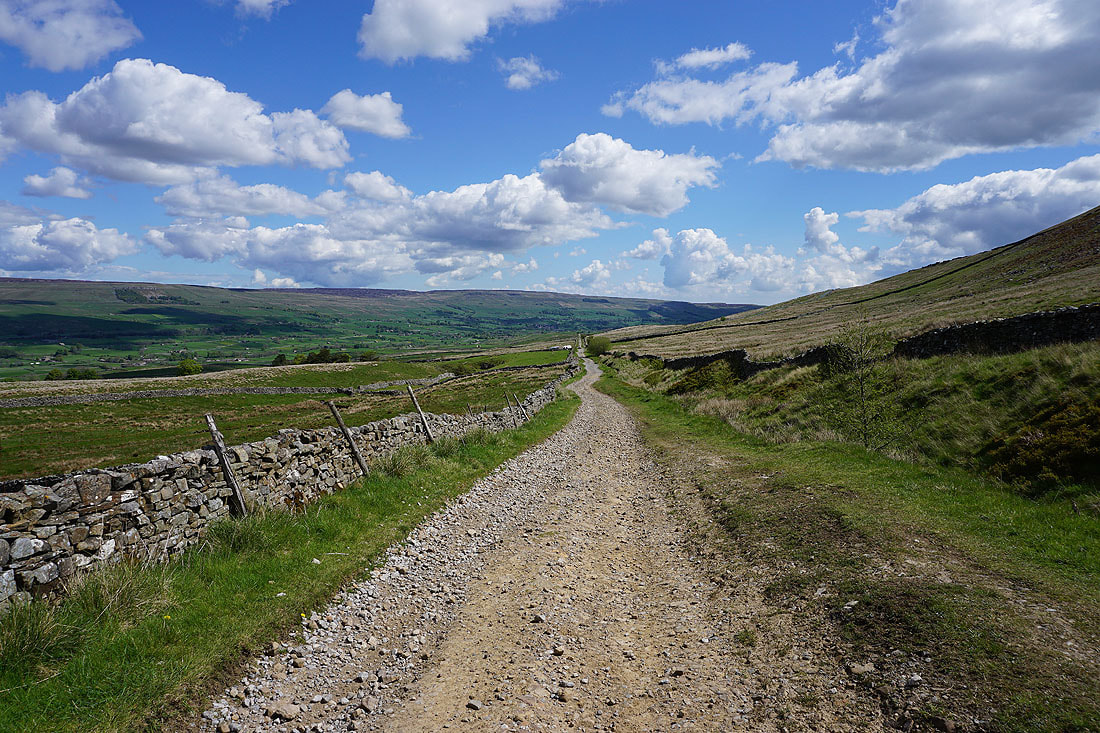
Having reached Greensley Bank I follow a path that brings me to the start of Cam High Road
I have great views across Wensleydale as I follow the byway uphill to the west....
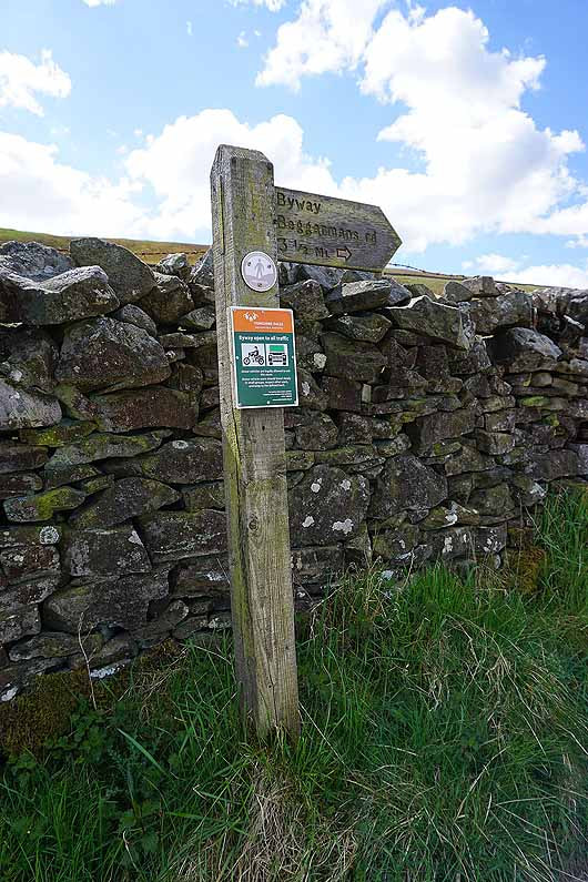
Byway sign for Beggarmans Road, which is the road that climbs up Sleddale from Gayle, as I cross Crag Side Road
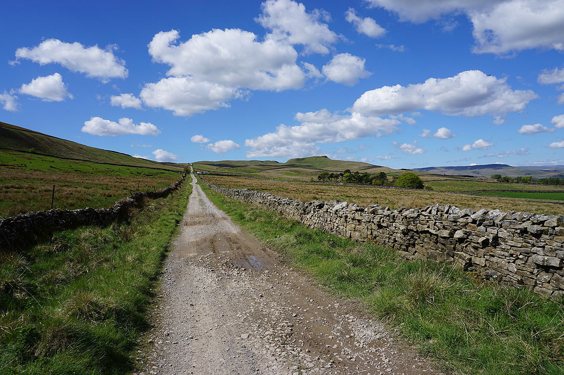
A look back down Cam High Road and its origins as a Roman Road is clear to see from just how straight a course it has
Yorburgh on the left and Great Shunner Fell in the distance on the right, and this is where I leave Cam High Road for the footpath up to Green Scar
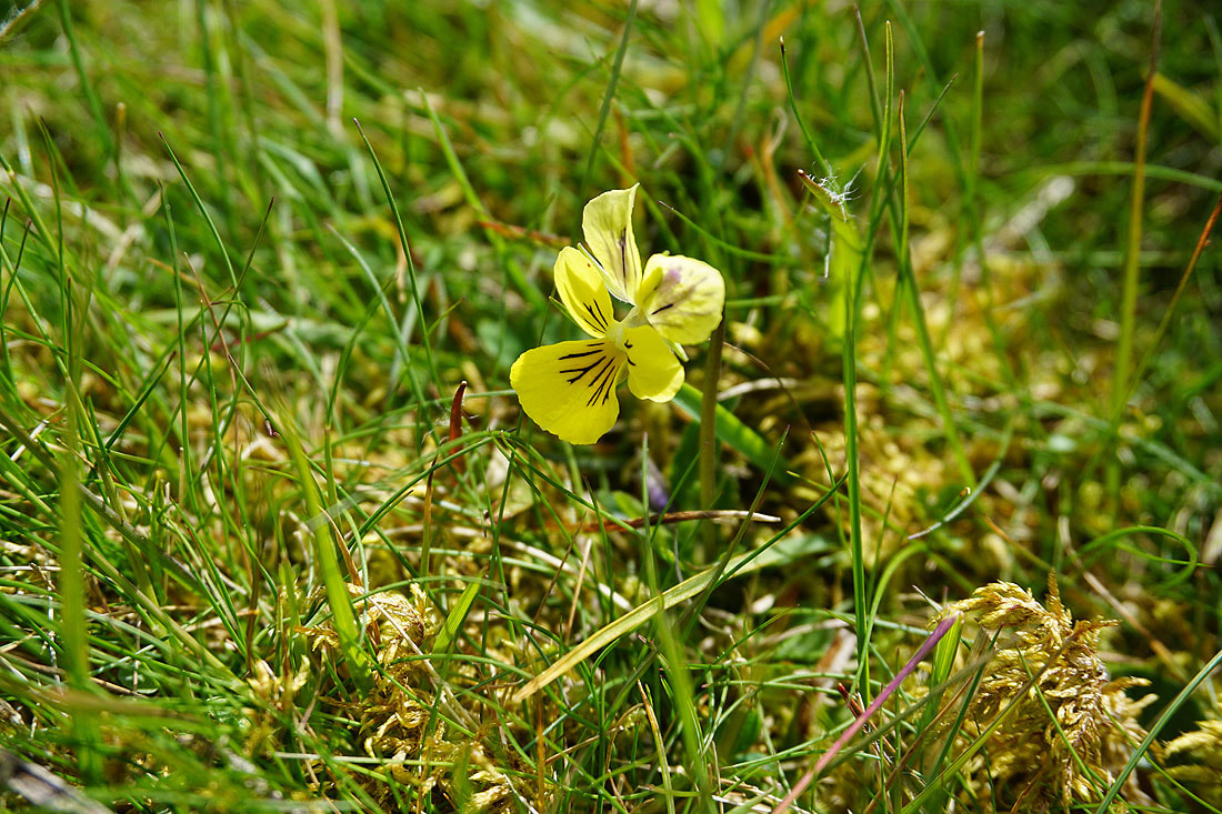
Mountain Pansy on the moorland above Green Scar
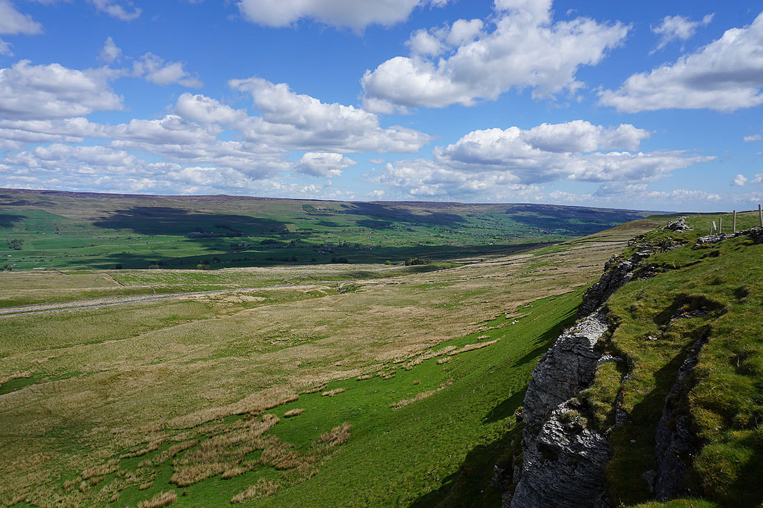
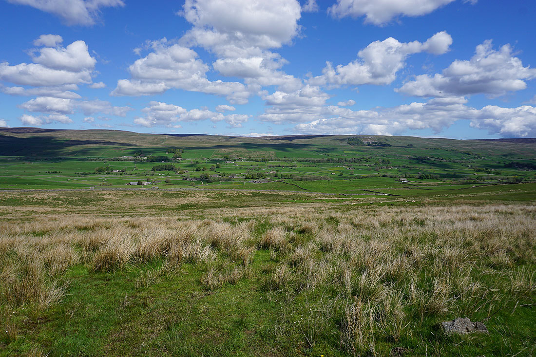
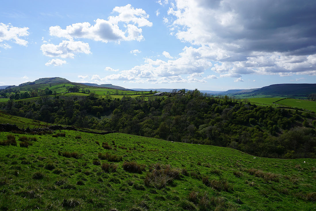
Wensleydale from Green Scar
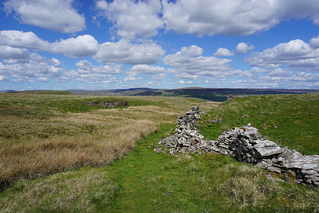
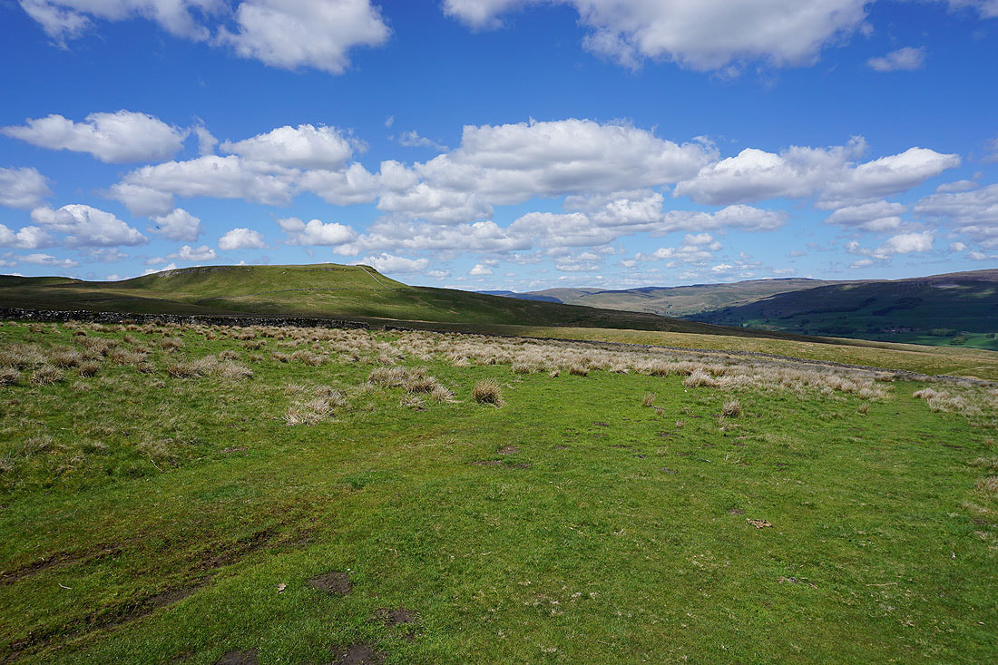
Great Shunner Fell and Lovely Seat to the north from the moorland above Green Scar
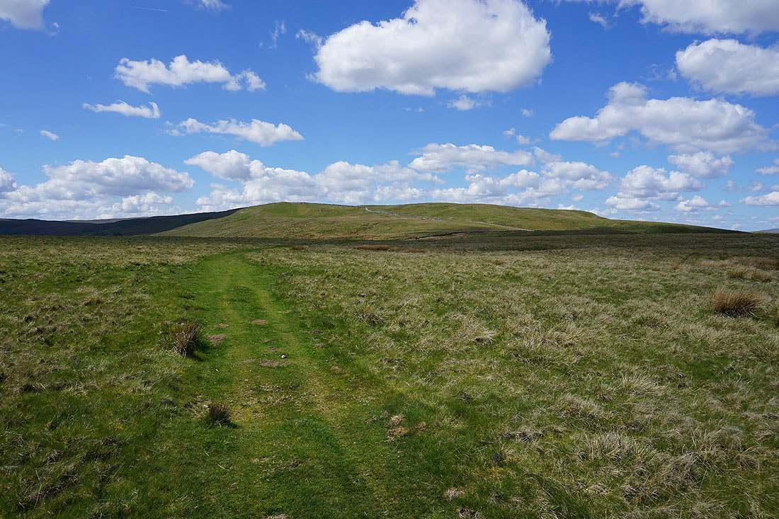
Wether Fell from the bridleway across Common Allotments
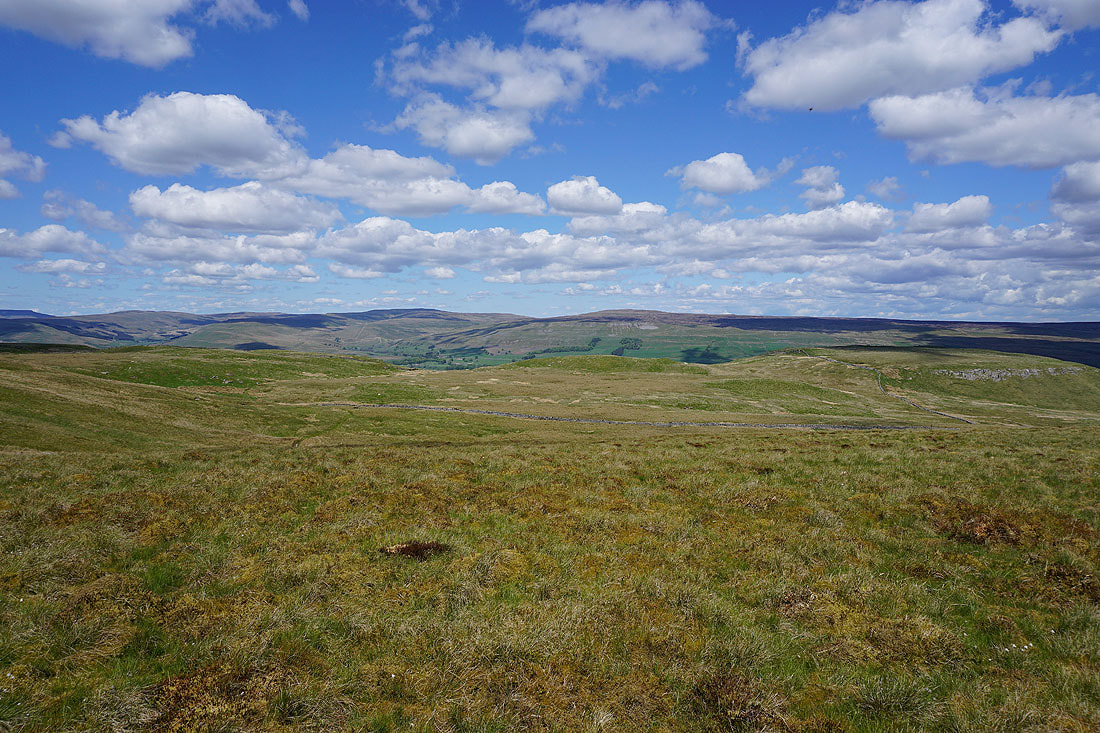
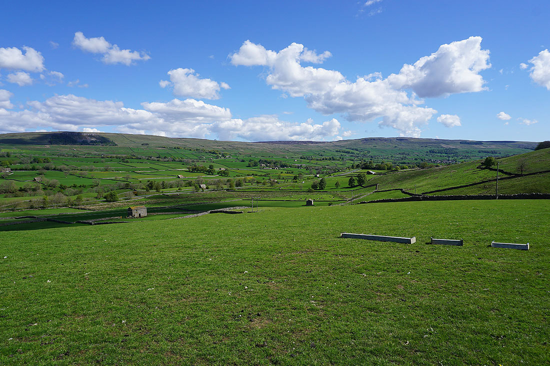
Before heading down to Raydale I've returned to Cam High Road and crossed it to take the path towards Burtersett. Just for a short distance though, I wanted to see what the view to the north across Wensleydale was like. Not bad. The valley of Cotterdale is on the left, then there's Great Shunner Fell and Lovely Seat separated by the valley that goes up to the Buttertubs Pass.
Turning round, and there's Cam High Road running beneath Green Scar
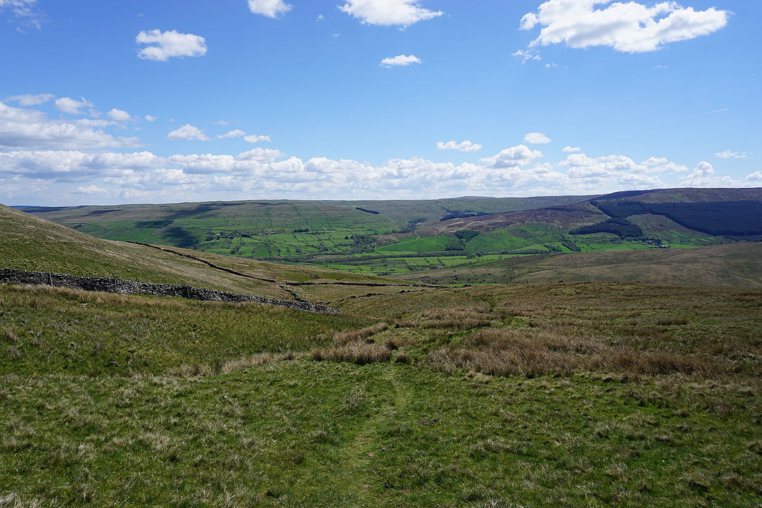
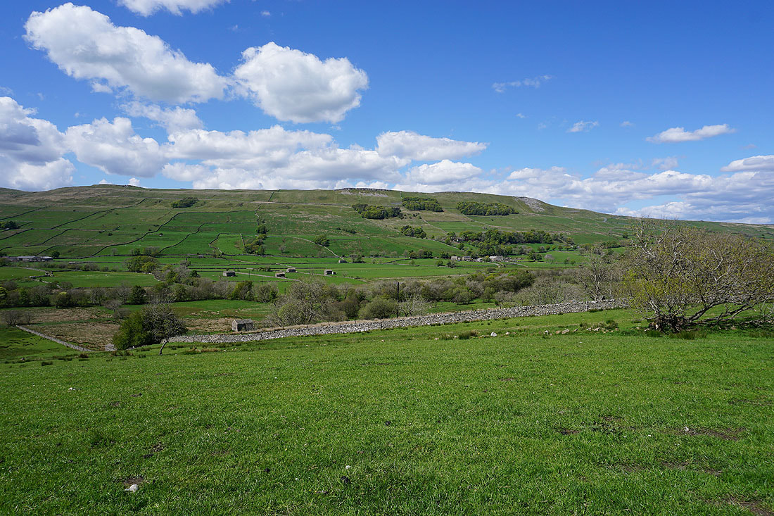
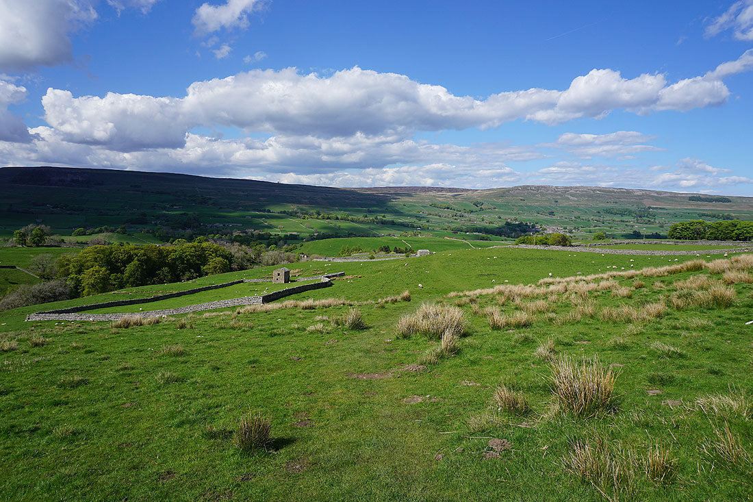
Heading down into Raydale
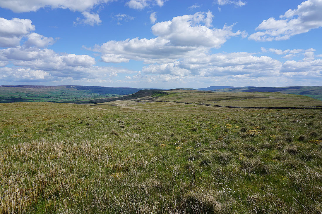
The valley of Bardale to my right
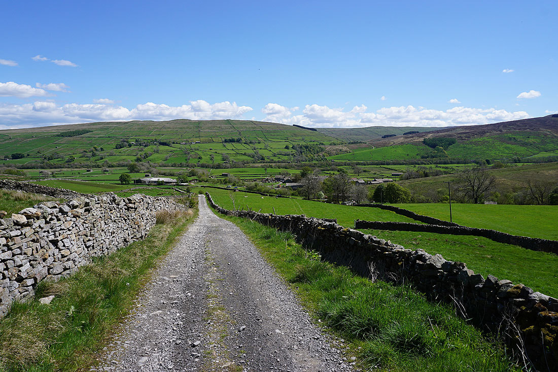
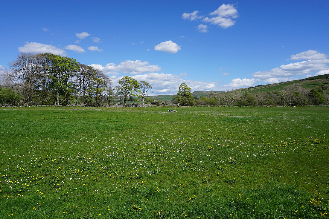
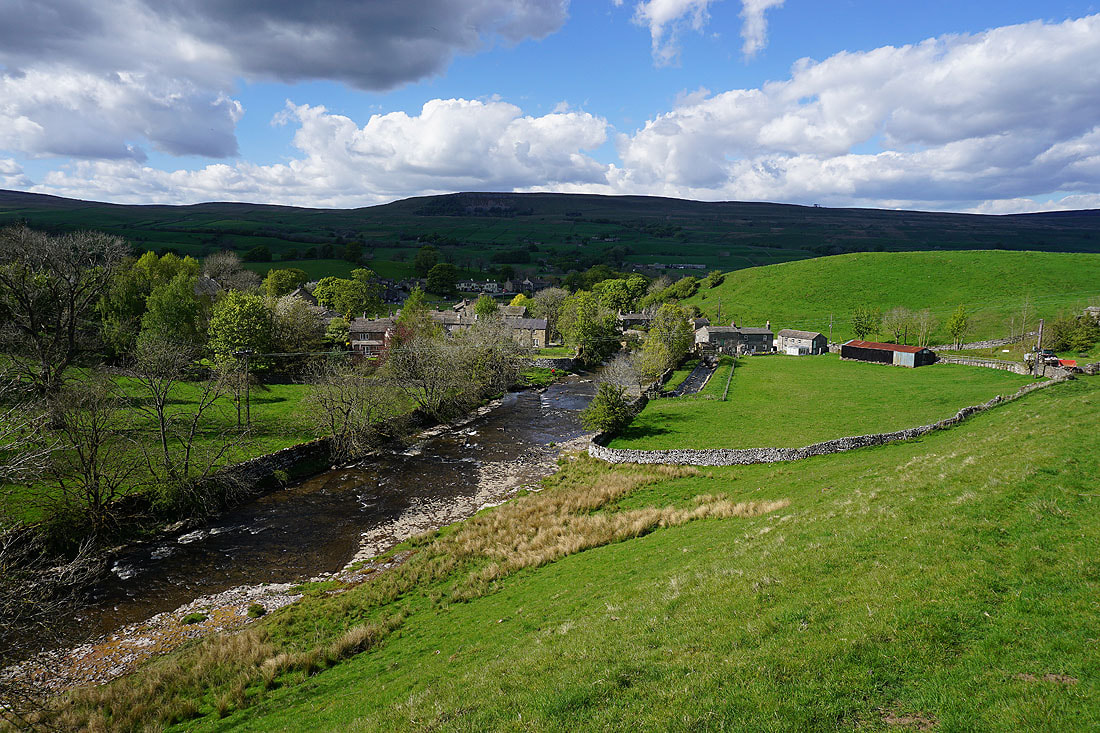
Approaching the hamlet of Marsett...
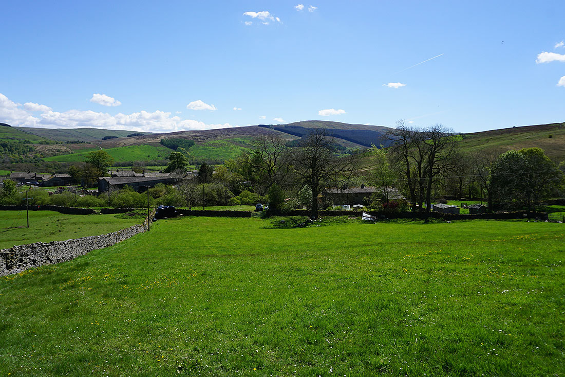
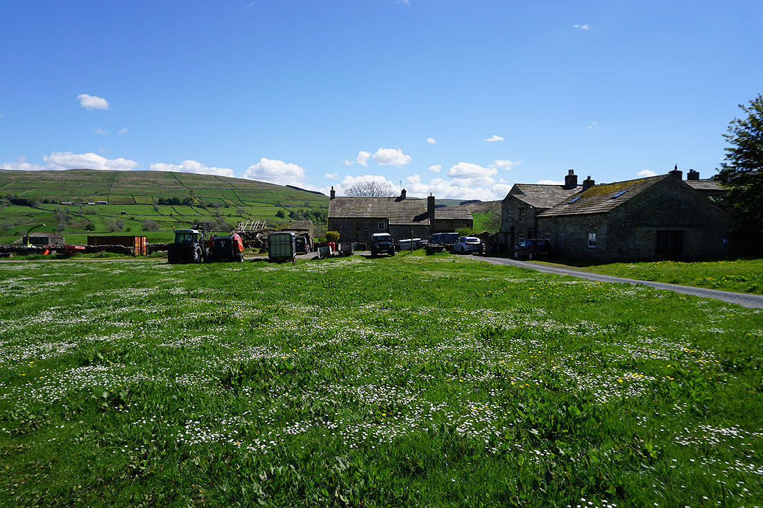
It's a quiet afternoon in Marsett
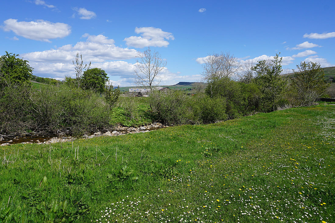
The profile of Addlebrough in shadow in the distance from by Marsett Beck
Looking back to Marsett from the byway by Marsett Beck
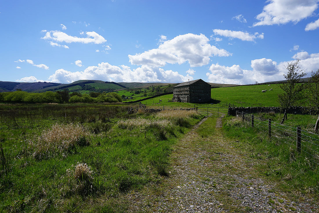
Heading for the hamlet of Stalling Busk on the hillside above
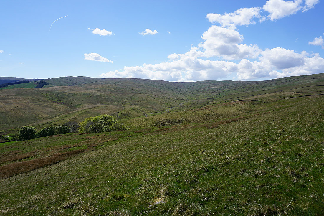
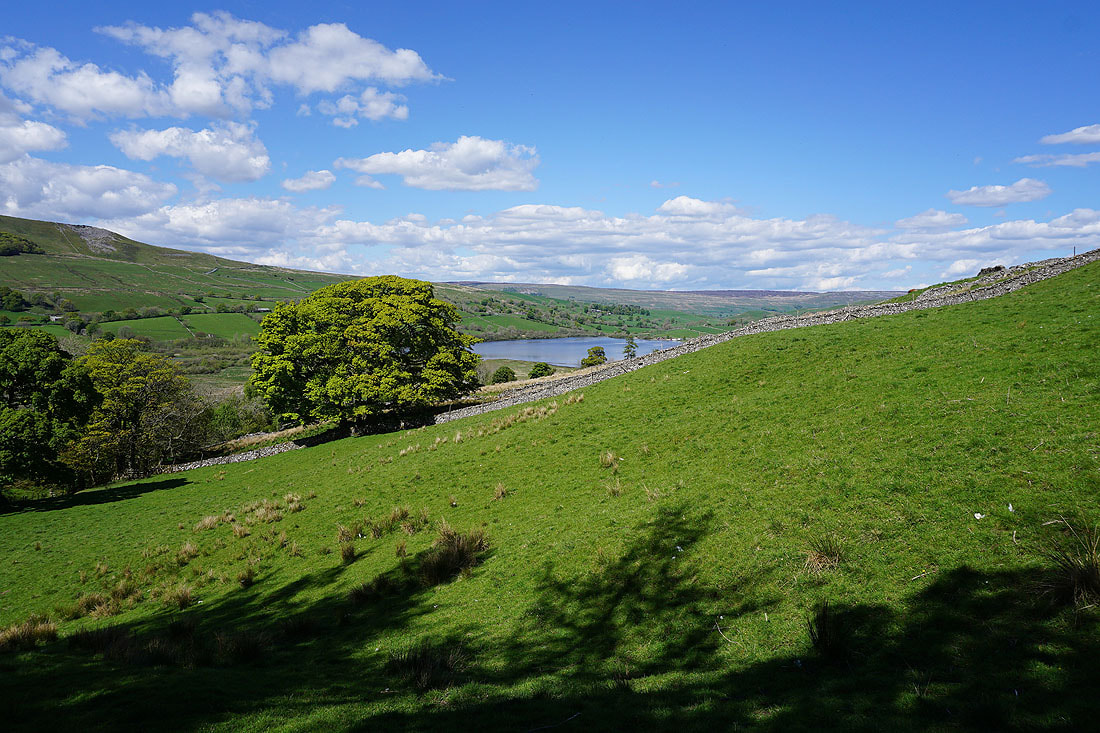
A lovely spring afternoon in Raydale...
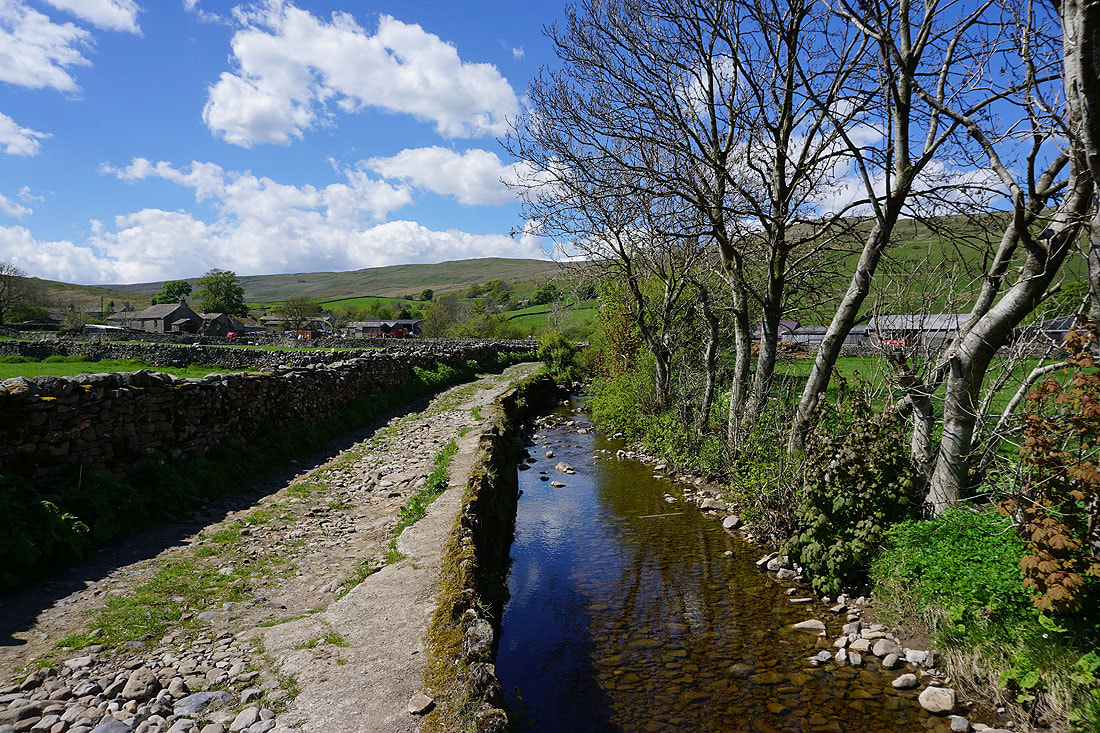
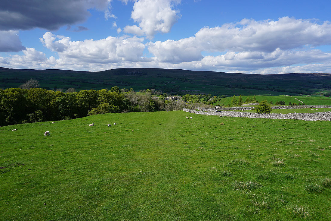
Looking across Raydale to Crag from the track of Busk Lane
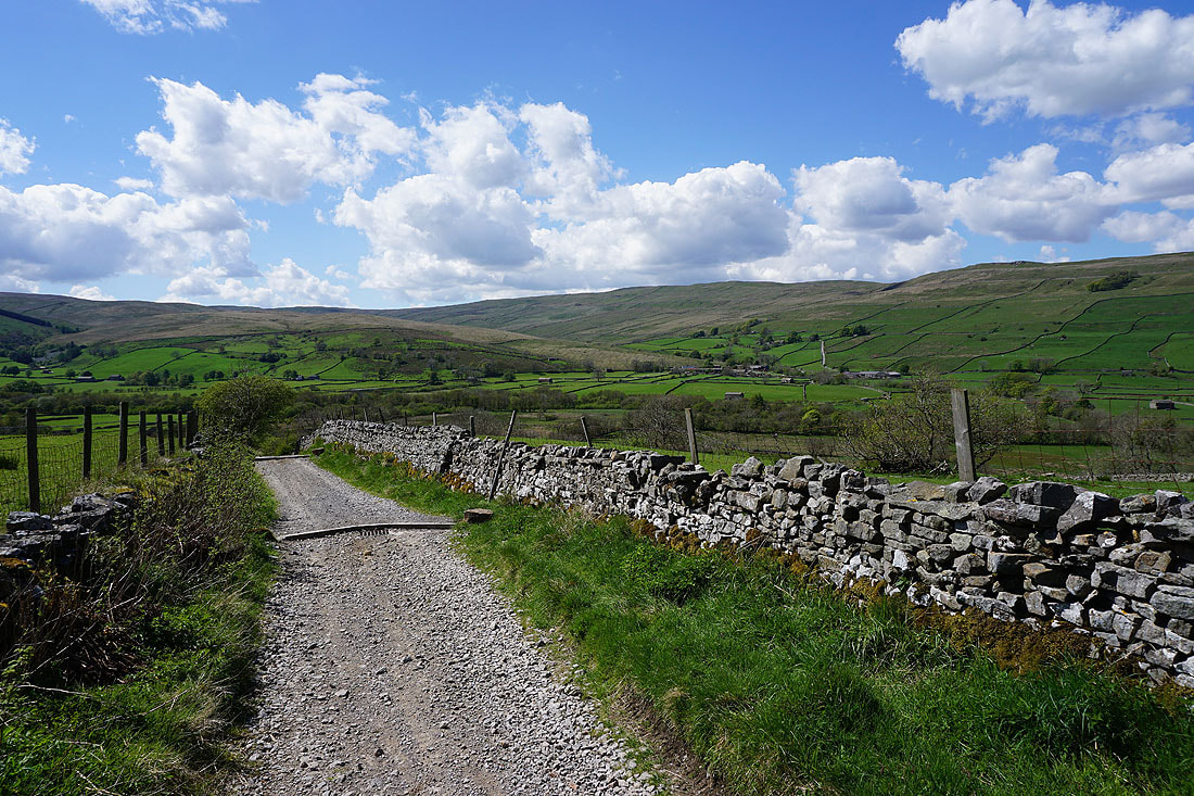
Looking back down Busk Lane
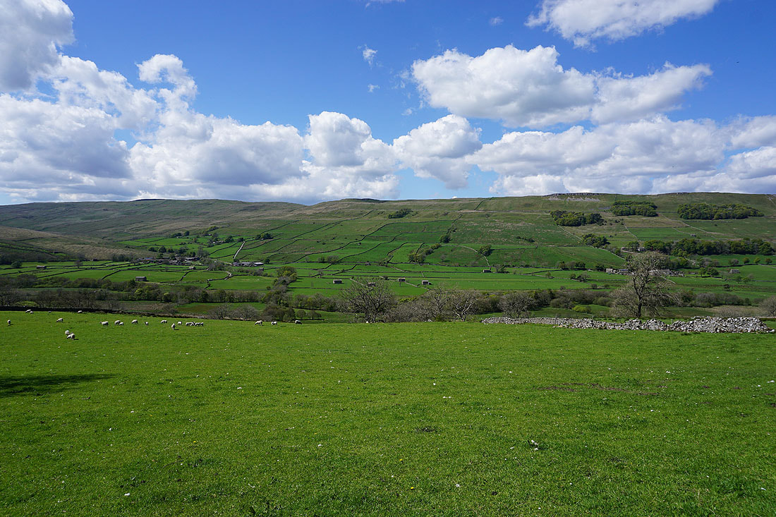
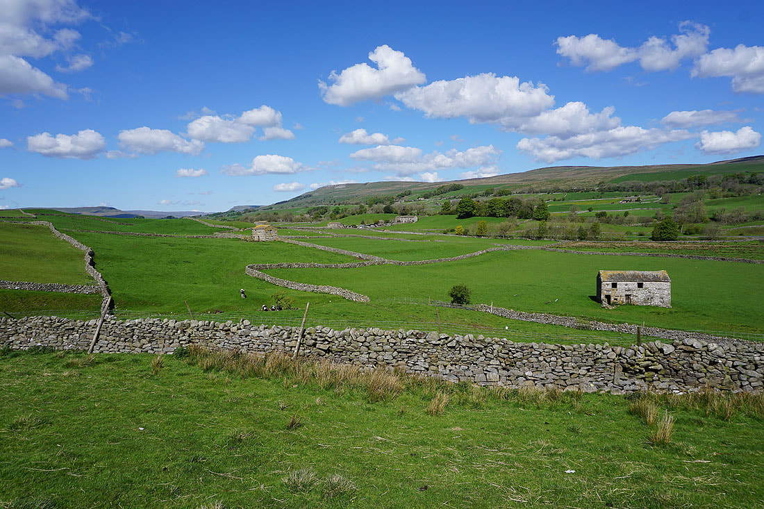
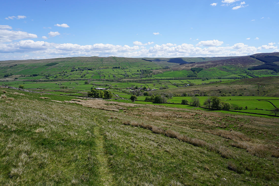
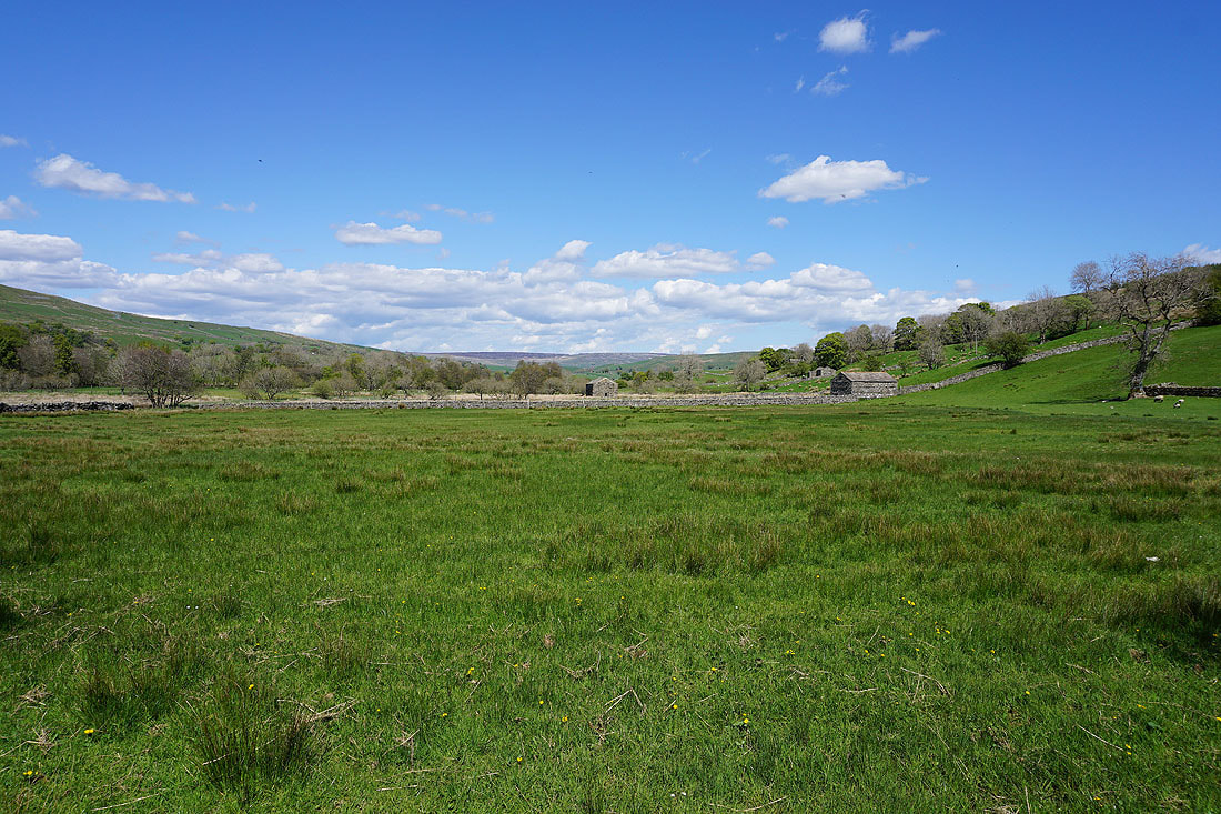
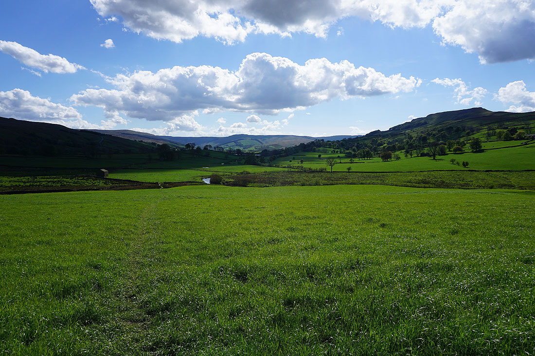
Marsett and Raydale
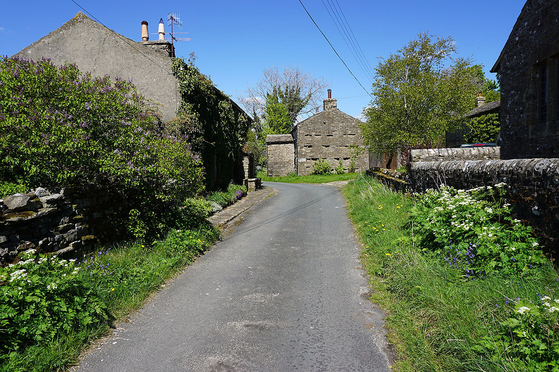
Making my way through the hamlet of Stalling Busk
I leave Stalling Busk for the path down to Semer Water
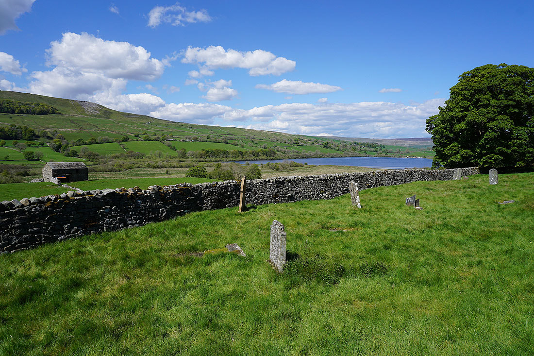
The path passes the remains of a chapel and its graveyard
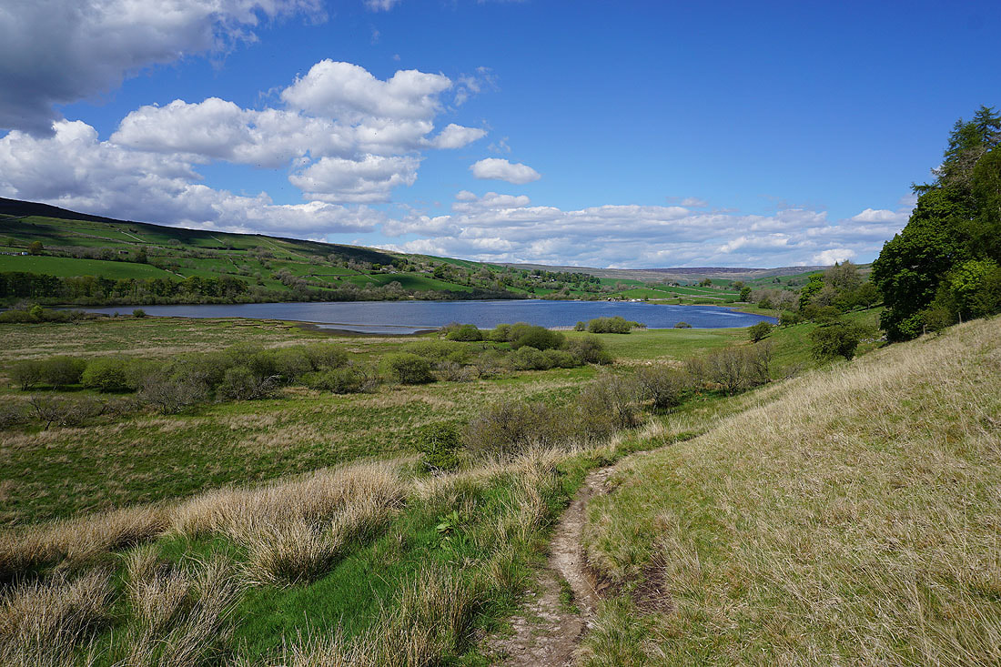
and then heads down to the shores of Semer Water..
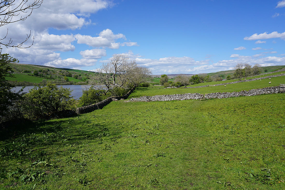
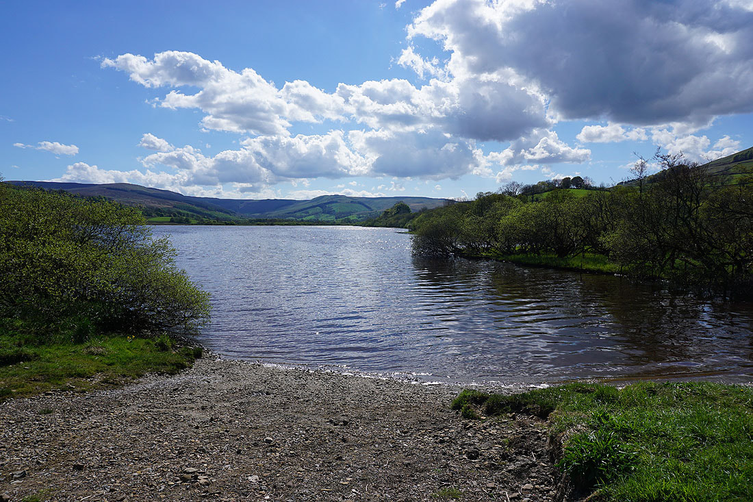
Following the path by the east shore of Semer Water to Stake Road..
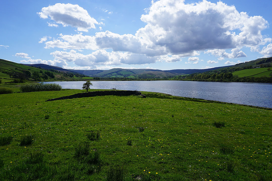
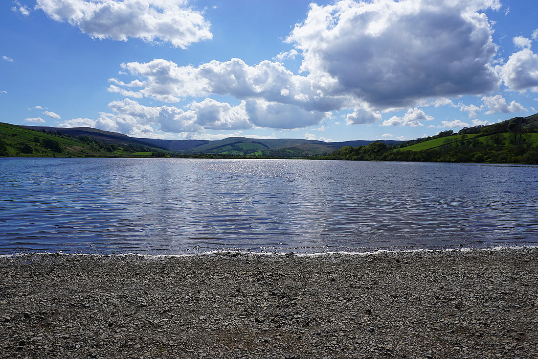
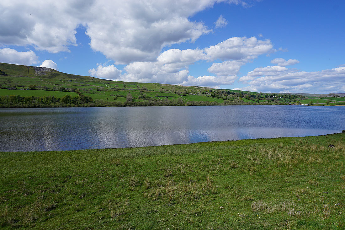
The view south across Semer Water from its northern end..
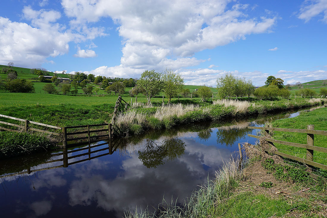
Joining the bridleway by the start of the River Bain at Semer Water Bridge
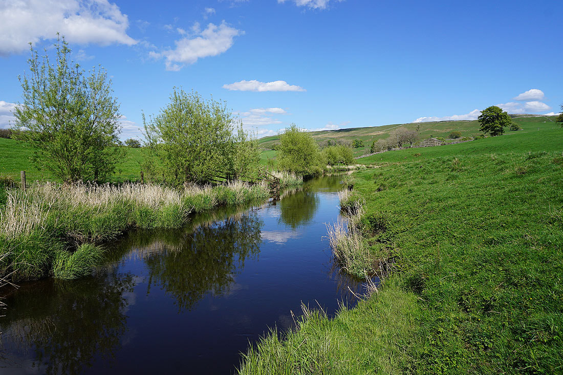
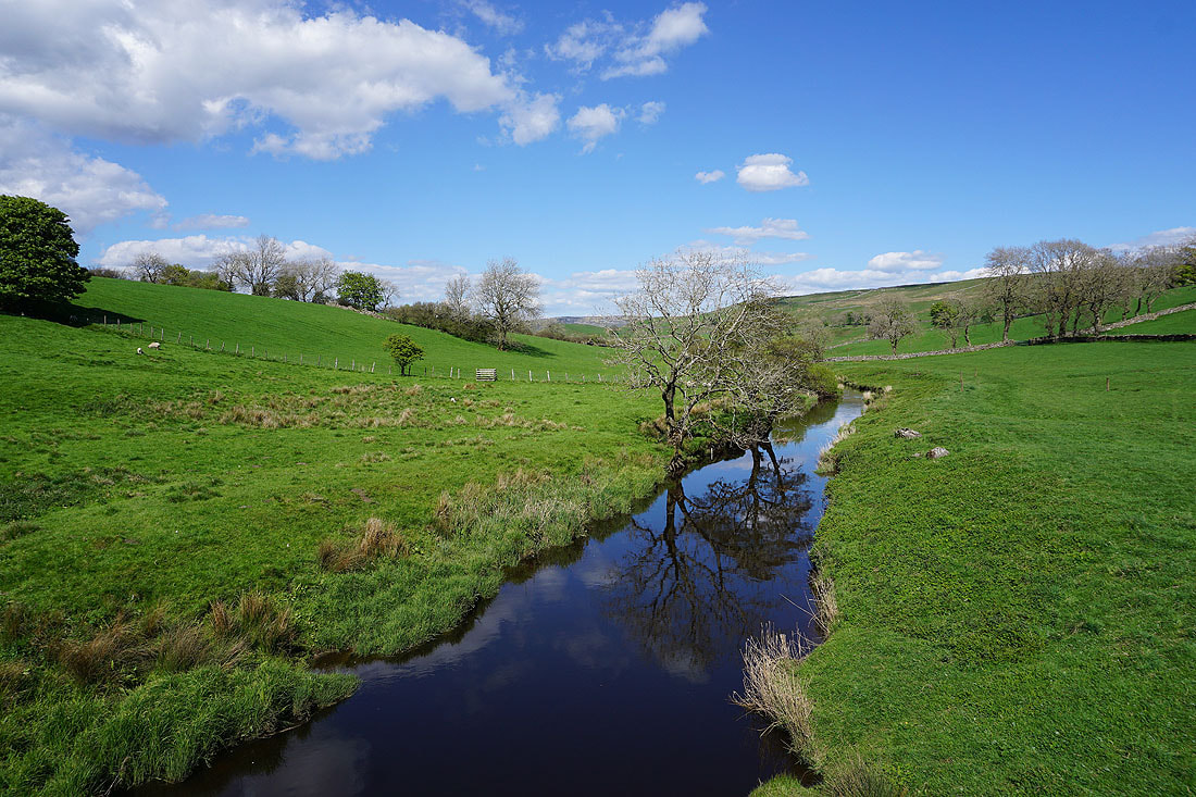
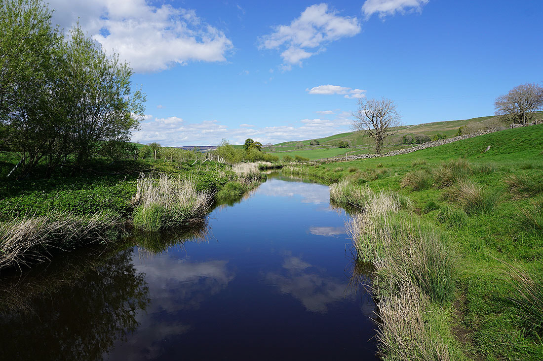
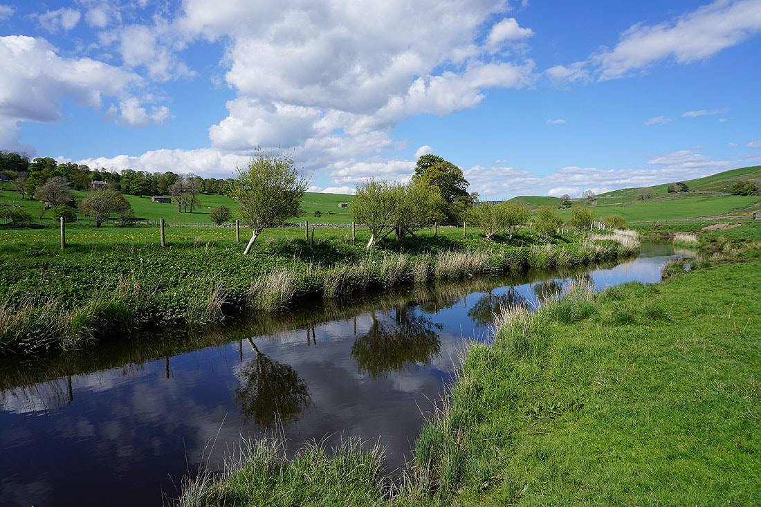
Beautiful scenery and great reflections in the river as I follow the bridleway, then footpath, north by its east bank.....
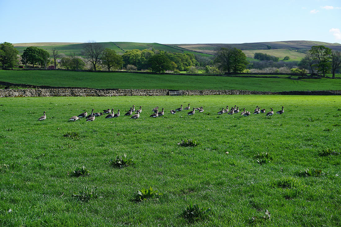
Greylag geese
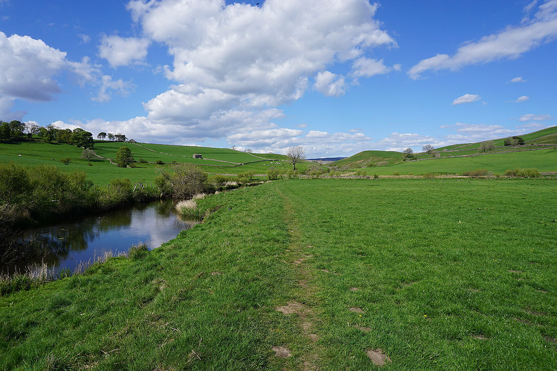
Looking south down Raydale as I leave the River Bain and head up Bracken Hill
Looking across the valley of the River Bain to Crag and Bainbridge High Pasture, with the fells around Wensleydale beyond
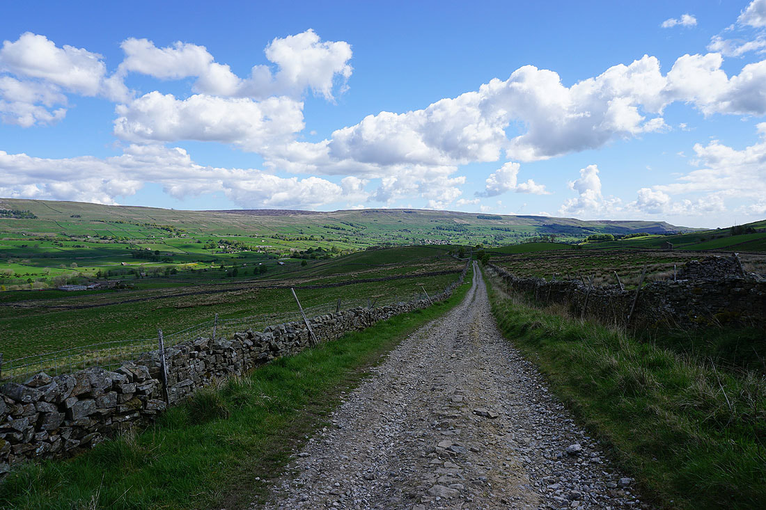
On the home straight as I follow the path down from Bracken Hill towards the A684 just outside Bainbridge...
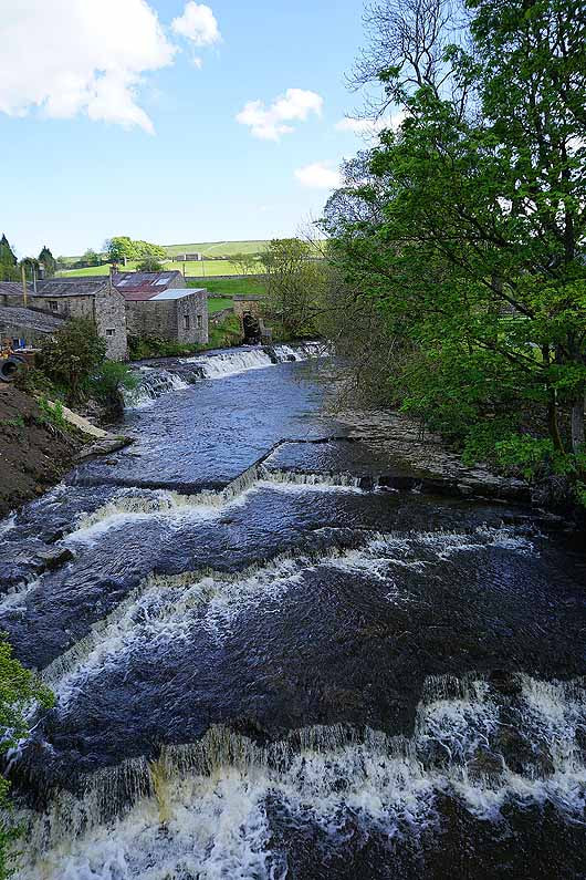
The River Bain at Bainbridge