12th November 2022 - Grassington Moor and Capplestone Gate
Walk Details
Distance walked: 14.7 miles
Total ascent: 2122 ft
OS map used: OL2 - Yorkshire Dales, Southern & Western areas and OL30 - Yorkshire Dales, Northern & Central areas
Time taken: 6.5 hrs
Route description: Kettlewell-Dales Way-Back Pasture-Bare House-High Barn-Yarnbury-Old Moor Lane-Grassington Moor-Black Edge-Mossdale-Conistone Moor-Capplestone Gate-Slatepit Rigg-Kettlewell
Not the walk that I'd planned on doing when I set off from home this morning. It was supposed to be Great Whernside from Kettlewell, and by a route of ascent that I hadn't tried before. However, the blue skies and sunshine at home disappeared as I drove up Wharfedale to Kettlewell so that when I arrived it was grey and overcast, and the cloud was covering the top of Great Whernside. It didn't take me long to decide to do an alternative, and starting from Kettlewell there are plenty of options, but at such short notice I just went for what I was already familiar with, a route across the moors on the eastern side of Wharfedale. Hoping that the brighter skies to the south would reach me for the afternoon I did the lower level part of the walk first, and this proved to be a good decision. As I approached the hamlet of Yarnbury the cloud broke up and cleared away so that I enjoyed a lovely afternoon for being on the moors, with plenty of sunshine and mild temperatures.
From the car park in Kettlewell I walked through the village and onto the trail of the Dales Way, which I followed south down Wharfedale past Conistone Pie and the top of Conistone Dib. Just south of here I left the trail at a footpath junction, and took the footpath east up the hillside to Back Pasture and Bare House, then to High Barn, where I joined a track that took me south to the top of Moor Lane at the hamlet of Yarnbury. After stopping for lunch here I took the track of Old Moor Lane and followed it up to the ruins of the Grassington Lead Mines, and then another track north up onto Grassington Moor, below Black Edge and down to Mossdale, where I turned right and took a track east past Mossdale Scar to a footbridge over Mossdale Beck. I didn't cross the bridge but took a track uphill and then a path west across Conistone Moor to its western edge and the trig point at Capplestone Gate. Once I'd taken in the view I made my way north along the edge of the moor to Slatepit Rigg where I reached the top of the bridleway down to Kettlewell. I took this and followed it downhill back to Kettlewell.
Route map
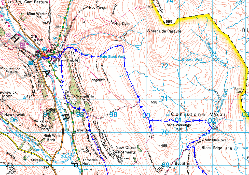
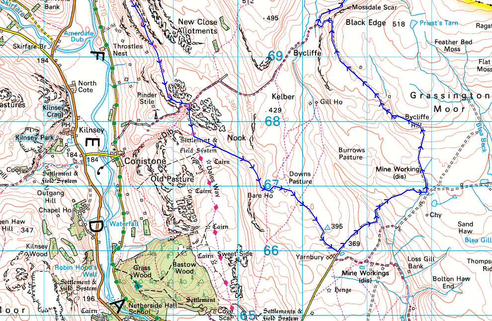
© Crown copyright. All rights reserved. License number PU 100034184.
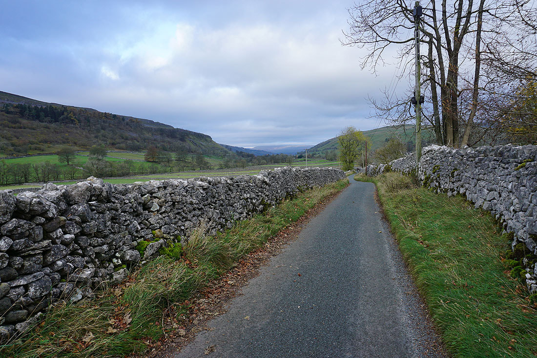
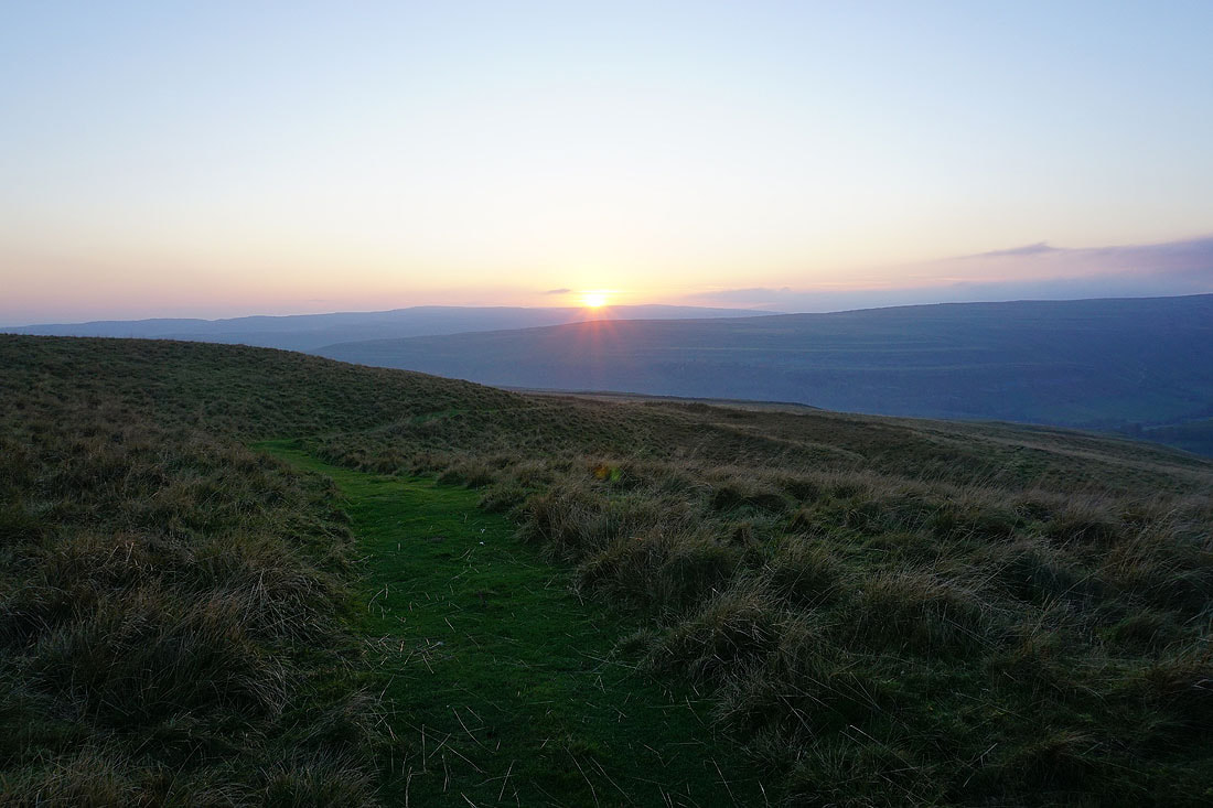
I leave Kettlewell behind by taking the Dales Way...
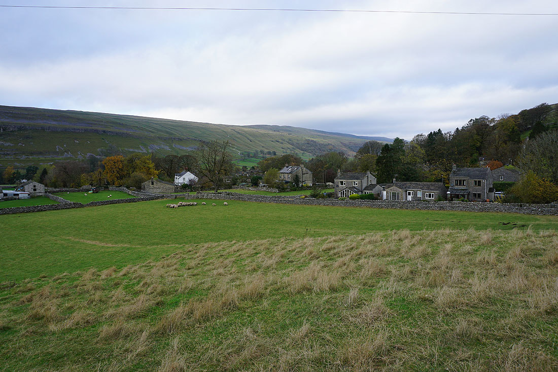
Looking up Wharfedale from the Kettlewell to Conistone road
I keep on the Dales Way by taking the track of Highgate Leys Lane
Looking back down to Wharfedale
Following the Dales Way south above Wharfedale...
Looking across Wharfedale to Kilnsey Crag
and to where Littondale meets Wharfedale
Passing the limestone outcrop of Conistone Pie..
and the dry valley of Conistone Dib
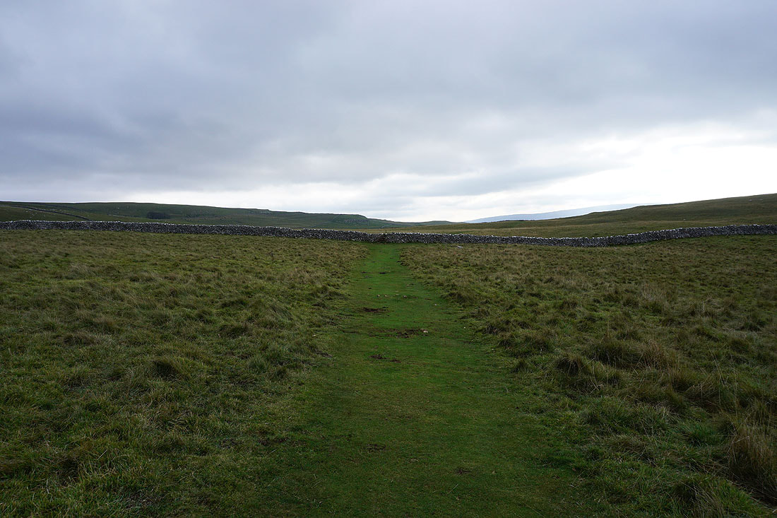
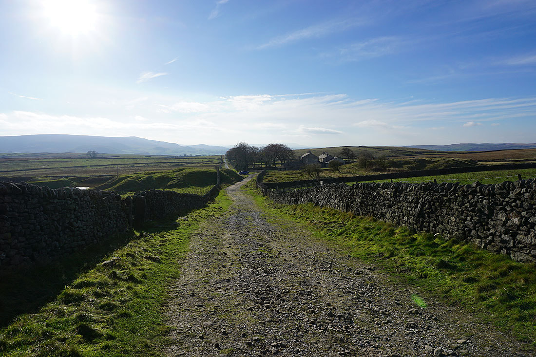
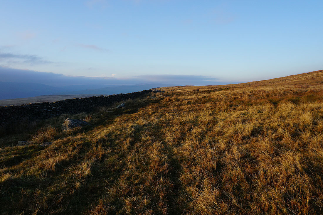
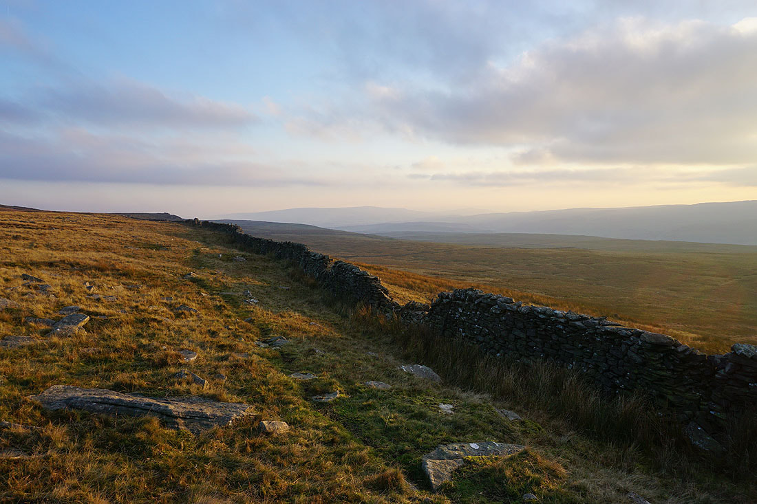
The wall ahead is where I'll leave the Dales Way and take a footpath up onto the hillside of Back Pasture
Looking back from Back Pasture as the sun comes out across Wharfedale..
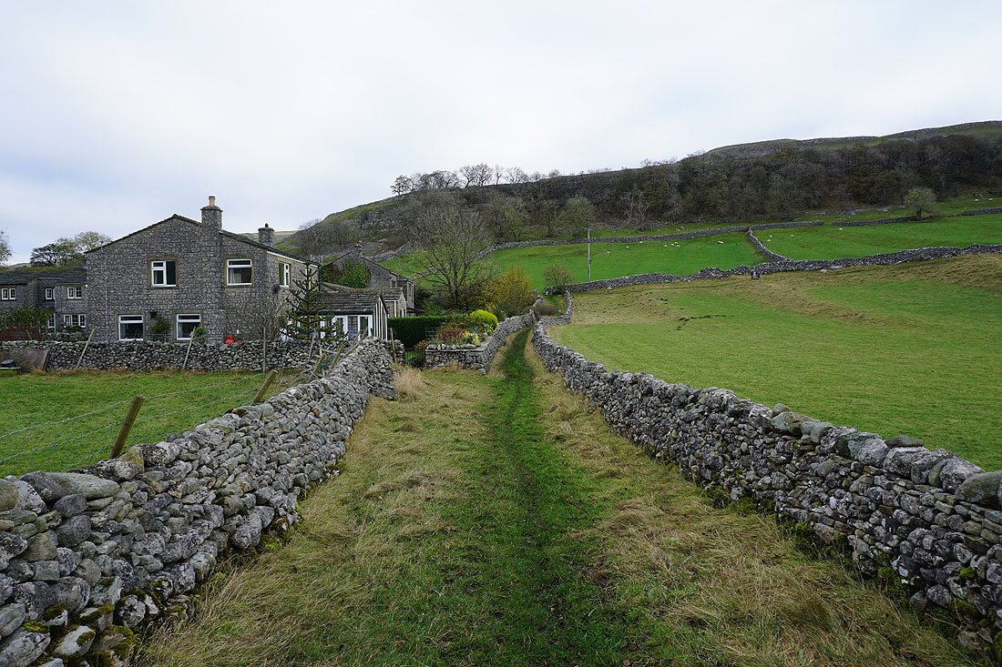
At Bare House
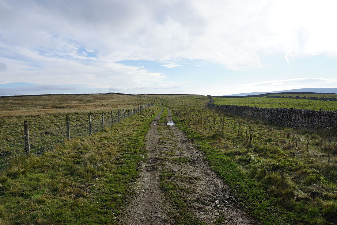
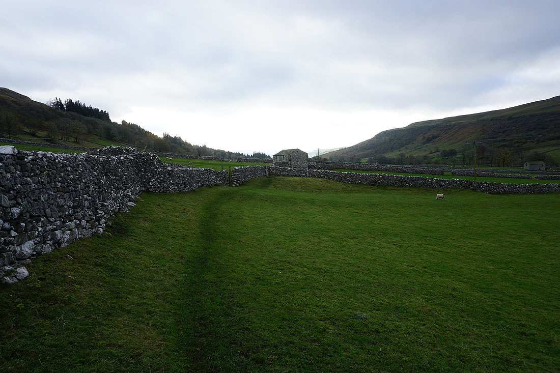
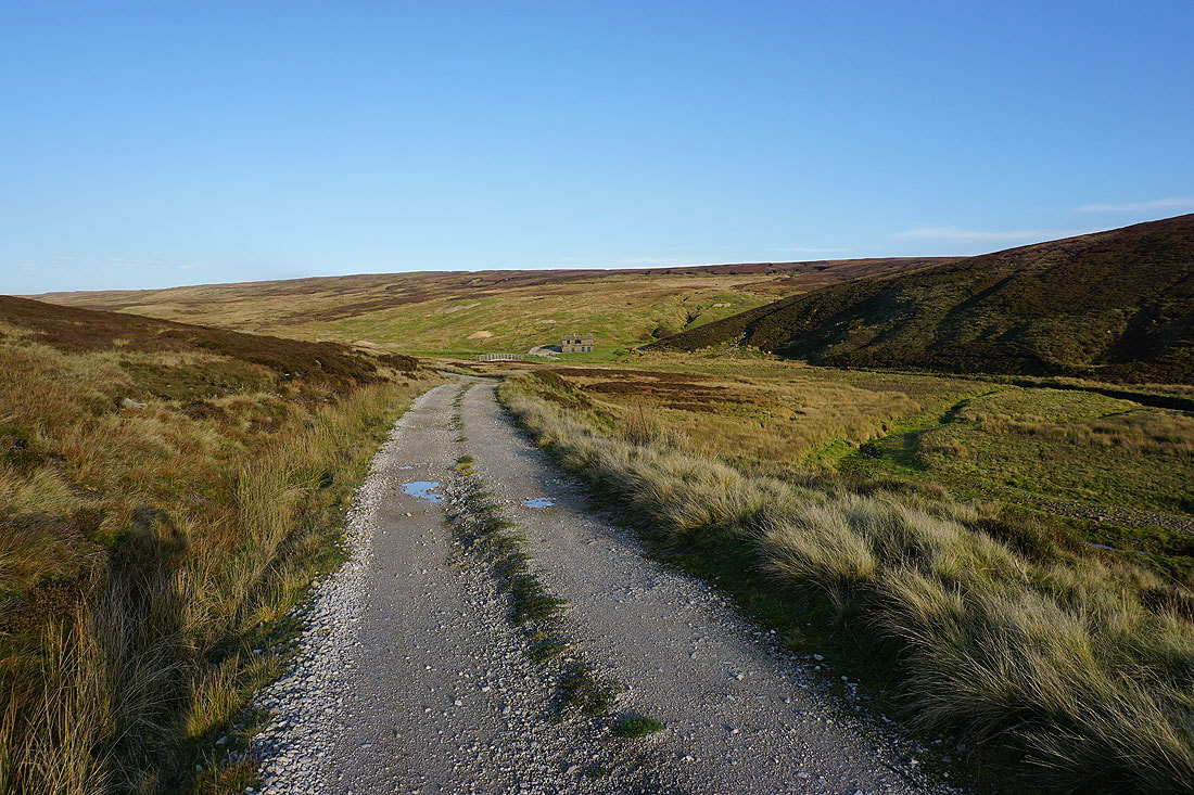
From Bare House I follow a track south across New Pasture Edge to Yarnbury....
Yarnbury from Old Moor Lane
Simon's Seat in the distance beyond Bolton Haw and Mossy Moor
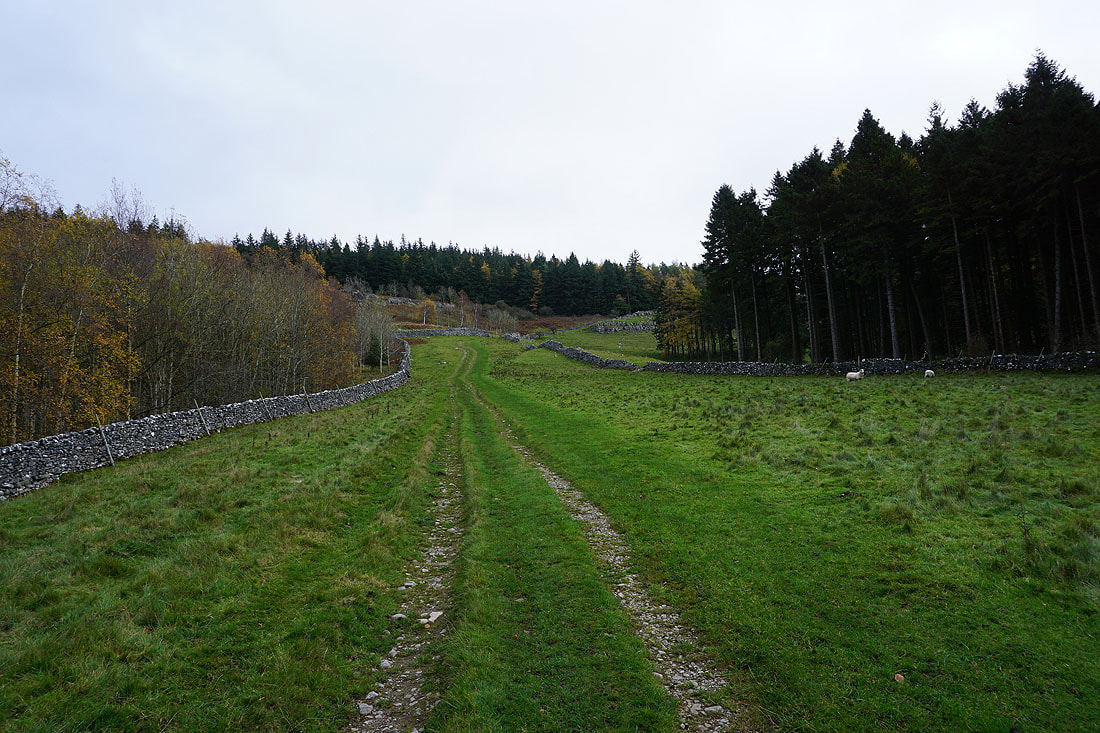
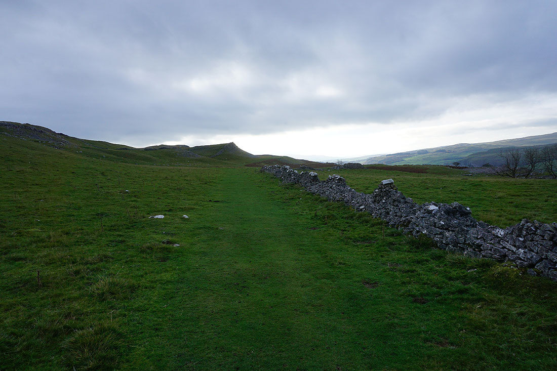
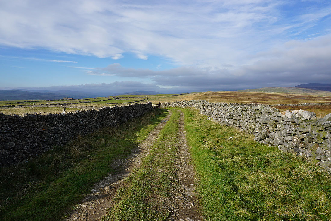
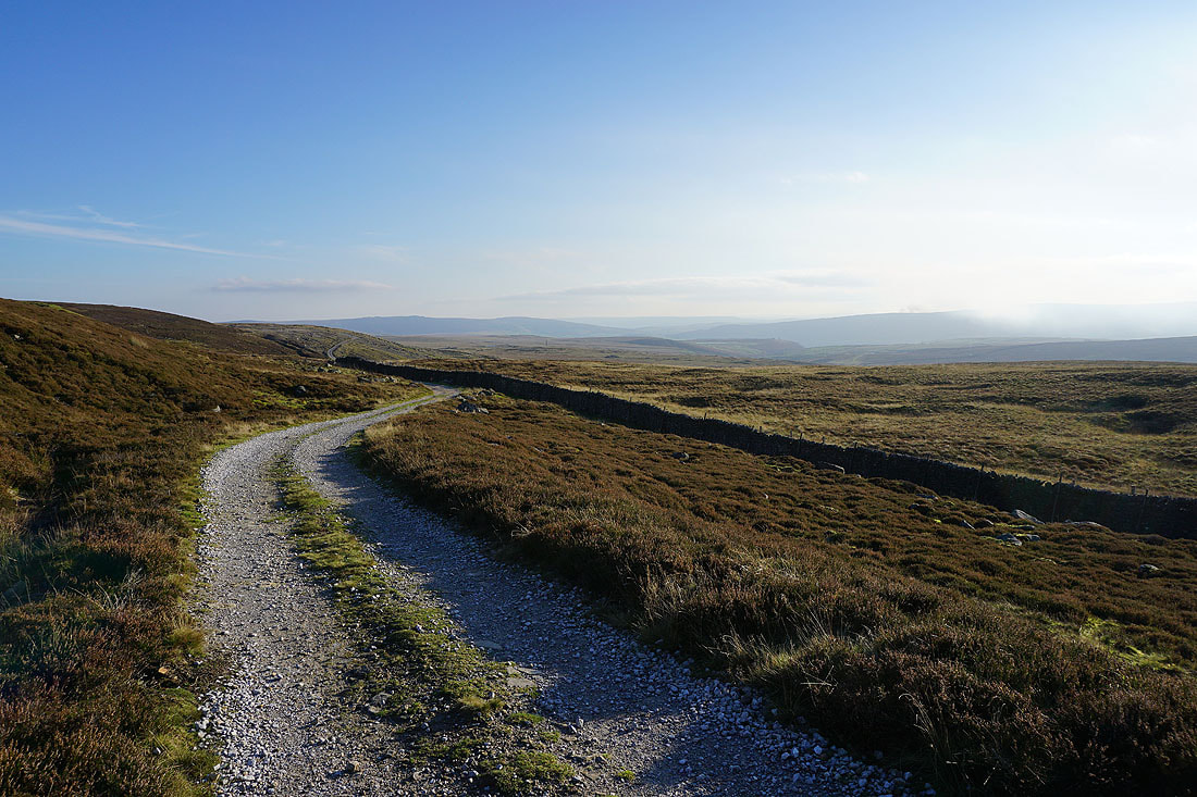
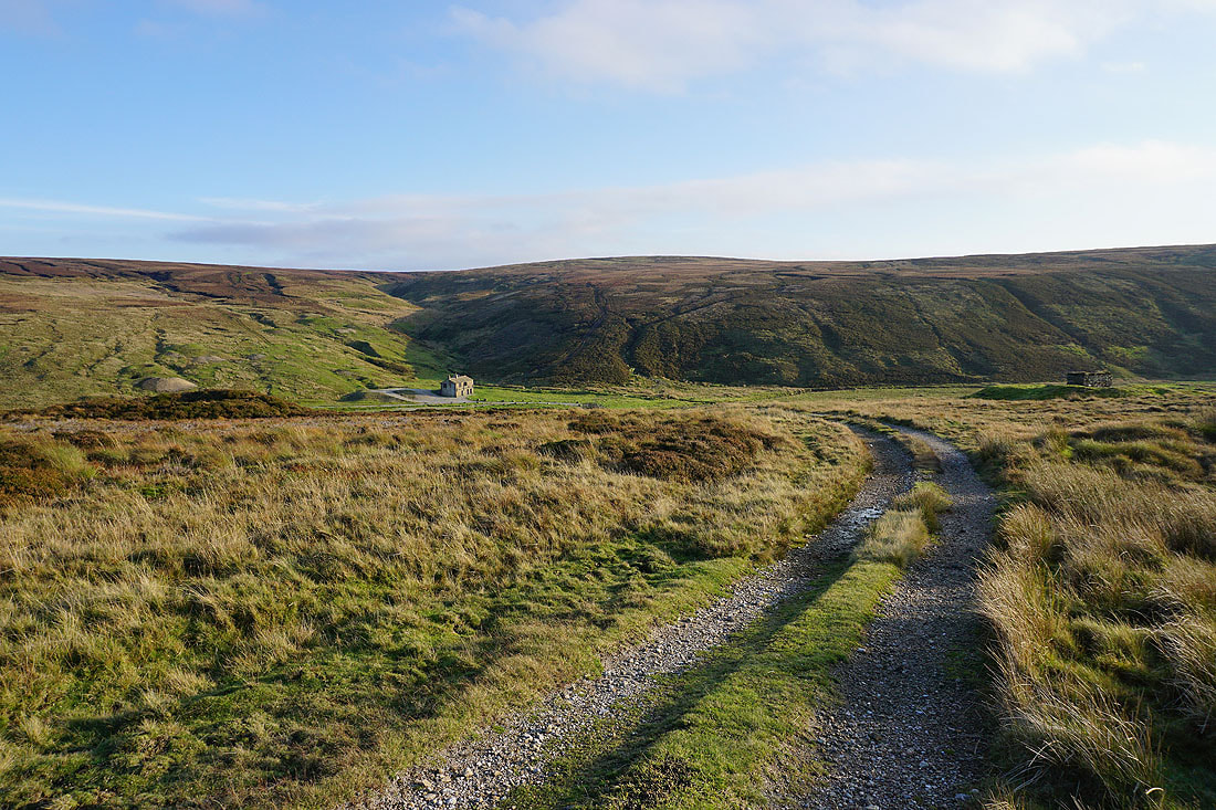
Heading north along Old Moor Lane to the ruins of the Grassington Lead Mines
Looking back to New Pasture Edge with Barden Moor in the distance on the left
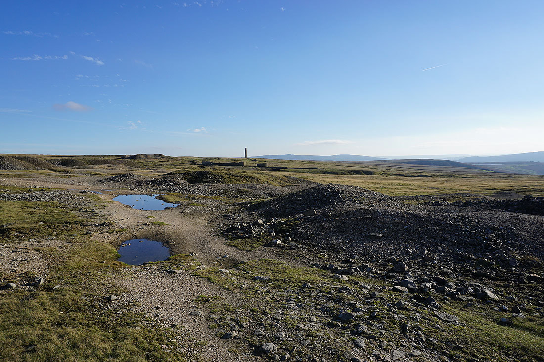
Amongst the ruins of the Grassington Lead Mines
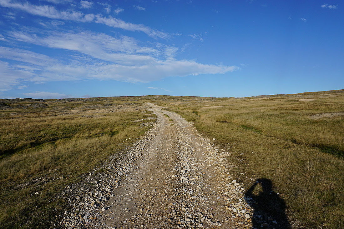
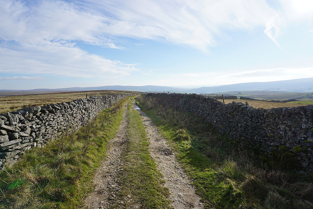
Following the track up onto Grassington Moor...
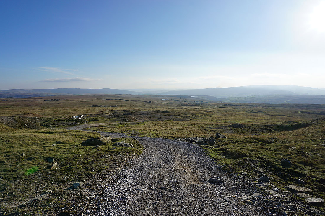
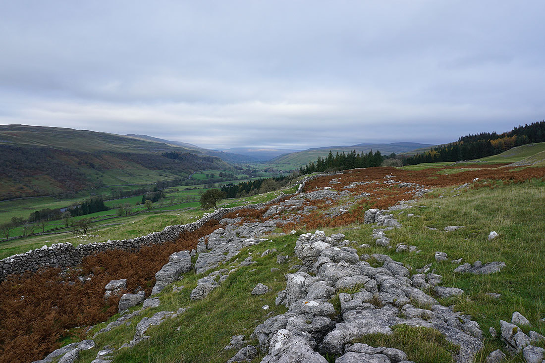
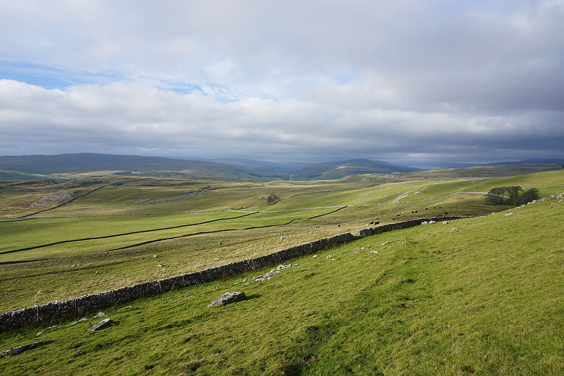
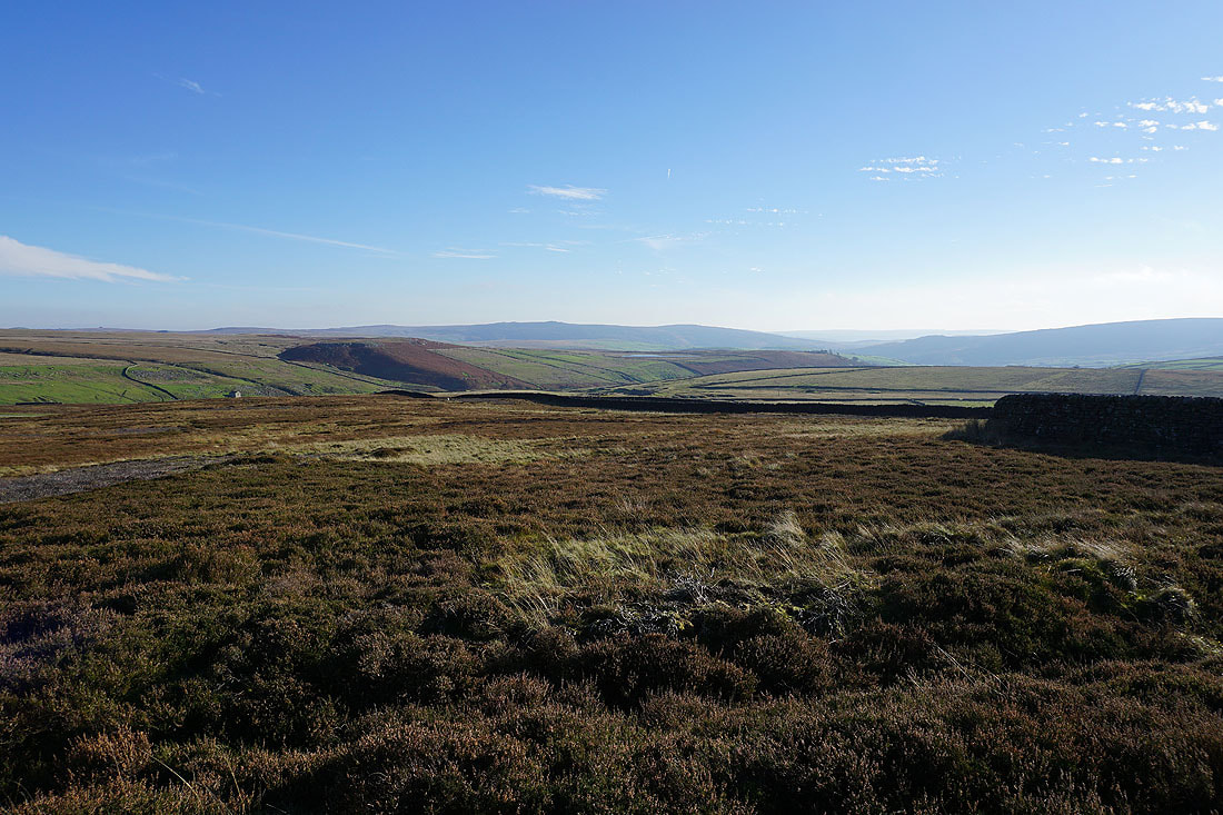
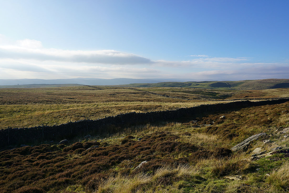
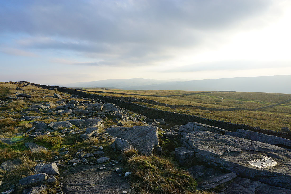
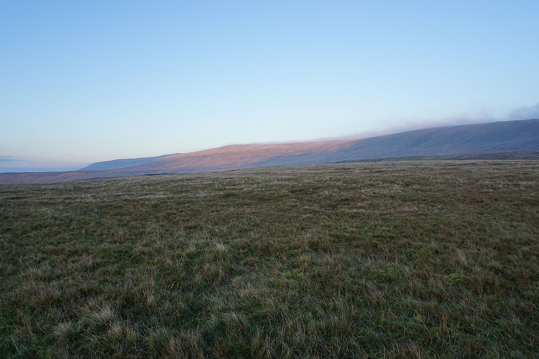
Looking back from Grassington Moor, with Simon's Seat in the distance on the left and Barden Moor on the right
The lead in the soil that's been left behind from the mining means that nothing can grow. It creates a bleak and stark landscape.
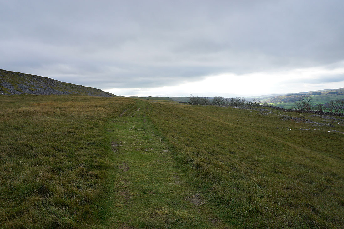
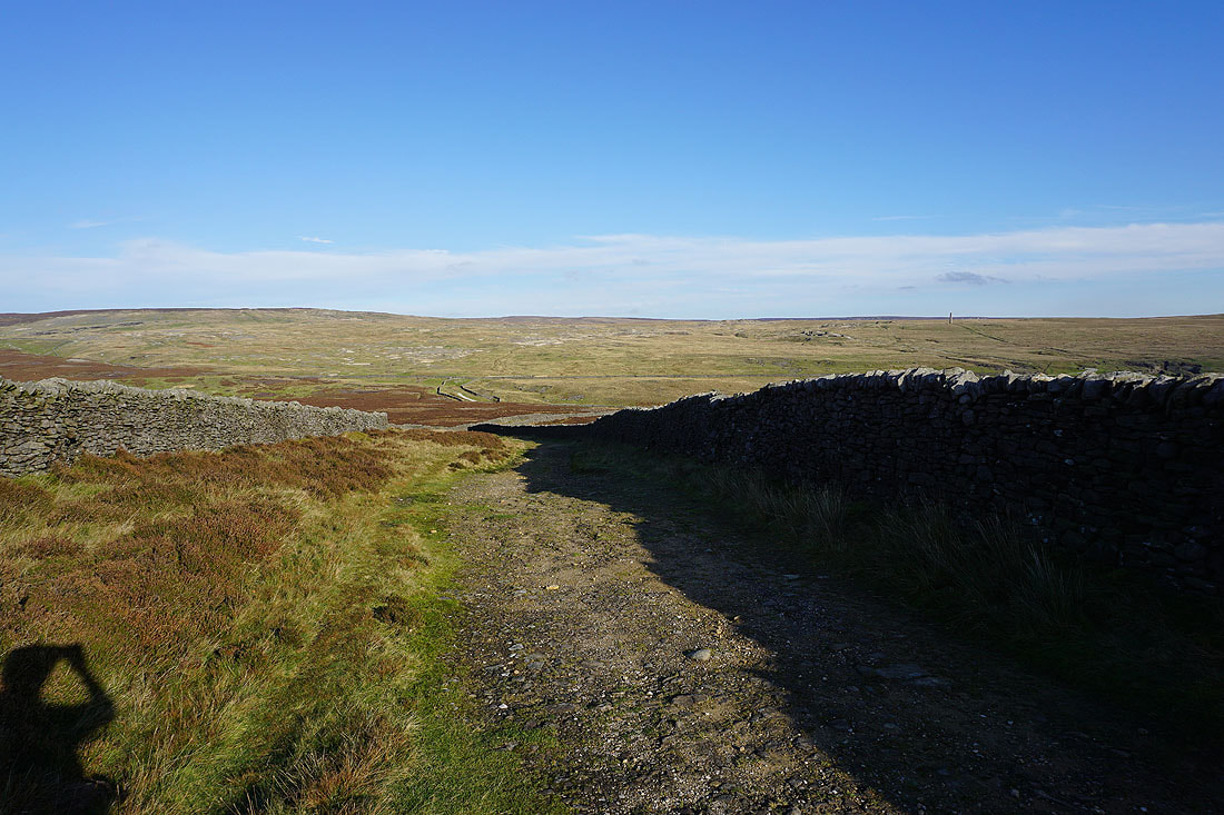
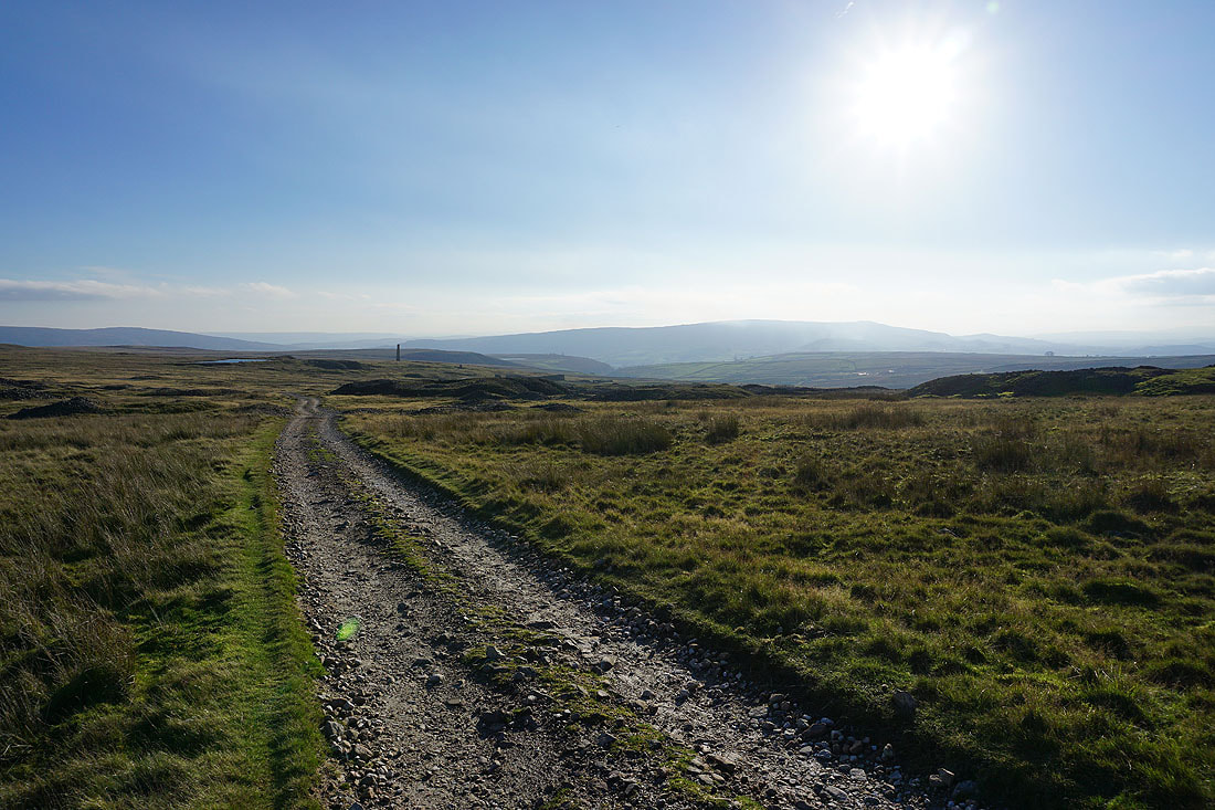
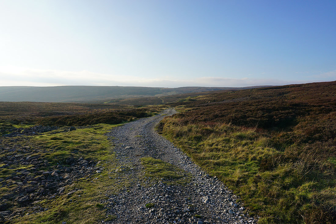
I follow the track northwest, down to and across Black Edge Dike, and then below Black Edge..
Looking south to Simon's Seat and Barden Moor from below Black Edge..
..and west across Wharfedale
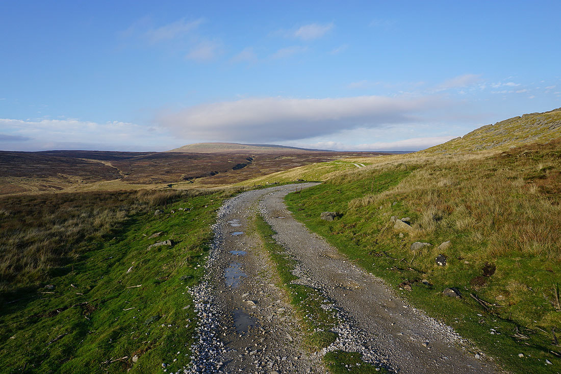
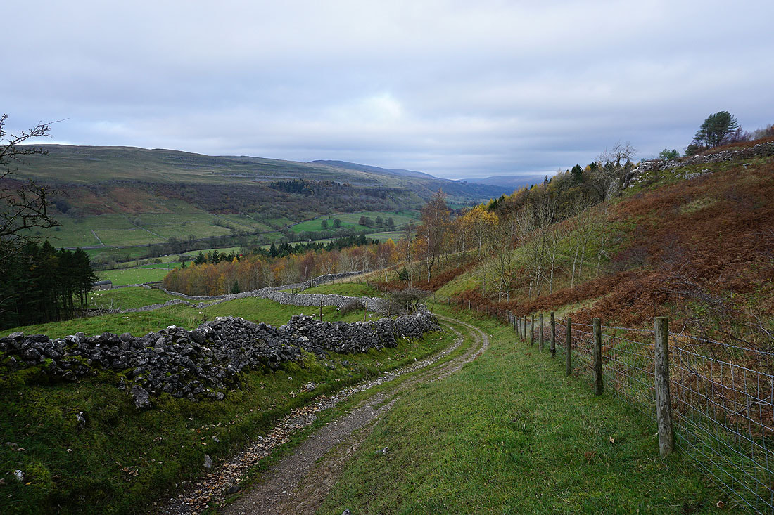
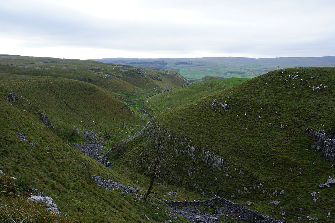
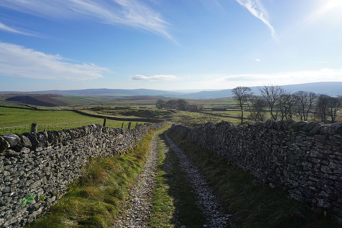
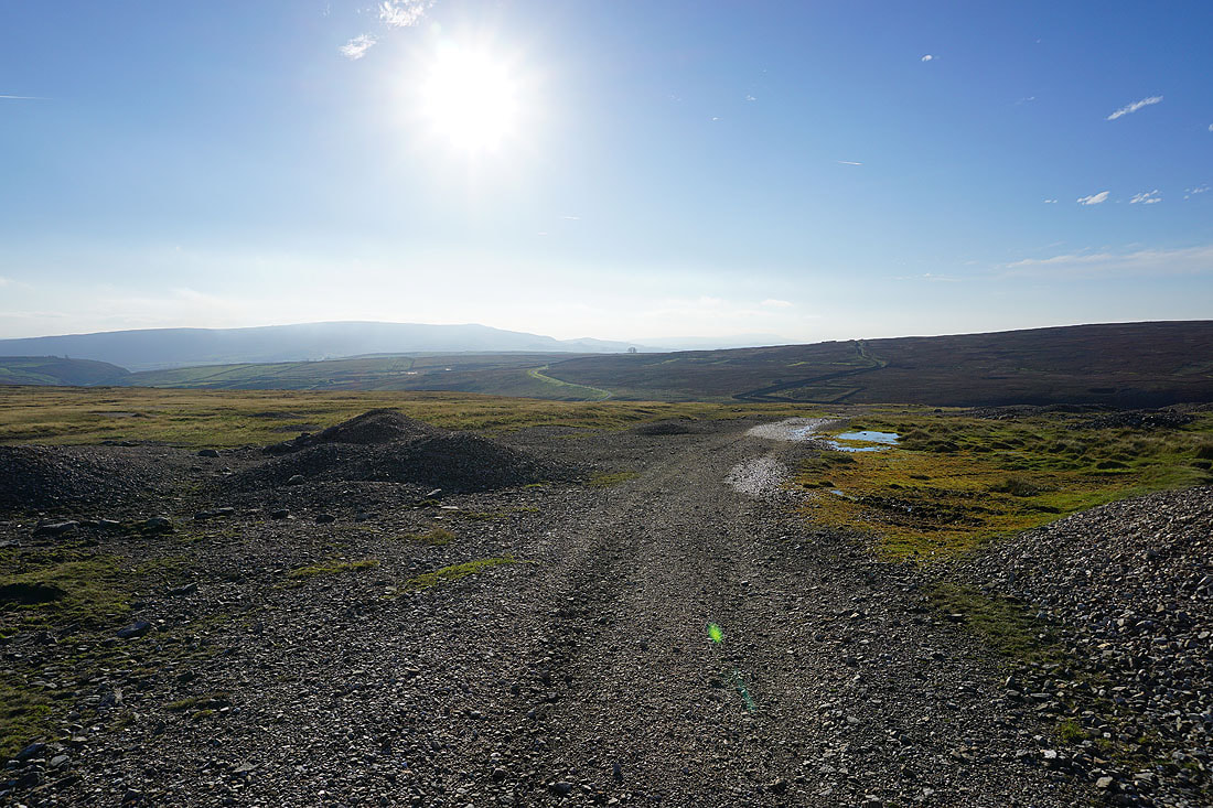
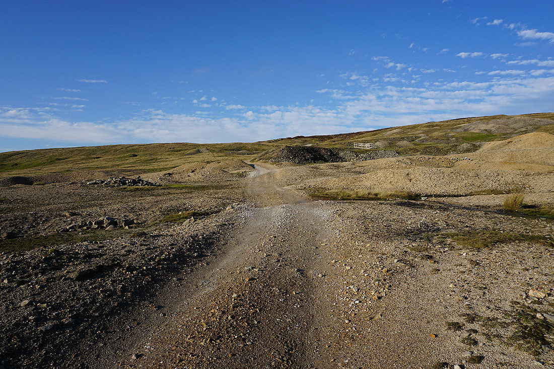
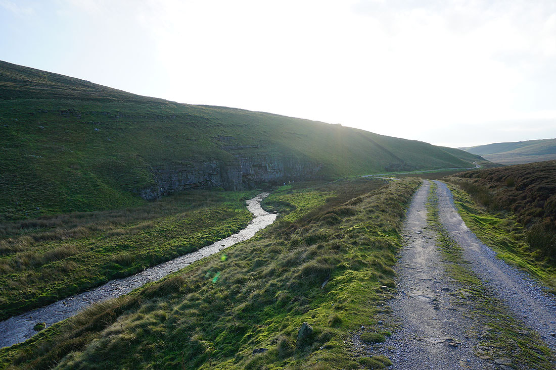
Following the track north to Mossdale..
..and then into Mossdale
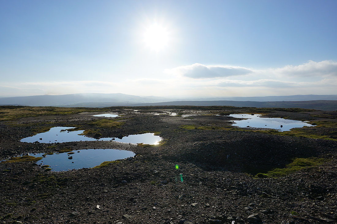
Mossdale Beck disappears at the foot of Mossdale Scar into Mossdale Caverns. It resurfaces as Black Keld by the River Wharfe just south of Kettlewell.
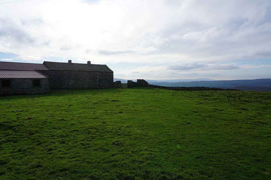
Approaching the shooting hut in Mossdale
Looking back to the shooting hut in Mossdale as I head up onto Conistone Moor
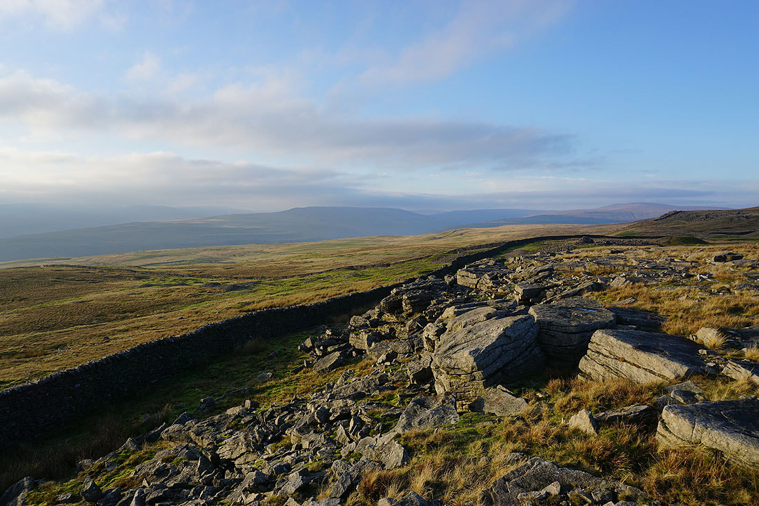
Following the path west across Conistone Moor
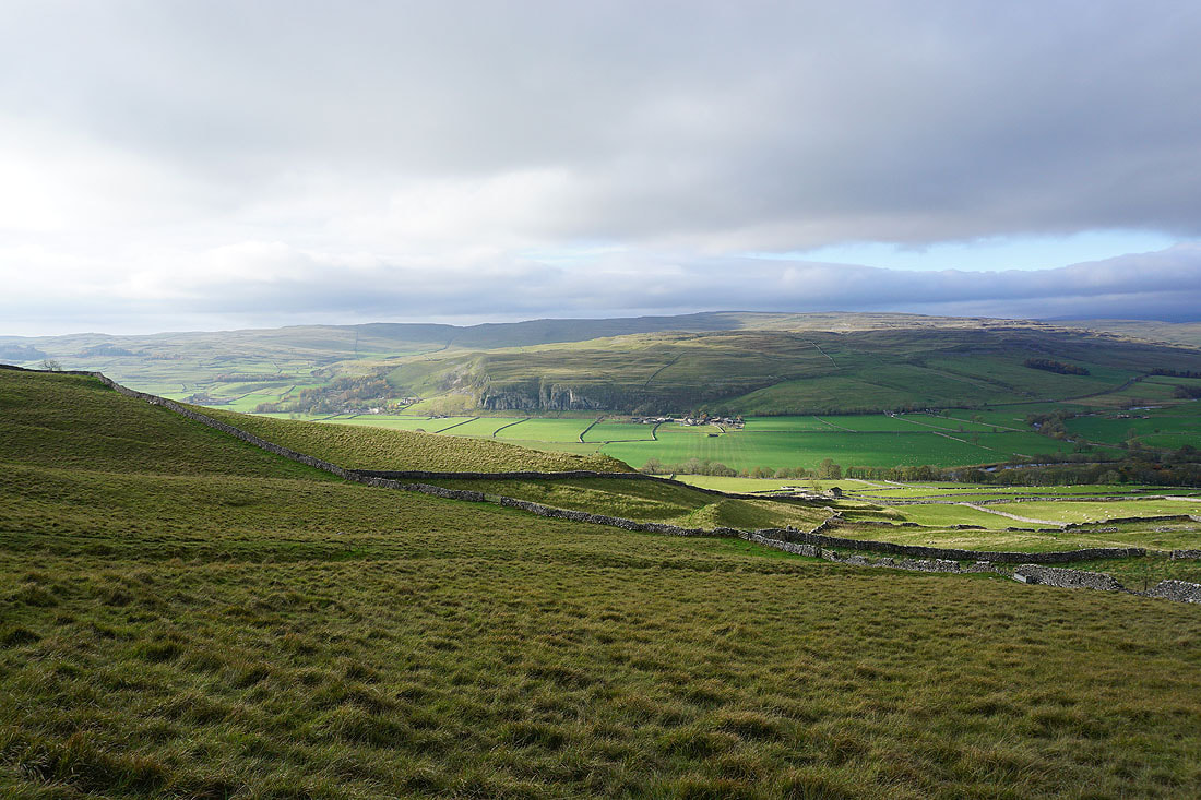
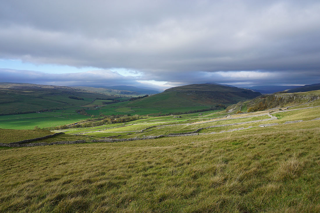
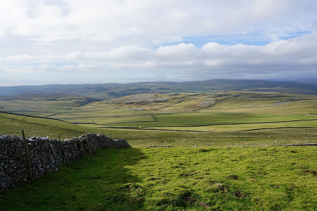
My arrival on the western edge of Conistone Moor is greeted by fantastic view across Wharfedale, with Barden Moor to the south
and across Wharfedale and Littondale to Darnbrook Fell, Old Cote Moor Top, Yockenthwaite Moor and Buckden Pike
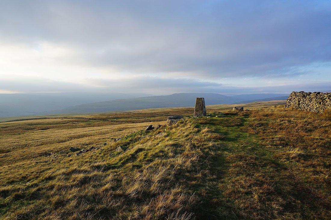
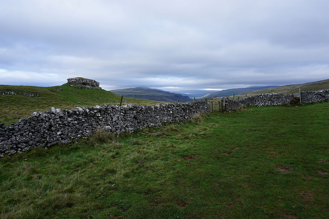
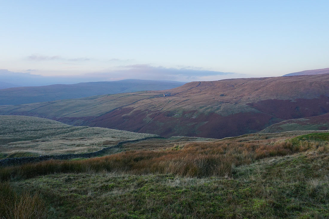
At the trig point at Capplestone Gate. Looking northwest to the fells round Littondale and upper Wharfedale..
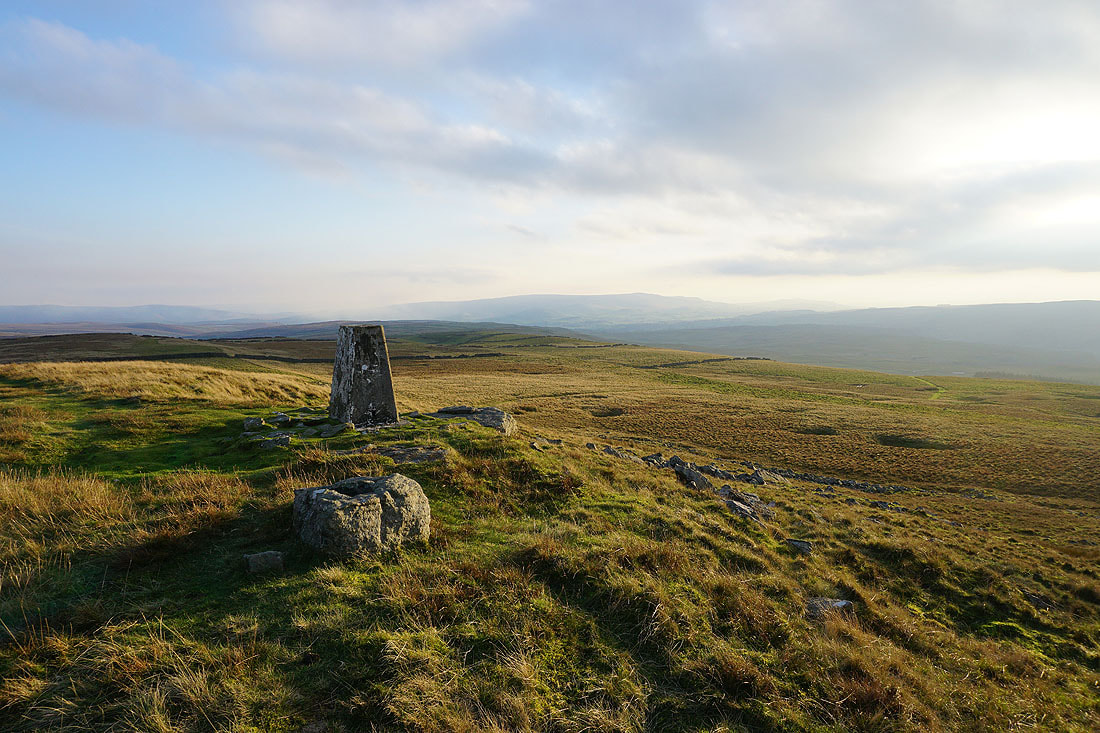
and south down Wharfedale to Barden Moor
Looking across to where I was earlier in the day, Black Edge and Grassington Moor
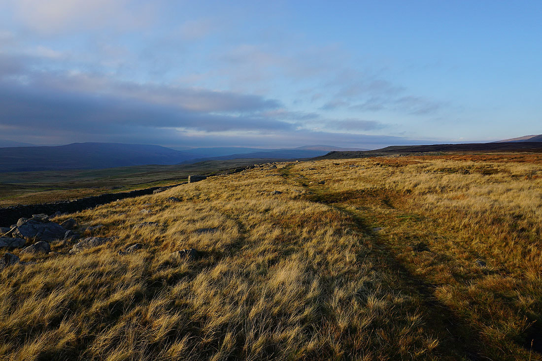
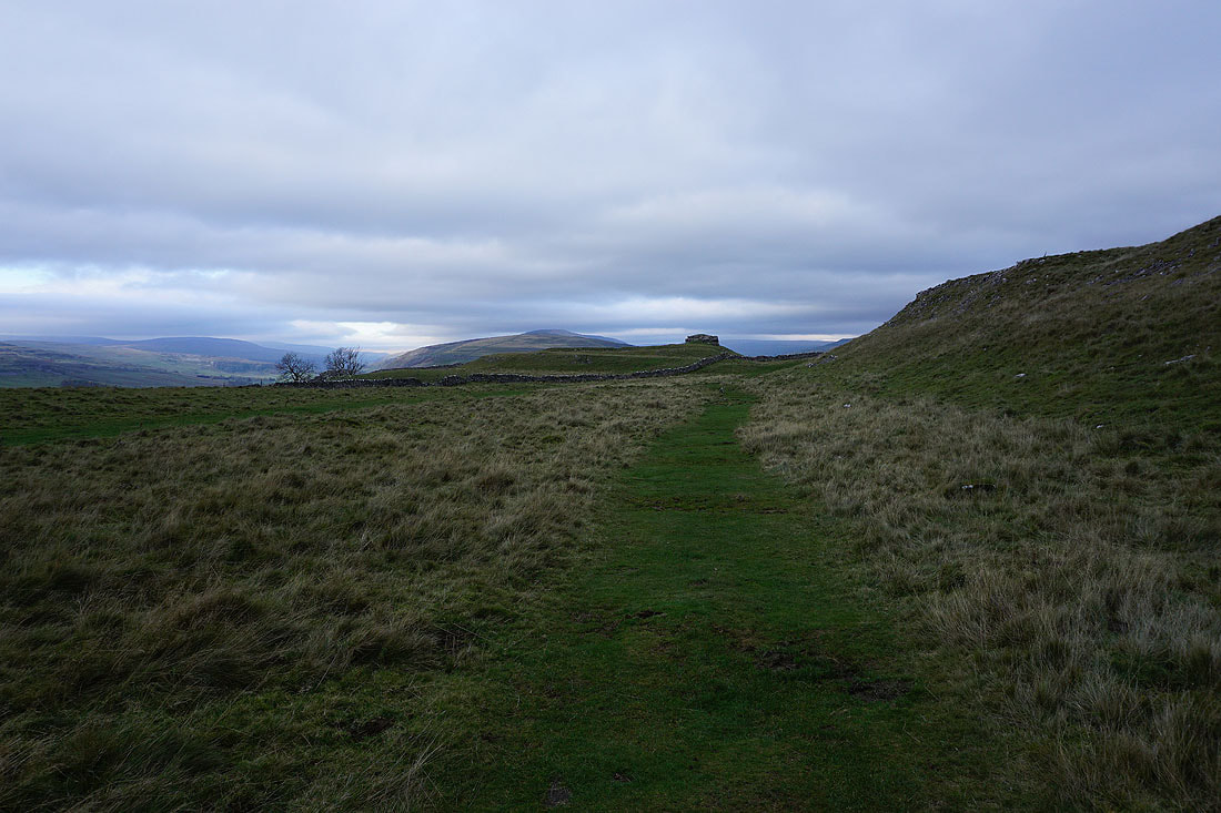
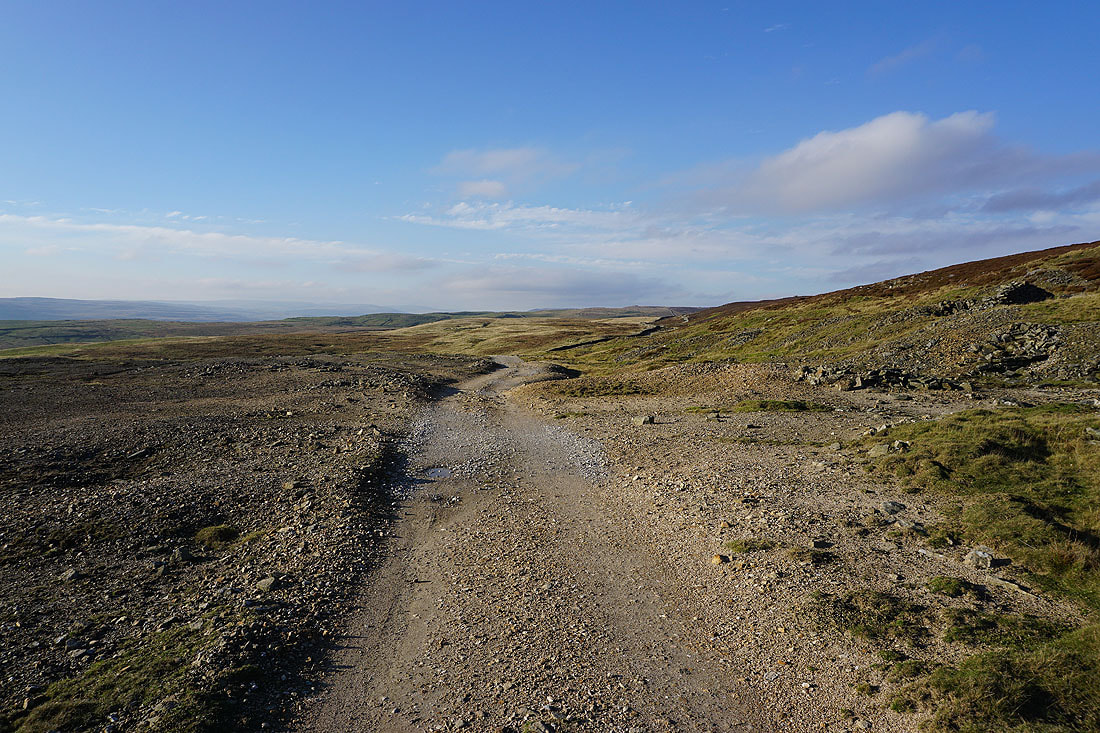
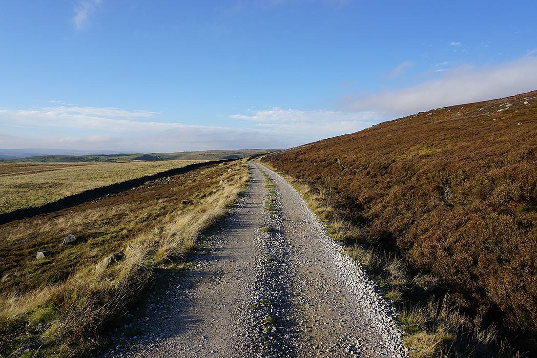
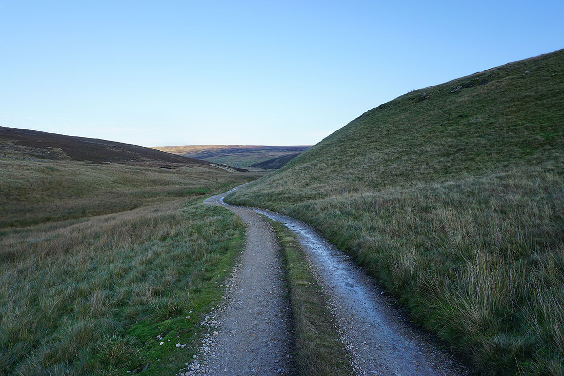
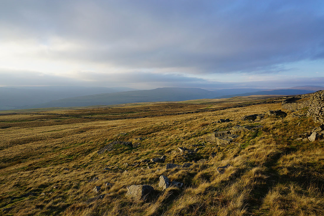
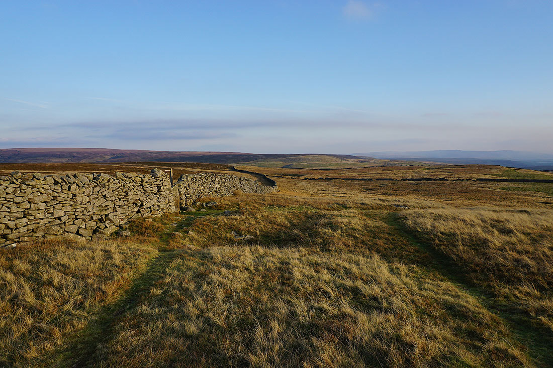
Leaving the trig point behind I head north along the edge of the moor to Slatepit Rigg. The setting sun is giving a great light....
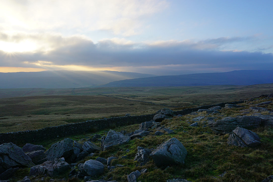
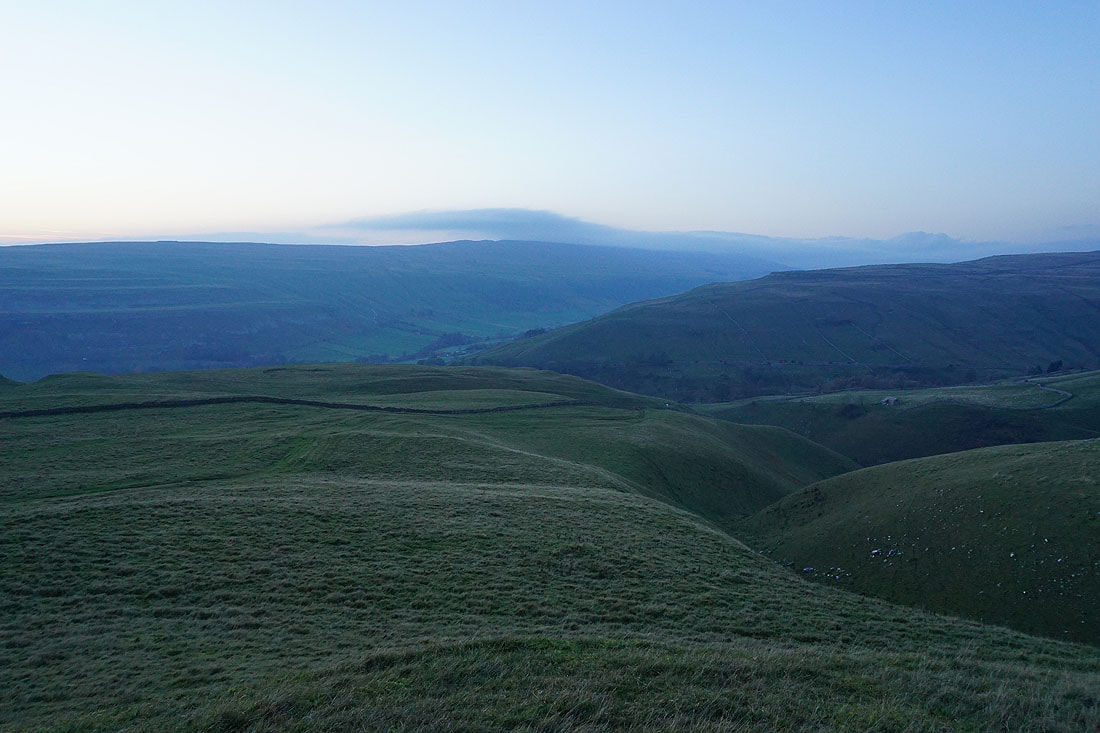
To my right there's cloud flowing across the top of Great Whernside
Looking across Dowber Gill to the Hag Dyke Hostel on the opposite hillside as I reach the top of the bridleway down to Kettlewell
The sun sets as I follow the bridleway down to Kettlewell..
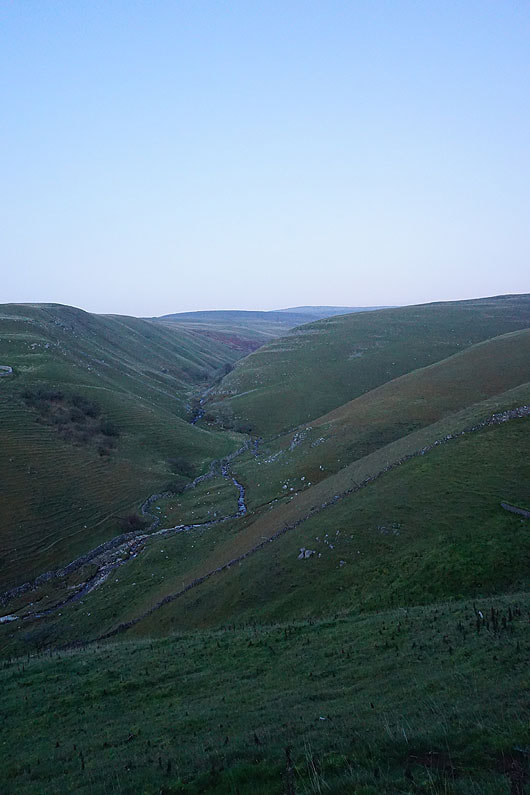
Looking up Dowber Gill to the top of Great Whernside
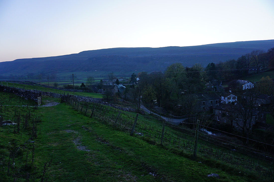
Returning to Kettlewell in the last of the light