12th October 2008 - Carrock Fell, High Pike and Knott
Walk Details
Distance walked: 9.8 miles
Total ascent: 2431 ft
OS map used: OL5 - The English Lakes, North-eastern area & OL4 - The English Lakes, North-western area
Time taken: 6 hrs
Route description: Apronful of Stones-Carrock Fell-Round Knott-Miton Hill-High Pike-Great Lingy Hill-Miller Moss-Knott-Coomb Height-Mosedale-Apronful of Stones
I started this walk from the roadside at Apronful of Stones under the eastern slopes of Carrock Fell. My route up Carrock Fell was by the path of Rake Trod which takes advantage of a break in the crags on Carrock Fell's eastern face. After the climb and visiting Carrock Fell's summit I then made my way to High Pike. From High Pike I made my way across Great Lingy Hill and Miller Moss to the summit of Knott. The route back was by the east ridge of Knott, Coomb Height and a walk down Mosedale.
Route map
© Crown copyright. All rights reserved. License number PU 100034184.
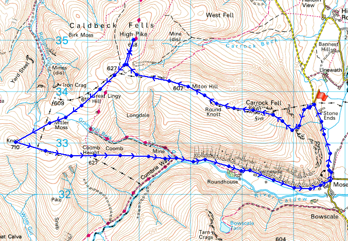
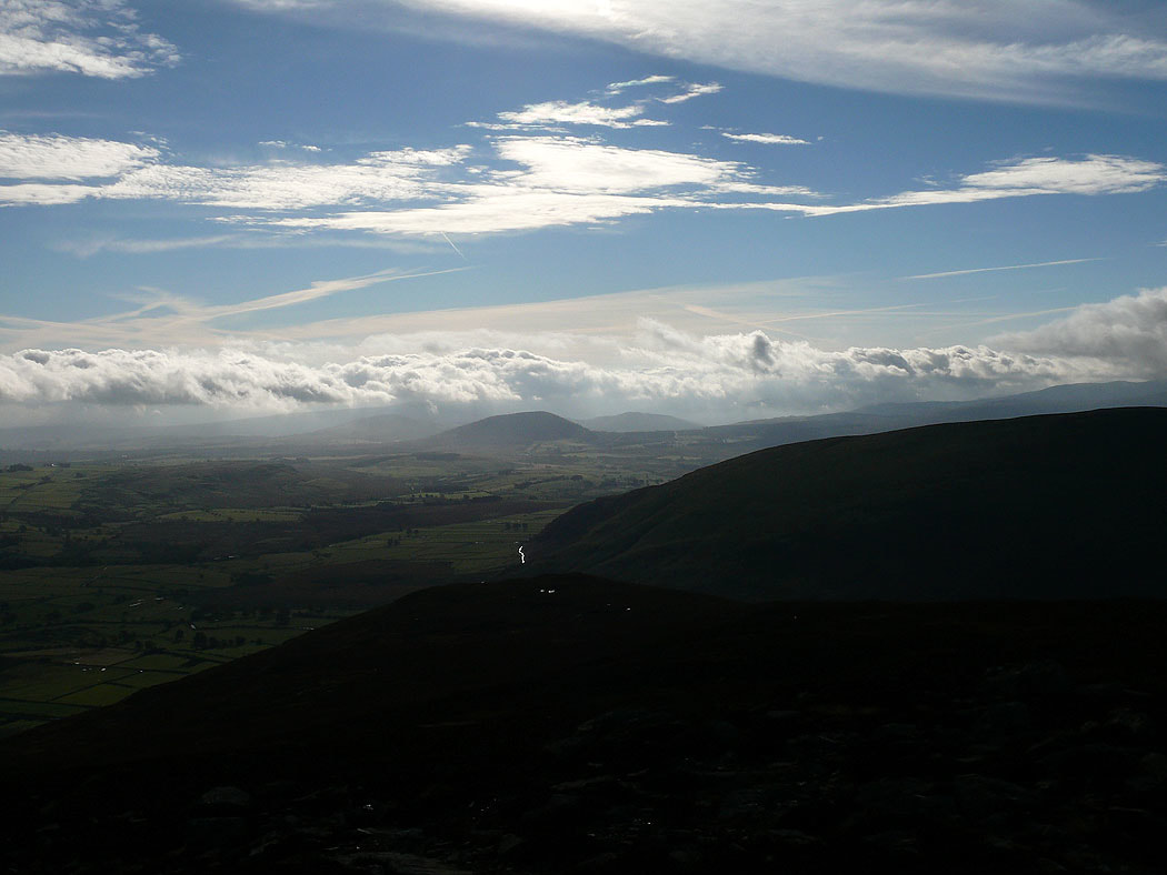
On the east peak of Carrock Fell and the view across to High Pike
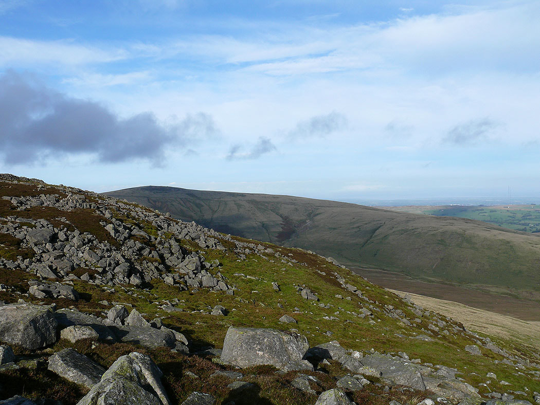
The North Pennines in the distance across the Vale of Eden
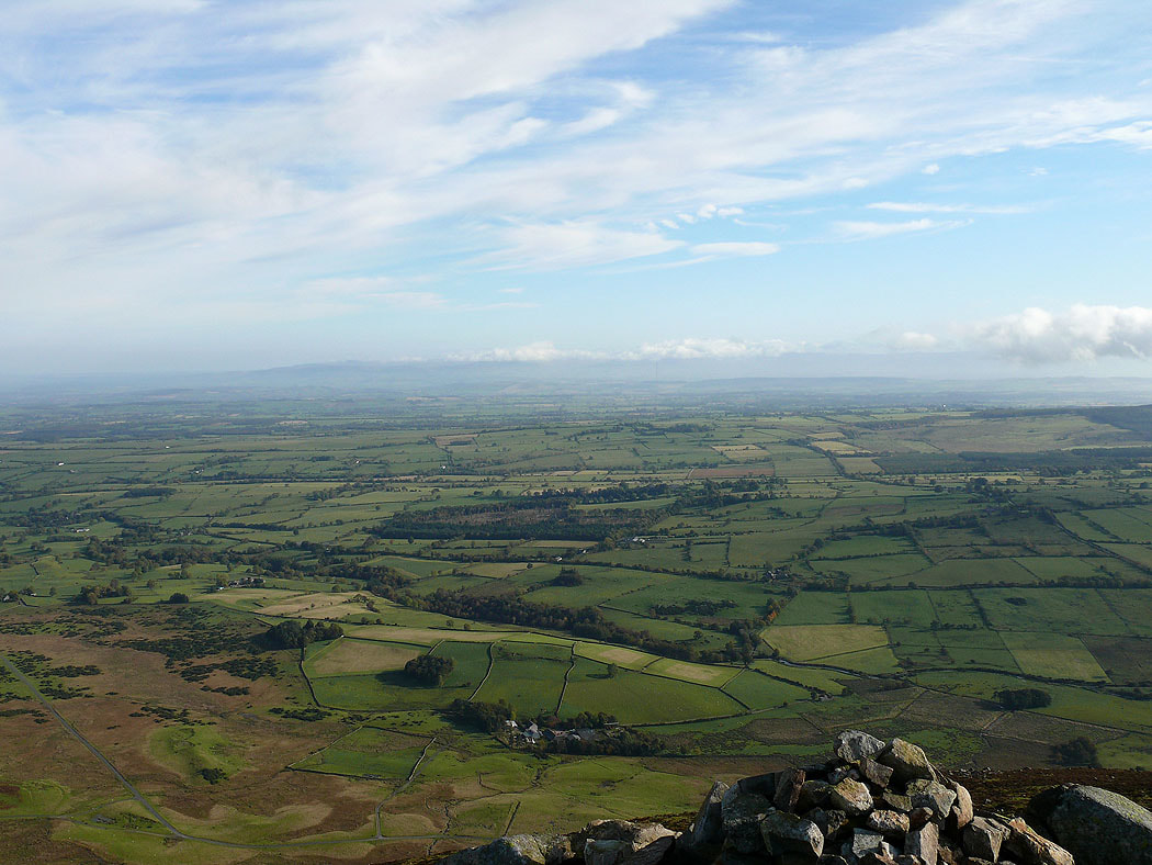
Cloud on Bowscale Fell
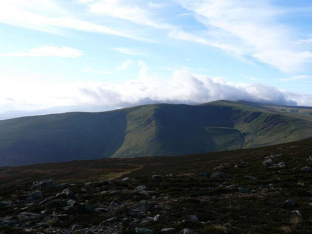
The view across to Great Mell Fell
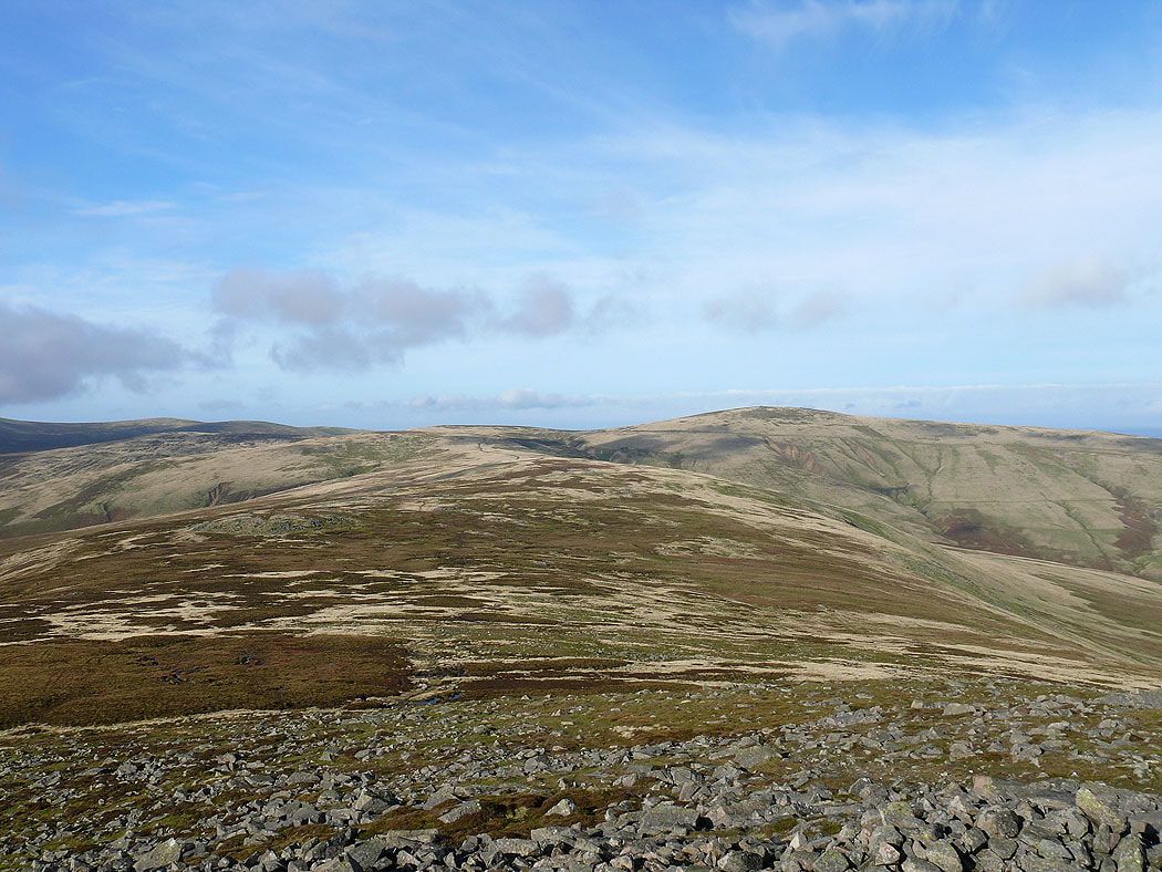
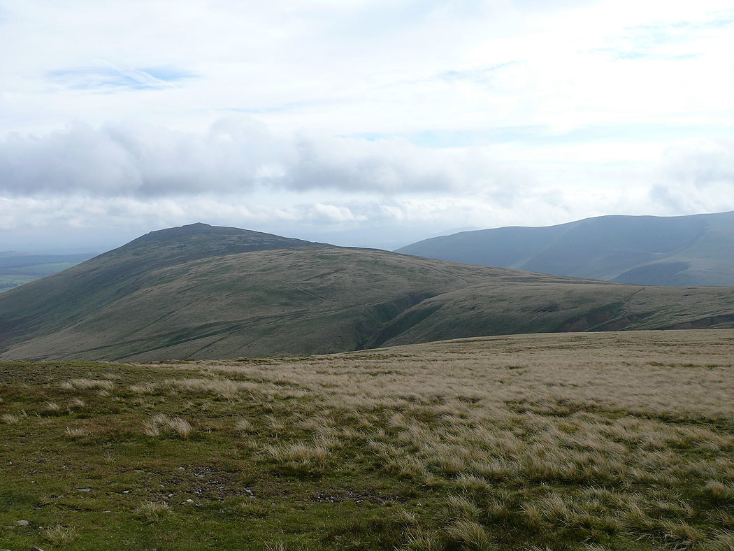
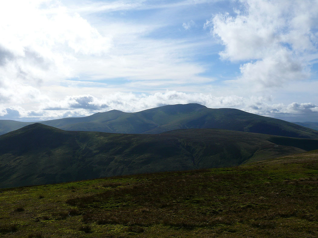
On the summit of Carrock Fell and the view ahead to High Pike
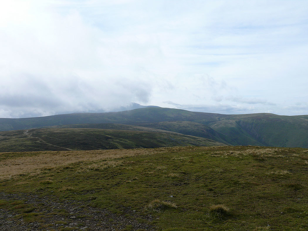
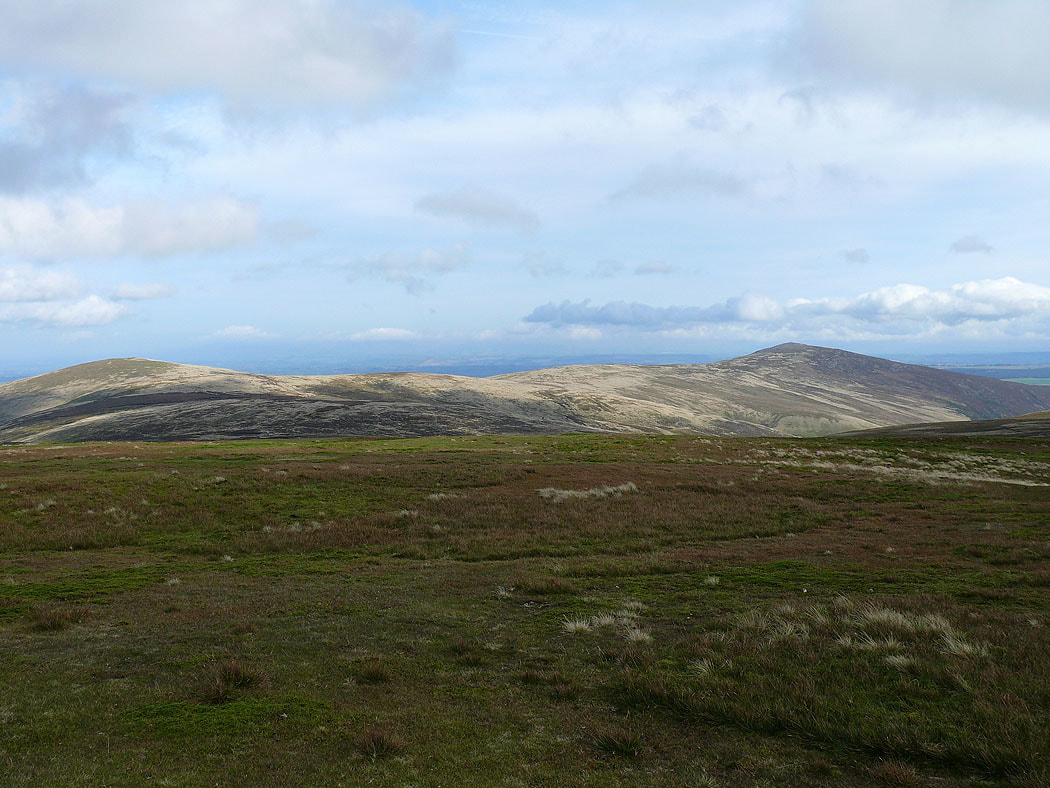
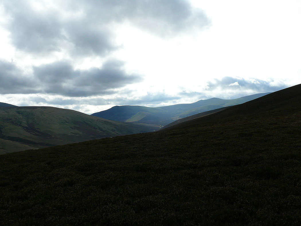
Cloud on the summit of Knott and the ridge of Coomb Height heading down into Mosedale
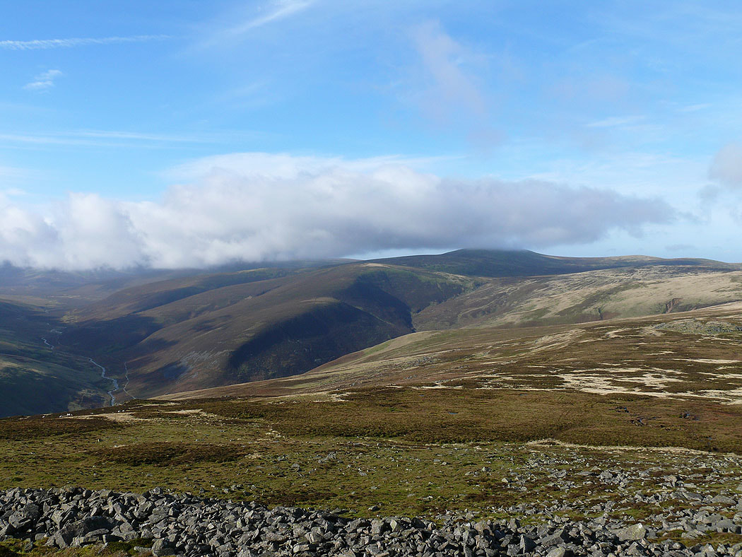
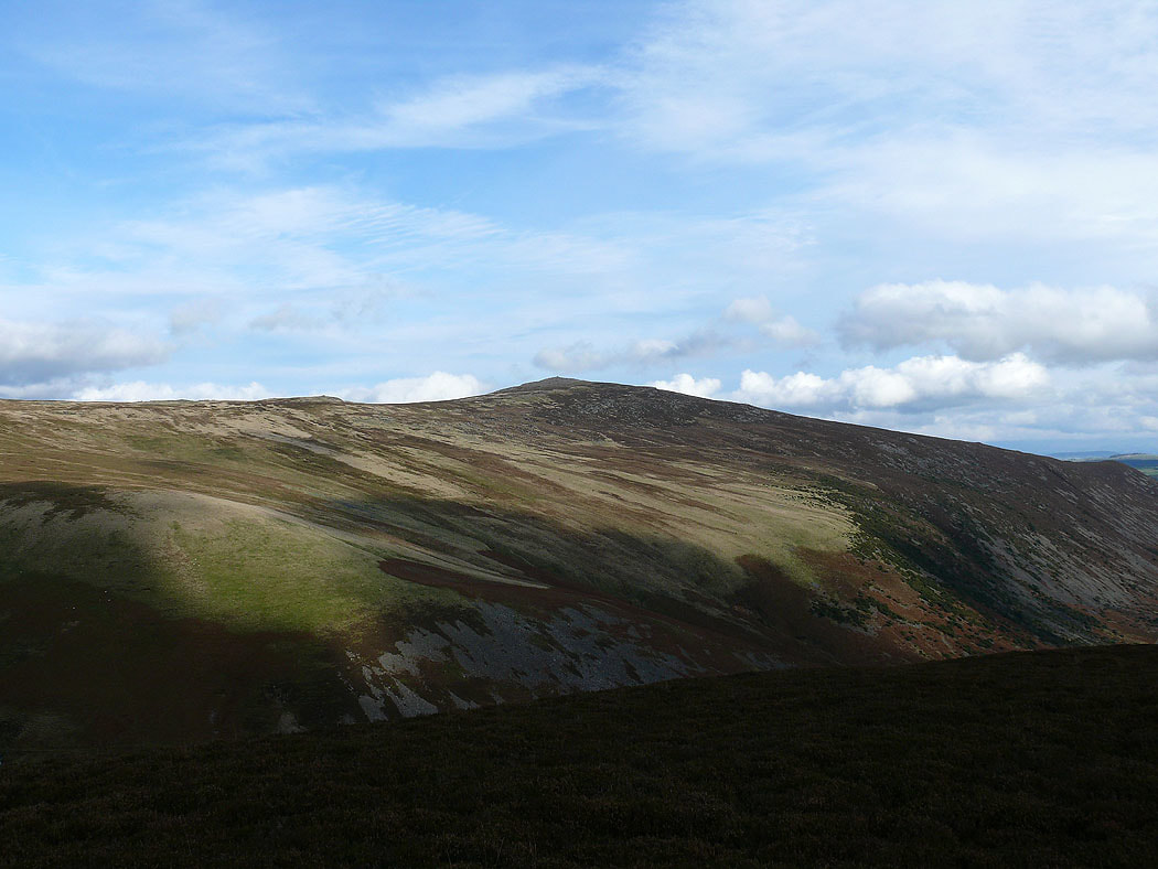
On the summit of High Pike and the view across to Knott with cloud on Skiddaw behind
Carrock Fell
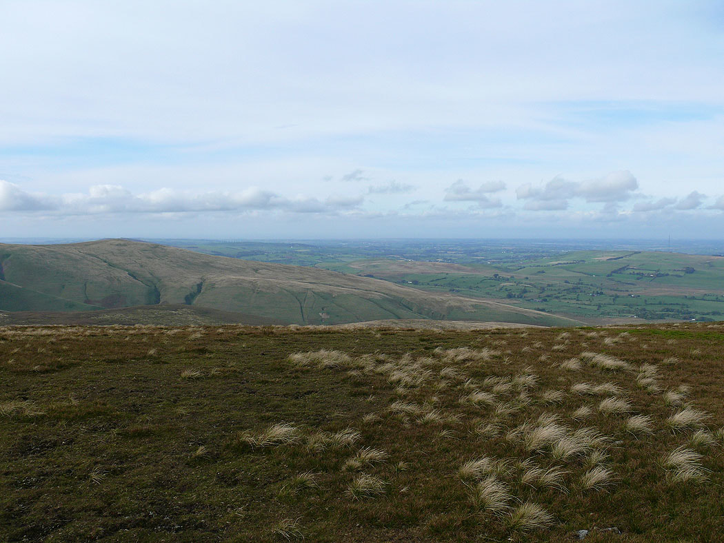
Brae Fell and the northern plain
High Pike on the left and Carrock Fell on the right from Knott
The less interesting side of Blencathra
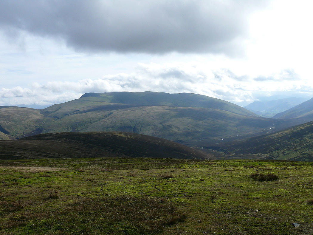
Skiddaw and the pointed top of Great Calva close on the left
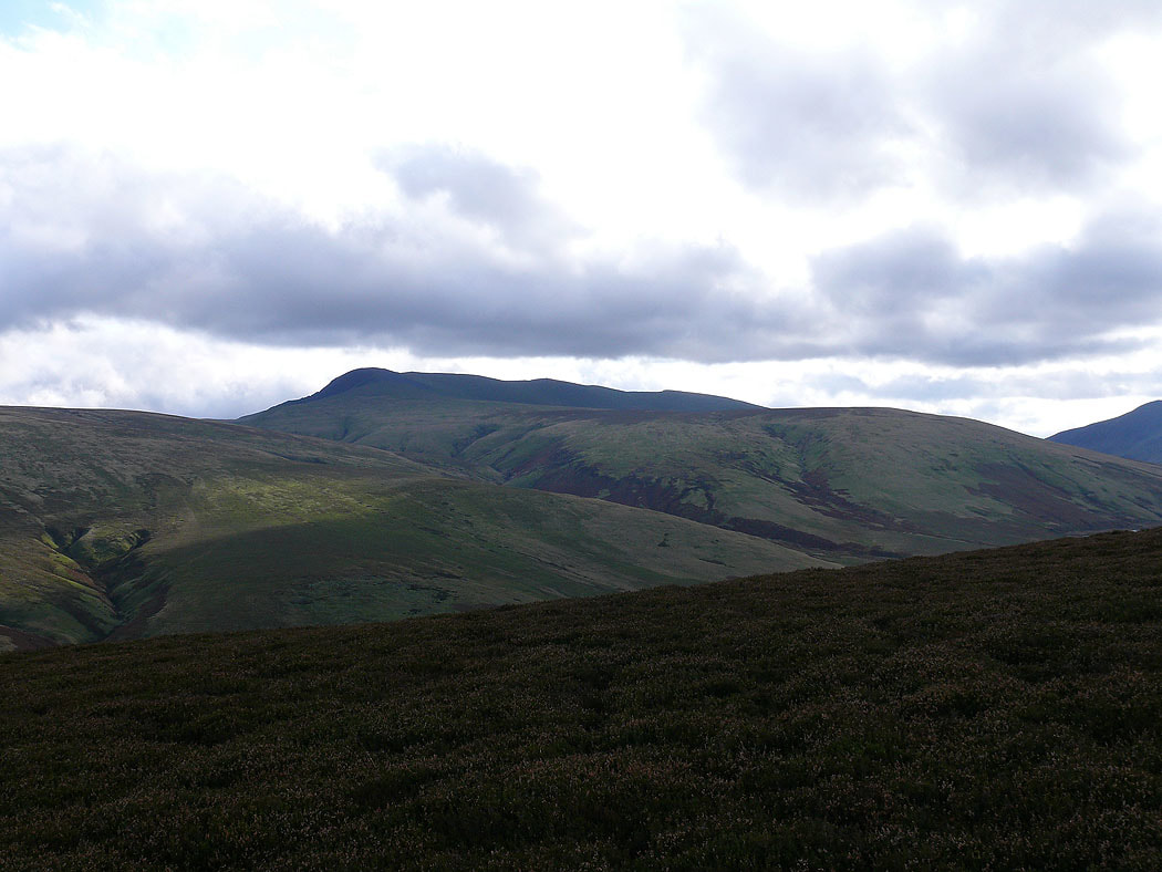
Carrock Fell from Coomb Height
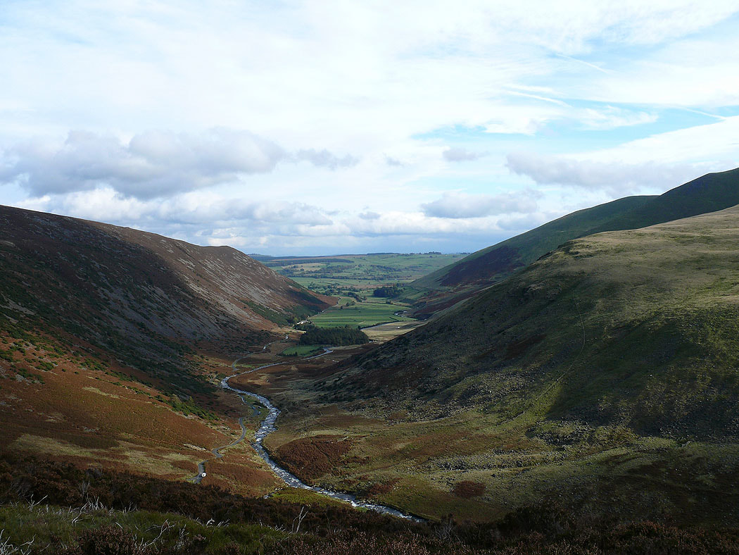
A view up the valley of the Caldew to Lonscale Fell and Skiddaw Little Man
Blencathra and Mungrisdale Common
The final descent of Coomb Height into Mosedale