12th October 2014 - The Dunnerdale Fells
Walk Details
Distance walked: 7.4 miles
Total ascent: 2828 ft
OS map used: OL6 - The English Lakes, Southwestern area
Time taken: 6.5 hrs
Route description: Broughton Mills-Green Bank-Great Stickle-Stickle Pike-Kiln Bank Cross-Park Head Road-Caw-Fox Haw-Raven's Crag-The Knott-Knott End-Broughton Mills
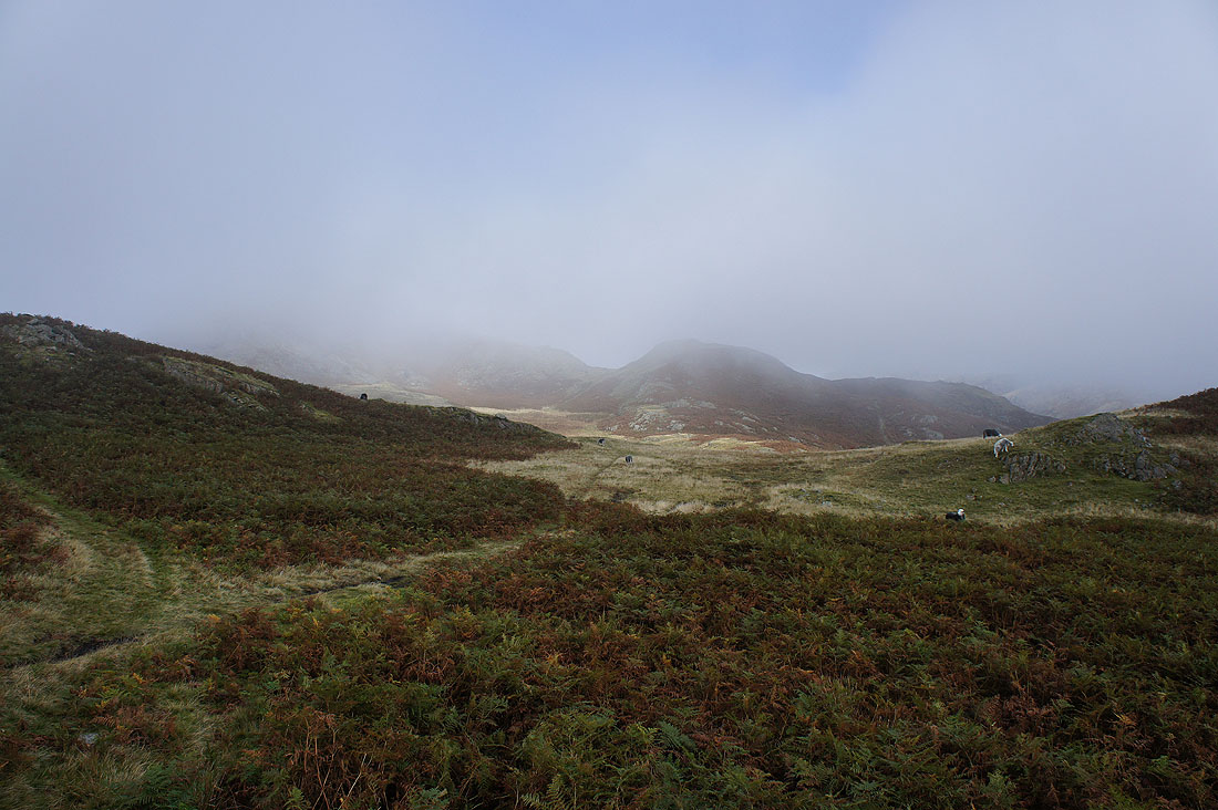
I had my mind set on doing this walk today and when I opened the curtains to dense fog I had my doubts. Whenever I've driven to the Lakes for a walk in Eskdale or Wasdale I've looked at these fells and thought that I must have a walk on them sometime. Any fog was forecast to clear so I set off in hope. The fog came and went as I drove to the Lakes and when I arrived in Broughton Mills it was almost as murky as it was back home. Did it clear? Let's find out.
There's a recently built car park in Broughton Mills opposite the village hall so I took advantage of it and started there. It's free but I donated to the honesty box for the privilege of using it. From the car park I turned right and walked down the road to the public phone box, left over the River Lickle then straight on to the bridleway uphill to Green Bank Farm. I then took the bridleway across to the Duddon valley. When it reached its high point I turned off and made my way to the summit of Great Stickle. Humps and bumps were then navigated to the summit of Stickle Pike. I made my way down to Stickle Tarn and then the road at Kiln Bank Cross. I then took the bridleway of Park Head Road signposted to Seathwaite, when Caw came into view I left the path and climbed to its summit. To head back I made my way down off Caw and onto the ridge past Fox Haw, Raven's Crag and The Knott to Knott End. I then walked down the road to Broughton Mills.
Total ascent: 2828 ft
OS map used: OL6 - The English Lakes, Southwestern area
Time taken: 6.5 hrs
Route description: Broughton Mills-Green Bank-Great Stickle-Stickle Pike-Kiln Bank Cross-Park Head Road-Caw-Fox Haw-Raven's Crag-The Knott-Knott End-Broughton Mills
I had my mind set on doing this walk today and when I opened the curtains to dense fog I had my doubts. Whenever I've driven to the Lakes for a walk in Eskdale or Wasdale I've looked at these fells and thought that I must have a walk on them sometime. Any fog was forecast to clear so I set off in hope. The fog came and went as I drove to the Lakes and when I arrived in Broughton Mills it was almost as murky as it was back home. Did it clear? Let's find out.
There's a recently built car park in Broughton Mills opposite the village hall so I took advantage of it and started there. It's free but I donated to the honesty box for the privilege of using it. From the car park I turned right and walked down the road to the public phone box, left over the River Lickle then straight on to the bridleway uphill to Green Bank Farm. I then took the bridleway across to the Duddon valley. When it reached its high point I turned off and made my way to the summit of Great Stickle. Humps and bumps were then navigated to the summit of Stickle Pike. I made my way down to Stickle Tarn and then the road at Kiln Bank Cross. I then took the bridleway of Park Head Road signposted to Seathwaite, when Caw came into view I left the path and climbed to its summit. To head back I made my way down off Caw and onto the ridge past Fox Haw, Raven's Crag and The Knott to Knott End. I then walked down the road to Broughton Mills.
Route map
© Crown copyright. All rights reserved. License number PU 100034184.
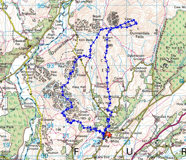
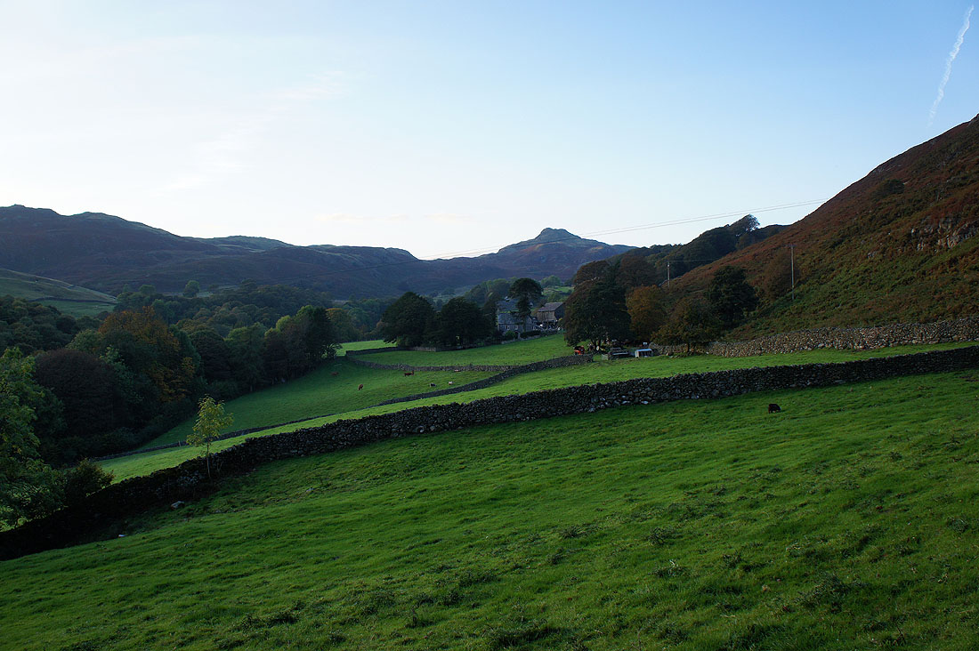
Leaving Broughton Mills behind and on the lane to Green Bank
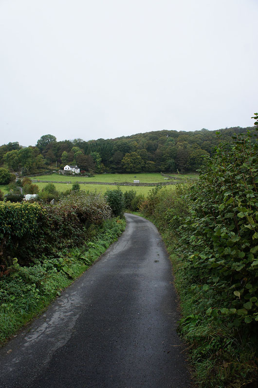
A very murky Lickle valley. I hope the forecast is right and it brightens up.
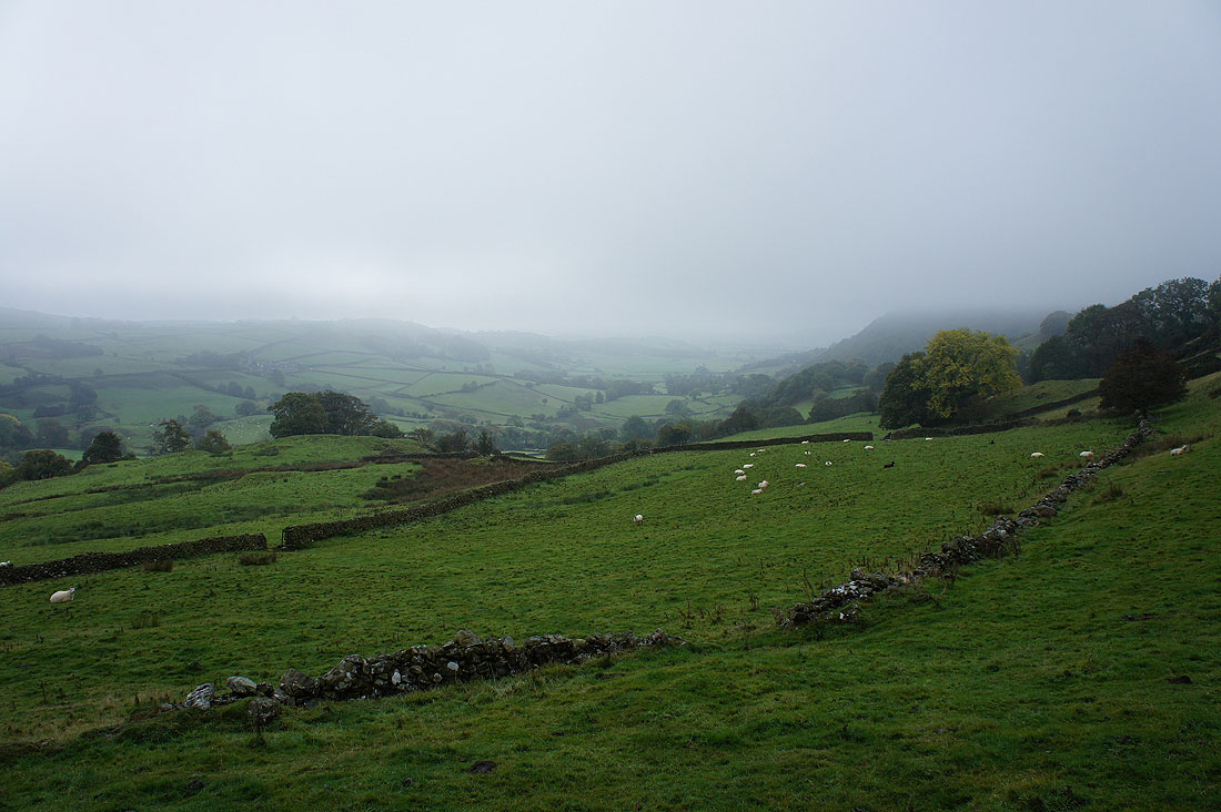
On the summit of Great Stickle. Nothing to see. There are hints of blue sky through the top of the fog however.
Navigating my way through the hummocks to Stickle Pike
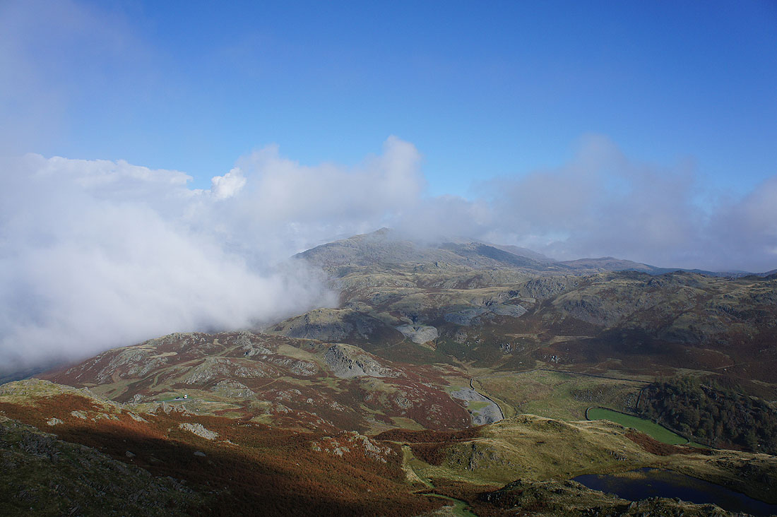
Hooray! Sat having my lunch on Stickle Pike and the fog clears. I probably would have changed my planned route if it hadn't.
The fog clears from the Duddon valley
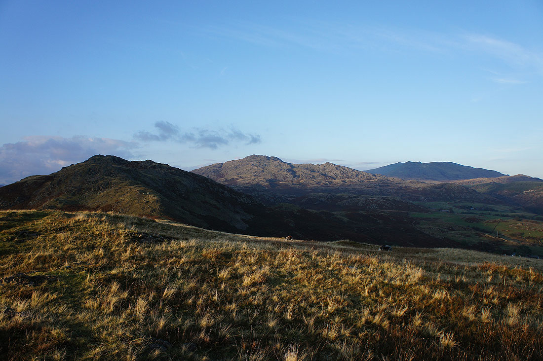
Buck Barrow, Whitfell, The Pike and Hesk Fell
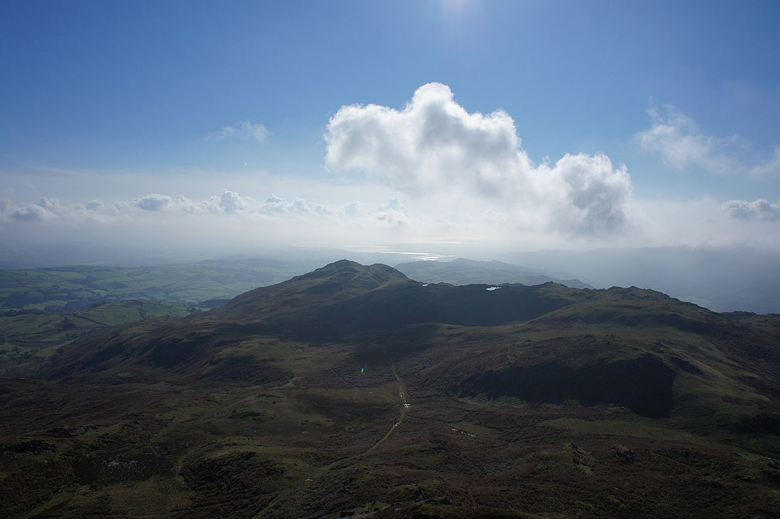
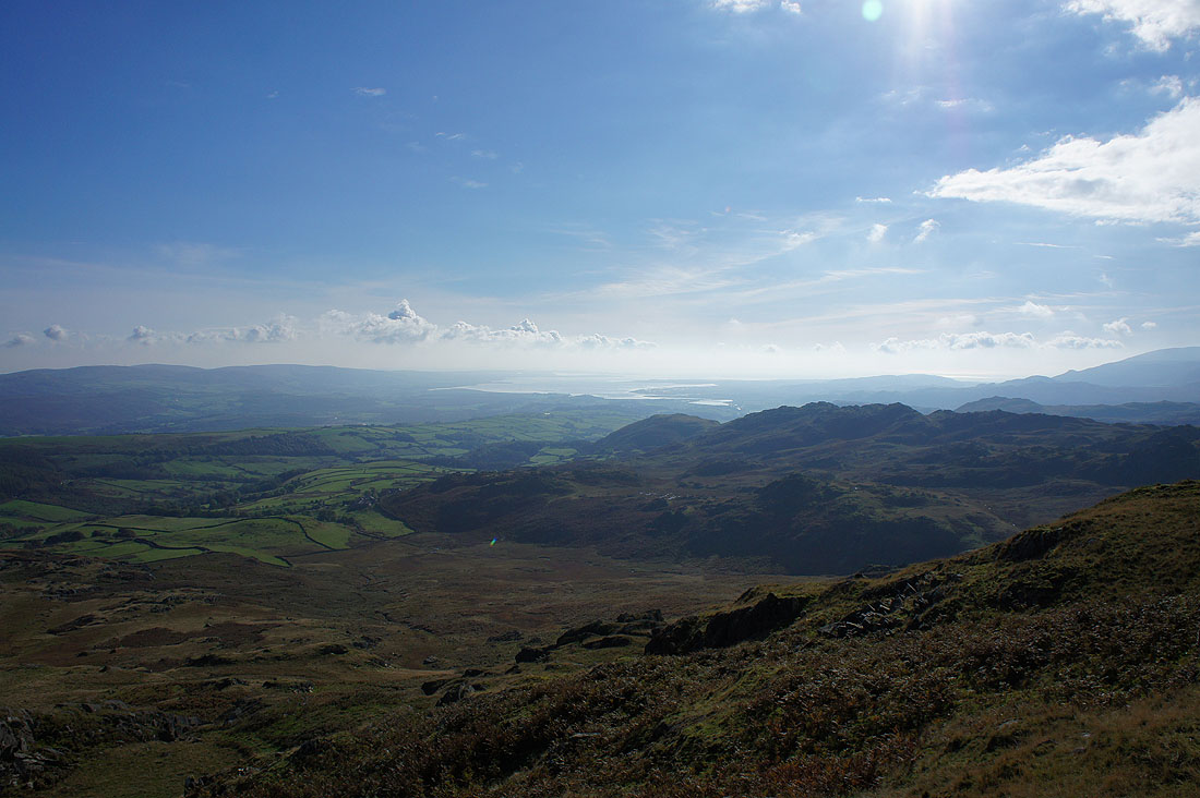
Looking south to Great Stickle and beyond to the Duddon estuary
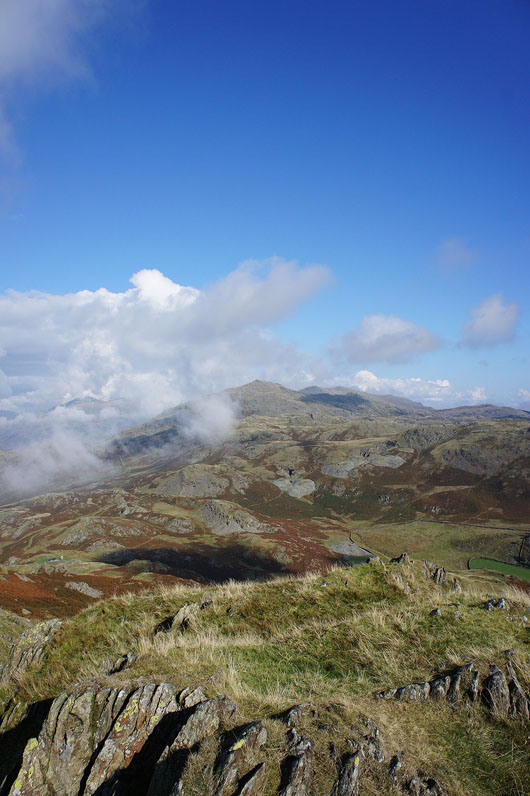
The cloud swirls around Caw
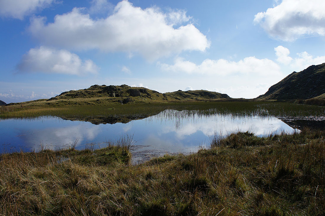
By the shores of Stickle Tarn
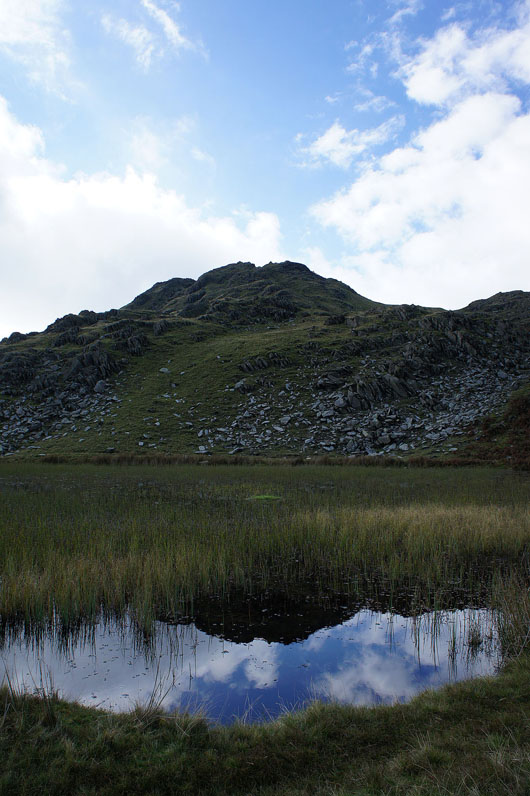
Stickle Pike above
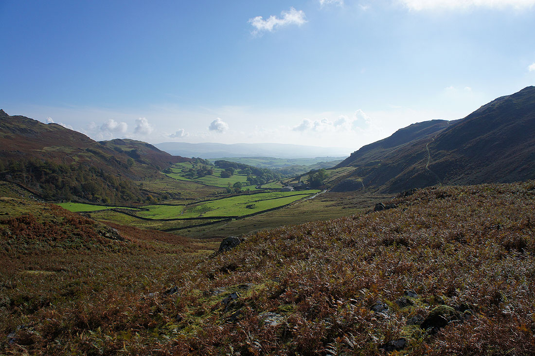
Heading for Caw and I pass the top of the valley of Dunnerdale Beck
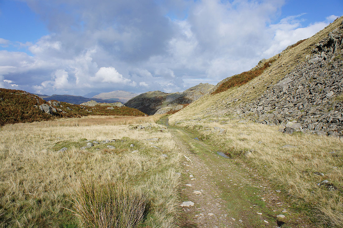
Onto the path of Park Head Road
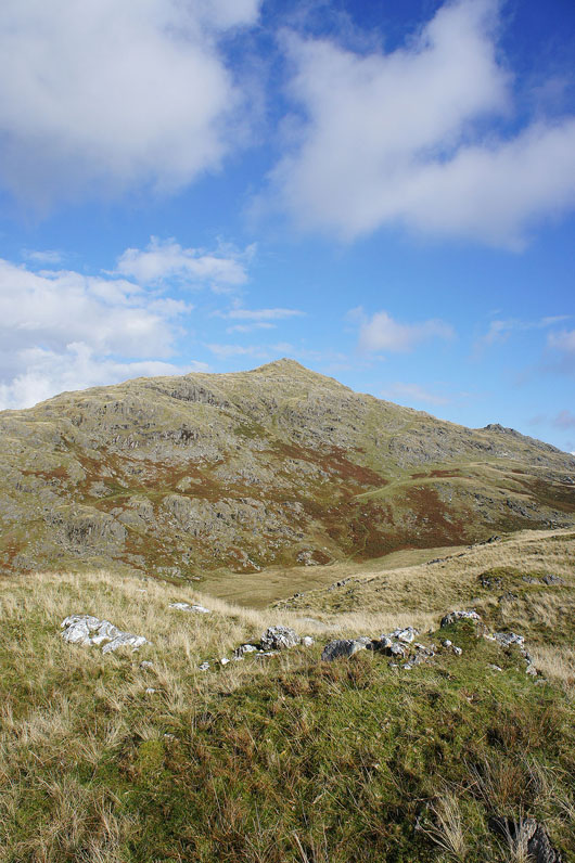
Caw. Hmm, what's the best way up? In the end I took a traversing route across to the right and then up.
and from the same spot I can see around the side of Caw to Harter Fell and beyond
A couple of shots as I head up Caw. The Duddon estuary.
and looking across to the Blawith Fells
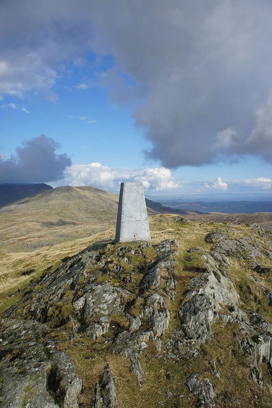
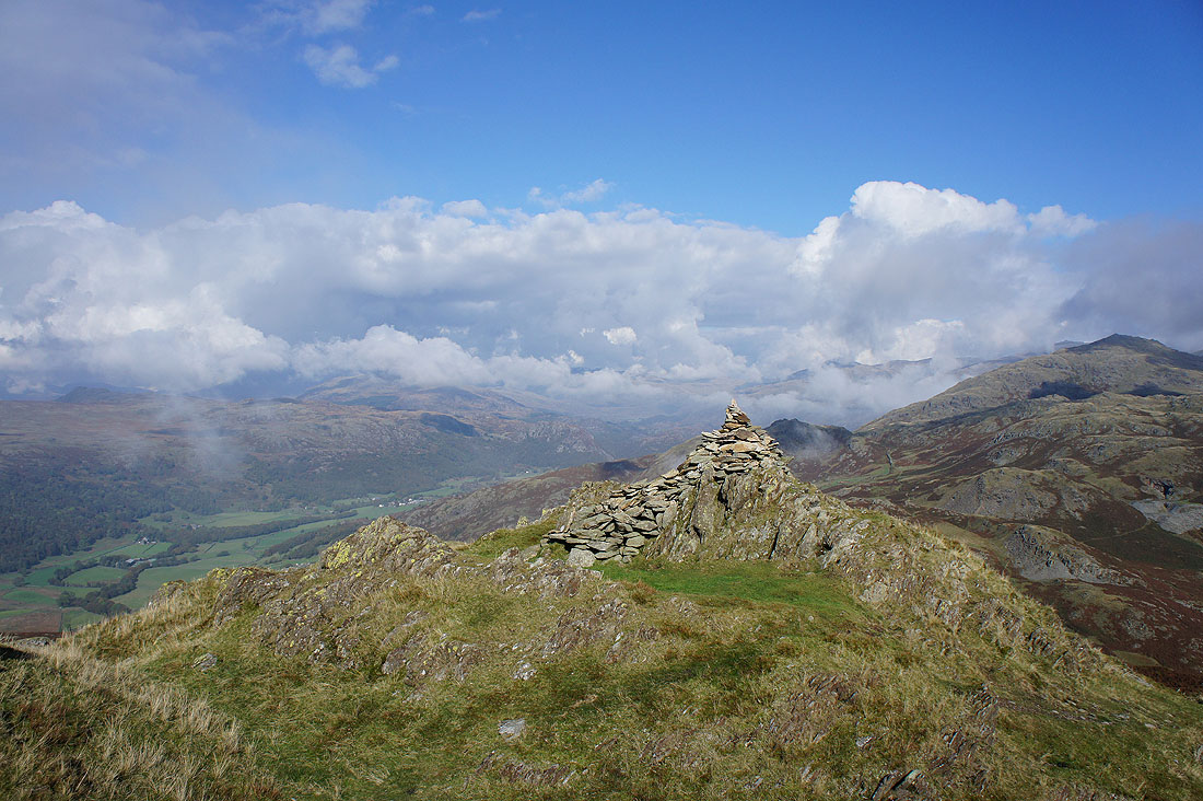
Finally on the summit of Caw
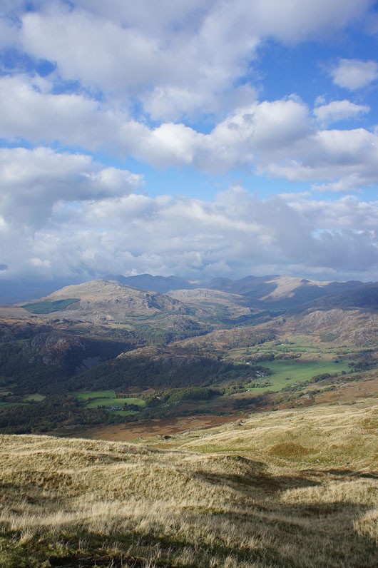
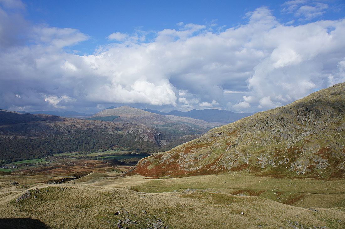
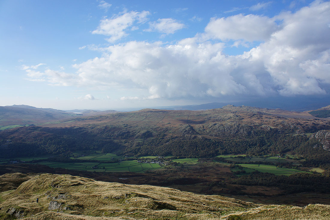
There's a great view from up here, especially looking up the Duddon valley. I couldn't decide whether it looked better in portrait or landscape so I'll show both.
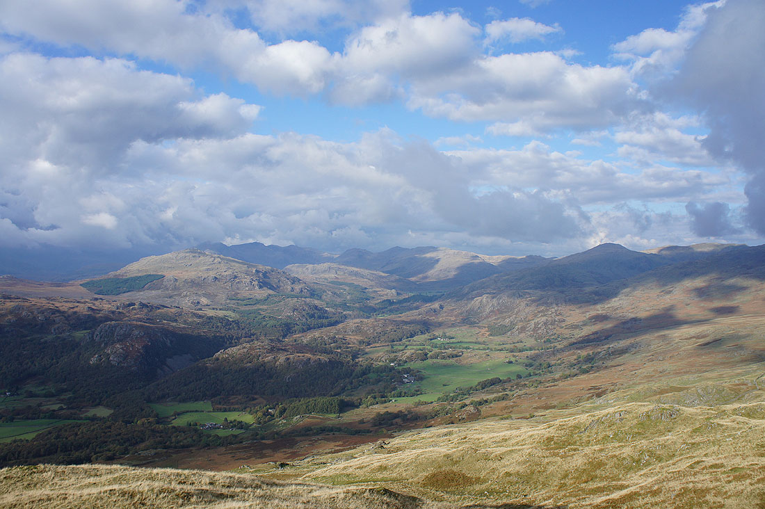
Great Worm Crag and Green Crag on the other side of the Duddon valley
Black Combe, Buck Barrow and Whitfell
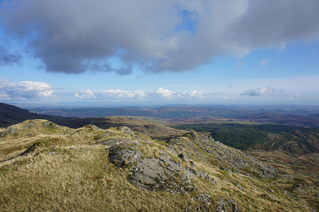
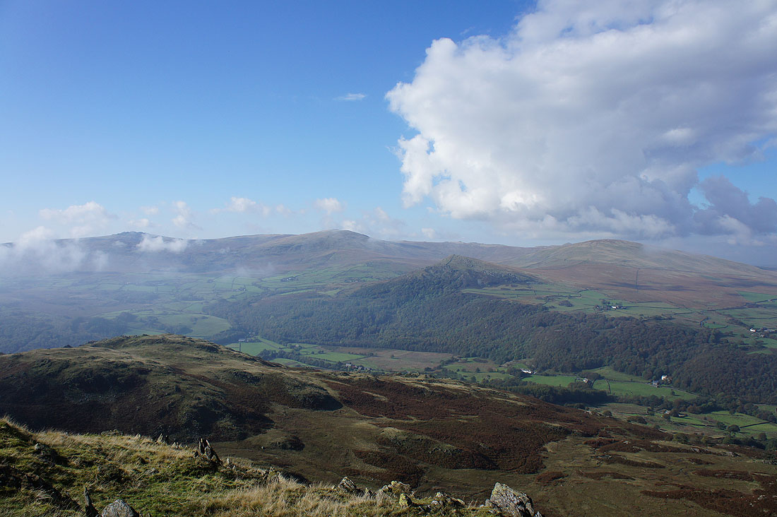
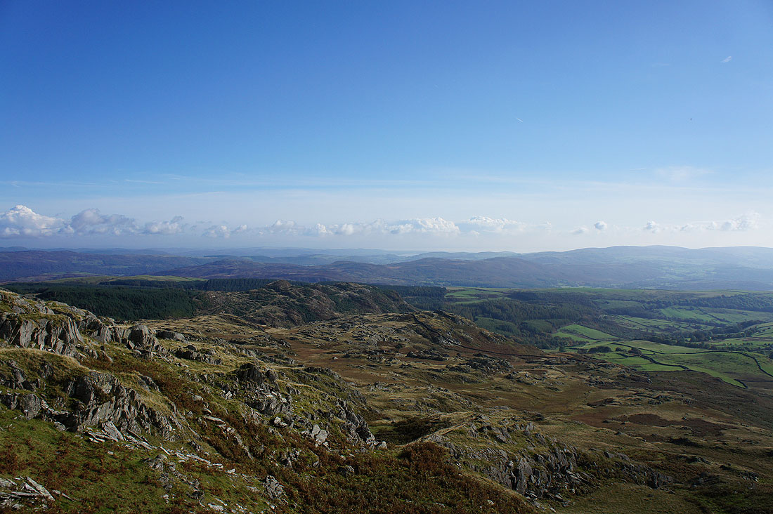
A long distance view across the fells between Coniston Water and Windermere to the Howgills and the fells of the Yorkshire Dales
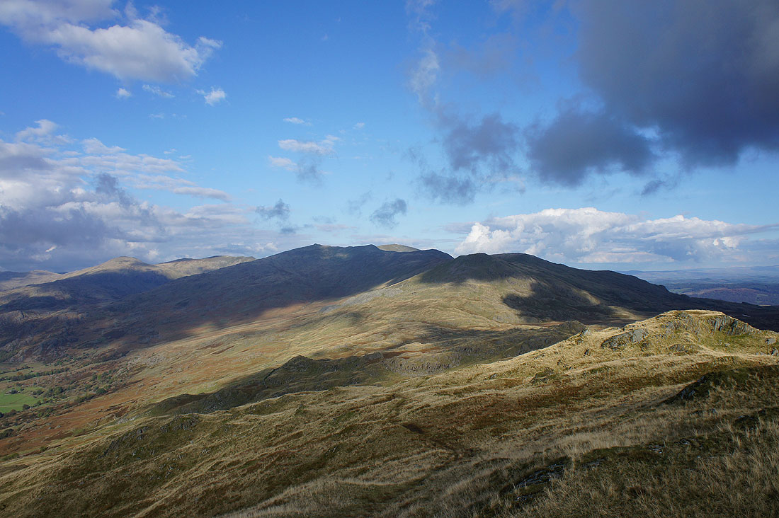
The Dow Crag ridge with the top of Coniston Old Man in sunshine between Buck Pike and Brown Pike
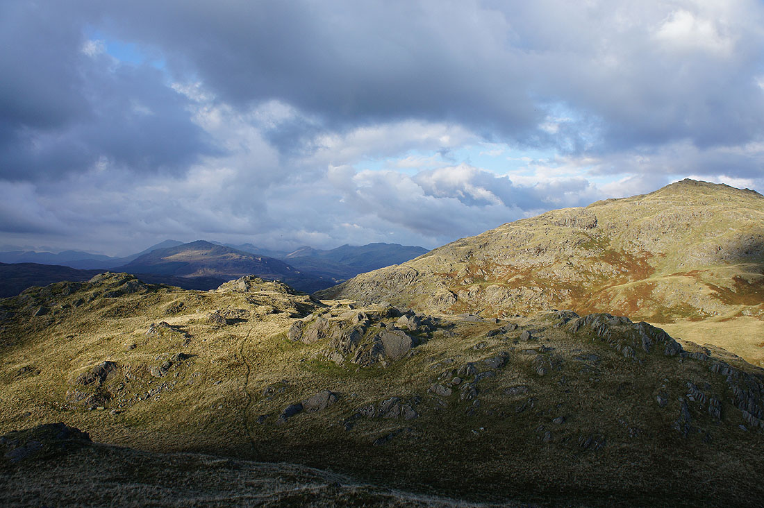
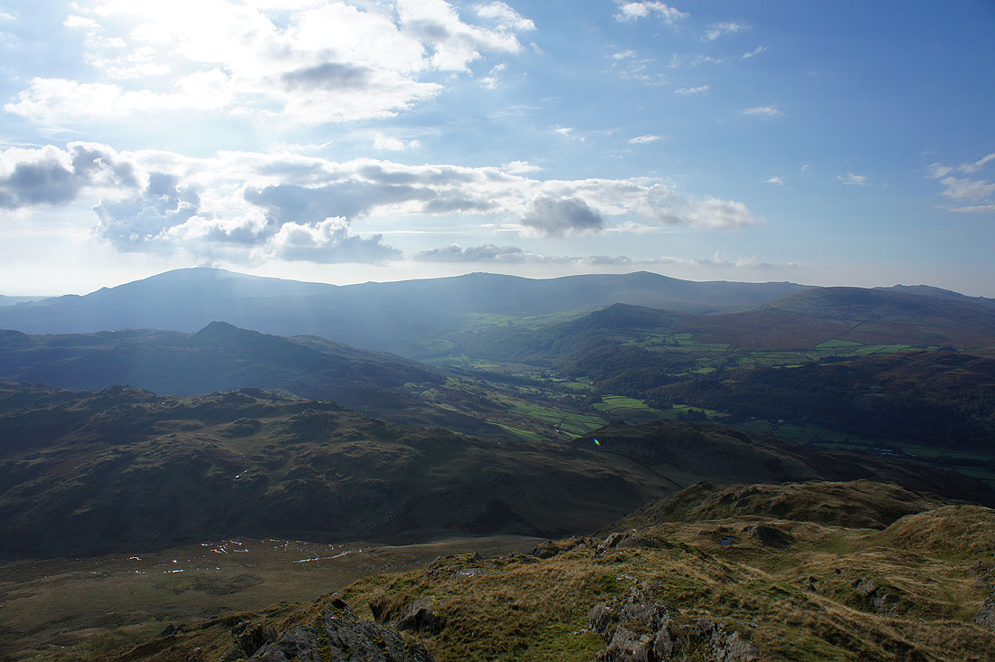
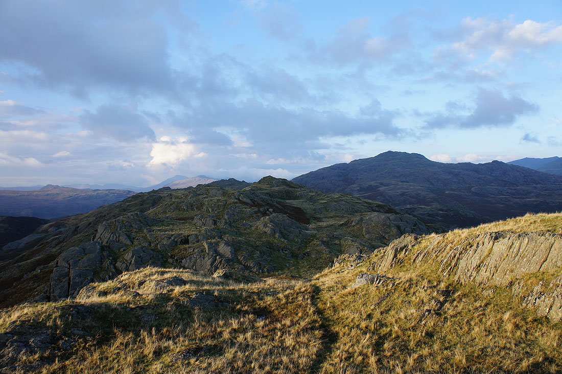
Heading back and I've stopped briefly on Fox Haw. Looking back with Caw on the right, Harter Fell in the distance on the left.
The way ahead across a lot of humps and bumps to Raven's Crag
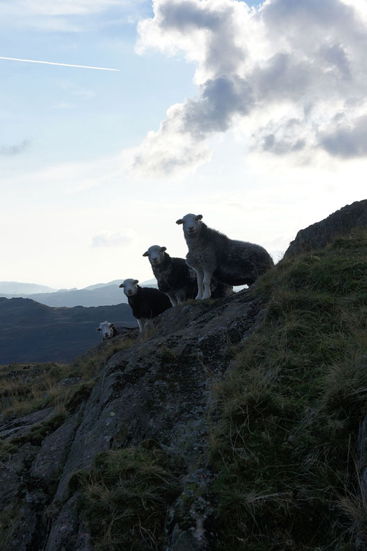
I must be a rare sight in these parts to attract so much attention
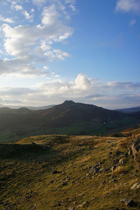
On the top of Raven's Crag looking back to Fox Haw and Caw
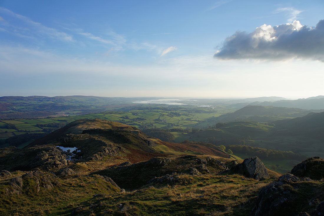
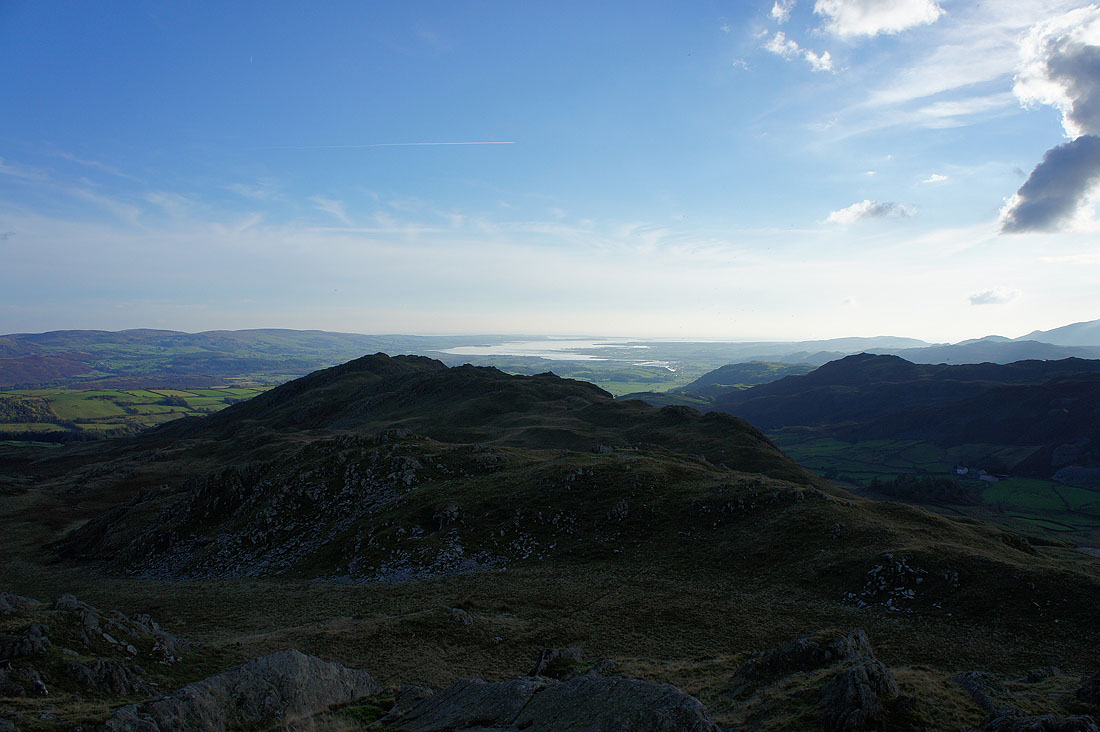
The ridge ends ahead at The Knott. I'll have a great view of the Duddon estuary from it.
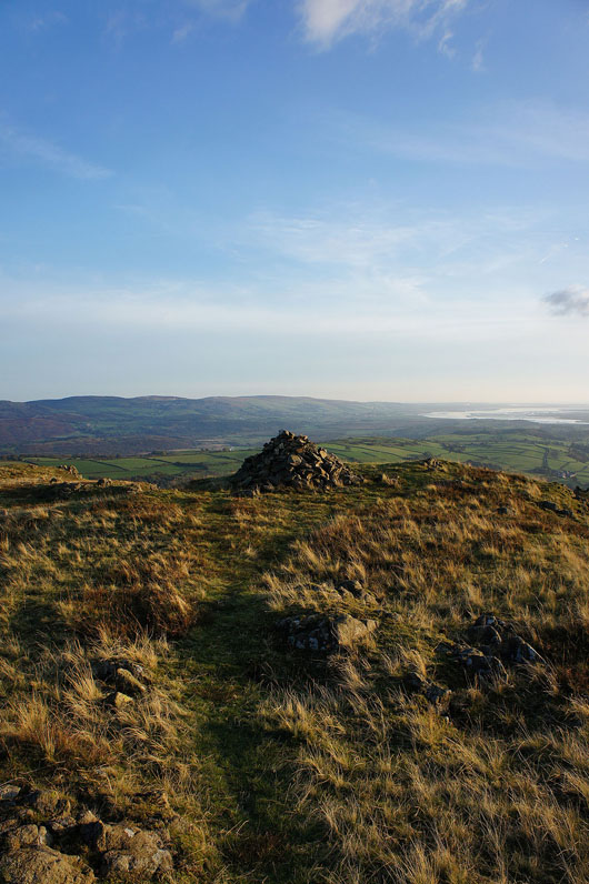
Approaching the cairn on The Knott
Stickle Pike
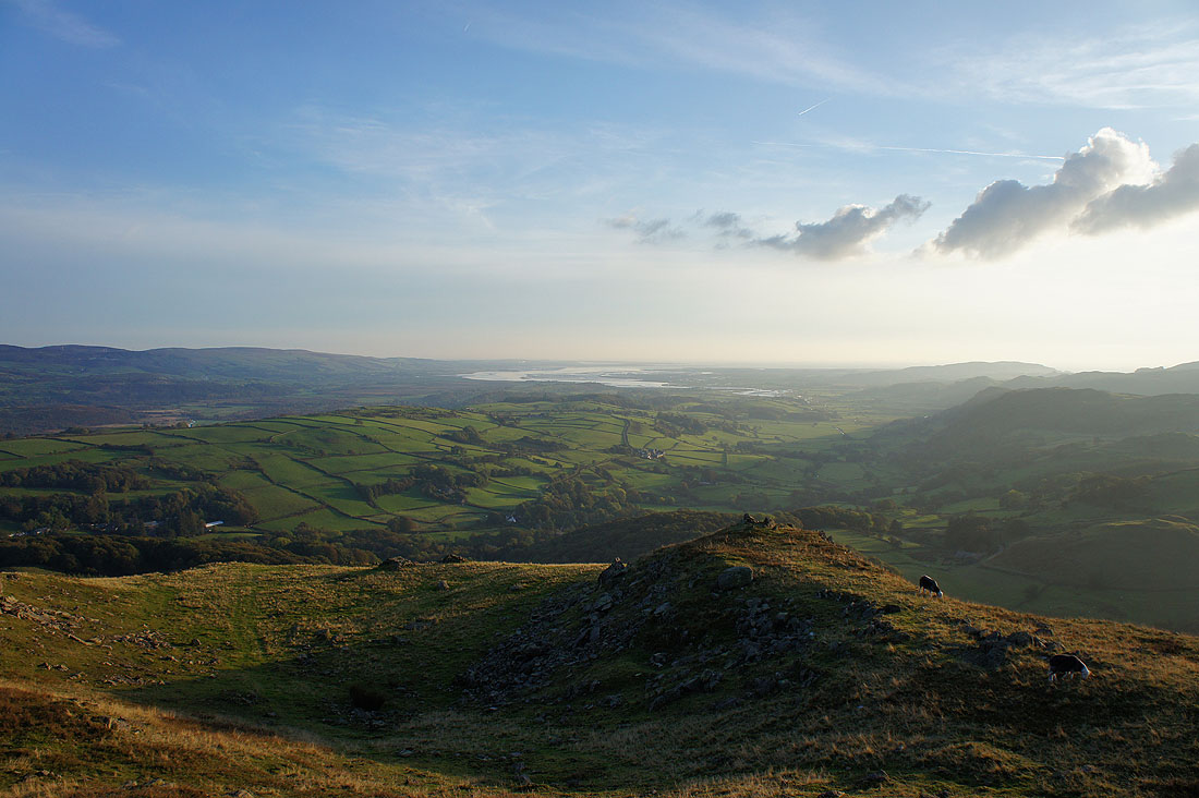
The Duddon estuary with the Lickle valley below
Raven's Crag and Caw, which looks quite rugged lit up by the low sun
Stickle Pike as follow the road down to Broughton Mills