12th October 2019 - Brimham Rocks and Guise Cliff
Walk Details
Distance walked: 12.0 miles
Total ascent: 2055 ft
OS map used: 298 - Nidderdale
Time taken: 7 hrs
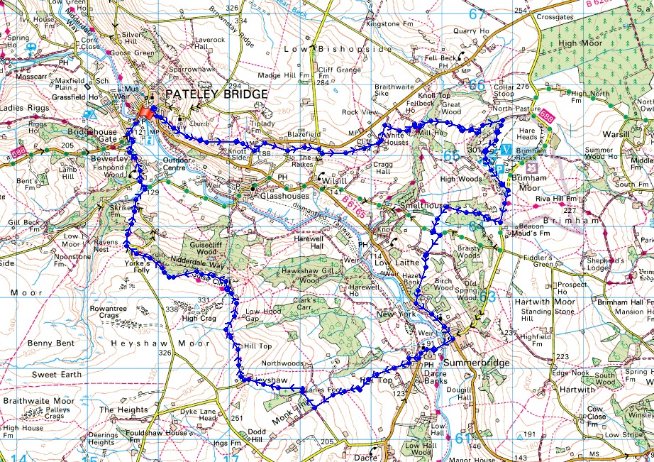
Route description: Bridgehouse Gate-Pateley Bridge-High Street-Nidderdale Way-Blazefield-Nidderdale Way-White Houses-Fell Beck-High North Pasture Farm-Brimham Rocks-Brimham Moor-Nidderdale Way-Braisty Woods Farm-Summerbridge-Dacre Banks-Nidderdale Way-Heyshaw-Nidderdale Way-Guise Cliff-Nidderdale Way-Nought Bank Road-Nidderdale Way-Bewerley-Bridgehouse Gate
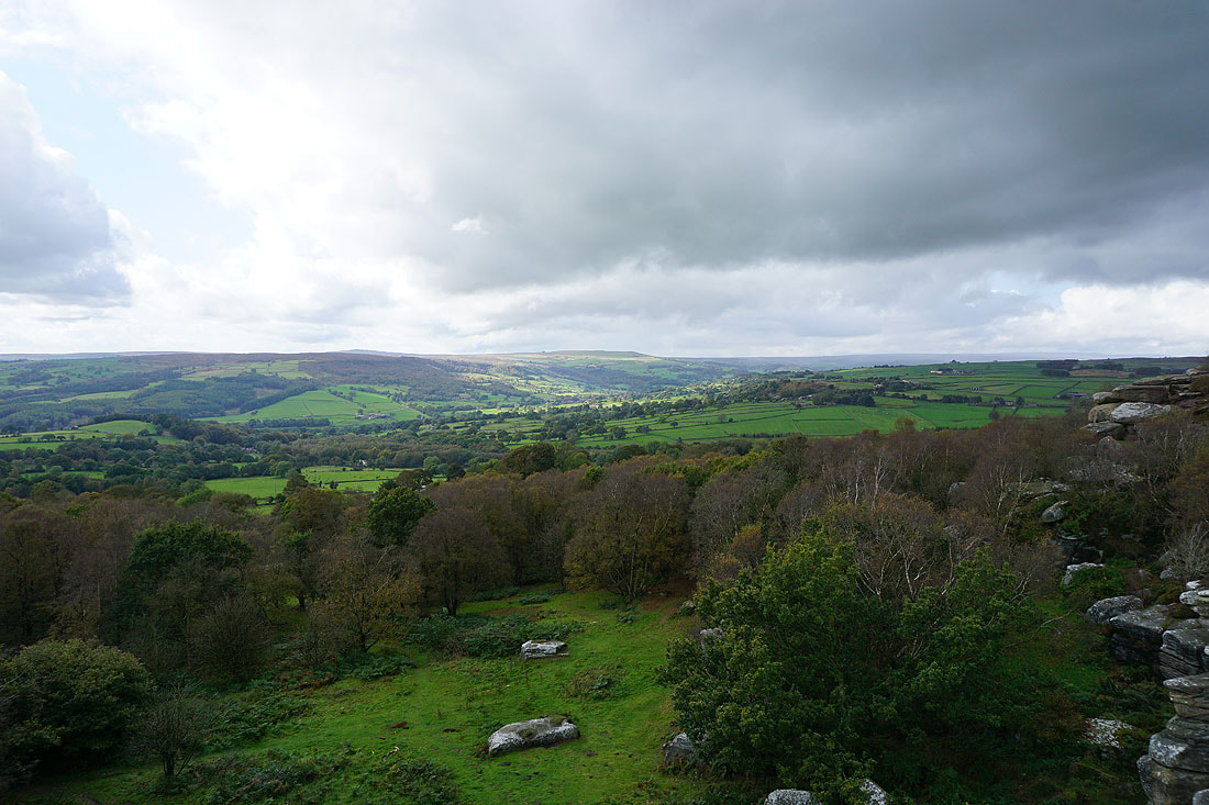
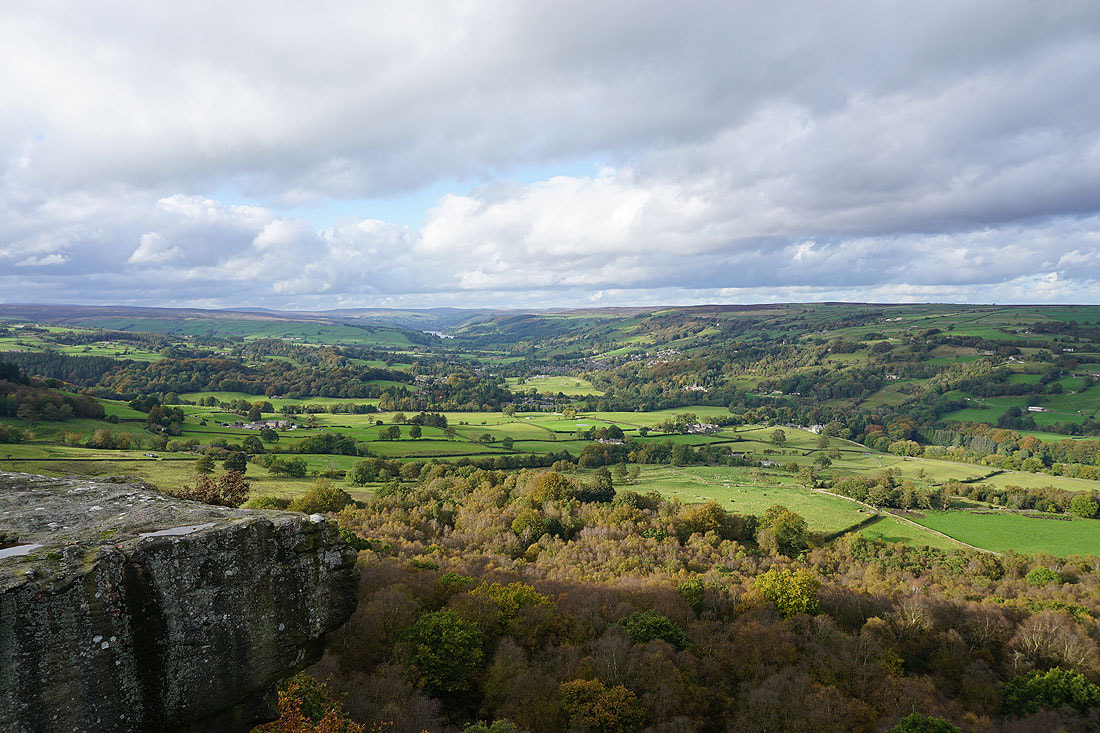
Since my first visit to Nidderdale back in April I knew that it would only be a matter of time before I got around to seeing the dale's main attraction, Brimham Rocks. It's a justifiably popular location, a natural adventure playground; and with a car park, visitor centre and refreshment kiosk among the facilities, it can be very busy. The route that I wanted to do had to be a full day's outing and although I could have parked at Brimham Rocks for free, being a National Trust member, I preferred to walk to Brimham Rocks as I destination. So, starting from Bridgehouse Gate (on the other side of the Nidd from Pateley Bridge), I had to work out how to get back there from Brimham Rocks. After a bit of map work I decided on going via Summerbridge and Guise Cliff. In fact, although I did enjoy visiting Brimham Rocks, the highlight of the day was the view from Guise Cliff. I timed my arrival there with the best weather of the day. The forecast was for a day of improving weather, and I set off from Bridgehouse Gate under grey skies with the cloud sitting on the high fells. During the afternoon the cloud broke up to give some warm, autumnal sunshine, which resulted in those great views from Guise Cliff.
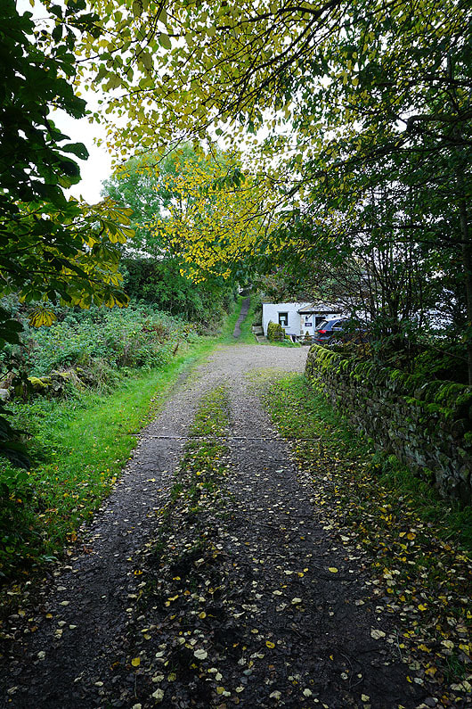
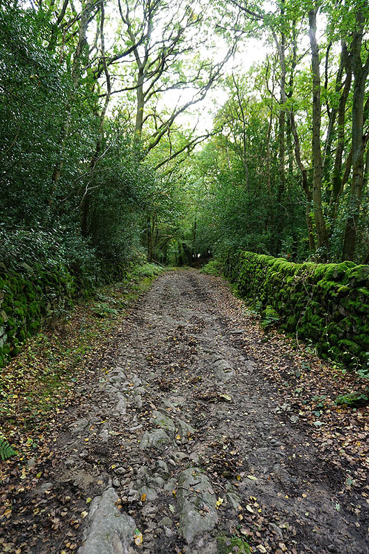
From the car park in Bridgehouse Gate I crossed the bridge into Pateley Bridge, walked up the High Street, round the right hand bend at the top of the hill, and took the footpath on the left signposted as "Panorama Walk", which is part of the Nidderdale Way. I then followed the Nidderdale Way east down the dale, through Blazefield and White Houses, and down to Fell Beck below Brimham Moor. The trail was left here for a footpath up through woodland and across fields to High North Pasture Farm and a track on the north side of Brimham Moor. I wasn't on the track for long and when I reached access land I took a path up onto Brimham Rocks, where I paid a visit to the trig point and stopped for lunch at one of the picnic tables. After lunch I made my way south through Brimham Rocks, out to the road across Brimham Moor, and then walked south along the road to pick up the Nidderdale Way on the right. I followed the trail west through High Wood, then took a path on the left across a couple of fields to reach the road to Smelthouses. I turned left and walked along the road to a bridleway on the right, which took me south past Braisty Woods Farm and down to the B6165, which I followed into the village of Summerbridge. When I reached the T-junction in the centre of Summerbridge I turned right and walked down the B6451 across the River Nidd and into Dacre Banks, where I joined the Nidderdale Way again. I followed the trail up through fields to Monk Ing Road, then along Lanes Foot and up through fields to the hamlet of Heyshaw. From Heyshaw I kept on the Nidderdale Way as it made its way north, passing Hill Top and High Hood Gap, to reach Guise Cliff. After spending a bit of time taking in the views I carried on following the Nidderdale Way to Nought Bank Road, across Nought Moor, down through Skrikes Wood, and then down the road to the village of Bewerley. I left the trail behind in Bewerley for the walk along the road back to Bridgehouse Gate.
Total ascent: 2055 ft
OS map used: 298 - Nidderdale
Time taken: 7 hrs
Route description: Bridgehouse Gate-Pateley Bridge-High Street-Nidderdale Way-Blazefield-Nidderdale Way-White Houses-Fell Beck-High North Pasture Farm-Brimham Rocks-Brimham Moor-Nidderdale Way-Braisty Woods Farm-Summerbridge-Dacre Banks-Nidderdale Way-Heyshaw-Nidderdale Way-Guise Cliff-Nidderdale Way-Nought Bank Road-Nidderdale Way-Bewerley-Bridgehouse Gate
Since my first visit to Nidderdale back in April I knew that it would only be a matter of time before I got around to seeing the dale's main attraction, Brimham Rocks. It's a justifiably popular location, a natural adventure playground; and with a car park, visitor centre and refreshment kiosk among the facilities, it can be very busy. The route that I wanted to do had to be a full day's outing and although I could have parked at Brimham Rocks for free, being a National Trust member, I preferred to walk to Brimham Rocks as I destination. So, starting from Bridgehouse Gate (on the other side of the Nidd from Pateley Bridge), I had to work out how to get back there from Brimham Rocks. After a bit of map work I decided on going via Summerbridge and Guise Cliff. In fact, although I did enjoy visiting Brimham Rocks, the highlight of the day was the view from Guise Cliff. I timed my arrival there with the best weather of the day. The forecast was for a day of improving weather, and I set off from Bridgehouse Gate under grey skies with the cloud sitting on the high fells. During the afternoon the cloud broke up to give some warm, autumnal sunshine, which resulted in those great views from Guise Cliff.
From the car park in Bridgehouse Gate I crossed the bridge into Pateley Bridge, walked up the High Street, round the right hand bend at the top of the hill, and took the footpath on the left signposted as "Panorama Walk", which is part of the Nidderdale Way. I then followed the Nidderdale Way east down the dale, through Blazefield and White Houses, and down to Fell Beck below Brimham Moor. The trail was left here for a footpath up through woodland and across fields to High North Pasture Farm and a track on the north side of Brimham Moor. I wasn't on the track for long and when I reached access land I took a path up onto Brimham Rocks, where I paid a visit to the trig point and stopped for lunch at one of the picnic tables. After lunch I made my way south through Brimham Rocks, out to the road across Brimham Moor, and then walked south along the road to pick up the Nidderdale Way on the right. I followed the trail west through High Wood, then took a path on the left across a couple of fields to reach the road to Smelthouses. I turned left and walked along the road to a bridleway on the right, which took me south past Braisty Woods Farm and down to the B6165, which I followed into the village of Summerbridge. When I reached the T-junction in the centre of Summerbridge I turned right and walked down the B6451 across the River Nidd and into Dacre Banks, where I joined the Nidderdale Way again. I followed the trail up through fields to Monk Ing Road, then along Lanes Foot and up through fields to the hamlet of Heyshaw. From Heyshaw I kept on the Nidderdale Way as it made its way north, passing Hill Top and High Hood Gap, to reach Guise Cliff. After spending a bit of time taking in the views I carried on following the Nidderdale Way to Nought Bank Road, across Nought Moor, down through Skrikes Wood, and then down the road to the village of Bewerley. I left the trail behind in Bewerley for the walk along the road back to Bridgehouse Gate.
Route map
© Crown copyright. All rights reserved. License number PU 100034184.
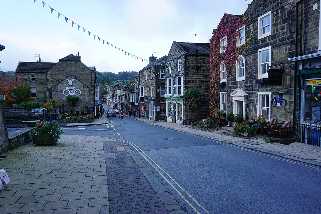
Looking back down the High Street in Pateley Bridge
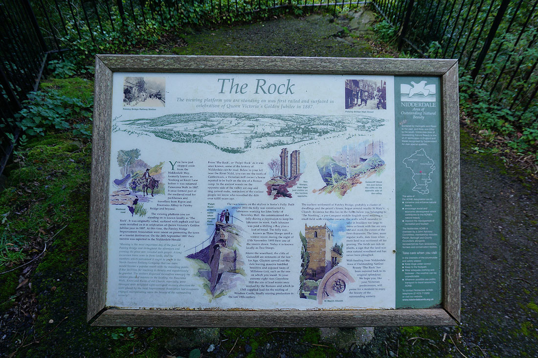
The viewing platform of "The Rock" is to one side of the "Panorama Walk", which is part of the Nidderdale Way
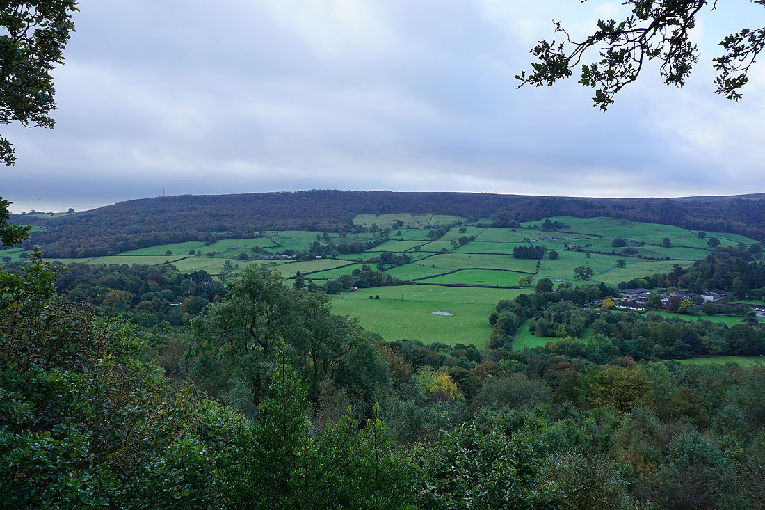
It has a pretty good view from it across to Guise Cliff on the other side of Nidderdale
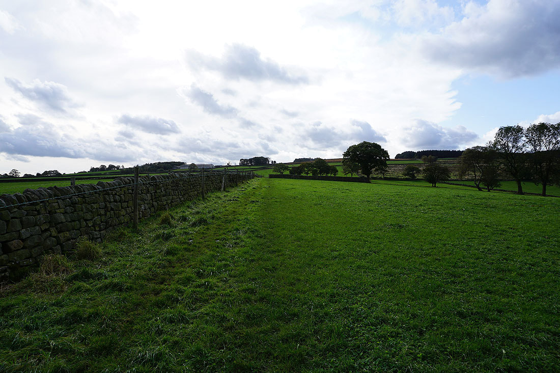
Following the Nidderdale Way
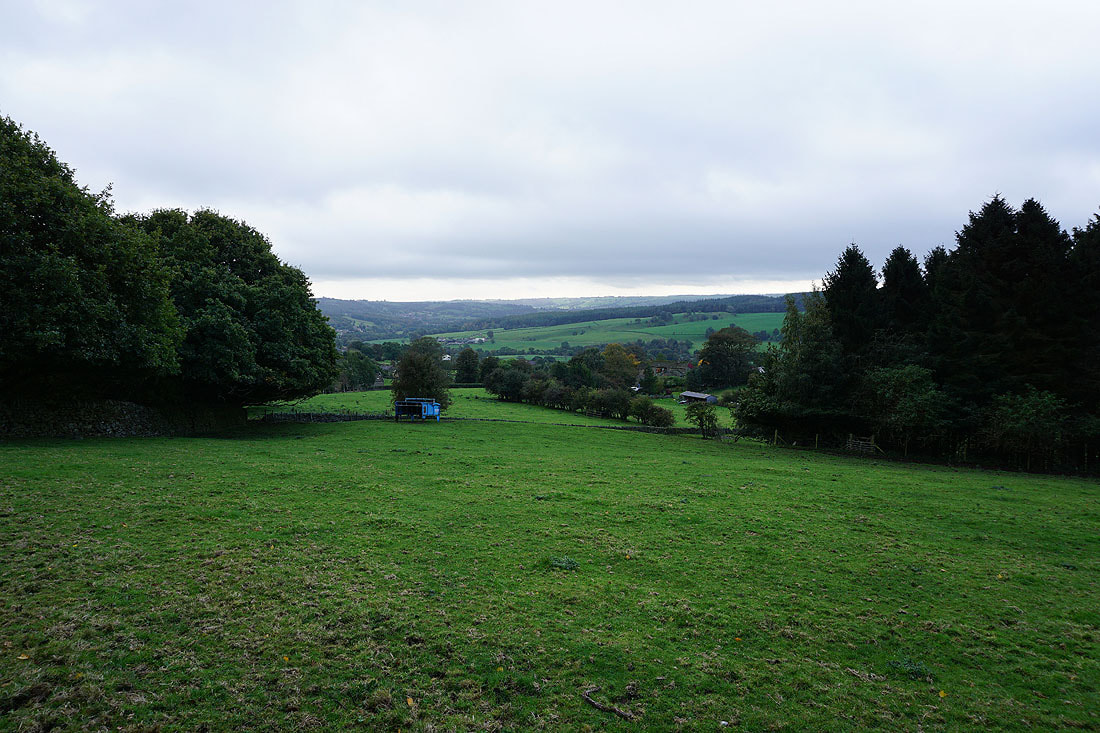
A view down Nidderdale
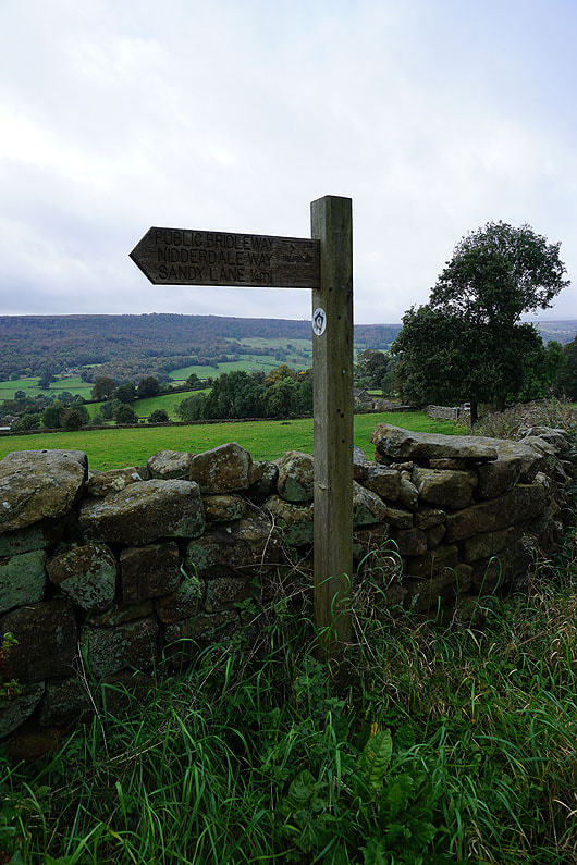
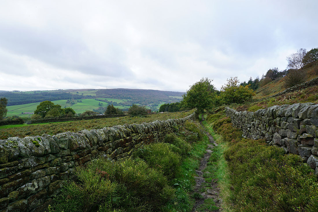
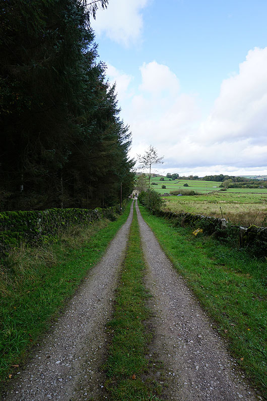
The trial is well signposted
Guise Cliff and..
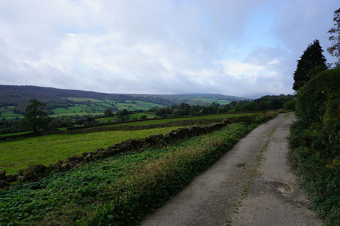
..looking up the dale to the moorland around Ashfold Side as I pass Blazefield
A little further on and the appearance of the sun really improves the view across the dale to Guise Cliff
On the Nidderdale Way to White Houses
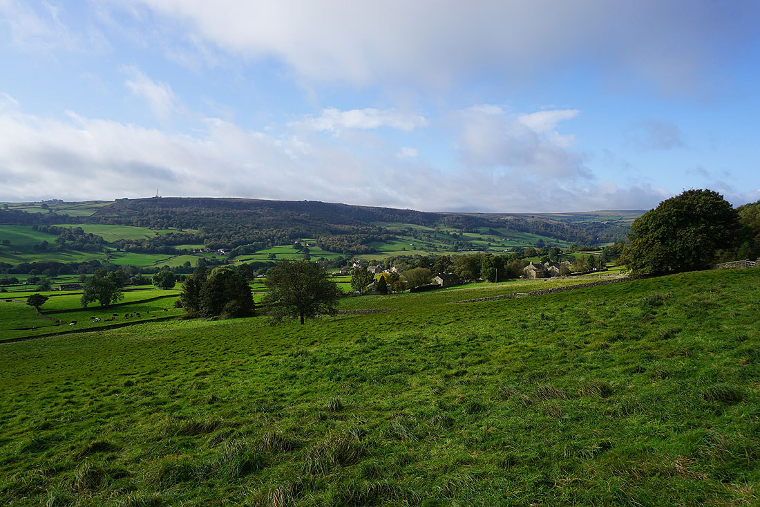
Looking down Nidderdale
Guise Cliff in the distance as I reach White Houses
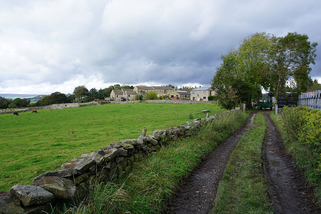
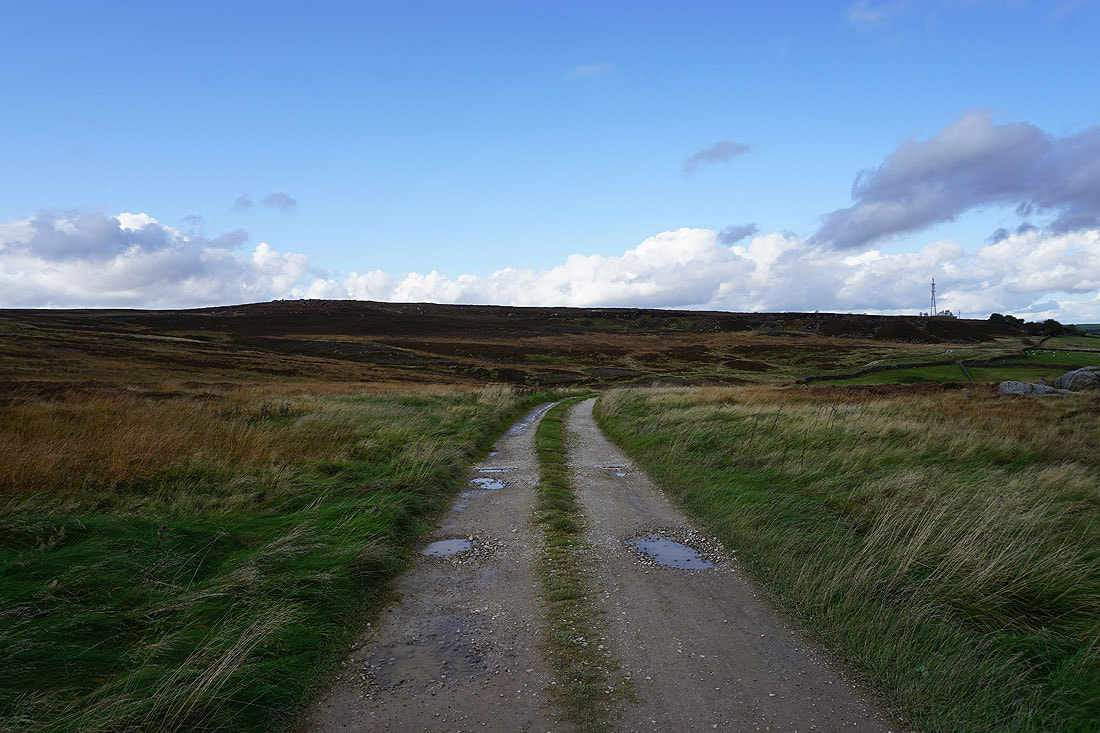
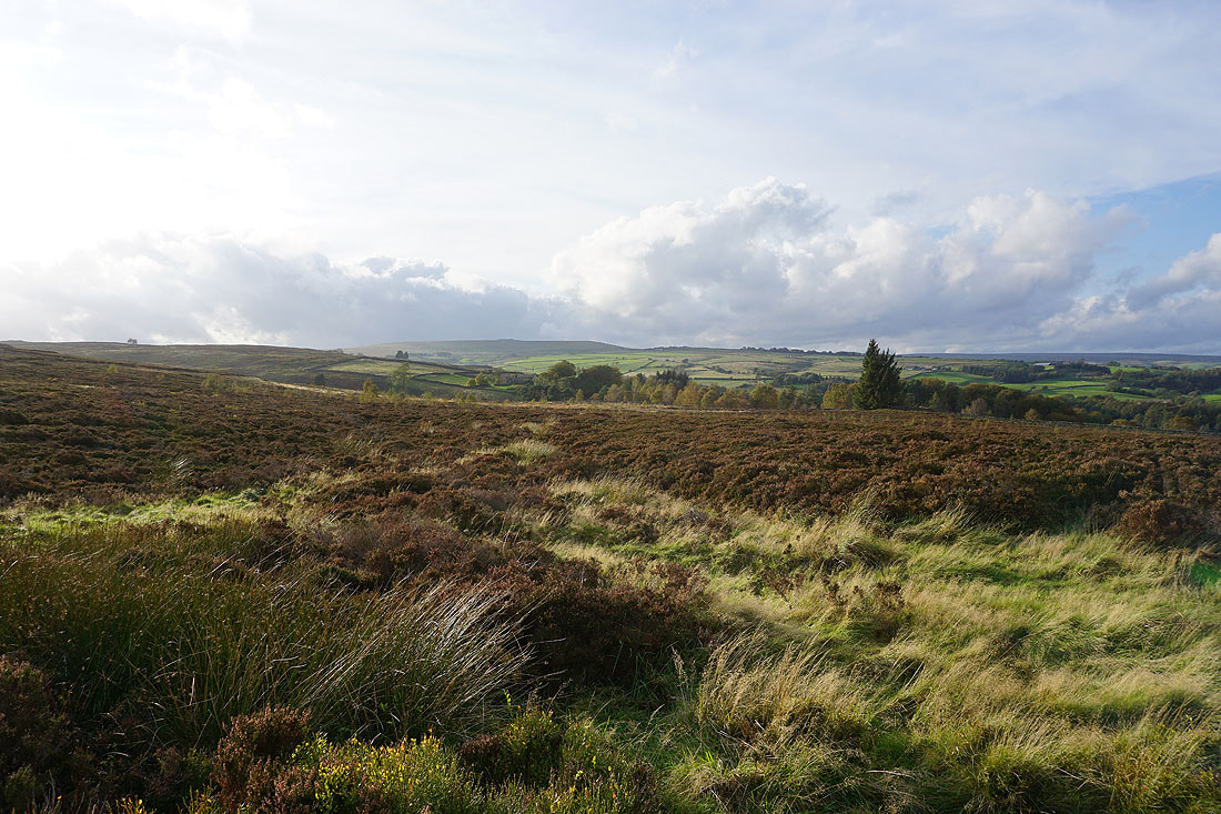
Brimham Moor in front of me as I head down to cross Fell Beck
After crossing Fell Beck I followed a path up to a track on the northern edge of Brimham Moor
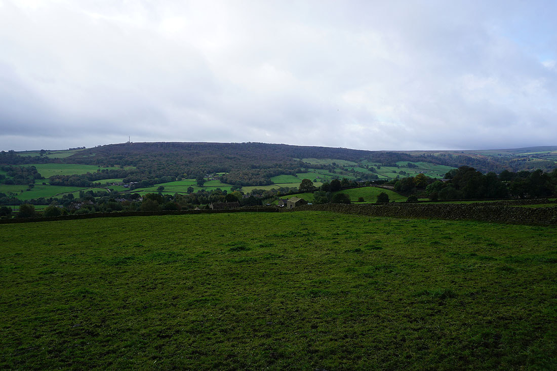
and a short time later I'm on the northern end of Brimham Rocks with a view up Nidderdale to Bewerley Moor and Heathfield Moor
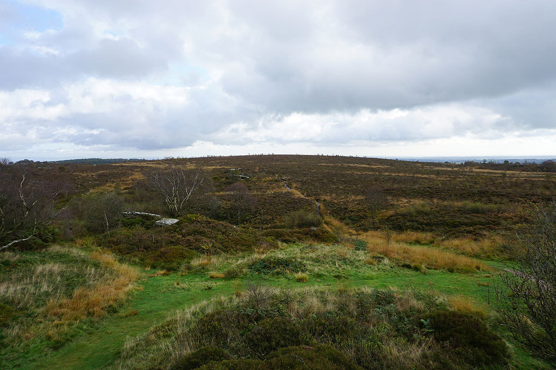
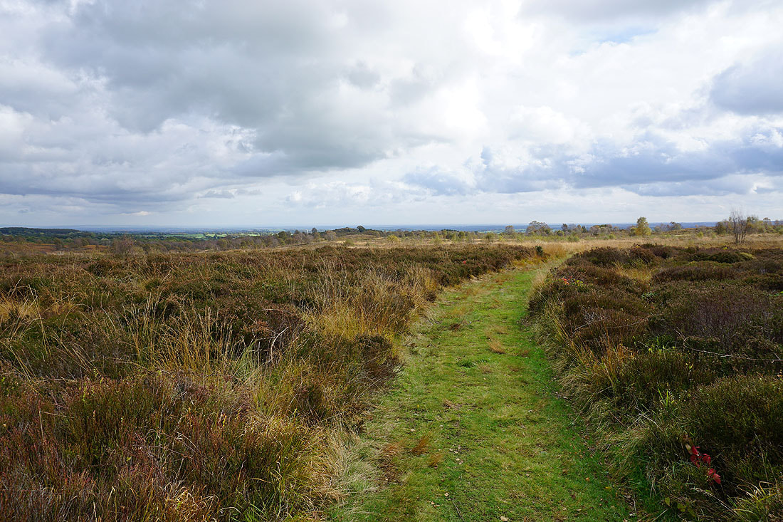
Brimham Moor
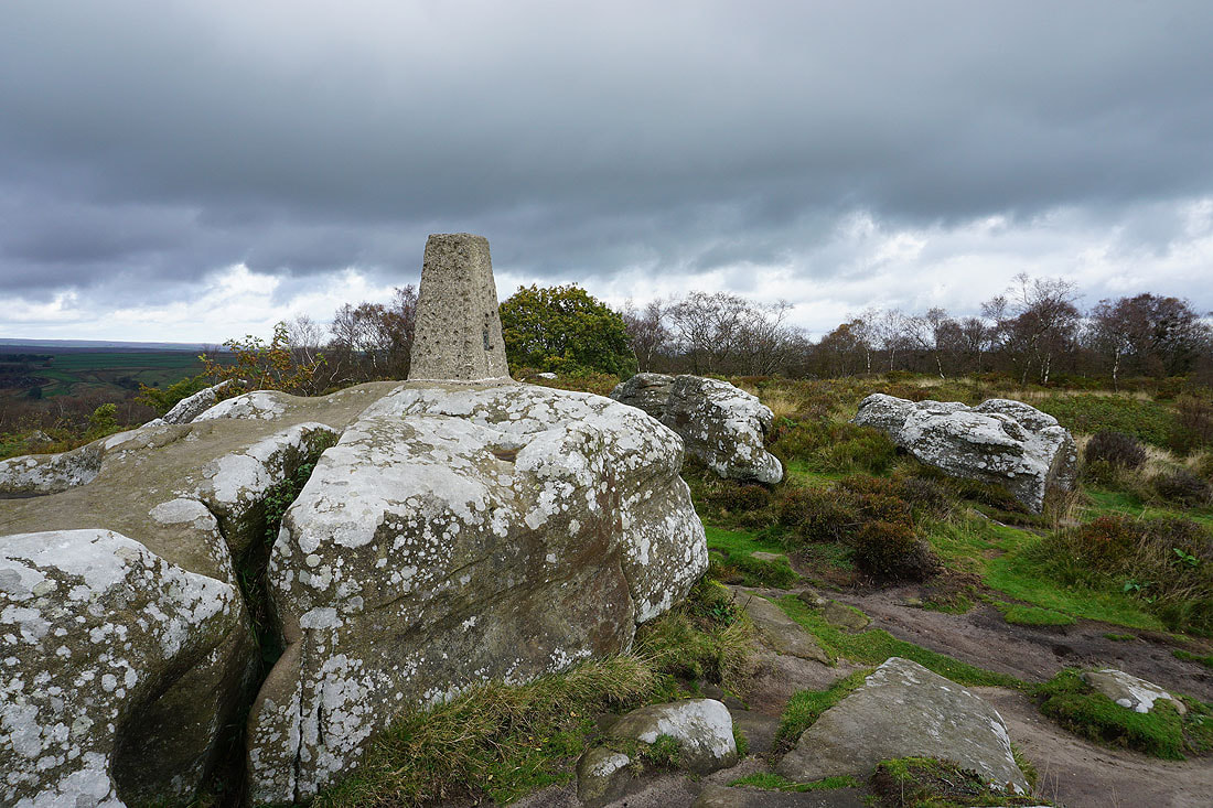
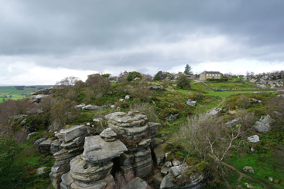
At the trig point point on Brimham Rocks
There's a fantastic view across Nidderdale from the top of the crags near the trig point..
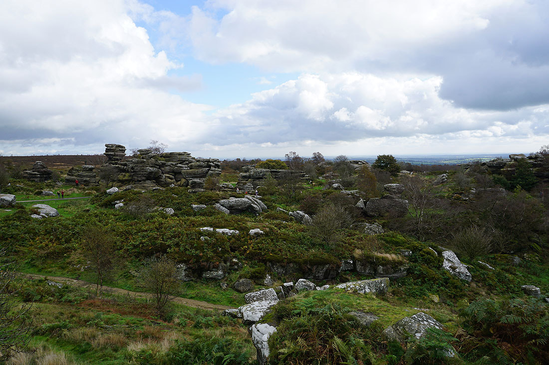
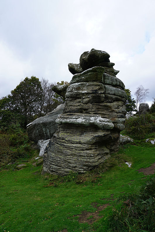
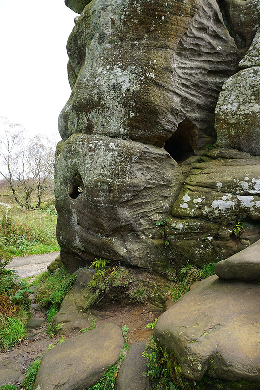
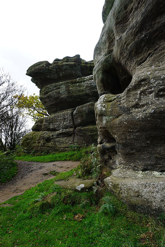
The rock playground of Brimham Rocks
This is called "The Dancing Bear"
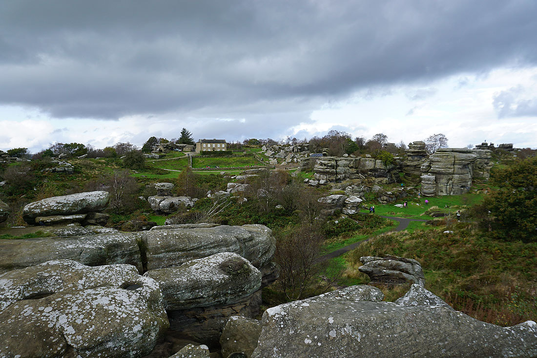
The trig point is on boulders behind the visitor centre in the middle of the photo
Nidderdale from the southern end of Brimham Rocks
More rocky scenery. I'll have to come back and spend more time exploring, especially to try and find the other named rocks.
|
|
A last shot of Nidderdale before I leave Brimham Rocks
The moorland of Graffa Plain
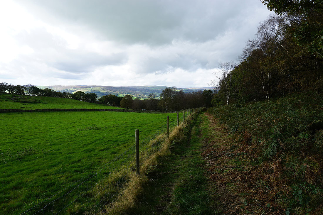
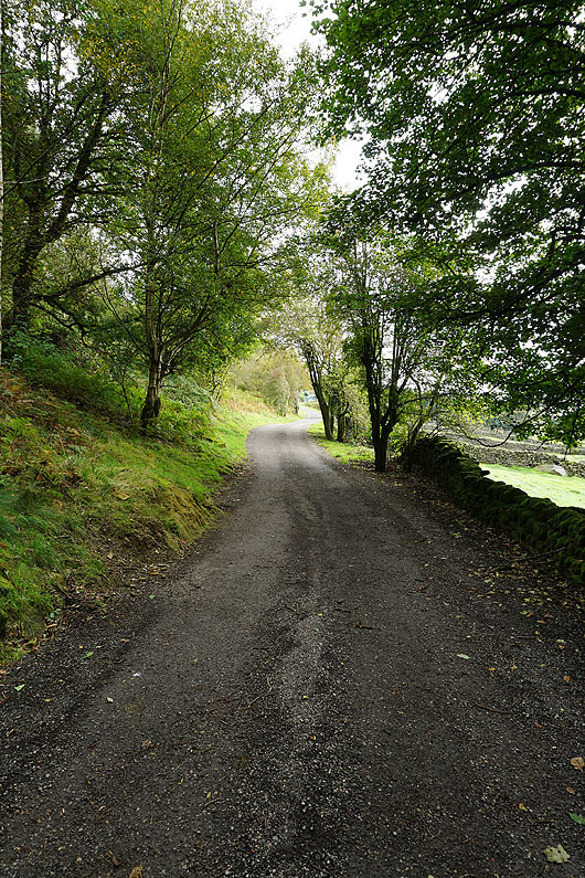
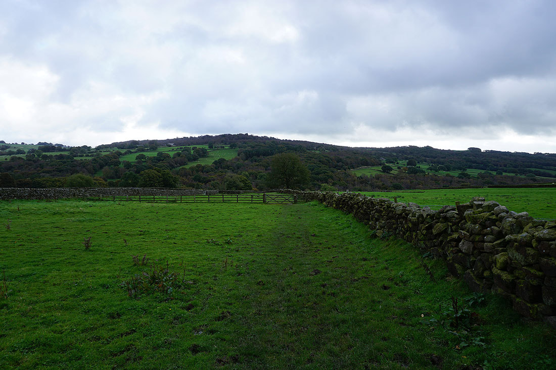
On the Nidderdale Way towards Smelthouses
I leave the Nidderdale Way for a path across fields down to the road to Smelthouses. Looking up Nidderdale..
..and back to Brimham Moor
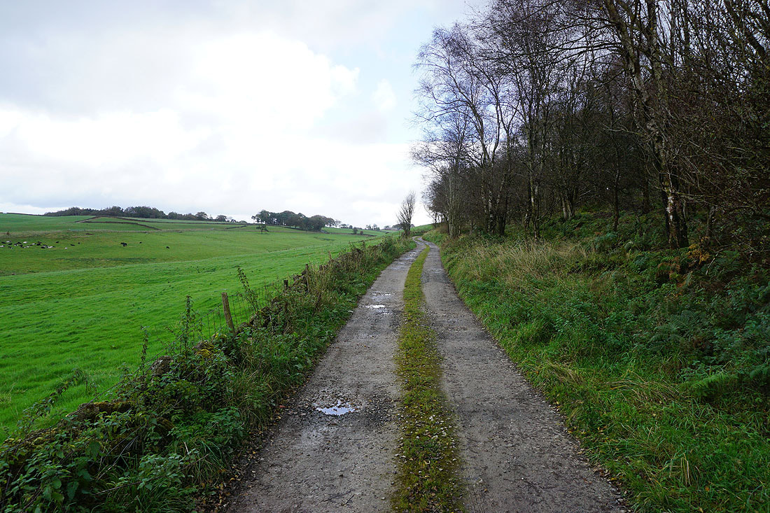
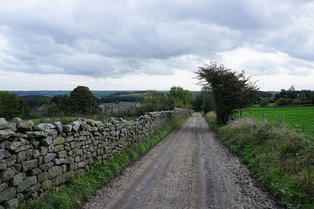
Past Braisty Woods Farm
On the bridleway down to the B6165 to Summerbridge
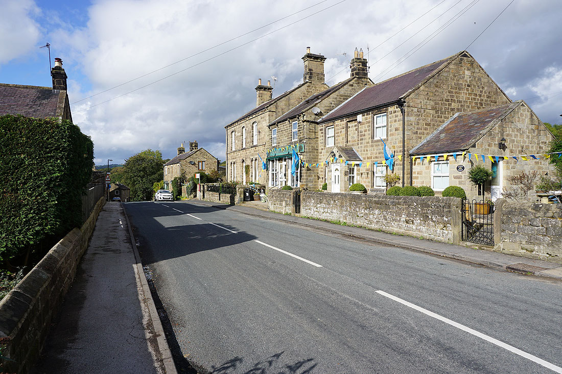
In the village of Summerbridge
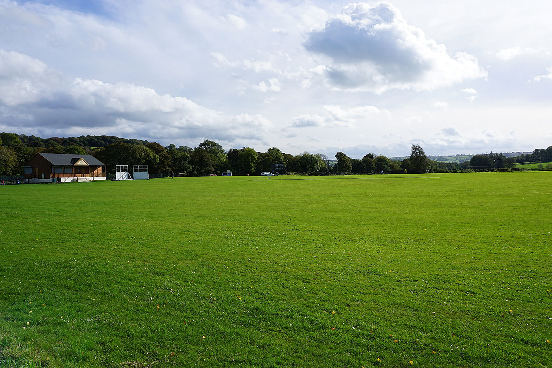
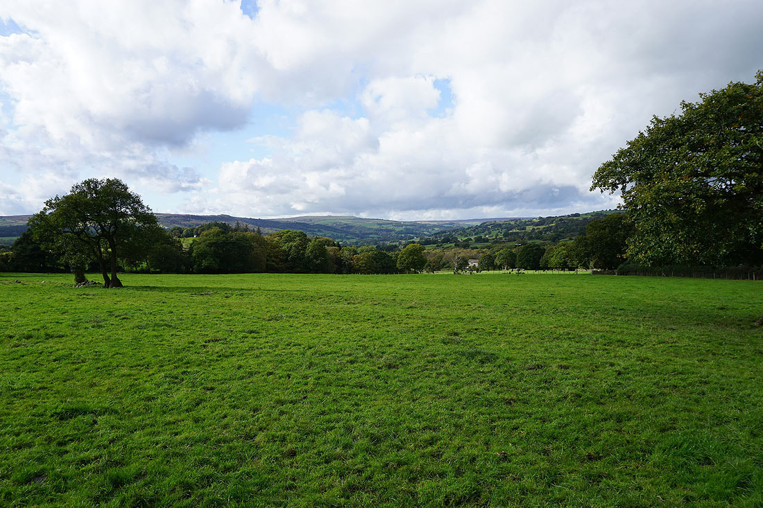
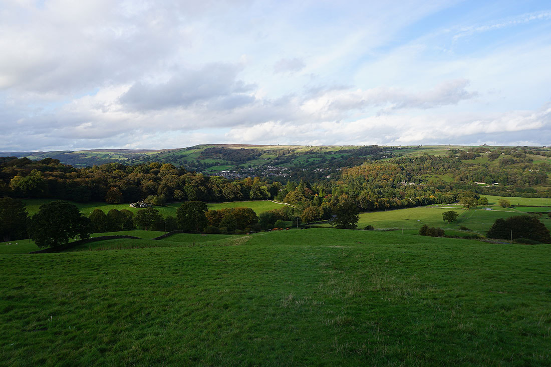
The grounds of Dacre Banks cricket club

Looking back to Dacre Banks and Summerbridge as I follow the Nidderdale Way up onto the moors. It's turned into a lovely autumn afternoon.
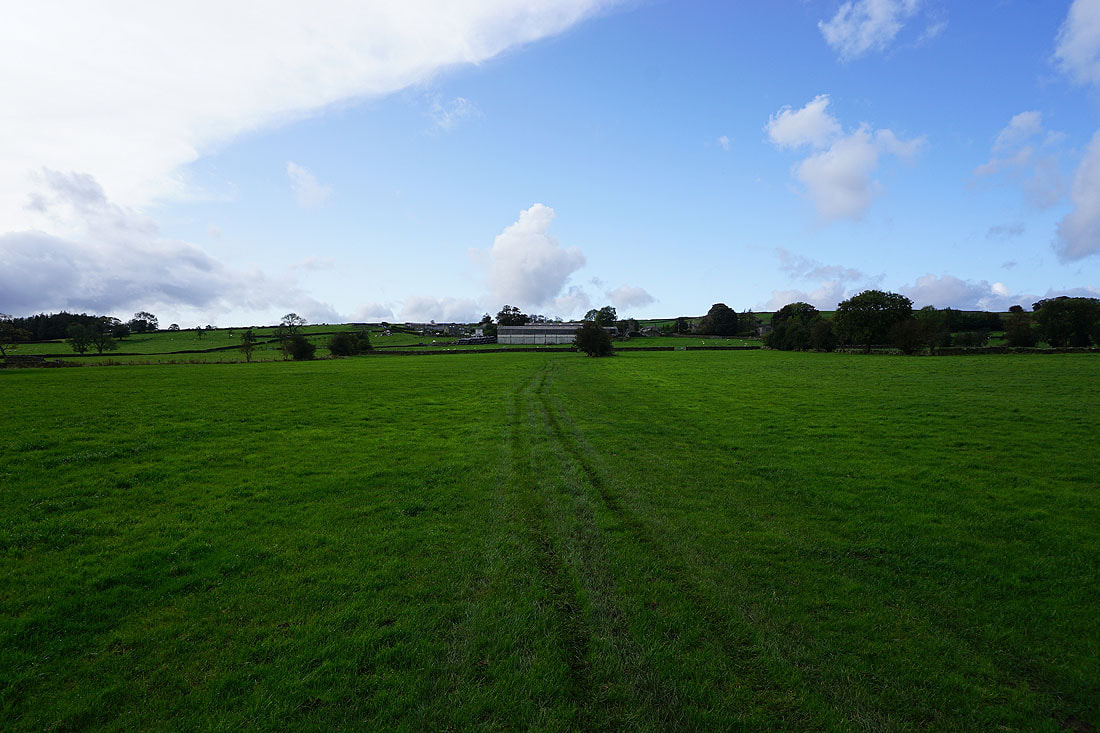
The Nidderdale Way makes its way through pastures
On the Nidderdale Way along Lane Foot Road
and up to the hamlet of Heyshaw
Looking back to Heyshaw as the Nidderdale Way takes a track..
..onto the moorland of High Crag Ridge
Loftshaw Gill down into Nidderdale
The sun coming out certainly adds some colour to the scene in the disused quarries below High Crag Ridge
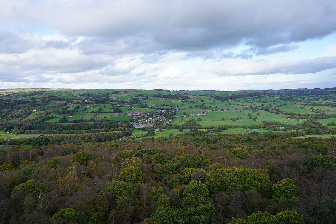
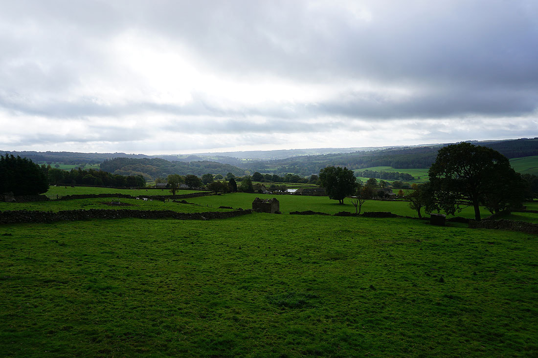
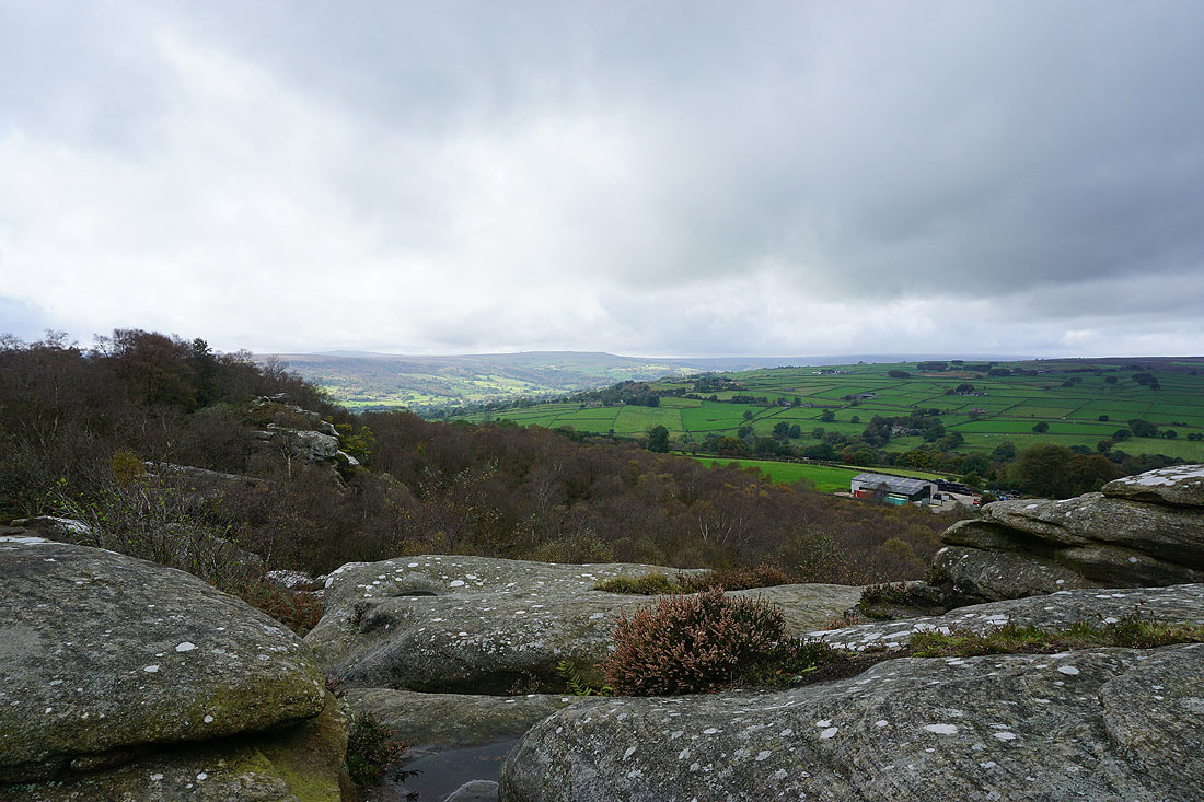
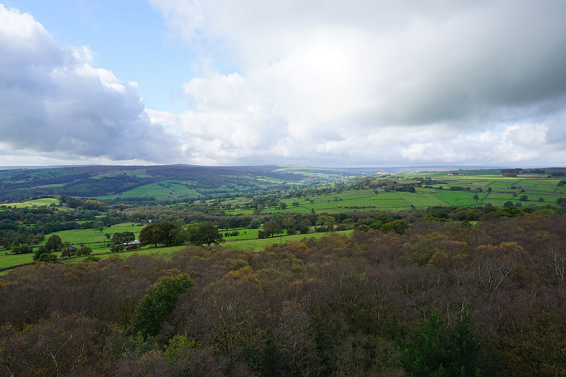
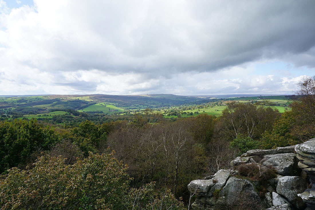
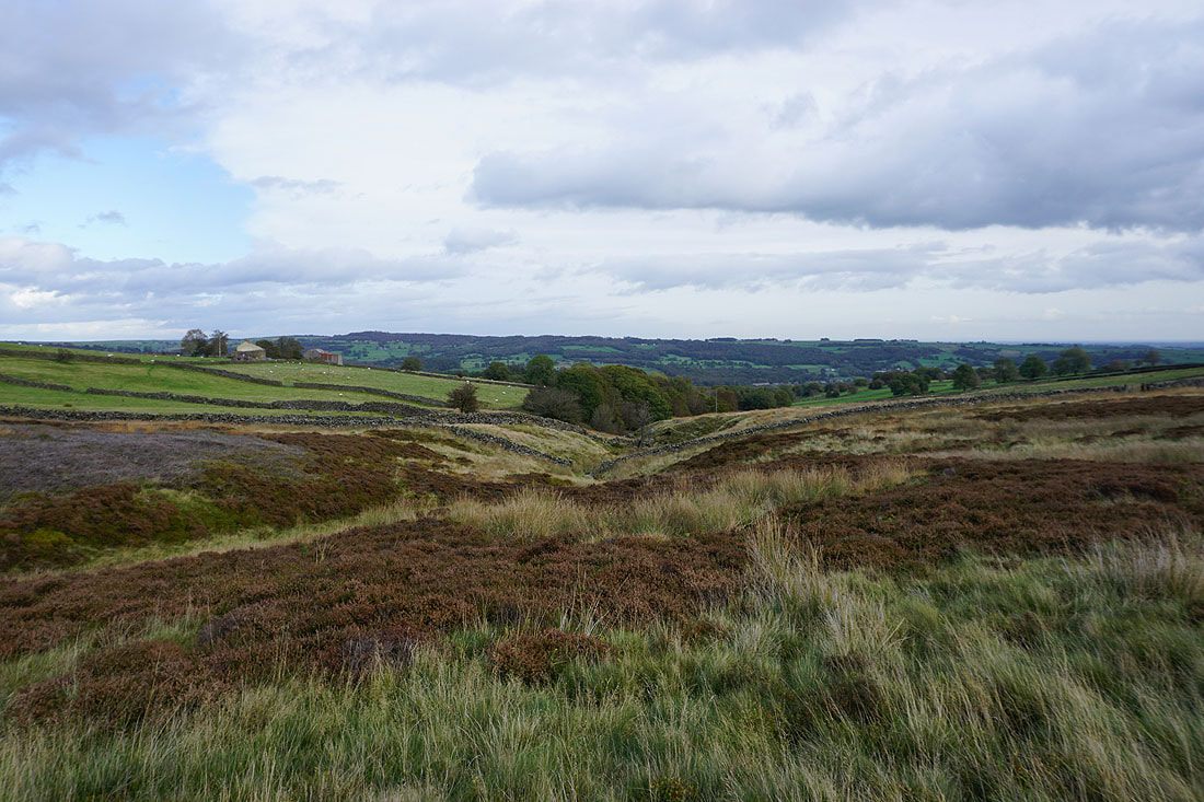
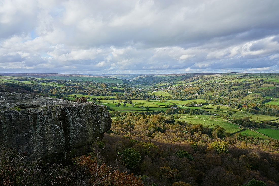
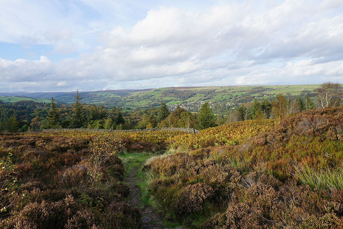
The village of Glasshouses from the eastern end of Guise Cliff
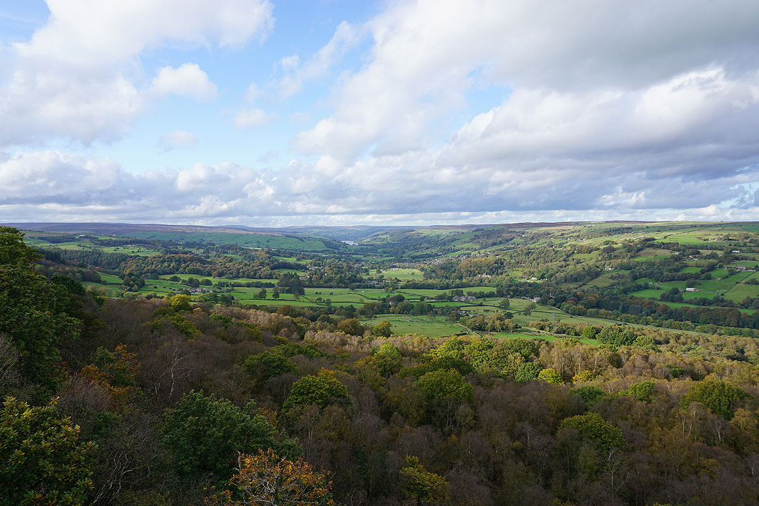
and the view up Nidderdale to Pateley Bridge and Gouthwaite Reservoir
Glasshouses and Nidderdale with Bark Cabin Wood below
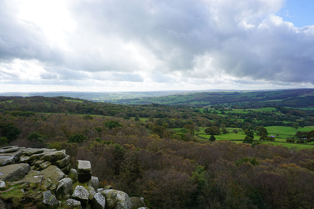
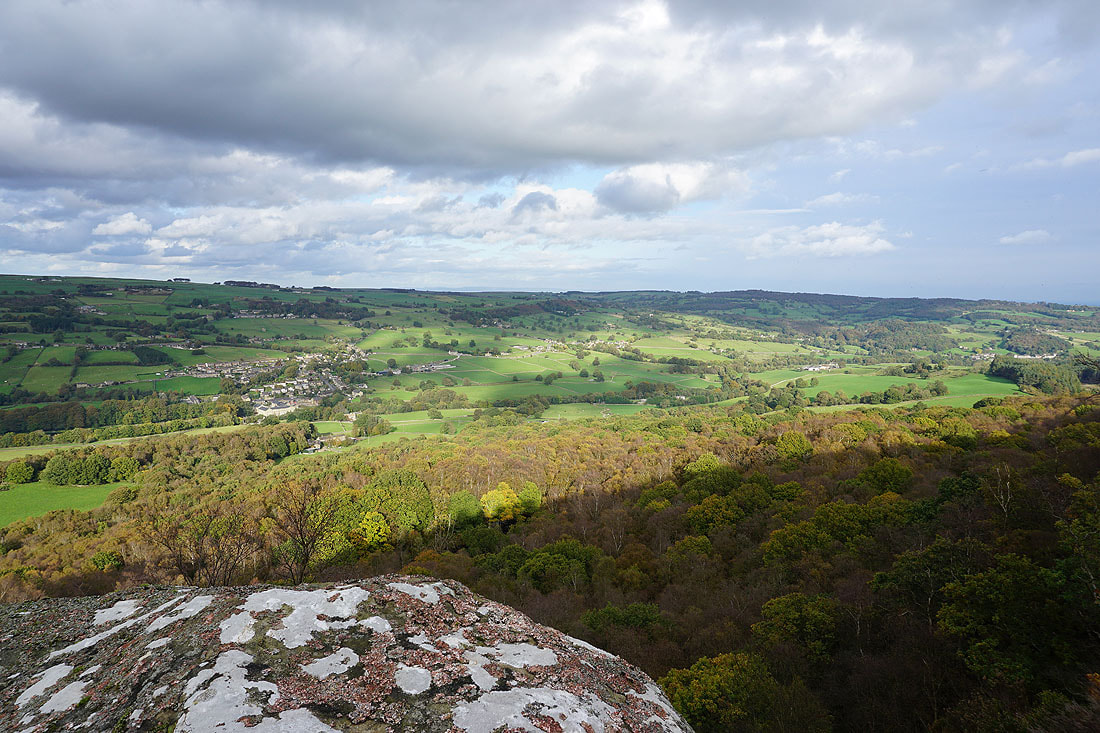
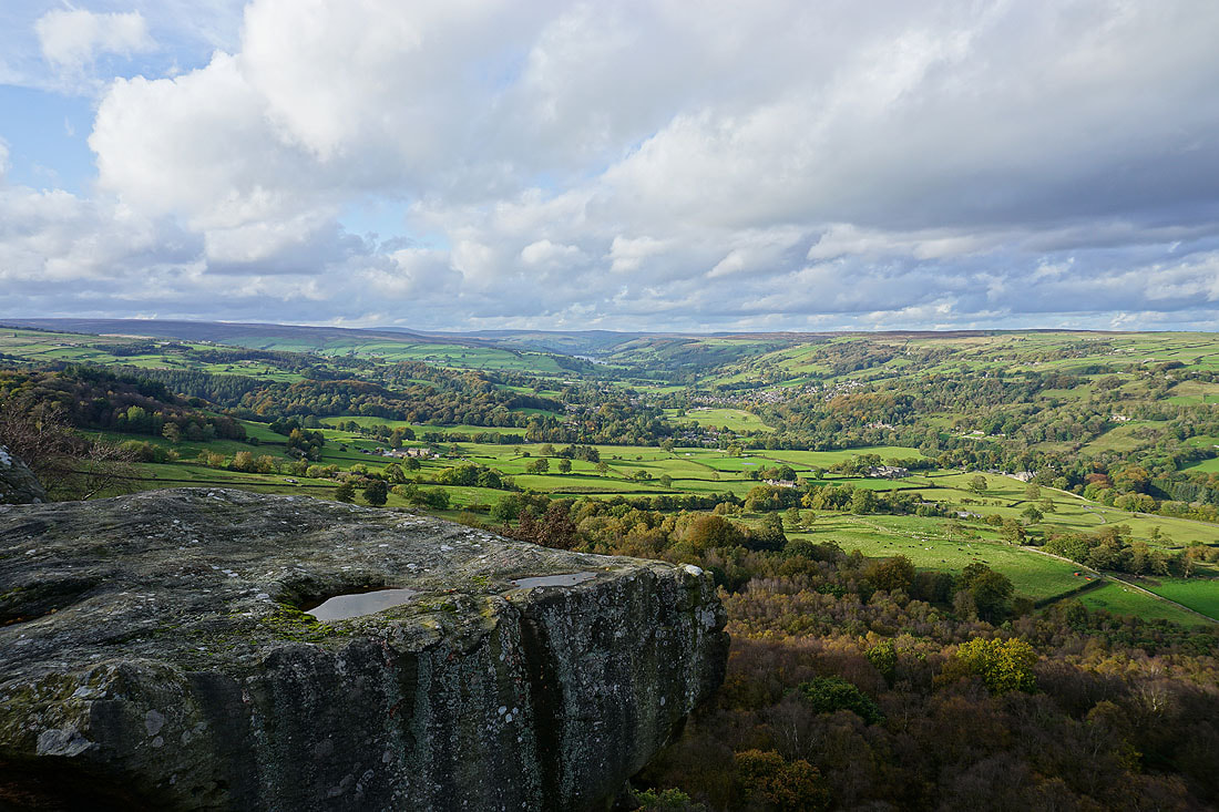
There are a few places on Guise Cliff where I can get onto the edge and take in the view. I enjoyed spending a bit of time trying different positions and settings on my camera.....
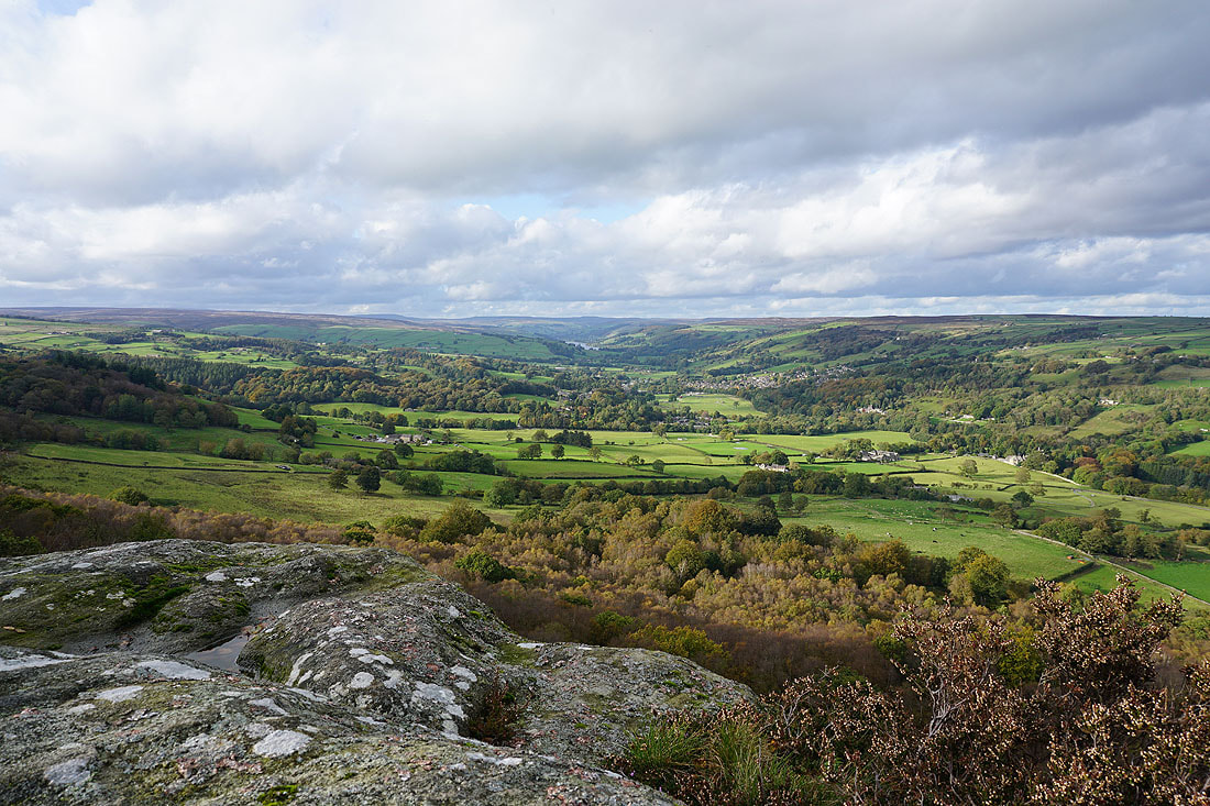
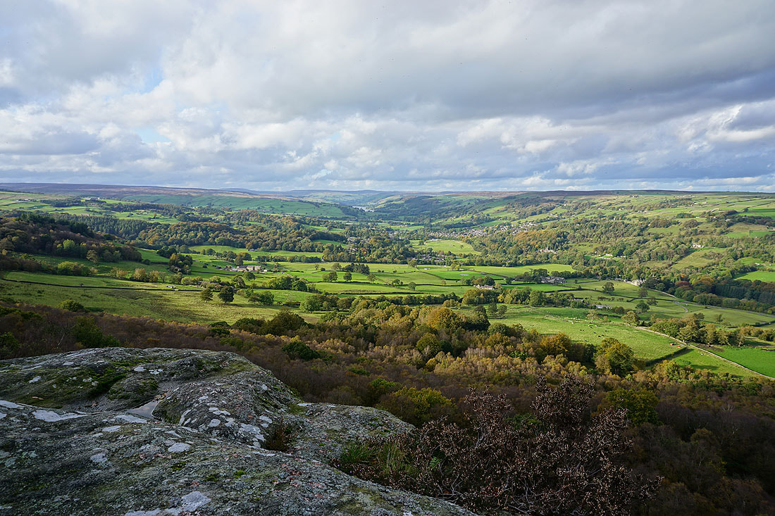
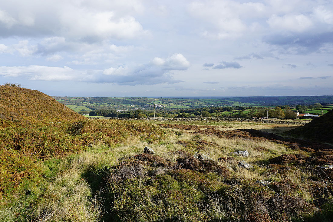
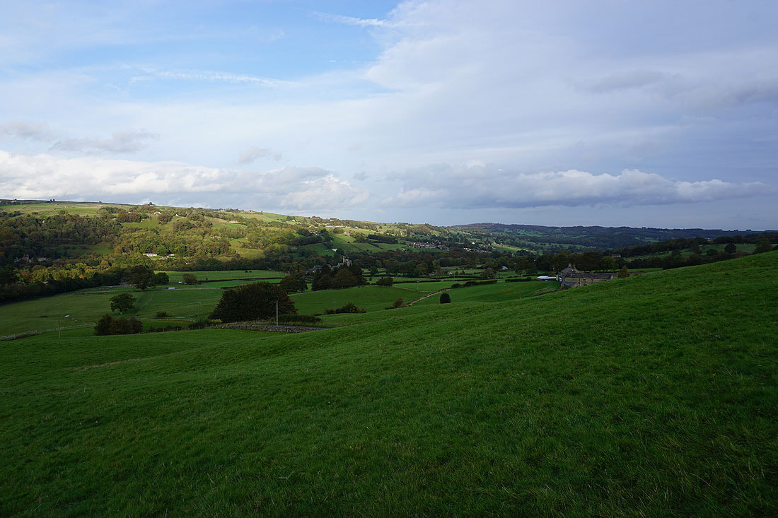
A last shot of Glasshouses and Nidderdale, with Brimham Moor in the distance on the right
The heathery High Crag Ridge
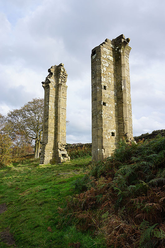
Yorke's Folly
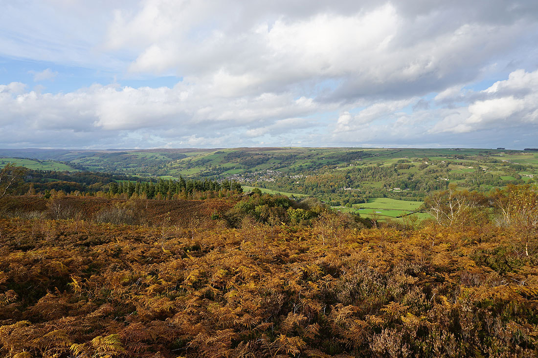
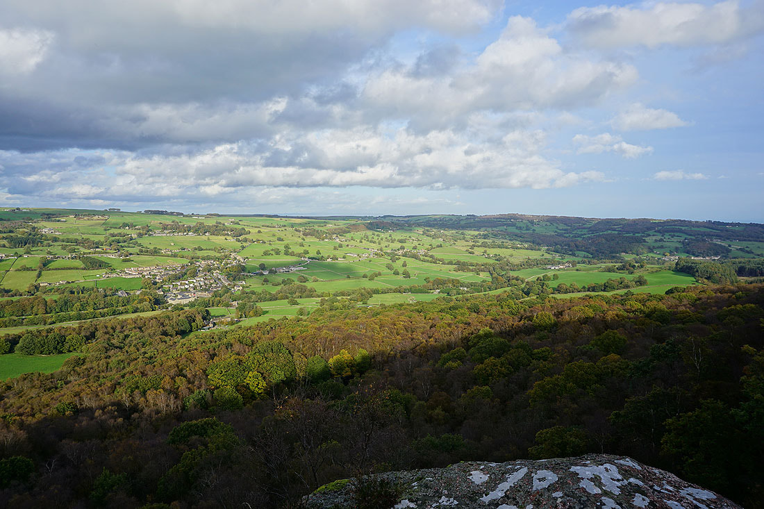
The dead bracken adds some colour to the scene as I look across the dale to Pateley Bridge
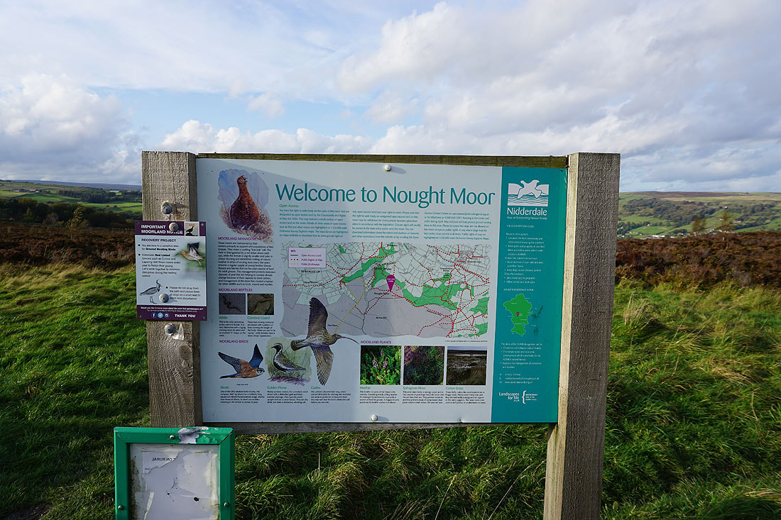
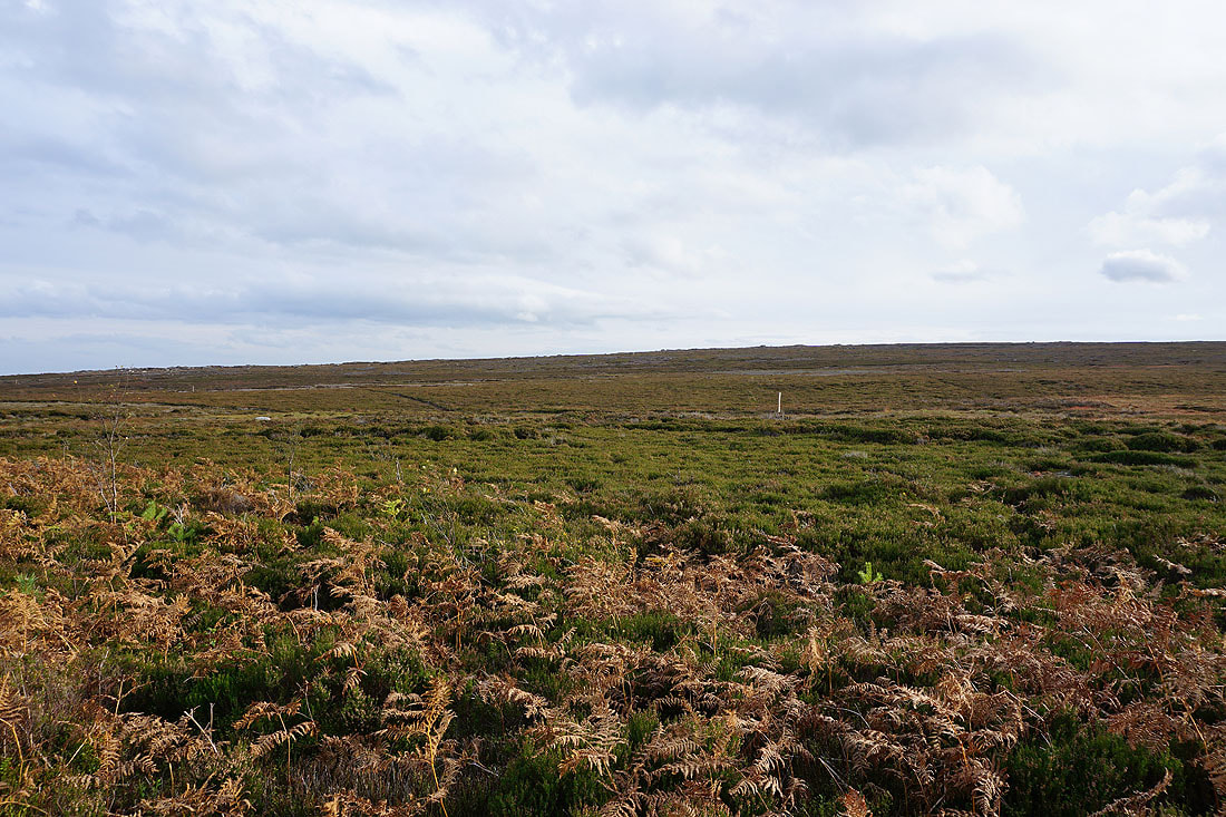
Onto Nought Moor
Bewerley Moor in the distance from Nought Moor
Leaving Nought Moor on the Nidderdale Way
Pateley Bridge ahead as I follow the Nidderdale Way down to Bewerley
and looking down Nidderdale to Glasshouses and Brimham Moor
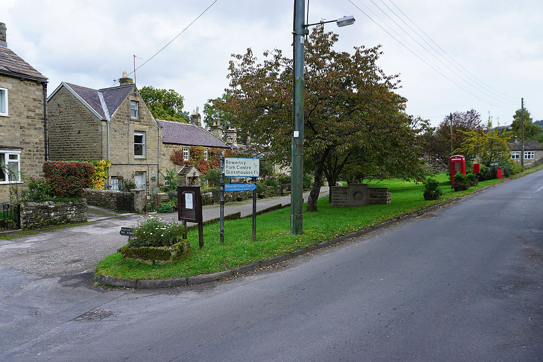
In the village of Bewerley
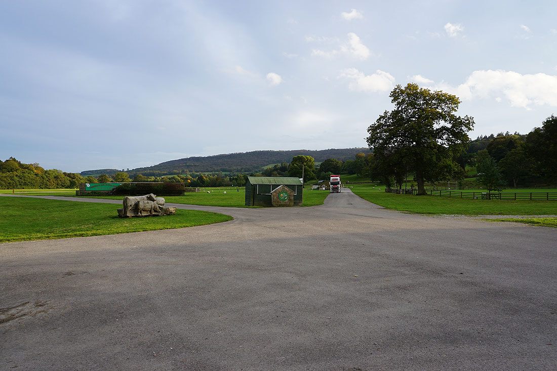
Back at the car park in Bridgehouse Gate, which is at the entrance to Bewerley Park. Nidderdale has its annual agricultural show here.