12th September 2009 - Great Gable
Walk Details
Distance walked: 5.5 miles
Total ascent: 2716 ft
OS map used: OL4 - The English Lakes, North-western area
Time taken: 6 hrs
Route description: Seathwaite-Sourmilk Gill-Gillercomb-Green Gable-Windy Gap-Great Gable-Sty Head-Stockley Bridge-Seathwaite
A walk up Great Gable on a beautiful day. I left Seathwaite and took the path up by Sourmilk Gill and into Gillercomb and then upto the summit of Green Gable. I then crossed Windy Gap and made my way to the summit of Great Gable. From Great Gable I then used the Breast Route to make my way down to Sty Head from where I took the path down by Styhead Gill down to Stockley Bridge and then Seathwaite.
Route map
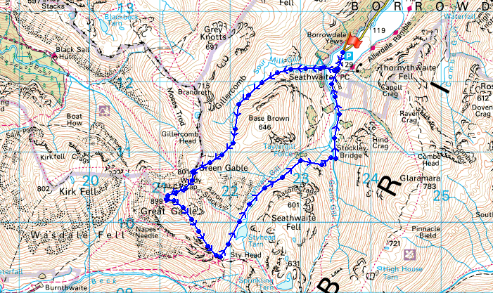
© Crown copyright. All rights reserved. License number PU 100034184.
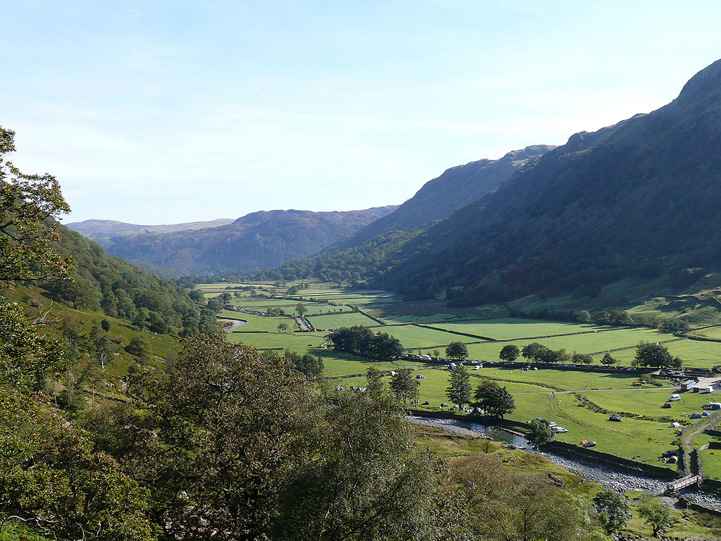
Borrowdale as I start the climb up by Sourmilk Gill
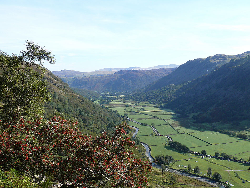
and higher up
and from the top of Sourmilk Gill
Making my way up to the summit of Green Gable. Raven Crag and Gillercomb below with Skiddaw and Blencathra in the distance.
Base Brown below with the Helvellyn range in the distance
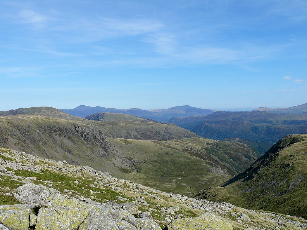
Seathwaite Fell and the Glaramara ridge. You can see the tops of Harrison Stickle and Pike o'Stickle over the Glaramara ridge.
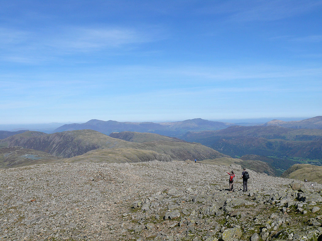
On the summit of Green Gable. The view down Ennerdale with Pillar on one side and the High Stile ridge on the other.
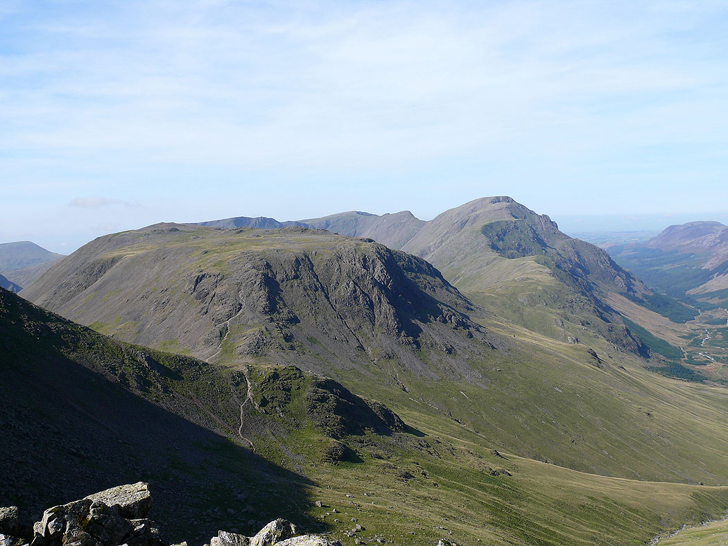
Kirk Fell and Pillar
Skiddaw and Blencathra to the north
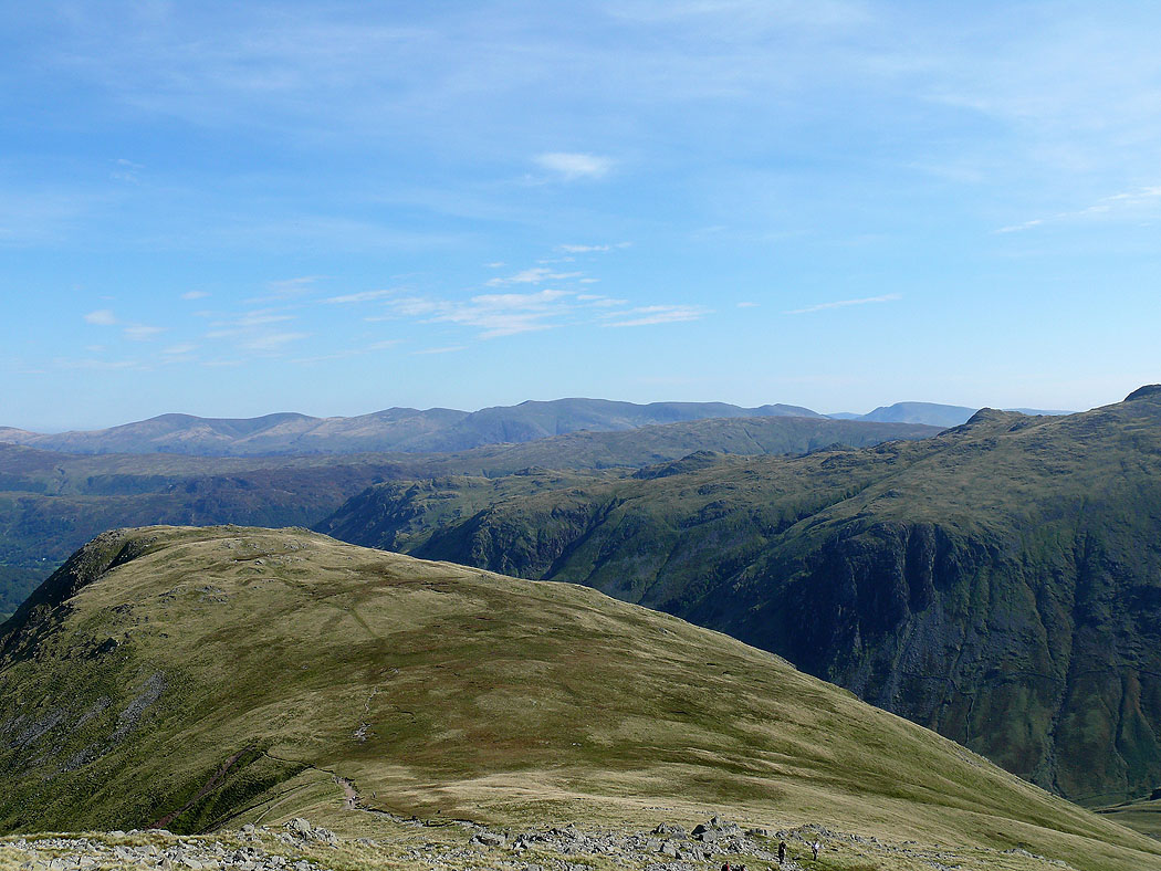
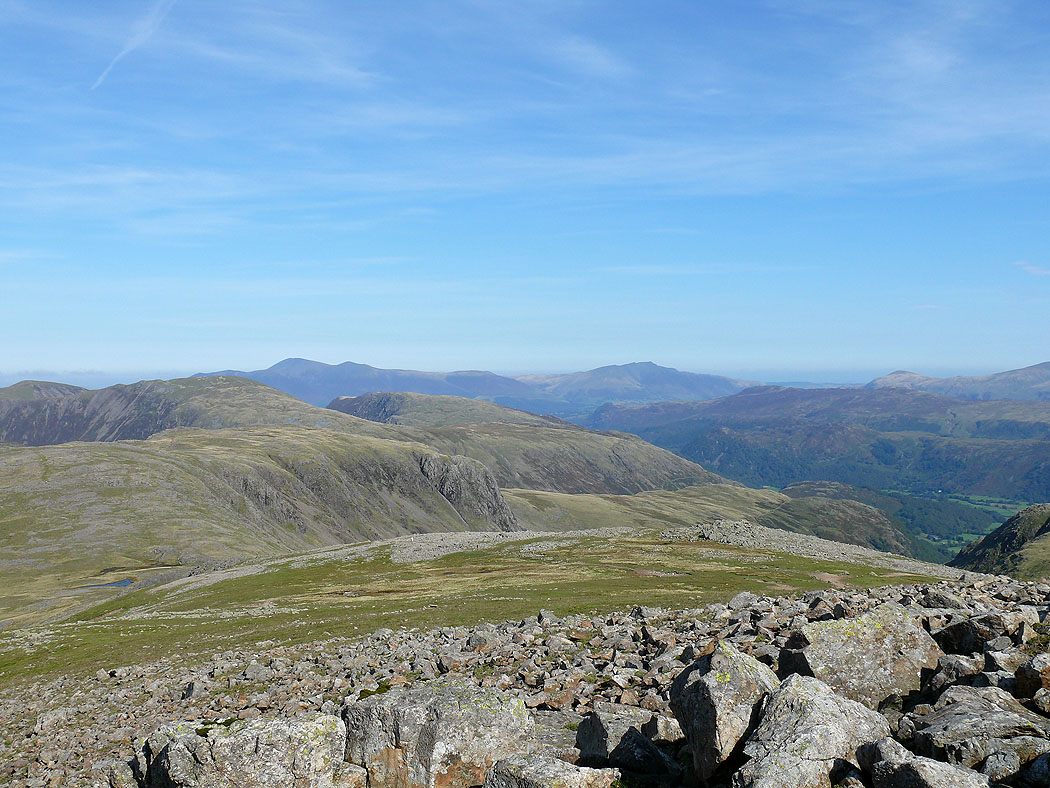
The view across the central fells to the Helvellyn range
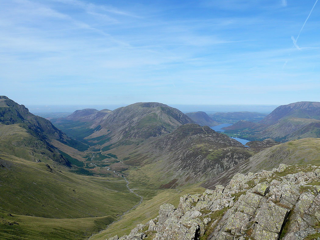
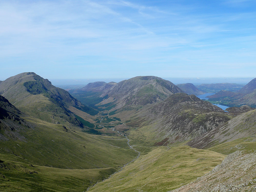
The High Stile range with Ennerdale on one side and Buttermere and Crummock Water on the other
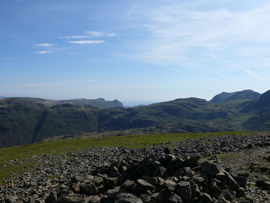
Harrison Stickle and Pike o'Stickle over the Glaramara and Allen Crags ridge
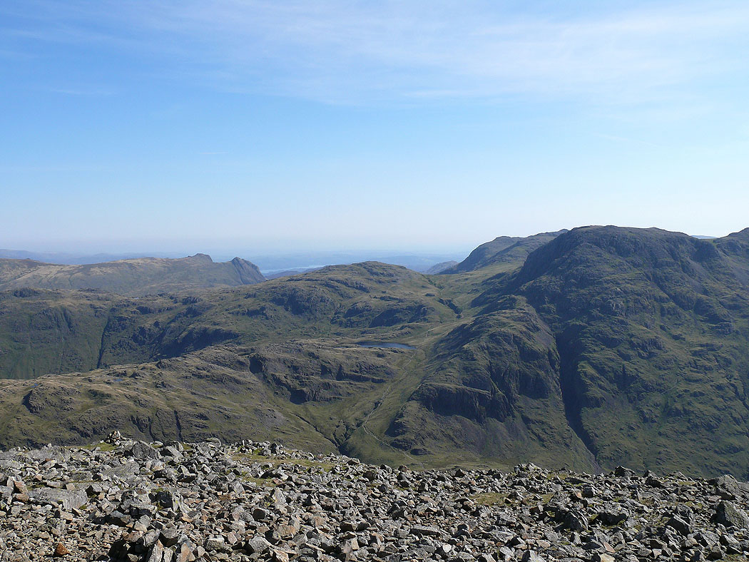
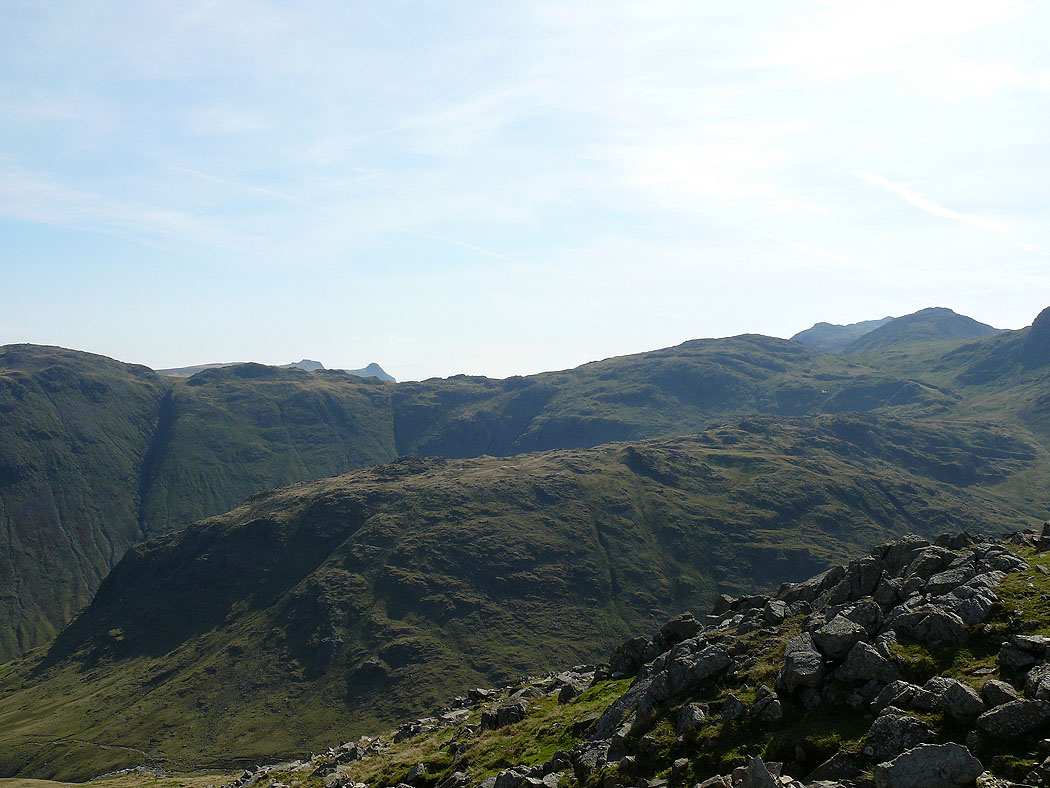
On the summit of Great Gable. The view across to the Langdale Pikes, Allen Crags and Great End.
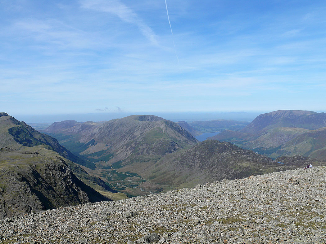
Ennerdale and the High Stile range
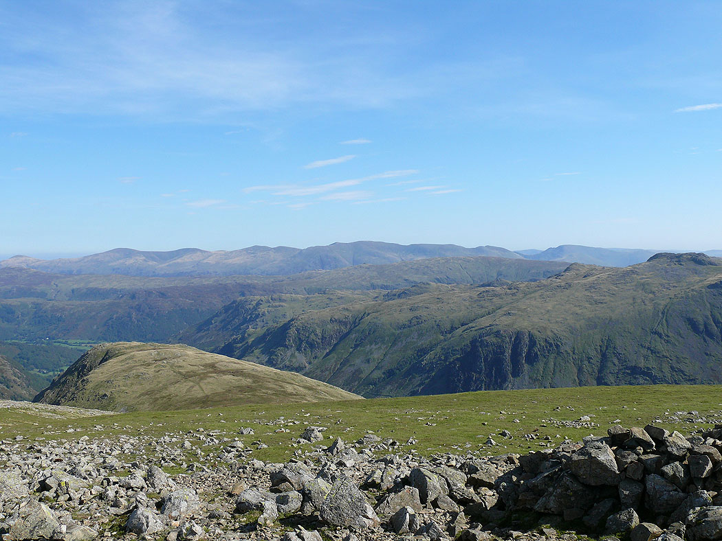
The view to Grasmoor, Crag Hill, Grisedale Pike, the northwestern fells and Skiddaw
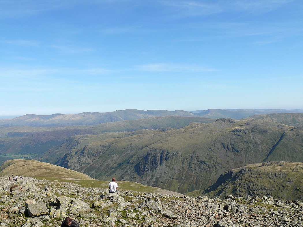
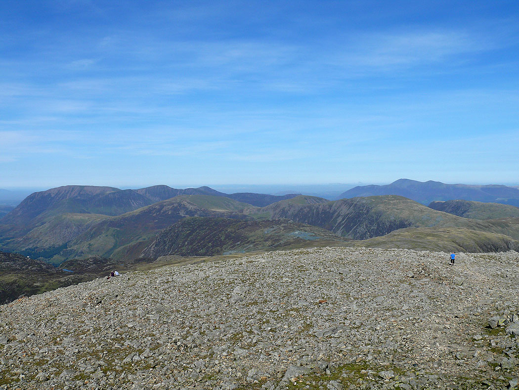
The view across Rosthwaite Fell to Ullscarf and the central fells and then Helvellyn and the eastern fells
Skiddaw and Blencathra to the north
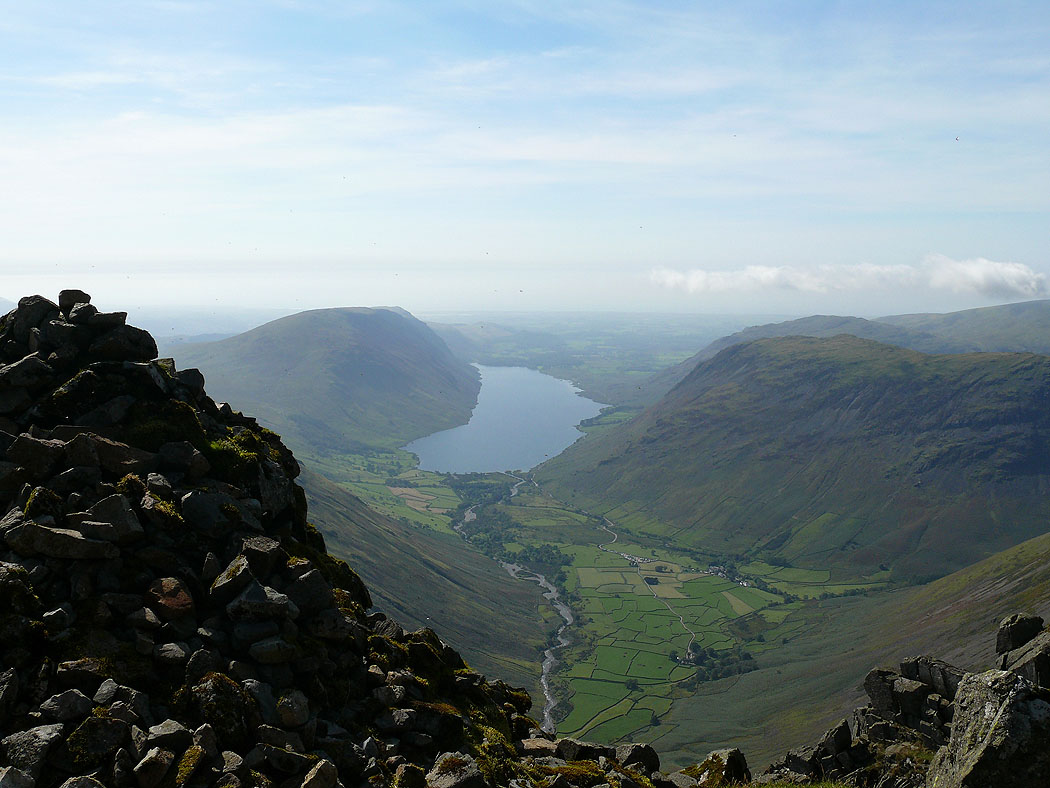
The classic view of Wasdale from the Westmorland Cairn
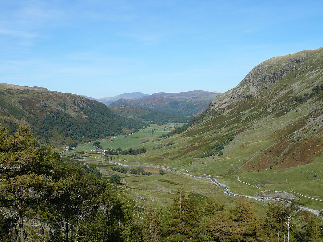
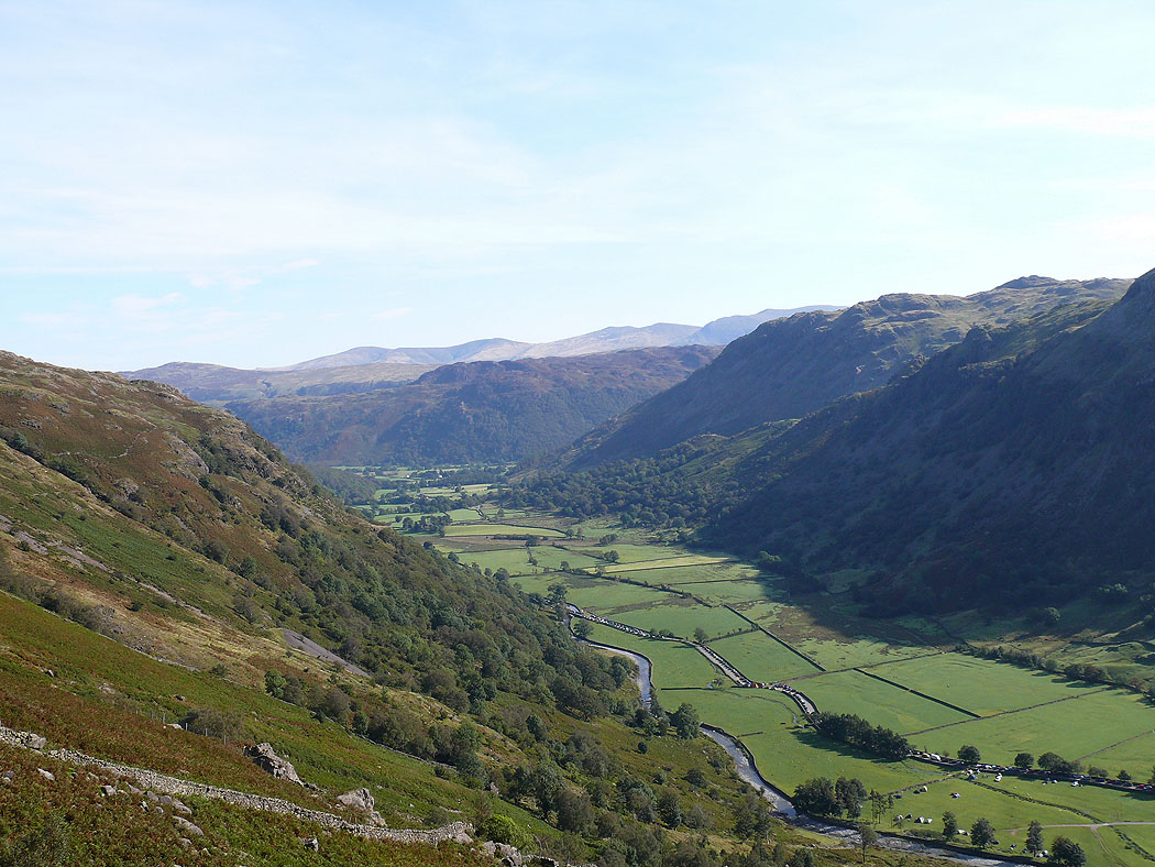
Borrowdale as I head down to Stockley Bridge and then Seathwaite