12th September 2010 - Buckden Pike
Walk Details
Distance walked: 7.8 miles
Total ascent: 1675 ft
OS map used: OL30 - Yorkshire Dales, Northern & Central areas
Time taken: 5 hrs
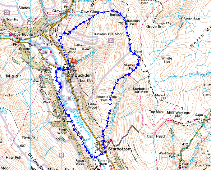
Route description: Buckden-Buckden Rake-Buckden Pike-Walden Road-Starbotton-Dales Way- Buckden
I started this walk from the National Park car park in Buckden and took the path through Rakes Wood to Buckden Rake and then up to the summit of Buckden Pike. I then walked south along the summit ridge to pick up Walden Road which I followed down to Starbotton. It was then a case of following the Dales Way back to Buckden.
Route map
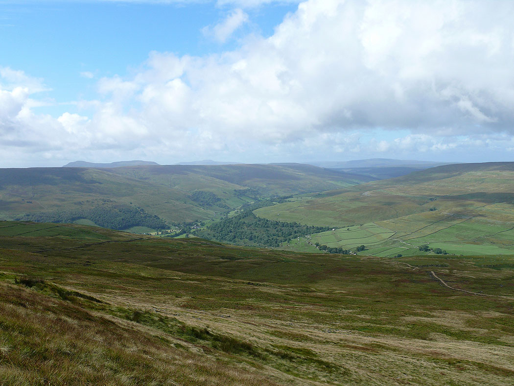
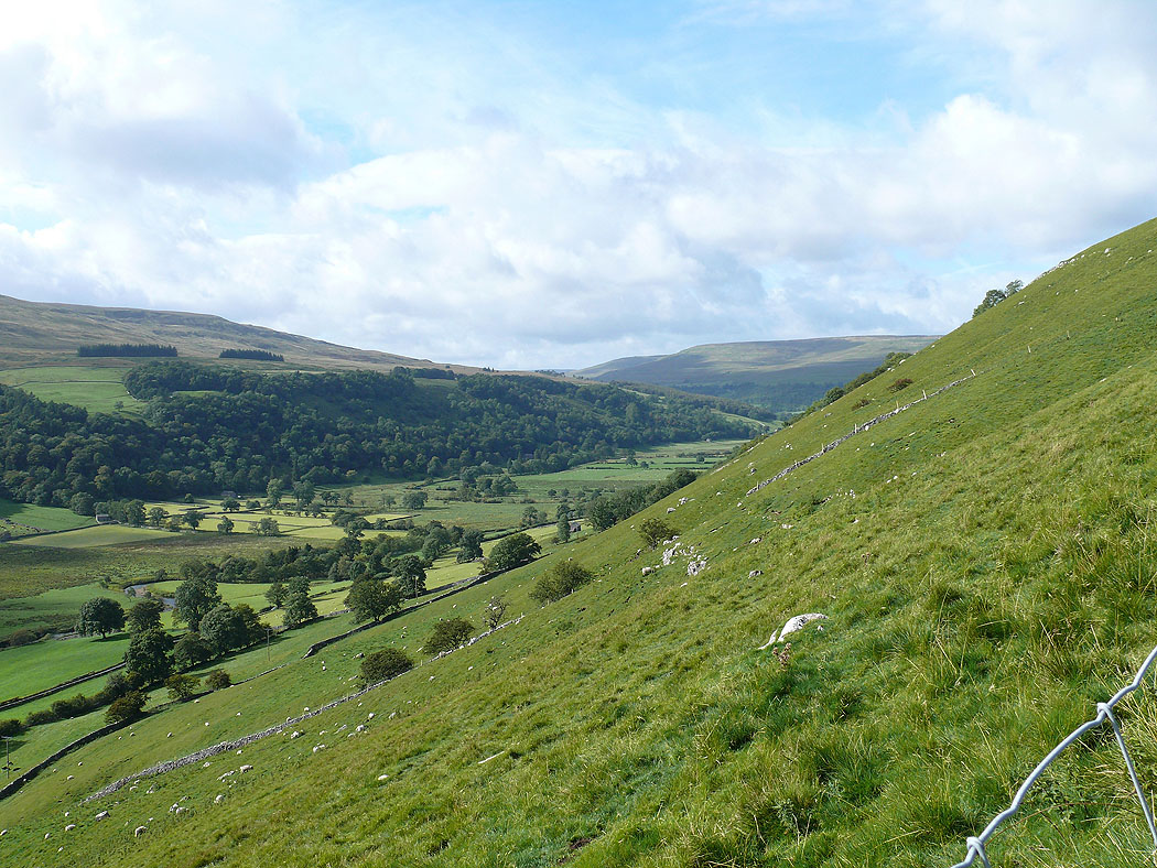
Langstrothdale from the climb out of Buckden
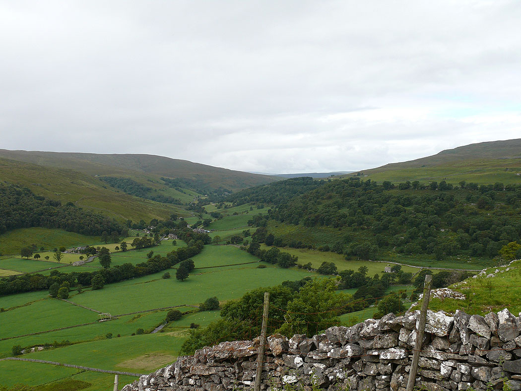
The view back down into Wharfedale
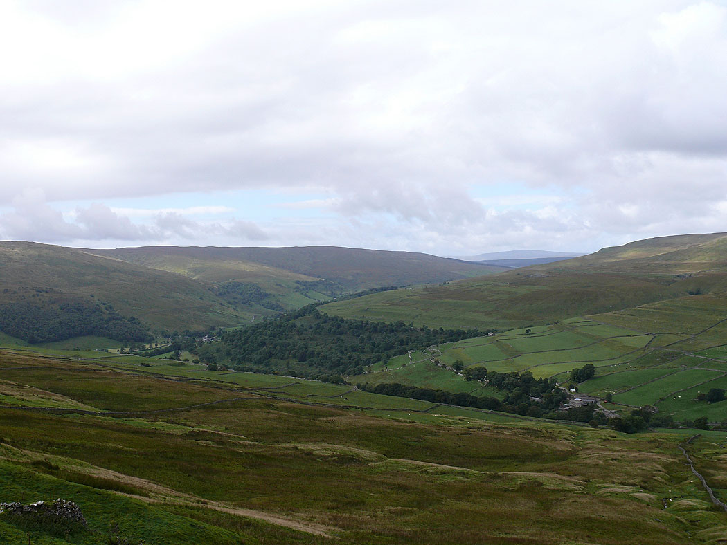
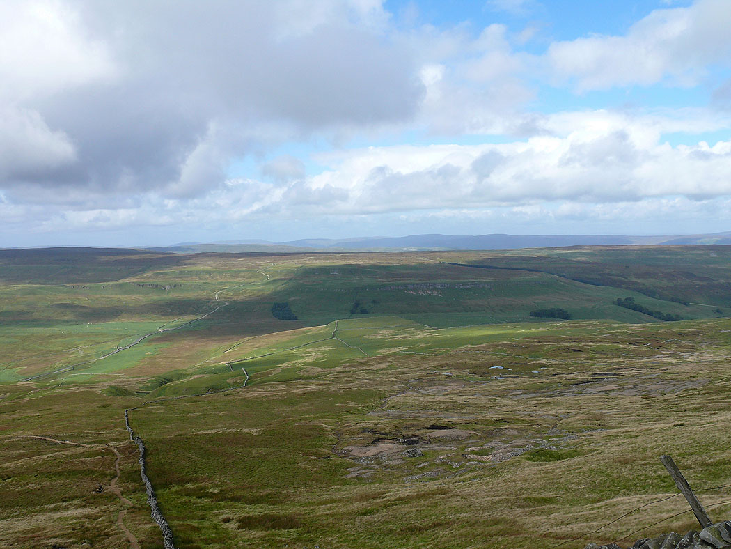
Langstrothdale on the way up Buckden Pike
Higher up and Penyghent comes into view on the left
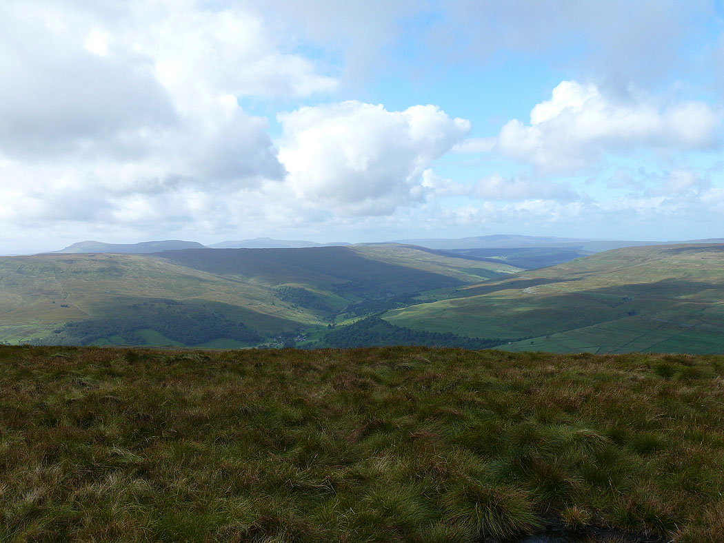
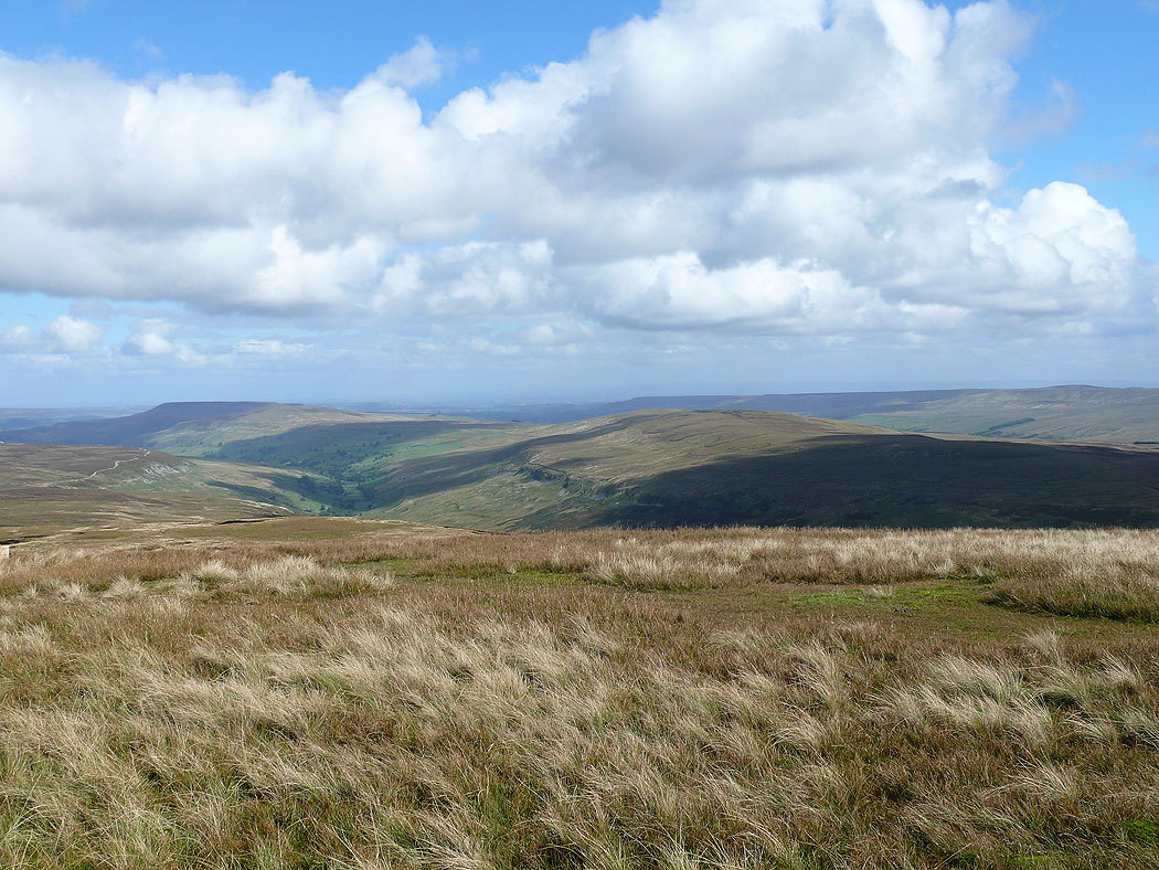
The view north to the fells around Wensleydale
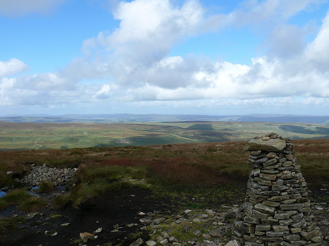
On the summit of Buckden Pike with a view towards Penyghent, Ingleborough and Whernside
The view across to the fells around Wensleydale from Buckden Pike
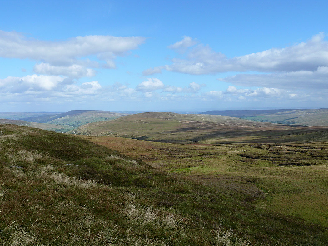
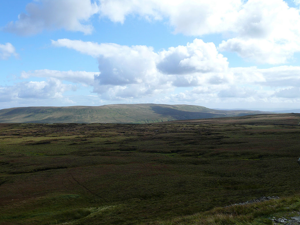
Harland Hill and Brown Haw across Walden
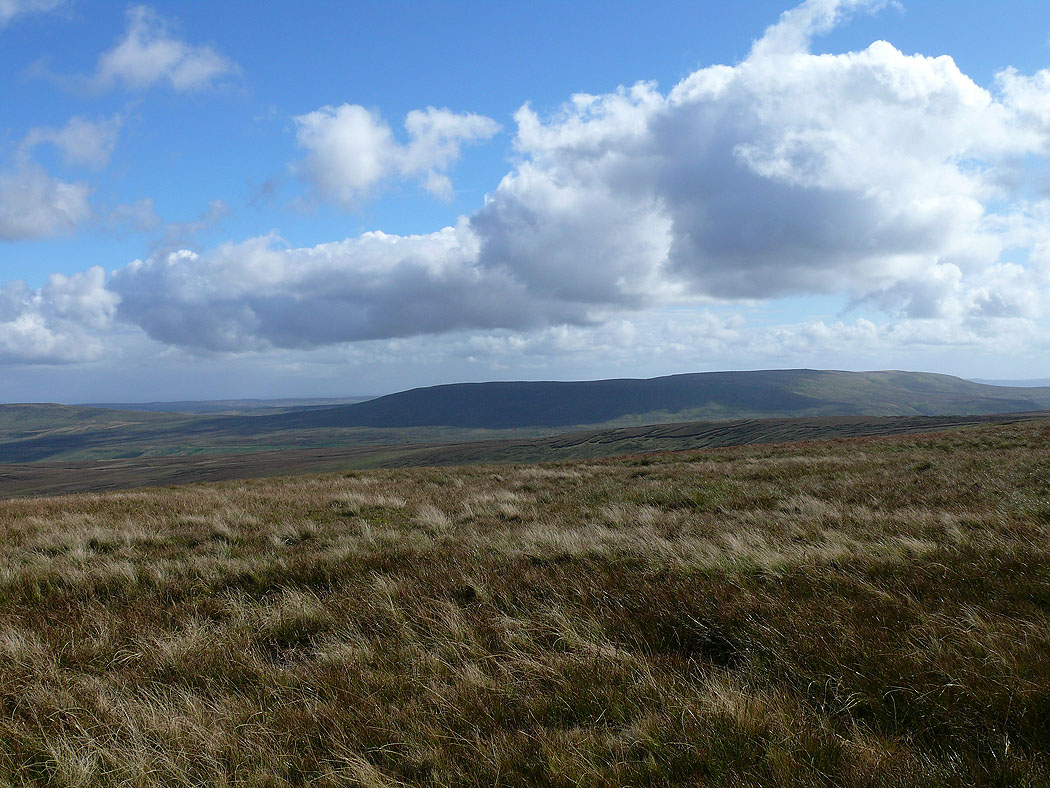
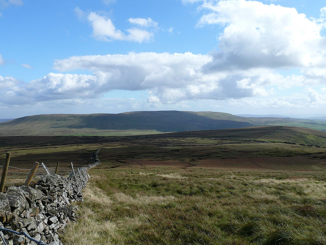
Great Whernside
Heading south along Buckden Pike's summit ridge
Harland Hill and Brown Haw
Great Whernside
On Walden Road heading down into Starbotton
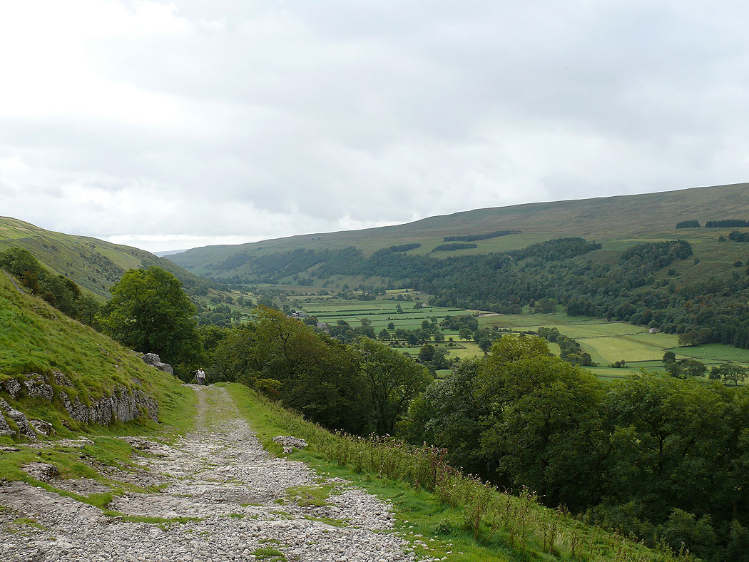
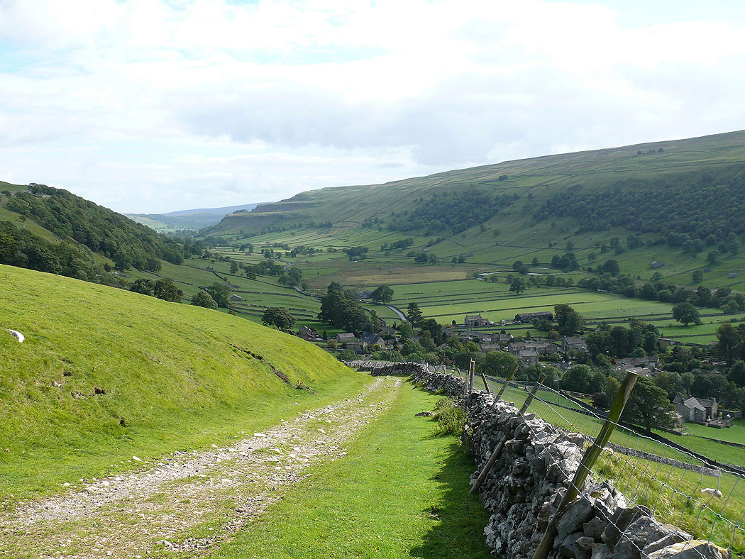
Wharfedale
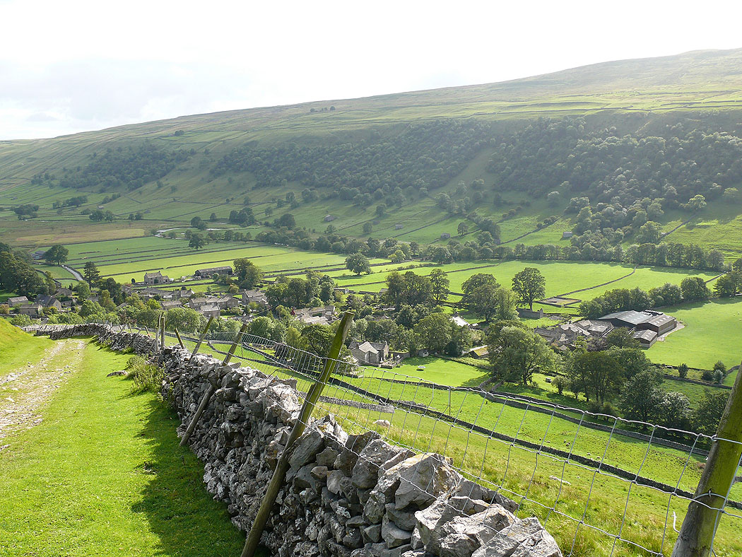
Starbotton. From Starbotton I followed the Dales Way back to Buckden.
