12th September 2020 - Grassington Moor and Capplestone Gate
Walk Details
Distance walked: 13.8 miles
Total ascent: 2225 ft
OS map used: OL2 - Yorkshire Dales, Southern & Western areas
Time taken: 7 hrs
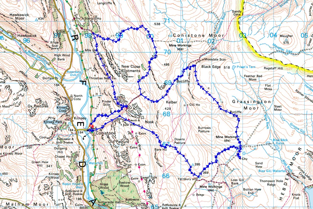
Route description: Conistone-Conistone Dib-Old Pasture-Bare House-New Pasture Edge-Yarnbury-Old Moor Lane-Grassington Lead Mines-Grassington Moor-Black Edge-Bycliffe-Kelber Gate-Bycliffe Road-Conistone Turf Road-Capplestone Gate-Highgate Leys Lane-Dales Way-Conistone Pie-Scot Gate Lane-Conistone
A bright and very breezy day for a walk on the moors above Wharfedale. I'm very familiar with these moors to the east of Grassington and Conistone having done several walks across them in recent years. My route was a variation of one that I did in September last year, but this time taking in the moors to the east of Conistone, the ruins of the disused Grassington Lead Mines, Grassington Moor, the trig point at Capplestone Gate and the trail of the Dales Way. I had a mixture of cloud and sunshine, and a strong wind high up, for taking in the views across the moorland of Wharfedale.
From where I parked by Conistone Bridge I walked up through the hamlet of Conistone and took the footpath up Conistone Dib. Once past Bull Scar I took a footpath on the right and followed it up and across Old Pasture to reach Bare House on Back Pasture, from where I took the path southeast along New Pasture Edge to the hamlet of Yarnbury and the top of Moor Lane. I then turned left and walked up the track of Old Moor Lane to the ruins of the disused Grassington Lead Mines, then up the track north onto Grassington Moor and then northwest below Black Edge. When the track joined the bridleway in Mossdale I turned left and followed it southwest to Kelber Gate and onto the track of Bycliffe Road, where at a left turn I took the footpath of the Conistone Turf Road up to the trig point at Capplestone Gate. Once I'd taken in the view I passed through a gate in the wall behind and followed a path north along the hillside above, through disused mines and until I reached a footpath on the left, which I took and followed down a track to the track of Highgate Leys Lane and the trail of the Dales Way. I then followed the Dales Way south to Conistone Pie and to the top of Scot Gate Lane, where I turned right and walked down the track to Conistone and where I was parked.
Total ascent: 2225 ft
OS map used: OL2 - Yorkshire Dales, Southern & Western areas
Time taken: 7 hrs
Route description: Conistone-Conistone Dib-Old Pasture-Bare House-New Pasture Edge-Yarnbury-Old Moor Lane-Grassington Lead Mines-Grassington Moor-Black Edge-Bycliffe-Kelber Gate-Bycliffe Road-Conistone Turf Road-Capplestone Gate-Highgate Leys Lane-Dales Way-Conistone Pie-Scot Gate Lane-Conistone
A bright and very breezy day for a walk on the moors above Wharfedale. I'm very familiar with these moors to the east of Grassington and Conistone having done several walks across them in recent years. My route was a variation of one that I did in September last year, but this time taking in the moors to the east of Conistone, the ruins of the disused Grassington Lead Mines, Grassington Moor, the trig point at Capplestone Gate and the trail of the Dales Way. I had a mixture of cloud and sunshine, and a strong wind high up, for taking in the views across the moorland of Wharfedale.
From where I parked by Conistone Bridge I walked up through the hamlet of Conistone and took the footpath up Conistone Dib. Once past Bull Scar I took a footpath on the right and followed it up and across Old Pasture to reach Bare House on Back Pasture, from where I took the path southeast along New Pasture Edge to the hamlet of Yarnbury and the top of Moor Lane. I then turned left and walked up the track of Old Moor Lane to the ruins of the disused Grassington Lead Mines, then up the track north onto Grassington Moor and then northwest below Black Edge. When the track joined the bridleway in Mossdale I turned left and followed it southwest to Kelber Gate and onto the track of Bycliffe Road, where at a left turn I took the footpath of the Conistone Turf Road up to the trig point at Capplestone Gate. Once I'd taken in the view I passed through a gate in the wall behind and followed a path north along the hillside above, through disused mines and until I reached a footpath on the left, which I took and followed down a track to the track of Highgate Leys Lane and the trail of the Dales Way. I then followed the Dales Way south to Conistone Pie and to the top of Scot Gate Lane, where I turned right and walked down the track to Conistone and where I was parked.
Route map
© Crown copyright. All rights reserved. License number PU 100034184.
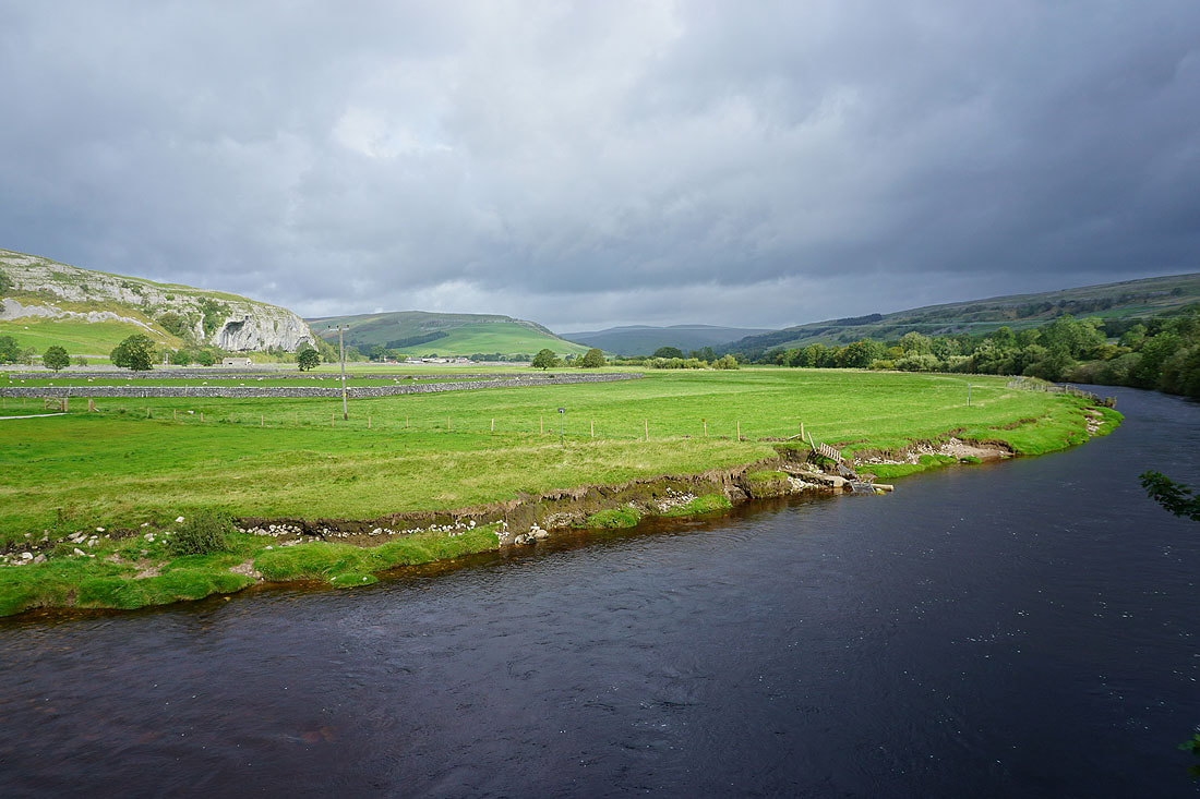
Kilnsey Crag and the River Wharfe from Conistone Bridge
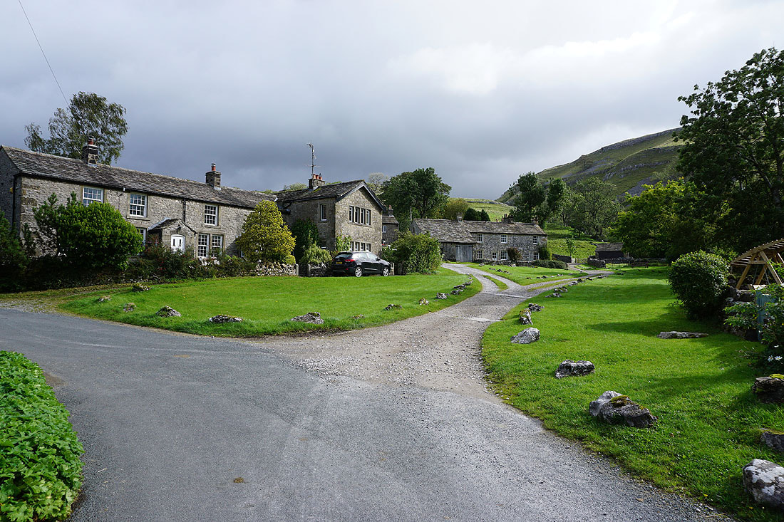
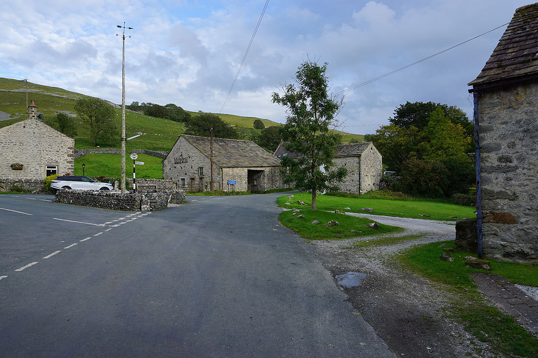
Passing through the hamlet of Conistone
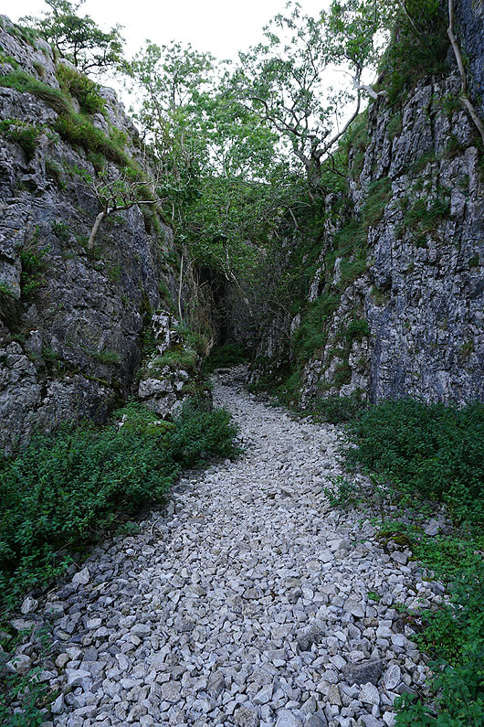
and the narrow entrance to Conistone Dib
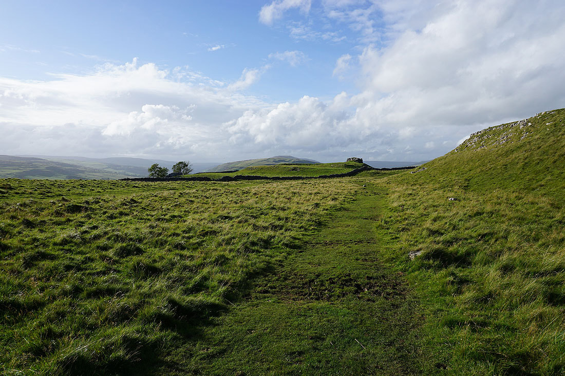
Passing beneath Bull Scar on the right. I'll leave this dry valley via a path just ahead on the right.
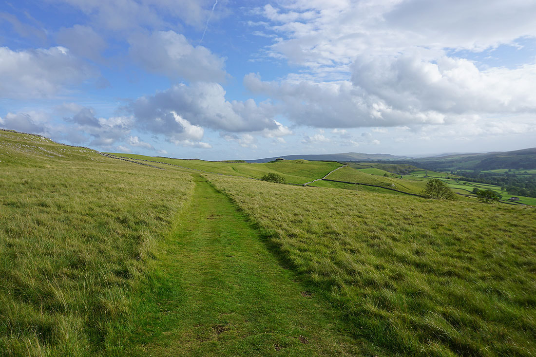
Onto the limestone pastures above Wharfedale
Looking back across Wharfedale
Cracoe Fell in the distance on the left, with the limestone pavements of Lea Green lit by the sun
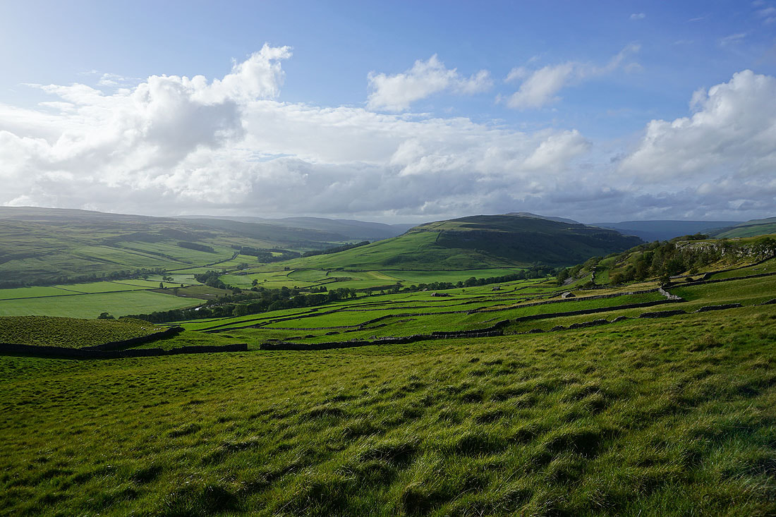
A great view of Wharfedale as I look back while heading up onto Back Pasture
Looking across Wharfedale to Cracoe Fell and Threshfield Moor
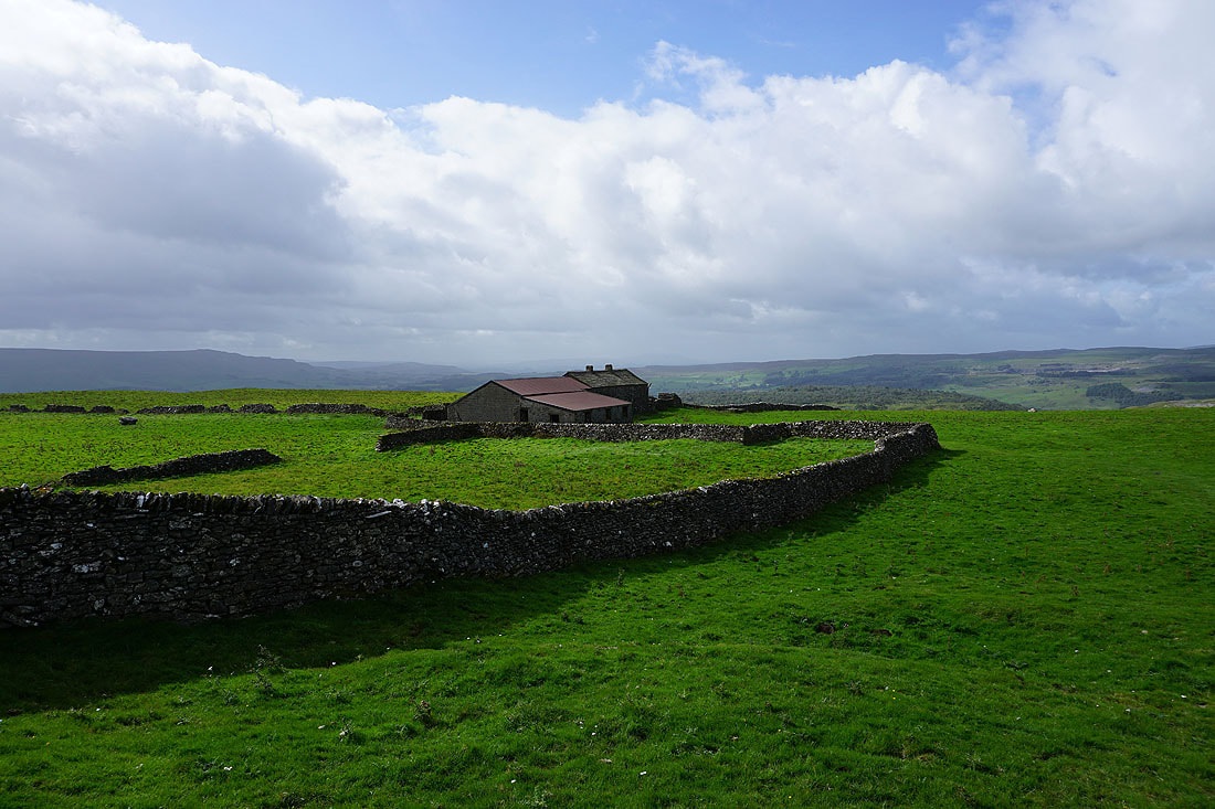
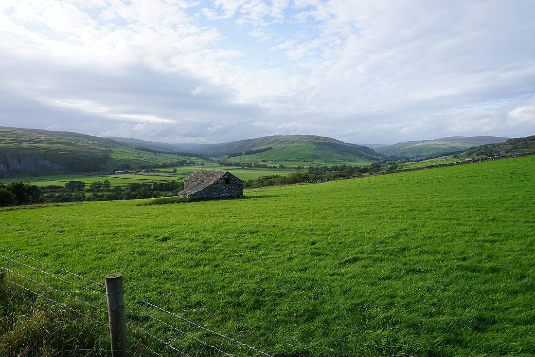
Past Bare House
On the path across Downs Pasture
Looking back across Downs Pasture to Bare House and High Barn
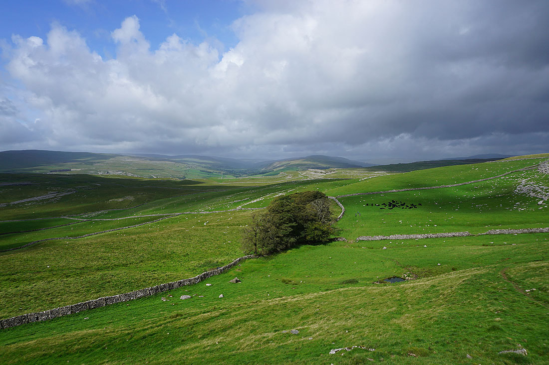
On the path across New Pasture Edge
Cracoe Fell and Threshfield Moor from New Pasture Edge
Approaching the hamlet of Yarnbury
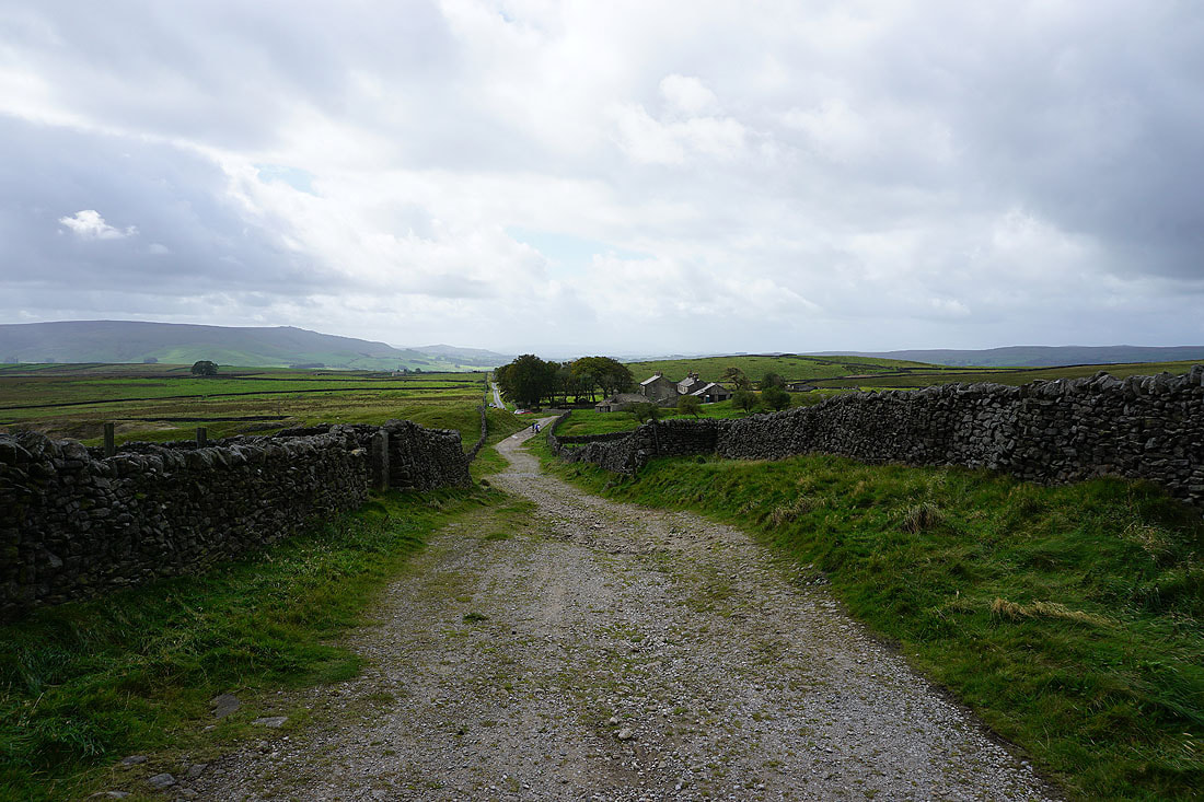
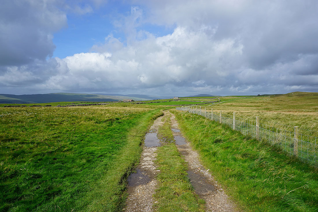
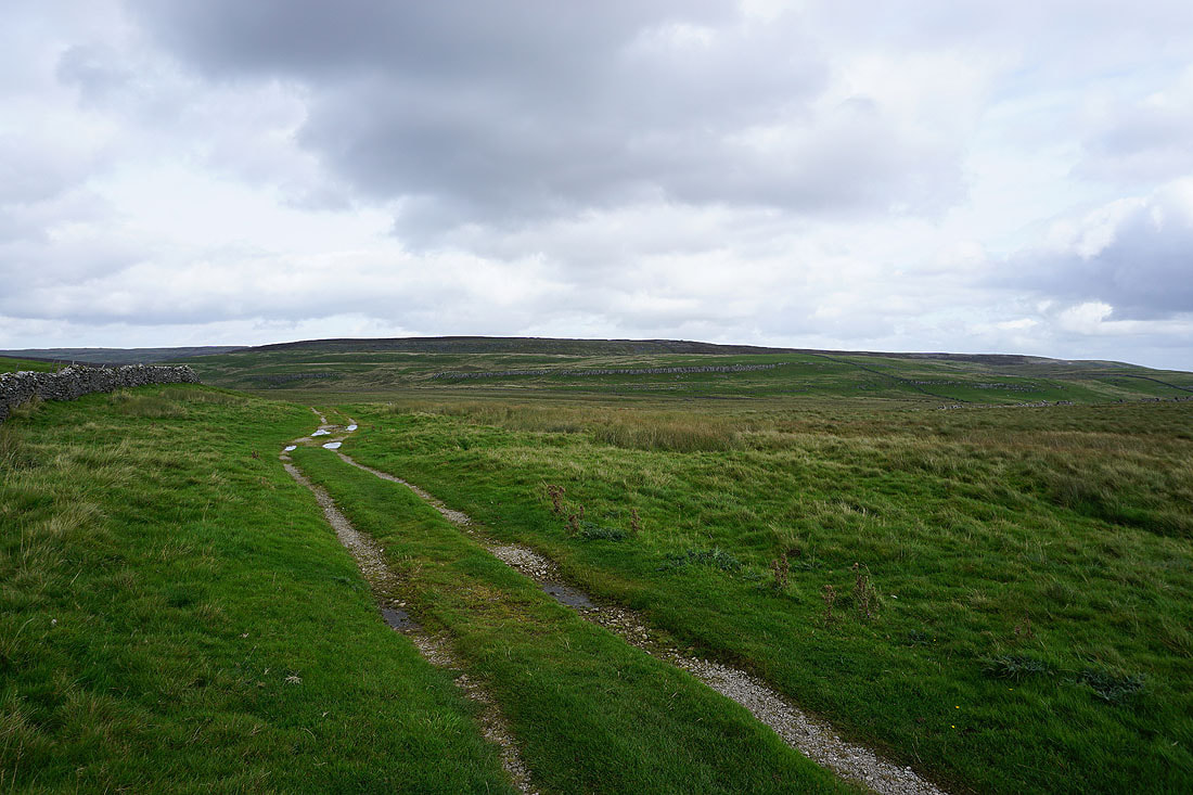
Looking back to Yarnbury as I take the track of Old Moor Lane up onto Grassington Moor
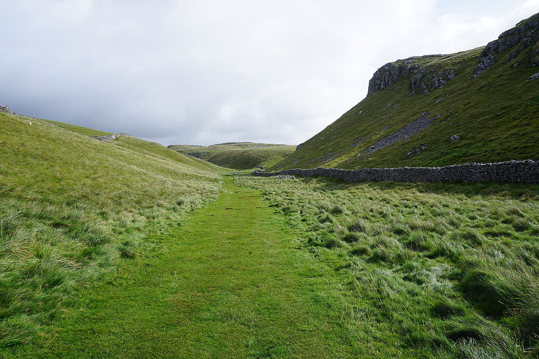
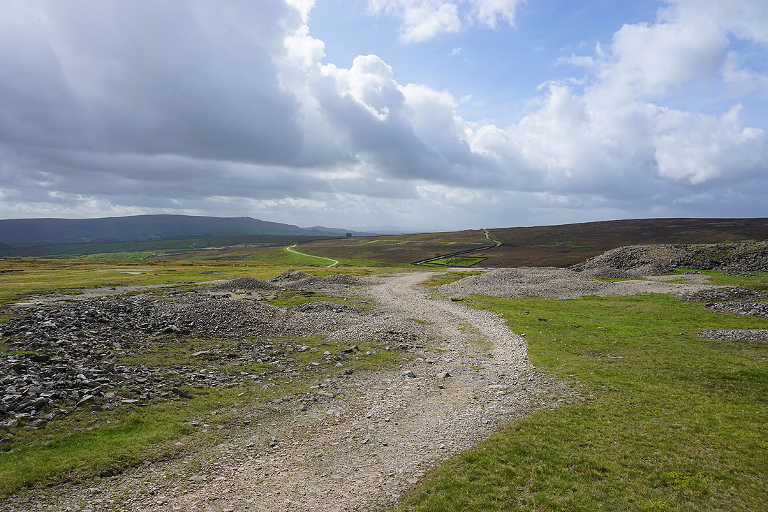
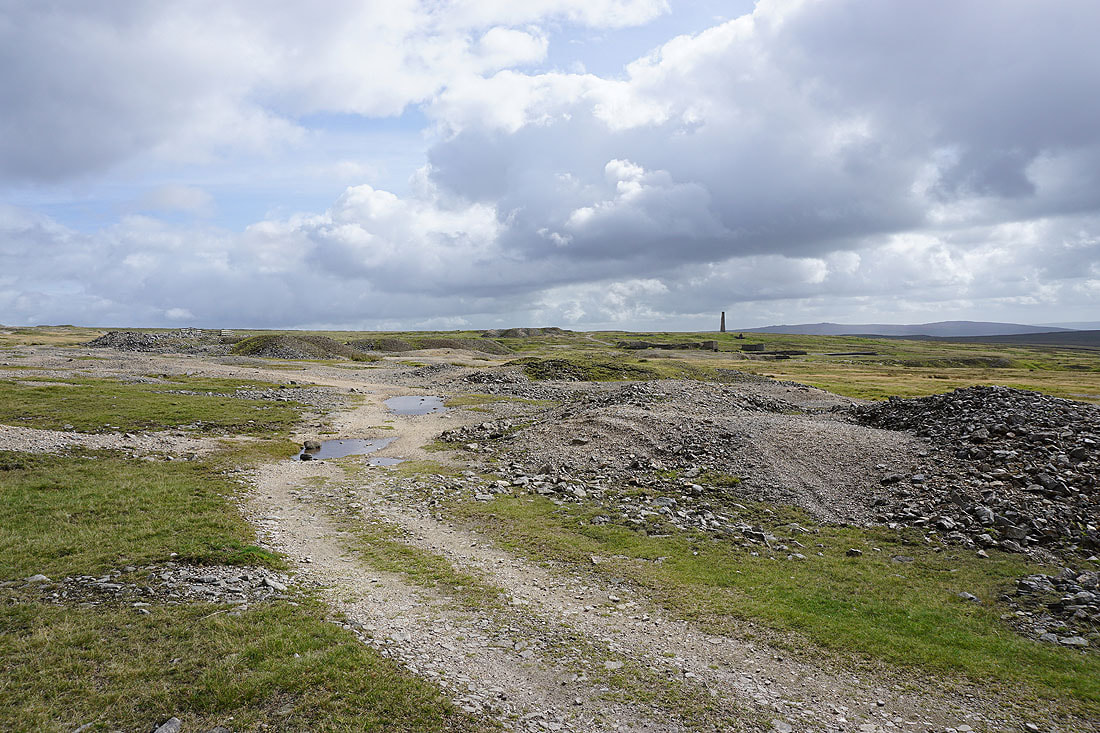
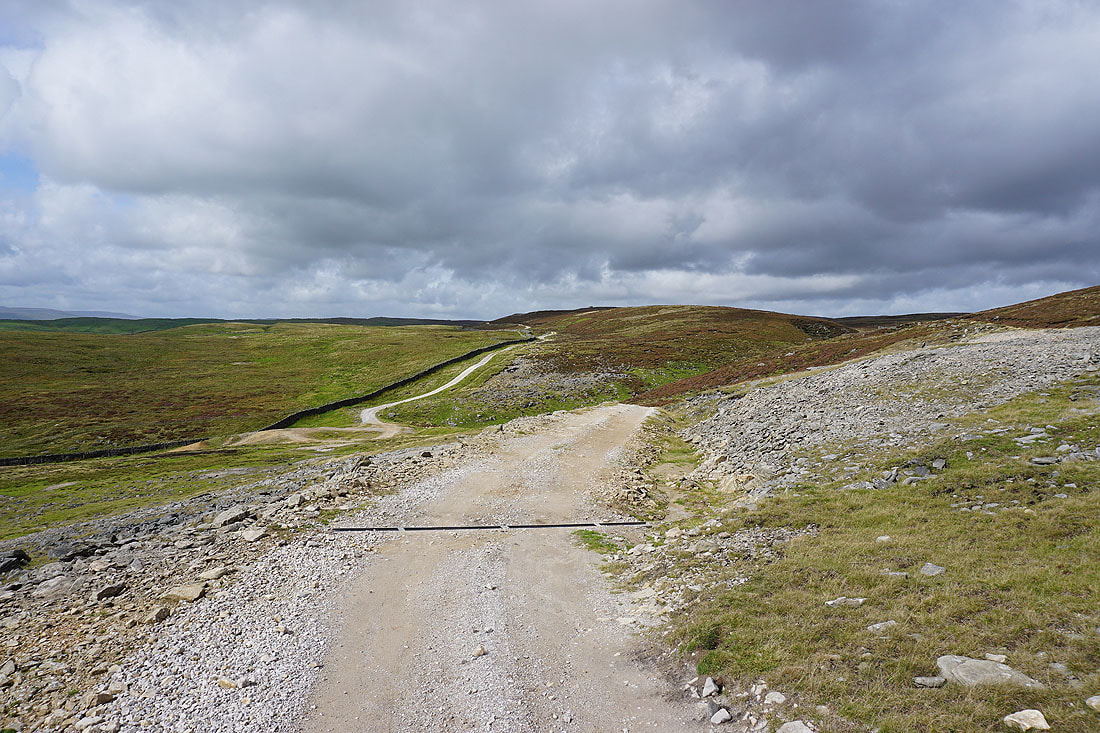
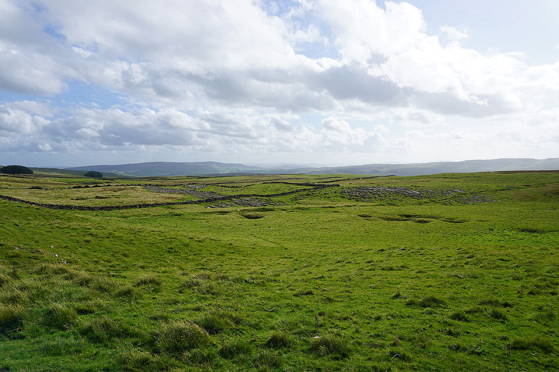
The track takes me up to the ruins of the Grassington Lead Mines........
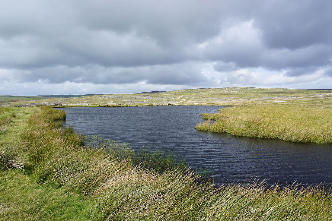
Coalgrove Beck Reservoir
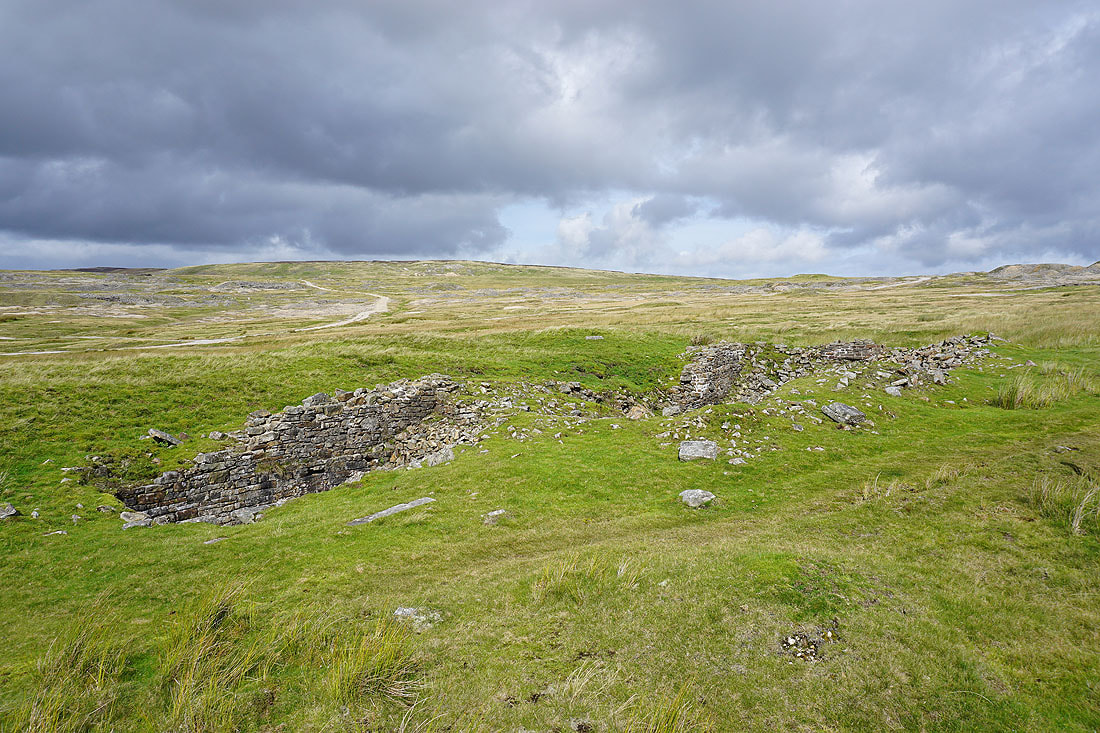
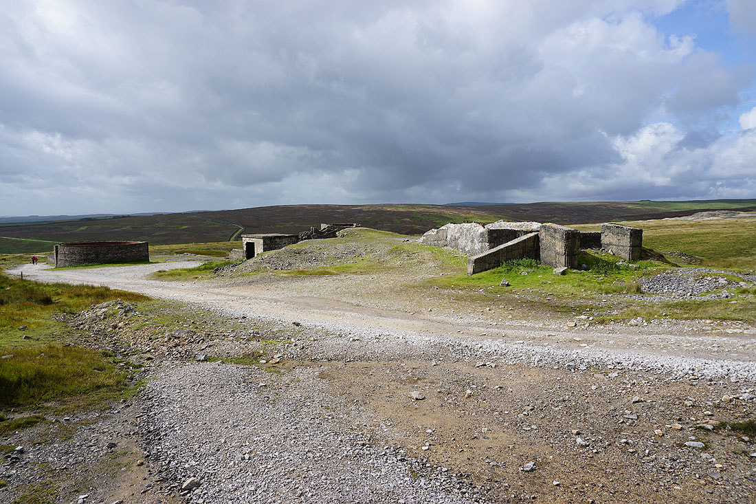
The ruins of the High Winding House
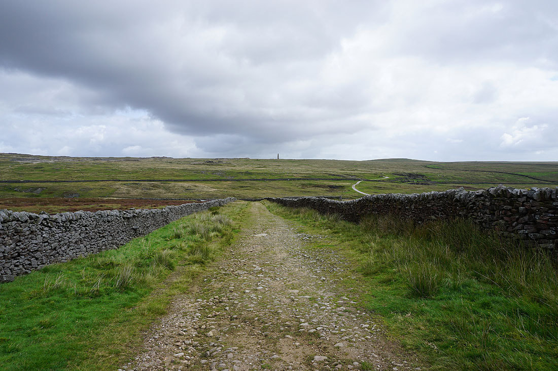
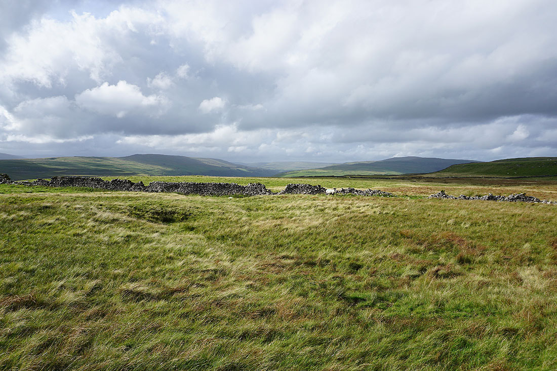
More disused mines as I follow the track up onto Grassington Moor....
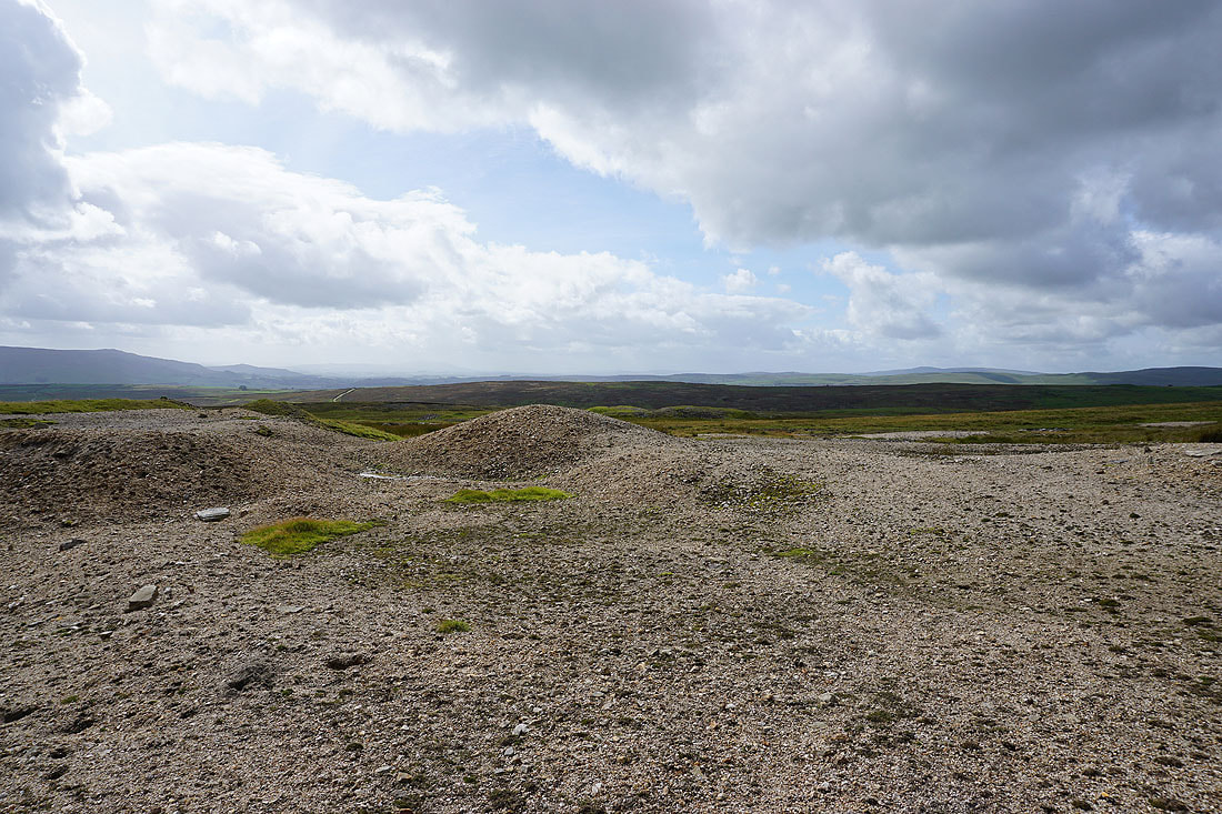
The lead in the soil that's been left behind from the mining means that nothing can grow. It creates a bleak and stark landscape.
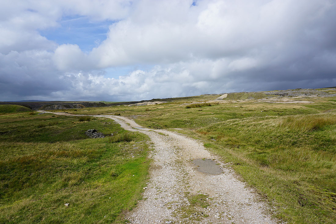
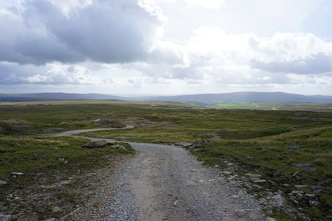
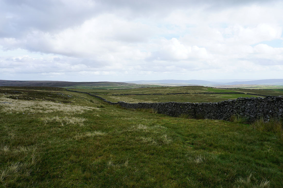
Following the track to Black Edge
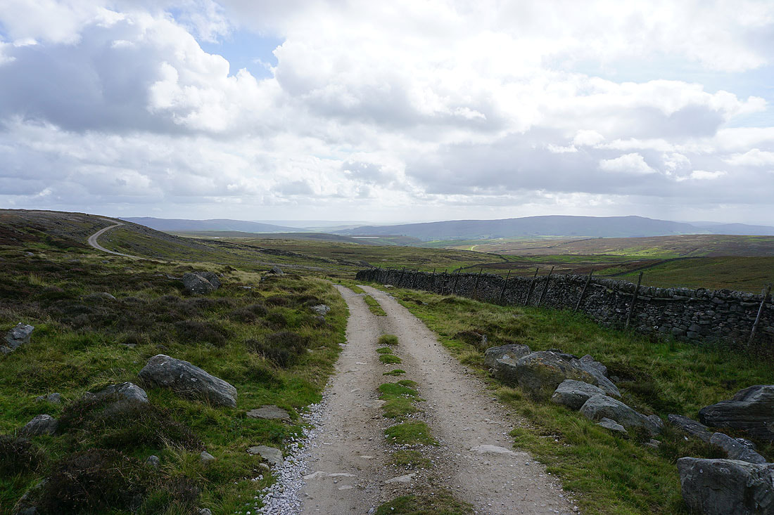
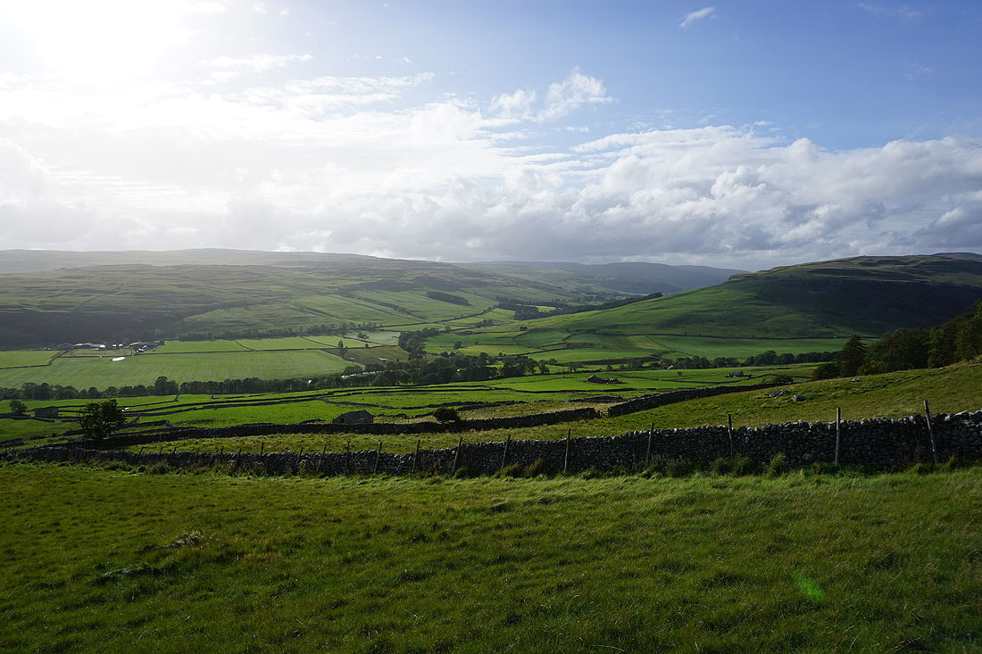
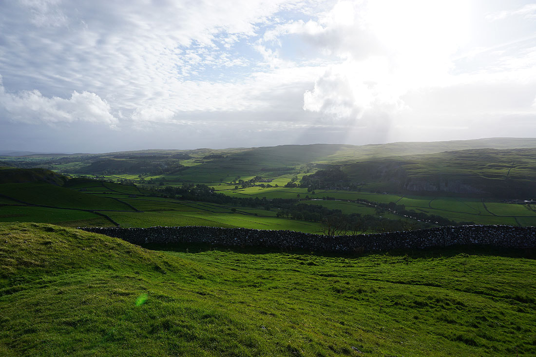
Looking back down Wharfedale with Cracoe Fell on the right, from the track beneath Black Edge
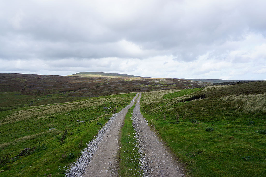
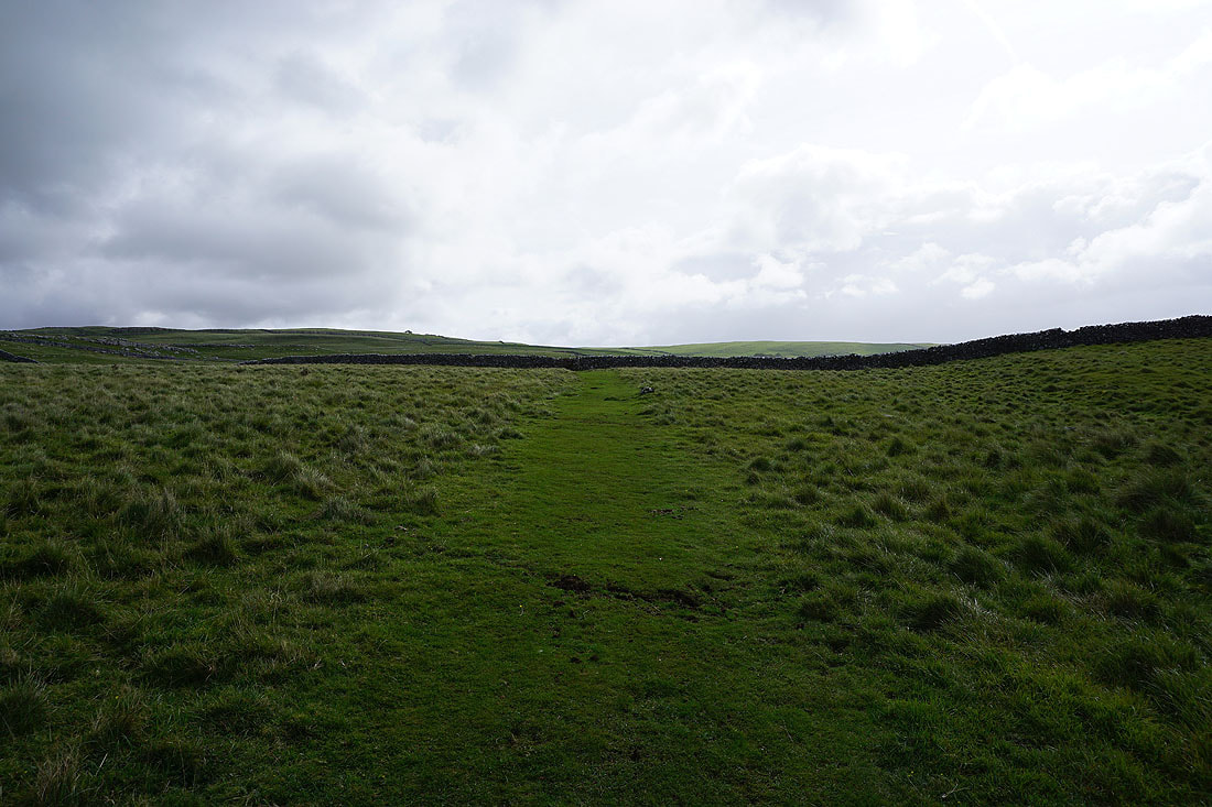
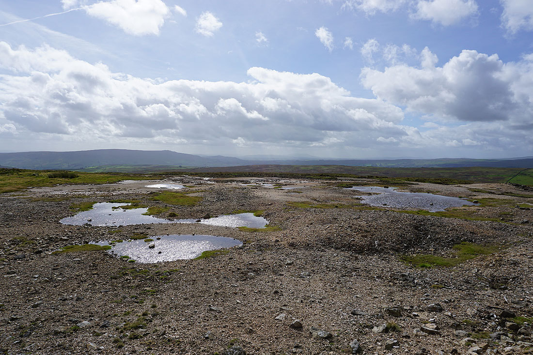
Approaching Mossdale
Heading for Kelber Gate
Looking back to Mossdale Scar with Black Edge above
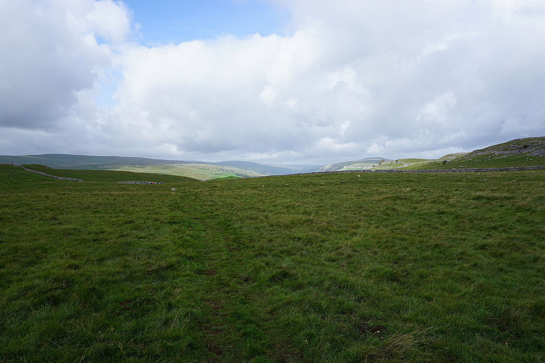
The fells around Littondale and Wharfedale come into view as I reach Kelber Gate
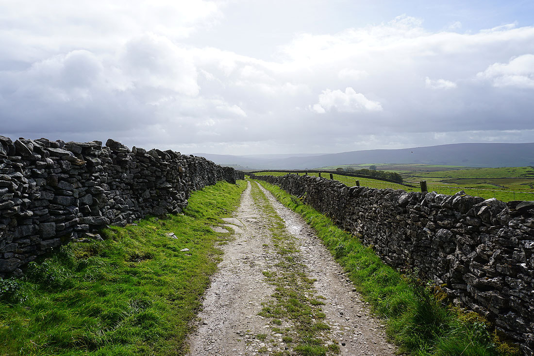
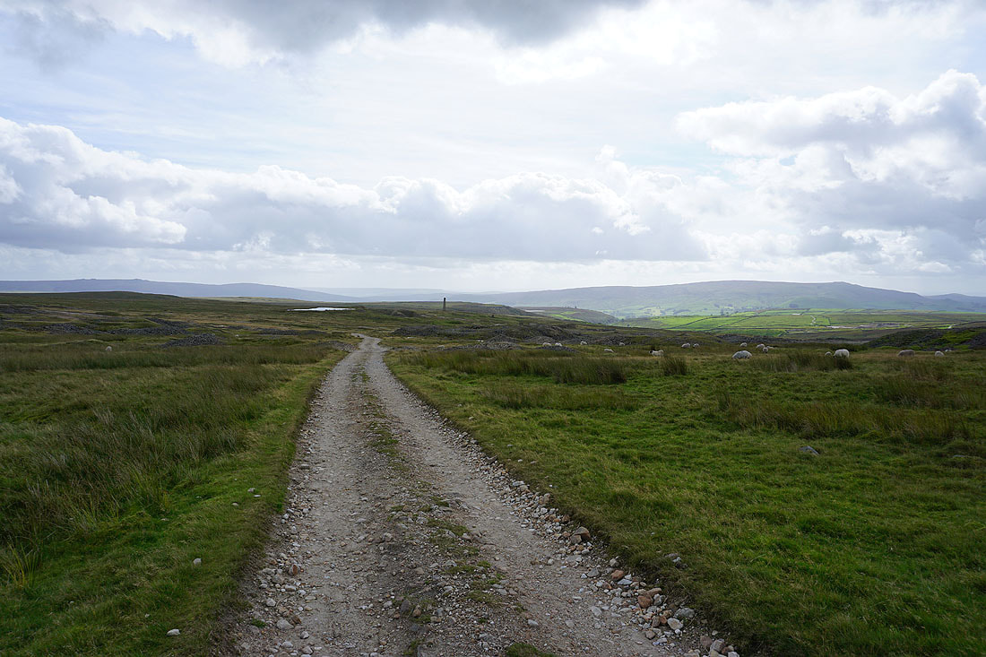
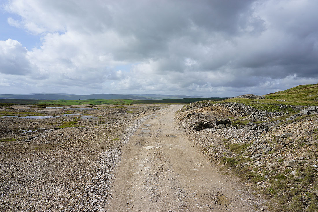
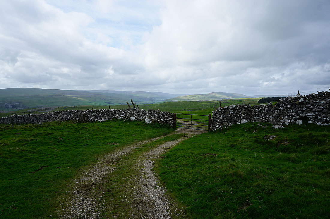
Heading down the track of Bycliffe Road
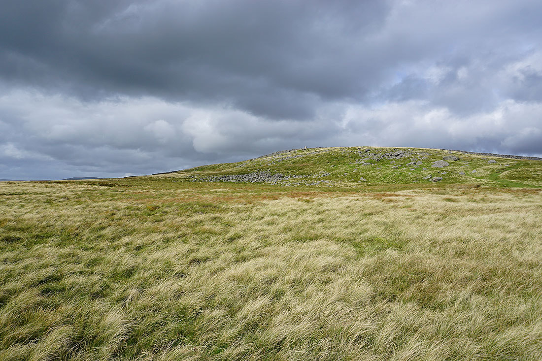
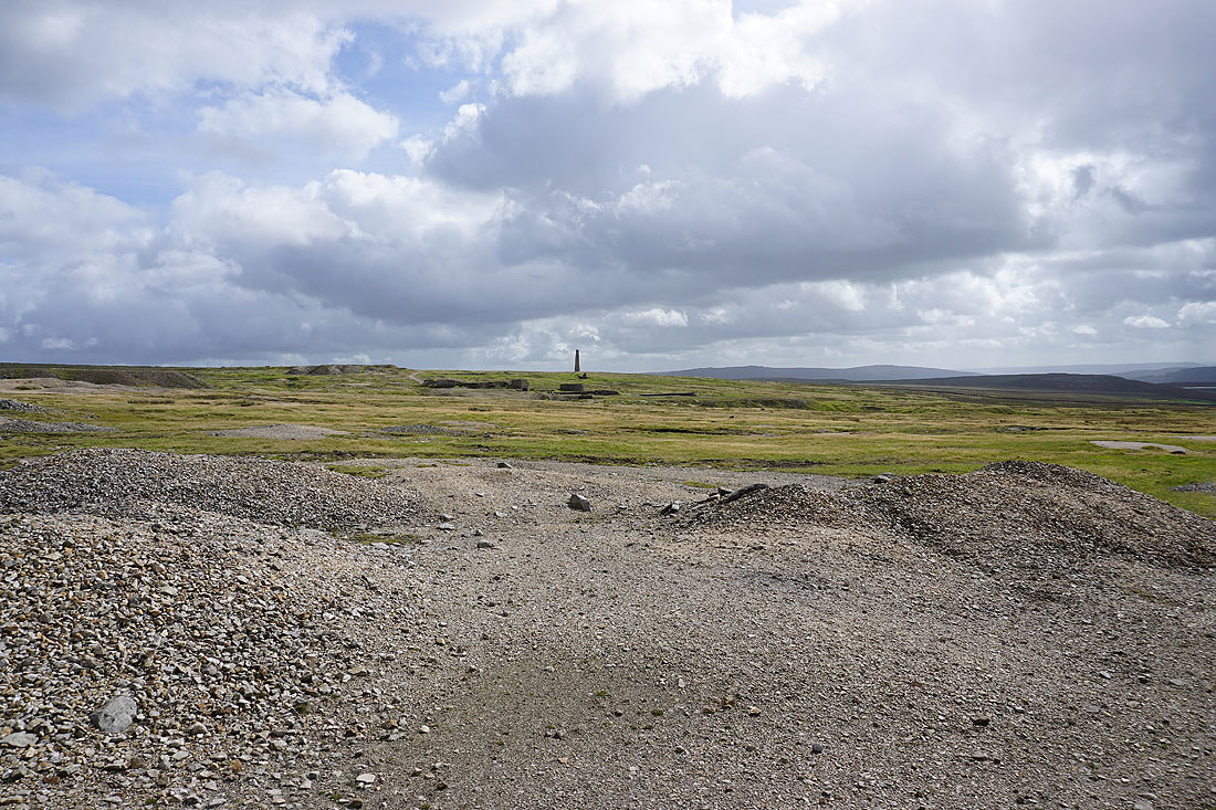
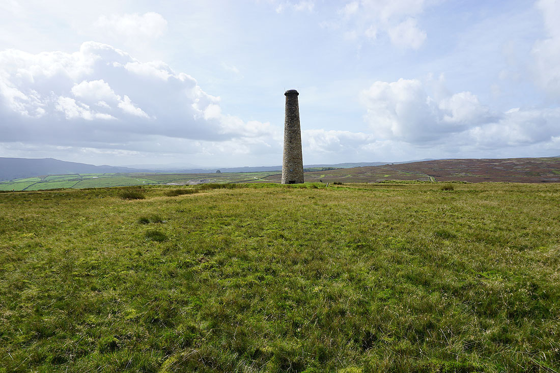
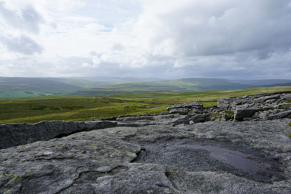
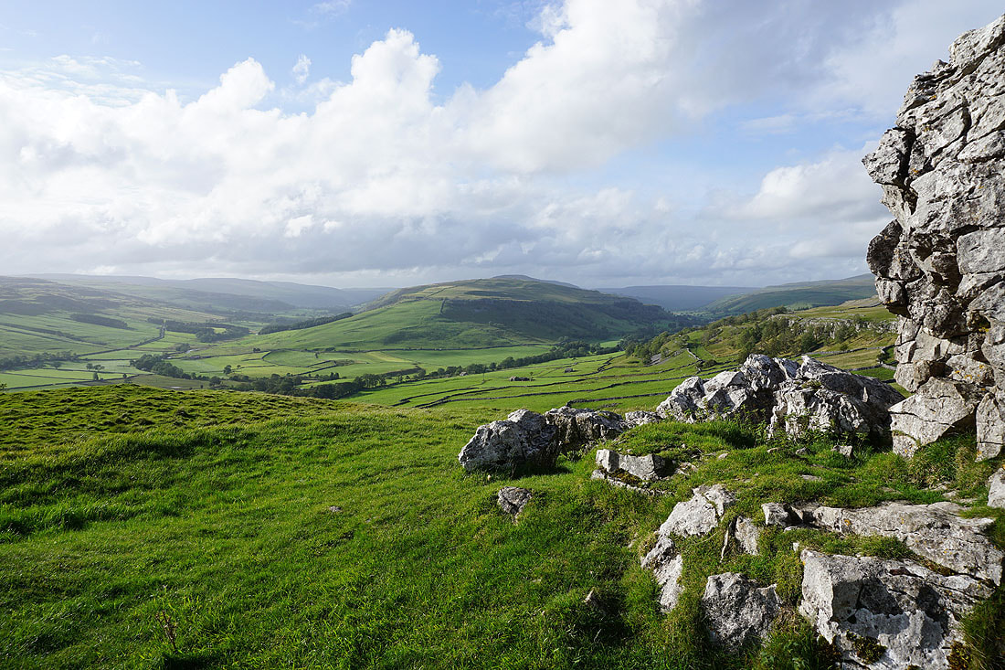
The trig point at Capplestone Gate appears above
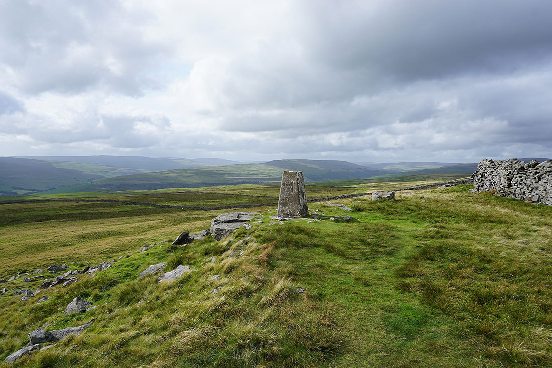
Fountains Fell, Darnbrook Fell, Plover Hill and Old Cote Moor Top from the trig point at Capplestone Gate
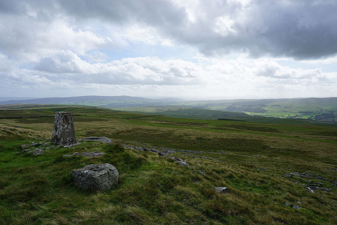
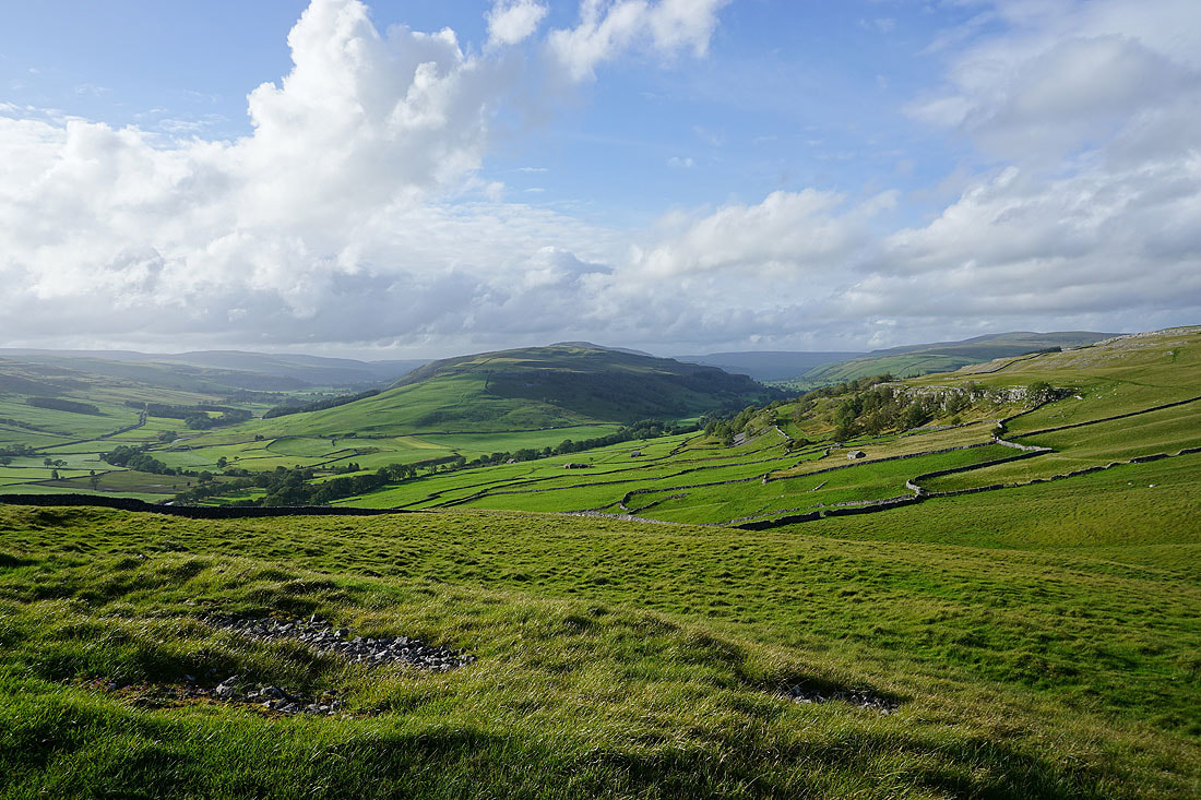
Looking across Wharfedale to Cracoe Fell and Threshfield Moor
and to Threshfield Moor, Malham Moor and Kilnsey Moor
Old Cote Moor Top, Yockenthwaite Moor and Buckden Pike
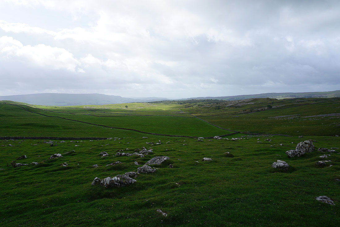
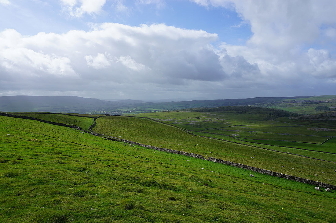
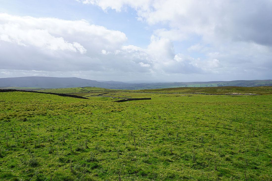
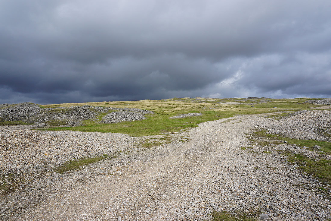
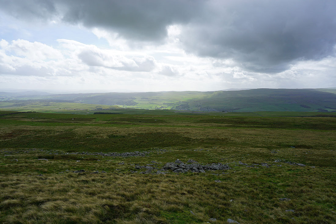
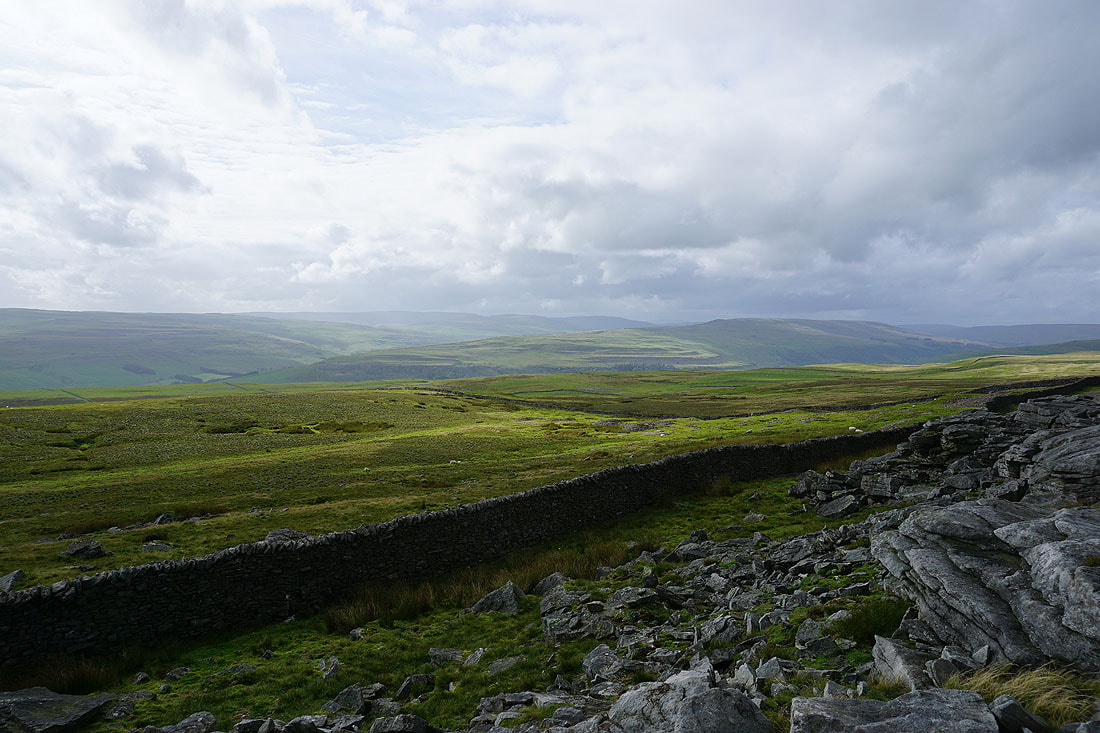
The moorland of Black Edge with Barden Fell in the distance
The lengthening shadows highlight the limestone scars on the sides of the fells around Littondale and Wharfedale..
Cracoe Fell and Threshfield Moor..
..and Old Cote Moor Top, Yockenthwaite Moor and Buckden Pike from the path across New Close Allotments
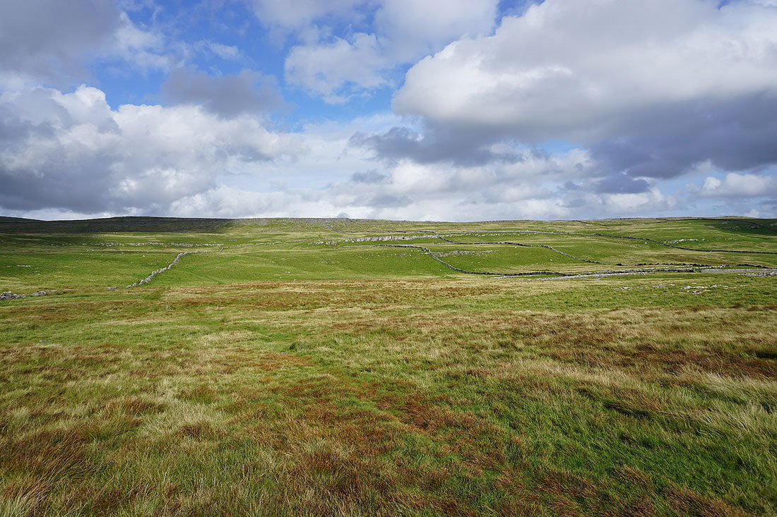
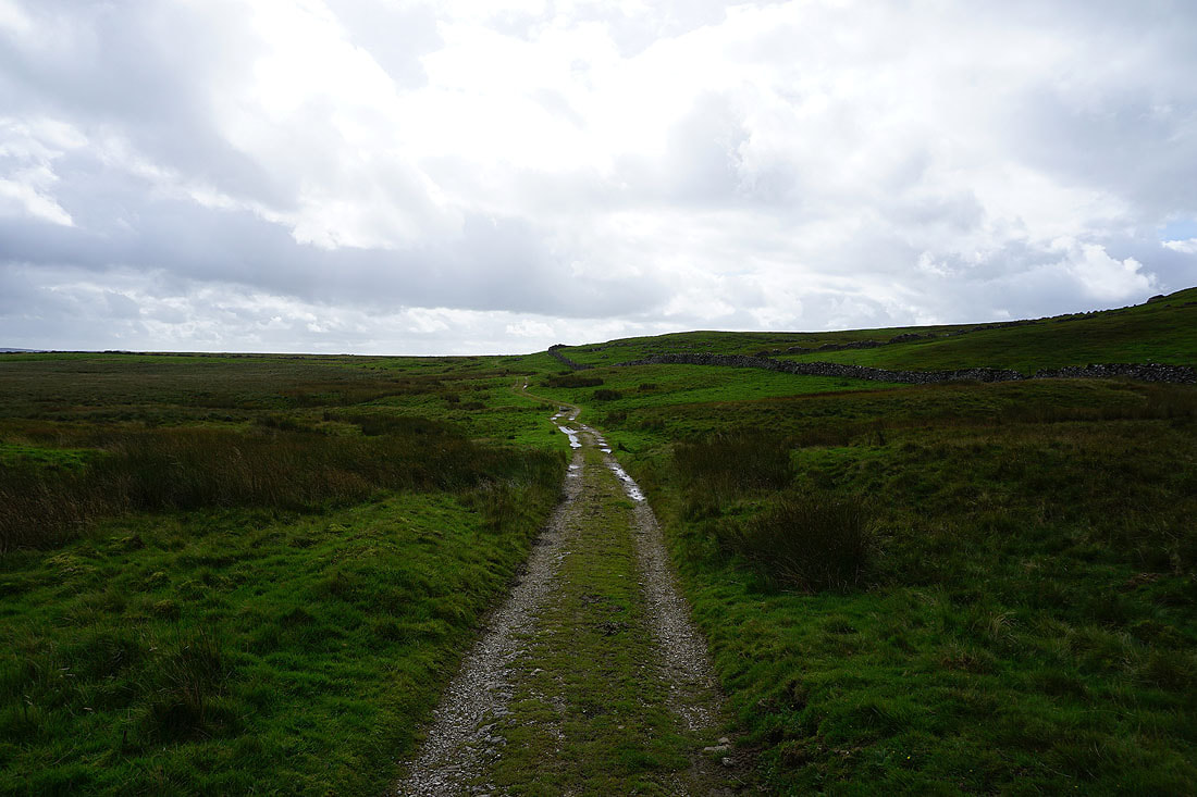
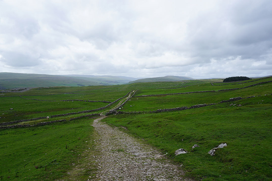
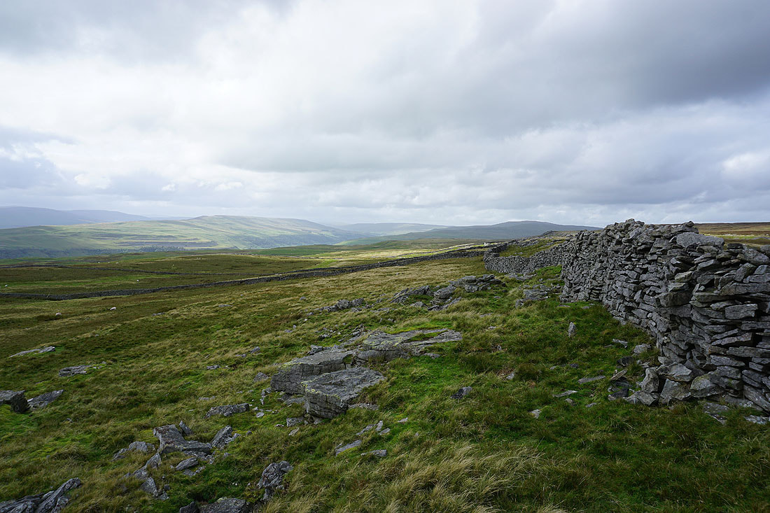
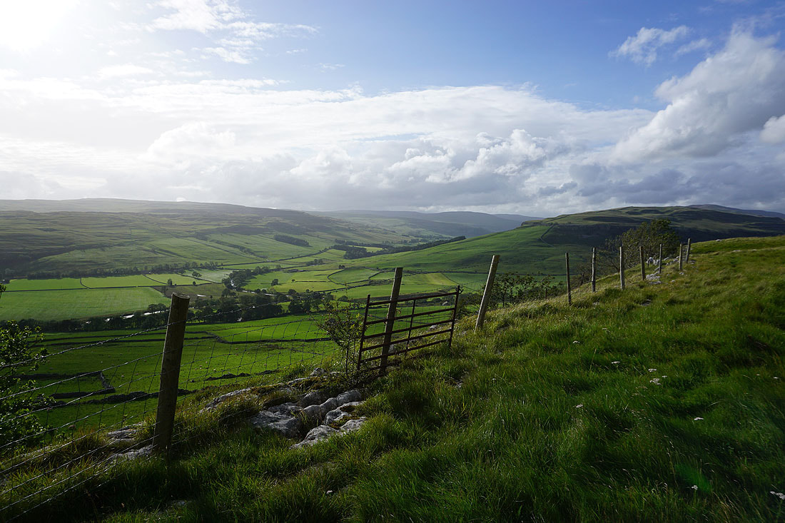
Looking back up to the gritstone edge of Capplestone Gate above the limestone moorland of New Close Allotments
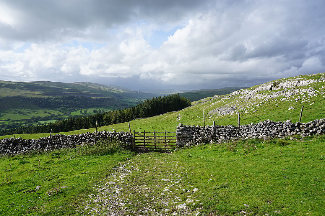
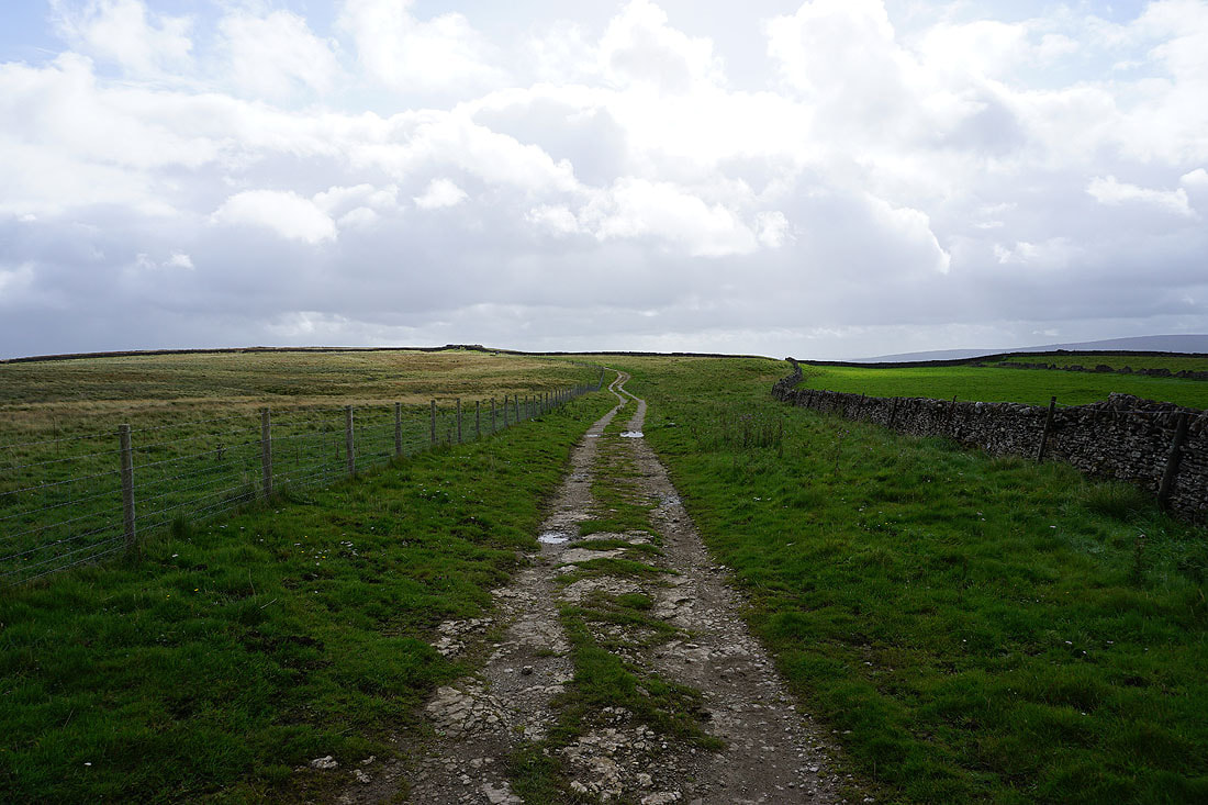
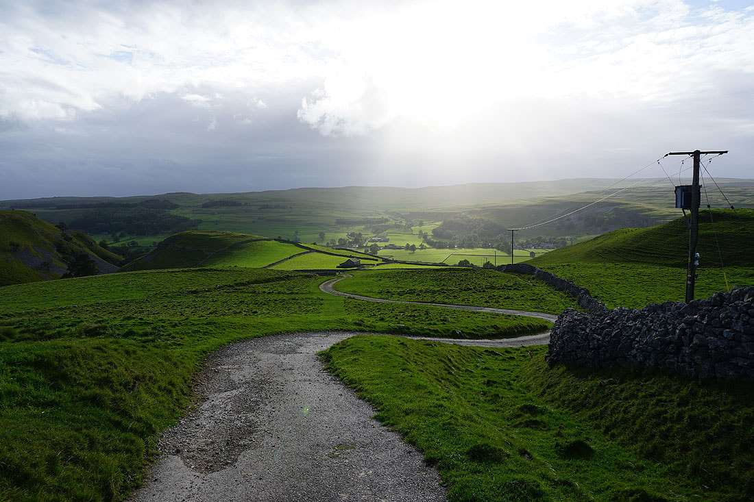
Wharfedale as I reach the track of Highgate Leys Lane and the trail of the Dales Way
Looking up Wharfedale to Yockenthwaite Moor from Swineber Scar
Following the Dales Way south to Conistone Pie
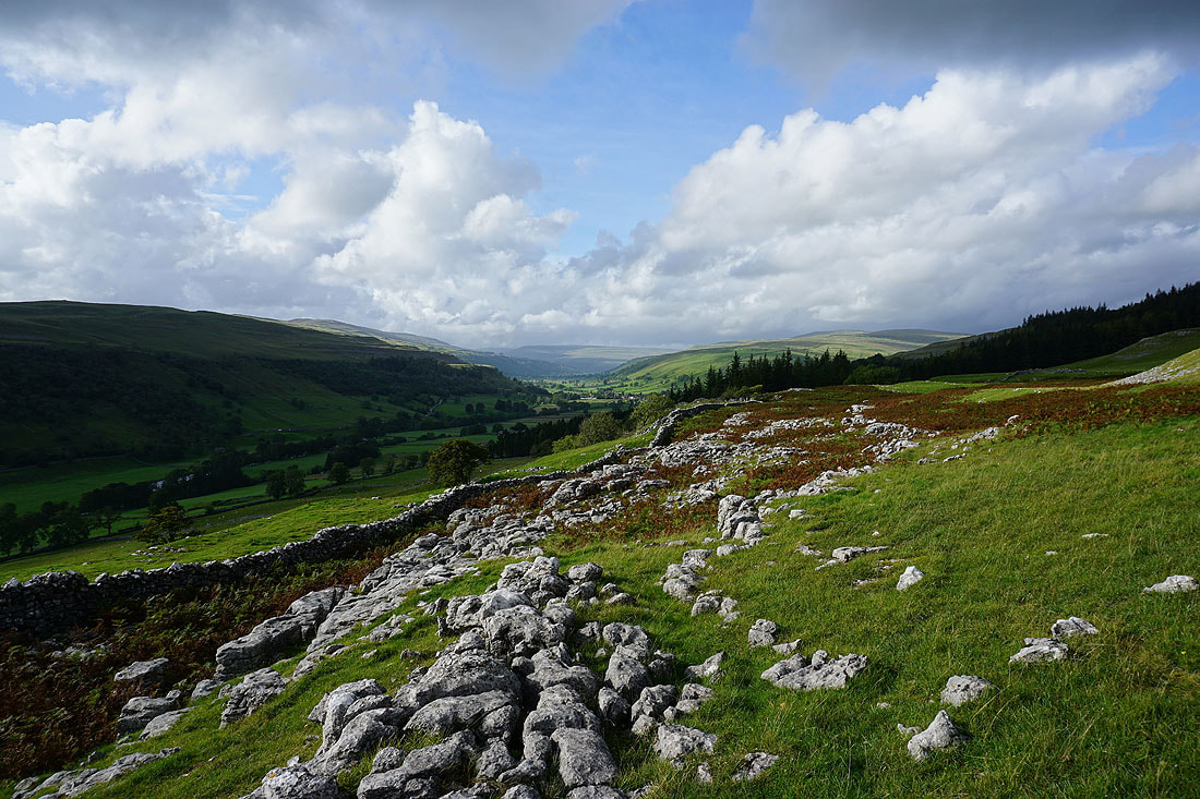
On the way there I have great views of the countryside around where Littondale and Wharfedale meet....
Littondale, Old Cote Moor Top and Wharfedale from Conistone Pie..
Malham Moor, Kilnsey and Kilnsey Crag
Looking back to Conistone Pie as I follow the Dales Way south
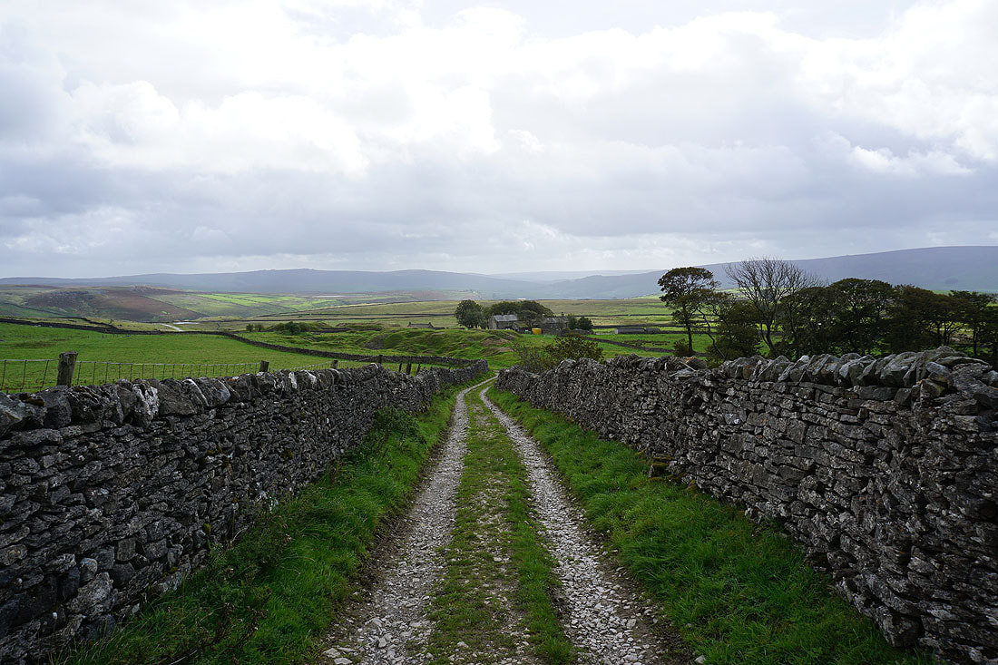
Heading down the track of Scot Gate Lane to Conistone
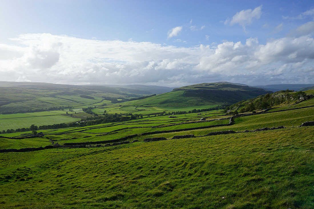
Wharfedale, Littondale and Hawkswick Moor
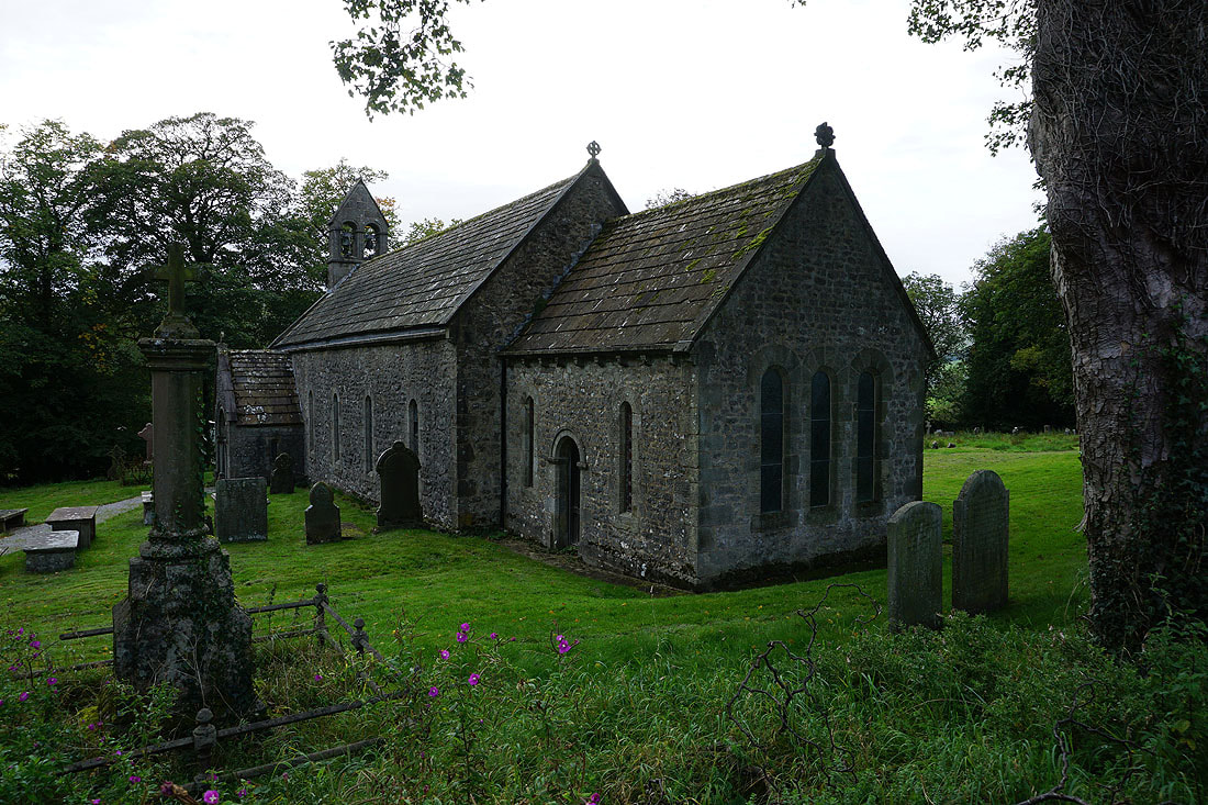
The church of St. Mary's in Conistone
Back in Conistone