12th September 2021 - Weets Hill
Walk Details
Distance walked: 7.6 miles
Total ascent: 1139 ft
OS map used: OL21 - South Pennines
Time taken: 4 hrs
Route description: Foulridge-Hey-Hey Fold-Booth House Farm-High Lane-Copy Nook-Lister Well Road-Weets Hill-Weets House Farm-Gisburn Old Road-Pendle Way-Blacko Hill Side Farm-Burnt House Farm-Barnoldswick Road-Slipper Hill Reservoir-Reedymoor Lane-Foulridge Lower Reservoir-B6251-Foulridge
The weather wasn't up to much this weekend and the best of it was today, though with overcast skies it wasn't worth going anywhere, especially when I've got some time off work this week and there are some fine days forecast. I set off from home for Weets Hill around midday and spent a pleasant enough few hours walking through the Pendle countryside. Although there was no sunshine to speak of, the winds were light, and with great visibility there were plenty of long distance views to take in.
Setting off from home I walked to the western end of Station Road and took the footpath straight up the hill and across fields to the corner of Whitemoor Road. Here I turned right and took a lane past some houses, then a footpath on the right down to Hey Fold. The next bit was a little complicated as I took the footpath right at Hey Fold, then left across the crest of a little hill and past Hullet Hall down to County Brook Lane. I briefly walked down the lane, took a footpath on the left through a patch of woodland and across a bridge over County Brook, before resuming following footpaths north across fields past Wood End Farm to Booth House Farm, where I took a footpath up a field to High Lane. I then walked a short distance north along High Lane, then took a track on the left and followed it uphill past Copy Nook to the bridleway of Lister Well Road. Almost opposite where I joined Lister Well Road is a gate onto access land. I went through and followed a path uphill to a small wood and then by a wall to the top of Weets Hill. After taking in the view I took the Pendle Way to reach Weets House Farm at the top of Gisburn Old Road. I then walked down Gisburn Old Road until I reached Star Hall Farm where I took the Pendle Way on the right across fields. I left the Pendle Way above Admergill Pasture Cottage for a footpath south by a wall and down to Blacko Hill Side Farm, where I took a footpath south to Burnt House Farm. I then made my way east along a footpath to Barnoldswick Road, which I crossed, and took the footpath opposite down through fields to where it meets the lane by Slipper Hill Reservoir. I then took the footpath round Slipper Hill Reservoir to reach a track past Sand Hall to reach Reedymoor Lane, which I crossed to reach Foulridge Lower Reservoir. After walking north by Foulridge Lower Reservoir I took a ladder stile on the left for a footpath up across fields to the B6251 for a return to Foulridge and home.
Route map
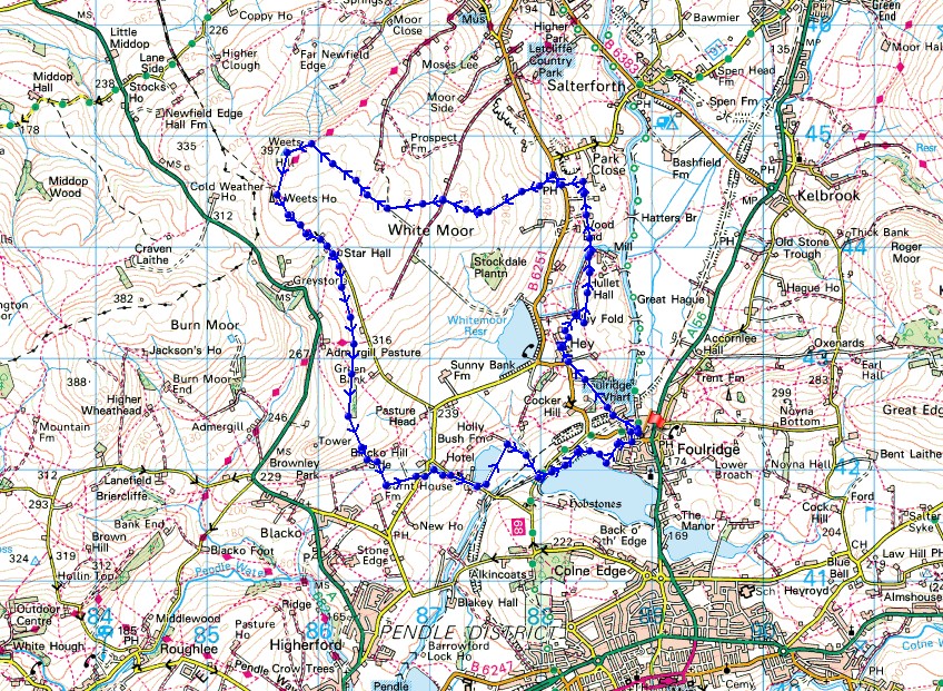
© Crown copyright. All rights reserved. License number PU 100034184.
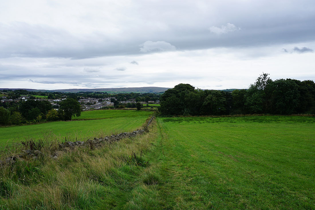
Boulsworth Hill in the distance as I leave Foulridge behind
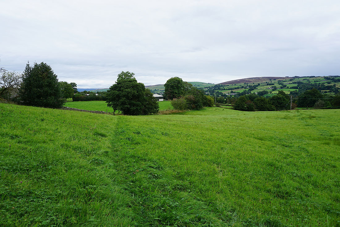
On the path north to County Brook..
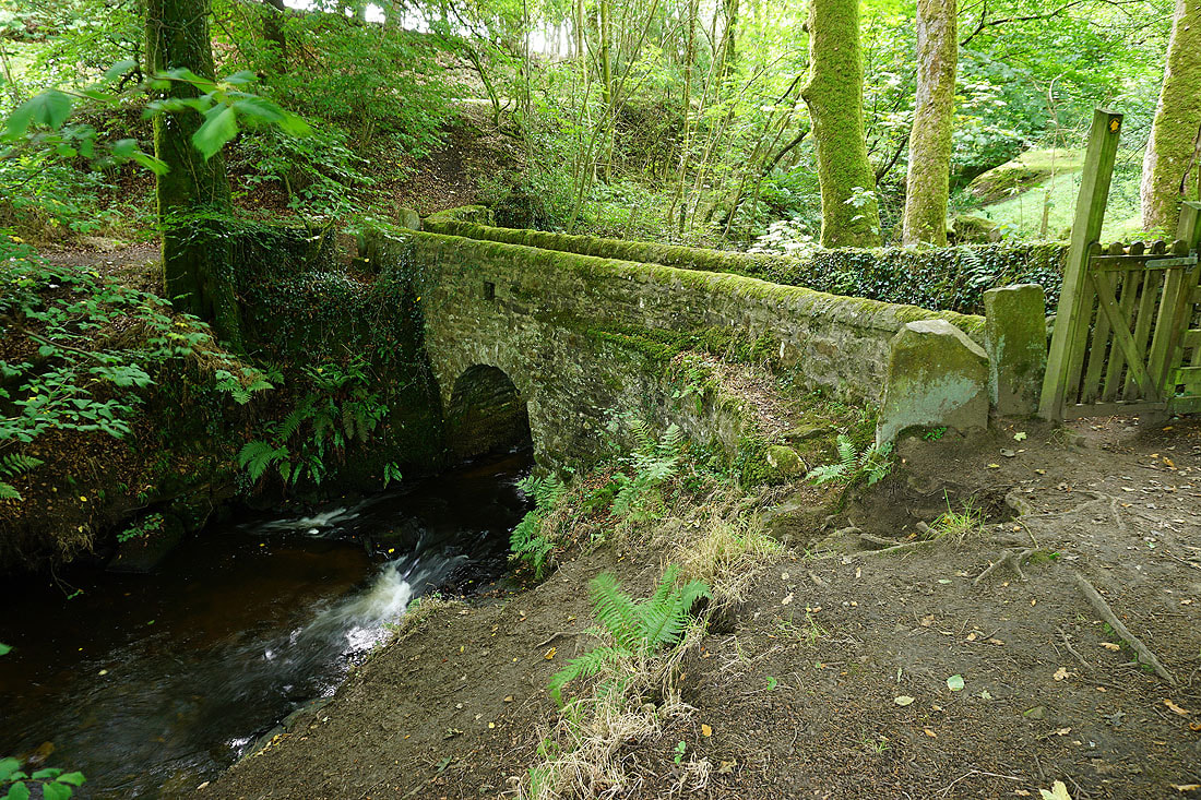
The footbridge over County Brook
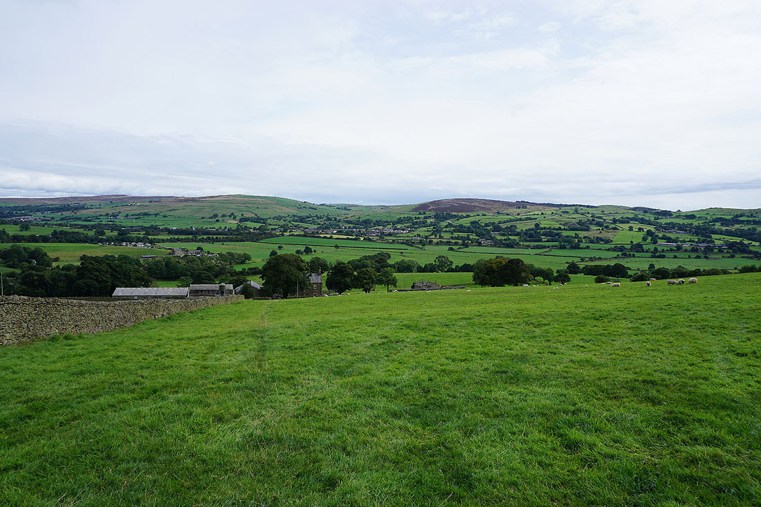
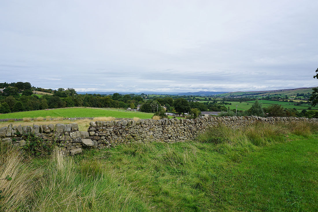
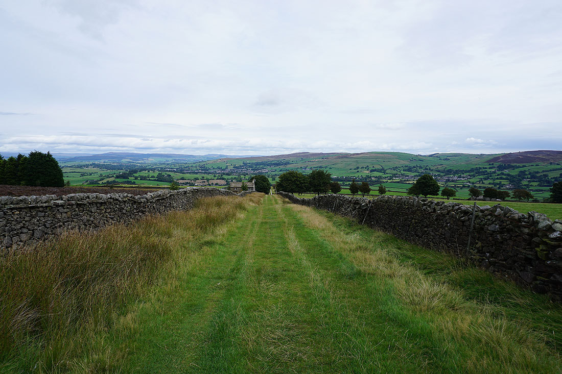
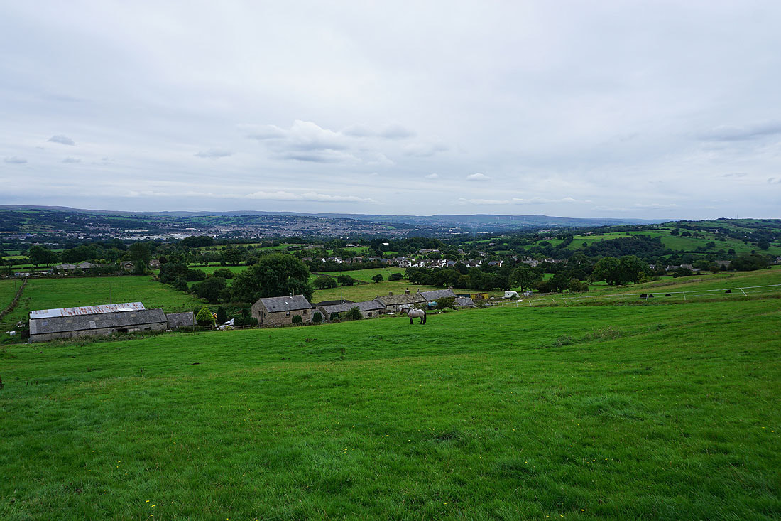
Bleara Moor and Kelbrook Moor as I look back from the path up to High Lane from Booth House Farm
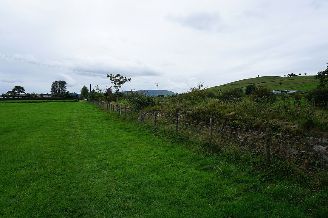
Great Whernside and Barden Moor in the distance from the track..
..up to Lad Lowe Hill
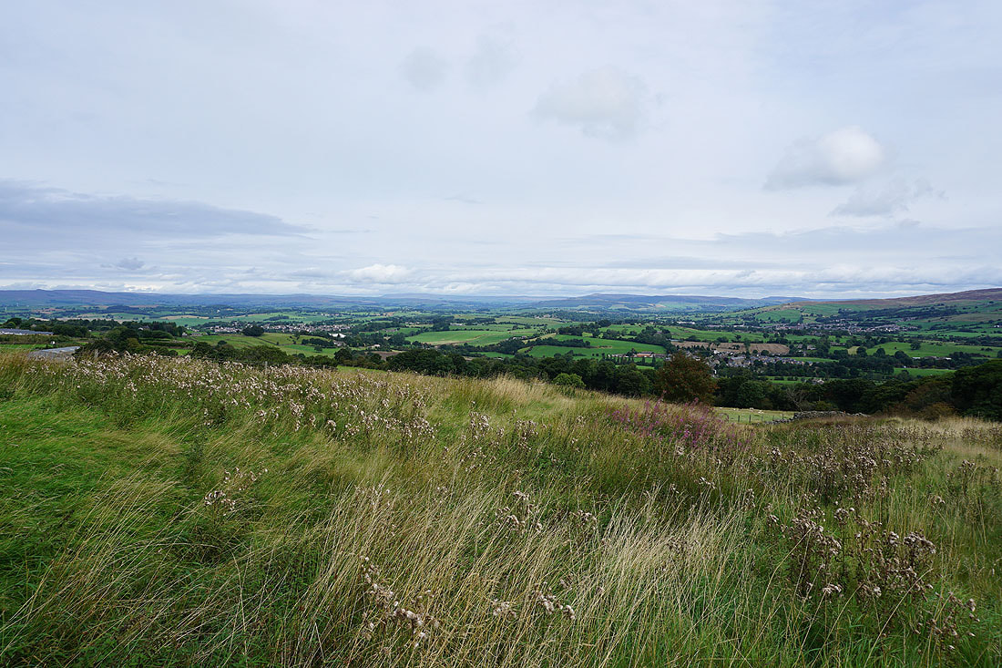
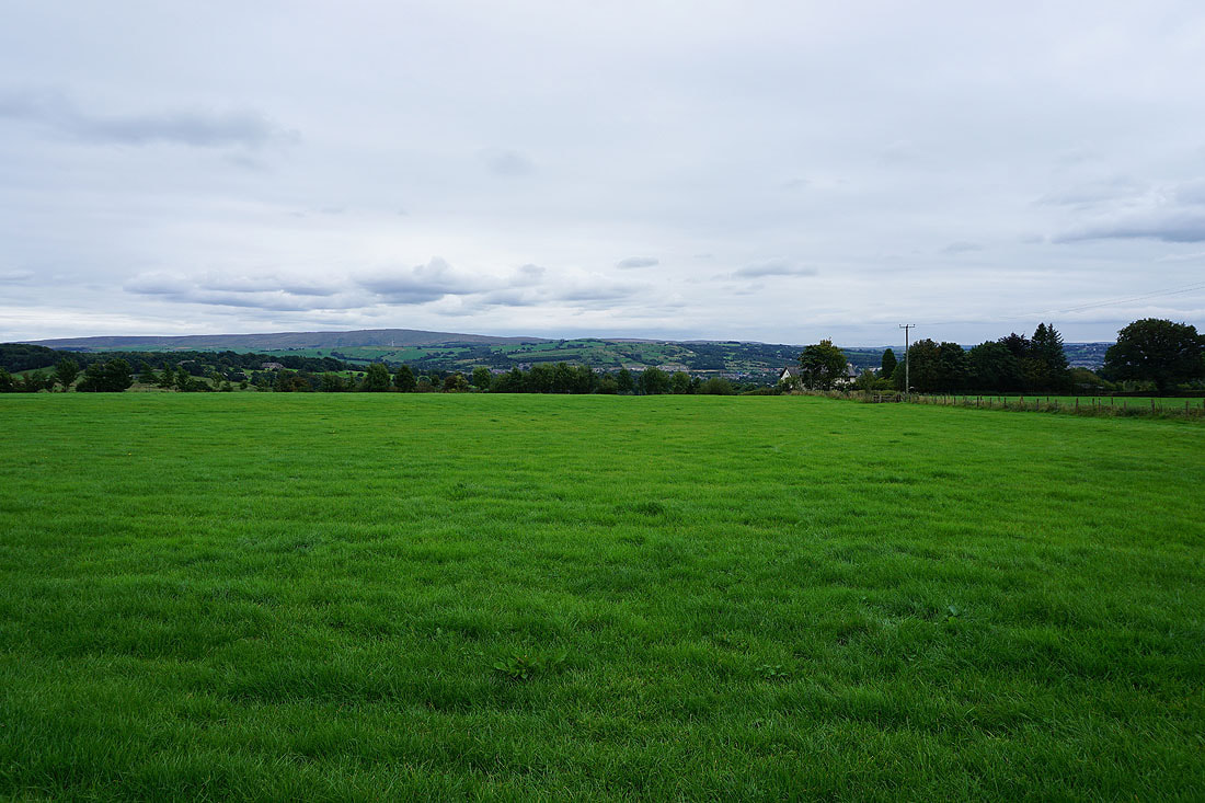
Looking back to Barden Moor, Thornton Moor and Bleara Moor in the distance
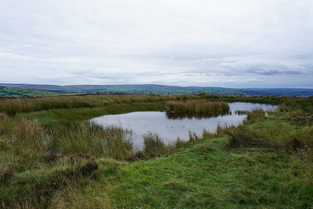
Boulsworth Hill from the pool on Lad Lowe Hill..
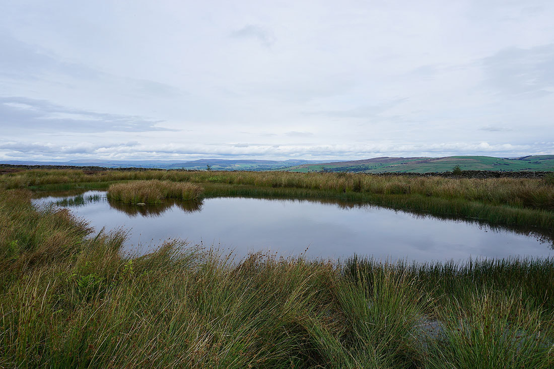
..as well as Great Whernside, Barden Moor, Thornton Moor and Bleara Moor
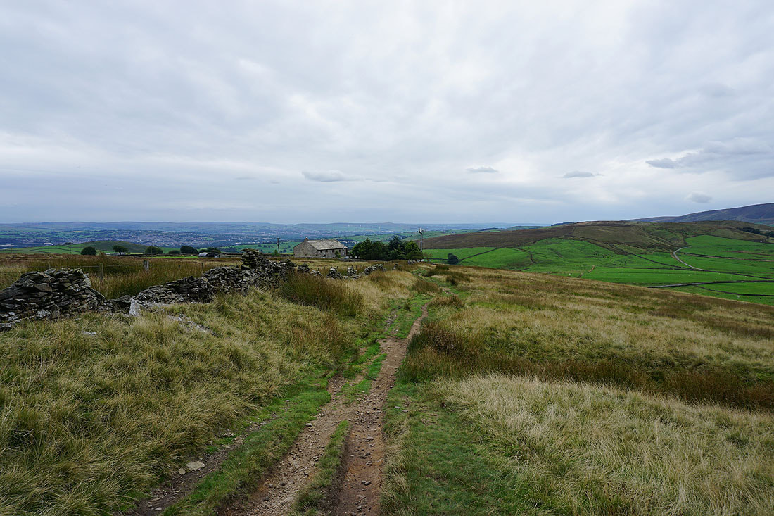
The gate onto access land provides a foreground for a photo looking towards Great Whernside and Barden Moor..
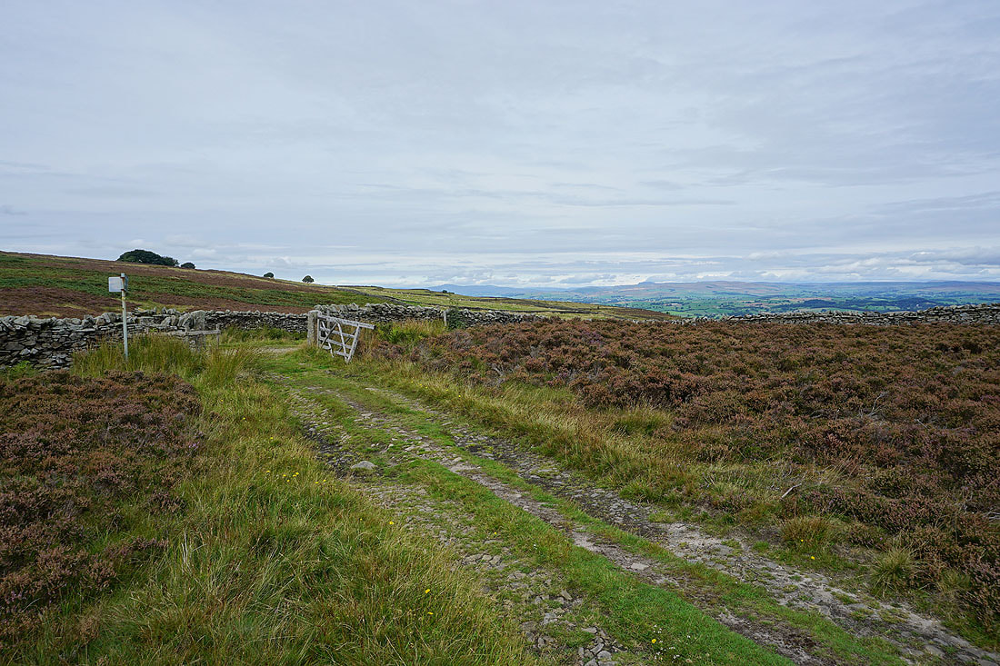
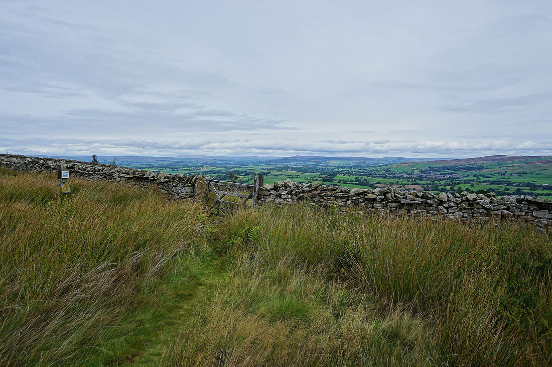
..as does the one onto Lister Well Road for a view towards a distant Ingleborough and Penyghent
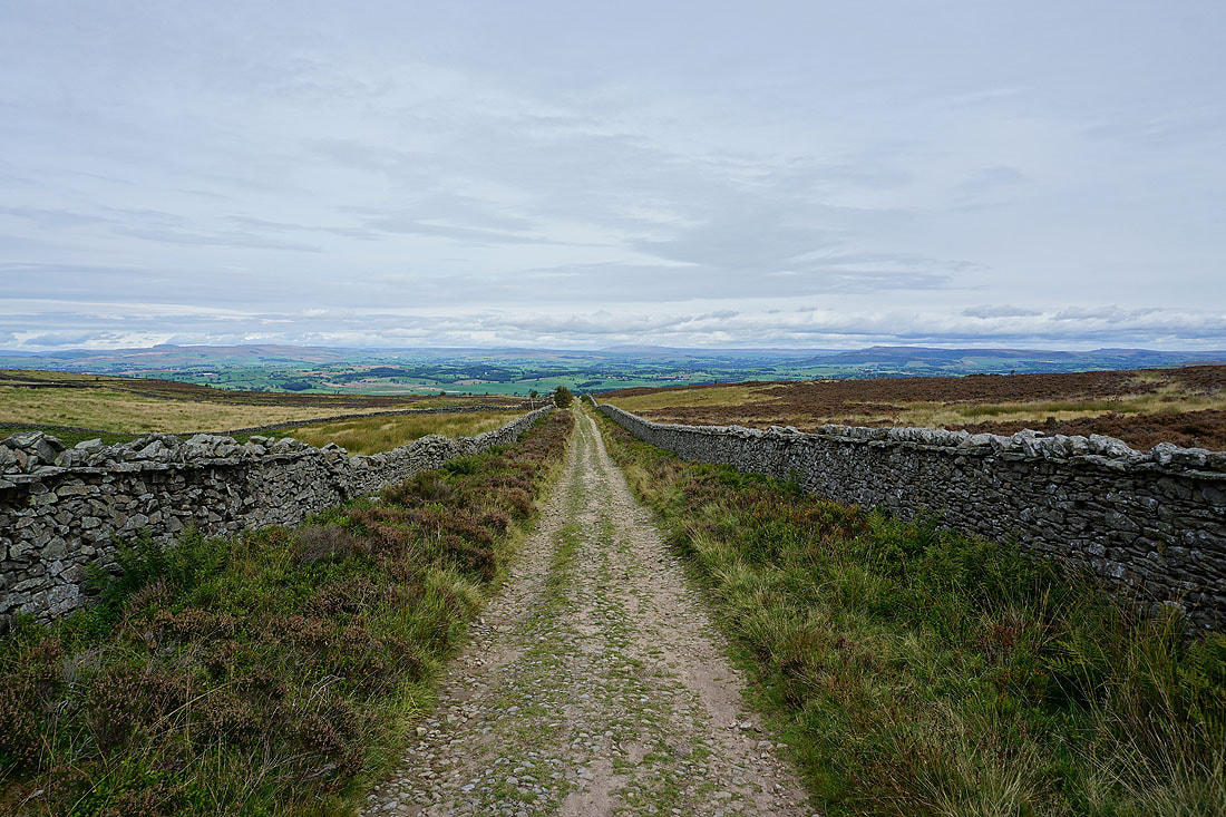
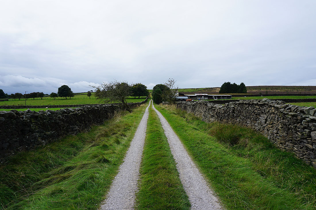
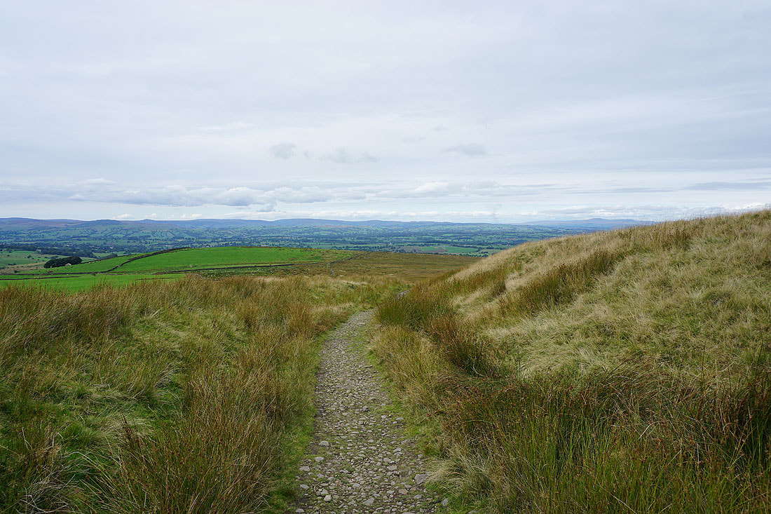
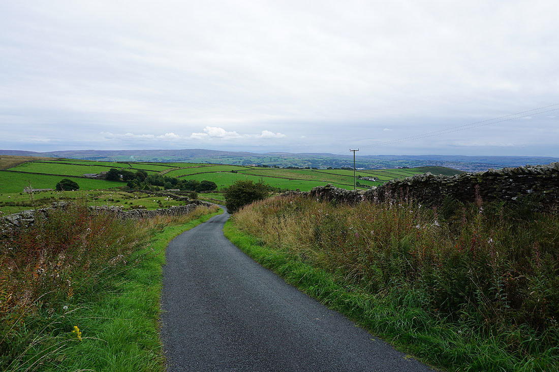
Heading down Lister Well Road
Penyghent and Great Whernside in the distance as I head up access land from Lister Well Road
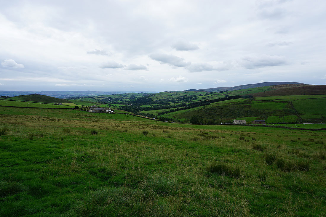
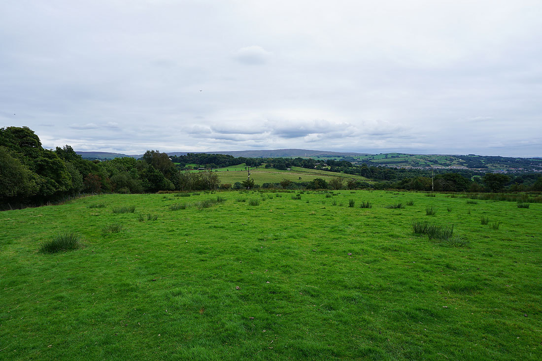
Ickornshaw Moor and Boulsworth Hill to the southeast
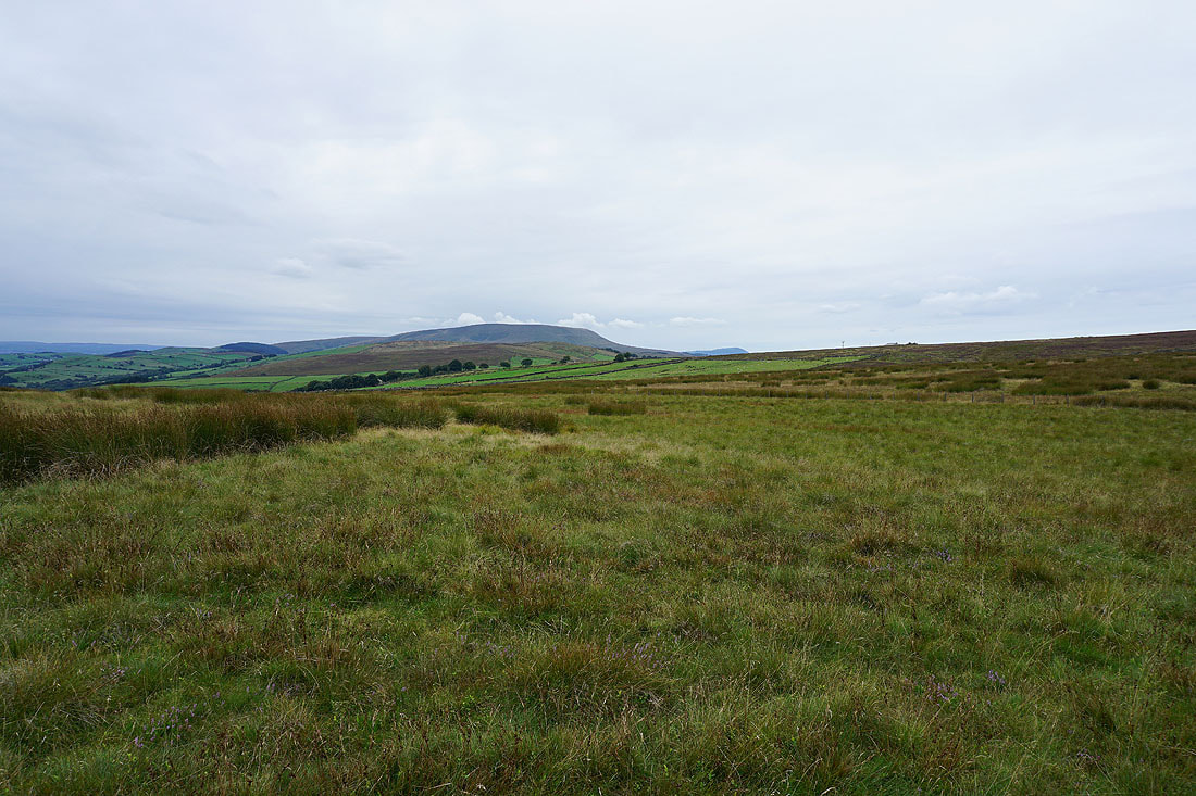
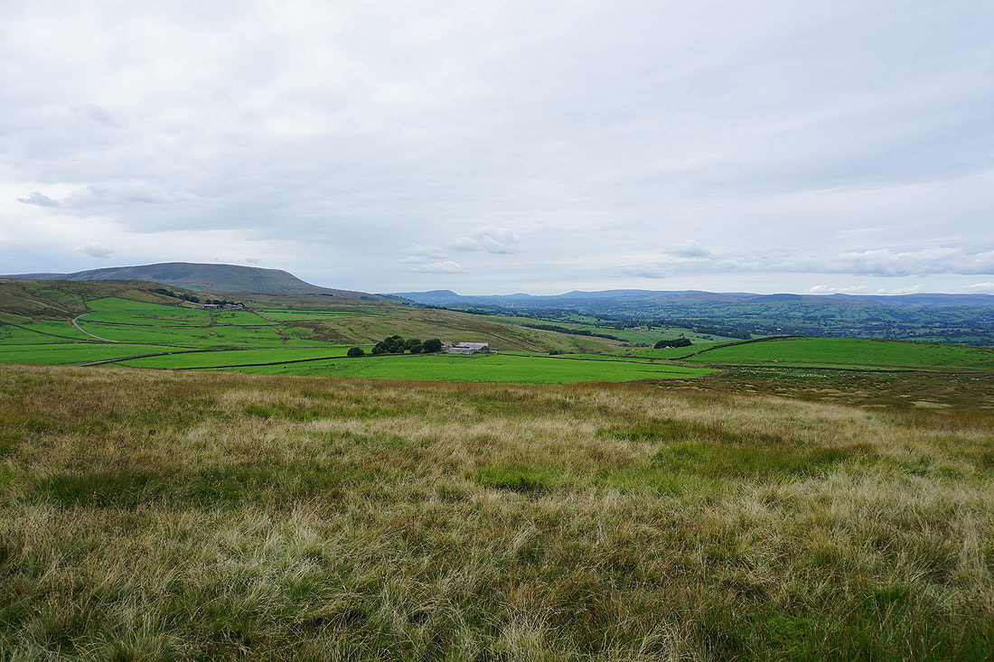
Pendle Hill comes into view
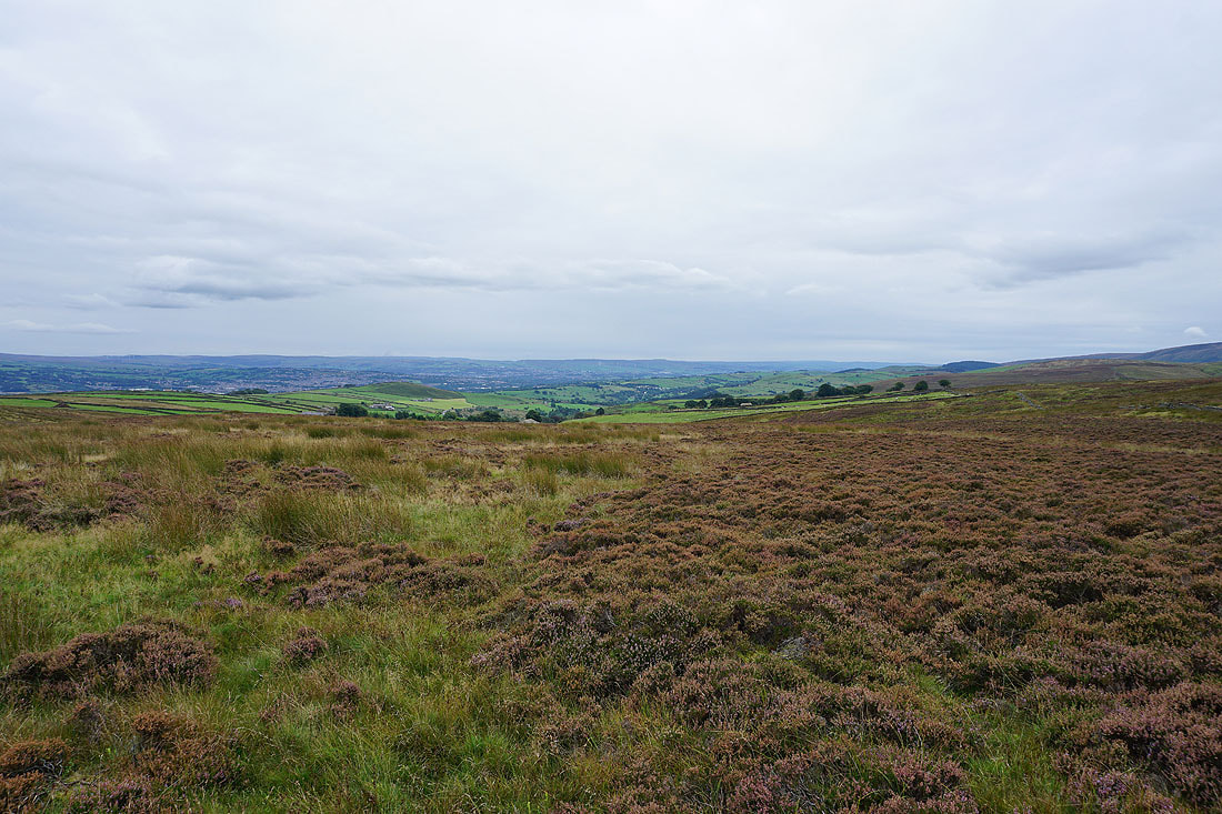
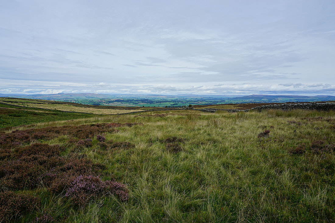
The moors above Burnley in the distance to the south
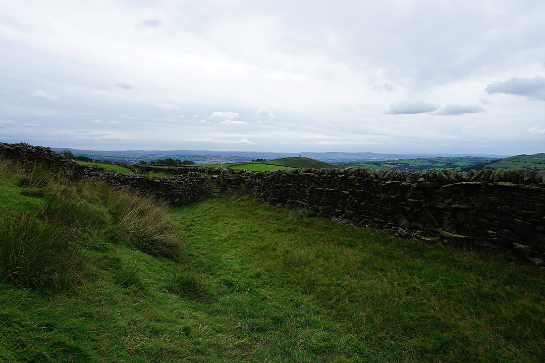
A great view looking north to the Yorkshire Dales is revealed as I reach the northern edge of Weets Hill
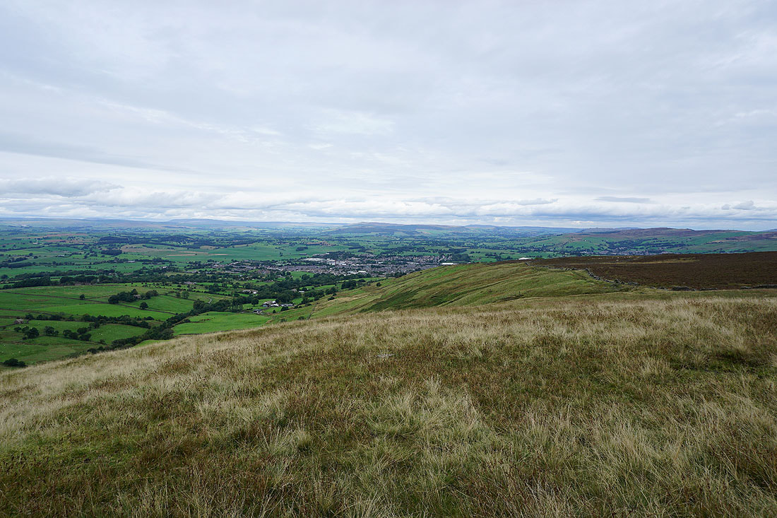
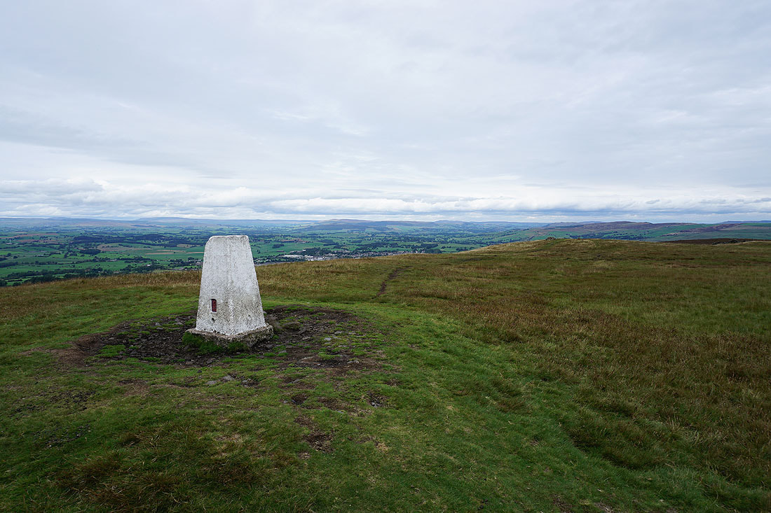
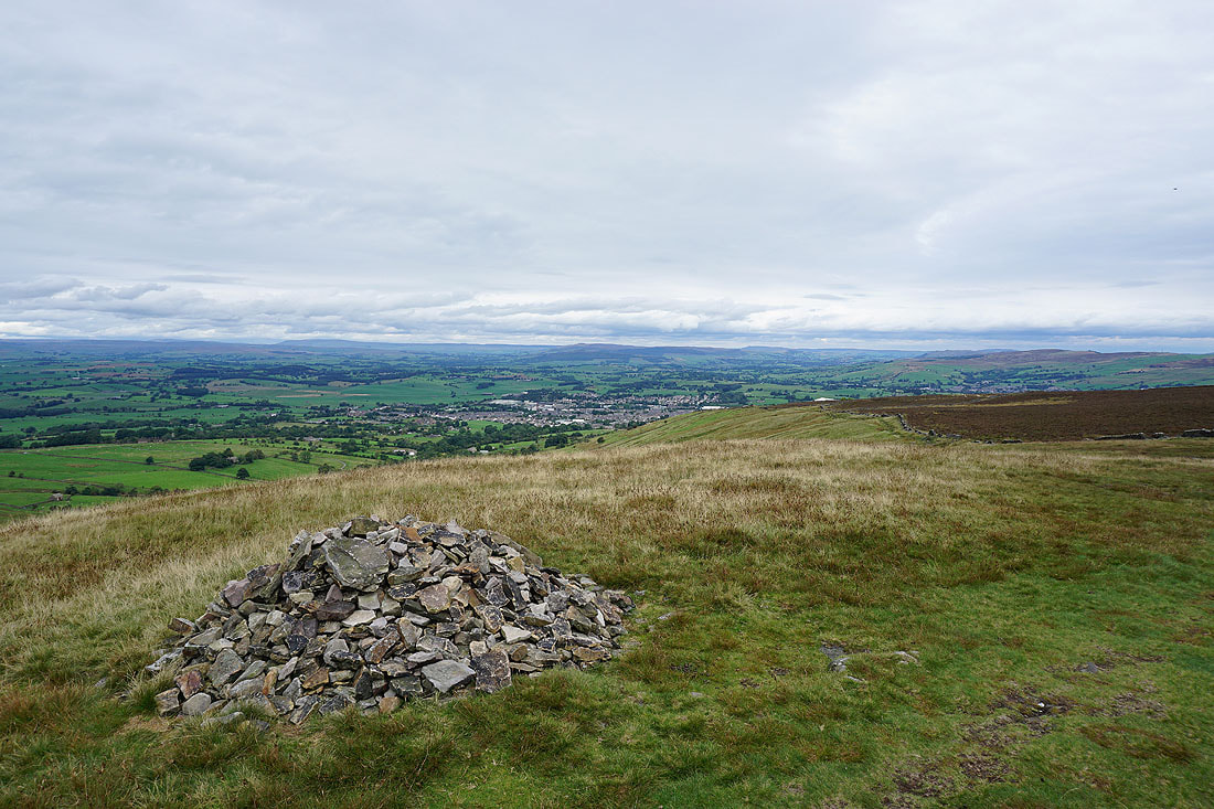
Looking northeast to Great Whernside and Barden Moor, with Barnoldswick below
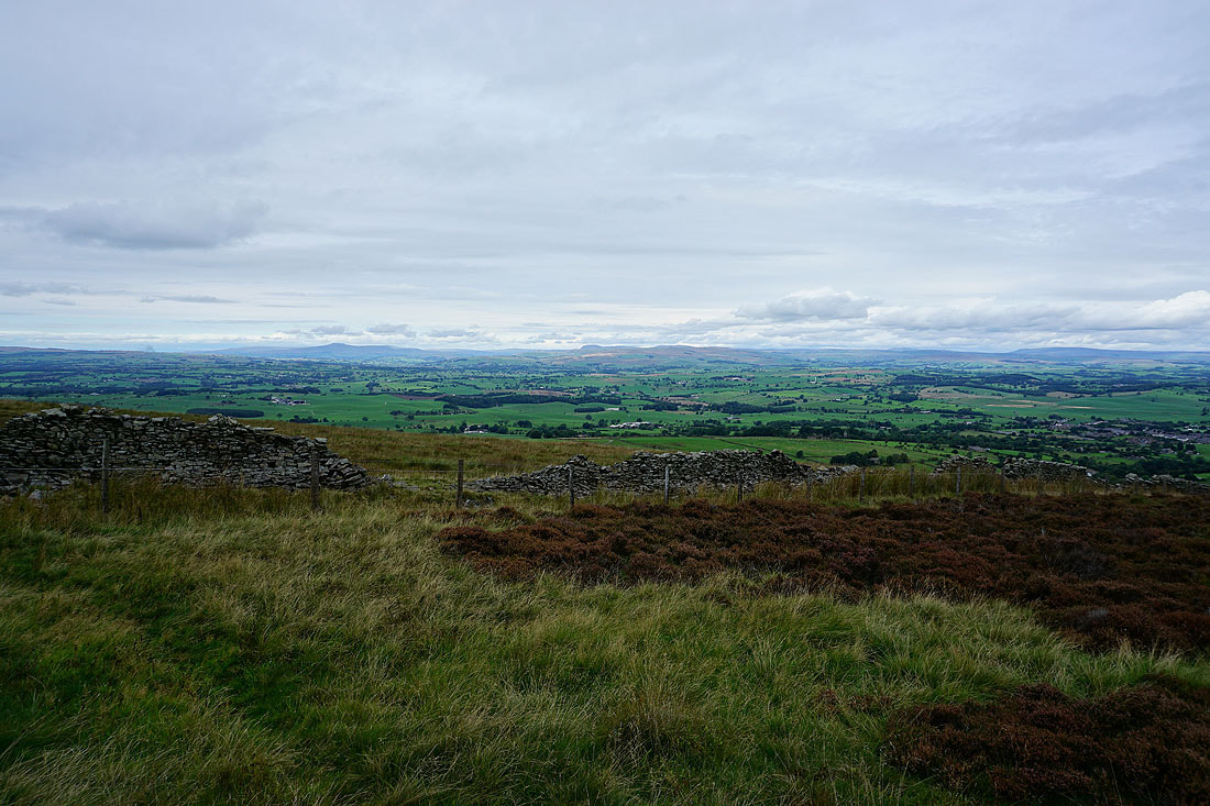
Ingleborough, Penyghent, Fountains Fell and the moors above Malham to the north
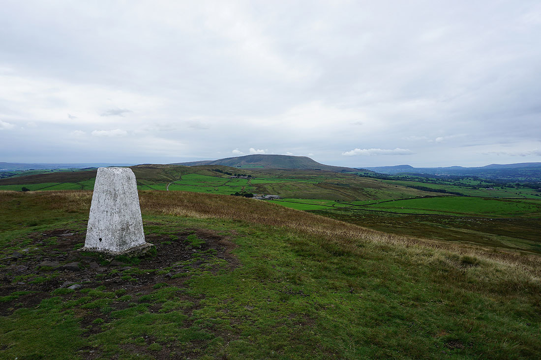
Pendle Hill from the trig point on Weets Hill
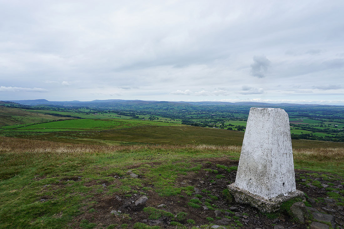
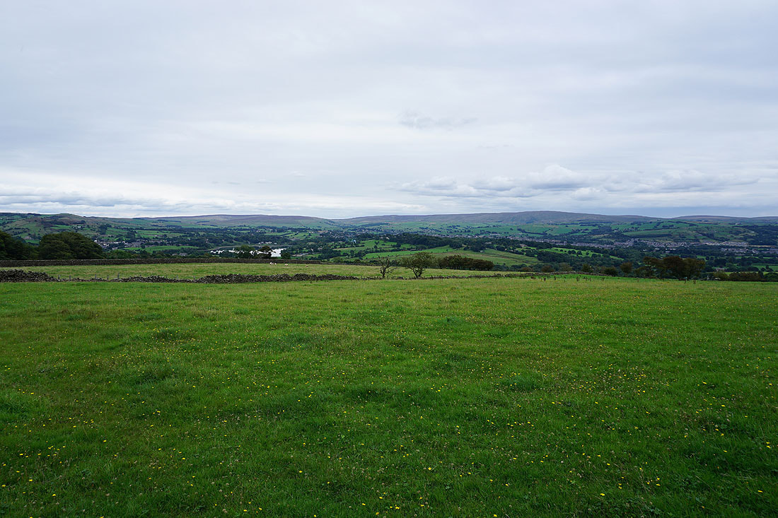
Looking northwest across the Ribble Valley to the Forest of Bowland
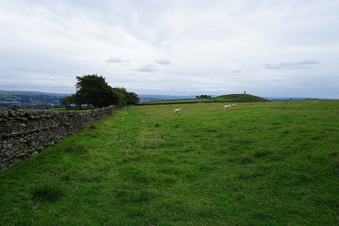
Great Whernside and Barden Moor in the distance to the northeast
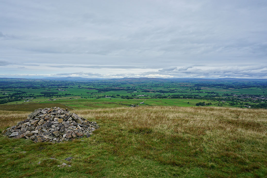
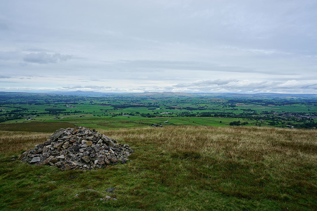
I couldn't resist going back to the cairn at the northeastern end of the hill to take in the view again..
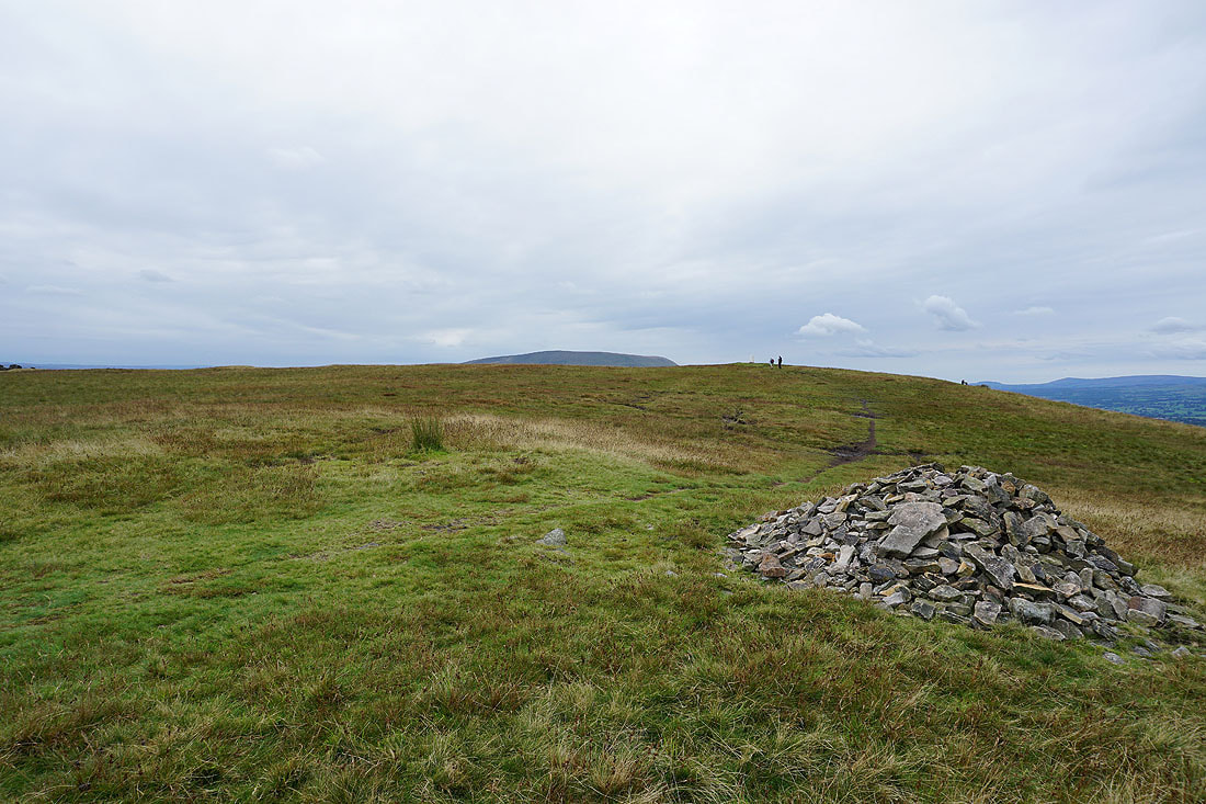
The top of Pendle Hill looms over Weets Hill
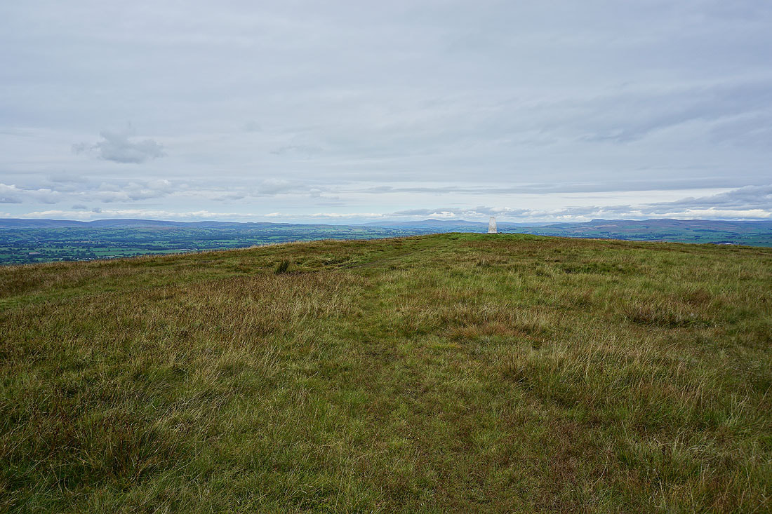
A last shot looking north to Ingleborough as I leave Weets Hill
Heading for Weets House Farm
Pendle Hill and the Forest of Bowland
Looking north to the Forest of Bowland and Ingleborough from the top of the Pennine Bridleway
Heading down Gisburn Old Road
Blacko Hill, the Forest of Pendle and Pendle Hill..
..as I follow the Pendle Way towards Blacko Hill
On Blacko Hill
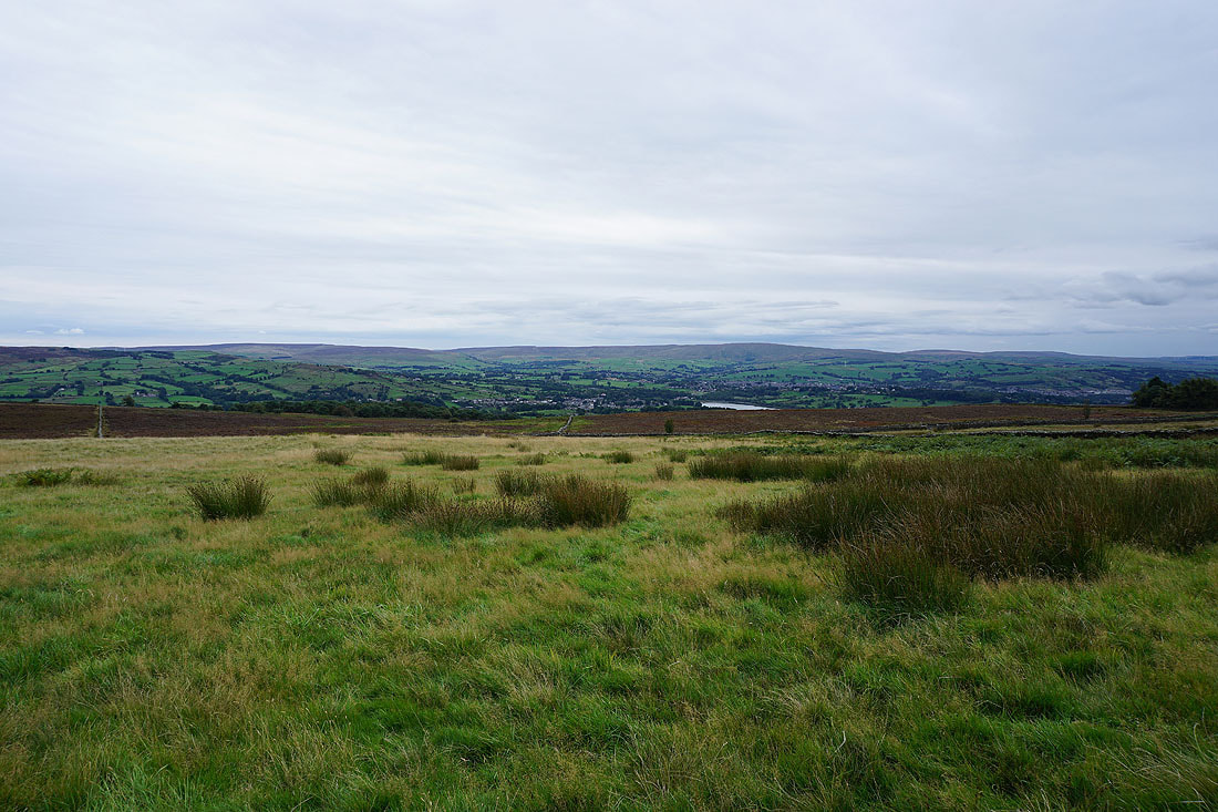
Ickornshaw Moor, Foulridge Lower Reservoir and Boulsworth Hill from Blacko Hill
Above Blacko Hill Side Farm and Blacko
Boulsworth Hill from Burnt House Farm
Along with Pendle Hill and Blacko Hill
Boulsworth Hill as I head from Barnoldswick Road down to Slipper Hill Reservoir
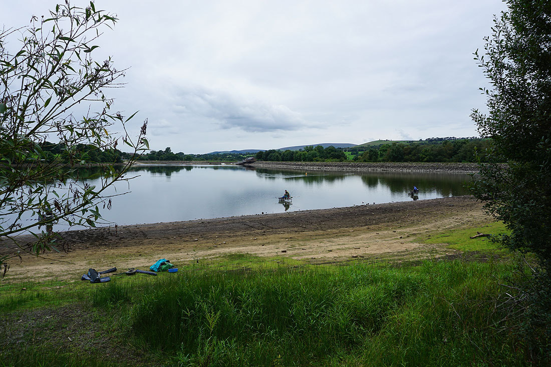
Making my way round Slipper Hill Reservoir..

Sand Hall
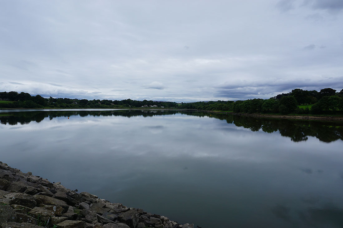
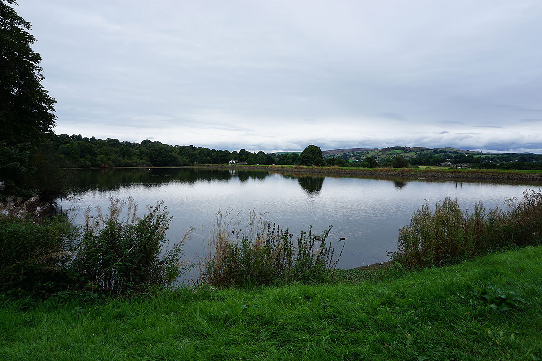
By Foulridge Lower Reservoir. The water level has dropped quite a bit during the past couple of months..
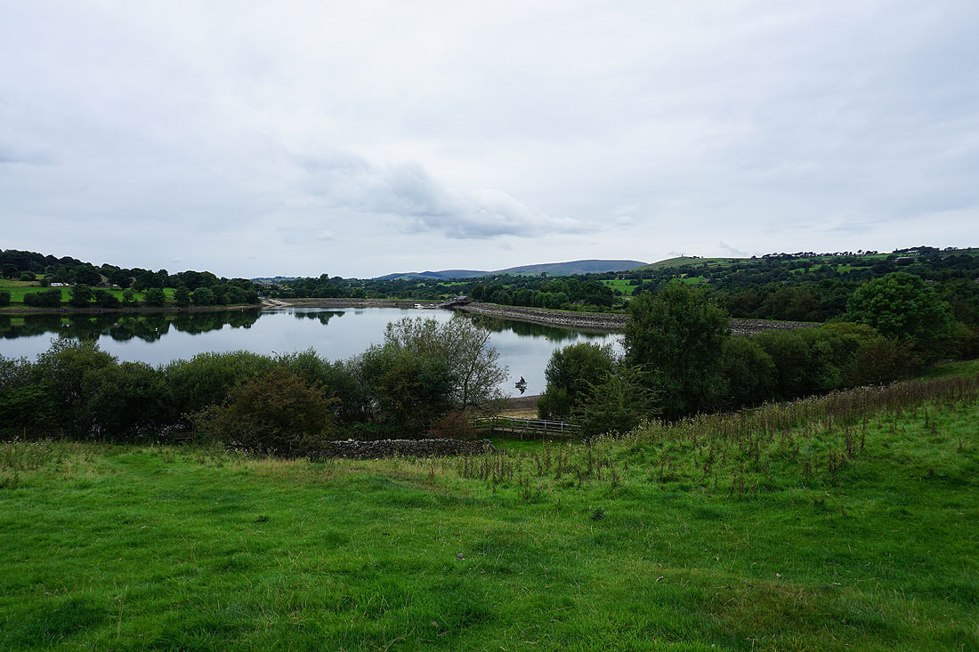
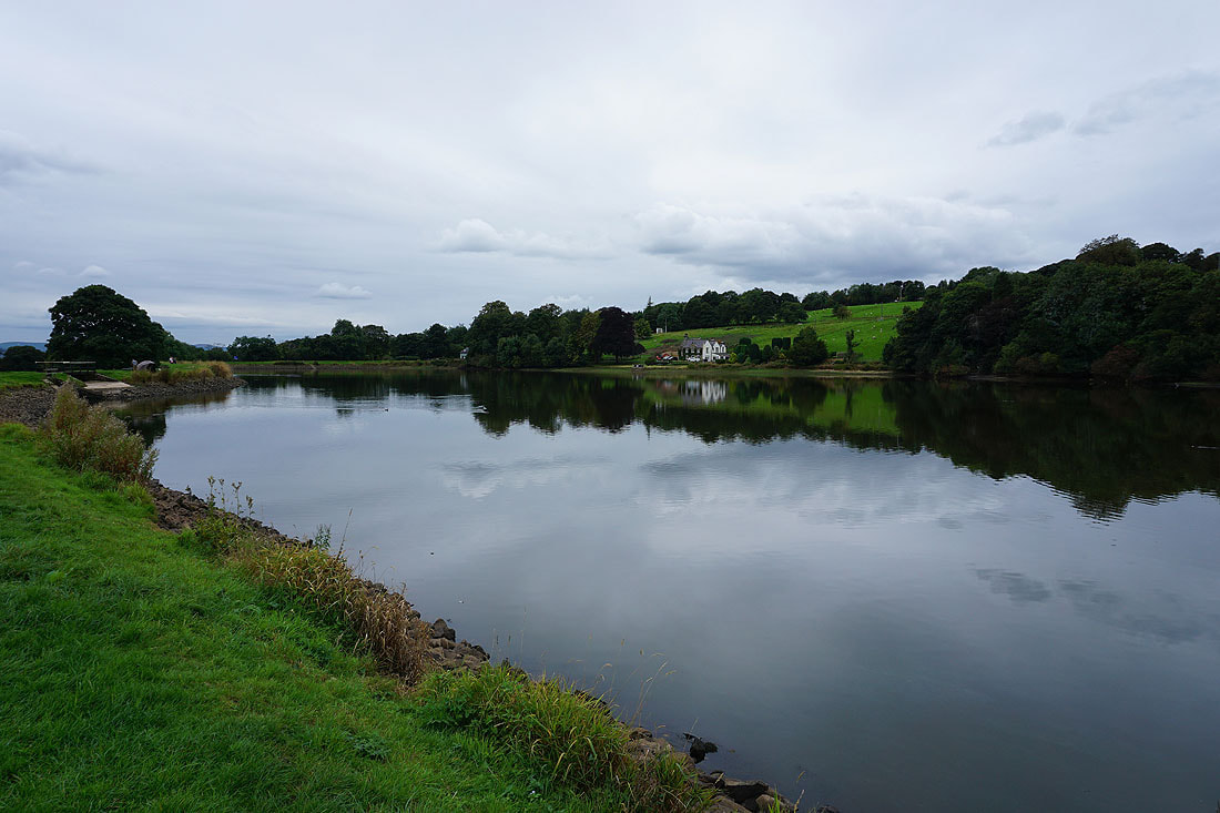
Pendle Hill above Foulridge Lower Reservoir
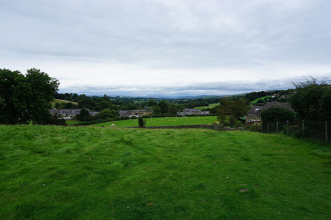
Back in Foulridge with Great Whernside in the distance