13th April 2019 - Blencathra
Walk Details
Distance walked: 10.8 miles
Total ascent: 3304 ft
OS map used: OL5 - The English Lakes, Northeastern area
Time taken: 7 hrs
Route description: Mungrisdale-River Glenderamackin-Bannerdale Crags' east ridge-Bannerdale Crags-Glenderamackin col-Scales Beck-Scales Tarn-Hallsfell Top, Blencathra-Gategill Fell Top-Hallsfell Top-Atkinson Pike-Mungrisdale Common-Glenderamackin col-Bowscale Fell-Bannerdale-River Glenderamackin-Mungrisdale
It's taken me just two weeks rather than nine months to return to the Lake District for another walk on their fells and I'd already decided a while ago that Blencathra would be at the top of my list of places to go. It's been a long six years since I last stood on its summit and taken in the fantastic view from it. I've already bagged Blencathra, and the other Wainwrights around it for my second round except for one, Mungrisdale Common. Today would be as good a day as any to get it out of the way. It was then just a case of working out a route that would make the most of the day and would avoid me treading the same ground twice if I could avoid it. Before setting off I had thought about climbing Sharp Edge (something I have done before), but decided against it. It was a bit too windy for my liking, and it's about time that I bought a new pair of boots, there isn't much tread left on them. Something to look forward to then. It was a nice spring day for being on the fells with sunny spells and good visibility, though with a strong and cold wind high up and increasingly so as the afternoon wore on. It was really strong as it rushed up the front of Blencathra.
From where I parked opposite the village hall in Mungrisdale I walked north along the road to a lane on the left with a phone box. I then walked to the end of this lane, went through the gate, and took the footpath west above the River Glenderamackin. When this path crossed the ford over Bannerdale Beck I left it and made my way up the east ridge of Bannerdale Crags to its summit. After taking in the view I made my way west to Glenderamackin col and took the path south above the west bank of the River Glenderamackin to reach Scales Beck, then from there I made my way up to Scales Tarn, where I stopped for lunch. From Scales Tarn there was then a relatively short climb to reach Hallsfell Top, the summit of Blencathra. I decided to walk along the edge to the top of Gategill Fell and back to spend more time enjoying that fantastic view. Once back on Hallsfell Top I crossed the saddle to Atkinson Pike and then set off across the grassy expanse to bag Mungrisdale Common. I took a different route to leave Mungrisdale Common, across to Glenderamackin col. Once there I climbed to the summit of Bowscale Fell, then retraced my steps a short distance to pick up the path east down into Bannerdale. I followed this path down into Bannerdale to where it joined the path by the River Glenderamackin that I was on earlier in the day, and then I was left with a short walk back to the hamlet of Mungrisdale.
Route map
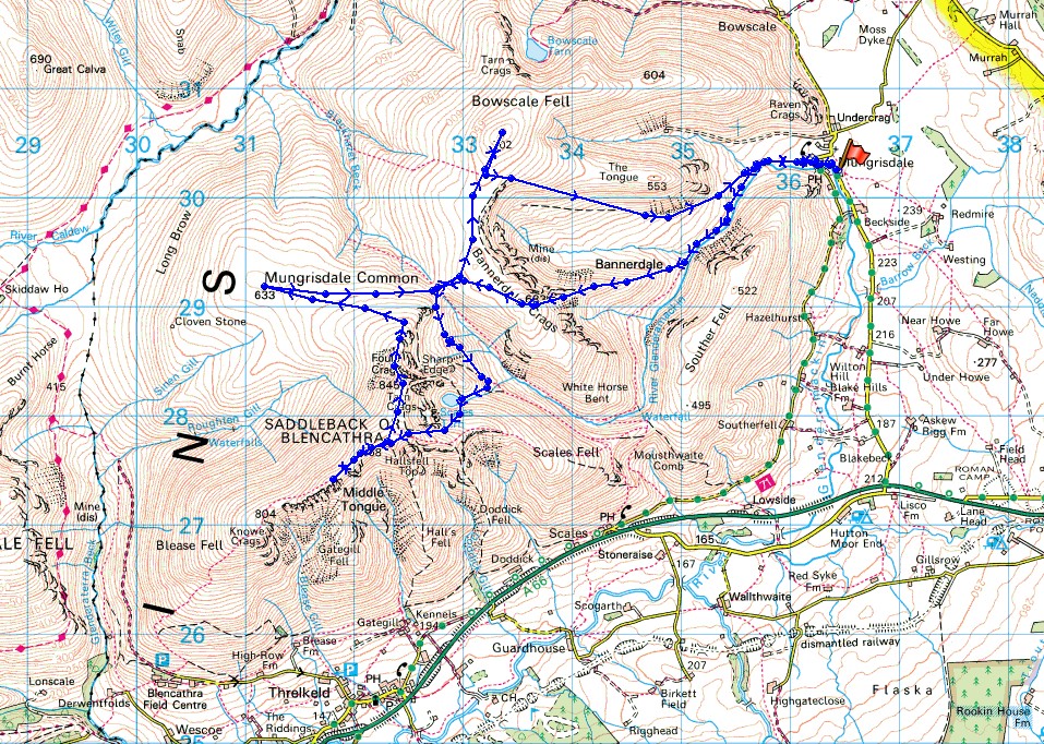
© Crown copyright. All rights reserved. License number PU 100034184.
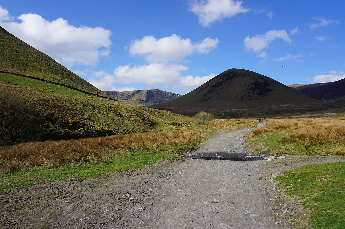
Leaving Mungrisdale and I can make out Bannerdale Crags through the gap in the fells on the left
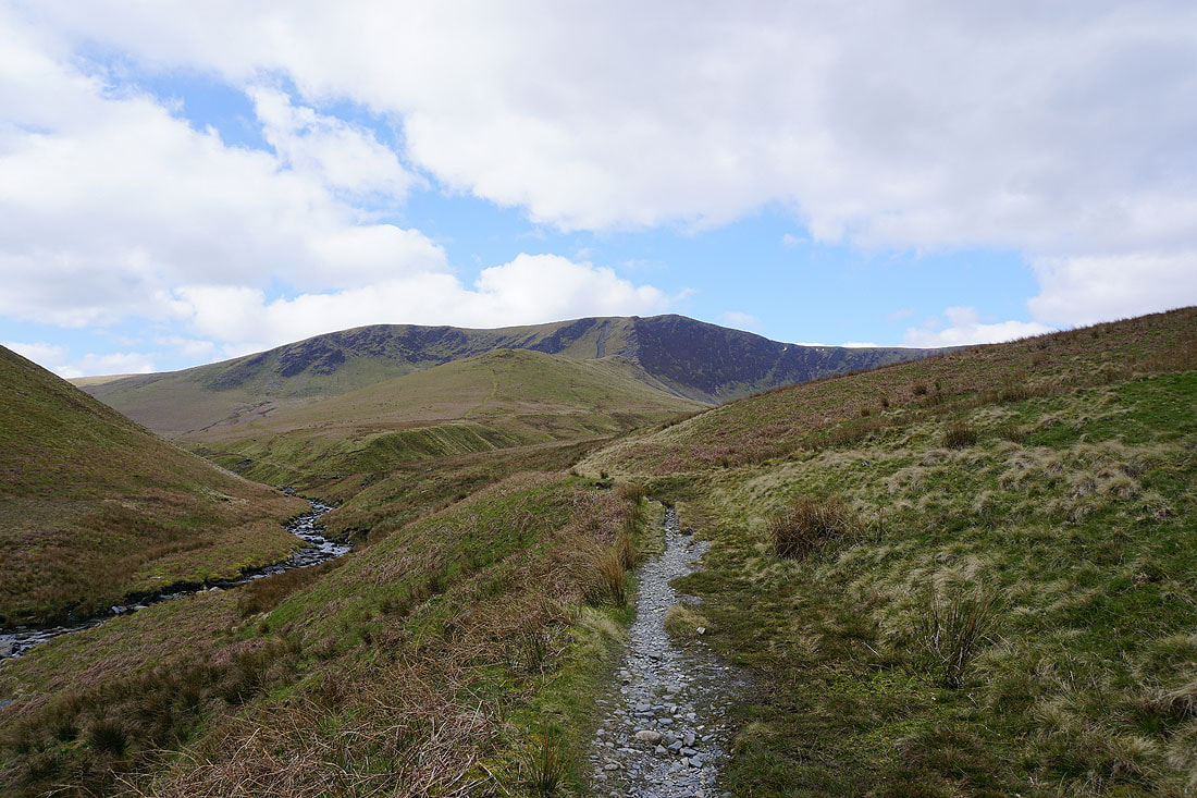
Following the path by the River Glenderamackin and I'm approaching the point where I'll cross Bannerdale Beck and get onto Bannerdale Crags' east ridge
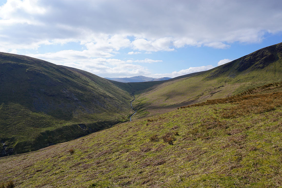
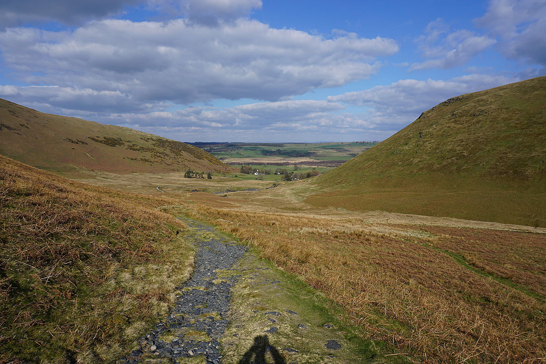
Great Dodd in the distance through the col at the top of Mousthwaite Comb
Bannerdale as I start the climb up the east ridge
A look back to the end of the valley
|
|
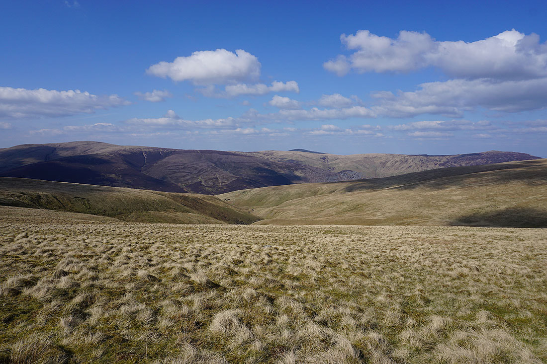
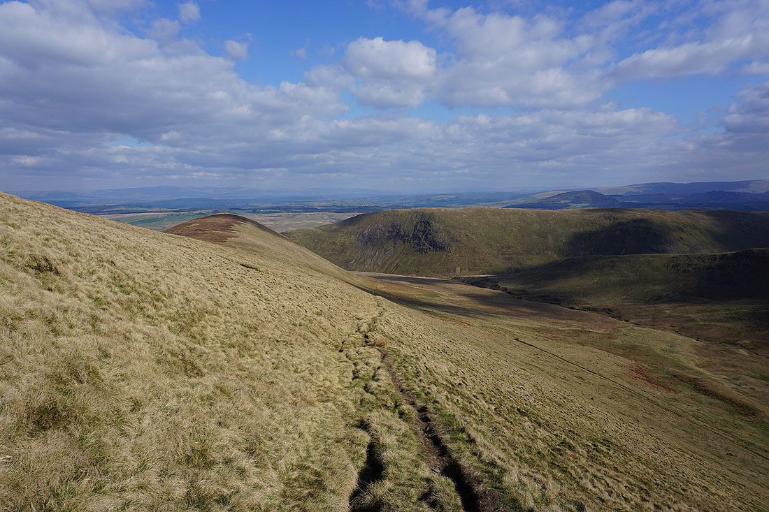
Views from the east ridge
and looking down the ridge from the top of Bannerdale Crags
The summit of Bannerdale Crags. Looking south to the High Street and Helvellyn ranges.
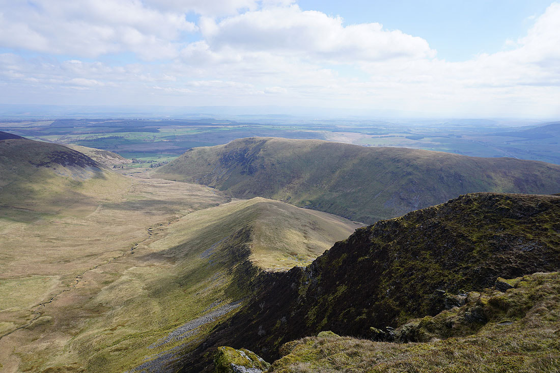
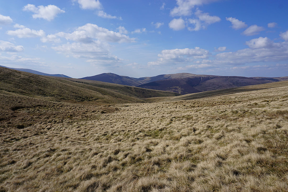
Bannerdale Crags to Bowscale Fell
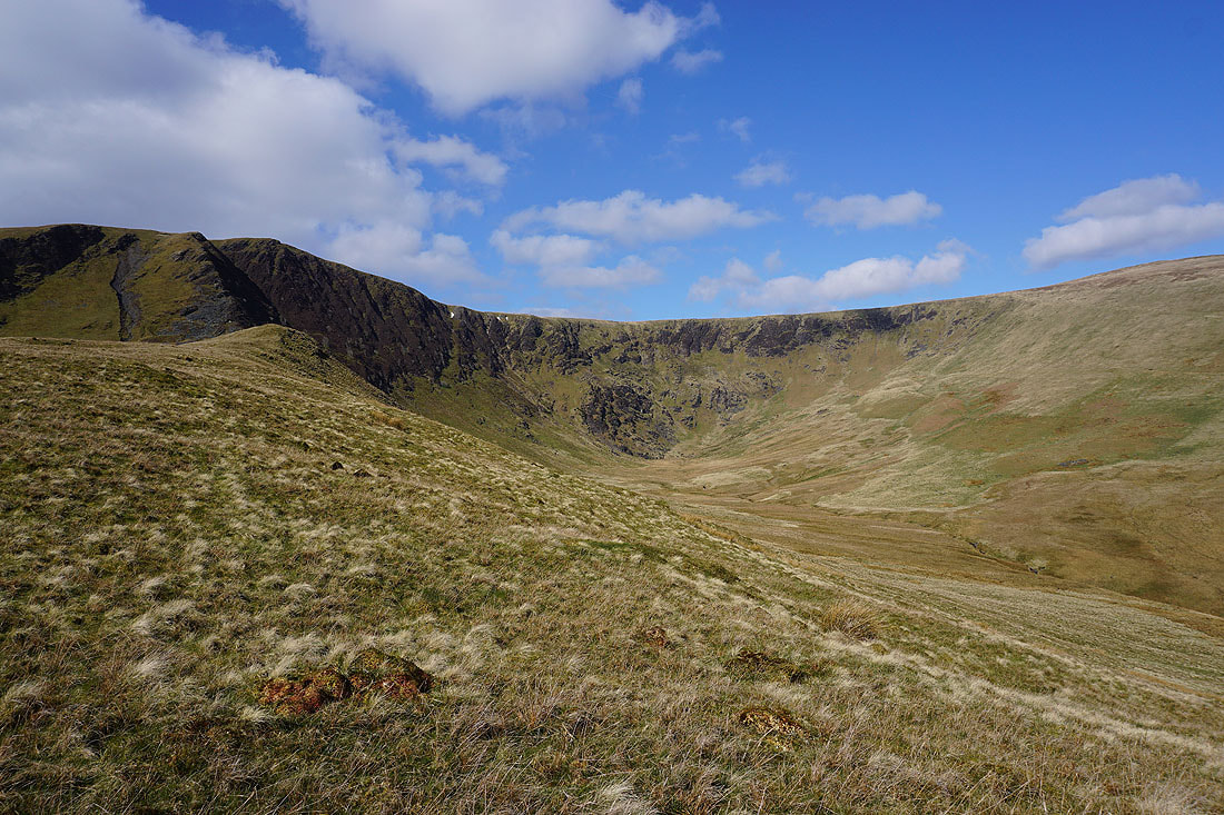
The saddle of Blencathra
A slightly hazy view looking across the top of Souther Fell to the distant North Pennines
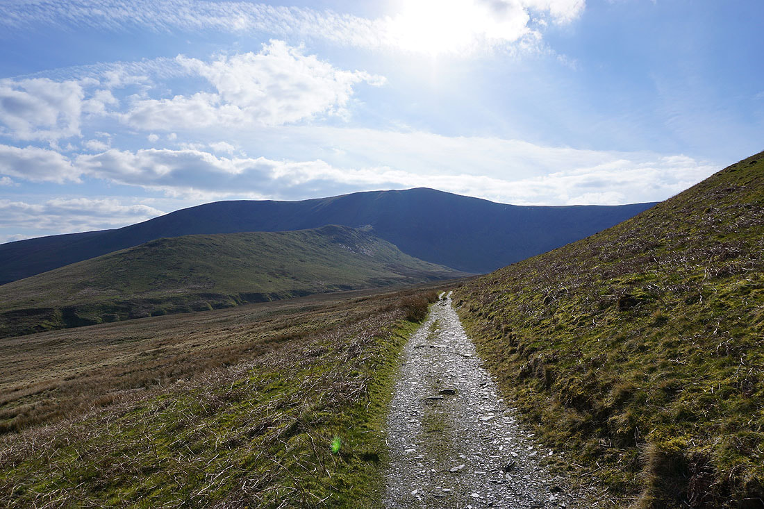
Heading for Glenderamackin Col
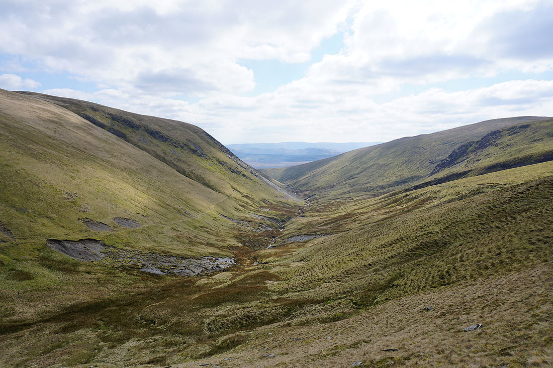
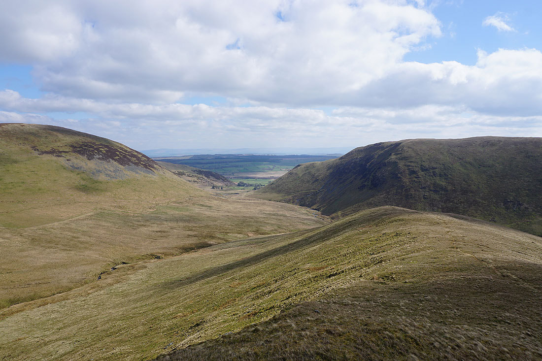
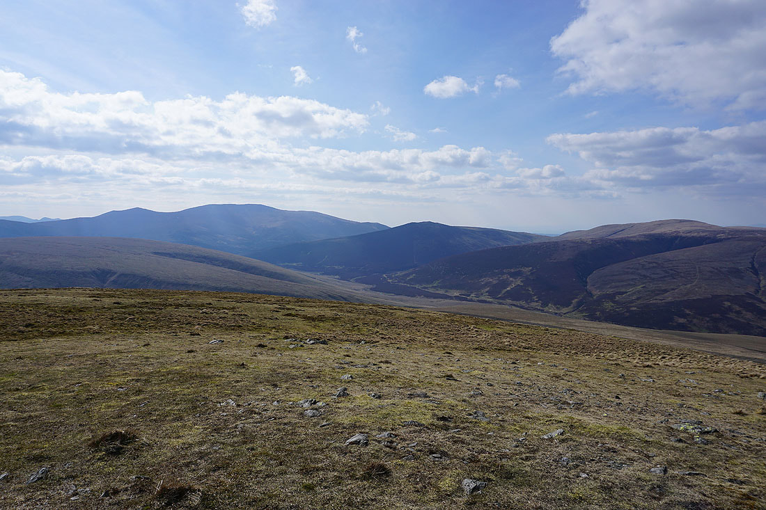
Looking down the valley of the River Glenderamackin from the path on its south side
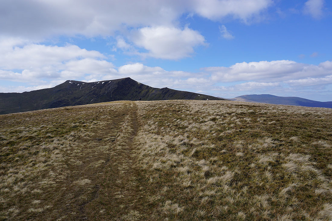
Sharp Edge on Blencathra is now in sight

Zooming in and I can definitely make out someone on it
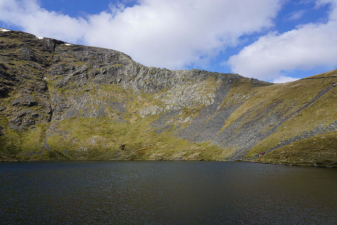
By the shores of Scales Tarn was a nice place to stop for my lunch
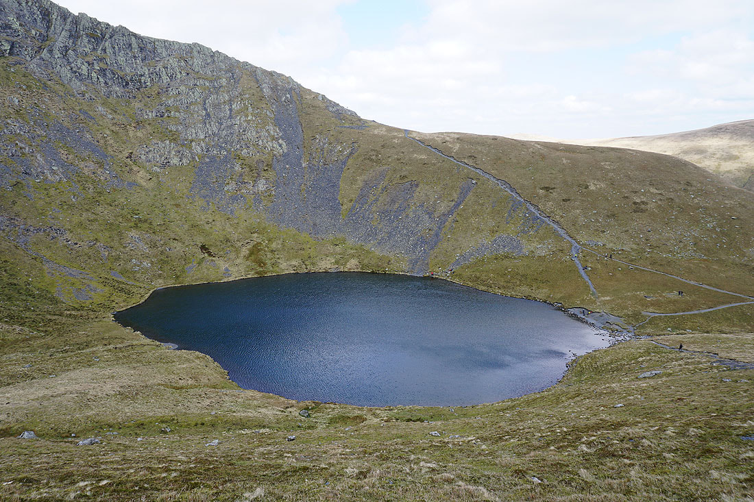
Great views of Scales Tarn as I leave it behind and head for Hallsfell Top, the summit of Blencathra..
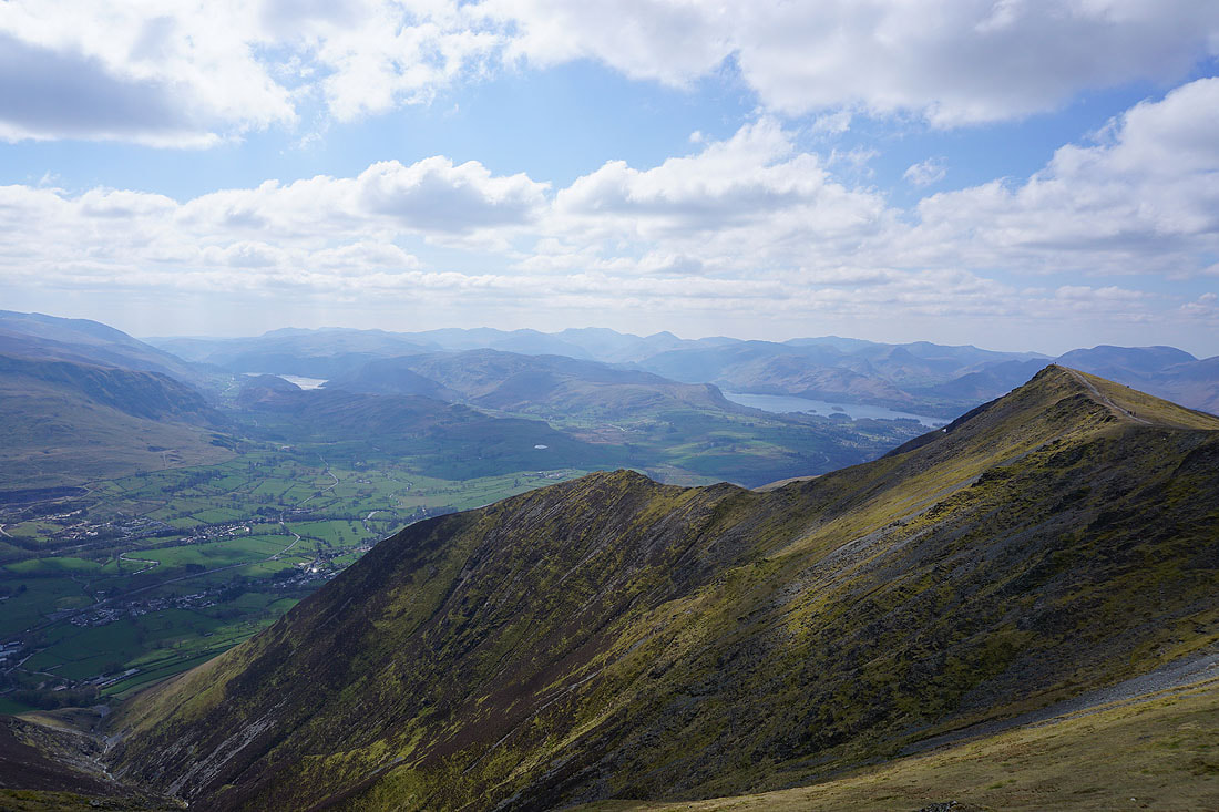
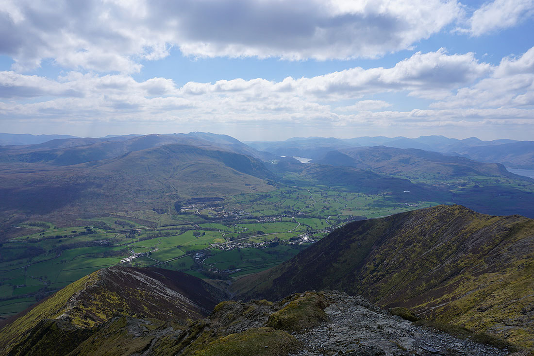
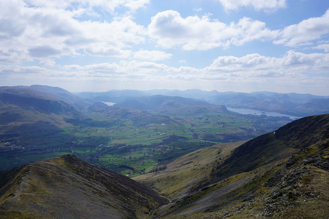
On Hallsfell Top, the summit of Blencathra, and there's a fantastic view right across the Lake District. I can make out Bowfell, Scafell Pike and Great Gable in the distance as well as Thirlmere and Derwent Water.
As I move round to the left I can look along the Dodds to Helvellyn..
..and then there's High Street in the distance on the left
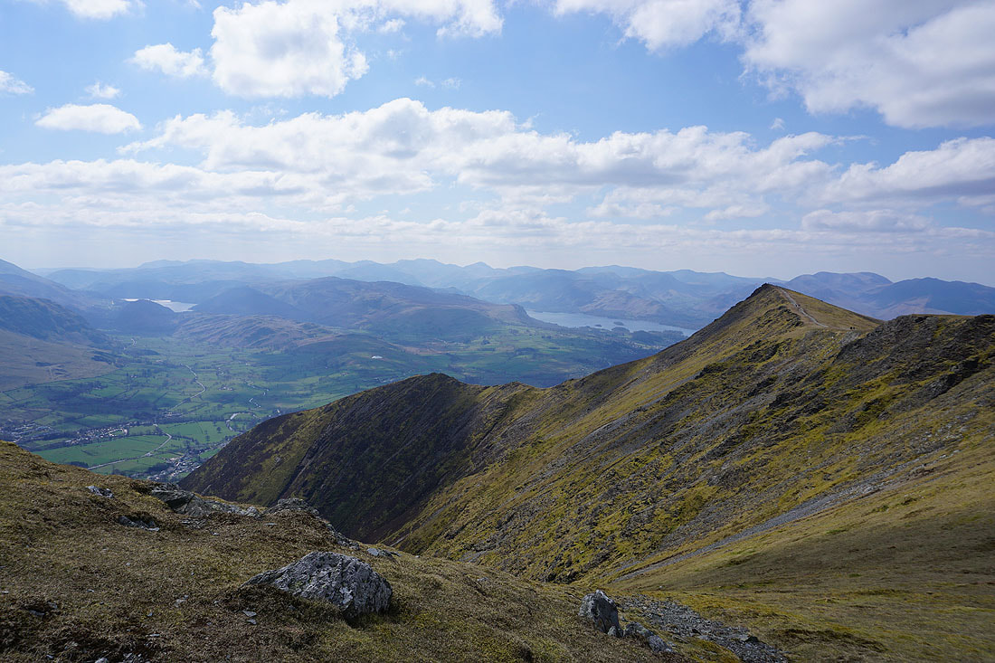
Skiddaw Little Man, Skiddaw and Great Calva
Knott, High Pike and Carrock Fell
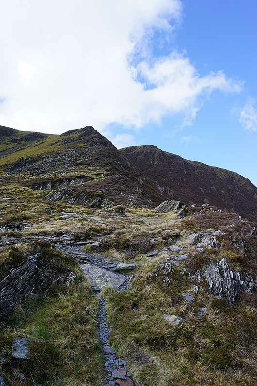
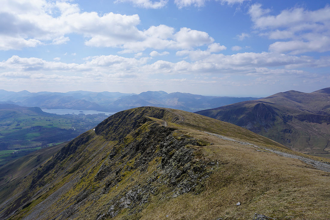
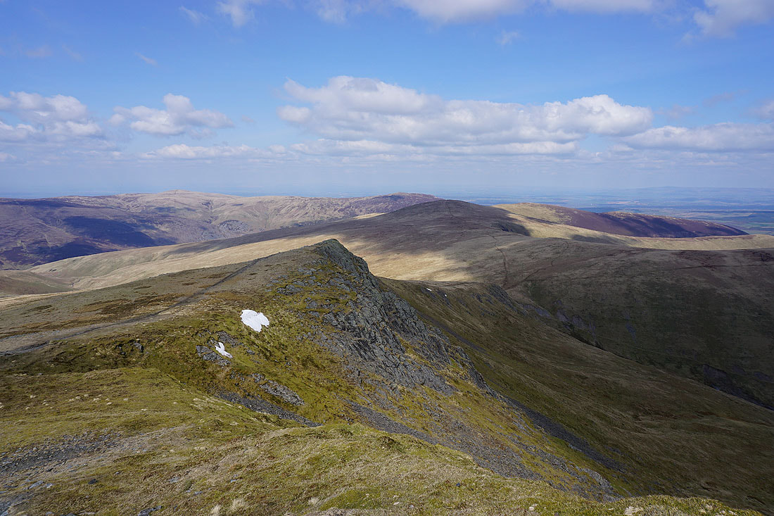
There's a great view as I make my way along a very windy edge to the top of Gategill Fell..
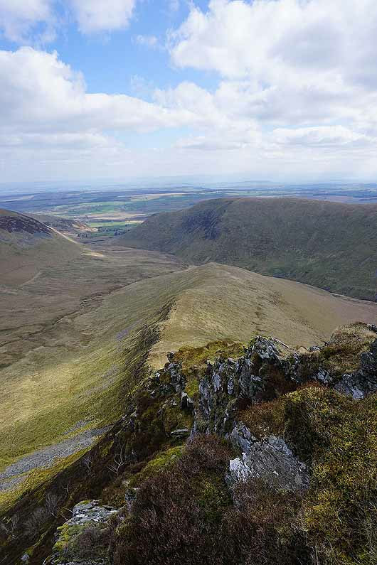
Looking back to Hallsfell Top
Skiddaw Little Man, Skiddaw and Great Calva from Gategill Fell Top
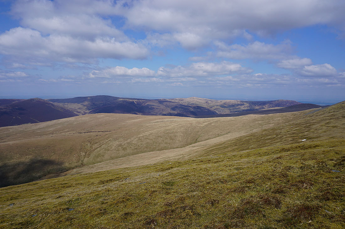
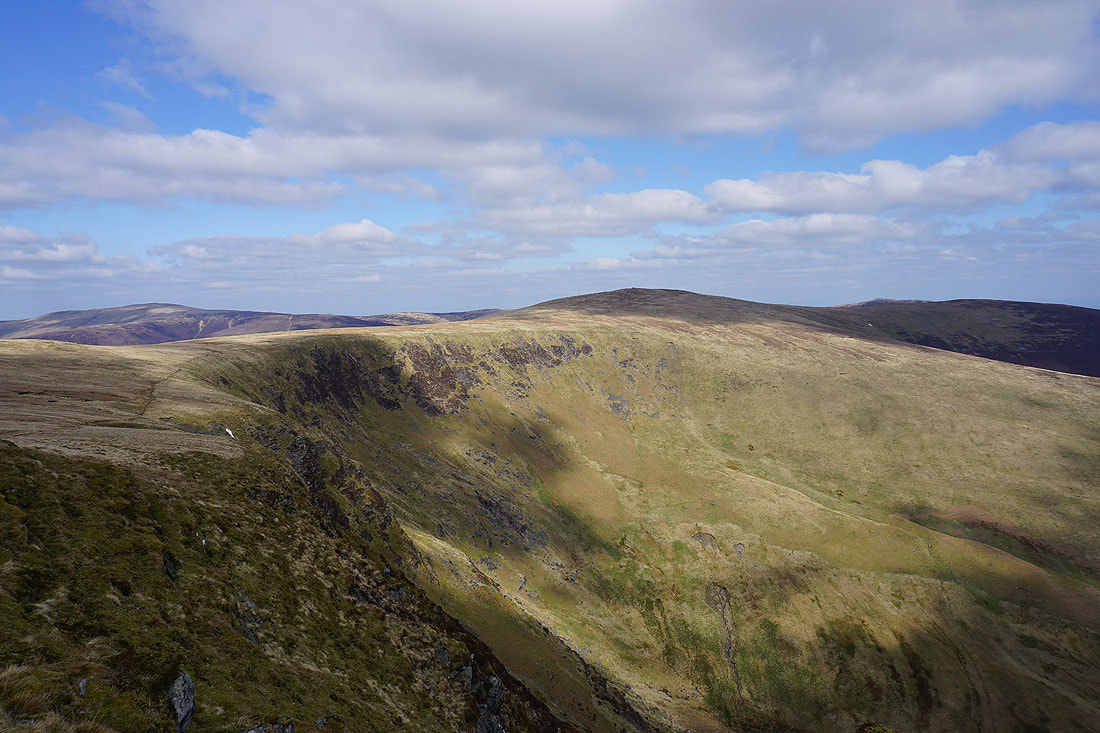
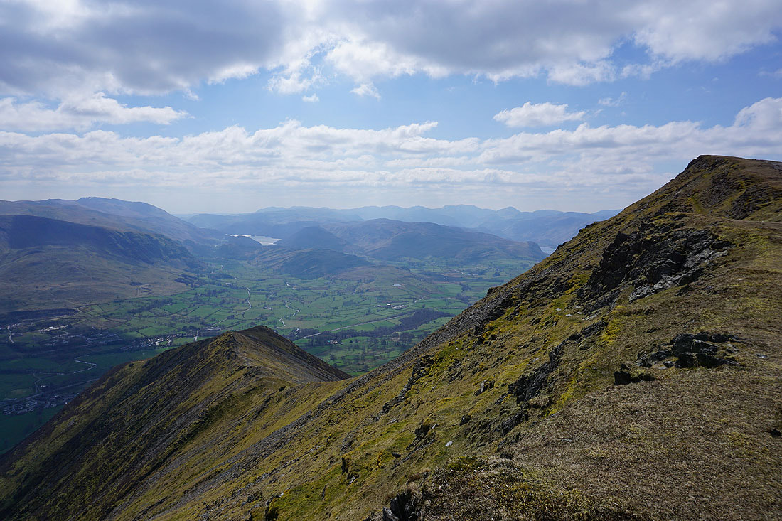
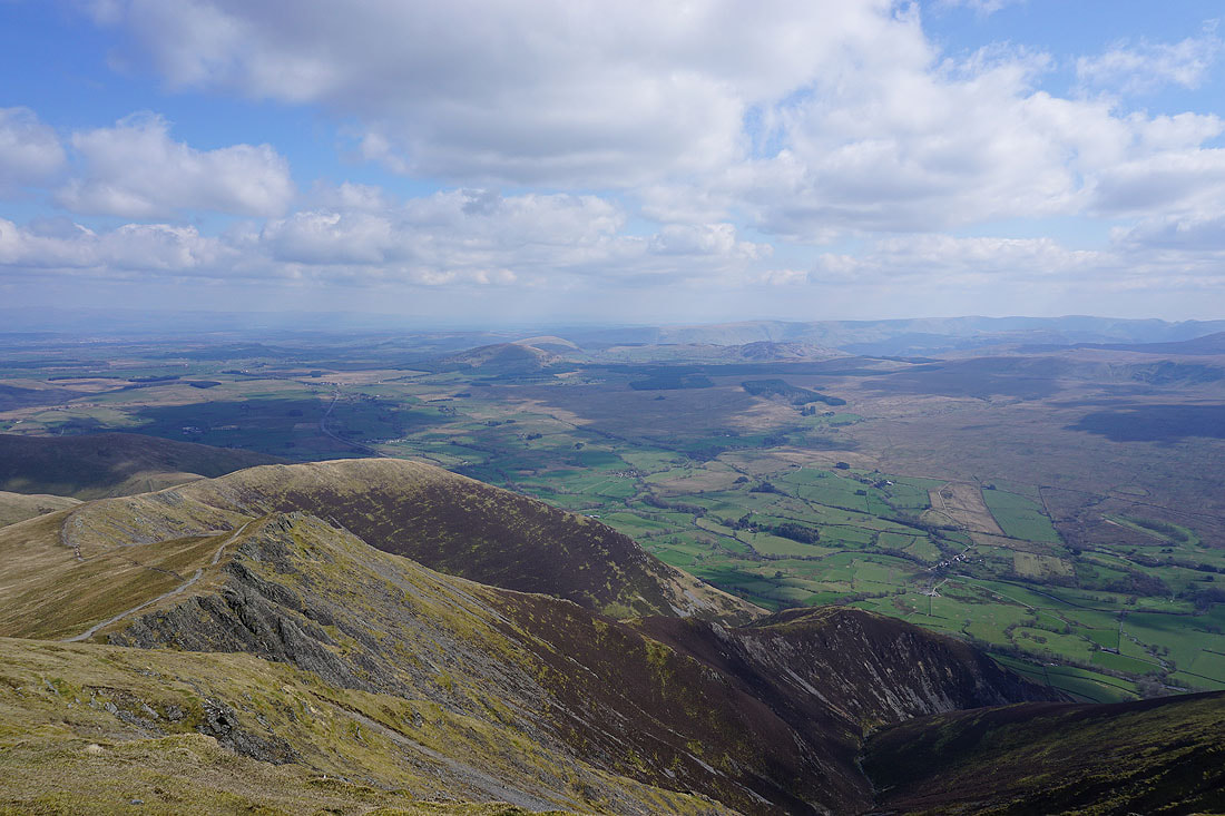
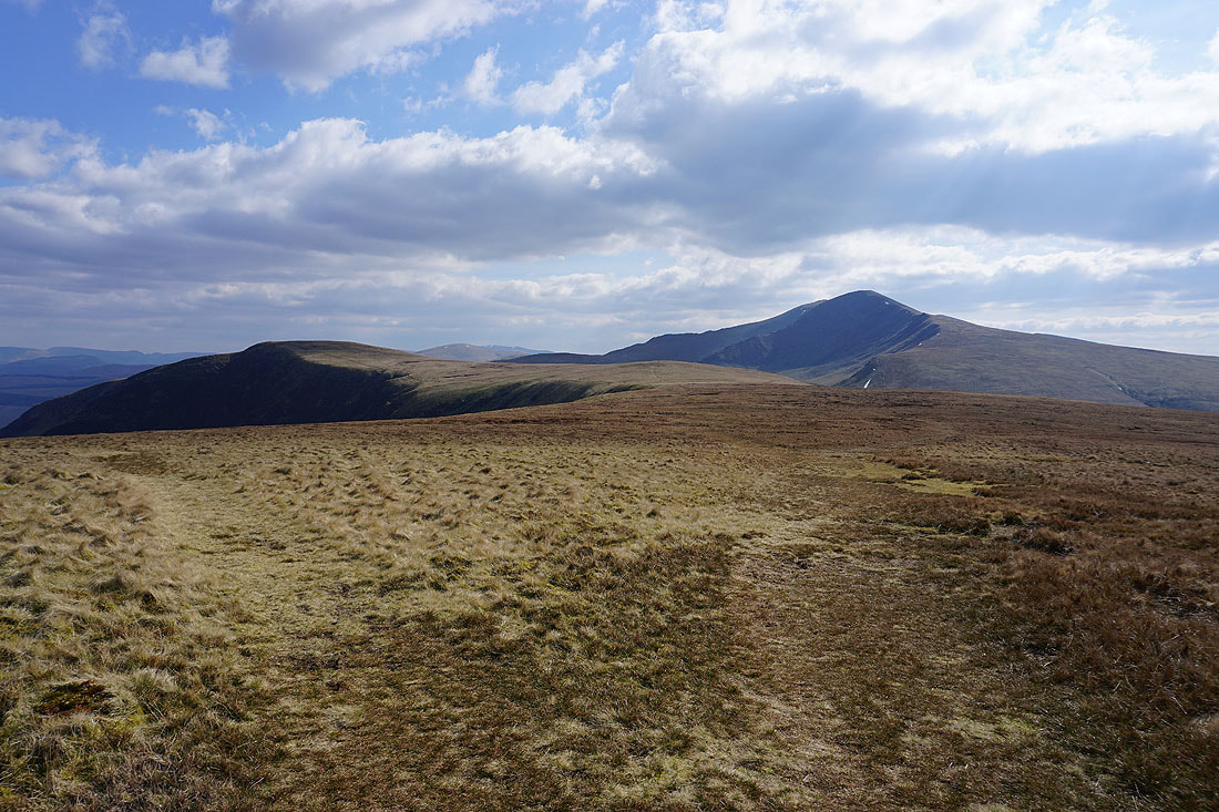
Great Calva, Knott, High Pike and Carrock Fell behind Mungrisdale Common, which is on my itinerary for today
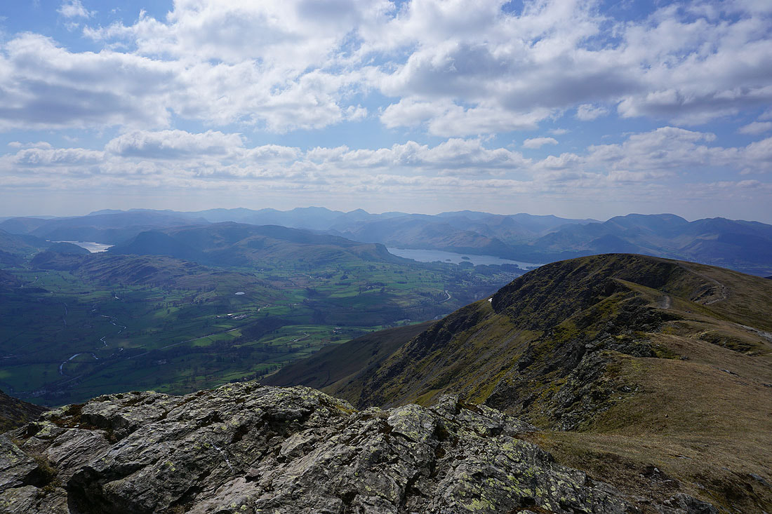
Bowfell, Esk Pike, Scafell Pike, Great Gable and Pillar in the distance from Gategill Fell Top
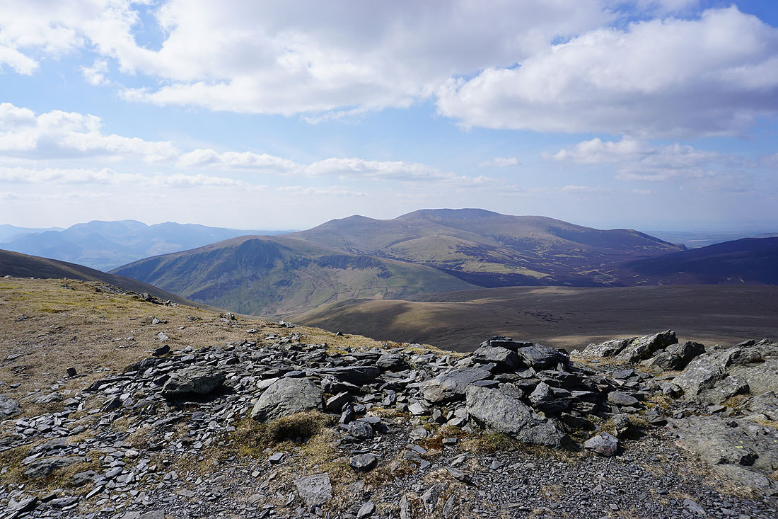
The northwestern fells around Coledale, including Causey Pike, Crag Hill and Grasmoor, behind Knowe Crags at the end of the edge
One last shot of that view before I head back to Hallsfell Top
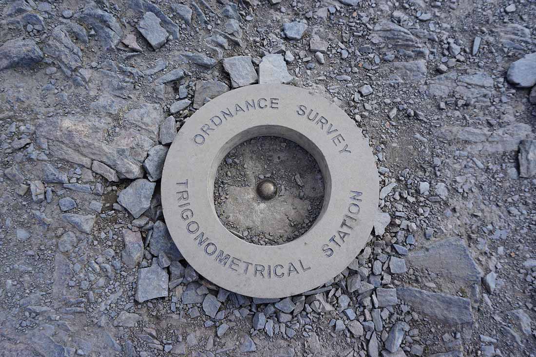
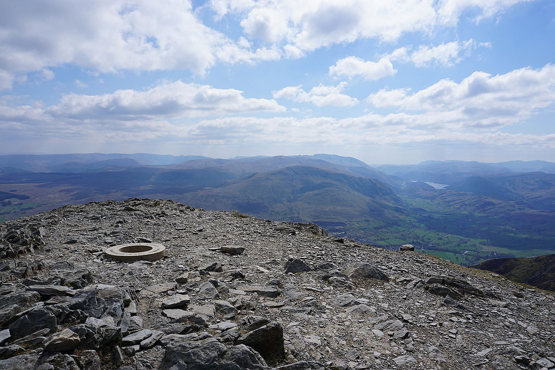
This triangulation ring on Hallsfell Top is as new as it looks. The original was stolen and money raised for a replacement to be made.
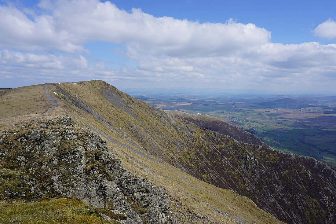
I didn't take a photo of this view east across the top of Scales Fell to Little Mell Fell, Great Mell Fell and Gowbarrow Fell the first time I was here
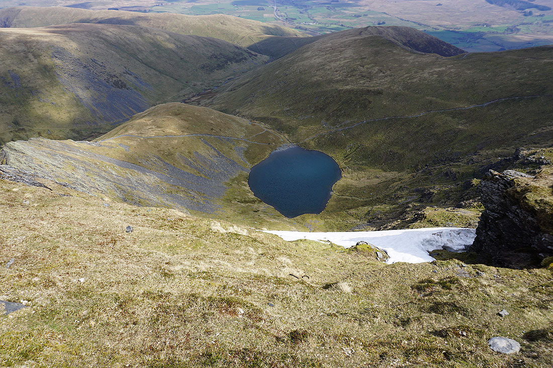
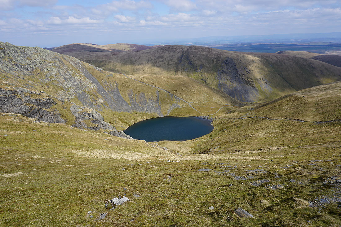
Looking down on Scales Tarn as I head for Atkinson Pike
Lonscale Fell, Skiddaw Little Man and Skiddaw from Atkinson Pike
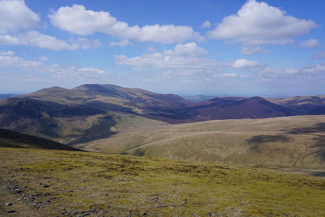
Looking north to Carrock Fell and Bowscale Fell
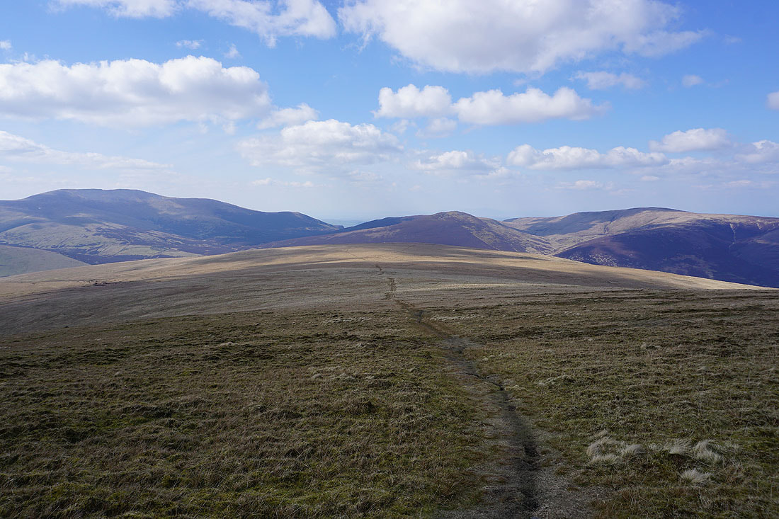
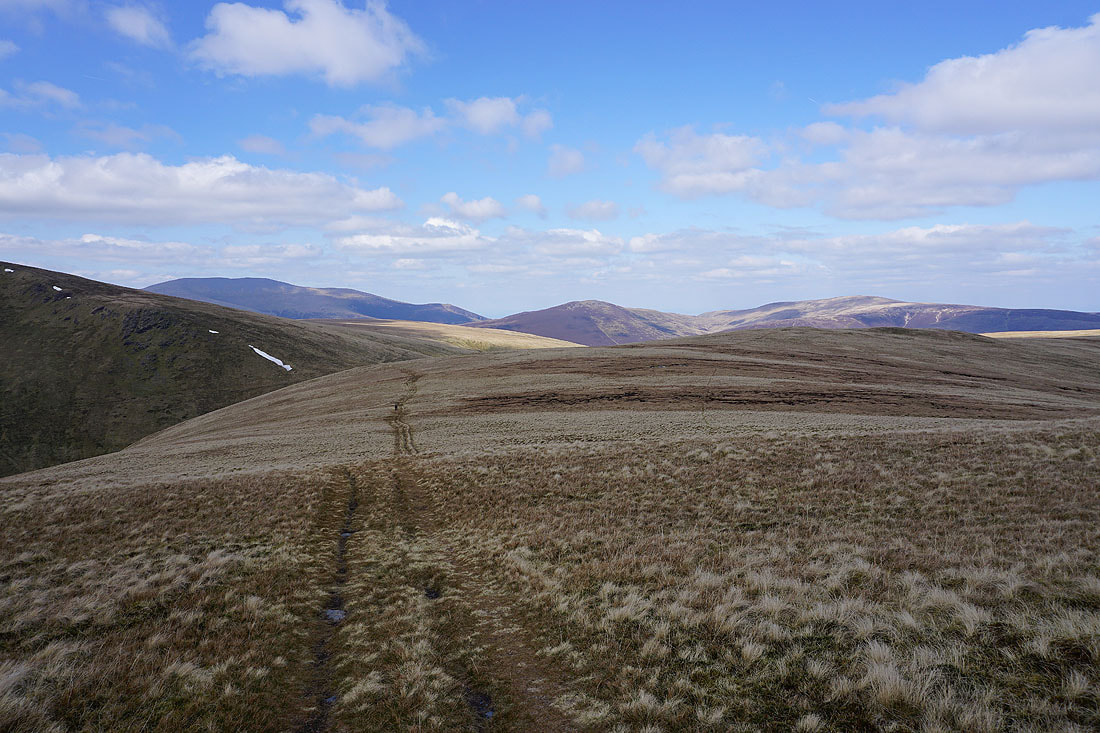
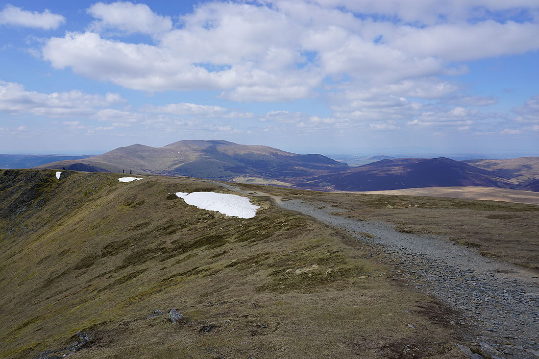
My pulse quickens with excitement (said sarcastically) as I head across Mungrisdale Common
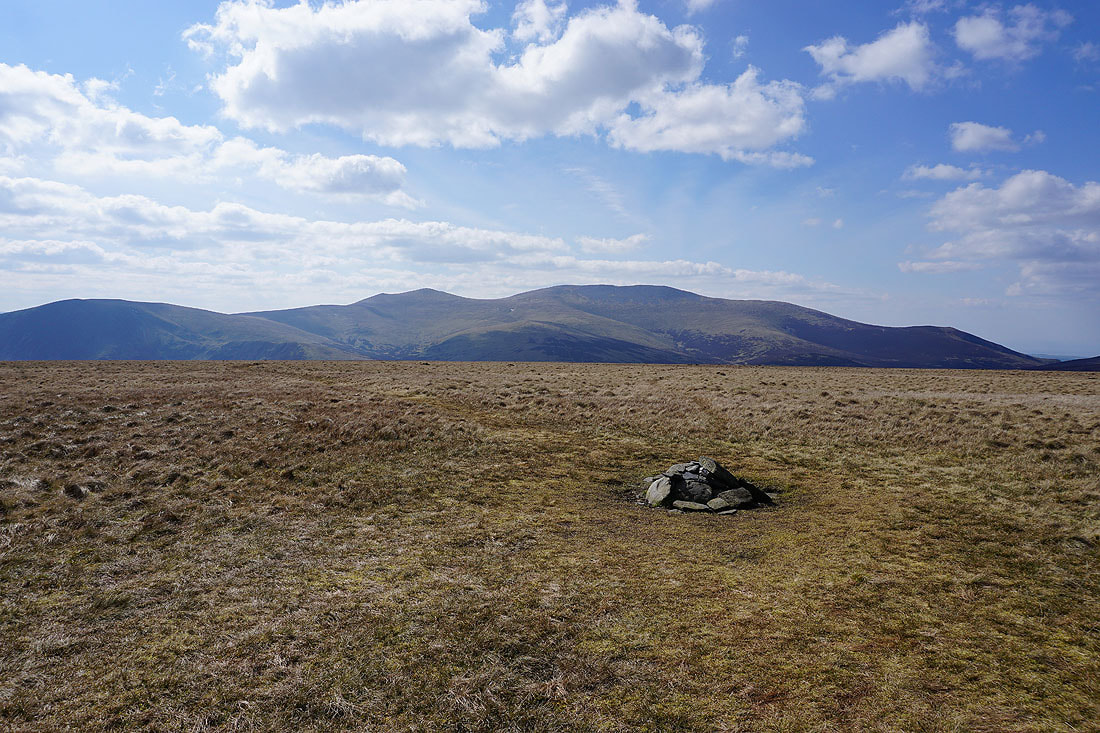
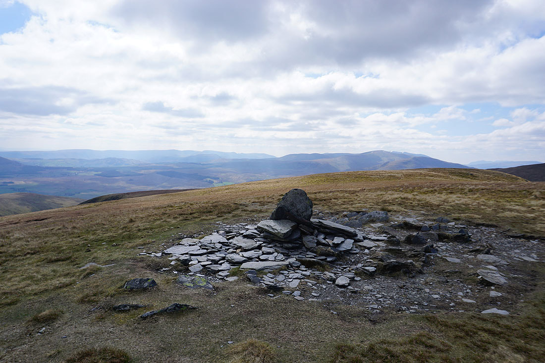
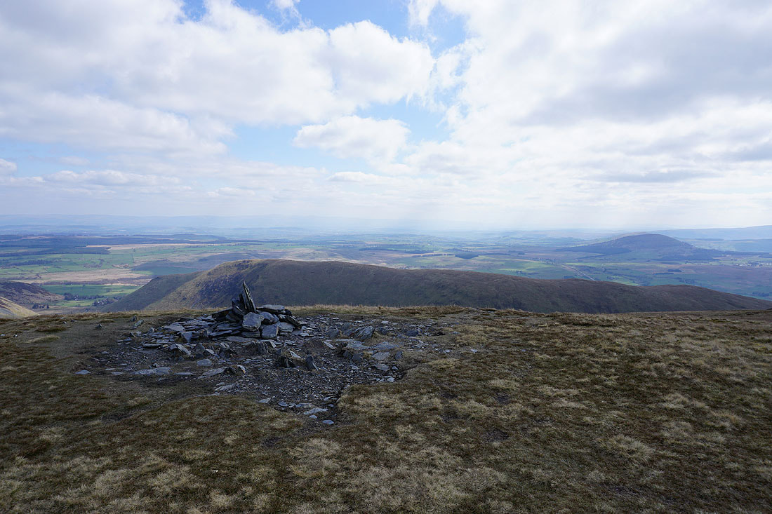
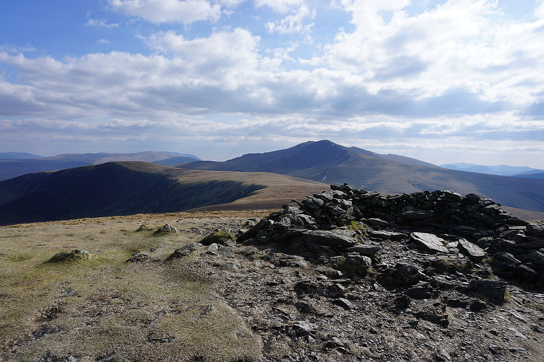
Lonscale Fell, Skiddaw Little Man, Skiddaw and Bakestall from the "summit" cairn on Mungrisdale Common
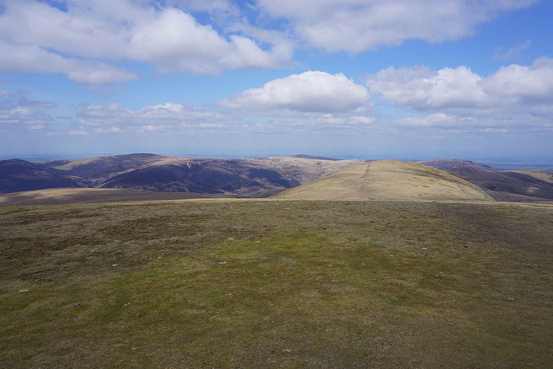
High Pike, Carrock Fell and Bowscale Fell
Knott, High Pike and Carrock Fell..
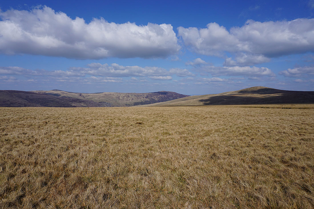
..and Great Calva and Knott as I make my way from Mungrisdale Common to Glenderamackin Col
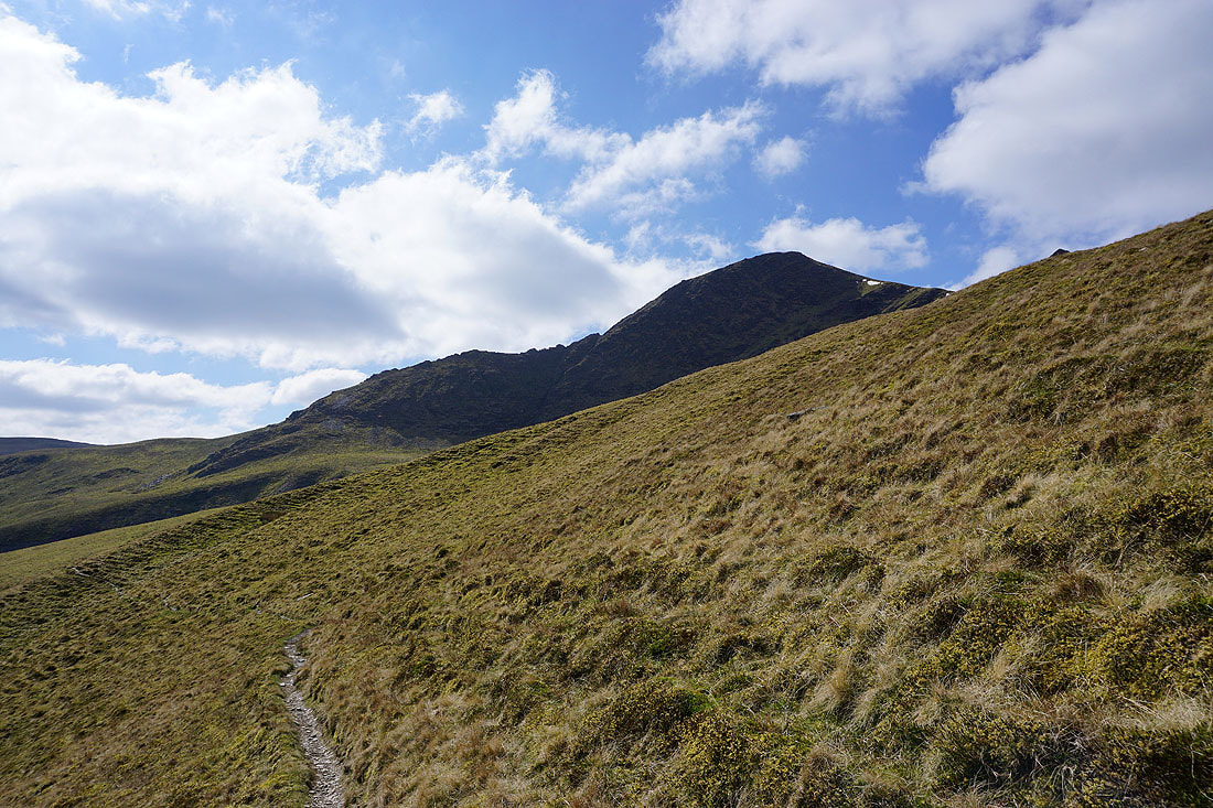
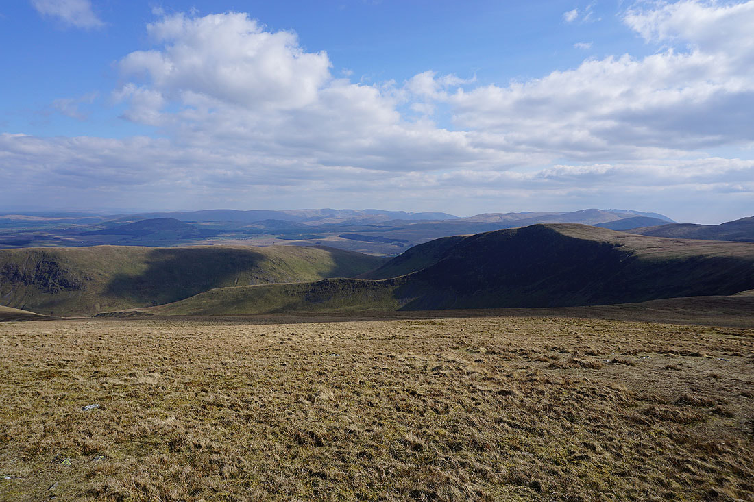
Looking back to Bannerdale Crags and Blencathra as I make my way up Bowscale Fell
Skiddaw, Great Calva, Knott and the valley of the River Caldew from the summit of Bowscale Fell
Bannerdale Crags and Blencathra
If I move a short distance to the other side of the summit cairn I get a great view across Bannerdale to Bannerdale Crags and the east ridge that I climbed earlier in the day
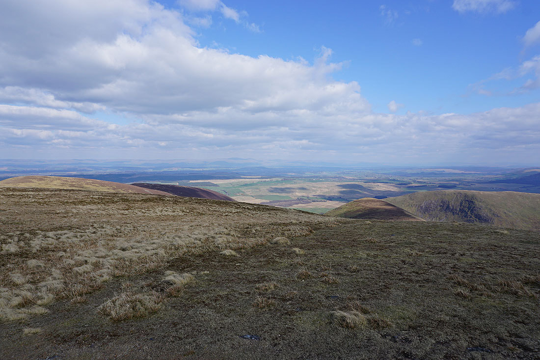
Cross Fell and the North Pennines in the distance on the other side of the Eden Valley
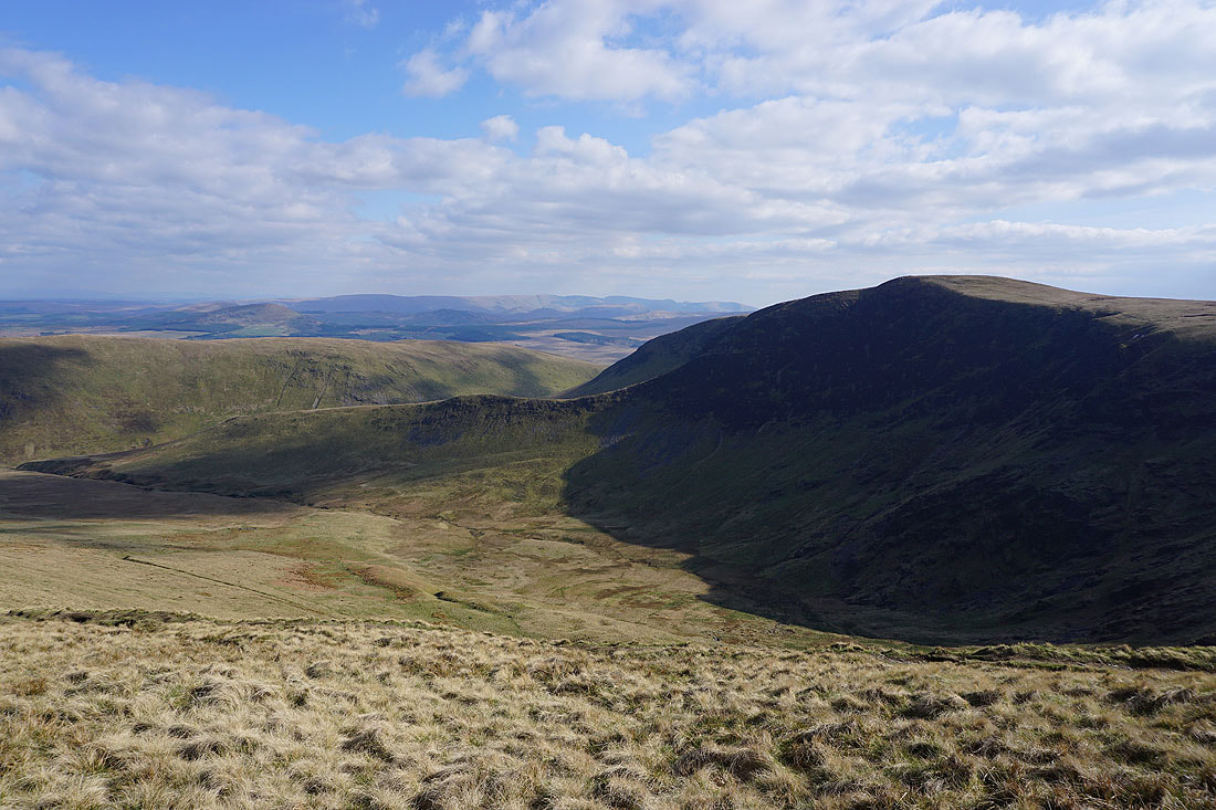
Bannerdale and Bannerdale Crags as I take the path from Bowscale Fell down into Bannerdale..
Looking back to Bannerdale Crags and its east ridge
Back down by the River Glenderamackin
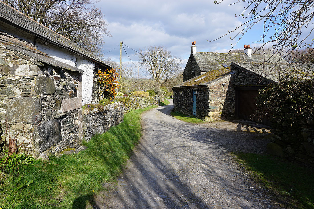
and a short time later I'm back in Mungrisdale