13th August 2016 - Ovenden Moor & Midgley Moor
Walk Details
Distance walked: 15.2 miles
Total ascent: 1878 ft
OS map used: OL21 - South Pennines
Time taken: 7.5 hrs
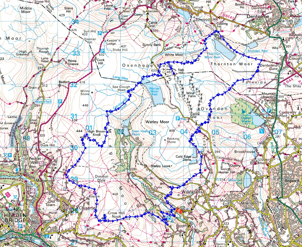
Route description: Jerusalem Farm-Wade Bridge-Calderdale Way-Haigh Cote Barn-Moorlands Farm-Cold Edge-Ovenden Moor-Ogden Clough-Foreside Lane-Thornton Moor Road-Bronte Way-Hambleton Lane-Nab Hill-Warley Moor Reservoir-Catchwater Drain-High Brown Knoll-Deer Stones Edge-Calderdale Way-Midgley Moor-Churn Milk Joan-High House Lane-Calderdale Way-Jerusalem Farm
With my car in for a service first thing this morning, a late start meant a late finish for my walk today. Which is why I kept relatively local by heading for Calderdale. I arrived at the car park at Jerusalem Farm in Luddenden Dean at 1200 and noted that it was locked up for the night at 2000. No problem I thought, I'll be back in plenty of time. Almost famous last words. I returned at 1945 and that was after jogging at times as I made my final descent off Midgley Moor. I certainly put in the miles again today and although I thoroughly enjoyed it the weather definitely made me wait. I set off under grey skies with a strong wind blowing and drizzly showers passing through. It wasn't until I'd reached the eastern end of Ovenden Moor that the first patches of blue sky started to appear. It stayed windy for the rest of the day but the occasional spells of sunshine now brightened up the moors and made the cover of heather on Midgley Moor look great in the early evening.
From the car park at Jerusalem Farm in Luddenden Dean I set off by taking the trail of the Calderdale Way down to Wade Bridge over Luddenden Brook, then uphill to the lane at Upper Saltonstall, uphill to another lane, then across the southern end of Warley Moor to Moorfield Farm. I turned left here onto a bridleway to head north past the Cold Edge Dams, Haigh Cote Barn and Moorlands Farm to reach the lane by the transmitter at Cold Edge. I crossed the lane to take another bridleway, which I followed east before taking the footpath across Ovenden Moor to Ogden Clough. I then crossed Ogden Clough and carried on heading east on the track of Foreside Lane before taking a public footpath north to pick up the trail of the Bronte Way and Thornton Moor Road. This trail took me north and around Thornton Moor Reservoir and onto the bridleway of Hambleton Lane, which after briefly following south, I left through a gate on the right for the path to Nab Hill. While I was up here I paid the trig point on the top of Ovenden Moor a visit. After retracing my steps to the cairns on Nab Hill I made my way down to the road below and Warley Moor Reservoir. A concessionary path goes round its northern end and I used this to reach the catchwater drain that starts by the dam of the reservoir. A path follows this drain across the moor to the bridleway up to the trig point on High Brown Knoll. After a final stop of the day here I made my way south along Deer Stones Edge and then onto the Calderdale Way around the western edge of Midgley Moor. The trail was left to get to the trig point at the southern end of Midgley Moor. I then made my way east past the guide stone of Churn Milk Joan and down off Midgley Moor to the bridleway of High House Lane. I then encountered the Calderdale Way again and following this took me back to the car park.
Total ascent: 1878 ft
OS map used: OL21 - South Pennines
Time taken: 7.5 hrs
Route description: Jerusalem Farm-Wade Bridge-Calderdale Way-Haigh Cote Barn-Moorlands Farm-Cold Edge-Ovenden Moor-Ogden Clough-Foreside Lane-Thornton Moor Road-Bronte Way-Hambleton Lane-Nab Hill-Warley Moor Reservoir-Catchwater Drain-High Brown Knoll-Deer Stones Edge-Calderdale Way-Midgley Moor-Churn Milk Joan-High House Lane-Calderdale Way-Jerusalem Farm
With my car in for a service first thing this morning, a late start meant a late finish for my walk today. Which is why I kept relatively local by heading for Calderdale. I arrived at the car park at Jerusalem Farm in Luddenden Dean at 1200 and noted that it was locked up for the night at 2000. No problem I thought, I'll be back in plenty of time. Almost famous last words. I returned at 1945 and that was after jogging at times as I made my final descent off Midgley Moor. I certainly put in the miles again today and although I thoroughly enjoyed it the weather definitely made me wait. I set off under grey skies with a strong wind blowing and drizzly showers passing through. It wasn't until I'd reached the eastern end of Ovenden Moor that the first patches of blue sky started to appear. It stayed windy for the rest of the day but the occasional spells of sunshine now brightened up the moors and made the cover of heather on Midgley Moor look great in the early evening.
From the car park at Jerusalem Farm in Luddenden Dean I set off by taking the trail of the Calderdale Way down to Wade Bridge over Luddenden Brook, then uphill to the lane at Upper Saltonstall, uphill to another lane, then across the southern end of Warley Moor to Moorfield Farm. I turned left here onto a bridleway to head north past the Cold Edge Dams, Haigh Cote Barn and Moorlands Farm to reach the lane by the transmitter at Cold Edge. I crossed the lane to take another bridleway, which I followed east before taking the footpath across Ovenden Moor to Ogden Clough. I then crossed Ogden Clough and carried on heading east on the track of Foreside Lane before taking a public footpath north to pick up the trail of the Bronte Way and Thornton Moor Road. This trail took me north and around Thornton Moor Reservoir and onto the bridleway of Hambleton Lane, which after briefly following south, I left through a gate on the right for the path to Nab Hill. While I was up here I paid the trig point on the top of Ovenden Moor a visit. After retracing my steps to the cairns on Nab Hill I made my way down to the road below and Warley Moor Reservoir. A concessionary path goes round its northern end and I used this to reach the catchwater drain that starts by the dam of the reservoir. A path follows this drain across the moor to the bridleway up to the trig point on High Brown Knoll. After a final stop of the day here I made my way south along Deer Stones Edge and then onto the Calderdale Way around the western edge of Midgley Moor. The trail was left to get to the trig point at the southern end of Midgley Moor. I then made my way east past the guide stone of Churn Milk Joan and down off Midgley Moor to the bridleway of High House Lane. I then encountered the Calderdale Way again and following this took me back to the car park.
Route map
© Crown copyright. All rights reserved. License number PU 100034184.
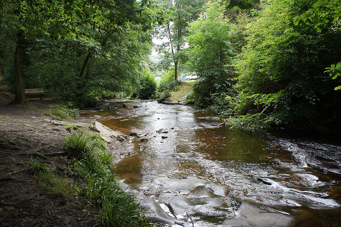
Crossing Luddenden Brook as I set off
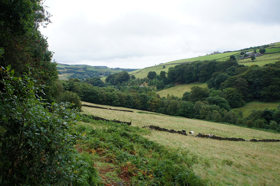
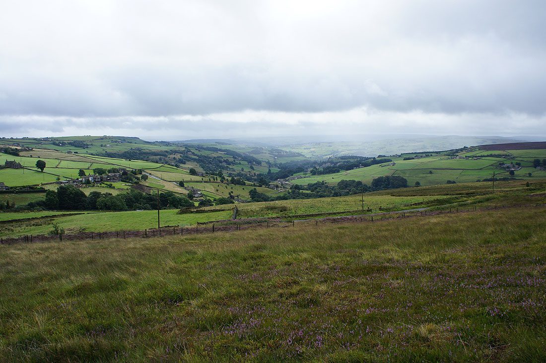
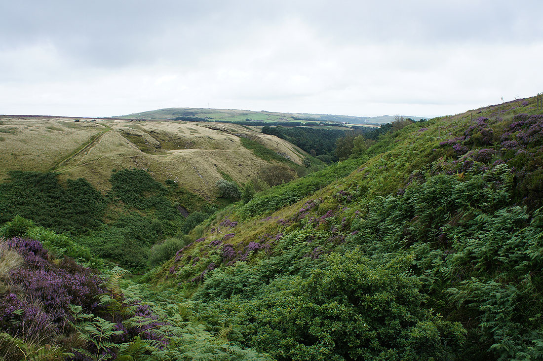
A view down..
..and up Luddenden Dean. Not the most pleasant of starts to the afternoon. A strong wind is blowing and there are drizzly showers passing through.
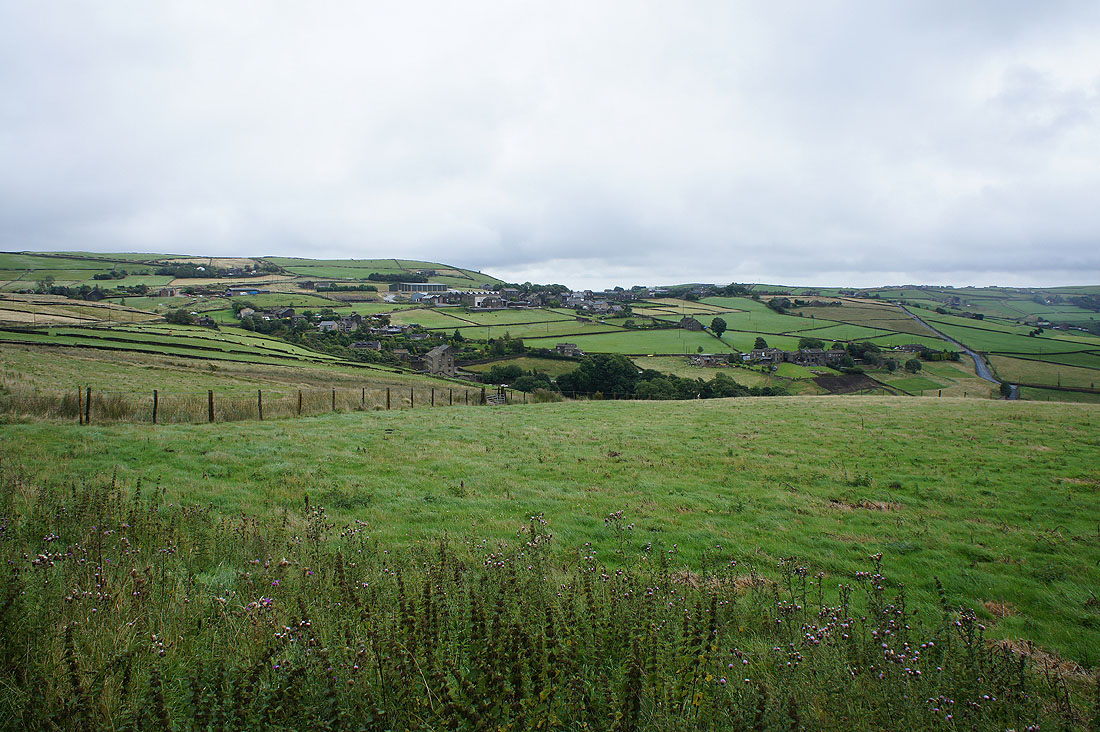
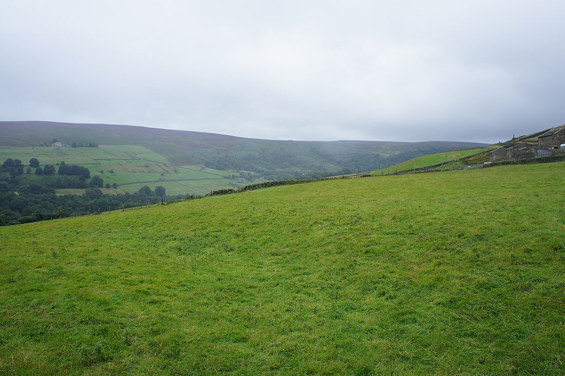
The hillside village of Wainstalls..
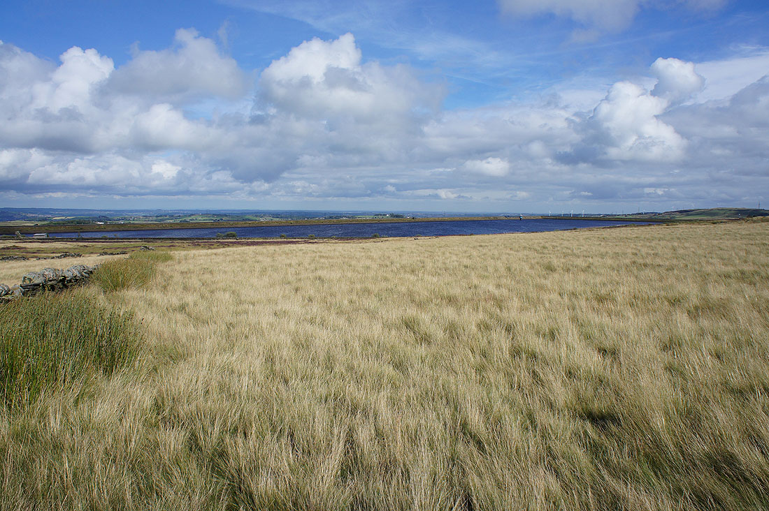
..and Calderdale as I follow the Calderdale Way across the southern end of Warley Moor
Haigh Cote Dam
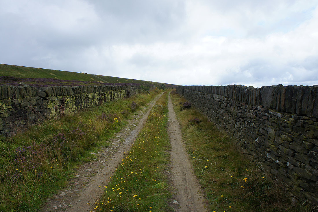
Onto the bridleway on Cold Edge, on the southern end of Ovenden Moor
Heading down into Ogden Clough
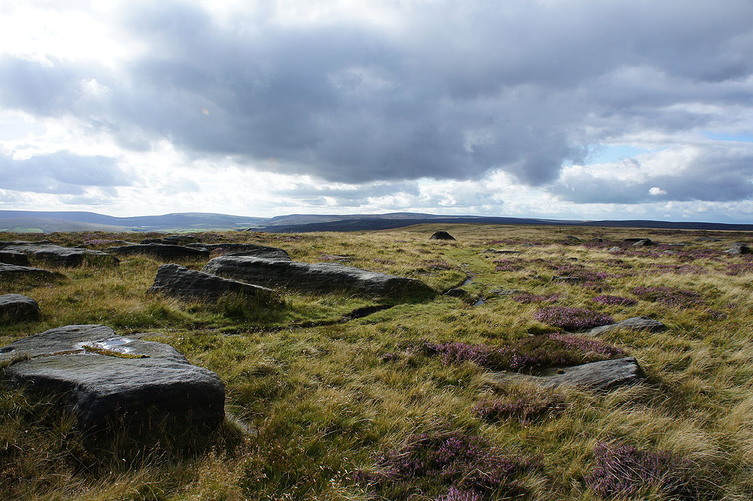
Very modest crags above Ogden Brook
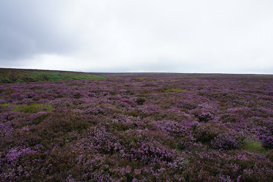
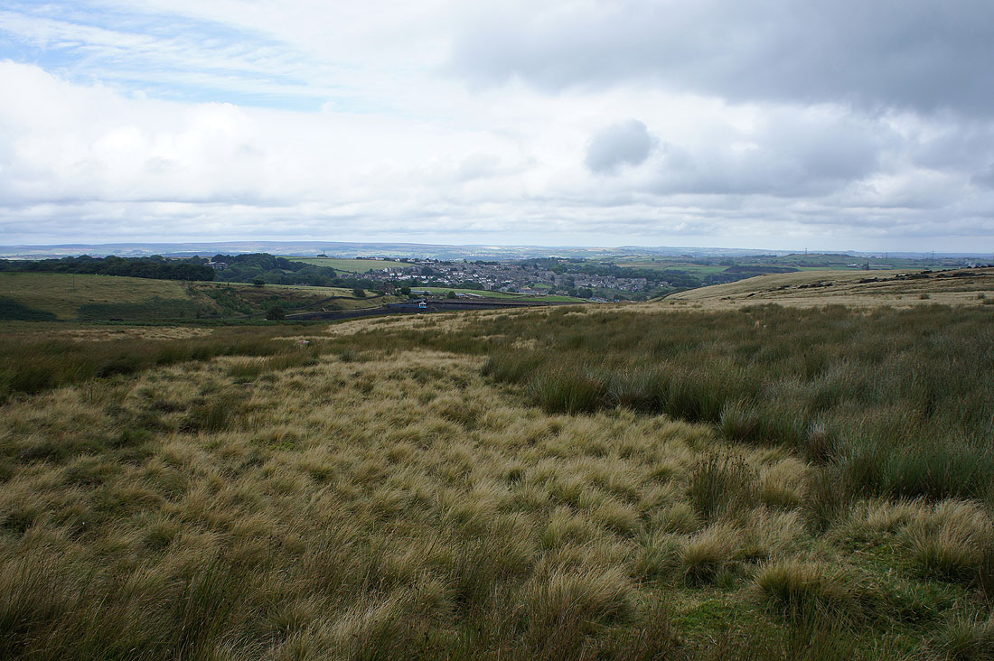
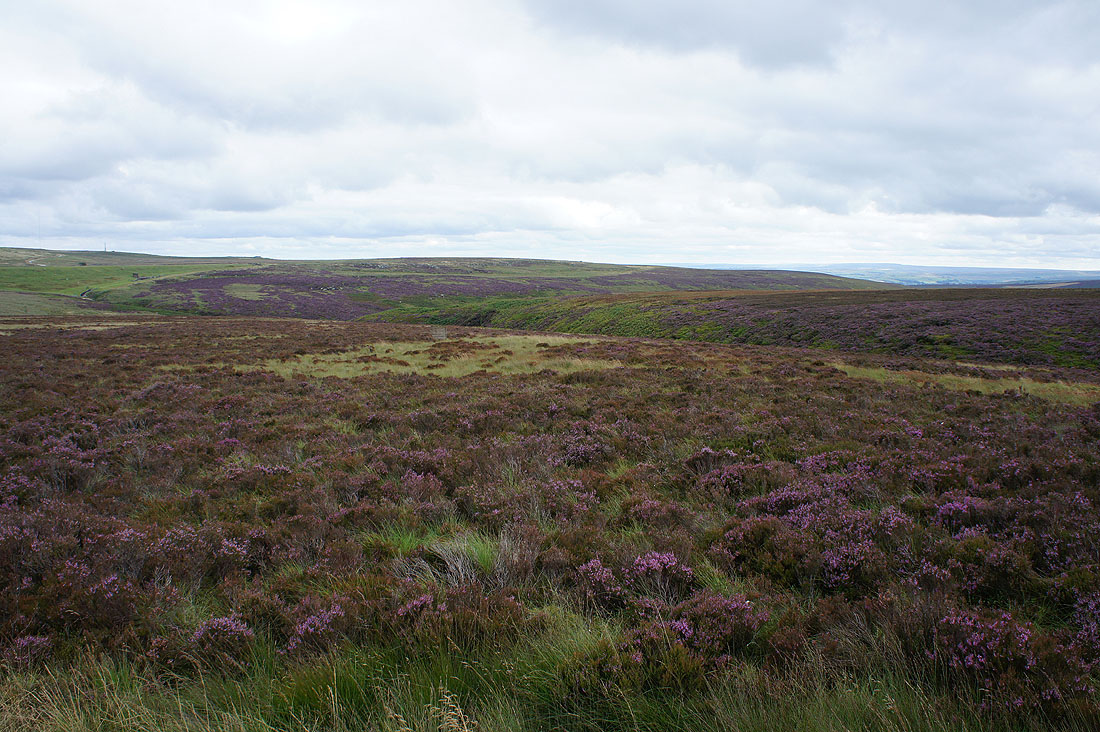
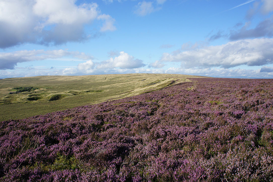
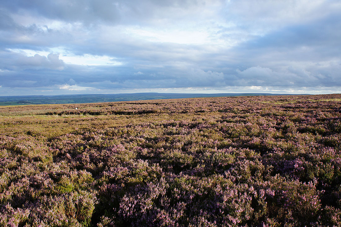
Despite the lack of sunshine the heather on Ovenden Moor still looks good
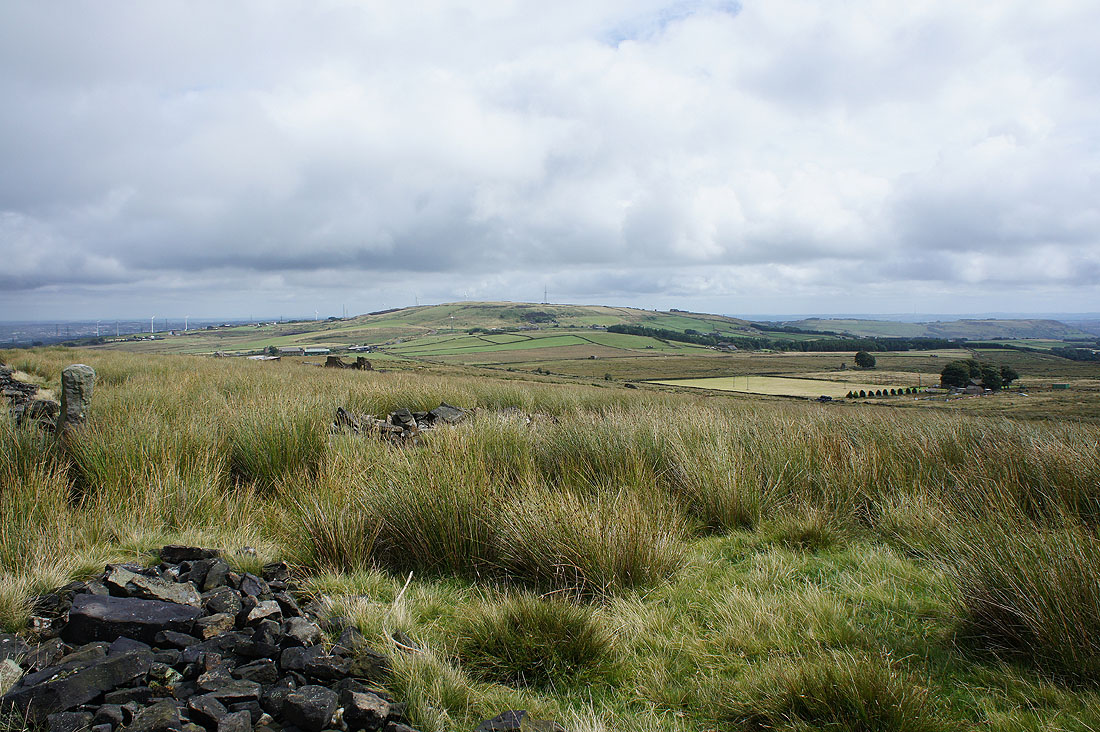
Hooray! Looks like it might be brightening up at last as I take the track of Foreside Lane. Sunshine on Soil Hill.
Denholme beyond a drained Stubden Reservoir from..
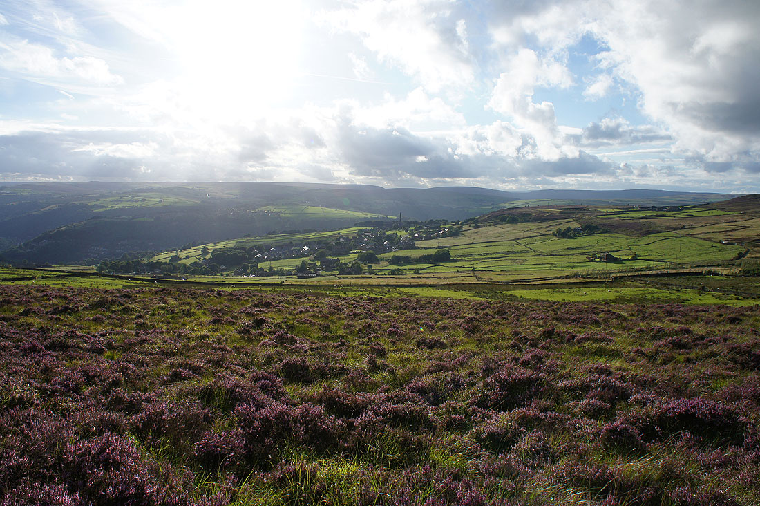
..the track of Thornton Moor Road
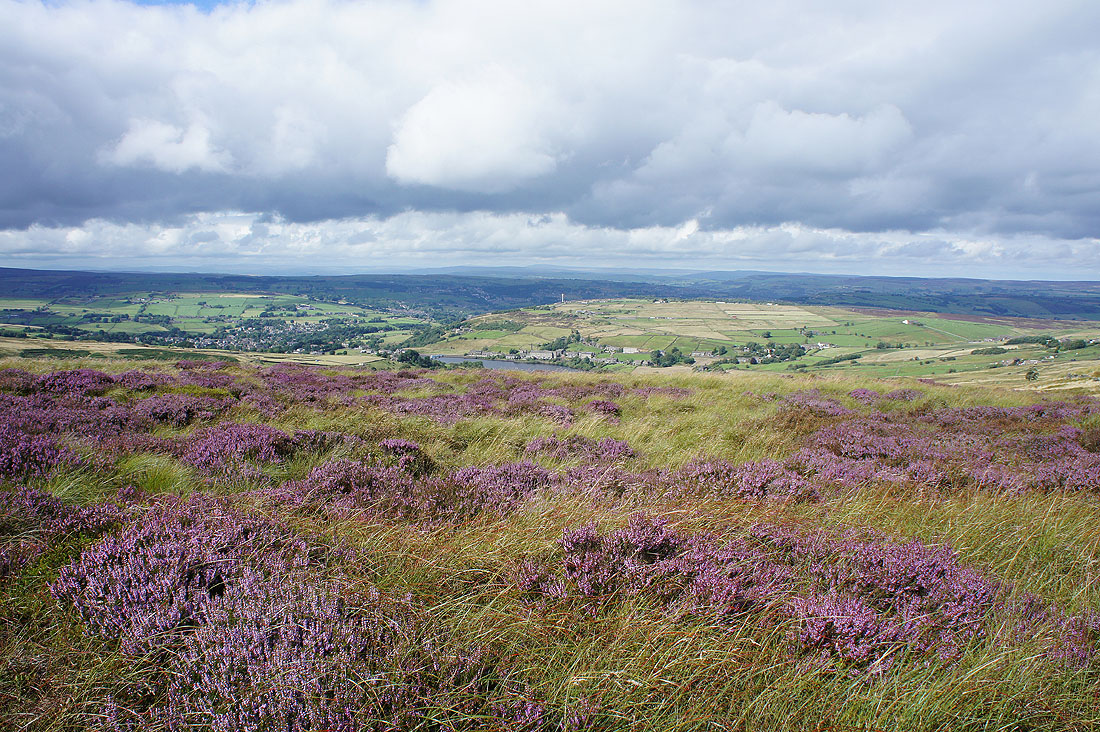
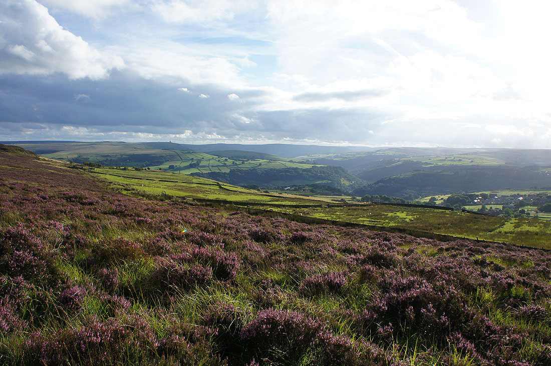
That was worth waiting for. Sat having my lunch by the Bronte Way to the north of Thornton Moor Reservoir and warm sunshine spreads across Oxenhope, Leeming Reservoir and Bronte Country.
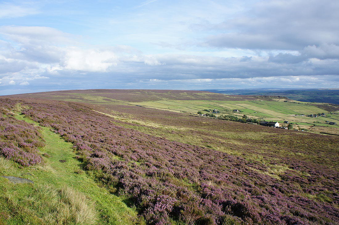
Looking back from the bridleway of Hambleton Lane
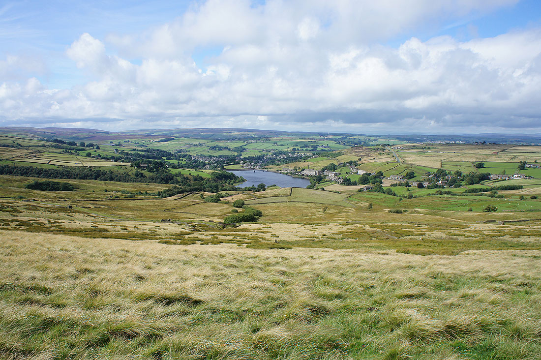
Thornton Moor Reservoir
The flowering heather provides a great foreground for a shot..
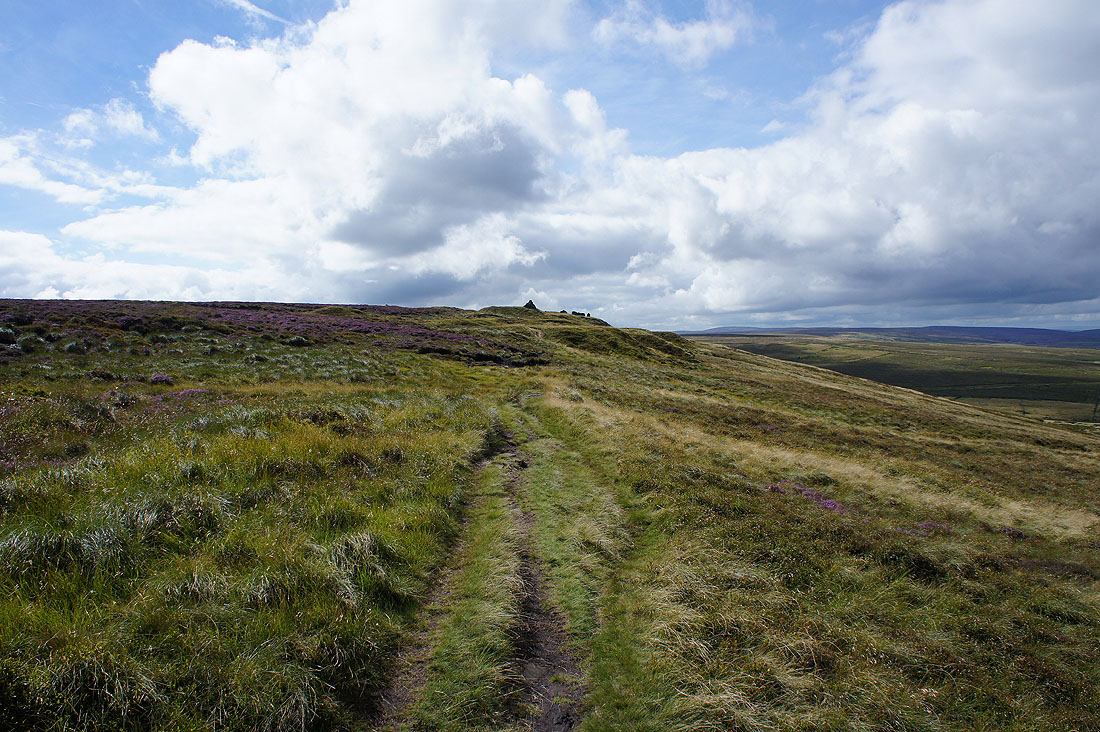
..as I head for the cairns on the northern edge of Nab Hill
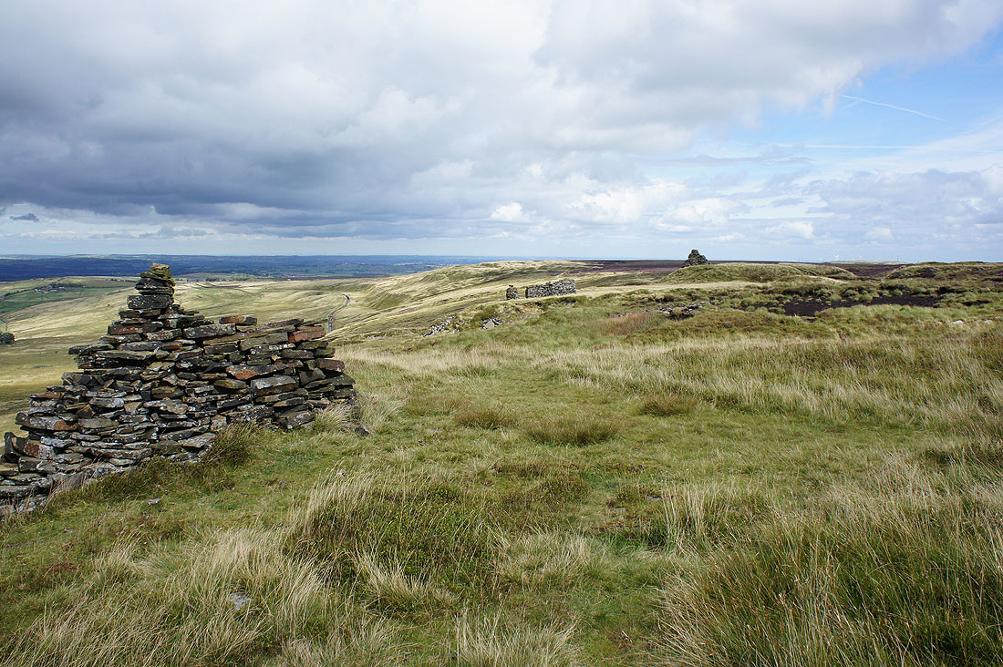
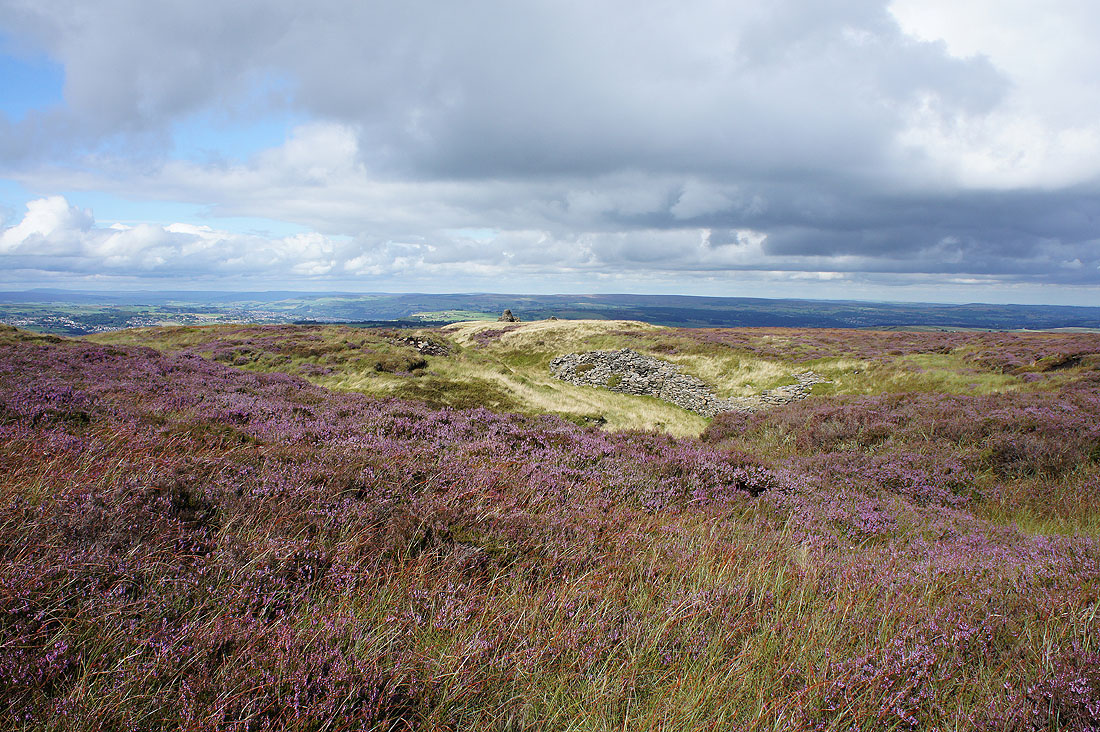
There are three large cairns perched on the edge here
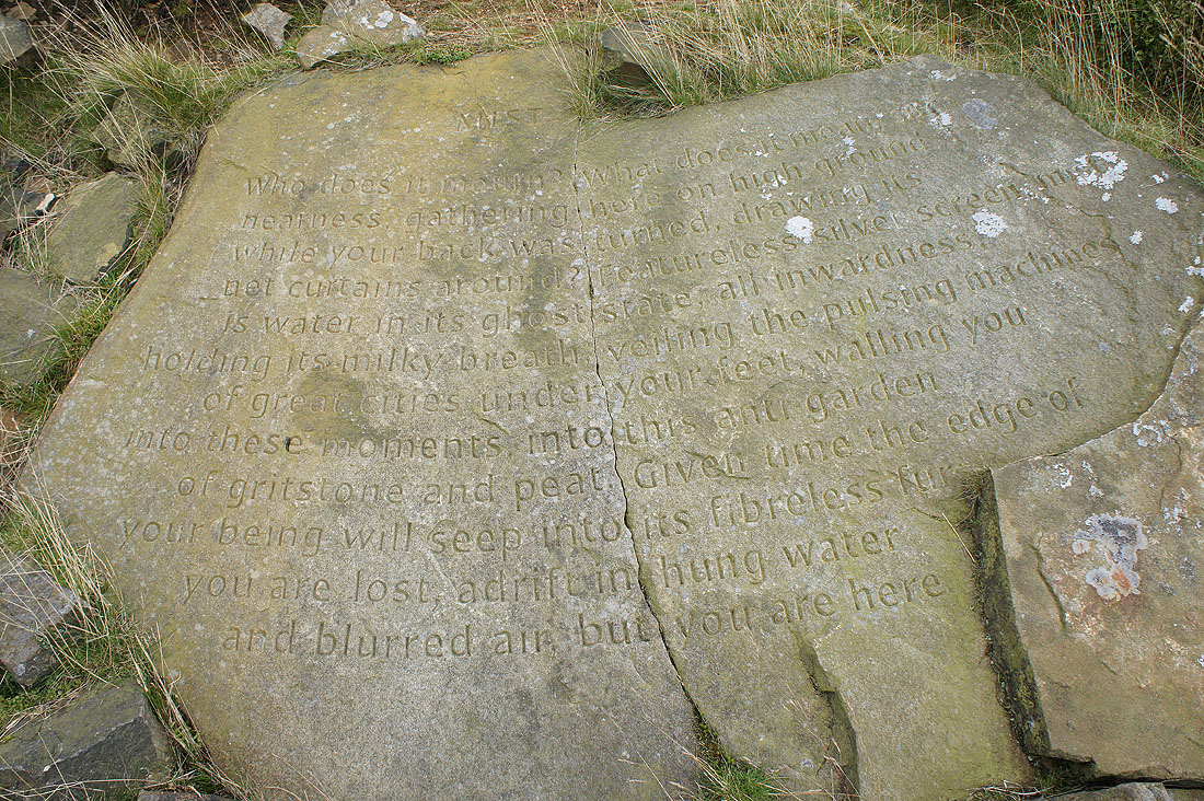
and the one that I'm stood next to has the Stanza Stone of "Mist" below it
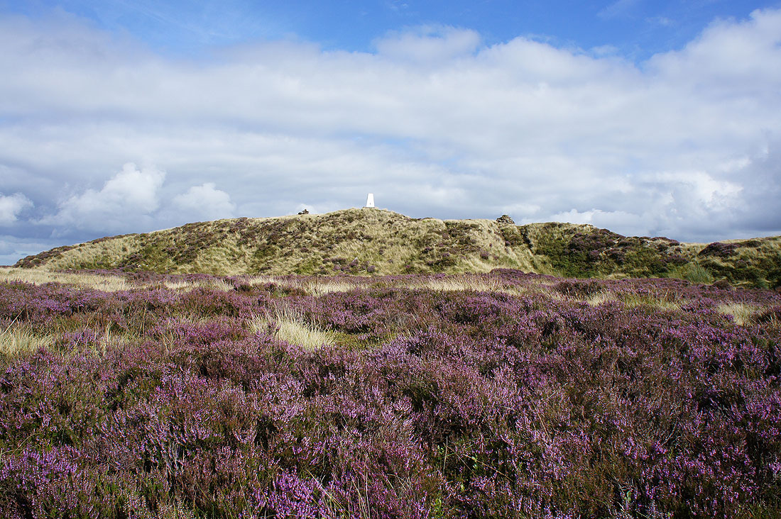
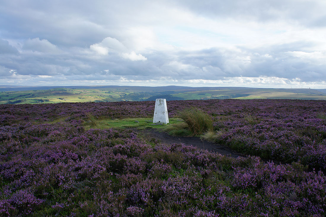
Since I was here I had to pay the trig point on the top of Ovenden Moor a visit
Confirmation of what I already suspected. The wind farm has been dismantled.
The heather is looking great as I make my way back to the cairns..
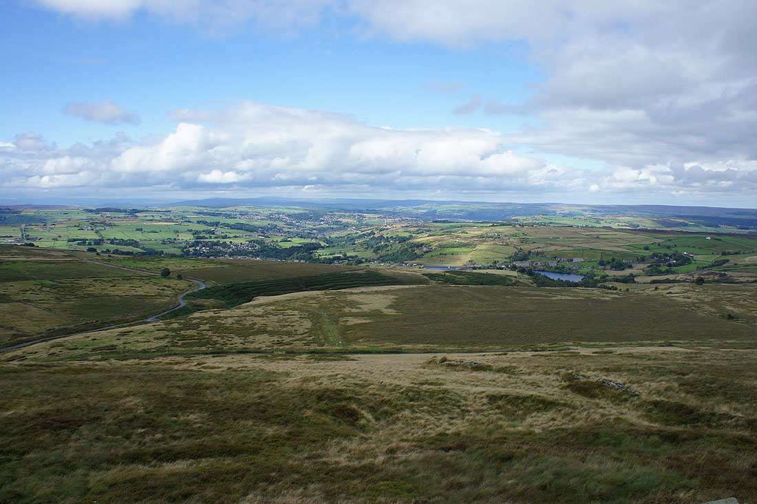
Back at the northern edge of Nab Hill for a last look north to Oxenhope, Haworth and Bronte Country
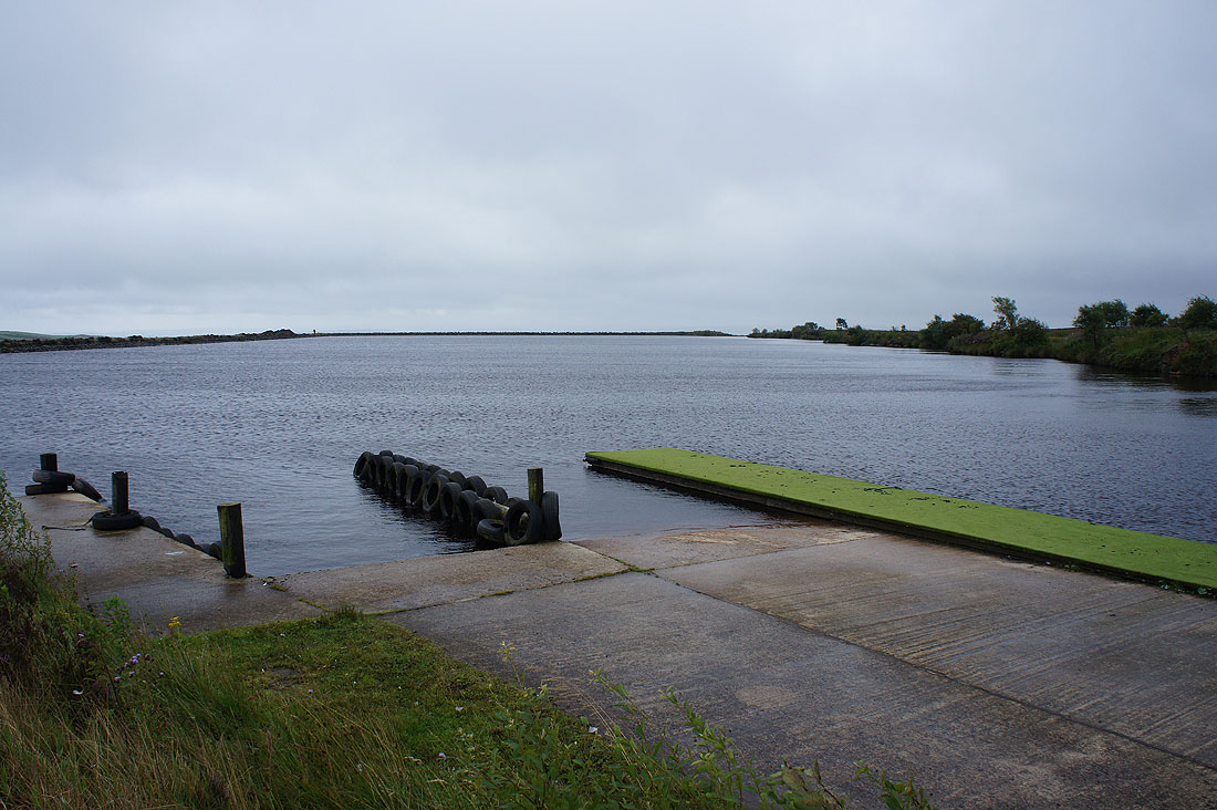
Heading for Warley Moor Reservoir
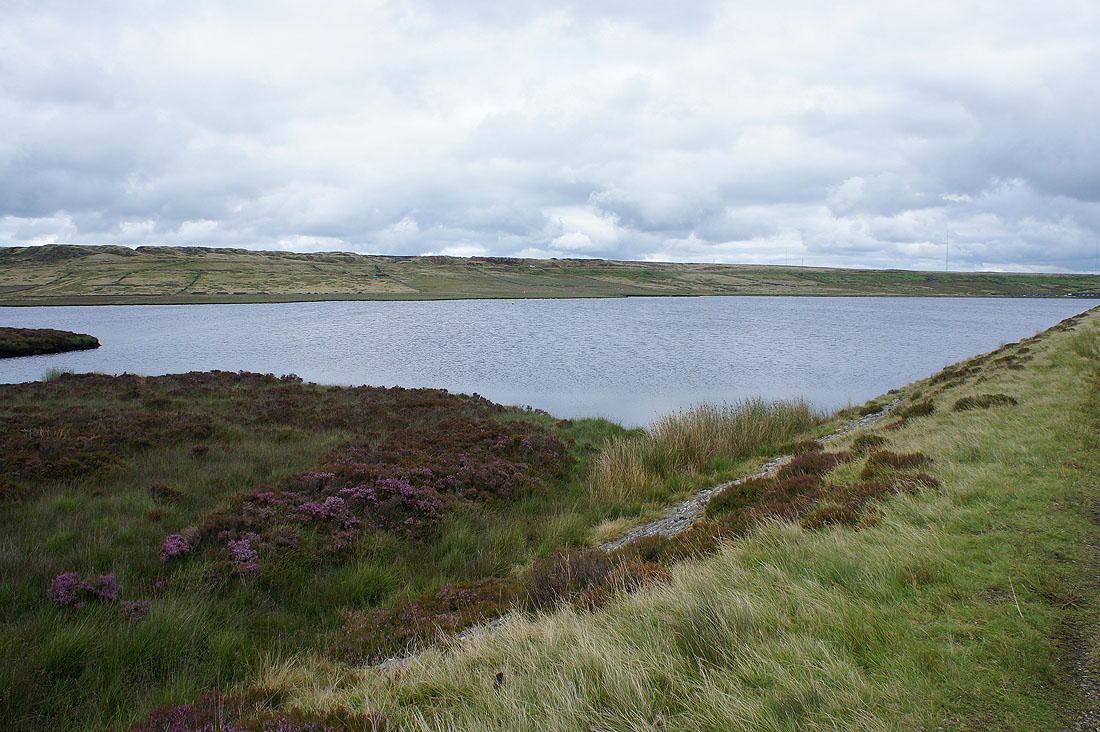
and by its dam with Ovenden Moor behind
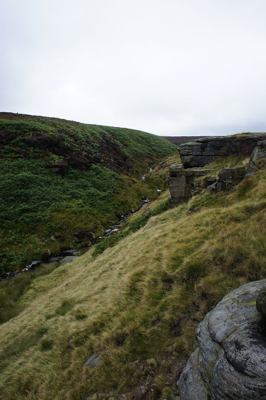
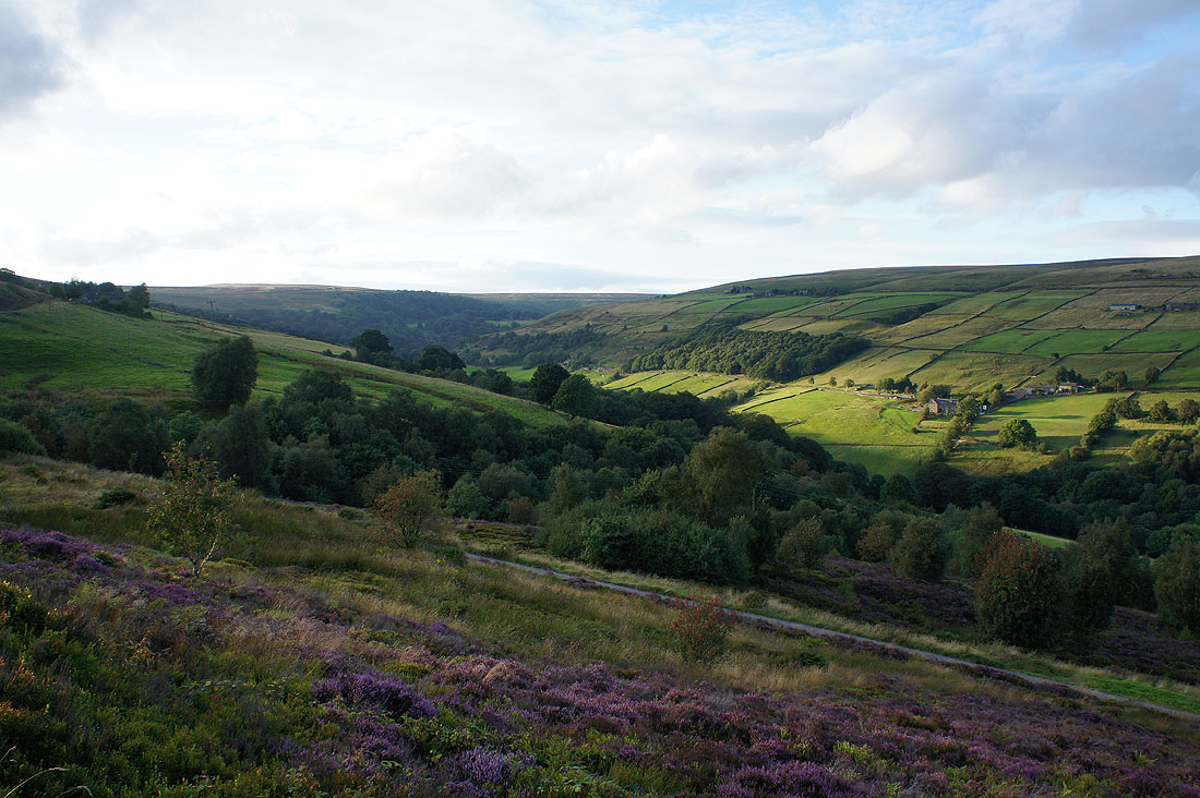
Spa Clough and the top of Luddenden Dean
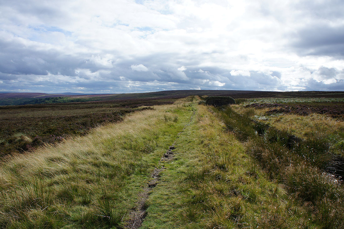
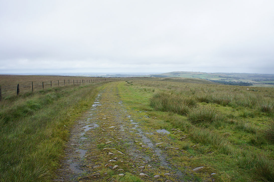
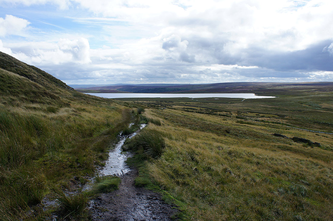
I'll be following this path by a catchwater drain until I reach the northern end of Midgley Moor
Heather covered moors surround Luddenden Dean to my left
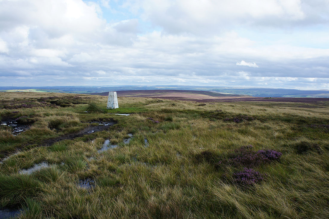
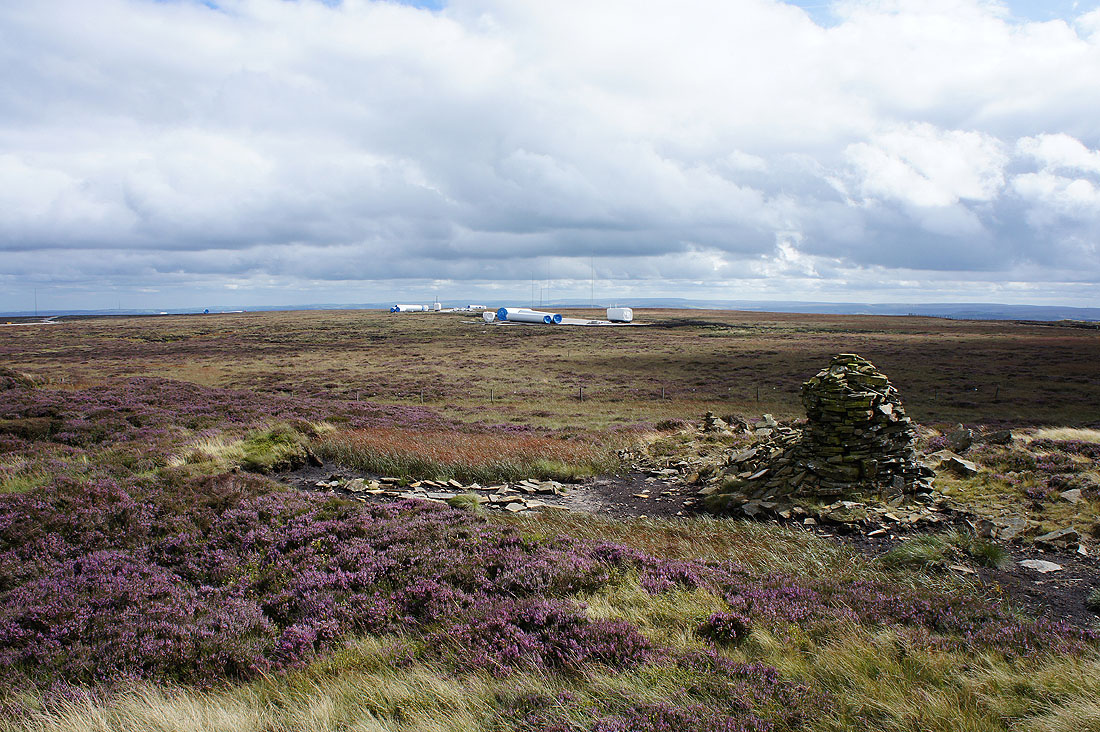
At the trig point on High Brown Knoll above Midgley Moor
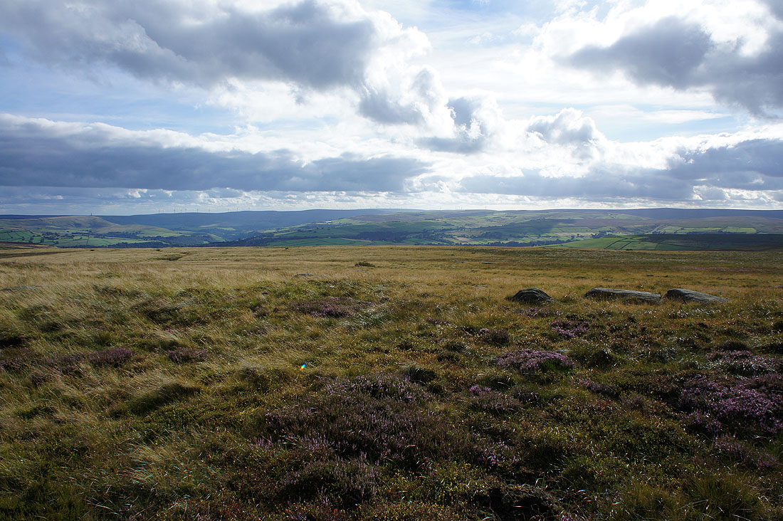
The view to the southwest and west with Stoodley Pike on the left round to the moors above Hebden Dale
The Gorple Reservoirs, Widdop Reservoir and Boulsworth Hill to the northwest
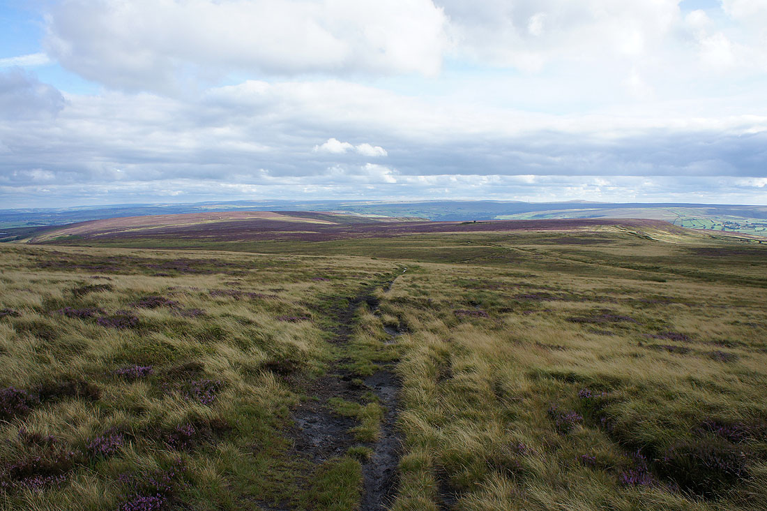
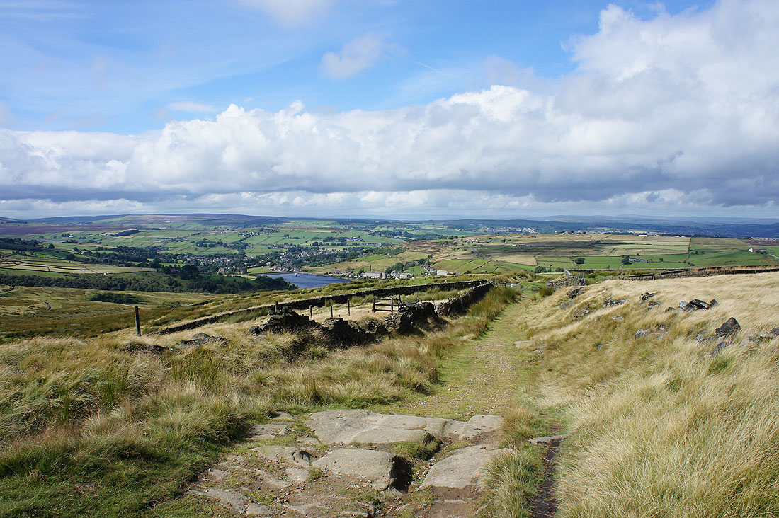
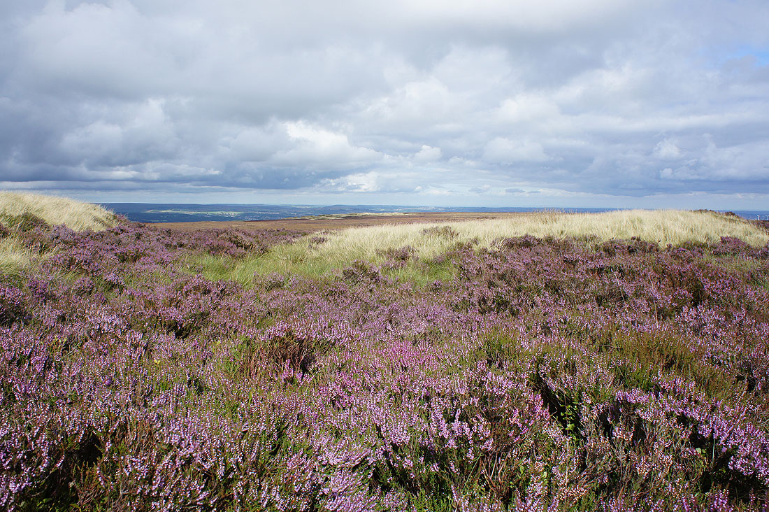
Heading south onto Midgley Moor
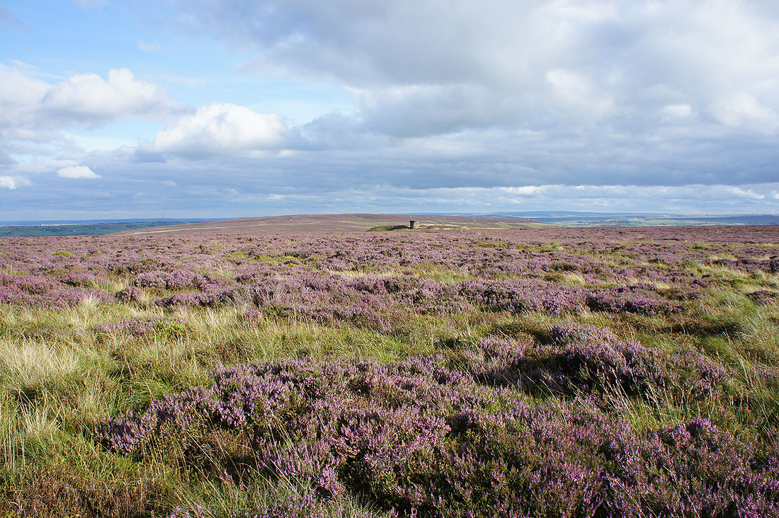
I'm really grateful that the sun is out to make the heather look its best
Looking back and the trig point on High Brown Knoll is on the top of that hill
I'm now going to traverse this western side of Midgley Moor all the way to its southern end. What I didn't bank on was the bull stood in the heather in the distance on the left (out of shot). It had spotted me and was gazing longingly across the moor. I didn't want to get to know it better though, so I had to drop down the hillside out of sight, a bit uncomfortable through pathless heather.
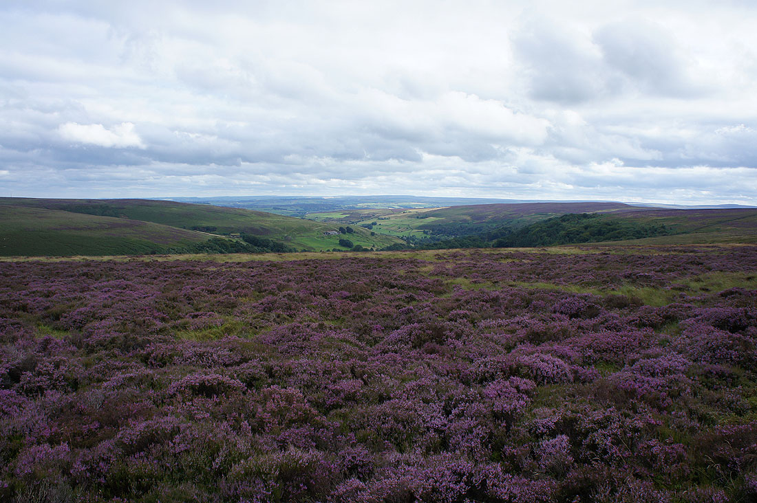
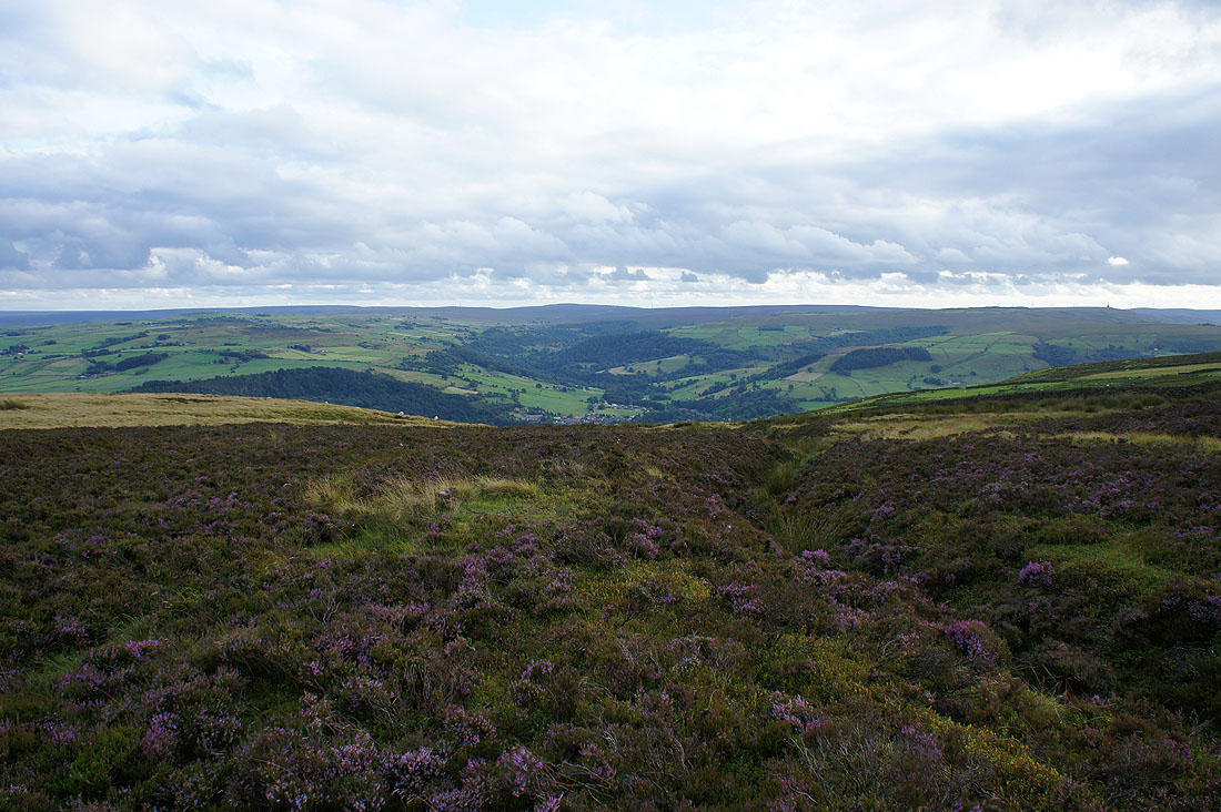
It did mean that I enjoyed this view across Calderdale and Hebden Dale..
By the trig point on the southern end of Midgley Moor
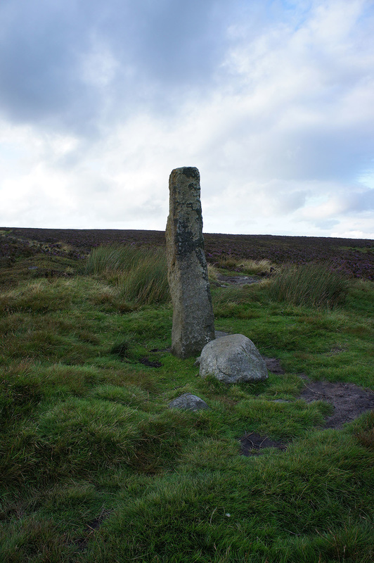
The guide stone of Churn Milk Joan
Looking south to Cragg Vale. The highest hill in the distance is Blackstone Edge.
Heading for the eastern side of Midgley Moor and Luddenden Dean
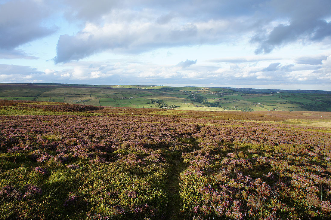
The low evening sun gives a great colour to the moor
A last shot of Luddenden Dean as I set a quick pace back to where I'm parked