13th August 2019 - Weets Hill
Walk Details
Distance walked: 9.1 miles
Total ascent: 1329 ft
OS map used: OL21 - South Pennines
Time taken: 3 hrs
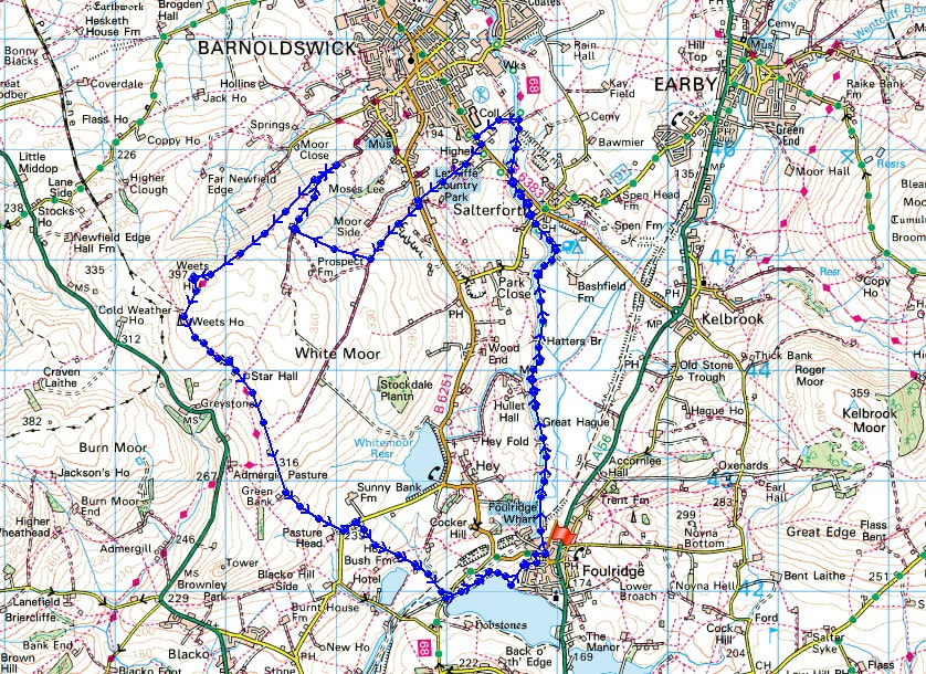
Route description: Foulridge-Leeds and Liverpool Canal-Cockshott Bridge-Pennine Bridleway-Lister Well Road-Higher View-Folly Lane-Pendle Way-Weets Hill-Pendle Way-Weets House Farm-Gisburn Old Road-Standing Stone Lane-Whitemoor Riding Centre-Holly Bush Farm-Sand Hall-Reedymoor Lane-Foulridge Lower Reservoir-Foulridge
Just two weeks after my first walk up Weets Hill in the evening after getting home from work and I'm heading up there again. It's a beautiful summer's evening, too good to not make the most of it. The route that I'd planned meant that I couldn't waste any time dawdling, especially with the sun setting that bit earlier than it did two weeks ago, though once I'd made it to the summit of Weets Hill I knew that I could spare a few moments to take in the view. It was downhill most of the way to home from there with a lot of it on tarmacked road, a good pace was set.
From where I live in Foulridge I made my way down to the Leeds and Liverpool Canal and followed the towpath north to the marina just south of Barnoldswick, where I crossed the canal via Cockshott Bridge and onto the Pennine Bridleway. I then followed the Pennine Bridleway up to the B6383, up Hurst Hill to the B6251 and then up the track of Lister Well Road until I reached a gate on the right and a footpath across access land to Higher View at the top of Folly Lane. I then walked down Folly Lane until I reached a stile and the trail of the Pendle Way. The stile was crossed and the Pendle Way followed up to the summit of Weets Hill. After taking a short break I returned to the Pendle Way to reach Weets House Farm at the top of Gisburn Old Road. I then walked all the way down Gisburn Old Road, turned left onto Standing Stone Lane, then took the footpath on the right through Whitemoor Riding Centre down to Holly Bush Farm, then down a lane past Sand Hall to Reedymoor Lane. After walking up to the edge of Foulridge Lower Reservoir I followed the path along its shore clockwise to a ladder stile over a wall, which I crossed, and then the path north across a couple of fields and along the edge of a housing estate took me back to Whitemoor Road in Foulridge for a short walk back home.
Route map
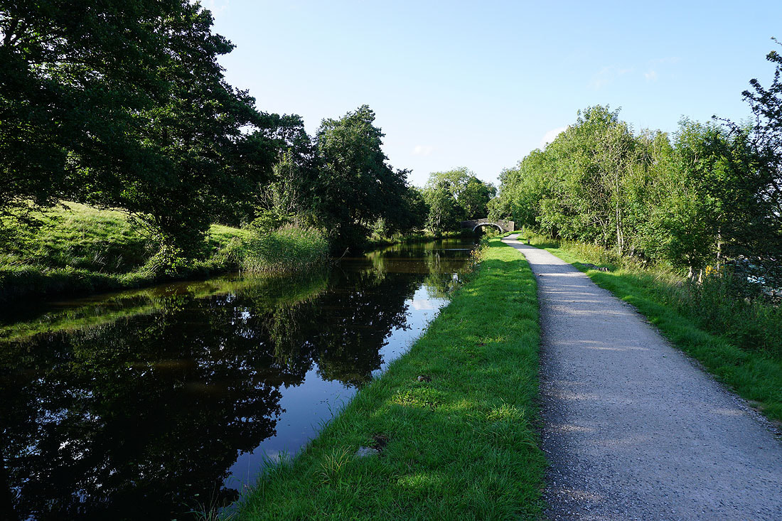
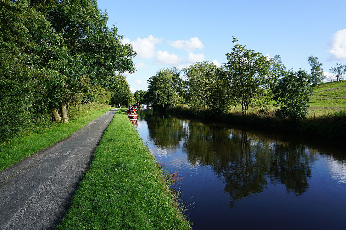
Setting off with following the towpath north by the Leeds and Liverpool Canal
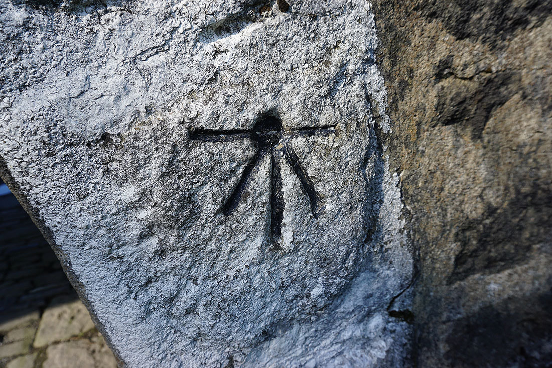
OS benchmark on a bridge over the canal
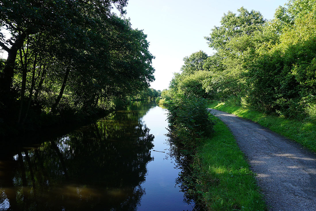
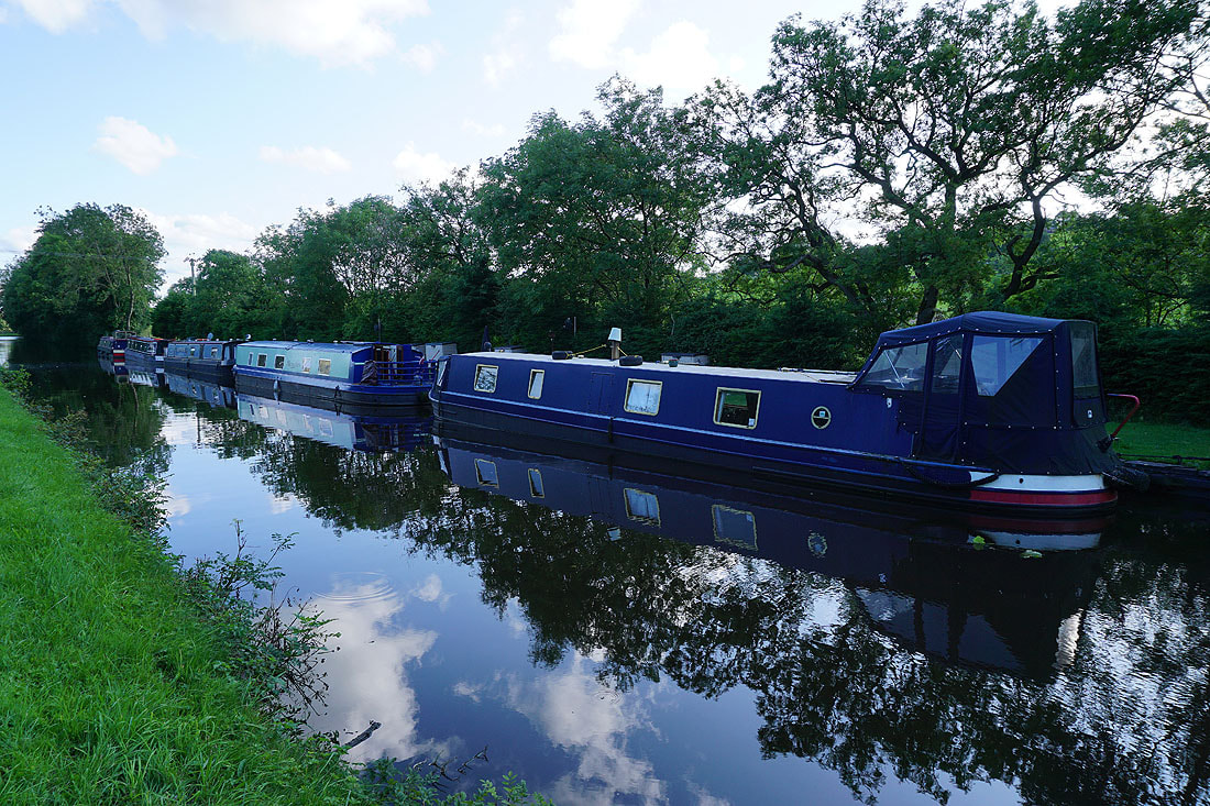
Reflections
Bleara Moor, Kelbrook and Kelbrook Moor
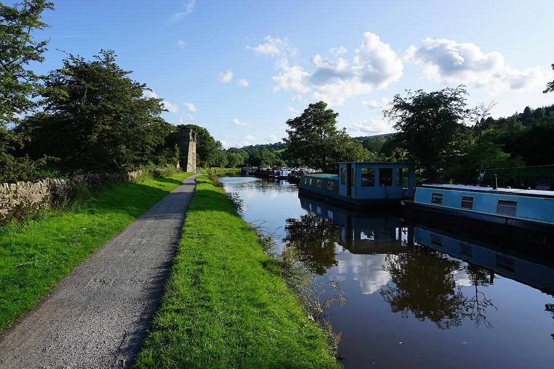
Canalside scenery as I head north towards Barnoldswick...
The canal has been left behind for the Pennine Bridleway up Hurst Hill. The views open up to the Yorkshire Dales and to Boulsworth Hill...
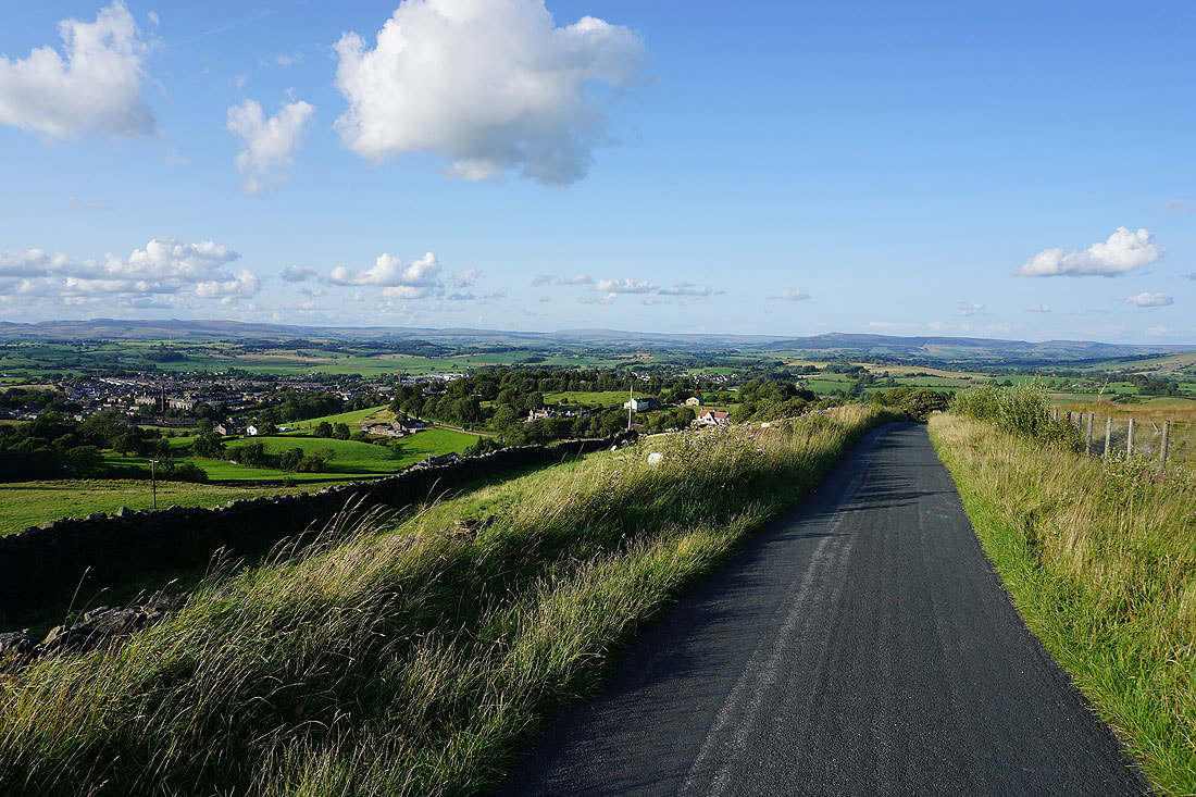
On the Pennine Bridleway up Lister Well Road. Ingleborough and the hills around Settle in the distance with Barnoldswick below.
As well as Great Whernside and Barden Moor
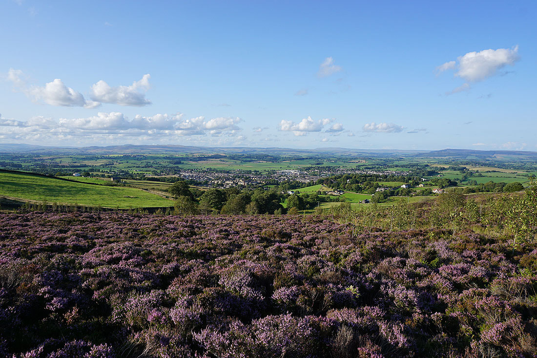
Blooming heather with Barnoldswick below as I follow the path across the moor to Folly Lane
Pinhaw Beacon above Earby, Bleara Moor and Kelbrook Moor
Great Whernside and Barden Moor in the distance
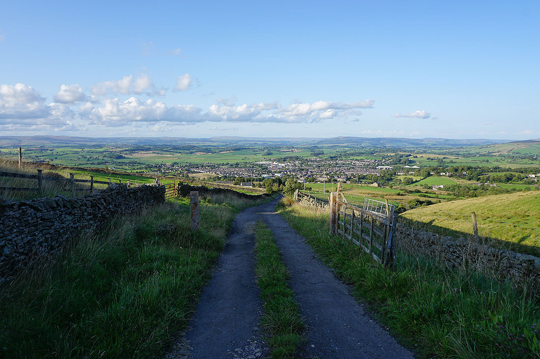
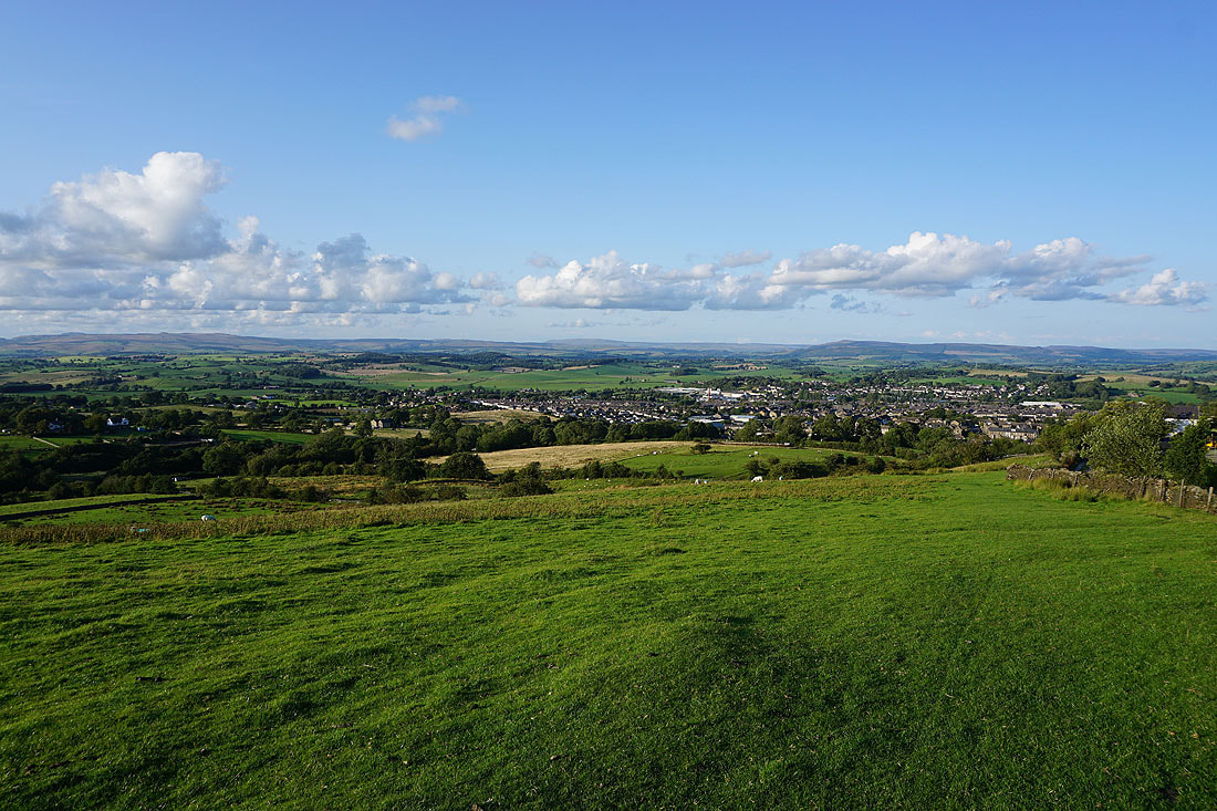
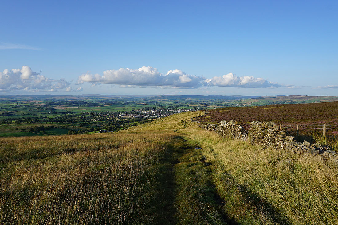
Barnoldswick from Folly Lane
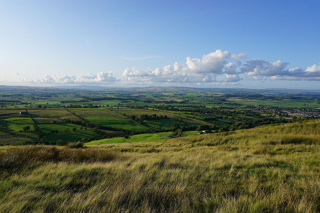
Fantastic views across to the Yorkshire Dales as I follow the Pendle Way to the summit of Weets Hill...
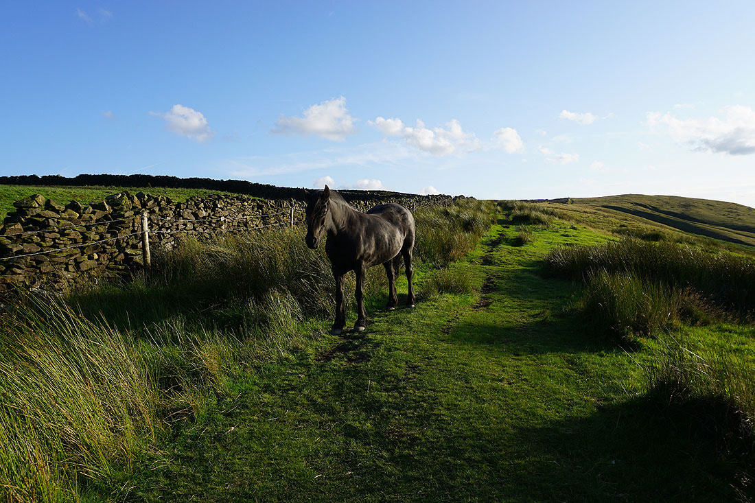
Meeting a local along the way
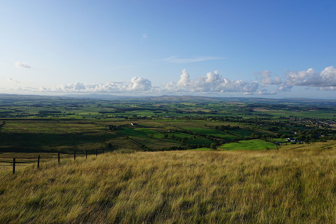
I can't stop taking in that view to the north. There's a glorious light this evening..
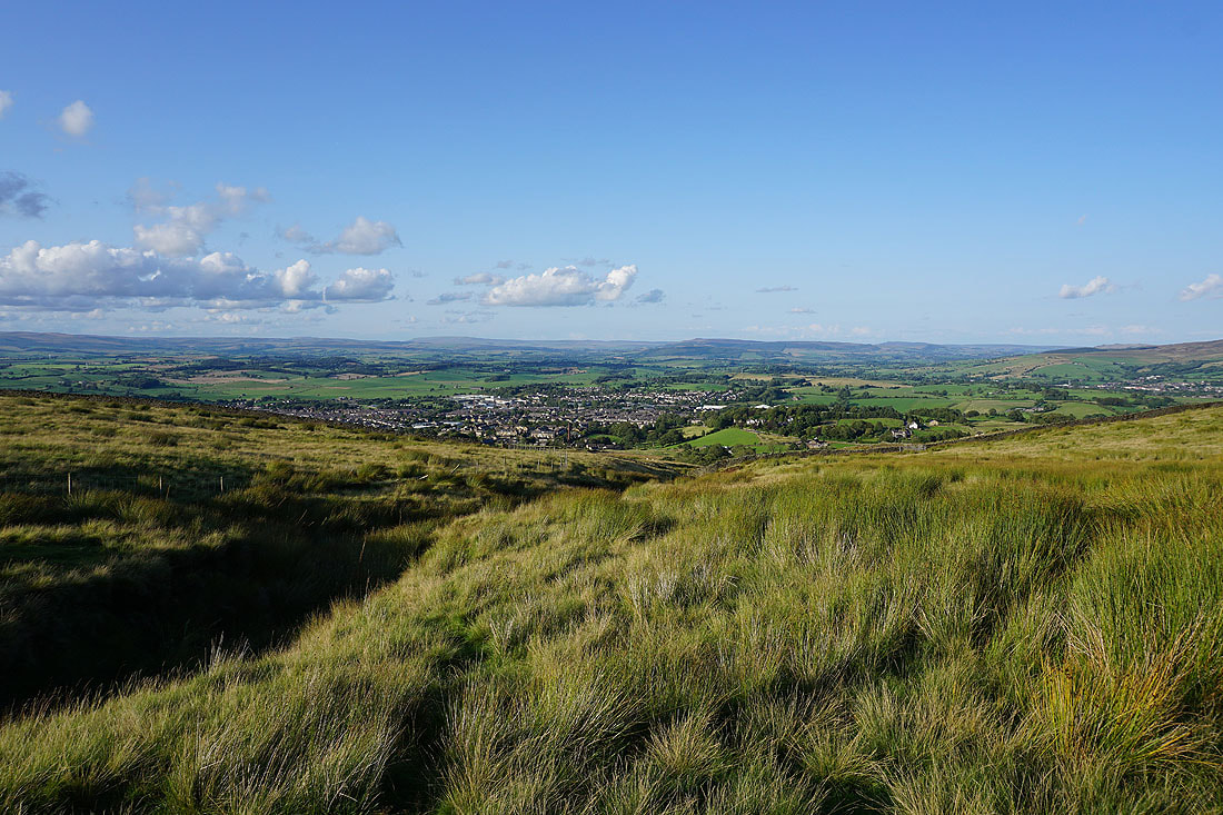
Great Whernside and Barden Moor in the distance behind Barnoldswick
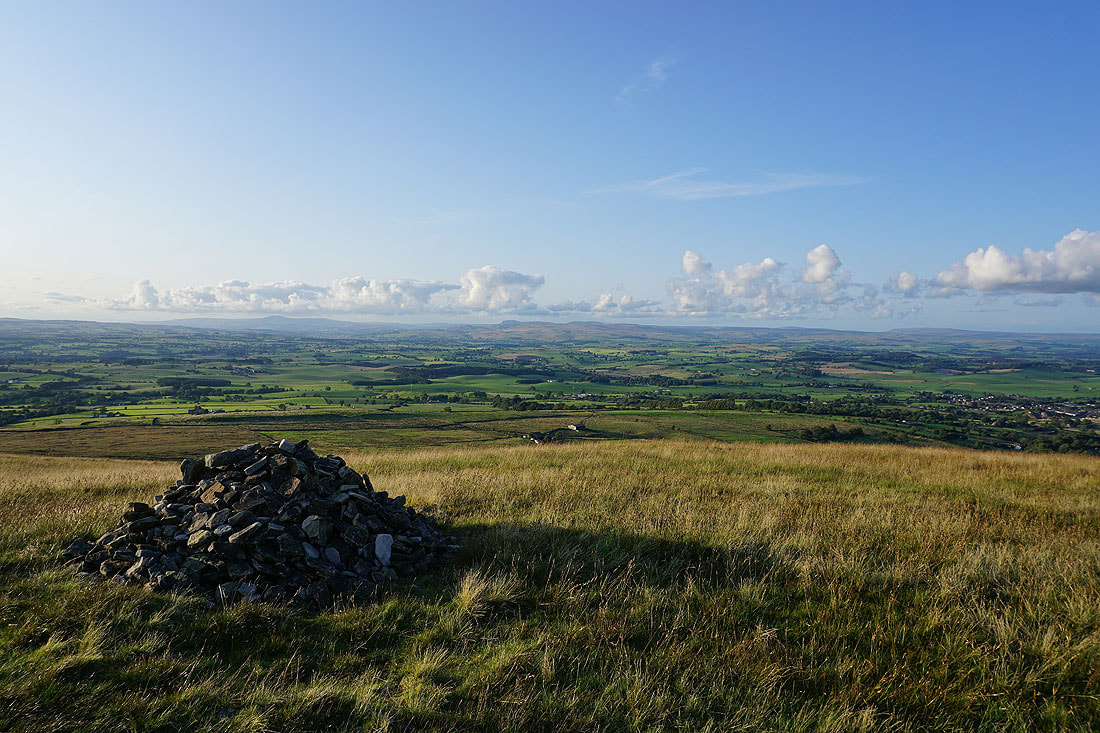
The distant summits of Ingleborough, Penyghent, Buckden Pike and Great Whernside from the cairn at the eastern end of the summit of Weets Hill
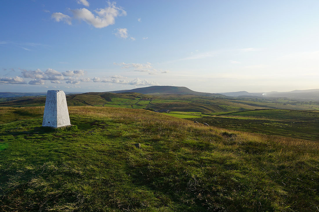
Pendle Hill from the trig point
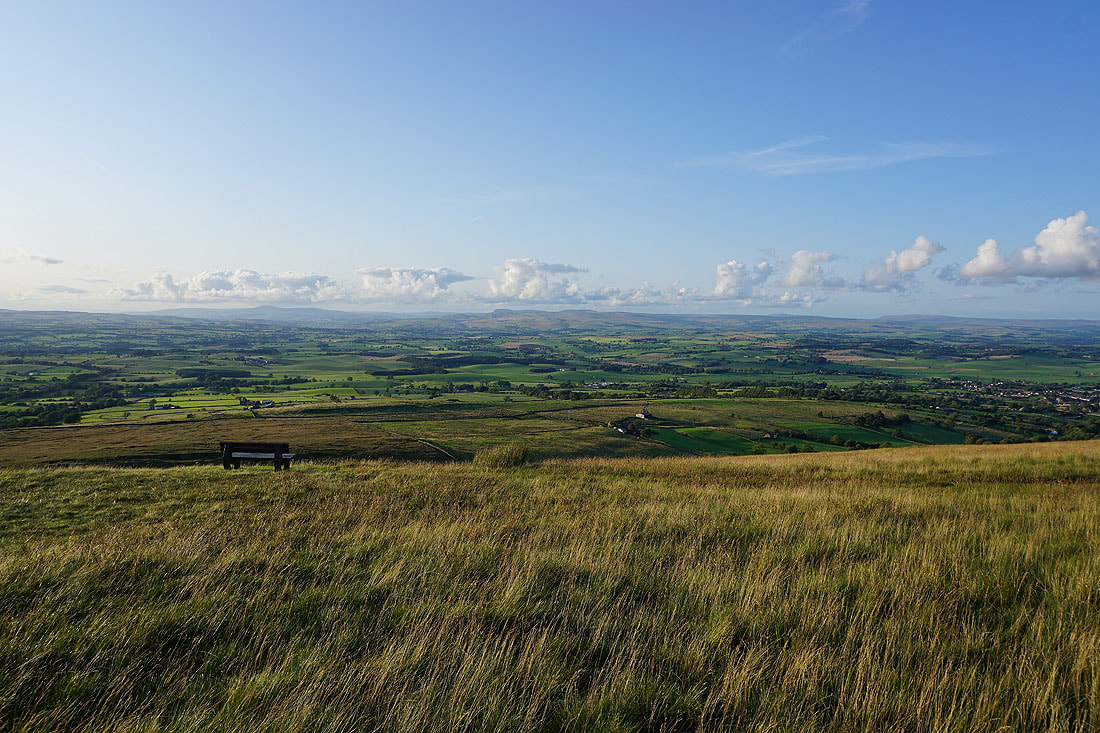
That bench has some view and I'm going to make use of it
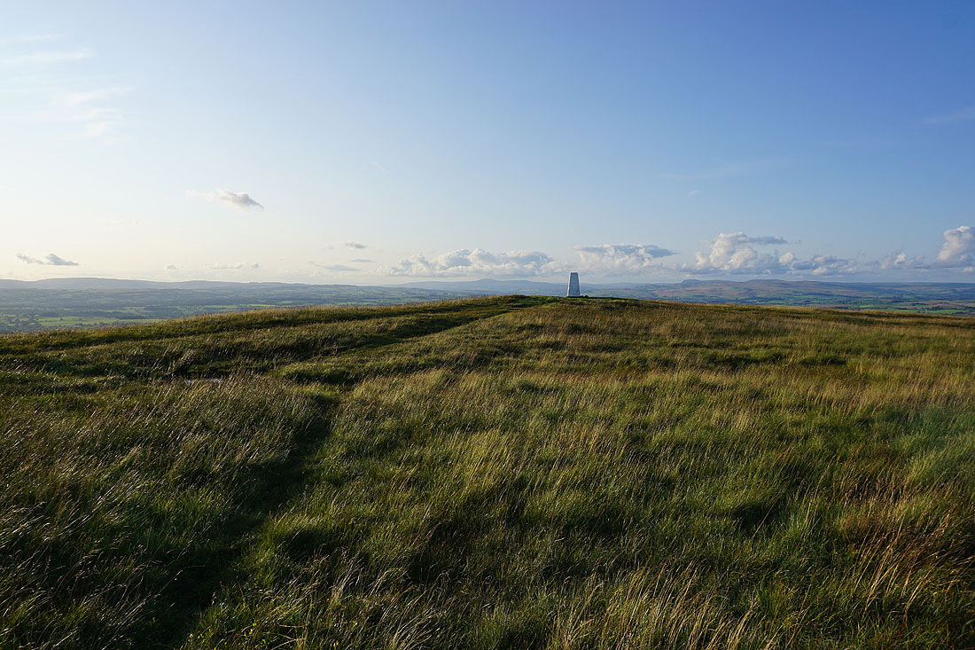
It's a shame to have to leave on an evening like this
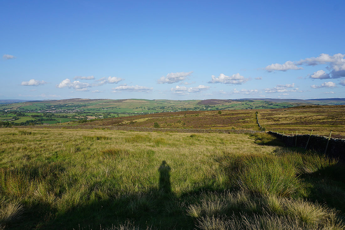
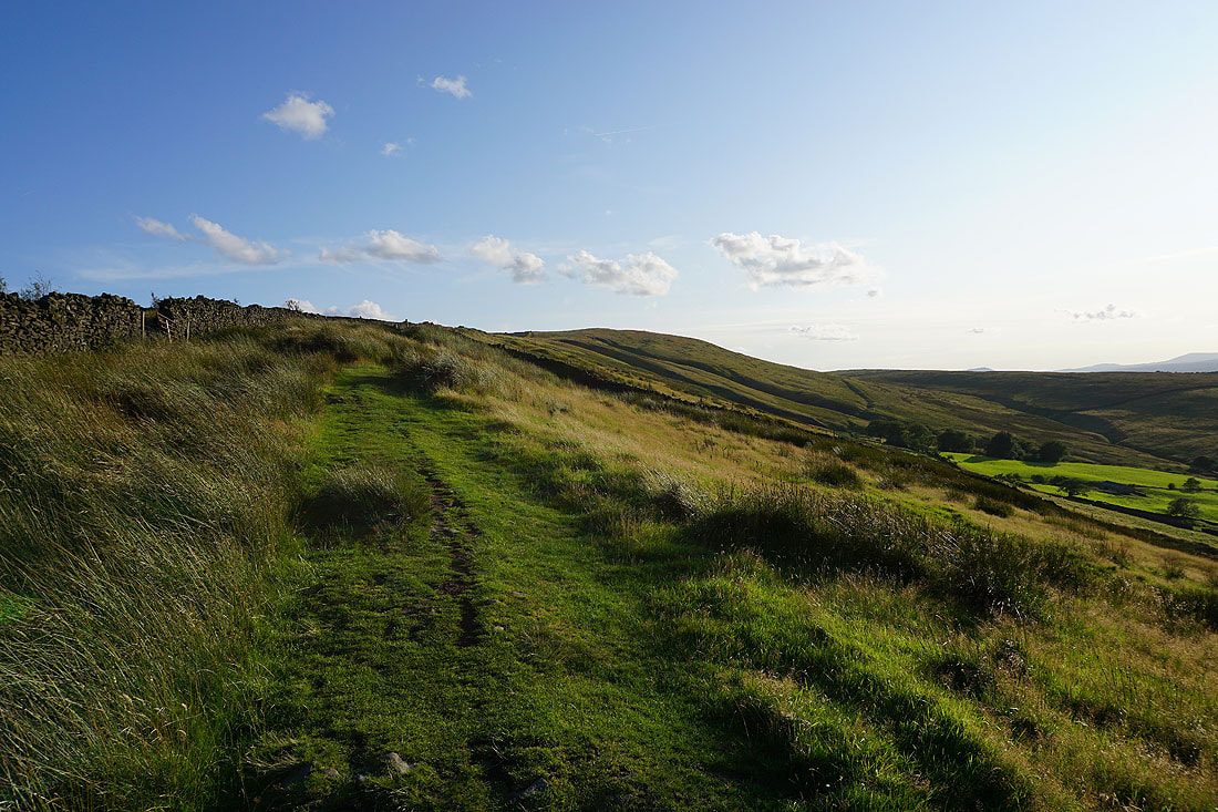
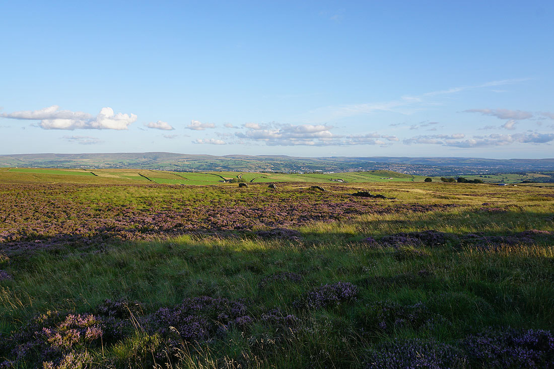
The heathery moors of Weets Hill with Boulsworth Hill, Hoof Stones Height and Thieveley Pike in the distance
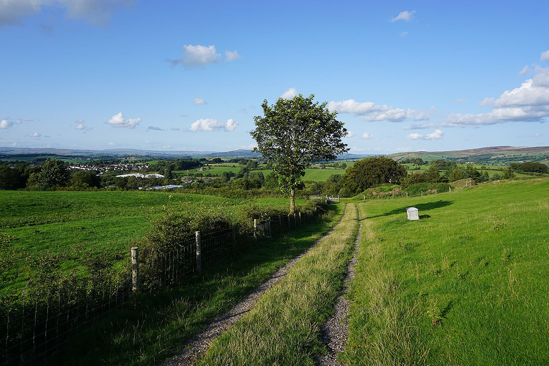
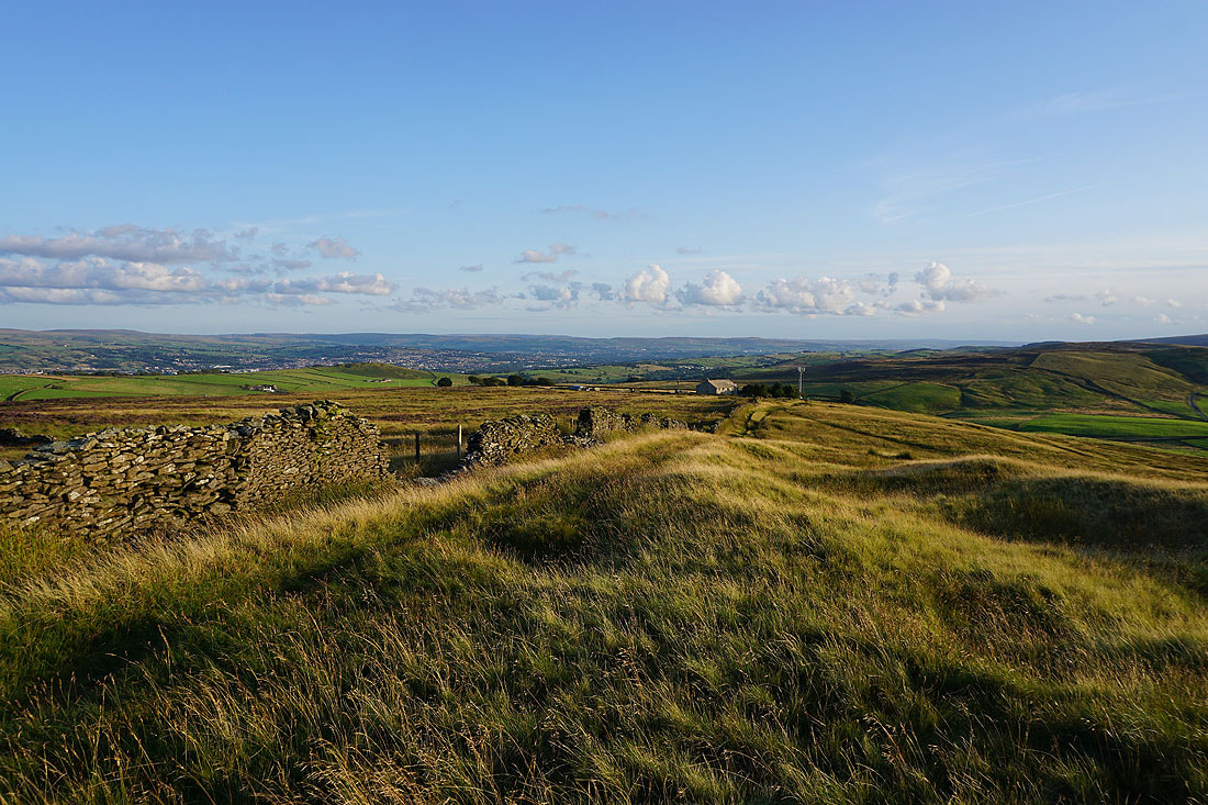
On the Pendle Way to Weets House Farm
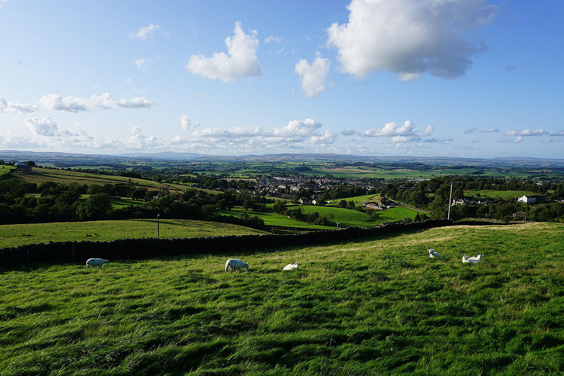
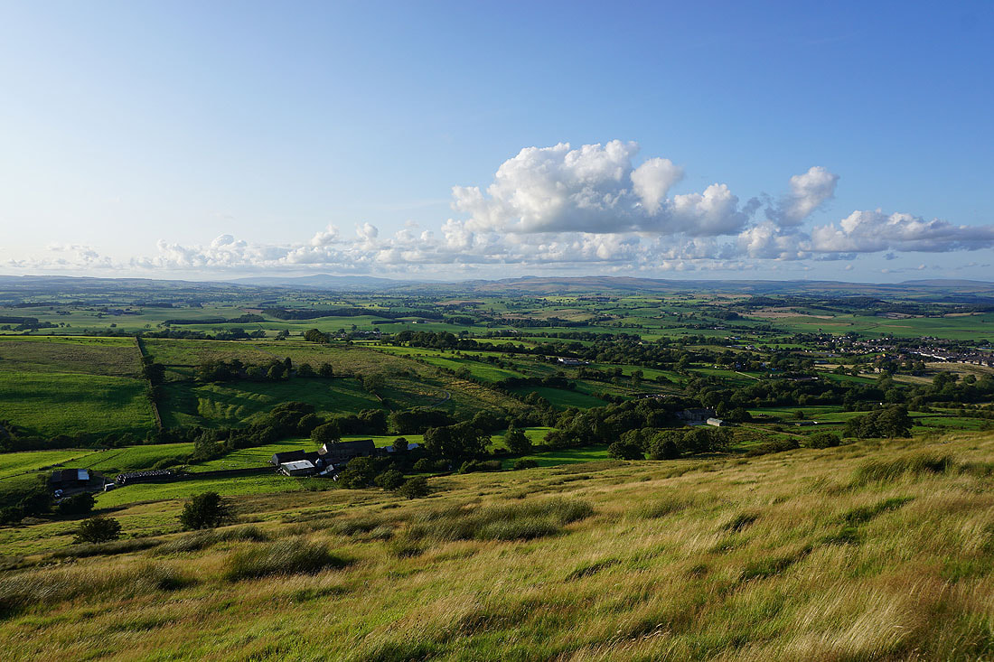
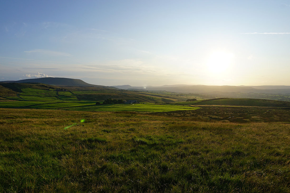
Pendle Hill and the Forest of Bowland
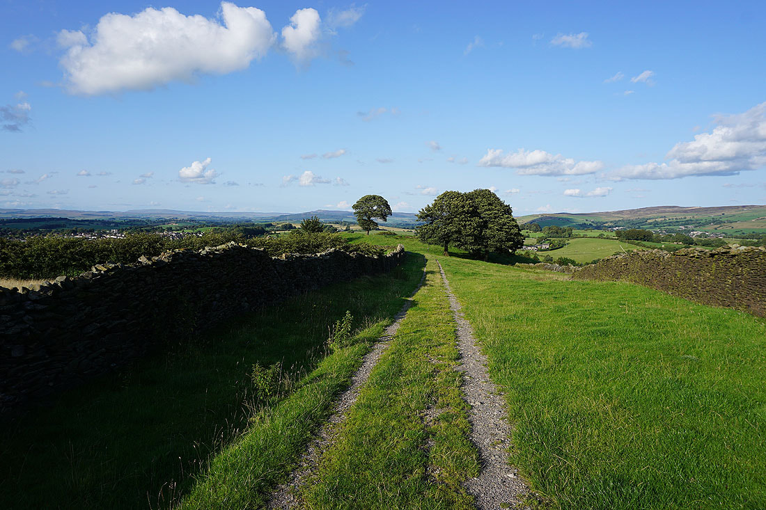
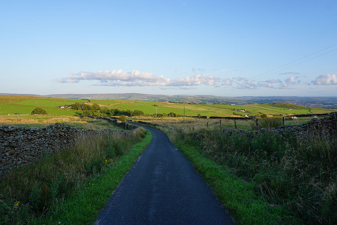
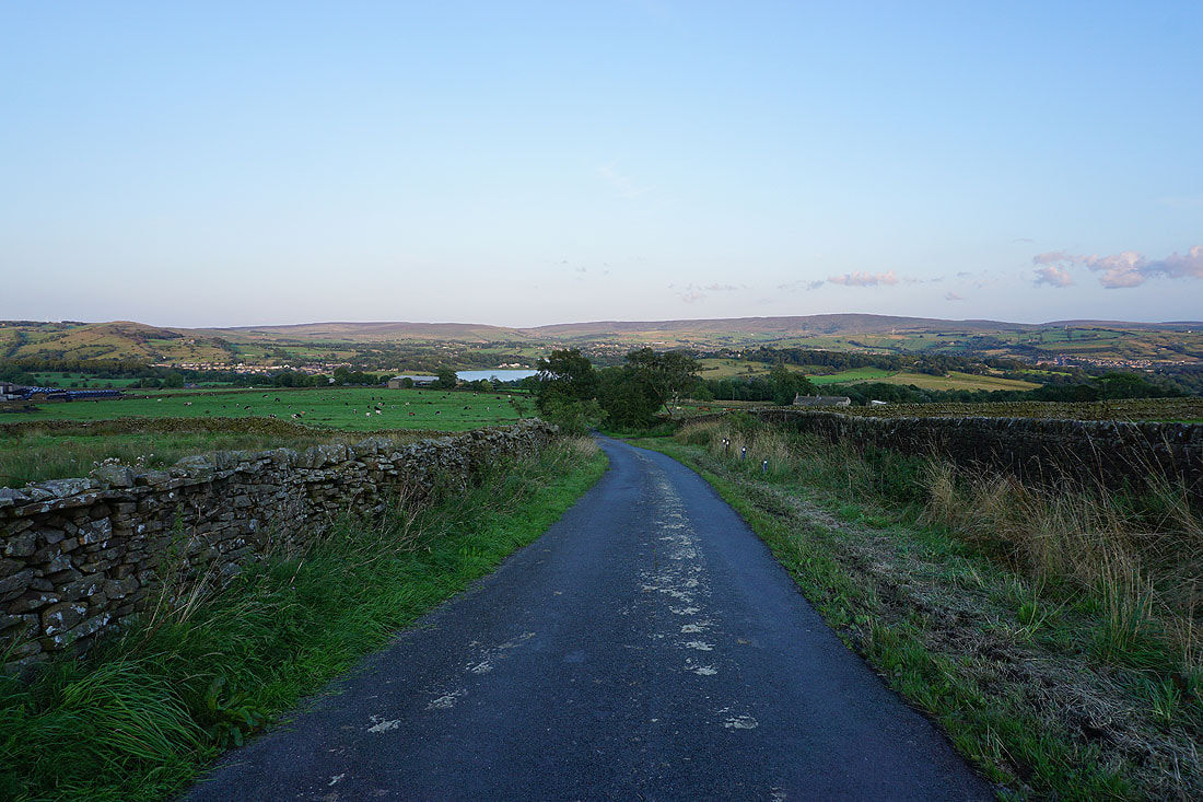
Heading down Gisburn Old Road
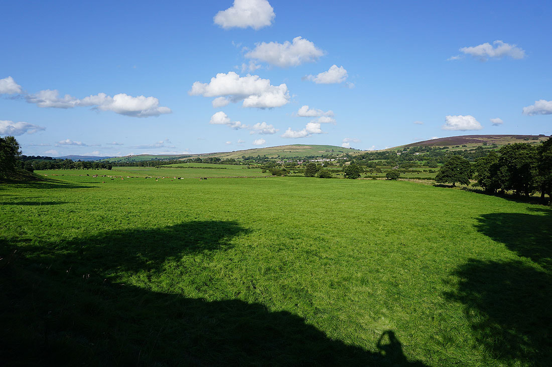
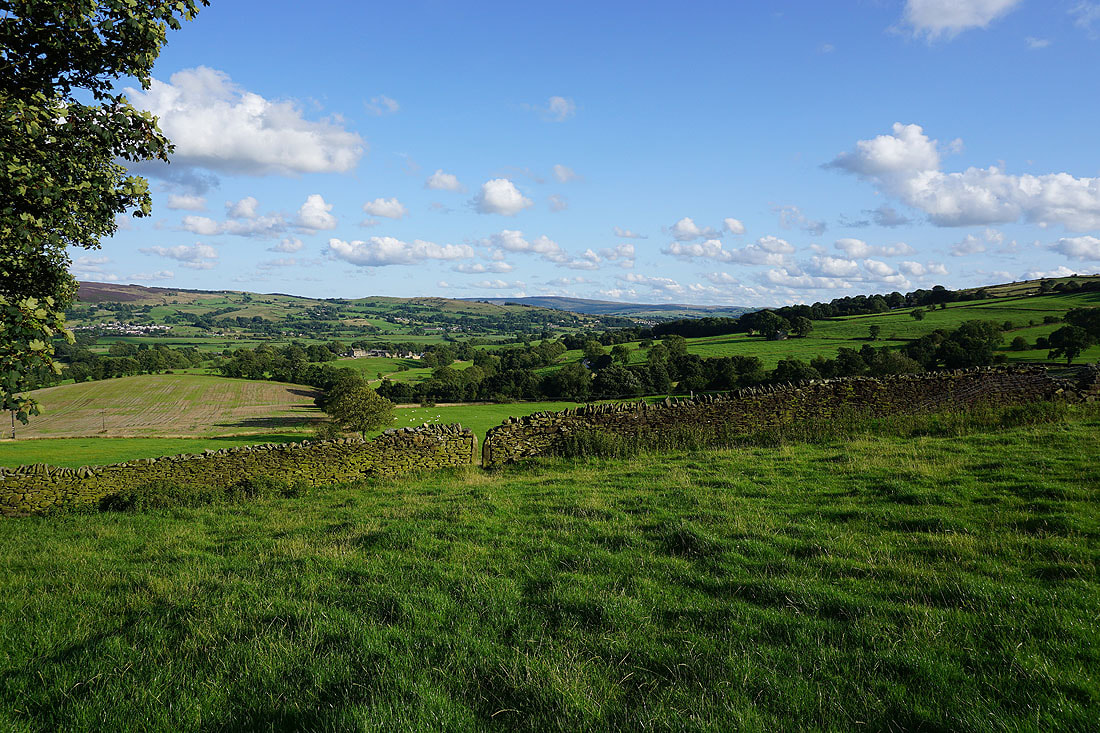
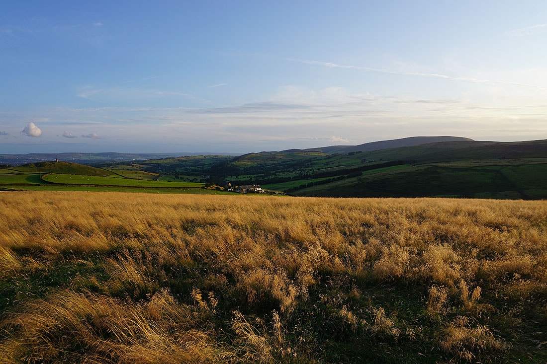
I had to stop and take a photo of this field full of long grass
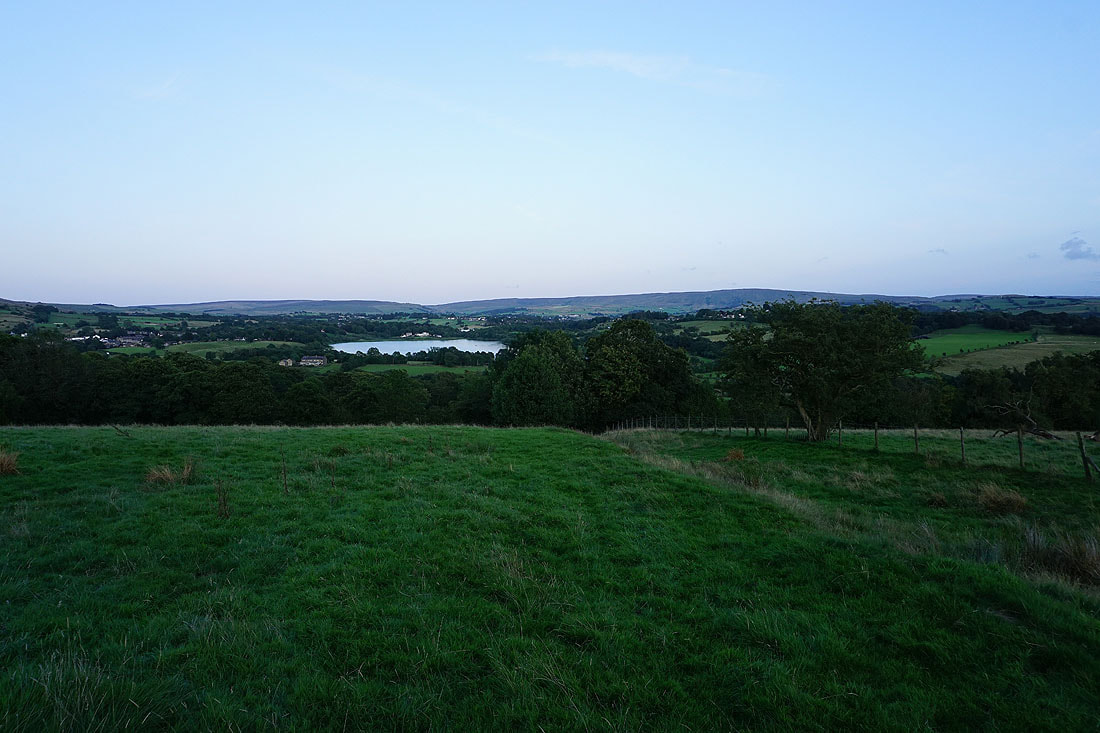
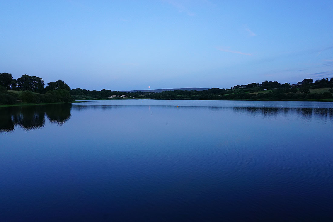
Foulridge Lower Reservoir now in sight and with the sun setting I'd better get a move on..
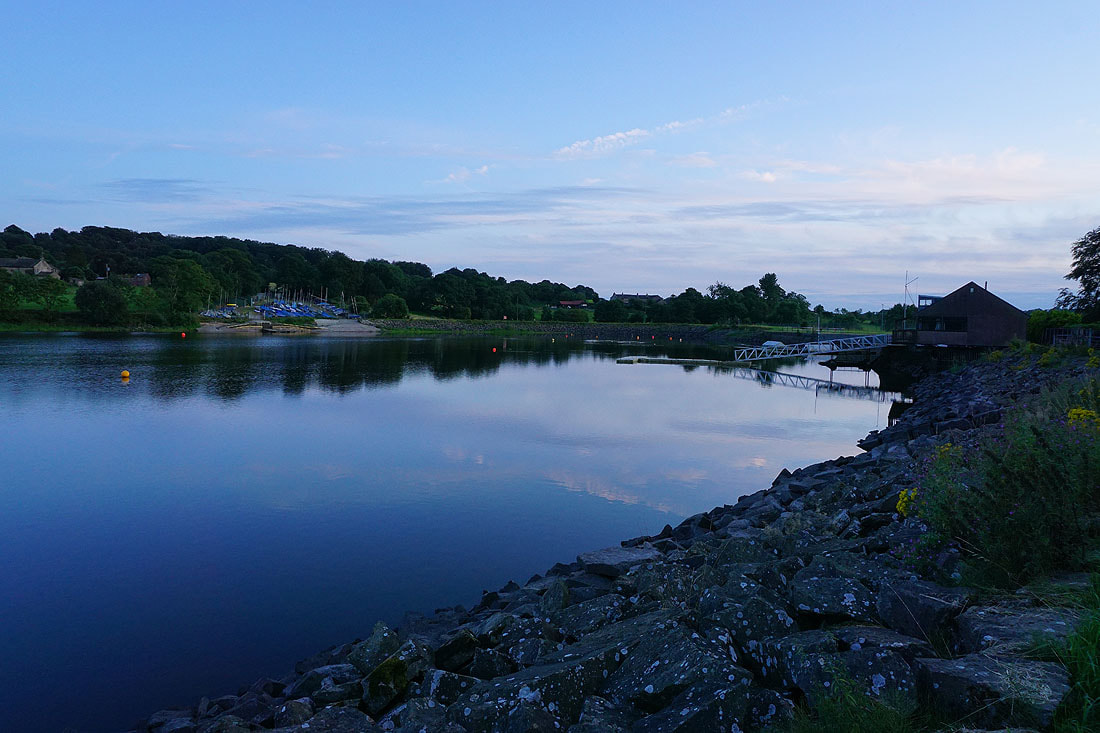
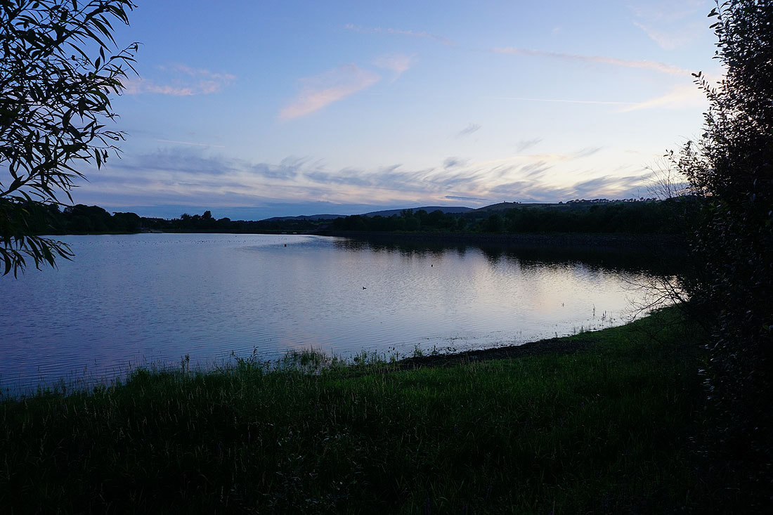
Last of the evening light by Foulridge Lower Reservoir...
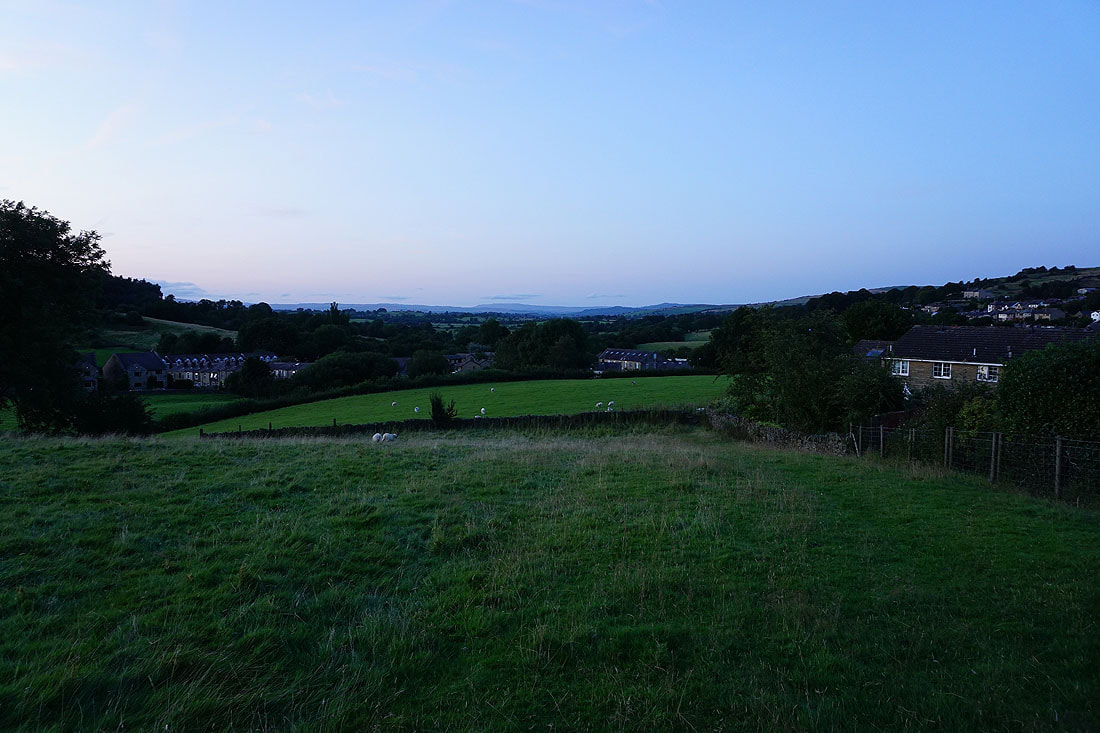
A last shot of a distant Great Whernside as I head home
