13th August 2022 - Coverdale to Colsterdale and back
Walk Details
Distance walked: 16.8 miles
Total ascent: 2596 ft
OS map used: OL30 - Yorkshire Dales, Northern & Central areas and 302 - Northallerton & Thirsk
Time taken: 9 hrs
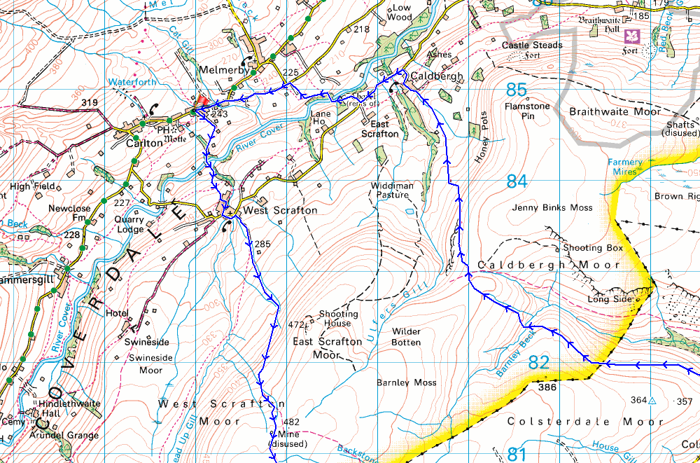
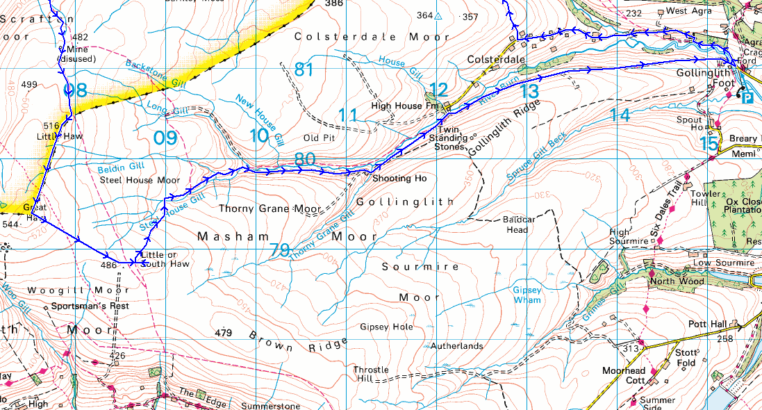
Route description: Carlton in Coverdale-River Cover-West Scrafton-West Scrafton Moor-Little Haw-Great Haw-South Haw-Steel House Gill-Colsterdale-Coal Road-Gollinglith Foot-Colsterdale-Colsterdale Moor-Red Way-Caldbergh-High Lane-St. Simon's Bridge-Carlton in Coverdale
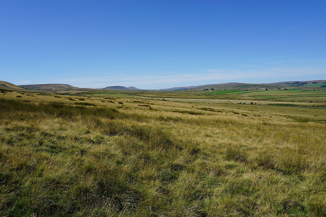
Nothing ventured, nothing gained. What did I gain? The knowledge that the route that I tried to follow isn't possible, that I probably shouldn't have tried it on such a hot day, and that I should have worked out how long it would be before attempting it. For the past couple of months I'd been trying to work out a route that would take in Colsterdale, a little known side valley of Wensleydale which joins the River Ure just south of Masham, that didn't involve a lengthy drive across the moors to get there. So, I thought that I'd walk into the dale from one of its neighbours, in this case Coverdale, which is easier for me to get to. The route that I came up with should have used the bridleway across Steel House Moor to South Haw, and the one that runs across the moor above Birk Gill to Caldbergh Moor from the road from Gollinglith Foot to Colsterdale. They may exist on the map but they don't on the ground. The absence of the second one caused me the most problems as it resulted in me having to backtrack once I realised it wasn't there and that I'd have to find an alternative, which fortunately existed in the form of the route across the northern slopes of Colsterdale Moor. That added a few miles to the length of the walk (which isn't included in the details above). Despite those issues the visit to Colsterdale was worth the effort, especially at this time of year with the heather covered moors putting on a fine display. I'll definitely go back, but I'll actually visit the dale itself. Another hot and sunny day, just like yesterday, though with a breeze up on the moors and the humidity being relatively low it didn't become uncomfortable.
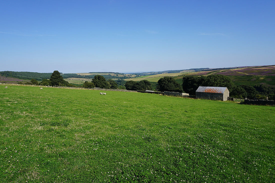
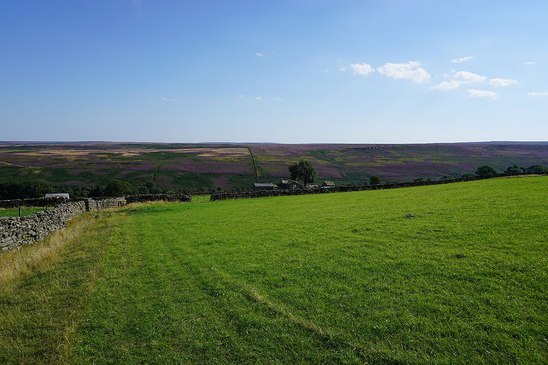
After parking in the car park for the village hall in Carlton in Coverdale I walked east along the road out of the village until I reached a track on the right, and a footpath for West Scrafton via Quaker Lane. I took this and followed it to the end of Quaker Lane and then down through fields to a footbridge over the River Cover, which I crossed, and then up through fields to West Scrafton. After making my way through West Scrafton to Bow Bridge I took the bridleway up the track onto West Scrafton Moor, then from the end of the track I followed the fence south across the moors to Little Haw and then Great Haw, from where I followed the fence southeast to South Haw, where I stopped for lunch. After this much needed break I made my way down from South Haw to pick up the bridleway just to its west, which I followed north down into Steel House Gill. This bridleway soon joined a track and I walked down this into Colsterdale, crossing the River Burn at a ford to reach a shooting hut where I stopped for a break, then on down the dale to the track of Coal Road, which I followed all the way down to the road at Gollinglith Foot. I then walked up the road from Gollinglith Foot into Colsterdale, passing Low House Farm, until I reached a gate on the right next to a barn that had a sign for the route back to Coverdale. Once through the gate I walked up through a few fields and onto the access land of Colsterdale Moor. A fairly clear path then took me west through the heather covered northern slopes of Colsterdale Moor towards the ford of Slip Wath on Barnley Beck. Unfortunately I lost it on the approach to the ford, which meant some unpleasant negotiation of bracken and heather to reach it. Once across, a clear path and then track took me up onto Caldbergh Moor where I joined the track of Red Way for a descent to the hamlet of Caldbergh in Coverdale. After making my way through the hamlet to High Lane I walked west along the road until I reached a public footpath on the right, which I took down to St. Simon's Bridge and across the River Cover. I then followed the footpath up through the woodland and along a field edge next to it before making my way up a footpath through fields and past a barn to reach the road to Carlton. A walk west along this road took me back to Carlton in Coverdale.
Route map
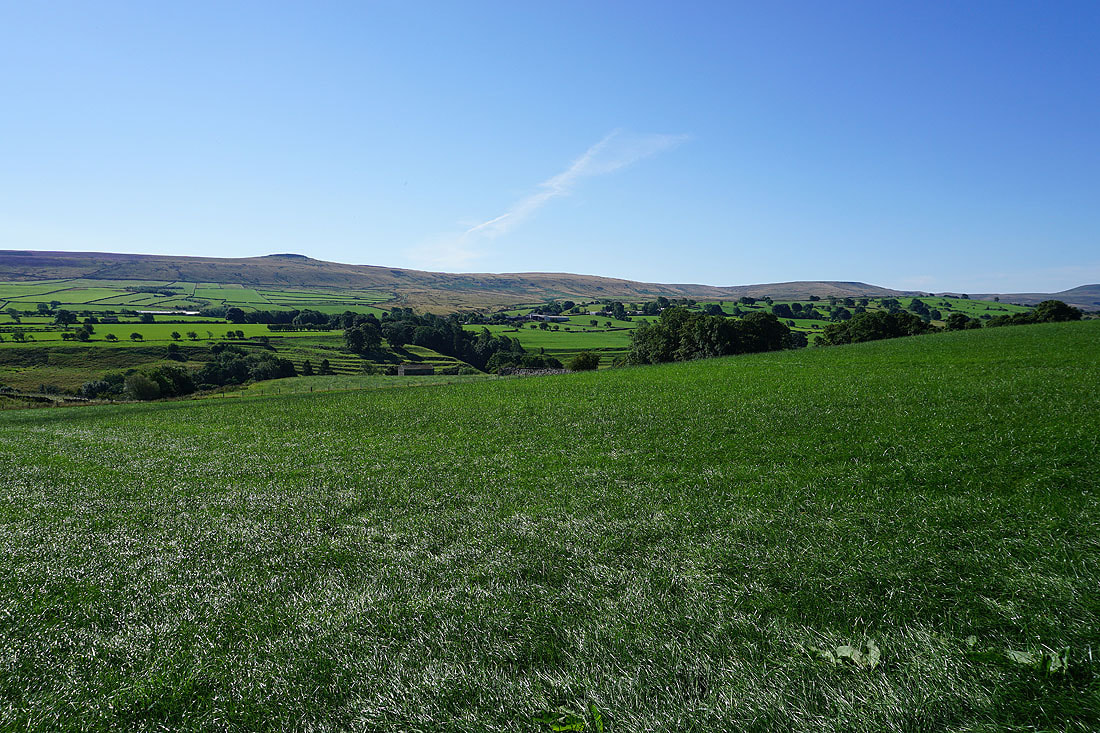
Looking across Coverdale to Great Roova Crags and West Scrafton Moor as I leave Carlton on the path down to the River Cover
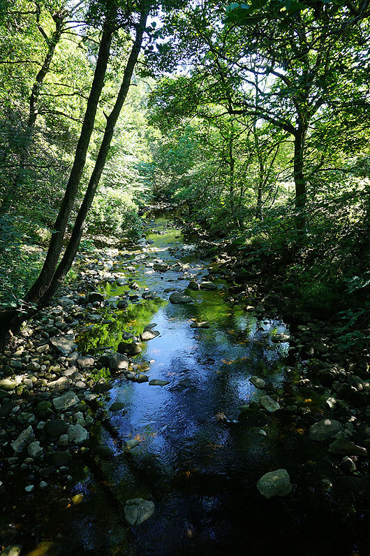
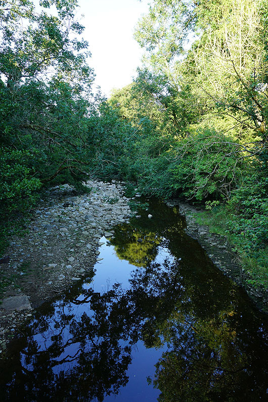
Crossing the River Cover
Looking back to Carlton and Melmerby Moor as I head up to West Scrafton
In the hamlet of West Scrafton
West Scrafton as I leave it behind..
..by the bridleway up onto West Scrafton Moor
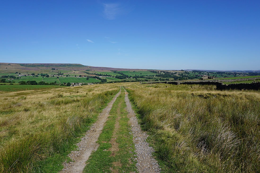
Looking back across Coverdale to Carlton and Melmerby Moor
Arkleside Moor, Little Whernside, North Moor, and Braidley Moor around the head of Coverdale
and looking across Coverdale to Braidley Moor, Fleensop Moor, and Carlton Moor
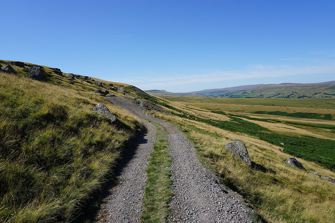
Higher up and the track passes through the disused tips from the colliery that was up on West Scrafton Moor
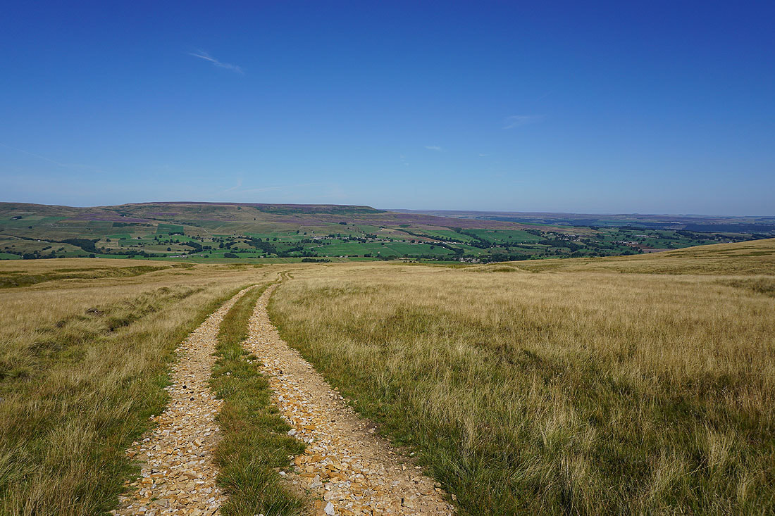
A last look back across Coverdale to Height of Hazely, Carlton and Melmerby Moor. It will be a while before I see them again.
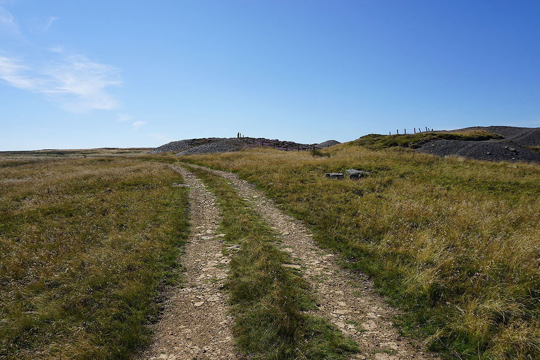
Passing the disused West Scrafton Colliery
Looking across East Scrafton Moor to Great Roova Crags
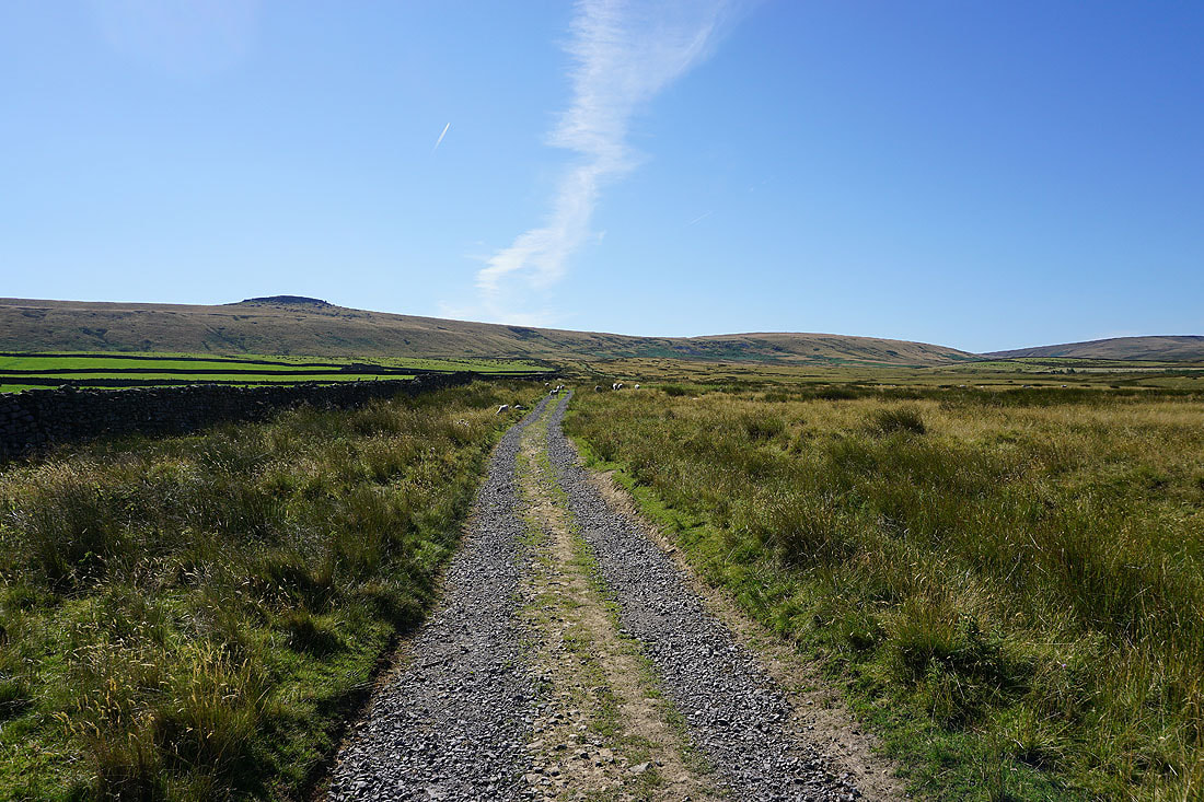
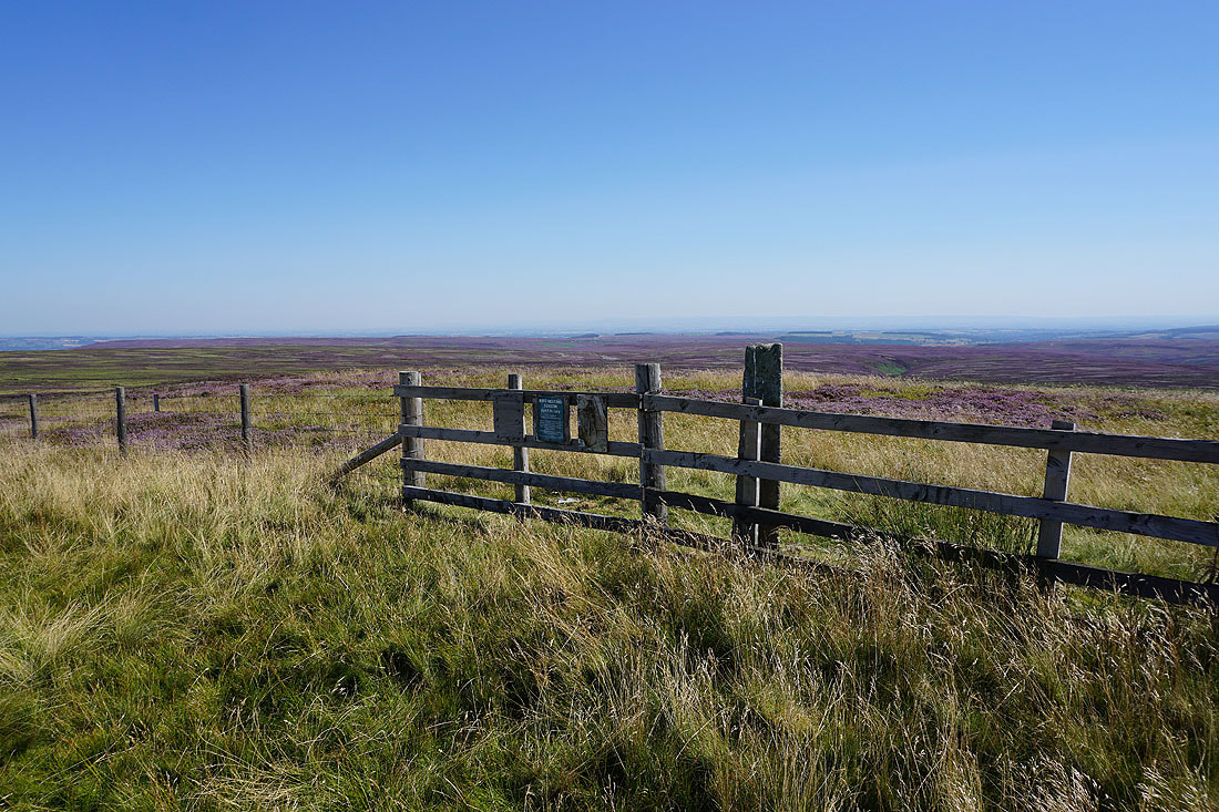
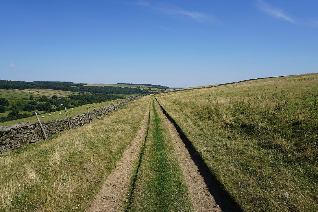
On the top of West Scrafton Moor. I've reached the end of the track, so I'm going to follow the fence south to Little Haw, and then to Great Haw.
On Little Haw. Looking north across East Scrafton Moor.
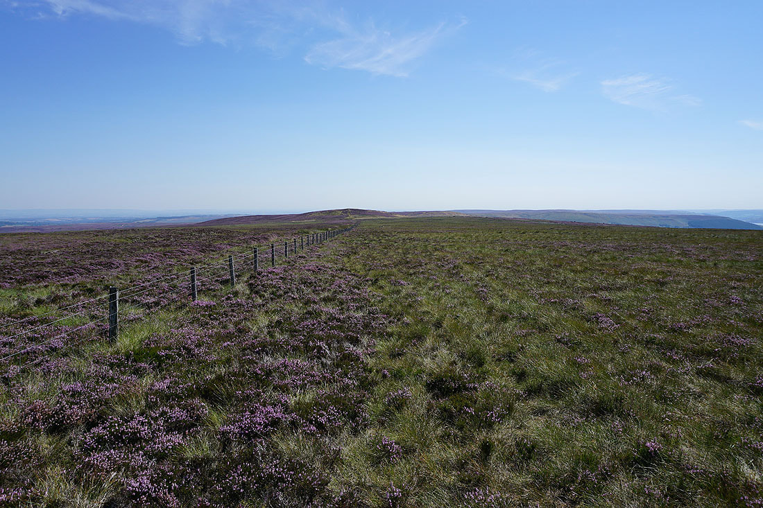
Great Haw rises to the south
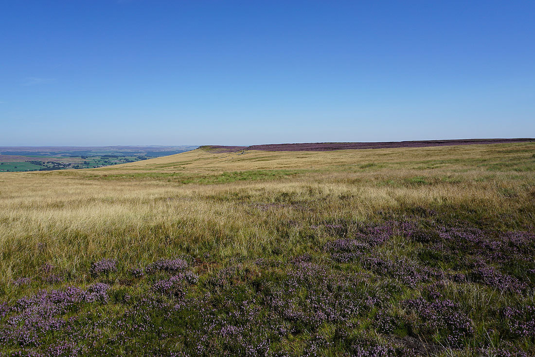
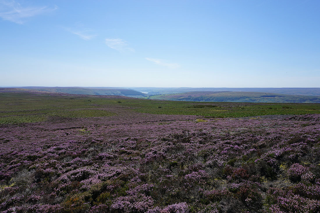
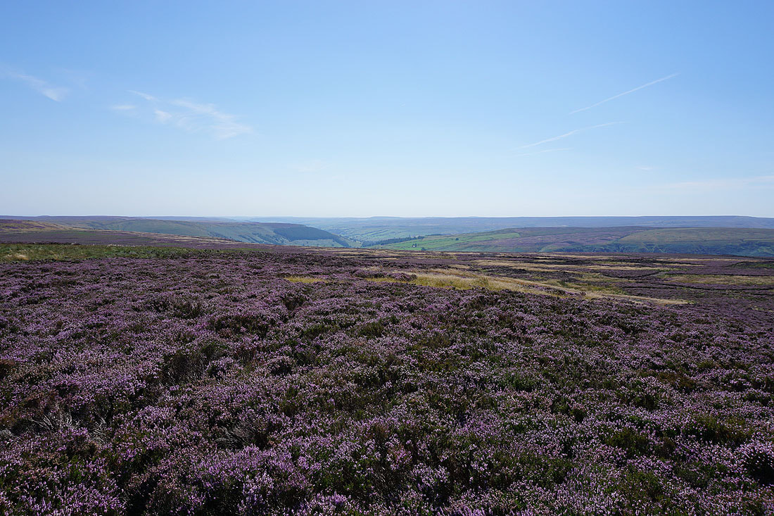
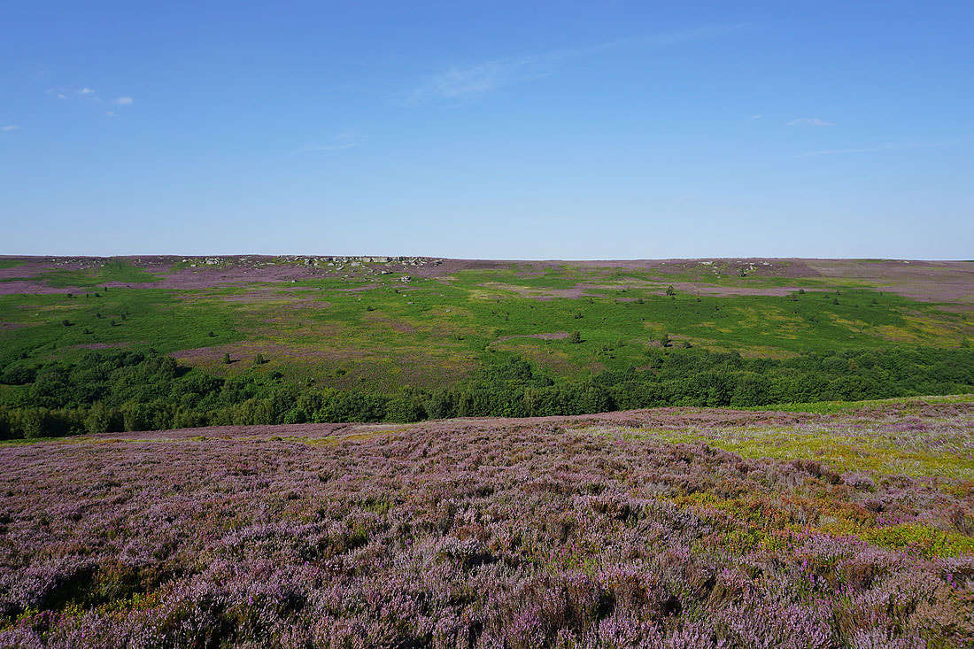
The heather covered moors above Colsterdale to the east
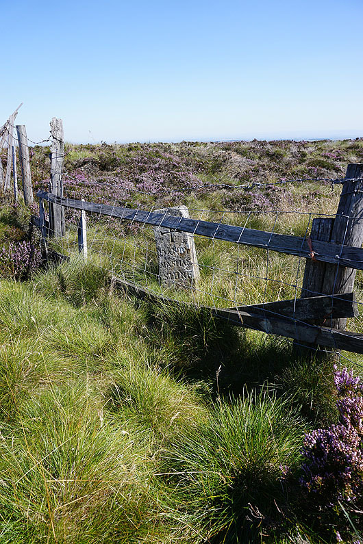
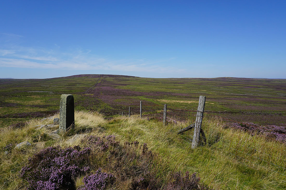
The boundary stone at the fence junction below the top of Great Haw. This side has Danby Masham Shire on it.
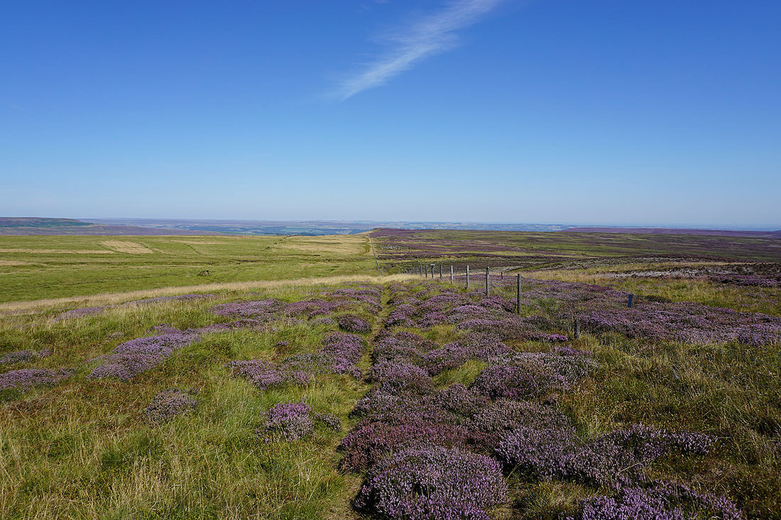
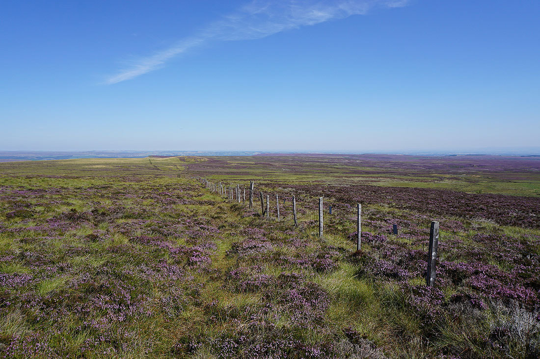
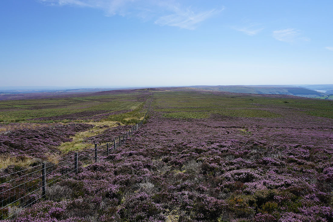
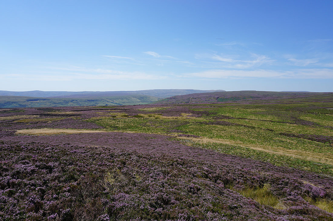
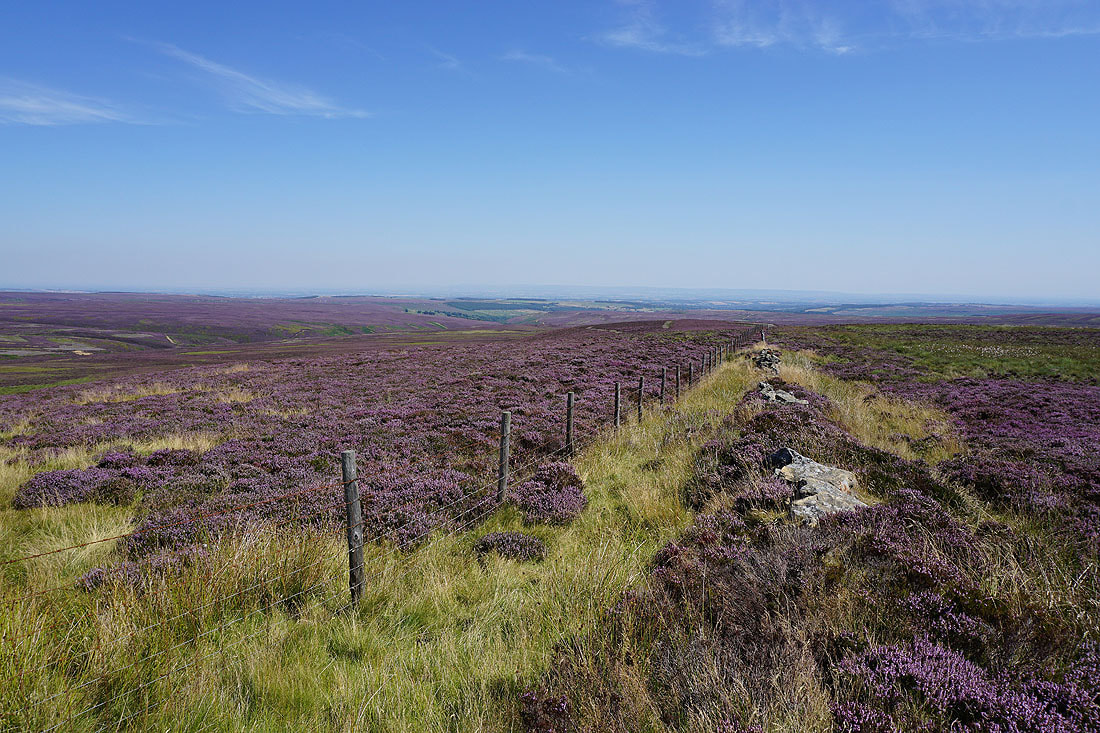
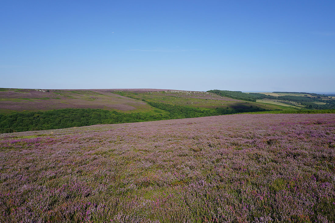
Looking back along the fence to Little Haw, and across the purple carpets of Caldbergh Moor and Colsterdale Moor.
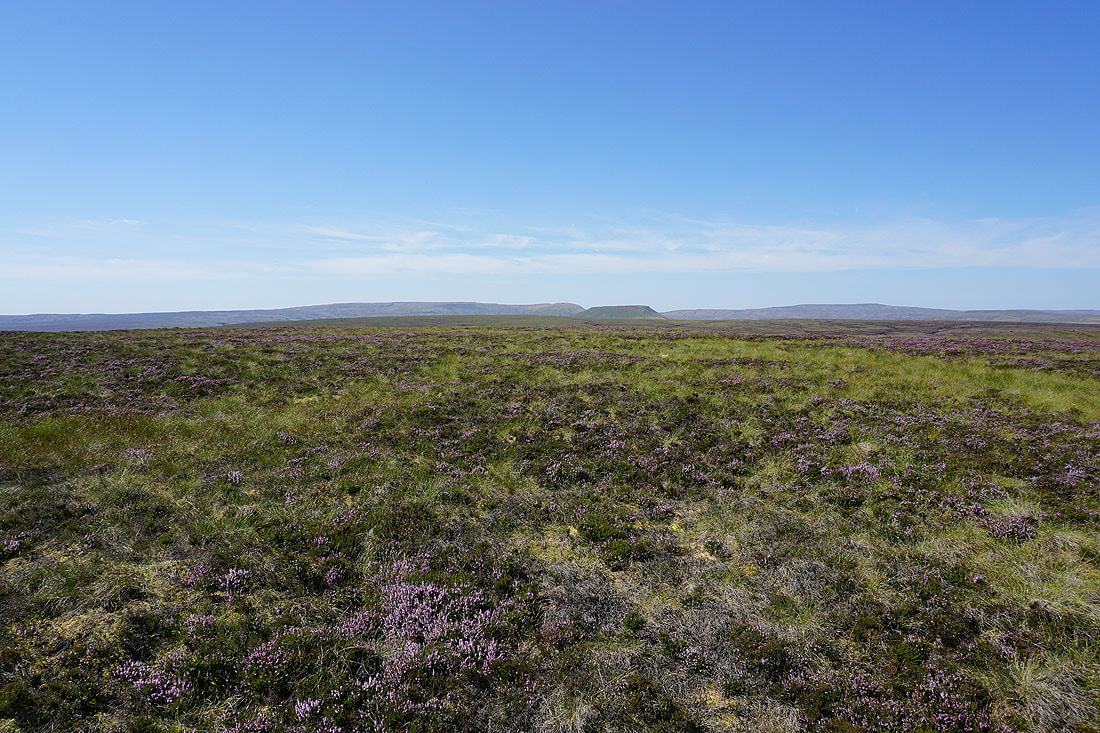
The view from the featureless top of Great Haw. To the southwest and west, Great Whernside, Little Whernside and Buckden Pike.
Looking across Coverdale to Fleensop Moor, Harland Hill, and Height of Hazely
Leaving Great Haw to follow the fence to South Haw..
..and I have a view down Nidderdale to my right
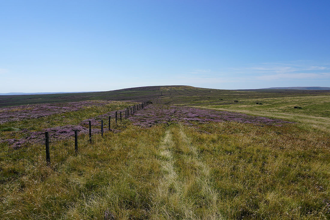
Crossing the moor between Great Haw and South Haw, and even here the ground is firm underfoot
On the top of South Haw, and it's time for lunch. Looking back to Great Haw and Little Haw.
Nidderdale to the south
Looking towards Great Whernside and the other fells around the head of Nidderdale
Looking east across Masham Moor to Colsterdale, with Lower Wensleydale and the outline of the North York Moors in the distance
The boundary stone on the top of South Haw has "T.York. Netherdale Forest." inscribed on this side and "Danby Mashamshire" on the other
After my break I've made my way down from South Haw and onto the bridleway that crosses the moor to its west from Nidderdale to Colsterdale. Following it north down into Steel House Gill.
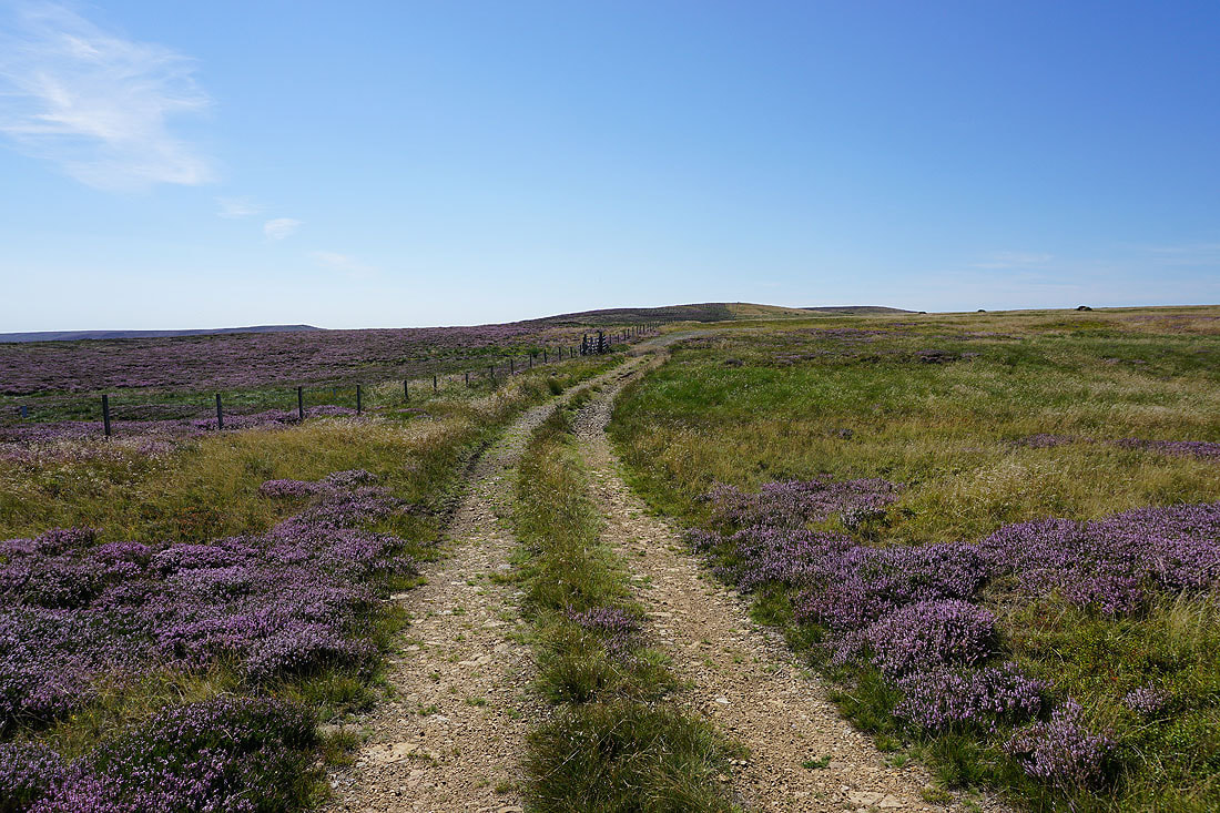
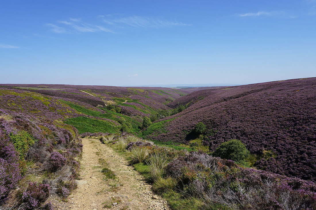
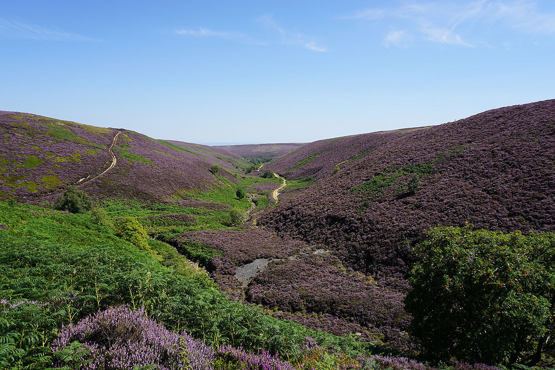
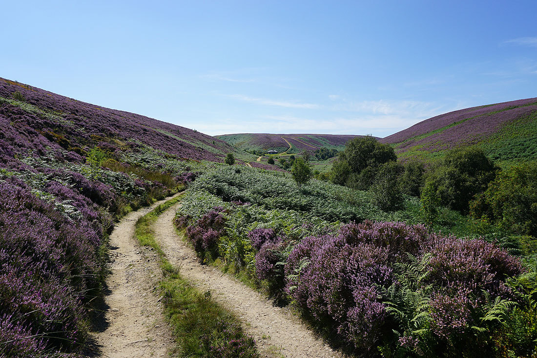
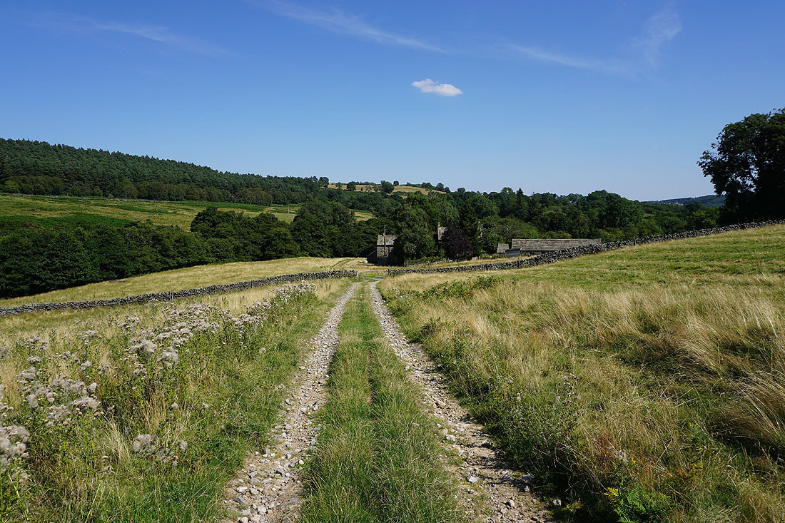
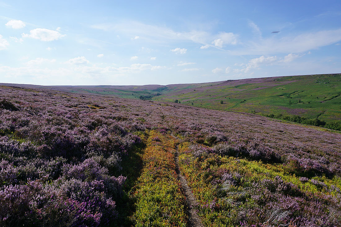
A clear track descends into Colsterdale to where Steel House Gill and Long Gill meet and the River Burn begins. I have no complaints about the display that the heather is putting on...
Looking back along the track to Steel House Moor
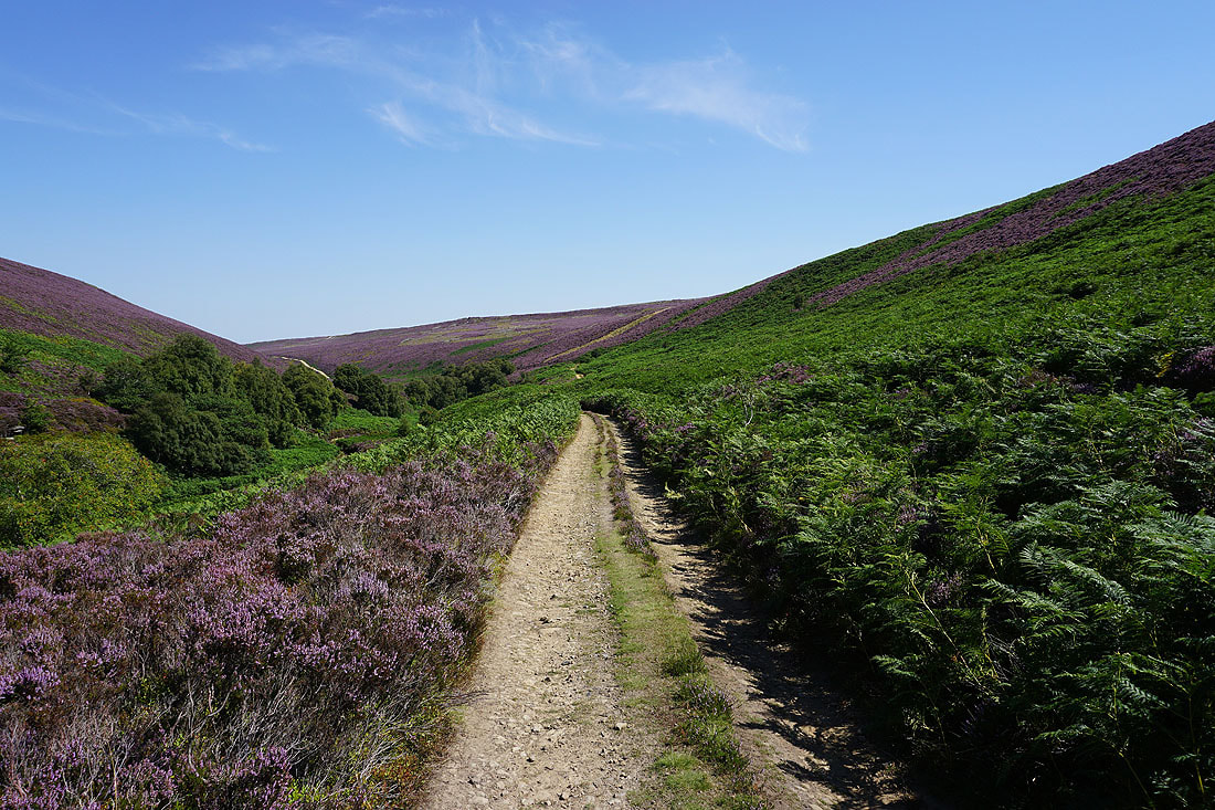
Following the track east above the River Burn. On my map the line of the bridleway is on the other side of the river but I could see no evidence that it exists.
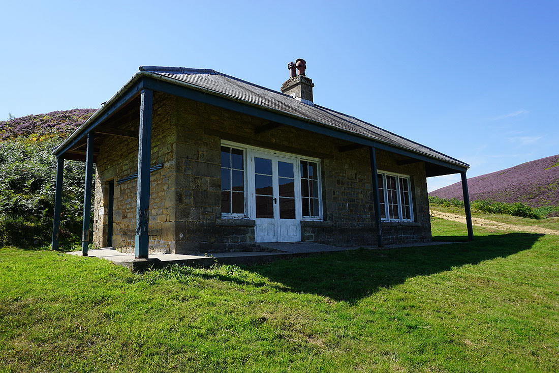
Arrival at this shooting house and I can't resist taking advantage of the shade to take another break. It's a hot afternoon!
Looking back to the shooting house below Thorny Grane Moor
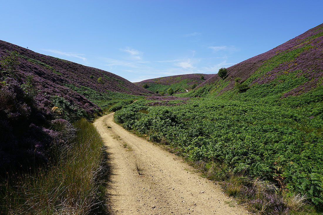
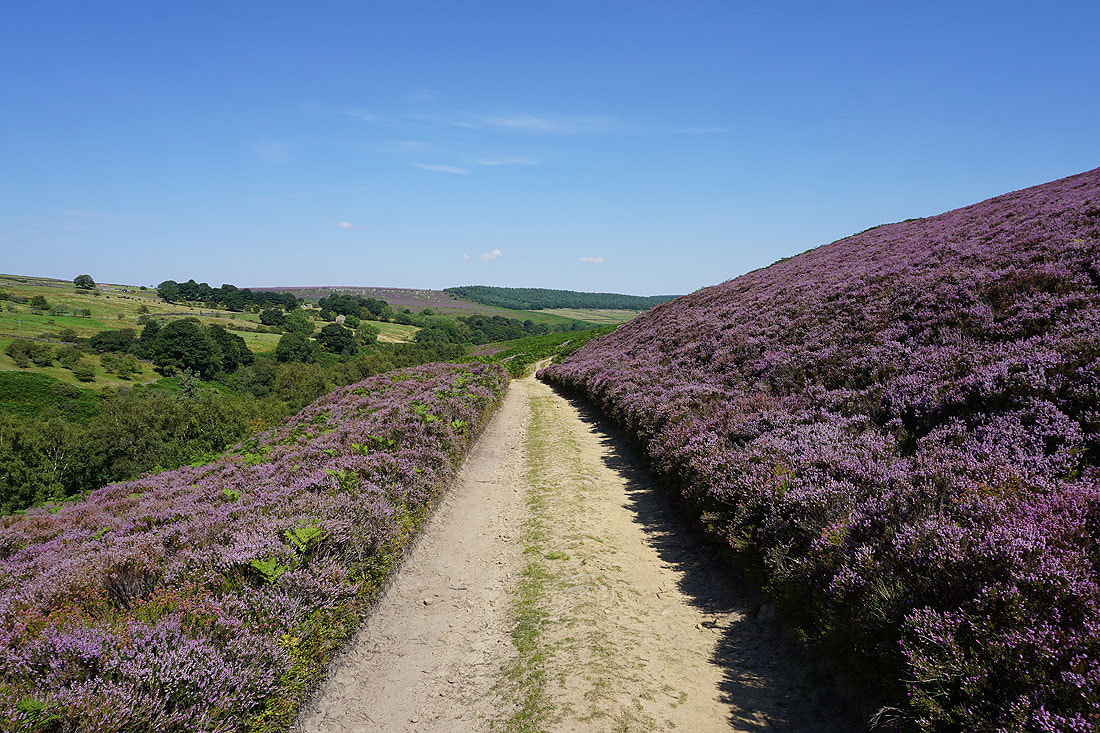
I follow the track of Coal Road east above the River Burn
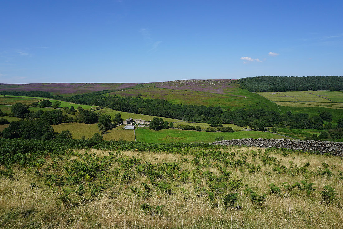
The scattered hamlet of Colsterdale on the side of Colsterdale Moor
Looking back along the Coal Road and up onto Colsterdale Moor
and across Colsterdale to Slipstone Crags above Birk Gill Wood, and Low House Farm on the hillside across the River Burn. I'll be walking past it later.
Walking east along the Coal Road to its end at Gollinglith Foot..
Across the ford over the River Burn at Gollinglith Foot. There is a footbridge if needed.
From Gollinglith Foot I walk along the road up Colsterdale
Looking back along the road down Colsterdale. I walked up past Low House Farm about five minutes ago.
Looking down Colsterdale as I head up onto Colsterdale Moor
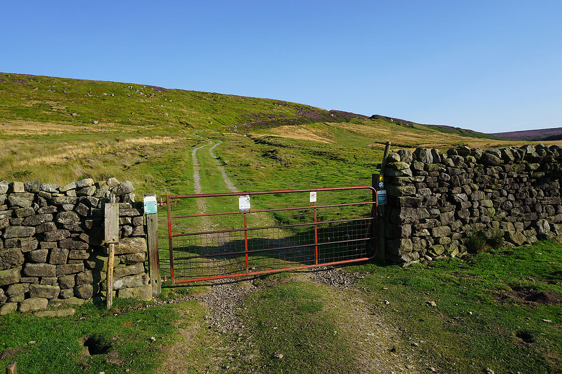
and across Colsterdale to Gollinglith Ridge. I left the road below by going through a gate that had the sign "No through route for motor vehicle users to Coverdale" on it.
Brown Beck Crags, Agra Moor and Slipstone Crags on the other side of Birk Gill
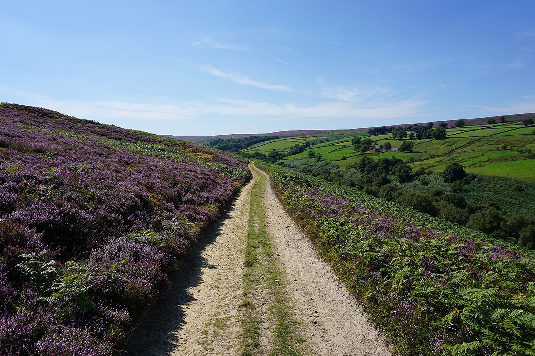
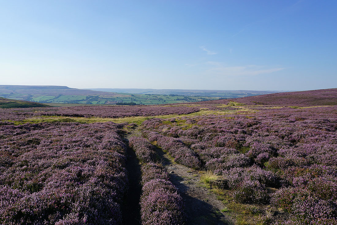
Following the route west across the northern slopes of Colsterdale Moor. At the moment I'm having no trouble keeping to it.
Lobley Crags and Brown Beck Crags on the other side of Birk Gill
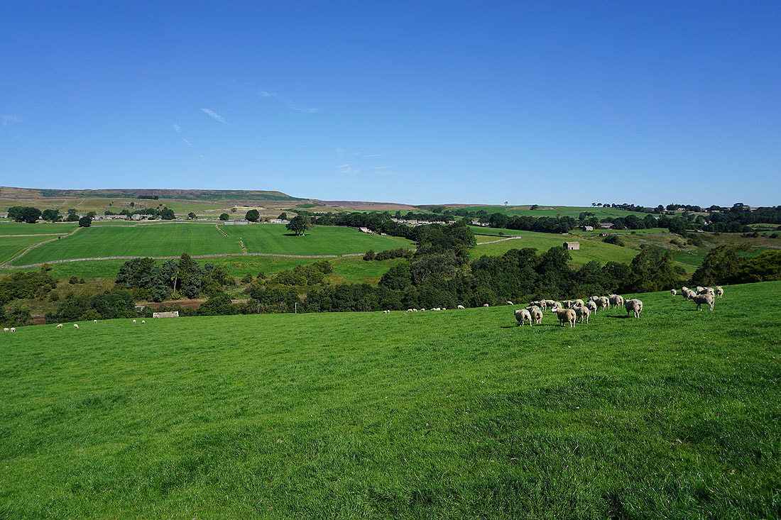
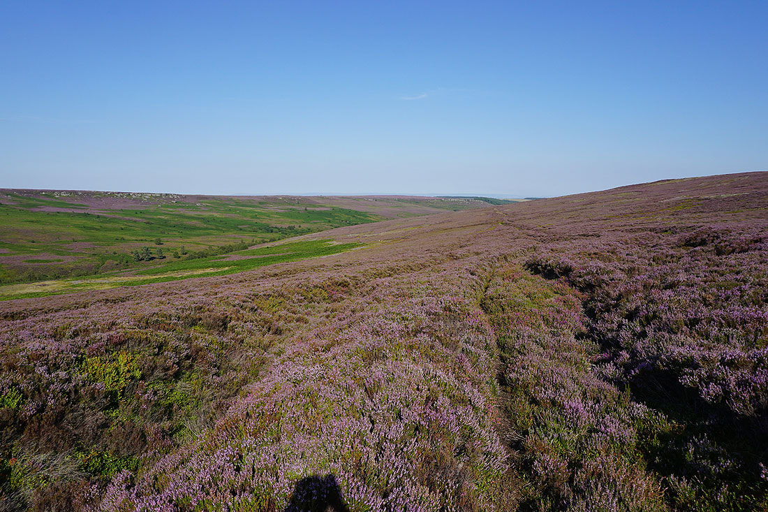
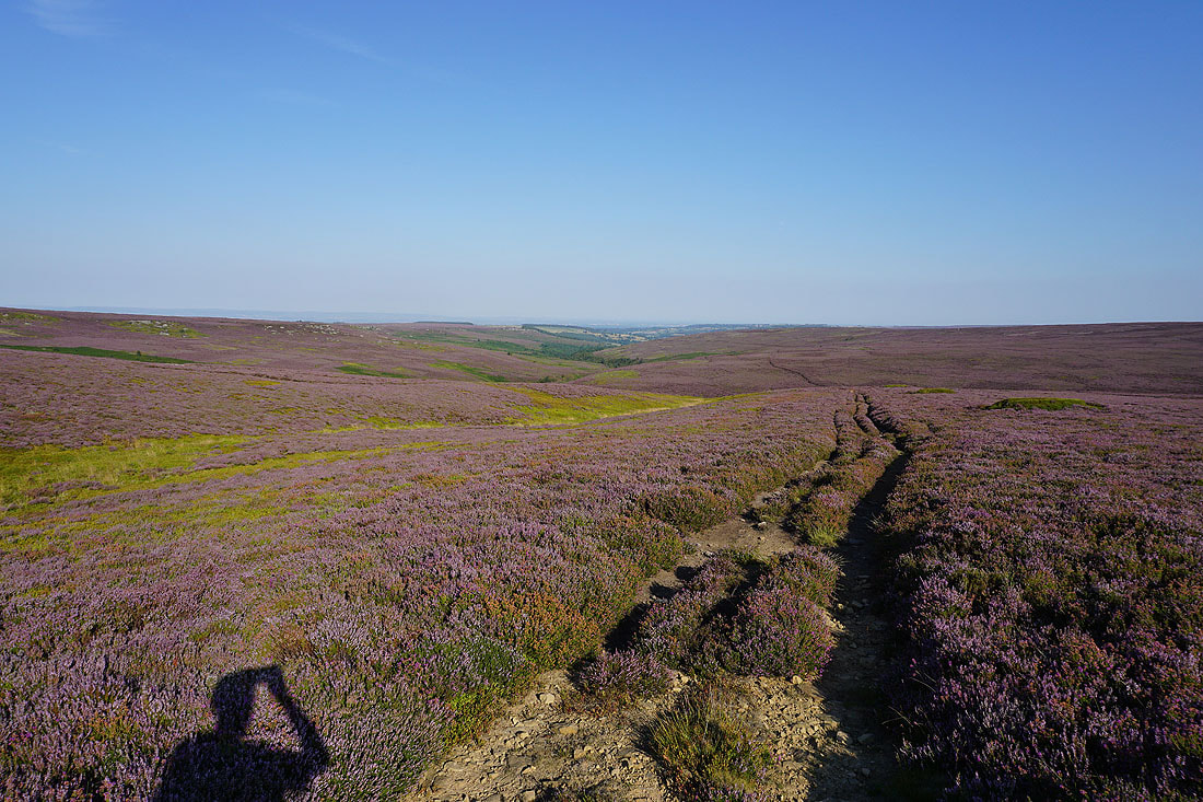
Looking back east across the northern slopes of Colsterdale Moor. The heather looks great in the late afternoon sunshine.
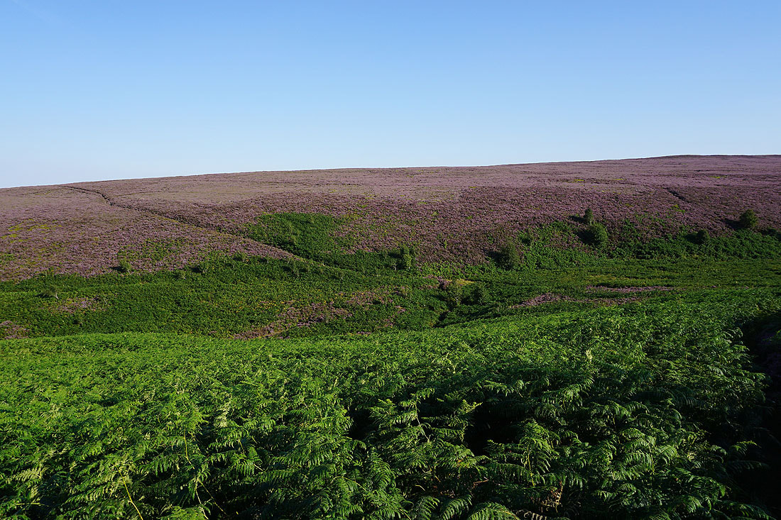
The ford of Slip Wath across Barnley Beck is just below. Unfortunately I lost the path, which can be seen coming in from the left, so I had a very unpleasant time negotiating my way down through the bracken and heather to reach it. The route was much clearer once I'd crossed it.
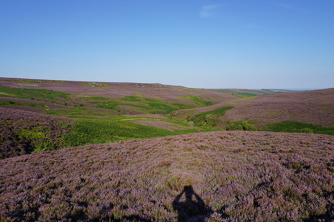
Looking across the valley of Barnley Beck to Hanging Stones on the side of Caldbergh Moor
A last look down the valley of Birk Gill to Colsterdale
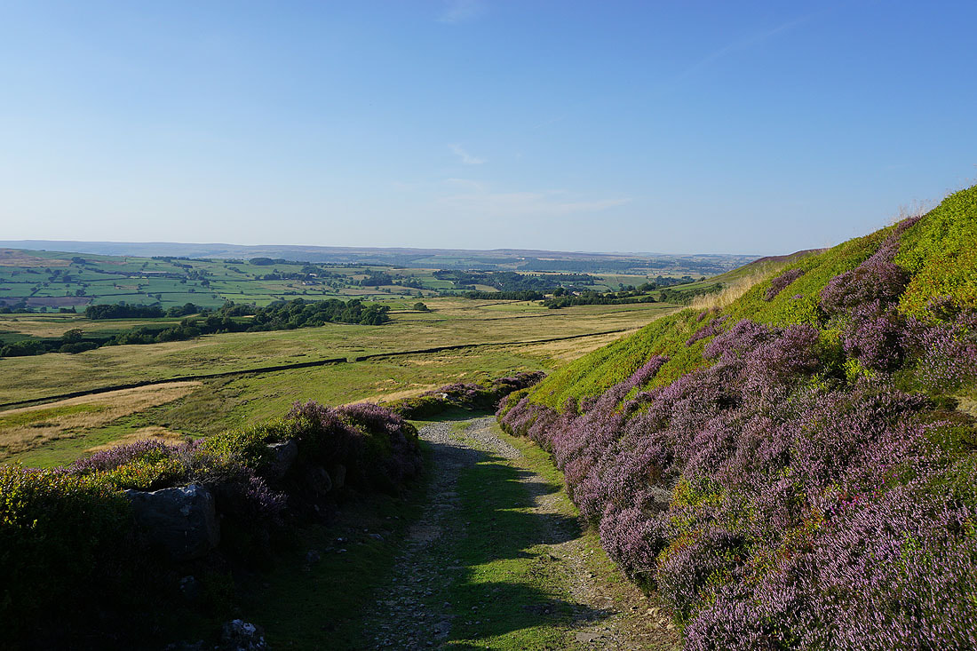
Finally the moors around Coverdale appear as I take the track of the Red Way down to Caldbergh..
Gates painted red are a common sight around here
Following the track down to the hamlet of Caldbergh..
From Caldbergh I walk west along the road towards East Scrafton
On the footpath down to the River Cover..
..which I cross via St. Simon's Bridge
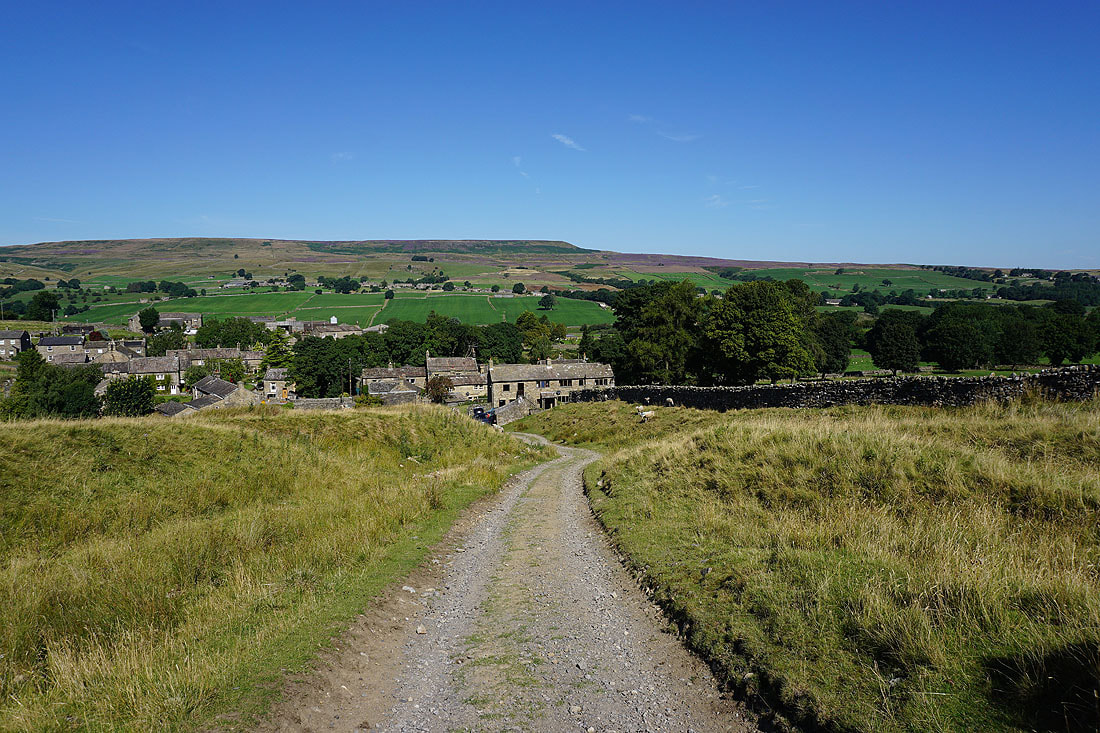
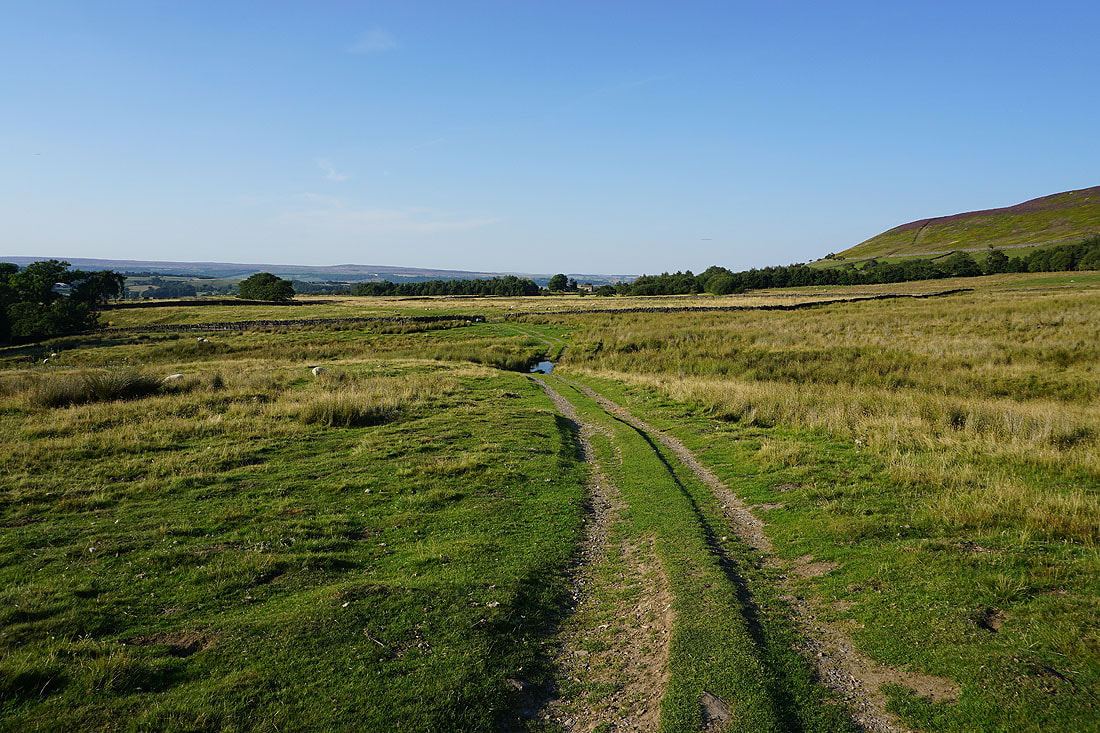
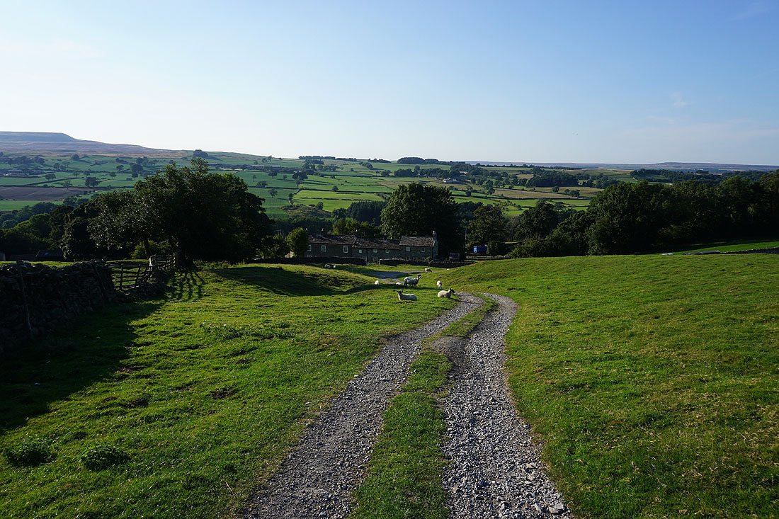
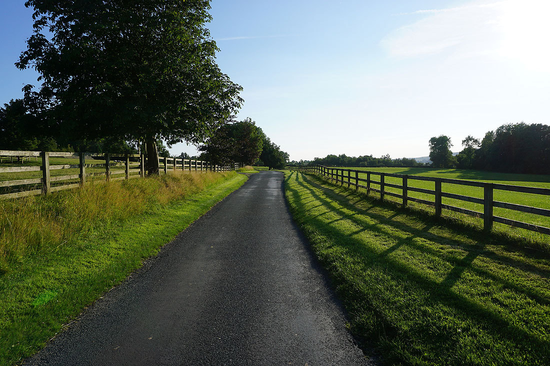
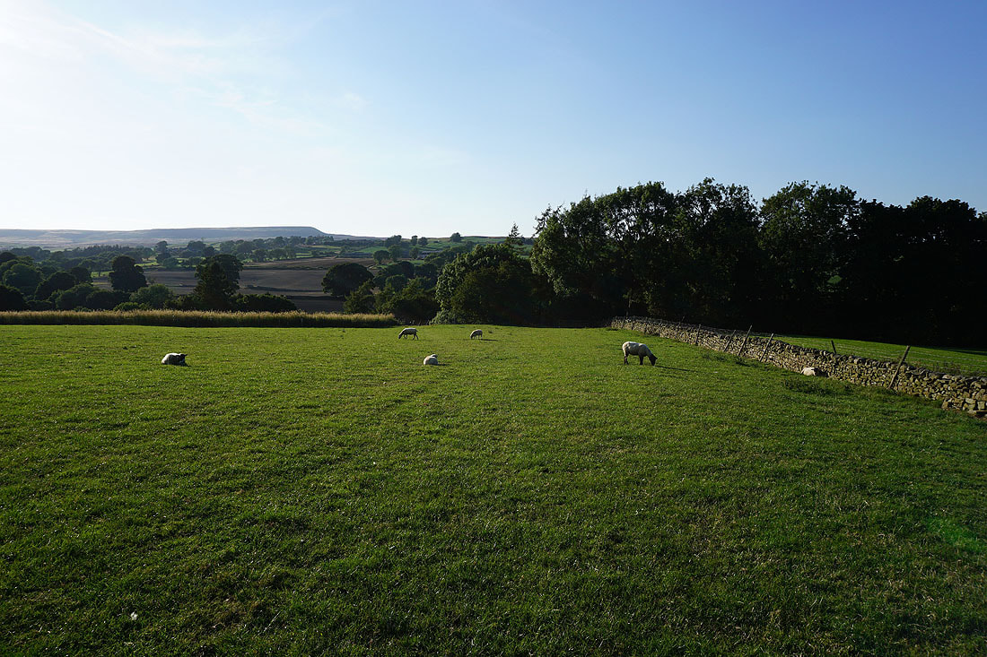
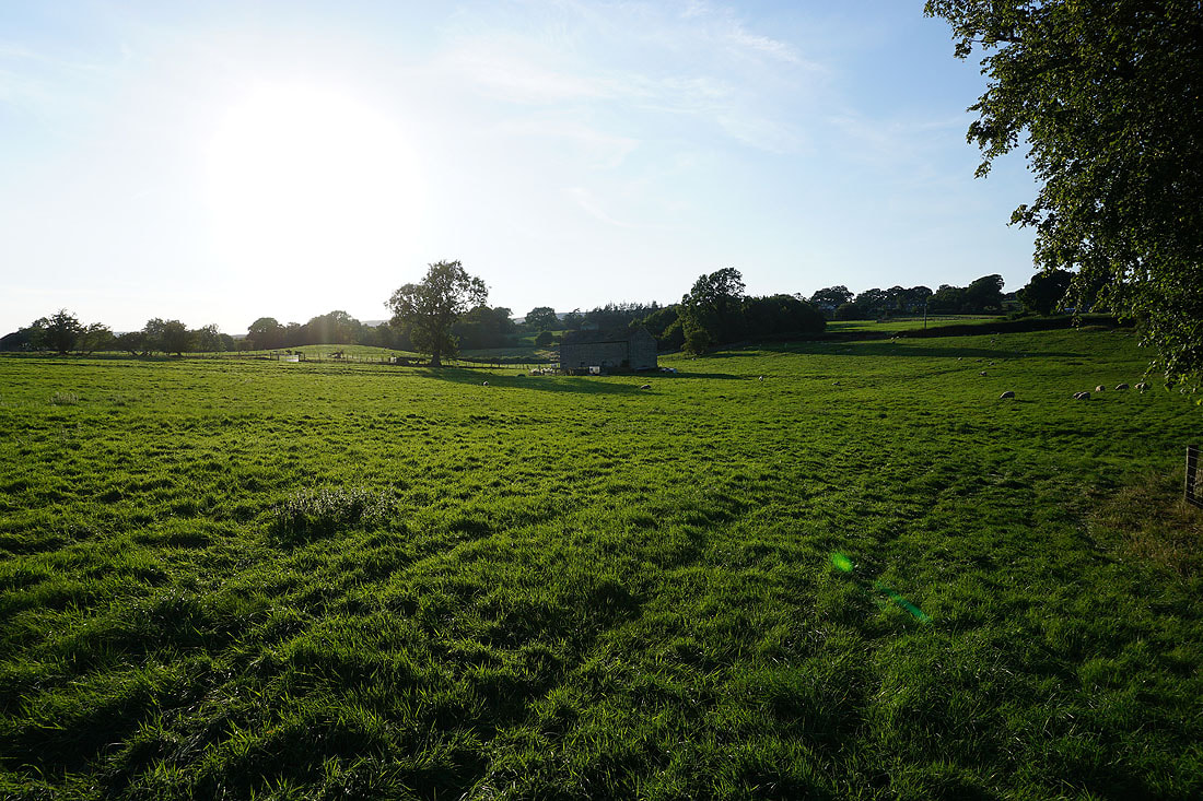
A walk up through fields in the early evening sunshine will take me back to Carlton
