13th December 2009 - A Fairfield Horseshoe
Walk Details
Distance walked: 10.4 miles
Total ascent: 3452 ft
OS map used: OL7 - The English Lakes, South-eastern area & OL5 - The English Lakes, North-eastern area
Time taken: 6 hrs
Route description: Ambleside-Nook Lane-Low Sweden Bridge-Low Pike-High Pike-Dove Crag-Hart Crag-Fairfield-Great Rigg-Heron Pike-Nab Scar-Rydal Hall-Rydal Park-Ambleside
A walk around the Fairfield Horseshoe done in an anticlockwise direction. It was a bitterly cold day with the ground frozen solid which made for easy going but it was freezing in the strong breeze.
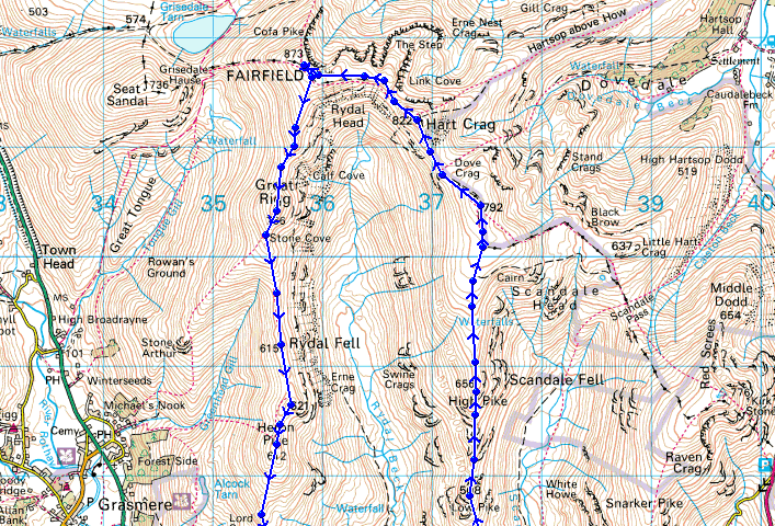
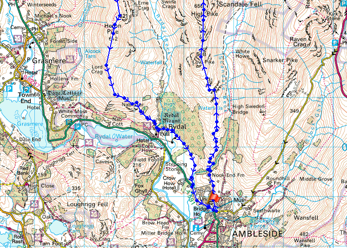
Route map
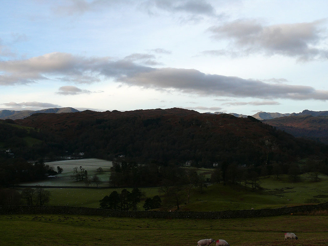
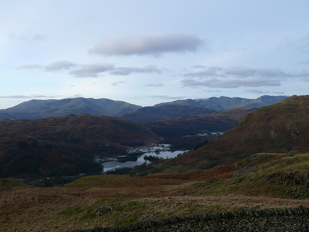
Loughrigg Fell as I start the climb up to Low Pike
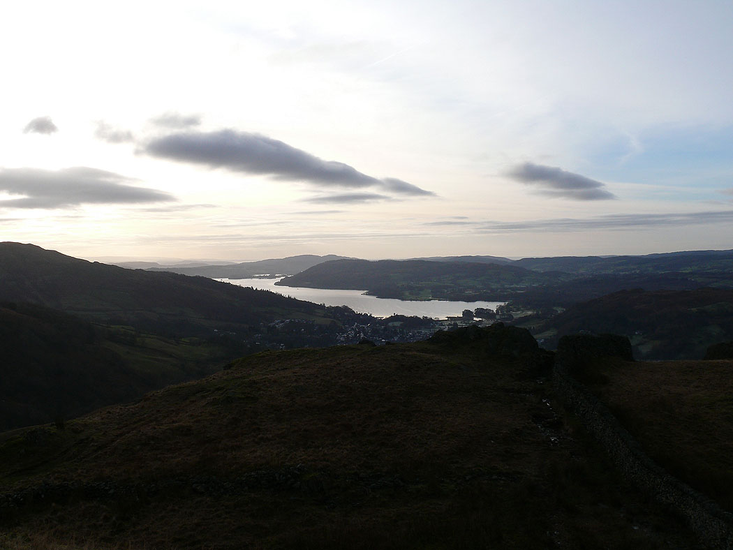
Windermere from Sweden Crag
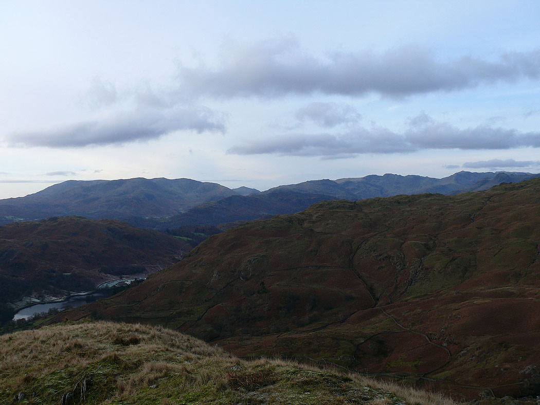
The Coniston fells, Crinkle Crags and Bowfell from Sweden Crag
and again, but now from Low Pike
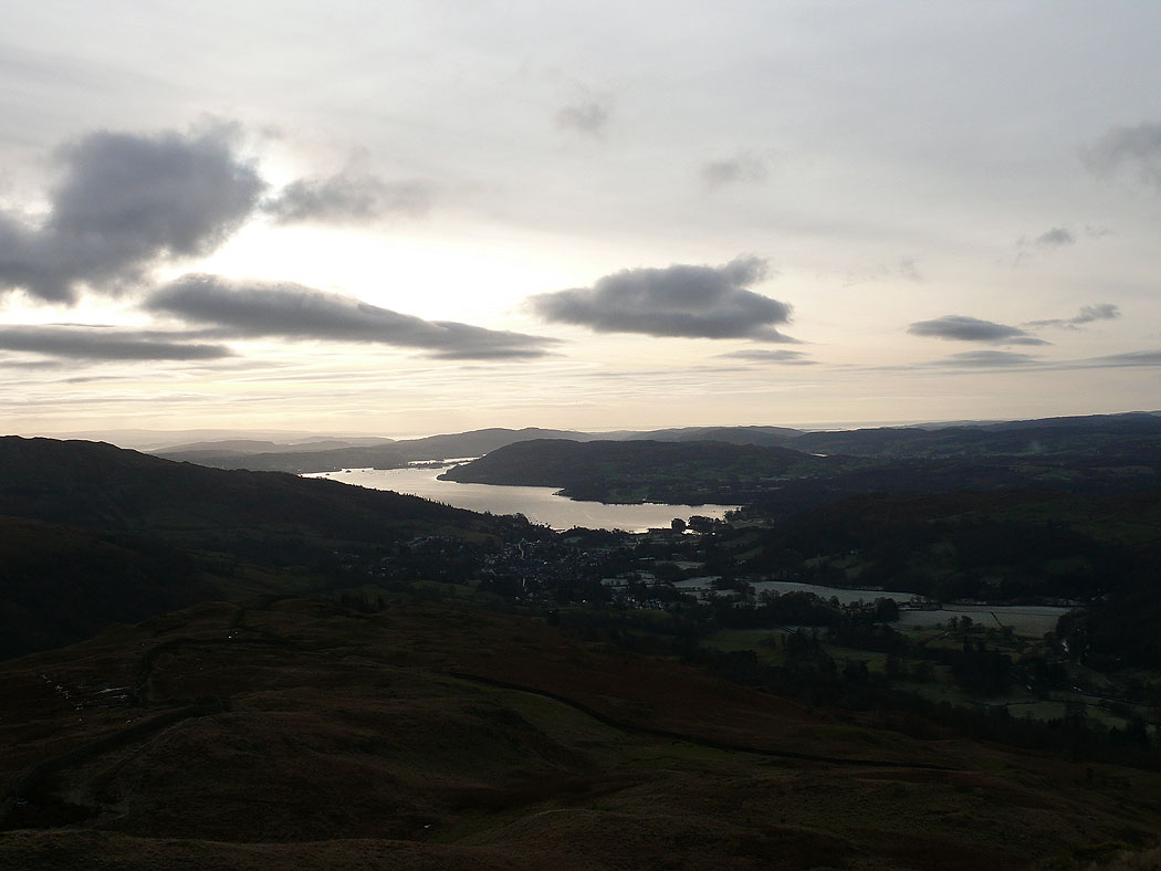
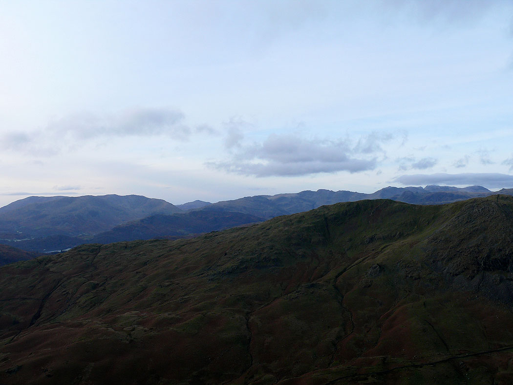
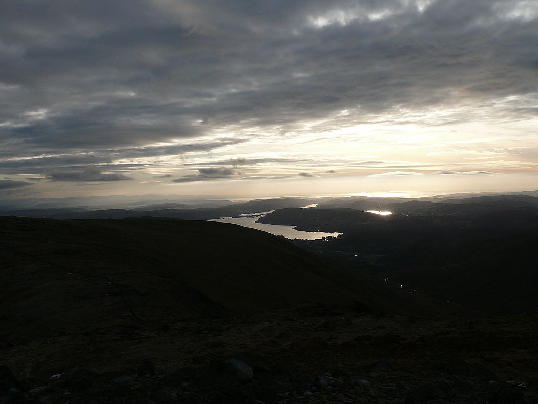
Windermere from Low Pike
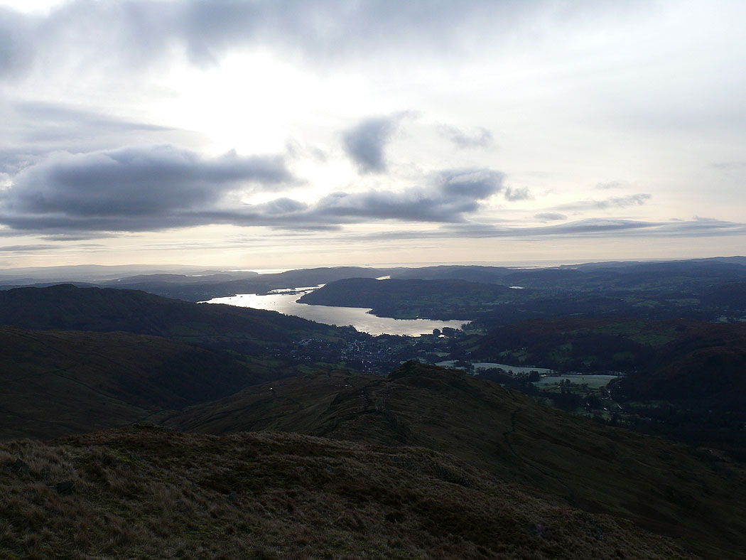
Windermere from High Pike
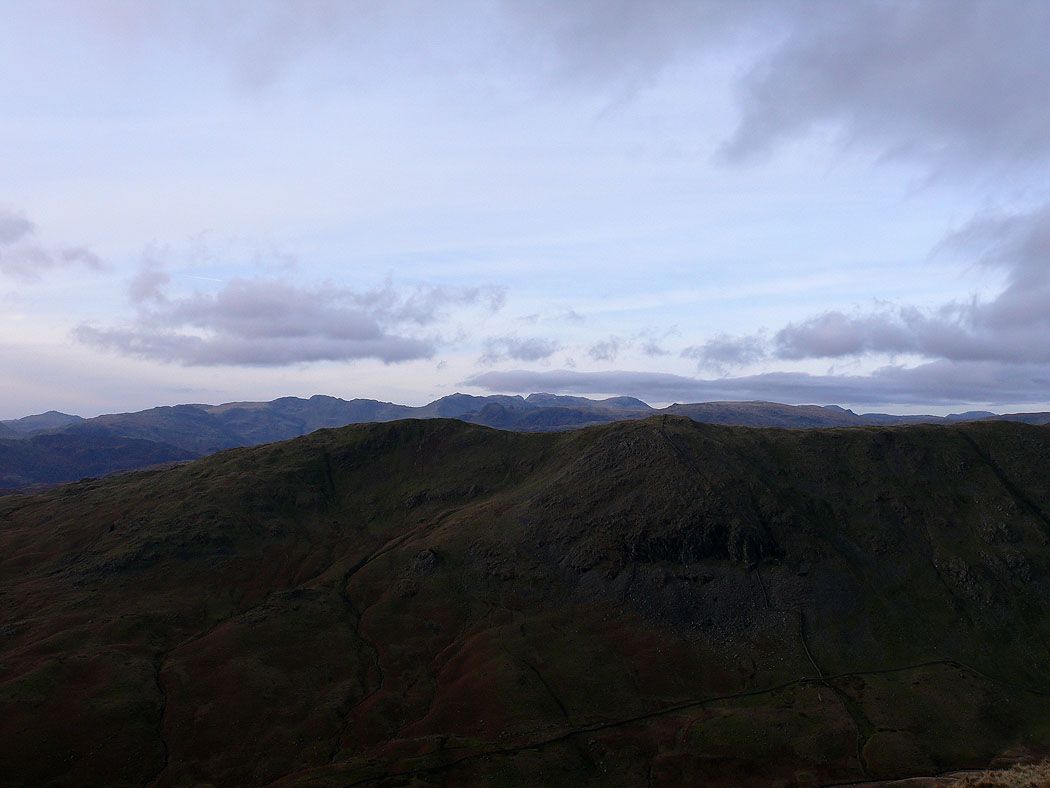
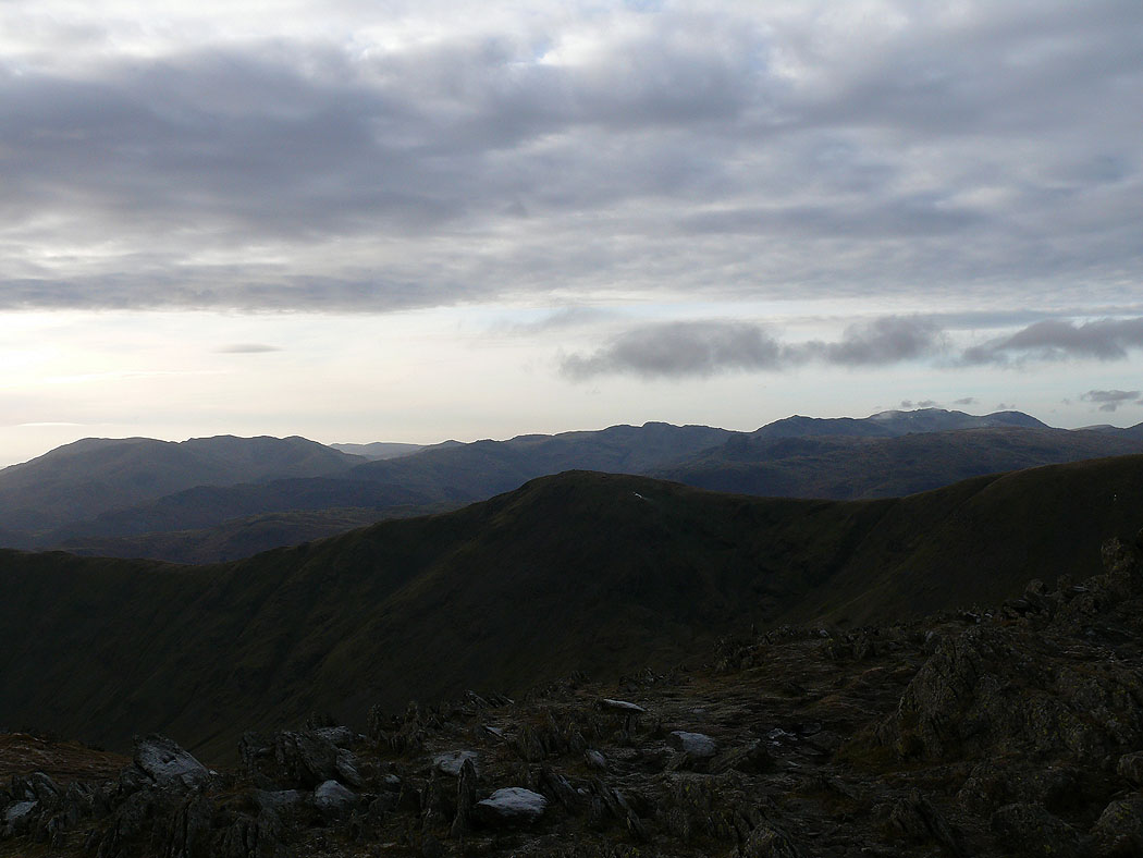
Crinkle Crags, Bowfell and the Scafells with Heron Pike on the other side of the horseshoe in the foreground
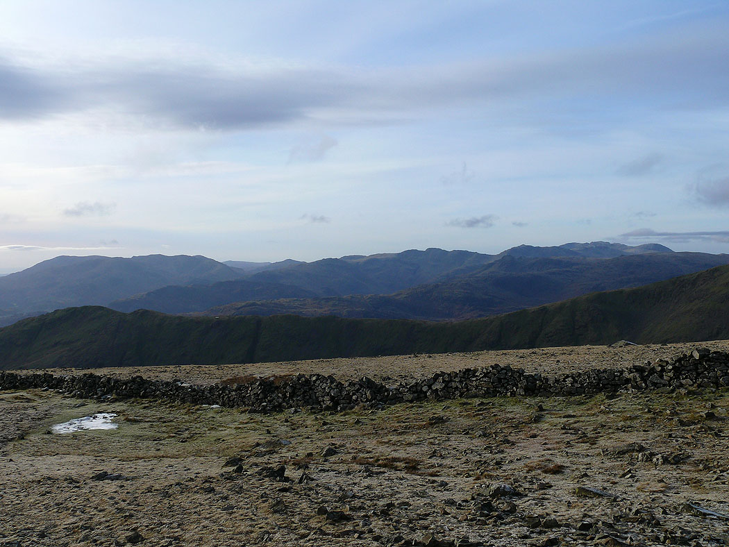
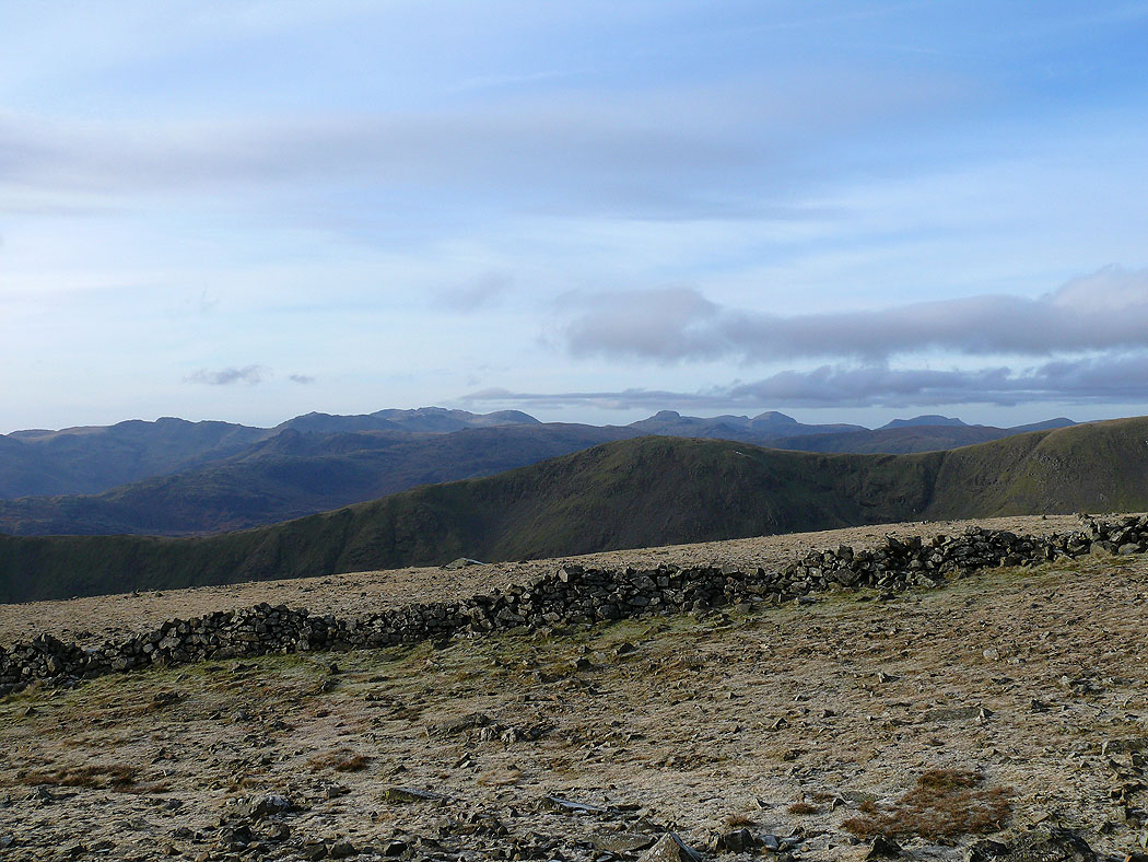
The Coniston fells, Crinkle Crags, Bowfell and the Scafells
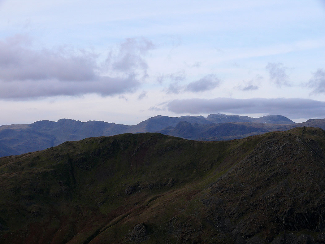
Zooming in on the Crinkle Crags, Bowfell and the Scafells
On the summit of Dove Crag. The Coniston fells, Crinkle Crags, Bowfell and the Scafells in the distance.
Crinkle Crags, Bowfell, the Scafells, Great Gable, Pillar and the High Stile range in the distance
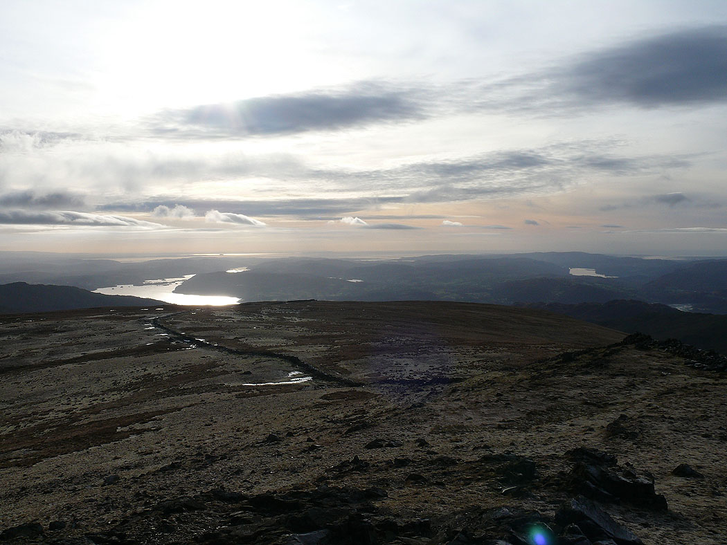
Windermere on the left and Coniston Water on the right
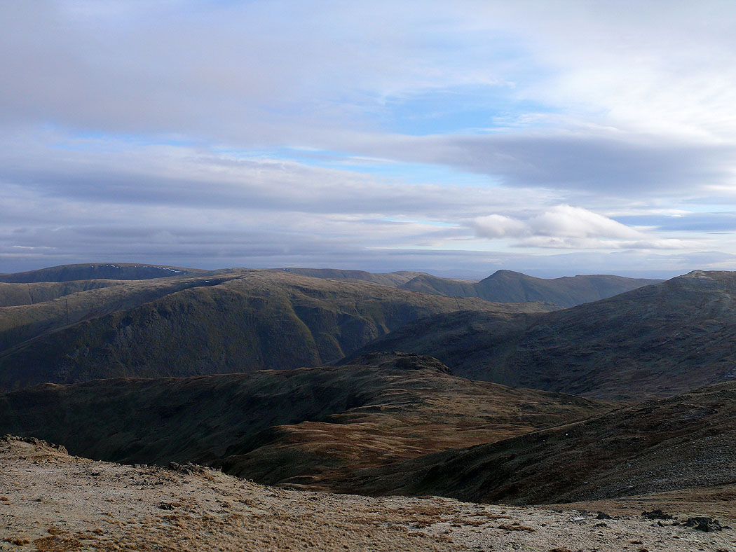
High Street and the Ill Bell ridge in view
and a bit further round to the north, High Raise, Rampshill Head, High Street and Caudale Moor
Sunshine on Place Fell above Patterdale
On Hart Crag now. The Coniston fells, Crinkle Crags, Bowfell and the Scafells in the distance.
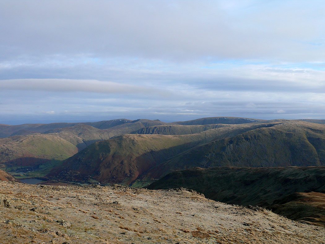
High Street and Caudale Moor
Windermere from Hart Crag
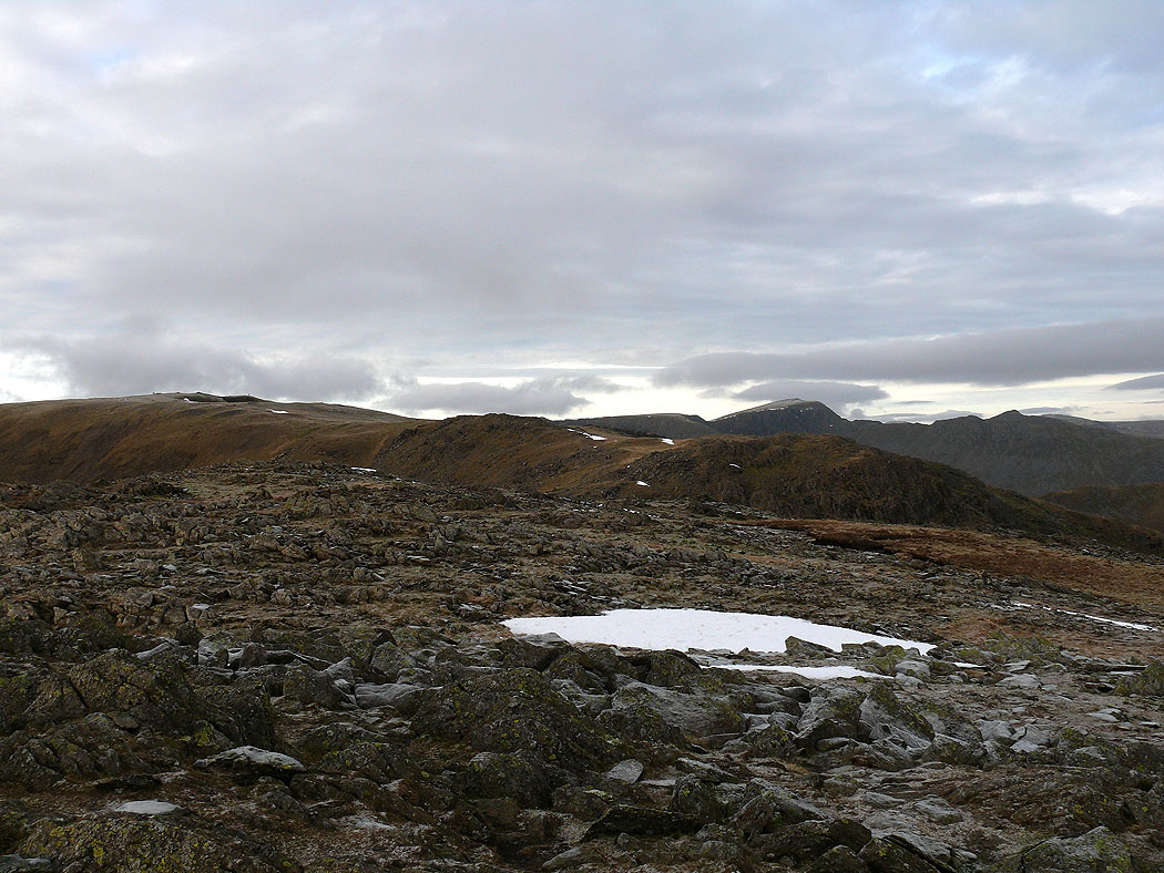
Fairfield ahead
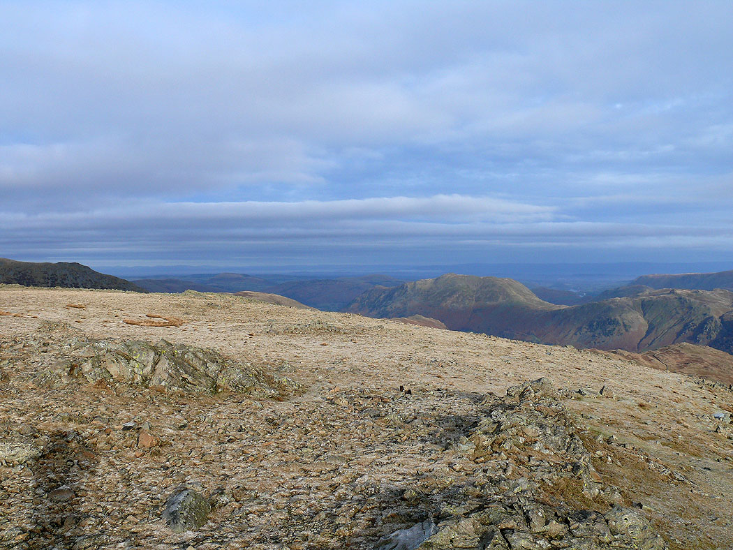
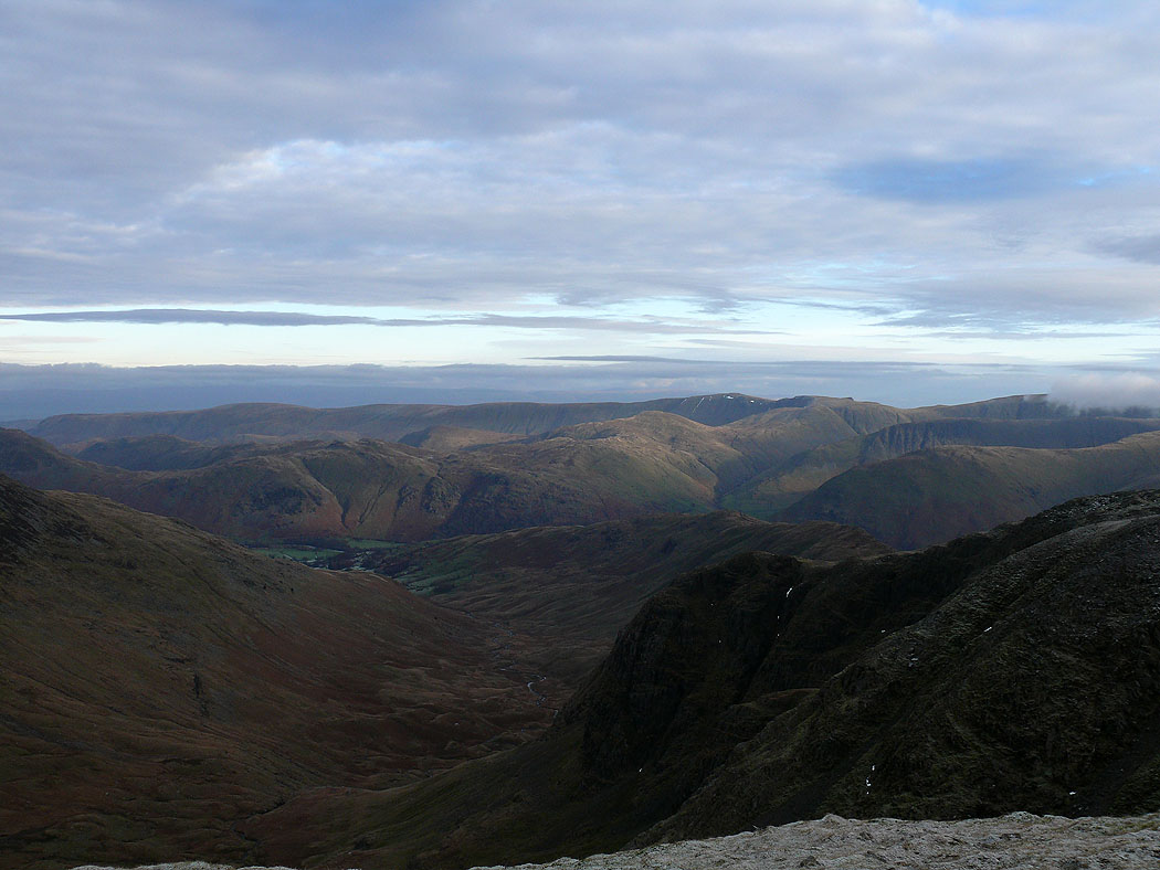
Place Fell and the fells around Patterdale
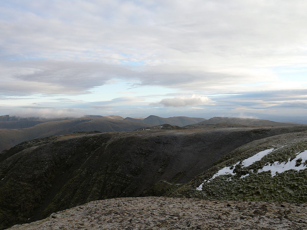
High Raise and High Street with cloud from Fairfield
High Street, the Ill Bell ridge and Red Screes
Cofa Pike and St. Sunday Crag
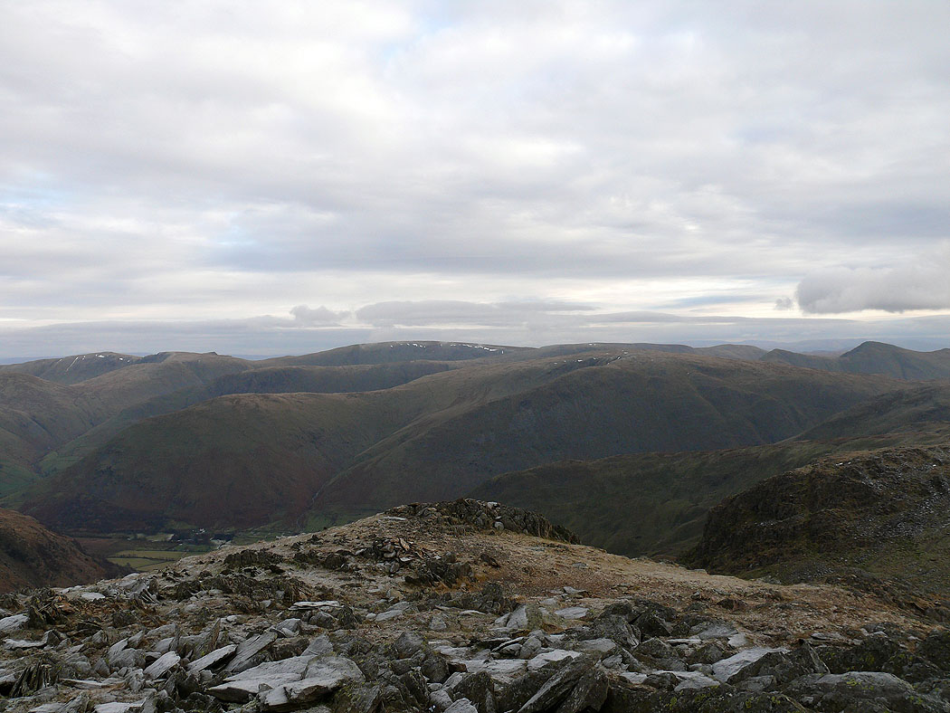
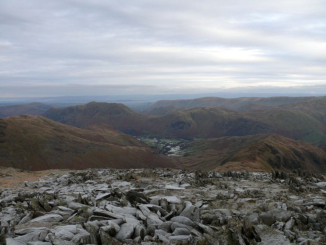
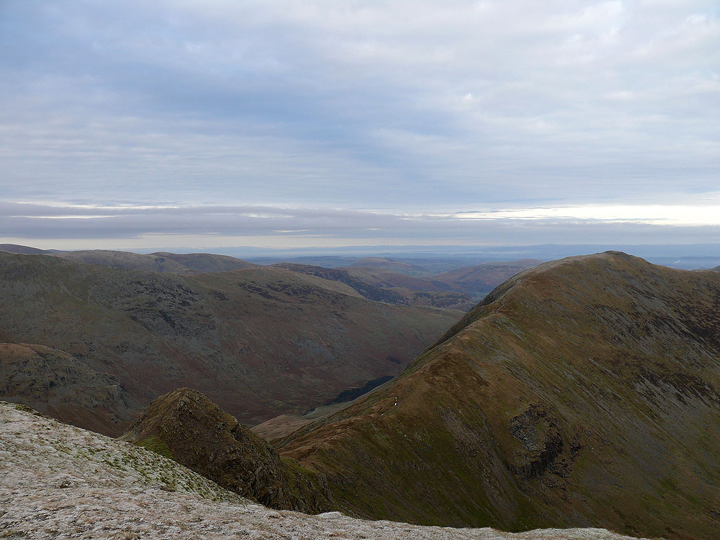
The view down Deepdale to the far eastern fells
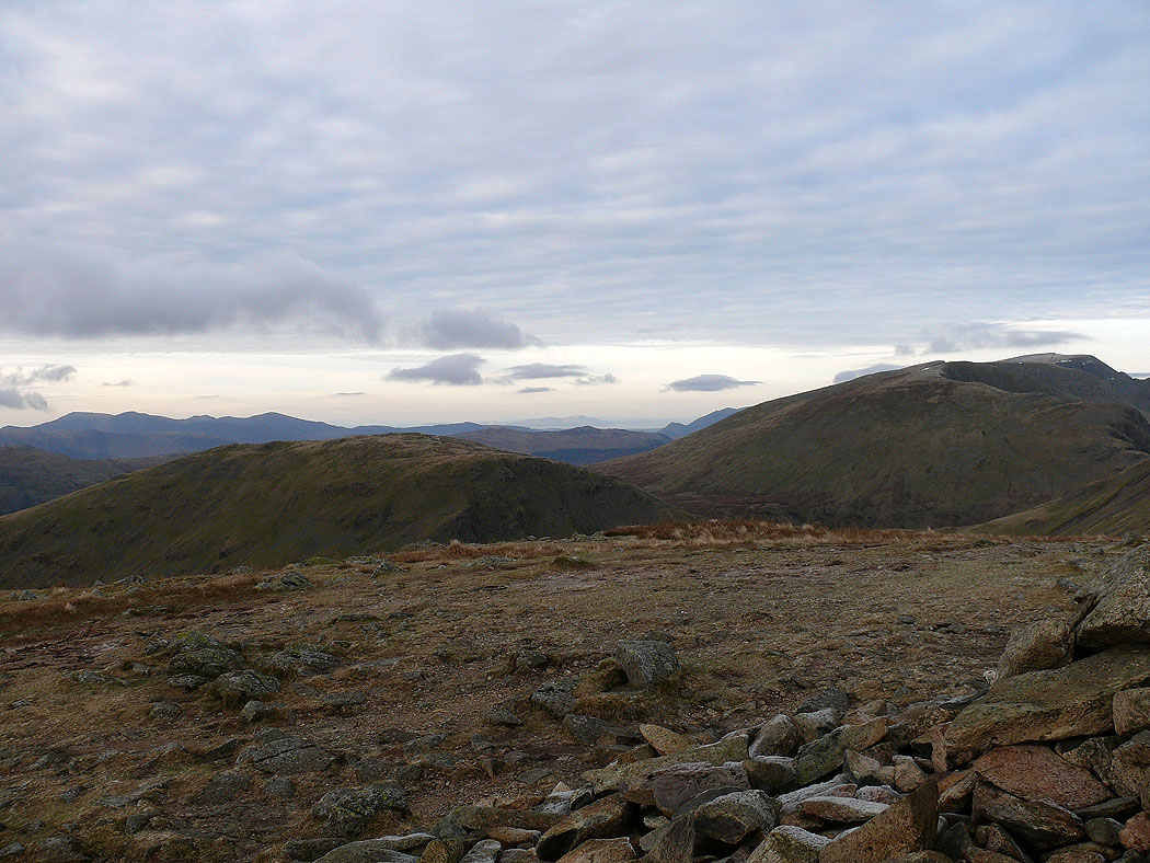
Helvellyn
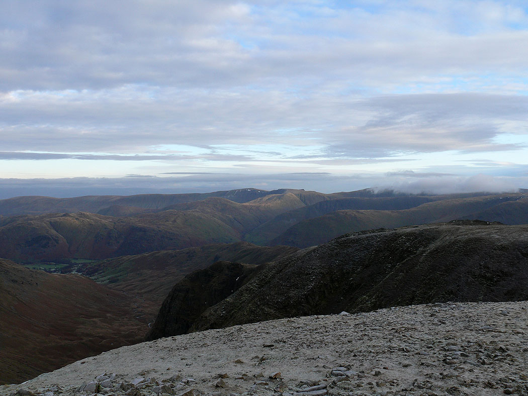
Pillar, the High Stile range and the northwestern fells in the distance
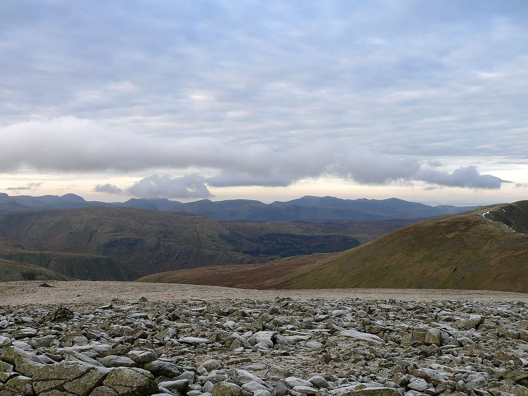
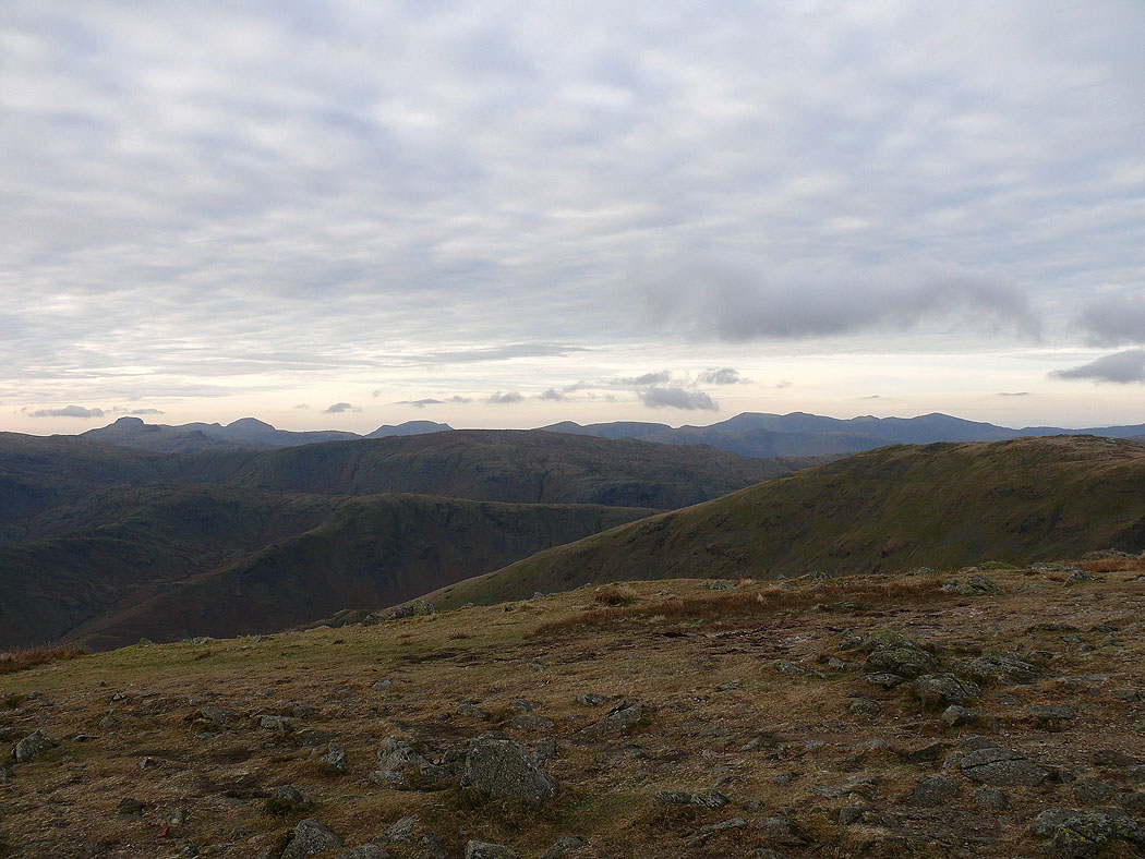
Bowfell, the Scafells, Great Gable, Pillar and the High Stile range
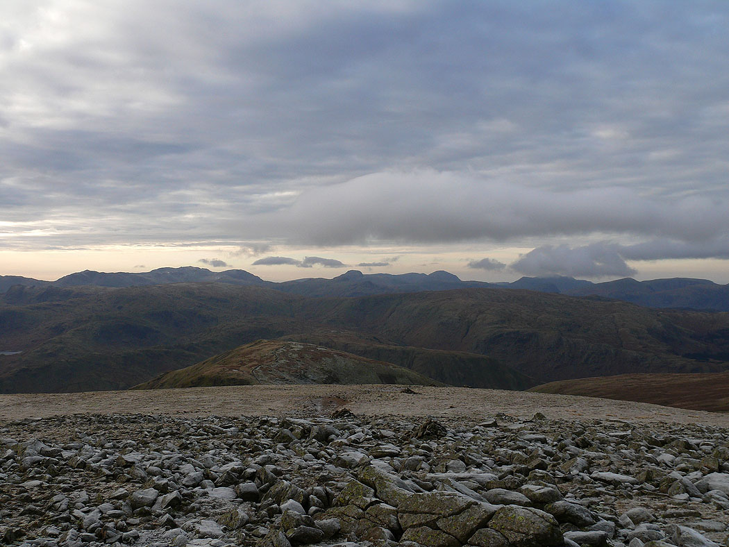
The Coniston fells, Crinkle Crags, Bowfell and the Scafells
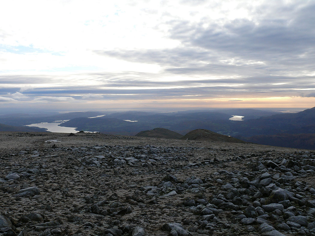
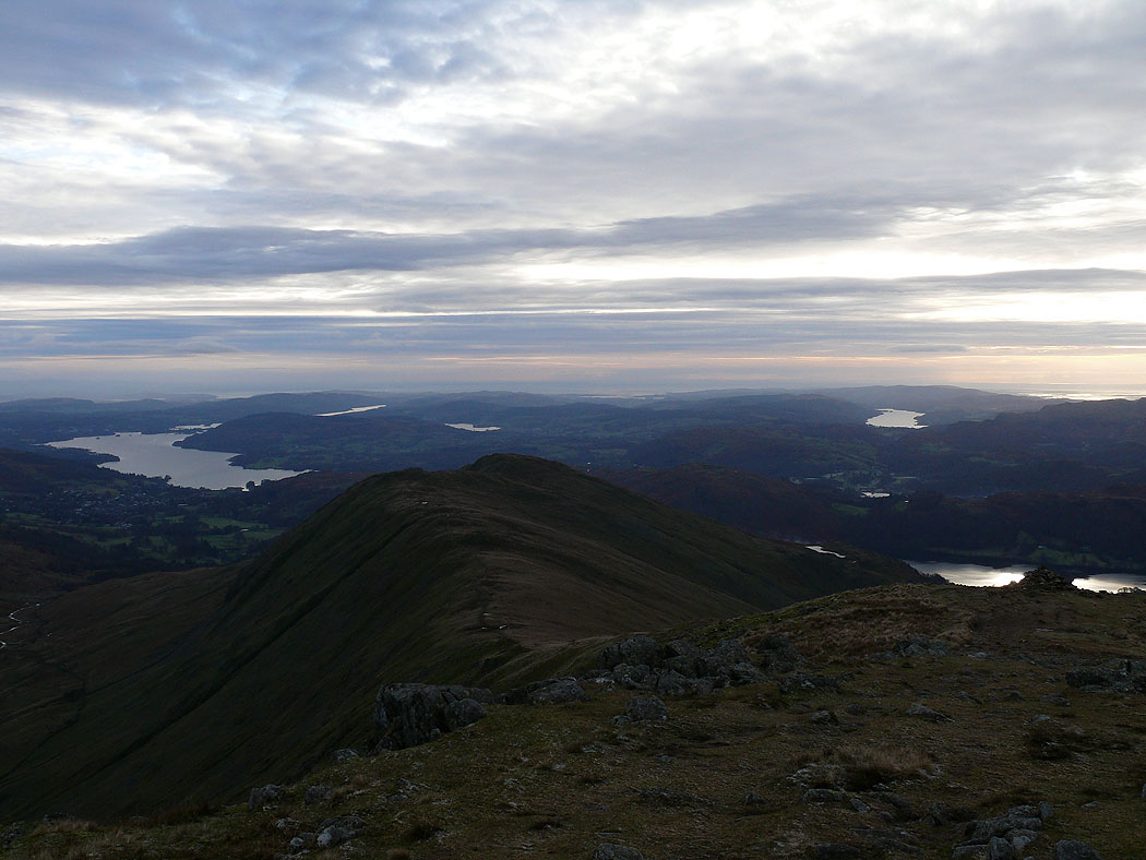
Windermere and Coniston Water
On the summit of Great Rigg
Seat Sandal and Helvellyn
Great Gable, Pillar, the High Stile range and the northwestern fells
Crinkle Crags, Bowfell, the Scafells, Great Gable and Pillar
The view down the ridge to Heron Pike
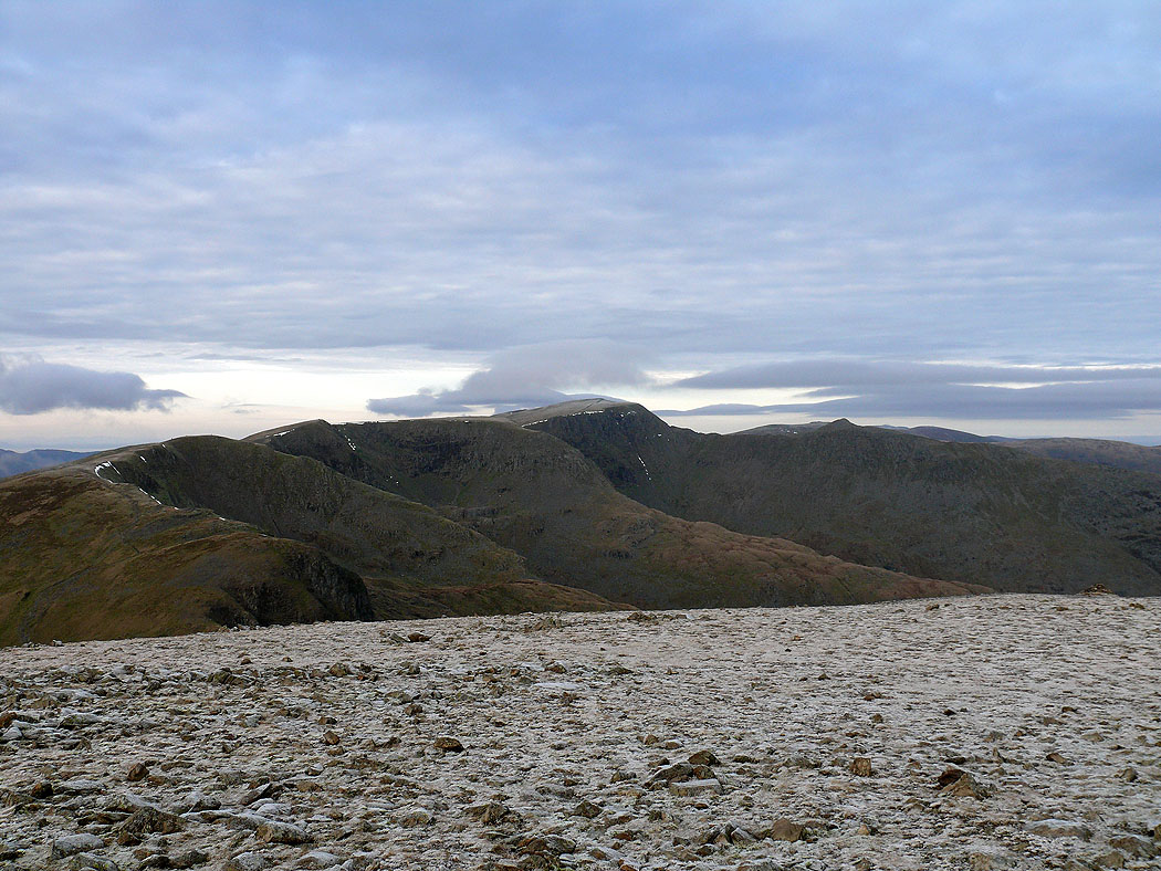
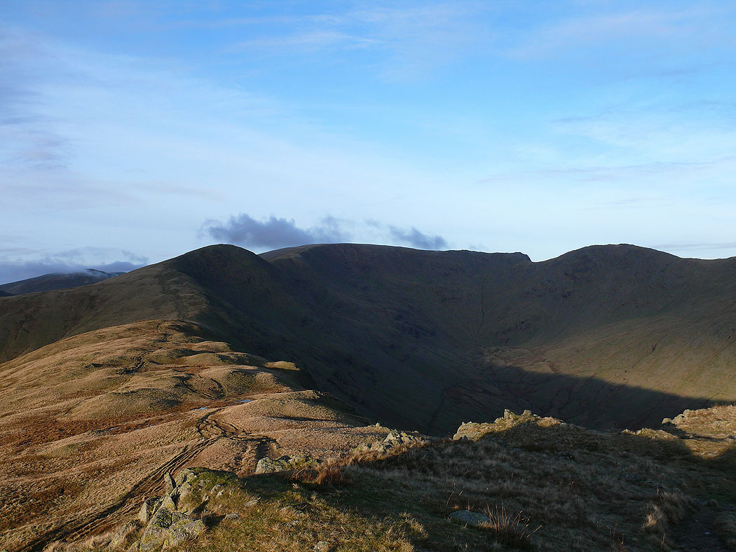
The view back up the ridge to Great Rigg, Fairfield and Hart Crag from Heron Pike
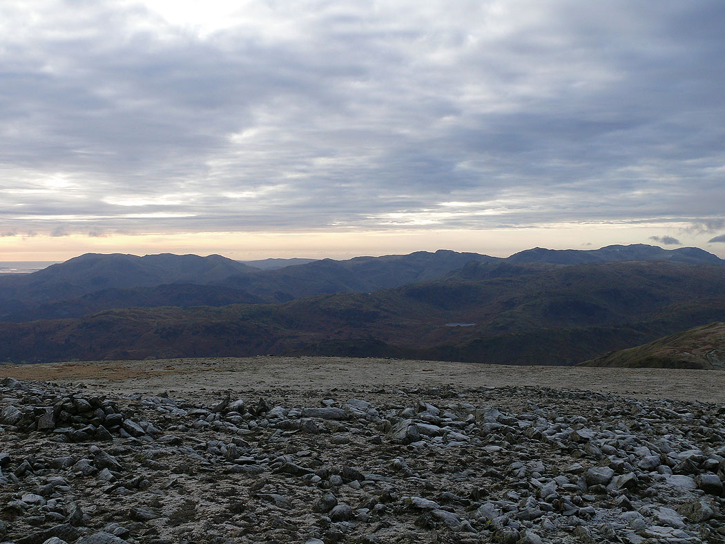
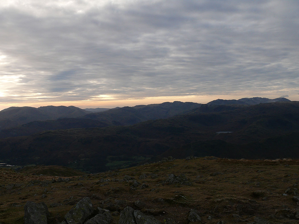
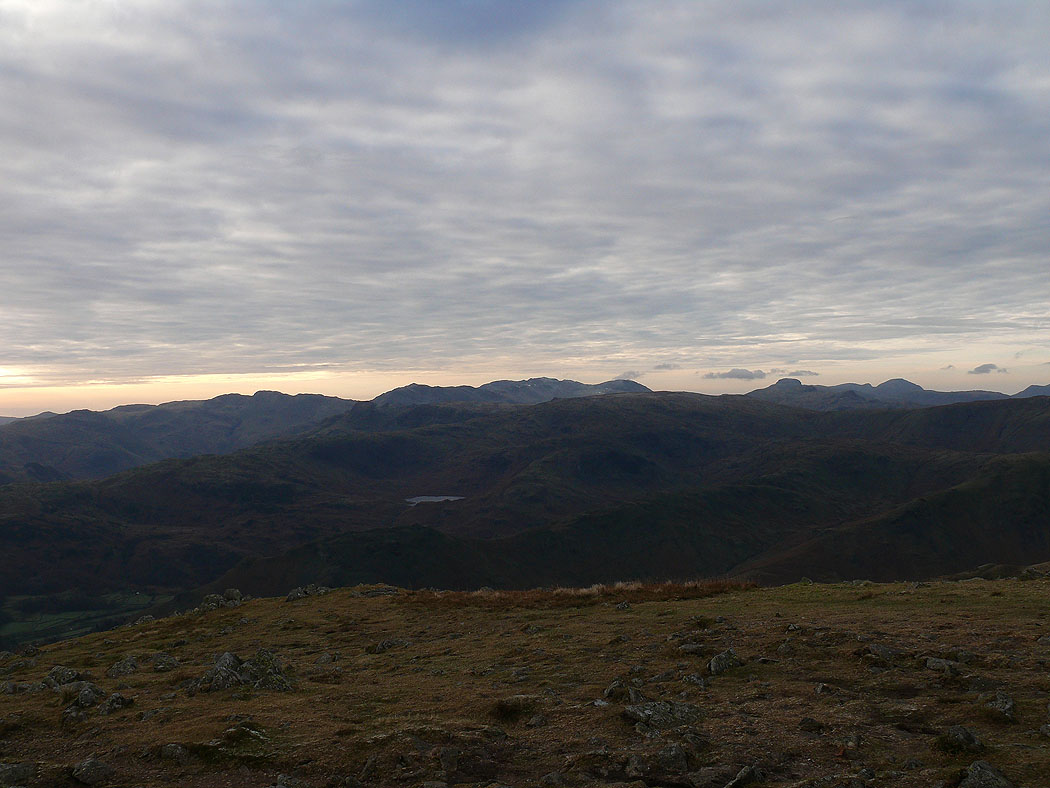
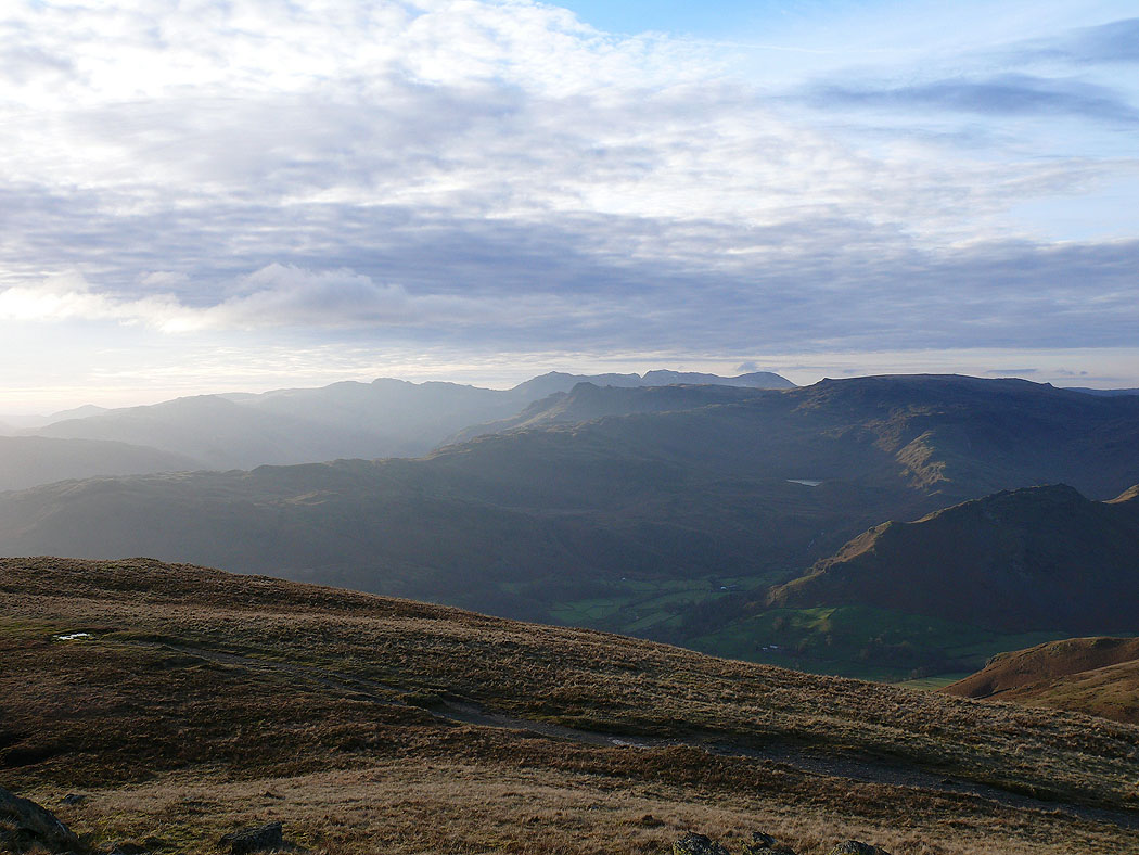
Looking across to the Crinkle Crags, Bowfell, the Scafells and the Langdale Pikes
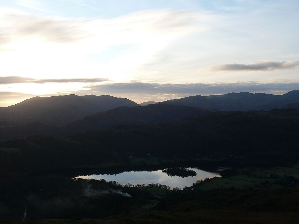
The last shot of the day from Nab Scar looking across Grasmere
