13th December 2014 - The Calf
Walk Details
Distance walked: 8.5 miles
Total ascent: 2559 ft
OS map used: OL19 - Howgill Fells & Upper Eden Valley
Time taken: 5 hrs
Route description: Sedbergh-Howgill Lane-Lockbank Farm-Settlebeck Gill-Rowantree Grains-Calders-The Calf-Calders-Rowantree Grains-Winder-Lockbank Farm-Howgill Lane-Sedbergh
After enjoying a walk in the snow on Pendle Hill yesterday I had to take the chance to get out in it again today while it lasted. I decided to go to Sedbergh and do a walk up to The Calf and back, hoping to get some great photos of snow covered fells across to the Lake District, plus Sedbergh is on a main road so there wouldn't any issues with roads that hadn't been gritted. The forecast was for it to be windy with a chance of snow showers but for the cloud to be above the tops. That wasn't how it turned out, as you'll see below.
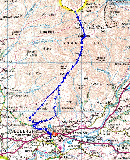
From the car park in Sedbergh I walked up Howgill Lane to Lockbank Farm, through the farmyard and then along a path above the intake wall to Settlebeck Gill. I then started the long climb up the side of Winder to join the bridleway past Arant Haw to Calders and then The Calf. My route back was pretty much the same except for the visit to Winder before making my way back through Lockbank Farm and down Howgill Lane to Sedbergh.
Route map
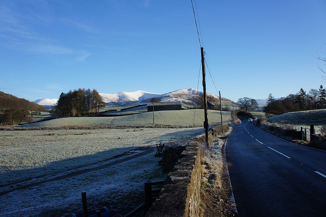
Snow covered Howgills as I drive towards Sedbergh. Looks great at the moment.
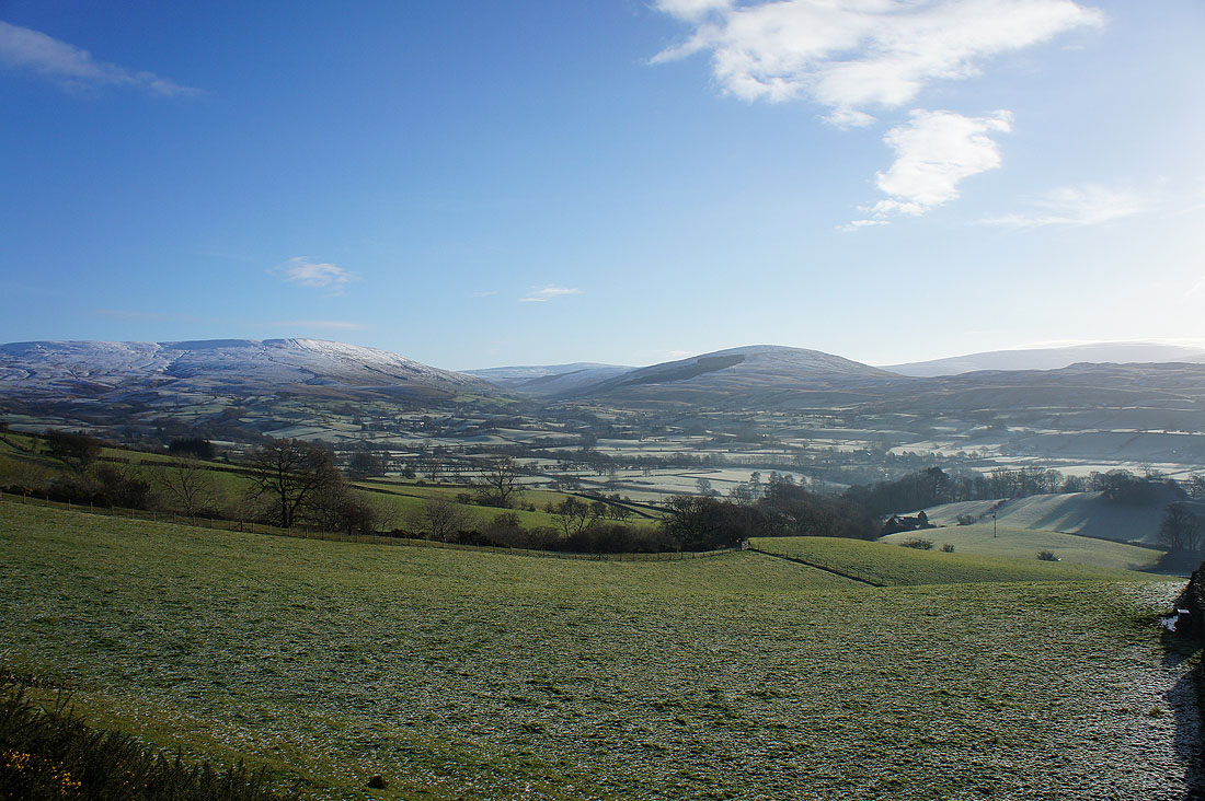
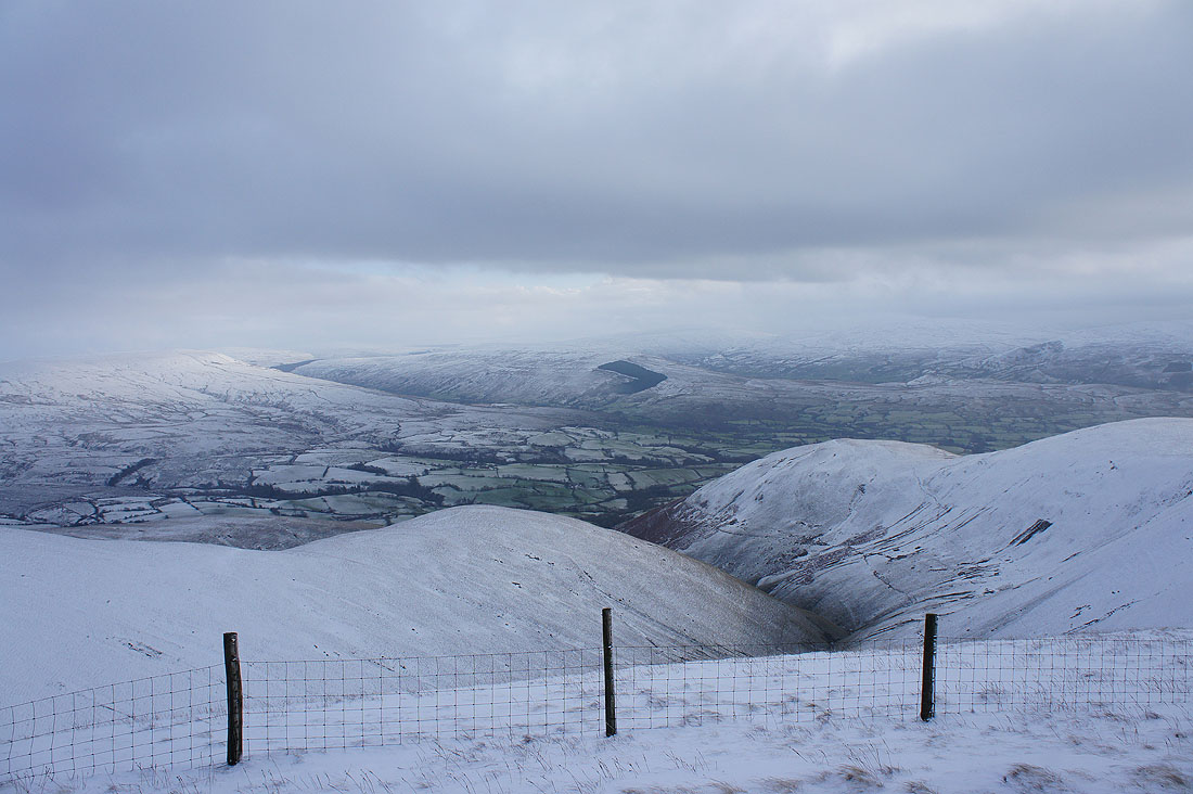
Baugh Fell, Garsdale, Aye Gill Pike and the Rawthey valley as I follow the path to Settlebeck Gill
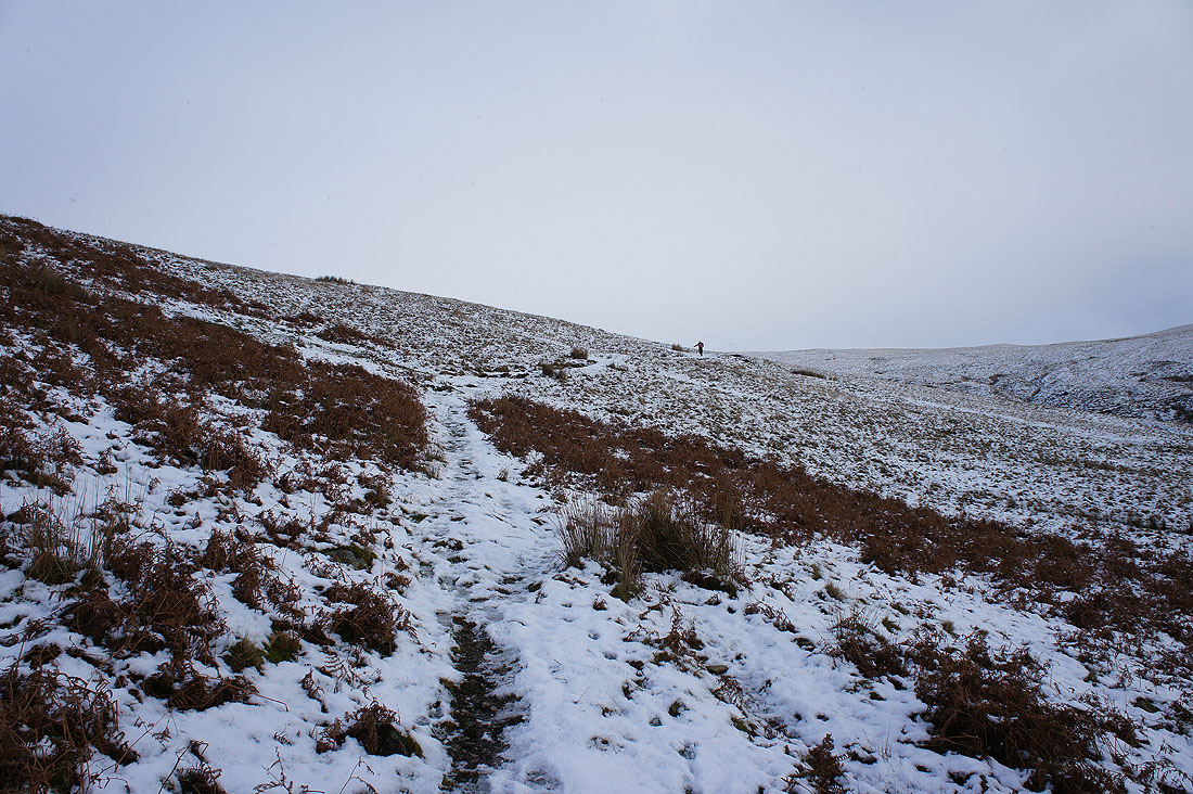
Heading up by Settlebeck Gill and the weather is definitely changing
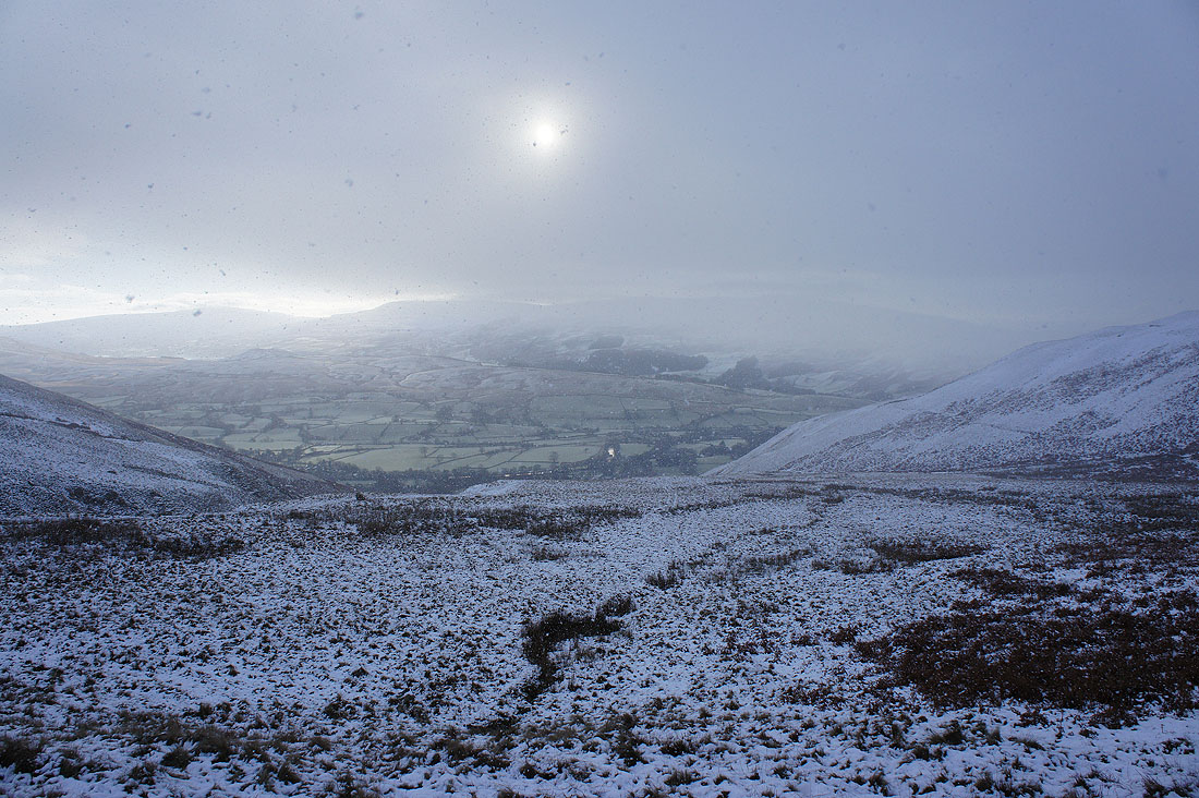
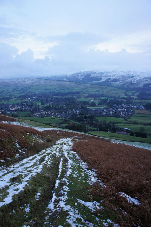
Looking back down towards Sedbergh as the snow starts to fall
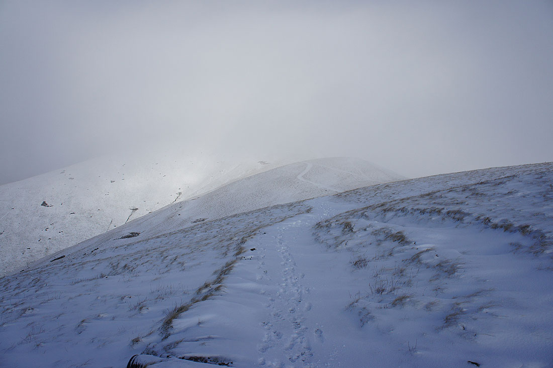
The best part of an hour later and I'm on Rowantree Grains between Arant Haw and Calders. The snow stopped a while ago but with the hill fog left behind the visibility was very poor. Looks like things might be improving.
The northwest ridge of Arant Haw appears through the mist
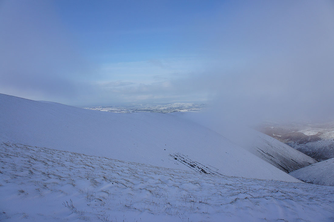
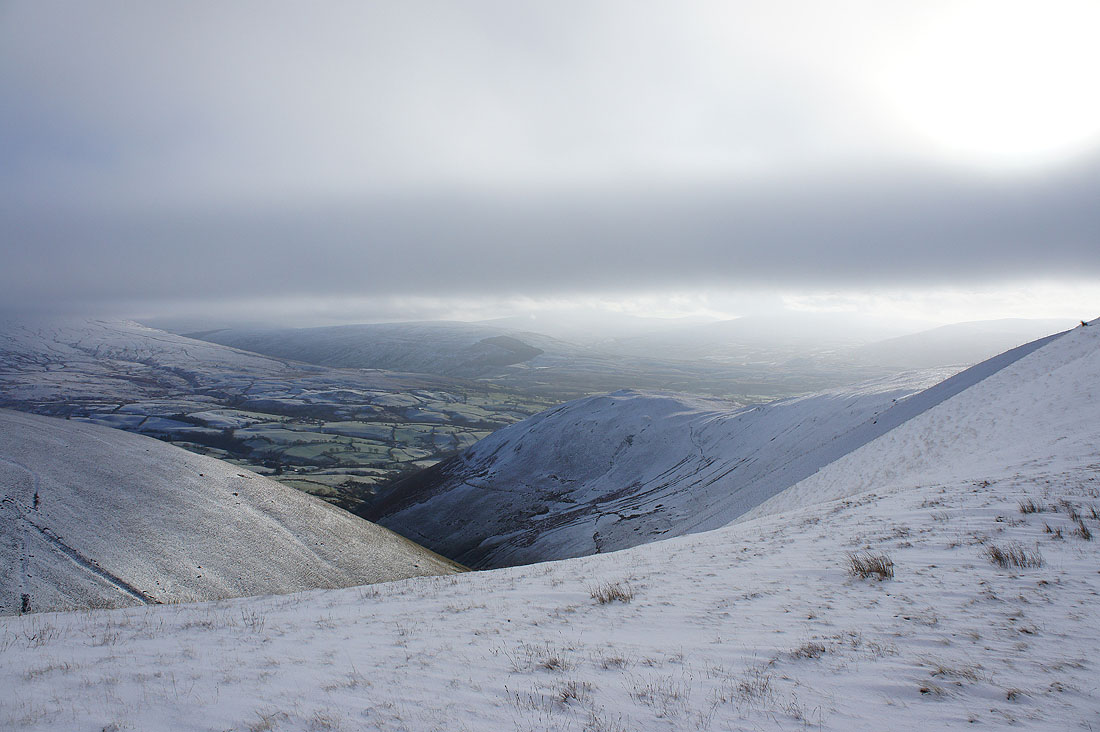
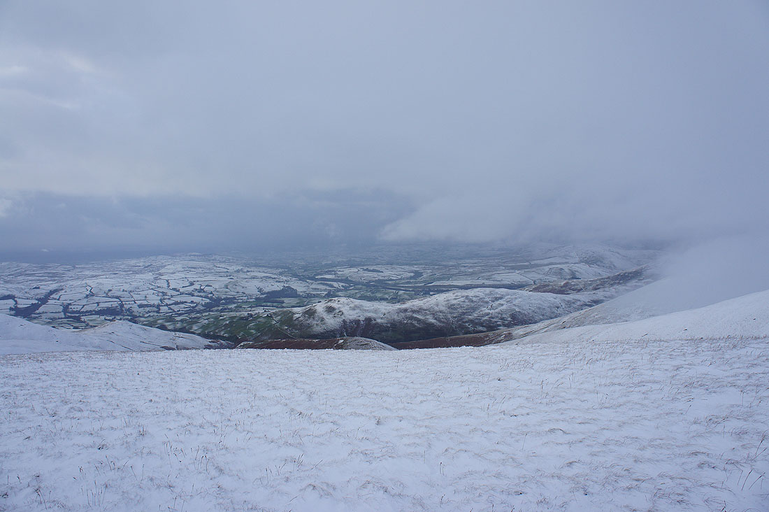
Improving views down towards the Lune valley on one side..
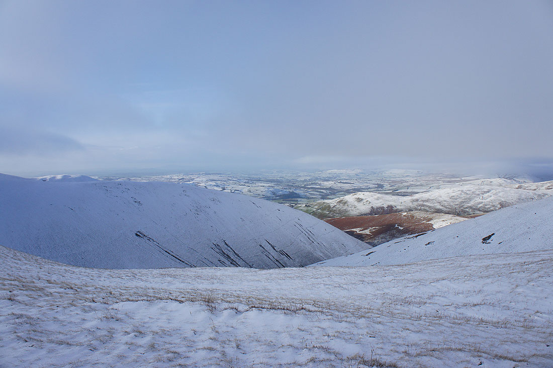
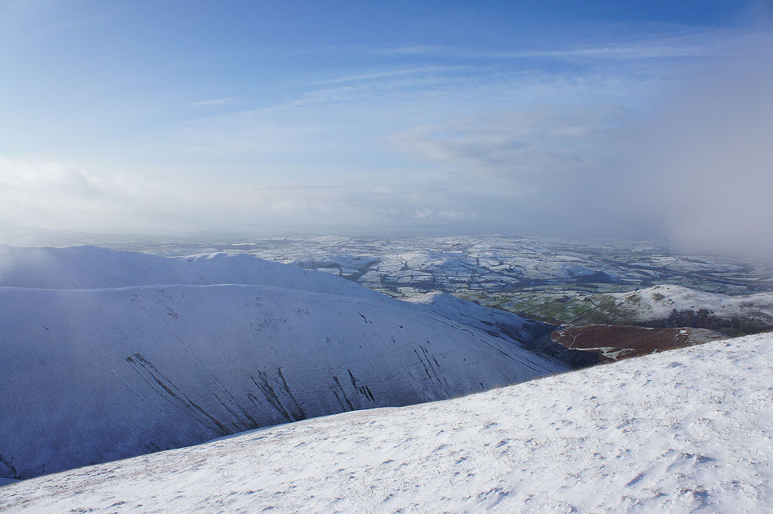
..and the Rawthey valley on the other
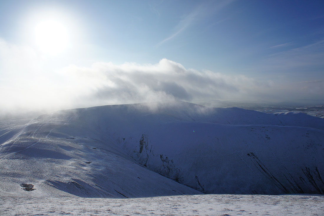
The west and northwest ridges of Arant Haw plus the fells to the west of the Lune
Looking back to Arant Haw
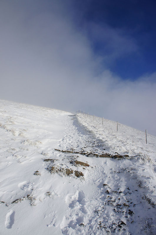
It's a steep climb up Calders
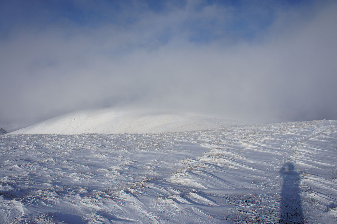
On the summit of Calders for the first time today and it's pretty wild. The strong wind is blowing the lying snow around as spindrift which kept getting in my eyes. At least the low cloud has cleared for the moment so I can see the view. Ahead, The Calf is still in cloud.
The neighbouring hill of Great Dummacks
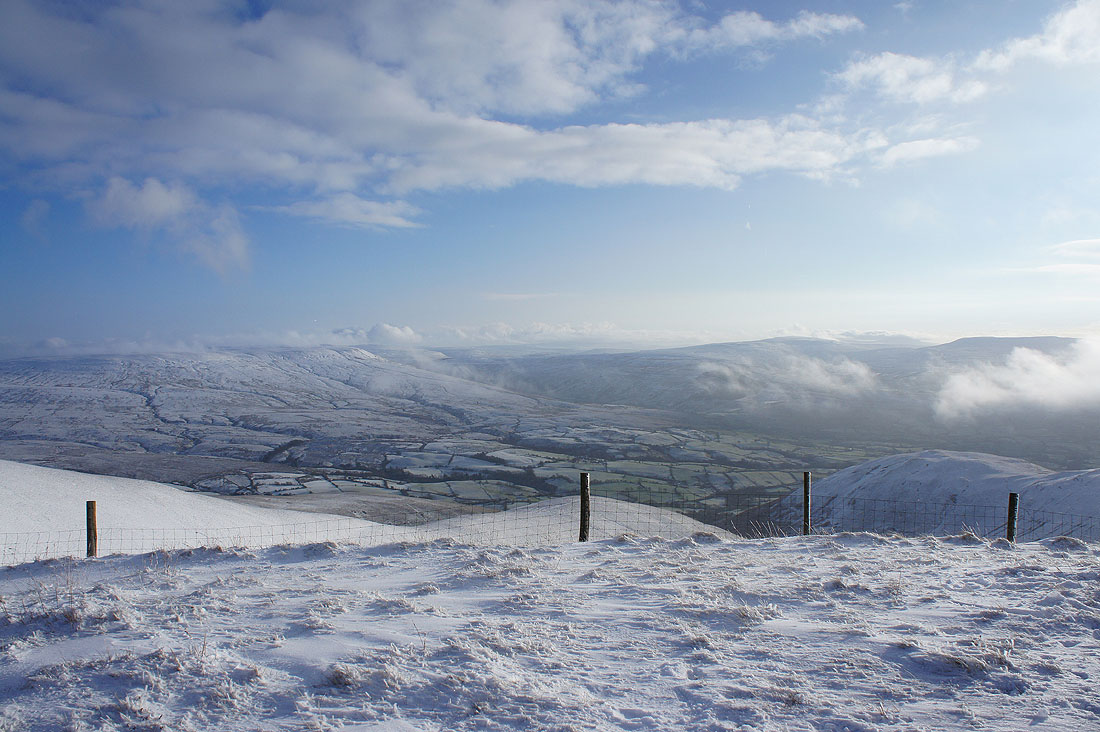
Baugh Fell, Garsdale, Whernside and Great Coum
Heading for The Calf and the snow has drifted deeply across the path in places
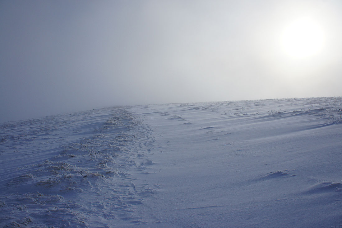
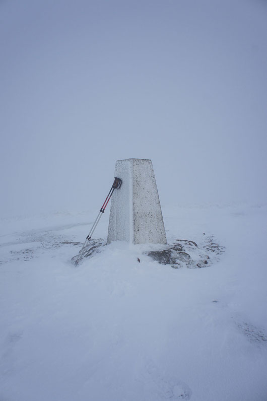
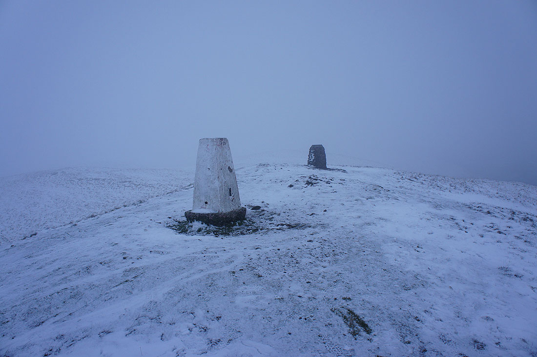
No views from The Calf today
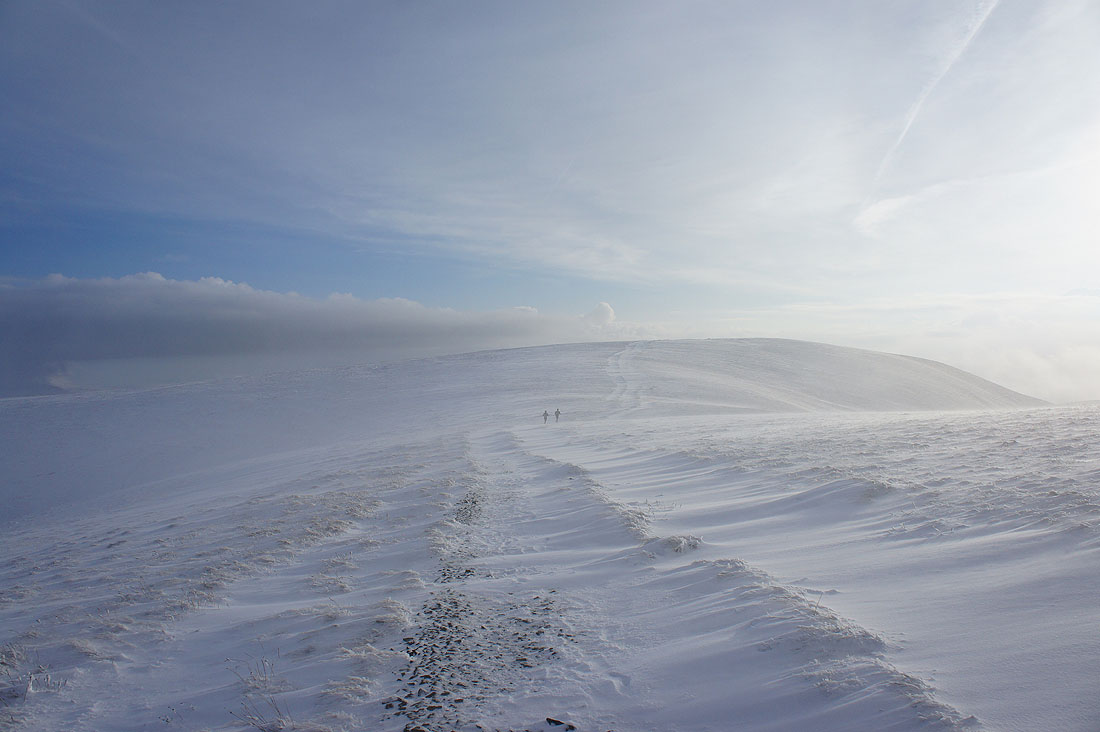
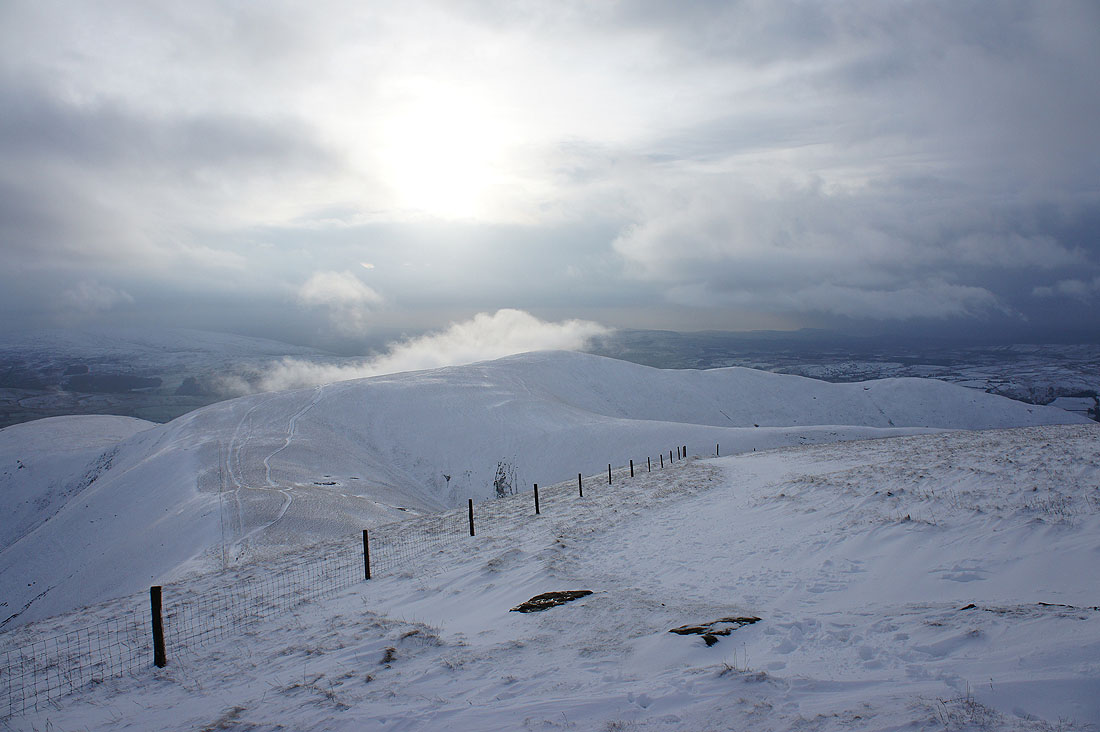
On the way back to Calders and the cloud clears again. I particularly like this shot with the fellrunners in the distance and the drifting snow.
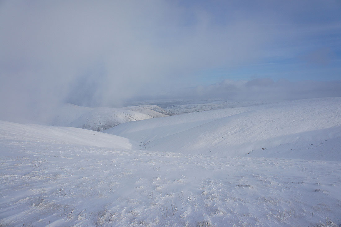
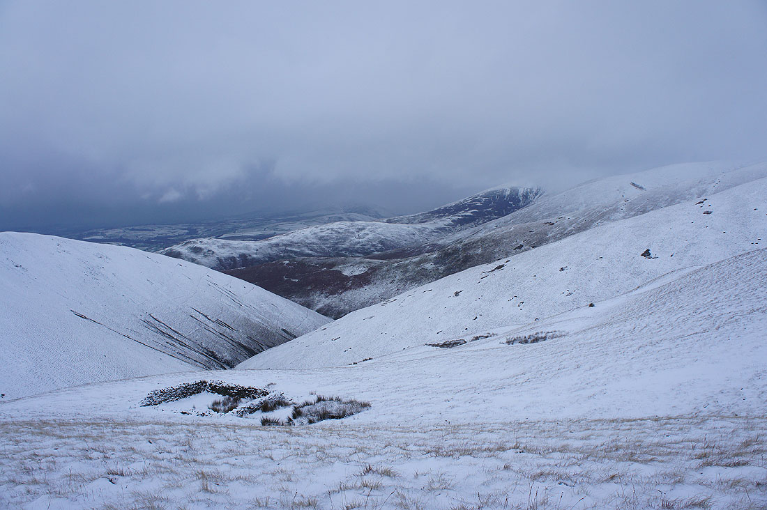
Looking northeast down Force Gill Beck to the shoulder of Yarlside and Harter Fell
Back on Calders. I still have a view but the weather does look like it's deteriorating.
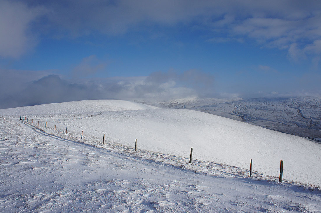
Arant Haw
A snowy sheepfold and Howgill ridges
The cloud lowered to cover the top of Winder on the way down
A quick descent to Sedbergh
