13th December 2015 - Smearsett Scar
Walk Details
Distance walked: 8.6 miles
Total ascent: 1345 ft
OS map used: OL2 - Yorkshire Dales, Southern & Western areas
Time taken: 5 hrs
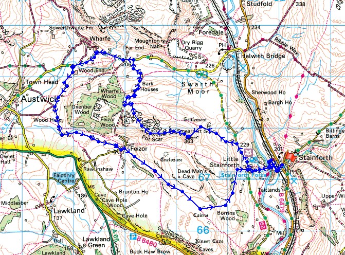
Route description: Stainforth-Stainforth Bridge-Stainforth Force-Little Stainforth-Hargreaves Barn-Smearsett Scar-Pot Scar-Higher Bark House-Lower Bark House-lane to Wharfe-Wood Lane-Hale Lane-Feizor-Stainforth Lane-Little Stainforth-Stainforth Bridge-Stainforth
After another filthy wet day yesterday, just the briefest of breaks in the weather before more rain was forecast to arrive later in the day. It never seems to stop at the moment. This part of Ribblesdale is one of my favourite areas and it offers many options for walks on a winter day. It actually started off frosty this morning and although I started off with a little hazy sunshine it didn't last long and by the time I reached Feizor it had started to rain. Fortunately it was only light but it meant that the rest of the walk was done with it being rather cold and grey.
From the car park in Stainforth I crossed the main road and followed the bridleway opposite that joins up with the lane down to Stainforth Bridge. After having a look at Stainforth Force I walked up the lane into Little Stainforth where I turned right to take the lane north. I left the lane after a few hundred yards for the footpath on the left past Hargreaves Barn that heads west to the north of Smearsett Scar and when I reached access land I made my way to the summit of Smearsett Scar. Next stop was Pot Scar and then from there I made my way back to the footpath I was on earlier. I then followed the bridleway past Higher and Lower Bark Houses out to the lane and then the lane towards the hamlet of Wharfe. I kept on the lane past Wharfe to pick up the track of Wood Lane, which brought me to Hale Lane and eventually the hamlet of Feizor. After enjoying refreshments at Elaine's Tearooms in Feizor I left on the bridleway to Stackhouse, at its top I left it for the footpath to Little Stainforth. From there I retraced my steps back to the car park in Stainforth.
Route map
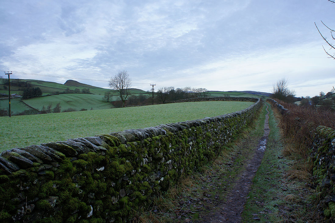
After crossing the main road, on the bridleway to the lane down to Stainforth Bridge
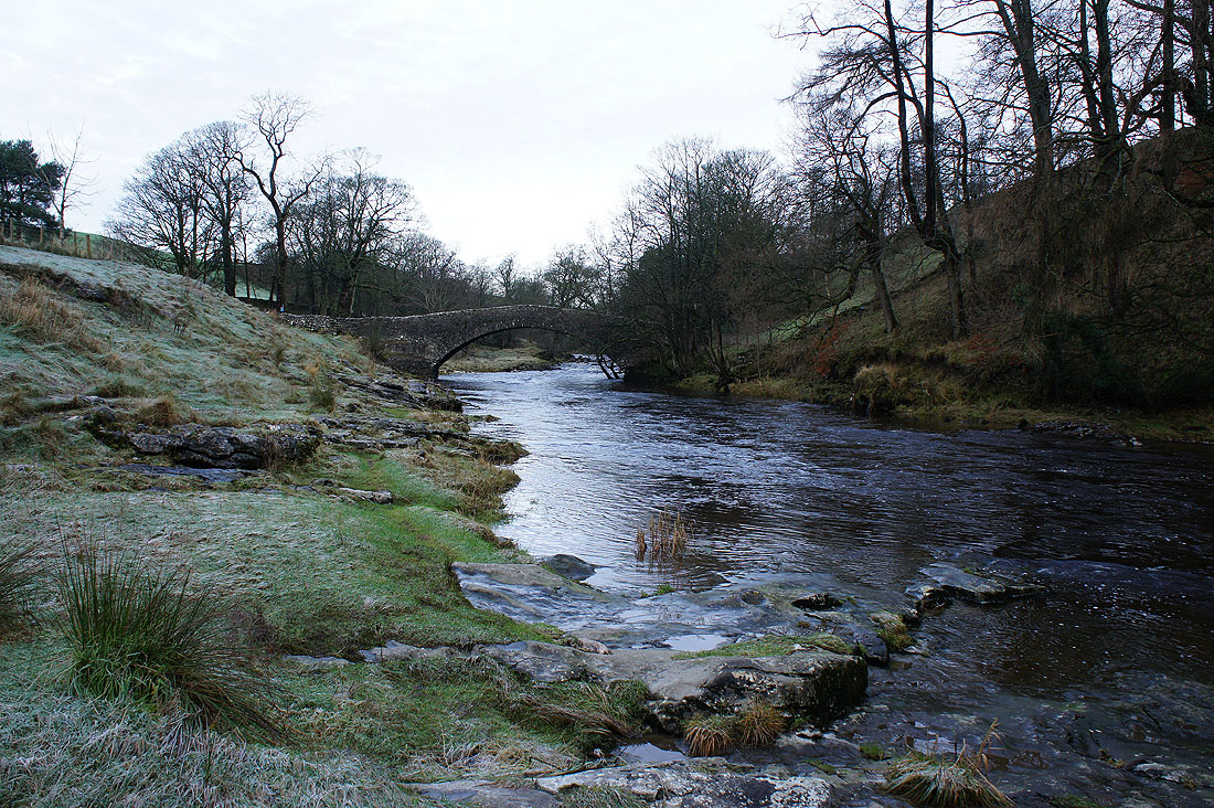
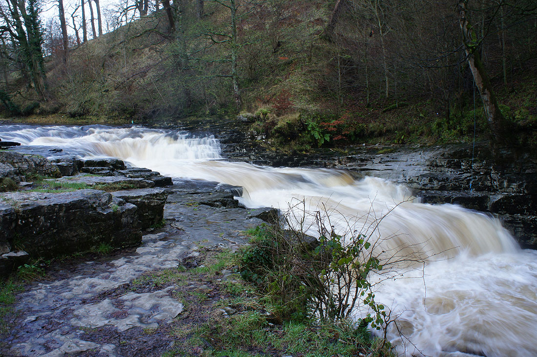
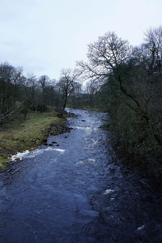
Stainforth Bridge and the Ribble
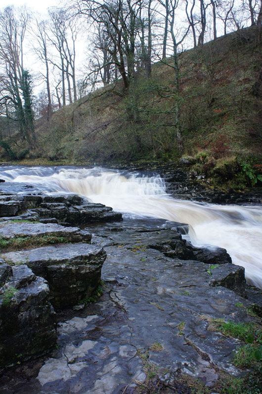
and Stainforth Force..
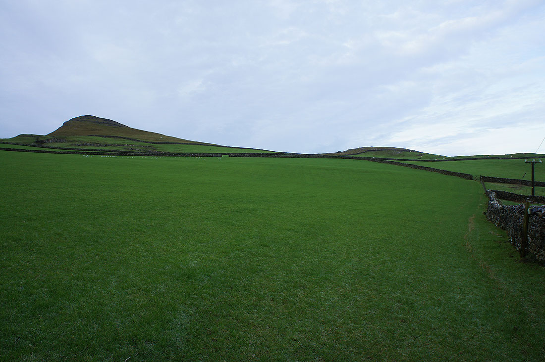
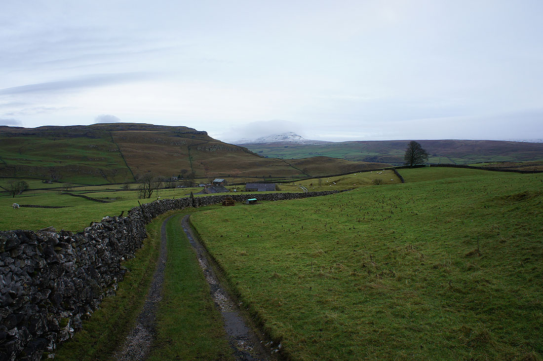
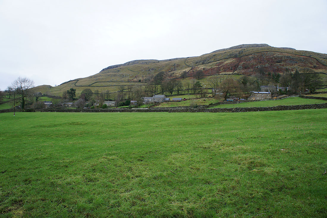
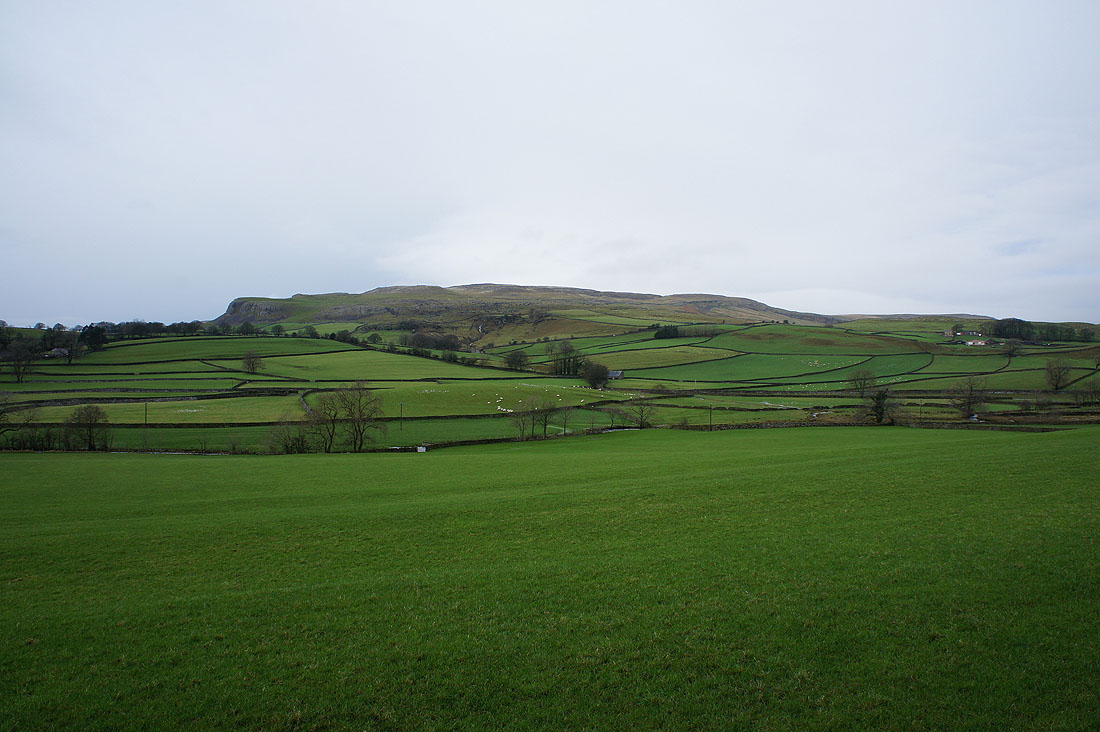
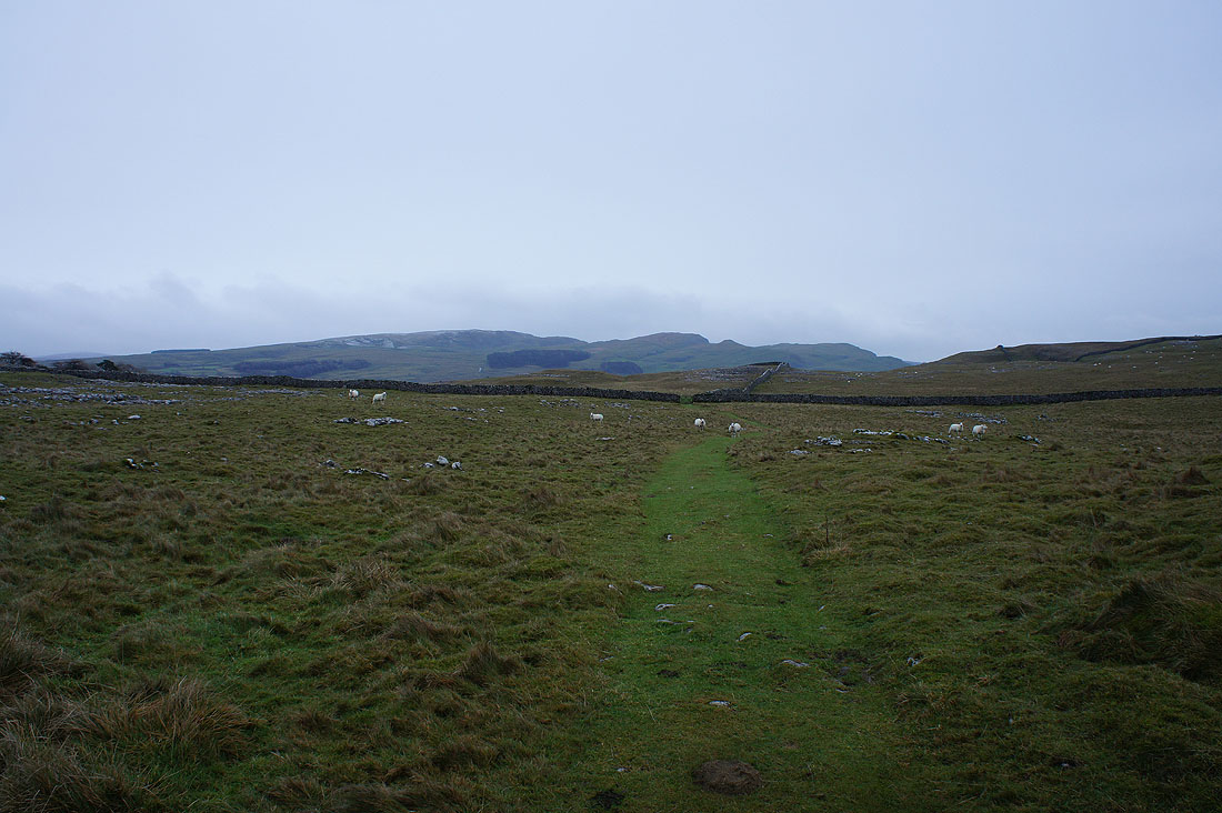
Approaching Smearsett Scar, which is the hill up on the left
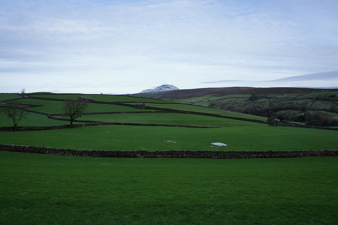
To my right, the top of Penyghent peeps above the nearby moors
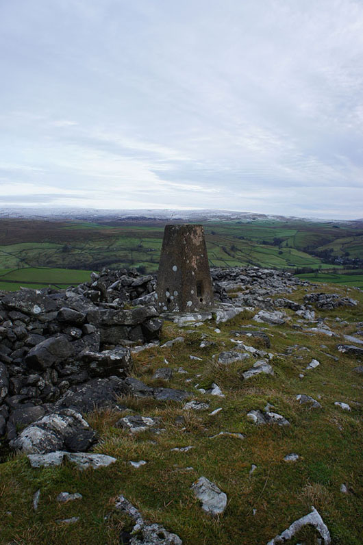
The trig point on Smearsett Scar
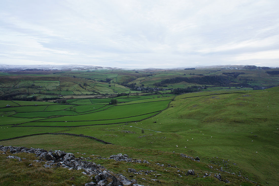
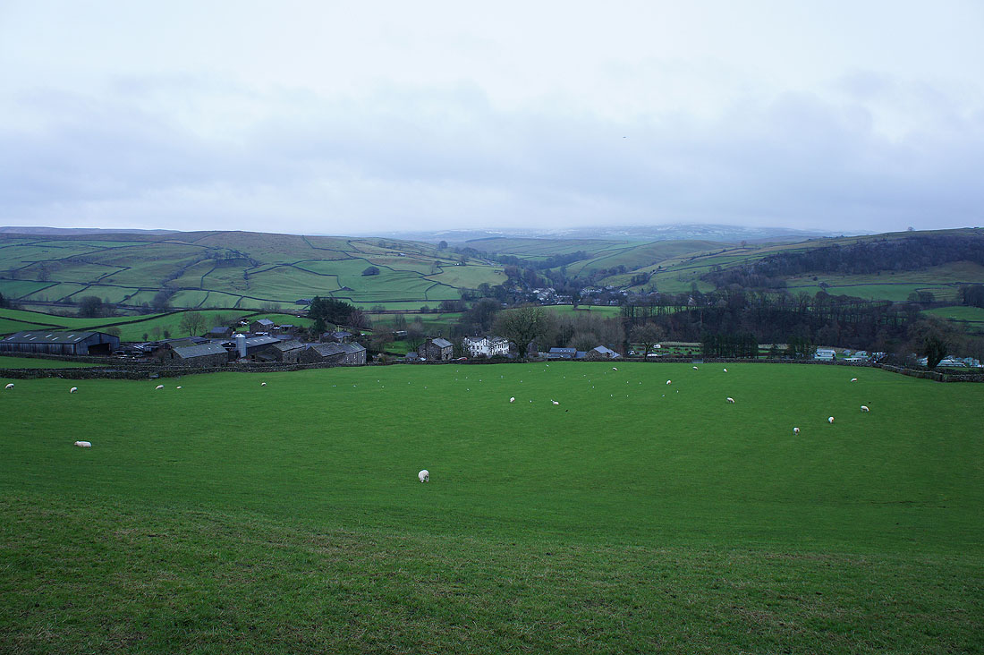
Looking across Ribblesdale to Stainforth
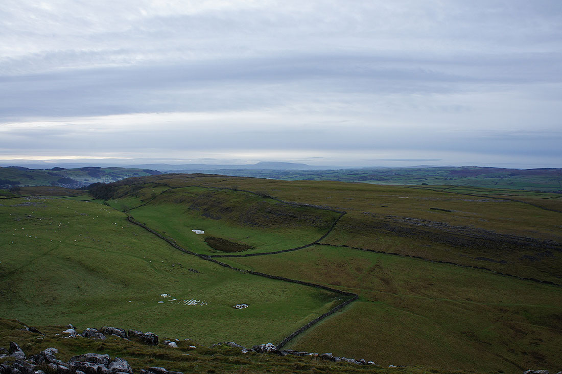
Pendle Hill in the distance
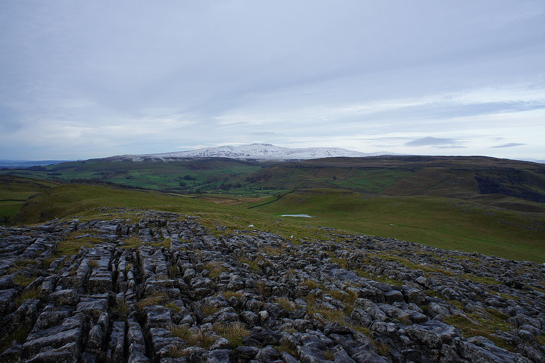
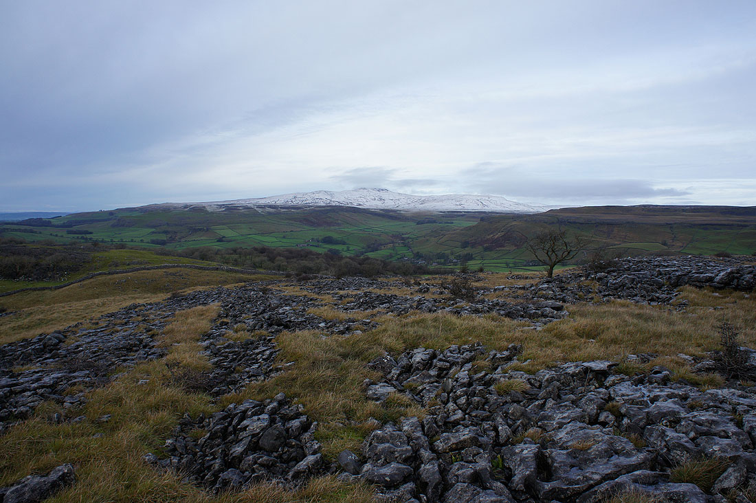
A snow topped Ingleborough
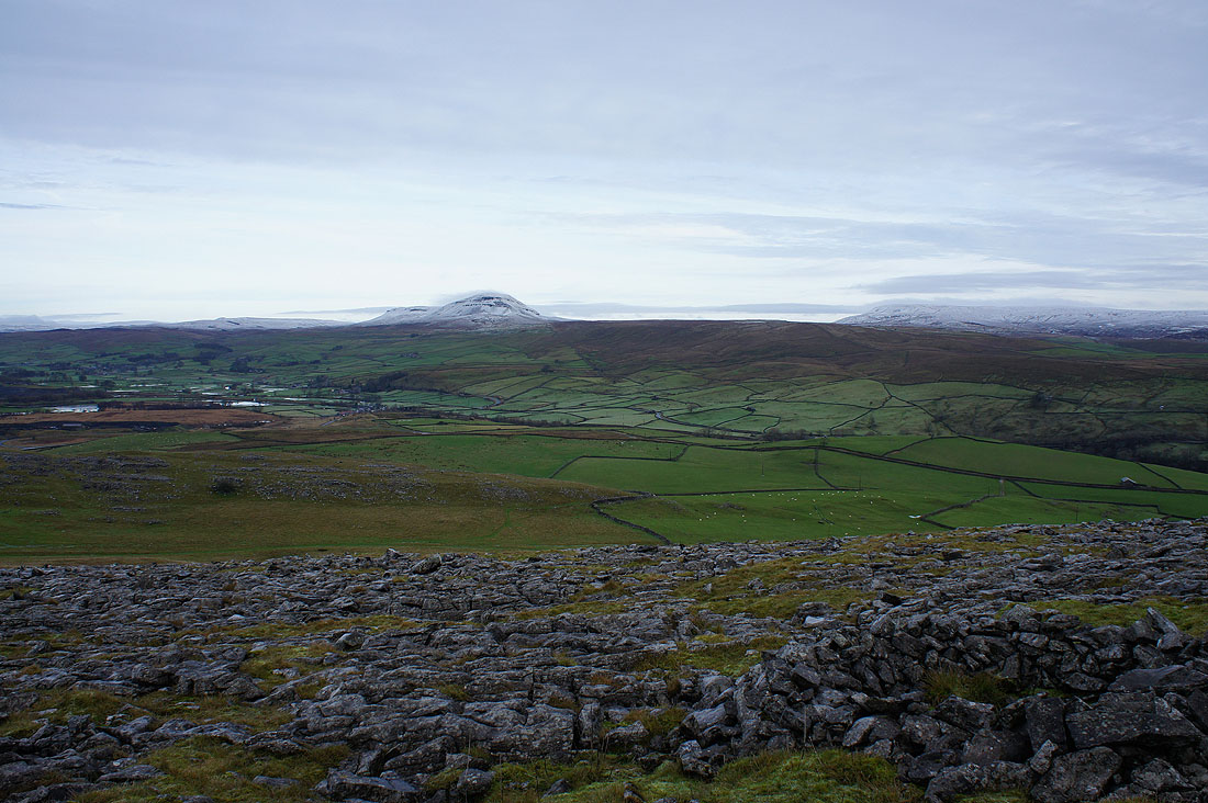
and Penyghent and Fountains Fell. Cloud is starting to form on their summits.
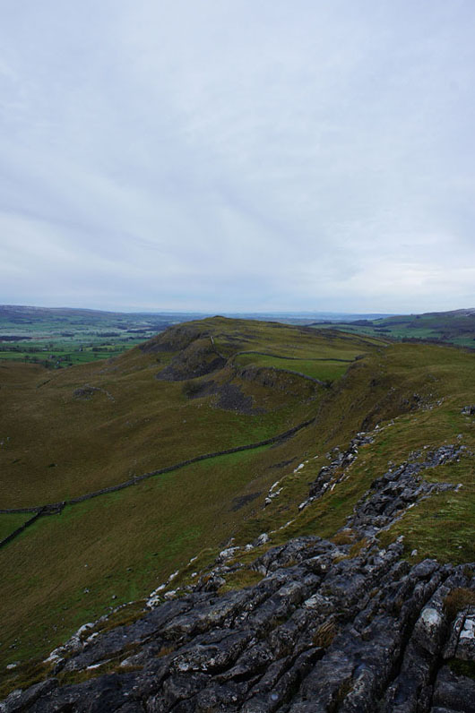
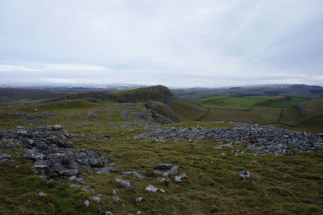
Looking across to Pot Scar
and on Pot Scar looking back to Smearsett Scar
Ingleborough from Pot Scar
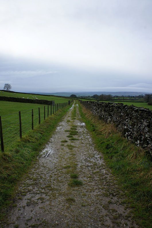
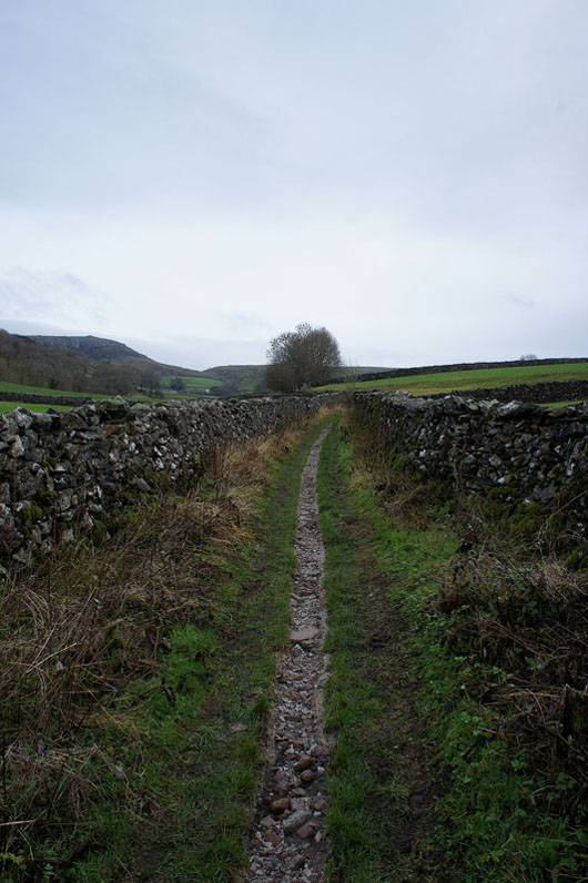
On the bridleway to Higher Bark House
Past the hamlet of Wharfe
and onto the track of Wood Lane
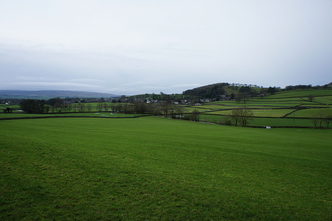
The village of Austwick across the fields
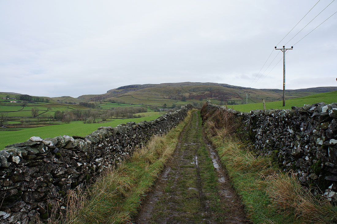
Looking back to the hill of Moughton
and across to Thwaite and its Norber boulderfield
On Hale Lane to Feizor
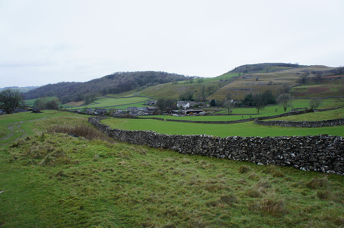
The hamlet of Feizor below Pot Scar. Time for refreshments.
Leaving Feizor
On the bridleway to Stackhouse. When I pass through the gate ahead I'll turn left for Little Stainforth.
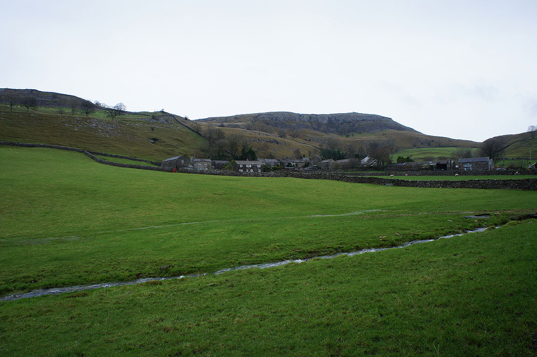
and back above Little Stainforth
The Ribble as I cross back over Stainforth Bridge
