13th February 2010 - The Howgills
Walk Details
Distance walked: 8.2 miles
Total ascent: 2551 ft
OS map used: OL19 - Howgill Fells & Upper Eden Valley
Time taken: 5 hrs
Route description: Sedbergh-Lockbank Farm-Winder-Arant Haw-Calders-The Calf-Calders-Crook-Settlebeck Gill-Sedbergh
I set off from Sedbergh and on the way up to The Calf I visited the summits of Winder, Arant Haw and Calders. On the way back down I followed the same route except for visiting the summit of Crook on the way down into Sedbergh.
Route map
© Crown copyright. All rights reserved. License number PU 100034184.
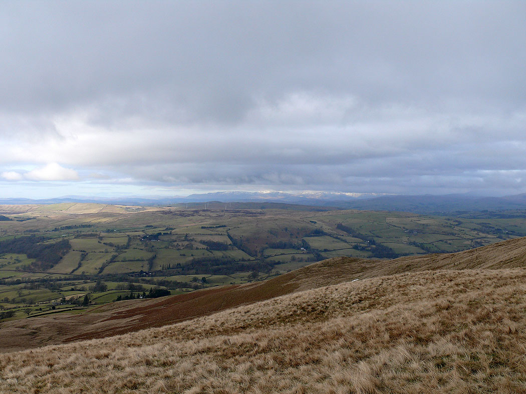
On the ascent of Winder. The Lake District fells in the far distance.
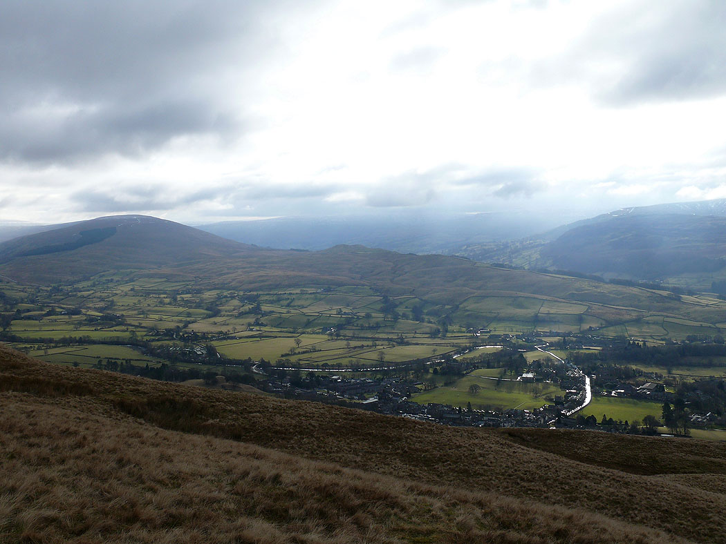
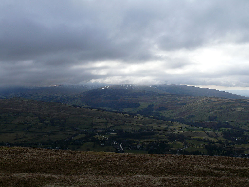
Sedbergh below
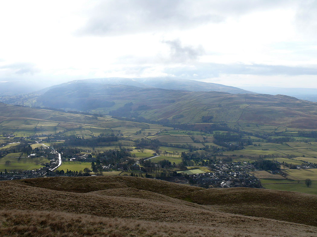
Sedbergh again. The hill opposite is Middleton Fell.
The summit of Winder looking west towards the Lake District
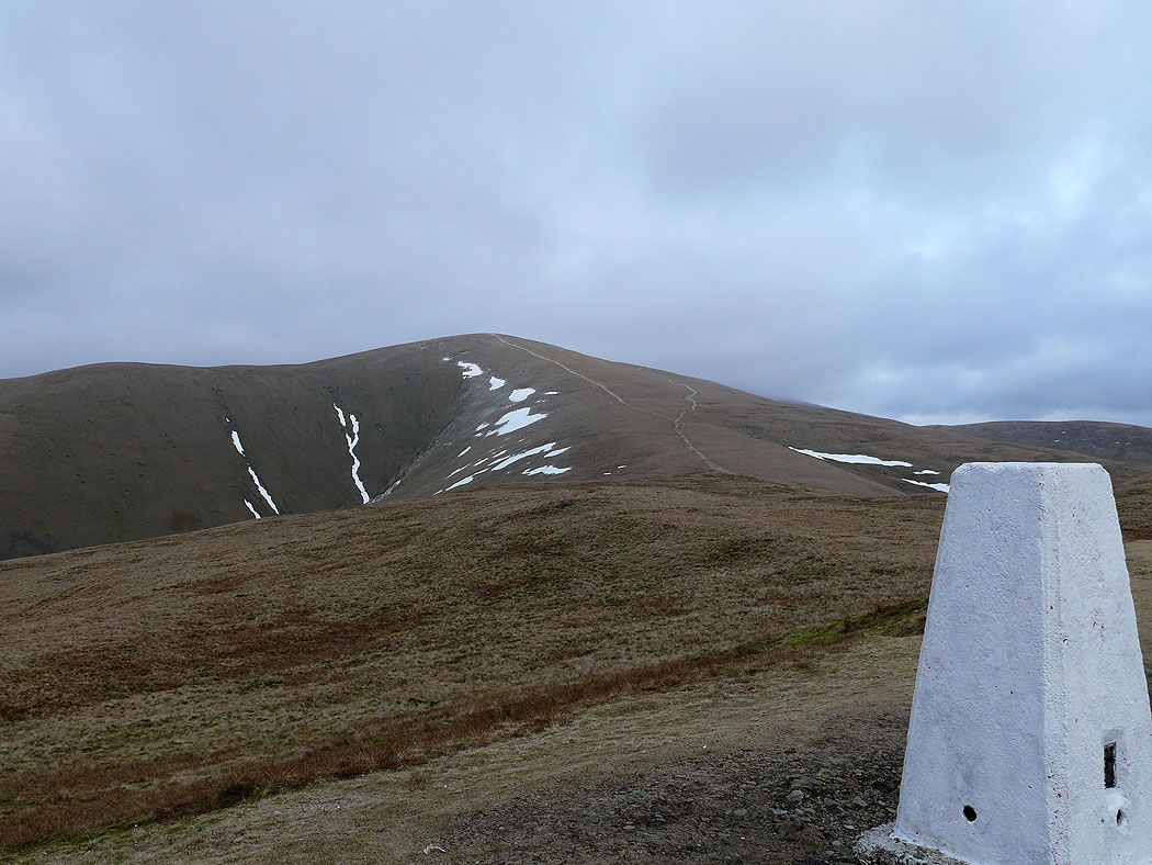
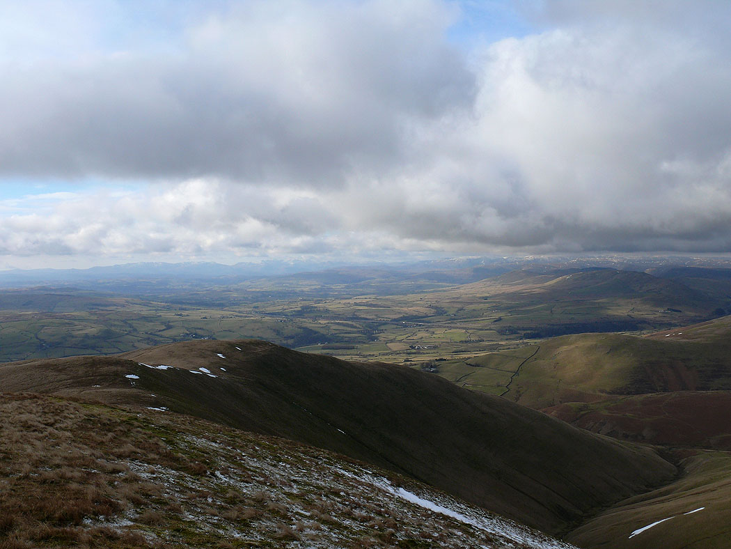
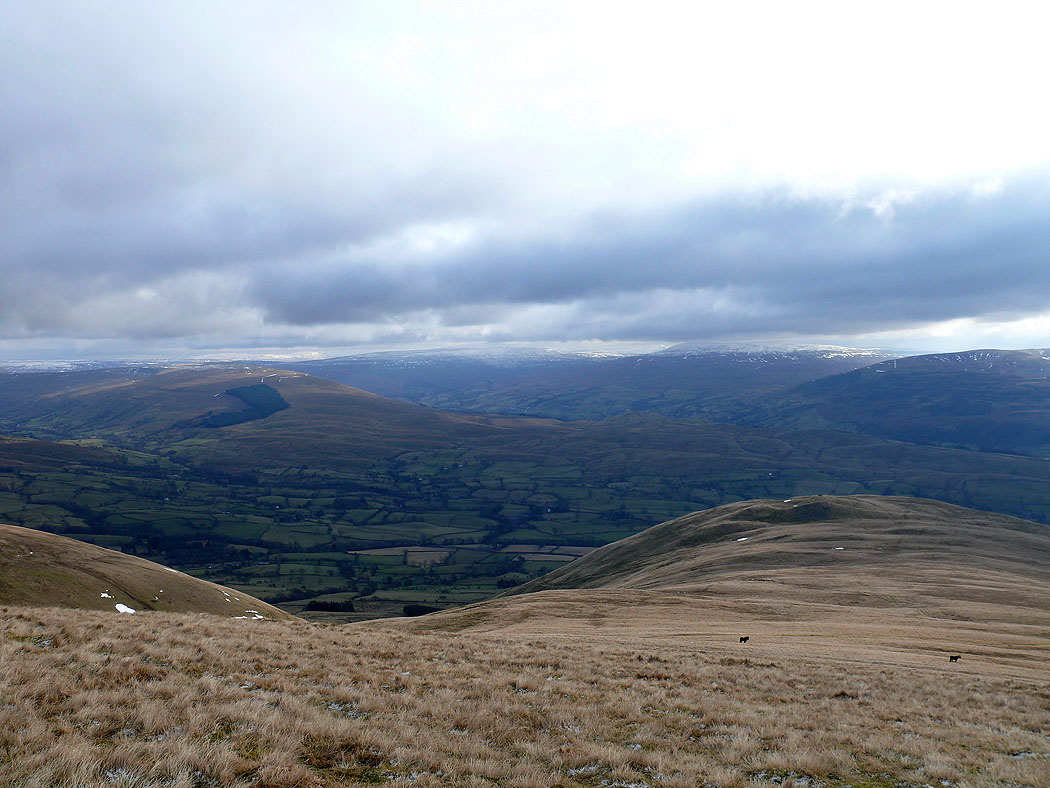
The way ahead. Arant Haw from Winder.
Sedbergh below from Winder
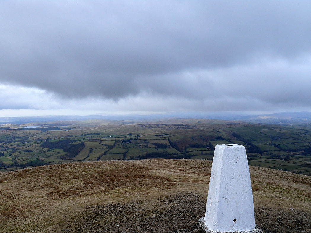
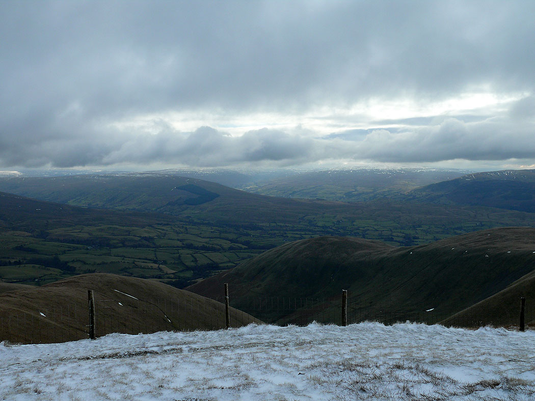
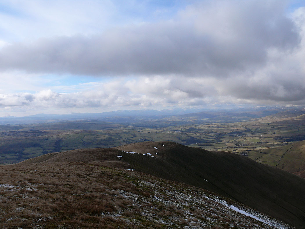
Looking towards Morecambe Bay from Winder
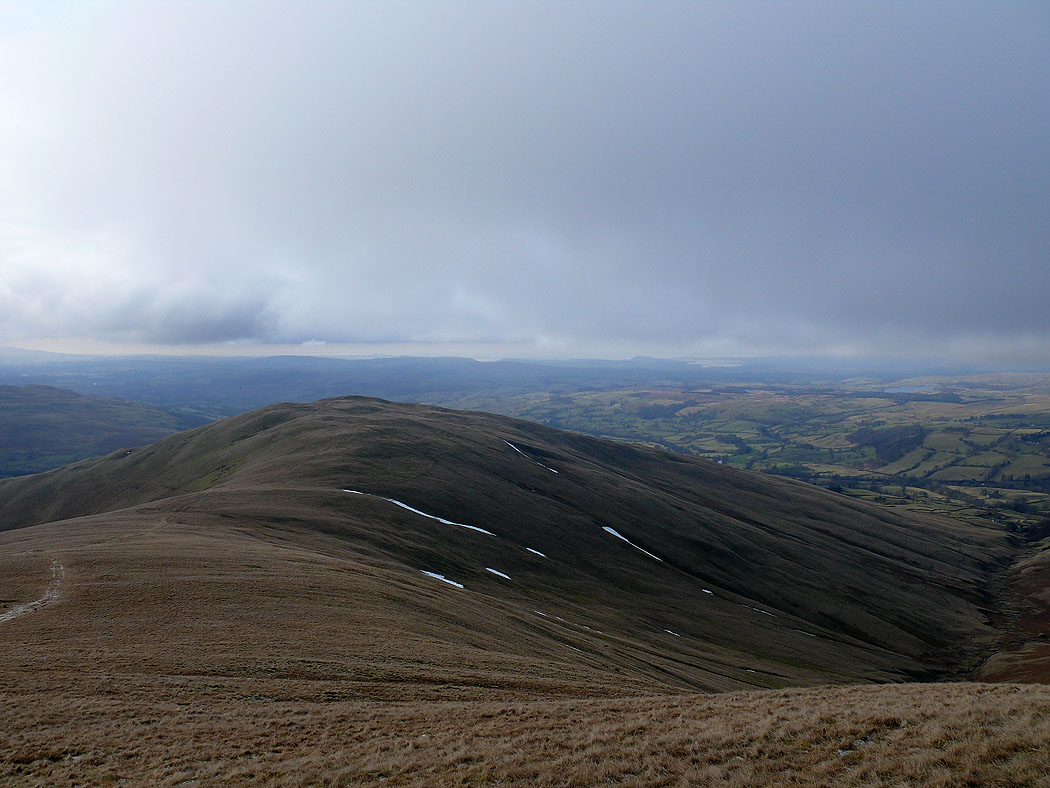
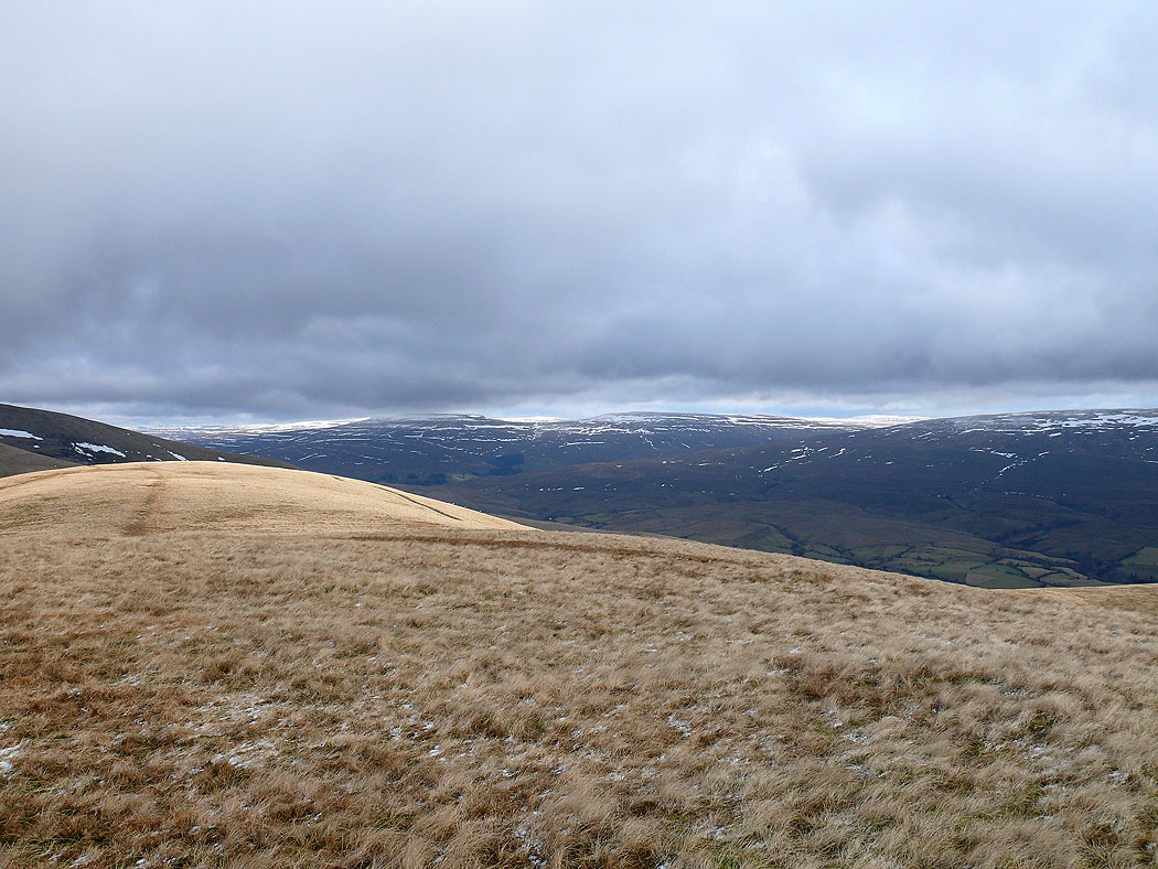
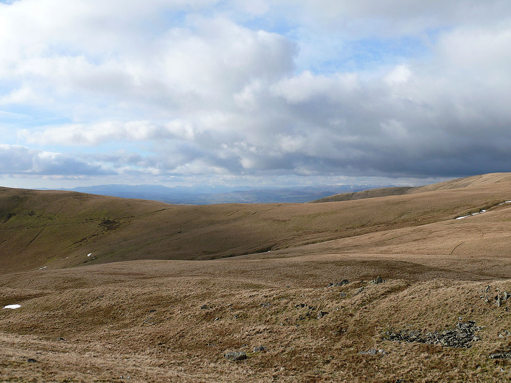
On the way up Arant Haw from Winder. This was the last picture I took before I was on The Calf as the cloud came down.
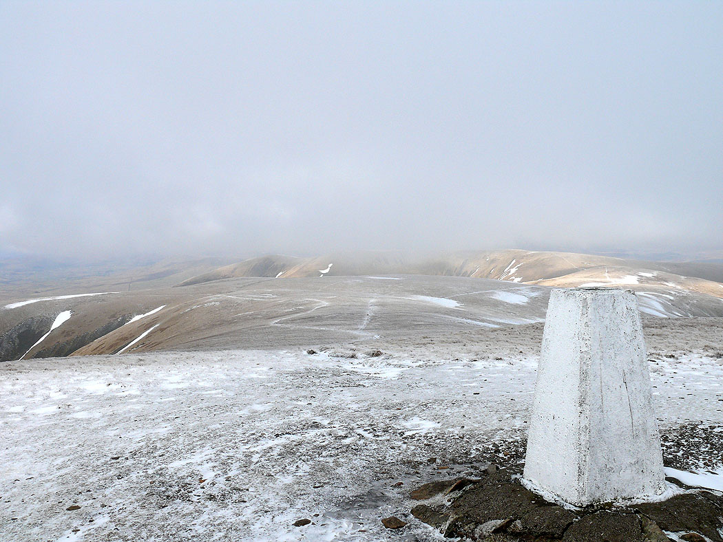
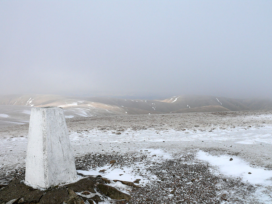
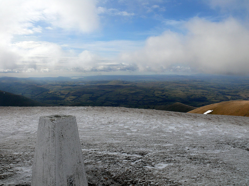
On The Calf..
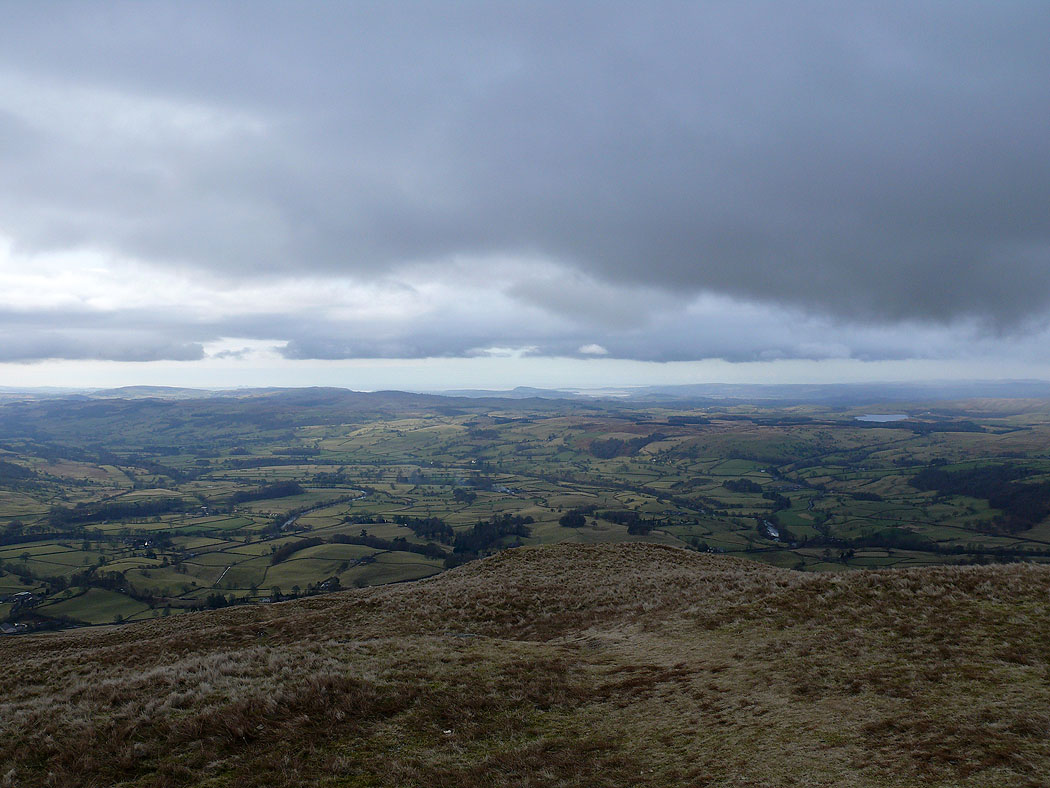
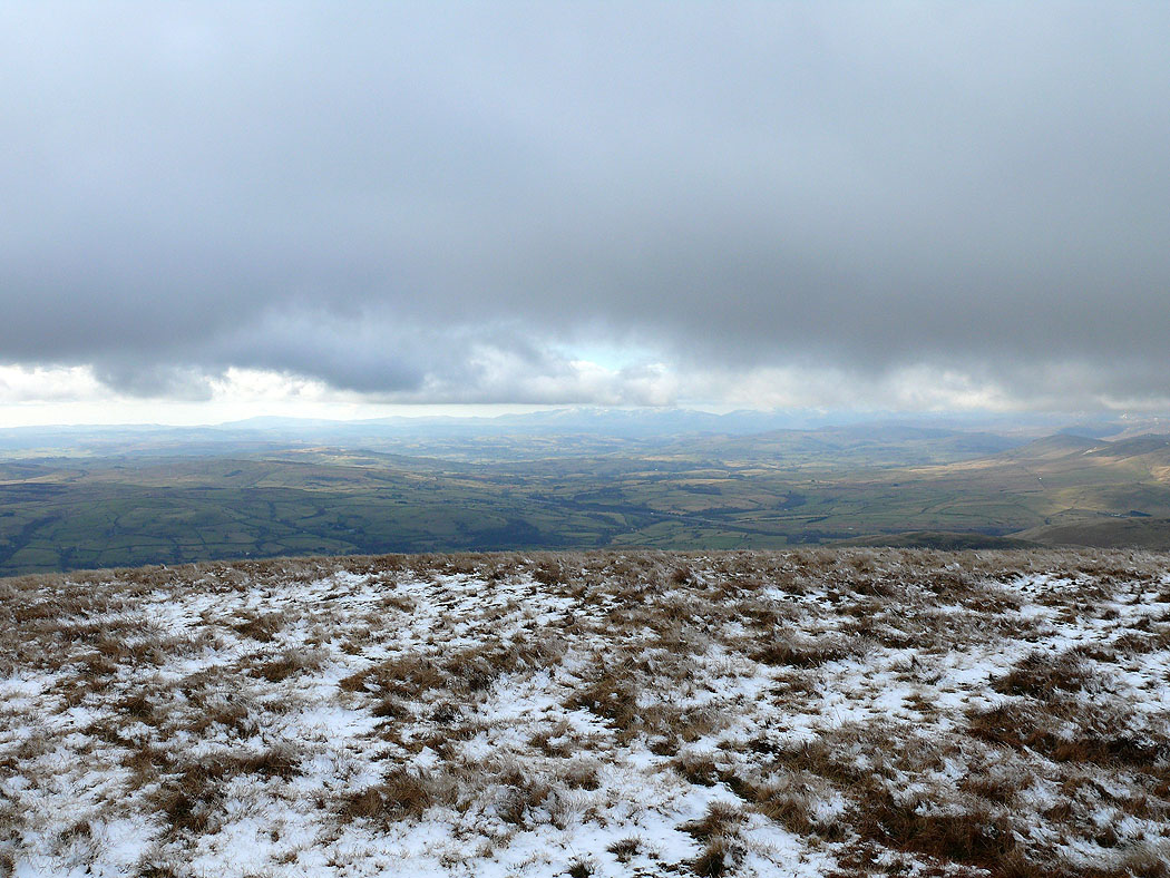
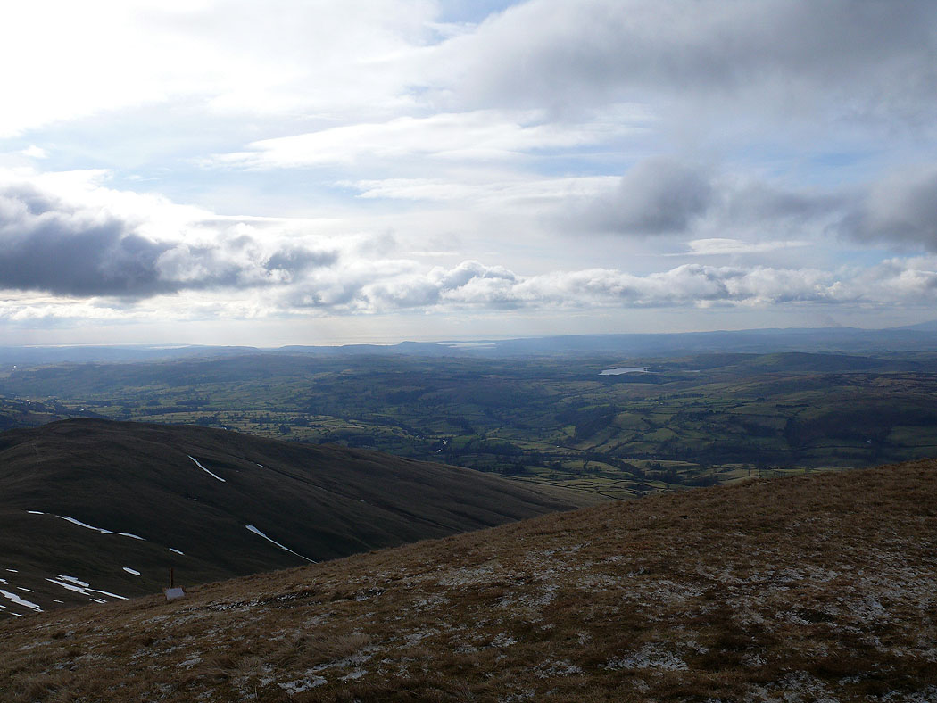
Morecambe Bay in the distance from The Calf
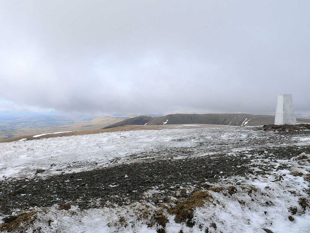
The Calf
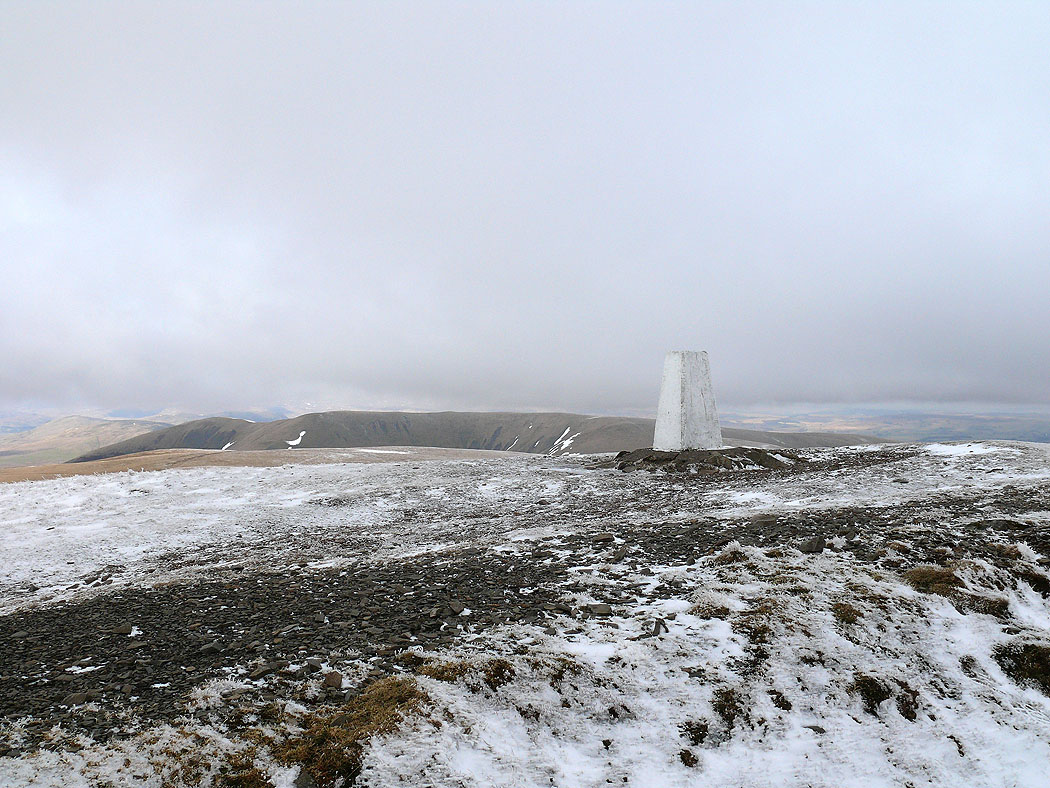
The Calf with Fell Head behind
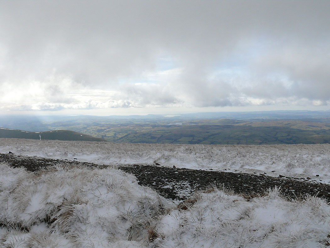
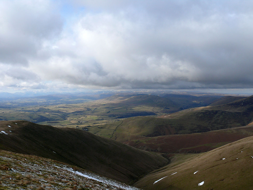
Morecambe Bay in the distance on the descent to Calders
The view from Calders. Arant Haw in the foreground on the right with Middleton Fell in the background.
The view southeast from Calders. The Rawthey valley runs away to the left. Garsdale and Dentdale to the left and right in the background.
The view west towards the Lake District from Calders
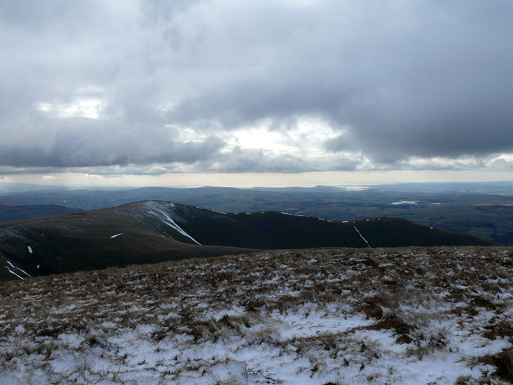
Morecambe Bay and Arant Haw from Calders
Looking towards the Lake District fells in the distance on the way to Arant Haw....
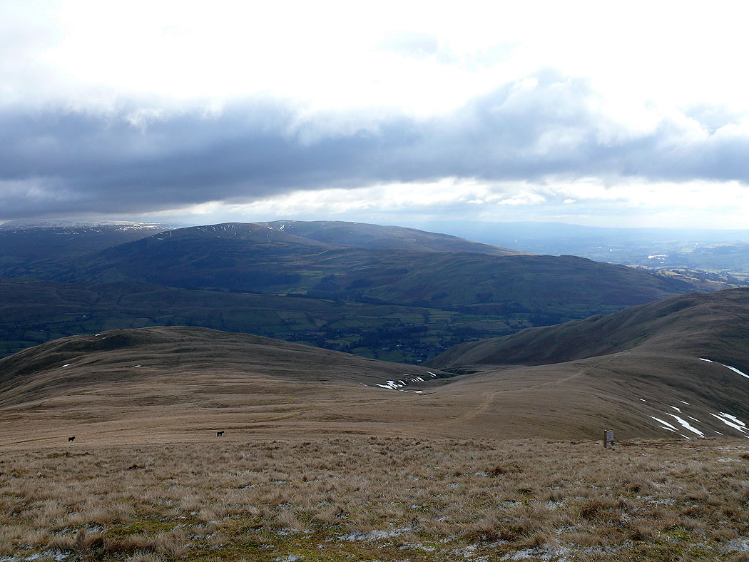
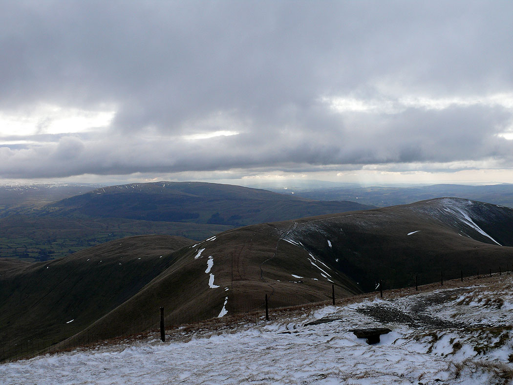
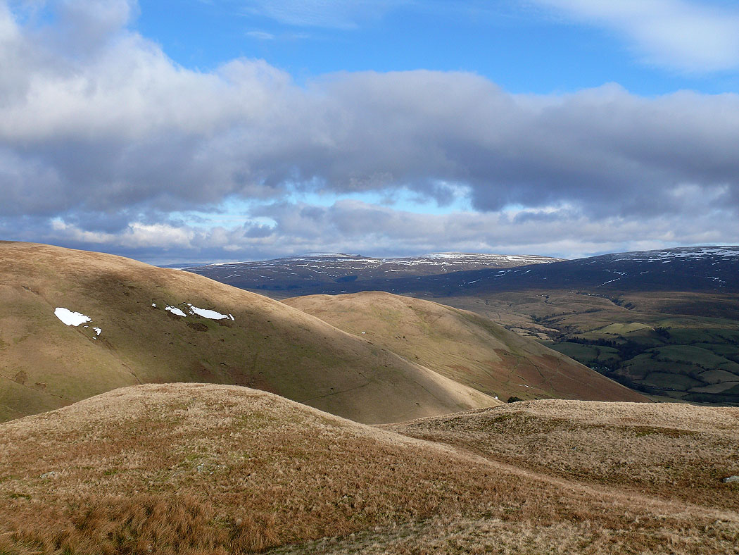
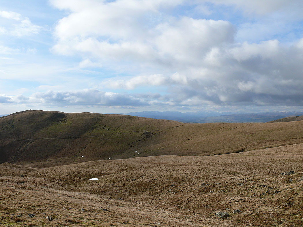
Descending Arant Haw. I headed for Crook, the hill on the left.
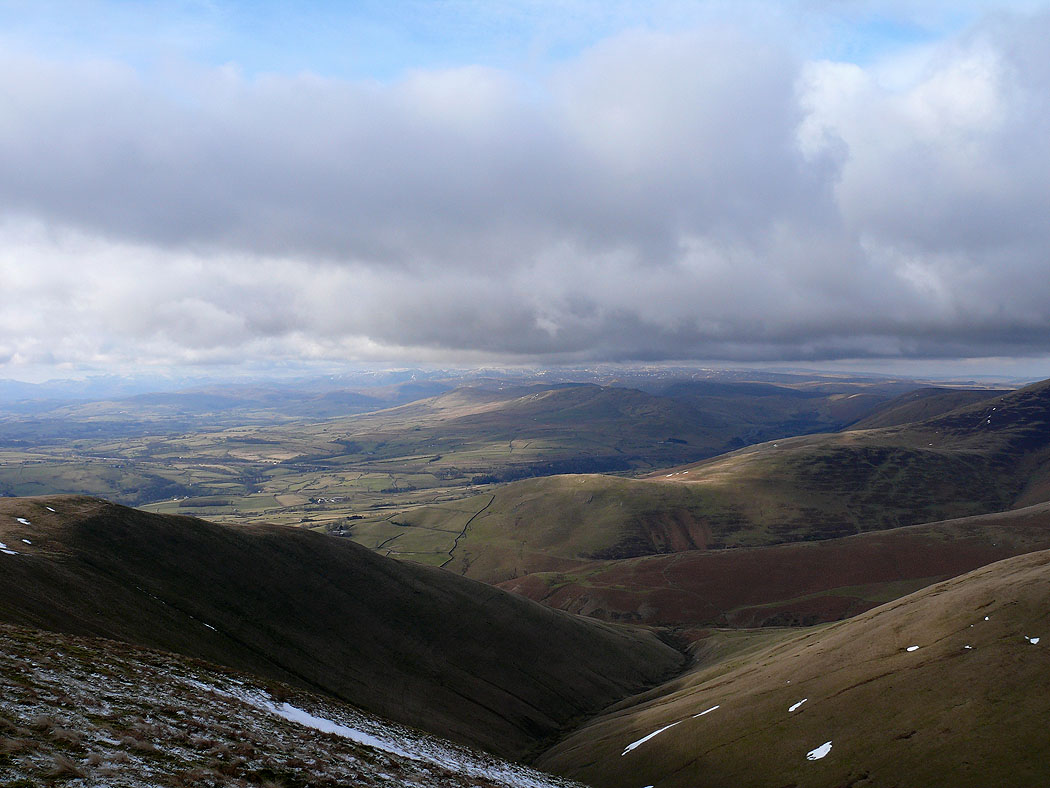
Descending towards Crook
Wild Boar Fell in the distance
Morecambe Bay
The view from Crook. Sickers Fell and Knott. Wild Boar Fell and Baugh Fell behind.
The Lake District fells in the distance from Crook
Winder from Crook. The route back to Sedbergh follows the path running down across the side of Winder.