13th February 2021 - To Kelbrook Moor and Knarrs Hill and back
Walk Details
Distance walked: 10.8 miles
Total ascent: 1605 ft ascent
OS map used: OL21 - South Pennines
Time taken: 5.5 hrs
Route description: Foulridge-Skipton Old Road-Noyna Road-Noyna Hill-Cob Lane-Kelbrook Wood-Harwes Farm-Piked Edge-Burnt Hill-Hawshaw Road-Tom Lane-Stone Head Lane-Hill End Lane-Sandyforth Lane-Knarr End Farm-Pennine Bridleway-Knarrs Hill-Pennine Bridleway-Warley Wise Lane-Black Lane Ends-Piked Edge-Harwes Farm-Great Edge-Cob Lane-Noyna Hill-Skipton Old Road-Foulridge
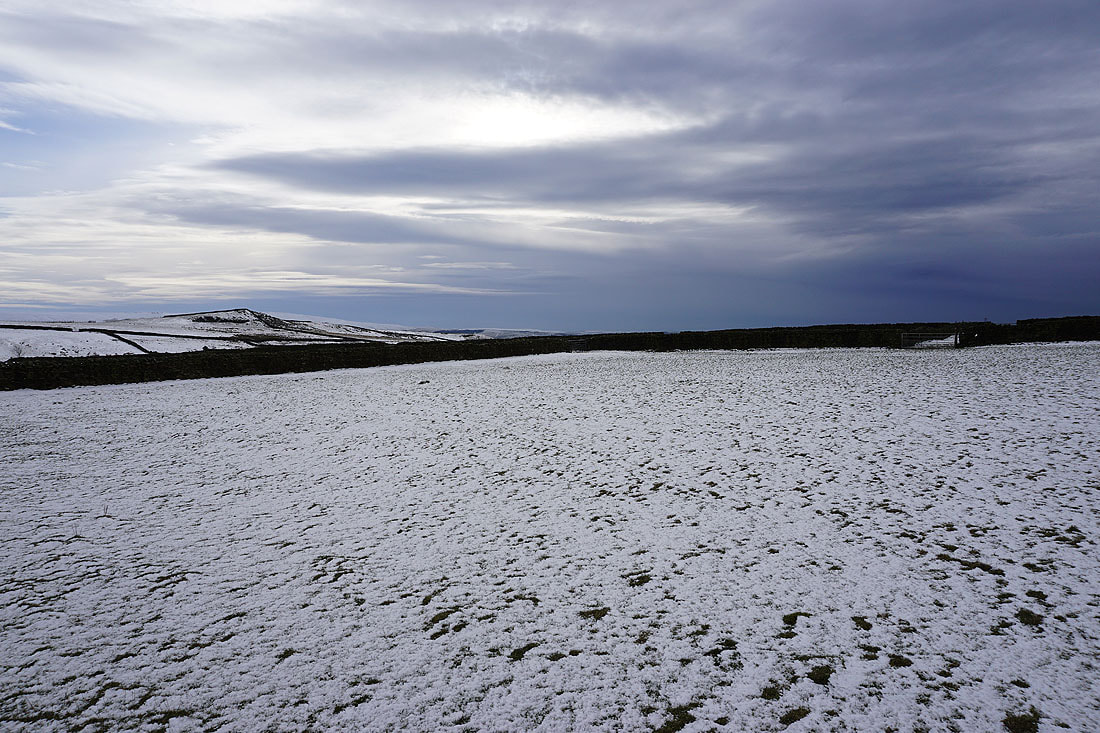
The bitterly cold winter weather that was forecast to last through the week did. Some parts of the country had a lot of snow, but in my neck of the woods there wasn't that much, it being relatively sheltered from the snow carrying easterly winds. The snow that had fallen was dry and powdery, and had drifted, leaving patches of bare ground, which was frozen solid everywhere. There were no issues with mud and boggy ground today. The cold snap is due to end tomorrow and there was already quite a bit of cloud in the sky from the approaching change. After a little bit of sunshine through the morning and into the early afternoon it clouded over and the skies became quite dark and threatening as I headed back home. One constant was the strong and bitterly cold wind. It was a day for wrapping up warm.
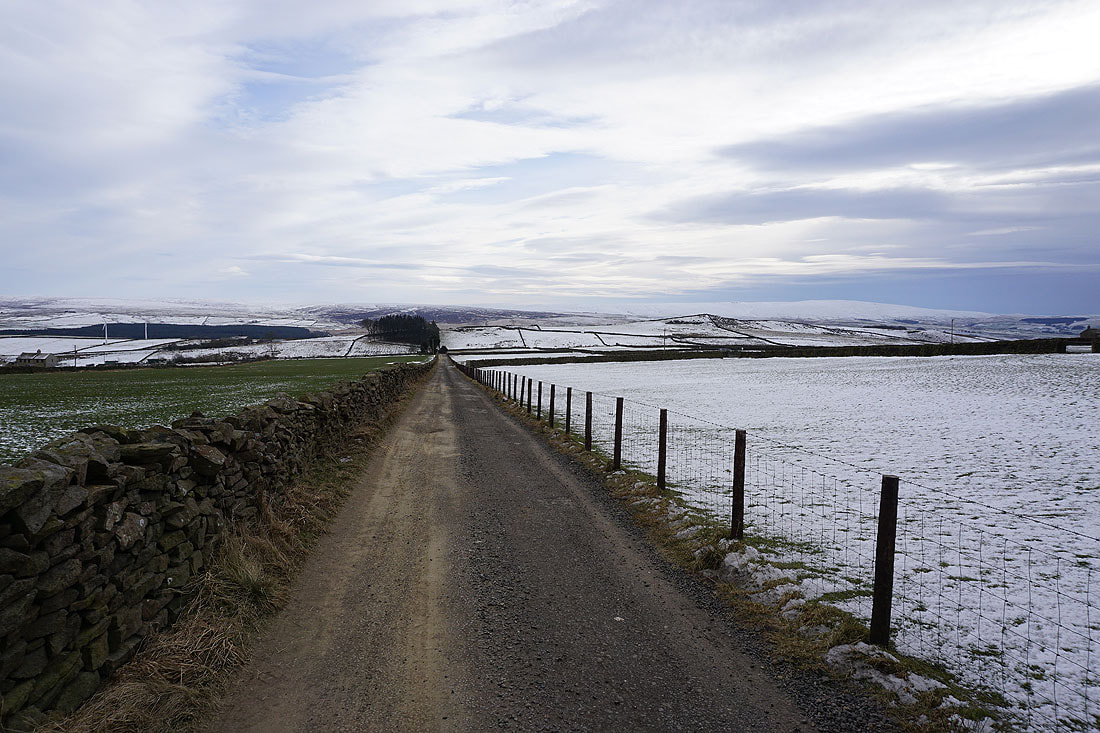
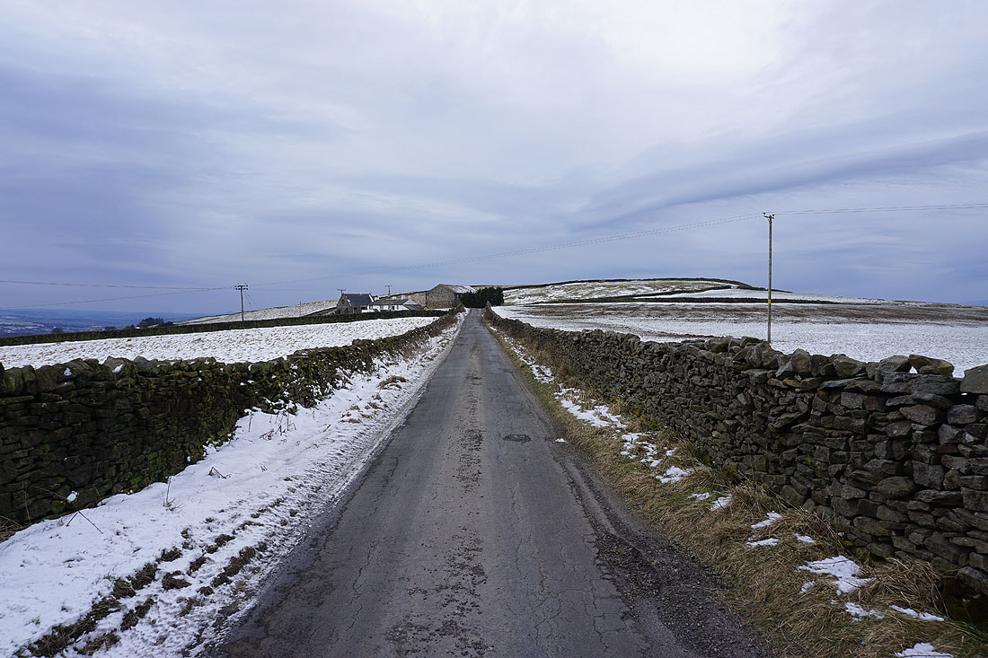
From where I live in Foulridge I made my way up to the A56, crossed it and walked up to Skipton Old Road and to the bottom of Noyna Road, where I took a footpath up onto Noyna Hill. I then followed the path across the top of Noyna Hill and down to Cob Lane. After a short walk north along Cob Lane I took the track on the right to Kelbrook Lodge and Great Edge Farm, before taking the footpath east through Kelbrook Wood and across fields to reach Harwes Farm. I then followed the public footpath from Harwes Farm to Piked Edge, the path north and the Pennine Bridleway to Burnt Hill, and then the track on Burnt Hill east to reach Skipton Old Road. After a brief walk north along Skipton Old Road I took Hawshaw Road on the right and followed this east before heading south down Tom Lane. When I reached a crossroads I stopped at a conveniently placed bench and had my lunch (not quite on the bench, the nearby wall was more sheltered). I then walked south from the crossroads along Stone Head Lane, then up Hill End Lane and Sandyforth Lane to reach the Mosside Kennels & Cattery, where I carried on west and then north along a track to Sedgemoor House. I took the public footpath from here to Knarr End Farm and then up to the Pennine Bridleway. After a there and back visit to the trig point on Knarrs Hill I followed the Pennine Bridleway north to Warley Wise Lane. I then walked west along Warley Wise Lane to Black Lane Ends and Black Lane Ends Tavern. I took the public footpath through the pub car park and up onto the hill of Piked Edge and then across fields to Harwes Farm, where I took the footpath southwest onto Great Edge. I then followed the path west down Great Edge and across Moss Houses Beck and up to Cob Lane, where I took the footpath from Noyna End Farm up onto Noyna Hill, and then the path west across its top and down to Skipton Old Road was followed. A short walk back to my home in Foulridge was left.
Total ascent: 1605 ft ascent
OS map used: OL21 - South Pennines
Time taken: 5.5 hrs
Route description: Foulridge-Skipton Old Road-Noyna Road-Noyna Hill-Cob Lane-Kelbrook Wood-Harwes Farm-Piked Edge-Burnt Hill-Hawshaw Road-Tom Lane-Stone Head Lane-Hill End Lane-Sandyforth Lane-Knarr End Farm-Pennine Bridleway-Knarrs Hill-Pennine Bridleway-Warley Wise Lane-Black Lane Ends-Piked Edge-Harwes Farm-Great Edge-Cob Lane-Noyna Hill-Skipton Old Road-Foulridge
The bitterly cold winter weather that was forecast to last through the week did. Some parts of the country had a lot of snow, but in my neck of the woods there wasn't that much, it being relatively sheltered from the snow carrying easterly winds. The snow that had fallen was dry and powdery, and had drifted, leaving patches of bare ground, which was frozen solid everywhere. There were no issues with mud and boggy ground today. The cold snap is due to end tomorrow and there was already quite a bit of cloud in the sky from the approaching change. After a little bit of sunshine through the morning and into the early afternoon it clouded over and the skies became quite dark and threatening as I headed back home. One constant was the strong and bitterly cold wind. It was a day for wrapping up warm.
From where I live in Foulridge I made my way up to the A56, crossed it and walked up to Skipton Old Road and to the bottom of Noyna Road, where I took a footpath up onto Noyna Hill. I then followed the path across the top of Noyna Hill and down to Cob Lane. After a short walk north along Cob Lane I took the track on the right to Kelbrook Lodge and Great Edge Farm, before taking the footpath east through Kelbrook Wood and across fields to reach Harwes Farm. I then followed the public footpath from Harwes Farm to Piked Edge, the path north and the Pennine Bridleway to Burnt Hill, and then the track on Burnt Hill east to reach Skipton Old Road. After a brief walk north along Skipton Old Road I took Hawshaw Road on the right and followed this east before heading south down Tom Lane. When I reached a crossroads I stopped at a conveniently placed bench and had my lunch (not quite on the bench, the nearby wall was more sheltered). I then walked south from the crossroads along Stone Head Lane, then up Hill End Lane and Sandyforth Lane to reach the Mosside Kennels & Cattery, where I carried on west and then north along a track to Sedgemoor House. I took the public footpath from here to Knarr End Farm and then up to the Pennine Bridleway. After a there and back visit to the trig point on Knarrs Hill I followed the Pennine Bridleway north to Warley Wise Lane. I then walked west along Warley Wise Lane to Black Lane Ends and Black Lane Ends Tavern. I took the public footpath through the pub car park and up onto the hill of Piked Edge and then across fields to Harwes Farm, where I took the footpath southwest onto Great Edge. I then followed the path west down Great Edge and across Moss Houses Beck and up to Cob Lane, where I took the footpath from Noyna End Farm up onto Noyna Hill, and then the path west across its top and down to Skipton Old Road was followed. A short walk back to my home in Foulridge was left.
Route map
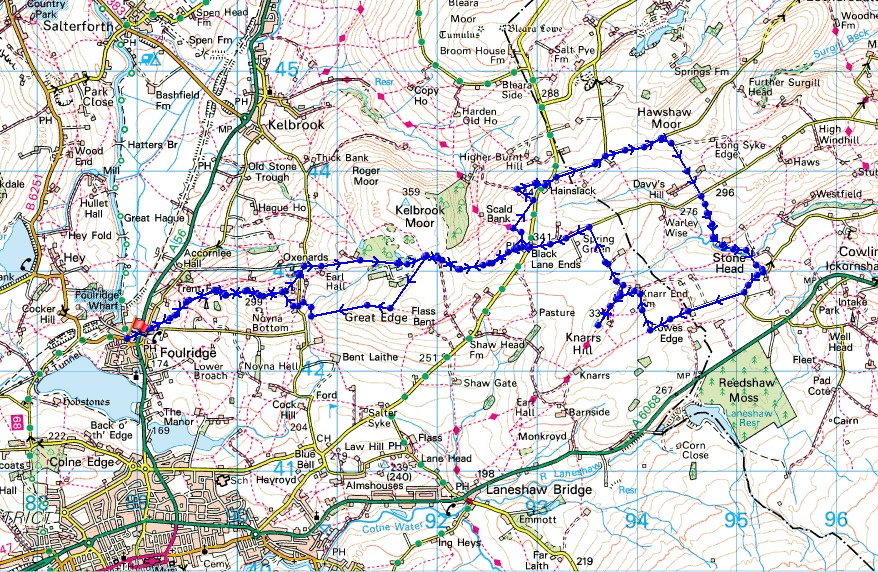
© Crown copyright. All rights reserved. License number PU 100034184.
Heading up onto Noyna Hill from Foulridge
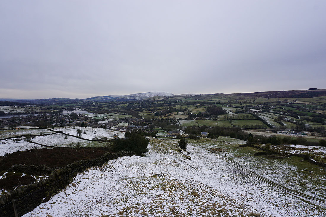
Looking back down to Foulridge from Noyna Hill with Pendle Hill in the distance..
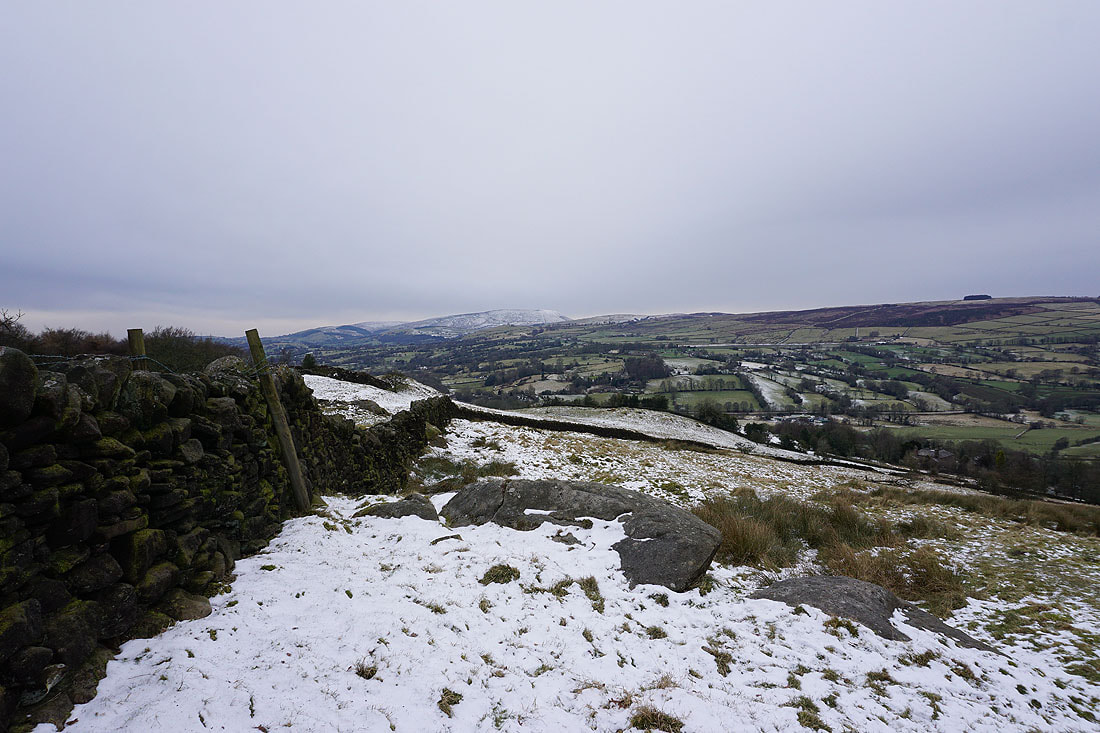
Looking south to Boulsworth Hill and the Forest of Trawden
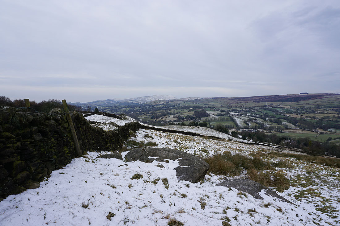
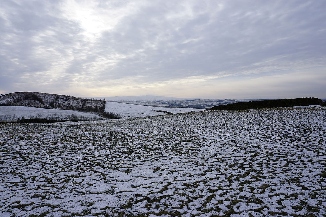
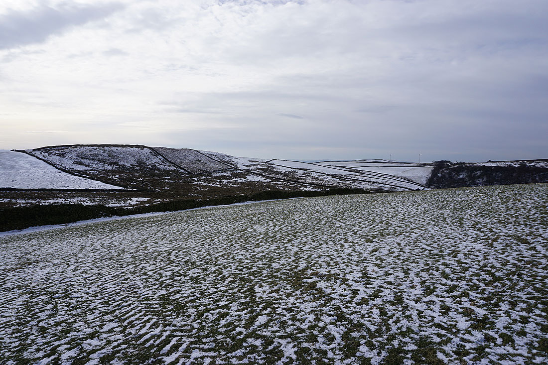
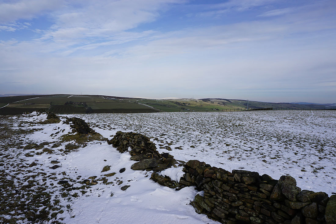
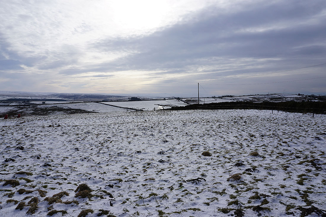
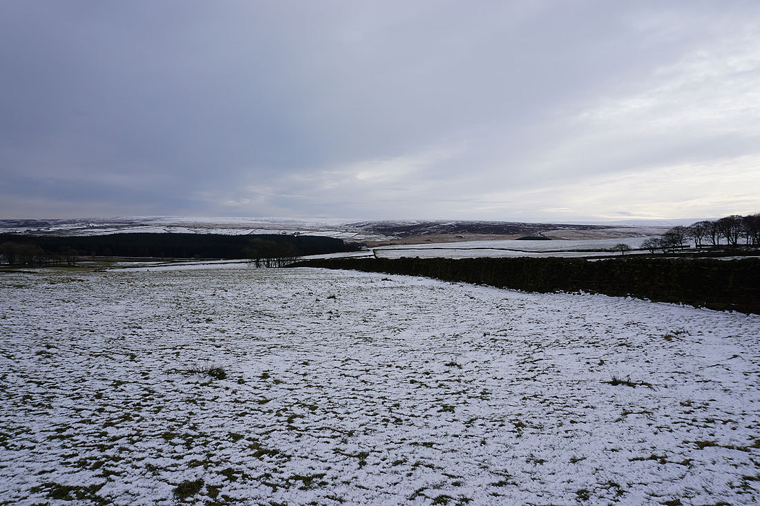
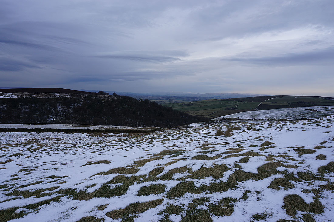
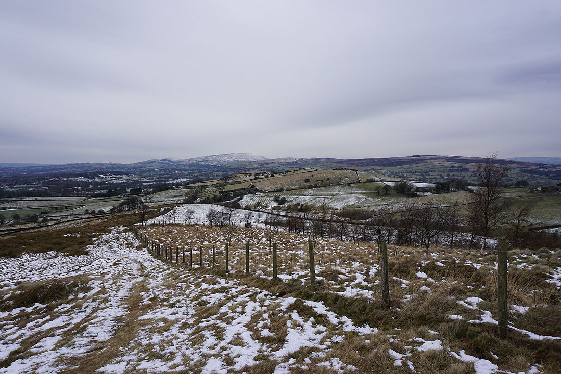
Kelbrook Moor and Great Edge to the east
Pendle Hill in the distance from the top of Noyna Hill
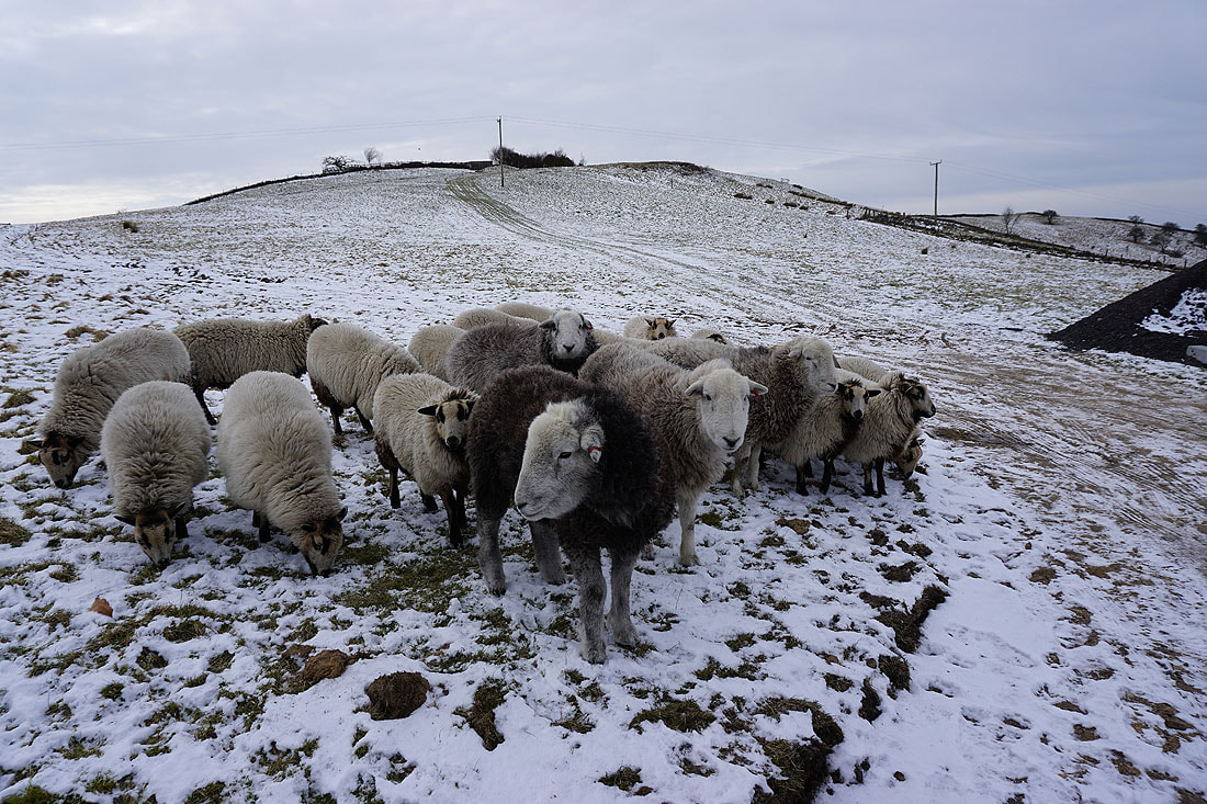
Disappointment as they realise that I haven't brought them breakfast
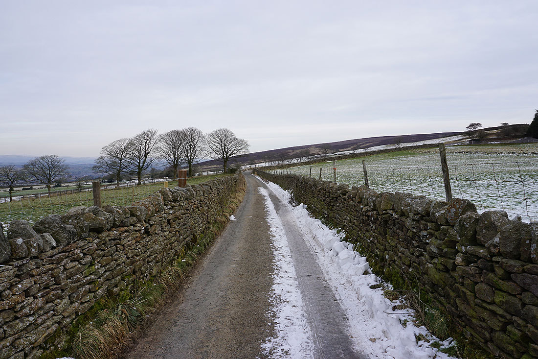
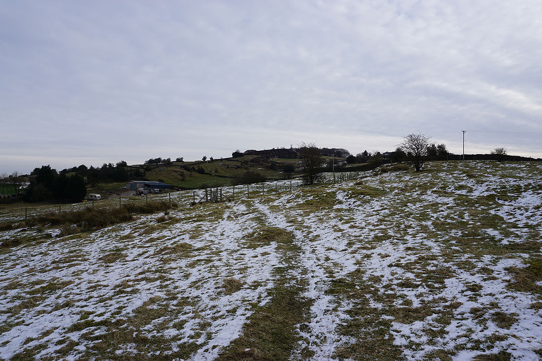
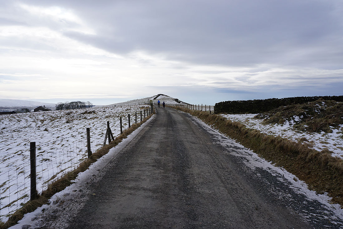
A brief walk north along Cob Lane to reach the lane up to Kelbrook Lodge
Ingleborough and the hills above Settle and Malham in the distance
Looking back to Pendle Hill in the distance with Noyna Hill on the left from the lane up to Kelbrook Lodge
Boulsworth Hill in the distance
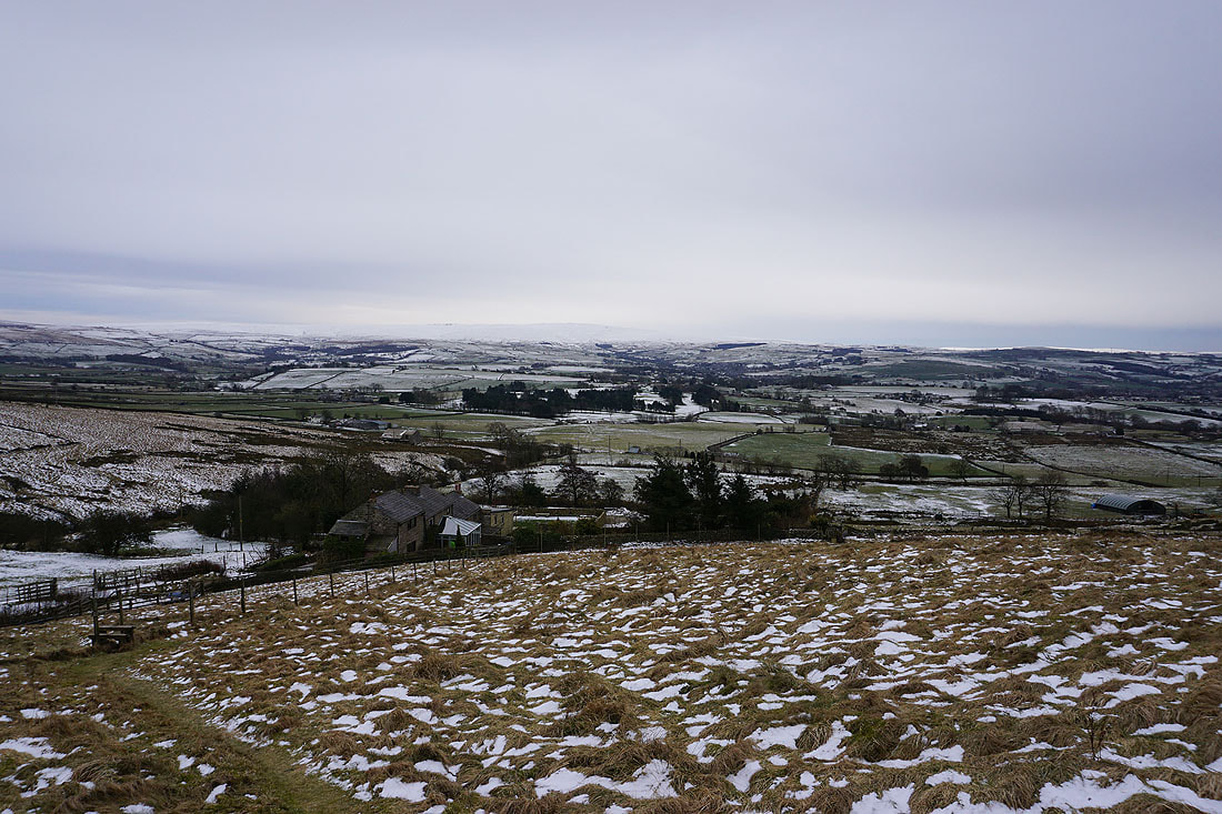
The red roofed Kelbrook Lodge is partially hidden by the trees on the left
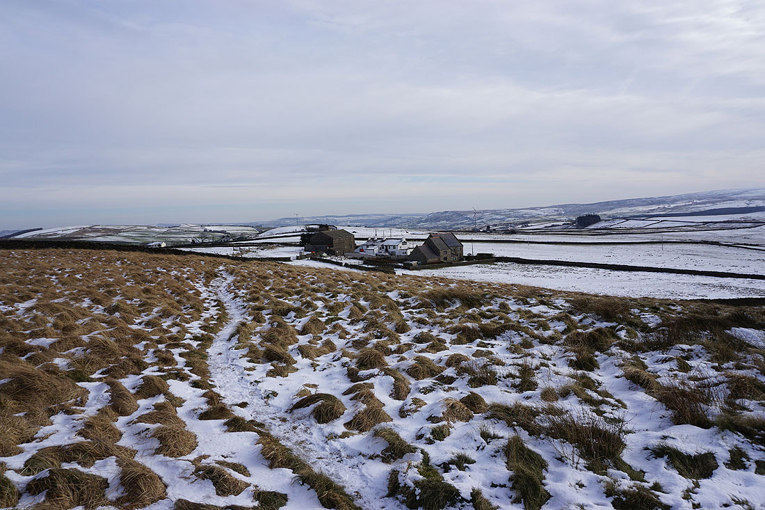
Great Edge to the south from Harwes Farm
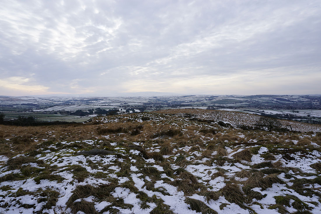
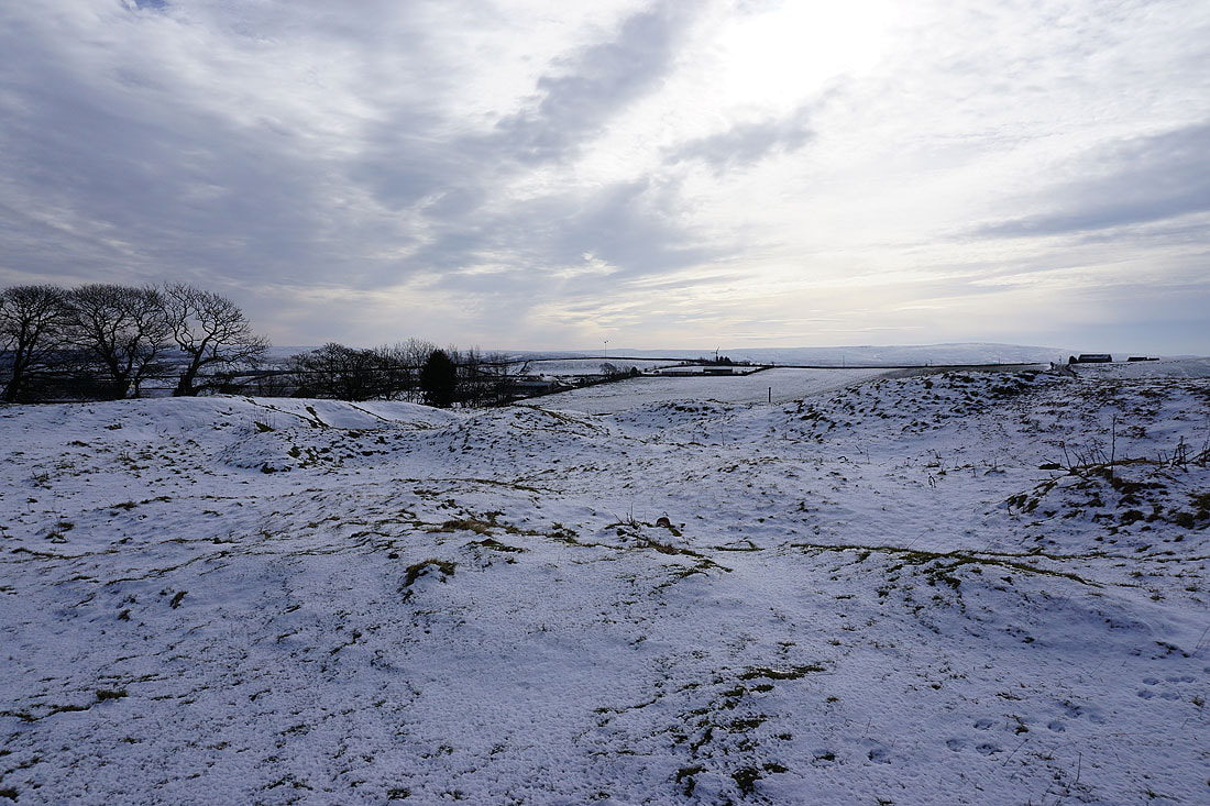
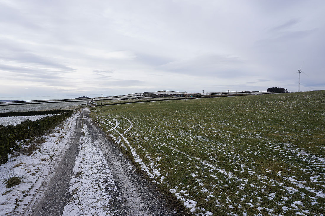
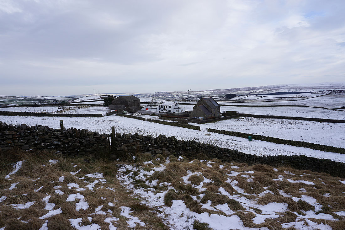
Bleak moorland scenery as I pass Harwes Farm
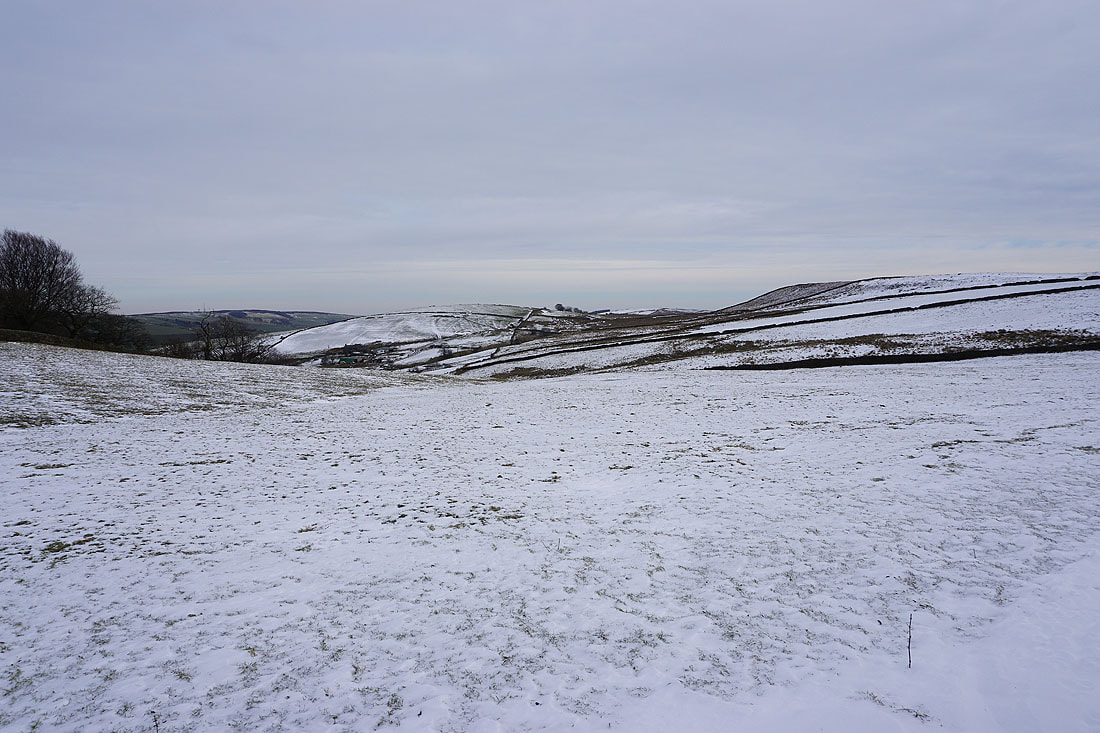
Burnt Hill and Piked Edge from Harwes Farm
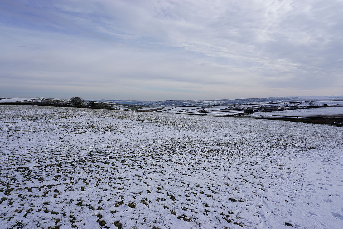
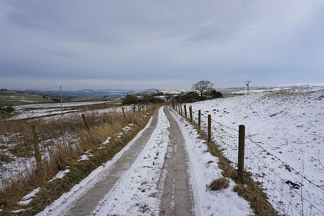
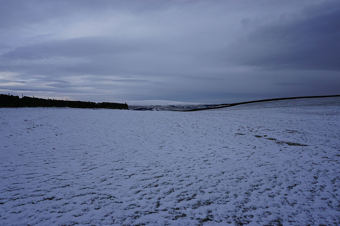
There's isn't that much snow on the ground but what there is is drifting in the strong easterly wind
A bit of sunshine brightens the scene as I look back to Harwes Farm and Kelbrook Moor from Piked Edge, with Pendle Hill in the distance on the left
Boulsworth Hill from Piked Edge
The moorland around Airedale in the distance as I head for Black Lane Ends from Piked Edge
Boulsworth Hill in the distance from Black Lane Ends
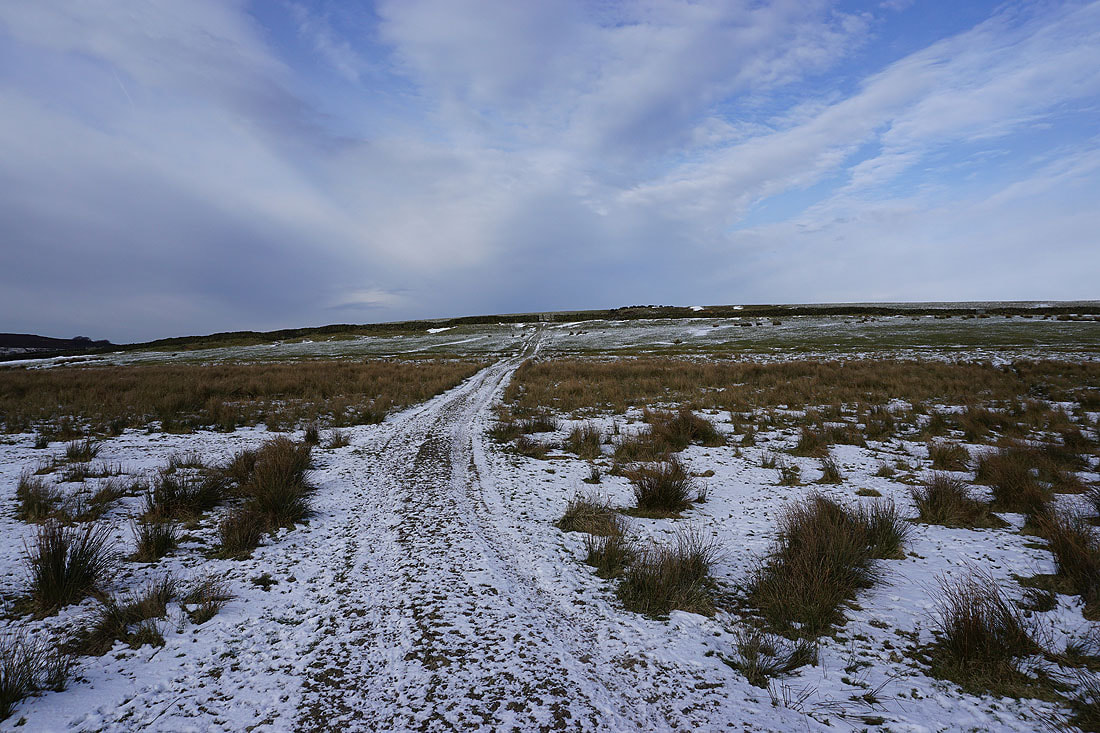
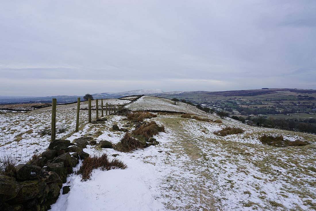
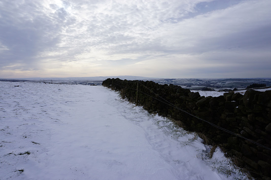
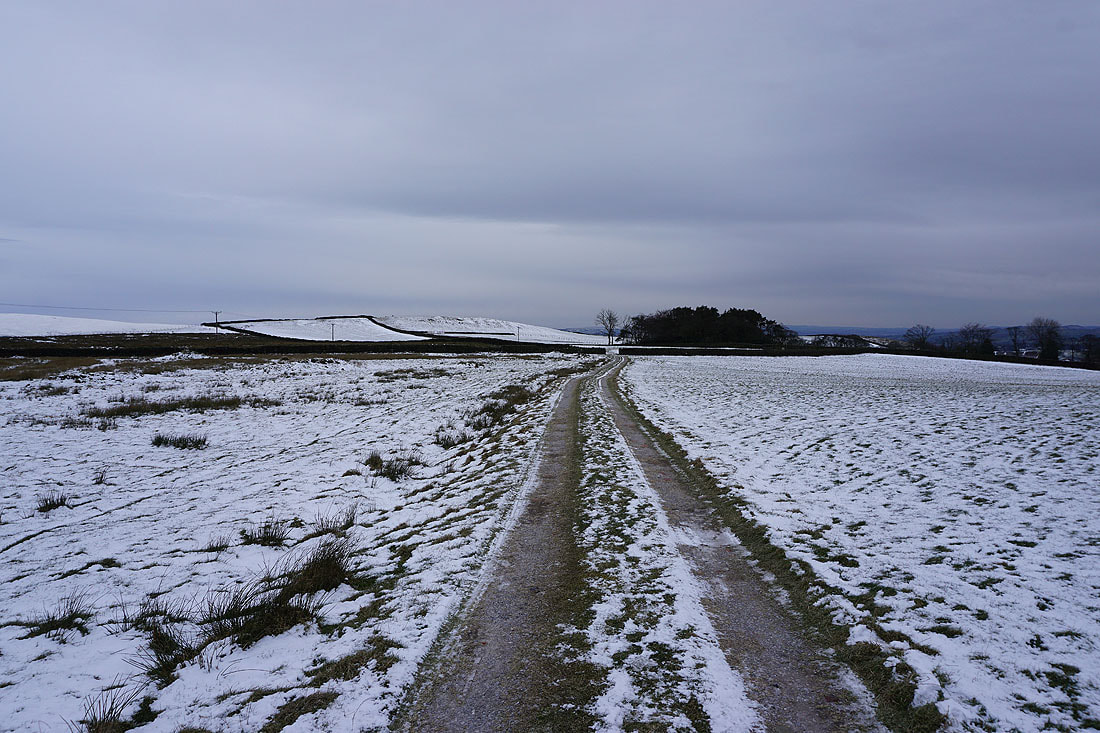
On the Pennine Bridleway up onto Burnt Hill
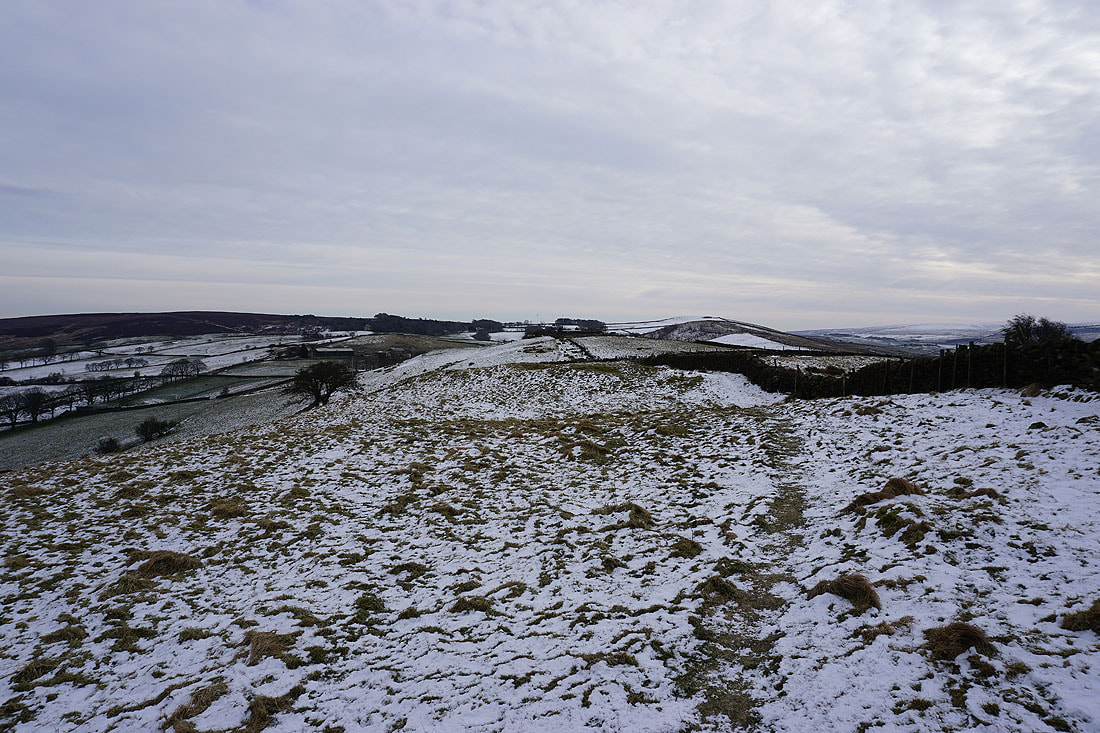
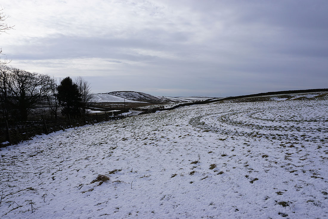
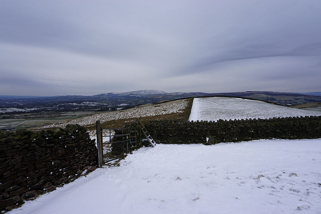
Piked Edge and Great Edge
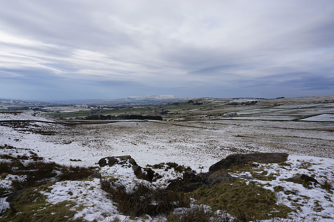
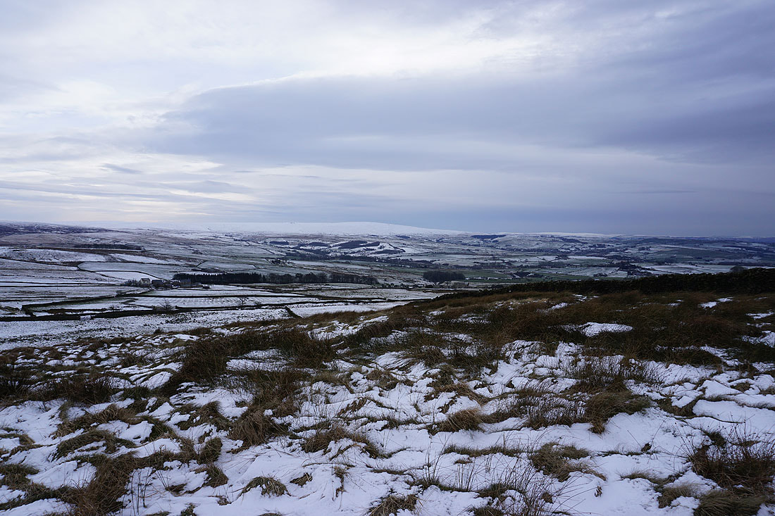
Bleara Moor and Thornton Moor to the north from Burnt Hill. I can make out a snow covered Buckden Pike and Great Whernside over their tops.
Looking east to Earl Crag and the moorland around Airedale
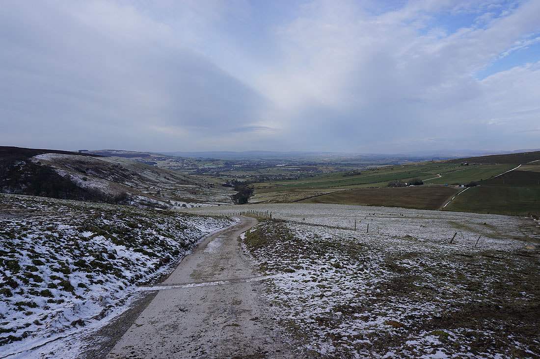
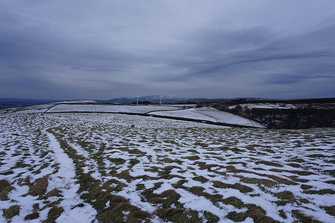
On the track at the top of Harden Clough with the hills of the Forest of Bowland in the distance
Bleara Moor to the north
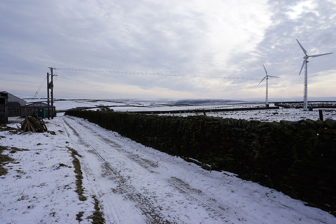
Heading east along the track on the top of Burnt Hill with Hawshaw Hill ahead
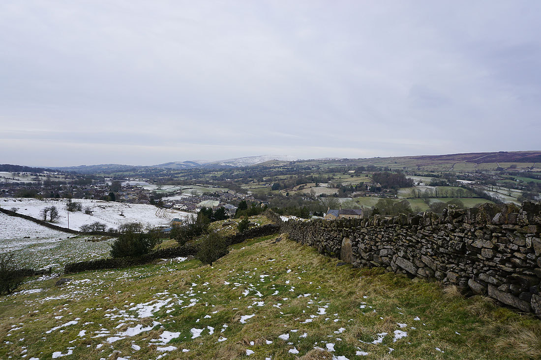
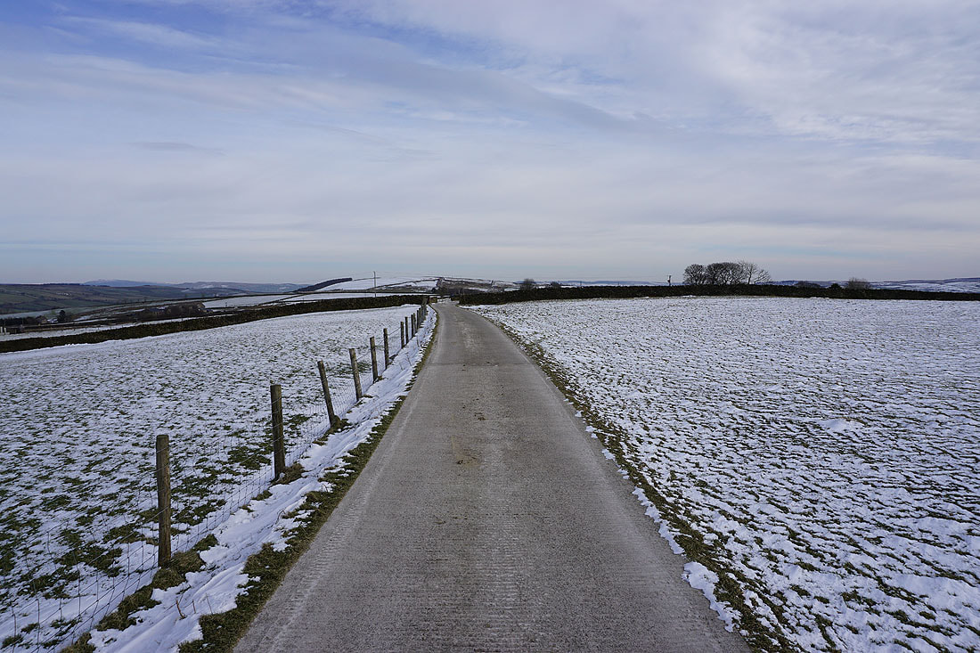
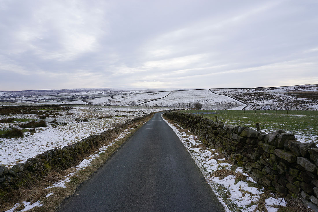
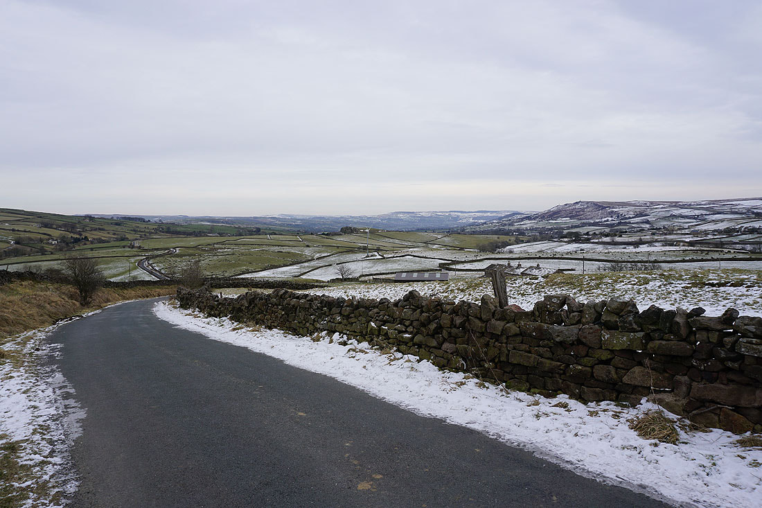
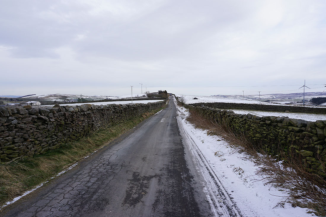
Bleak winter scenery as I reach Skipton Old Road..

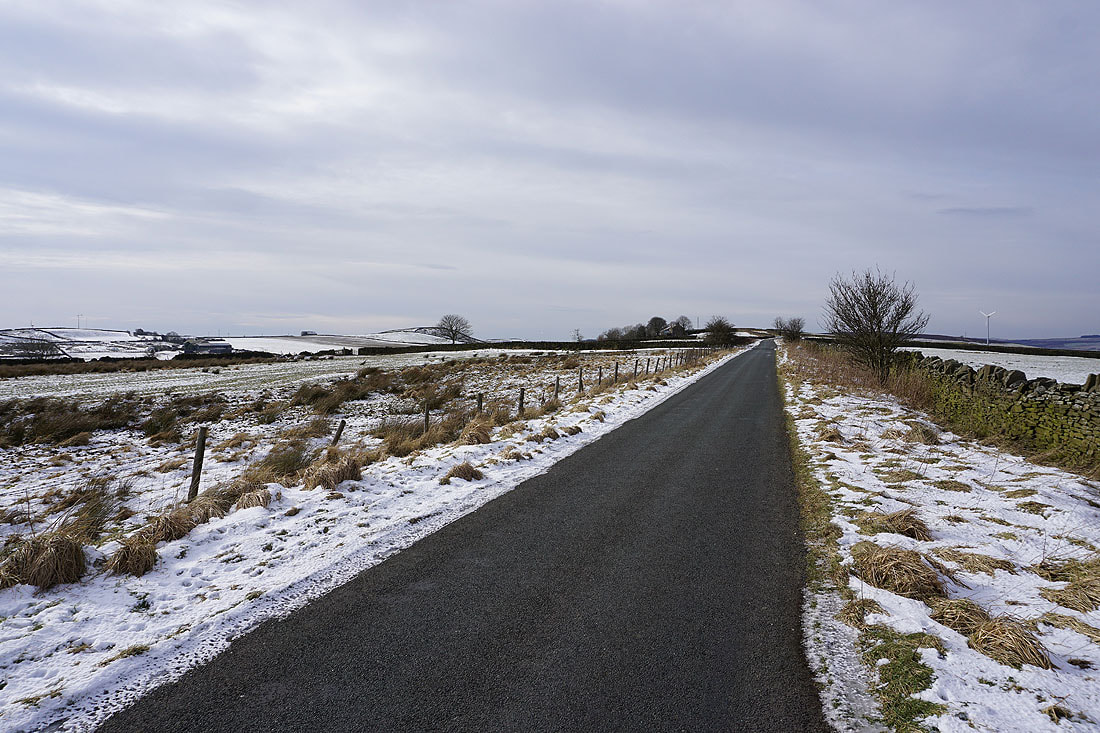
Heading east along Hawshaw Road
Looking back along Hawshaw Road
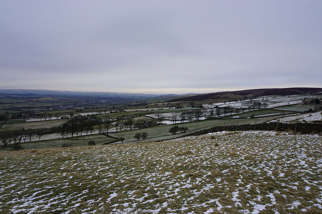
Boulsworth Hill in the distance to the south
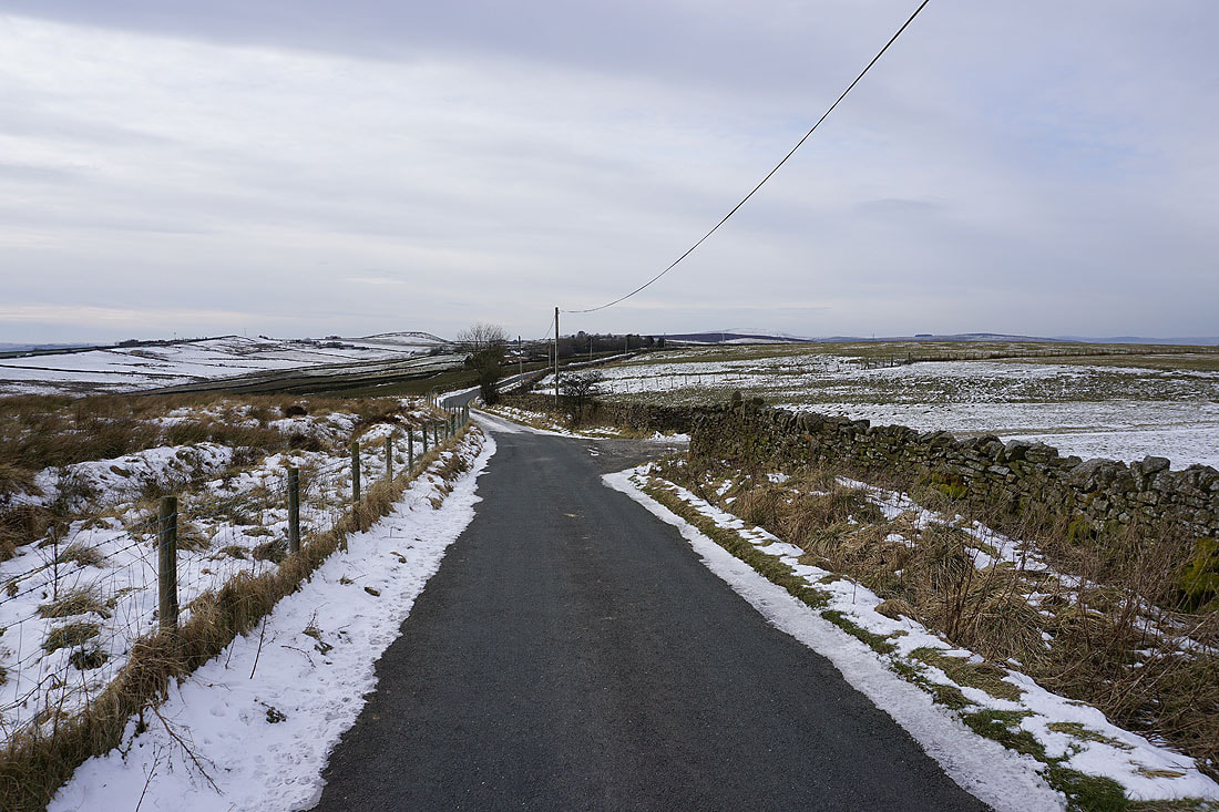
Looking back along Hawshaw Road towards Piked Edge and Kelbrook Moor as I reach the turning for Tom Lane
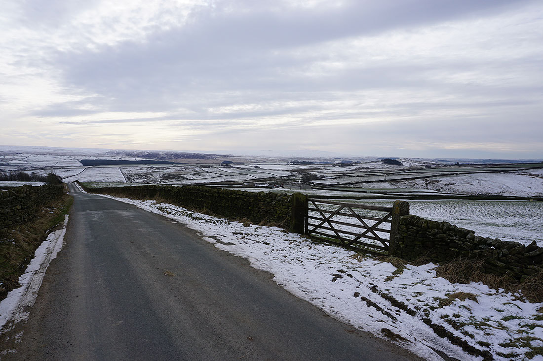
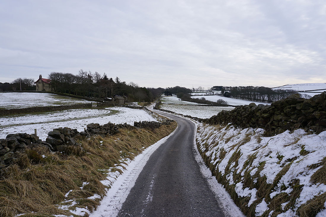
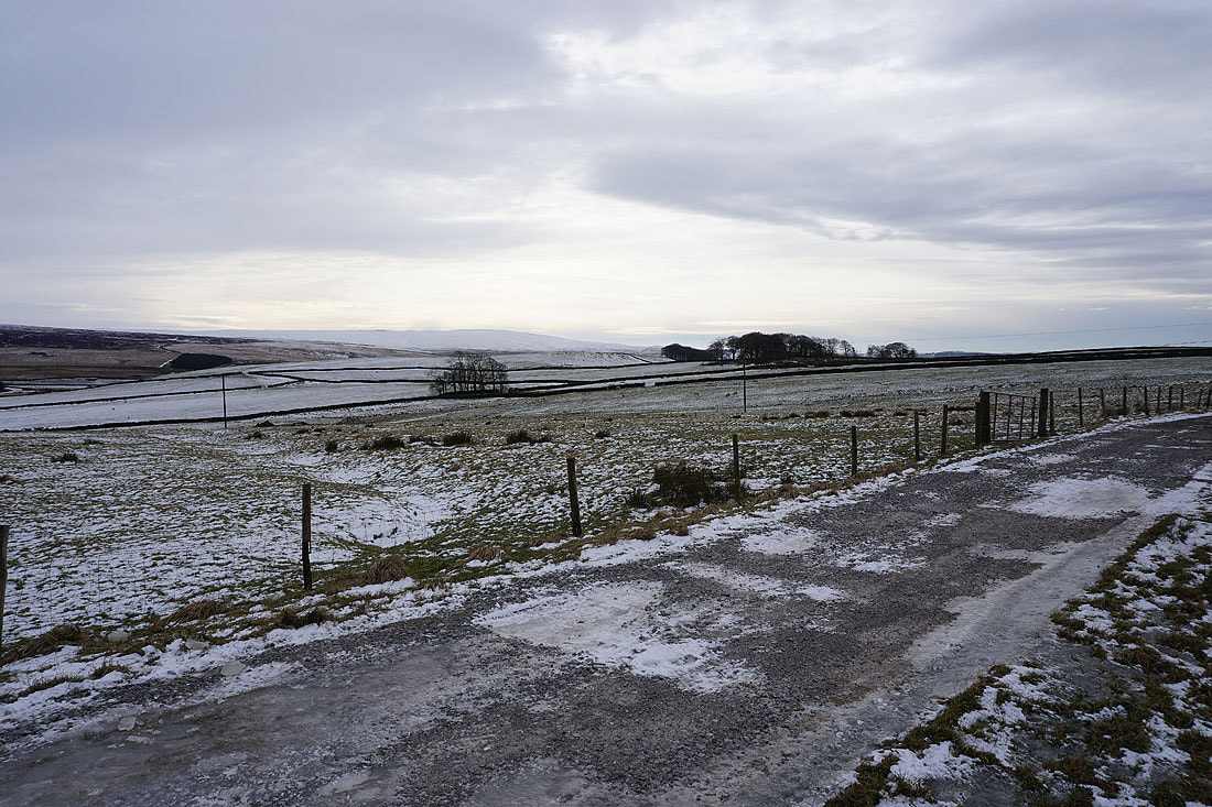
Making my way south along Tom Lane and down Stone Head Lane with Ickornshaw Moor in the distance...
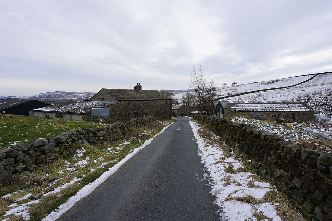
Passing through the hamlet of Stone Head..
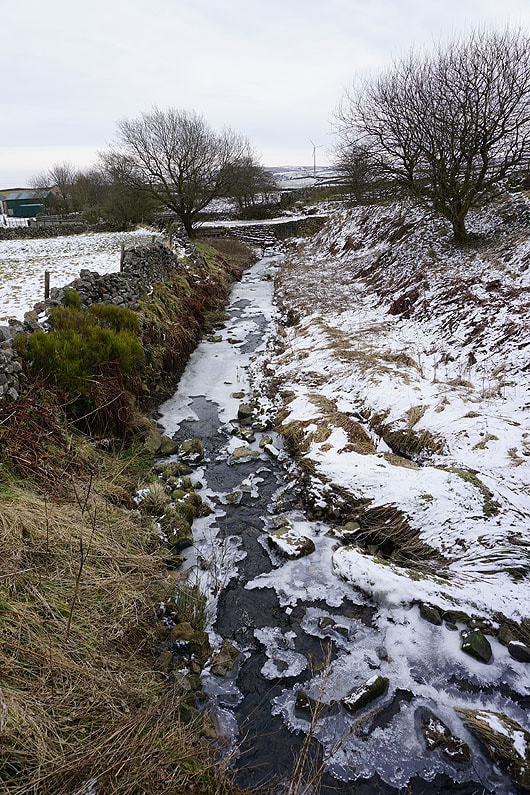
It's been cold enough for the water in Stone Head Beck to freeze
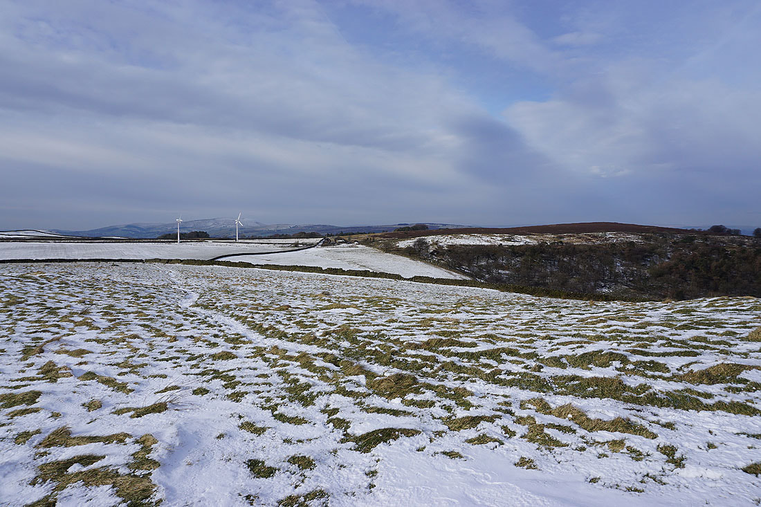
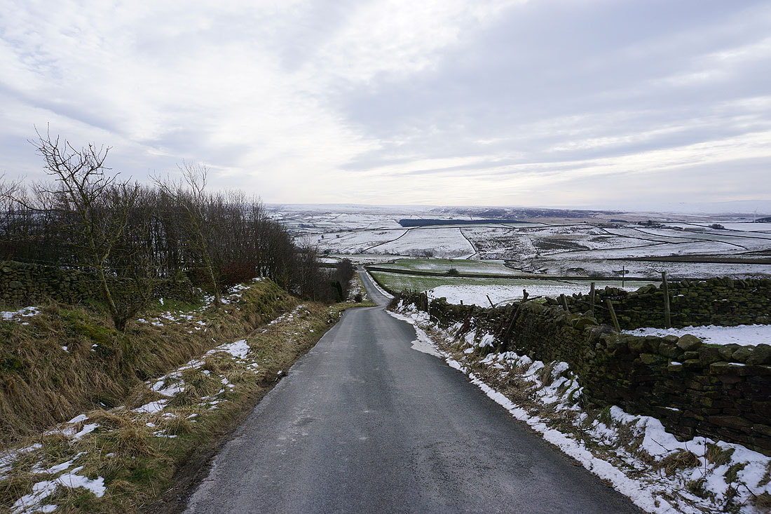
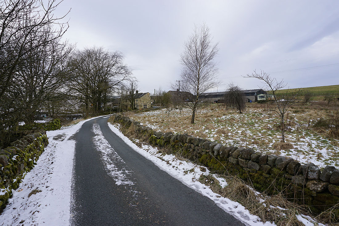
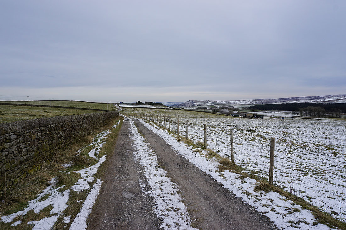
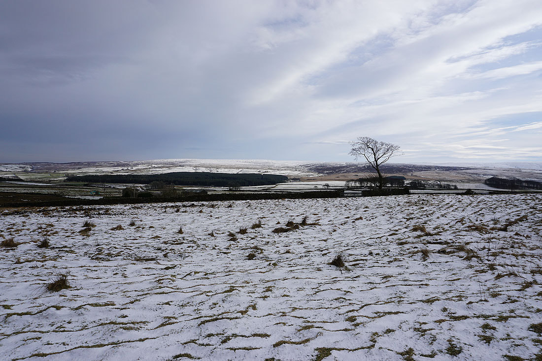
As I walk up Hill End Lane and then Sandyforth Lane, Earl Crag and the moorland around Airedale comes into view...
Knarrs Hill in the distance as I head west along Sandyforth Lane to Mosside Kennels & Cattery and onto the track to Sedgemoor House..
Boulsworth Hill and..
..Ickornshaw Moor to my left
Looking back with Earl Crag in the distance on the right
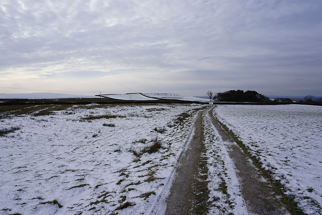
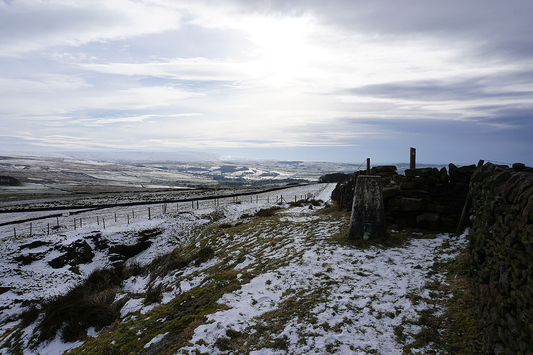
On the Pennine Bridleway to Knarrs Hill
Pendle Hill in the distance from a bitterly cold Knarrs Hill
Boulsworth Hill in the distance from the trig point
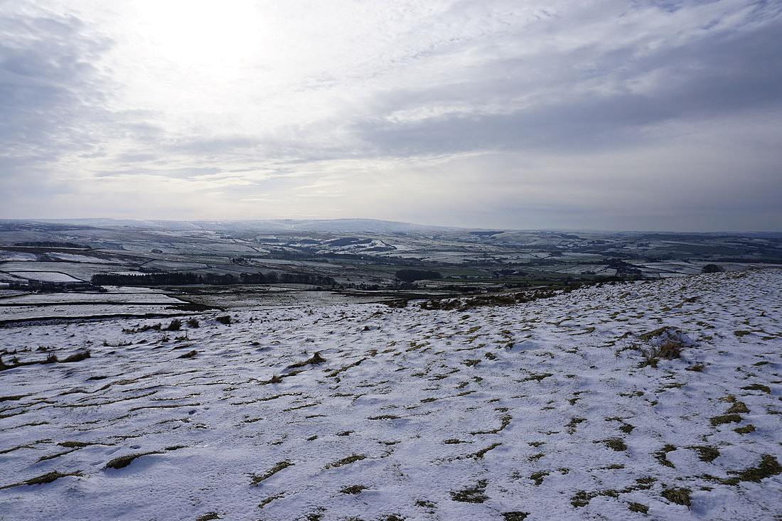
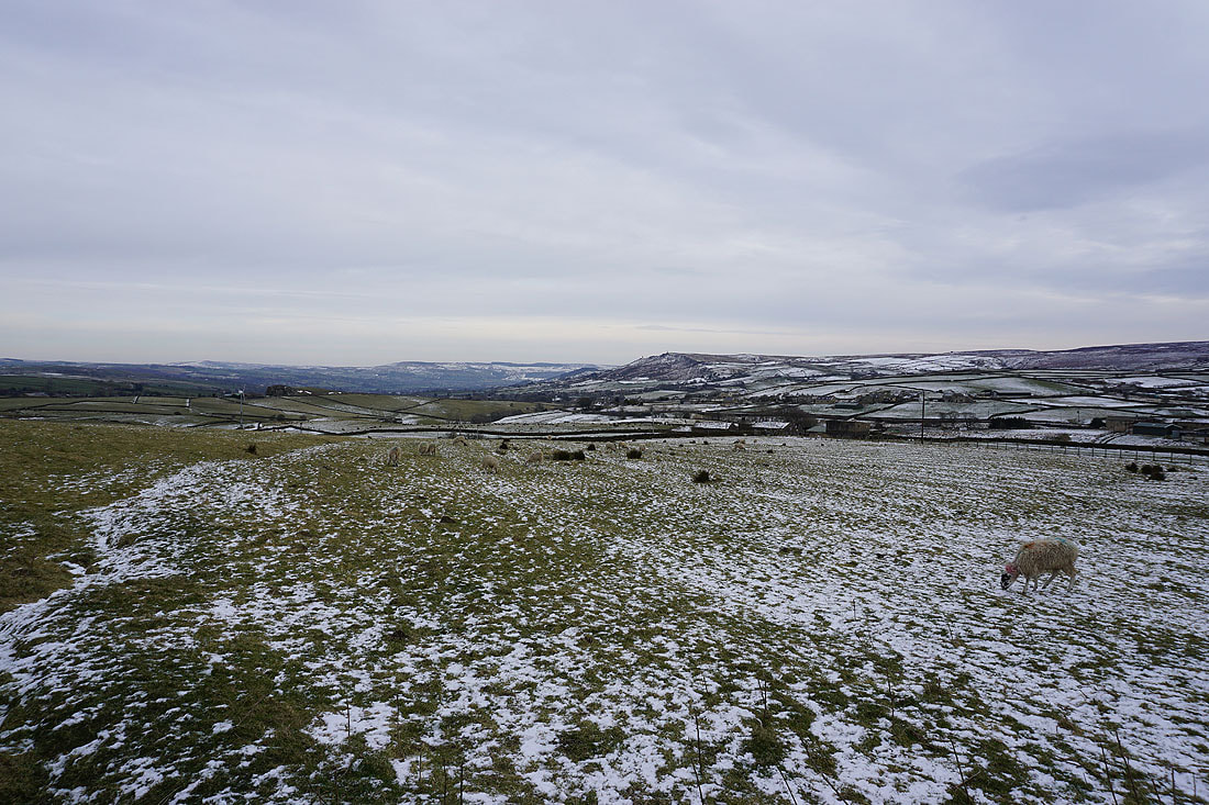
Sunshine on Ickornshaw Moor
Earl Crag in the distance behind Knarr End Farm
Dark clouds are gathering
Looking back to Knarrs Hill from the Pennine Bridleway to Warley Wise Lane
Heading west along Warley Wise Lane to Black Lane Ends
Looking back along Warley Wise Lane
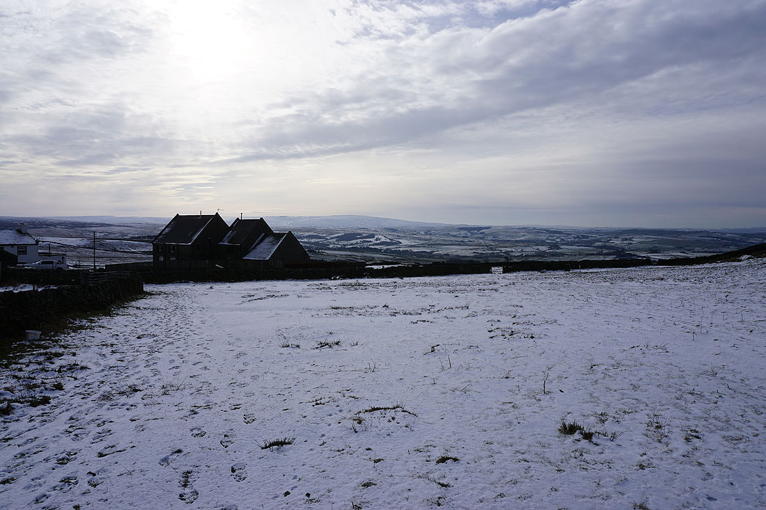
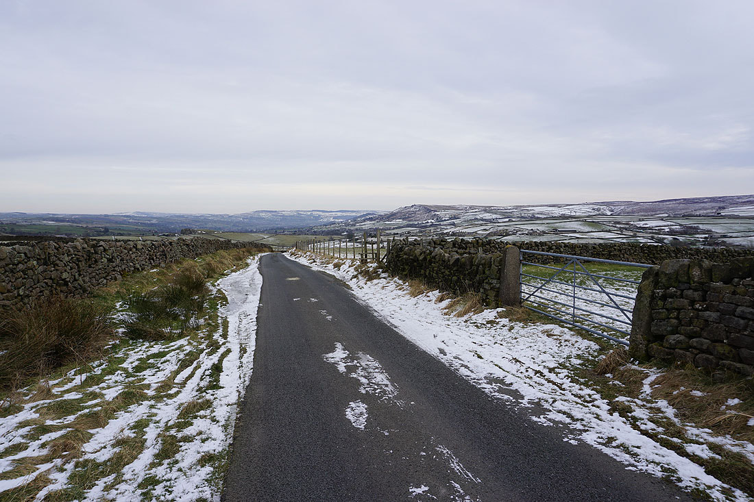
A bleak winter's scene at Black Lane Ends as I head up onto Piked Edge
Boulsworth Hill to the south
Pendle Hill in the distance as I make my way to Harwes Farm from Piked Edge. It wasn't quite as dark as it looks in this photo.
I can just about make out Inglebrough and the moors above Settle in the distance to the north
Threatening clouds over Boulsworth Hill
On the path to Great Edge from Harwes Farm
Pendle Hill from Great Edge..
Boulsworth Hill to the south as I make my way up onto Noyna Hill
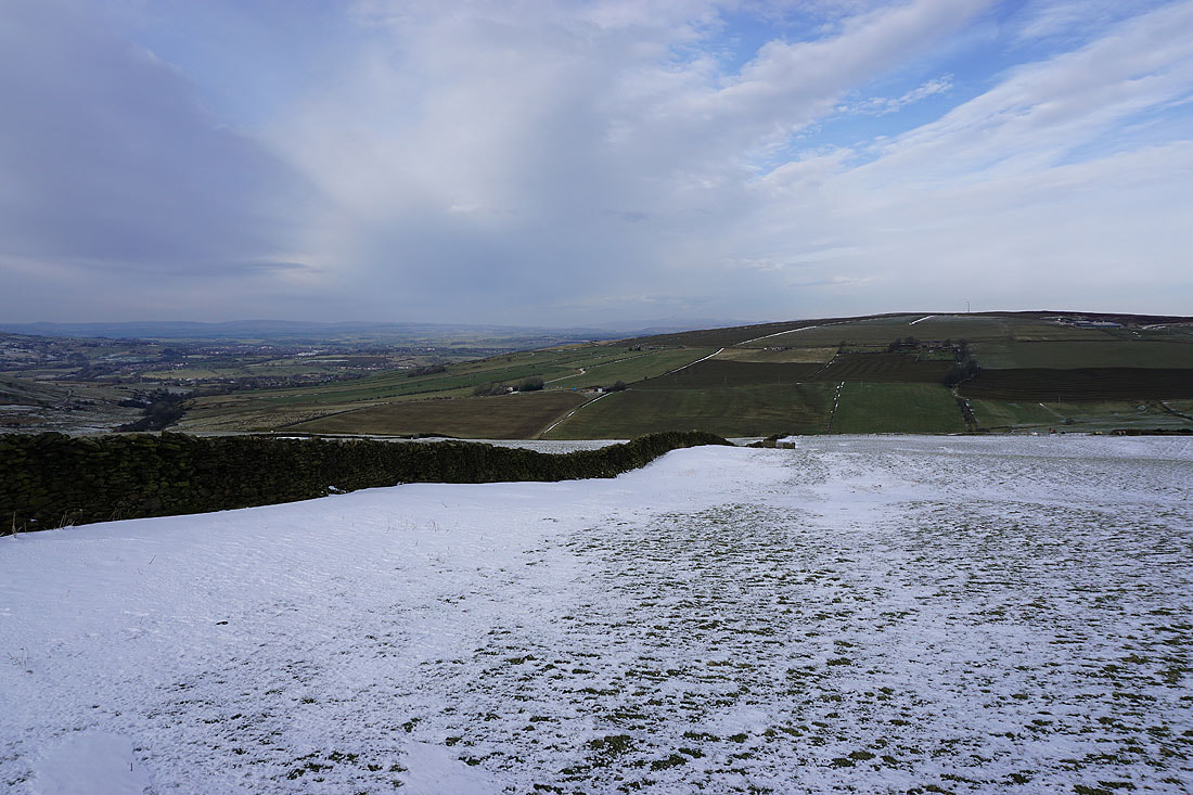
Looking north across the slopes of Kelbrook Moor to the moors around Wharfedale in the distance
Pendle Hill as I make my way back down to Foulridge and home from Noyna Hill..