13th July 2008 - The High Stile ridge, Hay Stacks and Fleetwith Pike
Walk Details
Distance walked: 10.2 miles
Total ascent: 4656 ft
OS map used: OL4 - The English Lakes, North-western area
Time taken: 7.5 hrs
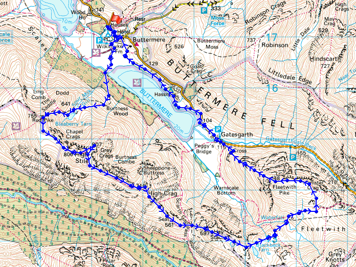
Route description: Buttermere-Bleaberry Tarn-Red Pike-High Stile-High Crag-Seat-Scarth Gap Pass-Hay Stacks-Fleetwith Pike-Fleetwith Edge-Gatesgarth-Buttermere
A walk along the High Stile ridge followed by Hay Stacks and Fleetwith Pike.
From Buttermere I took the direct route to Red Pike via Bleaberry Tarn. I then walked along the ridge to the summits of High Stile and Red Pike before descending to Scarth Gap to climb to the summit of Hay Stacks. From Hay Stacks I then made my way across to the final summit of the day, Fleetwith Pike. My route back was down Fleetwith Edge and the path along the north shore of Buttermere.
Route map
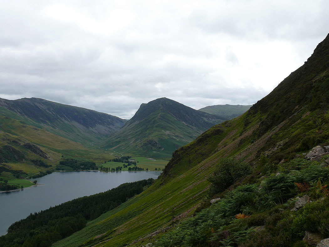
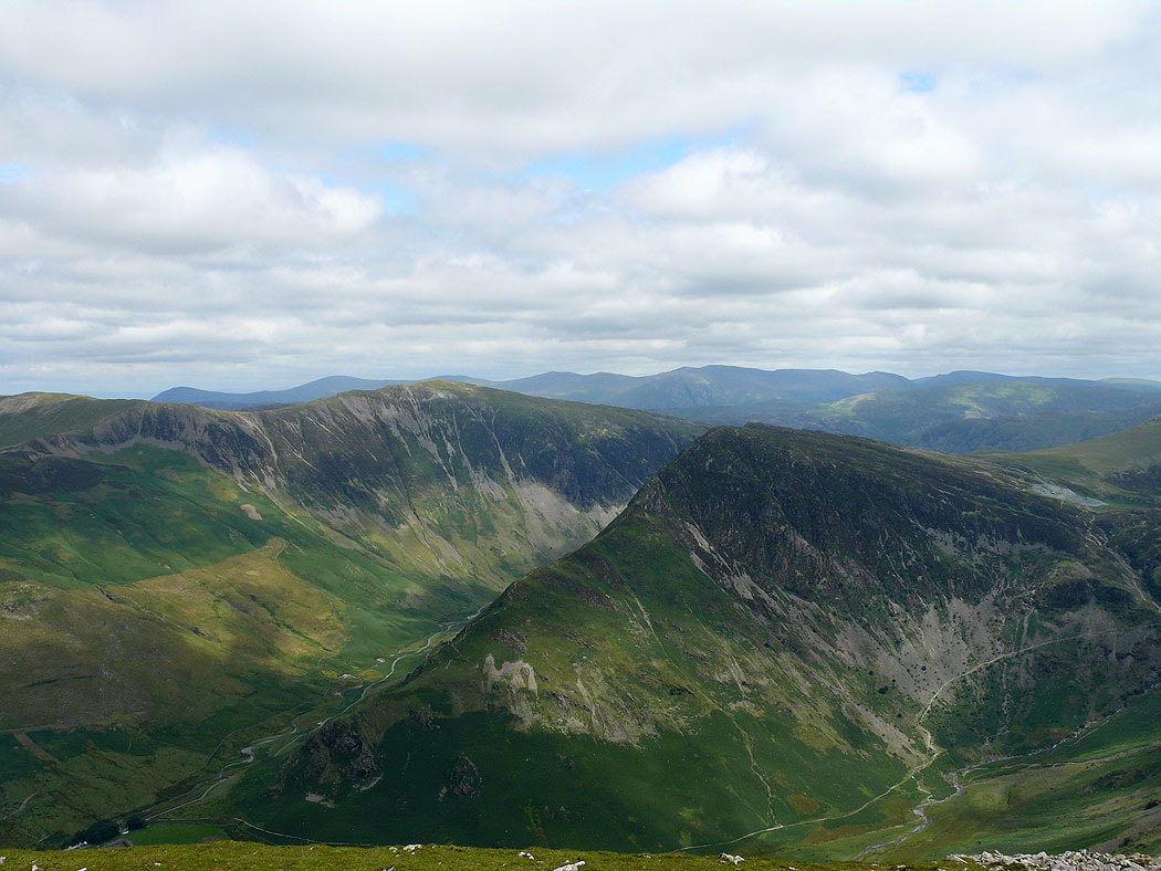
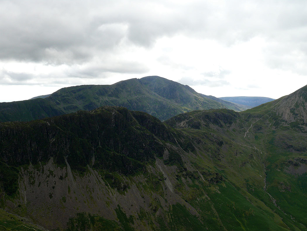
Fleetwith Pike from the climb up to Bleaberry Tarn
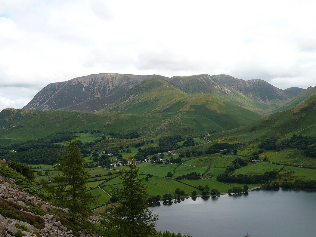
The Grasmoor group of fells
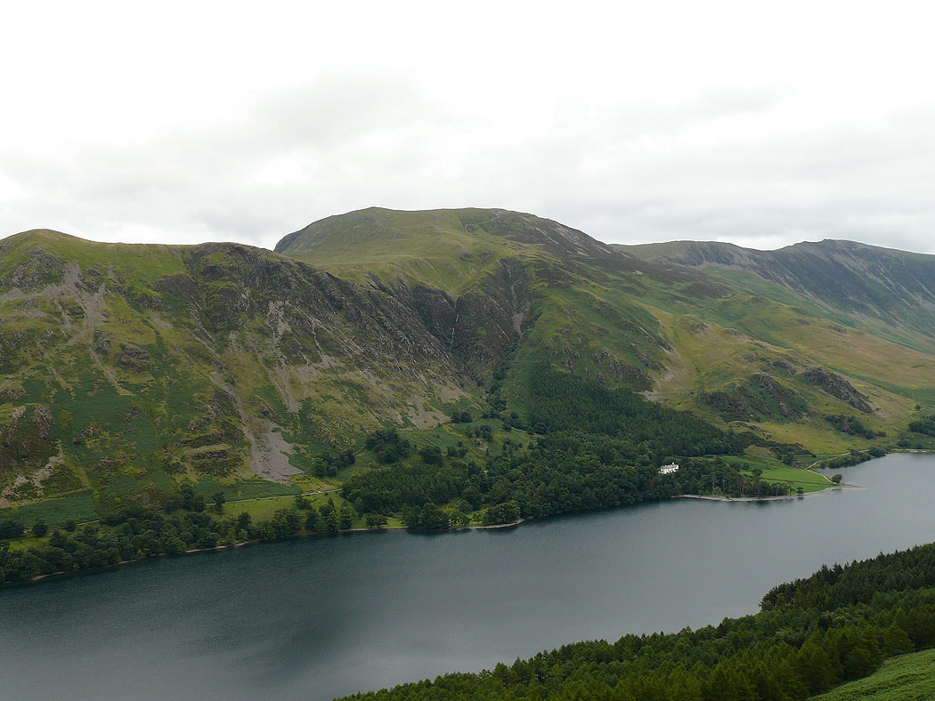
The fell of Robinson on the other side of Buttermere
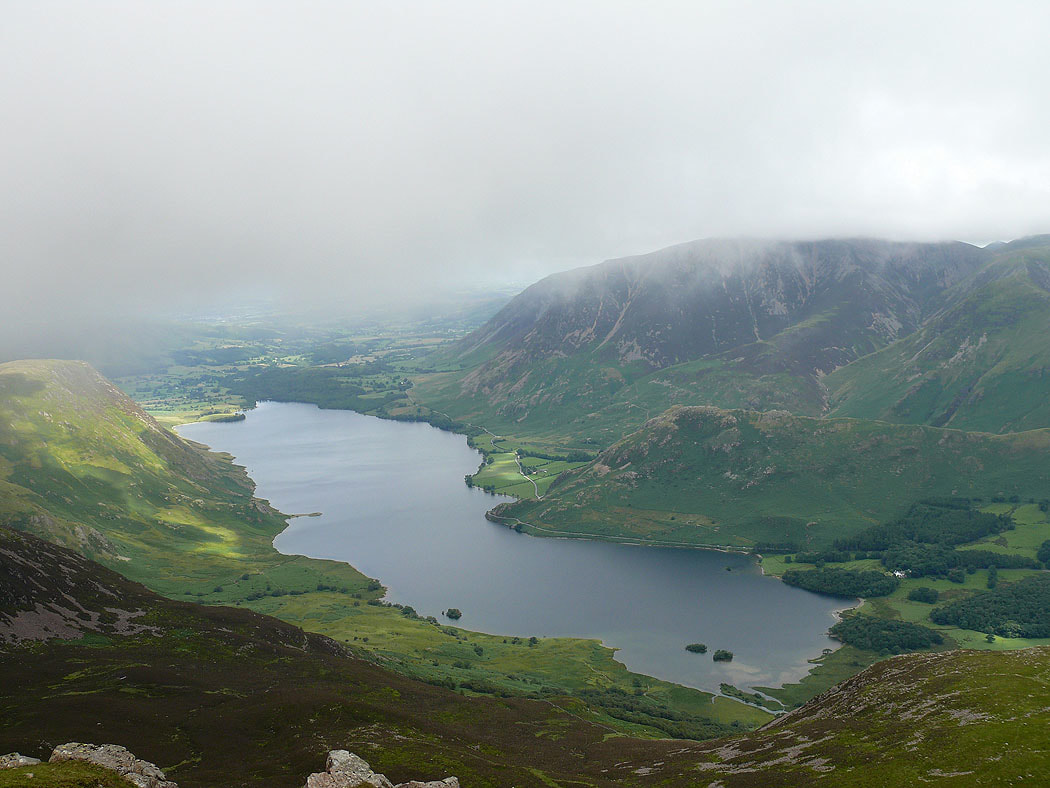
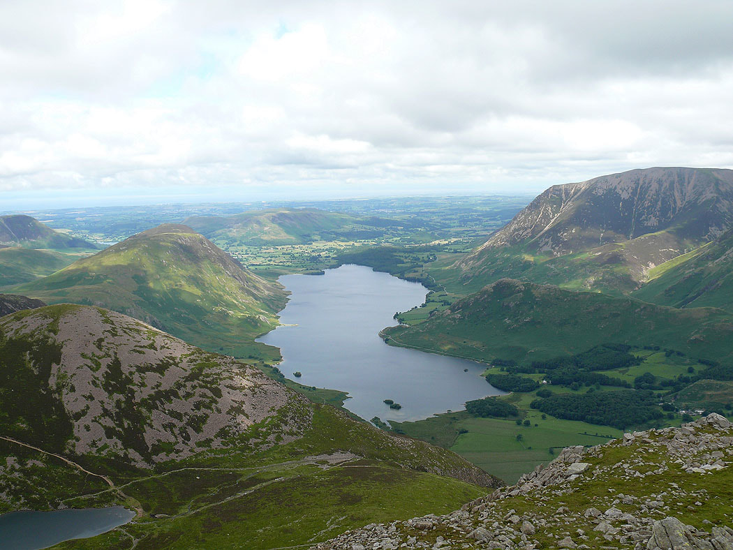
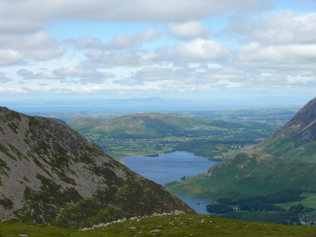
Crummock Water from the summit of Red Pike. The cloud is just scudding across the top.
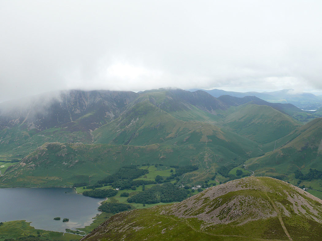
Cloud just covering the tops of Grasmoor and Crag Hill
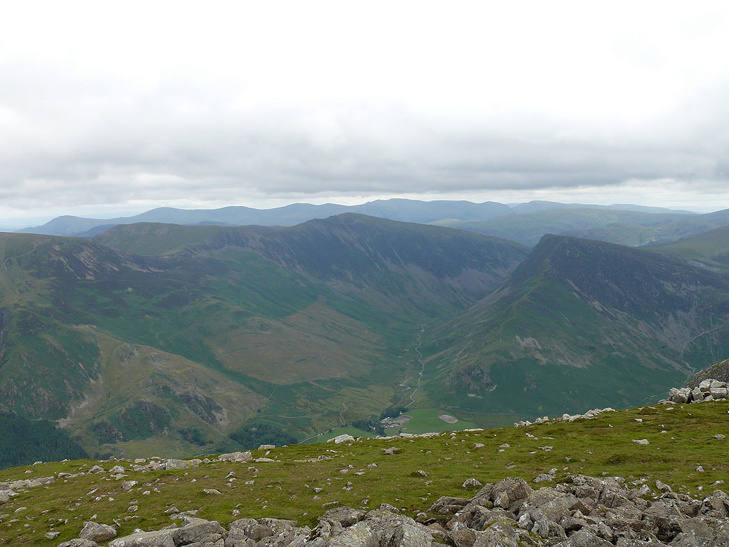
Robinson and Dale Head
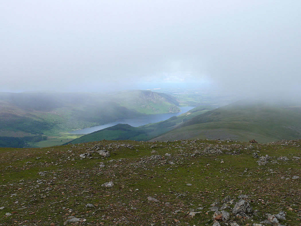
Ennerdale Water visible below the cloud
On the summit of High Stile and the cloud has lifted. Crummock Water below.
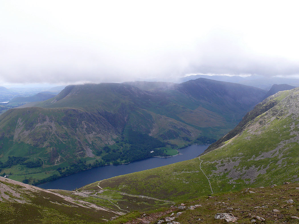
The Helvellyn range beyond Hindscarth, Dale Head and Fleetwith Pike
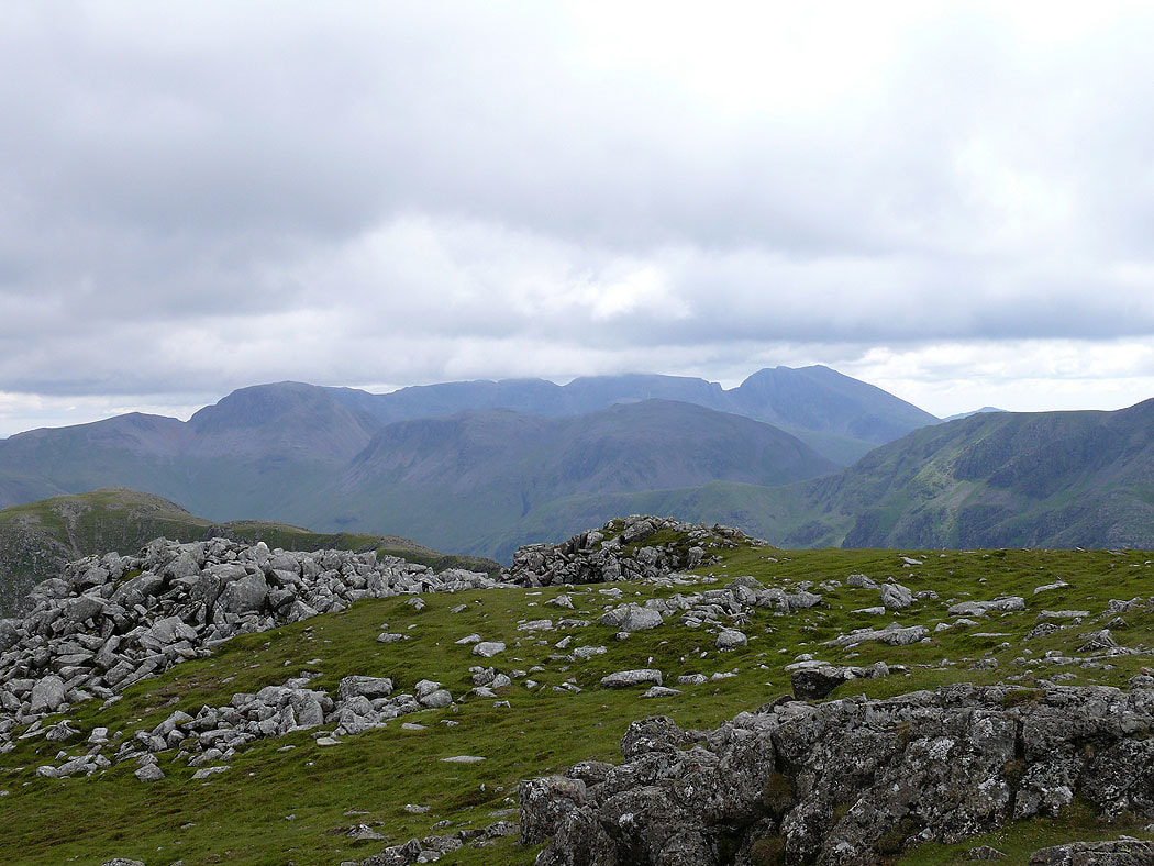
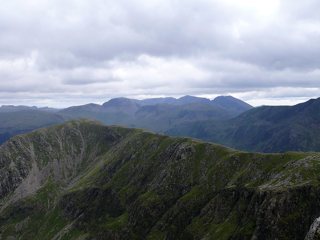
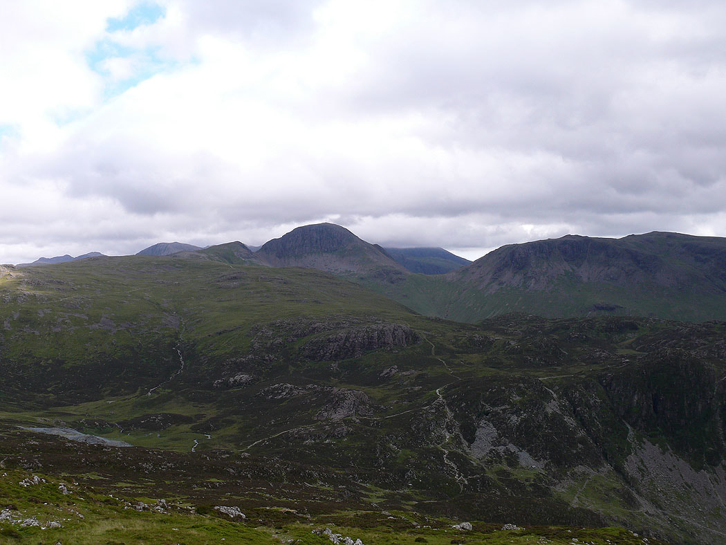
Scafell Pike is still under cloud
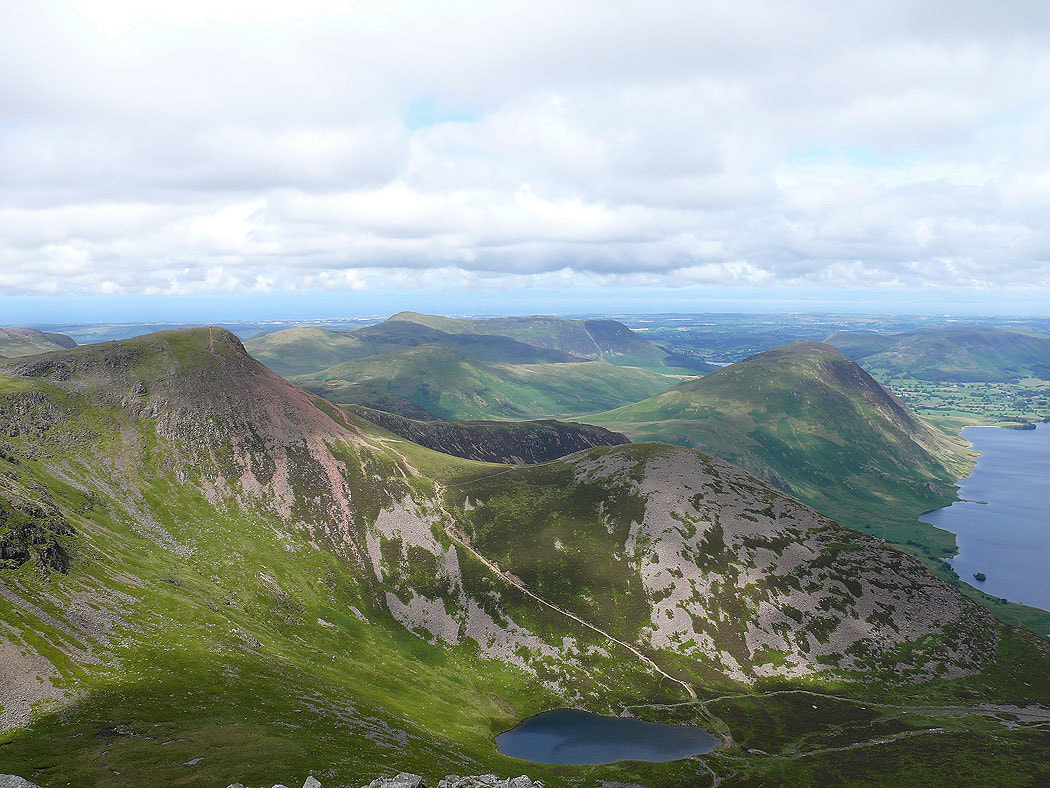
The previous summit of Red Pike with Bleaberry Tarn below
The Scafells are now clear of cloud
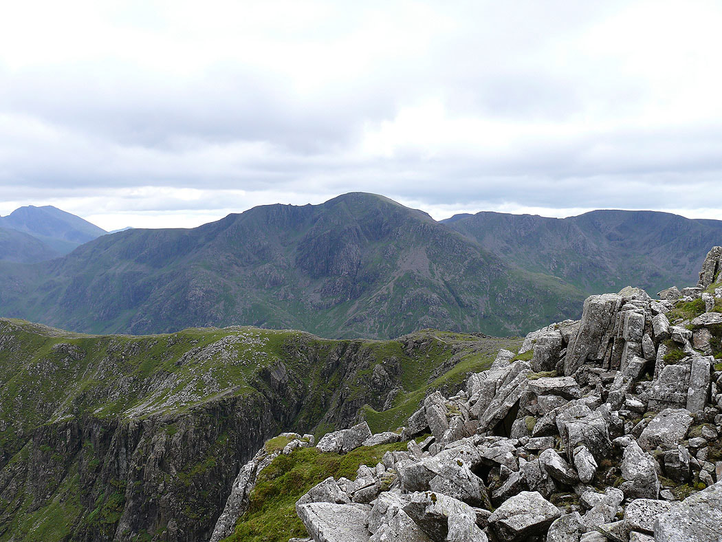
Pillar on the other side of Ennerdale
I've made my way along to the next summit of the day, High Crag. Great Gable and Kirk Fell at the head of Ennerdale.
Zooming in on Criffell in Dumfriesshire on the other side of the Solway Firth
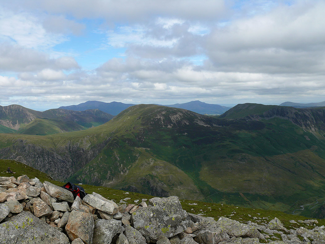
Robinson and Hindscarth with Skiddaw and Blencathra behind
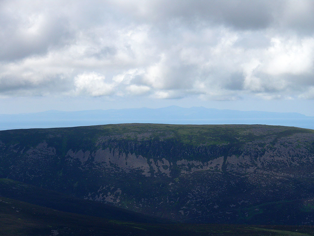
The visibility was good enough to see the Isle of Man in the Irish Sea above Iron Crag
Pillar from High Crag
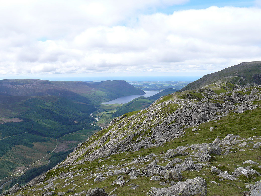
Ennerdale Water
Dale Head and Fleetwith Pike with Helvellyn and Fairfield in the distance
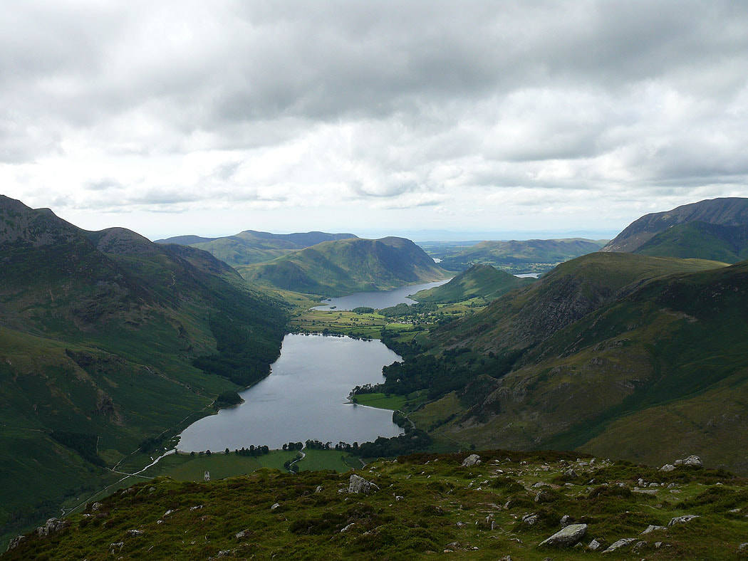
From High Crag I made my way down to the Scarth Gap Pass and then up to the summit of Haystacks. The view of the Buttermere valley.
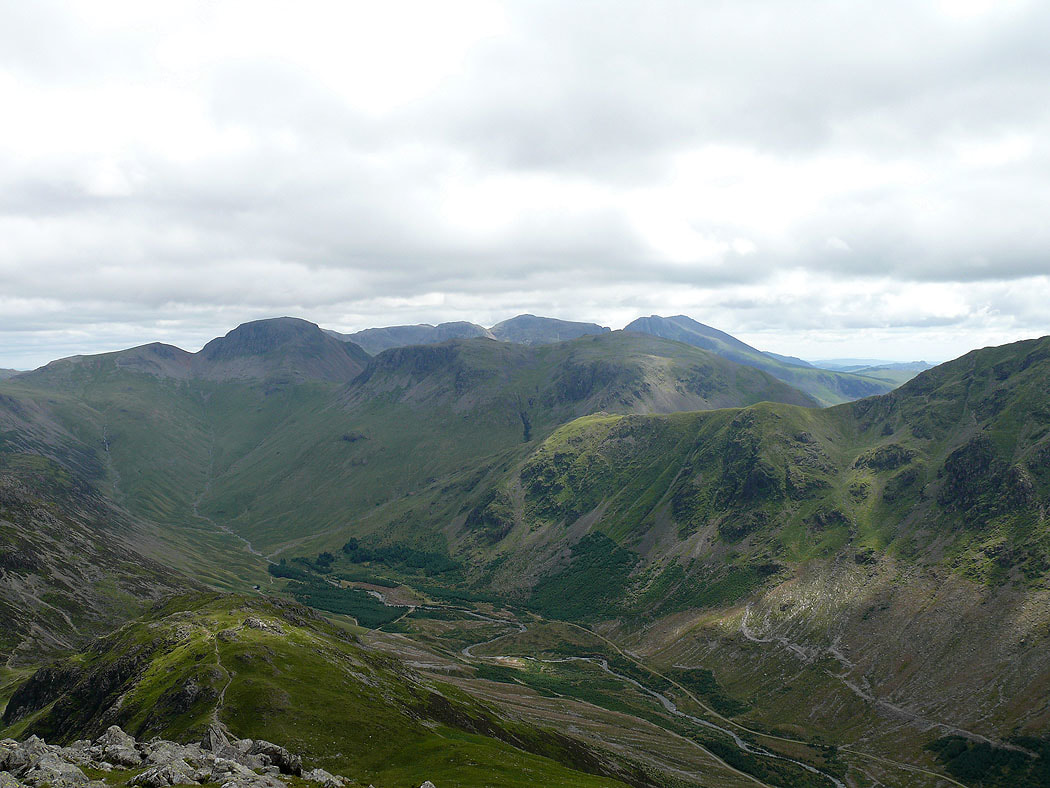
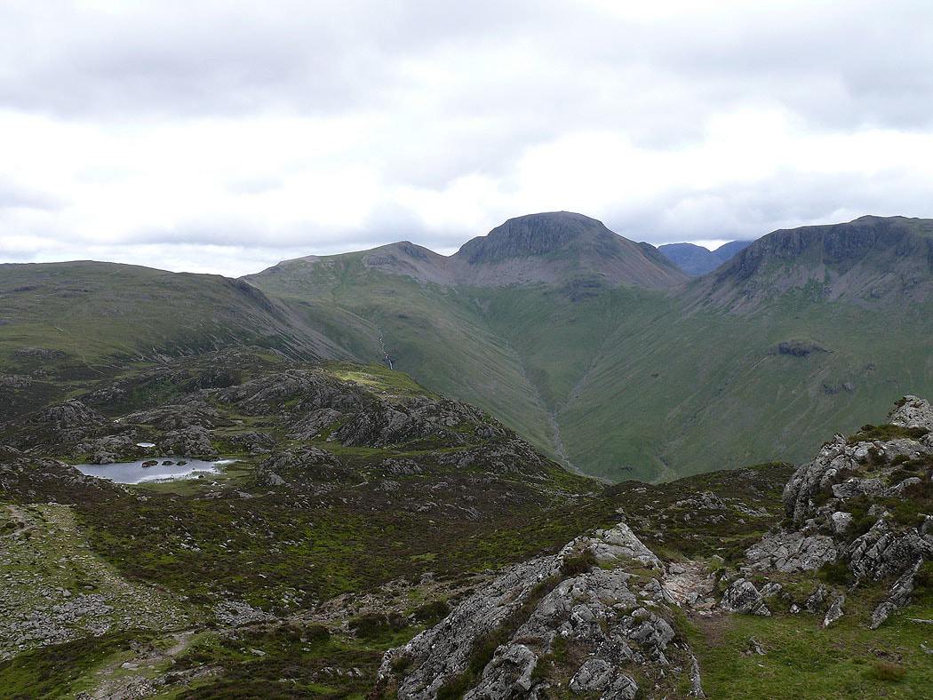
Green Gable and Great Gable at the head of Ennerdale. The patch of water is Innominate Tarn.
Great Gable from the final summit of the day, Fleetwith Pike
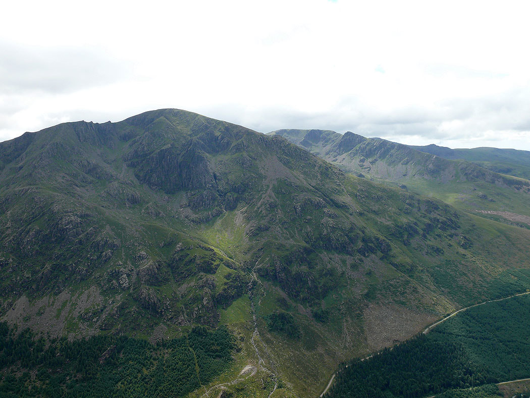
Hay Stacks with Pillar behind
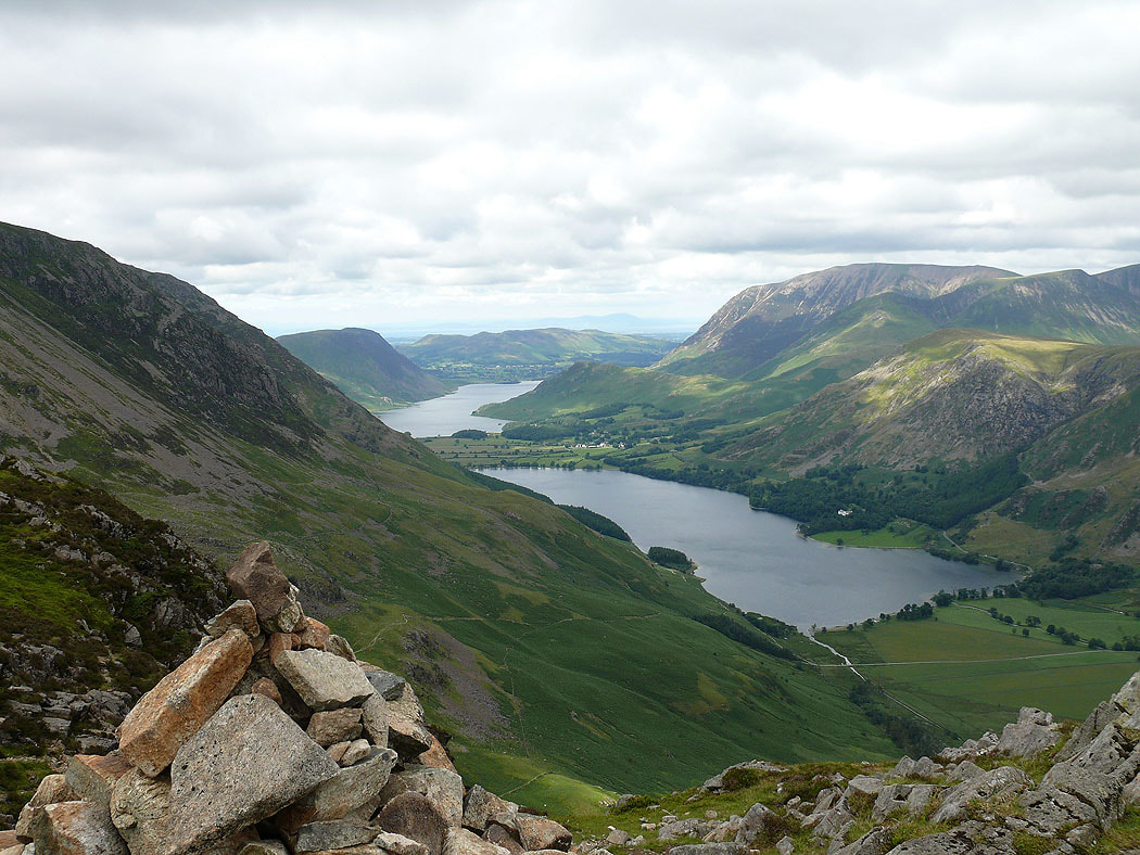
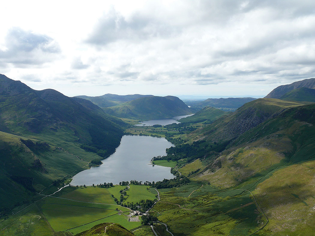
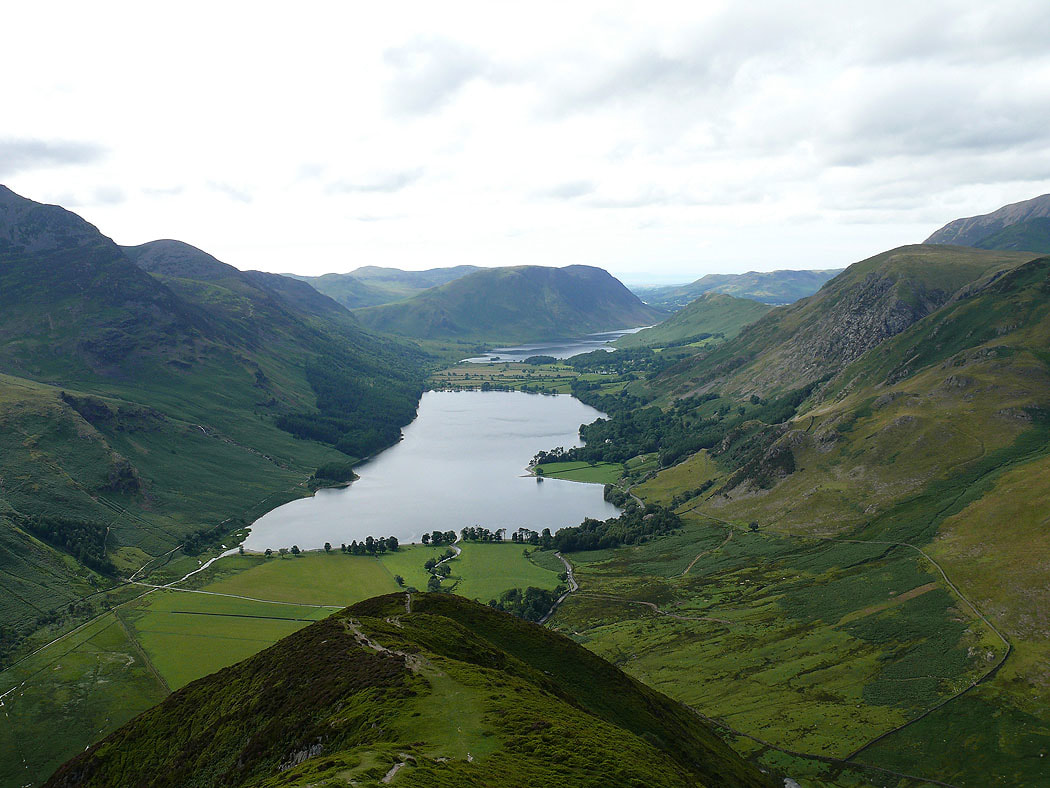
The Buttermere valley from Fleetwith Pike, one of my favourite views in the Lake District and a couple more shots of the view as I make my way down Fleetwith Edge...
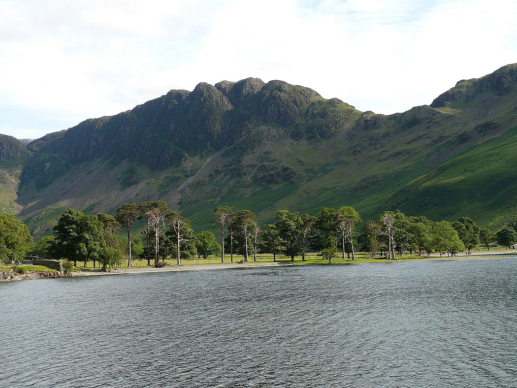
Hay Stacks in front of the Buttermere Pines as I head back to Buttermere by the path along the north shore of the lake
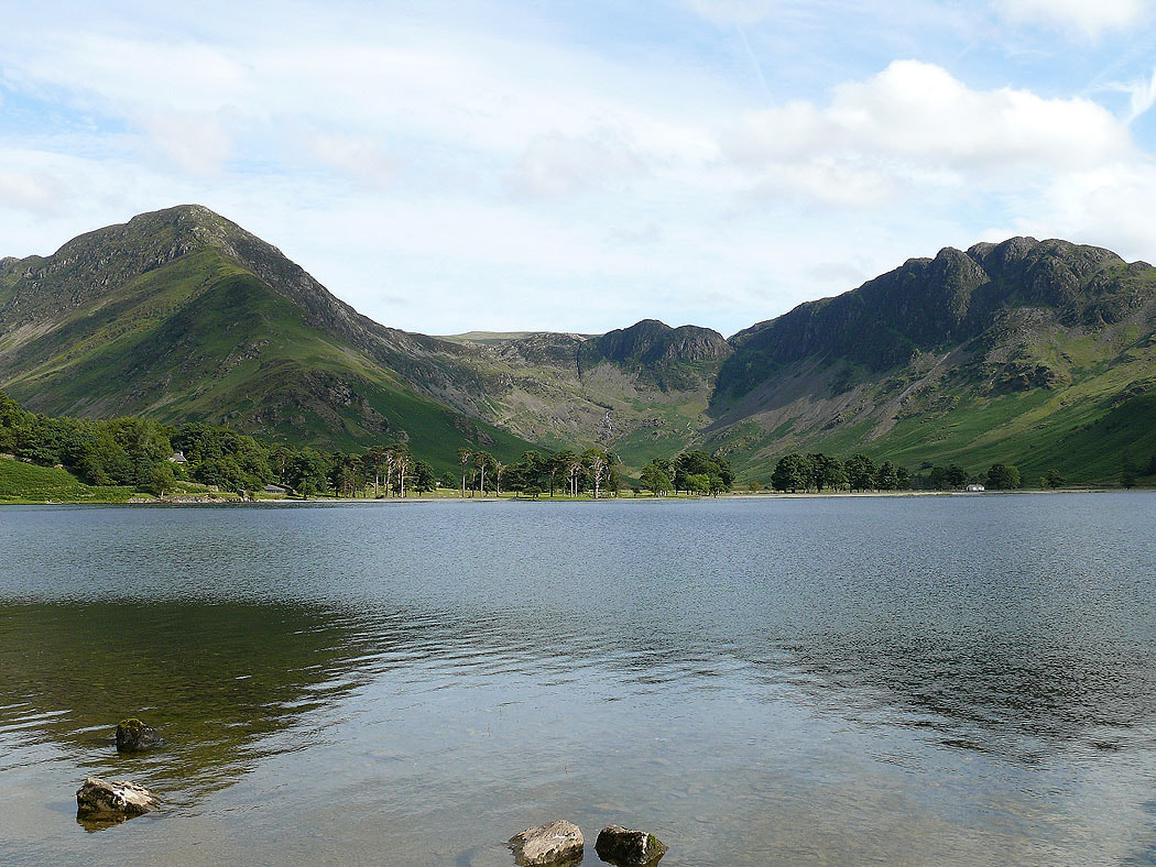
Fleetwith Pike and Hay Stacks
