13th July 2009 - Grike, Crag Fell and Lank Rigg
Walk Details
Distance walked: 12.1 miles
Total ascent: 3020 ft
OS map used: OL4 - The English Lakes, North-western area
Time taken: 6.5 hrs
Route description: Wath Bridge, Cleator Moor-Nannycatch Road-Nannycatch Gate-Sillathwaite-Cold Fell Road-Blakeley Raise-Grike-Crag Fell-Whoap-Lank Rigg-Whoap Beck-Cold Fell Road-path round Flat Fell-Nannycatch Road-Wath Bridge, Cleator Moor
Three Wainwrights bagged today with Grike, Crag Fell and Lank Rigg visited. I could have started this walk from the Cold Fell Road but I wanted to walk through the valley of Nannycatch so I parked at Wath Bridge which added a few miles to the walk. The forecast was for showers but it stayed dry until I was walking back down Nannycatch Road at the end of the walk.
From Wath Bridge I walked up Nannycatch Road to Nannycatch Gate, across the beck and up past Sillathwaite to the Cold Fell Road. I then walked up Blakeley Raise, through the forest and upto Grike. From Grike it was across to Crag Fell, and then down through the forest, across Whoap and upto the summit of Lank Rigg. The route back was down to the col between Lank Rigg and Whoap, from where I took the path down by Whoap Beck that brings you back out at the Cold Fell Road. I then walked north along the road to pick up the path around the north side of Flat Fell to Nannycatch Road and back to the start.
Route map
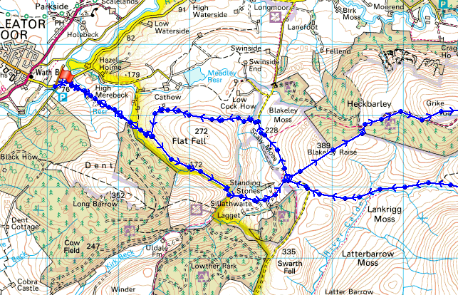
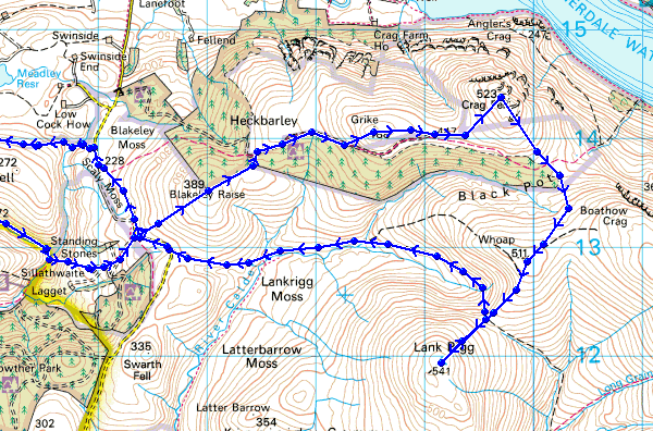
© Crown copyright. All rights reserved. License number PU 100034184.
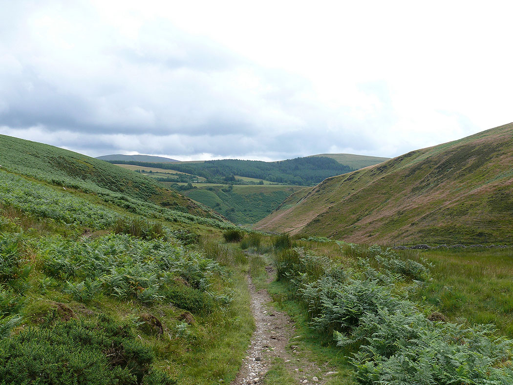
Heading towards Nannycatch Gate
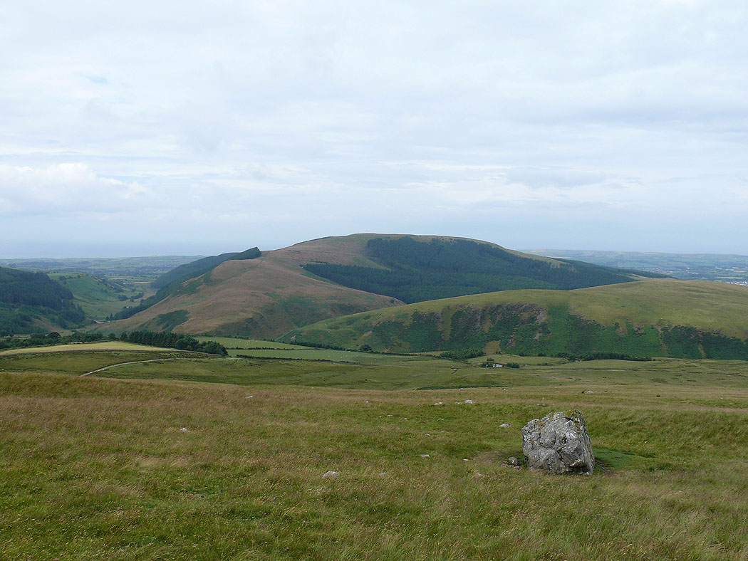
Dent from the Cold Fell Road
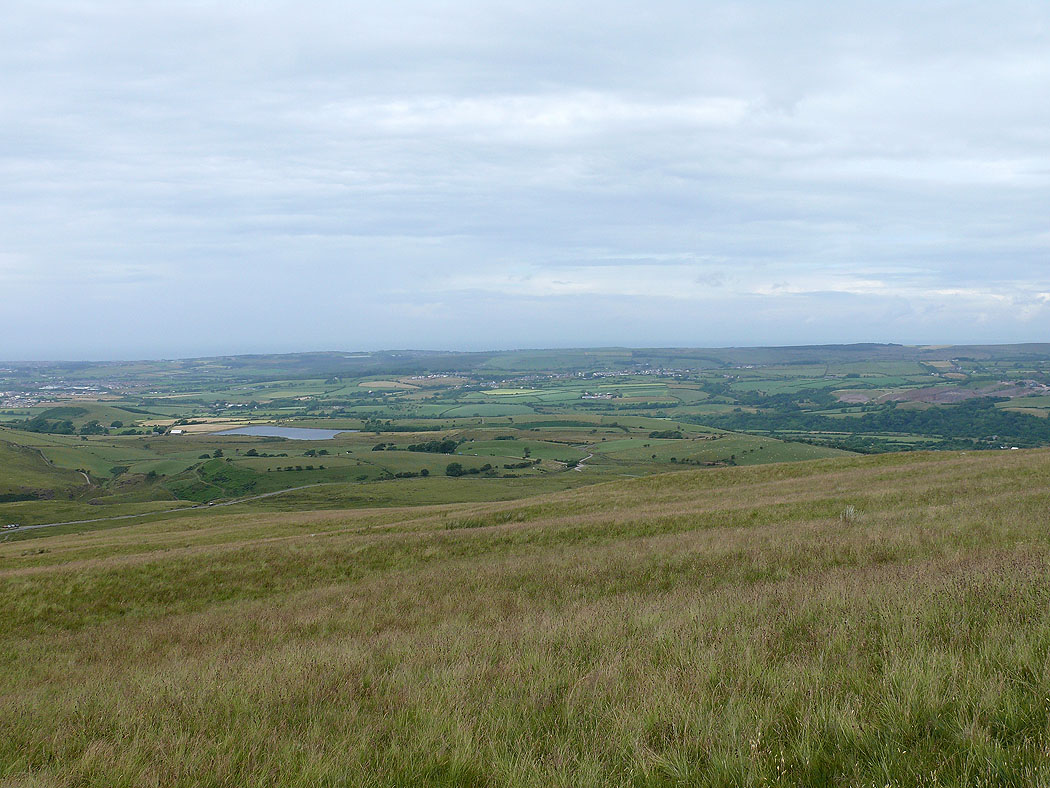
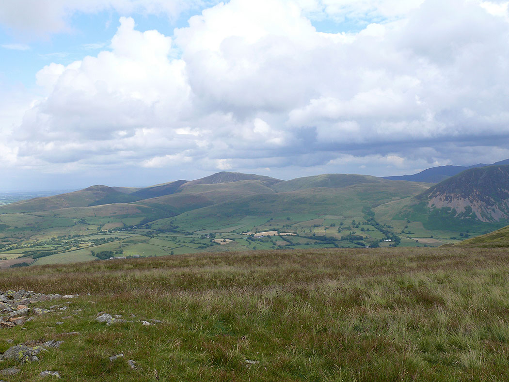
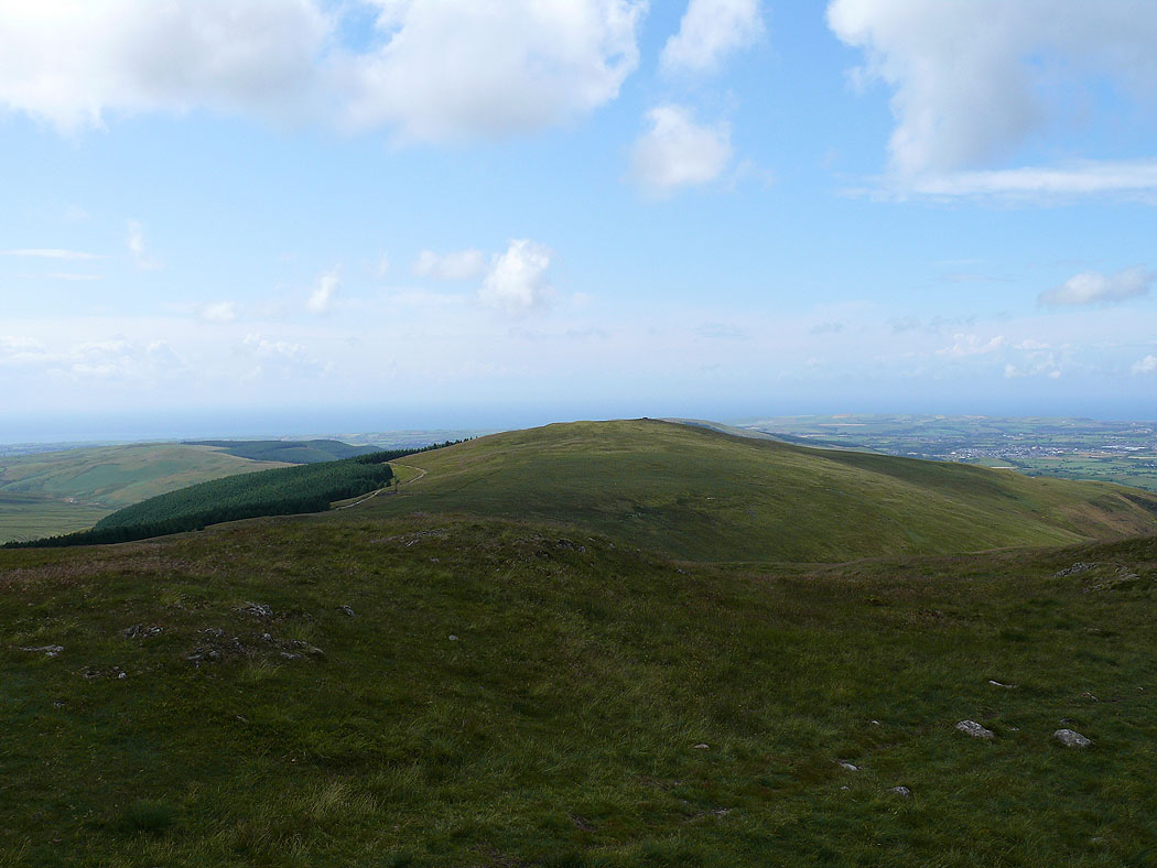
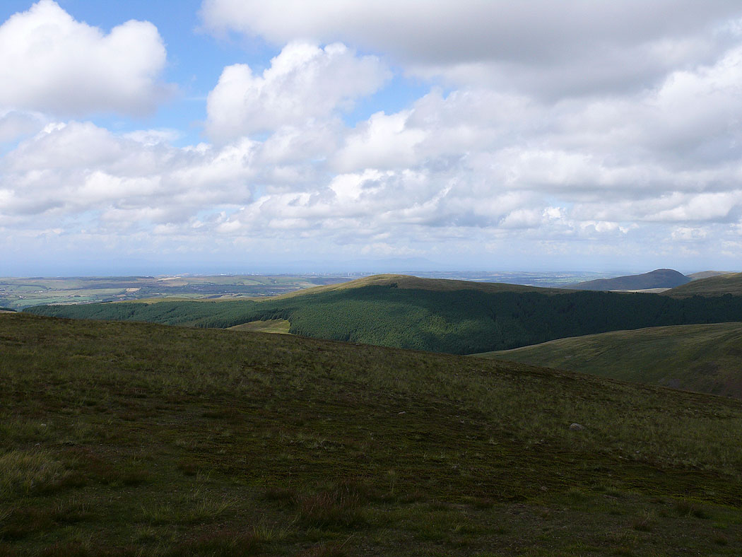
The view across the coastal plain. The patch of water is Meadley Reservoir.
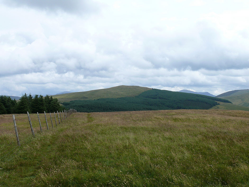
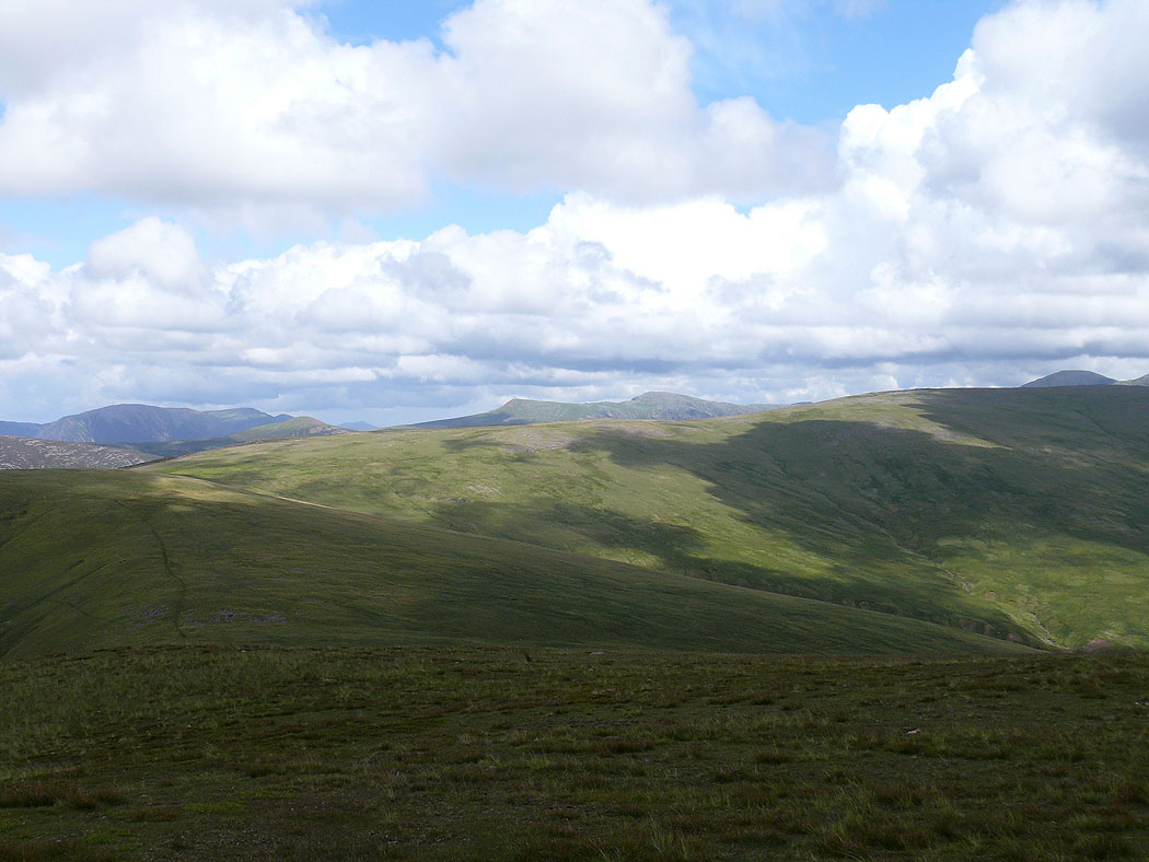
Grike from Blakeley Raise
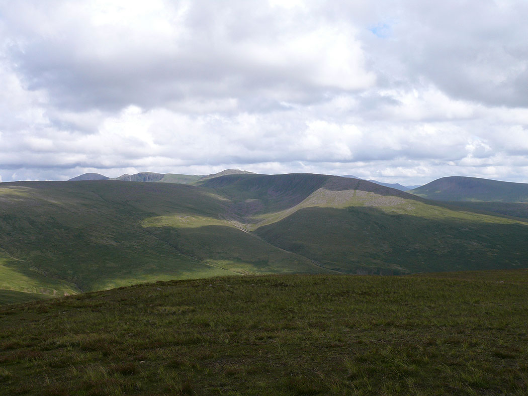
Whoap and Lank Rigg
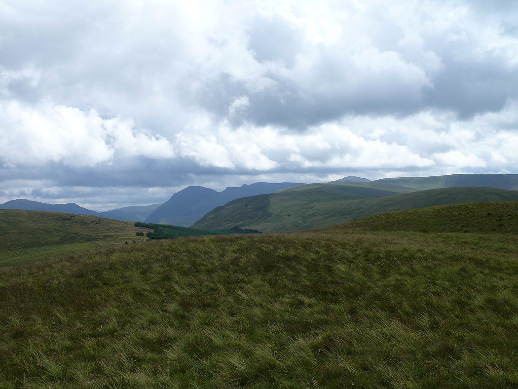
Dent from Blakeley Raise
On the summit of Grike and the view up towards Pillar
Blake Fell, the highest of the Loweswater fells
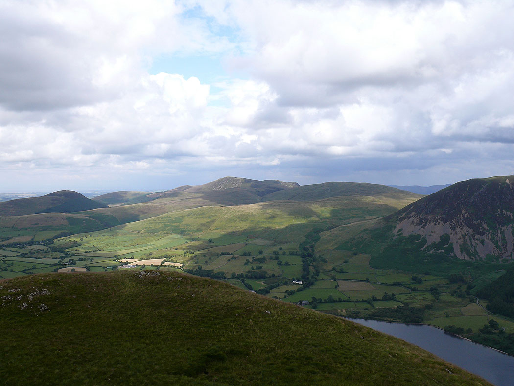
and again, but this time from the summit of Crag Fell
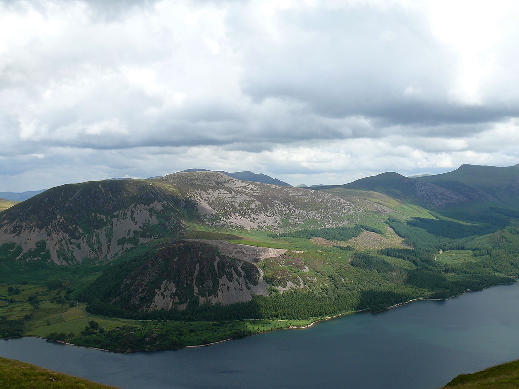
Great Borne with Bowness Knot below across Ennerdale Water
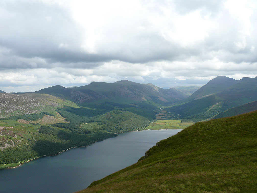
A great view up Ennerdale. The High Stile range is to the left and Pillar is on the right.
The view back to Grike
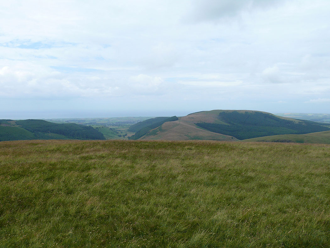
Next stop Whoap and Lank Rigg
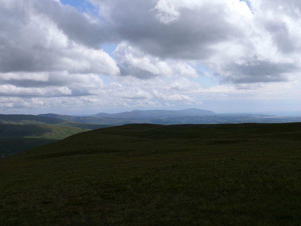
A distant Black Combe from the summit of Lank Rigg
The view to the northeast. Grasmoor and Crag Hill to the left, Red Pike and High Stile to the right in the distance. The slope on the right heads up to Iron Crag.
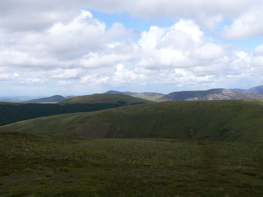
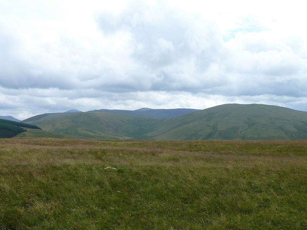
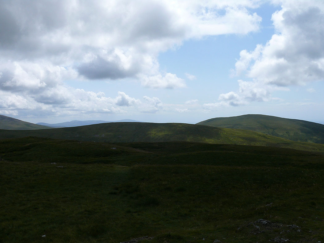
The view to the north across Crag Fell and Whoap to the Loweswater fells and Great Borne
Grike
Caw Fell, the last shot of the day before the long walk back