13th July 2019 - Wolf Stones and Earl Crag
Walk Details
Distance walked: 10.7 miles
Total ascent: 1604 ft
OS map used: OL21 - South Pennines
Time taken: 5.5 hrs
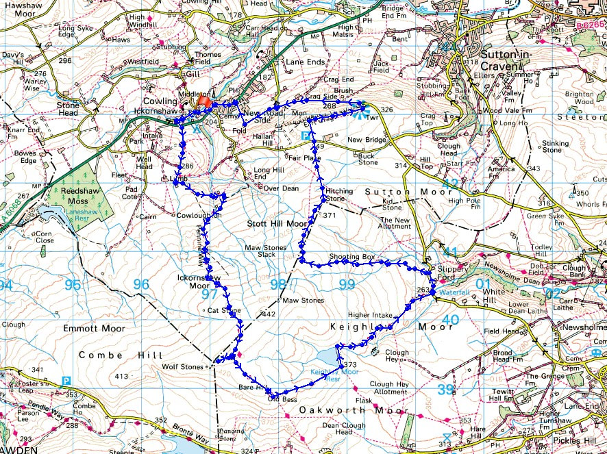
Route description: Ickornshaw-Pennine Way-Wolf Stones-Pennine Way-Keighley Moor Reservoir-Morkin Bridge-Slippery Ford Lane-Keighley Moor-The Level-Hitching Stone Hill-Hitching Stone-Buck Stone Lane-Wainman's Pinnacle-Earl Crag-Lund's Tower-Dick Lane-Baywood House-Fold Farm-Fold Lane-Cowling-Ickornshaw
I've got a walk planned for both days this weekend. Today it's one close to home as I make the short drive across to Ickornshaw near Cowling in West Yorkshire. I've gotten to know these South Pennine moors pretty well during recent years but there are still paths I haven't trodden and features that I've yet to see. The Pennine Way south across Ickornshaw Moor to Wolf Stones was new to me, though it's the third time that I've been on Wolf Stones this year, and it's the first time that I've visited the Hitching Stone. You don't appreciate just what a substantial chunk of rock it is until you get up close to it. I had reasonable summer weather for this outing with it staying dry, a bit of sunshine every now and then, and pleasantly warm.
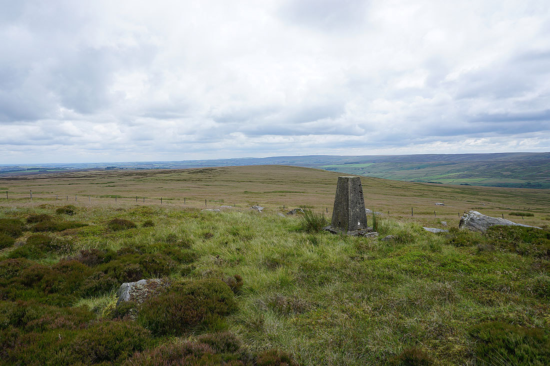
After parking in Ickornshaw I got onto the trail of the Pennine Way, crossed the A6068, and followed the trail south up onto Ickornshaw Moor and then on to Wolf Stones, for which I left the trail to visit the trig point. A stop for lunch was taken here, and then I returned to the Pennine Way to continue south on it a little while longer, to the end of the wall on Old Bess Hill, where I took the path down to Keighley Moor Reservoir. I then walked down the reservoir access road to Morkin Bridge and north along Slippery Ford Lane to reach the footpath opposite Middle Slippery Ford Barn. This footpath, starting off as a track between walls took me west onto the open moor to a shooting box and then up onto Keighley Moor, following a line of grouse butts to reach The Level. I couldn't really find any evidence of the public footpath that heads north from here on the map actually existing on the ground, so a bit of pathless heather bashing was involved crossing Hitching Stone Hill to reach the Hitching Stone. From the Hitching Stone I followed the fence north across the moor to Buck Stone Lane, crossed the road and took the path opposite to reach Wainman's Pinnacle on Earl Crag. After walking along Earl Crag to Lund's Tower I made my way down to the road below and walked west down the road to the sharp right hand bend where I took the footpath from Baywood House across fields to Fold Farm. I then walked down Fold Lane into Cowling, then west by the A6068 until I reached the lane of Winkholme down into Ickornshaw where I was parked.
Route map
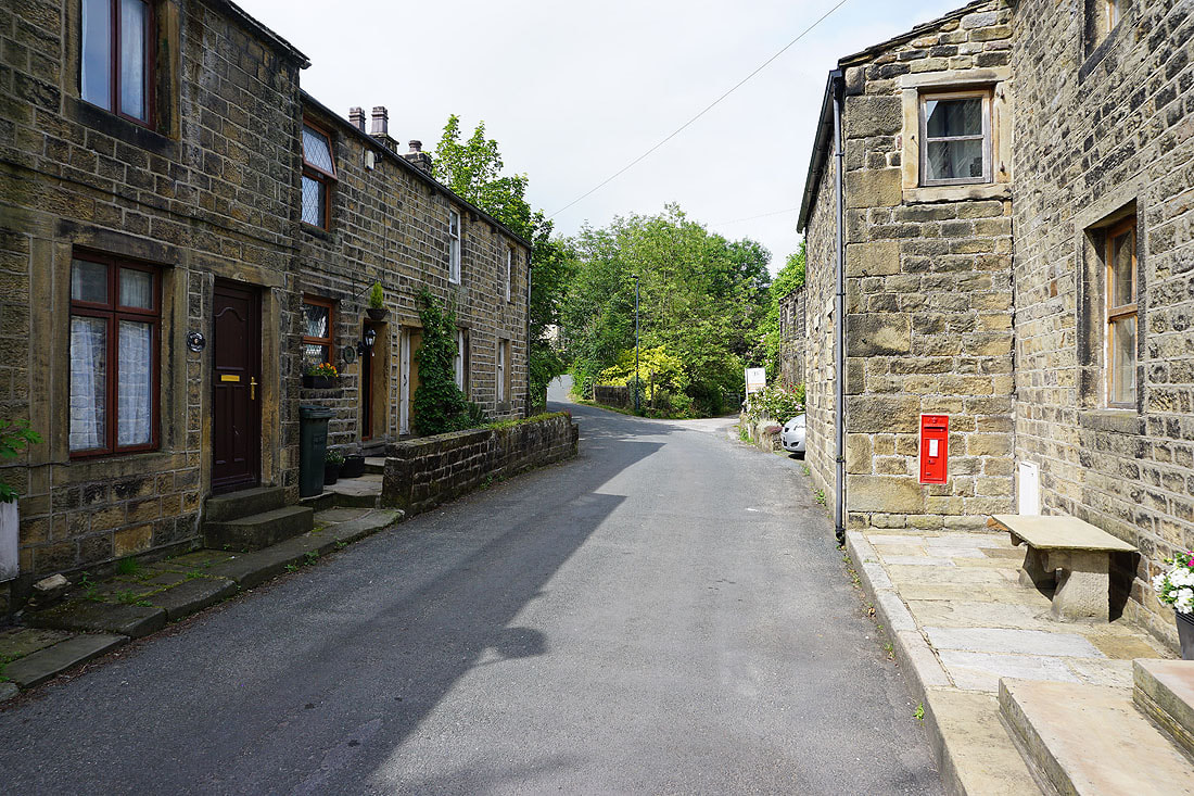
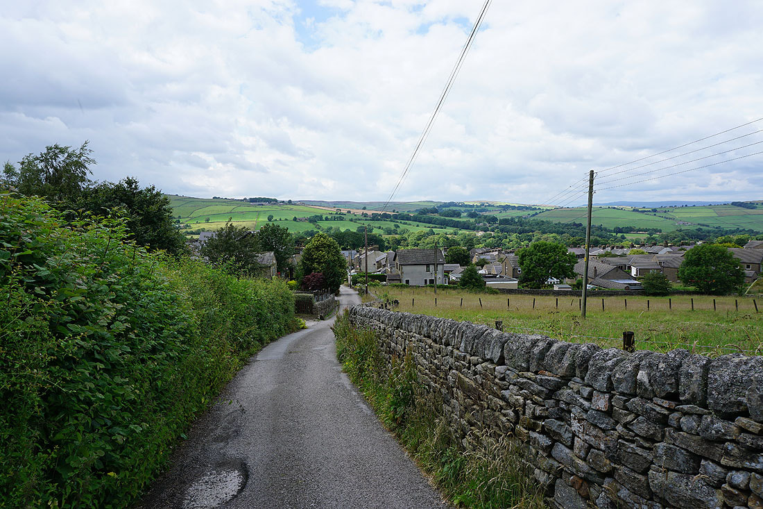
Making my way through Ickornshaw at the start of the walk
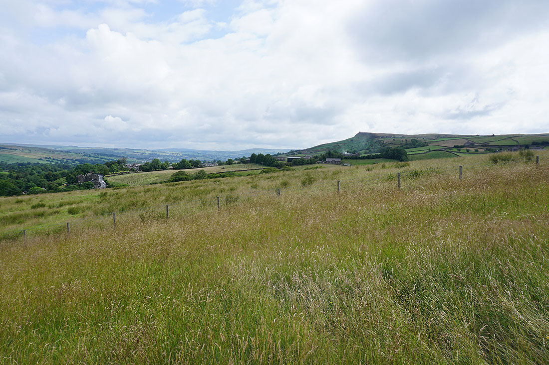
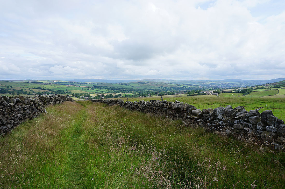
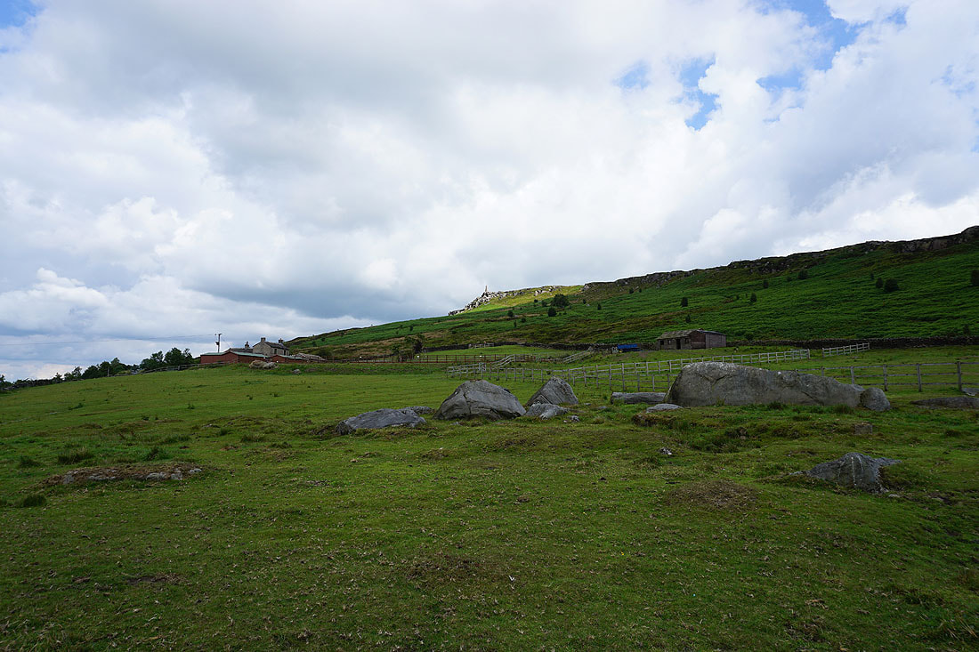
Views to Earl Crag and across the valley of Ickornshaw Beck as I follow the Pennine Way south from Ickornshaw..
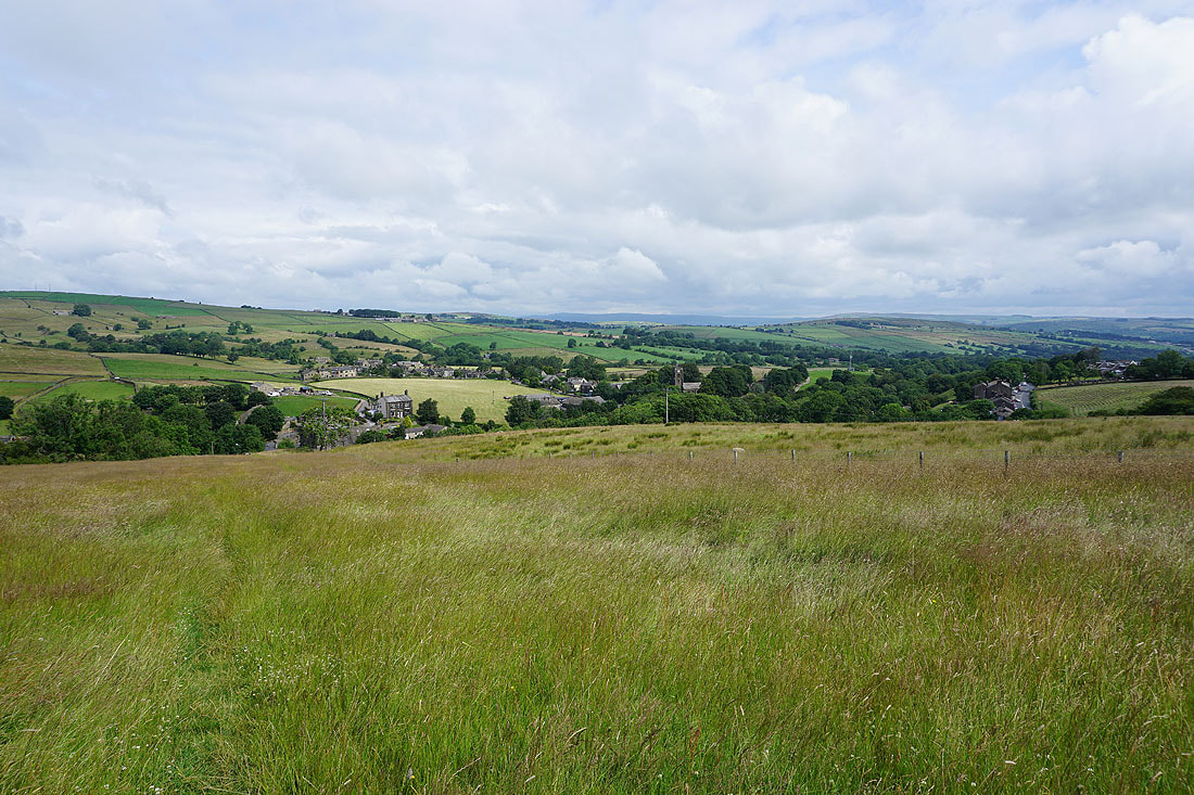
As I gain height more of the moors around Airedale come into view
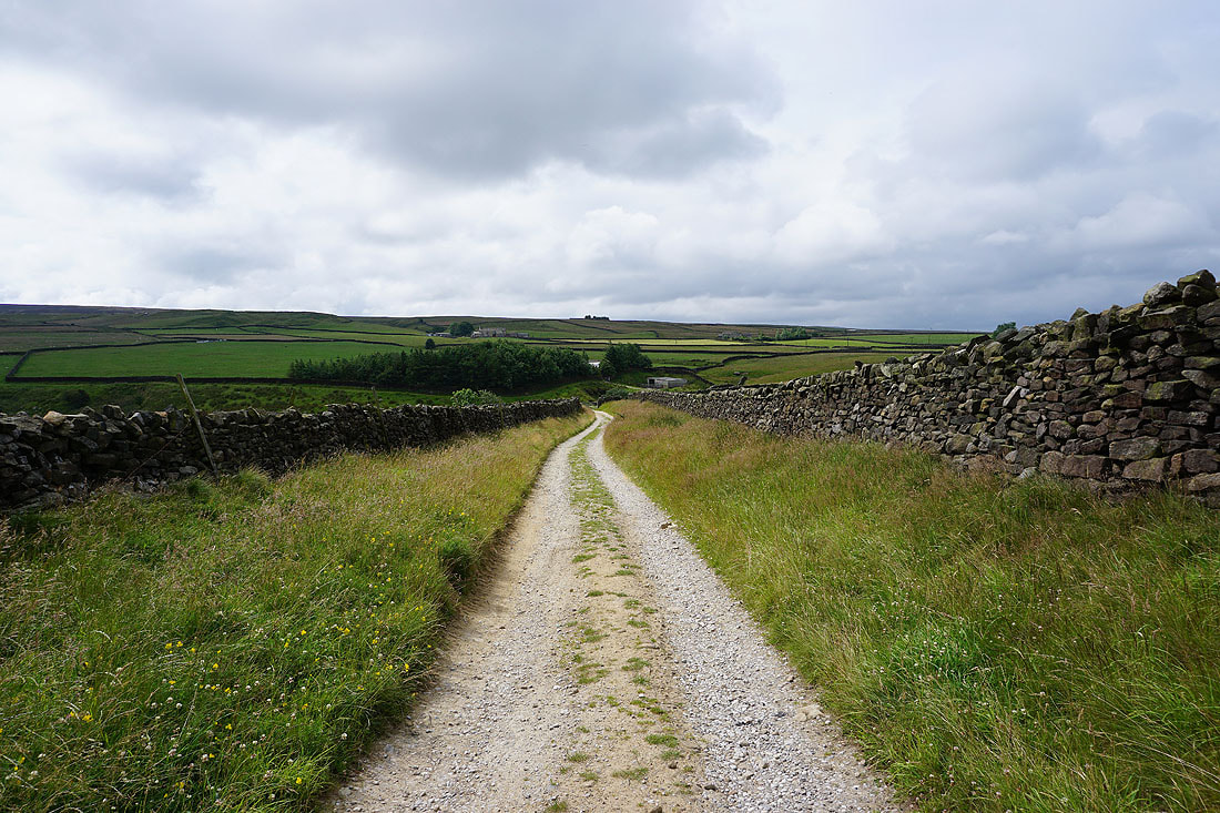
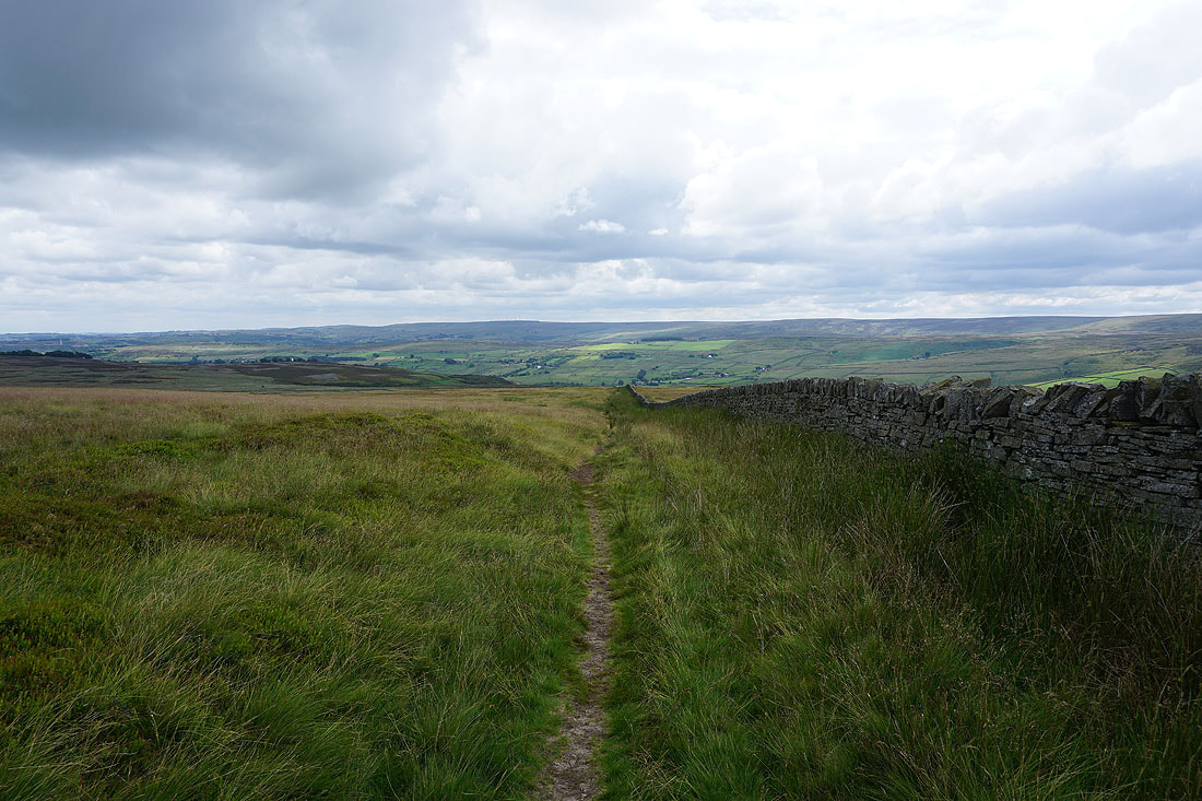
Following the Pennine Way south to Lumb Head Beck
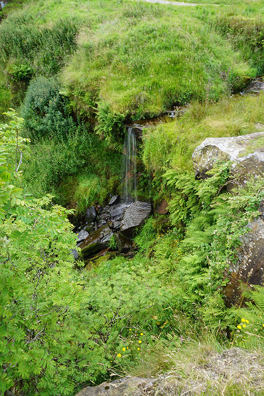
and the little waterfall on Lumb Head Beck
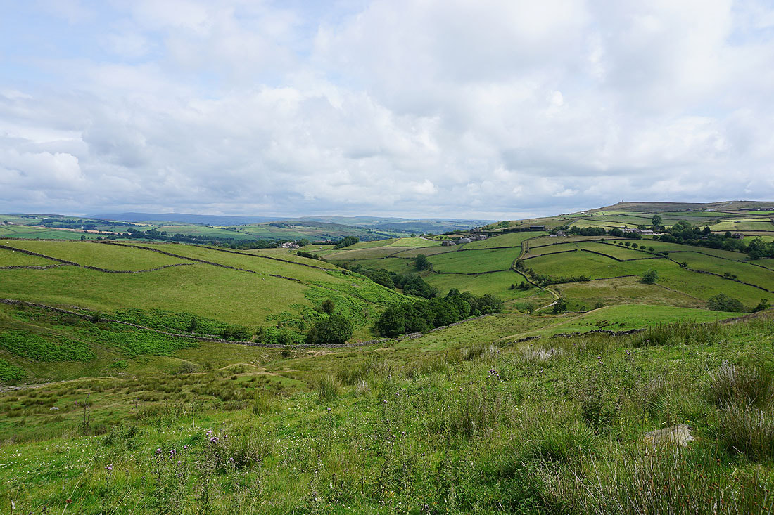
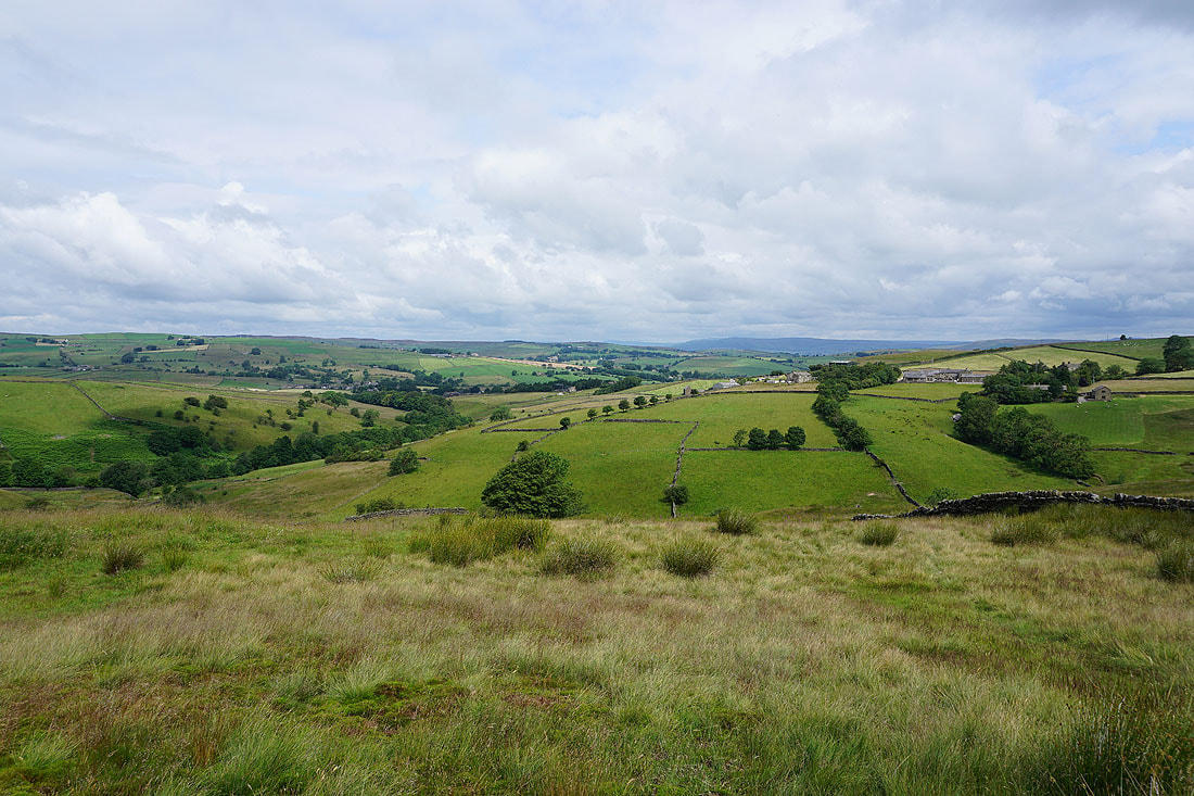
A couple more photos of the view across the moors around Cowling and this part of Airedale..
Onto access land with Pendle Hill in the distance to the west
and I can now make out the fells around Wharfedale in the distance
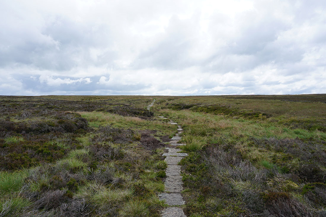
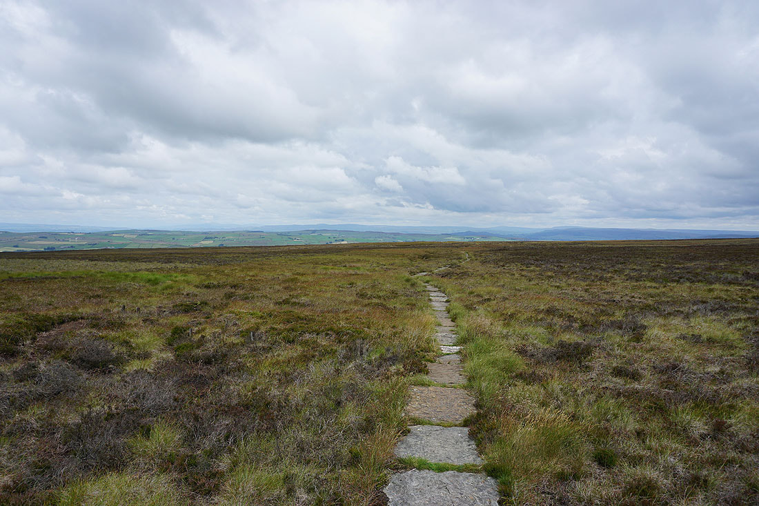
A flagged path ensures solid ground underfoot
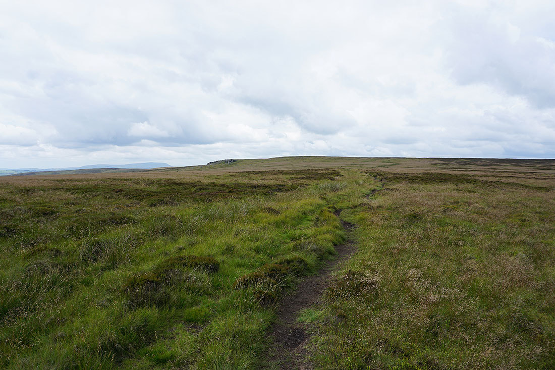
As the Pennine Way reaches the top of the moor the distant view includes Ingleborough, Penyghent, Buckden Pike and Great Whernside
and the moors around the Worth Valley appear ahead. I left the Pennine Way at this point to visit the trig point on Wolf Stones.
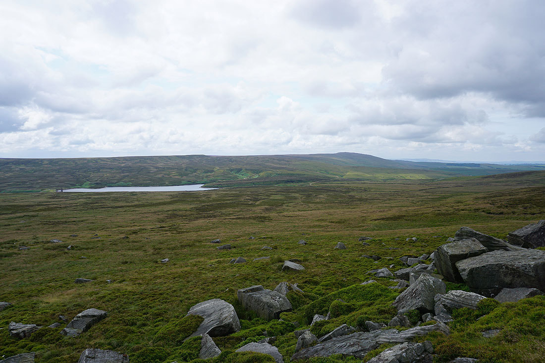
Watersheddles Reservoir and Boulsworth Hill from Wolf Stones
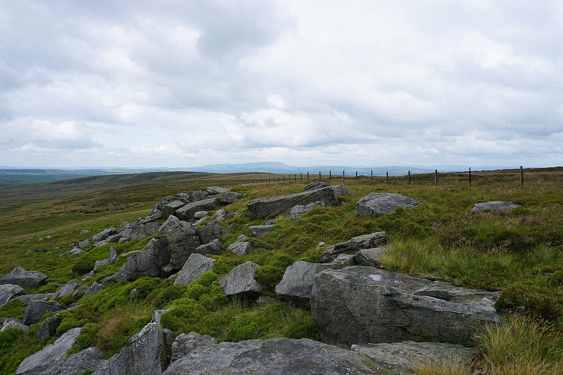
and Pendle Hill
The moors of Bronte Country
Looking back to Pendle Hill and Wolf Stones as I continue south on the Pennine Way
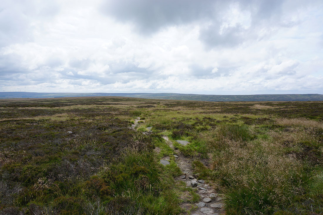
The Pennine Way heads down into the Worth Valley. I don't though..
..and take the path to Keighley Moor Reservoir, with a view across Airedale in front of me
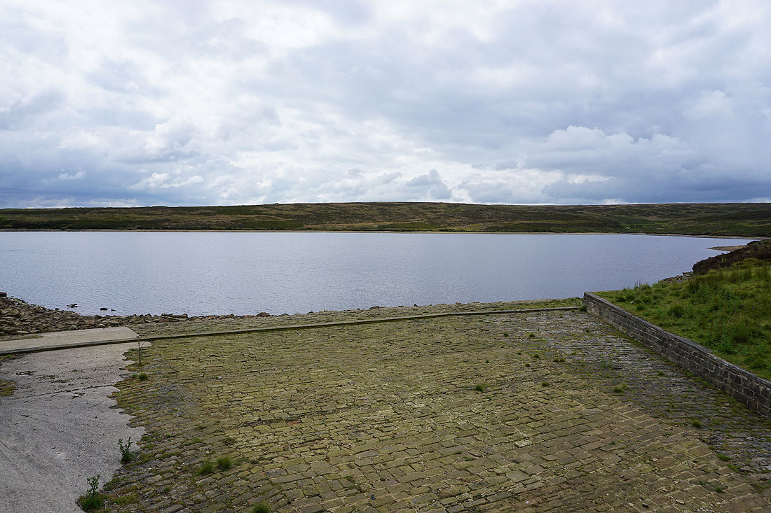
Keighley Moor Reservoir
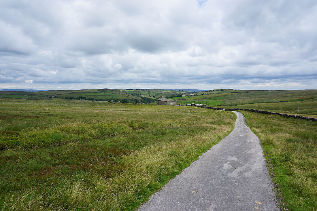
Heading down the reservoir access road to Morkin Bridge
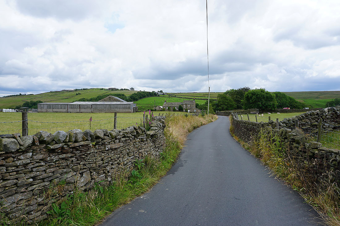
Looking back to Slitheroford Farm from Slippery Ford Lane
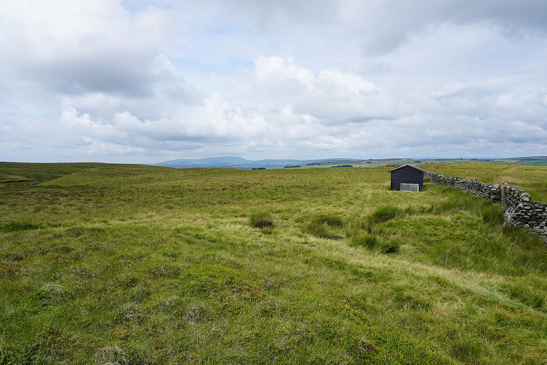
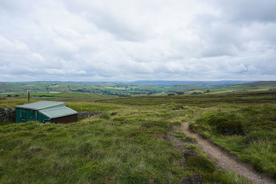
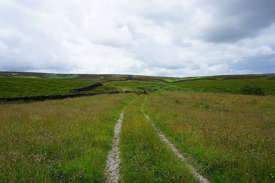
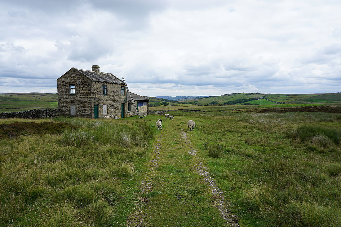
The footpath from Slippery Ford Lane onto Keighley Moor follows a clear track to a shooting box. It doesn't do it justice to call it a box, it's a house..
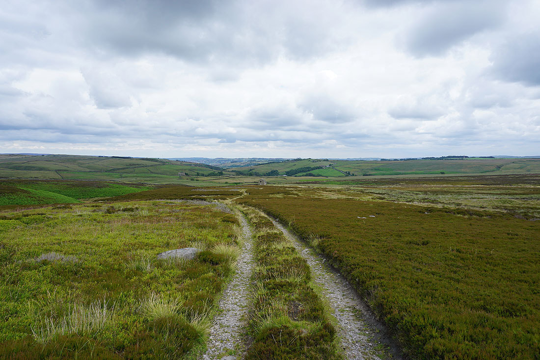
The track continues up onto the moor and I have a view down the valley of Newsholme Dean when I look back
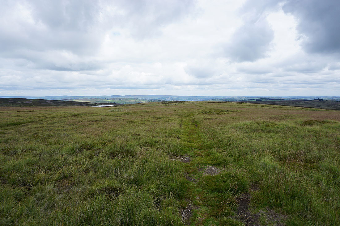
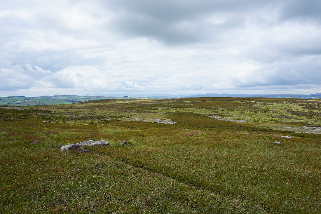
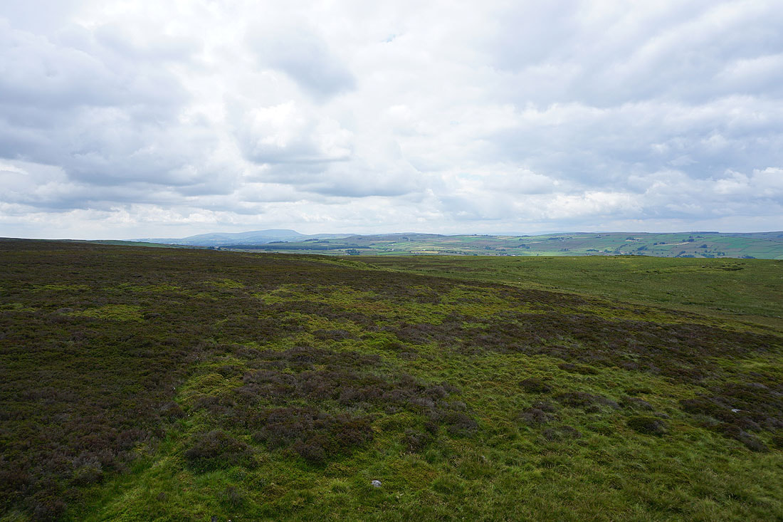
As I reach the top of the moor the view opens out to the north to the distant hills of Ingleborough, Penyghent and those around Wharfedale
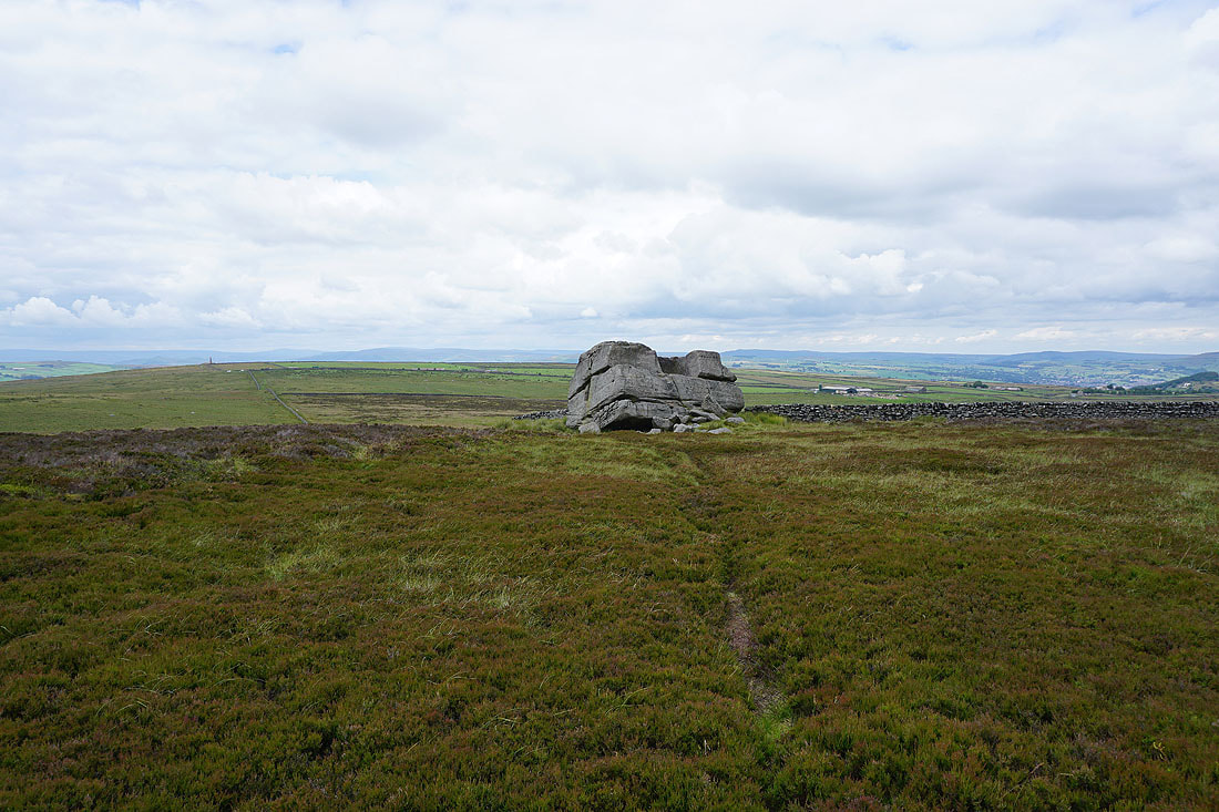
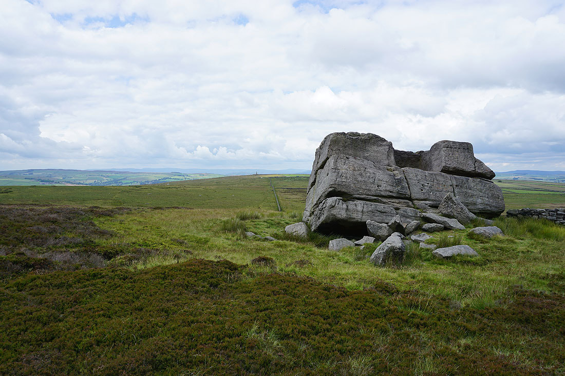
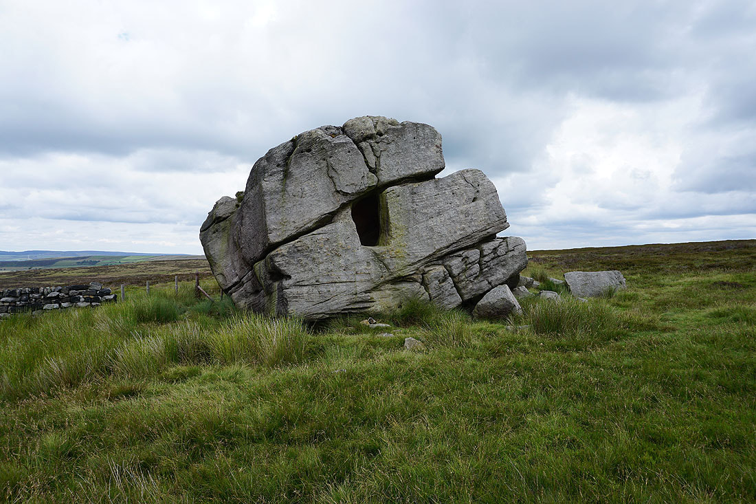
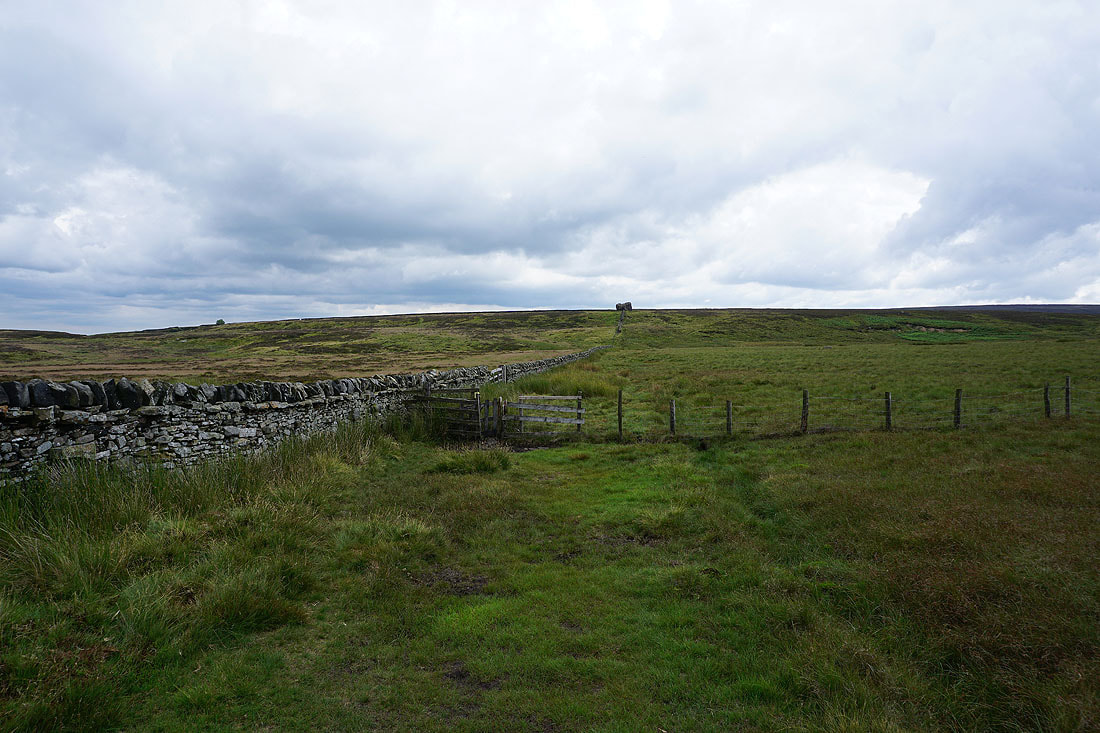
After a bit of pathless heather bashing I reach the Hitching Stone..
According to folklore this boulder was flung to its present location by a witch who lived on nearby Ilkley Moor. She was so annoyed at having her view spoilt by it that she "hitched" it up with her broomstick and threw it across the valley. The hole remains to show where the broomstick had been inserted.
On top of the Hitching Stone after a short scramble. I can make out Wainman's Pinnacle on Earl Crag to the north.
Pendle Hill from the top of the Hitching Stone
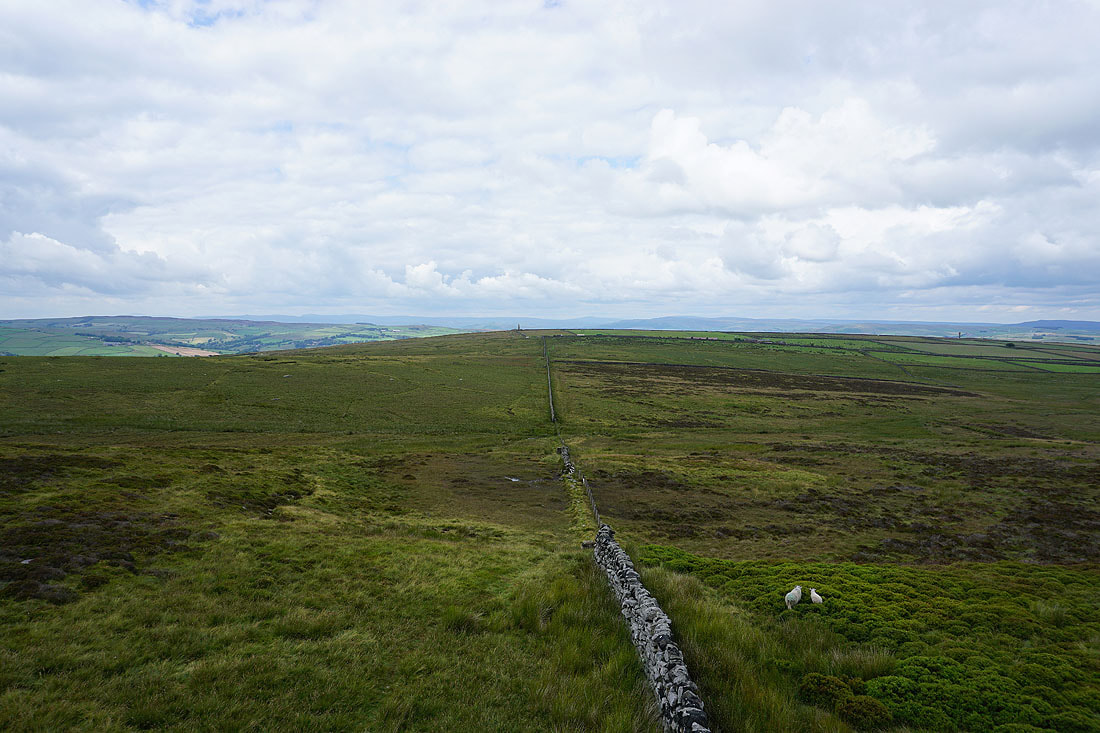
Looking back to the Hitching Stone as I head north across the moor
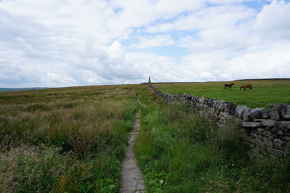
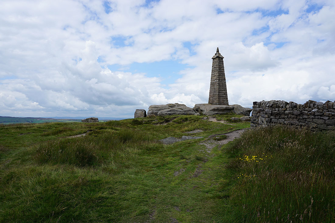
Approaching Wainman's Pinnacle on Earl Crag..
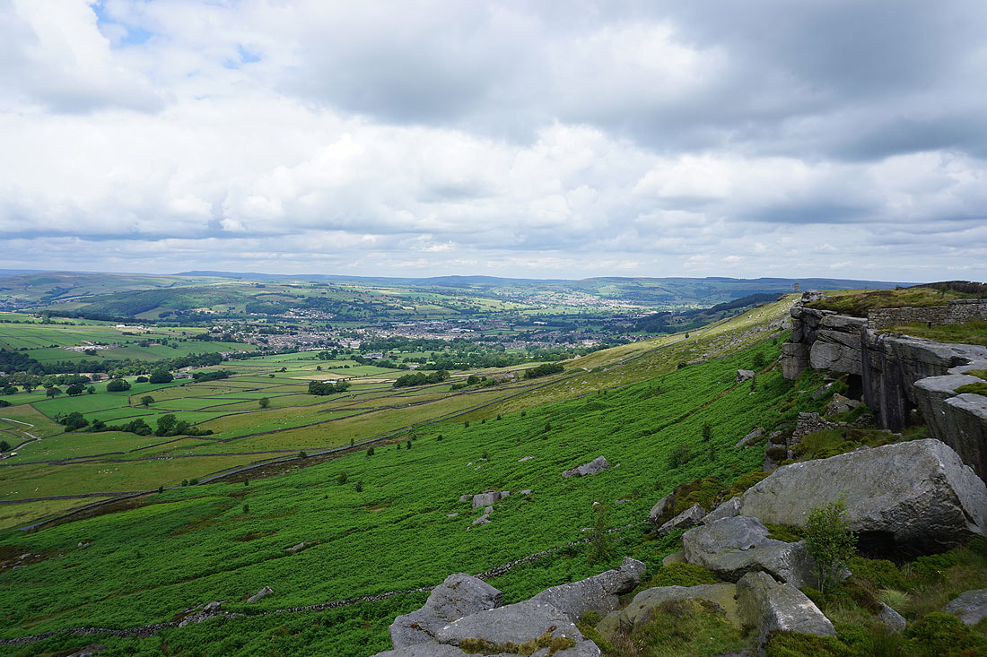
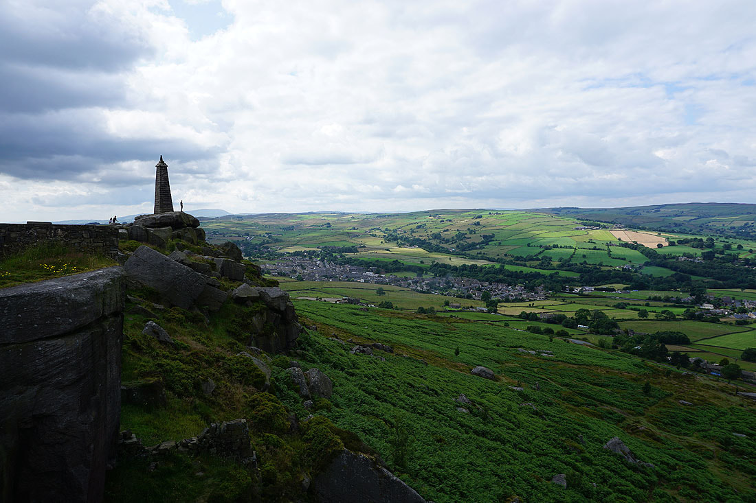
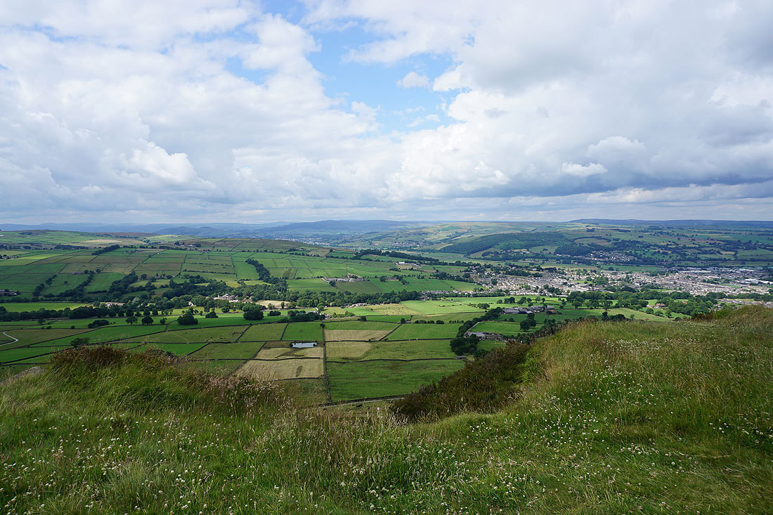
Moments later and I can take in the great view from Earl Crag. Looking east to Cross Hills, Sutton-in-Craven, Airedale and Silsden.
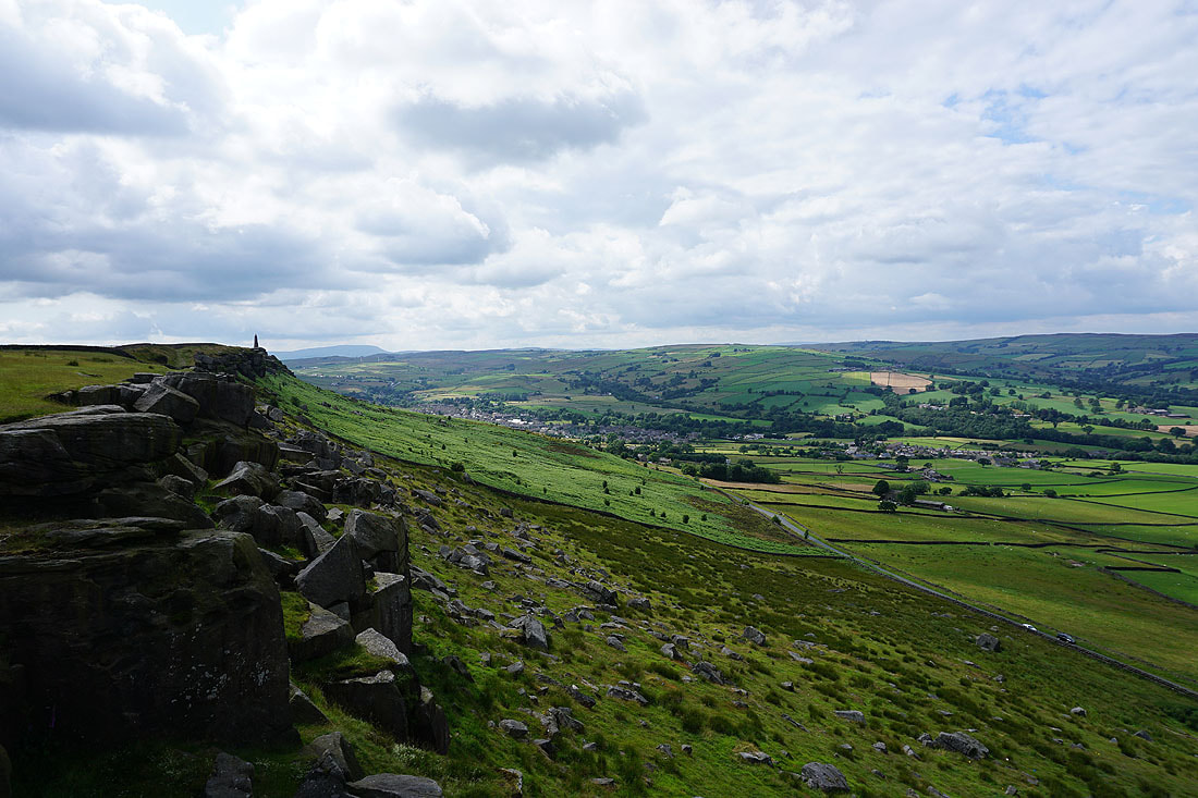
Wainman's Pinnacle with Cowling in the valley below
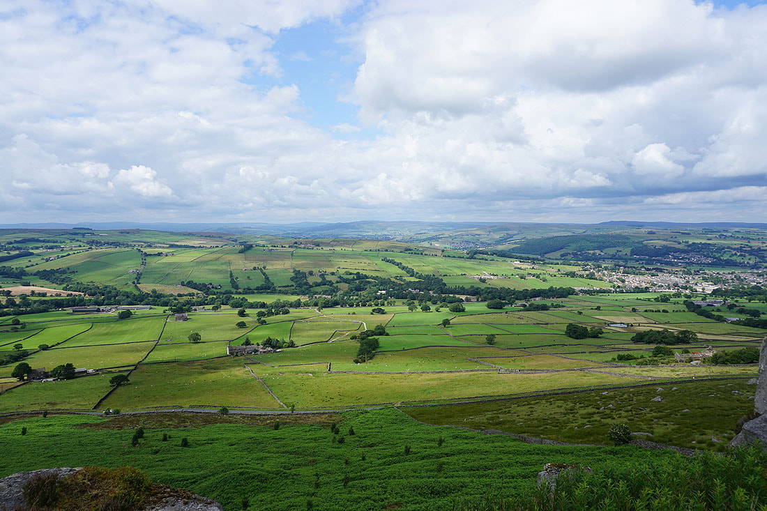
There are fantastic views to the north of the moorland surrounding Airedale
Pendle Hill in the distance next to Wainman's Pinnacle
Another shot looking north and I can make out Buckden Pike way in the distance
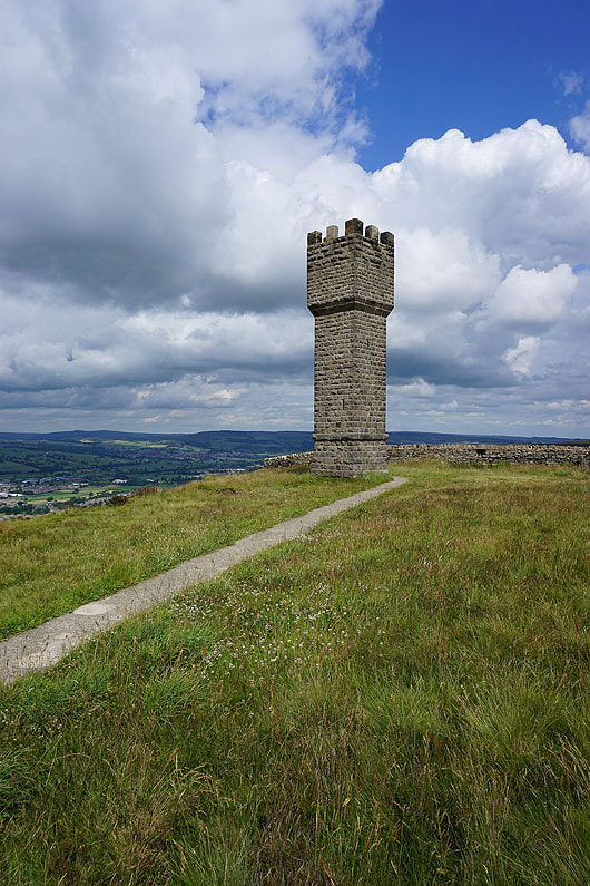
Approaching Lund's Tower at the eastern end of Earl Crag..
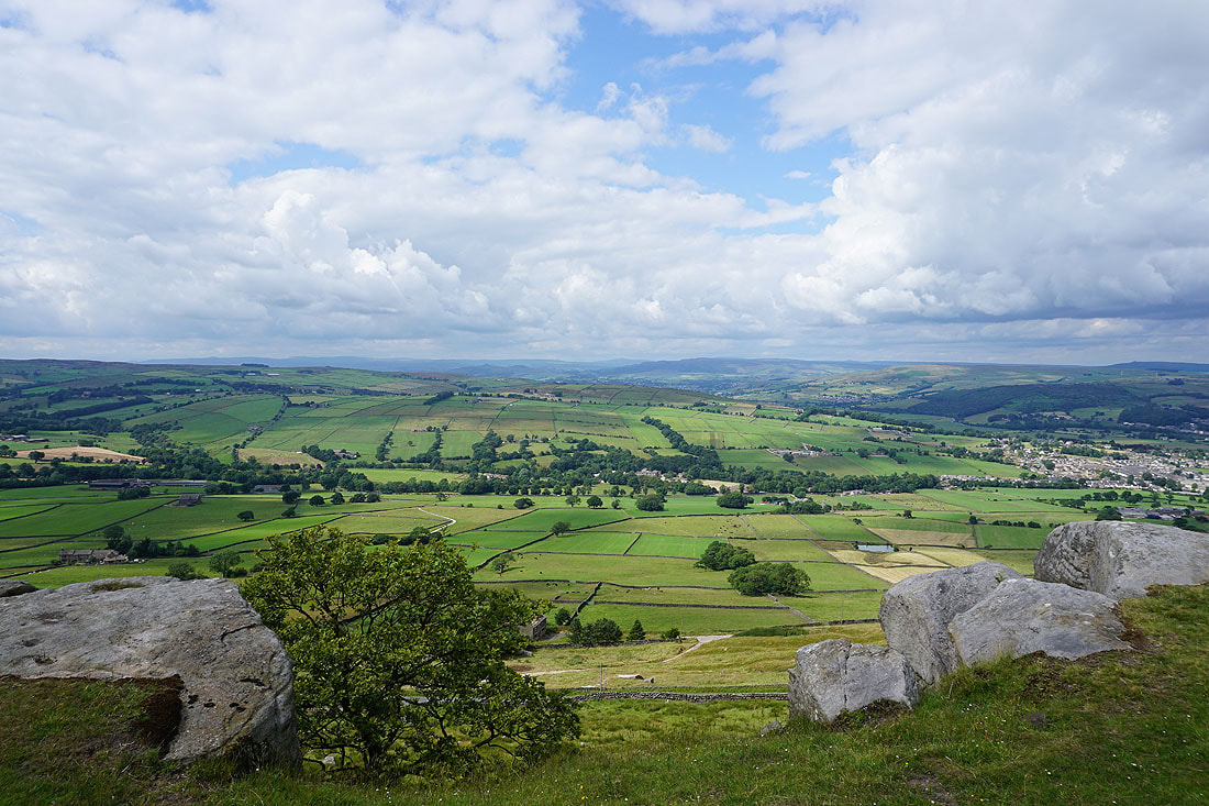
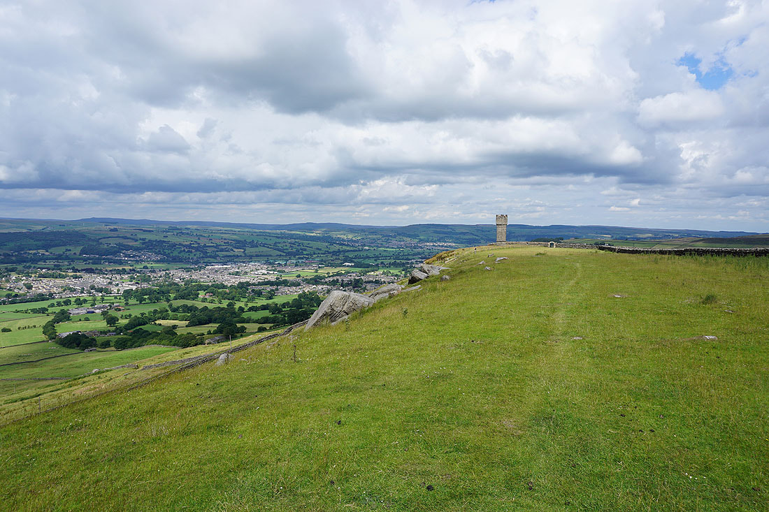
The view from this end of the crag is just as good
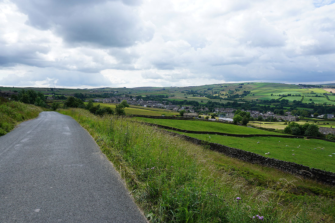
Cowling as I walk down the road below Earl Crag
Sunshine on Wainman's Pinnacle
Walking down Fold Lane into Cowling at the end of the walk
