13th June 2011 - Pendle Hill
Walk Details
Distance walked: 5.1 miles
Total ascent: 1265 ft
OS map used: OL21 - South Pennines
Time taken: 2.5 hrs
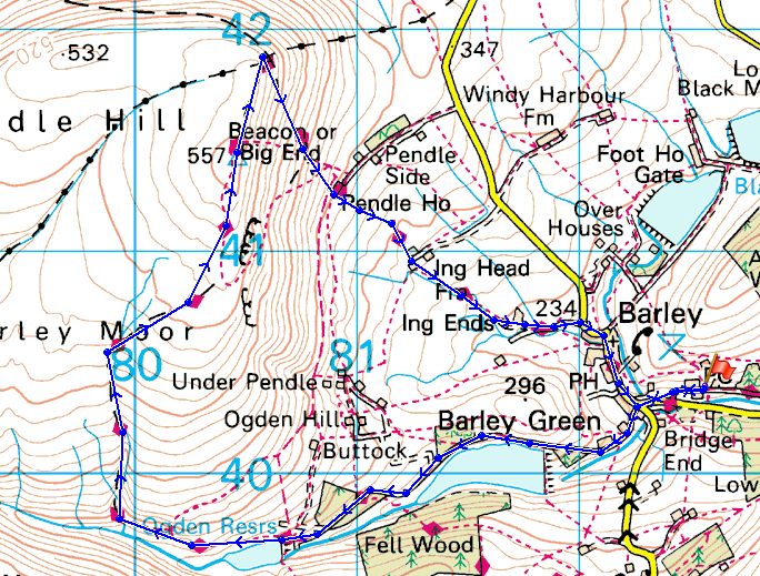
Route description: Barley-Lower Ogden Reservoir-Upper Ogden Reservoir-Boar Clough-Pendle Hill-Pendle House-Ing Head Farm-Ing Ends-Barley
A walk up Pendle Hill from Barley.
Total ascent: 1265 ft
OS map used: OL21 - South Pennines
Time taken: 2.5 hrs
Route description: Barley-Lower Ogden Reservoir-Upper Ogden Reservoir-Boar Clough-Pendle Hill-Pendle House-Ing Head Farm-Ing Ends-Barley
A walk up Pendle Hill from Barley.
Route map
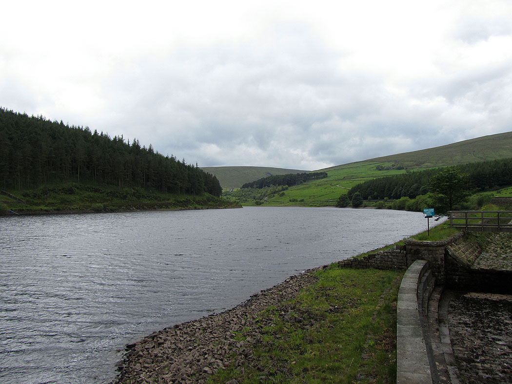
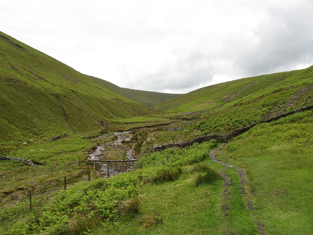
Lower Ogden Reservoir. After setting out from Barley I made my way up Ogden Clough.
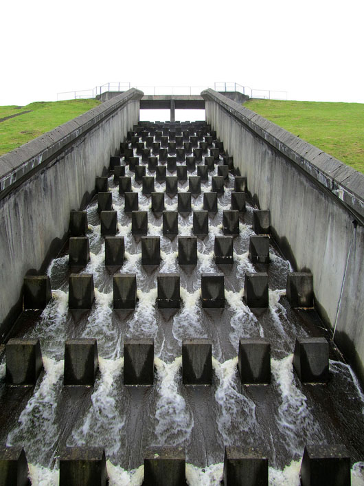
Water flowing over the dam at Upper Ogden Reservoir
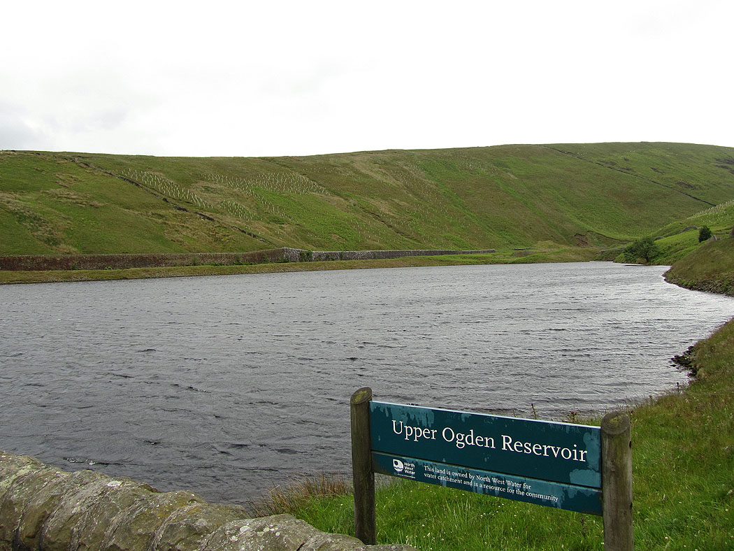
Ogden Clough
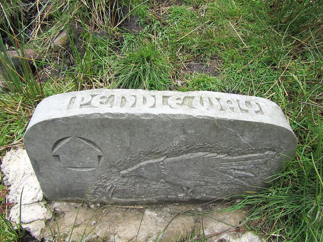
At this waymark it's uphill by Boar Clough then to the summit
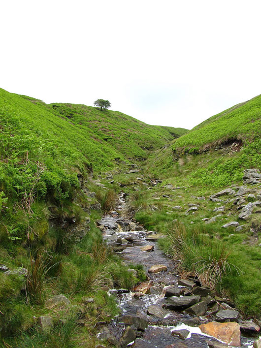
Boar Clough
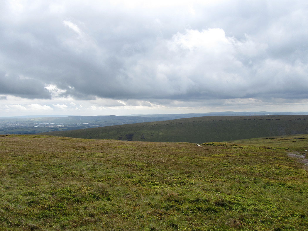
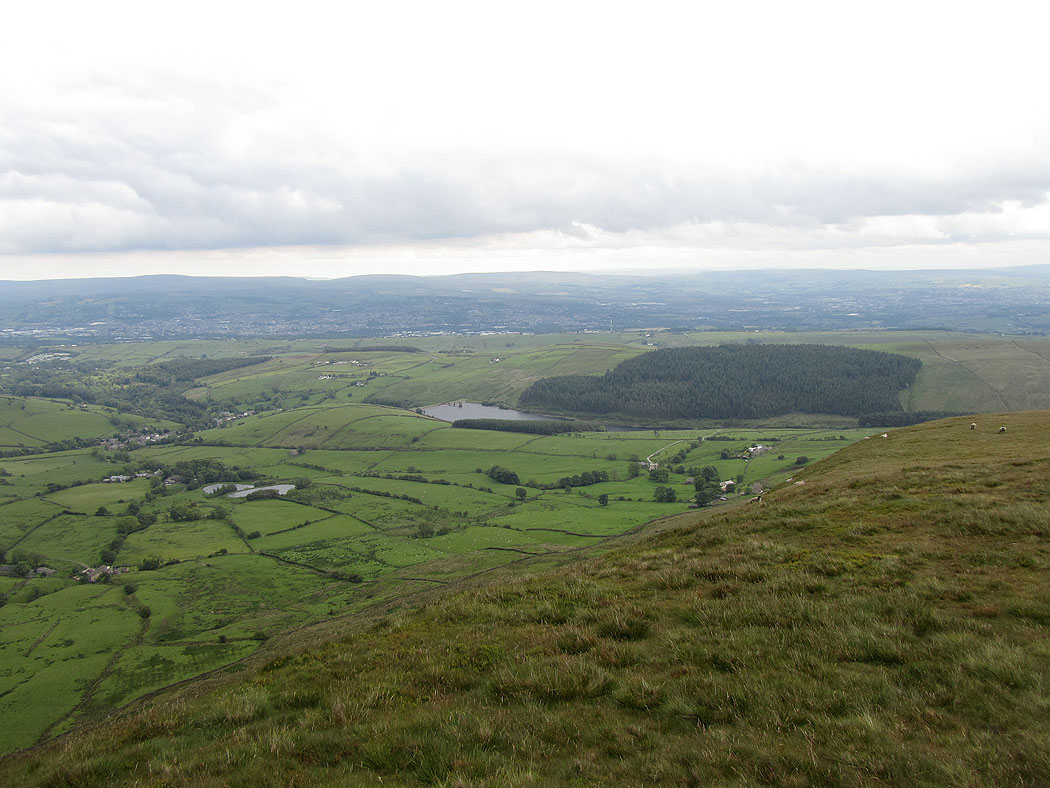
Higher up now with a view to the West Pennine Moors
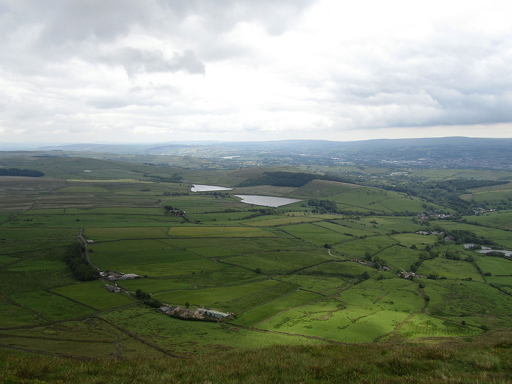
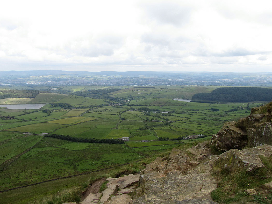
Lower Ogden Reservoir
Black Moss Reservoirs
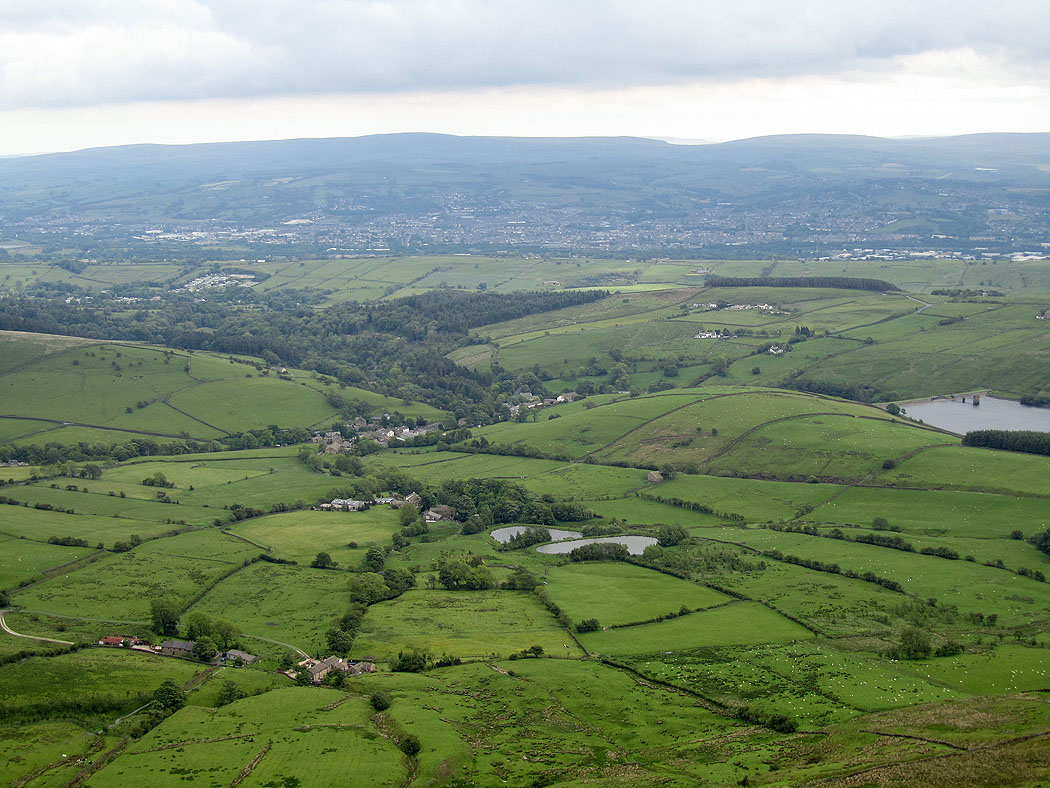
The village of Barley
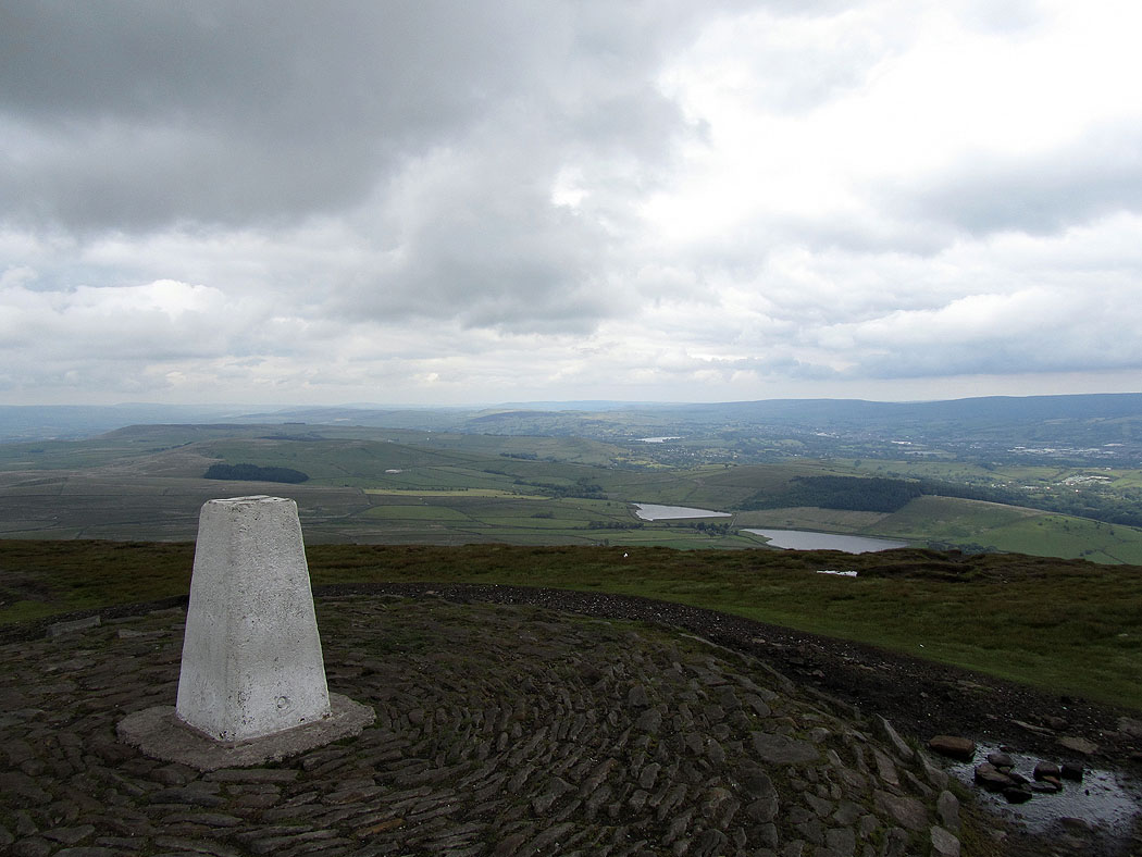
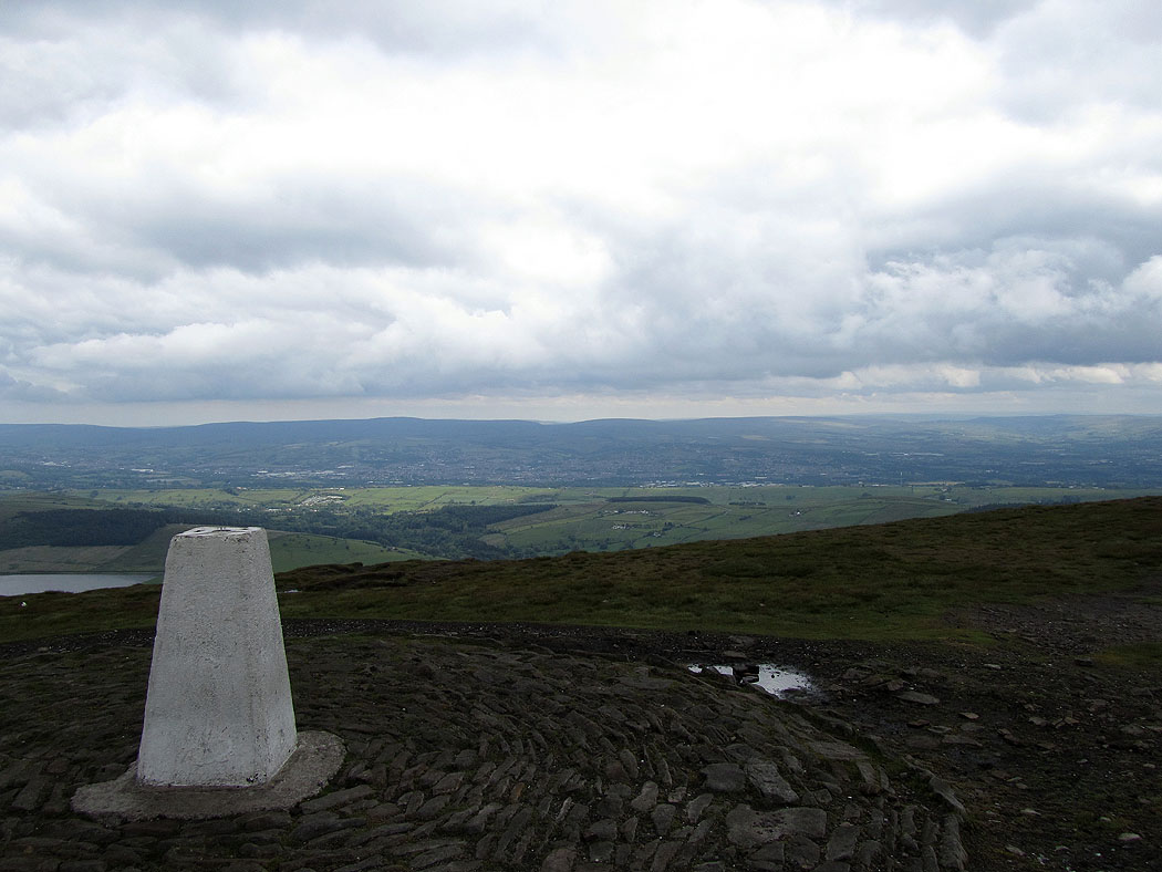
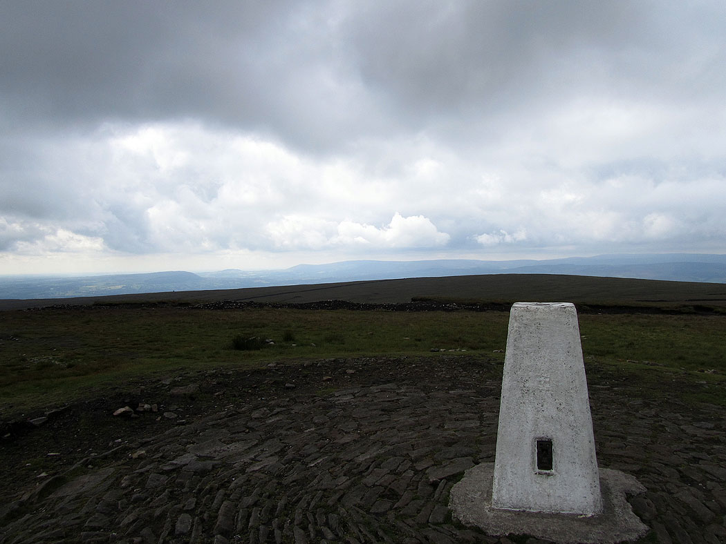
On the summit of Pendle Hill
Boulsworth Hill and the South Pennines in the distance
The Forest of Bowland in the distance
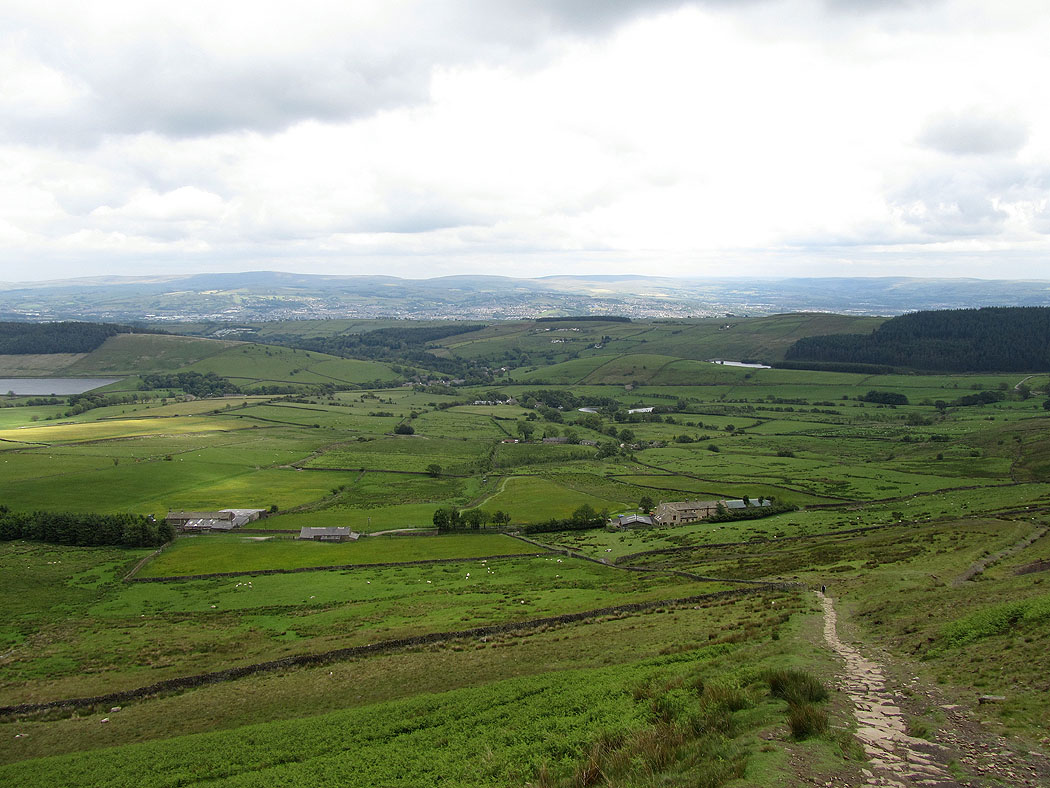
On the path down..
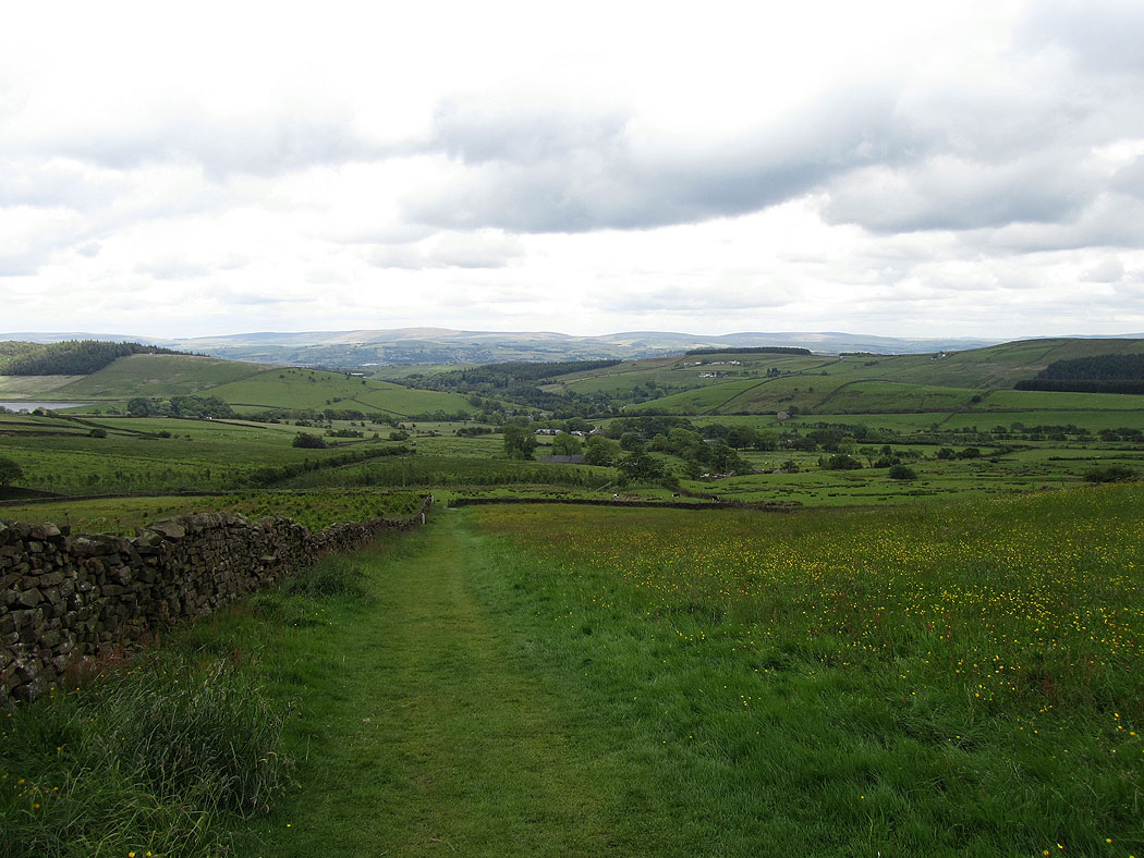
Heading back to Barley
The steep path across the eastern side of the hill
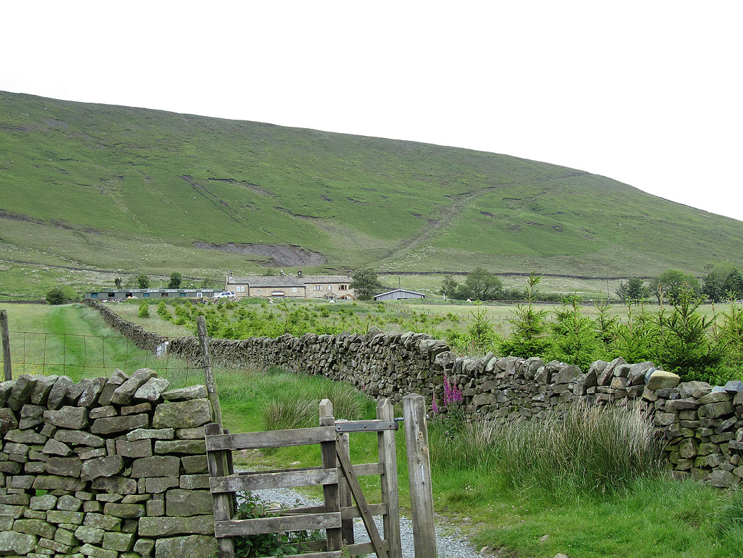
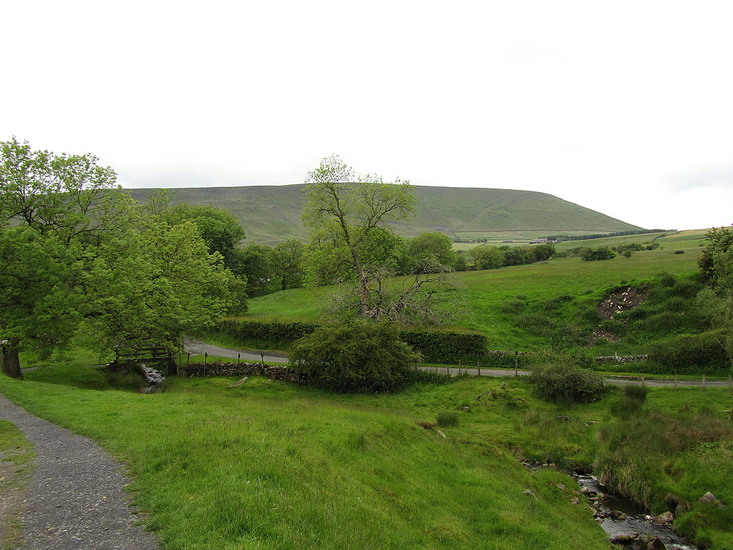
Pendle Hill
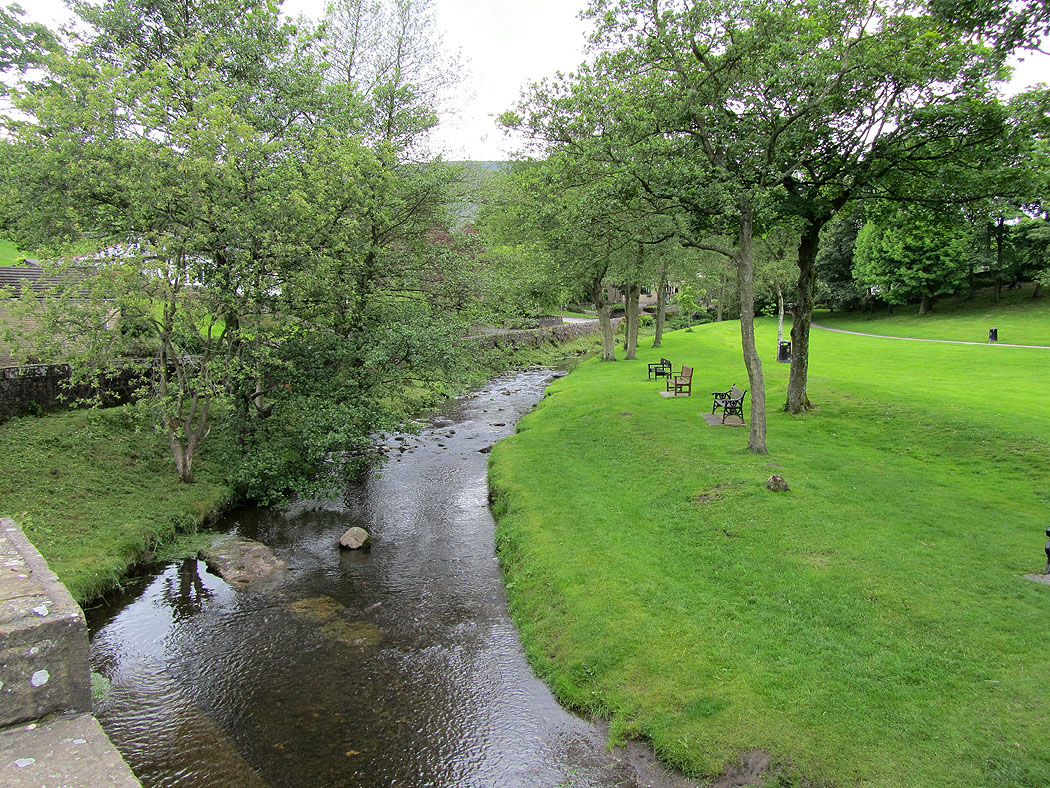
Back in Barley
