13th March 2011 - A round of Mardale
Walk Details
Distance walked: 8.9 miles
Total ascent: 3192 ft
OS map used: OL5 - The English Lakes, North-eastern area
Time taken: 6 hrs
Route description: Mardale Head-The Rigg-Riggindale-Kidsty Howes-Kidsty Pike-High Raise-Rampsgill Head-High Street-Mardale Ill Bell-Nan Bield Pass-Harter Fell-Gatescarth Pass-Mardale Head
Kidsty Pike, High Raise, Rampsgill Head, High Street and Harter Fell from Mardale.
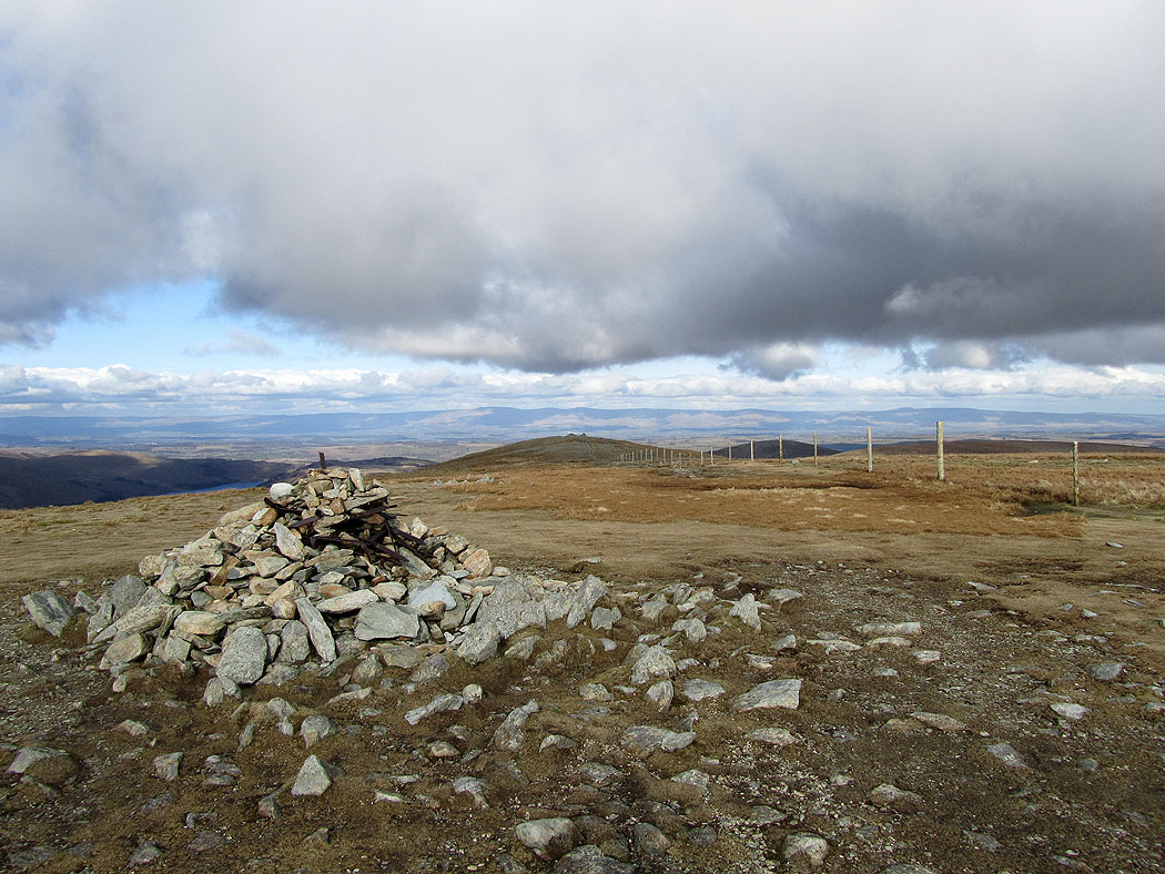
Route map
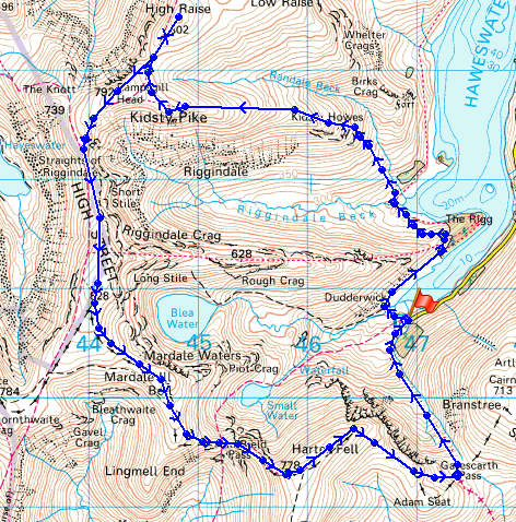
© Crown copyright. All rights reserved. License number PU 100034184.
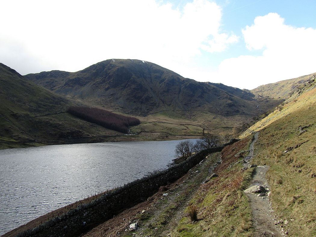
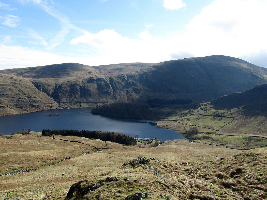
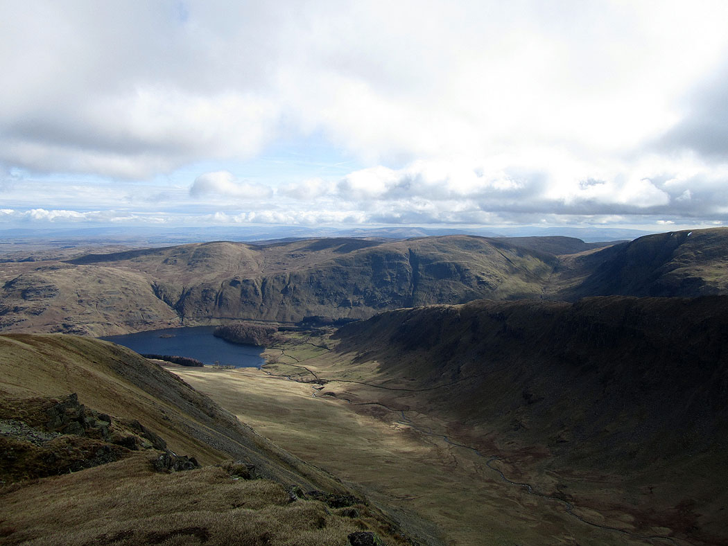
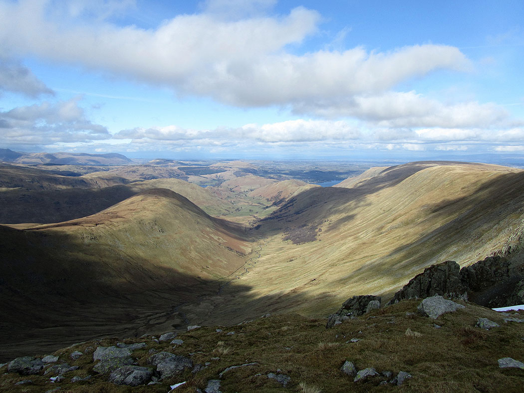
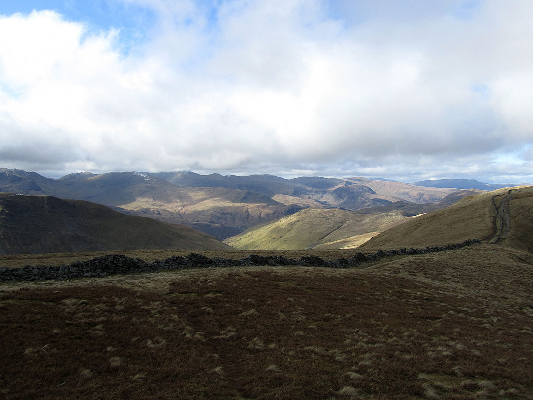
Looking back to the head of Haweswater with Harter Fell behind
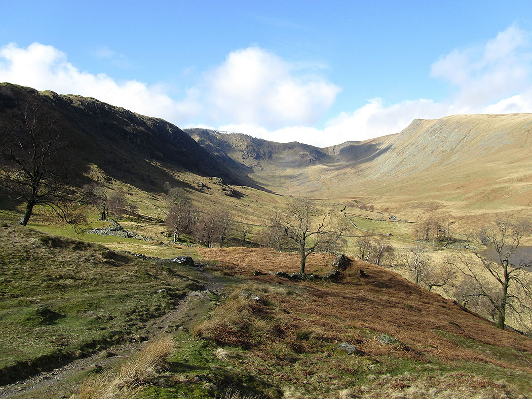
Riggindale ahead with the pointed Kidsty Pike on the right
Castle Crag

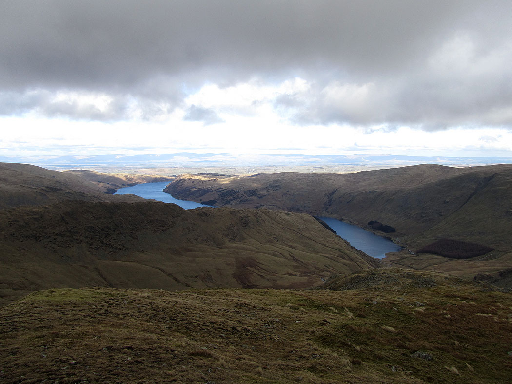
Haweswater
Selside Pike, Branstree and Haweswater from the route up to Kidsty Pike
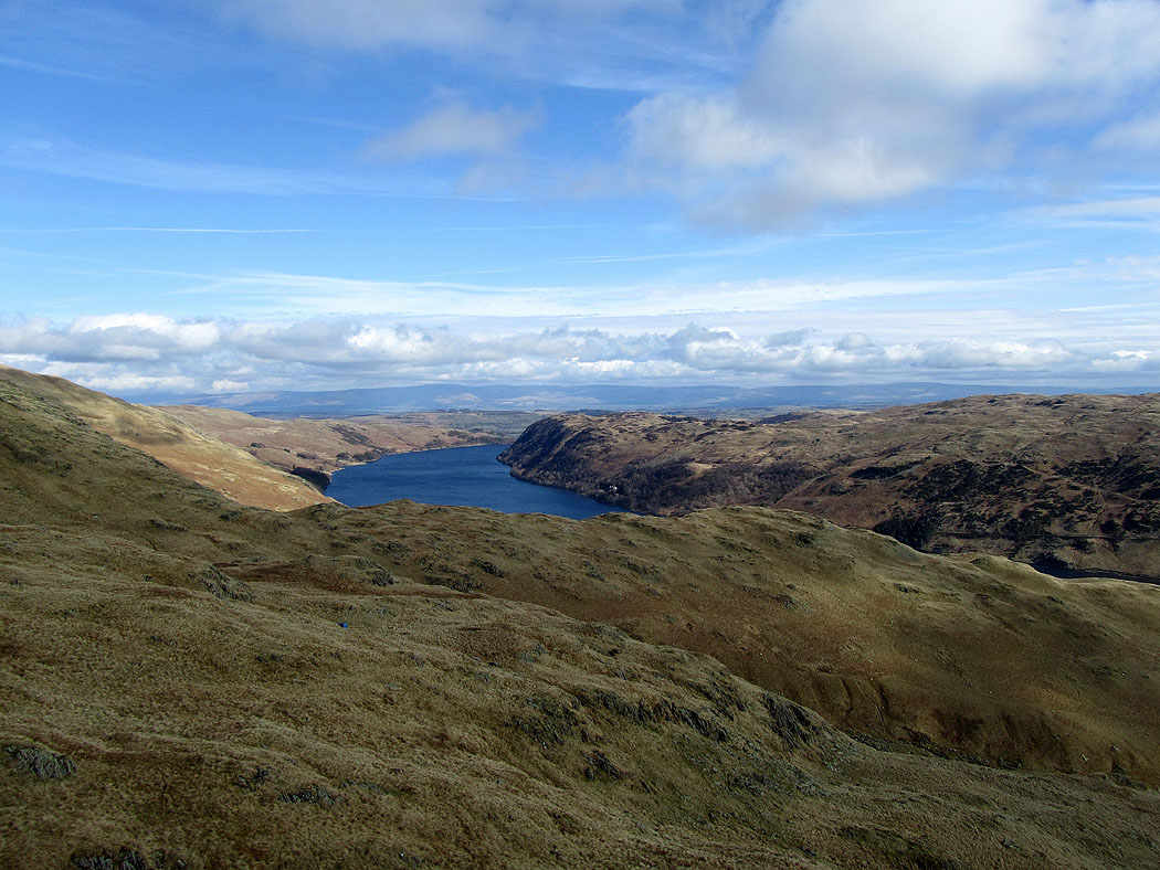
The North Pennines in the distance above Haweswater
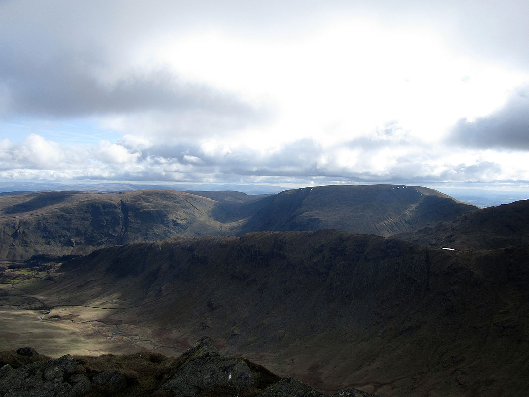
The view from Kidsty Pike. Rough Crag across Riggindale with Branstree and Harter Fell behind.
Eastern fells above the Straits of Riggindale
Riggindale from Kidsty Pike
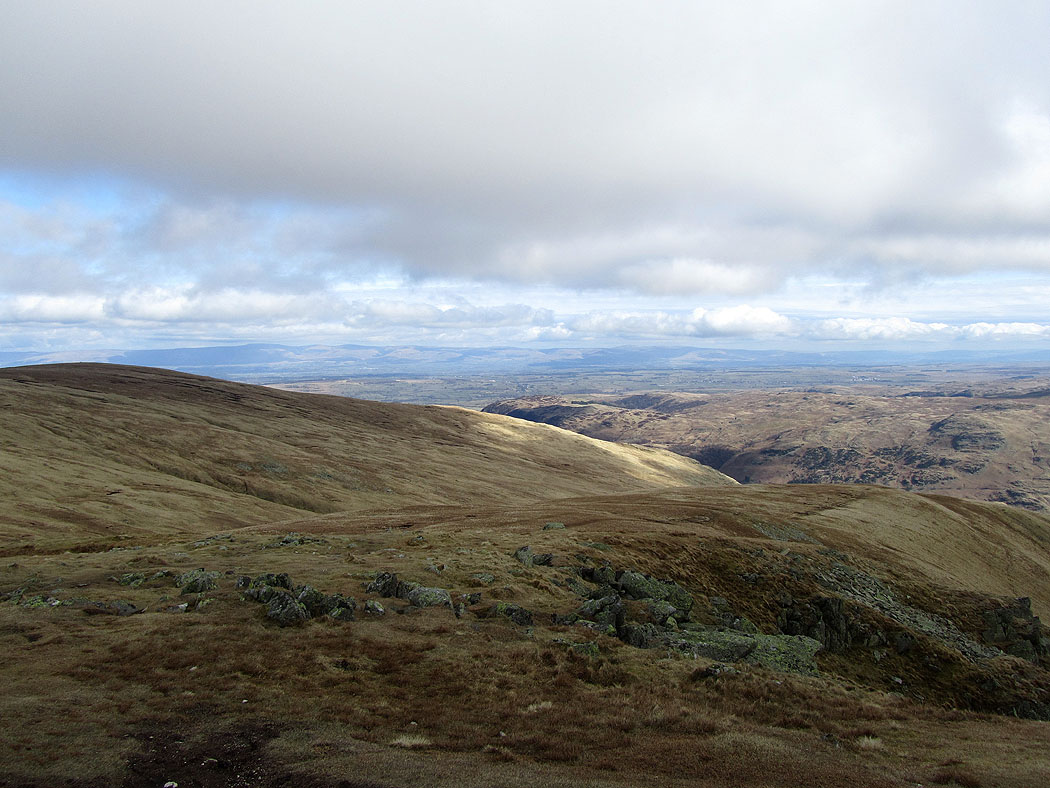
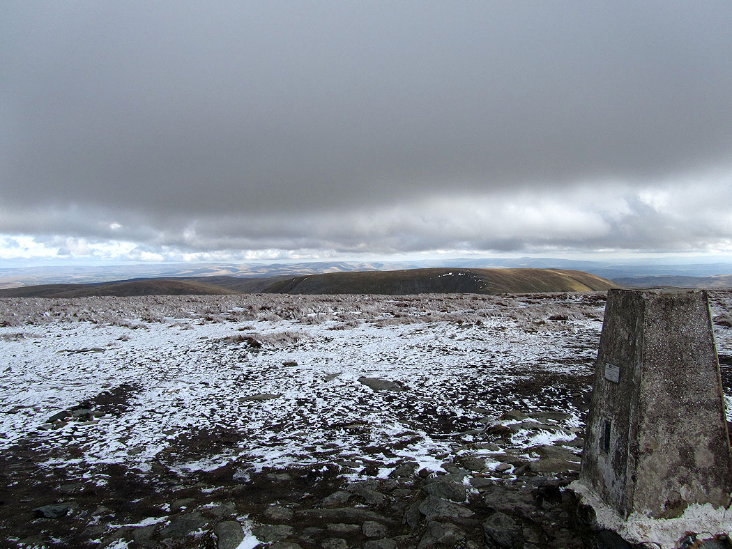
Cross Fell and the North Pennines in the distance
and again but from High Raise
Looking north to Loadpot Hill
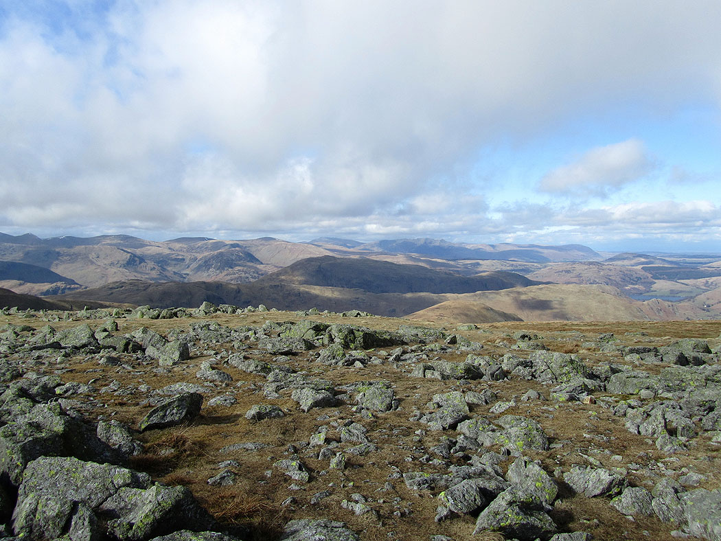
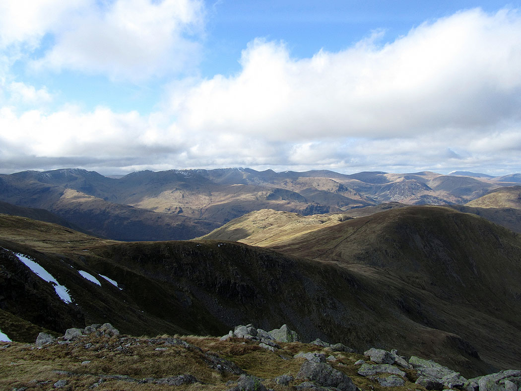
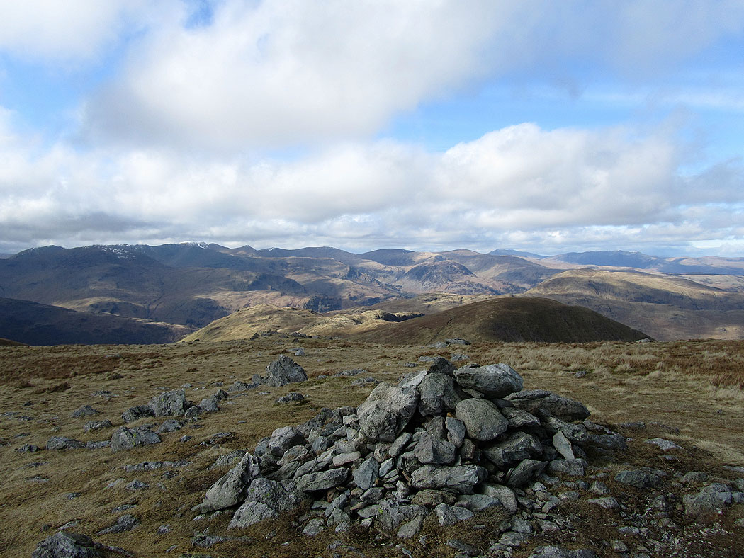
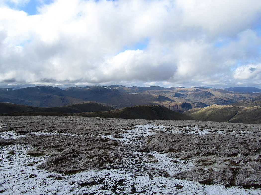
The northern half of the eastern fells, Skiddaw and Blencathra in the distance from High Raise
Helvellyn and the Dodds
Selside Pike and Branstree from High Raise
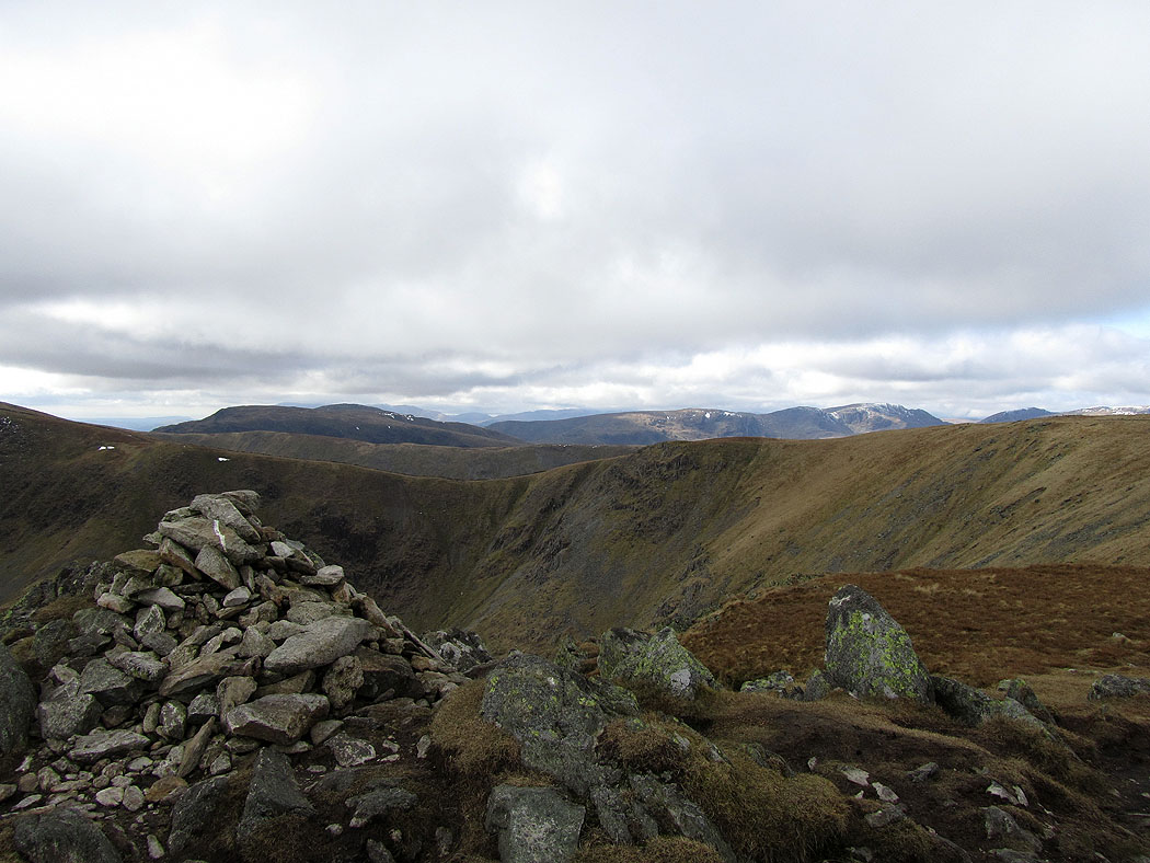
Rest Dodd and the Nab from Rampsgill Head
Helvellyn and the Dodds
Looking down Ramps Gill to Martindale
The Helvellyn range from the summit of Rampsgill Head
Riggindale and Rough Crag from Short Stile on the route up to High Street
and turning round to look across to Helvellyn
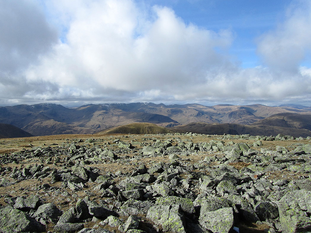
Helvellyn range from High Street
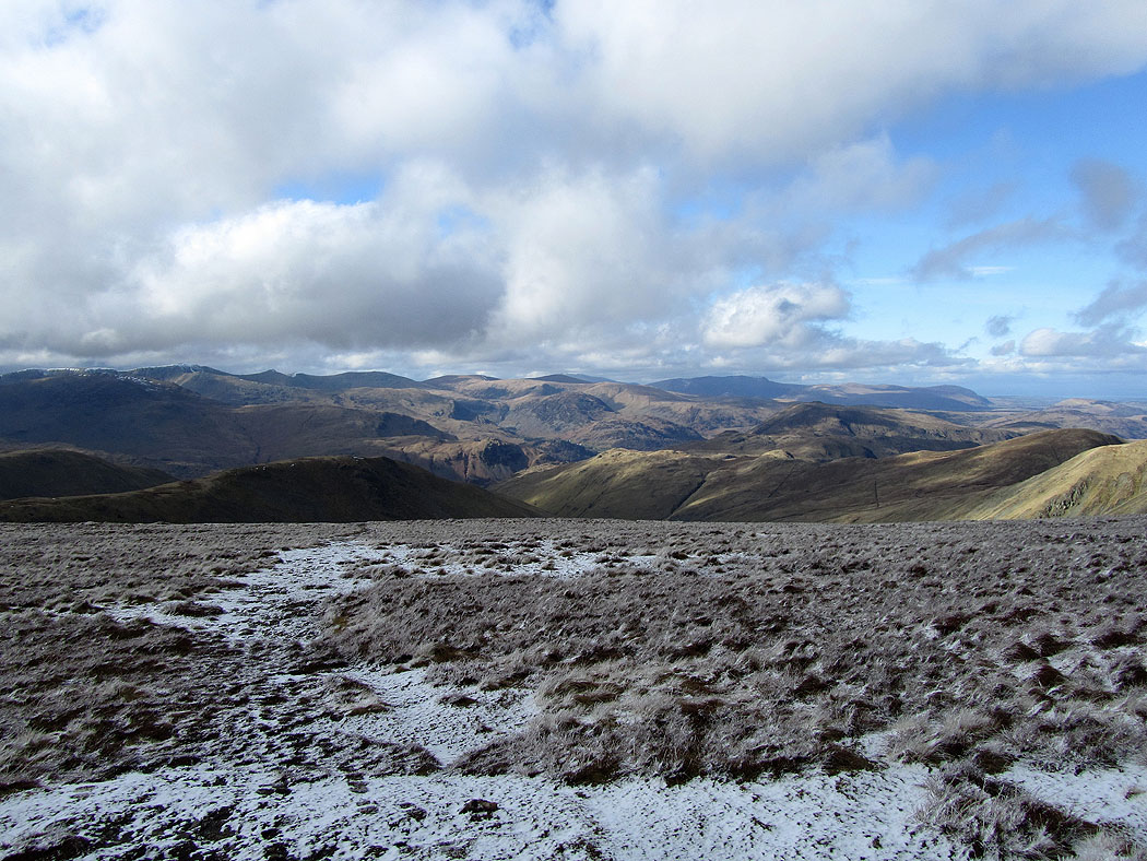
The northern half of the eastern fells with Blencathra in the distance from High Street
Fairfield and Helvellyn from High Street summit
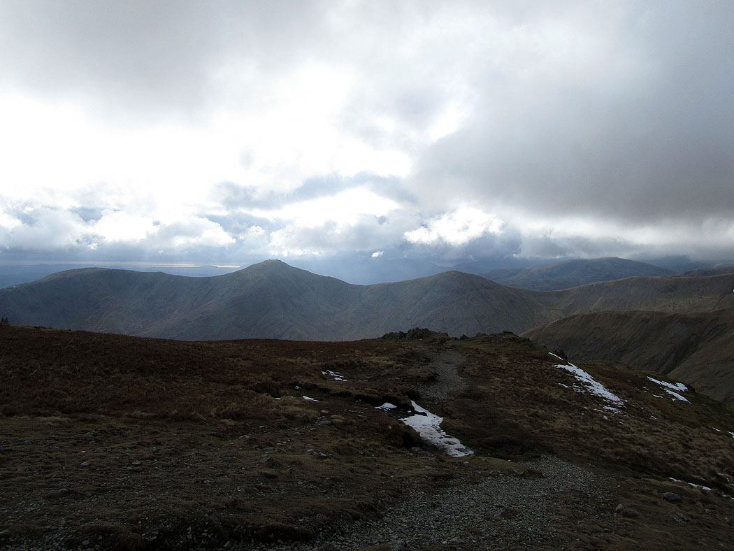
Harter Fell from High Street
Haweswater from Mardale Ill Bell
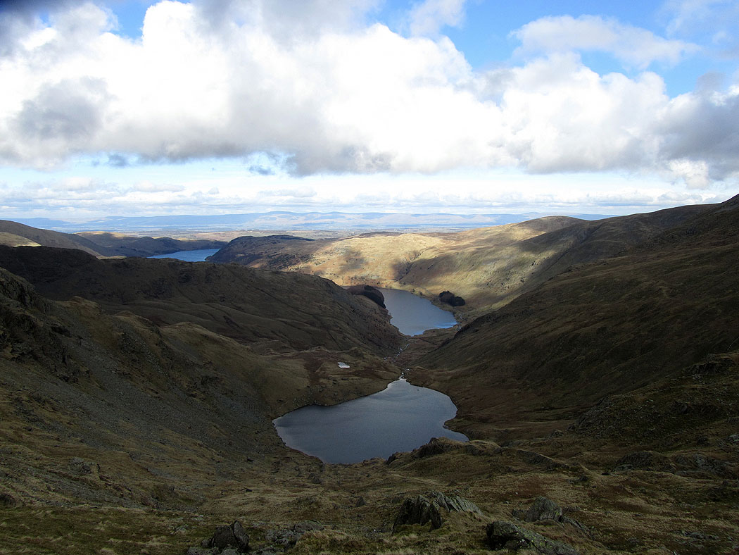
Small Water and Haweswater
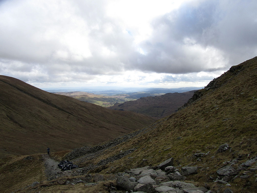
Kentmere on the way down to the Nan Bield Pass
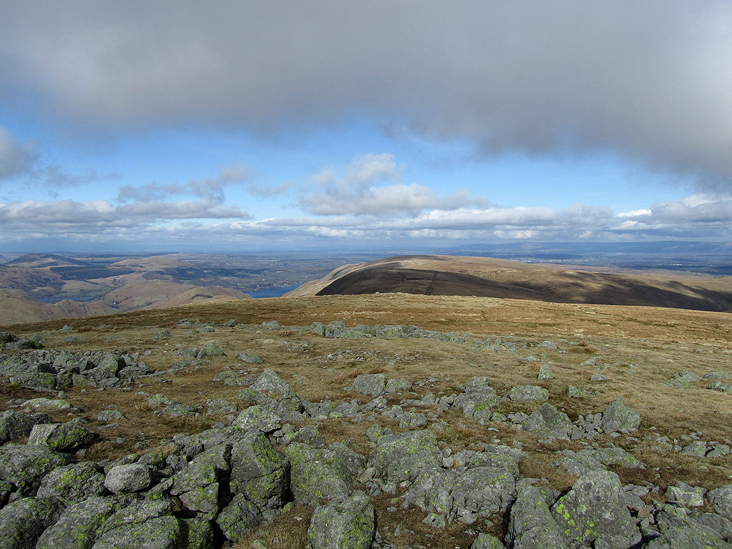
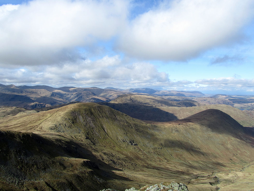
The Ill Bell ridge from Harter Fell
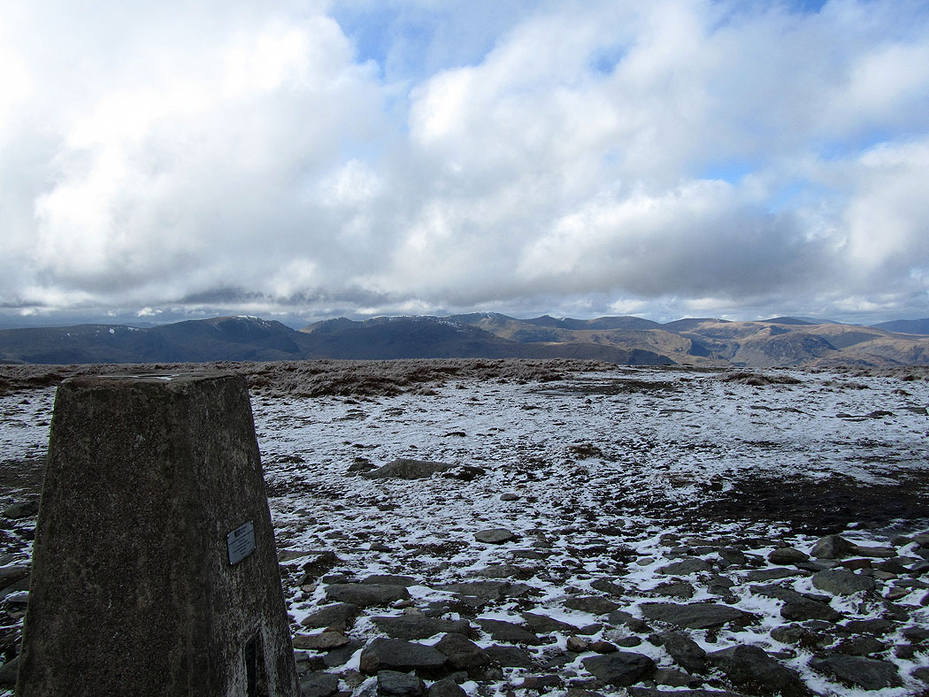
High Street from Harter Fell
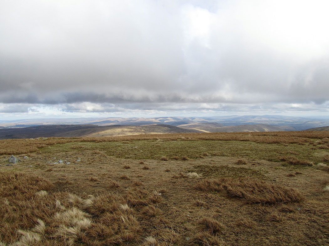
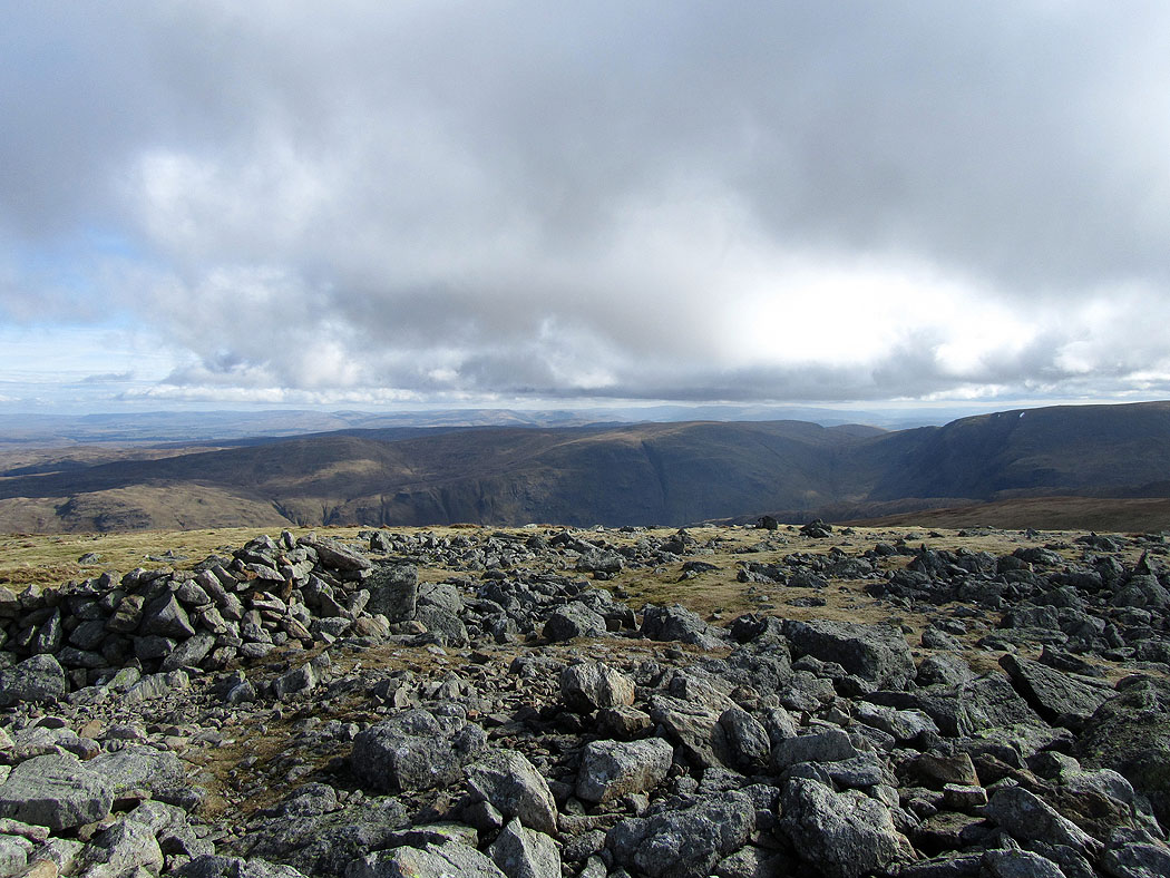
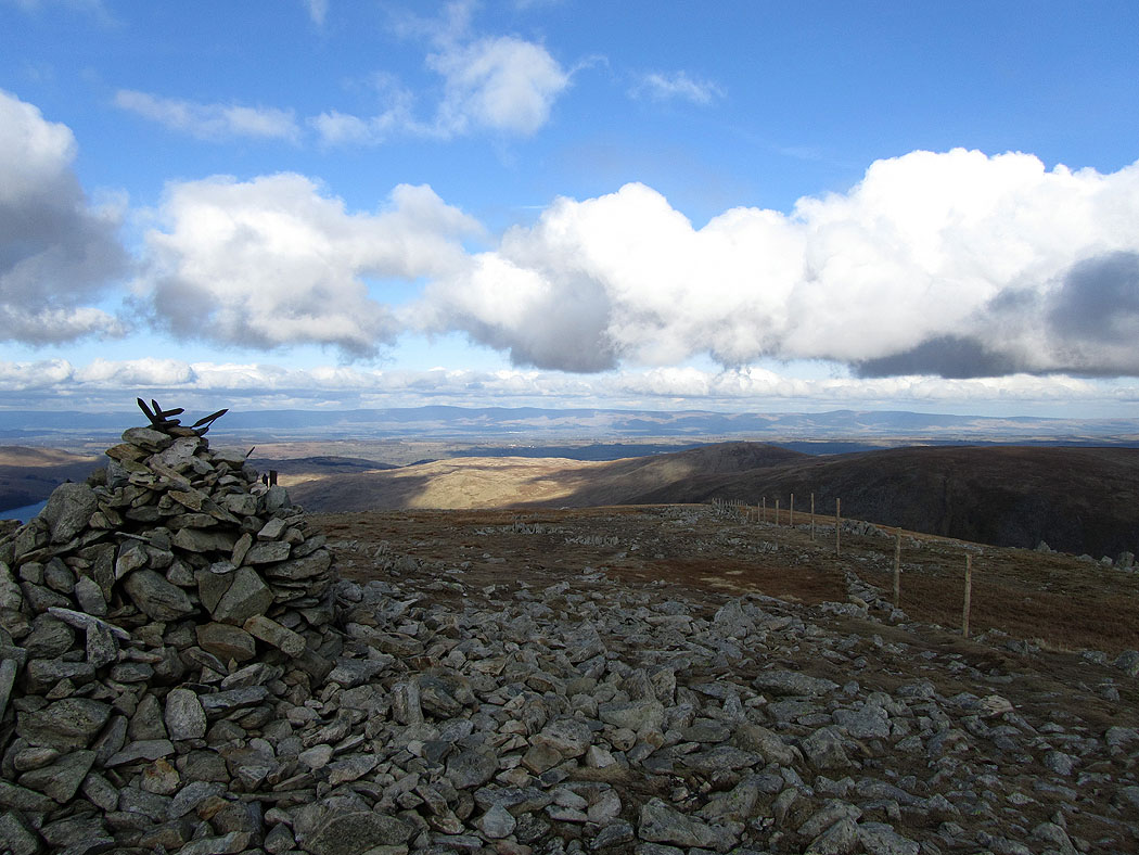
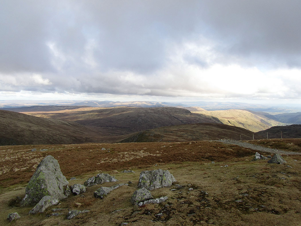
Looking across to the Howgills and the fells of the Yorkshire Dales from Harter Fell
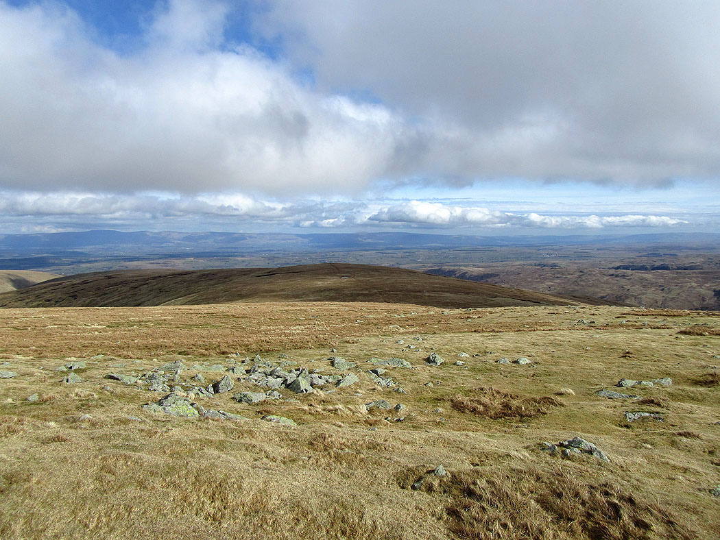
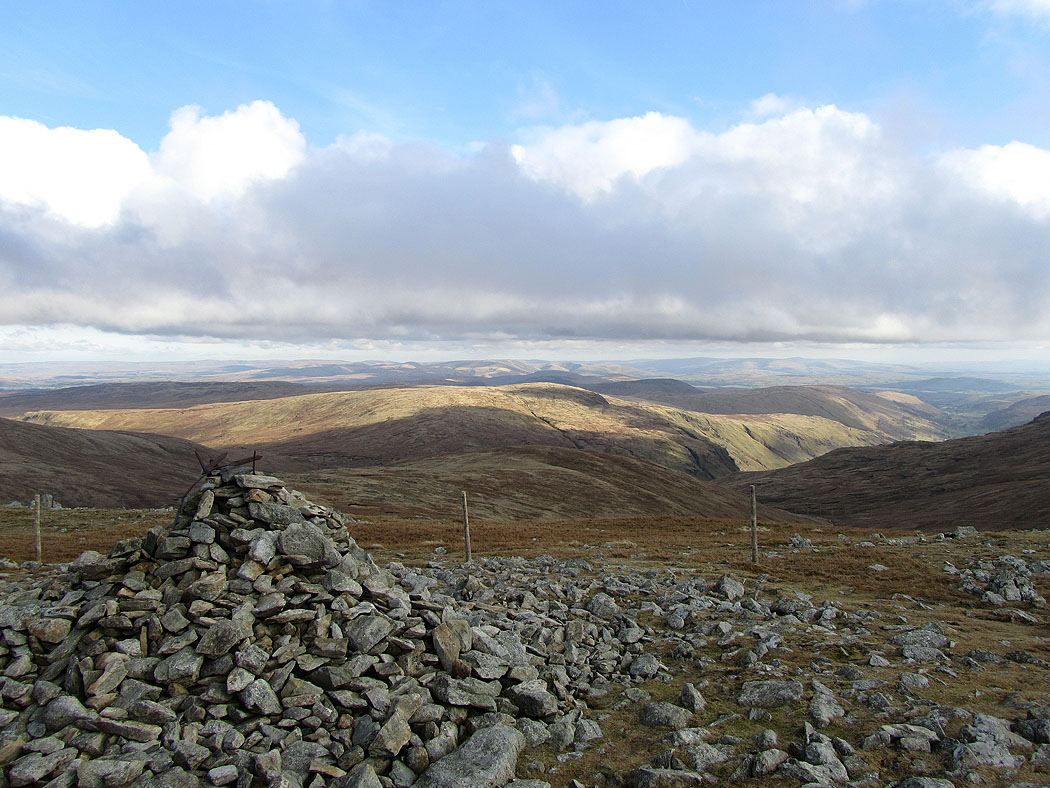
The North Pennines in the distance from Harter Fell
The Howgill Fells and Ingleborough in the distance with Tarn Crag in front
Cross Fell and the North Pennines from Harter Fell
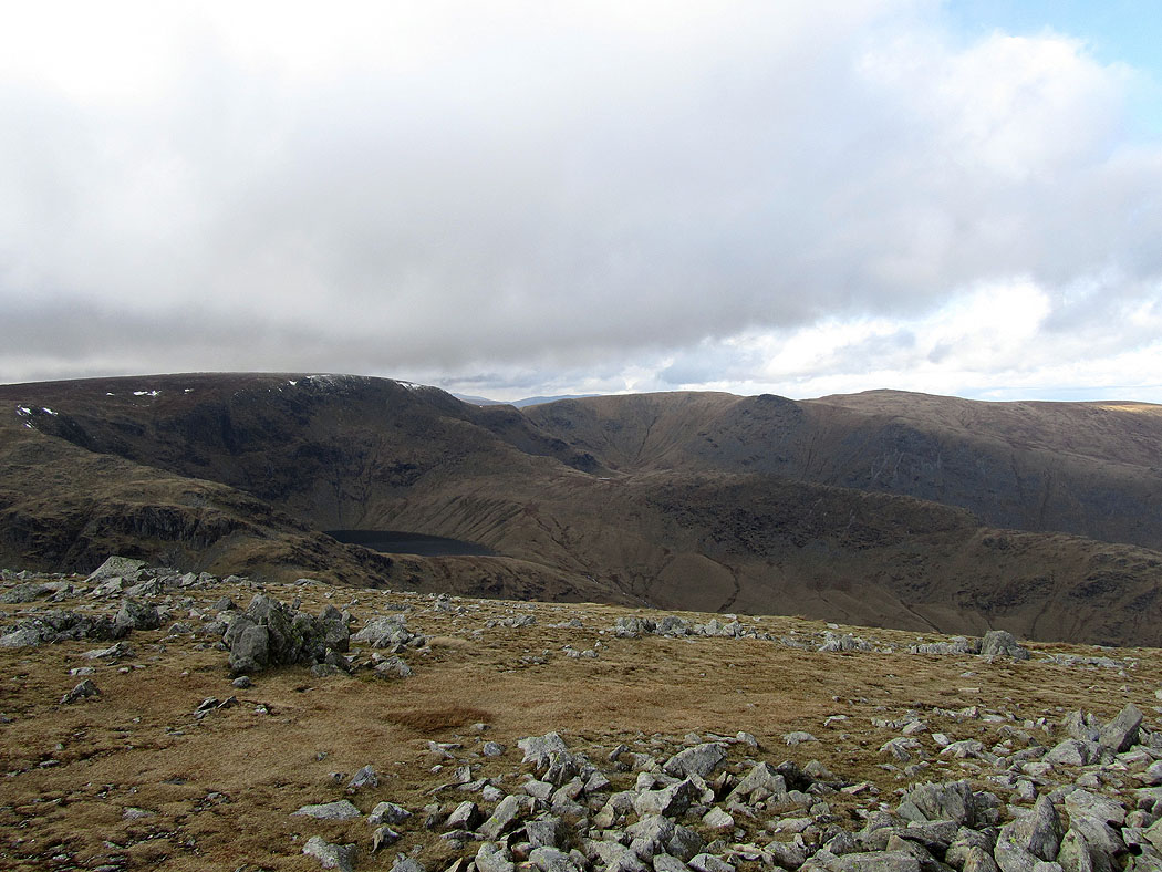
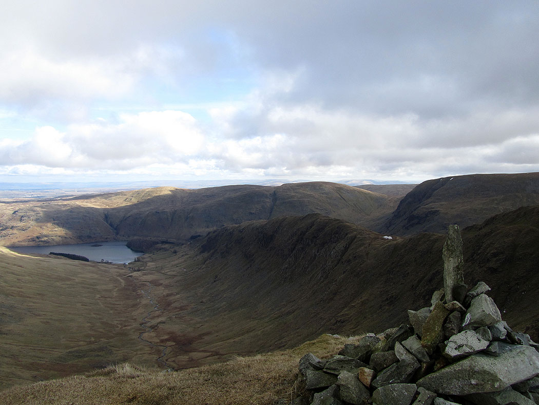
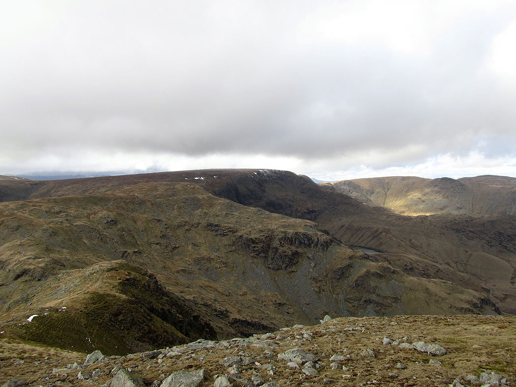
Blea Water below High Street
High Street, Blea Water and the ridge of Rough Crag running down to the right
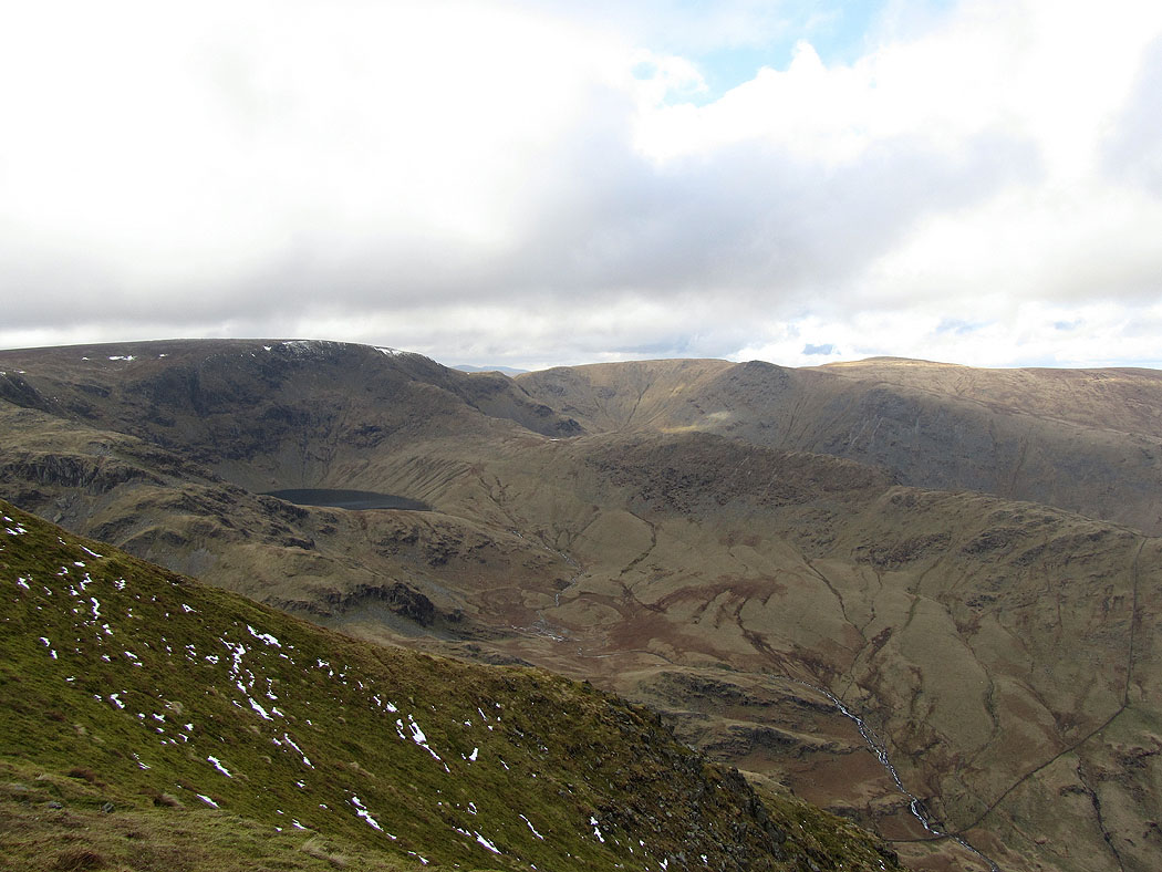
Looking southeast to Tarn Crag and Grey Crag, the Howgill Fells and Ingleborough in the distance
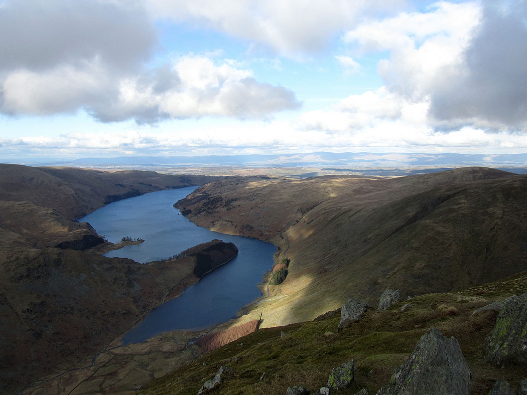
A last shot of Haweswater before I head back down to Mardale Head