13th May 2023 - Roeburndale bluebells
Walk Details
Distance walked: 10.0 miles
Total ascent: 1686 ft
OS map used: OL41 - Forest of Bowland & Ribblesdale
Time taken: 6.5 hrs
Route description: Wray-Wray Bridge-Pike Gill Wood-Alcocks Farm-Outhwaite Wood-Bowskill Wood-Barkin Gate Wood-Barkin Bridge-Lower Salter-Haylot Farm-Melling Wood-Mallowdale Farm-Mallowdale Bridge-High Salter-Goodber Beck-Harterbeck Farm-Wray Wood Moor-Alcocks Farm-Pike Gill Wood-Wray Bridge-Wray
It's the middle of May so it's that time of year when I try and do a bluebell walk. It wasn't very imaginative of me to go to the village of Wray and Roeburndale in the Forest of Bowland for the third year in a row, but the displays of bluebells in Outhwaite Wood in Roeburndale are the best that I've found, and they haven't disappointed me yet. I'm a day early this year though, it was the 14th May in 2021 and 2022. My route was a variation of previous visits, going through Pike Gill Wood from the road from Wray to Lowgill on my outbound walk, and then walking down the road on the eastern side of Roeburndale for my return to Wray. The displays of bluebells and wild garlic were up to their usual high standard, and I enjoyed some lovely spring weather with lots of blue skies and sunshine for the walk across the meadows above Roeburndale in the afternoon.
After parking in the layby at Meal Bank Bridge on the B6480 just outside Wray I took the path south by the Rivers Hindburn and Roeburn to Wray Bridge in Wray. I crossed the road and walked past the Bridge House Farm garden centre and then up the steep road opposite. I followed this uphill past Above Beck Farm to reach a bridleway on the right that headed down into Pike Gill Wood, across Hunt's Gill Beck and up to the road on the eastern side of Roeburndale at Alcocks Farm. I then turned left and after walking up the road I reached a public footpath on the right that heads down across a couple of fields and into Outhwaite Wood. I soon left the public footpath for the permissive paths. I took the one on the left that's reached more or less as soon as you enter the woods and then I followed the paths through the woodland, eventually ending up at the exit point at the top of Bowskill Wood. On exiting Bowskill Wood I followed a path across a couple of fields and down into the woods by the River Roeburn. After crossing a footbridge over the river I carried on following a permissive path to reach Barkin Bridge on the road on the western side of Roeburndale. I then had a short walk along the road south up the valley past Lower Salter and then onto the byway up to Haylot Farm. A footpath from here was taken down into Melling Wood, up to Mallowdale Farm, then along a track over Mallowdale Bridge and up a path to High Salter. After walking round the farm to the end of the road to it I took the footpath on the right across fields and Goodber Beck to Harterbeck Farm. This was the last farm I visited, my route then took me across the fields above the eastern side of Roeburndale and Wray Wood Moor and past Outhwaite to the road on the eastern side of Roeburndale. From here I walked down the road to Wray, and then retraced my outbound route to where I was parked outside Wray.
Total ascent: 1686 ft
OS map used: OL41 - Forest of Bowland & Ribblesdale
Time taken: 6.5 hrs
Route description: Wray-Wray Bridge-Pike Gill Wood-Alcocks Farm-Outhwaite Wood-Bowskill Wood-Barkin Gate Wood-Barkin Bridge-Lower Salter-Haylot Farm-Melling Wood-Mallowdale Farm-Mallowdale Bridge-High Salter-Goodber Beck-Harterbeck Farm-Wray Wood Moor-Alcocks Farm-Pike Gill Wood-Wray Bridge-Wray
It's the middle of May so it's that time of year when I try and do a bluebell walk. It wasn't very imaginative of me to go to the village of Wray and Roeburndale in the Forest of Bowland for the third year in a row, but the displays of bluebells in Outhwaite Wood in Roeburndale are the best that I've found, and they haven't disappointed me yet. I'm a day early this year though, it was the 14th May in 2021 and 2022. My route was a variation of previous visits, going through Pike Gill Wood from the road from Wray to Lowgill on my outbound walk, and then walking down the road on the eastern side of Roeburndale for my return to Wray. The displays of bluebells and wild garlic were up to their usual high standard, and I enjoyed some lovely spring weather with lots of blue skies and sunshine for the walk across the meadows above Roeburndale in the afternoon.
After parking in the layby at Meal Bank Bridge on the B6480 just outside Wray I took the path south by the Rivers Hindburn and Roeburn to Wray Bridge in Wray. I crossed the road and walked past the Bridge House Farm garden centre and then up the steep road opposite. I followed this uphill past Above Beck Farm to reach a bridleway on the right that headed down into Pike Gill Wood, across Hunt's Gill Beck and up to the road on the eastern side of Roeburndale at Alcocks Farm. I then turned left and after walking up the road I reached a public footpath on the right that heads down across a couple of fields and into Outhwaite Wood. I soon left the public footpath for the permissive paths. I took the one on the left that's reached more or less as soon as you enter the woods and then I followed the paths through the woodland, eventually ending up at the exit point at the top of Bowskill Wood. On exiting Bowskill Wood I followed a path across a couple of fields and down into the woods by the River Roeburn. After crossing a footbridge over the river I carried on following a permissive path to reach Barkin Bridge on the road on the western side of Roeburndale. I then had a short walk along the road south up the valley past Lower Salter and then onto the byway up to Haylot Farm. A footpath from here was taken down into Melling Wood, up to Mallowdale Farm, then along a track over Mallowdale Bridge and up a path to High Salter. After walking round the farm to the end of the road to it I took the footpath on the right across fields and Goodber Beck to Harterbeck Farm. This was the last farm I visited, my route then took me across the fields above the eastern side of Roeburndale and Wray Wood Moor and past Outhwaite to the road on the eastern side of Roeburndale. From here I walked down the road to Wray, and then retraced my outbound route to where I was parked outside Wray.
Route map
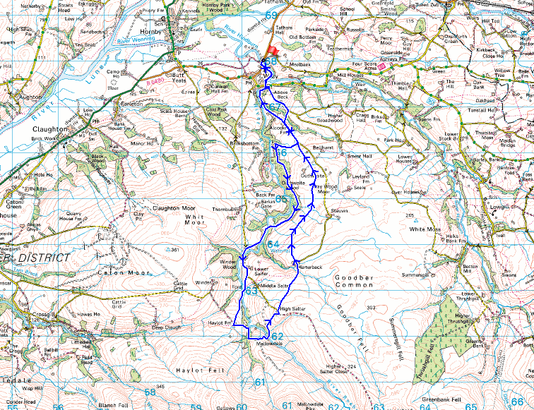
© Crown copyright. All rights reserved. License number PU 100034184.
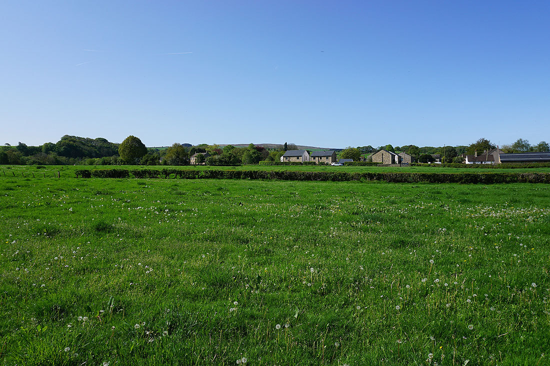
Looking across to Wray from Meal Bank Bridge

The Rivers Roeburn and Hindburn meet just outside Wray

The River Roeburn from Wray Bridge in Wray
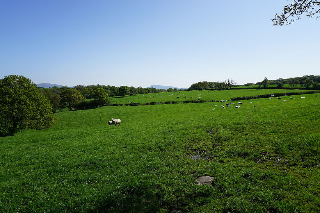
Ingleborough in the distance..
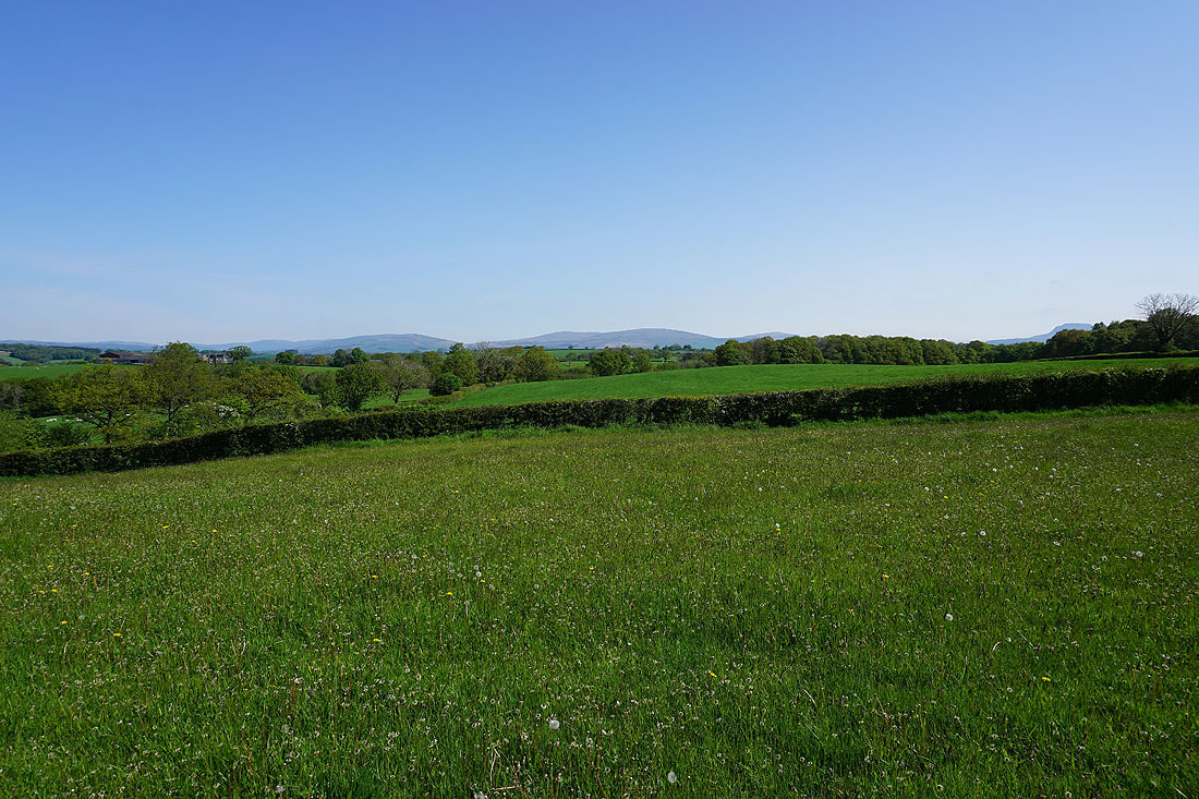
..along with Middleton Fell, Great Coum, and Gragareth, as I walk up the road from Wray
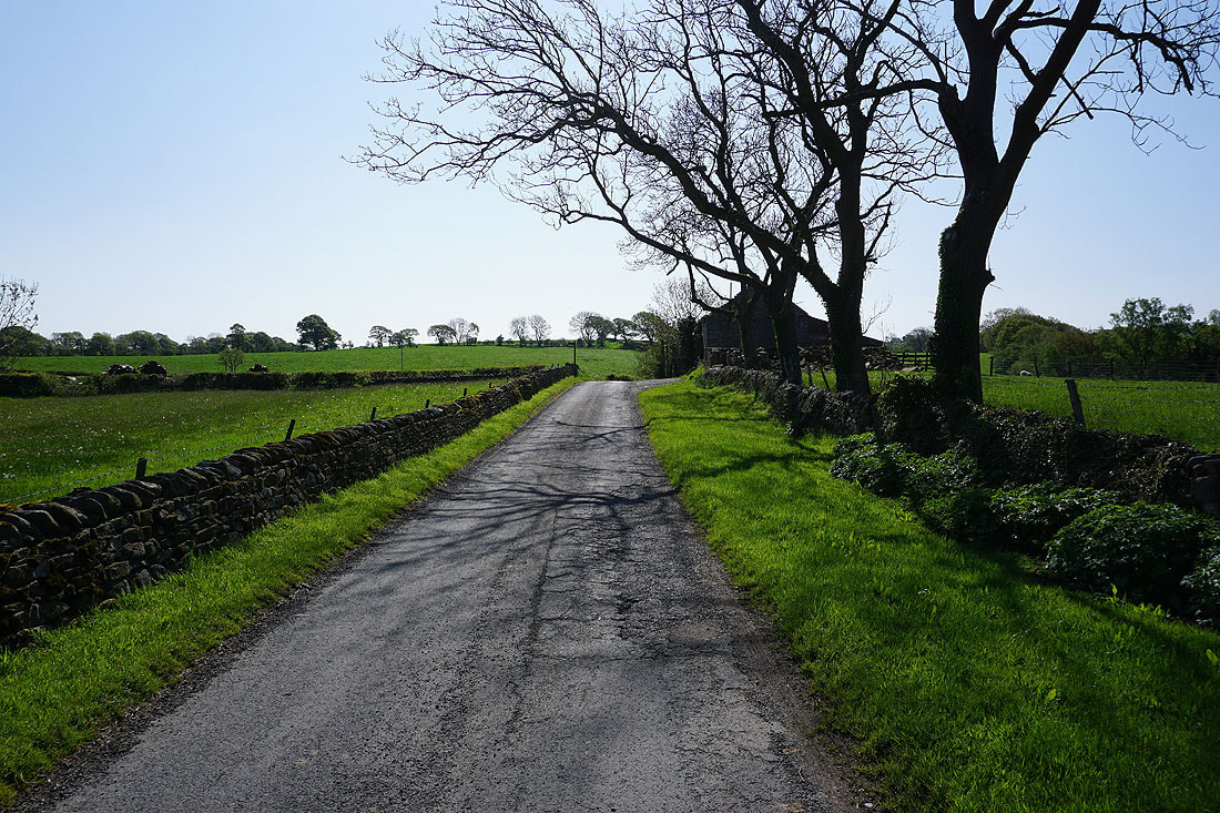
Passing Above Beck Cottage..

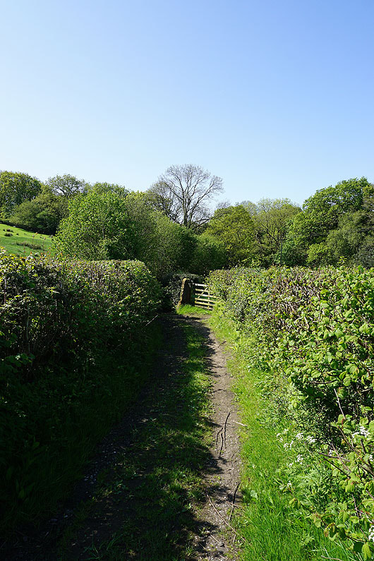
|
|
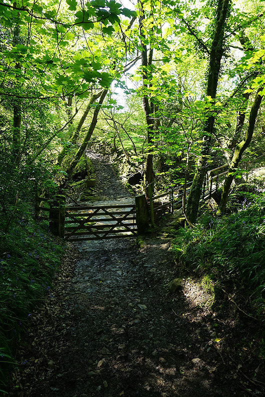
Leaving the road I take the footpath down to the ford across Hunt's Gill Beck in Pike Gill Wood. I'll use the footbridge that's available though.
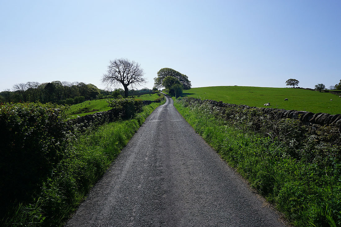
Walking up the road on the eastern side of Roeburndale
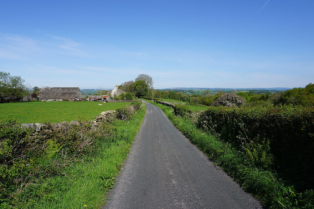
Looking back from past Alcocks Farm
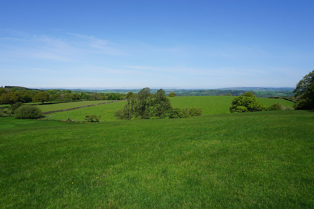
I can make out the Lake District fells in the distance as I follow the footpath down to Outhwaite Wood

Following the footpath down to Outhwaite Wood
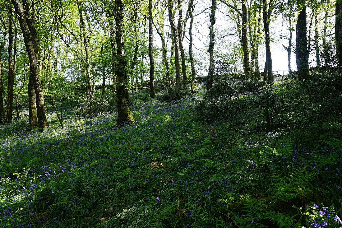
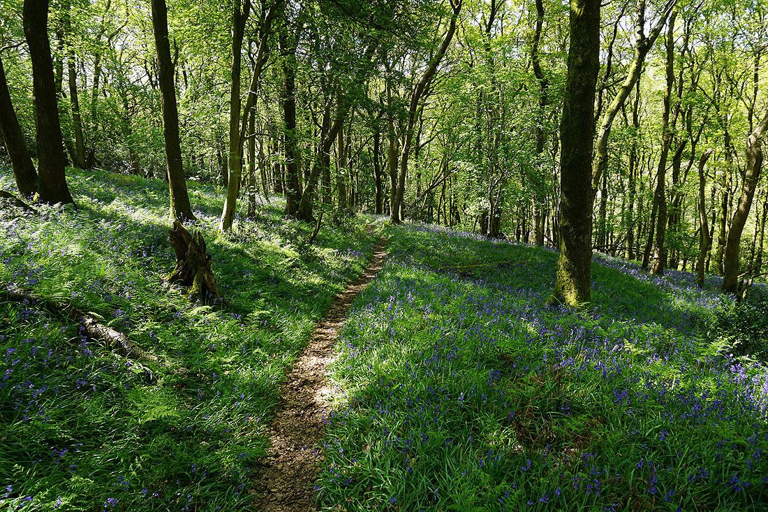
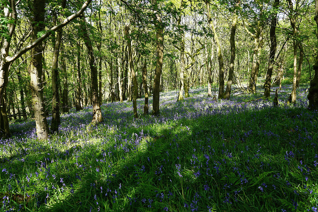
Lots of photos of bluebells as I follow the concessionary footpaths in Outhwaite Wood...........

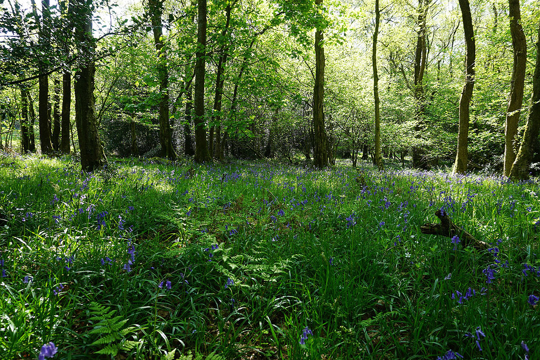
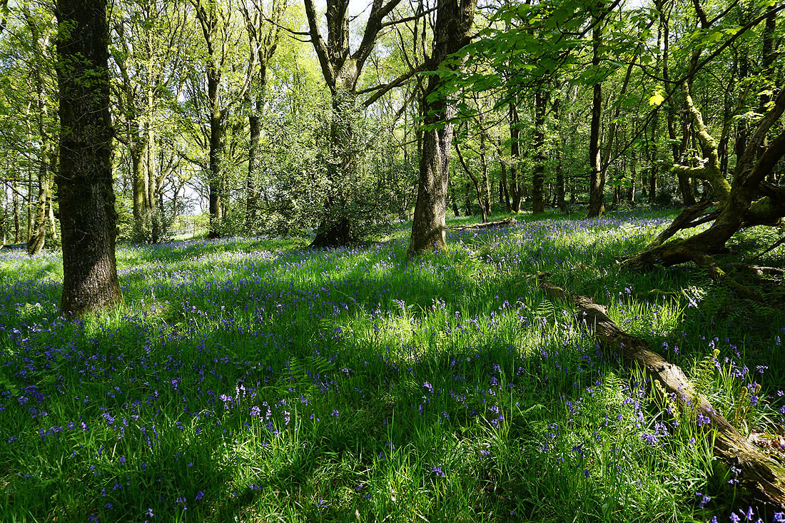
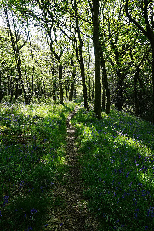
|
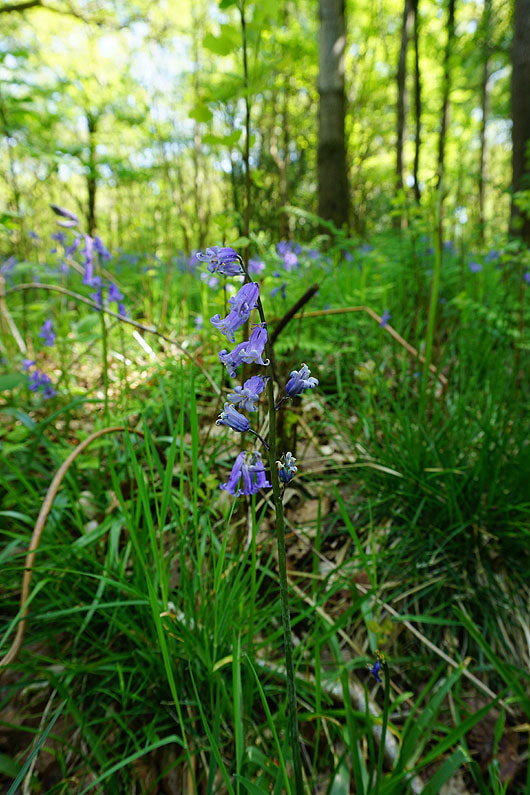
|

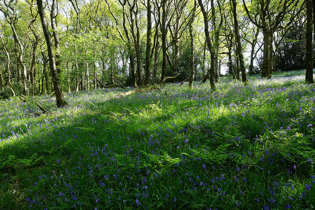

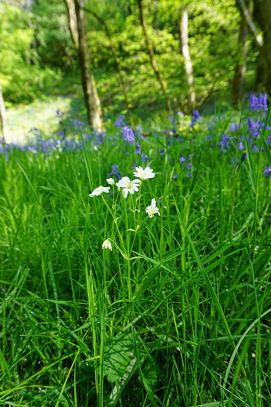
Greater Stitchwort
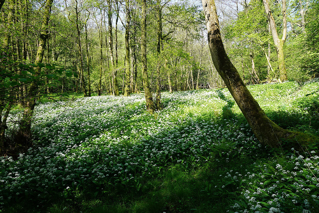
A carpet of wild garlic

My wanderings through the woods take me down to the banks of the River Roeburn
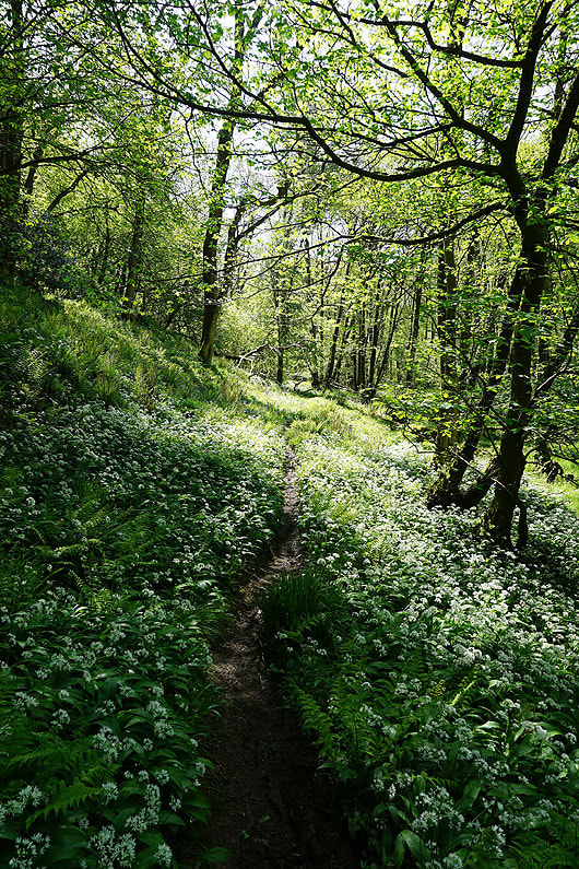
A lot of wild garlic as I head back south through Outhwaite Wood
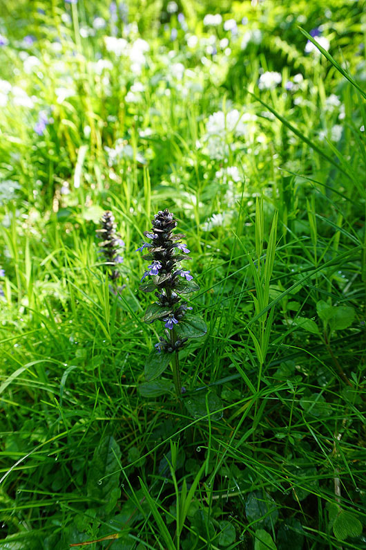
Common bugle
|
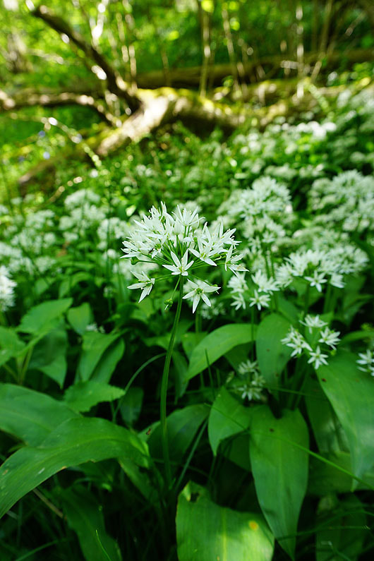
Wild Garlic or Ramsons
|
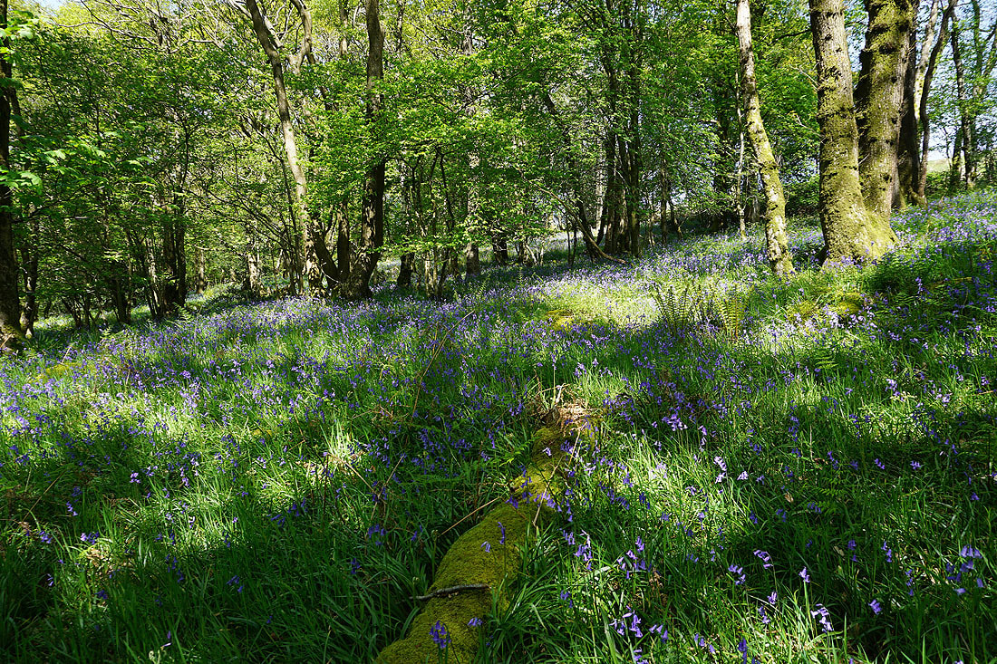
More photos of bluebells as I make my way south through Outhwaite Wood and Bowskill Wood...
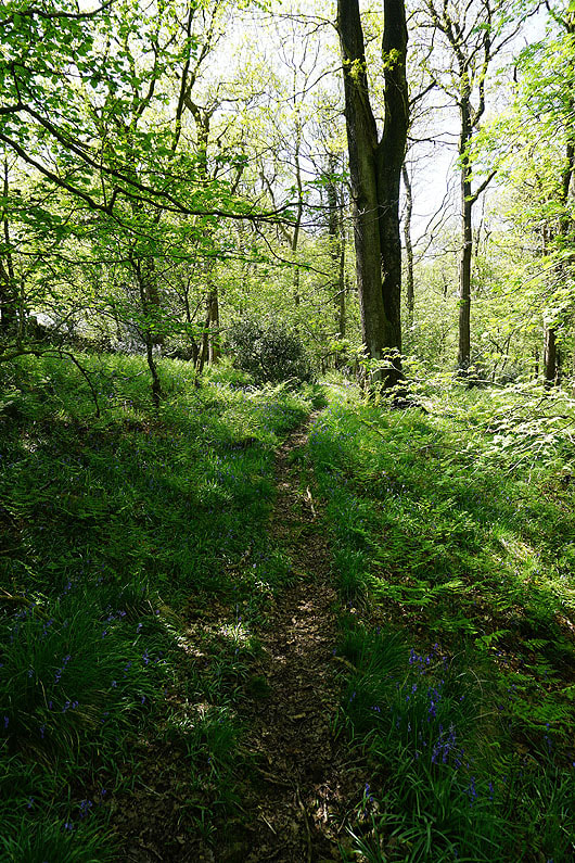

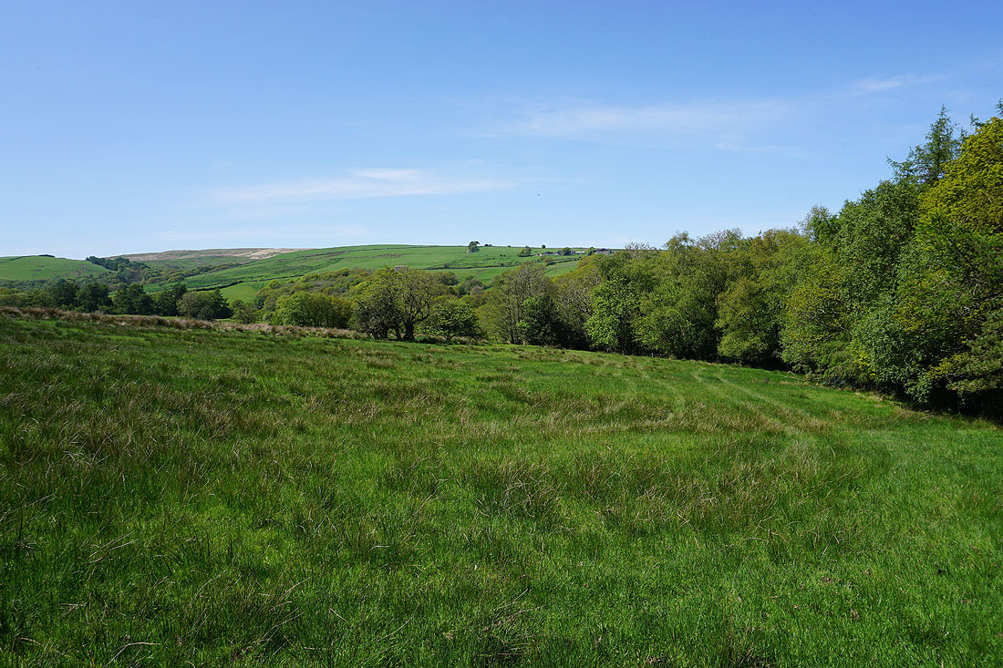
I leave Bowskill Wood and follow the concessionary footpath down to the River Roeburn in Barkin Wood
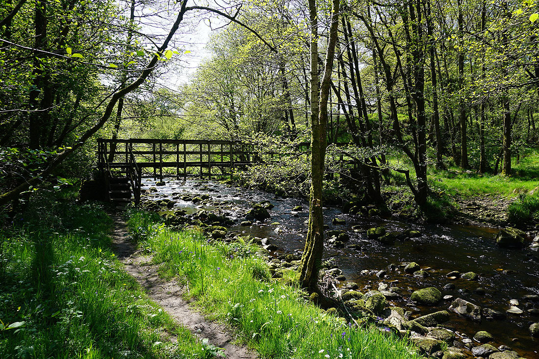
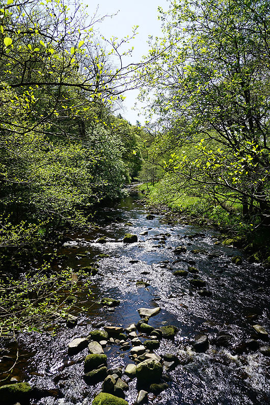
Crossing the footbridge over the River Roeburn in Barkin Wood..
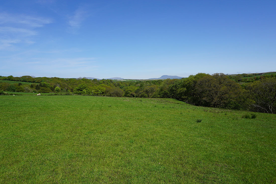
Looking back to Ingleborough in the distance as I take the concessionary footpath from Barkin Wood across to Barkin Bridge..
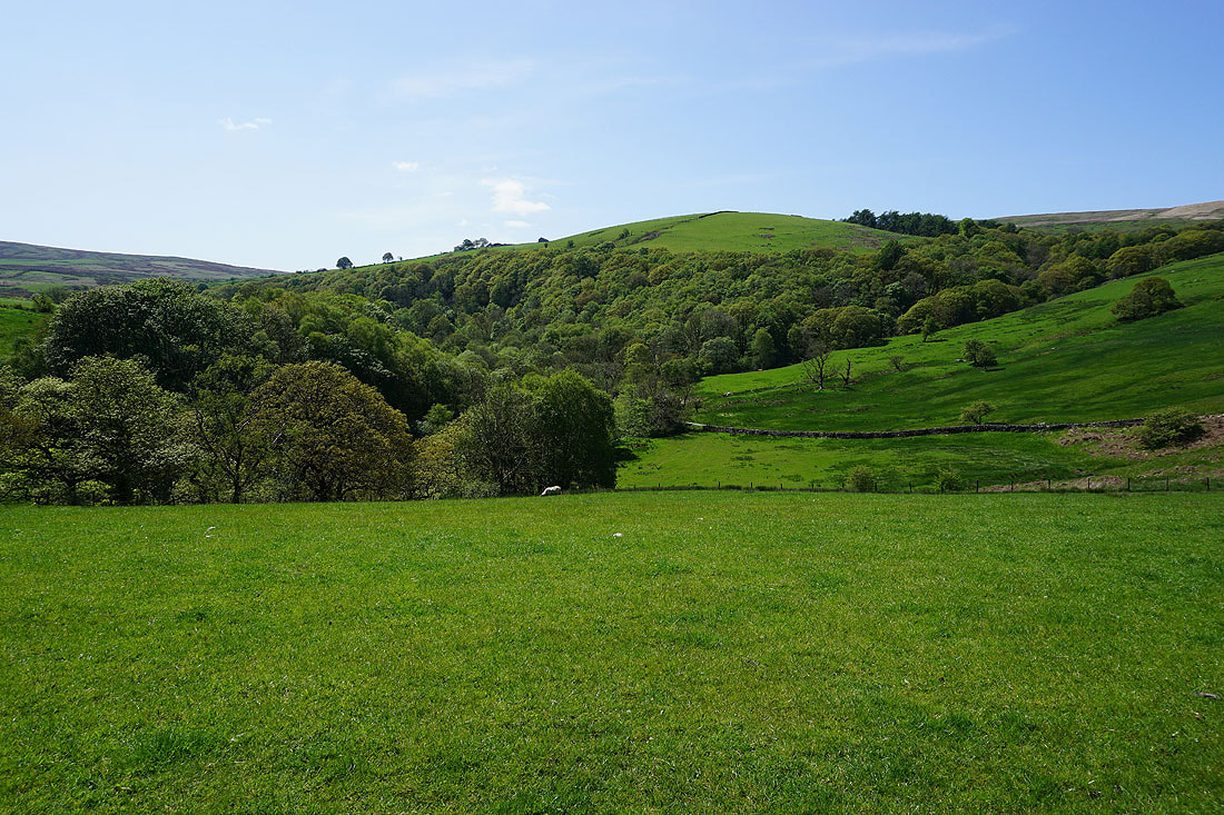
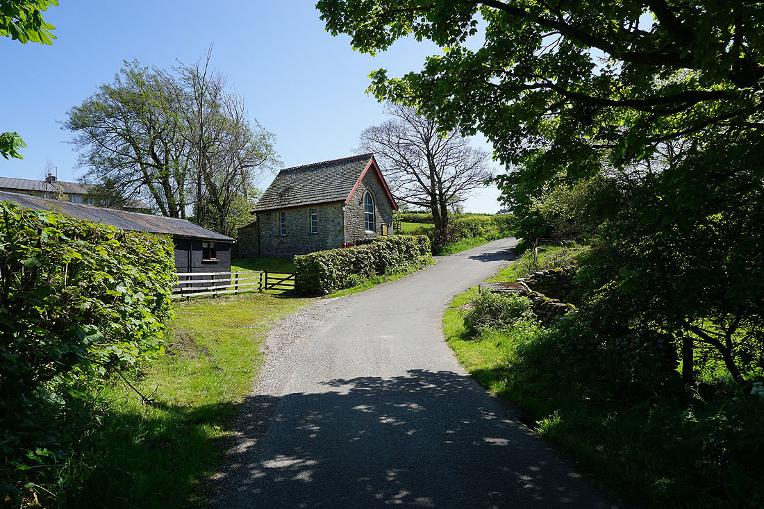
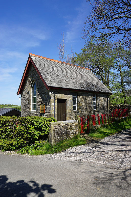
Passing the methodist chapel at Lower Salter..
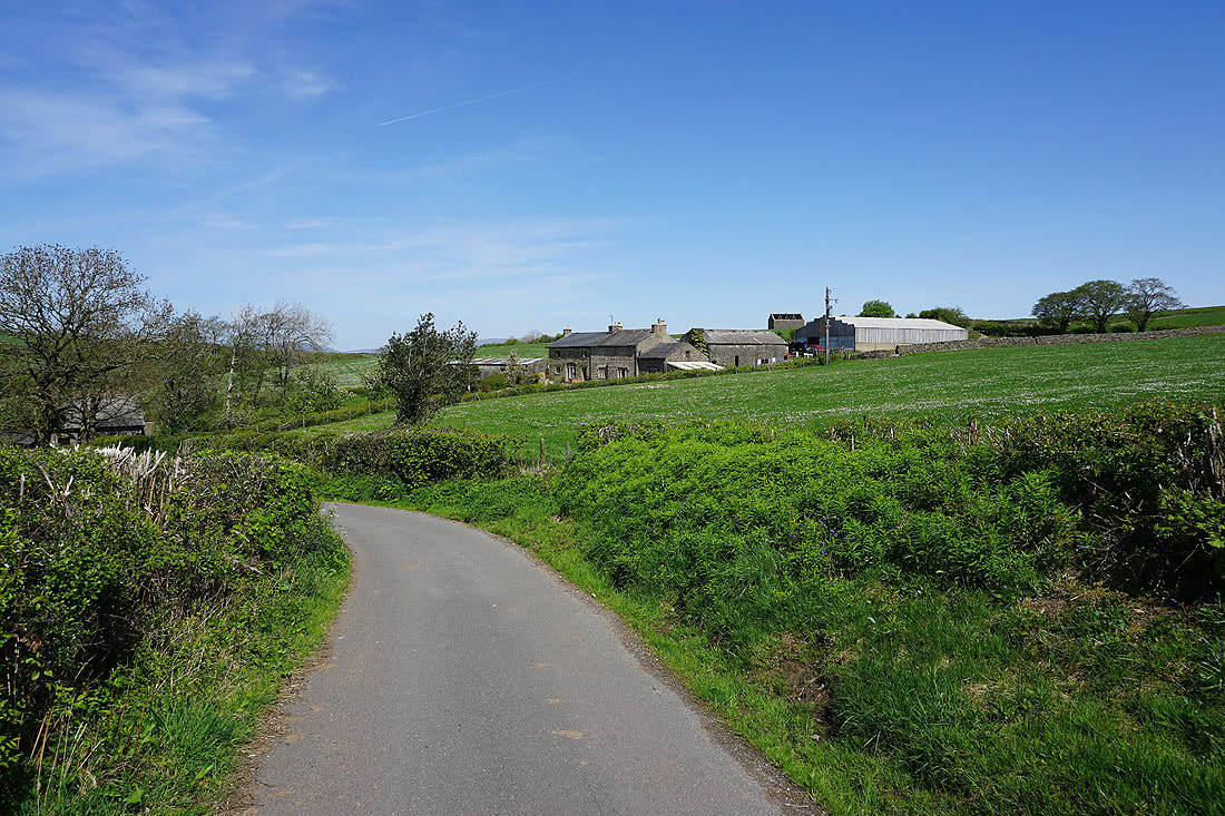
Lower Salter Farm
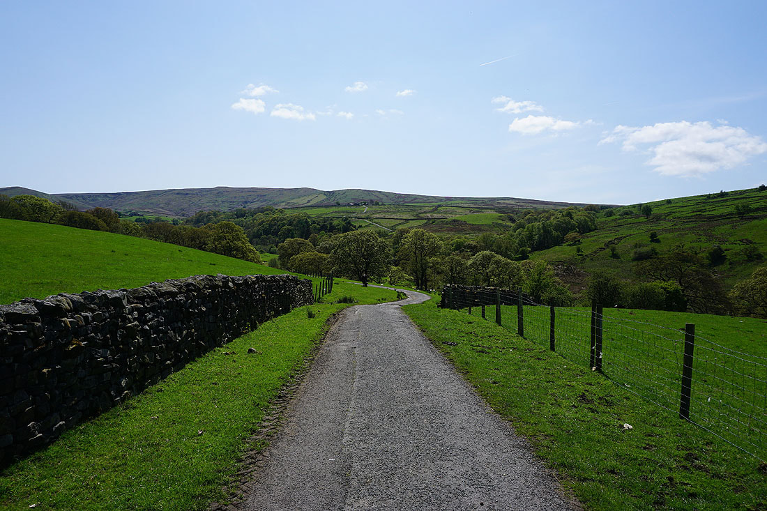
On the byway up to Haylot Farm
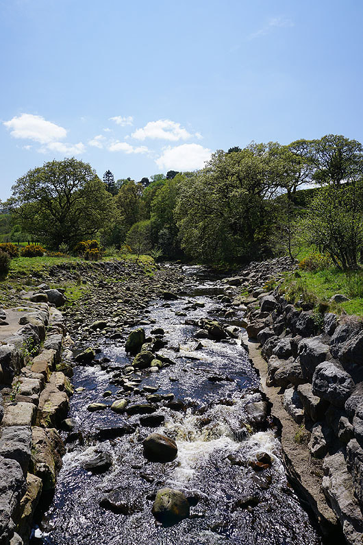
Across the River Roeburn
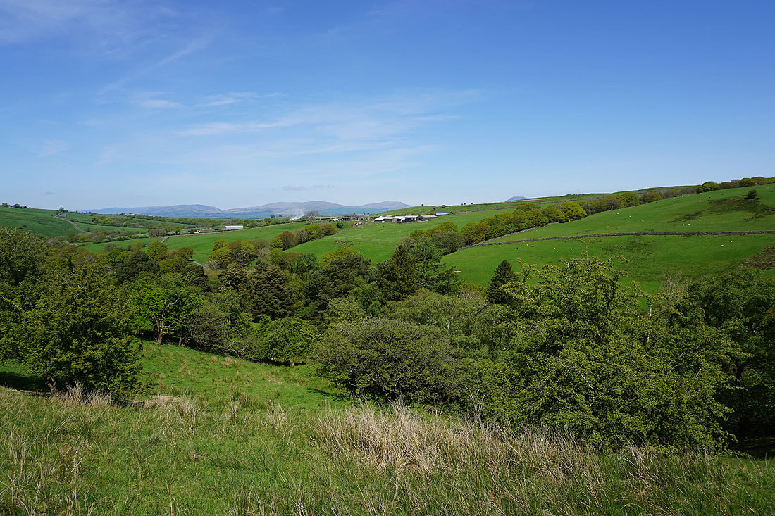
Looking back down Roeburndale to Middleton Fell, Gragareth, Whernside and Ingleborough in the distance..
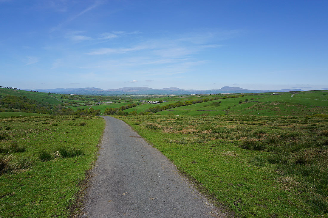
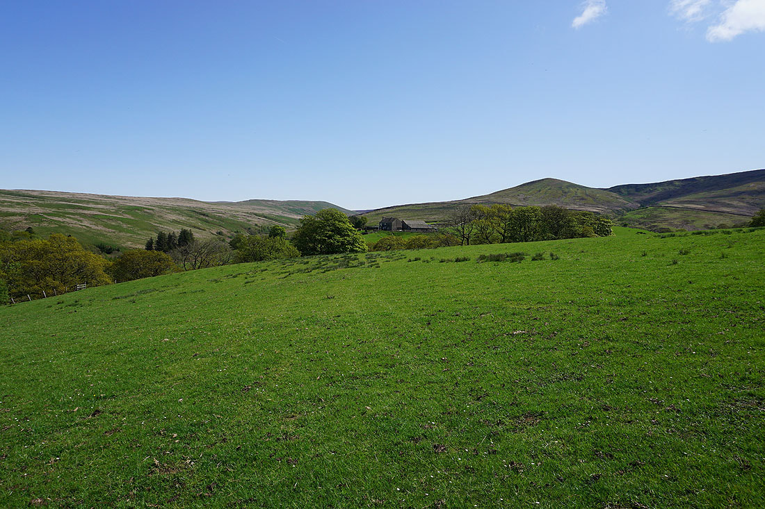
Alderstone Bank and Mallowdale Pike behind Mallowdale Farm
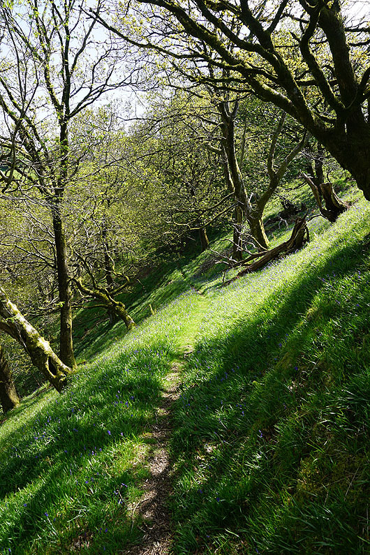
Down through Melling Wood
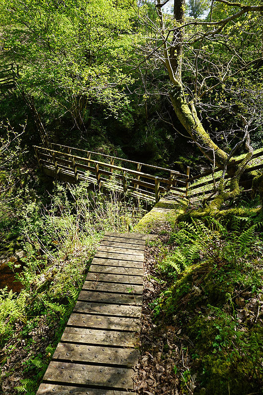
Across the footbridge over Mallow Gill
|

Mallow Gill
|

Looking down Roeburndale from below Mallowdale Farm
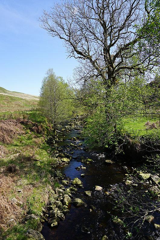
The River Roeburn from Mallowdale Bridge
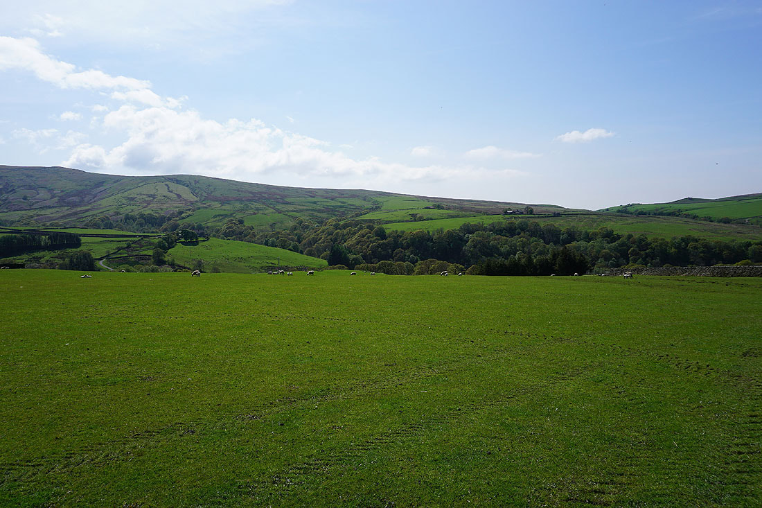
Haylot Fell behind the hillside with Mallowdale Farm on it, from the path up to Higher Salter Farm
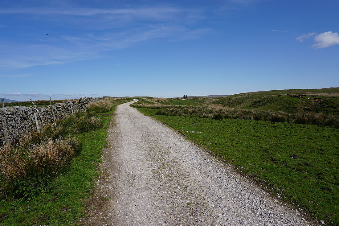
At the northern end of the track of Hornby Road at Higher Salter Farm
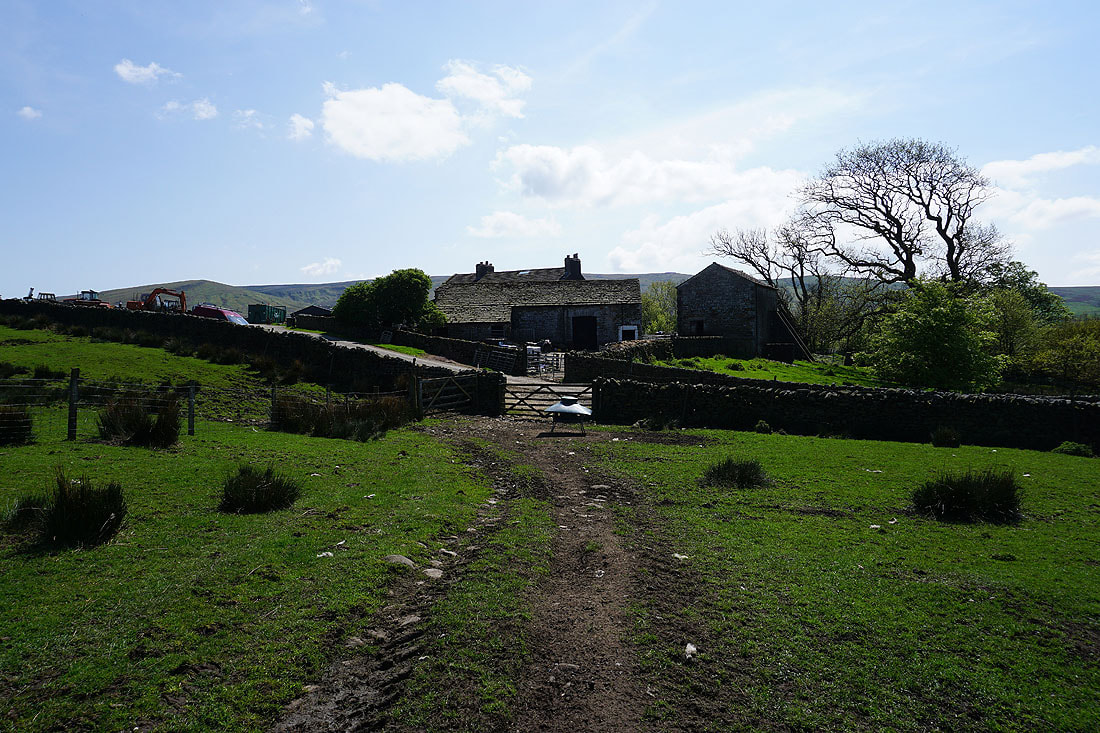
Higher Salter Farm
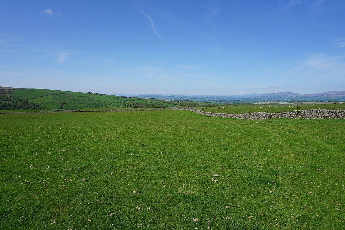
Great views to the north to Lunesdale and the Yorkshire Dales as I follow the footpath from High Salter Farm to Harterbeck Farm..
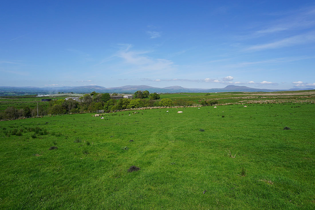
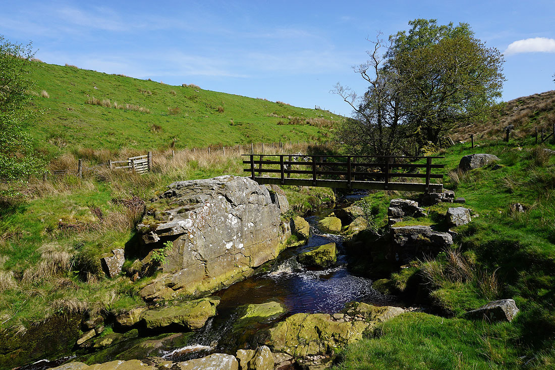
At the footbridge over Goodber Beck at the top of Pedder Gill
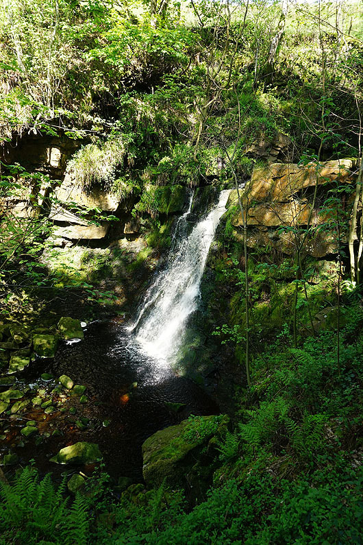
The lower of the two waterfalls at the top of Pedder Gill. It would take some effort to reach the base of this one.
|
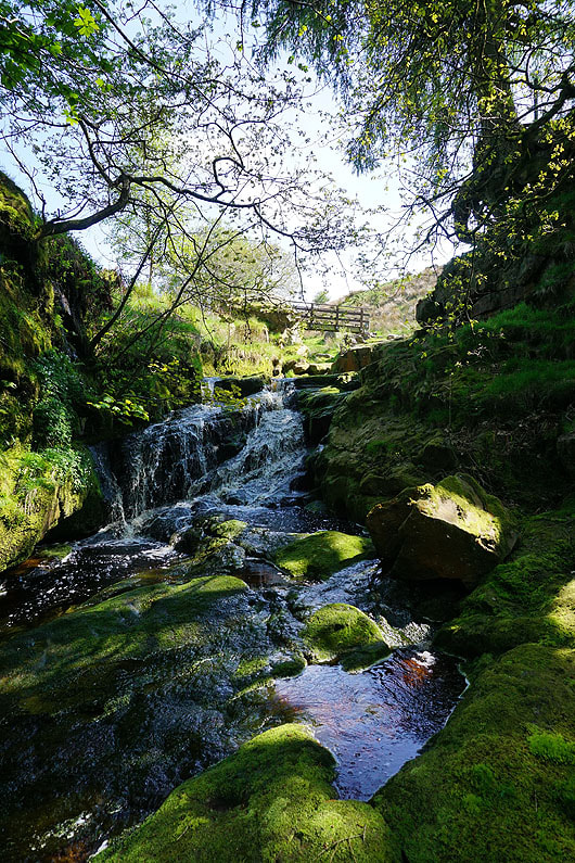
The higher of the two falls, with the footbridge across the beck above
|
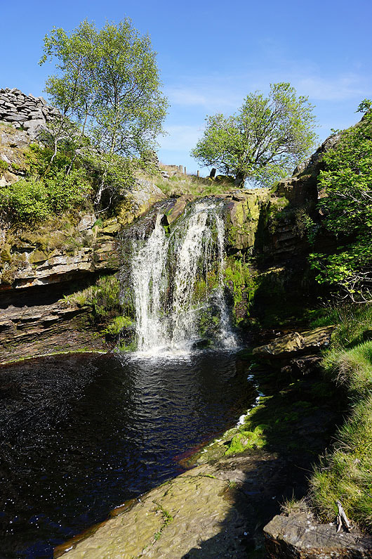
A short distance upstream on Goodber Beck this waterfall is reached
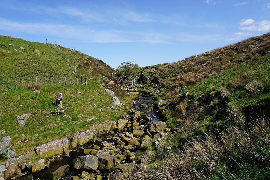
Looking back to the waterfall as I return to the footbridge
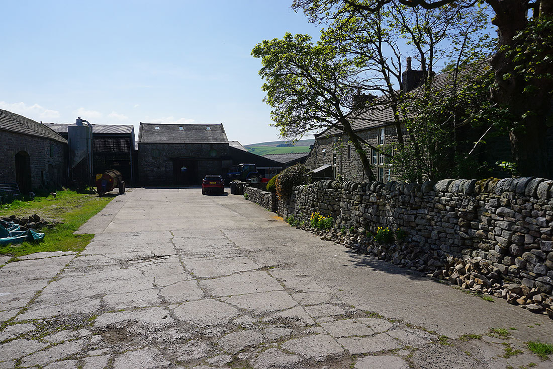
Harterbeck Farm
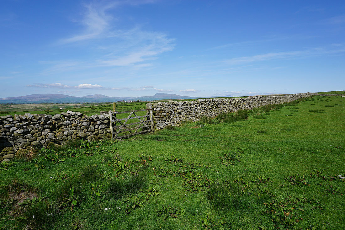
Views to the north to Lunesdale and the Yorkshire Dales as I follow the path north from Harterbeck Farm..
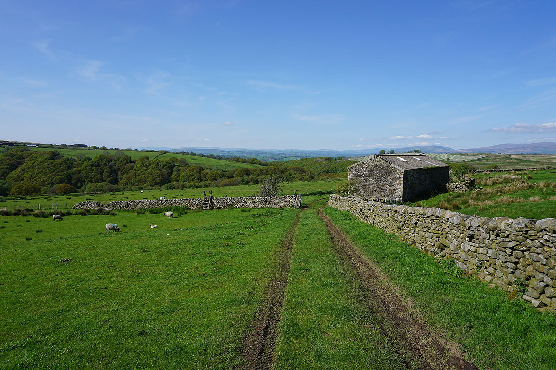
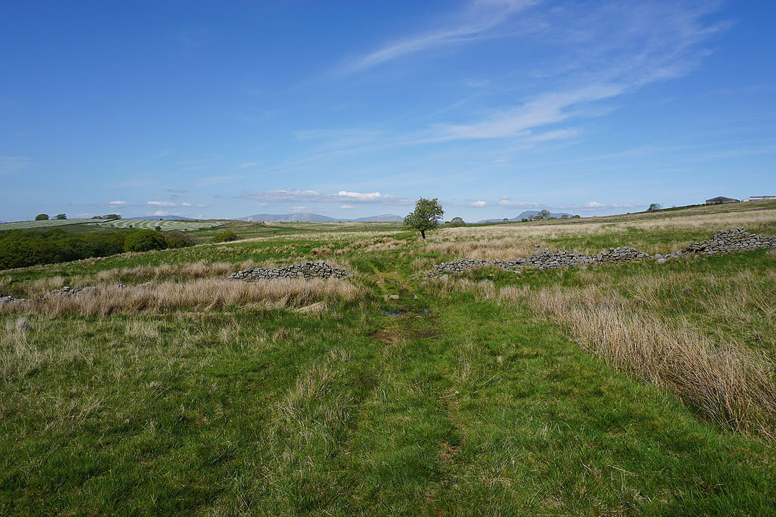
Heading across Wray Wood Moor
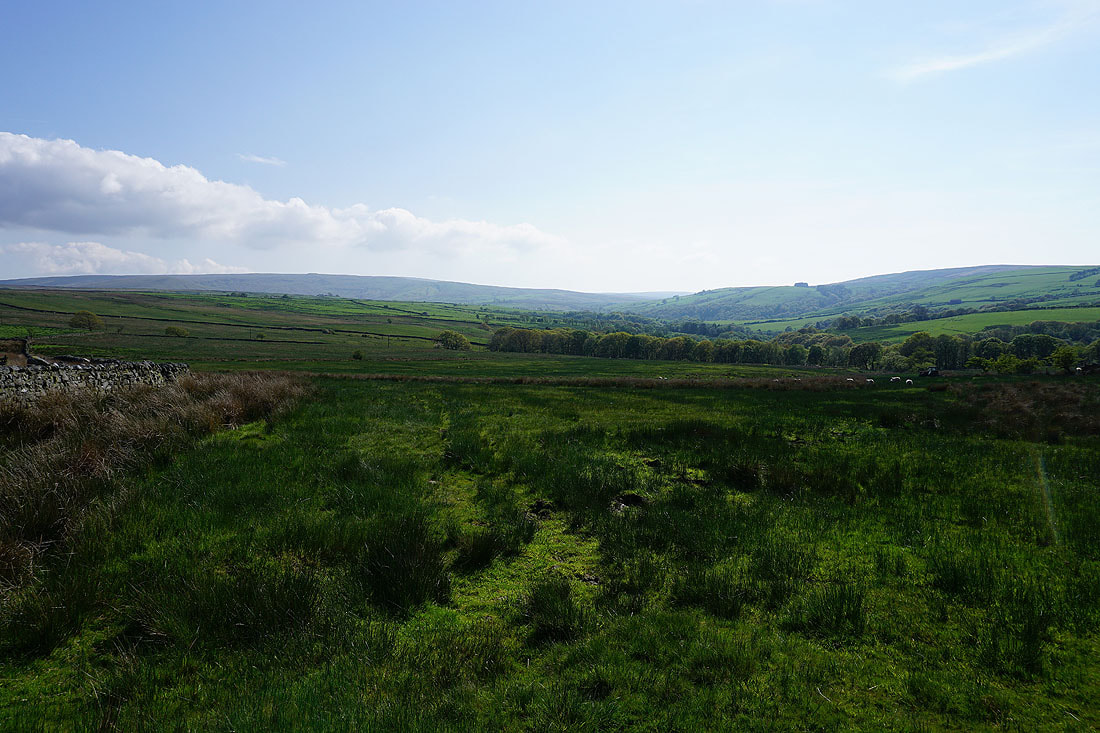
Looking back to the moors around the head of Roeburndale
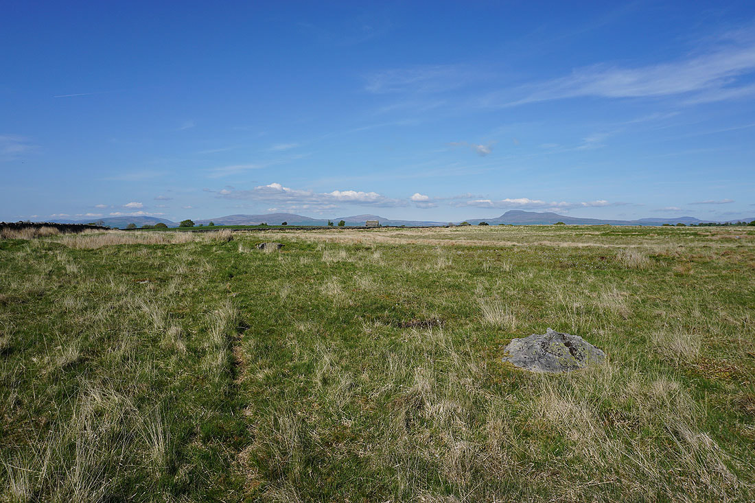
Middleton Fell, Gragareth, Whernside, Ingleborough, and Penyghent from Wray Wood Moor
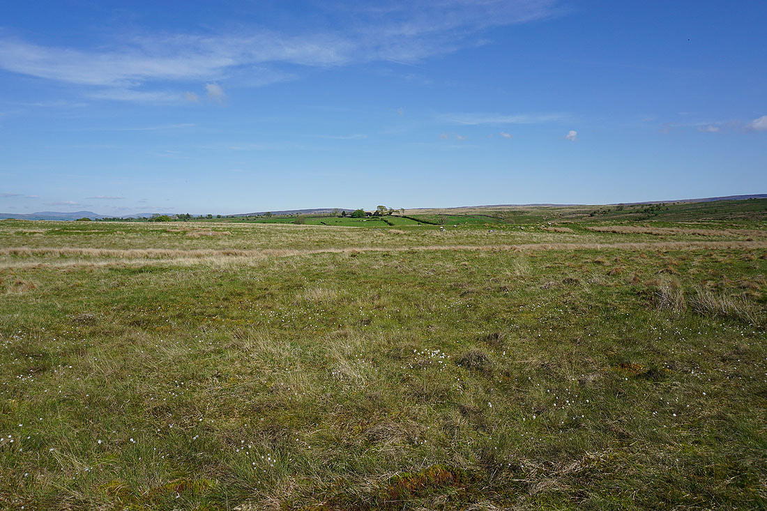
Looking east across Wray Wood Moor
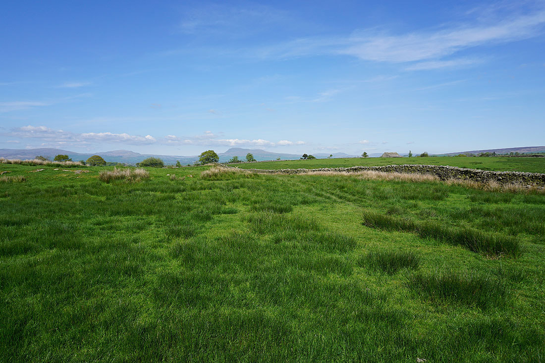
Gragareth, Whernside and Ingleborough from the northern end of Wray Wood Moor at Outhwaite
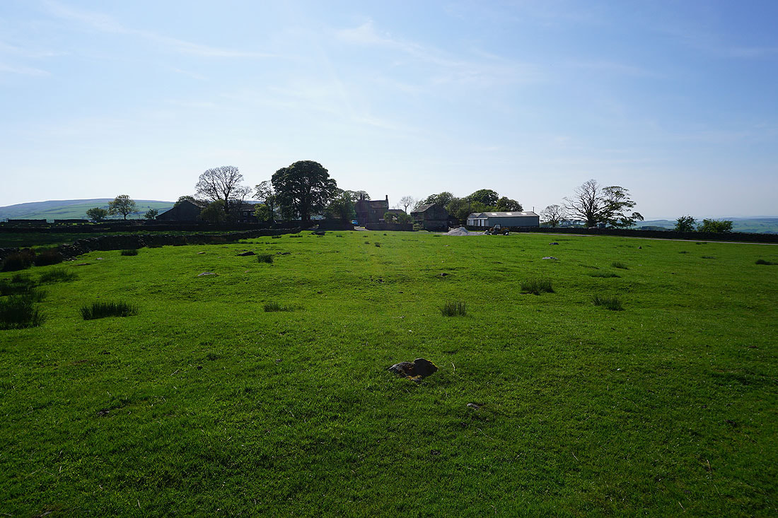
Outhwaite
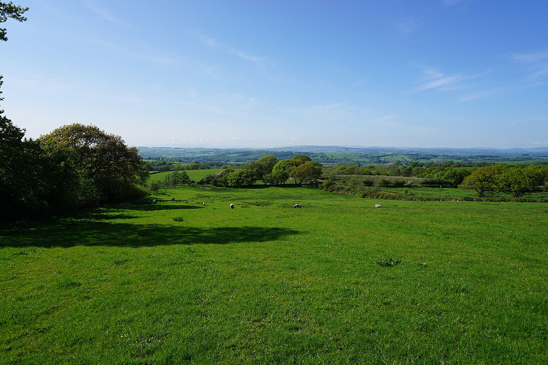
Following the path north back towards Wray with Lunesdale ahead and the western fells of the Yorkshire Dales to my right...
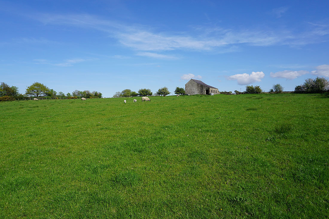
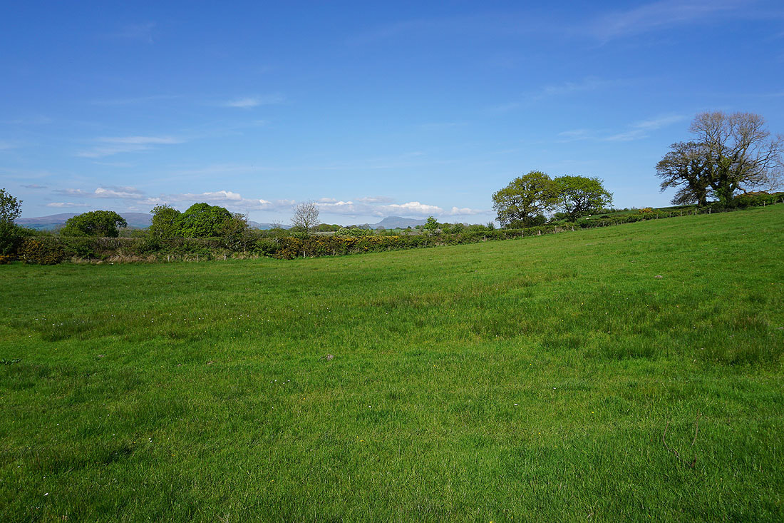
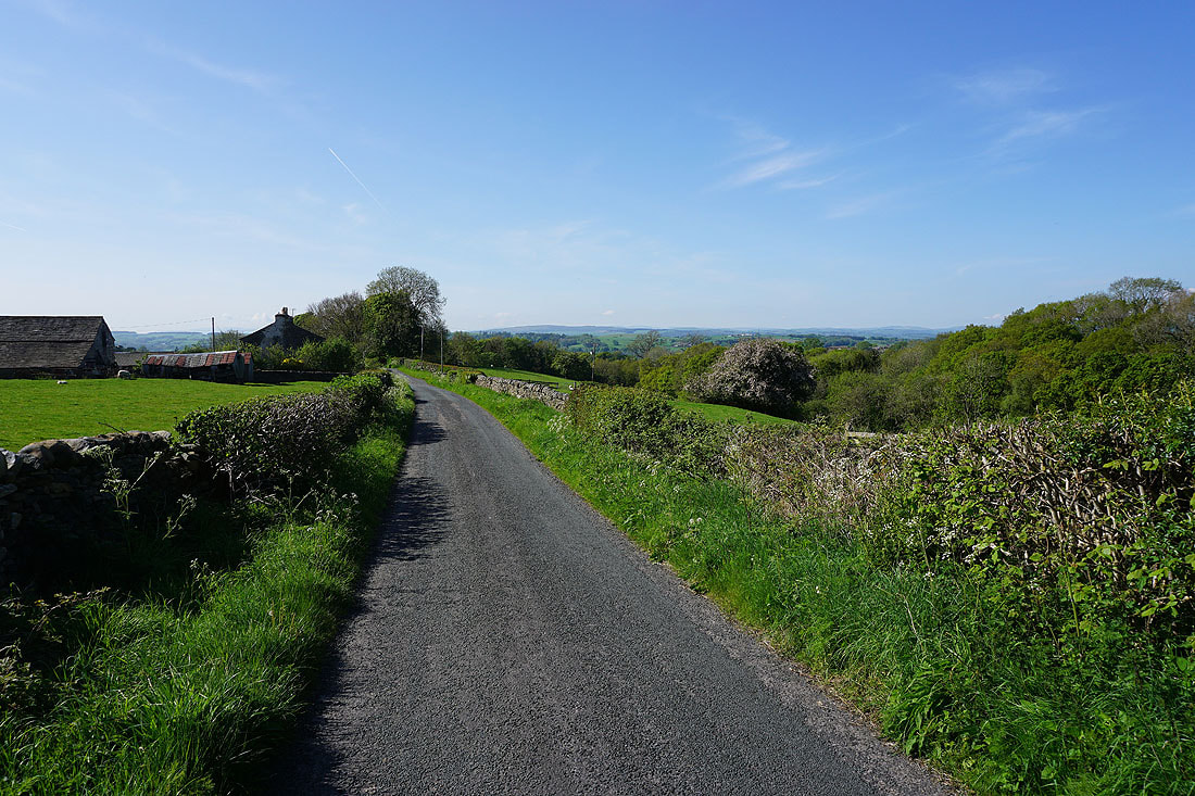
Back on the road past Alcocks Farm and down to Wray..

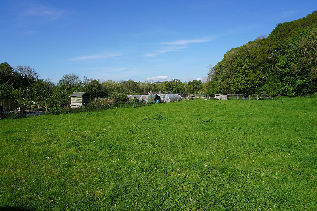
Passing the allotments in Wray
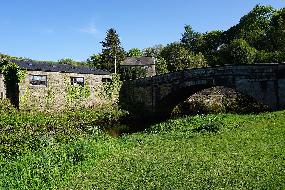
Wray Bridge over the River Roeburn in Wray
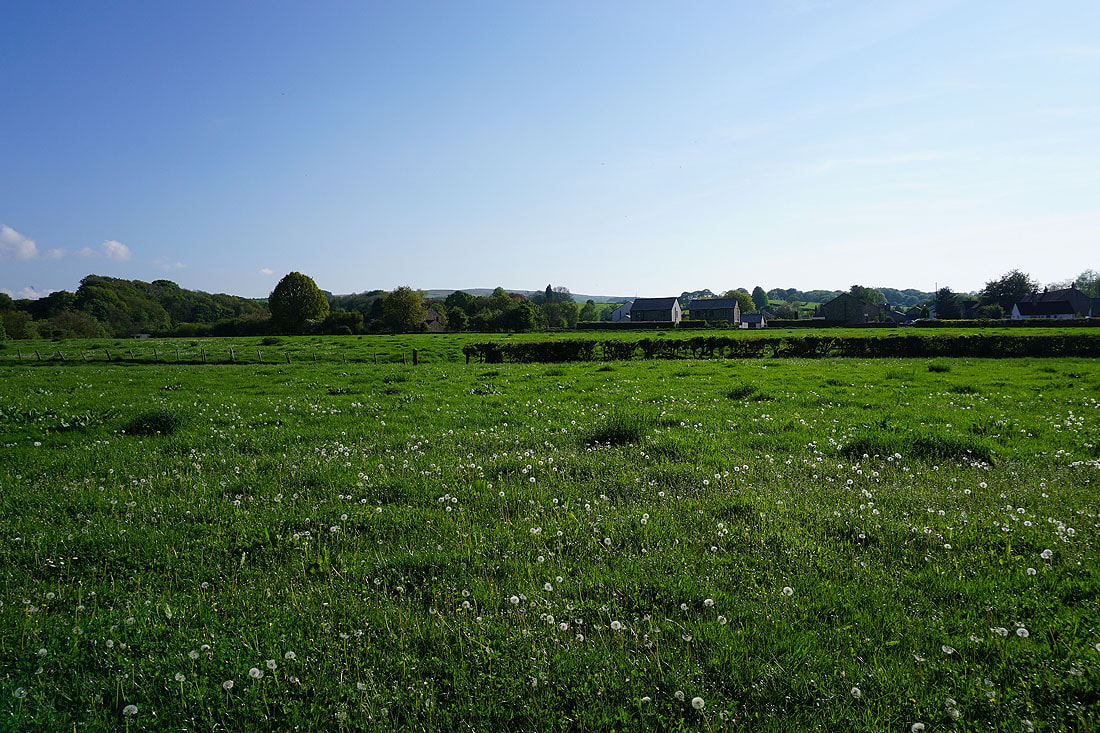
It's a lovely end to the afternoon as I return to Meal Bank Bridge just outside Wray