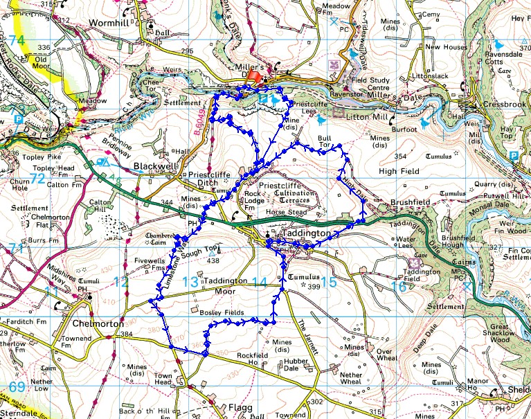
13th November 2016 - Taddington Moor
Walk Details
Distance walked: 9.3 miles
Total ascent: 1501 ft
OS map used: OL24 - The Peak District, White Peak area
Time taken: 5 hrs
Route description: Miller's Dale car park-Priestcliffe Lees-Priestcliffe-Priestcliffe Road-Limestone Way-Flagg Lane-Whitefield Lane-The Jarnett-Taddington-A6-High Dale-Bulltor Lane-Broadway Lane-Priestcliffe-Long Lane-B6049-Miller's Dale car park
With a forecast of thickening cloud, rain and freshening winds to move in from the northwest later today I decided to head southeast from home to the White Peak part of the Peak District, with the aim of walking in the best of the weather for longer. The route I did started from Miller's Dale and took in Taddington Moor, a limestone moor that rises to the south of this valley. I've done a couple of walks across it in the past but I was still able to follow paths that I hadn't trodden before. I set off from Miller's Dale with clear skies and sunshine and it stayed that way past lunchtime and into the early afternoon before the cloud increased, the sunshine turned hazy and by the time I'd returned to Priestcliffe and was heading back to Miller's Dale it was quite gloomy and the breeze had picked up.
From the National Park car park in Miller's Dale I set off by heading east along the Monsal Trail. I soon reached a path on the right signposted for Priestcliffe that I followed up through the woodland on Priestcliffe Lees and then south across fields to the hamlet of Priestcliffe. Some road walking came next, along Priestcliffe Road to a crossroads where I joined the trail of the Limestone Way that follows a lane to the A6. Across the road the trail carries on south as the byway of Sough Lane to reach Moor Lane, a right onto Moor Lane was followed by a left onto Green Lane. I left the trail for the time being when I then turned left onto Flagg Lane. I walked east along this road until I reached the green way of Whitefield Lane on the left. I followed this north then east across the hillside until I reached a crossroads of paths where I turned left and made my way north to the road of The Jarnett, which took me down into Taddington. I left Taddington by walking east along the road out of the village to the A6, where I then took the bridleway on the opposite side of the road over the hill and down into High Dale. After walking up High Dale I turned right onto a path that heads uphill to join the byway of Bulltor Lane. Bulltor Lane then Broadway Lane took me back to Priestcliffe, where I took another byway north then west to Long Lane where I met the Limestone Way again. I followed Long Lane north, down to the B6049 in Miller's Dale, where after crossing the River Wye a path took me steeply uphill to the Monsal Trail and the car park.
Route map
© Crown copyright. All rights reserved. License number PU 100034184.
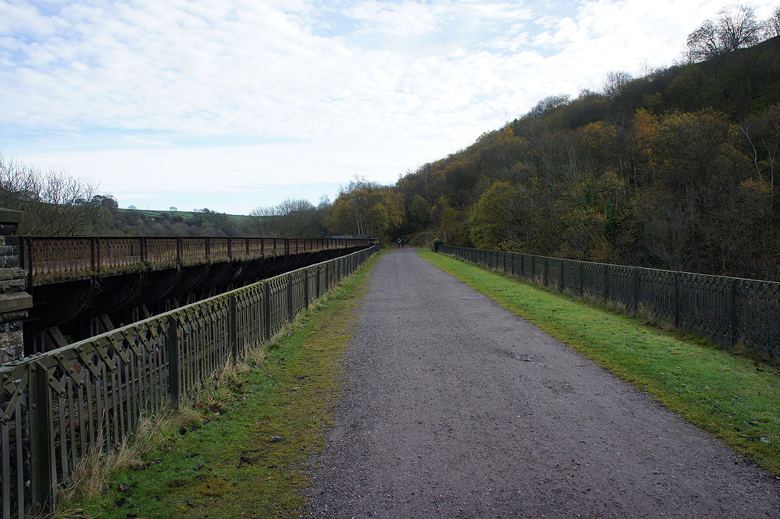
Setting off on the Monsal Trail
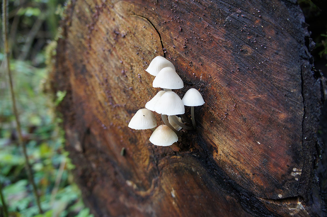
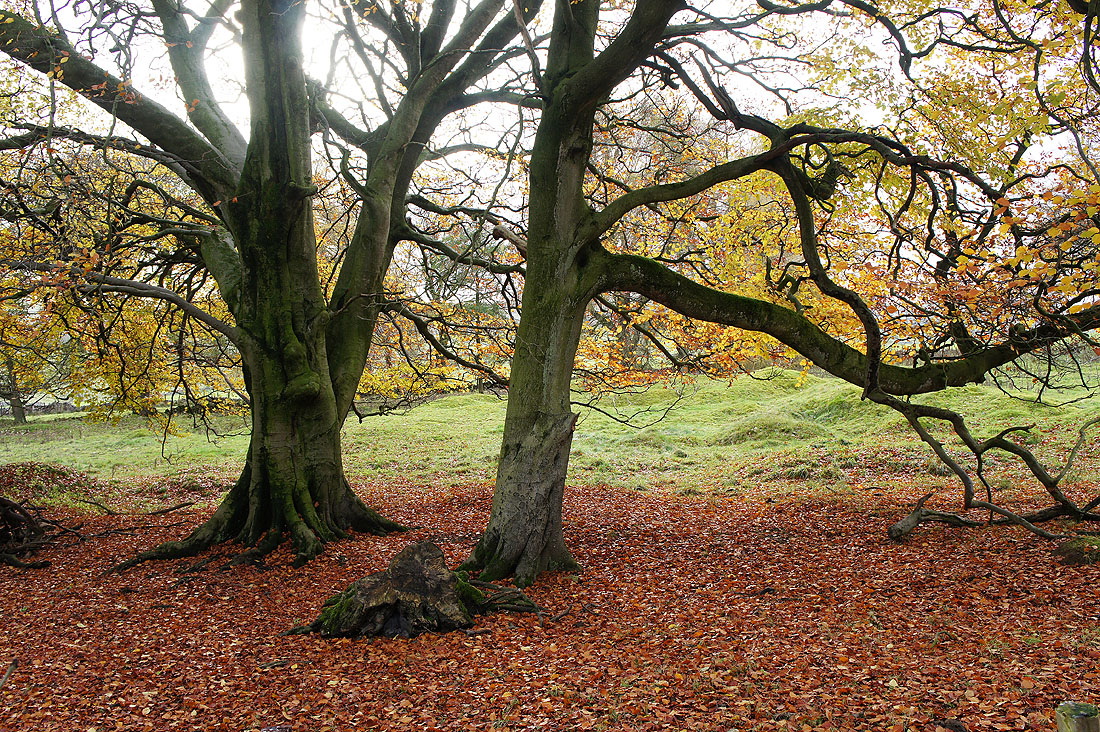
Making my way up the path through the woodland on Priestcliffe Lees. Seeing these fungi growing out of a log made me stop to take a photo.
At the top of climb, Monk's Dale on the other side of Miller's Dale
and the village of Tideswell and Hucklow Edge in the distance
On the path across fields to the hamlet of Priestcliffe
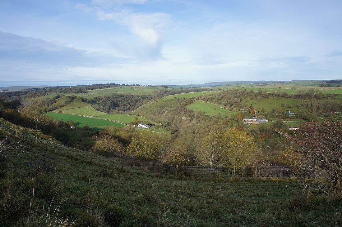
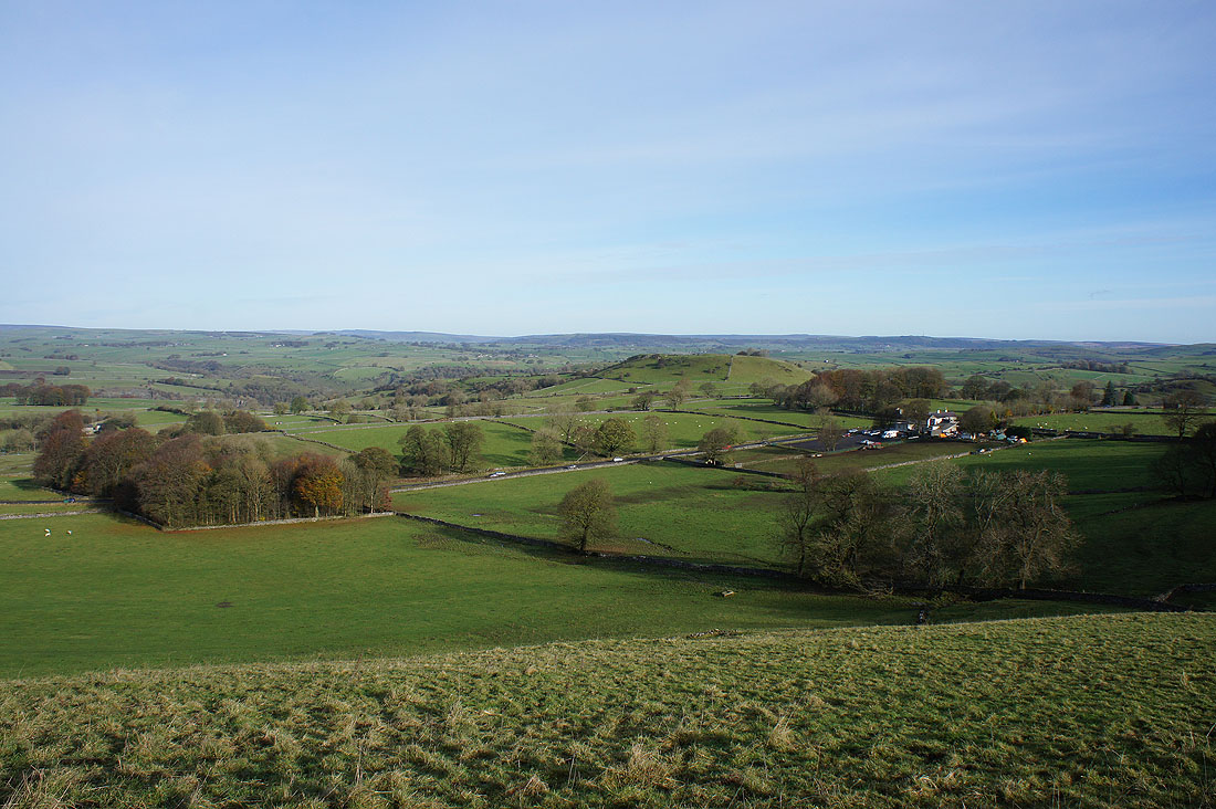
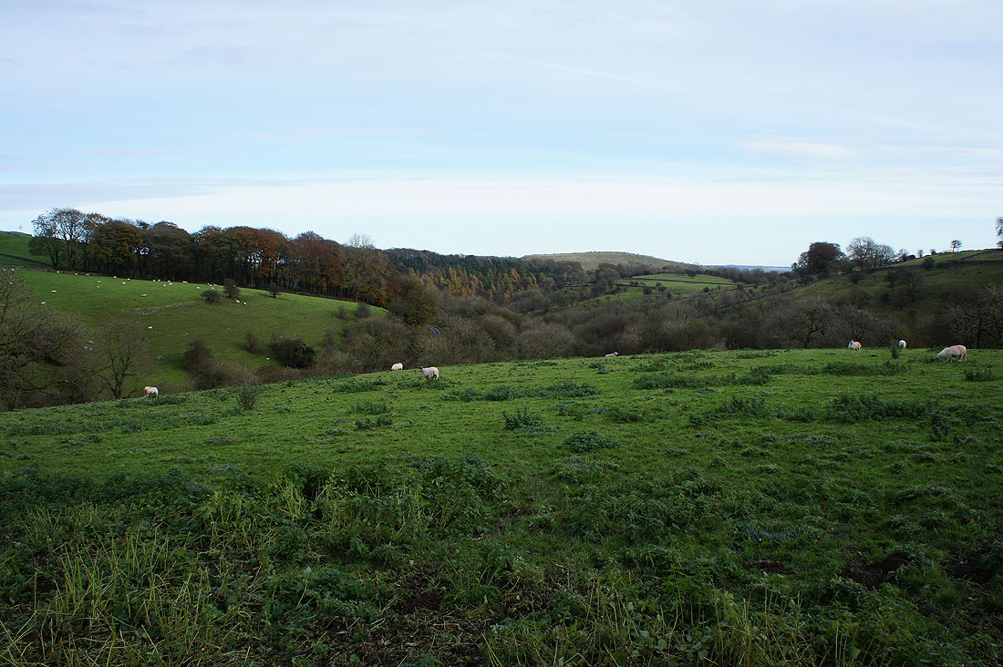
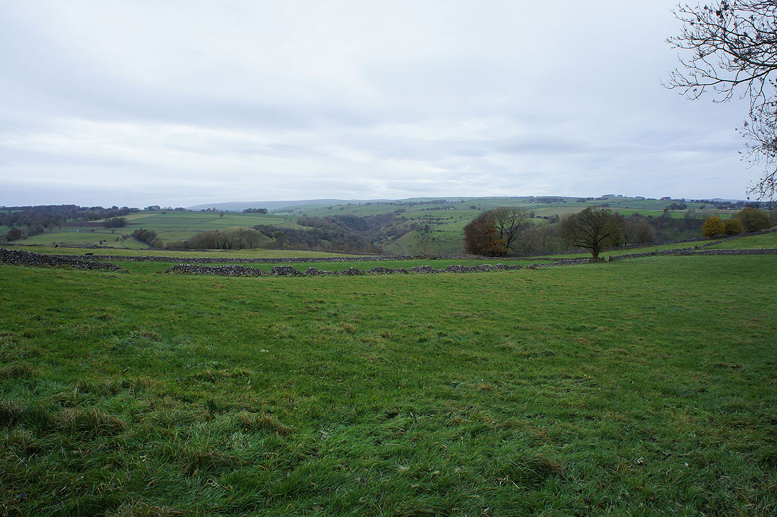
Looking east to the valley of High Dale. I'll be walking through it later in the day.
Looking back and it's a lovely morning for a walk in the White Peak
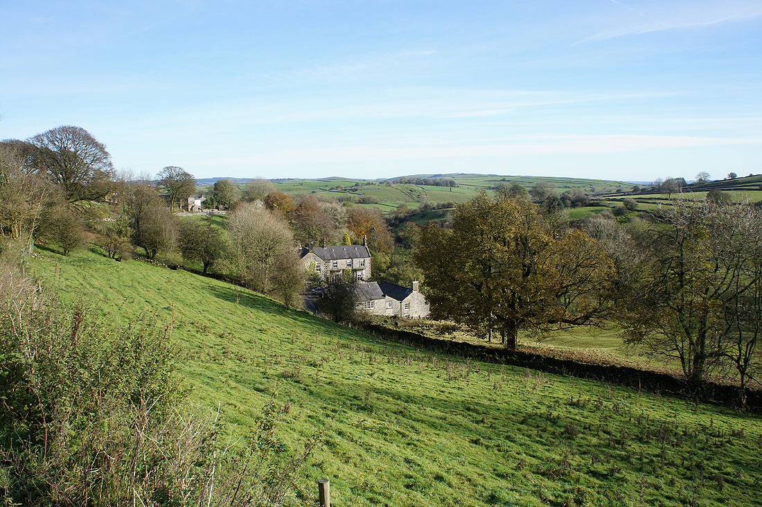
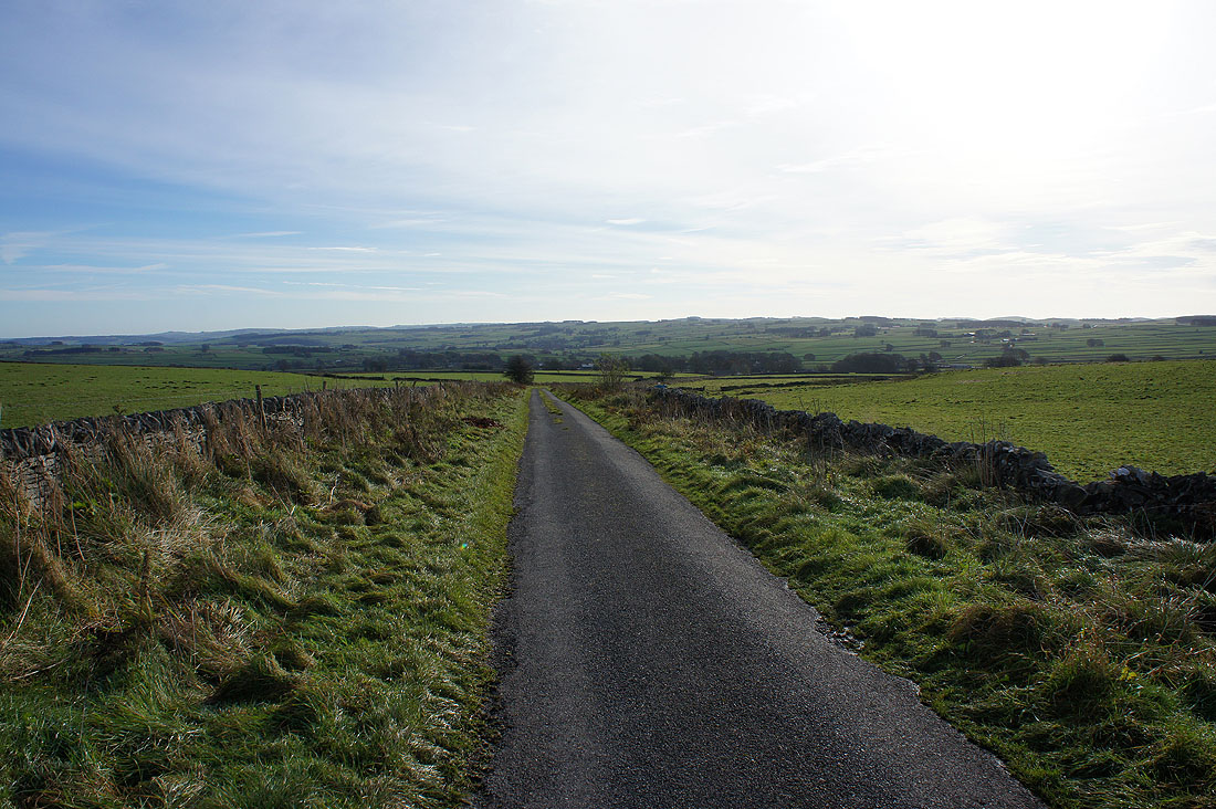
Priestcliffe from Priestcliffe Road
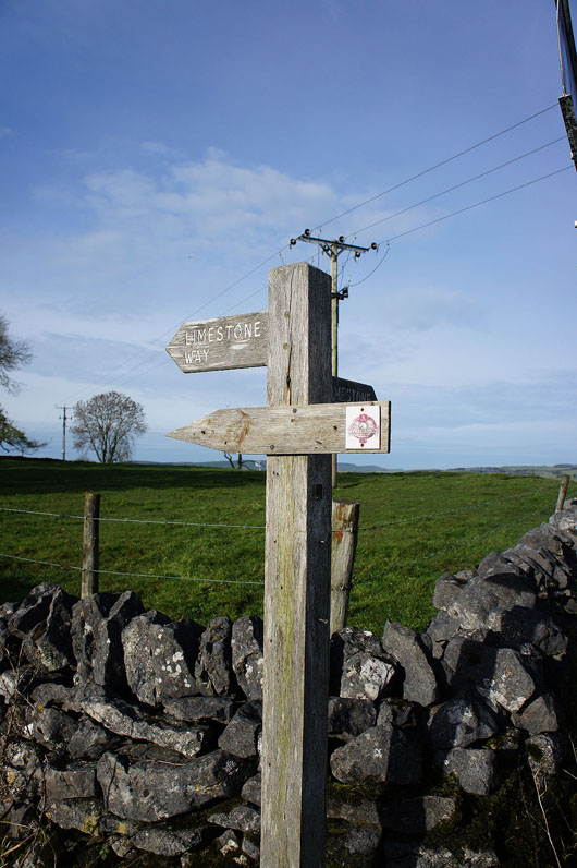
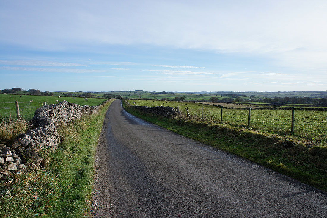
Joining the trail of the Limestone Way
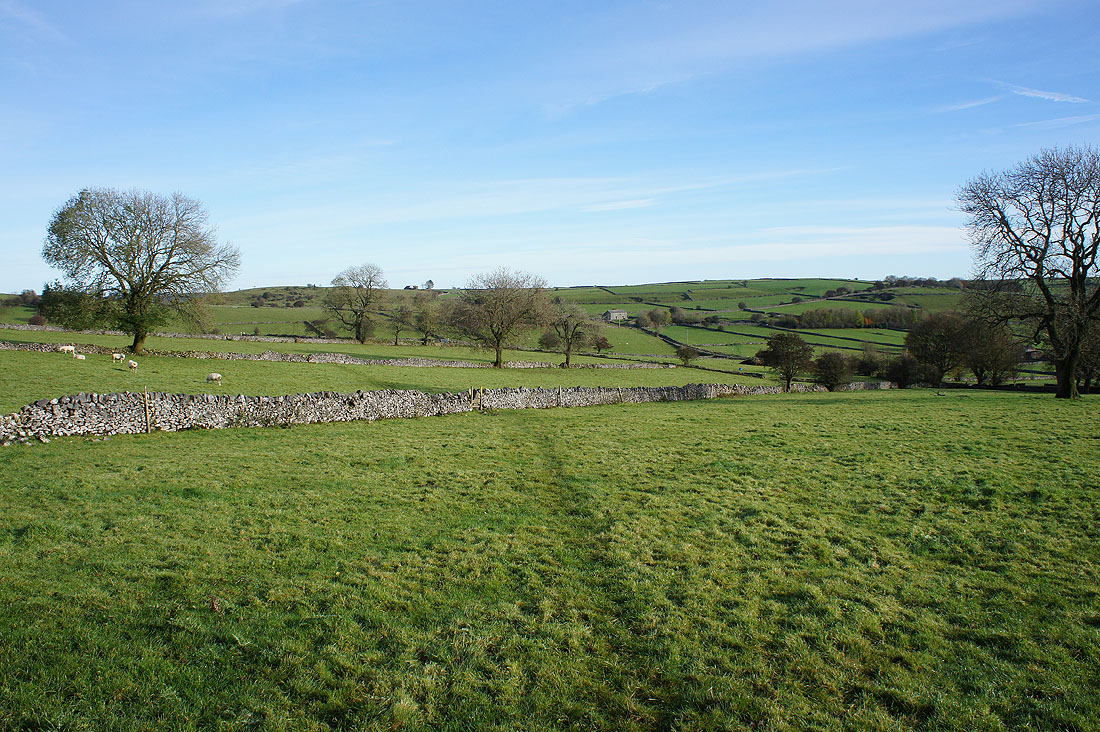
On the byway of Sough Lane after crossing the A6. Looking northeast to Tideswell Moor, Hucklow Edge and Eyam Edge.
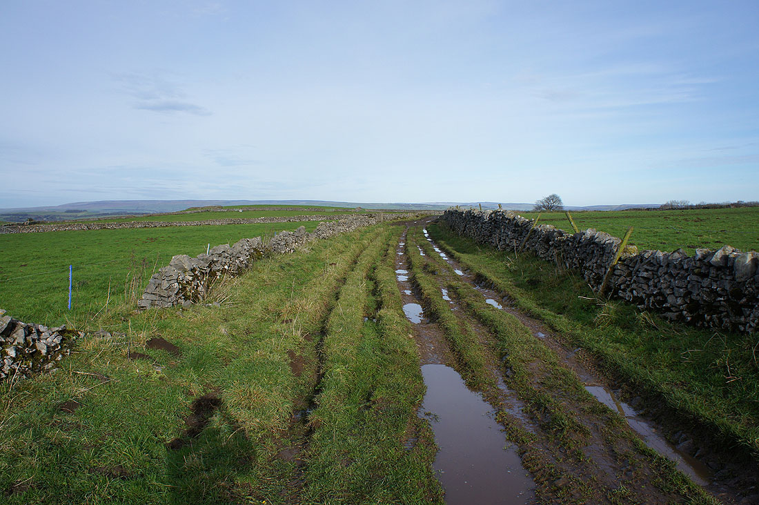
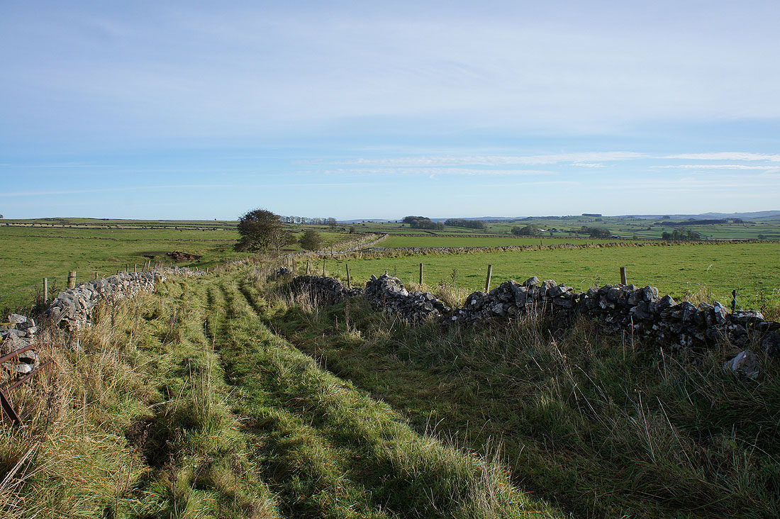
This bit of Sough Lane was badly churned up and rutted..
..but the next bit as I walk south to Moor Lane has a good surface
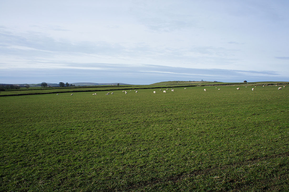
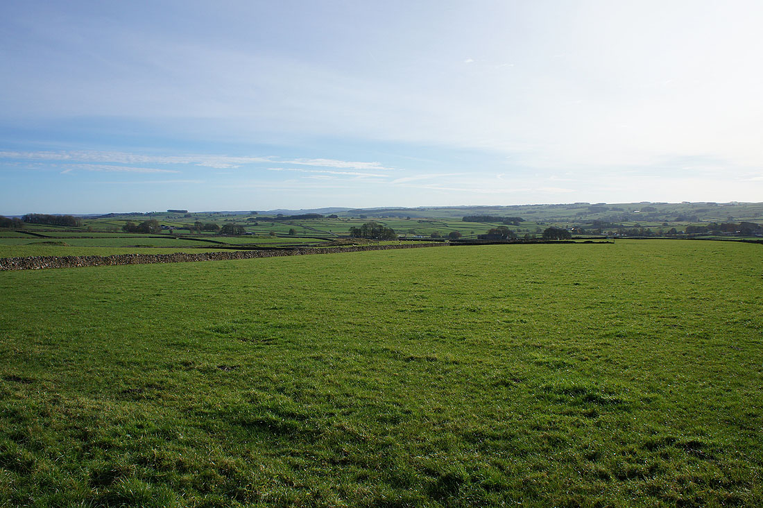
The gentle slopes of Chelmorton Low to the west
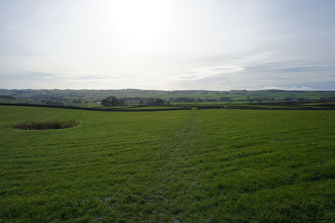
On Green Lane
Then a left turn to head east along Flagg Lane
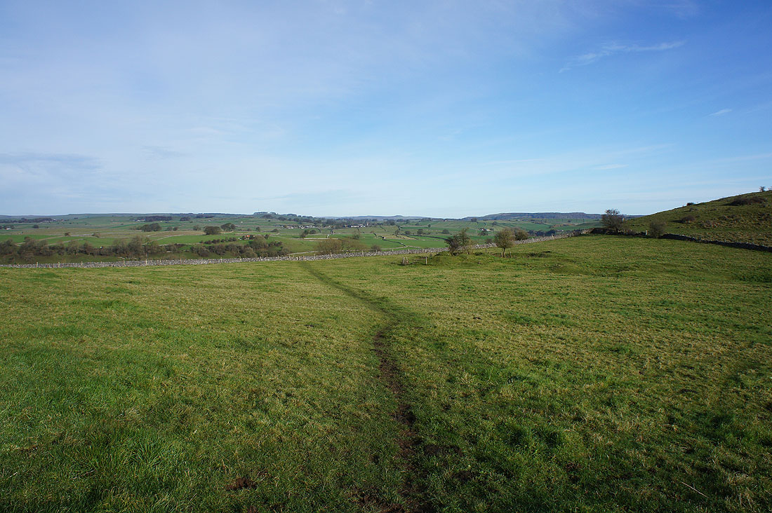
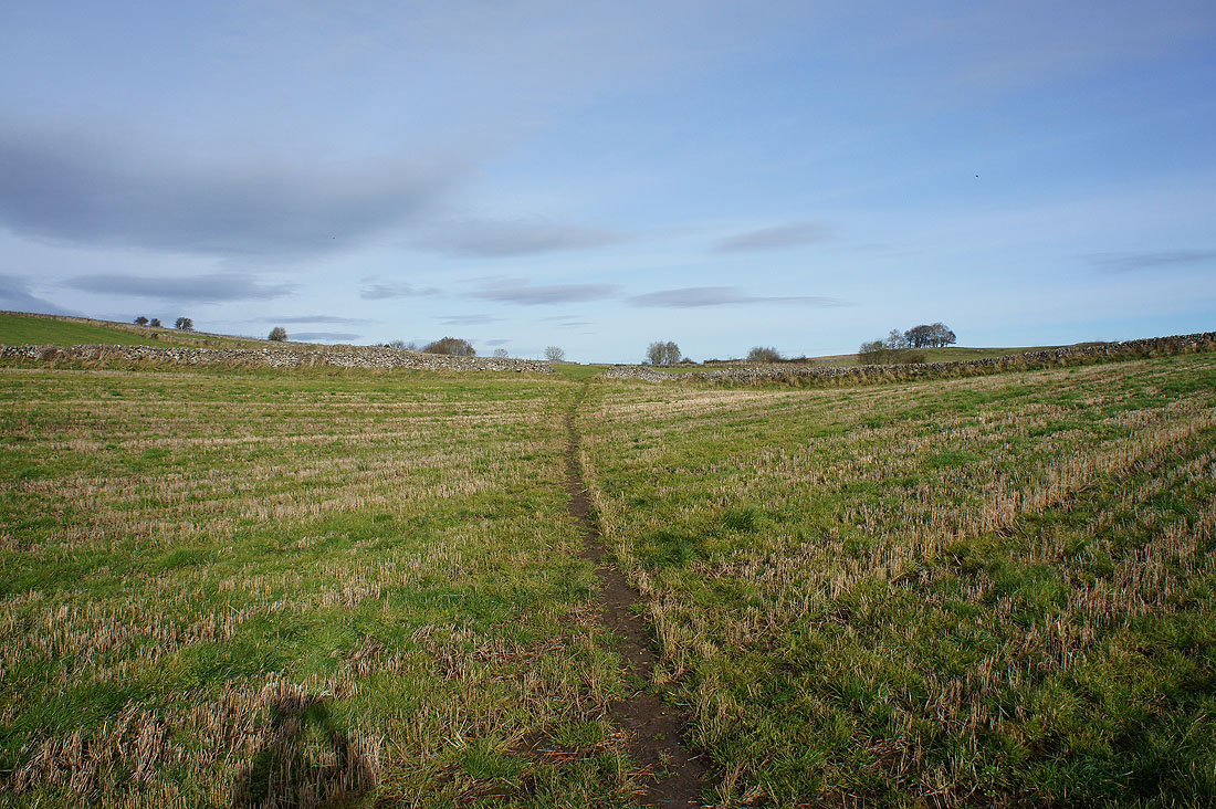
I left Flagg Lane for the green way of Whitefield Lane
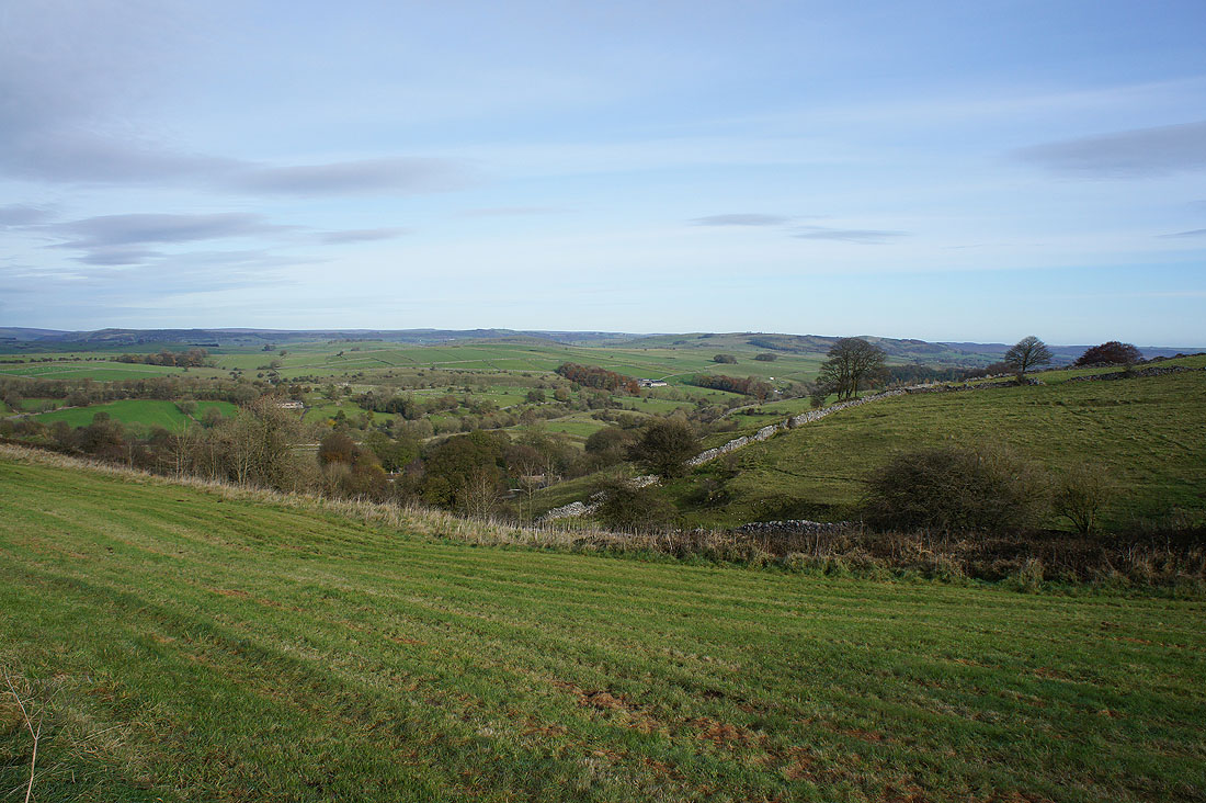
Which gave me lovely views across the countryside of the White Peak..
After a break for lunch sat in the sun against a wall, on a field path up to the road to Taddington
High Field, Eyam Edge and Longstone Moor from above Taddington
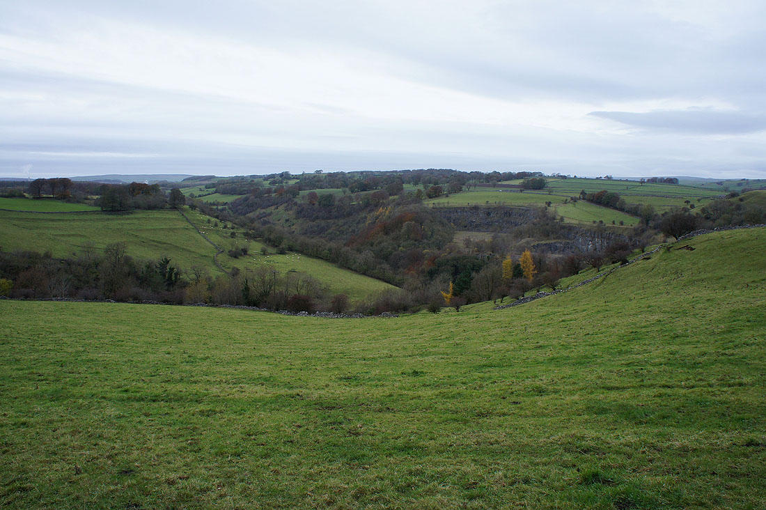
and Longstone Moor, Taddington Dale and Fin Cop
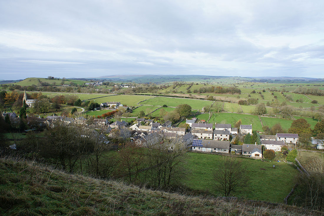
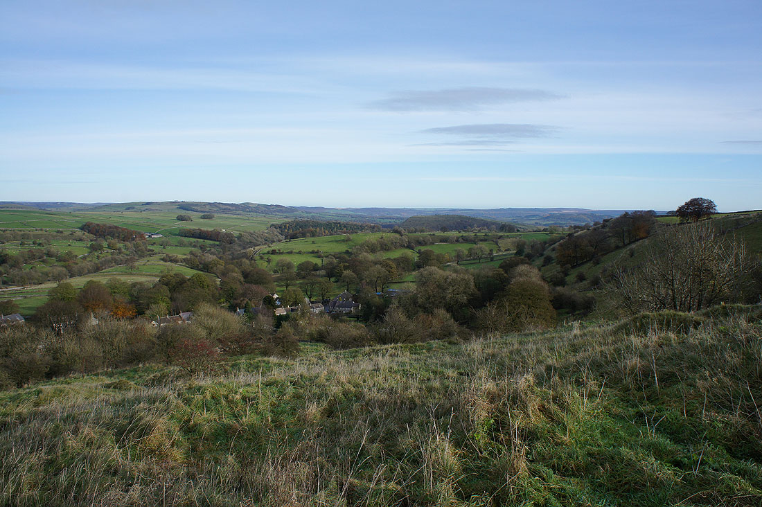
Taddington below. The cloud is increasing and it looks like I'll soon be losing the sunshine.
Looking back towards Taddington after crossing the A6
A wooded Taddington Dale and the bare top of Fin Cop
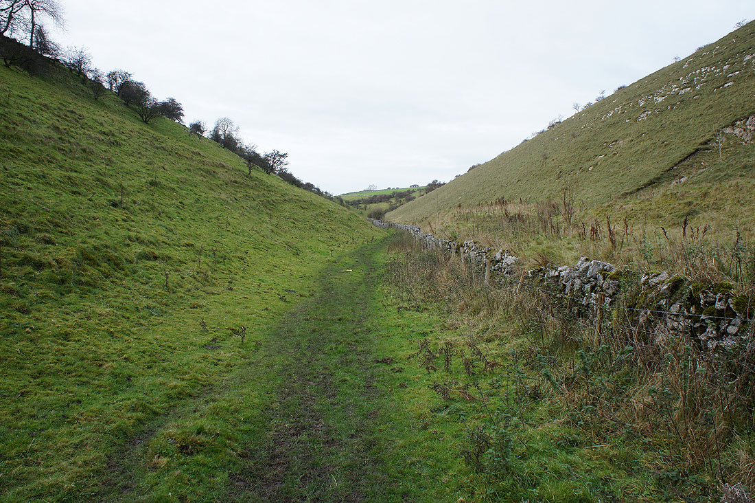
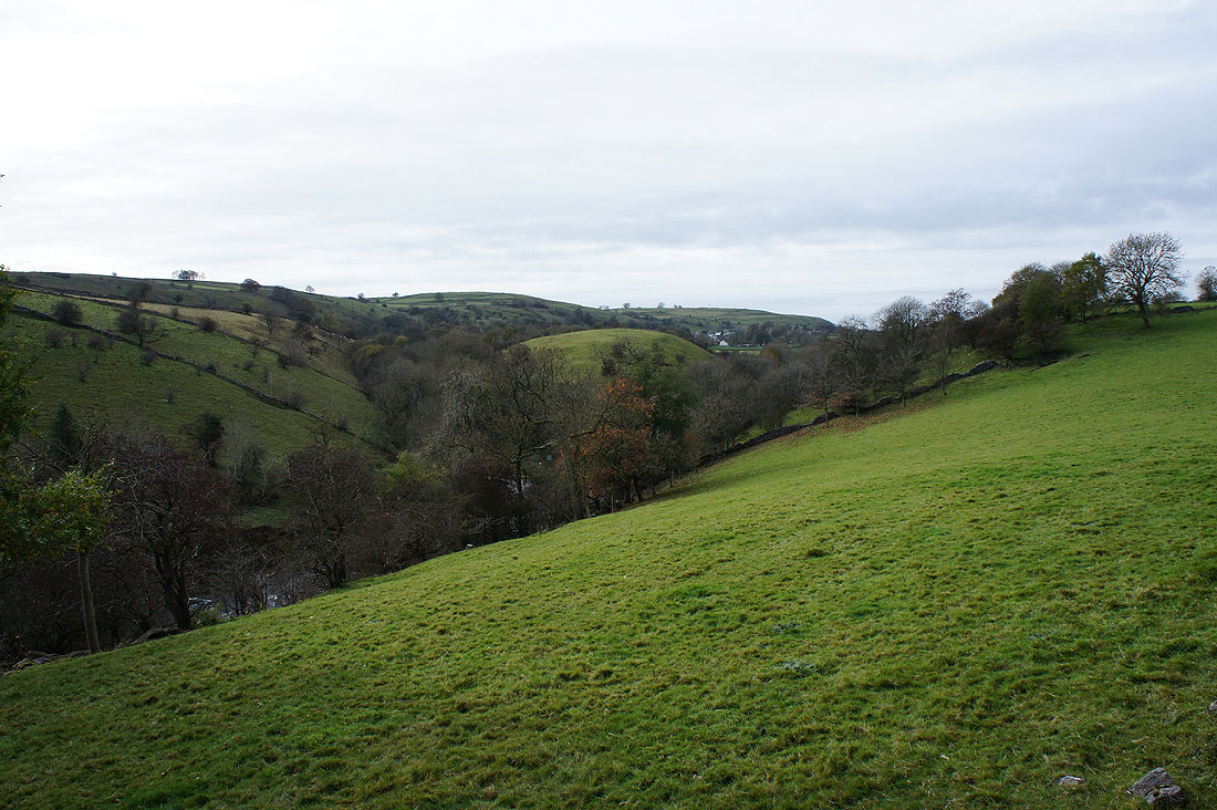
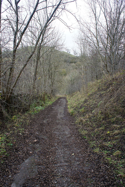
Walking up the limestone valley of High Dale
Looking back as leave High Dale behind
and join Bulltor Lane
A bit of autumn colour left
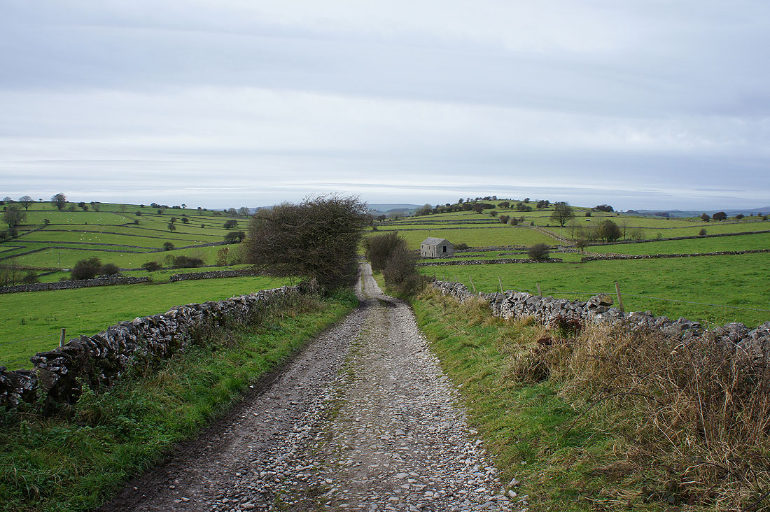
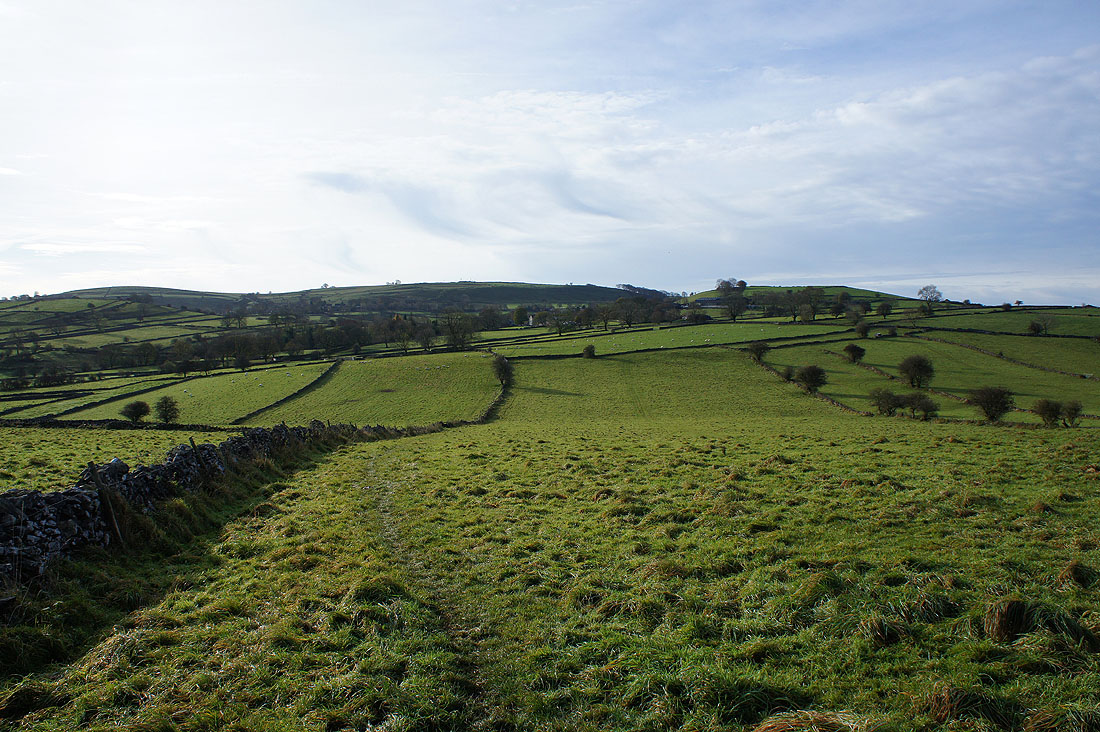
Bulltor Lane..
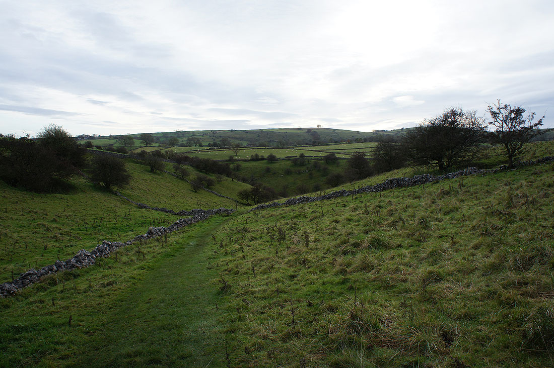
..and Broadway Lane take me back to Priestcliffe
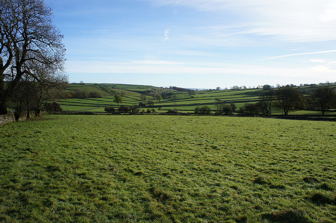
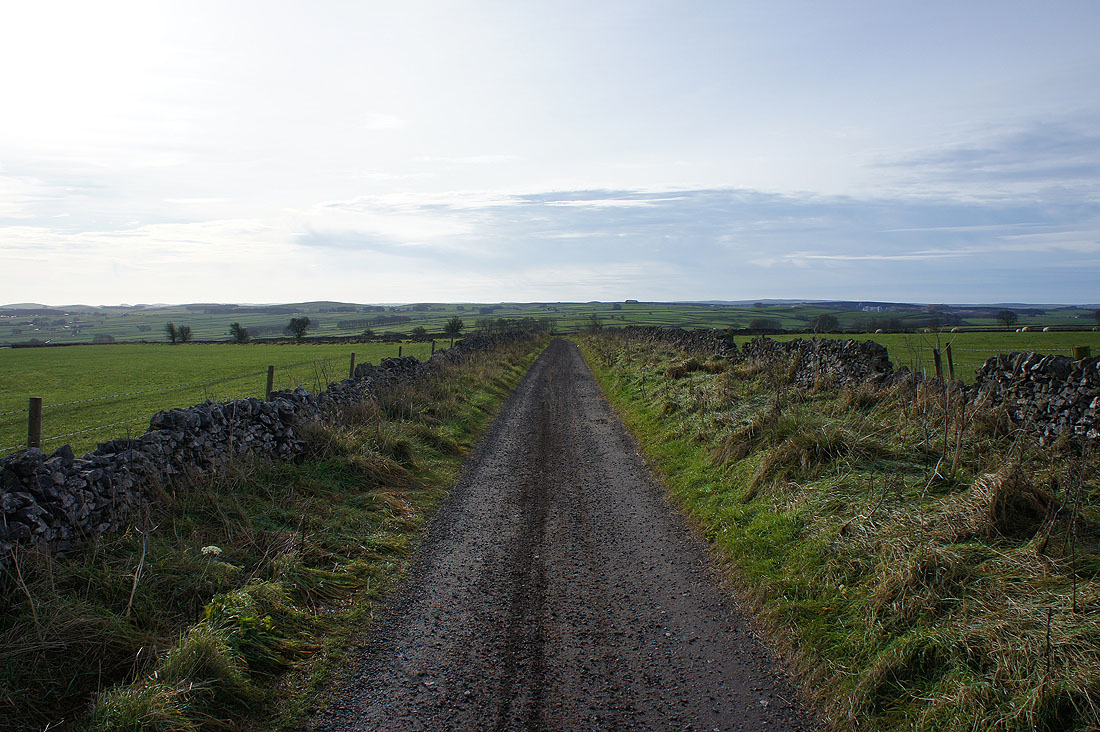
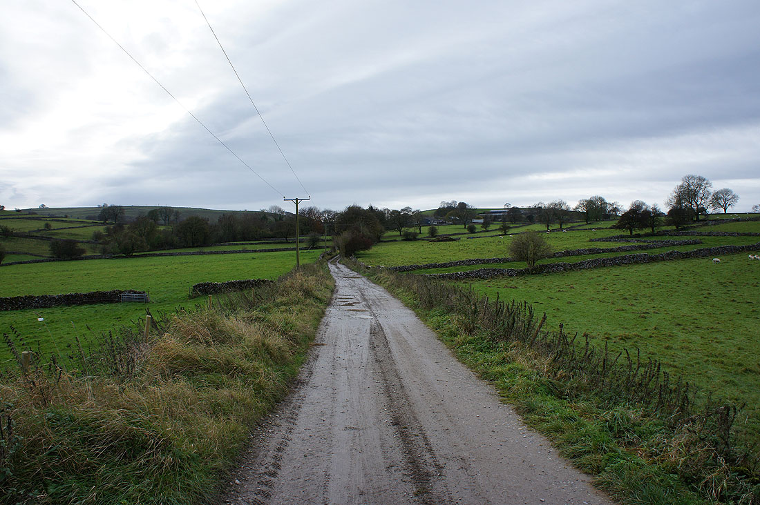
Priestcliffe was left for this byway back to Miller's Dale
The valley of Monk's Dale to the north
Miller's Dale appears..
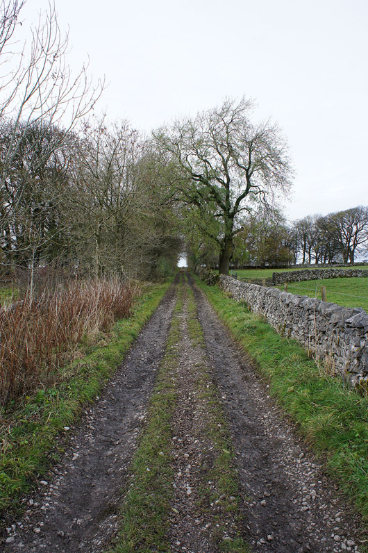
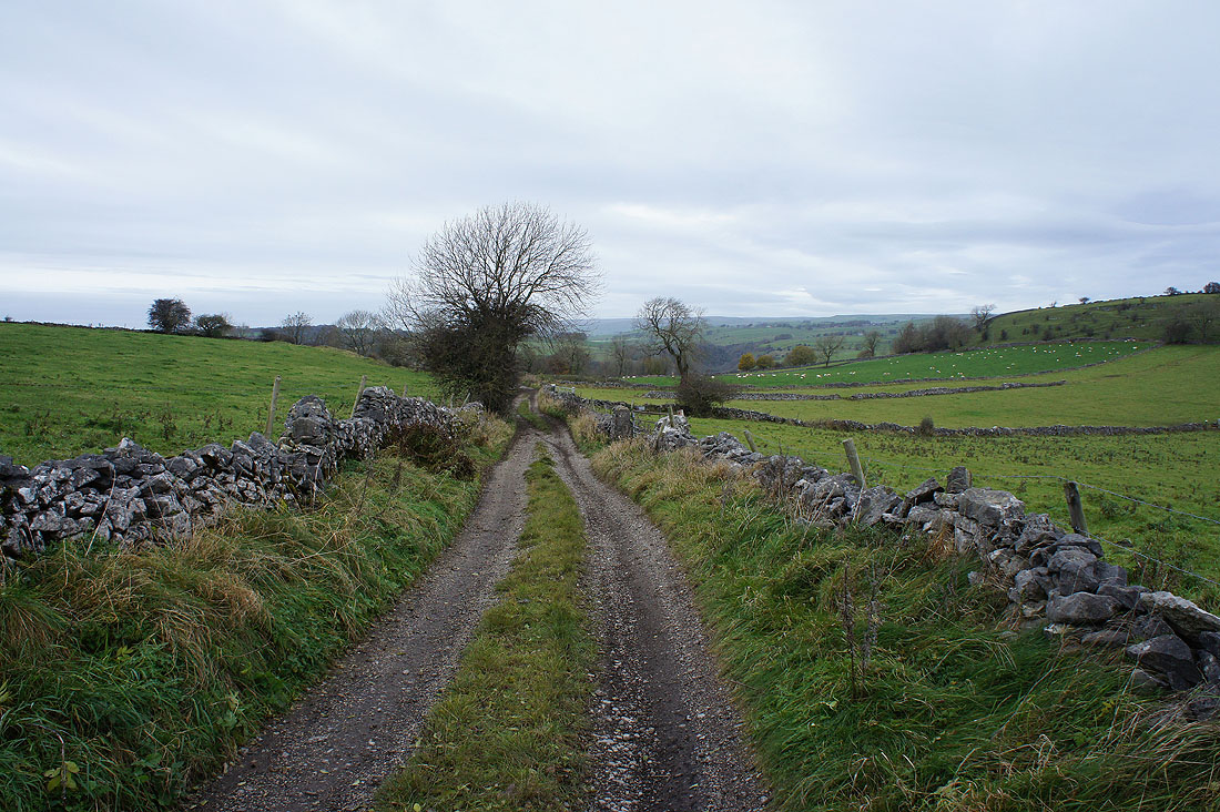
..and I join Long Lane down into the valley
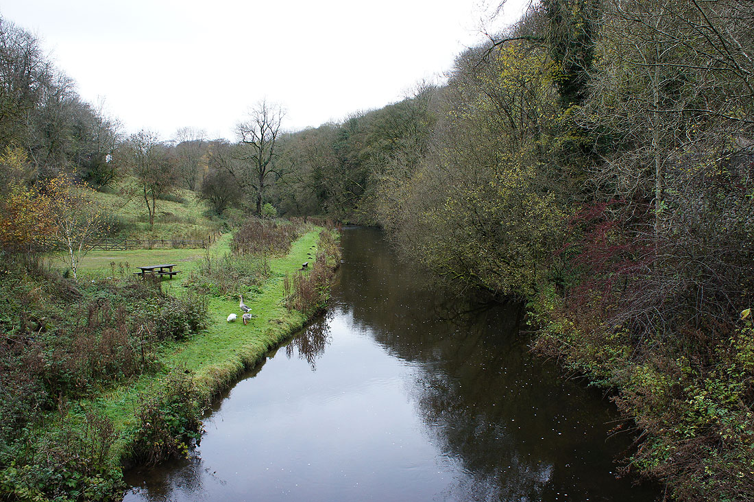
The River Wye in Miller's Dale