13th November 2021 - Crow Hill and Stoodley Pike
Walk Details
Distance walked: 11.4 miles
Total ascent: 1874 ft
OS map used: OL21 - South Pennines
Time taken: 6 hrs
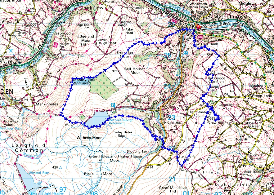
Route description: Scout Road, Mytholmroyd-Hall Bank Lane-Hall Gate-Stake Lane-Miry Lane-Nab End-Moor Bottom Lane-Coppy Nook Lane-High Sones Road-Water Stalls Road-Crow Hill- Water Stalls Road-New Road-Blackstone Edge Road-Cragg Vale-Green Bank-Cragg Brook-Higher House-Turley Holes Edge-Withens Clough Reservoir-Withens Gate-Pennine Way-Stoodley Pike-Dick's Lane-Erringden Moor-Daisy Bank-Nest Lane-Stocks Lane-Cragg Road-Scout Road, Mytholmroyd
At last! After several weekends in a row of having to pick the better day out of a pair with changeable weather, there's a fine autumn day forecast. I decided to head over to Mytholmroyd in the neighbouring South Pennines area of Calderdale and do a route that I'd worked out that would take in some of the moorland around Cragg Vale, a side valley of Calderdale. A good portion of the walk was on territory that was new to me, which has its appeal, it's all too easy for me to stick to what's familiar. I had lots of crisp autumnal sunshine for enjoying the moorland colours, great visibility for taking in the views and a brisk northerly breeze with a bit of a nip to it.
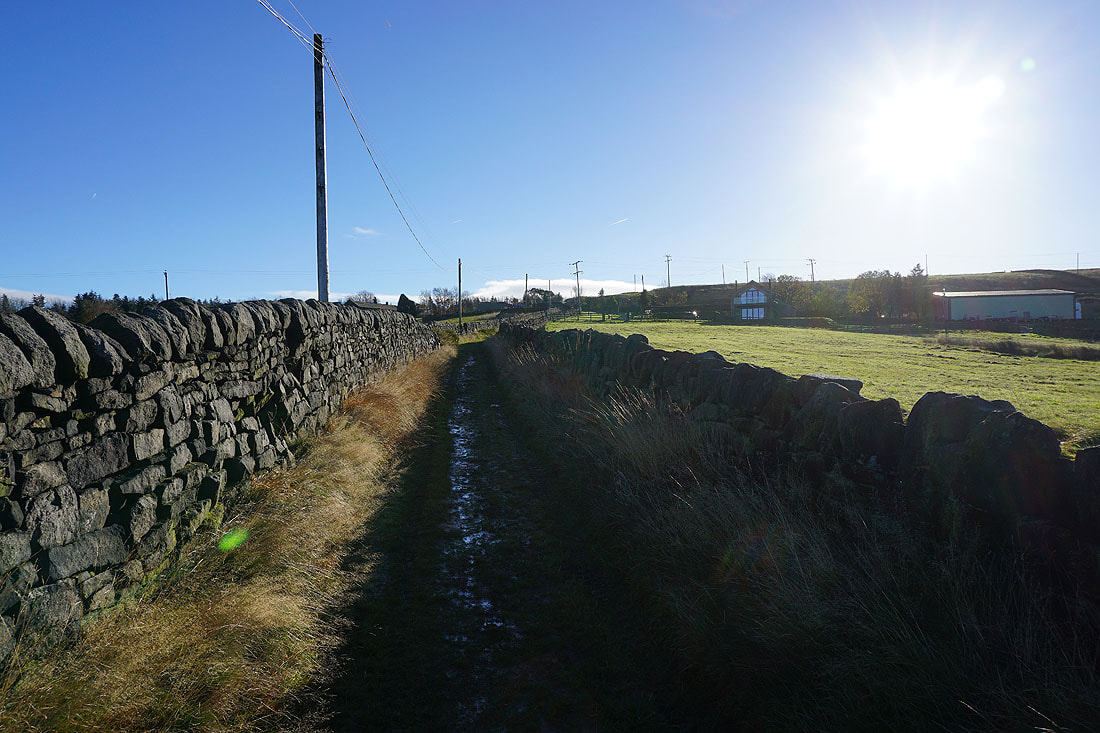
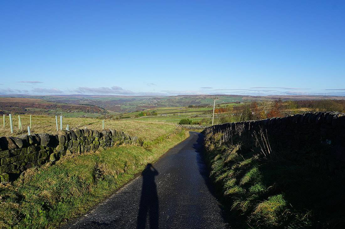
From where I parked on Scout Road in Mytholmroyd I briefly walked up Scout Road, turned right at The Chapel and walked up Hall Bank Lane to Thomson Reuters, then up the narrow lane of Hall Gate to its top, where I took a narrow track on the left to reach Stake Lane. Soon after Stake Lane became tarmacked I joined Stannery End Lane just above it on the right, then soon left this for the bridleway of Miry Lane up onto Nab End, where I turned left onto the track of Moor Bottom Lane. I soon left this for a bridleway on the right past Far Moorside Farm and Moor Side to Coppy Nook Lane, which I walked south along to a track on the left, which I walked up to High Stones Road. After a brief walk east along High Stones Road I reached the track of Water Stalls Road on the right, which I took, but left almost immediately for a bridleway on the left past farm buildings and round the eastern slopes of Crow Hill. A footpath from this bridleway took me to the trig point on the top of Crow Hill. After taking in the view I returned to Water Stalls Road and followed it south to Slate Delfs Hill and a meeting of several bridleways. I took the track on the right and followed it down to New Road, which I crossed, then took the footpath opposite down to Blackstone Edge Road, and after a walk down this road I reached the row of cottages of Green Bank. The public footpath I wanted is through a gap in the wall just before the highest cottage and it took me while to locate as it isn't signposted. Once I'd found it I followed it down to Cragg Brook where I stopped for lunch. After this stop I took the footpath up the opposite hillside to Higher House, then a footpath south onto access land where I picked up a concessionary footpath that took me by a catchwater drain along Turley Holes Edge to Withens Clough Reservoir. I followed the path by the southern shore of the reservoir to its western end, then took the path west up the hillside to Withens Gate, where I joined the Pennine Way to head north to Stoodley Pike. From Stoodley Pike I followed the Pennine Way east before taking the track of Dick's Lane across to Erringden Moor, where I took a footpath east to the edge of Broadhead Clough. I then made my way along the northern edge of the clough until I reached a footpath by a wall on my left to the top of woodland, where I crossed a couple of stiles, and took a footpath down the hillside to Nest Lane. I then walked east along Nest Lane and down Stocks Lane to Cragg Road, where I was left with a short walk back to where I was parked on Scout Road.
Total ascent: 1874 ft
OS map used: OL21 - South Pennines
Time taken: 6 hrs
Route description: Scout Road, Mytholmroyd-Hall Bank Lane-Hall Gate-Stake Lane-Miry Lane-Nab End-Moor Bottom Lane-Coppy Nook Lane-High Sones Road-Water Stalls Road-Crow Hill- Water Stalls Road-New Road-Blackstone Edge Road-Cragg Vale-Green Bank-Cragg Brook-Higher House-Turley Holes Edge-Withens Clough Reservoir-Withens Gate-Pennine Way-Stoodley Pike-Dick's Lane-Erringden Moor-Daisy Bank-Nest Lane-Stocks Lane-Cragg Road-Scout Road, Mytholmroyd
At last! After several weekends in a row of having to pick the better day out of a pair with changeable weather, there's a fine autumn day forecast. I decided to head over to Mytholmroyd in the neighbouring South Pennines area of Calderdale and do a route that I'd worked out that would take in some of the moorland around Cragg Vale, a side valley of Calderdale. A good portion of the walk was on territory that was new to me, which has its appeal, it's all too easy for me to stick to what's familiar. I had lots of crisp autumnal sunshine for enjoying the moorland colours, great visibility for taking in the views and a brisk northerly breeze with a bit of a nip to it.
From where I parked on Scout Road in Mytholmroyd I briefly walked up Scout Road, turned right at The Chapel and walked up Hall Bank Lane to Thomson Reuters, then up the narrow lane of Hall Gate to its top, where I took a narrow track on the left to reach Stake Lane. Soon after Stake Lane became tarmacked I joined Stannery End Lane just above it on the right, then soon left this for the bridleway of Miry Lane up onto Nab End, where I turned left onto the track of Moor Bottom Lane. I soon left this for a bridleway on the right past Far Moorside Farm and Moor Side to Coppy Nook Lane, which I walked south along to a track on the left, which I walked up to High Stones Road. After a brief walk east along High Stones Road I reached the track of Water Stalls Road on the right, which I took, but left almost immediately for a bridleway on the left past farm buildings and round the eastern slopes of Crow Hill. A footpath from this bridleway took me to the trig point on the top of Crow Hill. After taking in the view I returned to Water Stalls Road and followed it south to Slate Delfs Hill and a meeting of several bridleways. I took the track on the right and followed it down to New Road, which I crossed, then took the footpath opposite down to Blackstone Edge Road, and after a walk down this road I reached the row of cottages of Green Bank. The public footpath I wanted is through a gap in the wall just before the highest cottage and it took me while to locate as it isn't signposted. Once I'd found it I followed it down to Cragg Brook where I stopped for lunch. After this stop I took the footpath up the opposite hillside to Higher House, then a footpath south onto access land where I picked up a concessionary footpath that took me by a catchwater drain along Turley Holes Edge to Withens Clough Reservoir. I followed the path by the southern shore of the reservoir to its western end, then took the path west up the hillside to Withens Gate, where I joined the Pennine Way to head north to Stoodley Pike. From Stoodley Pike I followed the Pennine Way east before taking the track of Dick's Lane across to Erringden Moor, where I took a footpath east to the edge of Broadhead Clough. I then made my way along the northern edge of the clough until I reached a footpath by a wall on my left to the top of woodland, where I crossed a couple of stiles, and took a footpath down the hillside to Nest Lane. I then walked east along Nest Lane and down Stocks Lane to Cragg Road, where I was left with a short walk back to where I was parked on Scout Road.
Route map
© Crown copyright. All rights reserved. License number PU 100034184.
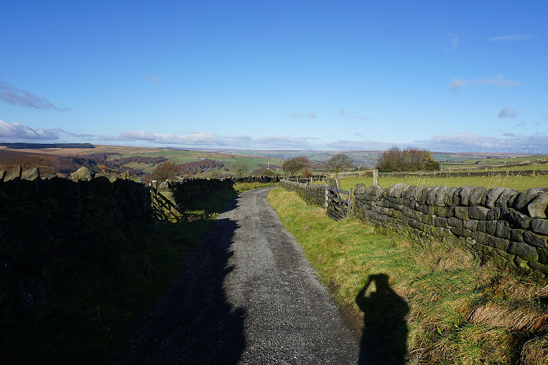
Leaving Mytholmroyd and Calderdale behind as I head up Hall Gate
A short time later and I leave Stake Lane for the bridleway of Miry Lane up to Nab End
Looking back along Miry Lane and across Calderdale to the moorland around Luddenden Dean
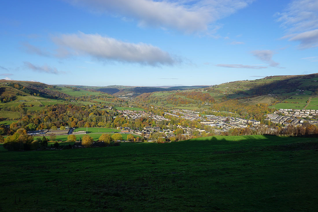
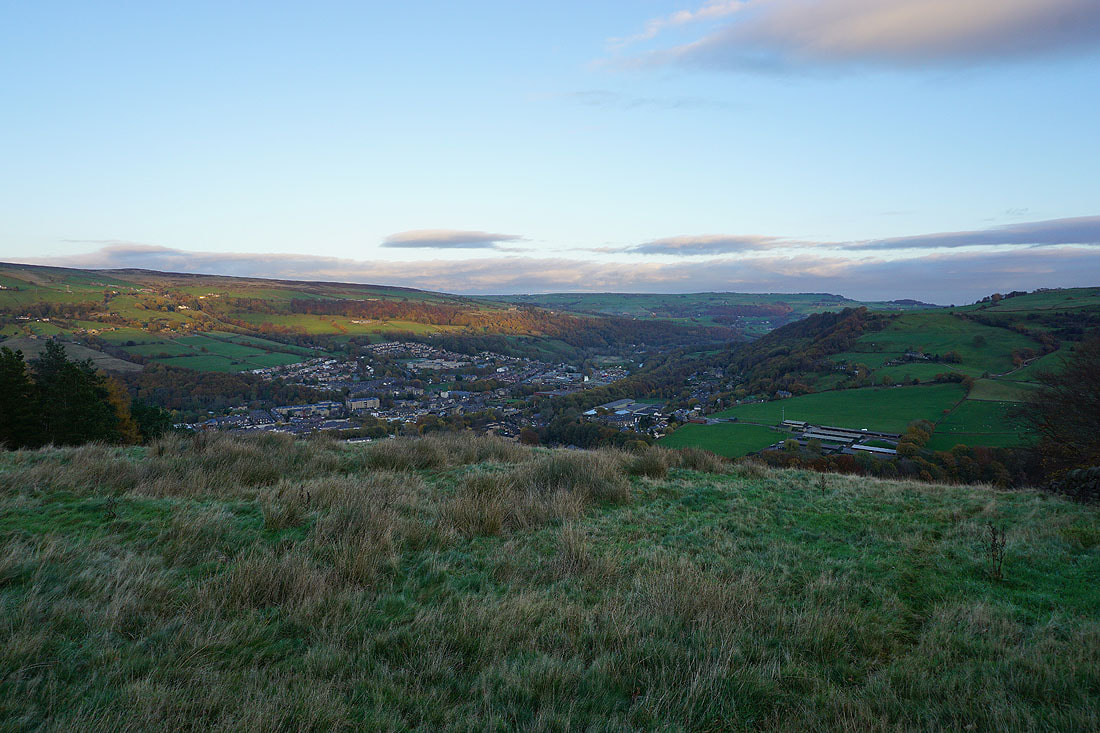
and west along Calderdale to Hebden Bridge
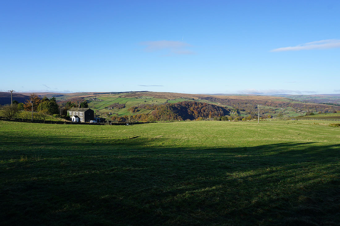
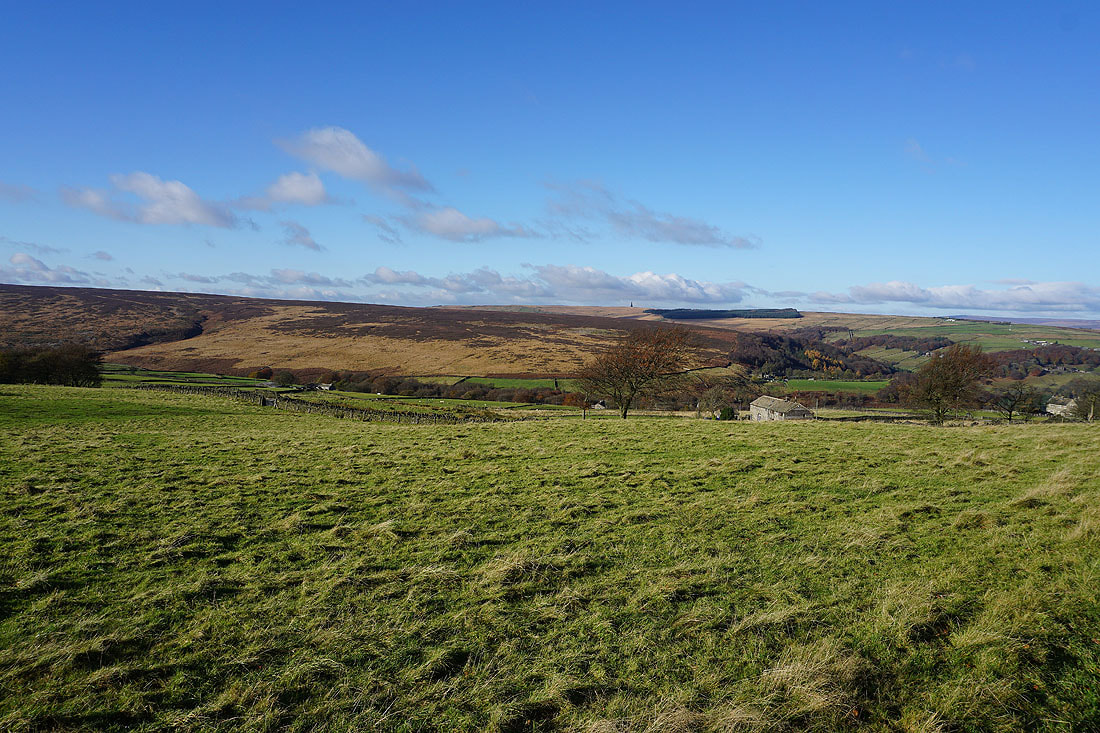
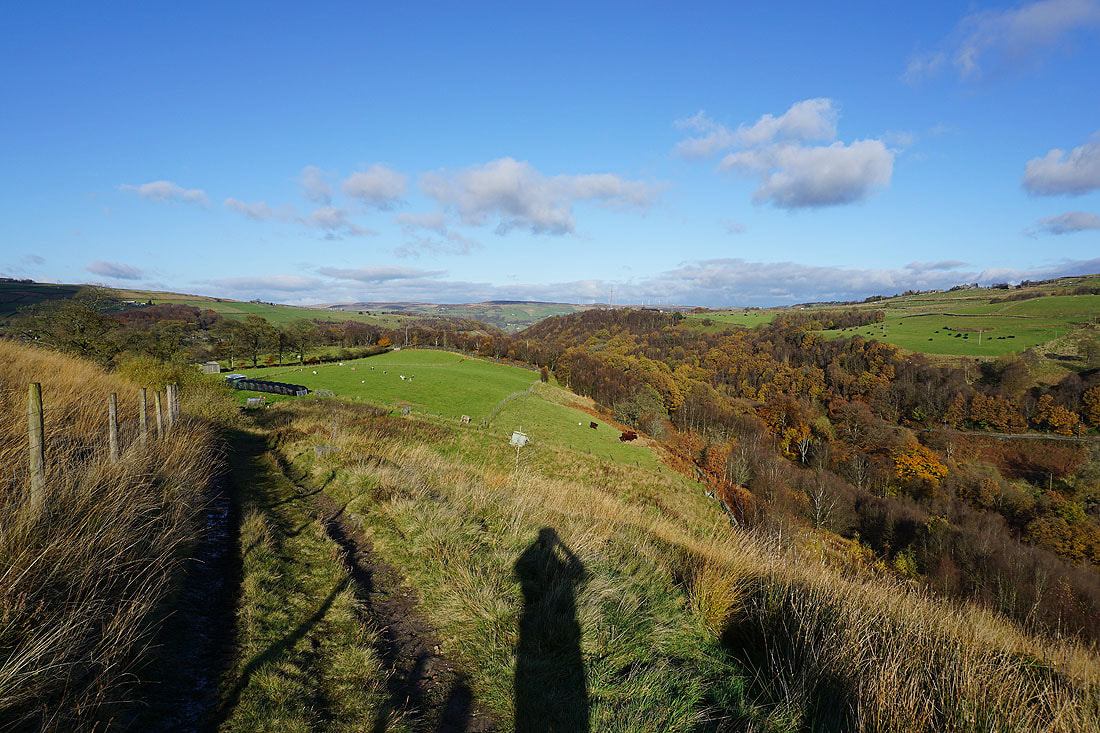
On Nab End. Bell House Moor and Erringden Moor on the other side of Cragg Vale.
Heading up Moor Bottom Lane from Nab End. Just ahead I'll leave it for a bridleway on the right.
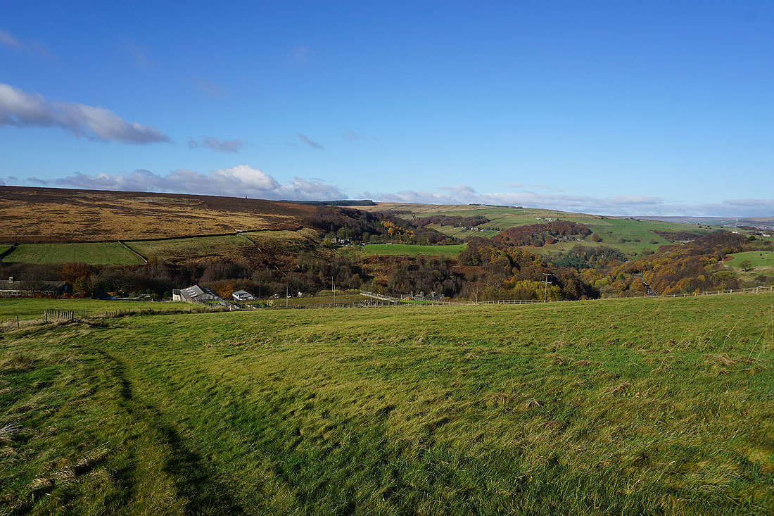
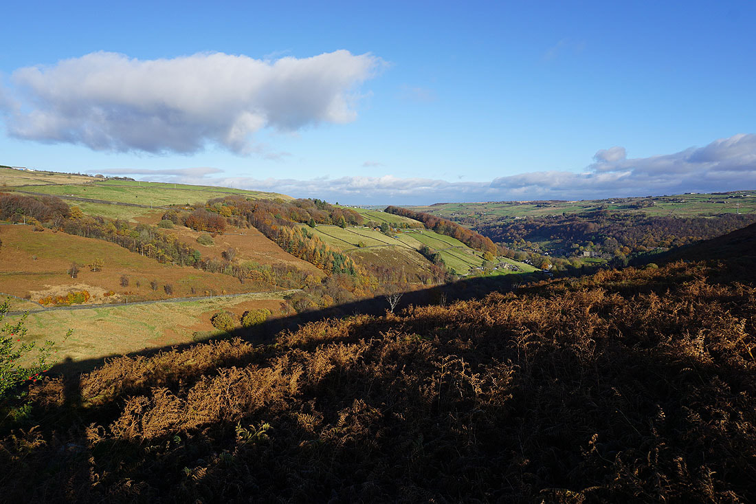
Erringden Moor and Calderdale from the bridleway south to Coppy Nook Lane
Looking across Cragg Vale to Bell House Moor and Erringden Moor from Coppy Nook Lane
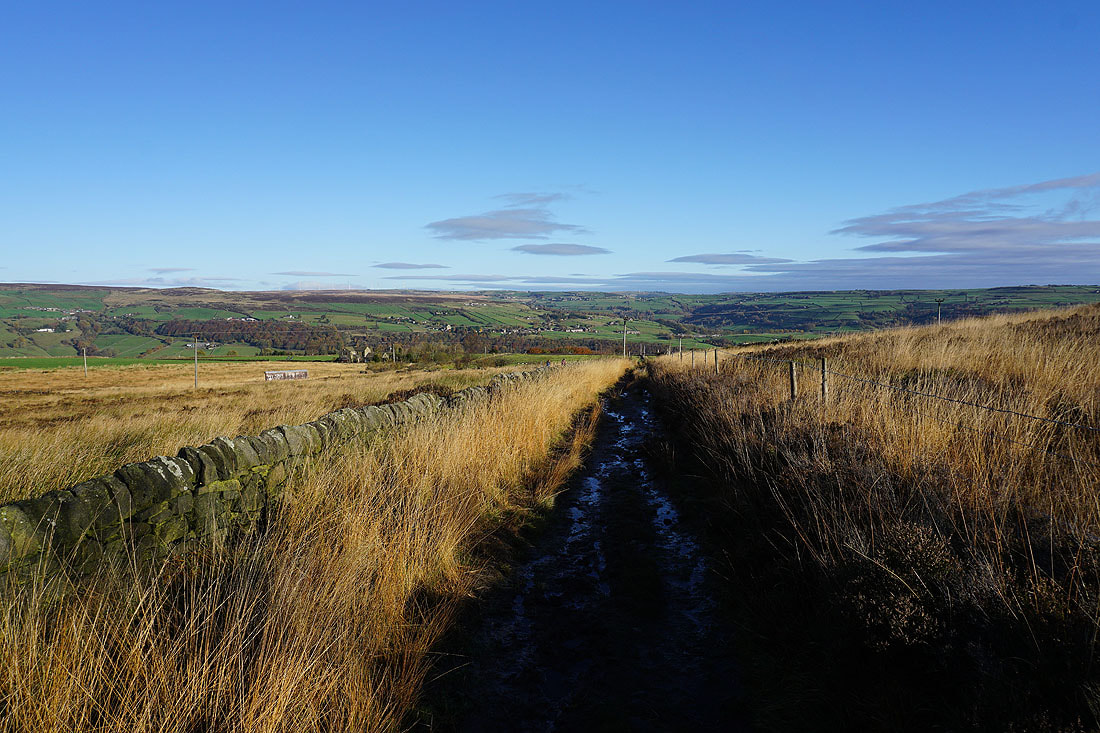
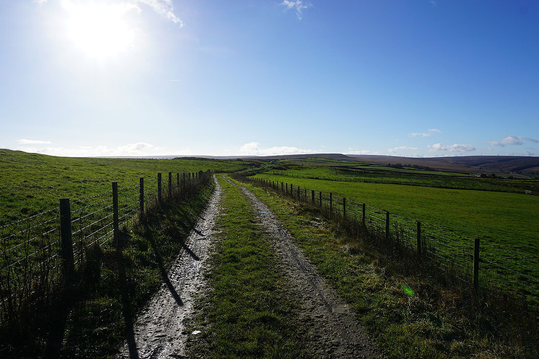
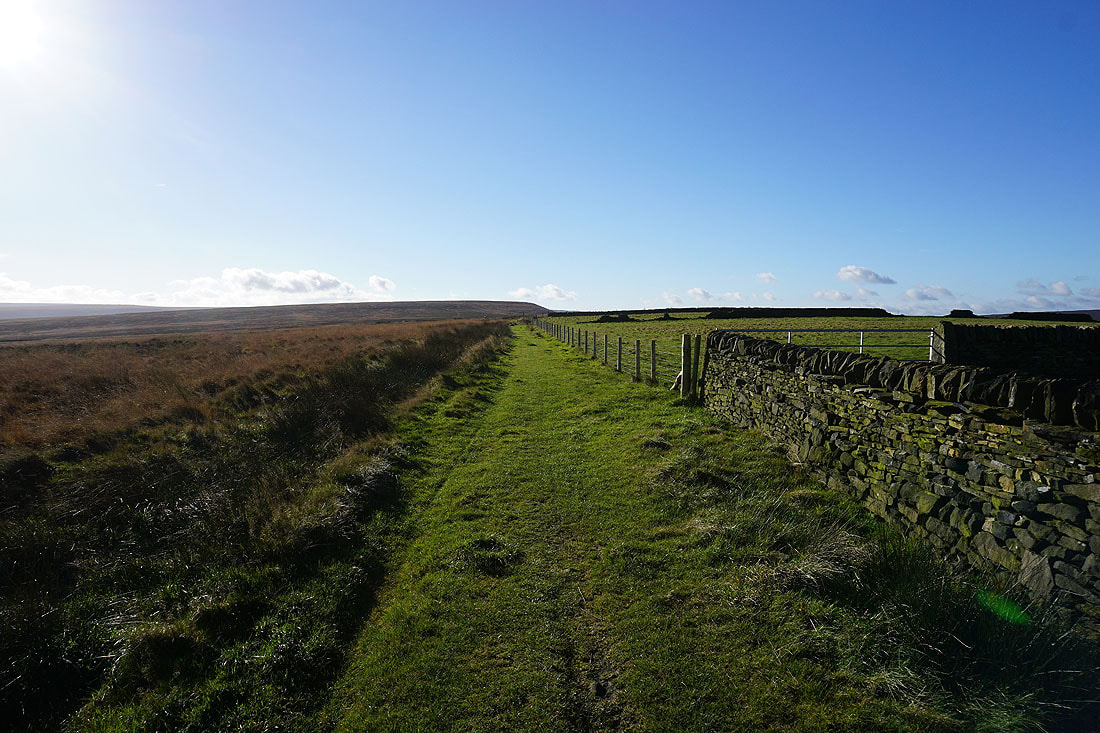
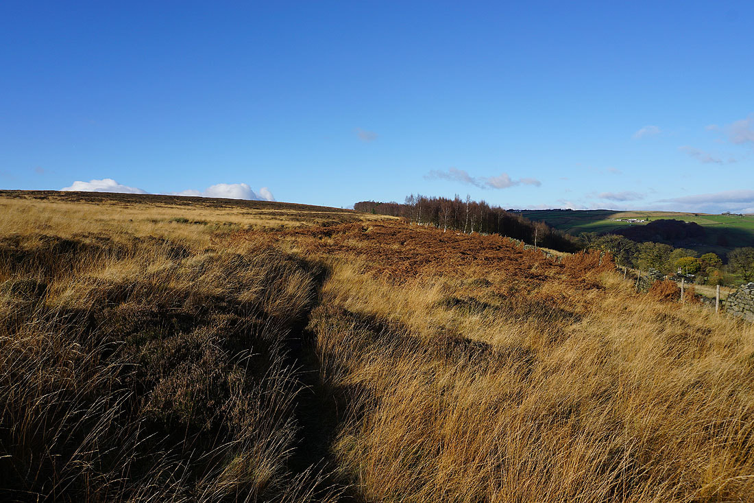
I soon leave Coppy Nook Lane for a bridleway up to High Stones Road
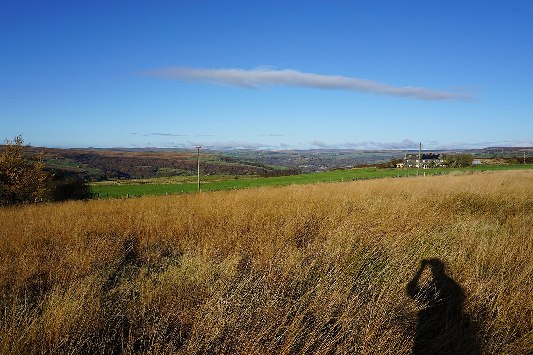
Looking back down the bridleway as I reach High Stones Road to the moorland around Hebden Bridge in the distance
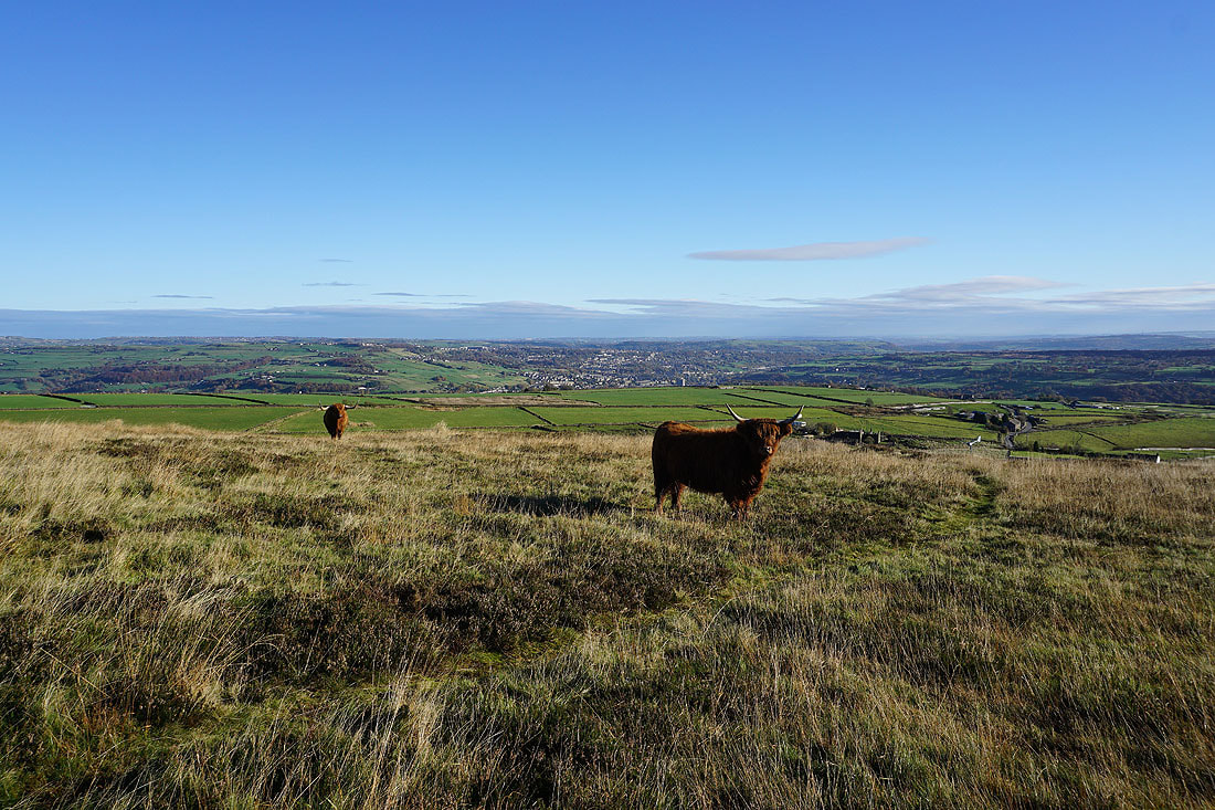
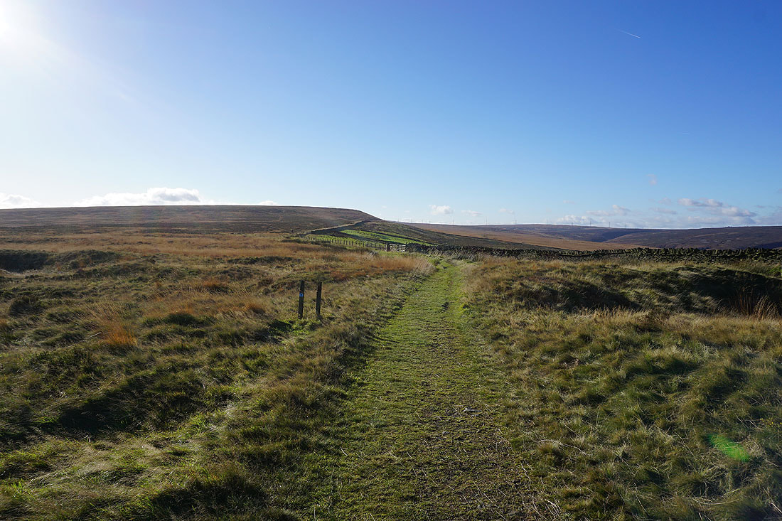
After leaving High Stones Road for the bridleway of Water Stalls Road, I leave Water Stalls Road for a bridleway round the eastern side of Crow Hill, then leave that for a footpath to the top of Crow Hill. A few Highland cattle are surprised to see me as I pass them on the way up to the trig point.
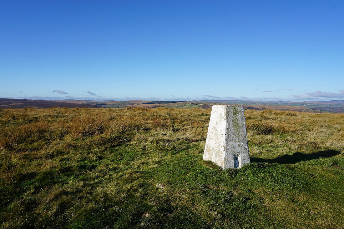
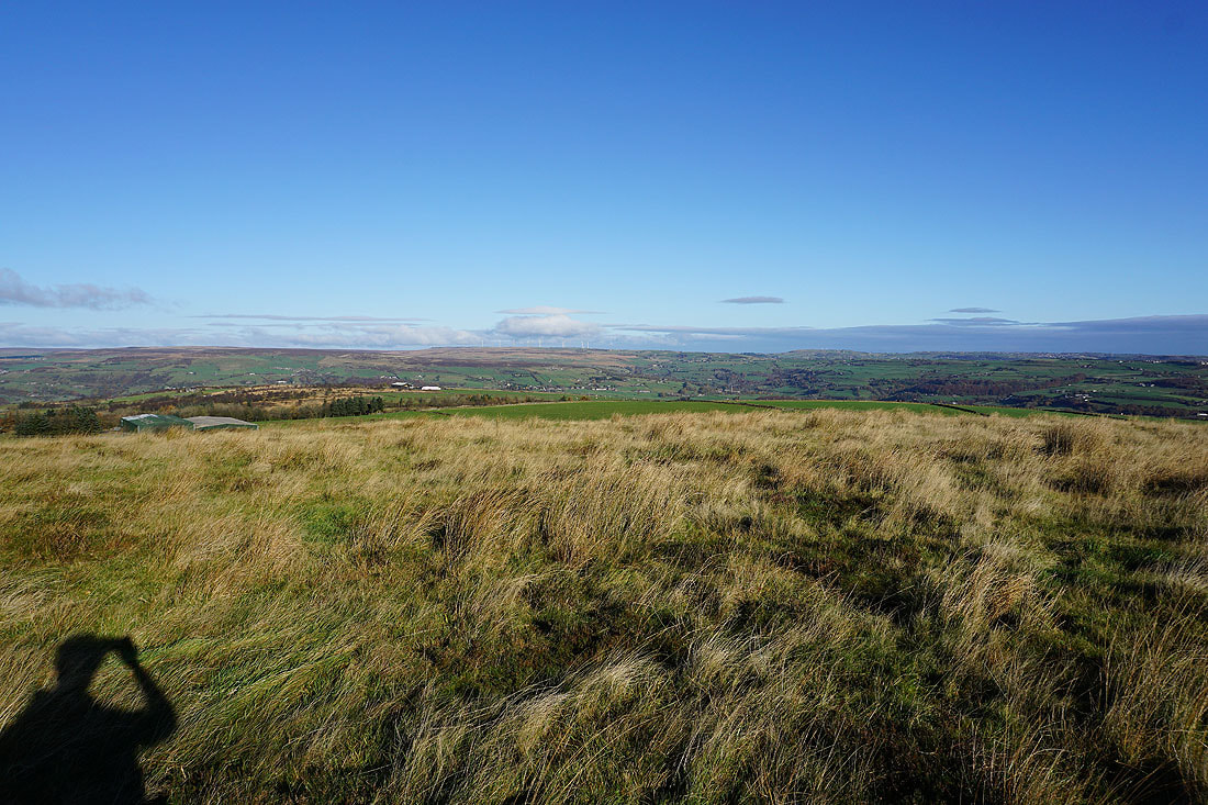
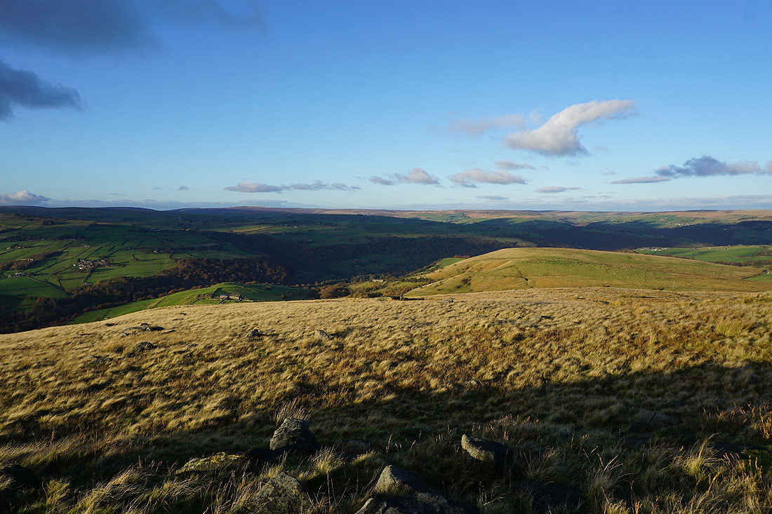
At the trig point on Crow Hill with the moorland on the other side of Cragg Vale behind. I can make out the monument on Stoodley Pike.
Looking to the southeast and I could make out the transmitter on Emley Moor
and southwest to Great Manshead Hill and Soyland Moor
Midgley Moor and Ovenden Moor to the north on the other side of Calderdale
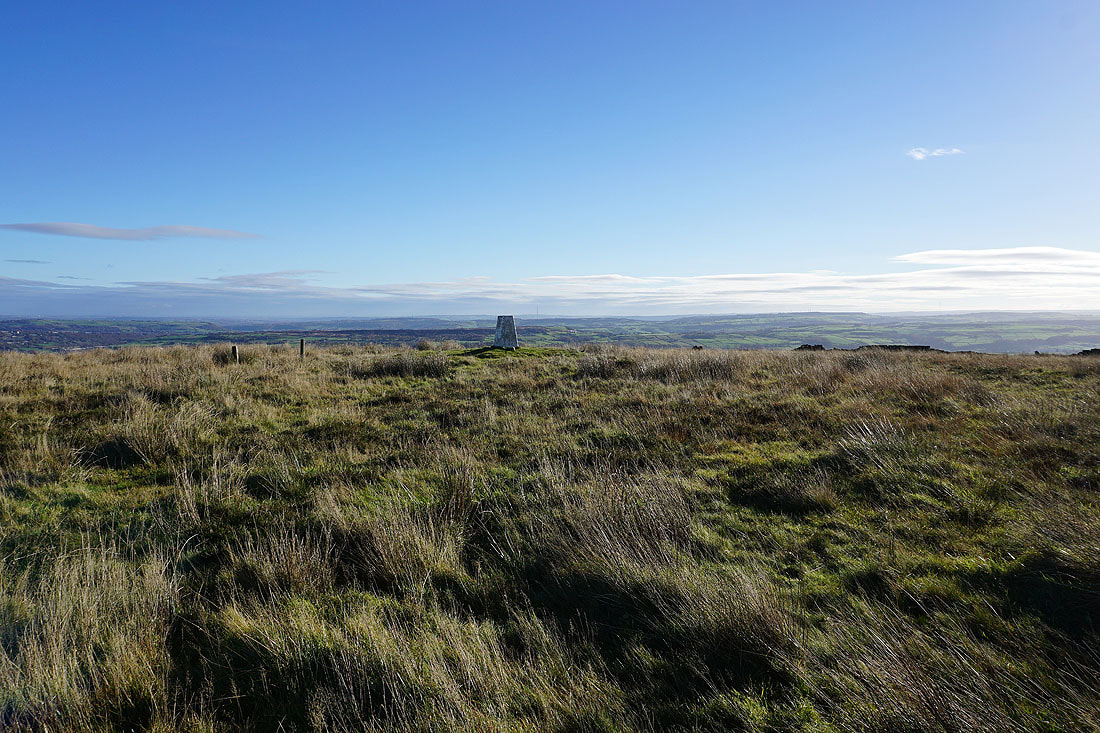
Looking across the moorland around the valley of the River Ryburn as I head back down to the bridleway below Crow Hill
On the bridleway beneath Crow Hill and heading back to Water Stalls Road
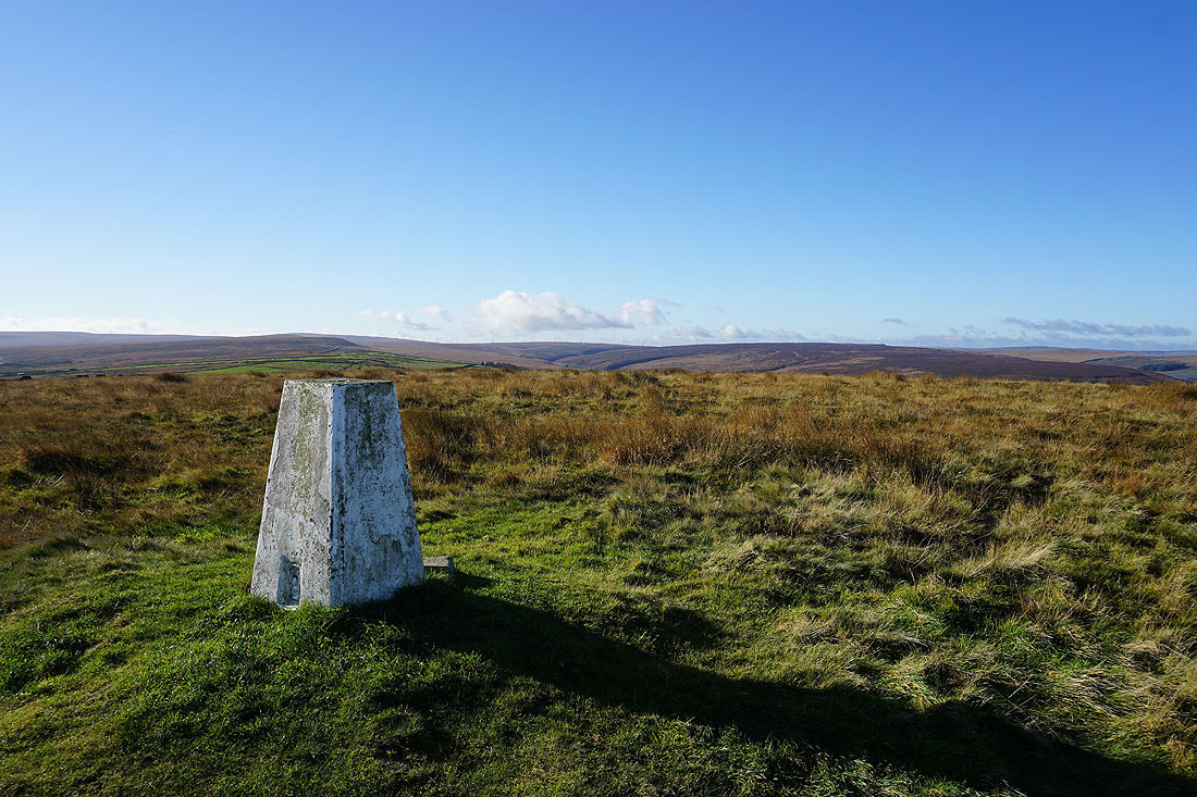
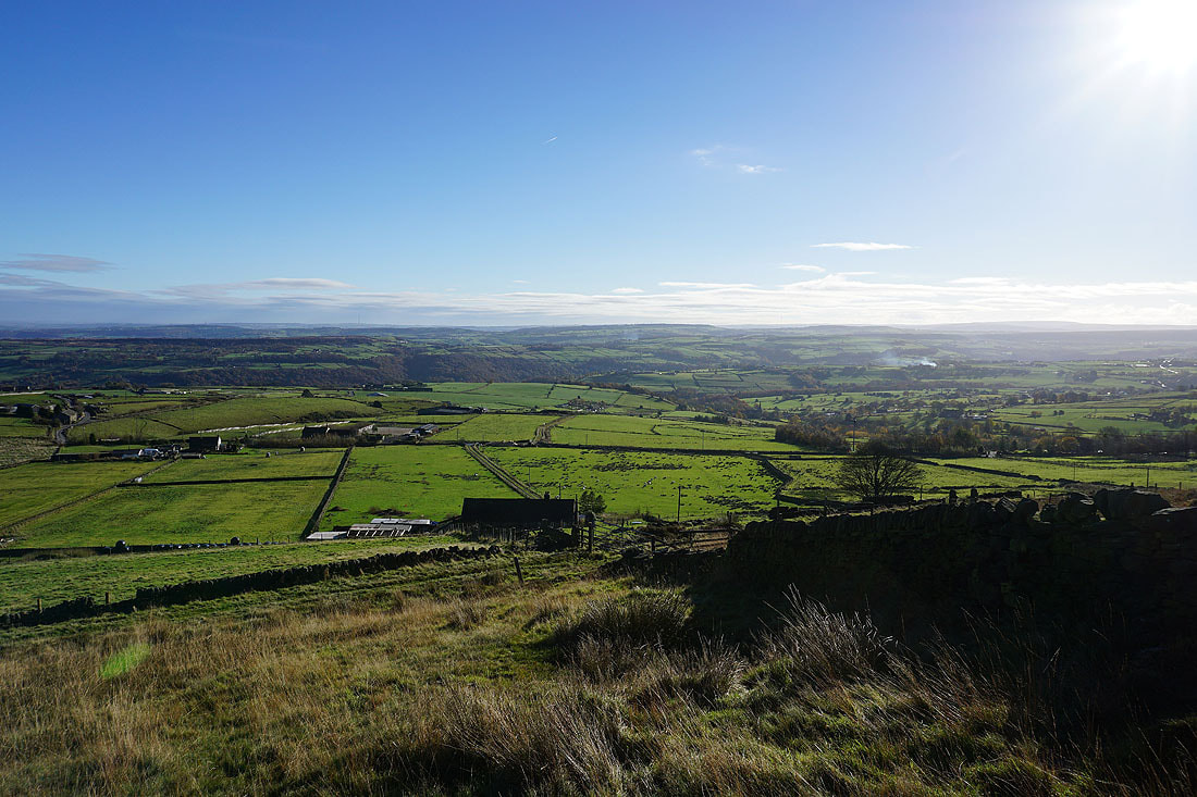
Erringden Moor and Calderdale from Water Stalls Road
Heading south on Water Stalls Road
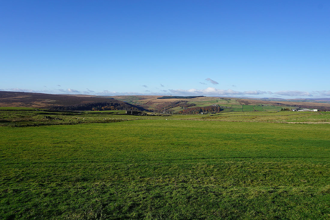
Looking across Cragg Vale to Higher House Moor, Withens Clough and Bell House Moor
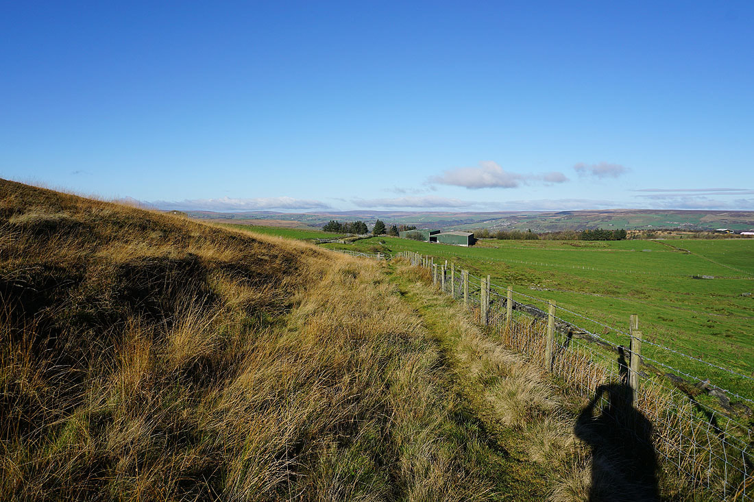
and back along Water Stalls Road, with Crow Hill on the right
To the east, the moorland around Ripponden
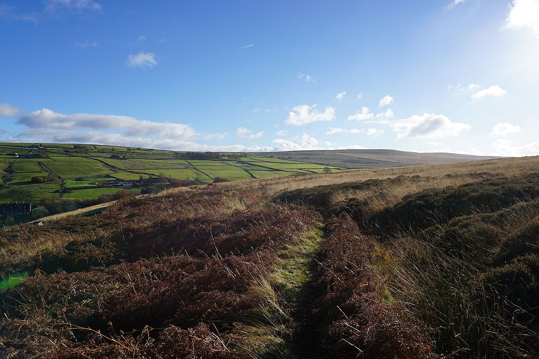
As I continue south along Water Stalls Road the moorland rises to Great Manshead Hill
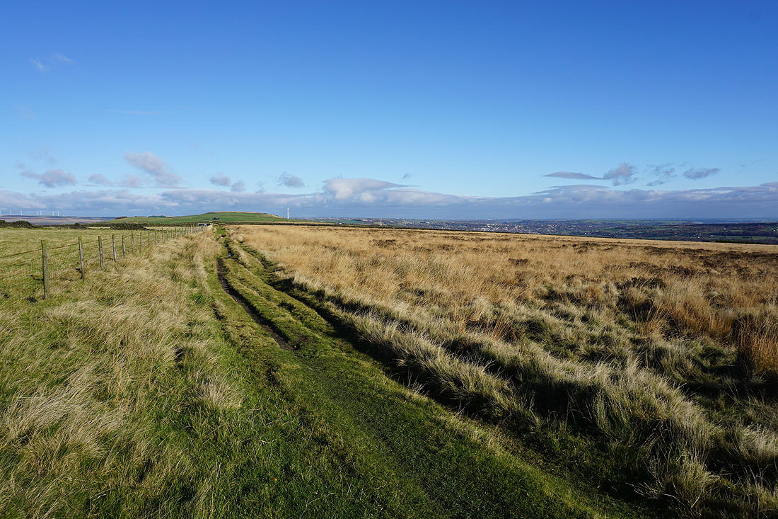
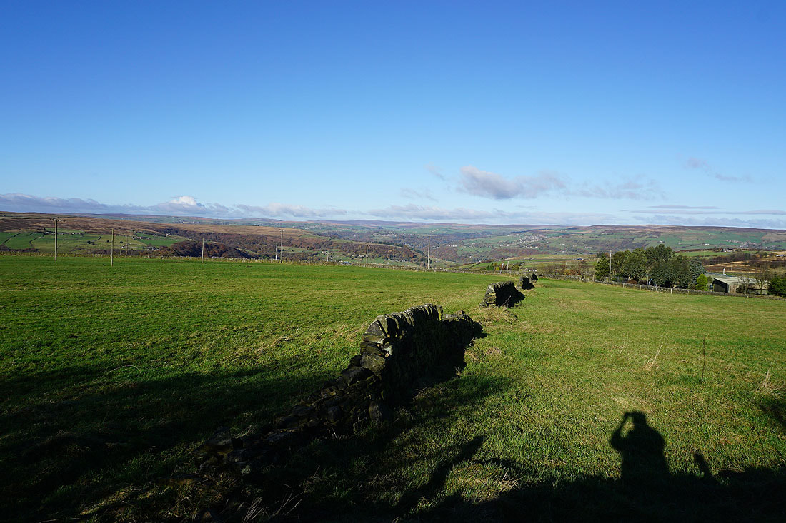
Looking back to Crow Hill with Sowerby Bridge in the distance on the right
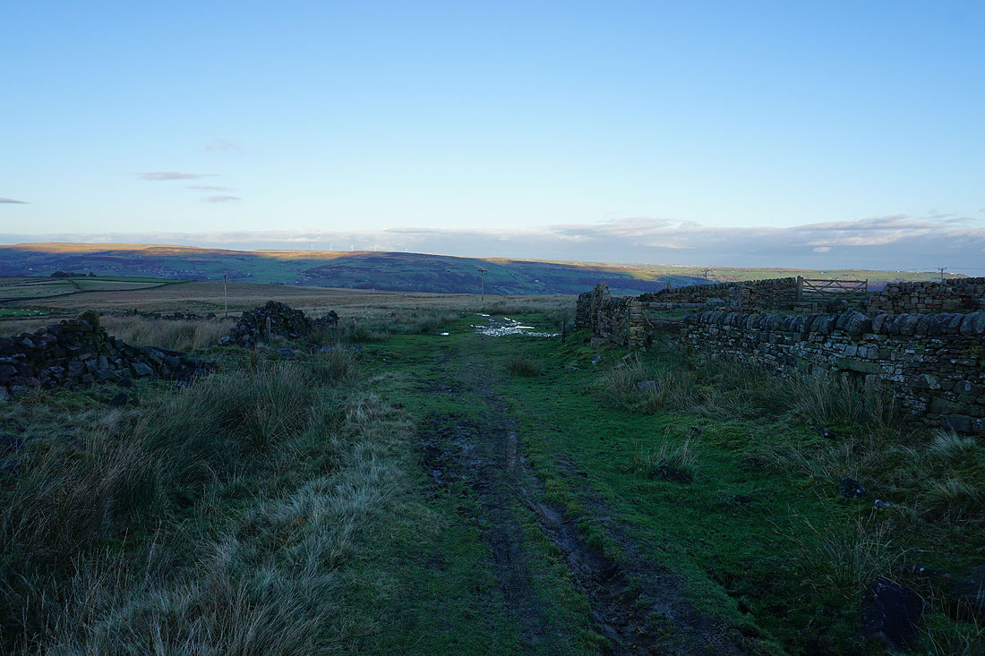
Just ahead I'll leave Water Stalls Road and take a bridleway on the right down into Cragg Vale
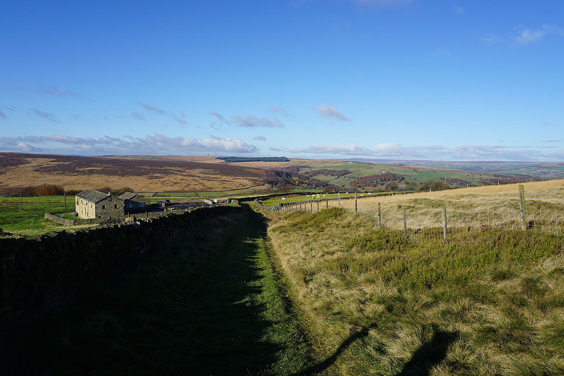
On the bridleway down into Cragg Vale..
Looking across Cragg Vale to Higher House Moor
After crossing New Road I'm following a footpath down to Blackstone Edge Road. There's a nice bit of colour on the trees in Cragg Vale.
|
|
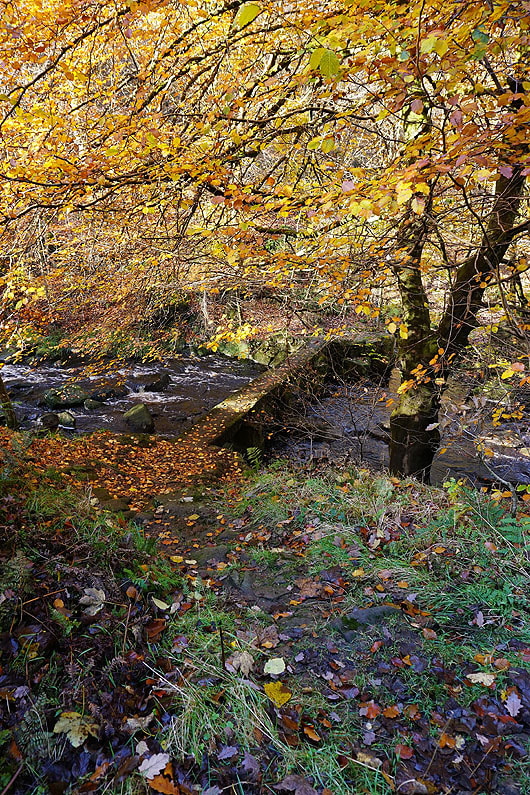
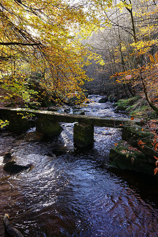
Crossing the footbridge over Cragg Brook..
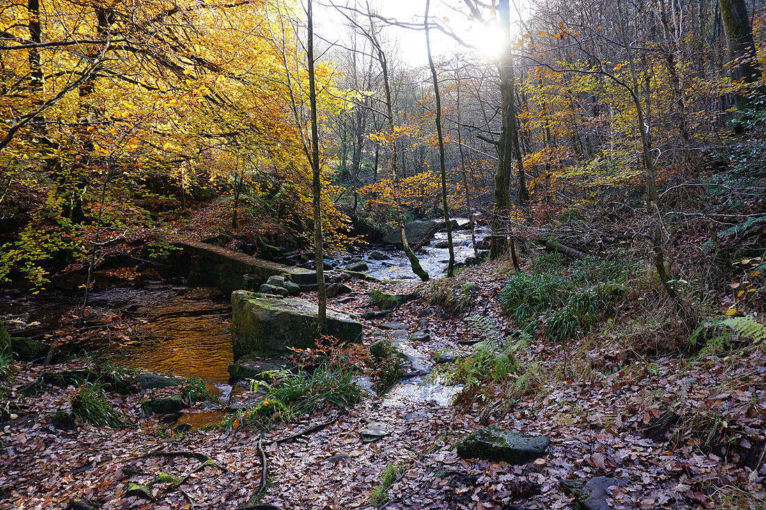
Autumnal colour in Cragg Vale
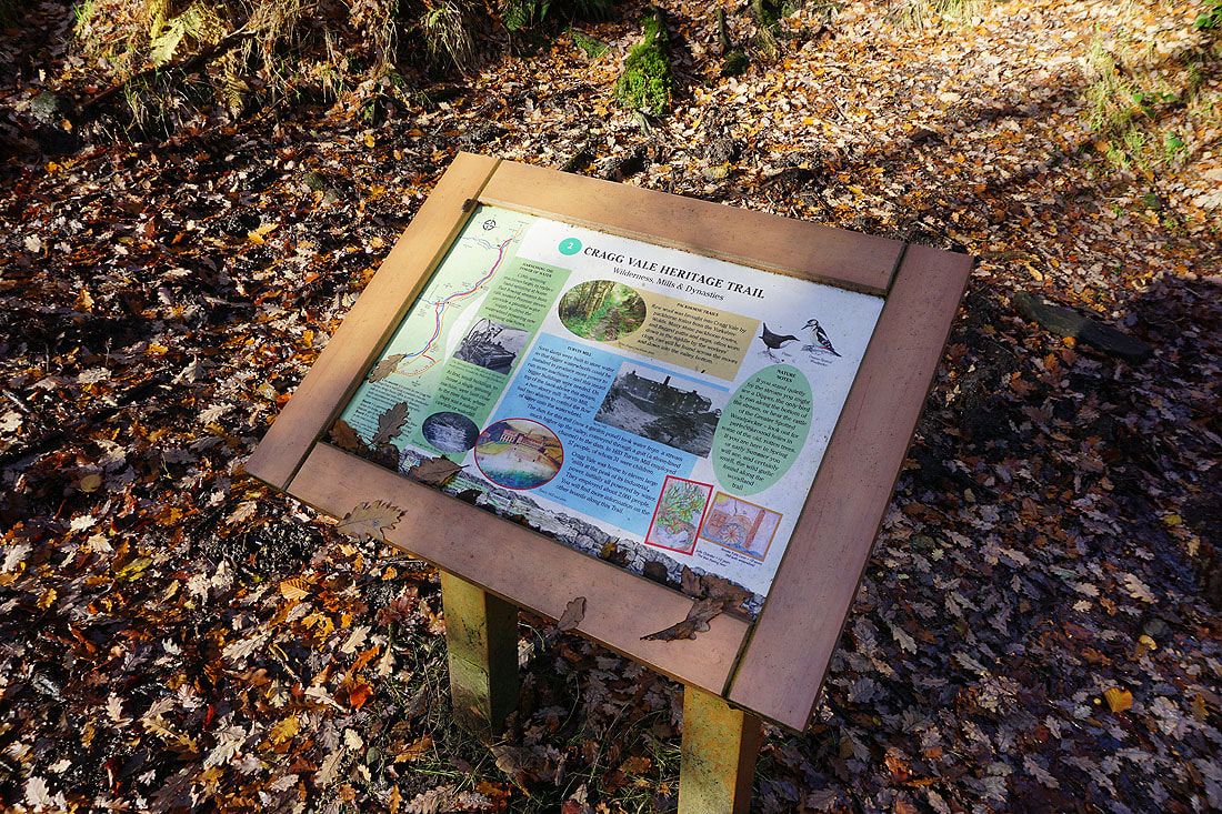
An information board for the Cragg Vale Heritage Trail
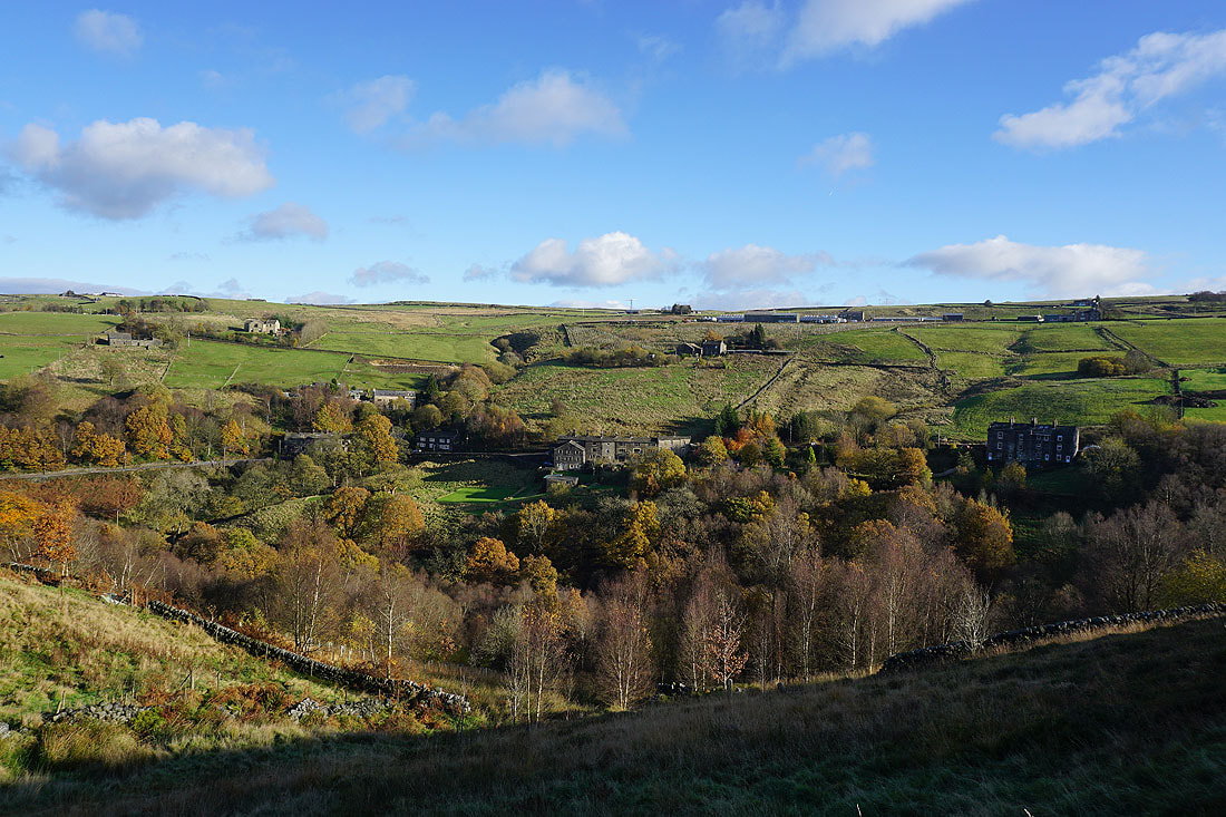
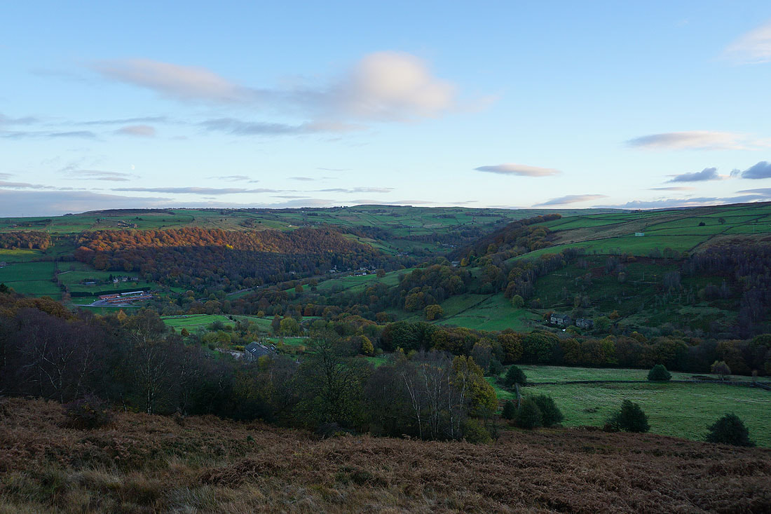
Looking across Cragg Vale as I follow the footpath up to Higher House
Plenty of autumn colour as I look north along Cragg Vale
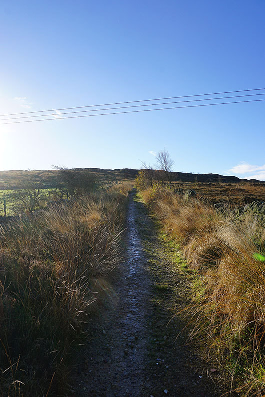
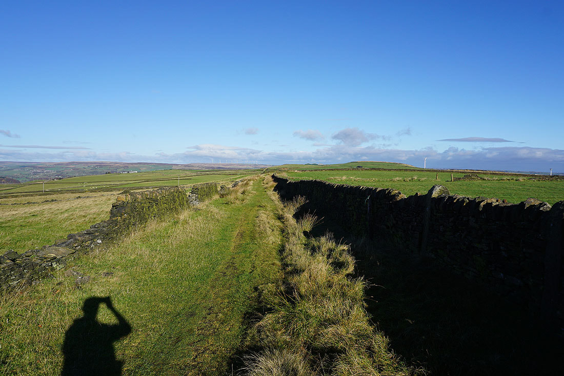
From Higher House I take the concessionary path along Turley Holes Edge to Withens Clough Reservoir
Looking back across Cragg Vale to Great Manshead Hill
Colourful autumnal scenery in Withens Clough and Cragg Vale..
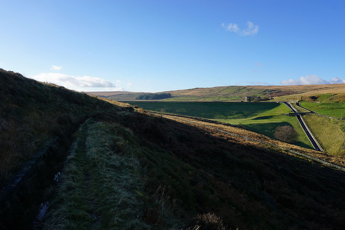
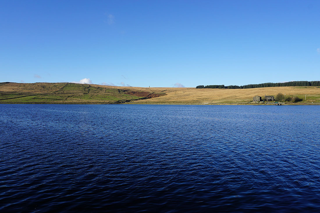
Approaching the dam of Withens Clough Reservoir
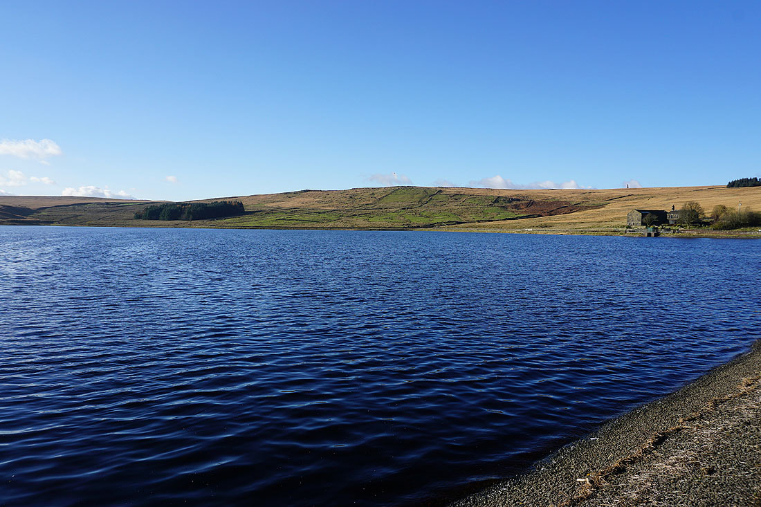
Making my way along the path by the southern shore of Withens Clough Reservoir.....
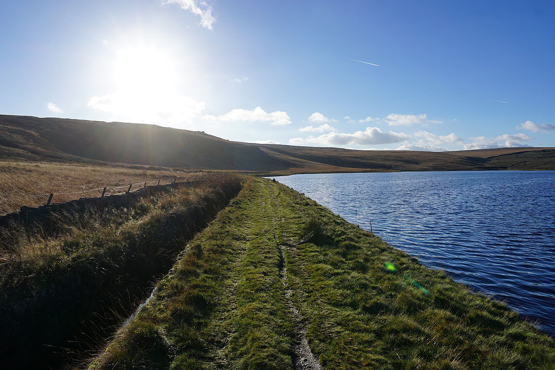
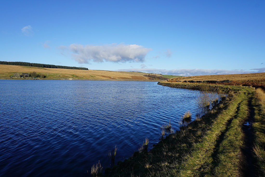
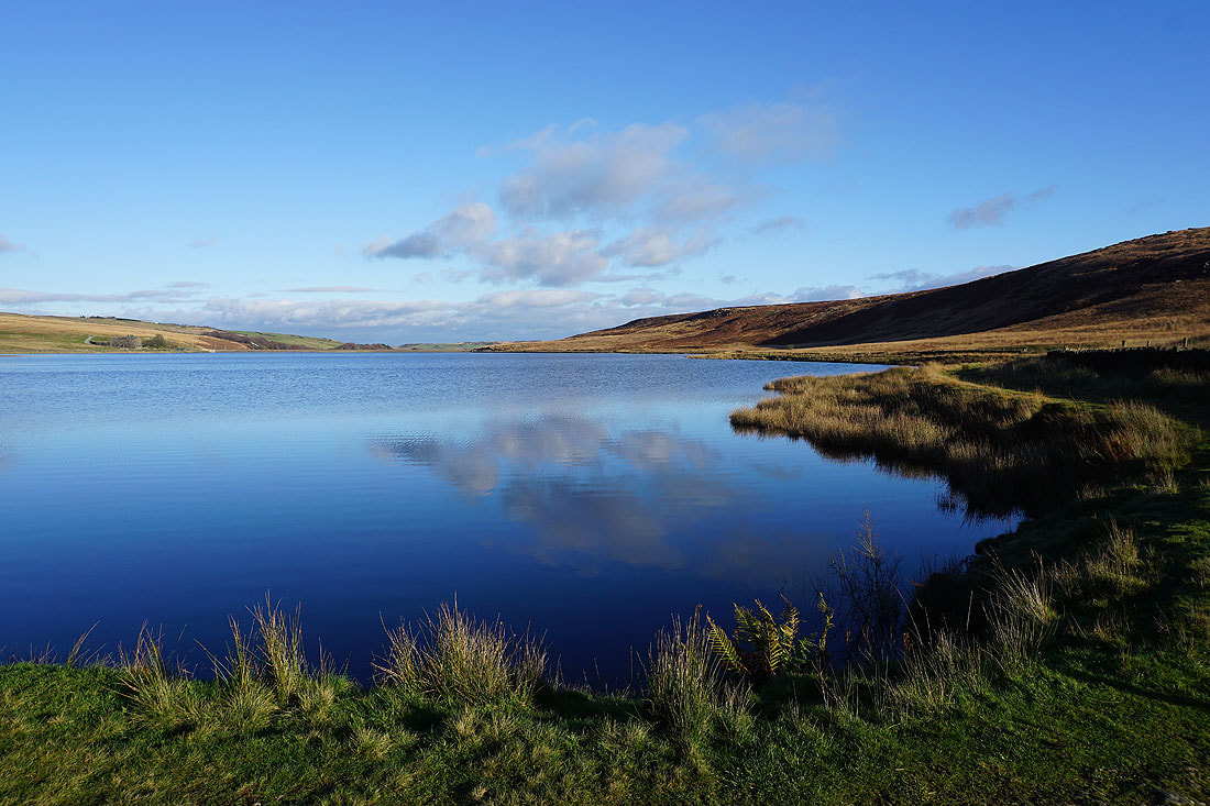
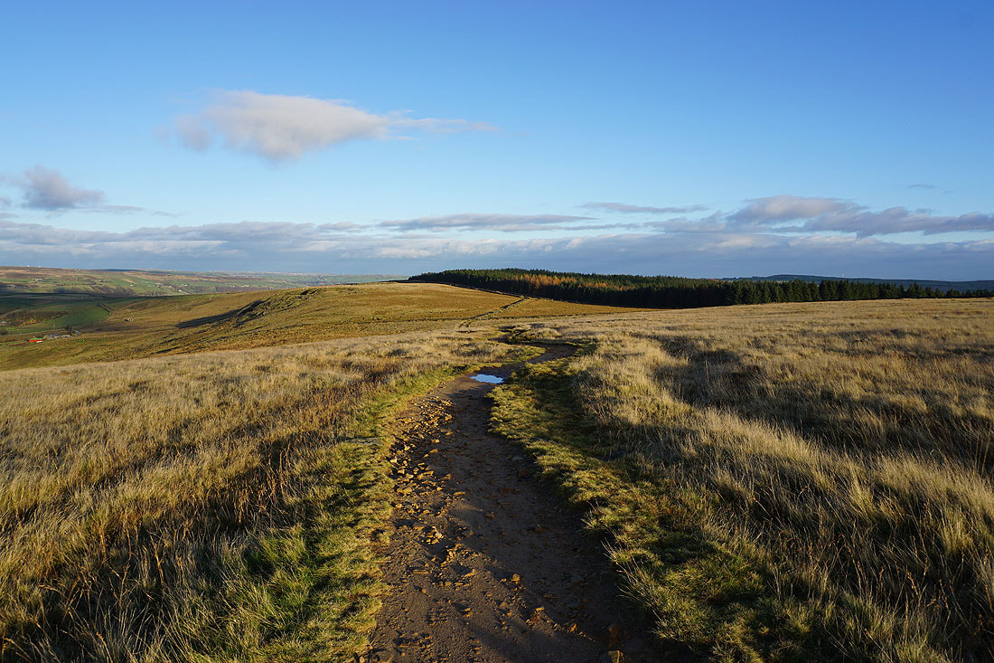
Looking back down Withens Clough as I head up to Withens Gate
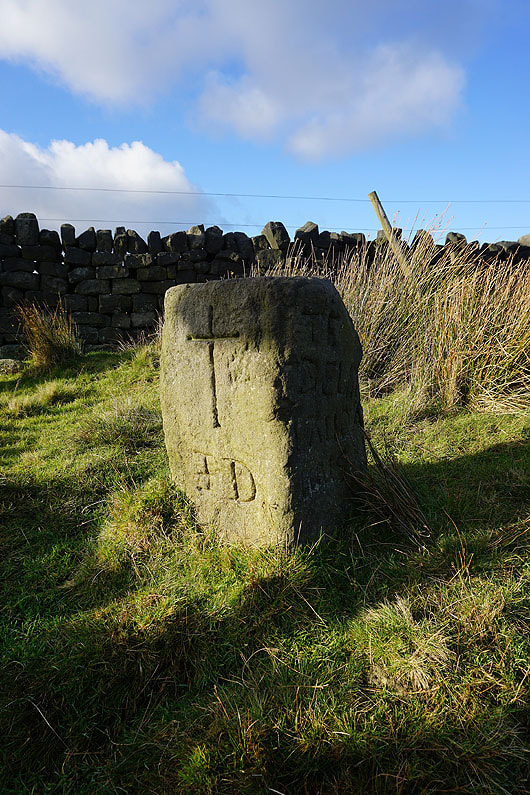
The "Te Deum" stone
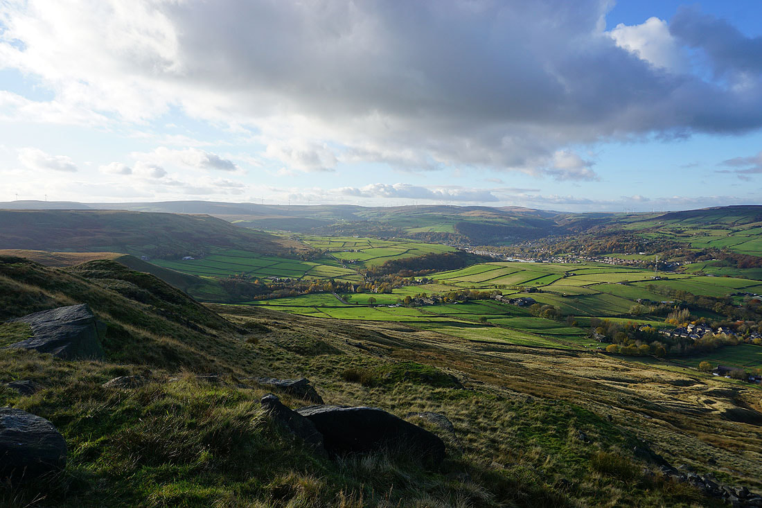
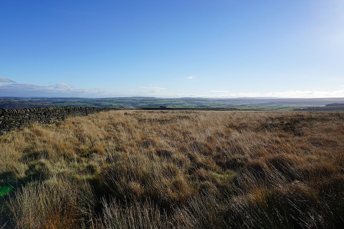
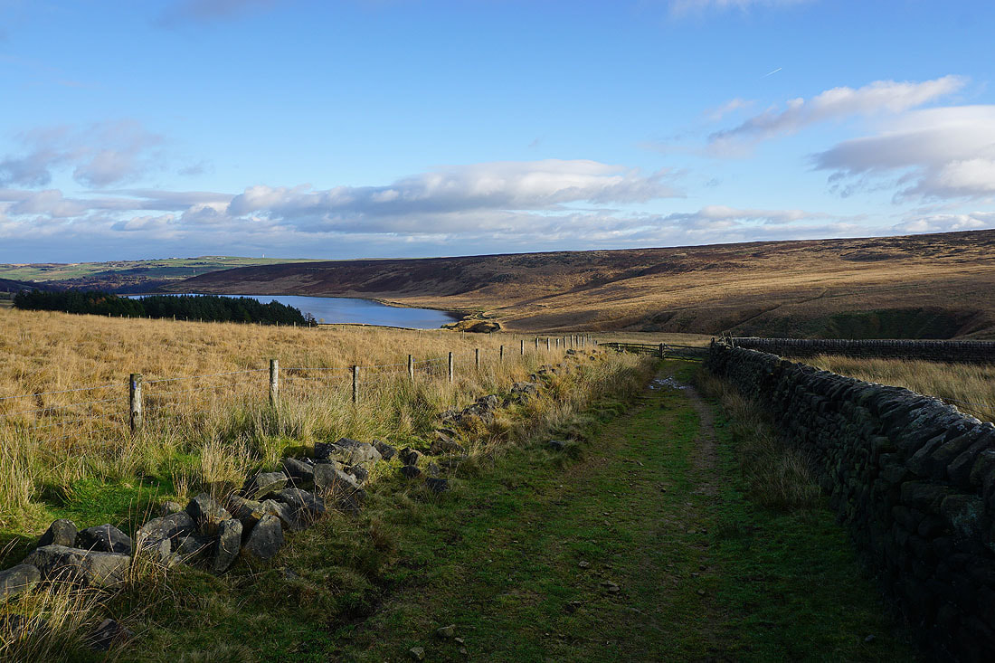
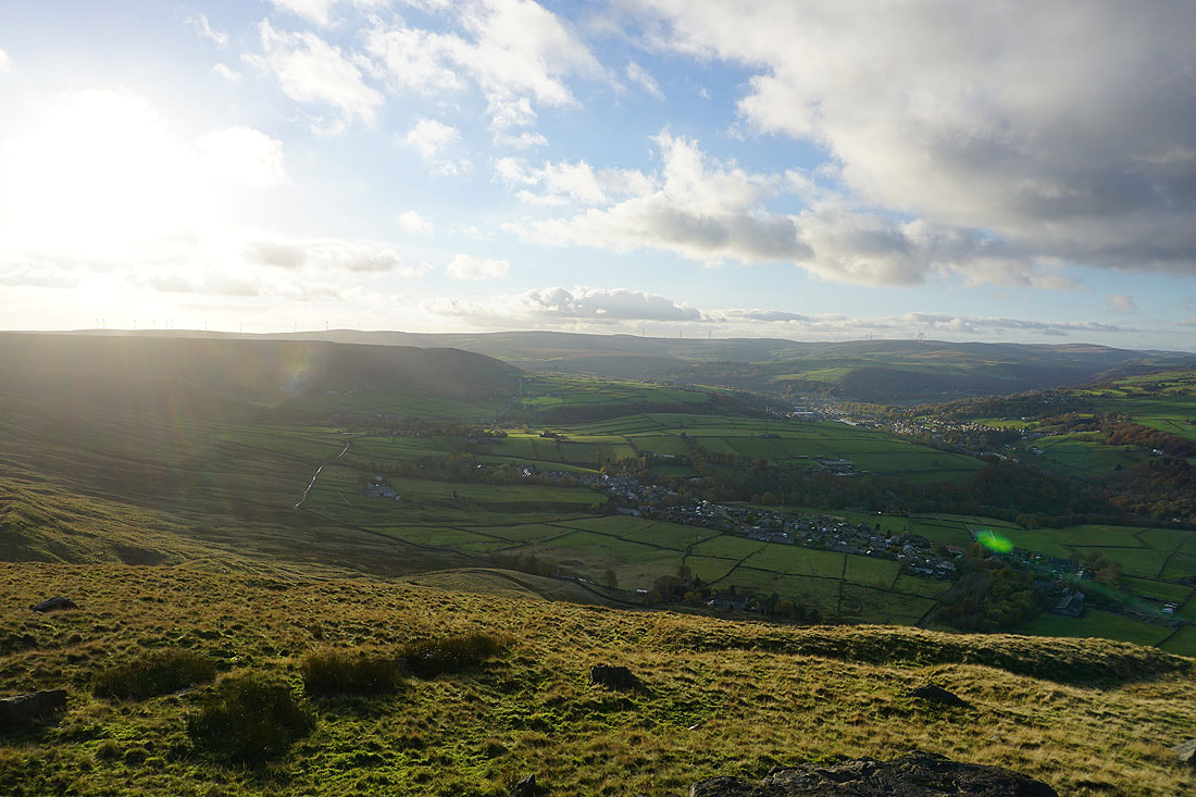
Having passed through Withens Gate I join the Pennine Way and get a great view across Calderdale. Looking west to Langfield Edge, Freeholds Top, and Todmorden Moor.
and northwest to Todmorden Moor, Todmorden and Bride Stones Moor
Heading for Stoodley Pike
|
|
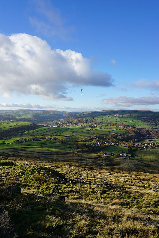
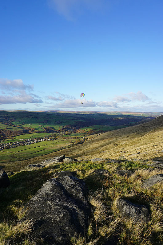
A paraglider gets a bird's eye view of Calderdale..
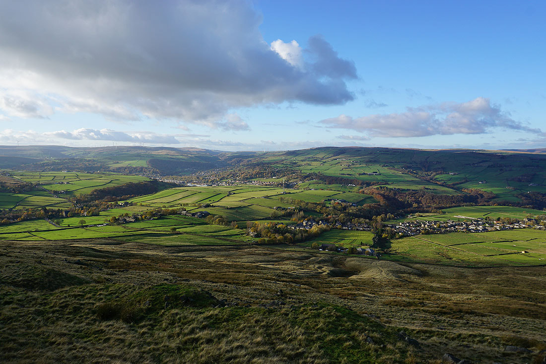
The view to the west of Calderdale from Stoodley Pike..
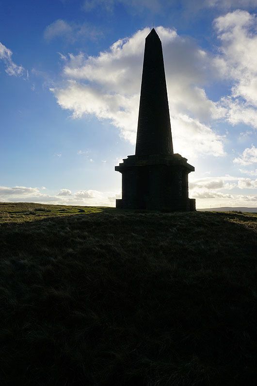
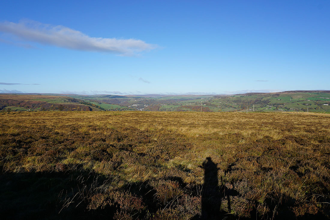
At this time of year it casts a long shadow
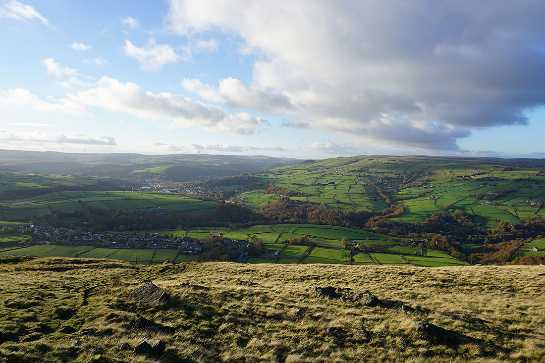
Looking north across Calderdale to the moors around Jumble Hole Clough and Colden Clough
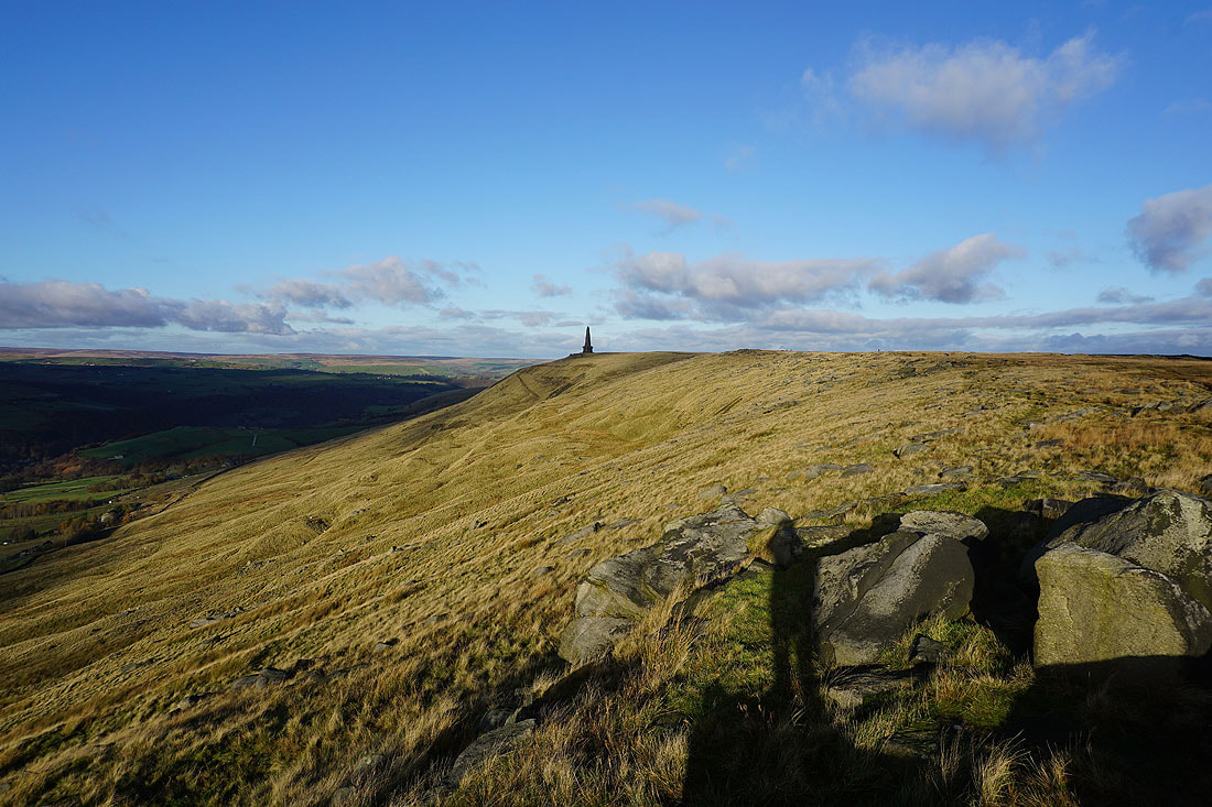
I leave Stoodley Pike and head east towards Dick's Lane
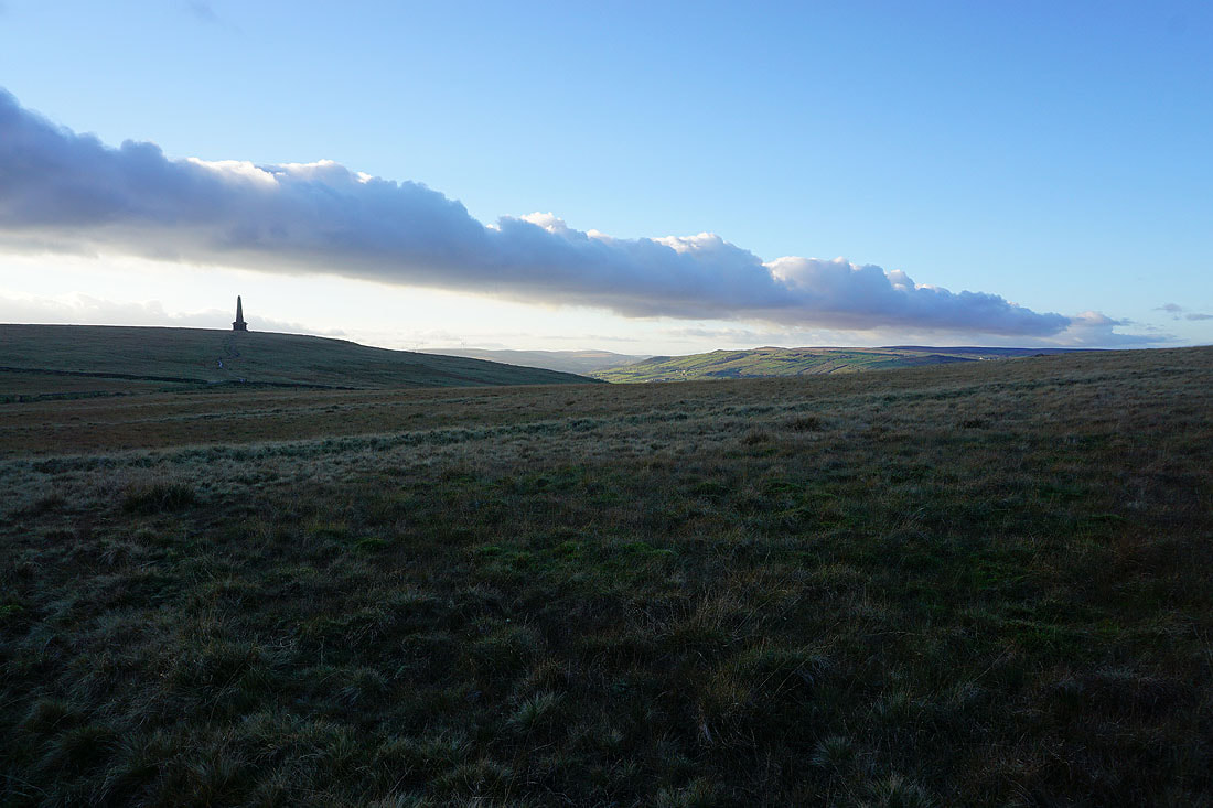
Stoodley Pike and a line of clouds backlit by the sun
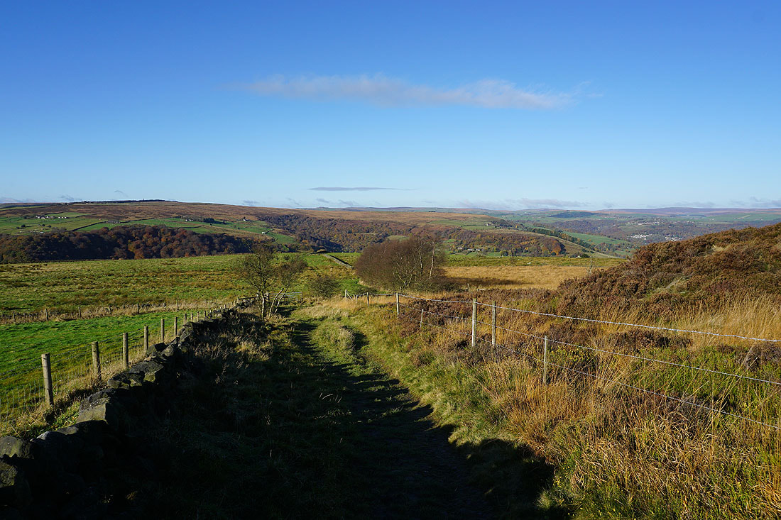
At the end of Dick's Lane and I take a footpath straight ahead across Erringden Moor..
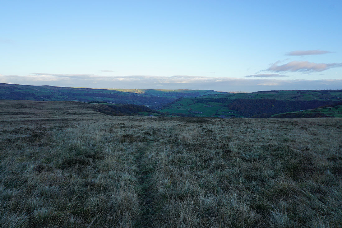
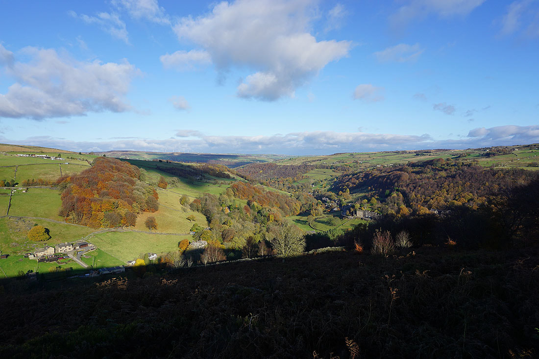
Looking across Broadhead Clough to Cragg Vale from the edge of Erringden Moor
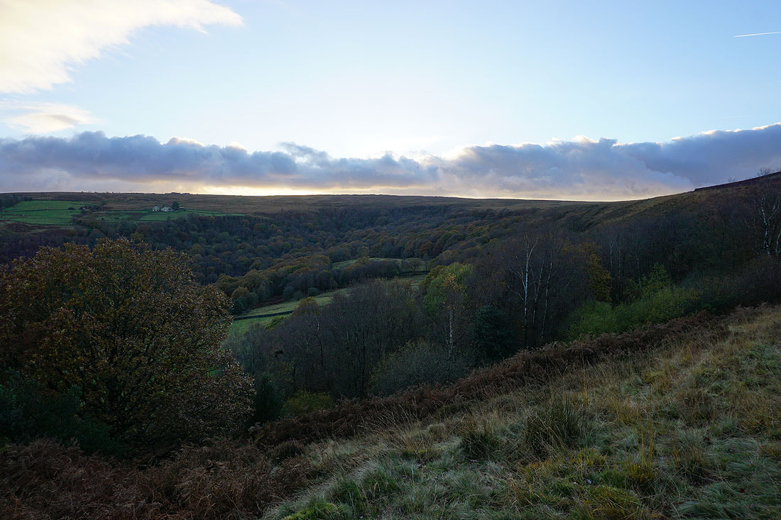
The woodland of the Broadhead Clough Nature Reserve
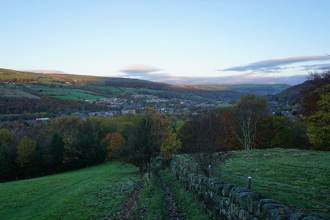
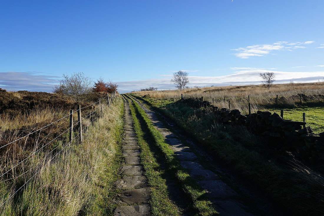
Making my way back down to Mytholmroyd..