13th November 2022 - Ingleborough
Walk Details
Distance walked: 12.0 miles
Total ascent: 2660 ft
OS map used: OL2 - Yorkshire Dales, Southern & Western areas
Time taken: 6.5 hrs
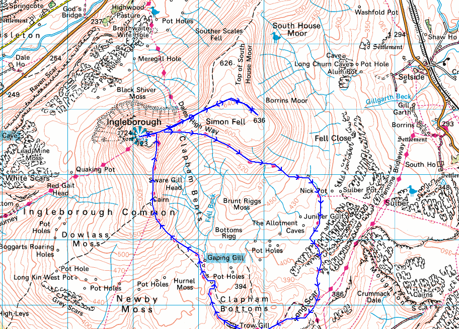
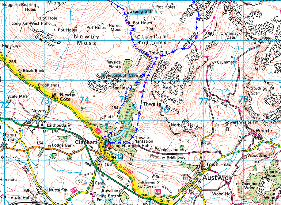
Route description: Clapham-Clapdale Farm-Trow Gill-Gaping Gill-Little Ingleborough-Ingleborough-Simon Fell-Dales High Way-Pennine Bridleway-Long Scar-Long Lane-Clapham
Another fine autumn day is forecast, so I decided to head out again and make it a two walk weekend. The location had to be chosen carefully though, with fog and low cloud around and an easterly breeze I thought that going to Ribblesdale for a walk up Ingleborough would be a good decision, and that it should be sheltered from the mist and murk. This proved to be the case, and as I was driving along the A682 from Gisburn to Long Preston the low cloud melted away to leave clear blue skies. It turned out to be a beautiful autumn day, with more or less wall-to-wall blue skies and sunshine, and unseasonably mild. In fact, if it wasn't for the strong wind high up I might have managed without the need for a fleece.
From the NP car park in Clapham I walked through the village and onto the track to Clapdale Farm, signposted for Ingleborough. I followed this up to Clapdale Farm, then went through the farmyard and onto a path down to the track that leaves the Ingleborough Hall Estate. I turned left here and walked along the track to Ingleborough Cave, where I picked up the path up Trow Gill and onto the open moor. The path up Little Ingleborough was then taken, with a brief diversion to see Gaping Gill, and then on up to the summit of Ingleborough, where I stopped for lunch. After this break I made my way to the eastern end of the summit plateau and took the path down and up to the top of Simon Fell. From the top of Simon Fell I then made my way to the eastern end of the summit, crossed the stiles over a couple of walls, and headed south to the cairn on the Lord's Seat top of Simon Fell. I had intended to make my way down to the path across Simon Fell Breast but the route was too boggy, so I retraced my steps to the bottom of the descent from the eastern end of Ingleborough, and took the Dales High Way trail down Simon Fell Breast and to Long Scar. From Long Scar I made my way back to Clapham down the track of Long Lane.
Route map
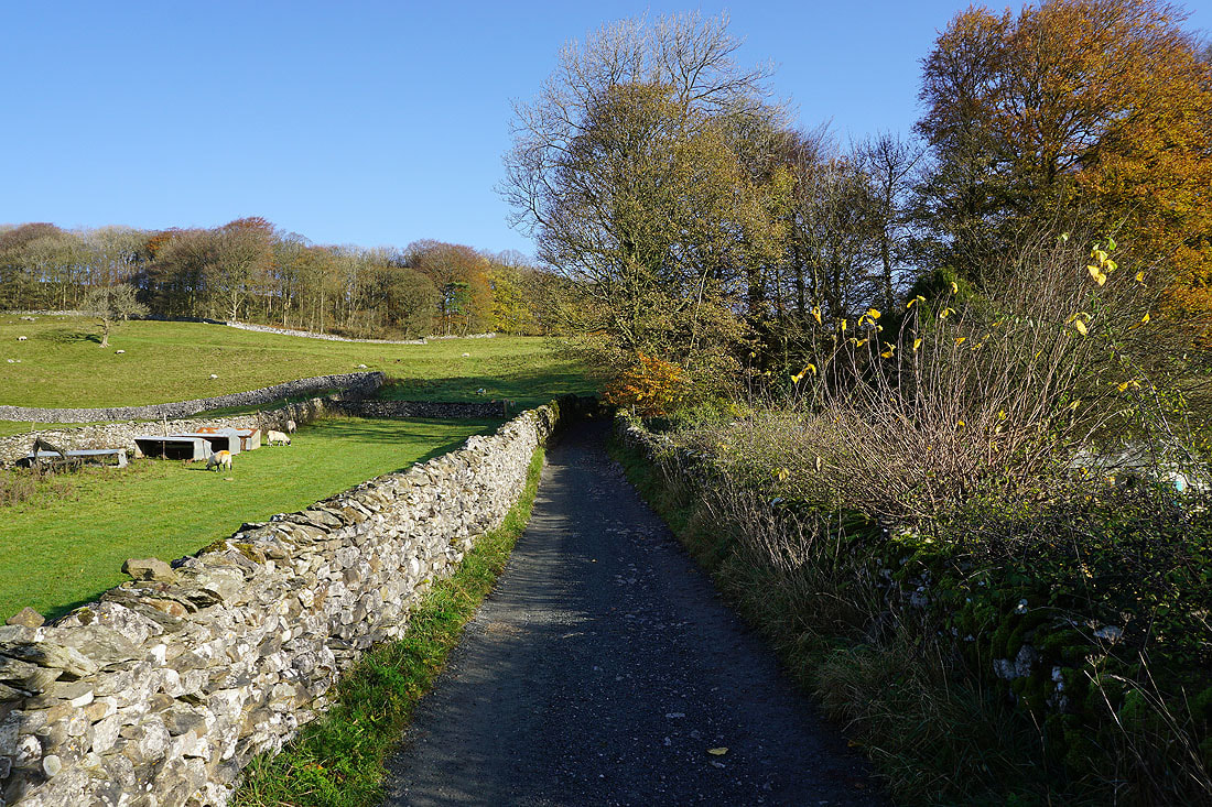
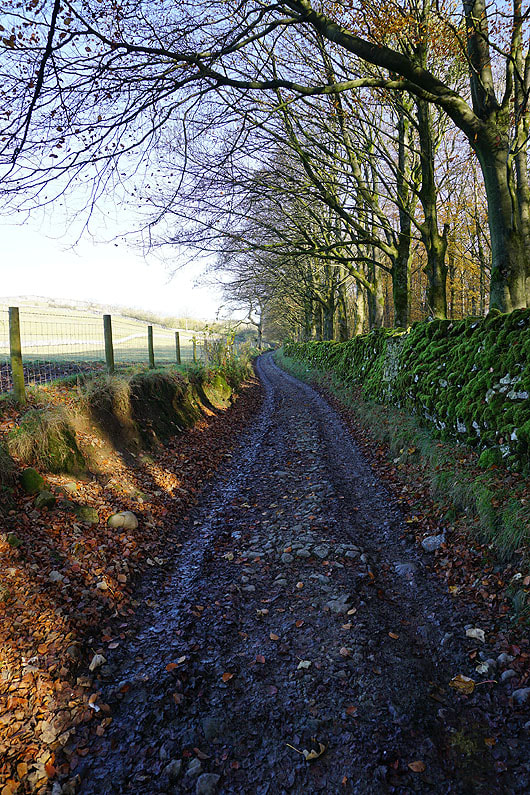
I leave Clapham and take the track to Clapdale Farm
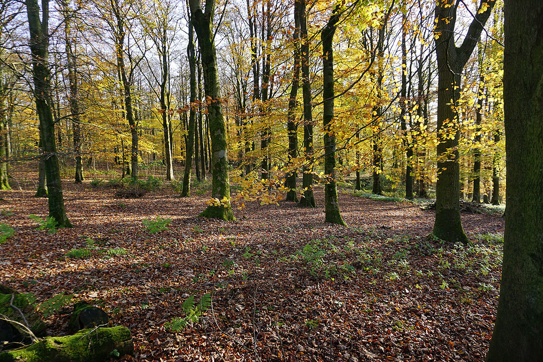
Autumn colours in Clapdale Wood
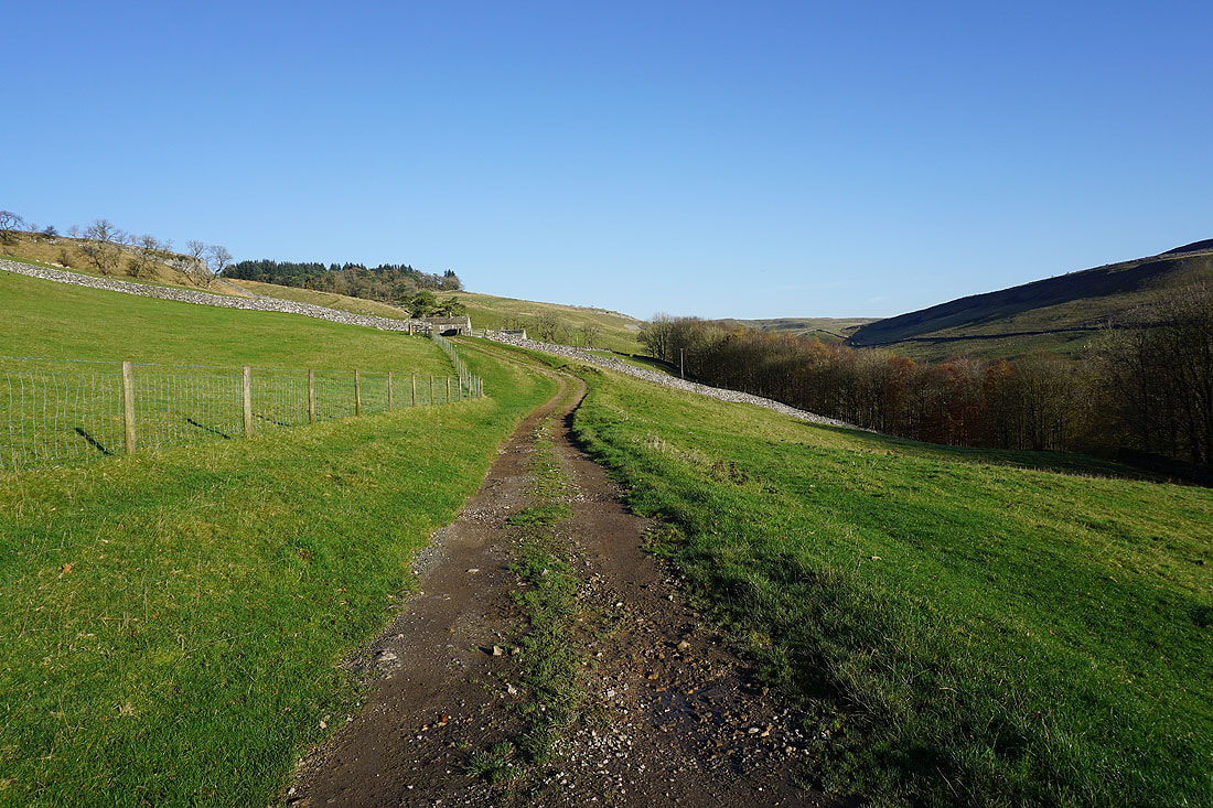
Following the track up Clapdale to Clapdale Farm..
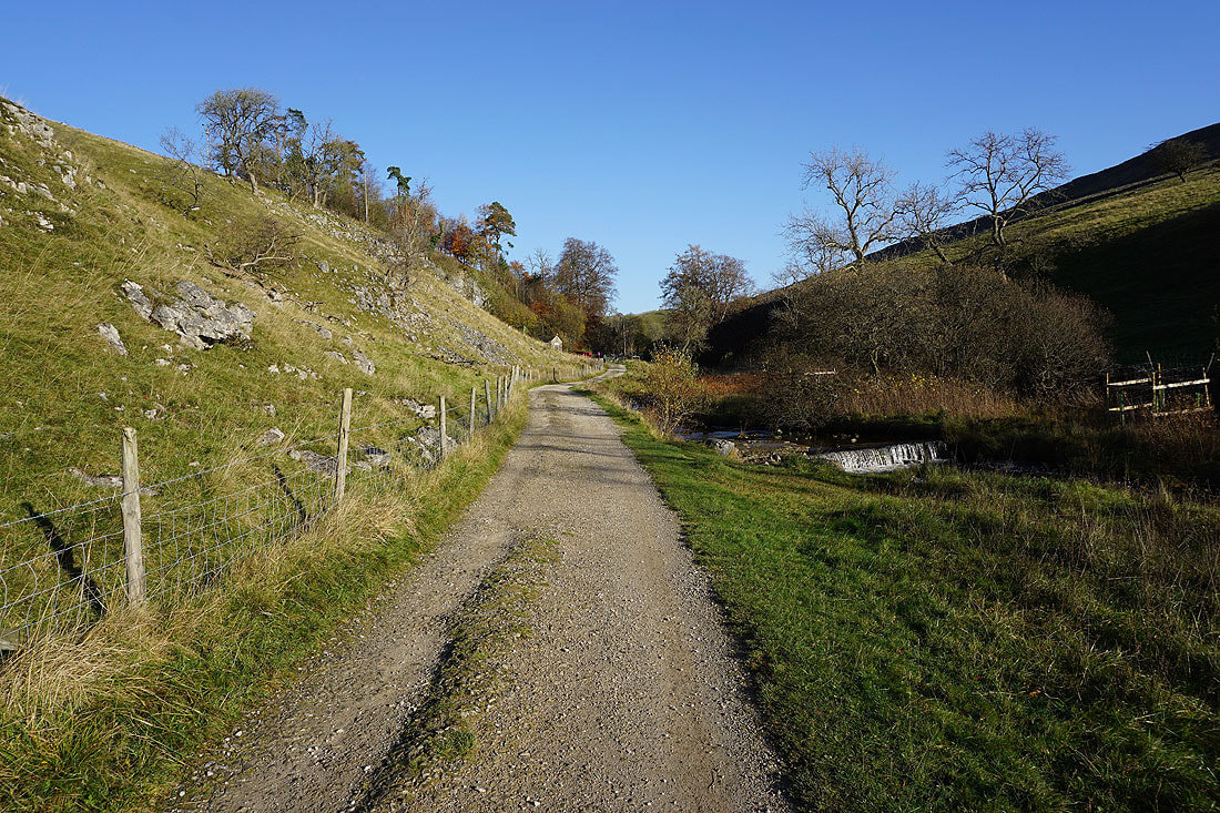
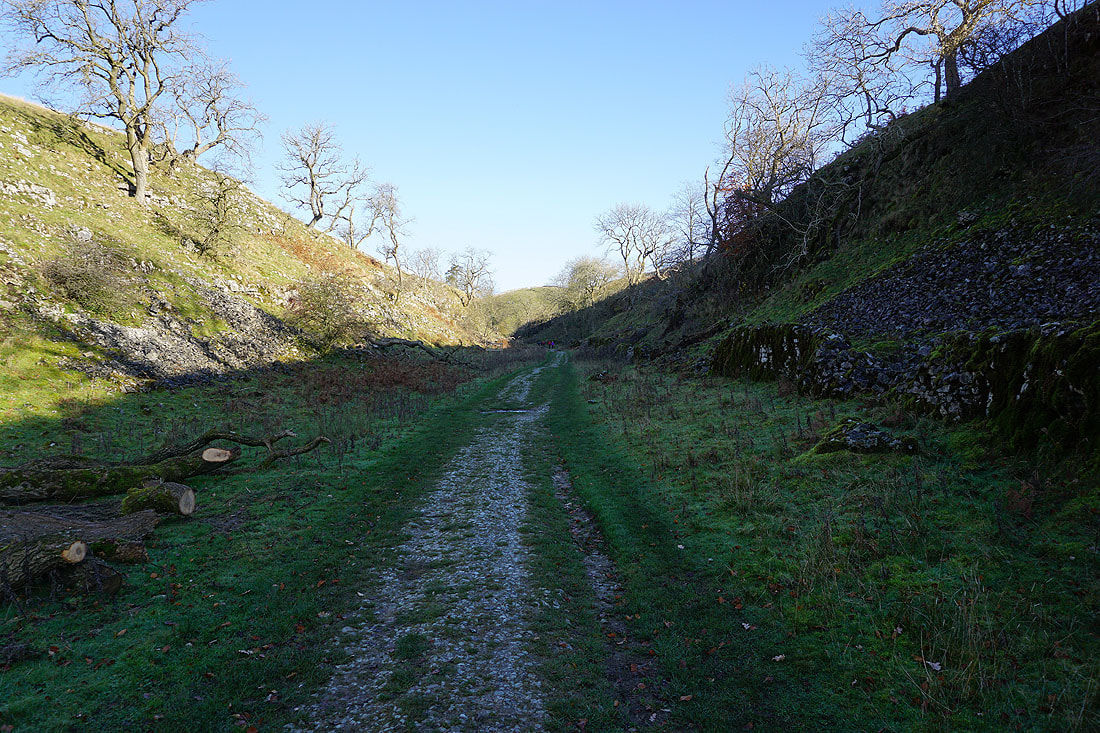
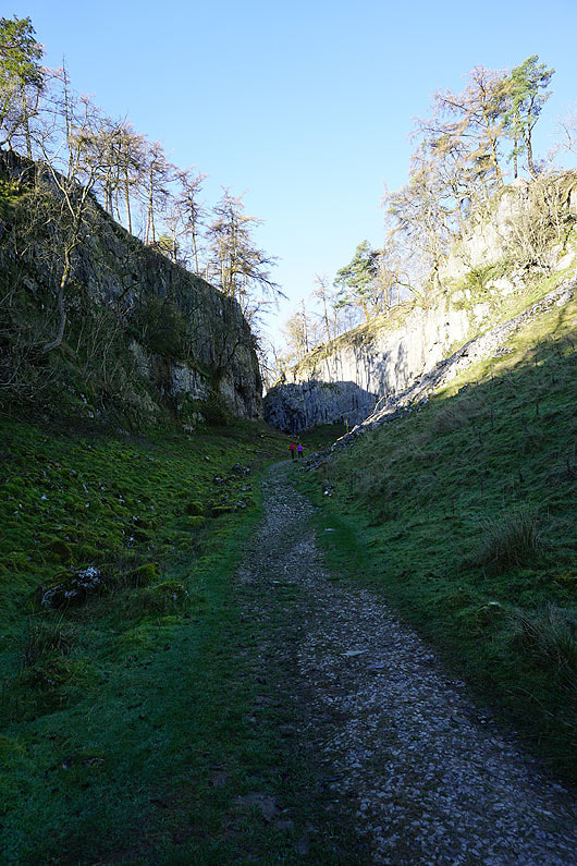
and then up Trow Gill...
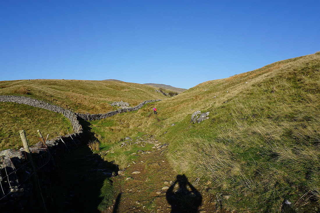
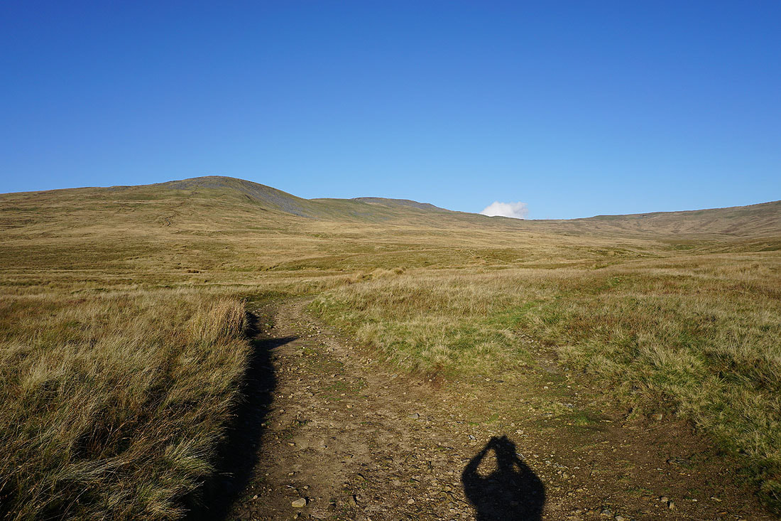
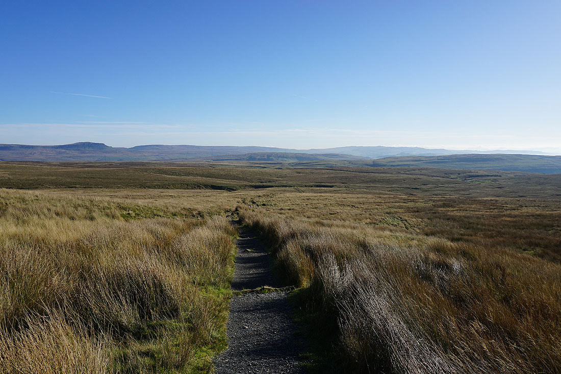
Out of Trow Gill and onto the open moorland, and Ingleborough comes into view..
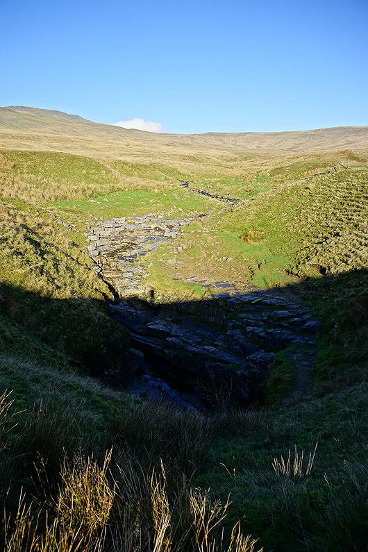
Fell Beck falls into Gaping Gill
Looking across to Simon Fell as I start the ascent of Little Ingleborough
and back across Ribblesdale to Penyghent, Fountains Fell, and the moors above Settle
Higher up and I can see low cloud reaching the eastern fells of the Forest of Bowland
On Little Ingleborough. It's a bit hazy but I can make out some of the Lake District fells in the far distance beyond the shoulder of nearby Gragareth.
Ingleborough and Simon Fell
Looking across Ribblesdale to Penyghent and Fountains Fell
Leaving Little Ingleborough behind..
..and heading for Ingleborough
Simon Fell below as I reach the summit plateau
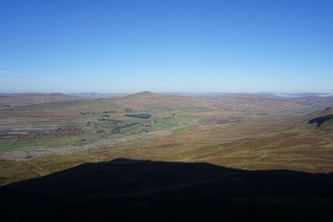
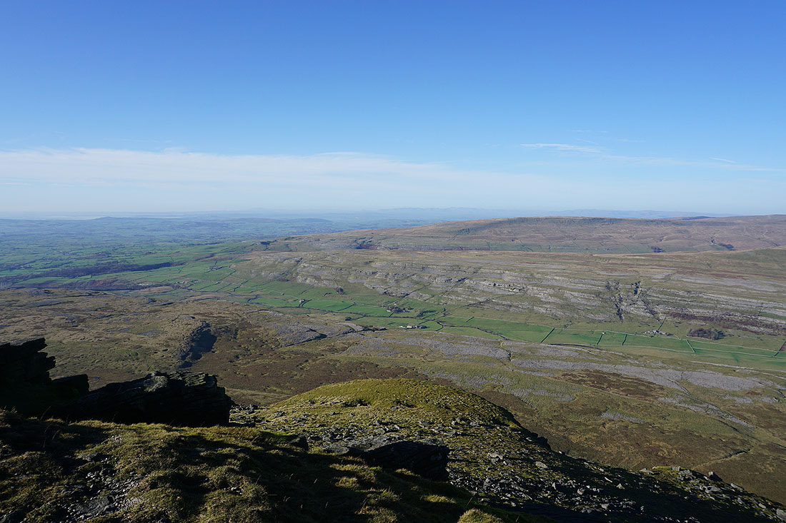
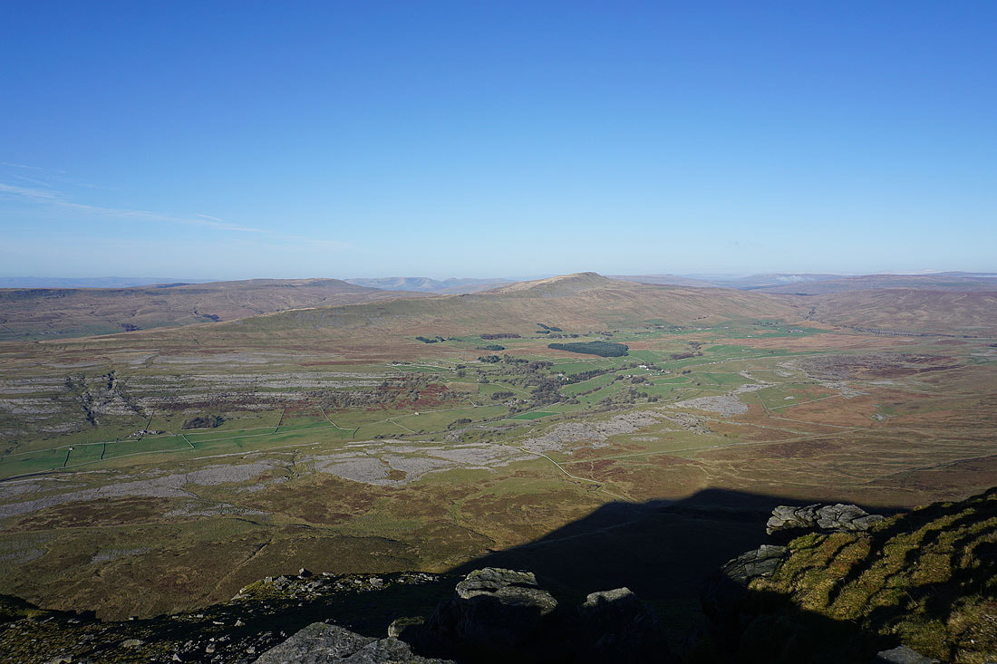
Making my way anticlockwise along the edge of the summit plateau. Looking across Chapel-le-Dale to Whernside and the Ribblehead Viaduct, with the Howgills, Wild Boar Fell, High Seat, Great Knoutberry Hill, and Great Shunner Fell in the distance.
Lake District fells in the far distance beyond Gragareth and Great Coum, with Twisleton Scars on the other side of Chapel-le-Dale
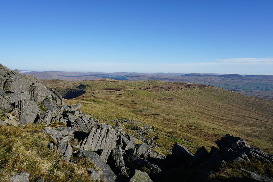
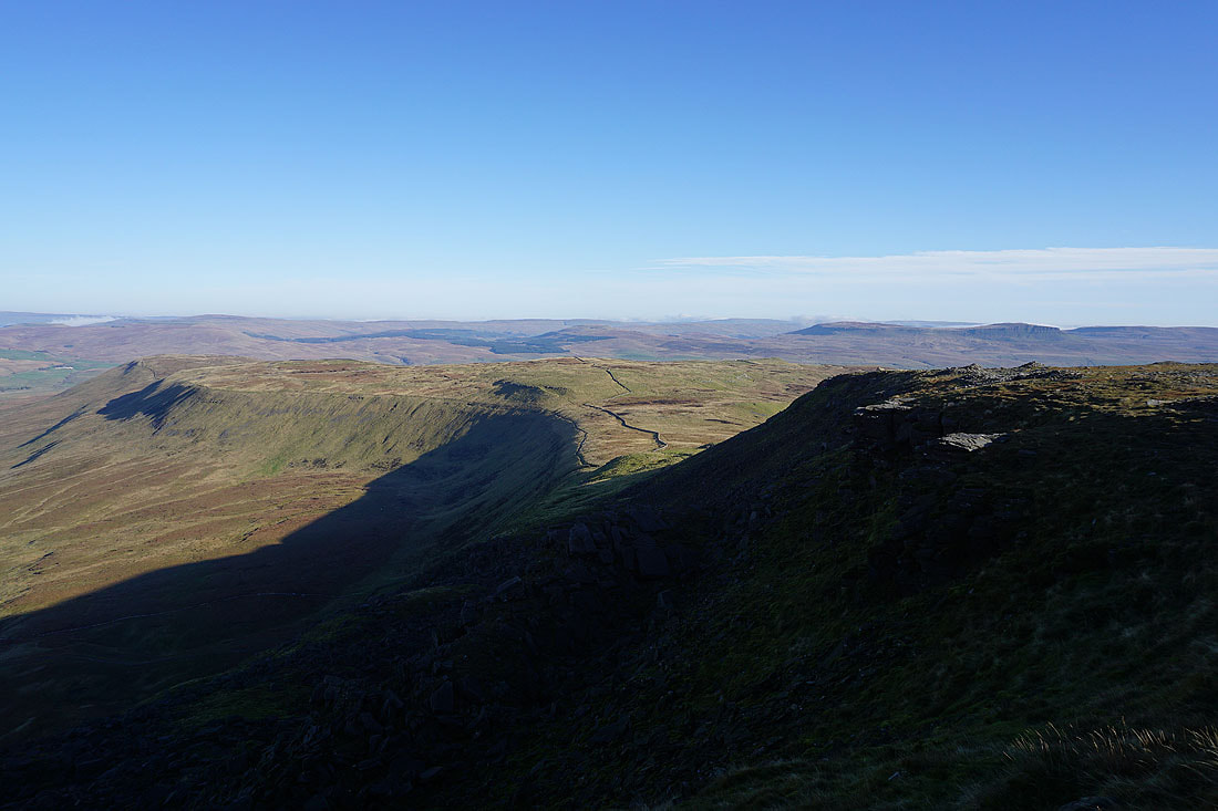
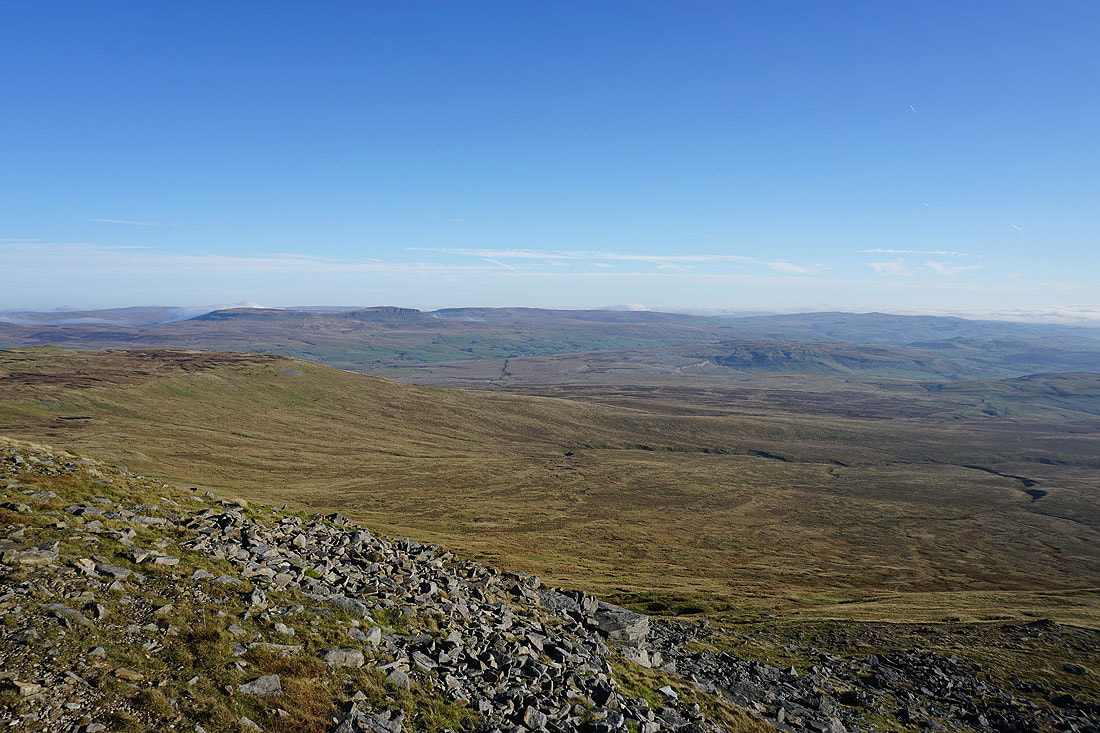
Looking east along the northern edge of the plateau to Yockenthwaite Moor, Buckden Pike, Plover Hill and Penyghent
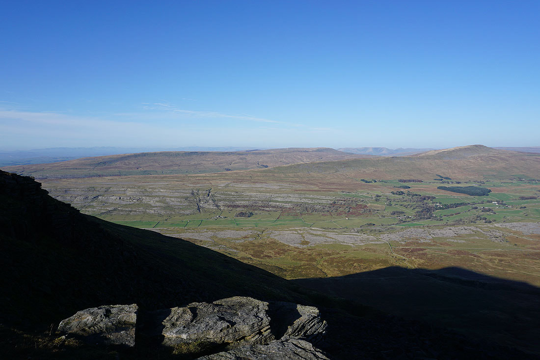
and across Chapel-le-Dale to Twisleton Scars
Great Coum, the Howgills, Whernside and Ribblehead
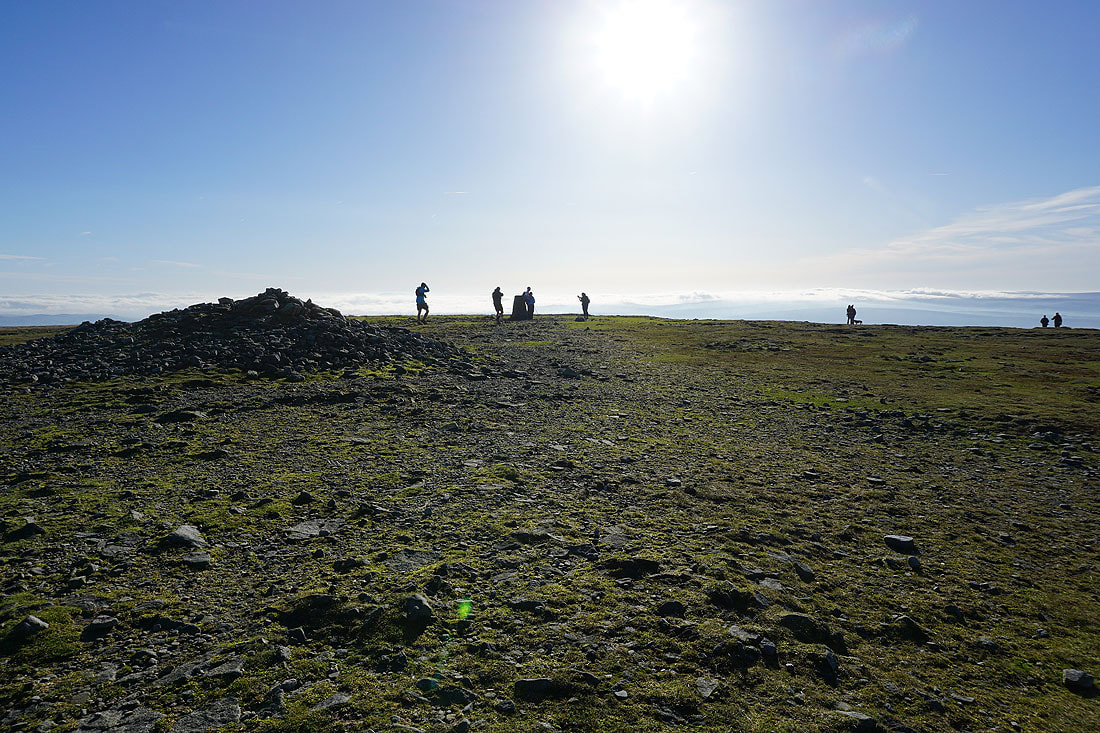
Sat in the summit shelter on Ingleborough. What a lovely autumn day!
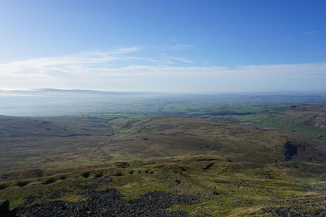
Resuming my walk along the edge of the summit plateau. Ingleton below with Morecambe Bay in the distance.
Little Ingleborough below
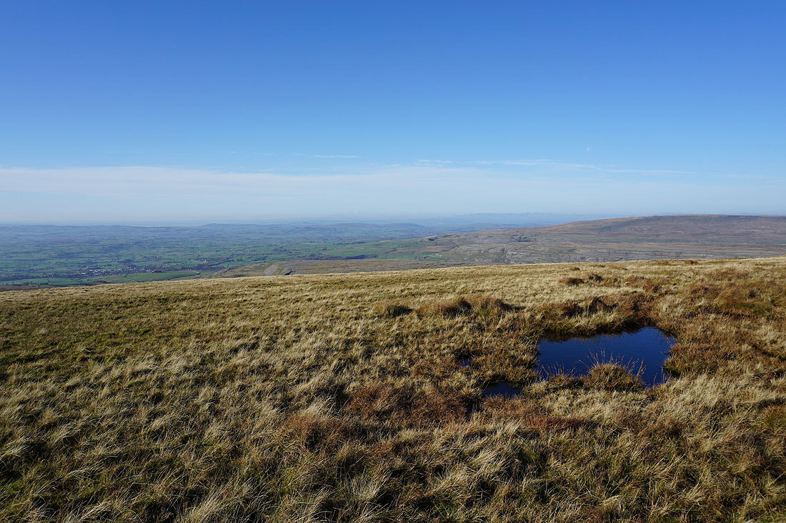
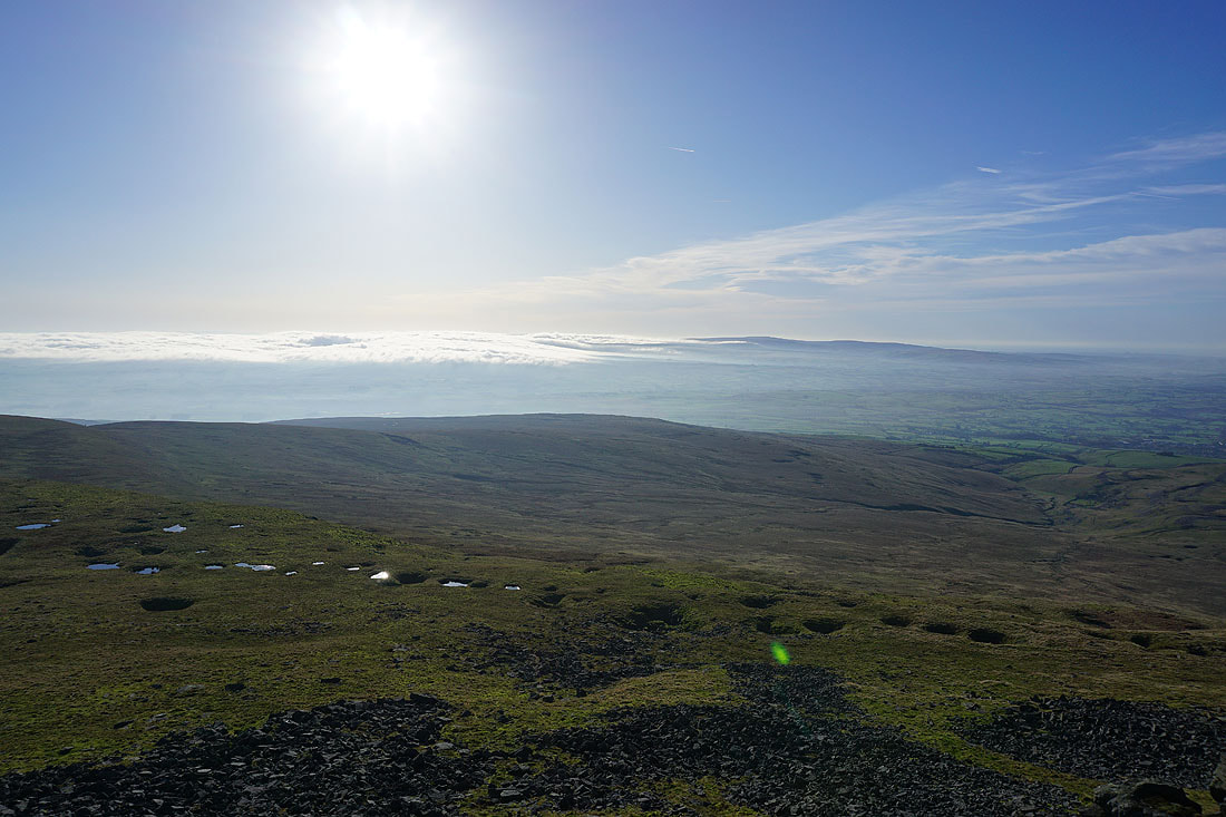
Looking south across Ingleborough Common to the Forest of Bowland in the distance
and across Ribblesdale to Penyghent and Fountains Fell
Back at the top of the path up from Little Ingleborough
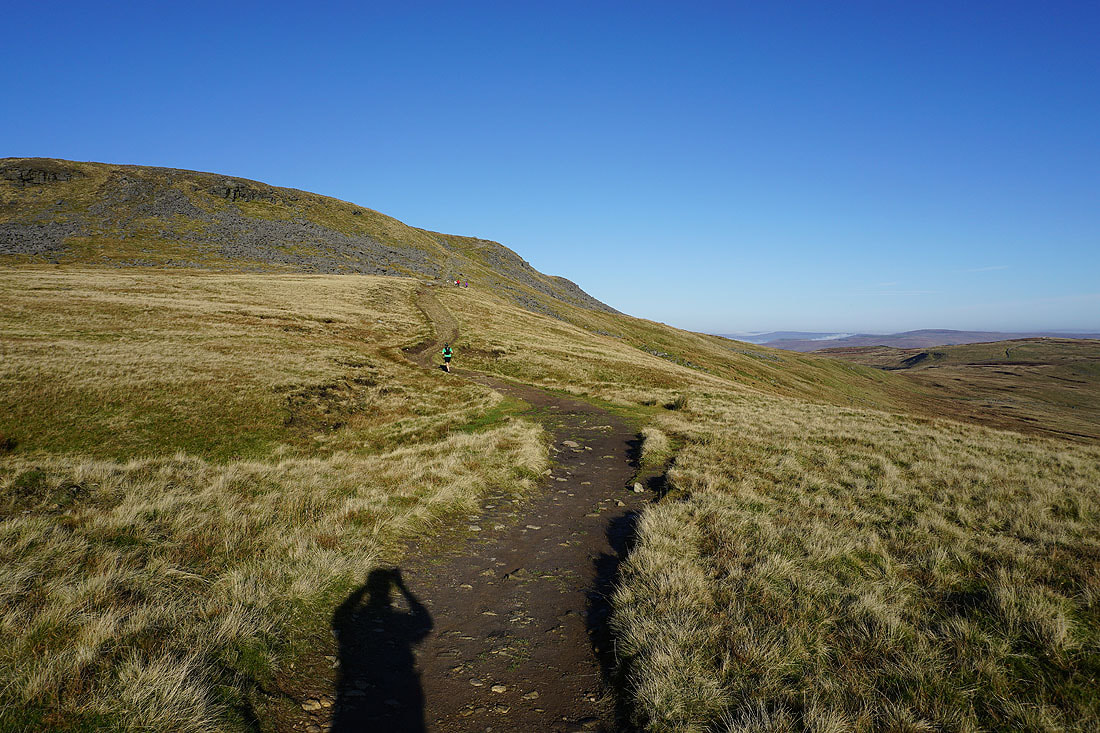
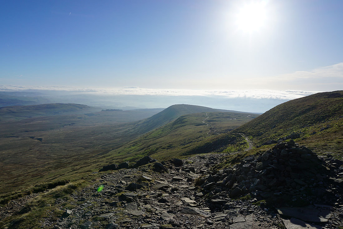
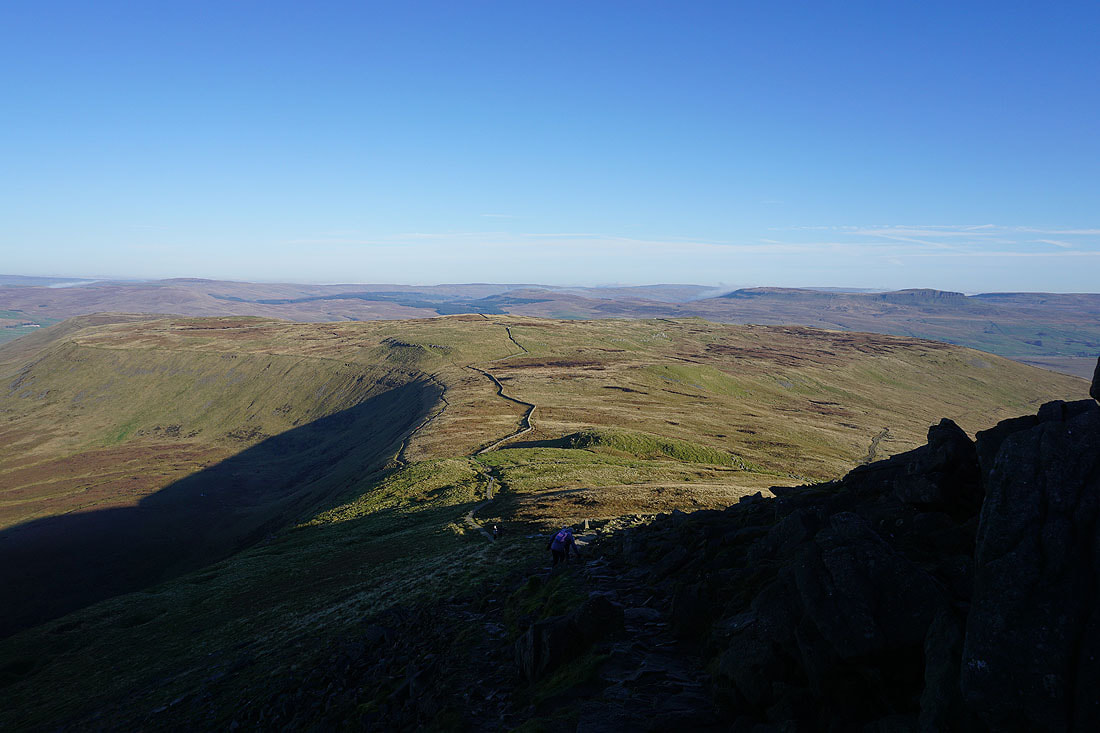
Leaving Ingleborough I take the path down from the eastern end of the summit plateau, and towards Simon Fell..
Whernside and Ribblehead to my left
Looking back to Ingleborough..
A small cairn marks the top of Simon Fell. Looking north to Great Coum, Whernside and Great Knoutberry Hill.
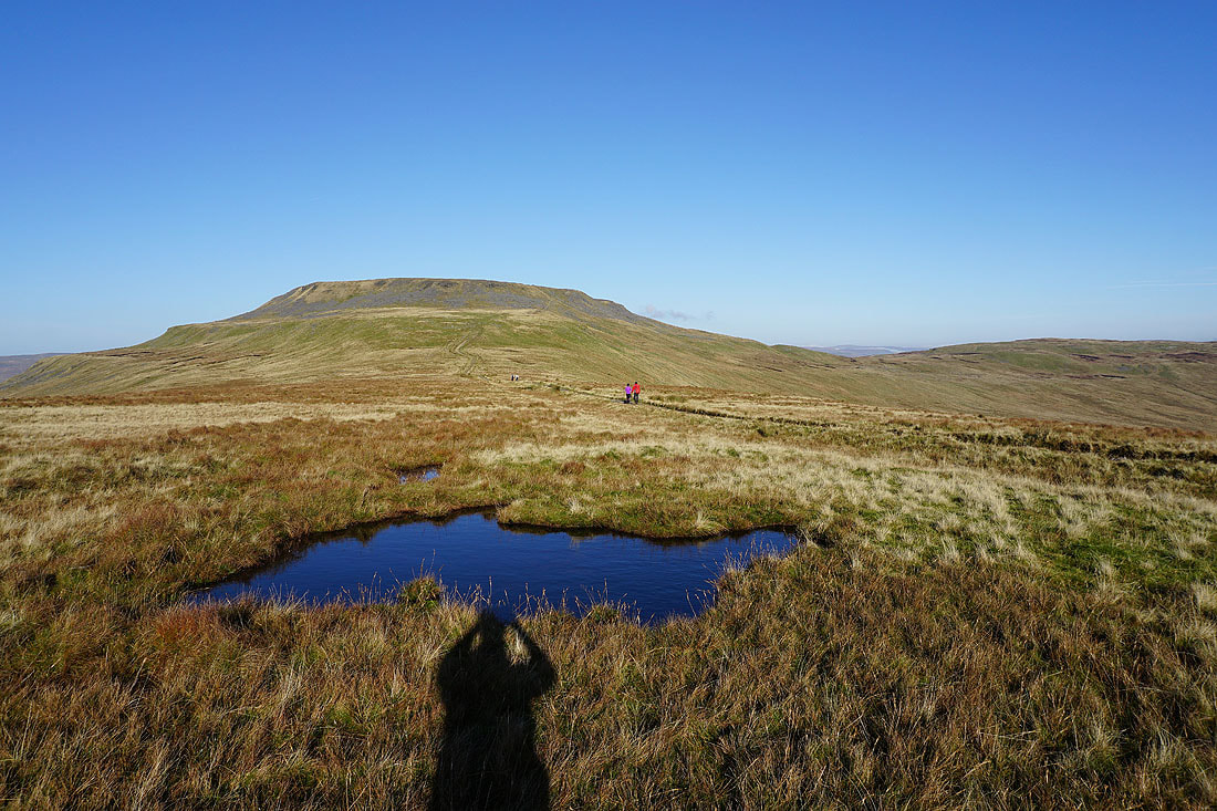
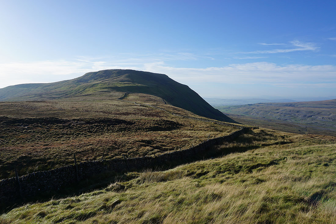
Ingleborough from Simon Fell
Gragareth, Great Coum and Whernside
Heading north and then east towards the Lord's Seat top of Simon Fell..
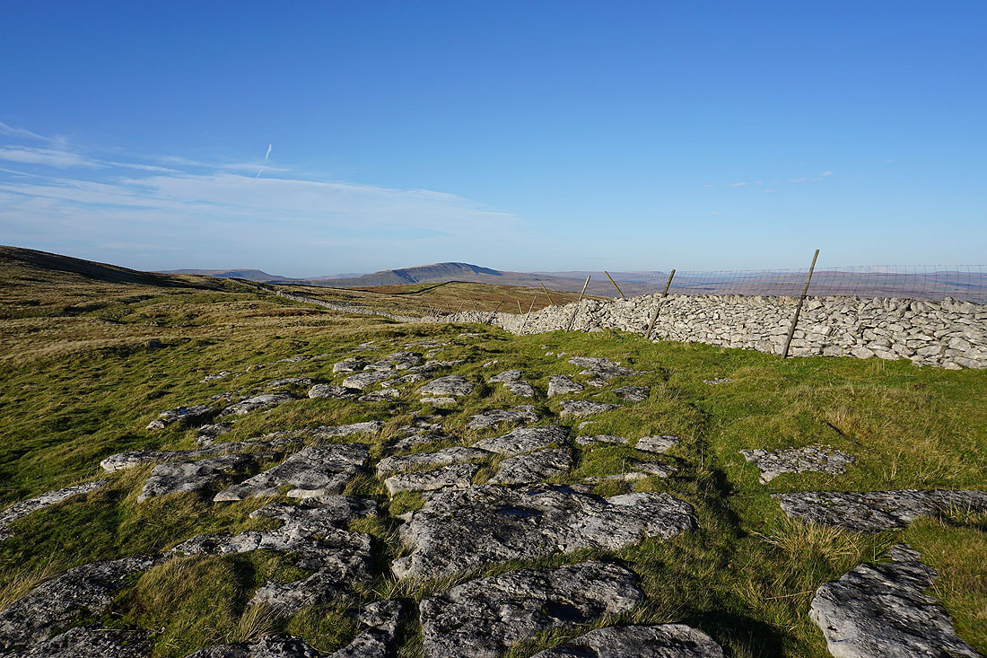
A patch of limestone provides a foreground for a view towards Whernside
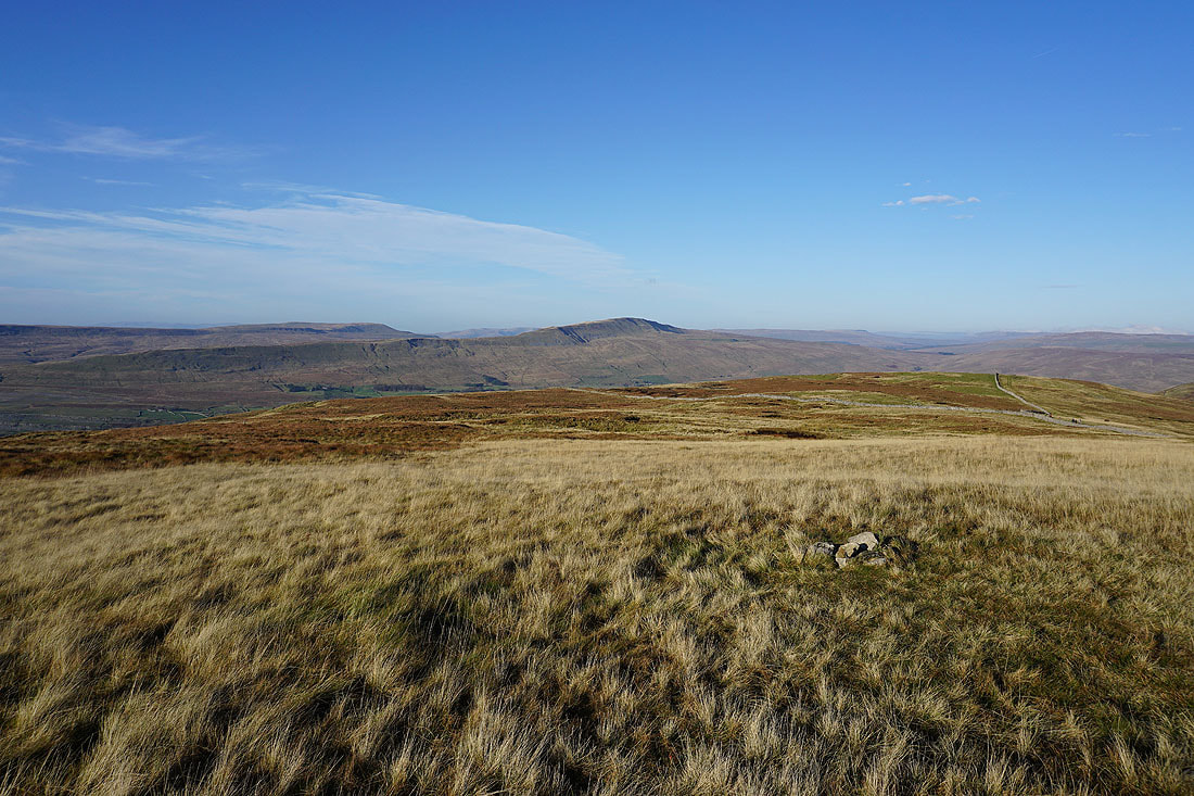
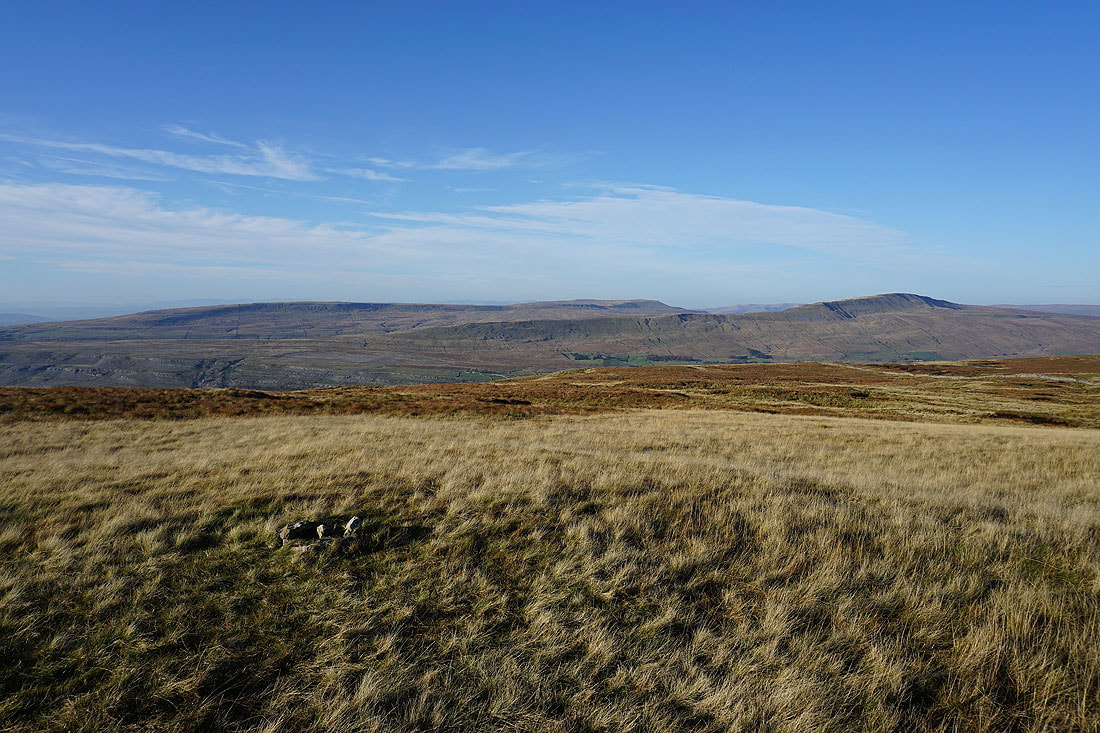
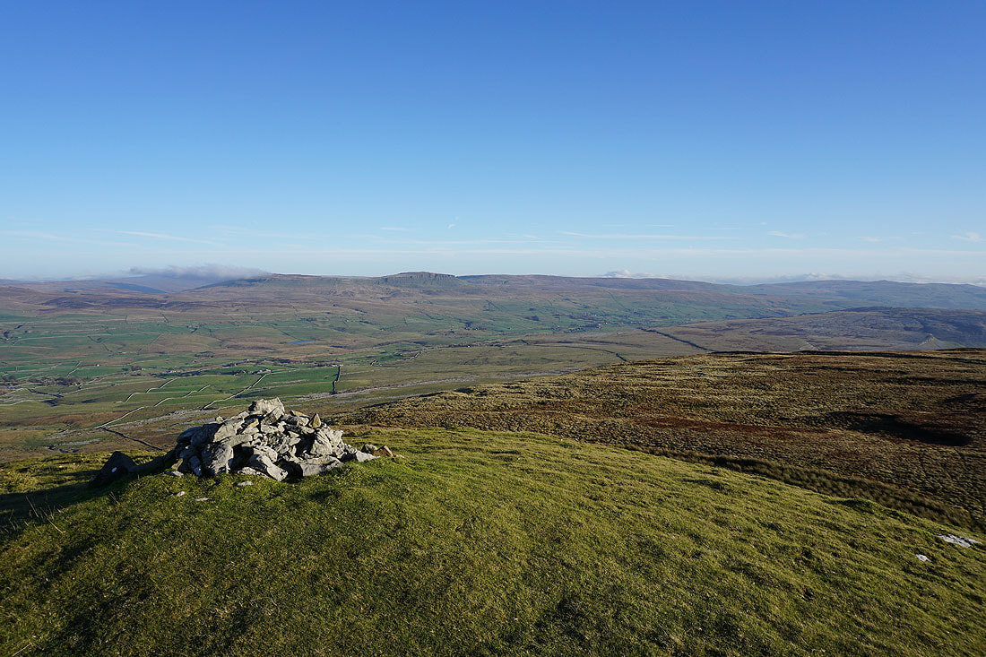
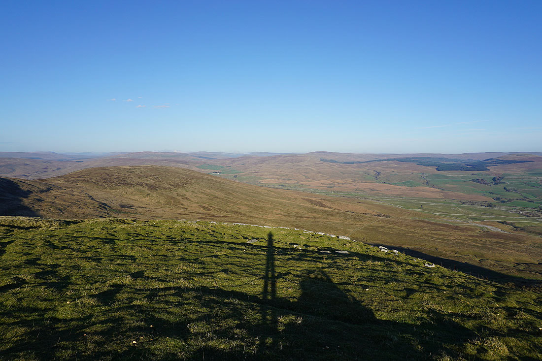
At the cairn on the Lord's Seat top. Looking across Ribblesdale to Plover Hill and Penyghent.
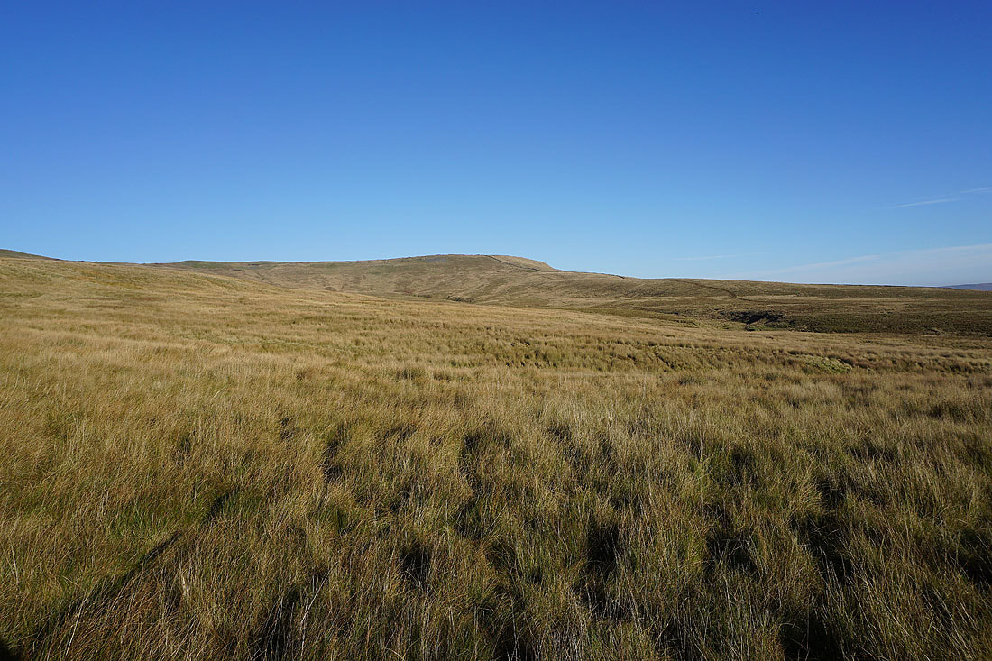
Park Fell on the left, and Cam Fell on the other side of Ribblesdale
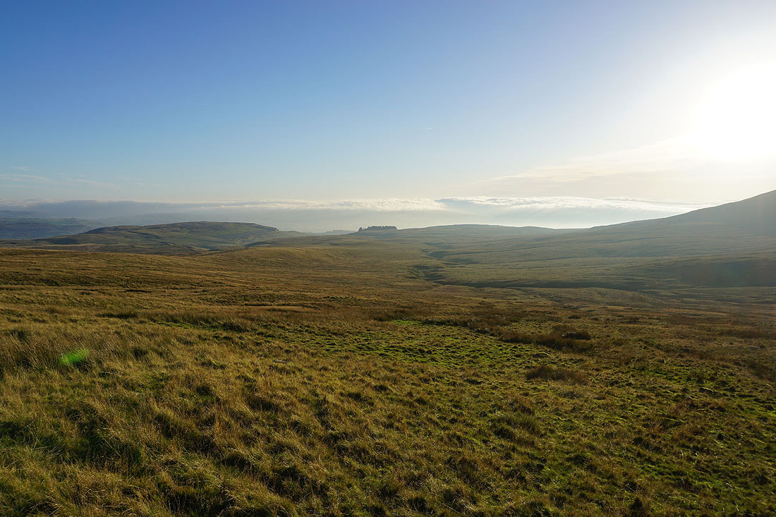
Low cloud hides the view lower down Ribblesdale around Settle
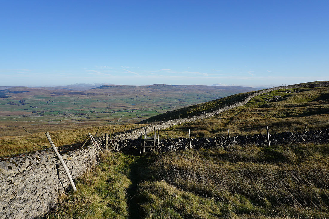
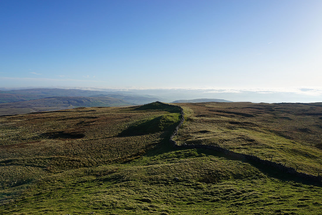
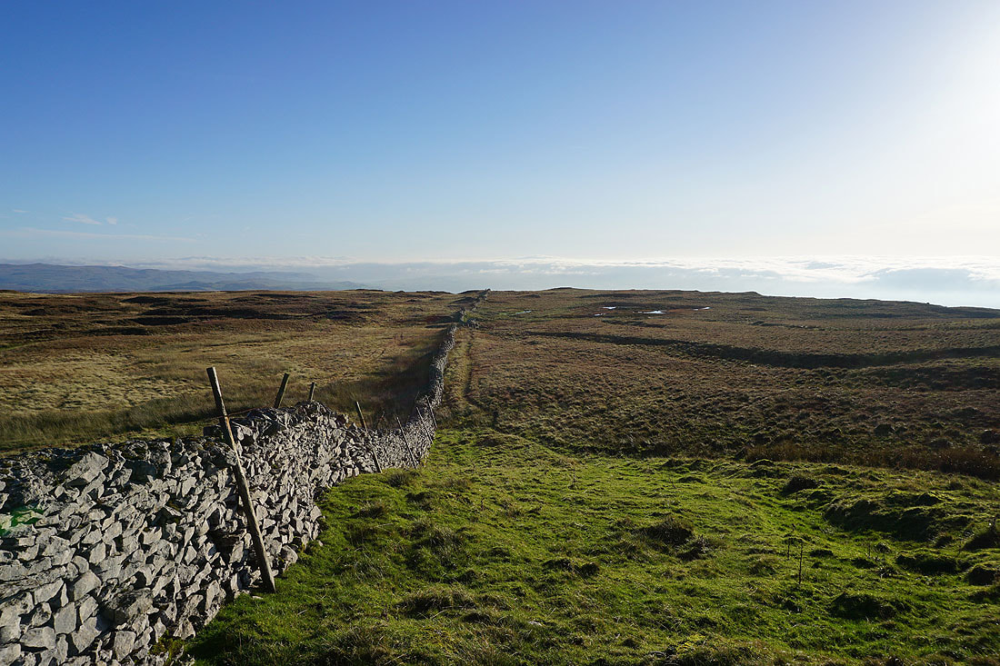
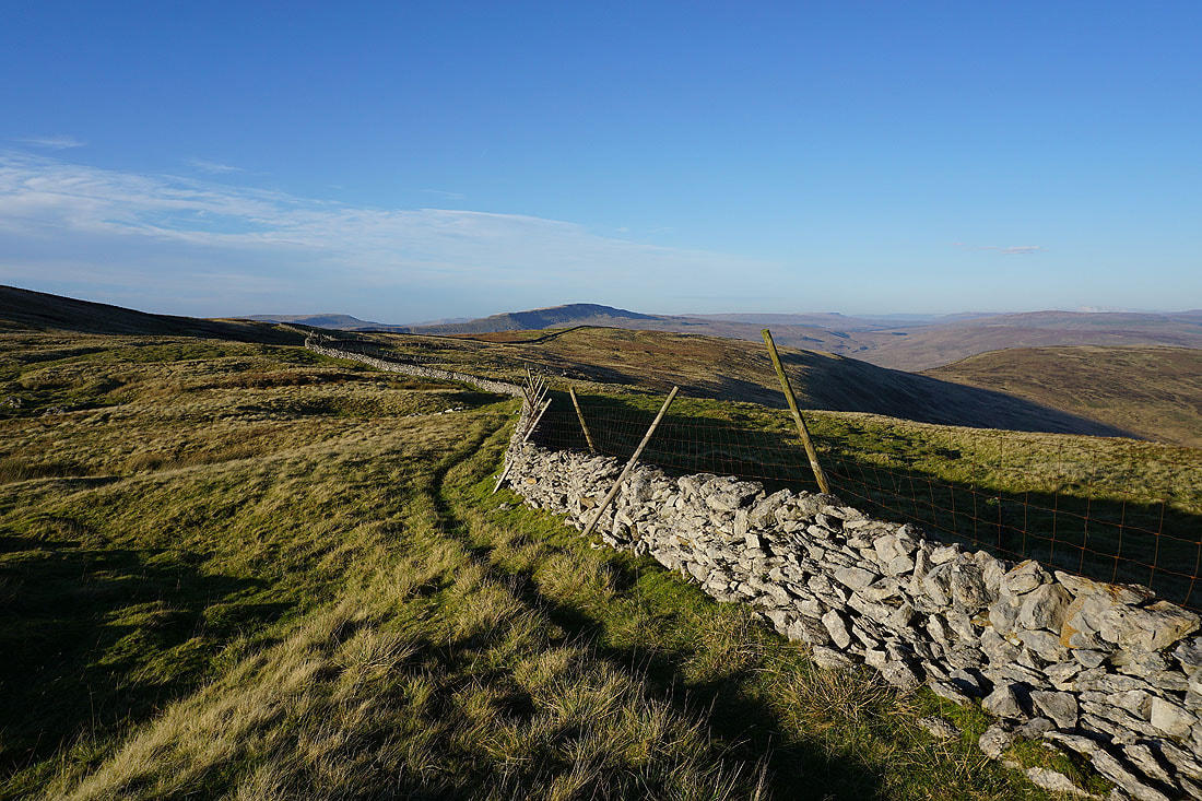
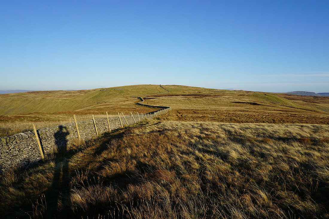
I had hoped to follow this wall down to the path across Simon Fell Breast, which I've done before. Boggy ground defeated me and I decided to turn back.
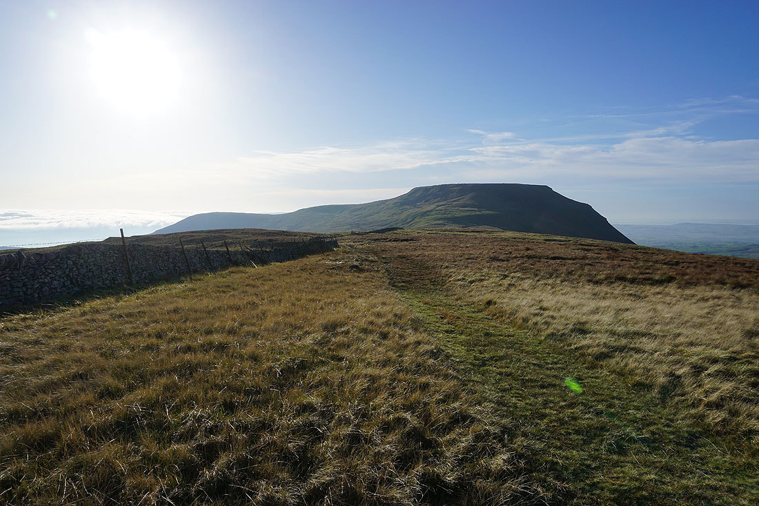
Heading back to the eastern end of Ingleborough..
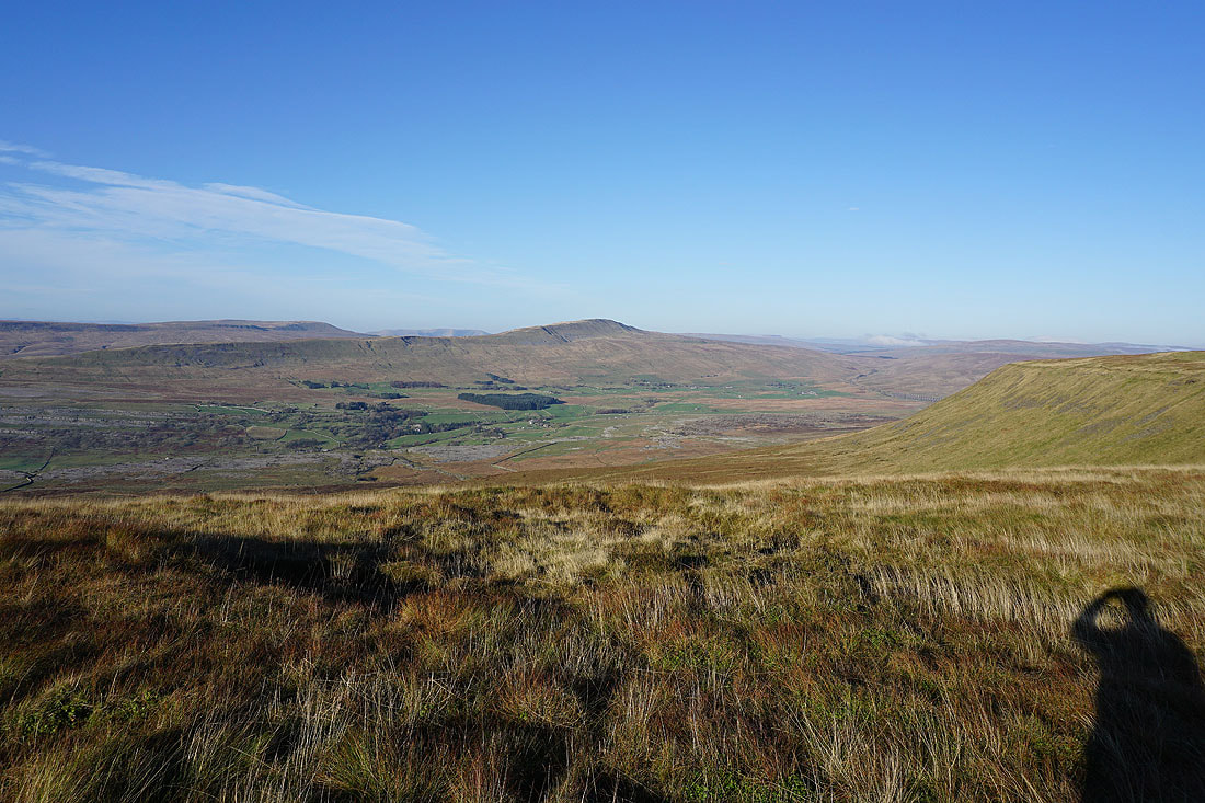
Looking across Chapel-le-Dale to Whernside
and back to Simon Fell
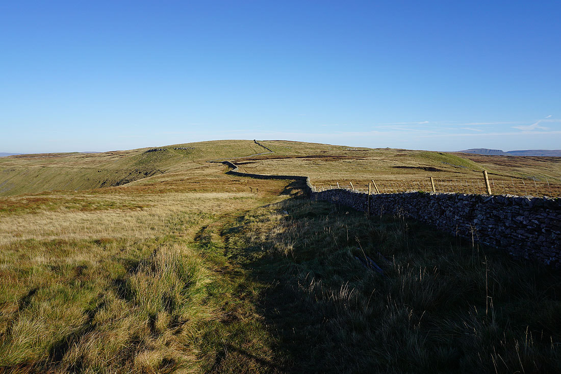
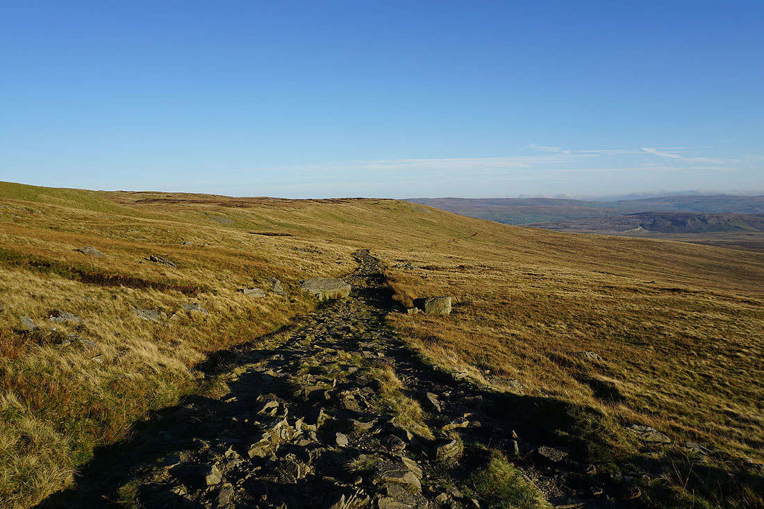
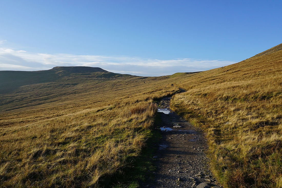
Heading down the path across Simon Fell Breast
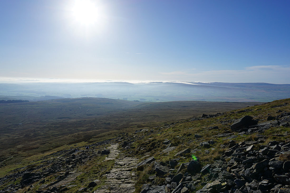
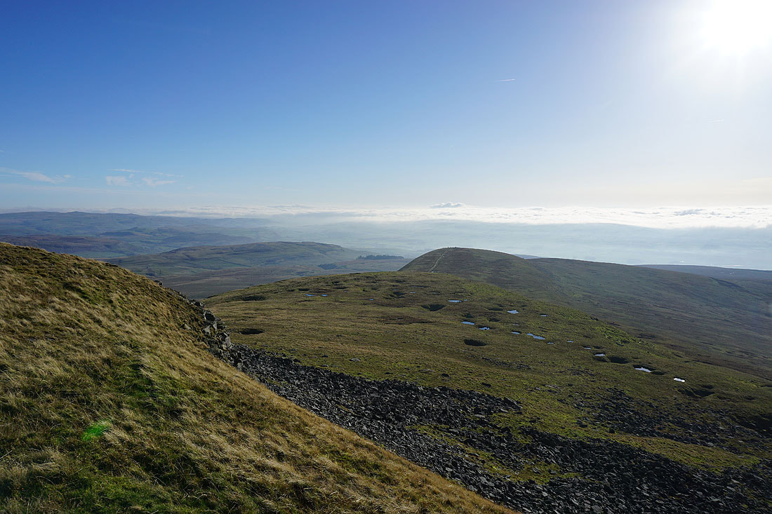
Fog and low cloud hide the countryside to the south
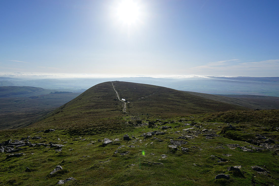
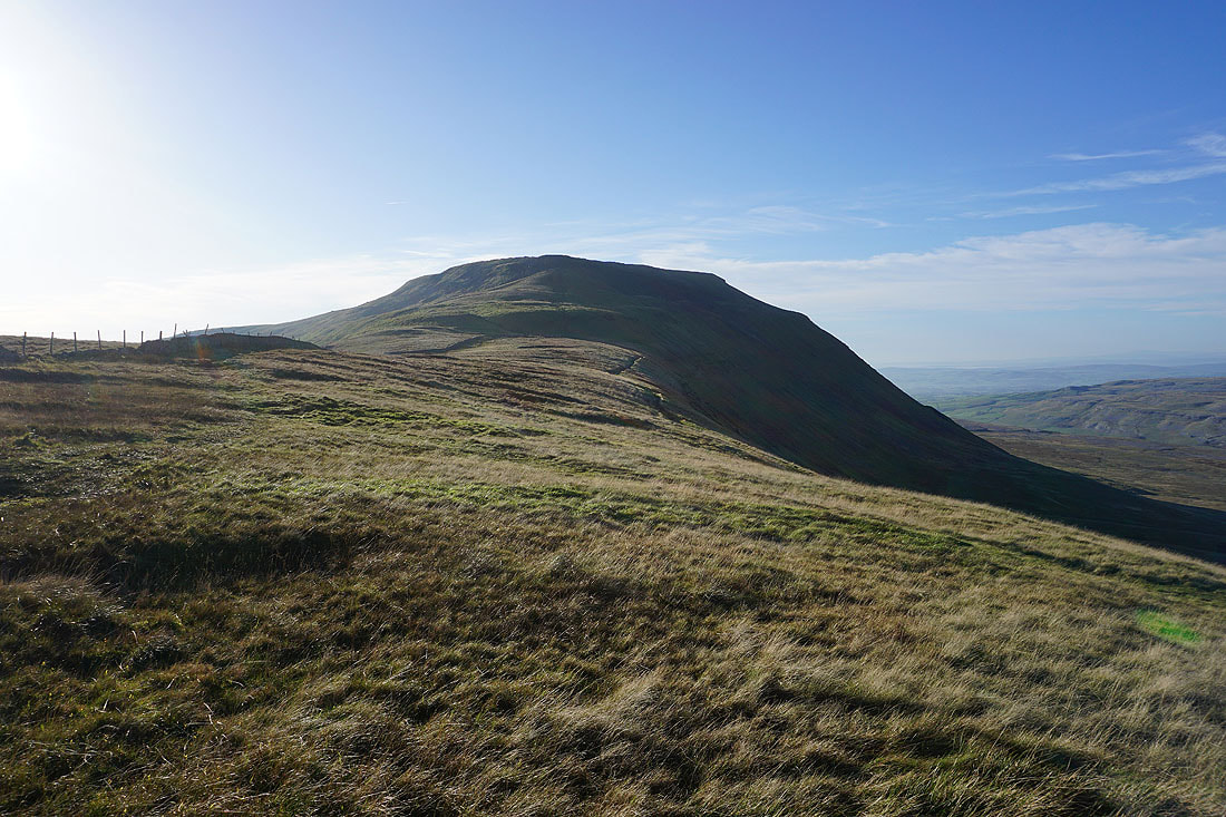
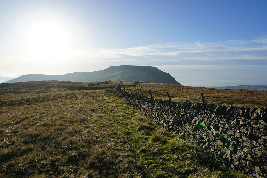
Looking back to Ingleborough
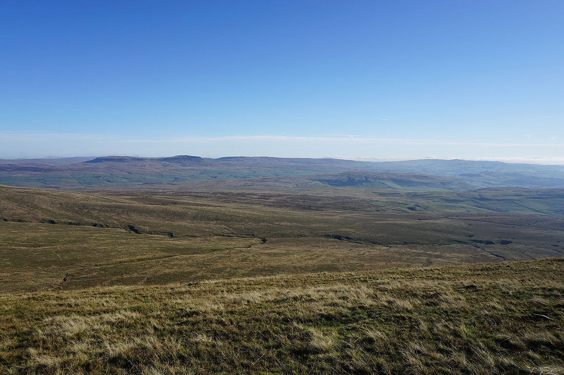
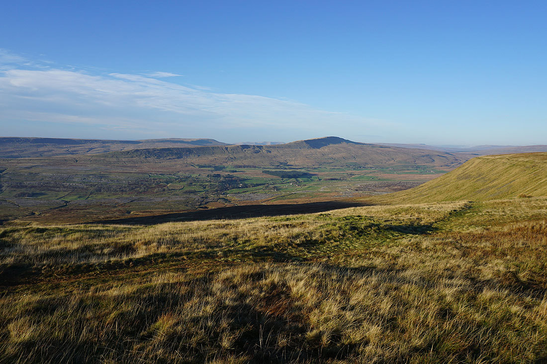
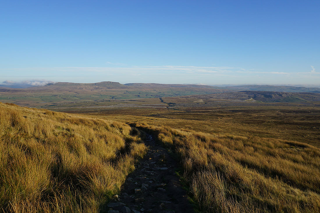
and across Ribblesdale to Penyghent and Fountains Fell
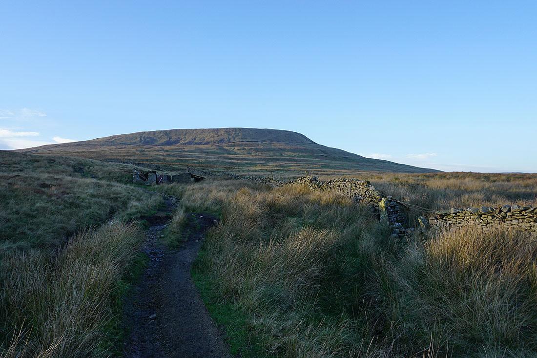
Simon Fell above the ruins of the shooting hut
I've left the path to Horton for the one to Long Scar, and fortunately there's a path to follow through the limestone pavement
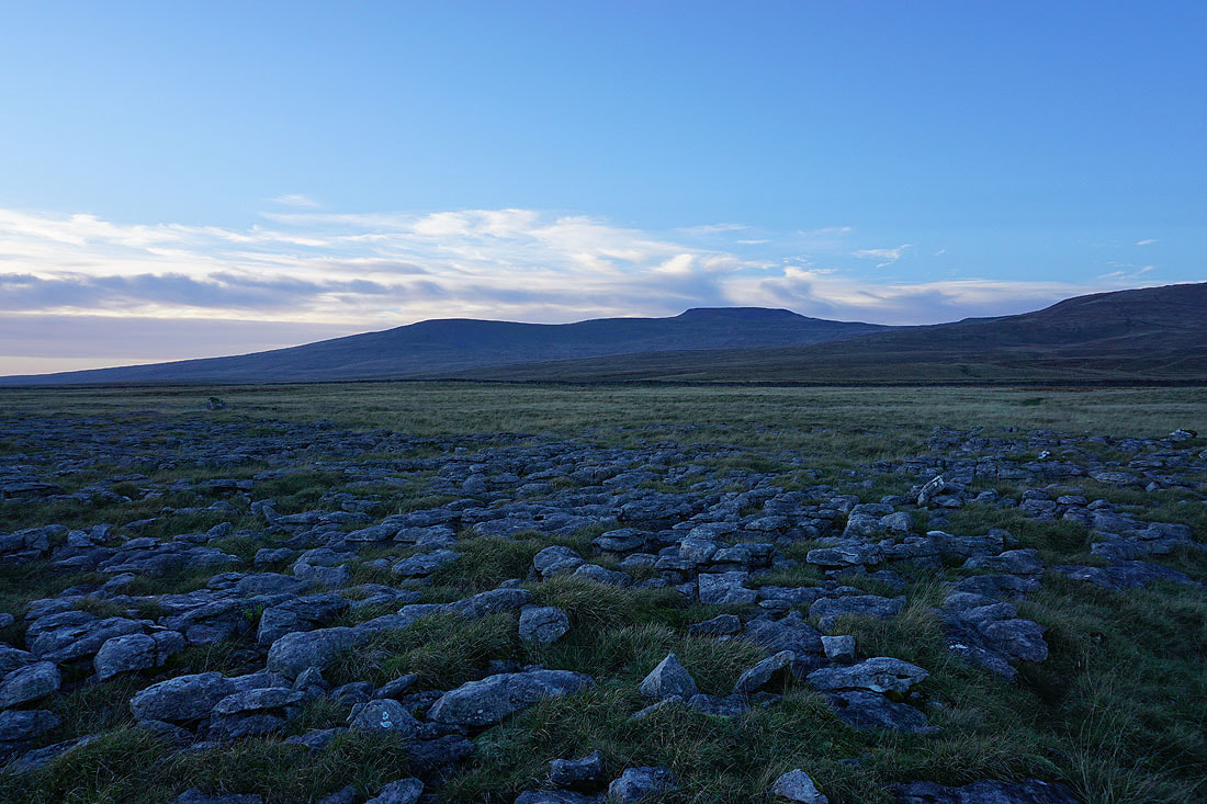
To my right is Little Ingleborough and Ingleborough..
..and to my left, Penyghent and Fountains Fell
Looking back to Ingleborough and Simon Fell
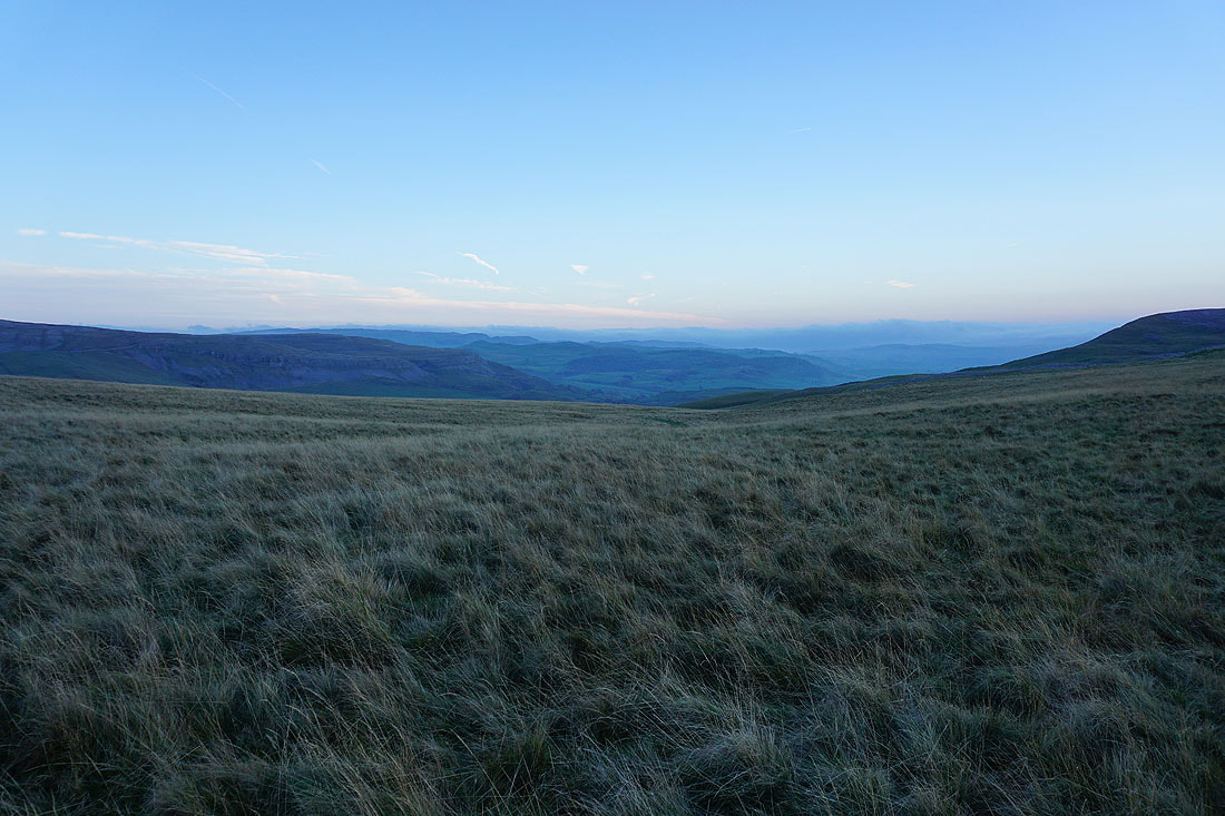
Approaching Long Scar and I get a glimpse of the neighbouring valley of Crummack Dale
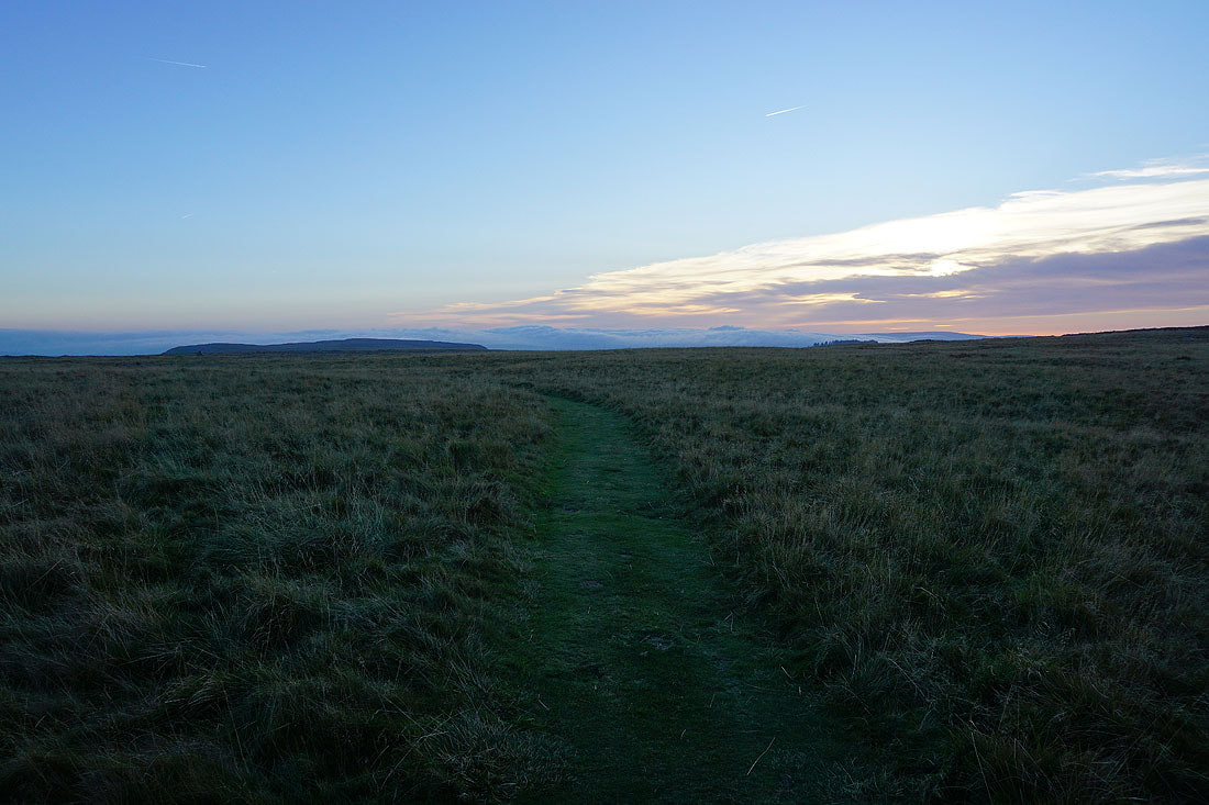
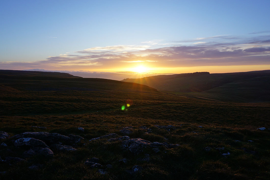
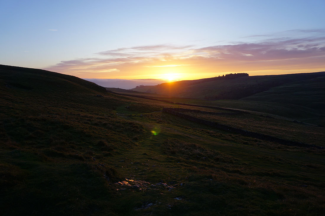
On Long Scar and the sun puts in a final appearance as it drops into a gap in the clouds
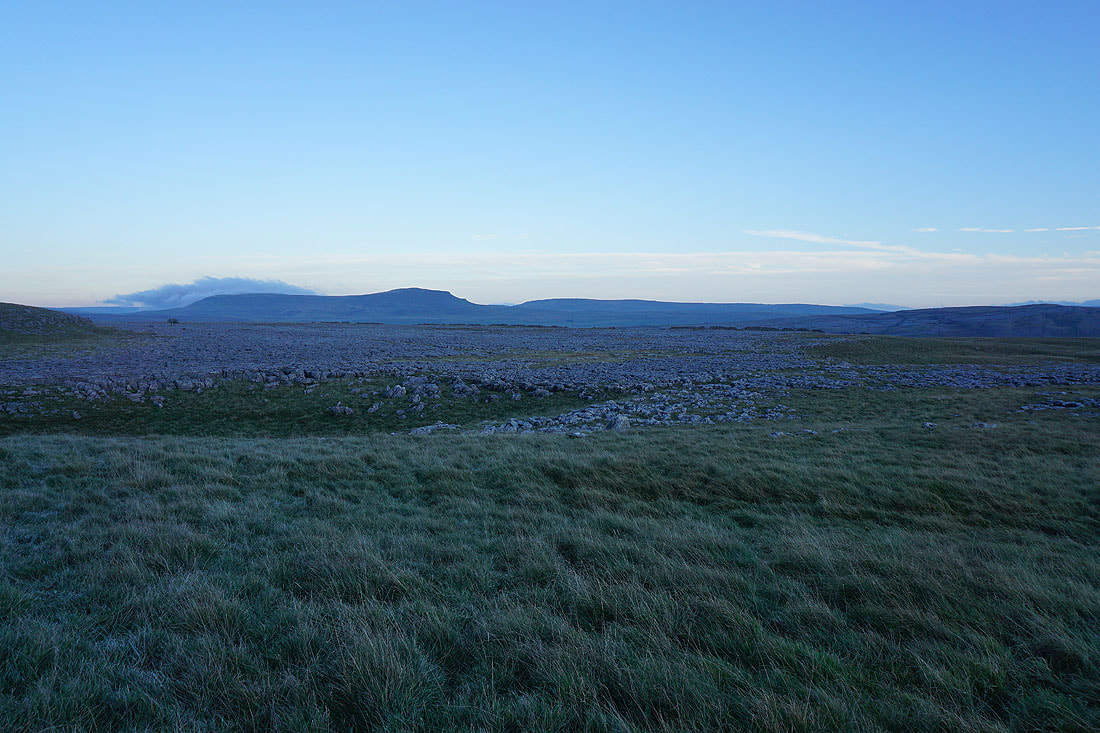
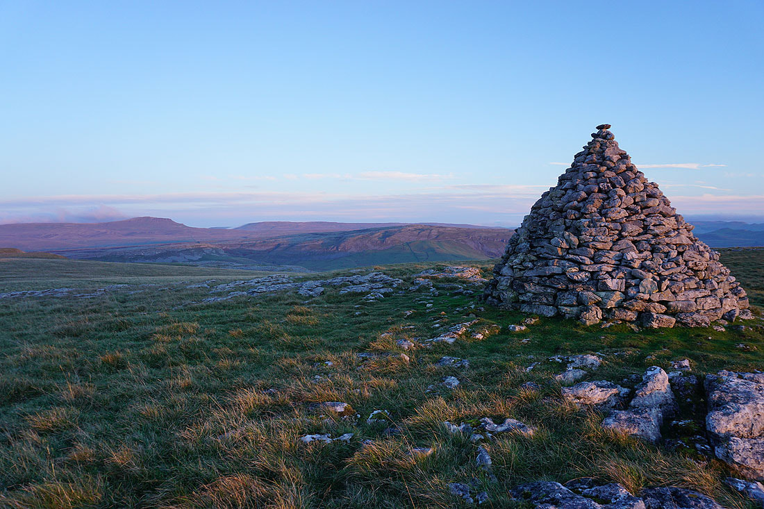
Penyghent, Fountains Fell, and Moughton from Long Scar
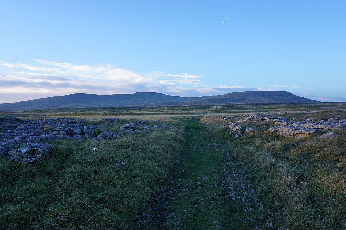
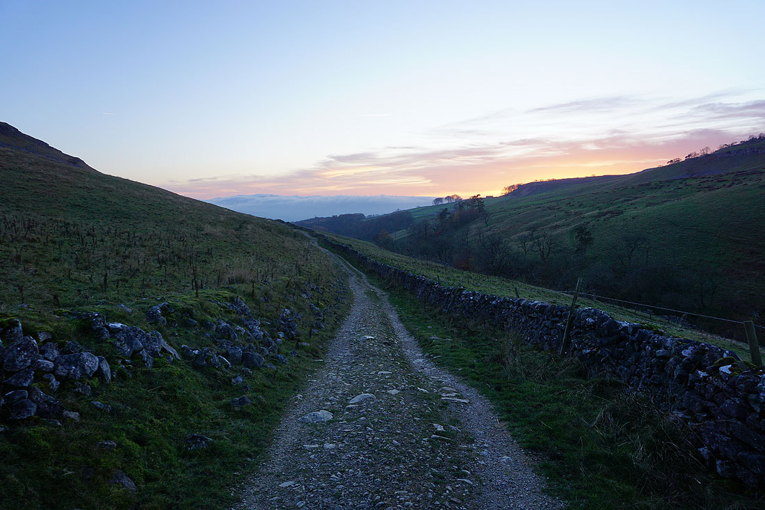
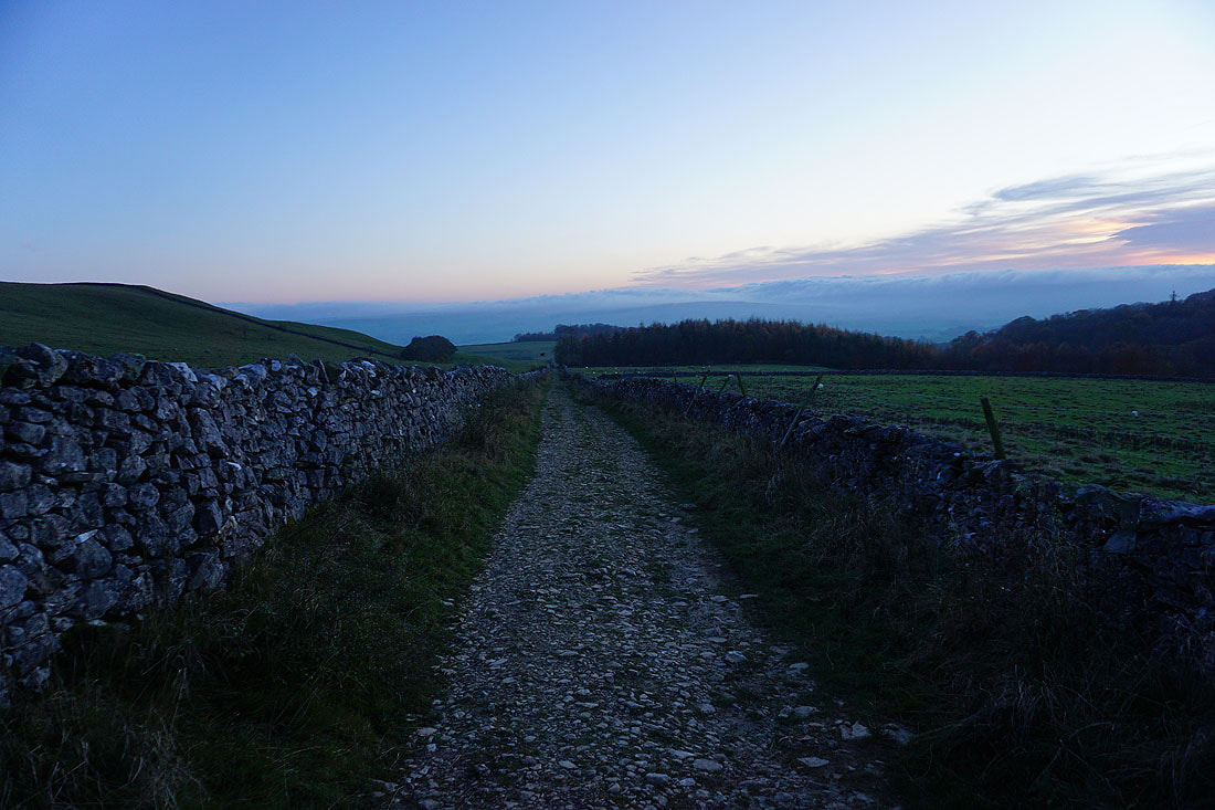
Leaving Long Scar I take the track of Long Lane back to Clapham...
